 Block
BlockRanchitos las Lomas Colonia, Texas
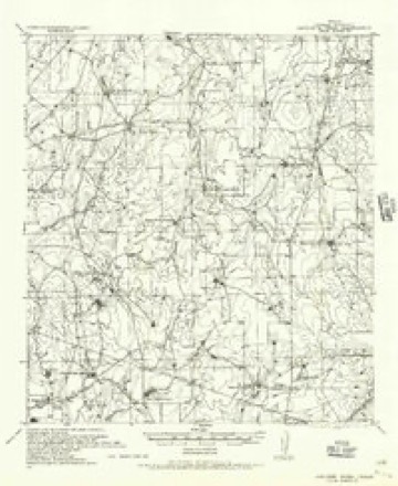
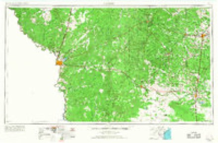
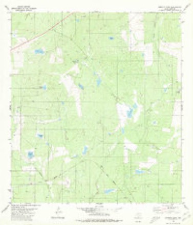
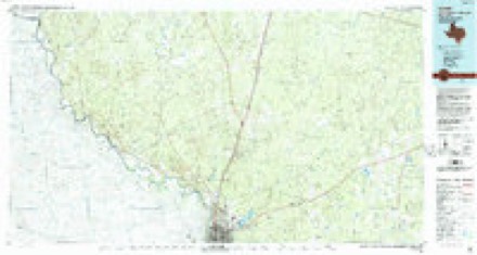
8 topographic sheets cover this place, the earliest surveyed in 1937 and the latest in 1985. It stands in the Laredo North-Webb census division. It lies in ZIP code area 78044. The Survey maps it on the Burrito Tank quadrangle.
Topographic sheets covering this place
4 surveys from 8 printed sheetsMatched by testing this settlement's coordinate against the published boundary of every sheet in the United States Geological Survey's historical collection. Each opens the scanned sheet at the Survey.
- 1937 USGS Aguilete Creek quadrangle1:62500
- 1956 USGS Laredo quadrangle1:250000, 3 printings
- 1980 USGS Burrito Tank quadrangle1:24000
- 1985 USGS Laredo quadrangle1:100000, 3 printings
Nearest settlements
The eight closest, with where each one stands in the county. Distances are straight-line, computed from the Geographic Names Information System coordinates.
| Map | Place | Distance | Sheets |
|---|---|---|---|
| Regency Village Colonia | 0.6 miles | 8 | |
| Ranchitos las Lomas Number 2 Colonia | 1.1 miles | 8 | |
| Los Veteranos 59 Colonia | 1.3 miles | 8 | |
| Ranchitos los Centenarios Colonia | 1.4 miles | 8 | |
| Ranchitos los Arcos Colonia | 1.4 miles | 8 | |
| Ranchitos los Fresnos Colonia | 1.6 miles | 8 | |
| Ranchitos los Nopalitos Colonia | 1.7 miles | 8 | |
| Ranchitos los Mesquites Colonia | 1.8 miles | 8 |
Provenance
This settlement is recorded in the Geographic Names Information System as feature 2010711. The sheet list is computed by point-in-boundary test against the United States Geological Survey's historical topographic inventory. Both are works of the United States government and carry no copyright under 17 U.S.C. 105.