 Block
BlockFrom the record
9 National Register listings published here.
Sources: the National Register database, National Park Service
55 topographic sheets cover 79 settlements here, and 9 properties are on the National Register of Historic Places.
9 National Register listings published here.
Sources: the National Register database, National Park Service
Every property in this county listed on the National Register of Historic Places, with the year it was listed and the federal nomination document.
| Photograph | Property | Type | Listed | Reference |
|---|---|---|---|---|
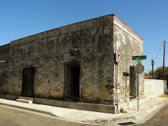 | Barrio Azteca Historic District | district | 2003 | 03000431 |
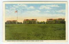 | Fort McIntosh | district | 1975 | 75002011 |
 | Hamilton Hotel | building | 1992 | 92000363 |
 | Laredo US Post Office, Court House and Custom House | building | 2001 | 01000516 |
| Los Ojuelos | district | 1976 | 76002084 | |
| Pan-American Courts and Cafe | building | 2022 | 100007392 | |
 | San Augustin de Laredo Historic District | district | 1973 | 73001983 |
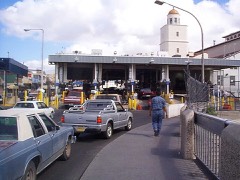 | U.S. Inspection Station-Laredo, Texas | building | 2014 | 14000600 |
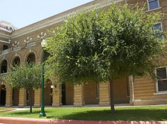 | Webb County Courthouse | building | 1981 | 81000635 |
Drawn when these were printed as single large sheets: the town seen from the air, and the county divided into its farms with every owner named. Each opens the original at the Library of Congress.

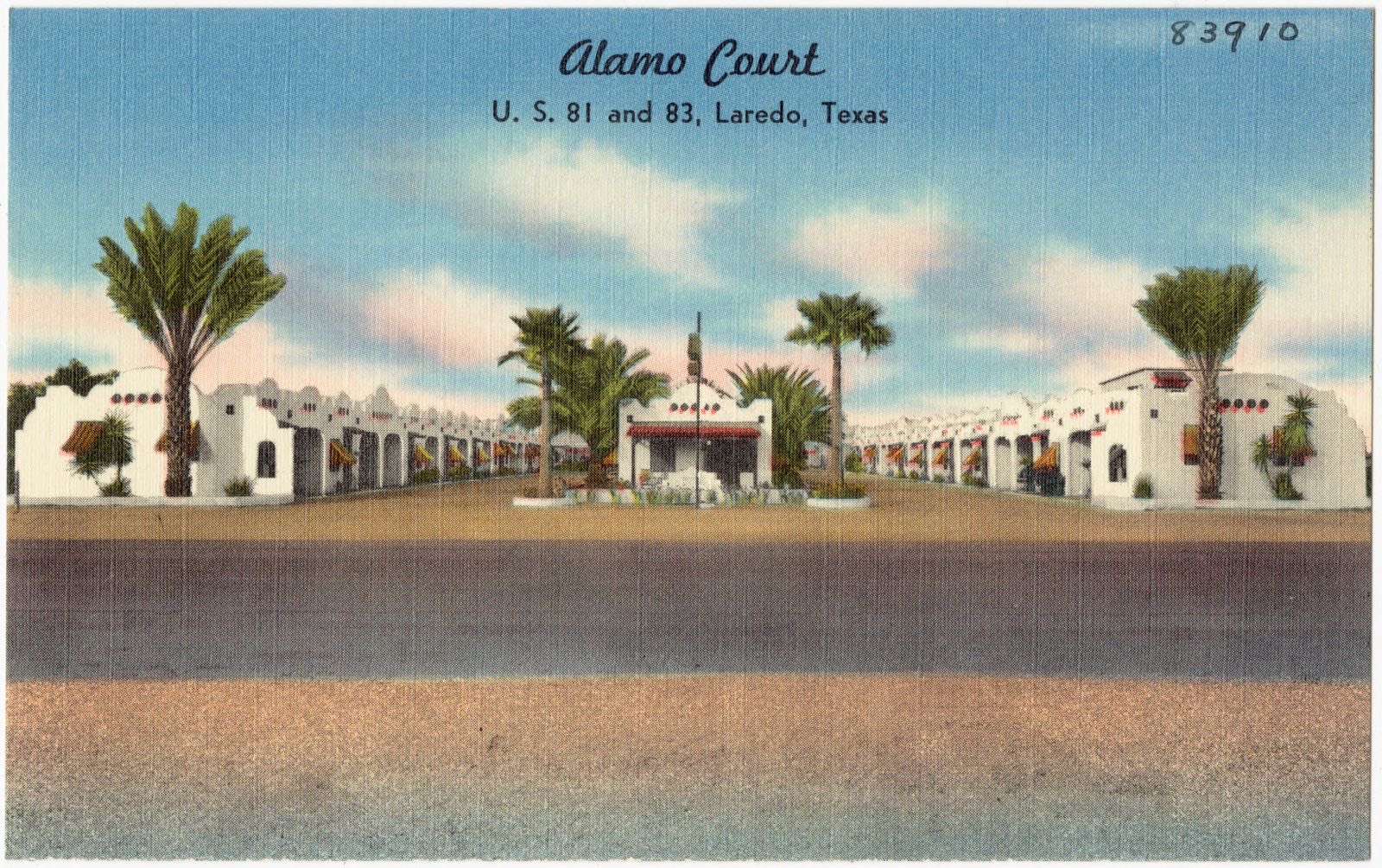
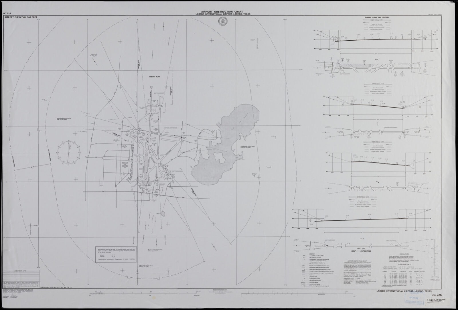
Selected from the Digital Public Library of America's 7 image records catalogued for this county. Every one shown here carries a public-domain status or a licence that permits reuse on a site that carries advertising; non-commercial, share-alike and restricted images are excluded. The selection is spread across the county's towns (at most eight per town), so no single institution's bulk upload crowds out the rest. Each opens the holding library's record, and the complete set at the Digital Public Library of America is one click away.

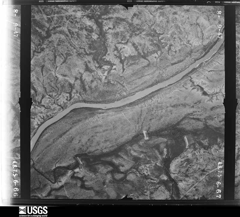
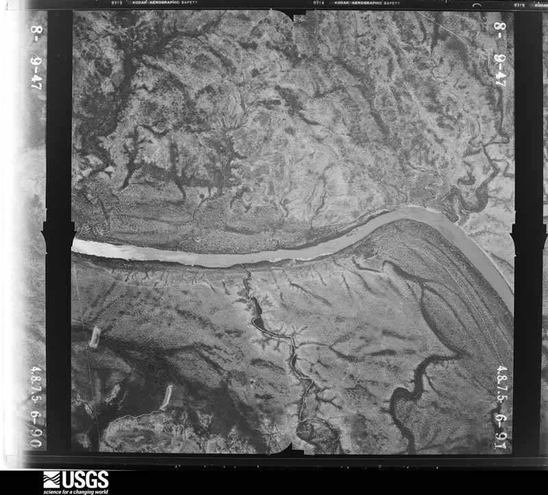
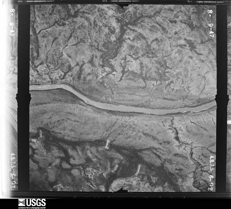
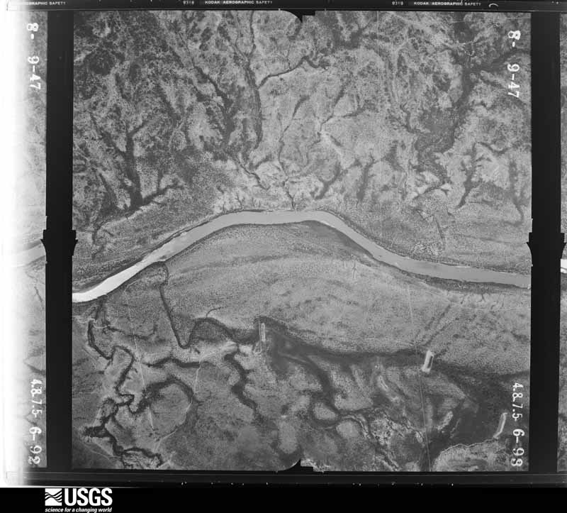
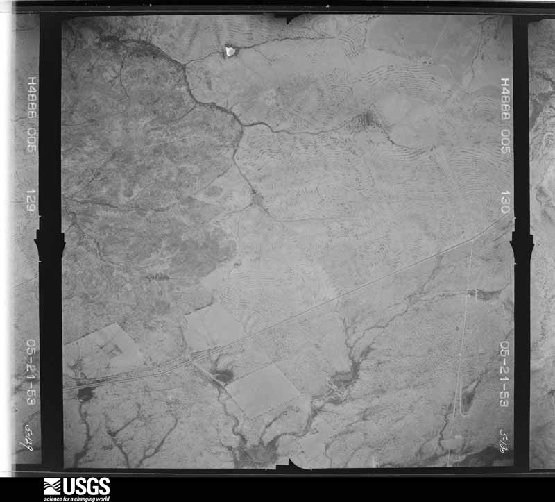
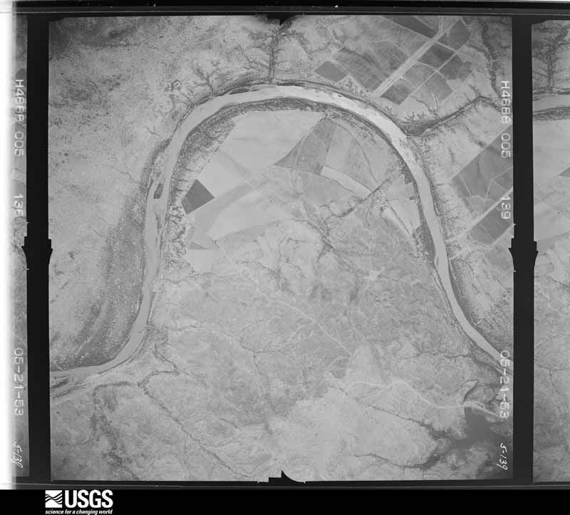
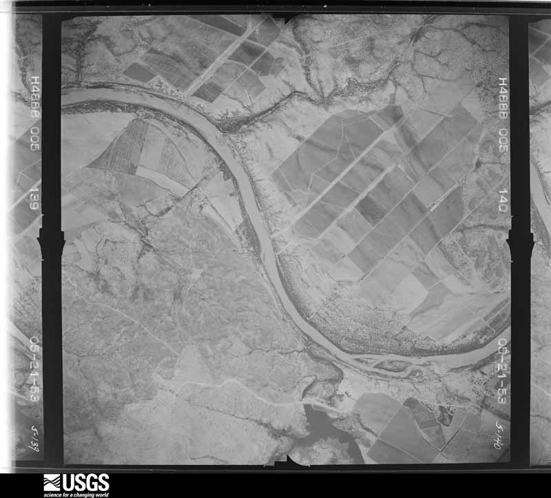
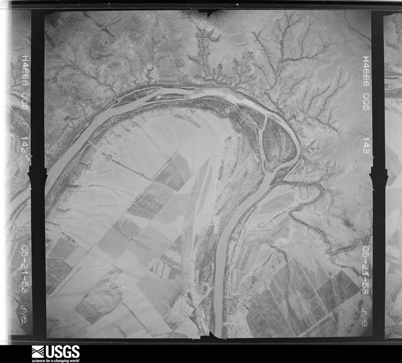
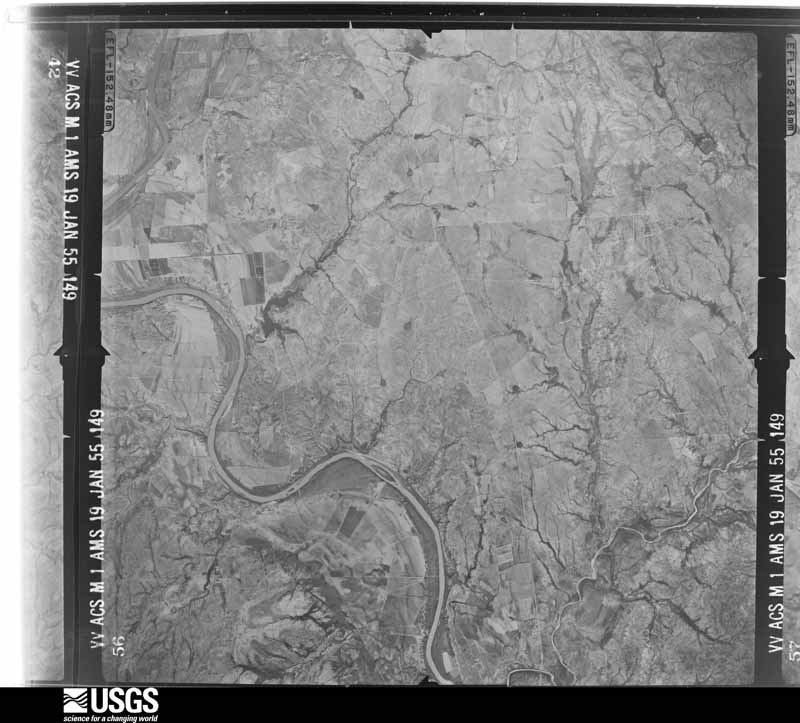
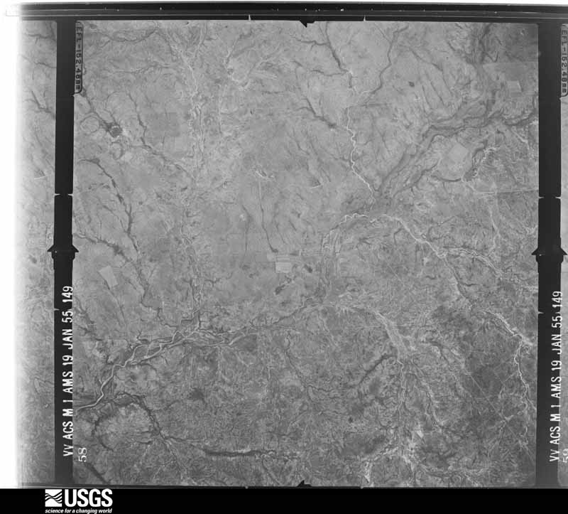
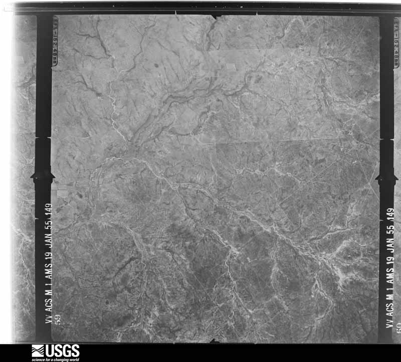
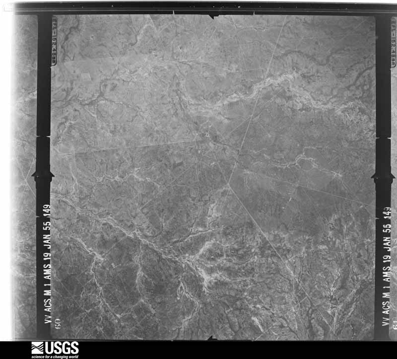
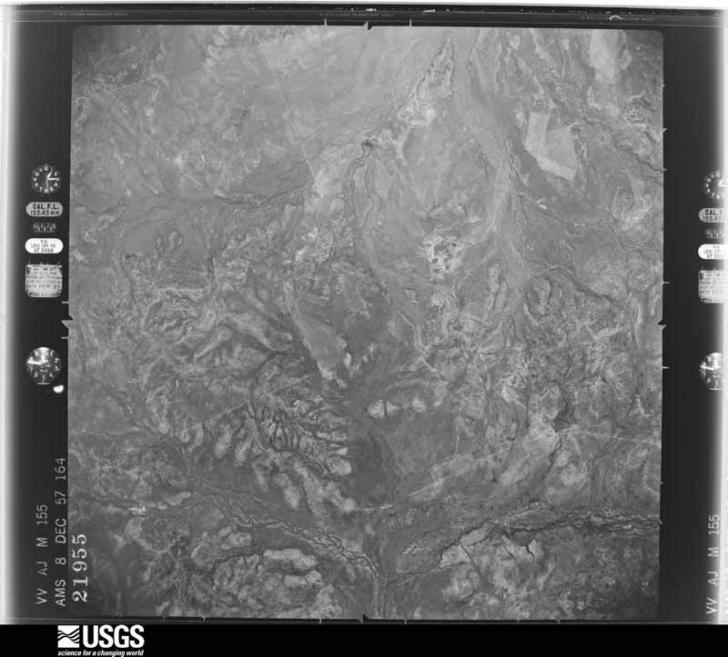
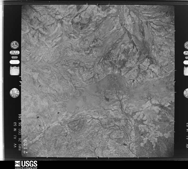
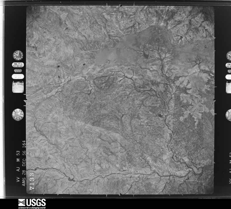
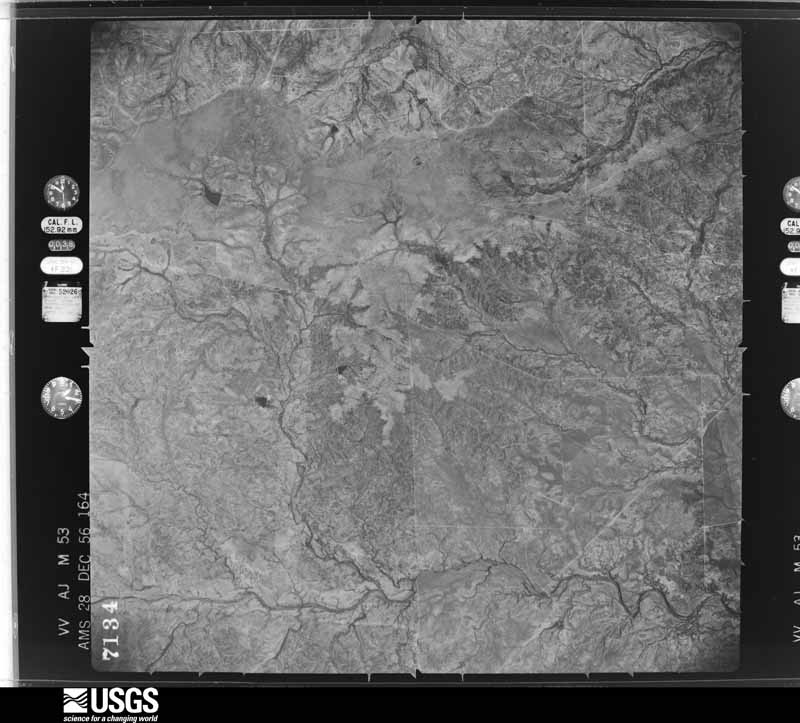
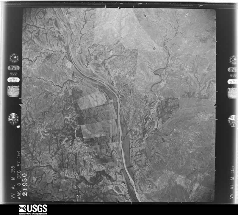
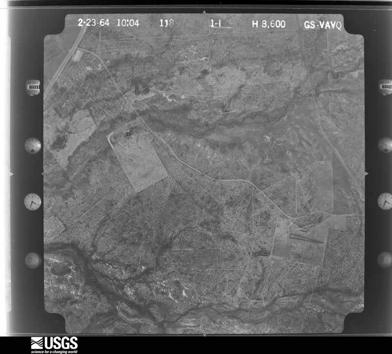
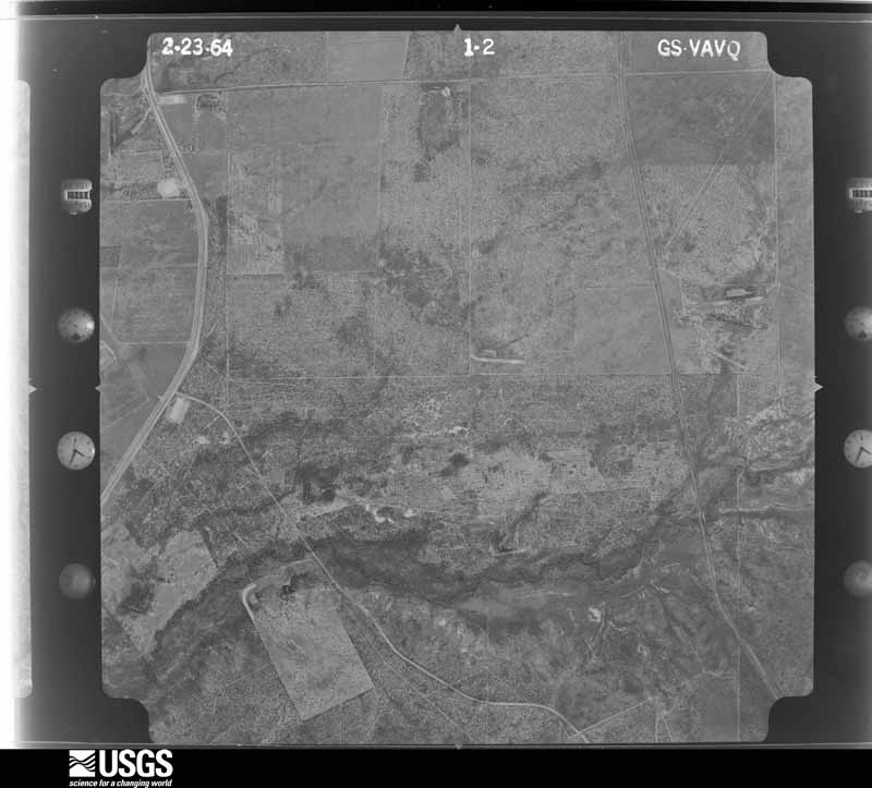
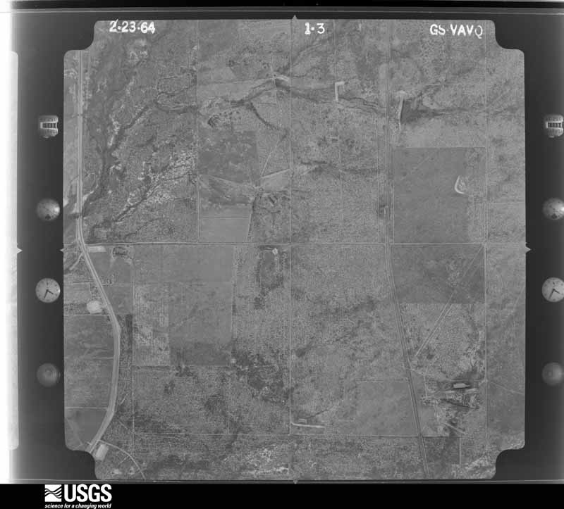
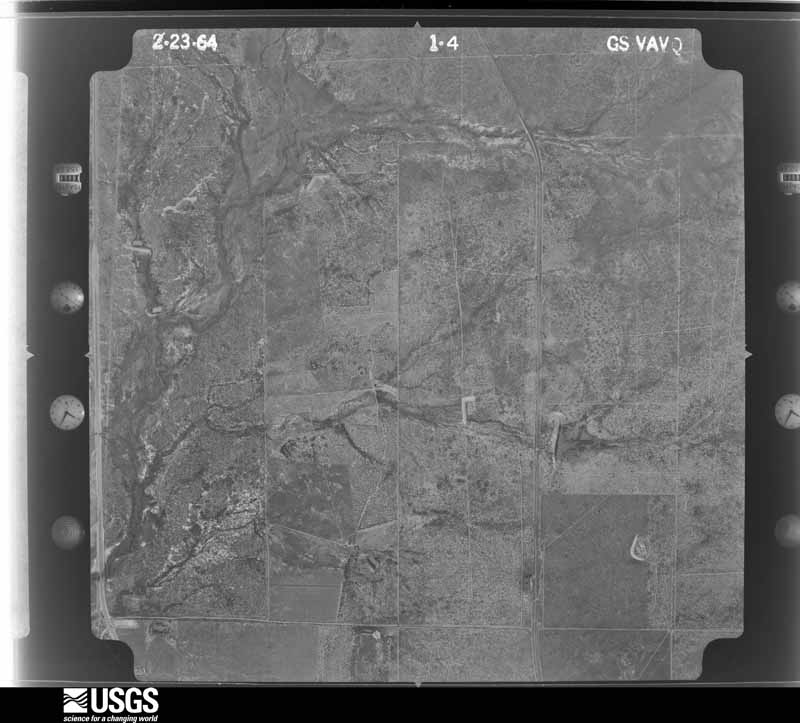
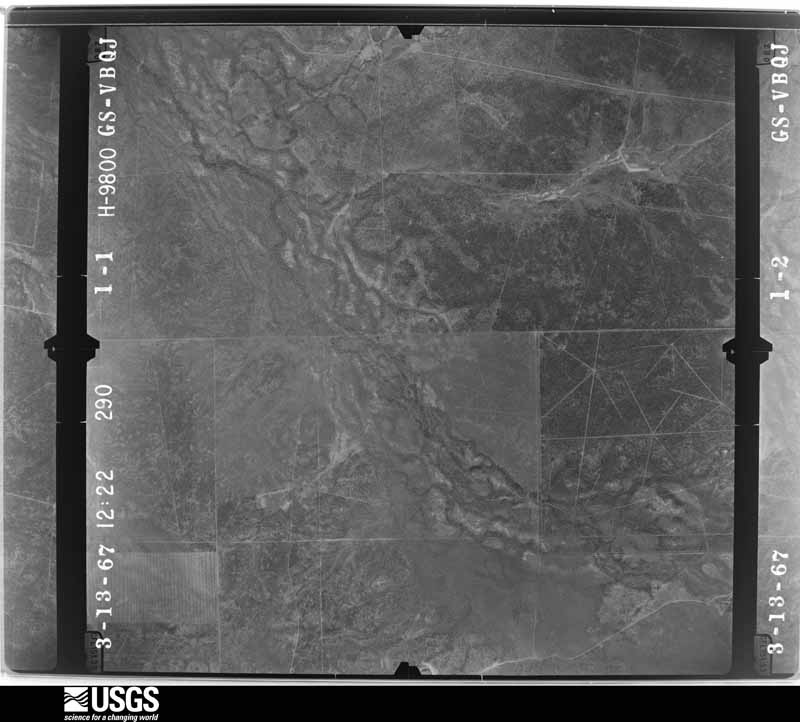
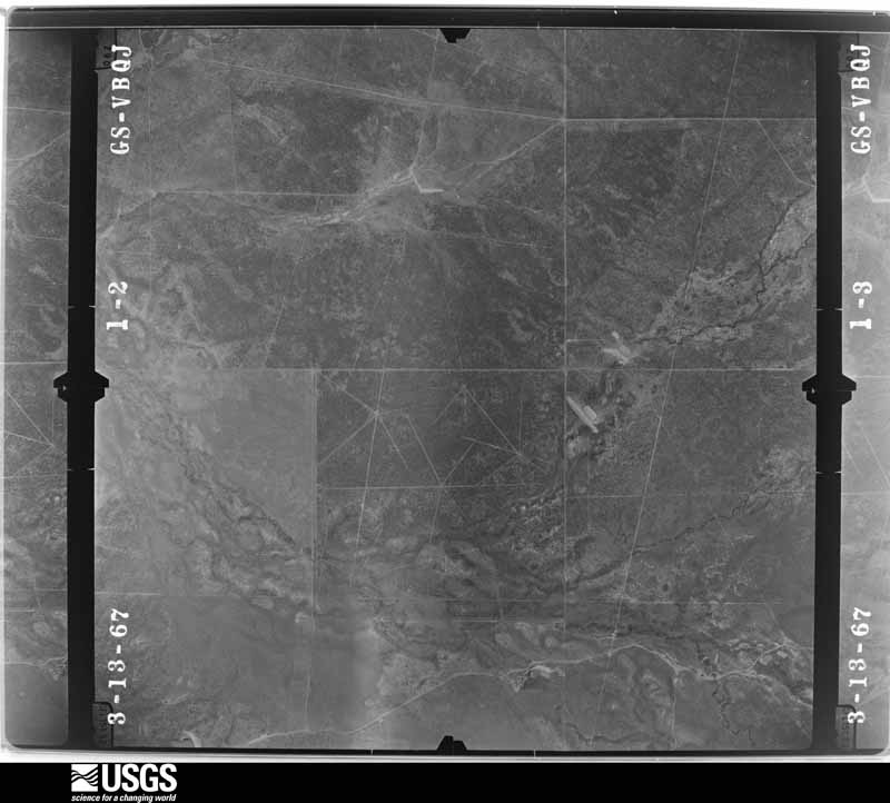
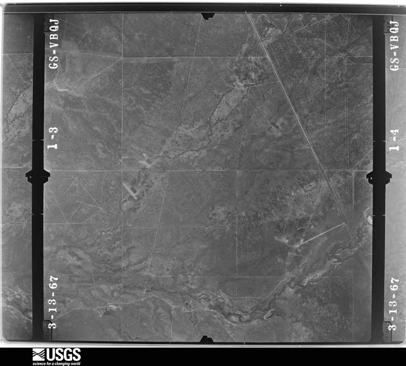
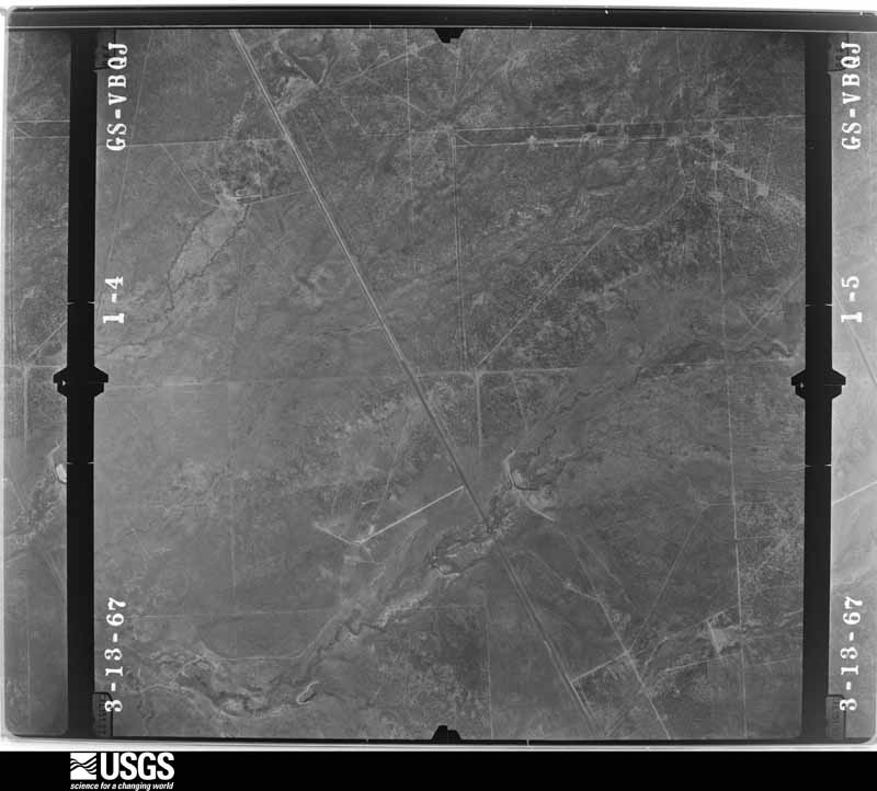
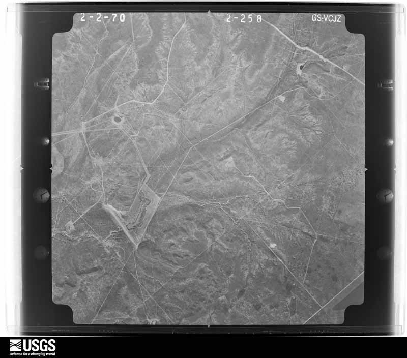
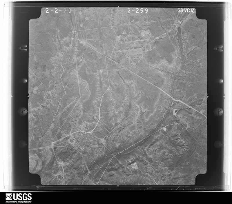
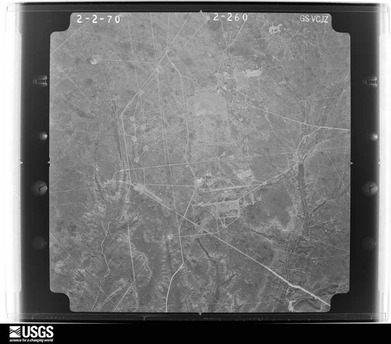
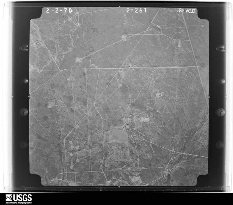
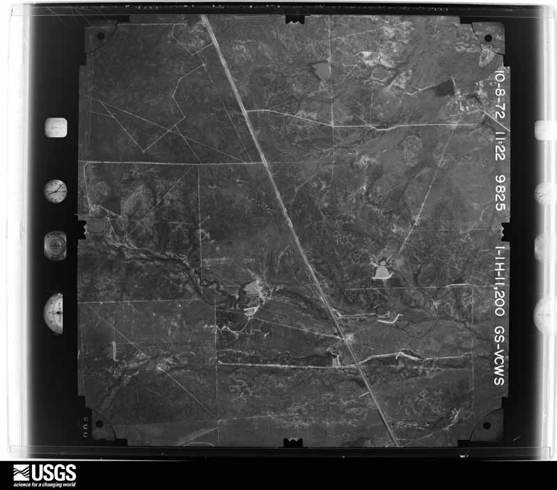
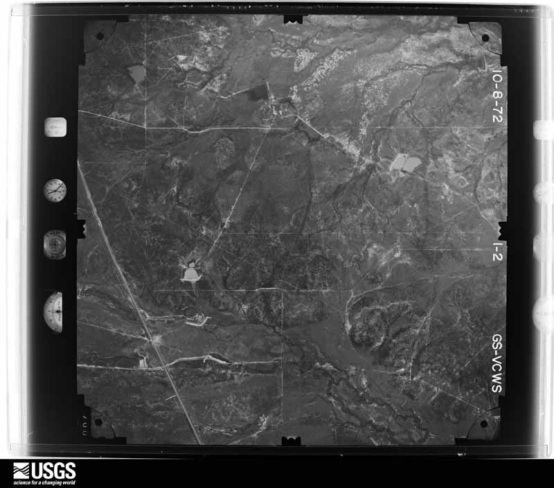
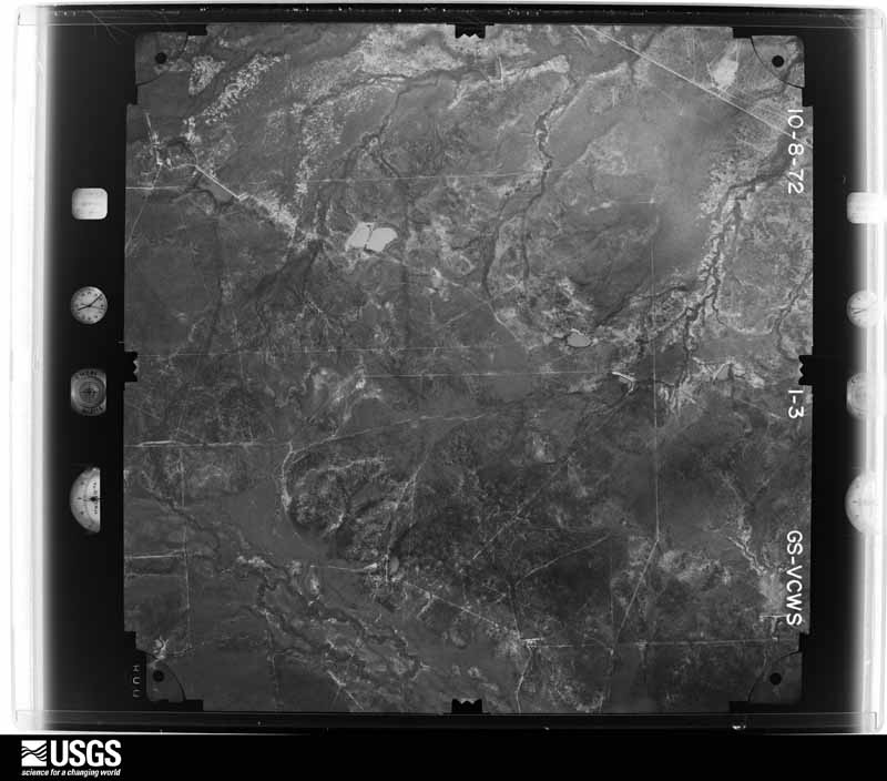
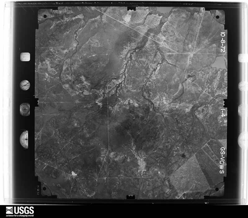
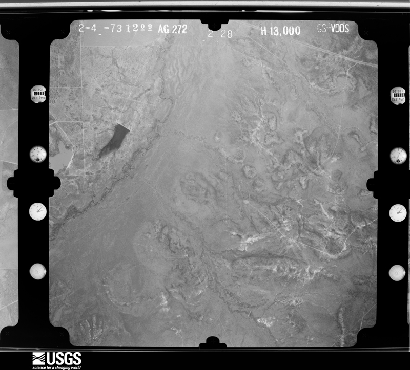
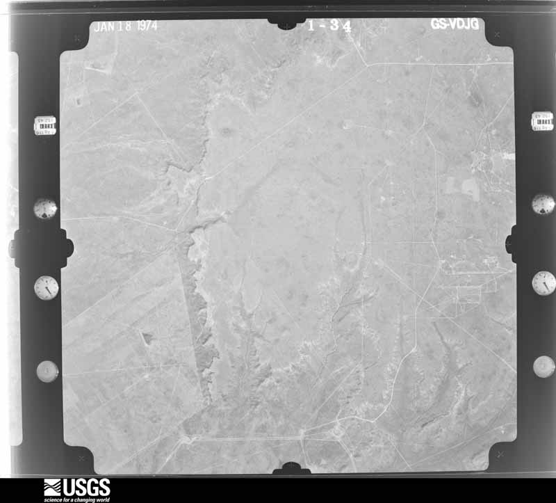
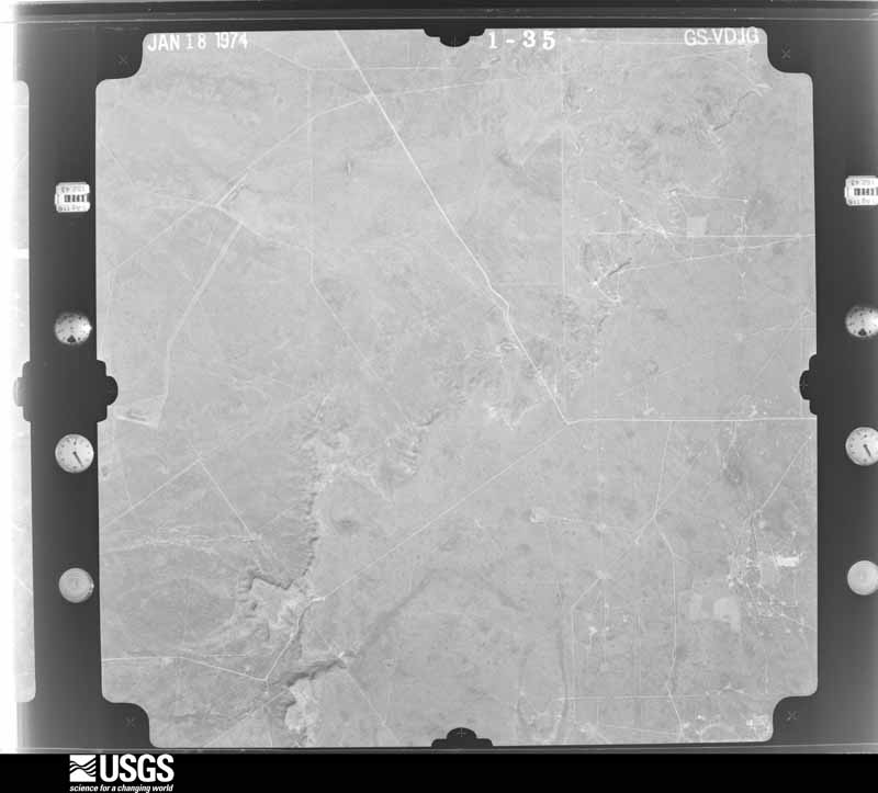
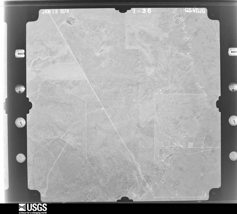
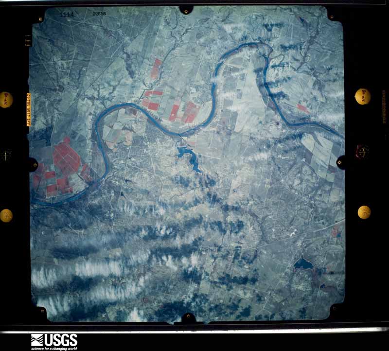
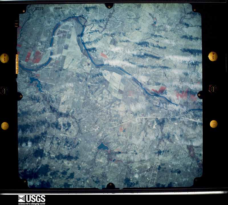
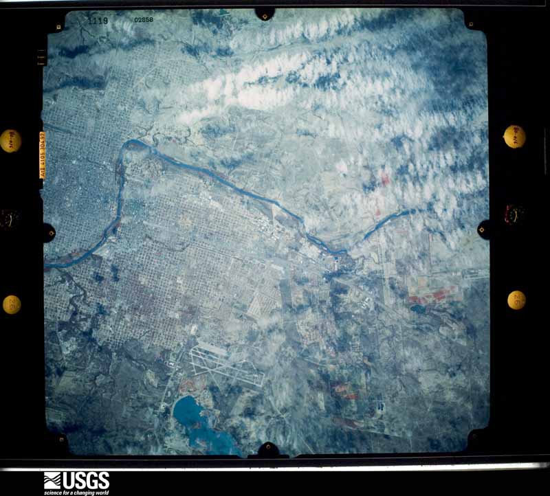
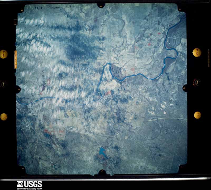
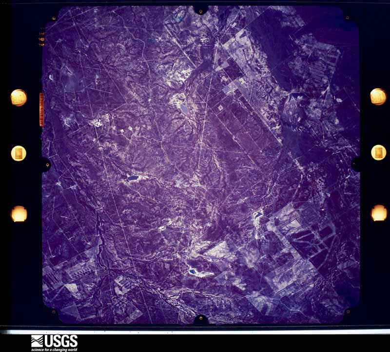
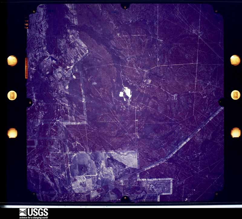
Flown by the U.S. Geological Survey between 1937 and 1989, the Aerial Photo Single Frames collection is the definitive mid-century view of the land: fields, roads and rivers as the camera saw them. The Survey holds 2,568 frames inside the rectangle that bounds this county; the 48 frames below were taken over the county itself, chosen across the decades of flights (at most four a year from that rectangle), so one flight cannot crowd out the rest. The full set is free to browse and download at EarthExplorer under the dataset Aerial Photo Single Frames.
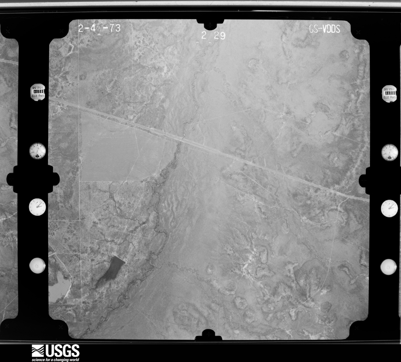
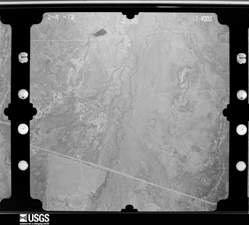
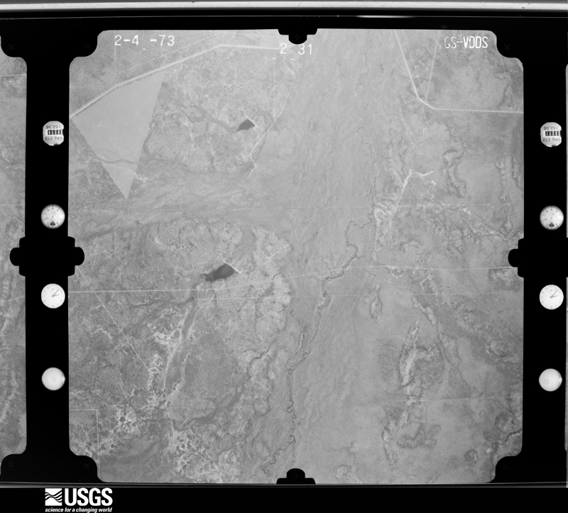
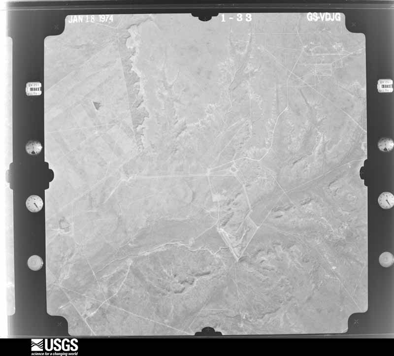

The thermometers that kept this county's weather, and the gages that measured the flow of its streams, as the federal records hold them. The extremes below are measured values from those records, not estimates.
Who lived here in 1950, one enumeration district at a time, as the Census Bureau described each district. Each row opens its official National Archives result, with Population Schedules and ED Maps available there.
Every wildfire the federal occurrence database records inside this county: 178 of them, burning about 17,026 acres. 3 started naturally and 4 were recorded as arson. Each settlement page carries the fires within five miles of it.
| Reported cause | Fires |
|---|---|
| Debris and open burning | 75 |
| Missing data/not specified/undetermined | 55 |
| Equipment and vehicle use | 18 |
| Misuse of fire by a minor | 10 |
| Smoking | 9 |
| Arson/incendiarism | 4 |
| Natural | 3 |
| Power generation/transmission/distribution | 2 |
| Railroad operations and maintenance | 1 |
| Recreation and ceremony | 1 |
The five largest, by the area the report gives. None of them was recorded as arson.
| Date | Cause | Size | Reported by | Name on the report |
|---|---|---|---|---|
| 16 May 2006 | Recreation and ceremony | 10,919 acres | Texas A & M Forest Service | ENCINAL |
| 29 March 2009 | Missing data/not specified/undetermined | 2,200 acres | Texas A & M Forest Service | FARCO MINE FIRE |
| 14 December 2018 | Missing data/not specified/undetermined | 1,400 acres | Texas A & M Forest Service | MINE |
| 6 September 2011 | Equipment and vehicle use | 600 acres | Texas A & M Forest Service | WILDLAND FIRE |
| 18 September 2011 | Missing data/not specified/undetermined | 400 acres | Texas A & M Forest Service | SAN IGNACIO RD. |
| 13 February 2016 | Missing data/not specified/undetermined | 350 acres | Texas A & M Forest Service | TREVINO RANCH |
| 14 December 2018 | Missing data/not specified/undetermined | 200 acres | Texas A & M Forest Service | BRUSHFIRE |
| 9 May 2011 | Debris and open burning | 200 acres | Texas A & M Forest Service | DIPPER RANCH WEBB COUNTY |
Every settlement page carries the fires within five miles of it - see the settlement index below.
The NOAA Storm Events Database holds 415 reports for this county, causing 2 deaths, no injuries and about $69,738,780 in recorded property damage. Each settlement page carries the reports that name it.
| Kind of event | Reports |
|---|---|
| Hail | 158 |
| Flash Flood | 109 |
| Thunderstorm Wind | 106 |
| Heavy Rain | 22 |
| Tornado | 10 |
| Flood | 5 |
| Funnel Cloud | 4 |
| Lightning | 1 |
The most serious of them, by death, then injury, then recorded damage. The accounts are quoted exactly as the forecast office filed them.
| When | Event | Place named | Harm | What the report says |
|---|---|---|---|---|
| June 2007 | Flash Flood | Laredo | 1 killed, $1,000,000 | A widespread 4 to 6 inches of torrential rainfall fell across Laredo during the early morning hours with localized amounts possibly up to 8 inches. 4.29 was recorded by a television station on the north side of town. 5.41 was recorded at the Laredo International Airport between 1 and 3 AM CDT before lightning knocked out the AWISS site. Widespread flash flooding occurred on many city streets and several creeks and storm drainage ditches across Laredo. Over 100 vehicles were stalled in high water and many vehicles were carried off of streets by the high water. A van with 6 family members drove into high water near Century Blvd and Loop 20. The van became buoyant and was swept into Chacon Creek shortly before 330 AM CDT. The family abandoned the van and 5 members were able to escape to higher ground, however a 14 year girl drowned in the creek. Another vehicle was also swept into the same creek. All four occupants of this vehicle were able to escape to higher ground.||The high water resulted in major damage to 18 homes and minor damage to 50 others. An unspecified number of businesses in sections of the city also had damage from the high water.||| |
| September 1996 | Hail | Laredo | 1 killed | no account filed |
| June 2003 | Thunderstorm Wind | Laredo | $33,000,000 | A NWS storm survey team observed the most severe damage at the Laredo International Airport and homes and businesses surrounding the airport. $750,000 in damage was done to city owned buildings at the airport. An estimated $2 million in damage was done to privately owned buildings and hangars on airport grounds. Twenty five aircraft were damaged, most in hangars which failed. A parked Boeing 737 was blown off a runway and through a chain linked fence. An American Eagle plane suffered punctures when a jet way was flipped over into it. The main terminal building suffered minor roof damage. Runways were closed until the next morning so crews could survey them for damage. Thirty two homes, mobile home and apartments sustained major damage along the path of the storm in Laredo. A total of $3.5 million in damage was done to buildings and facilities belonging to the City of Laredo. Twenty five thousand homes were left without power that night. Power officials reported 40 electrical poles snapped in half. |
| May 2017 | Thunderstorm Wind | (Lrd)Laredo Intl Arp | $20,000,000 | Damage survey in connection with a severe thunderstorm revealed straight-line wind damage along a line around 5 miles in length and 1 mile in width across northwest Laredo. The damage was from west of the intersection of Interstate 69W and Mines Road to the intersection of east Del Mar Boulevard and McPherson Road. Damage was widespread through this area with numerous large tree limbs snapped, shingle damage to homes, dozens of utility poles bent or broken. The most significant damage occurred at the U.S. Customs facility near World Trade Bridge #3 and to homes in the Villas San Agustin neighborhood. At the U.S. Customs facility, several tractor trailers were overturned, and extensive damage occurred to the metal roof of this facility with several air conditioners blown off. Wind gusts were estimated to be between 80 and 95 mph. The World Trade Bridge was closed to commercial cargo traffic for nearly a week. Within the Villas San Agustin subdivision, 4 new homes that were under construction, slid off their foundations and collapsed. Debris from these properties impacted several nearby homes causing extensive damage. Numerous homes in this subdivision lost shingles. Laredo Fire Station #9, located near Interstate 69 and Mines Road, lost its metal roof. Farther southeast, in the Dominion Del Mar, Terra Hills, and Northview subdivisions, numerous large tree limbs were broken, utility poles were bent or broken and a cement wall under construction at the Laredo Fire Department was toppled. |
| July 2010 | Flood | (Lrd)Laredo Intl Arp | $5,250,000 | no account filed |
| July 2012 | Flash Flood | Lake Casa Blanca | $2,000,000 | Laredo Fire Chief reported flash flooding across the north and northeast side of the city. Portions of Interstate 35 were closed north of Laredo near mile marker 12 due to debris blocking the roadway. Several high water rescues occurred with motorists stranded in high water in northeast Laredo. One person was evacuated from her home due to rising water near the intersection of Shiloh Road and McPherson Road. Eleven people were evacuated from a home near Orange Blossom Loop. Around 100 homes were damaged by the flood waters in northeast Laredo with many of the homes receiving damage in the tens of thousands of dollars. |
| May 2006 | Thunderstorm Wind | Laredo Intl Arpt | $1,500,000 | A supercell produced severe winds, with a measured gust of 61 mph at the Laredo International Airport (LRD), causing damage to homes, businesses, trees and power poles throughout the north and east-central side of the city. Over 11,000 customers were left without power on the evening of the 14th and morning of the 15th, forcing many businesses to close and school to cancel classes. The storm also tore a roof off of the administrative building at the Laredo Community College (LCC). There were other LCC buildings which received minor damage. |
| April 1994 | Hail | Laredo | $500,000 | Thunderstorms formed just before 0100 CST just to the west of Laredo in Mexico and began moving toward the northeast. At 0135 CST the sheriff's department in Laredo reported golf ball-sized hail that was accumulating up to six inches deep in places on Highway 83 South. Power was reported out in the downtown area and the southern parts of the city. Some of the low areas in Laredo were briefly flooded by the accompanying heavy rain. |
| April 1994 | Hail | Bruni | $500,000 | Thunderstorms formed just before 0100 CST just to the west of Laredo in Mexico and began moving toward the northeast. At 0135 CST the sheriff's department in Laredo reported golf ball-sized hail that was accumulating up to six inches deep in places on Highway 83 South. Power was reported out in the downtown area and the southern parts of the city. Some of the low areas in Laredo were briefly flooded by the accompanying heavy rain. |
| September 1993 | Thunderstorm Wind | Laredo | $500,000 | Wind gusts to 90 mph were recorded at the Laredo Airport. Damage was reported to several buildings, vehicles and aircraft. |
| May 2020 | Thunderstorm Wind | Laredo | $300,000 | The strong winds toppled trees and damaged the roof of a business in the downtown area. Many branches were broken and left in the middle of streets due to the strong winds. Perez Elementary in south Laredo suffered significant roof damage due to the storm. Multiple power lines were blown down. |
| May 2021 | Thunderstorm Wind | Laredo | $250,000 | The broadcast media reported some downed power poles and reports of wind damage to a few buildings within Laredo. Severe damage was reported at the Sacred Heart Childrens Home with partial roof loss over the dining room as well as smaller cottages around the facility. |
| September 2017 | Flash Flood | Laredo Link Arpt | $250,000 | Several roads were flooded in the community of Rio Bravo. Some houses were flooded. |
| May 2016 | Hail | Pescadito | $250,000 | Television station showed pictures of hail through social media in excess of three inches in diameter in the community of Ranchitos Las Lomas. Several cars suffered broken windshields. Several homes had holes where hail went through the roof or walls. A county vehicle suffered hail damage. A basketball goal was broken by the hail at the community center. |
| May 2015 | Flash Flood | Laredo | $250,000 | Rainfall of 3 to 3 and half inches in an hour produced major flooding in the northern portions of Laredo. Flood waters were in several houses in Del Mar area of north Laredo. The North Creek shopping center at Del Mar and Interstate 35 had several cars with water to roof. |
| May 2012 | Hail | Callaghan | $250,000 | Large hail up to the size of softballs occurred for 20 minutes near Callaghan Ranch at mile marker 28 on Interstate 35. Several car windows were broken out. |
| September 2012 | Flash Flood | Laredo Afb | $250,000 | Numerous reports of motorists stranded in rising water throughout the city of Laredo. Many low water crossings were under water. |
| May 2020 | Flood | Laredo | $200,000 | Vehicles were stalled in water on the streets. Two individuals were rescued from flooding in their home. Water was approximately 1.5 feet deep in parts of the city of Rio Bravo. |
| May 2020 | Thunderstorm Wind | Laredo | $200,000 | Ten utility poles were snapped along the Zapata Highway near La Pita Mangana Road in south Laredo. Power was cut off from 9000 customers in south Laredo. Road signs were blown over also. |
| May 2015 | Flash Flood | Laredo Afb | $125,000 | Major street flooding occurred in the central and southern portions of Laredo. Motorists were stranded at several intersections. |
| July 2014 | Thunderstorm Wind | Laredo | $125,000 | A wet microburst of short duration occurred over the northern portion of Laredo. the winds caused damage at a car dealership with windows blown out of several cars along with a few office windows. Approximately 20 cars were damaged at a Mercedes dealership. Several light posts were blown down along with some power lines. |
| May 2017 | Flash Flood | Laredo | $100,000 | Cars were half submerged under water in parts of Laredo. Report was received through social media. |
| May 2017 | Hail | Pescadito | $100,000 | Storm chaser reported tennis ball sized hail east of Laredo. |
| April 2017 | Flash Flood | (Lrd)Laredo Intl Arp | $100,000 | Intersections at Shiloh Drive and San Dario Avenue, at Mines Road and Las Cruces Drive, and Atlanta and Racho Viejo Drives were under water with cars stranded. |
| September 2017 | Flash Flood | Laredo | $100,000 | Several water rescues of individuals trying to drive through low water crossings around Laredo. Most were on the south side of town but a few were on the northwest side and in the center of town. Flooding occurred near Laredo Community College. |
| May 2016 | Hail | Pescadito | $100,000 | Photo on social media of hail to the size of baseballs in Ranchitos Las Lomas. |
| March 2016 | Hail | (Lrd)Laredo Intl Arp | $100,000 | Golf ball sized hail occurred across the northwest side of Laredo west of Mines Road. |
| May 2014 | Hail | Lake Casa Blanca | $100,000 | Golf ball sized hail damaged cars near Alexander High School on the northeast side of Laredo. |
| October 2013 | Flash Flood | Callaghan | $100,000 | Interstate 35 near mile marker 37 was closed due to flooding and multiple car accidents. |
| March 2012 | Hail | Laredo Link Arpt | $100,000 | Hail almost to tennis ball size occurred in the western portions of the community of Rio Bravo. Damage to cars and broken windshields were reported. |
| September 2012 | Heavy Rain | Laredo | $100,000 | A rainfall observer reported very heavy rain occurred near intersection of Saldana and Jacaman Road. The observer measured 5.62 inches of rain. Widespread flooding was reported in the area. |
| September 2012 | Flash Flood | (Lrd)Laredo Intl Arp | $100,000 | Rising water stranded motorists at several locations on the north side of Laredo. |
| May 2007 | Thunderstorm Wind | (Lrd)Laredo Intl Arp | $100,000 | Damage caused by a bow echo was observed along a line from the Columbia International Bridge to Encinal. Damage included shingles blown off of buildings at the Columbia Bridge. In Los Botines and Penitas West many trailer homes suffered shingle and siding damage, and two lost their roofs. Highway signs near Hwy 83 and Columbia Rd. were blown down. Ranchers in rural northwest Webb county reported trees snapped. Some minor shingle damage was reported to a building on the northwest side of Laredo. At the fire training academy 15 miles northwest of Laredo many 6-8 inch diameter tree branches were snapped.| |
| May 2006 | Hail | Laredo Intl Arpt | $100,000 | A supercell tracked from north side of Laredo, across the Laredo International Airport and into the east-central side of the city. Numerous reports of hail were received, up to the size of baseballs, causing windshield damage on several cars. |
| April 2000 | Hail | Laredo | $100,000 | no account filed |
| April 1995 | Thunderstorm Wind | Laredo | $80,000 | Severe thunderstorm winds ripped the roof from a fire station, knocked down a tower and toppled two tractor semi-trailer trucks. Dozens of trees were knocked down and extensive damage to windows was also reported. Heavy rainfall accompanied the thunderstorm |
| February 2017 | Thunderstorm Wind | Laredo | $75,000 | Video from KGNS-TV showed damage to the Laredo Public Works Department building just to the west of the airport. The roof was blown off the building. A tower was blown over also. |
| August 2022 | Flash Flood | Laredo | $50,000 | Houses were flooded near Barrios Street and near Arkansas Avenue in southeast Laredo. |
| August 2022 | Flash Flood | Laredo | $50,000 | Flood waters entered homes in northwest Laredo. |
| September 2018 | Flash Flood | Laredo Afb | $50,000 | Water rescues were performed in northwest Laredo due to flooding near Mines Road|and Las Cruces Drive intersection. |
| May 2017 | Thunderstorm Wind | (Lrd)Laredo Intl Arp | $50,000 | Spotters reported street signs, brick fence posts, and power lines blown down across the northern part of Laredo. |
| April 2017 | Hail | Pescadito | $50,000 | Video submitted of tennis ball sized hail near Laredo Rachettes. Large tree limbs were broken also. |
| March 2016 | Hail | Laredo | $50,000 | Quarter sized hail occurred at KGNS-TV location in Laredo. |
| May 2015 | Flash Flood | (Lrd)Laredo Intl Arp | $50,000 | Portions of Sara Road were flooded with vehicles stalled on the north side of Laredo. A motorist was stranded in high water near the intersection of Park Drive and Taylor Street in the central portion of Laredo. |
| May 2013 | Flash Flood | Laredo Afb | $50,000 | Flooding on the northwest side of Laredo led to a water rescue of one person near the intersection of Mines Road and Rancho Viejo Drive. High water flooded a home on Lady Di Loop in north Laredo. Flooding was reported on McPherson Avenue and International Boulevard. Streets were flooded in south Laredo also. |
| May 2008 | Thunderstorm Wind | Orvil | $50,000 | Significant wind damage was observed on the Espejo Ranch, located about 15 miles southwest of Catarina on the Webb-Dimmit County line. Numerous trees were damaged. Several mobile homes and barns in this area had their roofs damaged or ripped off. |
| May 2006 | Flash Flood | Laredo | $50,000 | The severe supercell that tracked through Laredo also produced 3 to 6 inches of rainfall and flash flooding. 4.42 inches of rainfall was recorded at a local television station. Several cars were caught in the flood waters, requiring high water rescues by the fire department. No injuries were reported. |
| August 1995 | Thunderstorm Wind | Laredo | $40,000 | In addition to minor roof and vegetation damage across the city, winds destroyed a partially-complete school band hall under construction. The 40-foot inner wall of the structure had not yet been tied to outer walls or otherwise reinforced, and knocked over the side walls as it fell. It also crushed a mobile home as it fell. The outer wall was not destroyed. |
| May 2022 | Thunderstorm Wind | (Lrd)Laredo Intl Arp | $25,000 | Home being constructed in north Laredo collapsed. |
| May 2017 | Hail | Aguilares | $25,000 | Storm chaser reported baseball sized hail near Highway 359 west of Aguilares. |
| May 2017 | Hail | Laredo Afb | $25,000 | Storm chaser reported half dollar sized hail in southeast Laredo. |
| May 2017 | Hail | Laredo Link Arpt | $25,000 | Half dollar sized hail occurred in south central Laredo reported through social media. |
| May 2017 | Hail | Laredo Afb | $25,000 | Storm chaser reported golf ball sized hail on the east side of Laredo. |
| May 2017 | Thunderstorm Wind | Lake Casa Blanca | $25,000 | Storm chaser estimated wind gusts to 70 mph east of Laredo. |
| February 2017 | Thunderstorm Wind | Laredo Afb | $25,000 | Several trees were blown down along Bustamante Street. |
| April 2016 | Hail | Laredo Link Arpt | $25,000 | Ping pong ball sized hail occurred in the community of Rio Bravo. Pictures were posted on social media. |
| May 2015 | Thunderstorm Wind | (Lrd)Laredo Intl Arp | $25,000 | Several tree branches were blown down in Laredo. Several power lines were blown down with power outages across the city. |
| May 2013 | Hail | Laredo Link Arpt | $25,000 | The Webb County Sheriff's Office reported golf ball sized hail occurred in the community of Rio Bravo. |
| July 2013 | Flash Flood | Laredo | $25,000 | Heavy rain caused flooding of low lying areas across the central and northern portions of the city. A motorist was stranded in high water near North Bartlett and North Malinche Avenues. Some of the exits and on-ramps on Interstate 35 were flooded.|Flooding occurred near Jacaman Road and McPherson Road and near Shiloh Drive and McPherson Road. |
| March 2012 | Hail | Laredo Link Arpt | $25,000 | Half dollar sized hail occurred in the western part of the community of Rio Bravo. |
The Survey's mineral resources record lists 21 workings inside this county. 17 still produce and 4 are closed or unrecorded. Each settlement page carries the workings within five miles of it.
| Commodity | Workings |
|---|---|
| Sand and Gravel, Construction | 10 |
| Uranium | 6 |
| Barium-Barite | 1 |
| Halite | 1 |
| Antimony | 1 |
| Clay | 1 |
| Stone, Crushed/Broken | 1 |
The least common of them first, because a county's hundredth gravel pit says nothing its first ten did not.
| Where | Site | Commodity | Status | Recorded |
|---|---|---|---|---|
| Galvan Ranch Barite | Barium-Barite | Producer | Barite | |
| Laredo Brick Plant | Clay | Producer | ||
| Moca Salt Dome | Halite | Occurrence | 1950 | |
| Nl Industries Inc | Antimony | Producer | ||
| Tasita Mine | Stone, Crushed/Broken | Producer | ||
| Benavides Mine | Uranium | Past Producer | Stratabound | |
| Bruni Mine | Uranium | Past Producer | Stratabound | |
| Mobil Oil Company U Leach Plant | Uranium | Producer | ||
| O'Hern Mine | Uranium | Past Producer | Stratabound | |
| West Cole Mine | Uranium | Producer | Stratabound | |
| Wyoming Mineral Corp Uranium Mine | Uranium | Producer | ||
| Dolores Ranch Pit | Sand and Gravel, Construction | Producer | Gravel, Sand | |
| Dolores Ranch Pit | Sand and Gravel, Construction | Producer | ||
| Garcia Sand and Gravel Patino Pit | Sand and Gravel, Construction | Producer | ||
| Garcia Sand and Gravel Patino Plant | Sand and Gravel, Construction | Producer | ||
| Laredo Ready Mix Pit | Sand and Gravel, Construction | Producer | Gravel, Sand | |
| Leyendecker Pit | Sand and Gravel, Construction | Producer | Gravel, Sand | |
| No. 1 Pit & Plant | Sand and Gravel, Construction | Producer | ||
| Patino Pit | Sand and Gravel, Construction | Producer | Gravel, Sand | |
| Pinto Valley No. 1 | Sand and Gravel, Construction | Producer | ||
| Reuthinger Pit | Sand and Gravel, Construction | Producer | Gravel, Sand |
Named settlements recorded in the Geographic Names Information System, each with the topographic sheets covering it. Villages, hamlets and abandoned places alike. Each is shown with the nearest named watercourse or landform and the survey quadrangle it falls on.
Laredo South-El Cenizo census division · 78369 · Mirando City quadrangle
8 sheets, 1940 to 1985
Laredo South-El Cenizo census division · 78369 · Mirando City quadrangle
8 sheets, 1940 to 1985
Laredo North-Webb census division · 78045 · On Santa Isabel Creek · Cuervo Creek quadrangle
8 sheets, 1956 to 1985
Laredo North-Webb census division · 78045 · Callaghan Ranch South quadrangle
8 sheets, 1956 to 1985
Laredo North-Webb census division · 78019 · Callaghan Ranch North quadrangle
8 sheets, 1956 to 1985
Laredo North-Webb census division · 78045 · Callaghan Ranch North quadrangle
8 sheets, 1956 to 1985
Laredo North-Webb census division · 78043 · Piedra Parada Tank quadrangle
8 sheets, 1937 to 1985
Laredo South-El Cenizo census division · 78043 · Laredo South quadrangle
9 sheets, 1933 to 1985
Laredo North-Webb census division · 78044 · Piedra Parada Tank quadrangle
8 sheets, 1937 to 1985
Laredo South-El Cenizo census division · 78046 · O'Keefe Lake quadrangle
8 sheets, 1933 to 1985
Laredo South-El Cenizo census division · 78046 · Isla Mesteno quadrangle
7 sheets, 1956 to 1985
Laredo census division · 78040 · On Zacata Creek · Laredo West quadrangle
10 sheets, 1956 to 1985
Laredo North-Webb census division · 78045 · Callaghan Ranch South quadrangle
8 sheets, 1956 to 1985
Laredo North-Webb census division · 78043 · Piedra Parada Tank quadrangle
8 sheets, 1937 to 1985
Laredo North-Webb census division · 78043 · Piedra Parada Tank quadrangle
8 sheets, 1937 to 1985
Laredo South-El Cenizo census division · 78043 · Tios Creek quadrangle
8 sheets, 1956 to 1985
Laredo North-Webb census division · 78045 · Spohn Ranch quadrangle
8 sheets, 1956 to 1985
Laredo South-El Cenizo census division · 78046 · Laredo South quadrangle
9 sheets, 1933 to 1985
Laredo South-El Cenizo census division · 78046 · Laredo South quadrangle
9 sheets, 1933 to 1985
Laredo census division · 78040 · On Zacata Creek · Laredo West quadrangle
10 sheets, 1956 to 1985
Laredo South-El Cenizo census division · 78043 · Blancas Creek North quadrangle
8 sheets, 1933 to 1985
Laredo South-El Cenizo census division · 78043 · Blancas Creek North quadrangle
8 sheets, 1933 to 1985
Laredo South-El Cenizo census division · 78043 · Laredo South quadrangle
9 sheets, 1933 to 1985
Laredo South-El Cenizo census division · 78043 · Laredo South quadrangle
9 sheets, 1933 to 1985
Laredo South-El Cenizo census division · 78043 · Blancas Creek North quadrangle
8 sheets, 1933 to 1985
Laredo North-Webb census division · 78043 · Piedra Parada Tank quadrangle
8 sheets, 1937 to 1985
Laredo North-Webb census division · 78044 · Piedra Parada Tank quadrangle
8 sheets, 1937 to 1985
Laredo North-Webb census division · 78045 · Las Tiendas quadrangle
9 sheets, 1956 to 1985
Laredo South-El Cenizo census division · 78043 · Laredo South quadrangle
9 sheets, 1933 to 1985
Laredo North-Webb census division · 78045 · On Cuervo Creek · Cuervo Creek quadrangle
8 sheets, 1956 to 1985
Laredo North-Webb census division · 78045 · Callaghan Ranch North quadrangle
8 sheets, 1956 to 1985
Laredo North-Webb census division · 78045 · Callaghan Ranch North quadrangle
8 sheets, 1956 to 1985
Laredo North-Webb census division · 78045 · On Santa Isabel Creek · Cuervo Creek quadrangle
8 sheets, 1956 to 1985
Laredo North-Webb census division · 78043 · Piedra Parada Tank quadrangle
8 sheets, 1937 to 1985
Laredo North-Webb census division · 78045 · Callaghan Ranch South quadrangle
8 sheets, 1956 to 1985
Laredo North-Webb census division · 78045 · On Santo Tomas Creek · South of San Pedro Hill quadrangle
8 sheets, 1956 to 1985
Laredo South-El Cenizo census division · 78369 · Mirando City quadrangle
8 sheets, 1940 to 1985
Laredo South-El Cenizo census division · 78369 · Mirando City quadrangle
8 sheets, 1940 to 1985
Laredo South-El Cenizo census division · 78043 · Laredo South quadrangle
9 sheets, 1933 to 1985
Laredo South-El Cenizo census division · 78043 · Laredo South quadrangle
9 sheets, 1933 to 1985
Laredo South-El Cenizo census division · 78046 · On San Idelfonso Creek · Laredo South quadrangle
9 sheets, 1933 to 1985
Laredo North-Webb census division · 78045 · San Pedro Hill quadrangle
8 sheets, 1923 to 1985
Laredo South-El Cenizo census division · 78043 · Tios Creek quadrangle
8 sheets, 1956 to 1985
Laredo North-Webb census division · 78044 · Piedra Parada Tank quadrangle
8 sheets, 1937 to 1985
Laredo South-El Cenizo census division · 78043 · Blancas Creek North quadrangle
8 sheets, 1933 to 1985
Laredo South-El Cenizo census division · 78043 · Blancas Creek North quadrangle
8 sheets, 1933 to 1985
Laredo South-El Cenizo census division · 78043 · Blancas Creek North quadrangle
8 sheets, 1933 to 1985
Laredo North-Webb census division · 78044 · Piedra Parada Tank quadrangle
8 sheets, 1937 to 1985
Laredo North-Webb census division · 78044 · Burrito Tank quadrangle
8 sheets, 1937 to 1985
Laredo North-Webb census division · 78044 · Piedra Parada Tank quadrangle
8 sheets, 1937 to 1985
Laredo South-El Cenizo census division · 78043 · Burrito Tank quadrangle
8 sheets, 1937 to 1985
Laredo South-El Cenizo census division · 78043 · Burrito Tank quadrangle
8 sheets, 1937 to 1985
Laredo South-El Cenizo census division · 78043 · Burrito Tank quadrangle
8 sheets, 1937 to 1985
Laredo South-El Cenizo census division · 78043 · Burrito Tank quadrangle
8 sheets, 1937 to 1985
Laredo South-El Cenizo census division · 78043 · Burrito Tank quadrangle
8 sheets, 1937 to 1985
Laredo South-El Cenizo census division · 78369 · Mirando City quadrangle
8 sheets, 1940 to 1985
Laredo North-Webb census division · 78045 · Cuervo Creek quadrangle
8 sheets, 1956 to 1985
Laredo North-Webb census division · 78044 · Piedra Parada Tank quadrangle
8 sheets, 1937 to 1985
Laredo South-El Cenizo census division · 78046 · O'Keefe Lake quadrangle
8 sheets, 1933 to 1985
Laredo South-El Cenizo census division · 78046 · O'Keefe Lake quadrangle
8 sheets, 1933 to 1985
Laredo South-El Cenizo census division · 78046 · O'Keefe Lake quadrangle
8 sheets, 1933 to 1985
Laredo South-El Cenizo census division · 78371 · Oilton quadrangle
8 sheets, 1939 to 1985
Laredo South-El Cenizo census division · 78043 · Blancas Creek North quadrangle
8 sheets, 1933 to 1985
Laredo South-El Cenizo census division · 78043 · Blancas Creek North quadrangle
8 sheets, 1933 to 1985
Laredo South-El Cenizo census division · 78344 · San Pablo quadrangle
7 sheets, 1956 to 1985
Laredo North-Webb census division · 78019 · Callaghan Ranch North quadrangle
8 sheets, 1956 to 1985
Laredo North-Webb census division · 78045 · South of San Pedro Hill quadrangle
8 sheets, 1956 to 1985
Laredo North-Webb census division · 78045 · Callaghan Ranch South quadrangle
8 sheets, 1956 to 1985
Laredo South-El Cenizo census division · 78043 · Laredo South quadrangle
9 sheets, 1933 to 1985
Laredo North-Webb census division · 78044 · Piedra Parada Tank quadrangle
8 sheets, 1937 to 1985
Laredo North-Webb census division · 78044 · Piedra Parada Tank quadrangle
8 sheets, 1937 to 1985
Laredo North-Webb census division · 78045 · Callaghan Ranch South quadrangle
8 sheets, 1956 to 1985