 Block
BlockSan Elizario, Texas
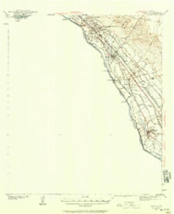
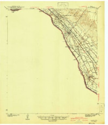
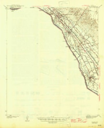
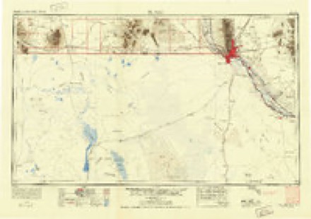
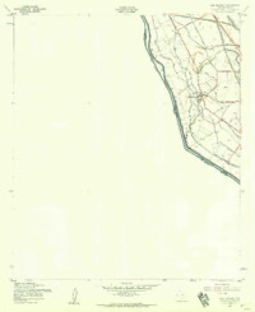
18 topographic sheets cover this place, the earliest surveyed in 1896 and the latest in 1983. It stands in the El Paso East census division. It lies in ZIP code area 79849. The Survey maps it on the San Elizario quadrangle.
On record in San Elizario
Buildings and businesses the archive holds for this place. Each opens its own page, with the source record it came from.
On the National Register 2 records
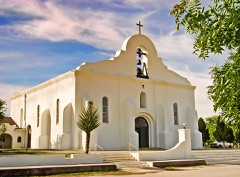 Presidio Chapel of San Elizariolisted 1972
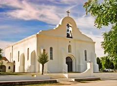 San Elizario Historic Districtlisted 1997
Topographic sheets covering this place
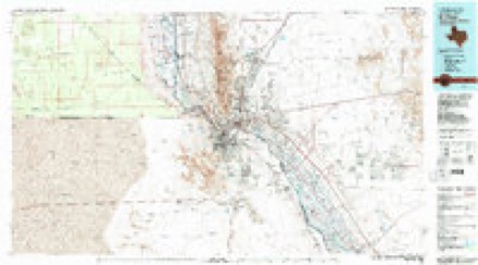
11 surveys from 18 printed sheetsMatched by testing this settlement's coordinate against the published boundary of every sheet in the United States Geological Survey's historical collection. Each opens the scanned sheet at the Survey.
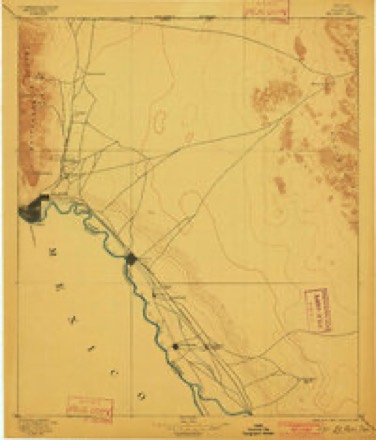
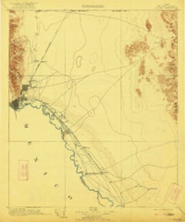
- 1896 USGS El Paso quadrangle1:125000, 2 printings
- 1908 USGS El Paso quadrangle1:125000, 2 printings
- 1939 USGS Ysleta quadrangle1:62500
- 1941 USGS Ysleta quadrangle1:62500
- 1945 USGS Ysleta quadrangle1:62500
- 1953 USGS El Paso quadrangle1:250000
- 1955 USGS San Elizario quadrangle1:24000, 4 printings
- 1959 USGS El Paso quadrangle1:250000, 2 printings
- 1964 USGS El Paso quadrangle1:250000
- 1965 USGS El Paso quadrangle1:250000
- 1983 USGS El Paso quadrangle1:100000, 2 printings
Storms near this place
2 since 2013Regional context, not property-specific evidence. The National Weather Service names San Elizario in 2 storm reports between 2013 and 2014: 1 thunderstorm wind, 1 flash flood. No death or injury is recorded in these reports. Each account below is quoted exactly as the forecast office filed it, from the NOAA Storm Events Database, and each date opens the federal record of that event.
| When | Event | Place named | Harm | What the report says |
|---|---|---|---|---|
| June 2013 | Thunderstorm Wind | San Elizario | $3,000 | Radio operators reported wind damage to several trees near San Elizario High School. |
| September 2014 | Flash Flood | San Elizario | - | Interstate 10 near Piedras continued to be closed through this time period. Several portions of Gateway Drive both east and west were closed due to mud and rock slides caused by the heavy rain. Numerous water rescues were reported with the worst location in east El Paso near the intersection of Fierro and Bywood where 2 people were pulled to safety. ||Cars were stalled at North Mesa Street near the University of El Paso. Other areas where cars were stalled included the intersections of Cotton and Missouri as well as Gold Avenue and Elm Street. ||Several other major intersections in El Paso were closed by 1030pm including Montwood and Wedgewood, McRae and Gateway East, Montana and Piedras, Yarbrough and Montwood, and Hawkins and North Loop. ||Trans Mountain Road was closed due to flooding, heavy rain and poor visibility. |
Nearest settlements
The eight closest, with where each one stands in the county. Distances are straight-line, computed from the Geographic Names Information System coordinates.
| Map | Place | Distance | Sheets |
|---|---|---|---|
| Plaza Bernal Colonia | 0.2 miles | 18 | |
| Alvarez Colonia | 0.3 miles | 18 | |
| Madrilena Colonia | 0.4 miles | 18 | |
| Frank-Anita Estates Colonia | 0.4 miles | 18 | |
| Colonia de las Azaleas Number 3 | 0.5 miles | 18 | |
| Wilbourn Addition Colonia | 0.5 miles | 18 | |
| Colonia de las Dalias | 0.5 miles | 18 | |
| Las Aves Colonia | 0.6 miles | 18 |
Provenance
This settlement is recorded in the Geographic Names Information System as feature 1367493. The sheet list is computed by point-in-boundary test against the United States Geological Survey's historical topographic inventory. Both are works of the United States government and carry no copyright under 17 U.S.C. 105.
Storms. NOAA National Centers for Environmental Information, Storm Events Database https://www.ncei.noaa.gov/stormevents/ A work of the United States government, no copyright under 17 U.S.C. 105. Narratives are quoted verbatim from the National Weather Service report and are not edited or summarised.