 Block
BlockSmeltertown, Texas
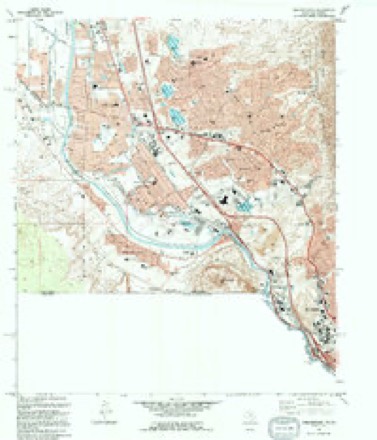
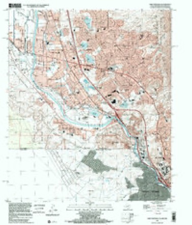
18 topographic sheets cover this place, the earliest surveyed in 1917 and the latest in 1996. It stands in the El Paso census division. It lies in ZIP code area 79922. The Survey maps it on the Smeltertown quadrangle.
Topographic sheets covering this place
10 surveys from 18 printed sheetsMatched by testing this settlement's coordinate against the published boundary of every sheet in the United States Geological Survey's historical collection. Each opens the scanned sheet at the Survey.
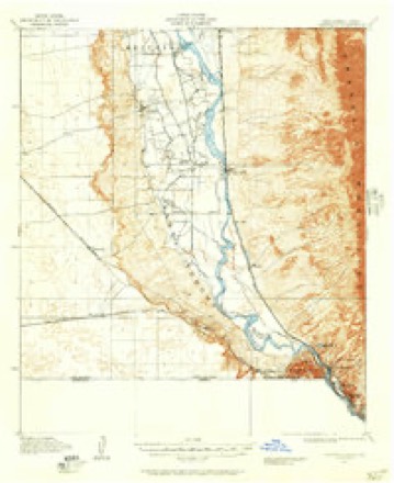
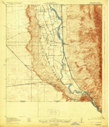
- 1917 USGS Canutillo quadrangle1:62500
- 1919 USGS Canutillo quadrangle1:62500, 3 printings
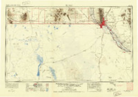
- 1953 USGS El Paso quadrangle1:250000
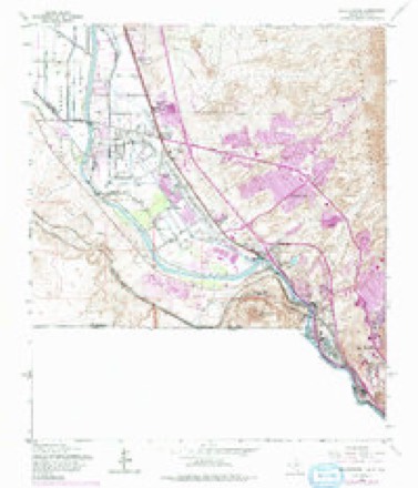
- 1955 USGS Smeltertown quadrangle1:24000, 5 printings
- 1959 USGS El Paso quadrangle1:250000, 2 printings
- 1964 USGS El Paso quadrangle1:250000
- 1965 USGS El Paso quadrangle1:250000
- 1983 USGS El Paso quadrangle1:100000, 2 printings
- 1994 USGS Smeltertown quadrangle1:24000
- 1996 USGS Smeltertown quadrangle1:24000
Fires near this place
1 since 2000Regional context, not property-specific evidence. The federal wildfire occurrence database lists 1 fire within 5 miles of Smeltertown in 2000, burning under an acre in total. None started naturally. None was recorded as arson. Distance is straight-line from the map coordinates, so a fire counted here may appear on a neighbouring settlement's page as well.
| Reported cause | Fires |
|---|---|
| Smoking | 1 |
The most recent of them, most recent first, with the day each was reported and the service that recorded it.
| Date | Cause | Size | Reported by | Name on the report |
|---|---|---|---|---|
| 13 January 2000 | Smoking | under an acre | Chamizal National Monument | BERMUDA |
Settlements close enough to share some of these fires:
Mines and quarries near this place
10 of 12 shownRegional context, not property-specific evidence. The federal mineral resources record lists 12 workings within 5 miles of Smeltertown: 10 producers, 2 plants. All of them still produce. What was taken out: Stone, Crushed/Broken, Sand and Gravel, Construction, Copper, Sulfur, Sulfuric Acid. Distance is straight-line from the map coordinates, so a quarry counted here may appear on a neighbouring settlement's page as well.
| Where | Site | Commodity | Status | Recorded |
|---|---|---|---|---|
| (Facility) El Paso Copper Smelter | Copper, Sulfur, Sulfuric Acid | Plant | ||
| (Facility) El Paso Lead Smelter | Lead, Smelter, Cadmium, Sulfur, Sulfuric Acid, Zinc | Plant | ||
| Eagle Mine and Mill | Clay, Limestone, General | Producer | ||
| El Paso Quarry & Plant | Silica | Producer | ||
| El Paso Sulfur Plant | Sulfur | Producer | ||
| International Hortense Mill Mine | Clay | Producer | Sedimentary | |
| Edgar Park Pit | Sand and Gravel, Construction | Producer | Gravel, Sand | |
| Vowell Construction Company Pit | Sand and Gravel, Construction | Producer | ||
| Courchesne Quarry | Stone, Crushed/Broken | Producer | ||
| McKelligon Canyon Quarry | Stone, Crushed/Broken | Producer |
Storms near this place
19 since 2010Regional context, not property-specific evidence. The National Weather Service names Smeltertown in 19 storm reports between 2010 and 2025: 9 hail, 8 flash flood, 2 thunderstorm wind. No death or injury is recorded in these reports. Each account below is quoted exactly as the forecast office filed it, from the NOAA Storm Events Database, and each date opens the federal record of that event.
| When | Event | Place named | Harm | What the report says |
|---|---|---|---|---|
| August 2019 | Hail | Smeltertown | $25,000 | Spotter reported dents to cars, windshields and house windows around the area of Buckley and North Stanton Streets. |
| August 2019 | Hail | Smeltertown | $25,000 | Golf ball sized hail broke windshield around the UTEP area. |
| July 2021 | Flash Flood | Smeltertown | $10,000 | Gateway South near Fred Wilson became impassable with a car stranded in the flood waters. Ellerthorpe and US 54 was also closed due to flooding. The heavy rain created a rock slide that caused McKelligon Canyon Road to be blocked with 100 people stranded at an outdoor concert in the area. A video of a home with several inches of water causing damage inside was also obtained via social media in the same general area. |
| August 2025 | Flash Flood | Smeltertown | - | Flash flooding was reported by the Emergency Manager which shut down Interstate 10, Executive and Paisano as well as water rescues being needed at Mesa and Mesita. A nearby Mesonet site recorded 1.8 inches in one hour. |
| July 2025 | Flash Flood | Smeltertown | - | Roads were closed around downtown El Paso near Wyoming and Kansas over to Interstate 10 near Piedras. Roads were impassable at some places. Flash flooding also caused several walls to collapse further north near US 54 and Fort Blvd. An apartment building in the area southwest of Fort Bliss also received flooding inside. |
| August 2024 | Flash Flood | Smeltertown | - | Flash flooding was reported by TXDOT along Interstate 10 West near Cotton. Gateway West was also impassable and both roads were closed. |
| September 2023 | Flash Flood | Smeltertown | - | Extensive water in flood prone areas from near Executive and Paisano Drive to Porfirio Diaz into downtown El Paso. Several stalled vehicles and water running across highways. |
| August 2022 | Flash Flood | Smeltertown | - | A public report was received of flash flooding at Mesa and Brentwood. |
| August 2019 | Hail | Smeltertown | - | Golf ball sized hail at Southwest University Park area. |
| August 2017 | Flash Flood | Smeltertown | - | Two vehicles were stranded in high water at intersection of Mesa and Sun Bowl Drive. In addition, Interstate 10 eastbound at Porfirio Diaz had 3 of 4 lanes closed down due to flooding. |
| November 2016 | Hail | Smeltertown | - | Hail covered the ground. |
| October 2015 | Hail | Smeltertown | - | Penny size hail at Redd Rd and Resler. |
| April 2014 | Hail | Smeltertown | - | Hail covered ground. Penny sized, but mostly smaller hail. |
| April 2014 | Hail | Smeltertown | - | Public sent picture of hail covering ground at Executive and Rio Bravo. |
| June 2012 | Thunderstorm Wind | Smeltertown | - | A spotter on the south side of the Franklin Mountains recorded a peak gust of 67 mph. |
| September 2010 | Flash Flood | Smeltertown | - | Rainfall total of 1.32 inches reported at the University of Texas-El Paso Centennial Museum in an hour and a half. Flash flooding was reported on the campus by a university professor. |
| August 2019 | Hail | Smeltertown | - | no account filed |
| August 2017 | Thunderstorm Wind | Smeltertown | - | no account filed |
| October 2015 | Hail | Smeltertown | - | no account filed |
Nearest settlements
The eight closest, with where each one stands in the county. Distances are straight-line, computed from the Geographic Names Information System coordinates.
| Map | Place | Distance | Sheets |
|---|---|---|---|
| La Guna | 0.5 miles | 18 | |
| Courchesne | 0.8 miles | 18 | |
| Mission Hills | 1.7 miles | 21 | |
| Buena Vista | 1.9 miles | 18 | |
| El Paso | 2.7 miles | 21 | |
| Coronado Hills | 3.1 miles | 18 | |
| Montoya | 5.5 miles | 18 | |
| Planeport | 5.7 miles | 21 |
Provenance
This settlement is recorded in the Geographic Names Information System as feature 1368453. The sheet list is computed by point-in-boundary test against the United States Geological Survey's historical topographic inventory. Both are works of the United States government and carry no copyright under 17 U.S.C. 105.
Wildfire. Short, Karen C. 2022. Spatial wildfire occurrence data for the United States, 1992-2020 [FPA_FOD_20221014]. 6th Edition. Fort Collins, CO: Forest Service Research Data Archive. https://doi.org/10.2737/RDS-2013-0009.6 Collected with United States Government funding and usable without additional permissions or fees.
Mines and quarries. USGS Mineral Resources Data System (MRDS) https://mrdata.usgs.gov/mrds/ A work of the United States government, no copyright under 17 U.S.C. 105.
Storms. NOAA National Centers for Environmental Information, Storm Events Database https://www.ncei.noaa.gov/stormevents/ A work of the United States government, no copyright under 17 U.S.C. 105. Narratives are quoted verbatim from the National Weather Service report and are not edited or summarised.