 Block
BlockSpring Branch, Texas
14 topographic sheets cover this place, the earliest surveyed in 1920 and the latest in 1992. It stands in the Canyon Lake census division. It lies in ZIP code area 78070. It stands on Spring Branch. The Survey maps it on the Spring Branch quadrangle. 206 people lived here at the 2020 count. It stands 1,115 feet above sea level.
On record in Spring Branch
Buildings and businesses the archive holds for this place. Each opens its own page, with the source record it came from.
On the National Register 3 records
- Anhalt Halllisted 2018
- Honey Creek Historic Districtlisted 2018
- Kabelmacher Houselisted 2019
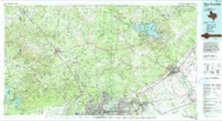
Topographic sheets covering this place
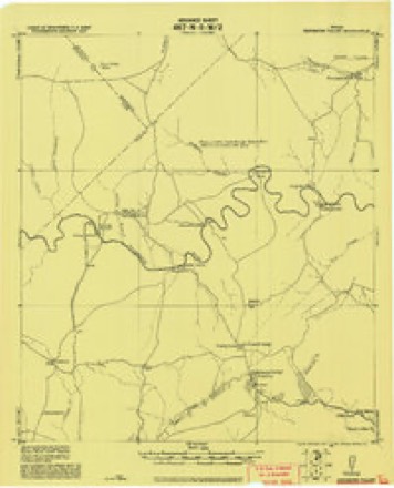
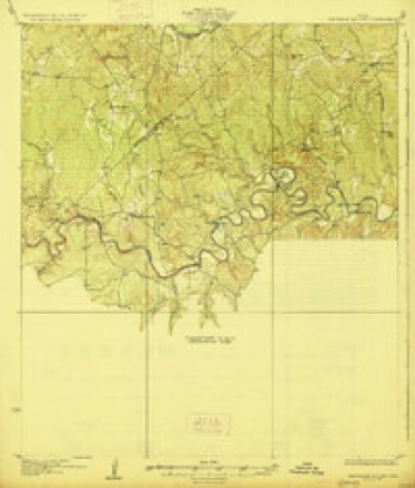
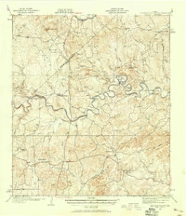
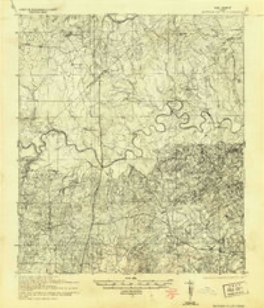
9 surveys from 14 printed sheetsMatched by testing this settlement's coordinate against the published boundary of every sheet in the United States Geological Survey's historical collection. Each opens the scanned sheet at the Survey.
- 1920 USGS Smithsons Valley quadrangle1:62500
- 1927 USGS Smithson Valley quadrangle1:62500
- 1929 USGS Smithson Valley quadrangle1:62500
- 1940 USGS Smithson Valley quadrangle1:62500, 2 printings
- 1954 USGS San Antonio quadrangle1:250000, 3 printings
- 1957 USGS San Antonio quadrangle1:250000
- 1964 USGS Spring Branch quadrangle1:24000, 2 printings
- 1985 USGS New Braunfels quadrangle1:100000
- 1992 USGS New Braunfels quadrangle1:100000, 2 printings
Fires near this place
40 since 2005Regional context, not property-specific evidence. The federal wildfire occurrence database lists 40 fires within 5 miles of Spring Branch between 2005 and 2015, burning about 244 acres in total. 1 started naturally. None was recorded as arson. Distance is straight-line from the map coordinates, so a fire counted here may appear on a neighbouring settlement's page as well.
| Reported cause | Fires |
|---|---|
| Missing data/not specified/undetermined | 17 |
| Debris and open burning | 15 |
| Equipment and vehicle use | 5 |
| Natural | 1 |
| Power generation/transmission/distribution | 1 |
| Misuse of fire by a minor | 1 |
The most recent of them, most recent first, with the day each was reported and the service that recorded it.
| Date | Cause | Size | Reported by | Name on the report |
|---|---|---|---|---|
| 26 September 2013 | Natural | 105 acres | Texas A & M Forest Service | ACKER FIRE |
| 26 September 2006 | Debris and open burning | 1.0 acres | Texas A & M Forest Service | not named |
| 15 September 2009 | Debris and open burning | under an acre | Texas A & M Forest Service | 09-0091695 |
| 8 August 2009 | Equipment and vehicle use | under an acre | Texas A & M Forest Service | 09-0080897 |
| 27 August 2009 | Equipment and vehicle use | 1.0 acres | Texas A & M Forest Service | RAMBLE RIDGE FIRE |
| 18 August 2010 | Debris and open burning | under an acre | Texas A & M Forest Service | 10-0081899 |
| 18 August 2010 | Missing data/not specified/undetermined | 1.0 acres | Texas A & M Forest Service | 10-0081936 |
| 30 July 2006 | Equipment and vehicle use | 10 acres | Texas A & M Forest Service | ACKER |
Settlements close enough to share some of these fires:
Mines and quarries near this place
1 within 5 milesRegional context, not property-specific evidence. The federal mineral resources record lists 1 working within 5 miles of Spring Branch: 1 producer. All of them still produce. What was taken out: Stone, Crushed/Broken. Distance is straight-line from the map coordinates, so a quarry counted here may appear on a neighbouring settlement's page as well.
| Where | Site | Commodity | Status | Recorded |
|---|---|---|---|---|
| Transit Rock Crusher No. 2 | Stone, Crushed/Broken | Producer |
Storms near this place
28 since 1993Regional context, not property-specific evidence. The National Weather Service names Spring Branch in 28 storm reports between 1993 and 2025: 12 hail, 12 flash flood, 2 thunderstorm wind, 1 funnel cloud. The reports record 1 death. Each account below is quoted exactly as the forecast office filed it, from the NOAA Storm Events Database, and each date opens the federal record of that event.
| When | Event | Place named | Harm | What the report says |
|---|---|---|---|---|
| October 2015 | Flash Flood | Spring Branch | 1 killed | A man drowned after his Nissan Sentra was swept off the road into Rebecca Creek near Spring Branch. The man went missing after he left for work around 7 am. He went missing around the 1700 block of Knoll Schwope. |
| August 2007 | Flash Flood | Spring Branch | $100,000 | Extremely heavy rainfall associated with Erin spread into the western sections of Comal County in the evening period. General rain amounts of 3 to 4 inches were reported along and west of US281, with up to 7 inches falling near Spring Branch. Flash flooding was reported in the western part of the county, closing SH46 and FM311. |
| October 2025 | Tornado (EF1) | Spring Branch | - | A tornado touched down in Kendall County approximately four miles southwest of Kendalia traveled 9.8 miles to the east crossed into Blanco County approximately a quarter of a mile west-northwest of the intersection of Hwy 281 and FM 306 continued east a quarter of a mile to the Comal County line a tenth of mile northwest of the Hwy 281/FM 306 intersection and continued another 10.2 miles east before dissipating after crossing FM 306 near Hancock Rd. Shortly after entering Comal County, it crossed the intersection of Hwy 281 and FM 306 and knocked down five electrical poles and one light pole near a gas station at the intersection. This damage was rated EF-1 (wind speed up to 110 mph). The tornado continued east-southeastward into portions of the Indian Hill subdivision causing sporadic tree, fence, and shingle damage and then east, paralleling FM 306. The tornado crossed Tanglewood Trail, impacting several blocks with concentrated tree damage and shingle damage. Damage through this area was estimated at EF-1 (90 mph). The tornado continued east, through northern areas of Mystic Shores, weakening and producing sporadic tree damage. Farther east, the tornado crossed FM 306 near Hancock Rd. and dissipated shortly thereafter. In Kendall County it produced EF-0 damage. The path width was 300 yards. |
| July 2025 | Flash Flood | Spring Branch | - | Slow-moving thunderstorms moved across Comal County between 8 AM and 11 AM producing 2-6 inches of rain with the highest totals occurring along the Guadalupe River below Canyon Lake. Evacuations on River Road along the Guadalupe River began by 10 AM. At least two unoccupied RVs along River Road were swept into the river. At least a dozen low water crossings were closed west of New Braunfels, with at least three water rescues occurring in that area. On the north side of Canyon Lake, one home flooded with about 10 inches of water due to poor drainage and runoff. |
| April 2024 | Hail | Spring Branch | - | A thunderstorm produced quarter size hail in Spring Branch. |
| August 2021 | Flash Flood | Spring Branch | - | Thunderstorms produced heavy rain that led to flash flooding. Spring Branch Rd. at Rittimann Rd. was flooded by the Spring Branch. |
| August 2021 | Flash Flood | Spring Branch | - | Thunderstorms produced heavy rain that led to flash flooding. Cypress Cove Rd. was flooded by Rebecca Creek northeast of Spring Branch. |
| October 2021 | Flash Flood | Spring Branch | - | Thunderstorms produced heavy rain that led to flash flooding. Low water crossings along Swine and Ahern Creeks near Spring Branch. Rainfall totals in Spring Branch were 6.50 inches. |
| May 2017 | Thunderstorm Wind | Spring Branch | - | A thunderstorm produced wind gusts estimated at 70 mph that blew down some four to five inch diameter tree limbs. |
| April 2016 | Thunderstorm Wind | Spring Branch | - | A thunderstorm produced wind gusts estimated at 60 mph. |
| May 2015 | Flash Flood | Spring Branch | - | Highway 281 was closed at the River Crossing Boulevard intersection due to several inches of water reportedly over the roadway. Also, flooding of a low water crossing on Rolling Creek Road was closed due to high water on the opposite side of the highway. |
| May 2015 | Flash Flood | Spring Branch | - | Thunderstorms produced heavy rain that caused flash flooding. There was 1.2 feet of water over Rolling Creek Rd. at Fawn Ln. and several other roads closed around the county. |
| May 2015 | Flash Flood | Spring Branch | - | Thunderstorms produced heavy rain that caused flash flooding requiring water rescues in the Bulverde and Spring Branch areas. |
| May 2013 | Hail | Spring Branch | - | A thunderstorm produced hail the largest of which was two inches in diameter, but was mostly pea size. |
| May 2013 | Flash Flood | Spring Branch | - | Thunderstorms produced heavy rain that caused flash flooding. Rainfall totals reported by CoCoRAHS observers were up to 8.93 inches. This rain flooded several roads in western and central Comal County. There was also one water rescue. |
| February 2009 | Hail | Spring Branch | - | A storm chaser reported hail ranging from marble to ping pong size near Spring Branch. |
| July 2007 | Flash Flood | Spring Branch | - | Thunderstorms produced from 2 to 3 inches of rain over Comal County, with highest totals near 5 inches just east of Spring Branch. FM311, FM3159, and FM2722 were closed due to flash flooding. |
| July 2007 | Flash Flood | Spring Branch | - | Thunderstorms produced 2 to 3 inches of rain near midnight over southern Comal County, closing FM311 and FM1863 due to high water. |
| March 1993 | Hail | Spring Branch | - | A co-op observer reported dime-size hail south of Spring Branch. |
| April 2016 | Hail | Spring Branch | - | no account filed |
| April 2016 | Hail | Spring Branch | - | no account filed |
| April 2016 | Hail | Spring Branch | - | no account filed |
| March 2007 | Funnel Cloud | Spring Branch | - | no account filed |
| November 2006 | Hail | Spring Branch | - | no account filed |
| March 2001 | Hail | Spring Branch | - | no account filed |
| June 1998 | Hail | Spring Branch | - | no account filed |
| April 1997 | Hail | Spring Branch | - | no account filed |
| March 1997 | Hail | Spring Branch | - | no account filed |
Nearest settlements
The eight closest, with where each one stands in the county. Distances are straight-line, computed from the Geographic Names Information System coordinates.
| Map | Place | Distance | Sheets |
|---|---|---|---|
| Smithson Valley | 7.1 miles | 15 | |
| Honey Creek | 7.1 miles | 10 | |
| Anhalt | 7.1 miles | 15 | |
| Oak Cliff Acres | 7.4 miles | 10 | |
| Canyon Springs | 7.4 miles | 15 | |
| Cranes Mill | 7.5 miles | 17 | |
| Westhaven | 8.0 miles | 15 | |
| Startzville | 8.6 miles | 15 |
Elsewhere
Matched on this settlement's Geographic Names Information System number rather than its name, so it cannot be a different place of the same name in another state.
| Wikipedia article on Spring Branch | An encyclopaedic summary. Its text is share-alike, so it is linked here rather than copied. |
| Wikidata item Q7580394 | The structured record the population and elevation above come from. Public domain (CC0). |
Provenance
This settlement is recorded in the Geographic Names Information System as feature 1380926. The sheet list is computed by point-in-boundary test against the United States Geological Survey's historical topographic inventory. Both are works of the United States government and carry no copyright under 17 U.S.C. 105.
Wildfire. Short, Karen C. 2022. Spatial wildfire occurrence data for the United States, 1992-2020 [FPA_FOD_20221014]. 6th Edition. Fort Collins, CO: Forest Service Research Data Archive. https://doi.org/10.2737/RDS-2013-0009.6 Collected with United States Government funding and usable without additional permissions or fees.
Mines and quarries. USGS Mineral Resources Data System (MRDS) https://mrdata.usgs.gov/mrds/ A work of the United States government, no copyright under 17 U.S.C. 105.
Storms. NOAA National Centers for Environmental Information, Storm Events Database https://www.ncei.noaa.gov/stormevents/ A work of the United States government, no copyright under 17 U.S.C. 105. Narratives are quoted verbatim from the National Weather Service report and are not edited or summarised.