 Block
BlockFrom the record
30 National Register listings published here.
Sources: the National Register database, National Park Service
63 topographic sheets cover 41 settlements here, and 30 properties are on the National Register of Historic Places.
30 National Register listings published here.
Sources: the National Register database, National Park Service
Every property in this county listed on the National Register of Historic Places, with the year it was listed and the federal nomination document.
| Photograph | Property | Type | Listed | Reference |
|---|---|---|---|---|
| Anhalt Hall | building | 2018 | 100002697 | |
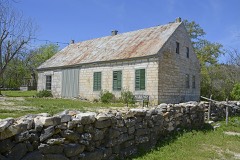 | Arnold-Rauch-Brandt Homestead | district | 2018 | 100002698 |
 | Brauntex Theater | building | 2008 | 08000240 |
 | Andreas Breustedt House | building | 1982 | 82004497 |
 | Central Fire Station | building | 2019 | 100004753 |
| Central New Braunfels Historic District | district | 2026 | 100012669 | |
 | Comal County Courthouse | building | 1976 | 76002017 |
 | Comal Hotel and Klein-Kuse House | building | 1986 | 86001373 |
 | Comal Power Plant | district | 2004 | 04000895 |
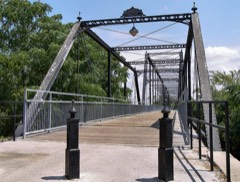 | Faust Street Bridge | structure | 2009 | 09000138 |
| Faust-Frueholz House and Medical Building | building | 2024 | 100010760 | |
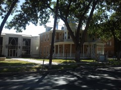 | First Protestant Church | building | 1971 | 71000926 |
 | Fischer Historic District | district | 2017 | 100001222 |
 | Carl W.A. Groos House | building | 2000 | 00000884 |
 | Gruene Historic District | district | 1975 | 75001962 |
 | Guadalupe Hotel | building | 1975 | 75001963 |
 | Holz-Forshage-Krueger Building | building | 1997 | 97000362 |
| Honey Creek Historic District | district | 2018 | 100002267 | |
 | Hotel Faust | building | 1985 | 85000922 |
| Kabelmacher House | building | 2019 | 100003922 | |
| Kappelmann-Mayer Ranch | district | 2020 | 100004965 | |
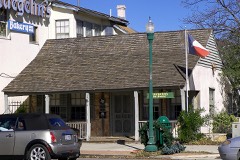 | Stephen Klein House | building | 1970 | 70000743 |
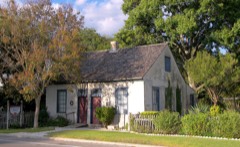 | Lindheimer House | building | 1970 | 70000744 |
| Main Plaza | district | 2021 | 100007074 | |
| Mission Valley School and Teacherage | district | 2020 | 100005536 | |
| Pape-Borchers Homestead | district | 2020 | 100005537 | |
 | Riley's Tavern | building | 2018 | 100002346 |
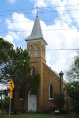 | Saint Joseph's Chapel | building | 2014 | 14000472 |
| Walzem Homestead | district | 2018 | 100002086 |
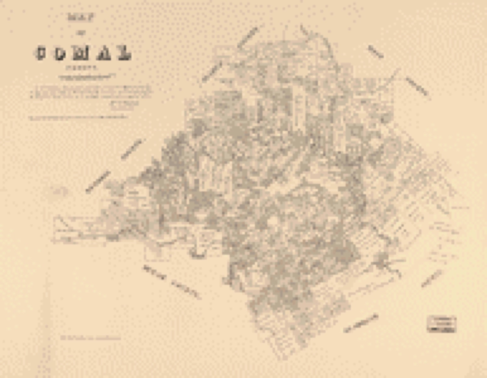
Drawn when these were printed as single large sheets: the town seen from the air, and the county divided into its farms with every owner named. Each opens the original at the Library of Congress.

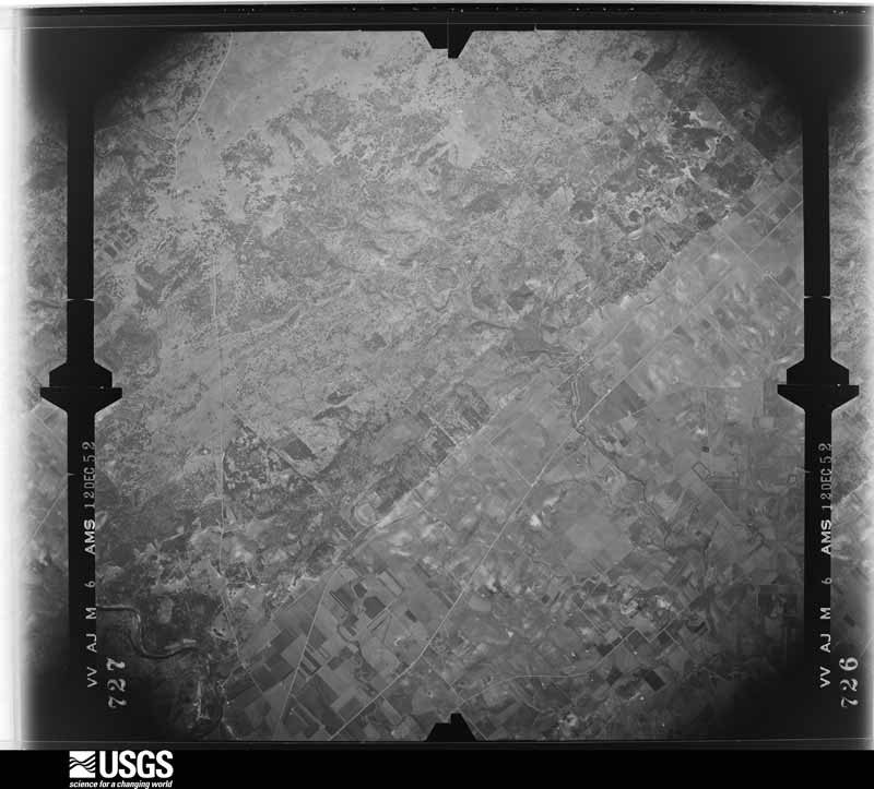
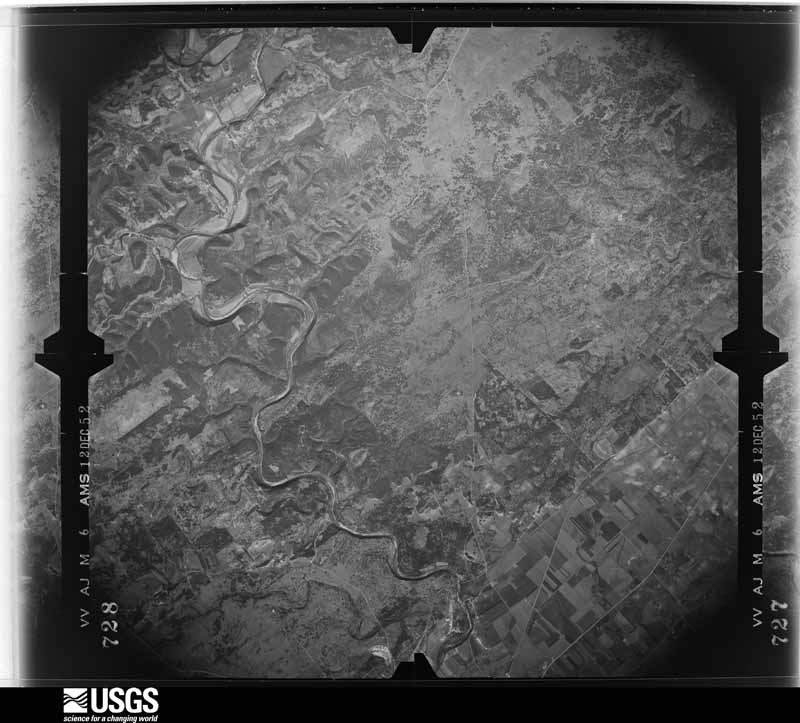
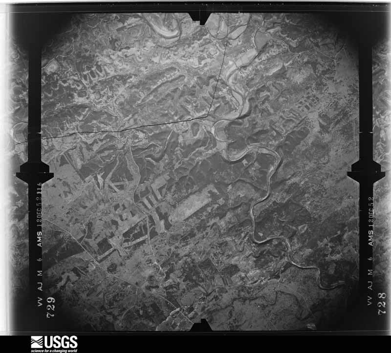
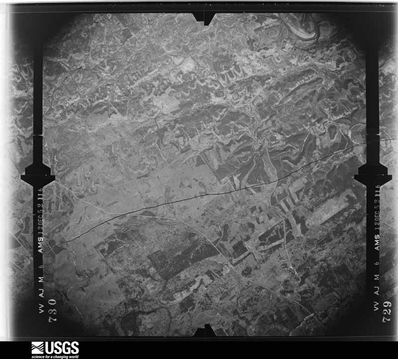
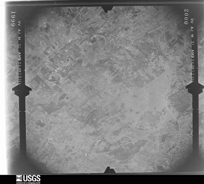
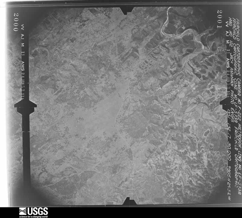
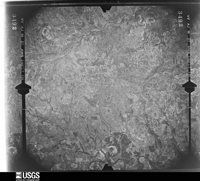
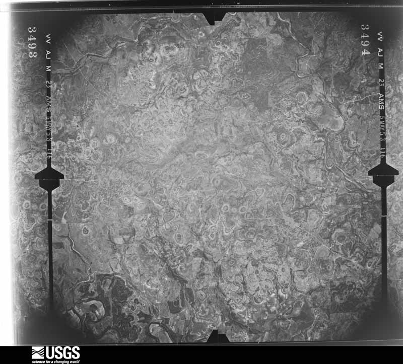
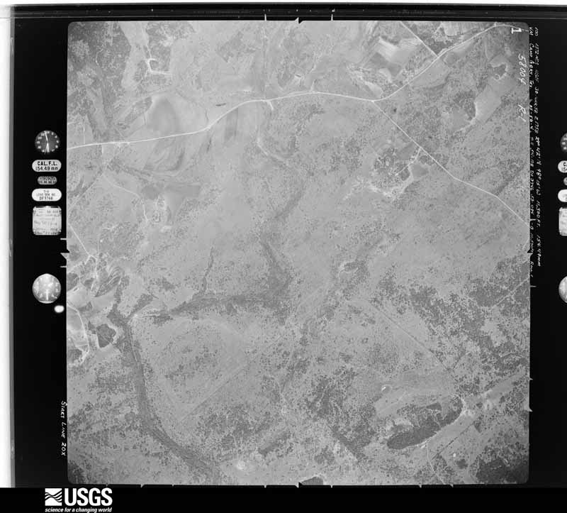
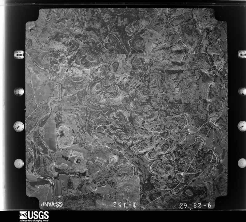
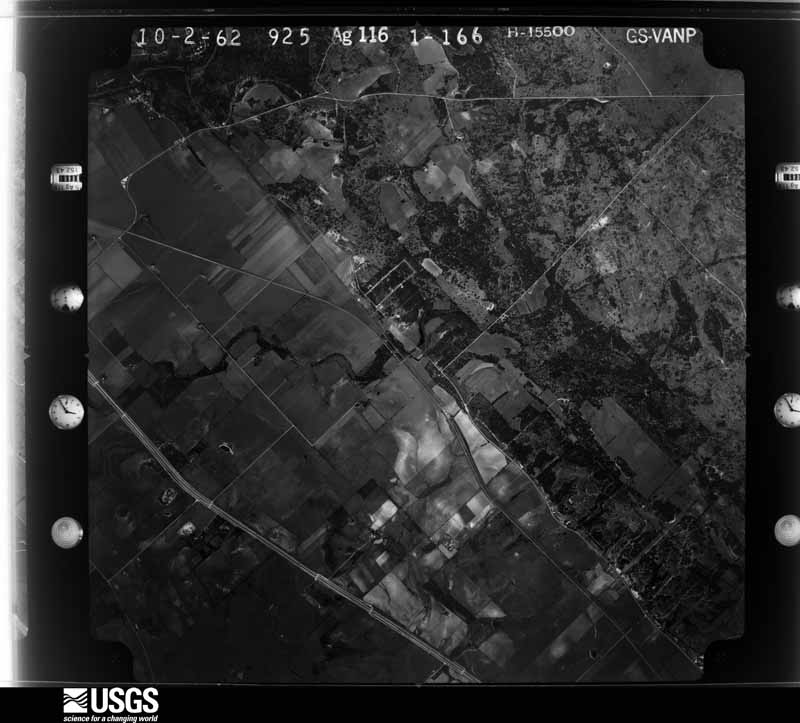
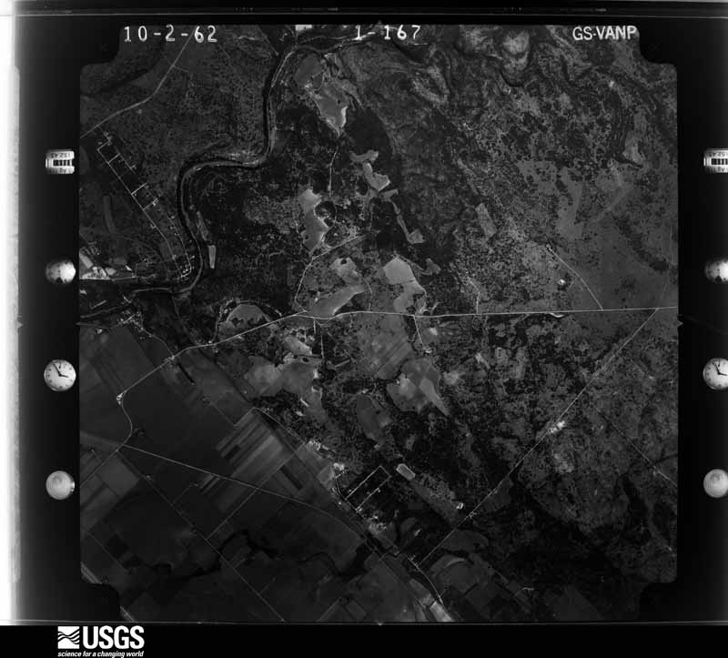
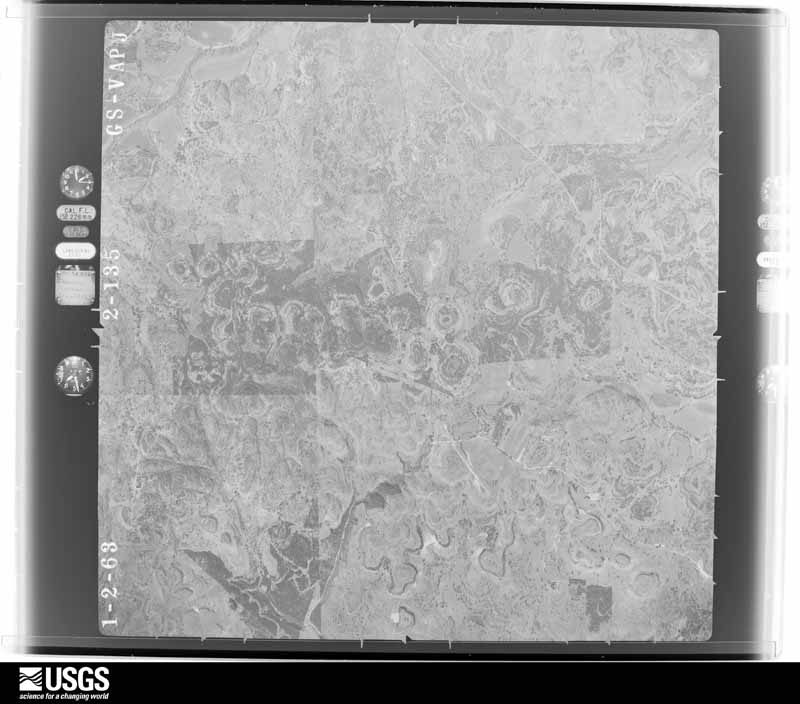
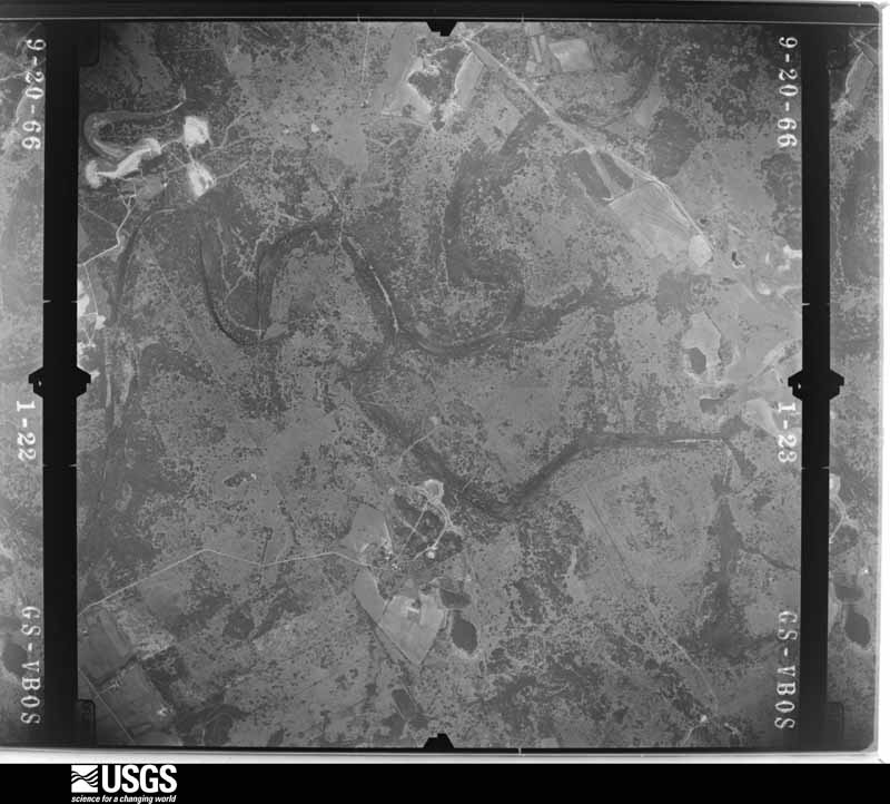
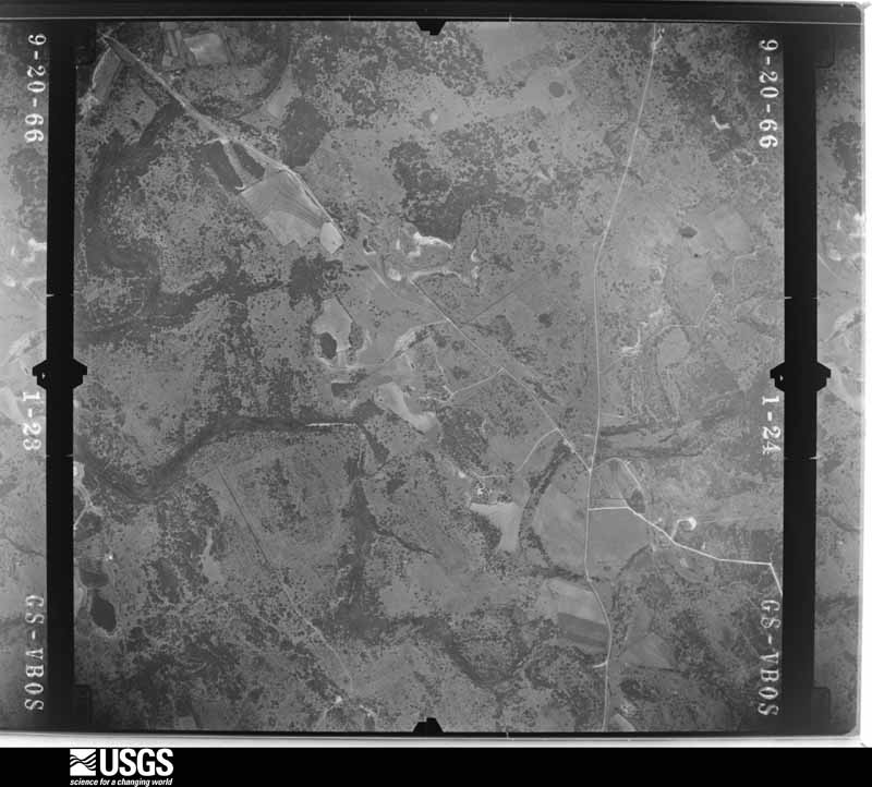
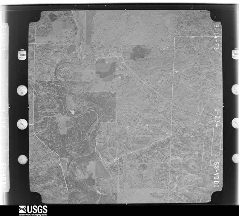
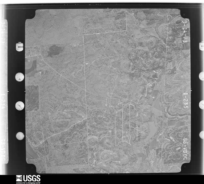
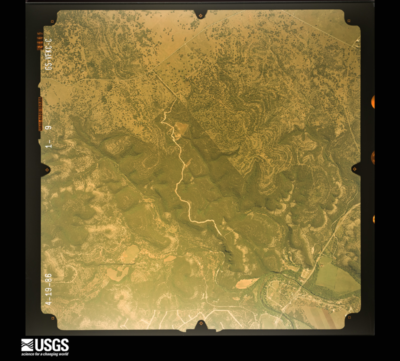
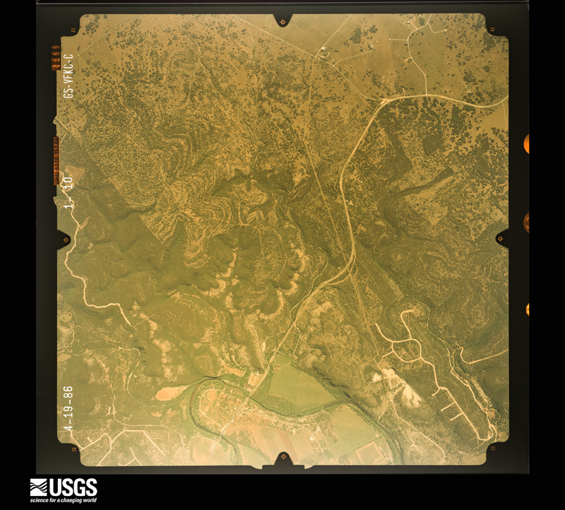
Flown by the U.S. Geological Survey between 1937 and 1989, the Aerial Photo Single Frames collection is the definitive mid-century view of the land: fields, roads and rivers as the camera saw them. The Survey holds 1,559 frames inside the rectangle that bounds this county; the 37 frames below were taken over the county itself, chosen across the decades of flights (at most four a year from that rectangle), so one flight cannot crowd out the rest. The full set is free to browse and download at EarthExplorer under the dataset Aerial Photo Single Frames.
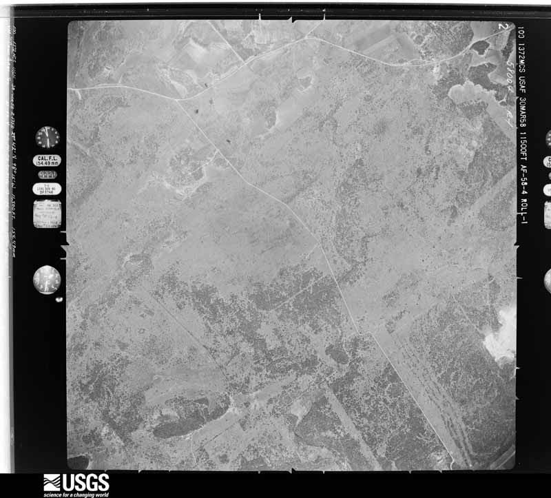
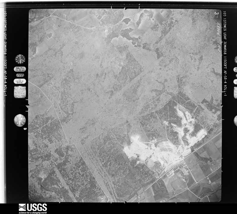
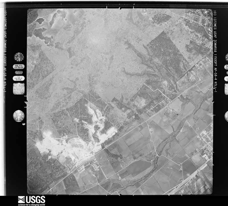
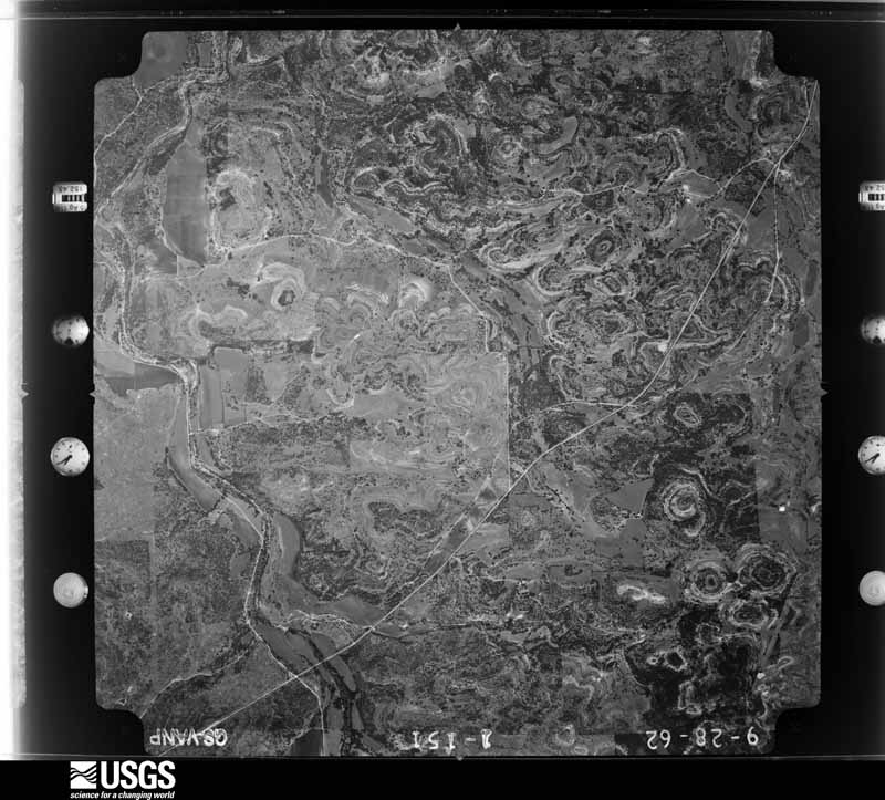
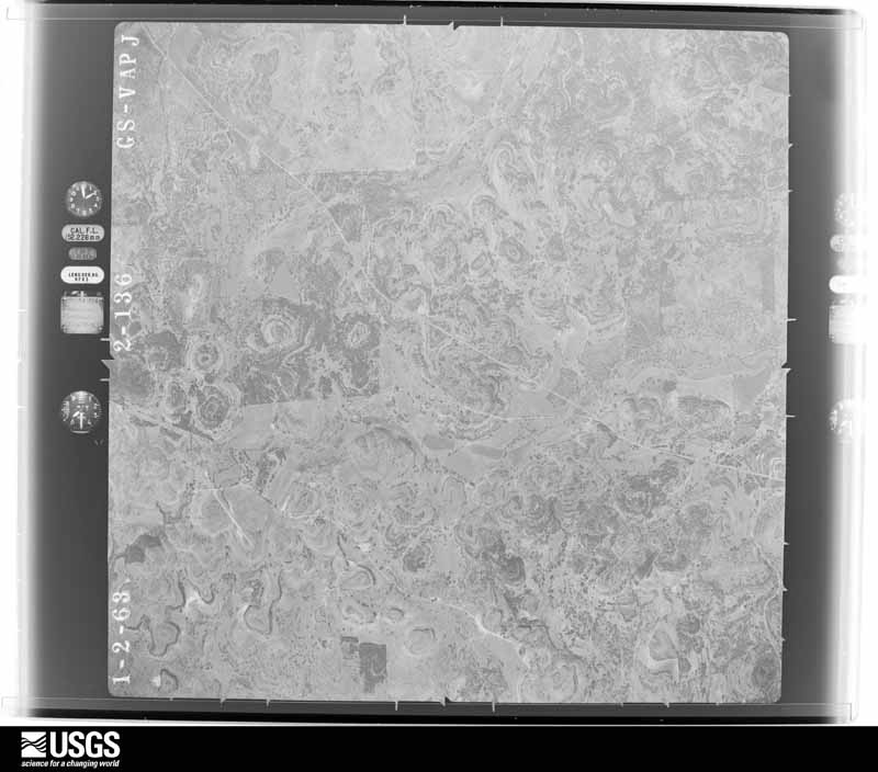
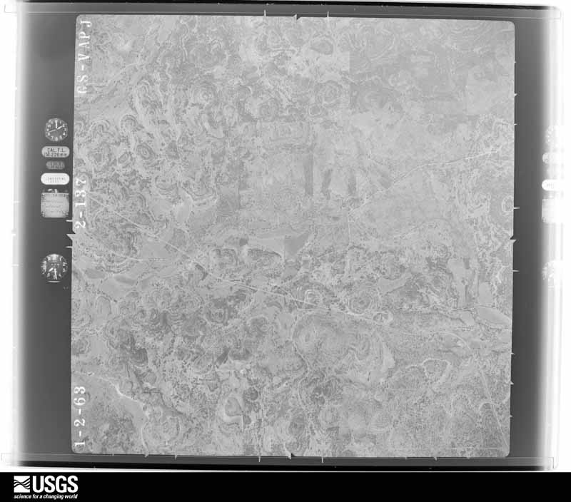

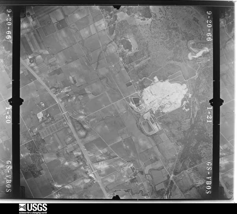
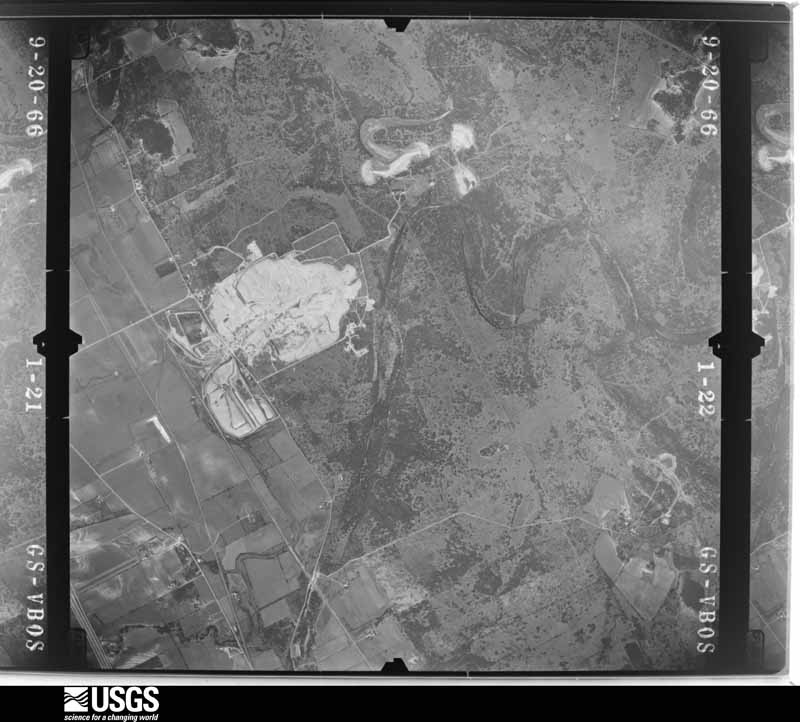




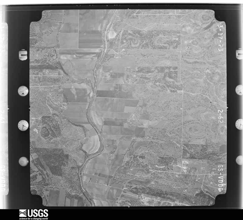
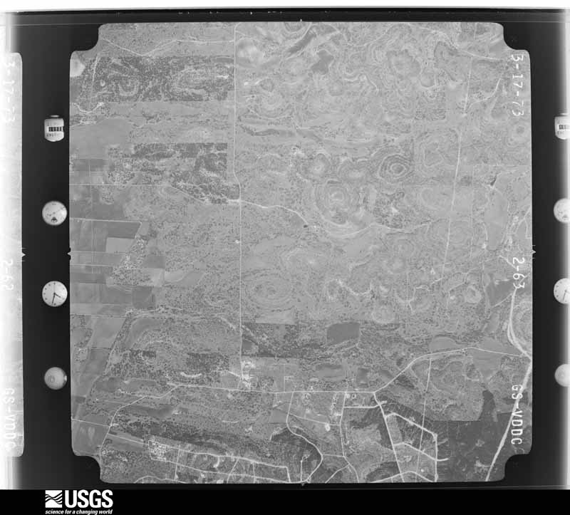
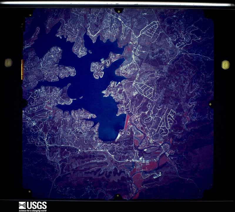

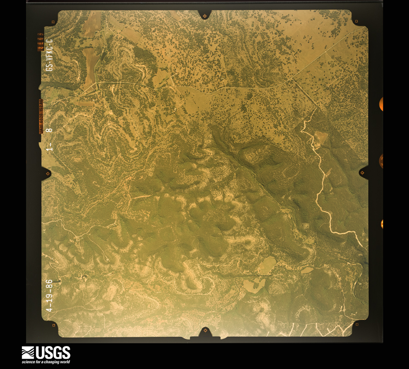
The thermometers that kept this county's weather, and the gages that measured the flow of its streams, as the federal records hold them. The extremes below are measured values from those records, not estimates.
Who lived here in 1950, one enumeration district at a time, as the Census Bureau described each district. Each row opens its official National Archives result, with Population Schedules and ED Maps available there.
Every wildfire the federal occurrence database records inside this county: 516 of them, burning about 4,418 acres. 2 started naturally and 14 were recorded as arson. Each settlement page carries the fires within five miles of it.
| Reported cause | Fires |
|---|---|
| Missing data/not specified/undetermined | 208 |
| Debris and open burning | 168 |
| Equipment and vehicle use | 54 |
| Smoking | 23 |
| Power generation/transmission/distribution | 17 |
| Recreation and ceremony | 15 |
| Arson/incendiarism | 14 |
| Misuse of fire by a minor | 13 |
| Railroad operations and maintenance | 2 |
| Natural | 2 |
The five largest, by the area the report gives. None of them was recorded as arson.
| Date | Cause | Size | Reported by | Name on the report |
|---|---|---|---|---|
| 24 December 2005 | Missing data/not specified/undetermined | 1,500 acres | Texas A & M Forest Service | not named |
| 16 August 2006 | Equipment and vehicle use | 973 acres | Texas A & M Forest Service | PURGATORY |
| 31 January 2008 | Missing data/not specified/undetermined | 300 acres | Texas A & M Forest Service | not named |
| 5 October 2019 | Debris and open burning | 226 acres | Texas A & M Forest Service | PURGATORY |
| 11 January 2009 | Railroad operations and maintenance | 200 acres | Texas A & M Forest Service | GRUENE FIRE |
| 6 September 2009 | Smoking | 110 acres | Texas A & M Forest Service | WATSON LANE |
| 1 January 2006 | Missing data/not specified/undetermined | 95 acres | Texas A & M Forest Service | WEST ZONE SOUTH - 9 |
| 16 May 2006 | Debris and open burning | 50 acres | Texas A & M Forest Service | RIVER ROAD |
Every settlement page carries the fires within five miles of it - see the settlement index below.
The NOAA Storm Events Database holds 414 reports for this county, causing 6 deaths, 829 injuries and about $71,052,000 in recorded property damage. Each settlement page carries the reports that name it.
| Kind of event | Reports |
|---|---|
| Hail | 179 |
| Flash Flood | 135 |
| Thunderstorm Wind | 81 |
| Tornado | 17 |
| Lightning | 1 |
| Funnel Cloud | 1 |
The most serious of them, by death, then injury, then recorded damage. The accounts are quoted exactly as the forecast office filed them.
| When | Event | Place named | Harm | What the report says |
|---|---|---|---|---|
| October 1998 | Flash Flood | Countywide | 2 killed, 800 hurt, $50,000,000 | no account filed |
| June 2010 | Flash Flood | New Braunfels | 1 killed, $10,000,000 | A storm survey along the Guadalupe River from River Road down into the city of New Braunfels showed devastation along the banks of the river. The river rose some 20+ feet in less than 2 hours sweeping campers, cars, trailers, tubes, and other debris down the river toward New Braunfels and Seguin. Campsites downstream of the 3rd River Road crossing where demolished and swept clean due to the power of water. The campsites along the stretch of River Road near Camp Hueco Springs were especially hit hard as Elm creek flooded and brought tremendous water into the Guadalupe. A death occurred at this location as a man was swept downstream. Other campers were rescued down in New Braunfels after being swept miles downstream. Tubing businesses along the Guadalupe suffered major losses along with homes from Gruene down into Seguin. Thirty vehicles and 14 RVs were removed from the River in Comal County. One hundred twenty-one homes and businesses suffered damage. Damage estimate does not include other insured losses. |
| October 2013 | Flash Flood | New Braunfels | 1 killed, $100,000 | Thunderstorms produced heavy rain that led to flash flooding in Comal County. People were evacuated along River Road in New Braunfels, and near Spring Branch, Elm Creek was running 40 to 50 feet wide where it is normally about four feet. The 24 hour rainfall in the River Rd. area ranged from 3.81 to 6.58 inches while in the Spring Branch area there was between 10.40 and 11.75 inches. A man fell into the Guadalupe River near the horseshoe just down from Canyon Dam. The man was trying to retrieve some equipment while the river was quickly rising. The 26 year old drown and his body was recovered a few days later. Portions of River Road just west of New Braunfels became flooded between 1 and 2 am in the morning. |
| October 2015 | Flash Flood | Spring Branch | 1 killed | A man drowned after his Nissan Sentra was swept off the road into Rebecca Creek near Spring Branch. The man went missing after he left for work around 7 am. He went missing around the 1700 block of Knoll Schwope. |
| March 2007 | Flash Flood | Bulverde | 1 killed | From 1 to 2 inches of rain fell across western Comal County, with up to 5 inches from Spring Branch to Fischer. Widespread flash flooding developed and two cars were washed off FM306. Just before 9 pm CST, a woman and her husband were attempting to cross a low area along FM306 when their vehicle stalled in high water and was carried into Rebecca Creek. As the couple attempted to leave the vehicle, the woman was washed away and drowned. Her body was found the following day. |
| June 1997 | Flash Flood | Countywide | 10 hurt, $2,000,000 | no account filed |
| November 2001 | Flash Flood | Countywide | 10 hurt, $80,000 | no account filed |
| May 2004 | Lightning | Sattler | 8 hurt | Eight people were riding tubes down the Guadalupe River when large hail began falling. They exited the river and were trying to avoid the hail by hiding under a tree when lightning struck. The most seriously injured of the group was leaning against the tree trunk. He suffered a heart stoppage but was resuscitated. Another victim was reported to have suffered a spinal injury. All later recovered. |
| May 1987 | Hail | not stated | 1 hurt | no account filed |
| March 1994 | Thunderstorm Wind | New Braunfels | $5,000,000 | no account filed |
| July 2006 | Flash Flood | New Braunfels | $500,000 | Thunderstorms that had formed in the late afternoon over Comal County spread over the area from New Braunfels to Gruene and remained stationary for several hours. Up to 4 inches of rain had fallen in Gruene by 1800CST with as much as 8 inches of rain just west of New Braunfels. Widespread street flooding was reported along with flash flooding that closed East Common Street and River Road through the early evening and most roads in and near New Braunfels toward the end of the event. A short section of IH-35 was even closed due to the high water. For the first time since 1979, the rain caused flooding at the Holiday Inn in New Braunfels, where more than 50 rooms were damaged. A half dozen rescues from vehicles were required. |
| October 2019 | Thunderstorm Wind | Gruene | $300,000 | The roof of a truck stop near I-35 was heavily damaged due to strong winds. |
| April 2023 | Tornado (EF0) | Canyon Res | $250,000 | A National Weather Service storm survey determined that a tornado occurred near the communities of Canyon Lake and Startzville during the late evening hours of April 20. The tornado touched down at 10:40 PM CDT near the Lakeside Golf Club just north of FM 2673. The tornado tracked southeast approximately three miles, damaging and uprooting trees at EF0 intensity along its path. Minor roof damage was noted at |residences along Campbell Dr. and Dorothy Dr. just south of the Lakeside Golf Club. The tornado traveled southeast crossing FM 2673 near the intersection with FM 2722 before lifting at 10:44 PM CDT near the intersection of FM 2772 and JDJ Dr. Peak wind speeds were estimated to be 85 MPH, and the maximum path width was 250 yards. |
| May 2020 | Flash Flood | Smithson Vly | $250,000 | Thunderstorms produced heavy rain that led to flash flooding. The Guadalupe Blanco River Authority rain gauge at Startzville recorded 13.01 inches of rain between 7 am and 1 pm. Several inches of water flooded the Lowes Market in Startzville and several cars in the parking lot were partially submerged. |
| June 2004 | Flash Flood | Countywide | $250,000 | Rainfall of between 1 and 2 across the county, with up to 4 inches in the southern half caused flash flooding that closed SH46 in several places. The flooding washed away 4 recreational vehicles and damaged 5 homes. The recreational vehicles had been parked at a campground under IH35. Damage to the homes was estimated at $250,000. |
| September 1988 | Tornado (F0) | not stated | $250,000 | no account filed |
| September 1967 | Tornado (F3) | not stated | $250,000 | no account filed |
| March 2021 | Tornado (EF1) | Canyon Res | $100,000 | An NWS survey on the west side of Canyon Lake found sporadic tree damage, along with two power poles snapped and approximately 1/4 of a single family home torn off. The damage area was near Canyon Lake Boat Ramp #6 on the south central side of the|lake along and near Canyon Lake Drive and Rimrock Pass. The damage was rated EF-1 and winds were estimated at 100 mph. |
| September 2011 | Thunderstorm Wind | Canyon Res | $100,000 | A thunderstorm produced wind gusts estimated at 58 mph which caused significant wind damage at Cranes Mill Marina on Canyon Lake. |
| August 2007 | Flash Flood | Spring Branch | $100,000 | Extremely heavy rainfall associated with Erin spread into the western sections of Comal County in the evening period. General rain amounts of 3 to 4 inches were reported along and west of US281, with up to 7 inches falling near Spring Branch. Flash flooding was reported in the western part of the county, closing SH46 and FM311. |
| October 2001 | Thunderstorm Wind | New Braunfels | $100,000 | An off-duty NWS employee reported trees blown down with widespread damage to the roofs and windows of homes just west of New Braunfels. |
| March 2000 | Hail | Fischer | $100,000 | The hail was reported to have damaged several homes, with even greater damage to vehicles. |
| November 2000 | Thunderstorm Wind | Schertz | $60,000 | Damage was reported to trees and homes across the southeast sections of Comal County. The downed trees blocked streets and roads. |
| October 2021 | Flash Flood | New Braunfels | $50,000 | Thunderstorms produced heavy rain that led to flash flooding. A couple of trailers at the RV park on the Guadalupe River under I-35 were washed into the river. No one was in the trailers. |
| April 2007 | Thunderstorm Wind | Bulverde | $50,000 | A bow-shaped echo across Comal, Bexar and Wilson Counties began producing severe winds just before midnight that were estimated generally in the 60 to 70 knot range. The storms produced widespread wind gusts of 40 to 50 knots, with spotty higher gusts near 70 knots. Most of the damage was to trees that were knocked over in the southern portion of Comal County. |
| May 2004 | Hail | Sattler | $50,000 | Hail fell over much of the eastern half of Comal County, causing damage to some windows of homes and vehicles |
| August 2003 | Thunderstorm Wind | Canyon Res | $50,000 | A severe thunderstorm produced a downburst that uprooted trees, twisted tops off trees and split and damaged other trees between Canyon Lake and Fischer. |
| December 2002 | Thunderstorm Wind | Bracken | $50,000 | Power was knocked out over much of the county as tree limbs and trees were blown over along the southern half of the county. |
| March 2000 | Hail | New Braunfels | $50,000 | Large hail fell across much of the city of New Braunfels. The worst damage was reported to a store at the intersection of SH46 and I-35. Most of the windows in the store front were destroyed by the hail. |
| April 1994 | Hail | Canyon Reservoir | $50,000 | Golf ball-sized hail was reported in the Canyon Lake area as thunderstorms moved across the county. |
| September 1997 | Thunderstorm Wind | New Braunfels | $50,000 | no account filed |
| April 2001 | Flash Flood | Countywide | $40,000 | Widespread flash flooding developed in the morning across most of Comal County as general 2 to 3 inch rainfall fell across the county in the early morning hours. Maximum rainfall was just over 4 inches. The flash flooding ended just before noon. |
| June 2007 | Flash Flood | Bulverde | $30,000 | Persistent thunderstorms on the morning of June 28 over northwest Bexar County and south and central Comal County produced from 2 to 3 inches of rain. Highest rain totals in Comal County were 5 inches just south of Canyon Dam. Closed to high water were FM311, FM2673, and FM3159. |
| October 2002 | Thunderstorm Wind | Gruene | $30,000 | Severe thunderstorm winds produced very heavy rain, followed by damaging winds that blew down large Trees in the Oak Run subdivision in Gruene. |
| October 2002 | Flash Flood | Countywide | $30,000 | Showers and thunderstorms spread into Comal County from Kendall and Bexar Counties just after sunrise and continued until past noon. General rainfall over the County averaged 1 inch, with isolated totals of up to 3 inches. Only minor damage to roads and bridges was indicated. |
| August 2001 | Flash Flood | Countywide | $30,000 | no account filed |
| August 2001 | Flash Flood | Countywide | $30,000 | no account filed |
| September 2001 | Flash Flood | Countywide | $30,000 | no account filed |
| September 1997 | Thunderstorm Wind | Countywide | $30,000 | no account filed |
| October 2025 | Thunderstorm Wind | Canyon Res | $25,000 | An NWS survey team observed a home with a portion of its roof removed and thrown 100 yards to the east-northeast. Approximately 150 yards to the east-northeast of the house, the roof of a detached garage was blown off. Large tree limbs and power poles were also broken close to these structures. These buildings were located on the western top of a high ridge, and the portion of the roofs removed were exposed to the west. When overlaying radar data, the most likely cause of this damage were the roofs being |completely exposed to the surging rear-flank downdraft at a significantly higher elevation than surrounding homes that were not damaged. Wind speeds were estimated at 100 mph. |
| June 1997 | Flash Flood | Countywide | $25,000 | no account filed |
| May 1992 | Tornado (F0) | not stated | $25,000 | no account filed |
| April 1977 | Tornado (F1) | not stated | $25,000 | no account filed |
| August 1976 | Tornado (F0) | not stated | $25,000 | no account filed |
| July 1971 | Tornado (F1) | not stated | $25,000 | no account filed |
| October 2025 | Thunderstorm Wind | Canyon Res | $20,000 | An NWS survey team observed a home on Sundown Trail with a portion of its roof removed. This house was located on the western top of a high ridge, and the portion of the roof removed was exposed to the west. When overlaying radar data, the most likely cause of this damage was the roof being completely exposed to the surging rear-flank downdraft at a significantly higher elevation than surrounding homes that were not damaged. These straight-line winds were estimated to be near 100 mph. |
| May 2015 | Flash Flood | Solms | $20,000 | Multiple road closures were reported across Comal County. Closures included River Road South, Hueco Springs Loop, Smithson Valley Road North, Rolling Creek, Fawn Lane, Cypress Cove Road, and Spring Branch Road. A few citizens had to be lead away from a van stranded in high water on Hoffman Lane. |
| June 2003 | Thunderstorm Wind | New Braunfels | $20,000 | An NWS off-duty employee reported that high winds, estimated near 65 mph, had knocked down trees in New Braunfels. |
| August 2003 | Thunderstorm Wind | New Braunfels | $20,000 | A severe thunderstorm produced damaging winds that knocked down trees and blew over power lines in the New Braunfels area. Additional minor damage was reported to roofs of homes and outbuildings |
| August 2001 | Flash Flood | Countywide | $20,000 | no account filed |
| August 2001 | Flash Flood | Countywide | $20,000 | no account filed |
| August 1998 | Flash Flood | Countywide | $20,000 | no account filed |
| November 2000 | Flash Flood | Countywide | $15,000 | no account filed |
| March 1998 | Flash Flood | Countywide | $15,000 | no account filed |
| June 1997 | Flash Flood | Countywide | $15,000 | no account filed |
| April 2023 | Thunderstorm Wind | Canyon Res | $10,000 | A thunderstorm produced wind gusts estimated at 70 mph that peeled part of roof off of a house on Canyon Lake. |
| October 2023 | Thunderstorm Wind | Sattler | $10,000 | A thunderstorm produced wind gusts estimated at 70 mph that knocked down some trees along River Rd. south of Sattler. |
| June 2022 | Thunderstorm Wind | Canyon Res | $10,000 | A thunderstorm produced wind gusts estimated at 70 mph that ripped the metal roof off a house on Live Oak Dr. in Canyon Lake. |
| June 2019 | Thunderstorm Wind | Bulverde | $10,000 | A thunderstorm produced wind gusts estimated at 70 mph that blew down multiple trees and power poles in Bulverde. |
| August 2012 | Thunderstorm Wind | New Braunfels | $10,000 | A thunderstorm produced wind gusts estimated at 58 mph that blew a three foot diameter tree onto a house in New Braunfels. |
The Survey's mineral resources record lists 19 workings inside this county. 15 still produce and 4 are closed or unrecorded. Each settlement page carries the workings within five miles of it.
| Commodity | Workings |
|---|---|
| Stone, Crushed/Broken | 8 |
| Limestone, General | 7 |
| Sand and Gravel, Construction | 3 |
| Stone, Crushed/Broken, Limestone, General | 1 |
The least common of them first, because a county's hundredth gravel pit says nothing its first ten did not.
| Where | Site | Commodity | Status | Recorded |
|---|---|---|---|---|
| Unnamed Quarry | Stone, Crushed/Broken, Limestone, General | Producer | Limestone | |
| Centex Ingram Pit & Plant | Sand and Gravel, Construction | Producer | ||
| Hays County Gravel Company Pit | Sand and Gravel, Construction | Producer | ||
| Unnamed Pit | Sand and Gravel, Construction | Producer | Gravel, Sand | |
| Brauntex Pit & Plant | Limestone, General | Producer | ||
| Hunter Pit | Limestone, General | Producer | 1973 | |
| New Braunfels Quarry & Plant | Limestone, General | Producer | ||
| New Braunfels Quarry & Plant No.265 | Limestone, General | Producer | ||
| Ogden Quarry | Limestone, General | Producer | Limestone | |
| Unnamed Quarry | Limestone, General | Producer | Sedimentary | |
| Unnamed Quarry | Limestone, General | Occurrence | Limestone | |
| Brauntex Materials | Stone, Crushed/Broken | Producer | ||
| Comal | Stone, Crushed/Broken | Unknown | ||
| General Portland Cement Plant | Stone, Crushed/Broken | Past Producer | ||
| Gifford Hill Ogden Quarry | Stone, Crushed/Broken | Producer | ||
| Odgen Quarry & Plant | Stone, Crushed/Broken | Producer | ||
| Texas Industries Cement Plant | Stone, Crushed/Broken | Past Producer | ||
| Transit Rock Crusher No. 2 | Stone, Crushed/Broken | Producer | ||
| Txi Cement Quarry & Plant | Stone, Crushed/Broken | Producer |
Named settlements recorded in the Geographic Names Information System, each with the topographic sheets covering it. Villages, hamlets and abandoned places alike. Each is shown with the nearest named watercourse or landform and the survey quadrangle it falls on.
New Braunfels census division · 78132 · On Turkey Creek · Sattler quadrangle
14 sheets, 1925 to 1992
No longer a settlement
Canyon Lake census division · 78163 · On Dripping Springs Creek · Anhalt quadrangle
15 sheets, 1920 to 1992
No longer a settlement
Canyon Lake census division · 78163 · Anhalt quadrangle
15 sheets, 1920 to 1992
No longer a settlement
Canyon Lake census division · 78163 · On Pleasant Valley Creek · Bergheim quadrangle
10 sheets, 1954 to 1992
No longer a settlement
Canyon Lake census division · 78133 · Near Baldy Mountain · Sattler quadrangle
14 sheets, 1925 to 1992
Canyon Lake census division · 78133 · On Tom Creek · Fischer quadrangle
17 sheets, 1920 to 1992
Canyon Lake census division · 78133 · On Tom Creek · Smithson Valley quadrangle
15 sheets, 1920 to 1992
Canyon Lake census division · 78133 · On Tom Creek · Smithson Valley quadrangle
15 sheets, 1920 to 1992
New Braunfels census division · 78132 · New Braunfels West quadrangle
14 sheets, 1927 to 1992
New Braunfels census division · 78132 · New Braunfels West quadrangle
14 sheets, 1927 to 1992
New Braunfels census division · 78132 · On Isaac Creek · Sattler quadrangle
14 sheets, 1925 to 1992
Canyon Lake census division · 78623 · Near Kuhn Hill · Fischer quadrangle
17 sheets, 1920 to 1992
Canyon Lake census division · 78132 · On Mountain Creek · Sattler quadrangle
14 sheets, 1925 to 1992
New Braunfels census division · 78130 · New Braunfels East quadrangle
14 sheets, 1925 to 1992
New Braunfels census division · 78130 · New Braunfels East quadrangle
14 sheets, 1925 to 1992
New Braunfels census division · 78132 · Near Bullhead Hollow · Hunter quadrangle
14 sheets, 1929 to 1992
New Braunfels census division · 78132 · Near Mission Hill · New Braunfels West quadrangle
14 sheets, 1927 to 1992
New Braunfels census division · 78130 · Near Panther Canyon · New Braunfels West quadrangle
14 sheets, 1927 to 1992
New Braunfels census division · 78130 · On Dry Comal Creek · New Braunfels East quadrangle
14 sheets, 1925 to 1992
New Braunfels census division · 78132 · On Bear Creek · Bat Cave quadrangle
11 sheets, 1953 to 1992
New Braunfels census division · 78132 · On Blieders Creek · New Braunfels East quadrangle
14 sheets, 1925 to 1992
Canyon Lake census division · 78133 · On Mountain Creek · Sattler quadrangle
14 sheets, 1925 to 1992
New Braunfels census division · 78132 · On Isaac Creek · Sattler quadrangle
14 sheets, 1925 to 1992
Canyon Lake census division · 78133 · Smithson Valley quadrangle
15 sheets, 1920 to 1992
Canyon Lake census division · 78070 · On Spring Branch · Spring Branch quadrangle
14 sheets, 1920 to 1992
Canyon Lake census division · 78133 · On Tom Creek · Smithson Valley quadrangle
15 sheets, 1920 to 1992
New Braunfels census division · 78132 · On Turkey Creek · Sattler quadrangle
14 sheets, 1925 to 1992
New Braunfels census division · 78130 · New Braunfels East quadrangle
14 sheets, 1925 to 1992
New Braunfels census division · 78132 · Smithson Valley quadrangle
15 sheets, 1920 to 1992
Canyon Lake census division · 78133 · On Tom Creek · Smithson Valley quadrangle
15 sheets, 1920 to 1992
The vanished settlements of Comal County: the places named above that are no longer on the map.