 Block
BlockStairtown, Texas
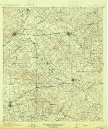
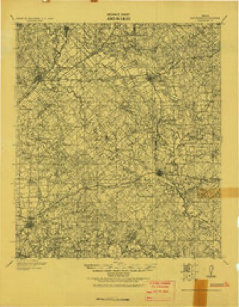
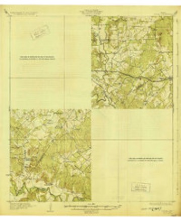
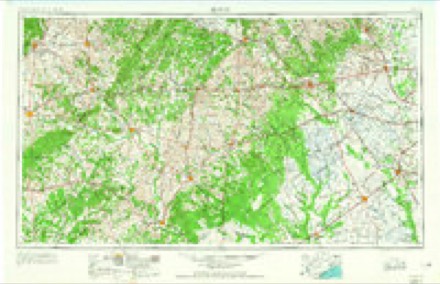
15 topographic sheets cover this place, the earliest surveyed in 1911 and the latest in 1985. It stands in the Luling census division. It lies in ZIP code area 78648. The Survey maps it on the Luling quadrangle.
Topographic sheets covering this place
7 surveys from 15 printed sheetsMatched by testing this settlement's coordinate against the published boundary of every sheet in the United States Geological Survey's historical collection. Each opens the scanned sheet at the Survey.
- 1911 USGS San Marcos quadrangle1:125000, 2 printings
- 1919 USGS San Marcos quadrangle1:125000
- 1929 USGS Luling quadrangle1:62500, 2 printings
- 1953 USGS Seguin quadrangle1:250000, 4 printings
- 1958 USGS Seguin quadrangle1:250000
- 1964 USGS Luling quadrangle1:24000, 3 printings
- 1985 USGS Seguin quadrangle1:100000, 2 printings
Fires near this place
77 since 1993Regional context, not property-specific evidence. The federal wildfire occurrence database lists 77 fires within 5 miles of Stairtown between 1993 and 2020, burning about 930 acres in total. None started naturally. 4 were recorded as arson. Distance is straight-line from the map coordinates, so a fire counted here may appear on a neighbouring settlement's page as well.
| Reported cause | Fires |
|---|---|
| Debris and open burning | 23 |
| Equipment and vehicle use | 22 |
| Missing data/not specified/undetermined | 16 |
| Power generation/transmission/distribution | 8 |
| Arson/incendiarism | 4 |
| Smoking | 3 |
| Railroad operations and maintenance | 1 |
The most recent of them, most recent first, with the day each was reported and the service that recorded it.
| Date | Cause | Size | Reported by | Name on the report |
|---|---|---|---|---|
| 3 September 2000 | Missing data/not specified/undetermined | 5.0 acres | Texas A & M Forest Service | SOUTH BRANCH - 100 |
| 22 September 2012 | Debris and open burning | under an acre | Texas A & M Forest Service | BRUSH FIRE /SMALL TRACTOR |
| 20 September 2006 | Debris and open burning | 5.0 acres | Texas A & M Forest Service | CALLIHAN FIRE |
| 20 September 2006 | Debris and open burning | 17 acres | Texas A & M Forest Service | not named |
| 8 August 2012 | Equipment and vehicle use | under an acre | Texas A & M Forest Service | 671 BRUSH FIRE |
| 29 August 2015 | Smoking | under an acre | Texas A & M Forest Service | GRASSFIRE HWY 80 |
| 25 August 2004 | Missing data/not specified/undetermined | 35 acres | Texas A & M Forest Service | CENTRAL TX - 8 |
| 21 August 2012 | Equipment and vehicle use | under an acre | Texas A & M Forest Service | JOHNSON OILFIELD LEASE |
Settlements close enough to share some of these fires:
Mines and quarries near this place
2 within 5 milesRegional context, not property-specific evidence. The federal mineral resources record lists 2 workings within 5 miles of Stairtown: 2 producers. All of them still produce. What was taken out: Sand and Gravel, Construction. Distance is straight-line from the map coordinates, so a quarry counted here may appear on a neighbouring settlement's page as well.
| Where | Site | Commodity | Status | Recorded |
|---|---|---|---|---|
| Hays County Gravel Co Operation | Sand and Gravel, Construction | Producer | ||
| Unnamed Pit | Sand and Gravel, Construction | Producer | Gravel, Sand |
Storms near this place
2 since 2022Regional context, not property-specific evidence. The National Weather Service names Stairtown in 2 storm reports in 2022: 1 tornado, 1 hail. No death or injury is recorded in these reports. Each account below is quoted exactly as the forecast office filed it, from the NOAA Storm Events Database, and each date opens the federal record of that event.
| When | Event | Place named | Harm | What the report says |
|---|---|---|---|---|
| March 2022 | Tornado (EF2) | Stairtown | - | An NWS Storm Survey team determined a tornado caused EF-2 damage along a 7.5 mile track from 3 miles ESE of Kingsbury to 3 miles ESE of Fentress in Caldwell County. Maximum winds were estimated at 115 mph. The rotation in the storm began to tighten as the storm crossed I-10 at 4:47pm CST. Based on radar data the tornado began roughly a minute later. The tornado crossed Appling Rd. where it took off metal panels from two different barn structures including one barn that lost all of its metal roofing and possibly part of an exterior wall. The tornado next crossed Hwy 90 and moved almost parallel to Woodrow Center Rd. for about a mile and a half damaging several large trees and two houses. One house lost some roof shingles. The other sustained more significant damage to its roof. On the same property a large RV was moved about 100 feet from where it was parked and then destroyed when it hit a tree. An old wooden barn was pushed over and twisted. The tornado continued down Woodrow Center Rd. and across Gander Slough Rd. It moved back into an area of shrubs and trees with not many roads along the San Marcos River. Back along the river, a large grove of trees sustained damage with large trees snapped in the middle of the trunk, uprooted completely, or heavily damaged. As the storm began to cycle the tornado began to move northeast and then more north. Another grove of trees was heavily impacted before another house was hit along with a four person ATV being thrown. Two large trees, estimated over 300 years old, were snapped or fully|uprooted. The tornado then crossed Hwy 80 before impacting one more house, damaging an old RV, and causing more tree damage. The tornado quickly fell apart to the northeast of Stairtown, and dissipated near FM 671. |
| March 2022 | Hail | Stairtown | - | A thunderstorm produced nickel size hail in Stairtown. |
Nearest settlements
The eight closest, with where each one stands in the county. Distances are straight-line, computed from the Geographic Names Information System coordinates.
| Map | Place | Distance | Sheets |
|---|---|---|---|
| Prairie Lea | 1.7 miles | 15 | |
| Fentress | 3.7 miles | 13 | |
| Joliet | 4.4 miles | 15 | |
| Mineral Springs (historical) | 4.7 miles | 15 | |
| Luling | 5.0 miles | 15 | |
| Soda Springs | 6.8 miles | 16 | |
| McNeil | 7.6 miles | 16 | |
| Brownsboro | 7.7 miles | 15 |
Provenance
This settlement is recorded in the Geographic Names Information System as feature 1347790. The sheet list is computed by point-in-boundary test against the United States Geological Survey's historical topographic inventory. Both are works of the United States government and carry no copyright under 17 U.S.C. 105.
Wildfire. Short, Karen C. 2022. Spatial wildfire occurrence data for the United States, 1992-2020 [FPA_FOD_20221014]. 6th Edition. Fort Collins, CO: Forest Service Research Data Archive. https://doi.org/10.2737/RDS-2013-0009.6 Collected with United States Government funding and usable without additional permissions or fees.
Mines and quarries. USGS Mineral Resources Data System (MRDS) https://mrdata.usgs.gov/mrds/ A work of the United States government, no copyright under 17 U.S.C. 105.
Storms. NOAA National Centers for Environmental Information, Storm Events Database https://www.ncei.noaa.gov/stormevents/ A work of the United States government, no copyright under 17 U.S.C. 105. Narratives are quoted verbatim from the National Weather Service report and are not edited or summarised.