 Block
BlockStuart Place, Texas
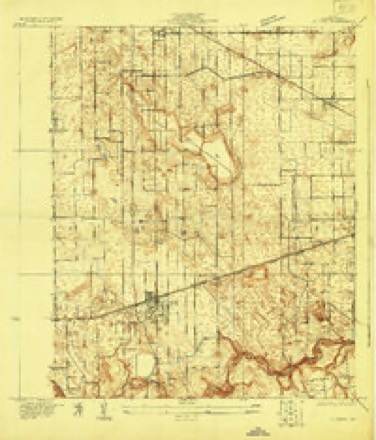
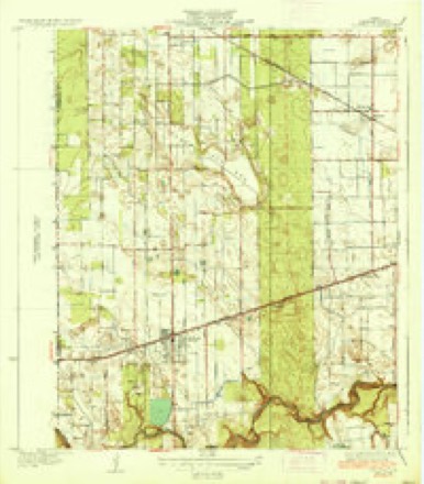
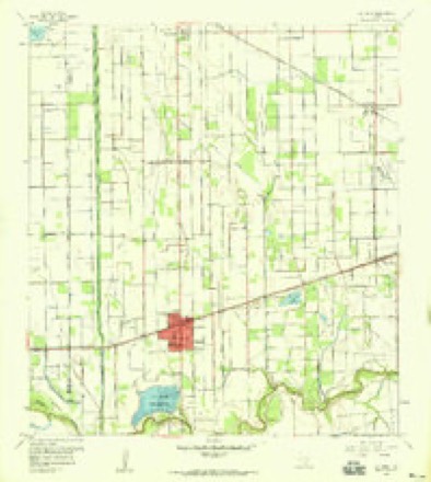
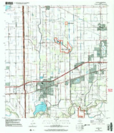
13 topographic sheets cover this place, the earliest surveyed in 1929 and the latest in 2002. It stands in the Harlingen-San Benito census division. It lies in ZIP code area 78552. The Survey maps it on the La Feria quadrangle.
Topographic sheets covering this place
9 surveys from 13 printed sheetsMatched by testing this settlement's coordinate against the published boundary of every sheet in the United States Geological Survey's historical collection. Each opens the scanned sheet at the Survey.
- 1929 USGS La Feria quadrangle1:24000
- 1936 USGS La Feria quadrangle1:31680, 3 printings
- 1953 USGS Brownsville quadrangle1:250000
- 1956 USGS Brownsville quadrangle1:250000, 2 printings
- 1956 USGS La Feria quadrangle1:24000, 2 printings
- 1956 USGS Port Isabel quadrangle1:250000
- 1962 USGS Brownsville quadrangle1:250000
- 1992 USGS Harlingen quadrangle1:100000
- 2002 USGS La Feria quadrangle1:24000
Fires near this place
104 since 1993Regional context, not property-specific evidence. The federal wildfire occurrence database lists 104 fires within 5 miles of Stuart Place between 1993 and 2019, burning about 1,506 acres in total. 2 started naturally. 19 were recorded as arson. Distance is straight-line from the map coordinates, so a fire counted here may appear on a neighbouring settlement's page as well.
| Reported cause | Fires |
|---|---|
| Missing data/not specified/undetermined | 43 |
| Debris and open burning | 32 |
| Arson/incendiarism | 19 |
| Power generation/transmission/distribution | 3 |
| Equipment and vehicle use | 2 |
| Natural | 2 |
| Railroad operations and maintenance | 2 |
| Fireworks | 1 |
The most recent of them, most recent first, with the day each was reported and the service that recorded it.
| Date | Cause | Size | Reported by | Name on the report |
|---|---|---|---|---|
| 18 September 2018 | Debris and open burning | under an acre | Texas A & M Forest Service | PRIMERA COMMAND |
| 13 September 2018 | Debris and open burning | under an acre | Texas A & M Forest Service | WILCOX COMMAND |
| 3 August 1993 | Debris and open burning | 10 acres | Lower Rio Grande Valley National Wildlife Refuge | TIOCANO2 |
| 26 August 2018 | Debris and open burning | under an acre | Texas A & M Forest Service | WILCOX COMMAND |
| 18 August 2009 | Debris and open burning | under an acre | Lower Rio Grande Valley National Wildlife Refuge | RESACA DE LOS FRESNOS |
| 5 July 2018 | Missing data/not specified/undetermined | under an acre | Texas A & M Forest Service | WILSON COMMAND |
| 4 July 2005 | Debris and open burning | 35 acres | South Texas Refuge Complex | JULY 4TH |
| 27 July 2010 | Natural | 1.0 acres | Lower Rio Grande Valley National Wildlife Refuge | CANE |
Settlements close enough to share some of these fires:
Storms near this place
12 since 2008Regional context, not property-specific evidence. The National Weather Service names Stuart Place in 12 storm reports between 2008 and 2025: 3 heavy rain, 3 hail, 3 thunderstorm wind, 2 lightning. No death or injury is recorded in these reports. Each account below is quoted exactly as the forecast office filed it, from the NOAA Storm Events Database, and each date opens the federal record of that event.
| When | Event | Place named | Harm | What the report says |
|---|---|---|---|---|
| August 2015 | Thunderstorm Wind | Stuart Place | $30,000 | Microburst produced 60 to 65 mph winds that flipped an unanchored Gulfstream trailer, partialy removed the roof at an auto dealershpi on Altas Palmas Road, knocked down telephone poles, as well as broken hundred of tree limbs from mesquite, cottonwood, sycamore, and poplar trees, two of which fell onto a residence and damaged the roof. |
| April 2015 | Thunderstorm Wind | Stuart Place | $10,000 | Cameron County Sheriffs Office reported trees blown down onto Hand Road in Combs, utility wires blown down onto the road in Primera, and a medium size tree down on a car in Primera. Harlingen Police Department reported two medium size trees blown down on Garrett Road in Harlingen. |
| August 2020 | Thunderstorm Wind | Stuart Place | $5,000 | A large metal awning from a local convenient gas station severely damaged and partially blown off. Wind gusts of at least 60 mph were estimated to have occurred at the intersection of Bass Blvd and Business 83 at 8:30 PM CDT when a strong thunderstorm moved through the area. |
| May 2012 | Lightning | Stuart Place | $5,000 | Palm Valley resident reported 5 palm trees set on fire by a lightning strike. |
| July 2022 | Lightning | Stuart Place | $1,000 | A very electric storm over the Harlingen and La Feria area of Cameron County on July 27th produced a lightning strike that struck powerlines just outside of the KVEO news studio. Those powerlines then fell onto Interstate 2, which initially caused a backup on the interstate. Crews worked to clear the lines quickly, but had to close the interstate again that evening to repair the lines. Timing was based on radar, National Lightning Detection Network (NDLN), and a broadcast media report. No injuries, or car accidents were reported as a result of the downed powerlines. |
| May 2012 | Hail | Stuart Place | $500 | Nickel to quarter size hail reported at Altas Palmas and Highway 83 and quarter size hail along Highway 83 on the west side of Harlingen. Report from spouse of NWS employee that car windshield was broken from the hail. |
| March 2025 | Flood | Stuart Place | - | Emergency manager reported a closed road due to urban flooding in Palm Valley near the intersection of Queens Sago Dr and Stuart Place Rd. Time of event estimated by radar and duration of estimated rainfall of 3 to 4 inches in two hours. |
| April 2023 | Hail | Stuart Place | - | An NWS Employee measured quarter (1.0) sized hail on the southwest side of Harlingen. |
| April 2017 | Hail | Stuart Place | - | NWS employee reported half dollar size hail that lasted for 8 to 10 minutes. |
| May 2016 | Heavy Rain | Stuart Place | - | CoCoRaHS observer west of Harlingen reported 3.55 inches of rainfall in less than 2 hours. |
| May 2016 | Heavy Rain | Stuart Place | - | CoCoRaHS observer west of Harlingen reported 4.06 inches of rainfall in less than 2 hours. |
| November 2008 | Heavy Rain | Stuart Place | - | Another in a round of locally heavy thunderstorms moved across Harlingen during the lunch hour, creating several instances of nuisance minor flooding. Radar estimated of up to 2 inches of rain caused high standing water at the intersection of North A Street and New Combes Highway, with other ponding along 77 Sunshine Strip. |
Nearest settlements
The eight closest, with where each one stands in the county. Distances are straight-line, computed from the Geographic Names Information System coordinates.
| Map | Place | Distance | Sheets |
|---|---|---|---|
| Palm Valley | 1.6 miles | 13 | |
| Adams Gardens | 2.0 miles | 13 | |
| Las Palmas Colonia | 2.0 miles | 13 | |
| Juarez Colonia | 2.1 miles | 13 | |
| Fred Adams Colonia | 2.3 miles | 13 | |
| Windsong Village Colonia | 3.2 miles | 13 | |
| Los Ranchitos Colonia | 3.2 miles | 13 | |
| Primera | 3.3 miles | 13 |
Provenance
This settlement is recorded in the Geographic Names Information System as feature 1348014. The sheet list is computed by point-in-boundary test against the United States Geological Survey's historical topographic inventory. Both are works of the United States government and carry no copyright under 17 U.S.C. 105.
Wildfire. Short, Karen C. 2022. Spatial wildfire occurrence data for the United States, 1992-2020 [FPA_FOD_20221014]. 6th Edition. Fort Collins, CO: Forest Service Research Data Archive. https://doi.org/10.2737/RDS-2013-0009.6 Collected with United States Government funding and usable without additional permissions or fees.
Storms. NOAA National Centers for Environmental Information, Storm Events Database https://www.ncei.noaa.gov/stormevents/ A work of the United States government, no copyright under 17 U.S.C. 105. Narratives are quoted verbatim from the National Weather Service report and are not edited or summarised.