 Block
BlockSunnyside, Texas
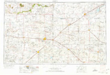
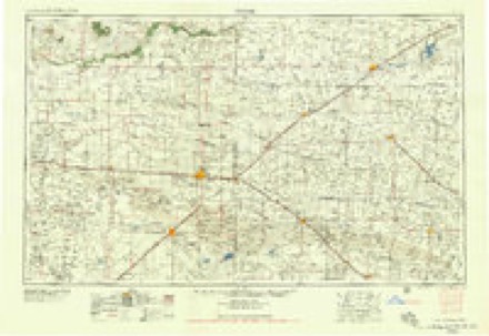
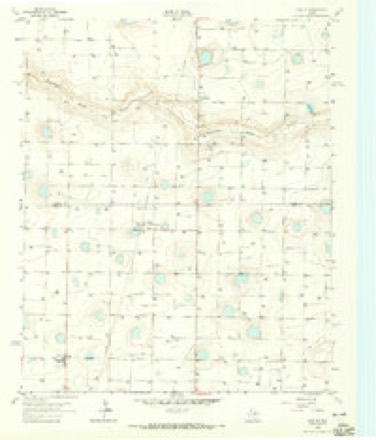
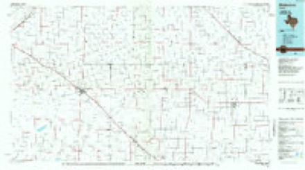
8 topographic sheets cover this place, the earliest surveyed in 1954 and the latest in 1985. It stands in the Hart census division. It lies in ZIP code area 79027. The Survey maps it on the Dodd SE quadrangle.
Topographic sheets covering this place
4 surveys from 8 printed sheetsMatched by testing this settlement's coordinate against the published boundary of every sheet in the United States Geological Survey's historical collection. Each opens the scanned sheet at the Survey.
- 1954 USGS Clovis quadrangle1:250000, 4 printings
- 1958 USGS Clovis quadrangle1:250000
- 1963 USGS Dodd SE quadrangle1:24000
- 1985 USGS Muleshoe quadrangle1:100000, 2 printings
Storms near this place
17 since 1995Regional context, not property-specific evidence. The National Weather Service names Sunnyside in 17 storm reports between 1995 and 2025: 8 hail, 5 tornado, 3 thunderstorm wind, 1 flood. No death or injury is recorded in these reports. Each account below is quoted exactly as the forecast office filed it, from the NOAA Storm Events Database, and each date opens the federal record of that event.
| When | Event | Place named | Harm | What the report says |
|---|---|---|---|---|
| April 2001 | Thunderstorm Wind | Sunnyside | $150,000 | Several center point irrigation systems were destroyed by thunderstorm wind across the southern portion of the county. |
| May 2022 | Thunderstorm Wind | Sunnyside | $100,000 | A report was received of a center irrigation pivot overturned near the community of Sunnyside. The same thunderstorm produced a wind gust to 85 mph a few minutes later near Hart. |
| May 2019 | Tornado (EF0) | Sunnyside | $100,000 | A NWS storm survey revealed that an EF0 tornado affected a portion of Castro County. The tornado was first reported just northwest of the intersection of US Highway 385 and Farm to Market Road 145. The tornado then moved northeast flipping two center irrigation pivot systems near the intersection of County Road 624 and County Road 516. Although no additional damage was found, the tornado was observed crossing Farm to Market Road 194 between Hart and Dimmitt. |
| June 1995 | Tornado (F1) | Sunnyside | $50,000 | Six tornadoes were on the ground at once. The main tornado from the updraft base damaged a home. There were five other land spout or satellite tornadoes associated with this supercell. One home was damaged. Tornado path is an estimate. |
| May 1999 | Hail | Sunnyside | $25,000 | no account filed |
| June 1995 | Hail | Sunnyside | $10,000 | no account filed |
| April 2025 | Tornado (EFU) | Sunnyside | - | A long lived supercell tracked from Bailey County into Lamb County and then into Castro County producing periodic severe hail and a tornado from Lamb County into Castro County. Several funnel and tornado reports were received early in the morning of the 26th as WSR-88D data showed increasing and tightening low-level circulation east of Springlake. A photograph of a wedge-type tornado was taken by a storm chaser at 0135 CST southwest of Hart. No reports of damage were received. |
| August 2015 | Hail | Sunnyside | - | A trained storm spotter reported hail to the size of quarters in Sunnyside. No damage was reported. |
| August 2015 | Thunderstorm Wind | Sunnyside | - | A KVII-TV school net site in Sunnyside measured a wind gust to 67 mph. |
| May 1999 | Tornado (F0) | Sunnyside | - | A brief tornado touchdown in open county was reported by trained storm spotters. No survey was conducted. |
| October 2018 | Flood | Sunnyside | - | no account filed |
| April 2001 | Hail | Sunnyside | - | no account filed |
| May 2001 | Hail | Sunnyside | - | no account filed |
| June 1995 | Hail | Sunnyside | - | no account filed |
| June 1995 | Tornado (F0) | Sunnyside | - | no account filed |
| June 1995 | Hail | Sunnyside | - | no account filed |
| May 1995 | Hail | Sunnyside | - | no account filed |
Nearest settlements
The eight closest, with where each one stands in the county. Distances are straight-line, computed from the Geographic Names Information System coordinates.
Elsewhere
Matched on this settlement's Geographic Names Information System number rather than its name, so it cannot be a different place of the same name in another state.
| Wikipedia article on Sunnyside | An encyclopaedic summary. Its text is share-alike, so it is linked here rather than copied. |
| Wikidata item Q48836137 | The structured record the population and elevation above come from. Public domain (CC0). |
Provenance
This settlement is recorded in the Geographic Names Information System as feature 1380630. The sheet list is computed by point-in-boundary test against the United States Geological Survey's historical topographic inventory. Both are works of the United States government and carry no copyright under 17 U.S.C. 105.
Storms. NOAA National Centers for Environmental Information, Storm Events Database https://www.ncei.noaa.gov/stormevents/ A work of the United States government, no copyright under 17 U.S.C. 105. Narratives are quoted verbatim from the National Weather Service report and are not edited or summarised.