 Block
BlockCastro County, Texas
29 topographic sheets cover 16 settlements here.
Research this county
What the record shows
- 137 topographic sheet readings cover the county's settlements.
- The Geographic Names Information System records 16 populated places in this county; 16 are covered by at least one topographic sheet.
Photographs
1 photograph, 1936Taken for the Office of War Information and the Farm Security Administration, who photographed the country between 1935 and 1944. Works of United States government photographers, with no known restriction on use. Each opens its catalogue record.

Rothstein, Arthur, 1936. Library of Congress
Bird's-eye views and land ownership maps
1Drawn when these were printed as single large sheets: the town seen from the air, and the county divided into its farms with every owner named. Each opens the original at the Library of Congress.
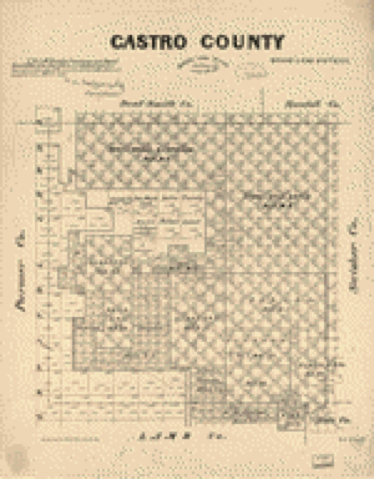
The county from the air
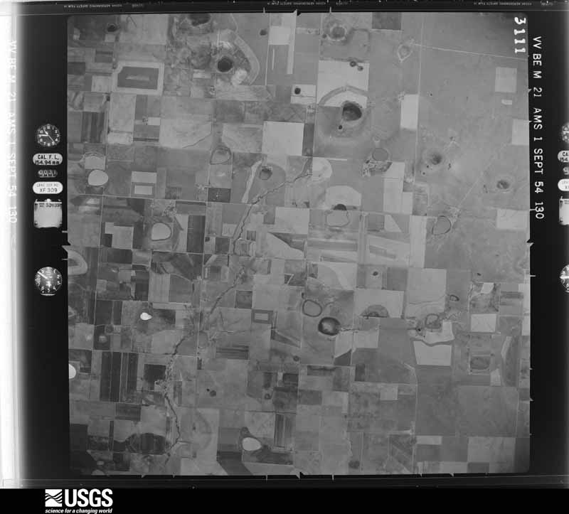
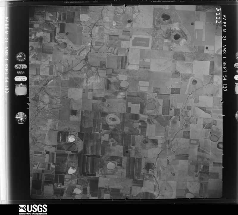
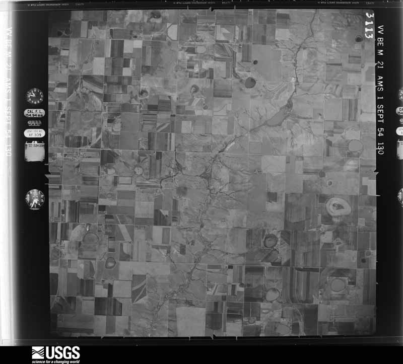
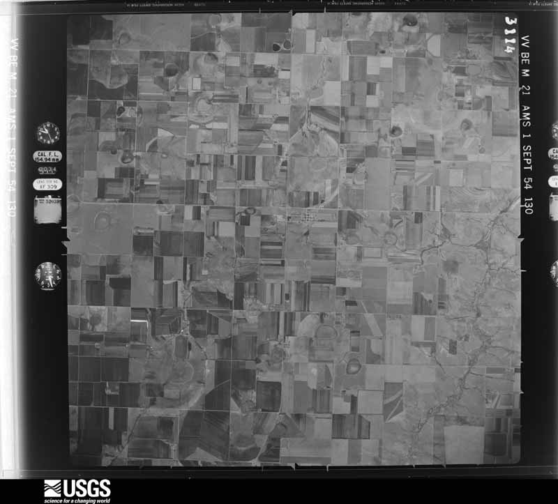
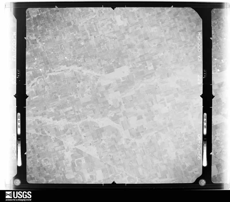
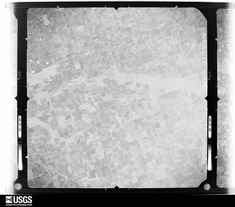
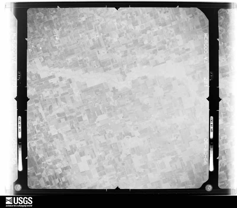
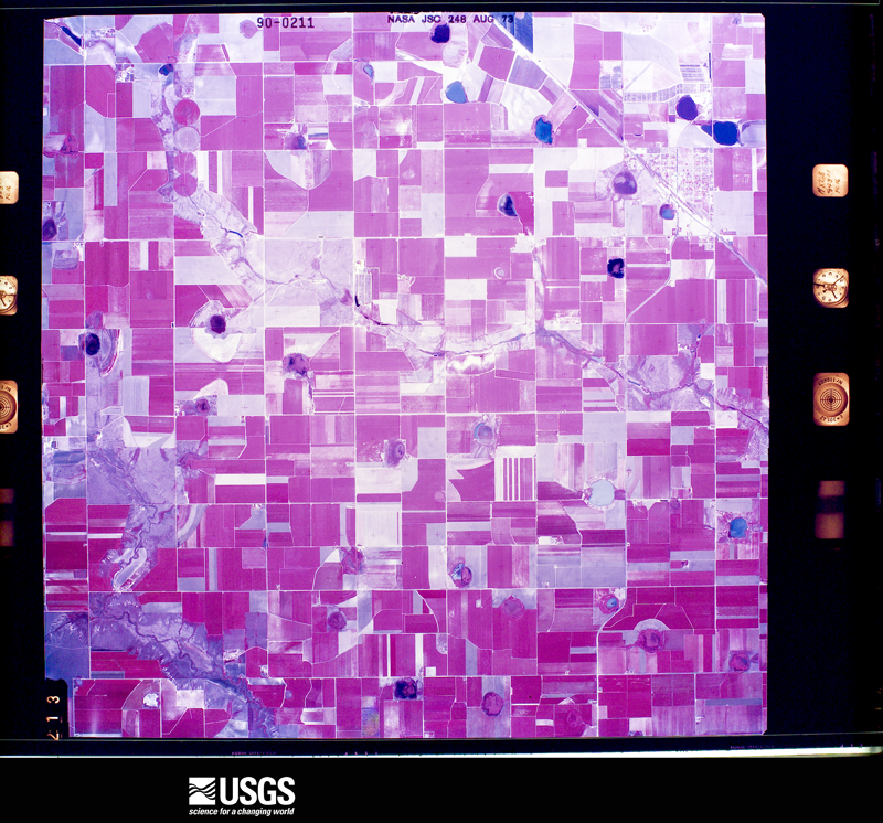
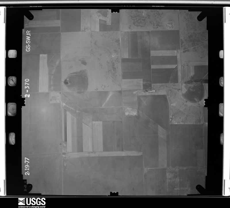
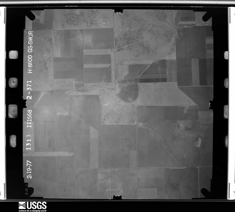
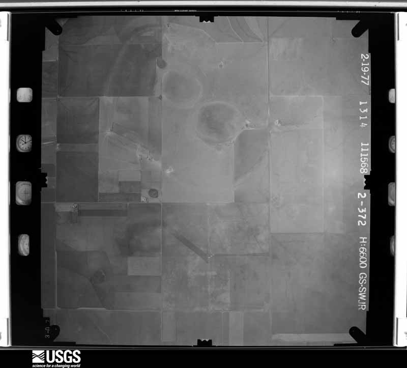
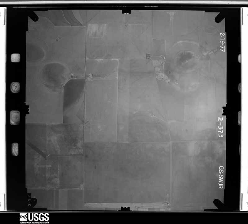
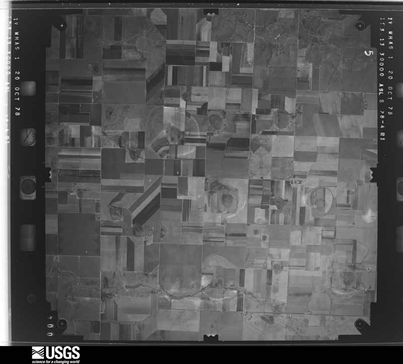
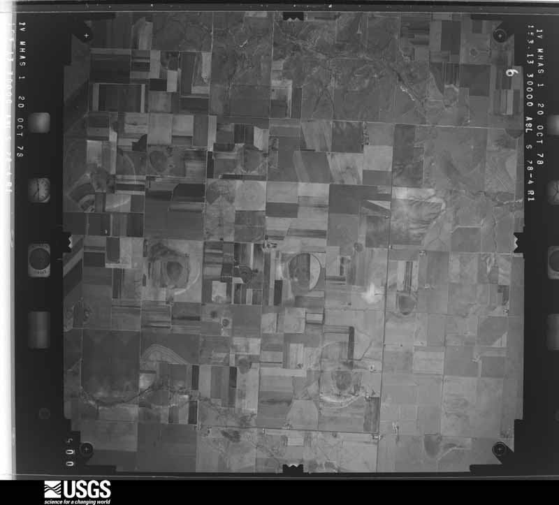
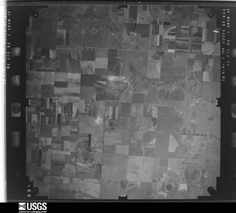
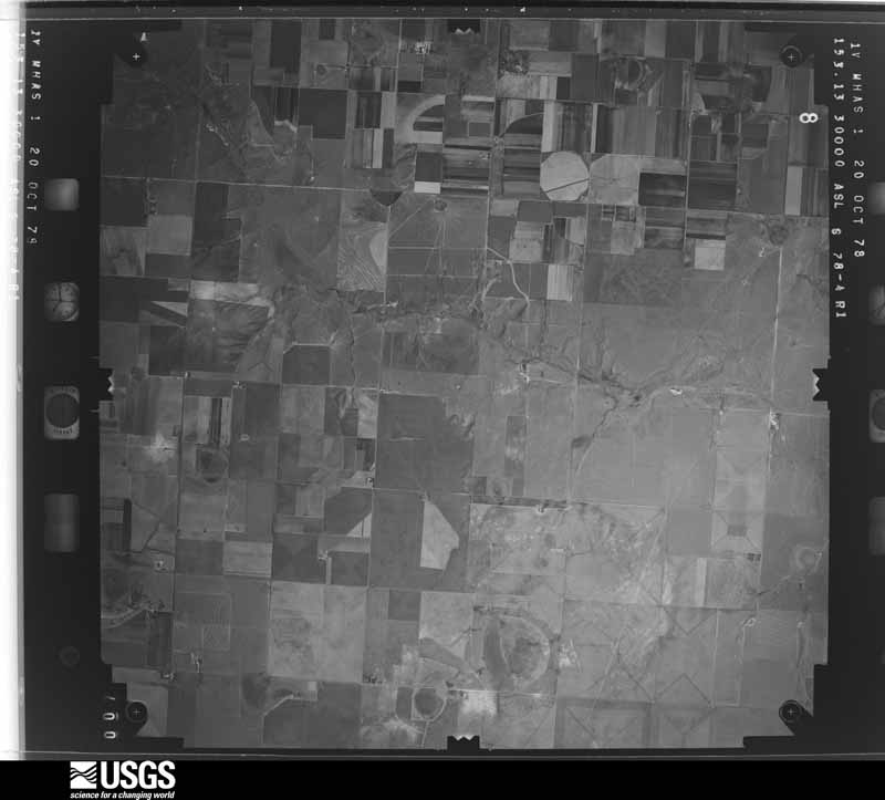
19 shownFlown by the U.S. Geological Survey between 1937 and 1989, the Aerial Photo Single Frames collection is the definitive mid-century view of the land: fields, roads and rivers as the camera saw them. The Survey holds 352 frames inside the rectangle that bounds this county; the 19 frames below were taken over the county itself, chosen across the decades of flights (at most four a year from that rectangle), so one flight cannot crowd out the rest. The full set is free to browse and download at EarthExplorer under the dataset Aerial Photo Single Frames.



Weather records
5 stationsThe thermometers that kept this county's weather, as the federal records hold them. The extremes below are measured values from those records, not estimates.
- NAZARETH 1906 to 1911, hottest 40.6 C, coldest -21.1 C
- DIMMITT 6 E 1923 to 1985
- HART 1947 to 2026, hottest 43.3 C, coldest -23.9 C
- DIMMITT 1959 to 2026, hottest 43.9 C, coldest -24.4 C
- DIMMITT 1.3 SSE 2008 to 2009
The 1950 census, district by district
9 districtsWho lived here in 1950, one enumeration district at a time, as the Census Bureau described each district. Each row opens its official National Archives result, with Population Schedules and ED Maps available there.
- 35-1Dimmitt town, comprising parts of Commissioners' Precincts 1, 2, 3, and 4 Dimmitt town - That part in Commissioner's Precinct 1
- 35-2Dimmitt town - That part in Commissioner's Precinct 2
- 35-3Dimmitt town - That part in Commissioner's Precinct 3
- 35-4Dimmitt town - That part in Commissioner's Precinct 4
- 35-5Commissioner's Precinct 1, outside Dimmitt town: Commissioner's Precinct 1 - That part northeast of Fort Worth and Denver City Railroad, outside Dimmitt town
- 35-6Commissioner's Precinct 1 - That part southwest of Fort Worth and Denver City Railroad, outside Dimmitt town (Remainder of Commissioner's Precinct 1 is in Dimmitt town)
- 35-7Commissioner's Precinct 2 - That part outside Dimmitt town (Remainder of Commissioner's Precinct 2 is in Dimmitt town)
- 35-8Commissioner's Precinct 3 - That part outside Dimmitt town (Remainder of Commissioner's Precinct 3 is in Dimmitt town)
- 35-9Commissioner's Precinct 4 - That part outside Dimmitt town (Remainder of Commissioner's Precinct 4 is in Dimmitt town)
Wildfire, 2000 to 2020
73 firesEvery wildfire the federal occurrence database records inside this county: 73 of them, burning about 10,917 acres. 3 started naturally and 1 was recorded as arson. Each settlement page carries the fires within five miles of it.
| Reported cause | Fires |
|---|---|
| Missing data/not specified/undetermined | 38 |
| Equipment and vehicle use | 13 |
| Debris and open burning | 12 |
| Natural | 3 |
| Power generation/transmission/distribution | 3 |
| Smoking | 2 |
| Railroad operations and maintenance | 1 |
| Arson/incendiarism | 1 |
The five largest, by the area the report gives. None of them was recorded as arson.
| Date | Cause | Size | Reported by | Name on the report |
|---|---|---|---|---|
| 26 April 2011 | Missing data/not specified/undetermined | 3,952 acres | Texas A & M Forest Service | HAPPY FIRE |
| 22 February 2008 | Missing data/not specified/undetermined | 2,000 acres | Texas A & M Forest Service | not named |
| 3 October 2000 | Missing data/not specified/undetermined | 1,500 acres | Texas A & M Forest Service | TIERRA BLANCA |
| 4 June 2008 | Missing data/not specified/undetermined | 900 acres | Texas A & M Forest Service | not named |
| 10 May 2010 | Equipment and vehicle use | 650 acres | Texas A & M Forest Service | GRASS AND VEHICLE |
| 5 April 2010 | Power generation/transmission/distribution | 350 acres | Texas A & M Forest Service | SUREWET |
| 9 June 2018 | Missing data/not specified/undetermined | 160 acres | Texas A & M Forest Service | MAGNESS PROPERTY |
| 4 June 2008 | Missing data/not specified/undetermined | 150 acres | Texas A & M Forest Service | not named |
Every settlement page carries the fires within five miles of it - see the settlement index below.
Storms, 1951 to 2025
60 of 453 shownThe NOAA Storm Events Database holds 453 reports for this county, causing 3 deaths, 45 injuries and about $9,466,060 in recorded property damage. Each settlement page carries the reports that name it.
| Kind of event | Reports |
|---|---|
| Hail | 239 |
| Thunderstorm Wind | 112 |
| Tornado | 71 |
| Flash Flood | 23 |
| Flood | 6 |
| Lightning | 1 |
| Heavy Rain | 1 |
The most serious of them, by death, then injury, then recorded damage. The accounts are quoted exactly as the forecast office filed them.
| When | Event | Place named | Harm | What the report says |
|---|---|---|---|---|
| April 1960 | Tornado (F3) | not stated | 3 killed, 32 hurt, $250,000 | no account filed |
| October 1971 | Tornado (F2) | not stated | 4 hurt, $2,500,000 | no account filed |
| June 1995 | Tornado (F2) | Dimmitt | 3 hurt, $400,000 | no account filed |
| July 1996 | Tornado (F0) | Dimmitt | 3 hurt, $50,000 | no account filed |
| May 1980 | Tornado (F1) | not stated | 1 hurt, $250,000 | no account filed |
| October 2007 | Thunderstorm Wind | Hart | 1 hurt, $180,000 | The Texas Tech University West Texas Mesonet site north of Hart recorded a 70 mph thunderstorm wind gust at 18:35 CST. The winds, accompanied by large hail, caused moderate damage and one minor injury. A number of telephone poles were blown down, and several center pivot irrigation systems were destroyed. A tractor trailer was blown off of Texas Highway 194 near Hart, and the driver was treated for minor injuries. Reports additionally indicated that a cotton trailer was blown into and damaged another tractor trailer. |
| July 1980 | Tornado (F2) | not stated | 1 hurt, $250 | no account filed |
| May 2014 | Thunderstorm Wind | Hart | $2,000,000 | Local fire department and emergency management officials reported wind damage in and around Hart associated with a severe thunderstorm downburst. A freestanding grain dryer was blown over against a grain tank at the intersection of Highway 194 and Farm to Market Road 168. A couple of center pivot irrigation systems were also blown over as the Texas Tech University West Texas Mesonet site in town recorded a 64 mph wind gust. Additionally, hail of up to penny size was observed. |
| April 2017 | Tornado (EF3) | Dimmitt Muni Arpt | $1,000,000 | An exceptionally large and significant tornado affected areas west of Dimmitt in Castro County. Along with video provided by storm spotters, a NWS storm survey team determined this tornado began just south of Highway 86 about 4 miles southwest of Dimmitt, before quickly assuming a very large wedge formation while moving slowly northeast. This tornado then turned north and northwest, before ending around the intersection of County Roads 511 and 511A. A satellite tornado reportedly accompanied this large tornado, however multiple video sources revealed this was only a satellite funnel. The most significant damage observed by the NWS survey team was found near the intersection of Farm to Market Road 2392 and County Road 510A. Here, a metal systems building was completely destroyed with its remnants lofted several hundred feet to the northwest. Several nearby homes sustained damage up to EF-2 intensity, with some residents riding out the tornado in their shelters. Fortunately, no injuries or fatalities accompanied this 1.1 mile wide tornado. Elsewhere along this large tornado's path, numerous power poles and center pivot irrigation systems were destroyed. |
| June 1992 | Tornado (F0) | not stated | $250,000 | no account filed |
| August 1986 | Tornado (F1) | not stated | $250,000 | no account filed |
| February 1980 | Tornado (F1) | not stated | $250,000 | no account filed |
| August 2011 | Thunderstorm Wind | Dimmitt | $200,000 | A Texas Tech University West Texas mesonet station near Dimmitt measured a wind gust to 95 mph. The mesonet station sustained significant damage during the thunderstorm. The mesonet station's radiation shields were damaged, and a pole and guy wires were pulled out of the ground. Additionally, three-quarter inch hail dents were observed on the mesonet equipment. A center pivot irrigation system was also damaged in vicinity of the mesonet station. Southwest of Dimmitt, seven power poles were downed around the intersection of FM 1055 and County Road 621. In Dimmitt, a feed lot office was heavily damaged. |
| April 2007 | Tornado (EF2) | Hart | $200,000 | A large and long-tracked tornado cut a path of damage twenty-nine miles in length and at times nearly three-quarters of a mile wide across portions of Lamb, Hale, Castro and Swisher Counties between 17:57 and 18:36 CST on the 21st. Total damages from the tornado were estimated to exceed $1.2 million, and one person was injured.|The large tornado caused damage to center pivot irrigation systems and utility lines as it tracked over southeastern Castro County between 18:18 and 18:33 CST. Local newspapers reported that numerous irrigation systems were destroyed, and utility poles were downed along Texas Highway 194 and Farm to Market Road 145 southeast and east of Hart.|Damage caused by the tornado east of Olton (Lamb County) supported an EF-2 rating with winds estimated between 110 and 120 mph. |
| April 2001 | Thunderstorm Wind | Dimmitt | $150,000 | Several center pivot irrigation systems were destroyed by thunderstorm wind in the western portion of the county. |
| April 2001 | Thunderstorm Wind | Sunnyside | $150,000 | Several center point irrigation systems were destroyed by thunderstorm wind across the southern portion of the county. |
| May 2022 | Thunderstorm Wind | Sunnyside | $100,000 | A report was received of a center irrigation pivot overturned near the community of Sunnyside. The same thunderstorm produced a wind gust to 85 mph a few minutes later near Hart. |
| May 2019 | Tornado (EF0) | Sunnyside | $100,000 | A NWS storm survey revealed that an EF0 tornado affected a portion of Castro County. The tornado was first reported just northwest of the intersection of US Highway 385 and Farm to Market Road 145. The tornado then moved northeast flipping two center irrigation pivot systems near the intersection of County Road 624 and County Road 516. Although no additional damage was found, the tornado was observed crossing Farm to Market Road 194 between Hart and Dimmitt. |
| September 2007 | Thunderstorm Wind | Nazareth | $100,000 | Damaging winds accompanied a rapidly intensifying severe storm near Nazareth. Two grain bins were destroyed northwest of the town. |
| May 1995 | Thunderstorm Wind | Hart | $100,000 | no account filed |
| September 2007 | Tornado (EF1) | Nazareth | $75,000 | Local officials reported that an apparent tornado severely damaged two barns on a farmstead east-northeast of Nazareth. Doppler radar signatures additionally supported the potential for tornadic activity, as the storm that initially produced damaging winds northwest of Nazareth evolved to display a supercell structure and sharply turned its direction of movement towards the southeast. |
| May 1999 | Hail | Dimmitt | $75,000 | no account filed |
| March 2019 | Thunderstorm Wind | Dimmitt | $50,000 | A downburst along the southeast side of Dimmitt completely destroyed a sheet metal building and knocked out power to the city for several hours. A 50-foot HAM radio tower was also toppled by these winds. |
| May 2018 | Thunderstorm Wind | Hart | $50,000 | A Texas Tech University West Texas mesonet measured a wind gust to 70 mph near Hart. Reports were also received of wind damage in the town of Hart. A roof was partially removed from a large warehouse. |
| May 2002 | Hail | Hart | $50,000 | The Castro County Sheriff's Office reported golfball size hail. |
| June 1995 | Tornado (F1) | Sunnyside | $50,000 | Six tornadoes were on the ground at once. The main tornado from the updraft base damaged a home. There were five other land spout or satellite tornadoes associated with this supercell. One home was damaged. Tornado path is an estimate. |
| June 1998 | Hail | Dimmitt | $50,000 | no account filed |
| April 2017 | Thunderstorm Wind | Dimmitt | $42,000 | Touchstone Energy reported that 14 power poles were damaged on the west and northwest side of Dimmitt. The damage was likely from severe inflow winds. The time of this event was estimated from adjacent severe wind reports. |
| June 2014 | Thunderstorm Wind | Dimmitt | $35,000 | A downburst struck the Dimmitt area with winds as high as 72 mph as measured by a nearby Texas Tech University West Texas Mesonet station. The Dimmitt sheriff's office reported widespread power outages, downed tree limbs and minor roof damage throughout the city. |
| April 2001 | Thunderstorm Wind | Nazareth | $35,000 | A mobile home was destroyed by thunderstorm wind. |
| April 2017 | Tornado (EF0) | Dimmitt | $30,000 | Several storm chasers observed a tornado that began around the intersection of Farm to Market Road 1055 and County Road 618 and moved east for approximately two miles. Video evidence indicated this tornado moved over a feed lot and then into an open field. Several power lines were downed along Farm to Market Road 1055 and County Road 510. |
| May 2010 | Thunderstorm Wind | Hart | $30,000 | Thunderstorm winds, accompanied by quarter size hail, destroyed a center pivot irrigation system southeast of Hart. |
| May 1995 | Thunderstorm Wind | Hart | $30,000 | no account filed |
| May 2008 | Thunderstorm Wind | Dimmitt | $25,000 | A swath of damaging winds spread eastward over portions of Castro County around 18:30 CST. A 71 mph gust was initially measured by the Texas Tech University West Texas Mesonet near Dimmitt at 18:20 CST, were several large trees were blown down and the roof was partially blown off of the school gym. By 18:35 CST, trees nearly one foot in diameter were blown down north of Nazareth as severe winds and hail impacted the area. At 17:45 CST, additional severe thunderstorm wind gusts up to 60 mph also were recorded by the Texas Tech University West Texas Mesonet near Amherst. |
| June 1999 | Thunderstorm Wind | Dimmitt | $25,000 | no account filed |
| June 1999 | Hail | Nazareth | $25,000 | no account filed |
| May 1999 | Hail | Sunnyside | $25,000 | no account filed |
| July 1959 | Tornado (F1) | not stated | $25,000 | no account filed |
| August 2012 | Thunderstorm Wind | Dimmitt | $20,000 | An NWS storm survey in the community of Flagg confirmed significant downburst winds of around 90 mph from the east and northeast. These winds heavily damaged a large empty grain bin, shifted a nearby building that was bolted to concrete a few inches off its foundation, twisted pieces of metal on a grain elevator, knocked down two power poles, and caused various degrees of damage to trees. |
| May 2000 | Hail | Dimmitt | $20,000 | Large hail damaged roofs and windows and destroyed cotton crops. |
| September 1999 | Hail | Dimmitt | $20,000 | Large, wind-driven hail broke windows between Dimmitt and Nazareth. |
| June 1995 | Hail | Dimmitt | $20,000 | no account filed |
| June 2007 | Thunderstorm Wind | Dimmitt | $15,000 | Residents near the Easter community in northwestern Castro County estimated thunderstorm wind gusts up to 60 mph shortly before 20:00 CST. The winds downed utility lines, and electrical power was out to several customers for nearly three hours. By 20:05 CST, the Texas Tech University West Texas Mesonet site near Dimmitt recorded a peak gust of 60 mph as the thunderstorms continued to move southeast. |
| October 2002 | Hail | Dimmitt | $15,000 | no account filed |
| June 1999 | Hail | Dimmitt | $15,000 | no account filed |
| June 2021 | Thunderstorm Wind | Dimmitt | $10,000 | A Texas Tech University West Texas mesonet site near Dimmitt measured severe wind gusts from 1955 CST to 2000 CST. A peak wind gust of 69 mph was measured at 1955 CST. Additionally, an NWS cooperative weather observer reported that a HAM radio tower was blown over. It was stated that the tower was rated to 90 mph. |
| June 2010 | Thunderstorm Wind | Hart | $10,000 | Local newspaper articles reported that thunderstorm winds downed a utility pole and lines along U.S. Highway 70 just southeast of Hart. Several residences were reportedly without power as a result of the damage. |
| July 2009 | Thunderstorm Wind | Dimmitt | $10,000 | The Texas Tech University West Texas Mesonet site northeast of Dimmitt recorded a thunderstorm wind gust up to 60 mph at 18:55 CST. By 18:59 CST local officials reported that several utility lines were downed by the winds west of Dimmitt along Texas Highway 86. Newspaper reports additionally indicated that at least one large tree was blown down in Dimmitt. The winds were at times accompanied by giant hail. |
| June 2002 | Thunderstorm Wind | Dimmitt | $10,000 | Strong thunderstorm winds damaged the roof of city hall, snapped power poles, and blew down trees and power lines. |
| April 2001 | Thunderstorm Wind | Nazareth | $10,000 | Strong wind uprooted trees and blew the roof off of a building. |
| June 1995 | Hail | Sunnyside | $10,000 | no account filed |
| April 2017 | Thunderstorm Wind | Dimmitt | $9,000 | Storm chaser video showed several power poles being blown down by inflow winds into a tornado at the intersection of State Highway 86 and County Road 510A. |
| April 2017 | Tornado (EF0) | Dimmitt | $9,000 | A storm chaser observed a brief tornado touchdown just south of the intersection of State Highway 86 and Farm to Market road 1524. Several power poles were downed along Farm to Market road 1524. |
| July 2009 | Hail | Dimmitt | $5,000 | The public reported tennis ball size hail along Texas Highway 86 west of Dimmitt just before 19:00 CST. The hail was accompanied by damaging thunderstorm winds, however, only minor hail damage was reported. |
| May 2008 | Thunderstorm Wind | Summerfield | $5,000 | Thunderstorm winds damaged the roof of a large metal barn at a rural residence east of Summerfield. |
| October 2007 | Hail | Dimmitt | $5,000 | A severe thunderstorm produced a swath of nickel to quarter size hail, at times accompanied by severe winds, from near Dimmitt to Hart. Initial reports indicated that nickel size hail began near a farm northeast of Dimmitt at 18:07 CST. By 18:13 CST, quarter size hail was reported in Nazareth. Hailstones of unknown size, driven by severe winds, destroyed at least 5,000 acres of corn and cotton crops near Hart around 18:30 CST. |
| January 1999 | Lightning | Dimmitt | $5,000 | A rare, middle of the night, winter time lightning strike to a farm house west of Dimmitt damaged the home's phones, computer, fax machine, television sets, and even blew out two windows. |
| June 1995 | Hail | Dimmitt | $5,000 | The flash flooding in Childress and Hall Counties caused $500 thousand in damage mainly to the railroad track north of Estelline. Large hail southwest of Dimmitt broke the windshield and dented the sheriff's car. The tornado was nearly stationary and was accompanied by three land spout tornadoes just southwest of the main tornado on the flanking line. Tornado path is an estimate based on spotter reports and video. |
| April 1998 | Tornado (F0) | Hart | $5,000 | no account filed |
| September 2004 | Flash Flood | Dimmitt | $4,000 | Flood waters entered a home in Dimmitt causing carpet and floor damage. |
Every populated place in the county
16Named settlements recorded in the Geographic Names Information System, each with the topographic sheets covering it. Villages, hamlets and abandoned places alike. Each is shown with the nearest named watercourse or landform and the survey quadrangle it falls on.
Provenance
- Topographic sheets. USGS Historical Topographic Map Collection, county index, measured from the bulk metadata.
- Fire insurance maps. Library of Congress Sanborn collection, faceted to this county.
- Photographs. Each place queried individually against the Library of Congress Prints and Photographs search.
- Wildfire. Short, Karen C. 2022. Spatial wildfire occurrence data for the United States, 1992-2020 [FPA_FOD_20221014]. 6th Edition. Fort Collins, CO: Forest Service Research Data Archive. https://doi.org/10.2737/RDS-2013-0009.6 Collected with United States Government funding and usable without additional permissions or fees.
- Mines and quarries. USGS Mineral Resources Data System (MRDS) https://mrdata.usgs.gov/mrds/ A work of the United States government, no copyright under 17 U.S.C. 105.
- Storms. NOAA National Centers for Environmental Information, Storm Events Database https://www.ncei.noaa.gov/stormevents/ A work of the United States government, no copyright under 17 U.S.C. 105. Narratives are quoted verbatim from the National Weather Service report and are not edited or summarised.