 Block
BlockTexarkana, Texas
21 topographic sheets cover this place, the earliest surveyed in 1909 and the latest in 2001. It stands in the Texarkana census division. It lies in ZIP code area 75501. It stands on Swampoodle Creek. The Survey maps it on the Texarkana quadrangle. 36,193 people lived here at the 2020 count. It stands 299 feet above sea level.
Research this city
On record in Texarkana
Buildings and businesses the archive holds for this place. Each opens its own page, with the source record it came from.
On the National Register 10 records
 Draughn-Moore Houselisted 1976
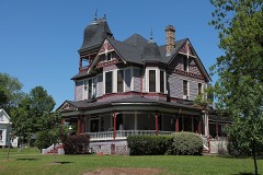 Earl-Rochelle Houselisted 1999
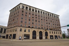 Hotel Grimlisted 2016
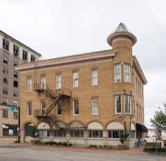 Offenhauser Insurance Buildinglisted 1971
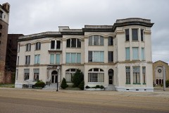 Rialto Buildinglisted 1982
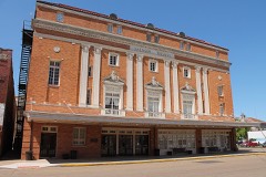 Saenger Theaterlisted 1978
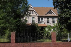 Whitaker Houselisted 1979
- Hotel McCartneylisted 1979
- Texarkana National Banklisted 2021
- Texarkana National Bank (Motor Bank and Parking Garage)listed 2021
Surveyed buildings and structures 8 records
- Lone Star Army Ammunition Plant, Texarkanafederal building survey, 1 photograph
- Municipal Building, Texas Boulevard at Third Street, Texarkanafederal building survey, 6 photographs
- Red River Army Depot, Texarkanafederal building survey, 1 photograph
- Stevens Courts Housing Project, 2220 West 15th Street, Texarkanafederal building survey, 4 photographs
- Stevens Courts Housing Project, Administration Building, 2220 West 15th Street, Texarkanafederal building survey, 6 photographs
- Stevens Courts Housing Project, Building 14, 2220 West 15th Street, Texarkanafederal building survey, 6 photographs
- Stevens Courts Housing Project, Building 7, 2220 West 15th Street, Texarkanafederal building survey, 5 photographs
- Stevens Courts Housing Project, Building 9, 2220 West 15th Street, Texarkanafederal building survey, 5 photographs
Population over time
2 figuresTexarkana fell from 36,411 to 36,193 between 2010 and 2020. These are the recorded population figures Wikidata holds for this place, reached through the Geographic Names Information System number this page is keyed on rather than by name, so they belong to this place and not to another of the same name. Most are census counts, but not all are: an early figure may be a founding or settlement estimate, and an estimate published within five years of a census is left out. The change column is computed, and is left blank where more than 20 years separate a figure from the one before it, because a gap that long is not a change between two counts.
| Year | People | Change |
|---|---|---|
| 2010 | 36,411 | |
| 2020 | 36,193 | -218 (-1%) |
Topographic sheets covering this place
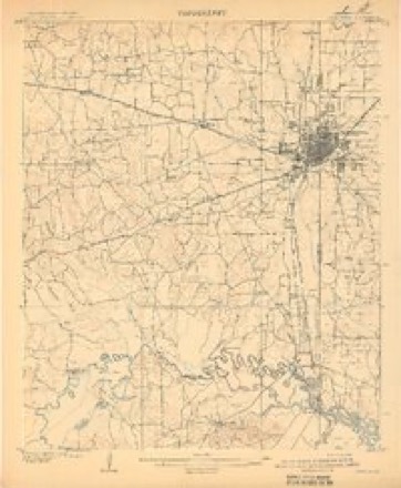
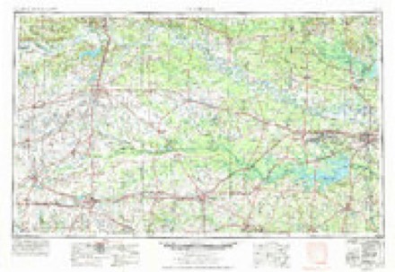
8 surveys from 21 printed sheetsMatched by testing this settlement's coordinate against the published boundary of every sheet in the United States Geological Survey's historical collection. Each opens the scanned sheet at the Survey.
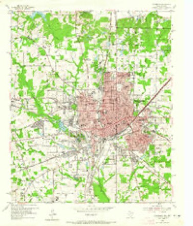
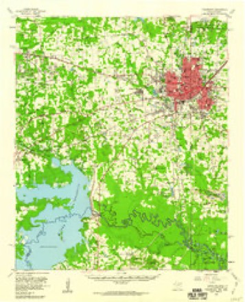
- 1909 USGS Texarkana quadrangle1:62500, 5 printings
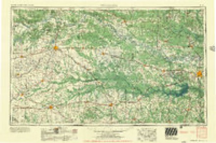
- 1953 USGS Texarkana quadrangle1:250000, 4 printings
- 1954 USGS Texarkana quadrangle1:24000, 6 printings
- 1954 USGS Texarkana quadrangle1:62500, 2 printings
- 1956 USGS Texarkana quadrangle1:250000
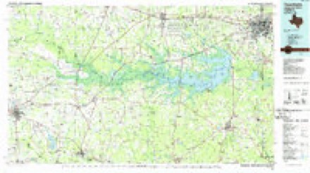
- 1986 USGS Texarkana quadrangle1:100000
- 1992 USGS Texarkana quadrangle1:100000
- 2001 USGS Texarkana quadrangle1:24000
Photographs
8 of 11 photographs shown, 2014Taken for the Office of War Information and the Farm Security Administration, who photographed the country between 1935 and 1944. Works of United States government photographers, with no known restriction on use. Each opens its catalogue record.
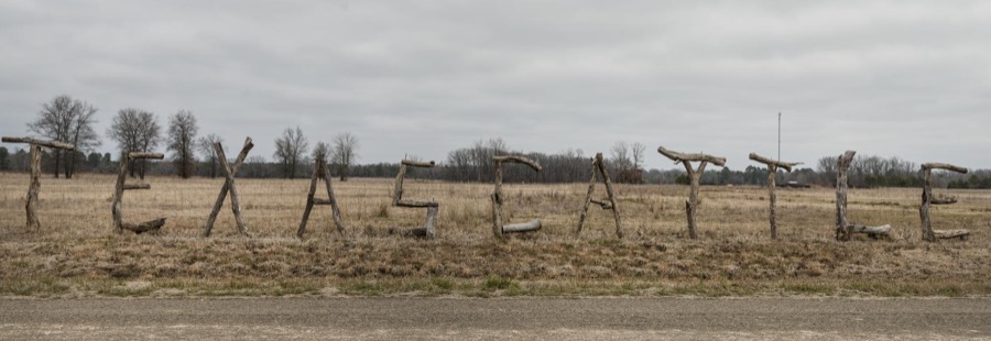
Highsmith, Carol M, 2014. Library of Congress
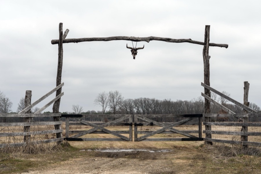
Highsmith, Carol M, 2014. Library of Congress
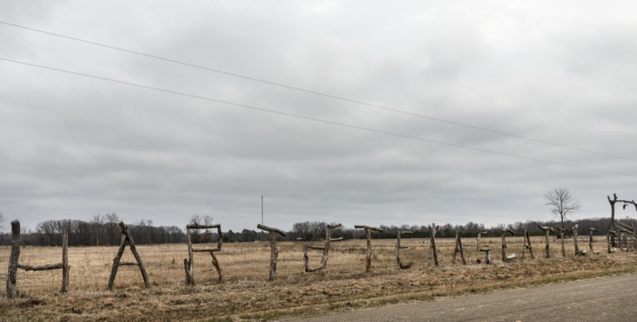
Highsmith, Carol M, 2014. Library of Congress
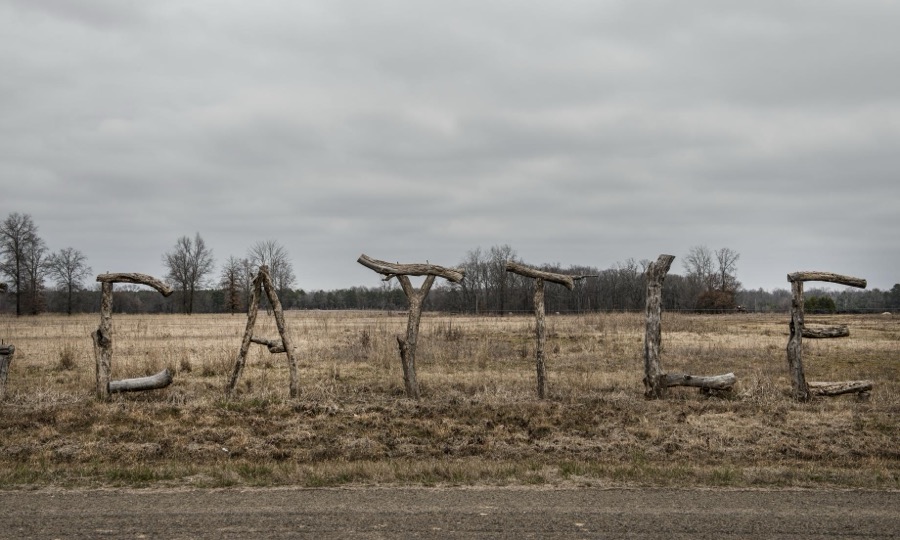
Highsmith, Carol M, 2014. Library of Congress
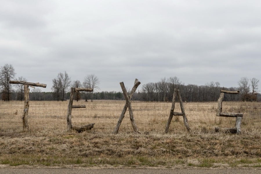
Highsmith, Carol M, 2014. Library of Congress
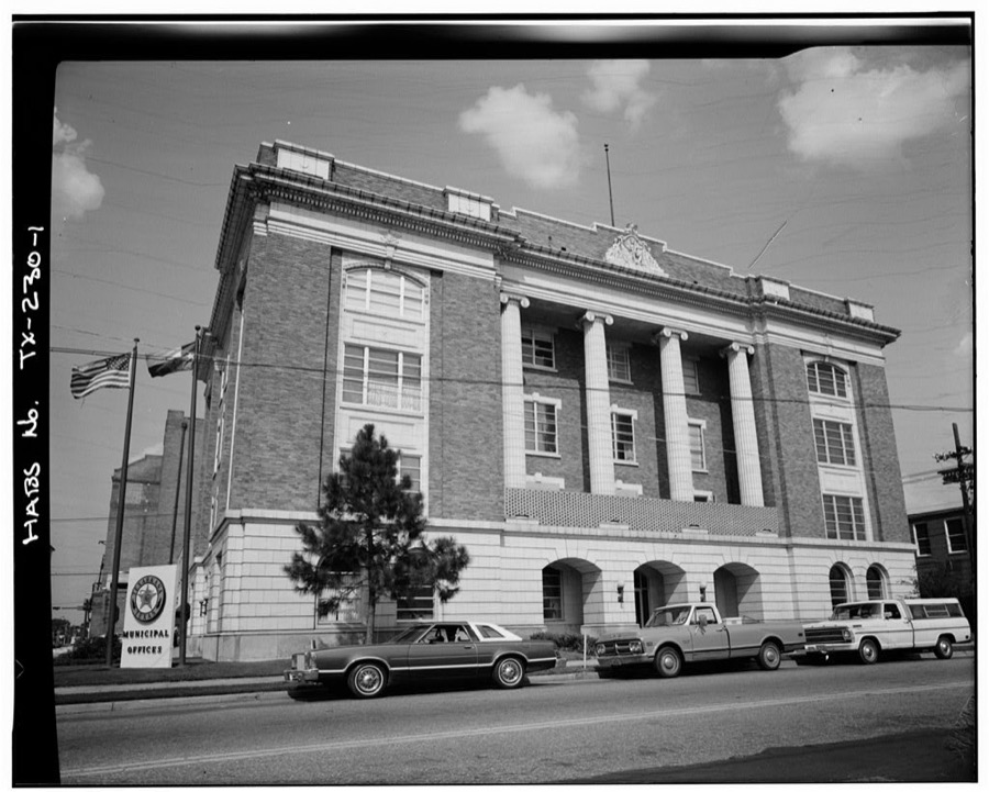
Photographer not recorded. Library of Congress
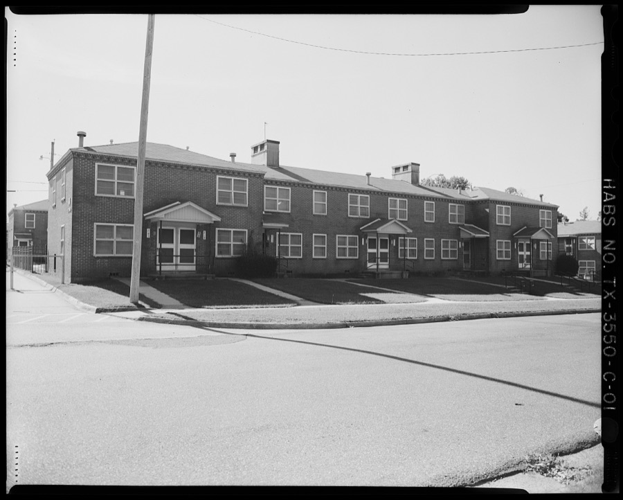
Photographer not recorded. Library of Congress
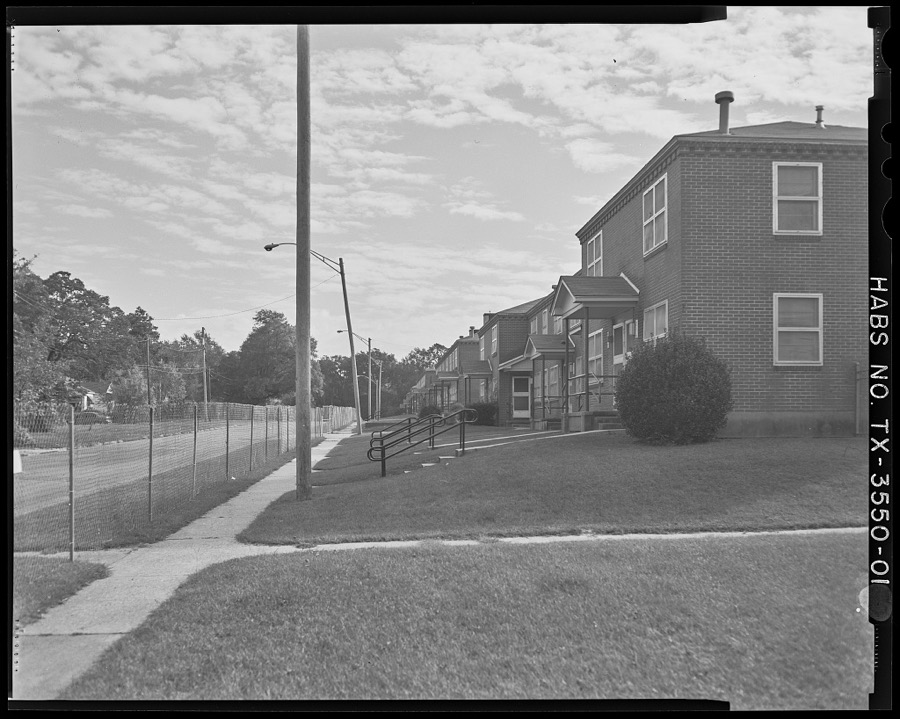
Photographer not recorded. Library of Congress
Every photograph of Bowie County
Fires near this place
270 since 1993Regional context, not property-specific evidence. The federal wildfire occurrence database lists 270 fires within 5 miles of Texarkana between 1993 and 2020, burning about 650 acres in total. 3 started naturally. 16 were recorded as arson. Distance is straight-line from the map coordinates, so a fire counted here may appear on a neighbouring settlement's page as well.
| Reported cause | Fires |
|---|---|
| Debris and open burning | 120 |
| Missing data/not specified/undetermined | 94 |
| Arson/incendiarism | 16 |
| Equipment and vehicle use | 10 |
| Misuse of fire by a minor | 7 |
| Smoking | 7 |
| Power generation/transmission/distribution | 6 |
| Railroad operations and maintenance | 4 |
| Recreation and ceremony | 3 |
| Natural | 3 |
The most recent of them, most recent first, with the day each was reported and the service that recorded it.
| Date | Cause | Size | Reported by | Name on the report |
|---|---|---|---|---|
| 8 September 2013 | Debris and open burning | 1.0 acres | Texas A & M Forest Service | 420 STIPP LANE |
| 8 September 2013 | Debris and open burning | 1.0 acres | Texas A & M Forest Service | BUCHANAN RD/SMITH RD |
| 8 September 2013 | Debris and open burning | 1.0 acres | Texas A & M Forest Service | 3406 GIN RD |
| 8 September 2013 | Equipment and vehicle use | 5.0 acres | Texas A & M Forest Service | 6296 |
| 7 September 2013 | Debris and open burning | 1.0 acres | Texas A & M Forest Service | RAY/GILLAM |
| 7 September 2002 | Missing data/not specified/undetermined | under an acre | Arkansas Forestry Commission | not named |
| 6 September 2011 | Smoking | 1.0 acres | Arkansas Forestry Commission | not named |
| 6 September 2006 | Debris and open burning | 2.0 acres | Texas A & M Forest Service | LINDEN - 634 |
Settlements close enough to share some of these fires:
Mines and quarries near this place
10 of 18 shownRegional context, not property-specific evidence. The federal mineral resources record lists 18 workings within 5 miles of Texarkana: 11 past producers, 6 producers, 1 unknown. 6 still produce. What was taken out: Clay, Sand and Gravel, Construction, Iron. Distance is straight-line from the map coordinates, so a quarry counted here may appear on a neighbouring settlement's page as well.
| Where | Site | Commodity | Status | Recorded |
|---|---|---|---|---|
| S. W. A. Pits | Iron | Producer | ||
| Hoot Plant | Sand and Gravel, Construction | Producer | ||
| Kennedy Sand & Gravel Co. | Sand and Gravel, Construction | Past Producer | ||
| Putch Pit & Plant | Sand and Gravel, Construction | Producer | ||
| Unknown | Sand and Gravel, Construction | Past Producer | ||
| Unknown | Sand and Gravel, Construction | Past Producer | ||
| Unknown | Sand and Gravel, Construction | Past Producer | ||
| Unknown | Sand and Gravel, Construction | Past Producer | ||
| Dickey | Clay | Unknown | ||
| Gallagher | Clay | Past Producer |
Storms near this place
60 of 100 shownRegional context, not property-specific evidence. The National Weather Service names Texarkana in 100 storm reports between 1993 and 2024: 45 thunderstorm wind, 32 hail, 19 flash flood, 2 lightning. The reports record 3 injuries. Each account below is quoted exactly as the forecast office filed it, from the NOAA Storm Events Database, and each date opens the federal record of that event.
| When | Event | Place named | Harm | What the report says |
|---|---|---|---|---|
| May 1998 | Flash Flood | Texarkana | 2 hurt, $1,100,000 | Excessive rain over a short period of time caused numerous flooding problems across the city. Cars were stranded and stalled with several underpasses flooded. A 21 year old woman was critically injured when her car was swept off a road into a drainage ditch. A 20 year old man riding with her managed to pull himself free of the vehicle by grabbing onto a branch hanging over the ditch. An estimated 500 residents were evacuated from their homes including 50 residents of a Texarkana, TX nursing home. |
| May 2008 | Thunderstorm Wind | Texarkana | 1 hurt, $1,000,000 | Two severe thunderstorms came together over the south side of the city. One severe storm was moving northeastward from southern Bowie County while the other was moving northwestward through Miller County. Both storms collided in an area just south of downtown Texarkana. As a result of the collision, the storm cores collapsed in an area just east of State Line Avenue over a several block area between 16th and 20th Streets. Numerous large trees were snapped or uprooted onto homes and cars in the Glendale Subdivision. As the survey expanded outward to the north near 24th Street and the Woodlawn Cemetery, trees were noted to have fallen in a north or northeastward direction typical of a microburst. Damage was found as far northeast as the Calvary Cemetery area with trees downed in a north to northeast direction. Trees were also uprooted and snapped on the Texas side of State Line Avenue with a heavier concentration along Magnolia Street between 24th Street and 30th Streets. It was noted that the trees fell in a northwesterly direction which would be expected if a microburst had occurred to the south and east of those locations. Numerous homes were damaged on the Texas side of State Line Avenue as a result. Powerlines were also downed throughout the area as a result of either poles snapping or trees falling on the lines. The area impacted by the microburst is approximately 3.5 miles long to the northeast of the origin and 4 miles in width from one end of the damage swath to the other. City and County officials estimate that 44 homes sustained major damage with an unknown number of vehicles damaged. At least 100 damage reports have been collected thus far. Only one minor injury occurred when a tree fell on a home injuring an elderly woman inside. |
| January 1999 | Flash Flood | Texarkana | $166,000 | Reports of cars floating off highways in town. West 70th was flooded and closed. FEMA declared a disaster area. |
| April 1999 | Thunderstorm Wind | Texarkana | $60,000 | Several trees down including a tree across a home. Several mobile homes were also damaged. |
| June 2004 | Thunderstorm Wind | Texarkana | $50,000 | Trailer homes damaged by high winds along Hwy 67 in the community of Liberty Eylau. |
| June 1994 | Thunderstorm Wind | Texarkana | $50,000 | Wind gusts to 65 miles per hour uprooted trees and blew the roof off a house. |
| April 1993 | Thunderstorm Wind | Texarkana | $50,000 | Thunderstorm winds rolled a mobile home and blew down some trees. |
| June 2012 | Thunderstorm Wind | Texarkana | $40,000 | Thunderstorm wind gusts peeled back the roof of an apartment complex off of Main street in Texarkana, Texas. |
| June 2012 | Thunderstorm Wind | Texarkana | $40,000 | Numerous trees down in the Liberty-Eylau community including one that fell on a home on Macedonia Street. A tree also fell on a barn off of County Road 2516 at the end of Ryan Loop Road. |
| June 2003 | Thunderstorm Wind | Texarkana | $40,000 | Trees fell across a house causing moderate damage. |
| May 2009 | Thunderstorm Wind | Texarkana | $30,000 | A tree fell on top of a home along Harrison Street in the southwest side of town. No injuries were reported. |
| May 2008 | Thunderstorm Wind | Texarkana | $30,000 | Trees downed on a home at 2411 Laurel Street on the Arkansas side of the city. |
| June 2007 | Lightning | Texarkana | $30,000 | Lightning struck a home west of town resulting in a house fire. Moderate damage was reported. No injuries reported. |
| April 2007 | Lightning | Texarkana | $30,000 | A lightning strike hit a saltwater tank disposal system from an oil well in the Liberty Eylau community. The explosion blew the top off one of the tanks 50 yards into another yard. Some residents were evacuated as there was a concern over toxic smoke. |
| September 2001 | Thunderstorm Wind | Texarkana | $20,000 | Structural damage to a commercial storage facility on FM 989 between US-59 and US-67. |
| May 2007 | Thunderstorm Wind | Texarkana | $15,000 | Trees were downed on the west side of town including one which fell on top of a car on the Texas side of State Line Road. No injuries were reported. |
| August 2000 | Thunderstorm Wind | Texarkana | $15,000 | Nine trees reported toppled cutting power to the local area. An aluminum roof peeled off a business and wrapped itself around some trees. The police department garage awning was severely damaged. |
| February 1999 | Thunderstorm Wind | Texarkana | $12,000 | Carport blown away. |
| May 2007 | Thunderstorm Wind | Texarkana | $5,000 | A billboard was blown down near the Jarvis Parkway. |
| May 1994 | Thunderstorm Wind | Texarkana | $5,000 | Trees were blown down by thunderstorm winds. |
| April 1994 | Thunderstorm Wind | Texarkana | $5,000 | High winds damaged a mobile home office. |
| April 1994 | Thunderstorm Wind | Texarkana | $5,000 | Thunderstorm winds damaged a barn. |
| August 1993 | Thunderstorm Wind | Texarkana | $5,000 | Trees were blown down in the south part of the city. |
| April 2013 | Thunderstorm Wind | South Texarkana | $1,000 | Vehicle windows were blown out in the parking lot of Liberty-Eylau High School southeast of Wake Villiage, Texas. |
| April 2024 | Thunderstorm Wind | Texarkana | - | Wind gust of 65 mph reported with tree limbs downed in Texarkana. |
| May 2024 | Thunderstorm Wind | Texarkana | - | Tree downed on 29th Street and Wood Street. |
| April 2023 | Flash Flood | Texarkana | - | Highway 67 was closed at the railroad track near Lelia Street due to high water. |
| June 2022 | Hail | Texarkana | - | A picture was posted to social media of quarter size hail that fell on the Texas side of Texarkana. |
| April 2022 | Thunderstorm Wind | South Texarkana | - | A 64 mph wind gust was measured at the Texarkana RAWS station (TEXT2). |
| September 2022 | Hail | South Texarkana | - | Social media pictures showed quarter to half dollar sized hail near Texarkana in the Liberty Eylau area. |
| March 2021 | Thunderstorm Wind | South Texarkana | - | The south side of a carport was lifted and bent northward and folded over on top of a steel awning on Leopard Drive in the Liberty Eylau community. A greenhouse was also destroyed. A large limb was broken off of a nearby tree. |
| July 2018 | Thunderstorm Wind | South Texarkana | - | Numerous trees and power lines were downed across the Texas side of Texarkana. |
| April 2016 | Thunderstorm Wind | South Texarkana | - | Numerous trees and power lines were downed in Liberty-Eylau. |
| March 2016 | Hail | Texarkana | - | Nickel size hail fell in Texarkana, Texas. |
| May 2015 | Thunderstorm Wind | Texarkana | - | Trees were downed on 31st Street in Texarkana. |
| May 2015 | Flash Flood | South Texarkana | - | Numerous roads and highways were flooded and closed due to excessive heavy rainfall. |
| June 2014 | Hail | Texarkana | - | Golfball sized hail was reported in Texarkana on Richmond Road. |
| June 2014 | Flash Flood | Texarkana | - | Seventh Street near the Railroad Bridge was flooded and closed in Texarkana. |
| April 2012 | Thunderstorm Wind | Texarkana | - | Numerous powerlines were downed across the entire county, including several inside the city limits of Texarkana, Texas. |
| April 2011 | Thunderstorm Wind | South Texarkana | - | Several areas of Texarkana without power. Scattered power outages with some tree damage in the area. |
| April 2011 | Thunderstorm Wind | Texarkana | - | A tree was downed on a home with powerlines on it at Smith Road and Lonnie Lane. |
| April 2011 | Thunderstorm Wind | Texarkana | - | A tree was downed across FM 989 and Blankinship Road. Another tree was downed across south bound Hwy. 59 and a tree was downed across Gun Club and Perry Demarce Road. |
| October 2010 | Thunderstorm Wind | Texarkana | - | Powerlines were downed in Kings Highway about one mile south of Hwy. 59 just outside of the Texarkana city limits. |
| March 2010 | Funnel Cloud | Texarkana | - | A funnel cloud was reported on the northwest side of Texarkana. |
| March 2010 | Hail | Texarkana | - | Dime sized hail was reported along the north side of Texarkana at Summerhill Road and Interstate 30. |
| May 2009 | Flash Flood | Texarkana | - | Street flooding was reported in the west side of town. |
| May 2009 | Thunderstorm Wind | Texarkana | - | A tree was downed across CR 992 north of town. Powerlines were downed north of town as well. |
| May 2009 | Flash Flood | Texarkana | - | Extensive flooding across the entire county. County roads underwater and closed include 4109, 4125, 4126, 4108, 1306, 4008, 1101 and 2253. |
| May 2009 | Flash Flood | Texarkana | - | Heavy rainfall resulted in swollen creeks in and around Texarkana, Texas which backed up onto several rural roadways. Some of these included the Aiken Creek, Anderson Creek and the Barkman Creek. |
| September 2009 | Flash Flood | Texarkana | - | The railroad overpass was closed at Hwy. 67 and at Hwy. 82 east and Broad Street. Numerous secondary roads were also closed. |
| June 2007 | Thunderstorm Wind | Texarkana | - | Trees and power lines down near State Line Road. |
| May 2006 | Hail | Texarkana | - | Hail covered the ground. |
| July 2006 | Flash Flood | Texarkana | - | Numerous city streets were flooded and some had the be closed near Potomac and 40th Street. |
| June 2005 | Hail | Texarkana | - | Baseball sized hail fell near FM 2148 between Hwy 59 and Hwy 67. |
| June 2005 | Thunderstorm Wind | Texarkana | - | Power lines were downed on Hwy 67. |
| October 2005 | Thunderstorm Wind | Texarkana | - | Gust estimated by Emergency Manager. |
| November 2005 | Hail | Texarkana | - | Hail fell in Texarkana along Hwy 69. |
| November 2005 | Hail | Texarkana | - | Hail fell in the community of Redwater. |
| June 2005 | Hail | Texarkana | - | Hail fell at the intersection of Hwy 59 and 989. |
| June 2005 | Thunderstorm Wind | Texarkana | - | Numerous trees and power lines downed on the north side of the city. |
Nearest settlements
The eight closest, with where each one stands in the county. Distances are straight-line, computed from the Geographic Names Information System coordinates.
| Map | Place | Distance | Sheets |
|---|---|---|---|
| South Texarkana | 1.6 miles | 21 | |
| Wake Village | 3.1 miles | 21 | |
| Whatley | 4.5 miles | 21 | |
| Nash | 4.6 miles | 18 | |
| Eylau | 4.8 miles | 21 | |
| Hoot | 6.6 miles | 19 | |
| Wamba | 7.0 miles | 13 | |
| Red Lick | 7.1 miles | 18 |
Elsewhere
Matched on this settlement's Geographic Names Information System number rather than its name, so it cannot be a different place of the same name in another state.
| Wikipedia article on Texarkana | An encyclopaedic summary. Its text is share-alike, so it is linked here rather than copied. |
| Wikidata item Q844020 | The structured record the population and elevation above come from. Public domain (CC0). |
Provenance
This settlement is recorded in the Geographic Names Information System as feature 1369752. The sheet list is computed by point-in-boundary test against the United States Geological Survey's historical topographic inventory. Both are works of the United States government and carry no copyright under 17 U.S.C. 105.
Wildfire. Short, Karen C. 2022. Spatial wildfire occurrence data for the United States, 1992-2020 [FPA_FOD_20221014]. 6th Edition. Fort Collins, CO: Forest Service Research Data Archive. https://doi.org/10.2737/RDS-2013-0009.6 Collected with United States Government funding and usable without additional permissions or fees.
Mines and quarries. USGS Mineral Resources Data System (MRDS) https://mrdata.usgs.gov/mrds/ A work of the United States government, no copyright under 17 U.S.C. 105.
Storms. NOAA National Centers for Environmental Information, Storm Events Database https://www.ncei.noaa.gov/stormevents/ A work of the United States government, no copyright under 17 U.S.C. 105. Narratives are quoted verbatim from the National Weather Service report and are not edited or summarised.