 Block
BlockFrom the record
12 National Register listings published here.
Sources: the National Register database, National Park Service
80 topographic sheets and 11 fire insurance atlases across 2 places.
12 National Register listings published here.
Sources: the National Register database, National Park Service
Taken for the Office of War Information and the Farm Security Administration, who photographed the country between 1935 and 1944. Works of United States government photographers, with no known restriction on use. Each opens its catalogue record.
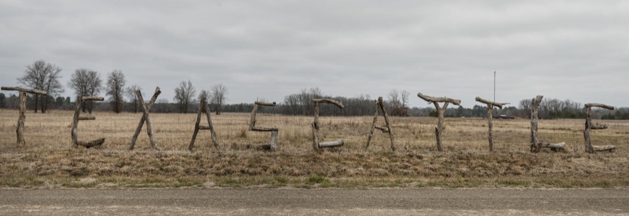

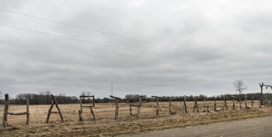
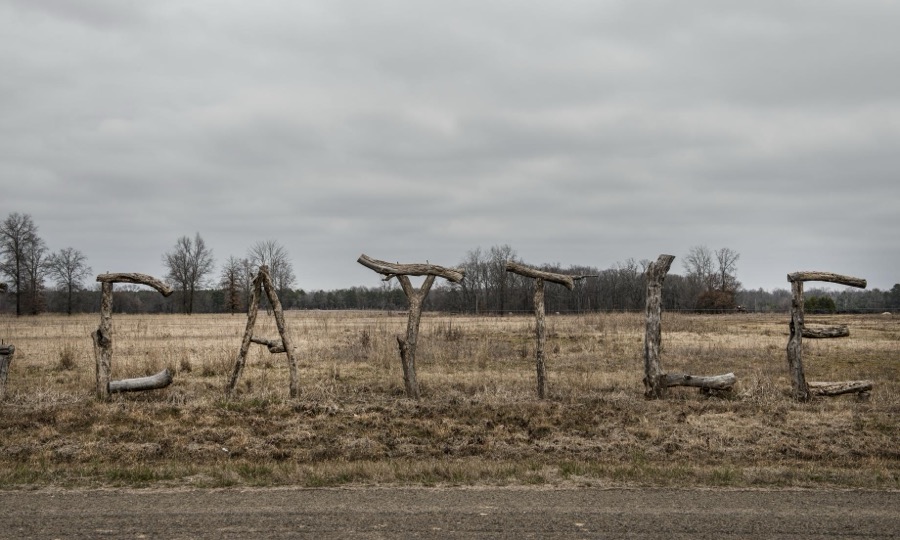
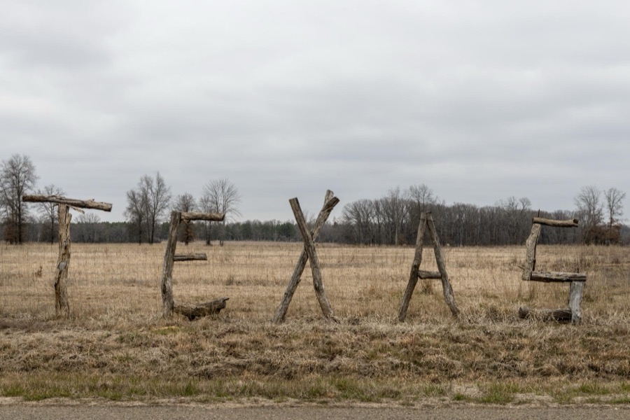

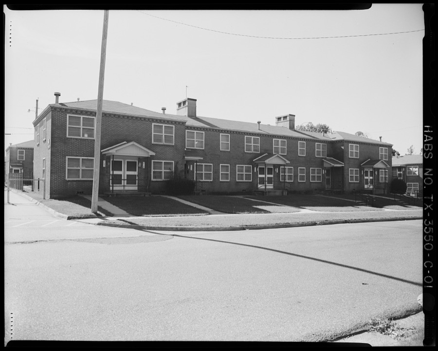
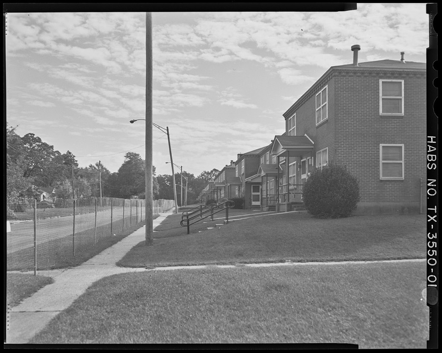
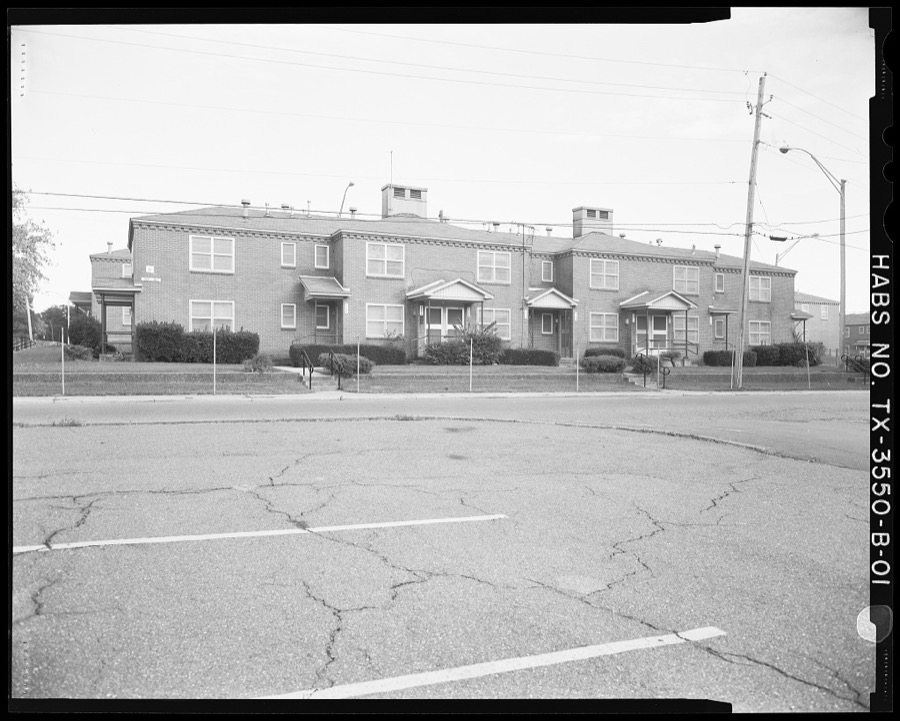
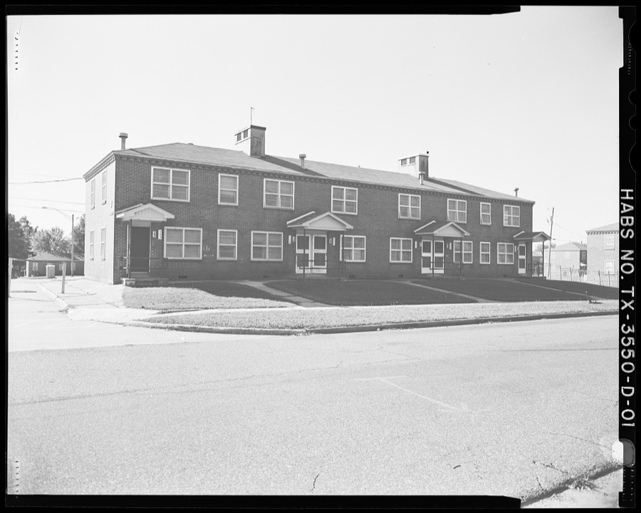
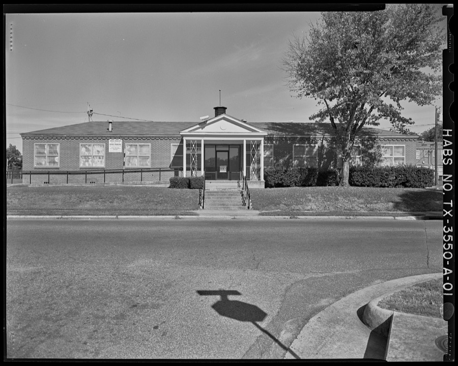
Every property in this county listed on the National Register of Historic Places, with the year it was listed and the federal nomination document.
| Photograph | Property | Type | Listed | Reference |
|---|---|---|---|---|
| Bowie County Jail | building | 1977 | 77001429 | |
 | Draughn-Moore House | building | 1976 | 76002007 |
 | Earl-Rochelle House | building | 1999 | 99000720 |
| Garland Community School Teacherage | building | 2002 | 02000146 | |
 | Hotel Grim | building | 2016 | 16000348 |
| Hotel McCartney | building | 1979 | 79002920 | |
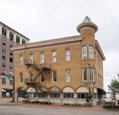 | Offenhauser Insurance Building | building | 1971 | 71000922 |
 | Rialto Building | building | 1982 | 82004493 |
 | Saenger Theater | building | 1978 | 78002897 |
| Texarkana National Bank | building | 2021 | 100006403 | |
| Texarkana National Bank (Motor Bank and Parking Garage) | building | 2021 | 100006491 | |
 | Whitaker House | building | 1979 | 79002921 |
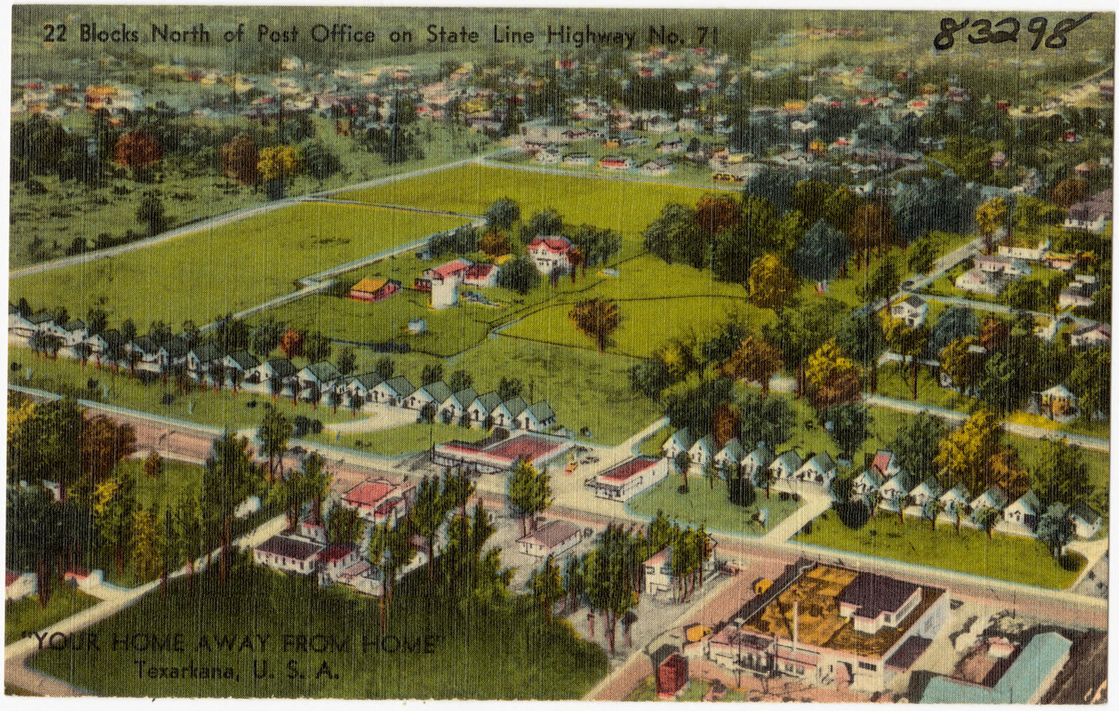
Drawn when these were printed as single large sheets: the town seen from the air, and the county divided into its farms with every owner named. Each opens the original at the Library of Congress.



Selected from the Digital Public Library of America's 21 image records catalogued for this county. Every one shown here carries a public-domain status or a licence that permits reuse on a site that carries advertising; non-commercial, share-alike and restricted images are excluded. The selection is spread across the county's towns (at most eight per town), so no single institution's bulk upload crowds out the rest. Each opens the holding library's record, and the complete set at the Digital Public Library of America is one click away.


















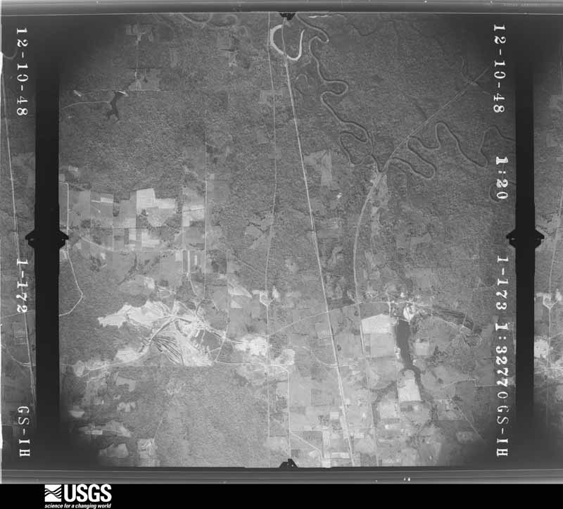
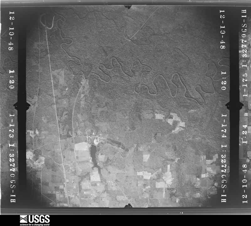
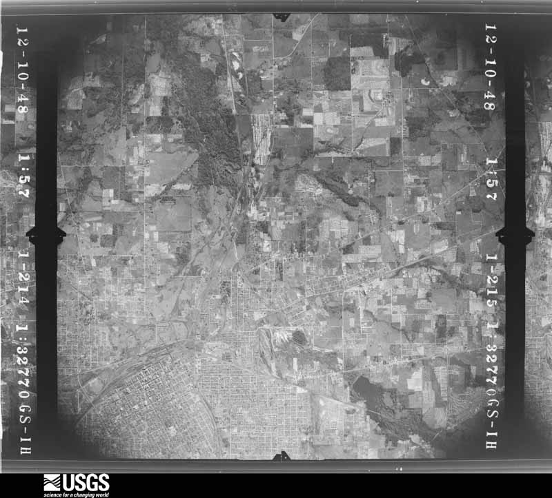
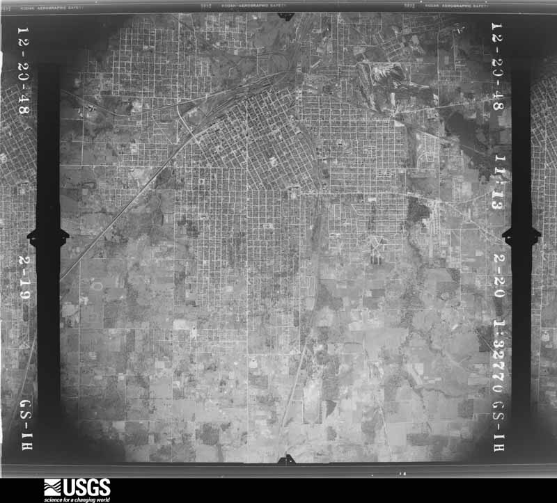
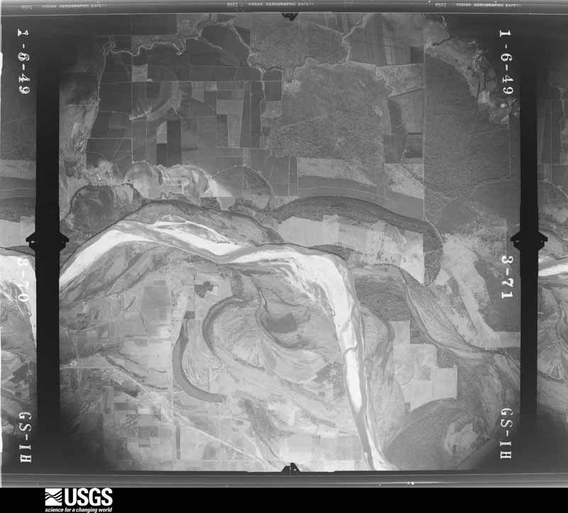
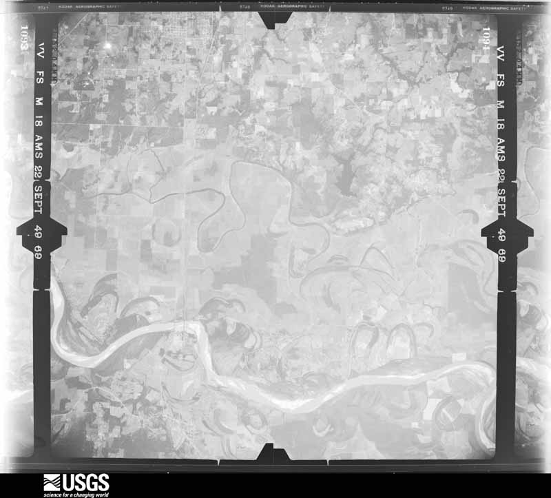
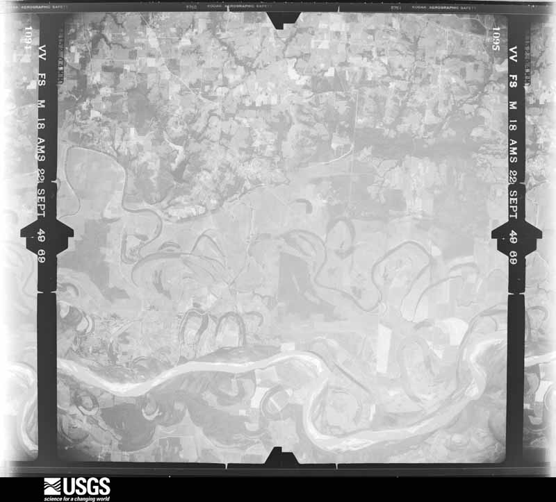
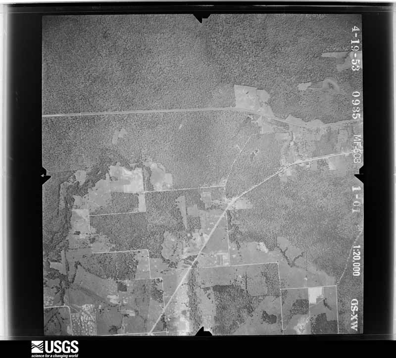
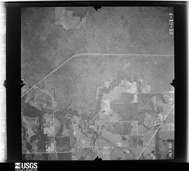
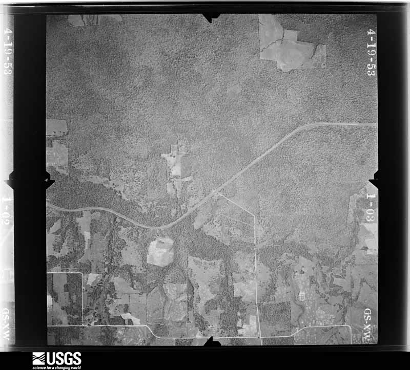
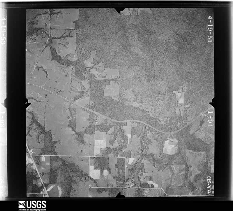
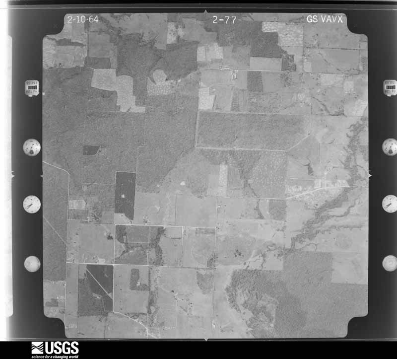
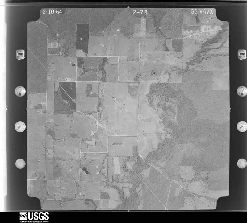
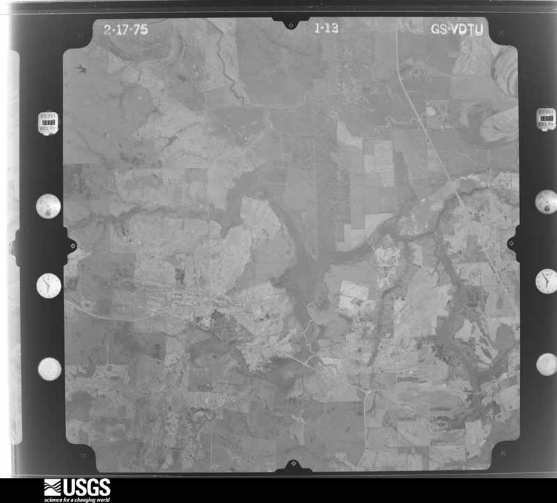
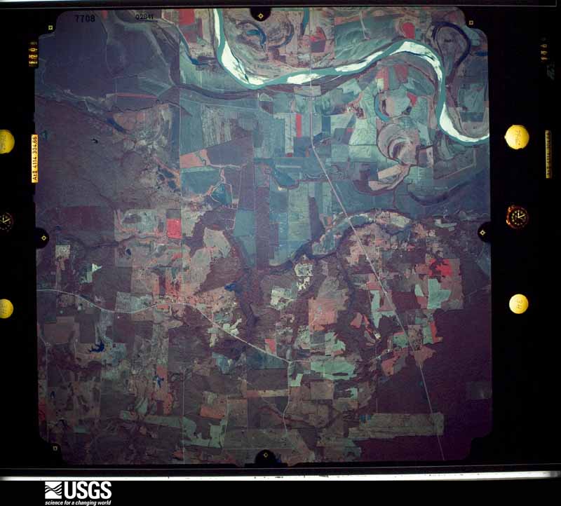
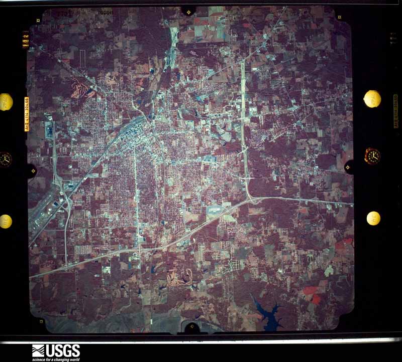
Flown by the U.S. Geological Survey between 1937 and 1989, the Aerial Photo Single Frames collection is the definitive mid-century view of the land: fields, roads and rivers as the camera saw them. The Survey holds 1,264 frames inside the rectangle that bounds this county; the 34 frames below were taken over the county itself, chosen across the decades of flights (at most four a year from that rectangle), so one flight cannot crowd out the rest. The full set is free to browse and download at EarthExplorer under the dataset Aerial Photo Single Frames.


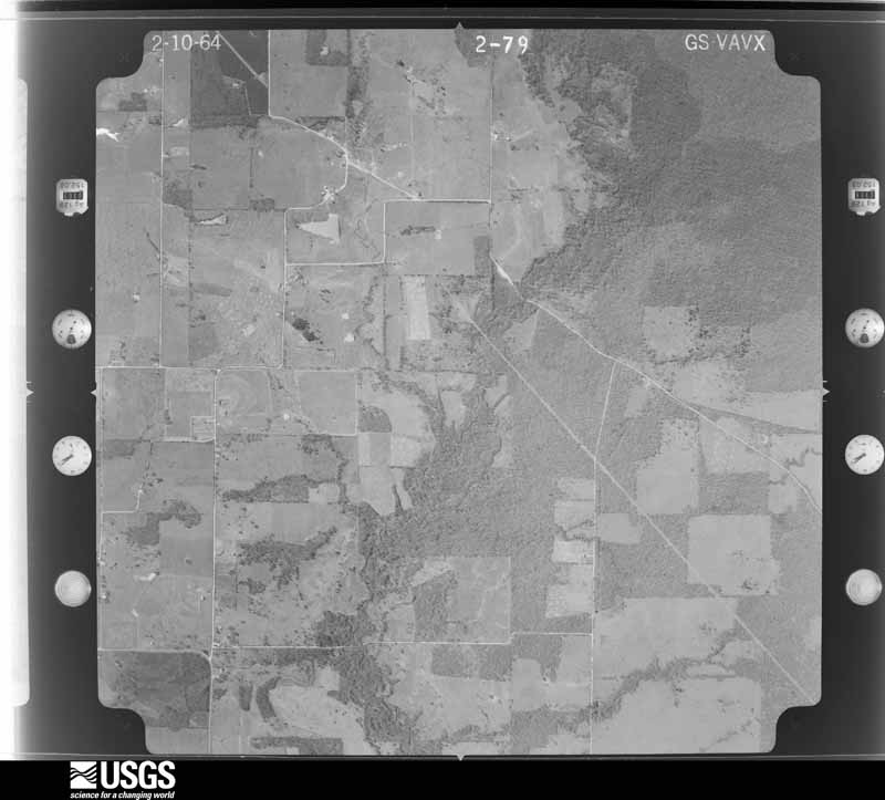
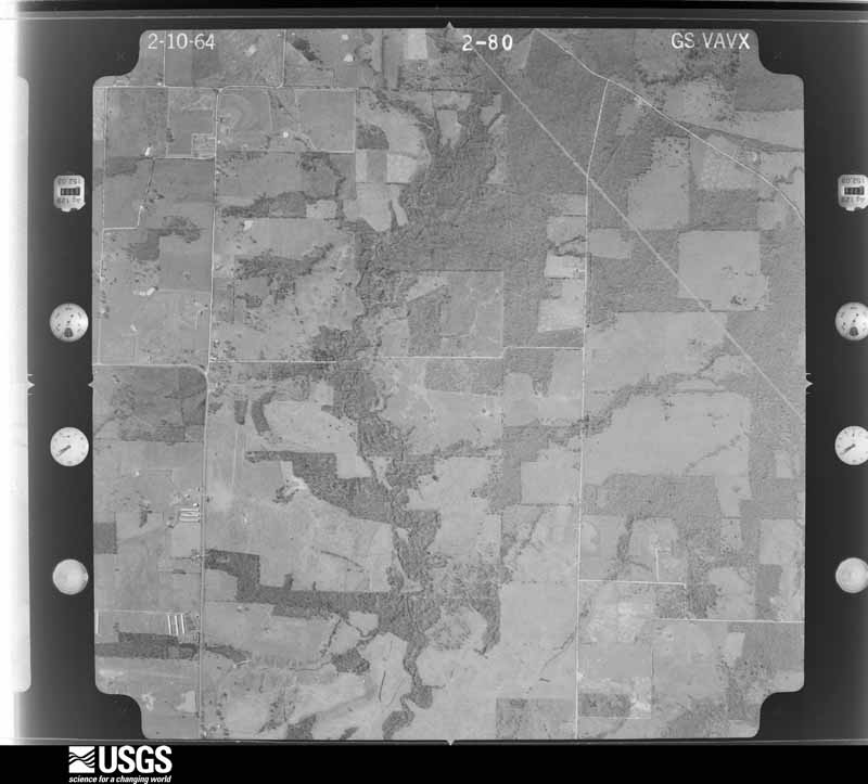

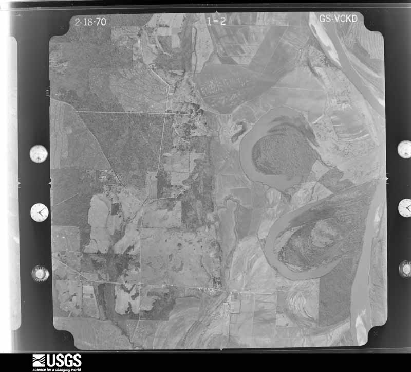
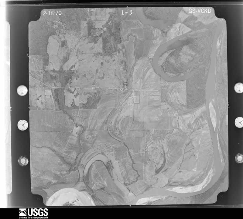
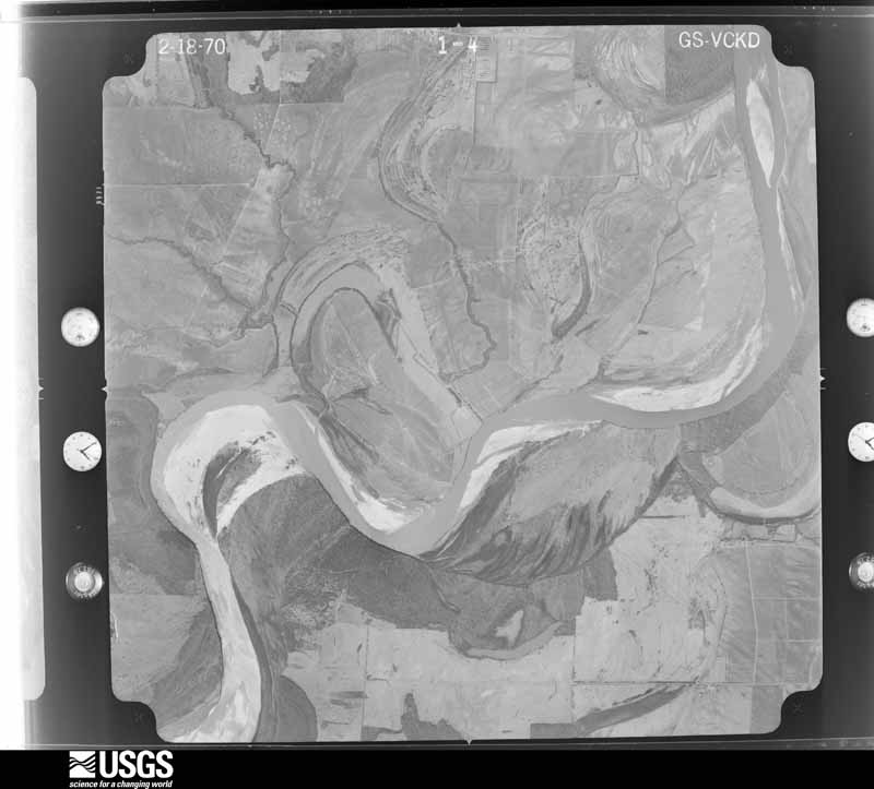
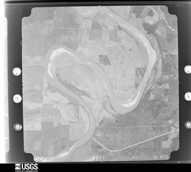
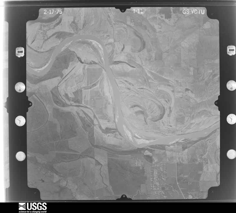
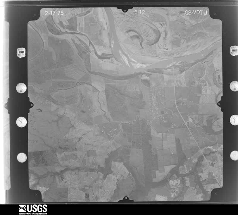







The thermometers that kept this county's weather, and the gages that measured the flow of its streams, as the federal records hold them. The extremes below are measured values from those records, not estimates.
Who lived here in 1950, one enumeration district at a time, as the Census Bureau described each district. Each row opens its official National Archives result, with Population Schedules and ED Maps available there.
Every wildfire the federal occurrence database records inside this county: 2,178 of them, burning about 24,643 acres. 44 started naturally and 265 were recorded as arson. Each settlement page carries the fires within five miles of it.
| Reported cause | Fires |
|---|---|
| Debris and open burning | 1344 |
| Missing data/not specified/undetermined | 285 |
| Arson/incendiarism | 265 |
| Equipment and vehicle use | 116 |
| Power generation/transmission/distribution | 45 |
| Natural | 44 |
| Misuse of fire by a minor | 21 |
| Recreation and ceremony | 19 |
| Railroad operations and maintenance | 16 |
| Smoking | 16 |
| Fireworks | 4 |
| Other causes | 3 |
The five largest, by the area the report gives. Three of them were set deliberately.
| Date | Cause | Size | Reported by | Name on the report |
|---|---|---|---|---|
| 31 August 1999 | Equipment and vehicle use | 1,850 acres | Texas A & M Forest Service | not named |
| 18 November 2007 | Arson/incendiarism | 740 acres | Texas A & M Forest Service | LINDEN - 189 S CURVE FIRE |
| 7 October 2011 | Equipment and vehicle use | 665 acres | Texas A & M Forest Service | SPRINGHILL FIRE |
| 25 November 1995 | Recreation and ceremony | 354 acres | Texas A & M Forest Service | not named |
| 14 February 2015 | Arson/incendiarism | 270 acres | Texas A & M Forest Service | VALENTINE FIRE |
| 2 March 2006 | Debris and open burning | 263 acres | Texas A & M Forest Service | BAGWELL |
| 2 March 2009 | Arson/incendiarism | 250 acres | Texas A & M Forest Service | LINDEN - 94 |
| 22 December 2019 | Missing data/not specified/undetermined | 205 acres | Texas A & M Forest Service | BASSETT |
Every settlement page carries the fires within five miles of it - see the settlement index below.
The NOAA Storm Events Database holds 852 reports for this county, causing 2 deaths, 56 injuries and about $271,760,860 in recorded property damage. Each settlement page carries the reports that name it.
| Kind of event | Reports |
|---|---|
| Thunderstorm Wind | 366 |
| Hail | 324 |
| Flash Flood | 83 |
| Tornado | 59 |
| Funnel Cloud | 8 |
| Lightning | 7 |
| Flood | 5 |
The most serious of them, by death, then injury, then recorded damage. The accounts are quoted exactly as the forecast office filed them.
| When | Event | Place named | Harm | What the report says |
|---|---|---|---|---|
| February 1950 | Tornado (F2) | not stated | 1 killed, 8 hurt, $25,000 | no account filed |
| March 1971 | Tornado (F4) | not stated | 1 killed, 5 hurt | no account filed |
| May 1999 | Tornado (F3) | De Kalb | 22 hurt, $125,000,000 | This tornado moved directly through the downtown district of De Kalb and across a high school. Numerous homes and businesses were severely damaged or destroyed. The high school suffered severe damage. Sirens sounded 15 minutes prior to arrival of the storm. The damage resulted in a Presidential Disaster Declaration. This tornado moved from Red River county, TX across Bowie county, TX into Little River county, AR. |
| April 1973 | Tornado (F2) | not stated | 8 hurt, $2,500,000 | no account filed |
| November 1983 | Thunderstorm Wind | not stated | 4 hurt | no account filed |
| May 1998 | Flash Flood | Texarkana | 2 hurt, $1,100,000 | Excessive rain over a short period of time caused numerous flooding problems across the city. Cars were stranded and stalled with several underpasses flooded. A 21 year old woman was critically injured when her car was swept off a road into a drainage ditch. A 20 year old man riding with her managed to pull himself free of the vehicle by grabbing onto a branch hanging over the ditch. An estimated 500 residents were evacuated from their homes including 50 residents of a Texarkana, TX nursing home. |
| April 1982 | Tornado (F3) | not stated | 2 hurt, $250,000 | no account filed |
| October 1992 | Thunderstorm Wind | not stated | 2 hurt | no account filed |
| April 2008 | Tornado (EF2) | Red Spgs | 1 hurt, $1,000,000 | Most of the tornado damage was north of interstate 30 with some structures showing EF2 damage. In particular, the cinderblock and brick lawnmower business just north of Hwy 82 was completely destroyed with roofing debris and lawnmower parts thrown to the west and north of the building location. A brick home several hundred yards from the lawnmower business sustained significant damage to its roof and exterior walls. A metal shop building built with large metal I-beams was completely destroyed. I-beams were twisted and thrown in a northerly and westerly direction up to 200 yards from the building location with concrete still attached. The trees between the large metal building and the interstate were uprooted or snapped in a convergent pattern...indicative of tornadic winds. In total...12 structures were damaged or destroyed between Hwy 82 and the interstate and numerous trees were downed. Three tractor trailers were flipped on interstate 30 which resulted in the interstate being shut down and there was one injury. Further south of Hwy 82 on the Lonestar Army Ammunition Depot, numerous trees were snapped or uprooted and damage to parts of the Depot were reported...although it was not surveyed. North of interstate 30 along the service road...an outbuilding sales business lost several buildings and had many others damaged. Along Farm to Market 2253, numerous trees were snapped and uprooted on either side of the road and several sheds and barns were damaged or destroyed. A greenhouse was severely damaged near the end of the track. Some homes were also damaged from fallen trees. |
| May 2008 | Thunderstorm Wind | Texarkana | 1 hurt, $1,000,000 | Two severe thunderstorms came together over the south side of the city. One severe storm was moving northeastward from southern Bowie County while the other was moving northwestward through Miller County. Both storms collided in an area just south of downtown Texarkana. As a result of the collision, the storm cores collapsed in an area just east of State Line Avenue over a several block area between 16th and 20th Streets. Numerous large trees were snapped or uprooted onto homes and cars in the Glendale Subdivision. As the survey expanded outward to the north near 24th Street and the Woodlawn Cemetery, trees were noted to have fallen in a north or northeastward direction typical of a microburst. Damage was found as far northeast as the Calvary Cemetery area with trees downed in a north to northeast direction. Trees were also uprooted and snapped on the Texas side of State Line Avenue with a heavier concentration along Magnolia Street between 24th Street and 30th Streets. It was noted that the trees fell in a northwesterly direction which would be expected if a microburst had occurred to the south and east of those locations. Numerous homes were damaged on the Texas side of State Line Avenue as a result. Powerlines were also downed throughout the area as a result of either poles snapping or trees falling on the lines. The area impacted by the microburst is approximately 3.5 miles long to the northeast of the origin and 4 miles in width from one end of the damage swath to the other. City and County officials estimate that 44 homes sustained major damage with an unknown number of vehicles damaged. At least 100 damage reports have been collected thus far. Only one minor injury occurred when a tree fell on a home injuring an elderly woman inside. |
| July 2008 | Lightning | Carbondale | 1 hurt | A 21 year old male was struck by lightning in the community of Simms, Texas. The man was working on an oil rig when lightning struck the oil derrick. The man was treated at a local hospital from burns but was released. |
| March 2008 | Hail | Whatley | $120,000,000 | Fire department reported that car windows and sky lights and the roofs of many homes throughout the city were damaged from this devastating hail storm. Preliminary monetary estimate at the time of this publication was near 90 million dollars with local emergency management officials saying this amount would likely increase. |
| November 2022 | Tornado (EF3) | Bassett | $7,000,000 | The supercell thunderstorm which produced a second tornado ending in northwestern Cass County continued on to the northeast and produced another tornado just north of the Sulphur River in southwestern Bowie County. This tornado was determined to be the strongest one produced by this particular thunderstorm and generated a few spots of low end EF-3 damage in several locations along its nearly 16-mile long path, with estimated maximum winds near 140 mph. This tornado first touched down along U.S. Highway 67 to the southwest of Simms and quickly grew in strength and width after tracking a few miles, briefing reaching a width of nearly a half mile at times. Just west of Simms and continuing northeast just past FM-561, the tornado produced many instances of EF-2 damage to both trees and structures. As the tornado crossed FM-561, there were several structures, a few well built, which had roofs and many walls removed, with 140 mph winds estimated here which were just inside the EF-3 threshold. Additionally, near this structural damage, there was a small section of asphalt road removed from FM-561 and the road debris was thrown into one residence. From there, the tornado then tracked northeast nearly four miles through very rural and uninhabited areas west of Texas Highway 98. The tornado finally moved back over Highway 98 and produced another area of considerable damage at the intersection of Highway 98 and CR-1840. In this area, several structures were largely destroyed, including a few small retail buildings, and this again garnered some high end EF-2 and low end EF-3 ratings with no injuries. After this point, the tornado travelled its final seven miles by crossing the southwestern, then western, and then northern portions of the city of New Boston, before ending just west of Highway 8 north of Interstate 30. Damage to structures and trees in these areas was mostly EF-1 caliber, although considerable damage to one or two well-built homes on the western side of New Boston did warrant an EF-2 damage rating. |
| January 2018 | Tornado (EF2) | College Hill | $2,500,000 | An EF-2 tornado with maximum estimated winds around 125 mph touched down along Highway 259 just southwest of Dekalb and tracked northeast across the intersection of County Road 4231 and Farm to Market Road 44. Here, it caused significant damage to a well constructed two-story home shifting it off its foundation, and significantly damaging eight chicken houses, two of which were destroyed. The tornadic storm continued northeast where it crossed County Road 4230 and significantly damaged the Dekalb Water Treatment Plant, before crossing the intersection of Farm to Market Road 990 and Farm to Market Road 1840 where a one-story home had its roof removed and several hardwood and softwood trees were snapped or uprooted. As the tornado tracked across County Road 4228, there were signs of it widening where the snapped hardwood trees and downed power lines were more noticeable. Once the tornado tracked across Highway 82, hardwood trees snapped at its base and significant damage to roofs of a church and nearby one and two-story homes were prevalent. The tornadic storm continued to move northeast across County Road 3201 where numerous hardwood trees were downed and a camper was destroyed. The tornado continued northeast where it crossed County Road 3203, uplifting a metal roof from a home and destroyed seven chicken farm buildings. Once it crossed northeast across County Road 3202, it split and twisted hardwood trees and destroyed an outbuilding before finally dissipating.||In all, 16 single family homes were damaged, 9 suffering minor damage, and 7 with major damage, with 32 mobile homes damaged, 25 suffering minor damage, 4 with major damage, and 3 mobile homes destroyed. The Dekalb Water Treatment Plant suffered about $500,000 in damage, with another $500,000 damage done to the chicken houses that were destroyed, as well to an auto repair shop and a gun shop that were significantly damaged. Approximately 200,000 chickens were killed, and 1 cow was killed as well. |
| March 2008 | Thunderstorm Wind | Old Boston | $2,000,000 | Straight line winds over a 6 mile stretch and up to 2 miles wide caused major damage in and around the Old Boston, Texas community 5 miles south of New Boston, Texas. Several hundred large trees were snapped or uprooted and some of these fell on homes and businesses. Numerous powerlines were downed as a result and roof damage was common throughout the community. Damage was also reported at the Red River Army Depot just east of Old Boston, Texas. |
| June 2015 | Flood | Pine Spgs | $1,400,000 | Excessive heavy rainfall during the month of May resulted in very high water on the Red River bordering McCurtain County in Southeast Oklahoma and Red River and Bowie Counties in Northeast Texas during the entire month of June. Rainfall amounts during the month of May across the Upper and Middle Red River basins of Southern Oklahoma and Northern Texas totaled over 20 inches of rain. The Oklahoma state climatologist reported that May of 2015 was the all time wettest month of any month in state history. Lake Texhoma, a flood control reservoir to the Red River upstream of Arthur City, Texas rose to its highest pool stage on record early on June 1st at 645.66 feet with peak releases of around 140,000 CFS. The Muddy Boggy Creek tributary to the Red River rose to near its flood of record cresting near 55 feet earlier on May 29th with inflows upwards of 70,000 CFS into the Red River. Muddy Boggy Creek crested just shy of the 1990 flood of record with 55.27 feet near Unger, Oklahoma. Other tributaries of the Red River also crested at very high levels during the final week of May and early in June, 2015 below Lake Texhoma including Bois D'Arc and Bokchito Creeks. Finally the Kiamichi River at Hugo Reservoir crested just below a new pool stage record after May 25th and contributed peak releases of near 60,000 CFS as well to the Red River. This excessive heavy rainfall and inflow into the Red River resulted in river levels that eclipsed the flood of May of 1990 at Pecan Point and was just shy of the Red River flood of May of 1908 at Pecan Point. The Red River at Pecan Point north of Dekalb, Texas went above the 24 foot flood stage on May 10th, 2015 and remained above that flood stage through the entire month of June and did not fall below flood stage until until July, 2015. The Red River at Pecan Point north of Dekalb, Texas went above the 30 foot major flood stage on May 24th, 2015 and crested at a stage of 35.0 feet on June 2nd, 2015. This is the 3rd highest crest in recorded history at the gauging location, eclipsed only by the flood of record of 36.0 feet in 1938 and 35.5 feet in 1908. The river fell below the 30 foot major flood stage on June 10th. A secondary rise on the Red River developed because of excessive heavy rainfall once again in the middle Red River Basin from the remnants of Tropical Storm Bill. As a result, the Red River at Pecan Point north of Dekalb, Texas went back above the 30 foot major flood stage on June 22nd and crested at a stage of 32.5 feet on June 24th. The Red River then fell below the 30 foot major flood stage on June 28th. Below Pecan Point north of Dekalb, Texas, the Red River at Index, Arkansas crested at 31.4 feet on June 3rd. This was the 3rd highest flood at Index, Arkansas in recorded history at the gauging location, eclipsed only by the flood of record of 34.4 feet in 1938 and 32.3 feet in 1990. The river fell below the 28 foot major flood stage on June 8th. A secondary rise on the Red River developed because of excessive heavy rainfall once again in the middle Red River Basin from the remnants of Tropical Storm Bill. As a result, the Red River at Index, Arkansas crested again at 26.6 feet on June 27th and fell below the 25 foot flood stage on June 29th. USDA estimated that more than 41,474 acres of pasture land were inundated. In addition, row crop inundation was 27,474 acres with 9,000 acres of wheat, 9,000 acres of soybean, 8,000 acres of corn, 1,000 acres of grain sorghum and 500 acres of rice also inundated across Bowie County. The crop and pasture land losses totaled $28,435,670. County roads, culverts and bridge repairs totaled $1,025,343. Hundreds of livestock having to be evacuated as well. Bank erosion was extreme on the McCurtain County side of the Red River as well as the Red River and Bowie County sides of the river. 200 homes were affected by the flood waters with a total of 45 homes inundated with water. Nearly 40 homes in the Wamba, Texas community alone were damaged by the flood. The United States Highway 259 bridge, Hwy 8 bridge and the Hwy. 71 bridge going over the Red River were closed. U.S. Hwy. 59 north of Interstate 30, Farm to Market Roads 559, 1397 and 2253 were also closed. |
| March 2008 | Hail | Nash | $1,000,000 | Hail broke out windows at the Alumax Plant at interstate 30 and Nash. |
| May 2003 | Hail | Maud | $880,000 | Numerous home and car windows broken. Roofs were torn open. Vegetation flattened and trees stripped for a several mile area. |
| March 2008 | Tornado (EF1) | New Boston | $750,000 | An EF1 tornado touched down 4 miles southwest of Hooks, Texas at the Red River Army Depot. Trees were downed and snapped. An outbuilding was destroyed, and a security guard shelter was pushed over. The intermittent tornado then moved northeast and crossed Interstate 30 where it knocked trees down on a house and damaged and destroyed several campers at a camper sale store on the interstate. Some of the main building was also damaged. |
| March 2025 | Tornado (EF1) | Dalby Spgs | $500,000 | This QLCS-embedded EF1 tornado began along U.S. Highway 259 in southwest Bowie County and moved east northeast across County Road 4307, Interstate 30, County Road 4210, County Road 4230, and Farm-to-Market Road 561, damaging numerous trees. Most of the trees were either uprooted or snapped with several large limbs being downed on power lines. As the tornado continued northeast, it removed most of the metal roof covering from a house at the intersection County Road 4206 and County Road 4204. More tree damage was noted as the tornado crossed County Road 990, County Road 4121, County Road 4122, and County Road 4120. More tree damage occurred along Highway 98, County Road 4015, County Road 4011, and County Road 4116. At the Barry B. Telford Unit, a large metal building system on the southeast side of the prison property was destroyed when the metal frame was pulled free from its anchors. Three camper trailers in the prison's RV park were overturned and destroyed. The tornado continued northeast, breaking more large softwood limbs along FM Road 1840 and Highway 8 in the southern portion of New Boston where it finally lifted. The tornado had a maximum width of 580 yards and tracked nearly 19 miles. |
| May 2016 | Thunderstorm Wind | Nash | $300,000 | Widespread wind damage started approximately one mile east northeast of Hooks and continued almost to Leary. Several trees were snapped and uprooted. A number of homes lost shingles, with one mobile home losing an entire roof structure suspended over the home. Several outbuildings were damaged or destroyed. The damage path continued east towards Texarkana, with some of the most concentrated damage occurring along Farm to Market Road 2148, County Road 2213, North Kings Highway, and along Interstate 30 between Leary and Nash. Numerous very large hardwood trees were snapped and uprooted. One very large tree fell onto a house causing major damage to the structure. The front face of a paint store was blown away when the winds hit two pillars of the facade which extended several feet above the roof and was completely exposed to the high winds. |
| March 1983 | Tornado (F2) | not stated | $250,000 | no account filed |
| April 1982 | Tornado (F3) | not stated | $250,000 | no account filed |
| March 1981 | Tornado (F1) | not stated | $250,000 | no account filed |
| November 1977 | Tornado (F3) | not stated | $250,000 | no account filed |
| January 1975 | Tornado (F2) | not stated | $250,000 | no account filed |
| April 1975 | Tornado (F2) | not stated | $250,000 | no account filed |
| May 2003 | Tornado (F2) | De Kalb | $200,000 | A violent thunderstorm moved rapidly southeast across McCurtain County, OK into Bowie County, TX and Cass County, TX. This thunderstorm also produced a strong microburst in McCurtain County southwest of Idabel, OK and again southeast of Maud, TX, located in Bowie County. Numerous trees and limbs were snapped or pushed over along the entire track. Several homes, mobile homes, barns, garages, and outbuildings were either damaged or destroyed. The primary damage from this event occurred southeast of Maud, TX and was also associated with a microburst with wind speeds approaching 100 mph. The microburst occurred along the east side of the tornado track. |
| January 1999 | Flash Flood | Texarkana | $166,000 | Reports of cars floating off highways in town. West 70th was flooded and closed. FEMA declared a disaster area. |
| May 2009 | Flash Flood | Liberty Hill | $150,000 | Numerous city and county roads in and around New Boston, Texas were flooded from excessive heavy rainfall. Two homes were flooded by three to four feet of water on Lacy Street in Hooks, Texas. |
| May 2016 | Thunderstorm Wind | Hooks | $125,000 | Widespread tree damage occurred along Garden Road in Hooks. Several trees were uprooted here, one tree fell on a home, and another fell on a vehicle. |
| August 2011 | Thunderstorm Wind | Malta | $100,000 | Several trees and powerlines were downed in and near the community of Malta near County Road 3103. The winds destroyed one 180x50 steel frame shed, one 12x12 wood frame shed, one 20x40 horse covered stall, one 8x8 well house and one 40x60 pole barn. There were no injuries reported. |
| October 2009 | Flash Flood | Eylau | $100,000 | Water flooded several homes in the Liberty Eyleau community. In addition, nearly 14 city streets were flooded in the community. |
| July 2024 | Tornado (EF1) | Wake Vlg | $75,000 | An EF-1 tornado with estimated maximum winds near 90 mph touched down between King and Celeste Avenues just north of Highway 82 on the Texas side of Texarkana, where several hardwood and softwood trees were uprooted, and large limbs were snapped. While some structural damage was noted along the tornado's track, it was primarily attributed to falling trees and limbs onto buildings and vehicles. There were a few instances though where the tornadic winds lifted the roofing off of two homes and an older retail building. The tornado lifted shortly after entering Beverly Park. |
| November 2009 | Tornado (EF1) | New Boston | $75,000 | An EF1 tornado briefly touched down in New Boston, Texas along Pearly Street. A mobile home was destroyed and 4 other homes sustained moderate to major damage. Several trees were uprooted. The tornado crossed Interstate 30 and quickly dissipated. |
| October 2014 | Thunderstorm Wind | Maud | $60,000 | Damaging thunderstorm wind gusts resulted in a roof being blown off a house and the siding ripped off the southwest side of a building on Broadway Avenue in Maud, Texas. A large doughnut sign was also shifted from a fixed position on top of an eatery in Maud. |
| April 2012 | Thunderstorm Wind | Nash | $60,000 | Trees were downed on houses in the Nash and Wake Village areas. Another tree was downed on a car in the Liberty-Eylau community. |
| April 1999 | Thunderstorm Wind | Texarkana | $60,000 | Several trees down including a tree across a home. Several mobile homes were also damaged. |
| June 1997 | Thunderstorm Wind | Hooks | $60,000 | Strong straight line winds downed numerous trees and power lines producing widespread power outages. The wind uprooted a sycamore tree which fell through a home. An above ground swimming pool was shoved 75 while a swing set was twisted beyond repair. A storage shed was also ripped apart. A gas company shed was also destroyed. |
| March 2025 | Tornado (EF1) | Hodgson | $50,000 | This EF1 tornado was the continuation of a tornado that began in Red River County. Upon exiting Red River County, the tornado continued east toward the town of New Hope, continuing to produce extensive tree damage in the form of snapped trunks and uproots. After moving east of New Hope, the tornado followed along County Road 4303 toward Hubbard, eventually crossing Farm-to-Market Road 1840 before heading toward the town of Malta. The tornado crossed U.S. Highway 82 near Malta and continued east northeast for a few more miles, before eventually lifting near the intersection of County Road 3014 and FM Road 3378. The tornado tracked nearly 17 miles across western and northwestern parts of Bowie County with a maximum width of 850 yards and estimated peak wind speeds of 100 mph. |
| January 2018 | Tornado (EF0) | Liberty Hill | $50,000 | An EF-0 tornado with maximum estimated winds around 80 mph touched down along County Road 3109 where it damaged the roof of a one story home. This tornadic storm traveled northeast where it damaged the roof of Liberty Hill Church located along County Road 3109. The tornado also uprooted several hardwood trees before dissipating along Highway 992. |
| December 2015 | Thunderstorm Wind | De Kalb | $50,000 | A NWS Storm Survey team determined that damage along the west side of Dekalb, Texas was consistent with that of rear flank storm damage. This rear flank was the remaining remnant of a tornado that touched down earlier west of this location. The rear flank downdraft caused sporadic damage in the city of Dekalb, Texas. Several trees were uprooted. Numerous homes withstood light shingle damage. A light pole at the city park was snapped and the metal roof from one of the downtown buildings was lifted off. |
| May 2009 | Flash Flood | New Boston | $50,000 | Numerous city streets were flooded and closed. Floodwaters from the city's water system backed up which resulted in the local Scout Hutt at Tapp Park in New Boston being innundated by three feet of water. |
| October 2009 | Thunderstorm Wind | Redwater | $50,000 | Trees reported downed throughout the county. There was one indirect injury south of New Boston, Texas when the driver of an 18-wheeler had to be taken to the hospital after his rig struck a downed tree on Texas highway 8. |
| April 2008 | Thunderstorm Wind | Eylau | $50,000 | Large tree was downed on a mobile home on George Thomas Road in the Liberty Elyau community. Woman and child were rescued from the mobile home with no injuries reported. Trees were also downed across South State Line Road. |
| June 2004 | Thunderstorm Wind | Texarkana | $50,000 | Trailer homes damaged by high winds along Hwy 67 in the community of Liberty Eylau. |
| April 2001 | Flash Flood | New Boston | $50,000 | Flooding rains led to numerous road closures including Hwy 8 and Hwy 82. Water was high enough to flood 5 homes in town. |
| May 1994 | Thunderstorm Wind | not stated | $50,000 | Numerous trees were blown down along Highway 8 near the Red River Bridge. |
| June 1994 | Thunderstorm Wind | Texarkana | $50,000 | Wind gusts to 65 miles per hour uprooted trees and blew the roof off a house. |
| May 1993 | Thunderstorm Wind | New Boston | $50,000 | Thunderstorm winds destroyed a barn. |
| November 1993 | Thunderstorm Wind | De Kalb | $50,000 | Thunderstorm winds damaged roofs, broke windows, and downed trees. |
| April 1993 | Thunderstorm Wind | Texarkana | $50,000 | Thunderstorm winds rolled a mobile home and blew down some trees. |
| May 1993 | Tornado (F1) | Dekalb | $50,000 | One home destroyed, minor roof damage to 60 homes most due to falling trees, roof damage to an apartment complex, and some businesses received damage. There was also some damage to a nursing home. The tornado was accompanied by 90 mile an hour straight line winds. |
| April 1993 | Thunderstorm Wind | several trees were bl | $50,000 | Four mobile homes were rolled over and damaged and numerous trees blown down by thunderstorm winds. |
| May 2016 | Thunderstorm Wind | Hooks | $40,000 | Widespread tree damage occurred just east northeast of Hooks. Several trees were uprooted, all of which pointed to the south southeast. One tree landed on a corner of a house. |
| December 2012 | Thunderstorm Wind | Victory City | $40,000 | A tree fell on a home in Leary, Texas. There were no reports of injuries. |
| June 2012 | Thunderstorm Wind | Texarkana | $40,000 | Thunderstorm wind gusts peeled back the roof of an apartment complex off of Main street in Texarkana, Texas. |
| June 2012 | Thunderstorm Wind | Texarkana | $40,000 | Numerous trees down in the Liberty-Eylau community including one that fell on a home on Macedonia Street. A tree also fell on a barn off of County Road 2516 at the end of Ryan Loop Road. |
| June 2003 | Thunderstorm Wind | Texarkana | $40,000 | Trees fell across a house causing moderate damage. |
| January 1999 | Tornado (F1) | New Boston | $40,000 | A tornado touched down near the 700 block of Anderson St. and traveled northeast across Texas Hwy 8 then onto I-30 and lifted. Damage: The Bostonian Motor Inn, EZ-Mart convenience store, construction site of a new Ford Dealership and one house. All damage was minor. A piece of sheet metal 22 x 27 feet was ripped from the roof of the Bostonian Inn and thrown into a car. A window was shattered, ceiling tile damaged, and store merchandise damaged at the E-Z Mart. Scaffolding at the Ford Dealership toppled onto a pickup truck breaking the front window and crushing the hood. A construction trailer was set upside down in its original spot. Numerous eye witness and photographed by the New Boston Citizen Tribune. |
The Survey's mineral resources record lists 14 workings inside this county. 4 still produce and 10 are closed or unrecorded. Each settlement page carries the workings within five miles of it.
| Commodity | Workings |
|---|---|
| Sand and Gravel, Construction | 10 |
| Clay | 2 |
| Sulfur | 1 |
| Iron | 1 |
The least common of them first, because a county's hundredth gravel pit says nothing its first ten did not.
| Where | Site | Commodity | Status | Recorded |
|---|---|---|---|---|
| Natural Gas Pipeline Plant 360 | Sulfur | Producer | ||
| S. W. A. Pits | Iron | Producer | ||
| Dickey | Clay | Unknown | ||
| Texarkana Plant | Clay | Producer | ||
| Bruce Kennedy Pit | Sand and Gravel, Construction | Past Producer | ||
| Bruce Kennedy Pit 1 | Sand and Gravel, Construction | Past Producer | ||
| Bruce Kennedy Pit 2 | Sand and Gravel, Construction | Past Producer | ||
| Bruce Kennedy Pit and Plant | Sand and Gravel, Construction | Past Producer | ||
| Kennedy Crusher | Sand and Gravel, Construction | Producer | ||
| Unknown | Sand and Gravel, Construction | Past Producer | ||
| Unknown | Sand and Gravel, Construction | Past Producer | ||
| Unknown | Sand and Gravel, Construction | Past Producer | ||
| Unknown | Sand and Gravel, Construction | Past Producer | ||
| Unknown | Sand and Gravel, Construction | Past Producer |
Named settlements recorded in the Geographic Names Information System, each with the topographic sheets covering it. Villages, hamlets and abandoned places alike. Each is shown with the nearest named watercourse or landform and the survey quadrangle it falls on. The 2 places that were also surveyed for fire insurance come first, with the number of atlases and photographs held for them.
New Boston census division · 75570 · New Boston quadrangle
14 sheets, 1909 to 1992
Fire insurance: 1 atlas
Texarkana census division · 75501 · On Swampoodle Creek · Texarkana quadrangle
21 sheets, 1909 to 2001
Fire insurance: 10 atlases
Dalby Springs-Simms census division · 75574 · On Kruse Branch · Bassett quadrangle
11 sheets, 1930 to 1992
De Kalb census division · 75559 · Near Jim Jones Hill · De Kalb NW quadrangle
10 sheets, 1950 to 1990
New Boston census division · 75570 · Near Glass Hill · New Boston quadrangle
14 sheets, 1909 to 1992
Hooks census division · 75561 · Near Black Bottom · Redbank quadrangle
11 sheets, 1950 to 1990
Dalby Springs-Simms census division · 75574 · On Rice Creek · Corley quadrangle
13 sheets, 1909 to 1992
Dalby Springs-Simms census division · 75559 · Dalby Springs quadrangle
11 sheets, 1930 to 1992
Dalby Springs-Simms census division · 75574 · On Kruse Branch · Bassett quadrangle
11 sheets, 1930 to 1992
De Kalb census division · 75559 · On Cooper Creek · Hodgson quadrangle
11 sheets, 1930 to 1992
Maud-Redwater census division · 75570 · On Holly Branch · New Boston quadrangle
14 sheets, 1909 to 1992
New Boston census division · 75570 · On Peters Branch · Malta quadrangle
11 sheets, 1930 to 1992
Dalby Springs-Simms census division · 75574 · On Big Branch · Corley quadrangle
13 sheets, 1909 to 1992
Hooks census division · 75561 · Near Black Bottom · Redbank quadrangle
11 sheets, 1950 to 1990
Maud-Redwater census division · 75567 · On Conn Creek · Maud quadrangle
13 sheets, 1909 to 1992
Hooks census division · 75561 · Near Black Bottom · Redbank quadrangle
11 sheets, 1950 to 1990
New Boston census division · 75570 · On Spring Branch · Daniels Chapel quadrangle
11 sheets, 1951 to 1990
No longer a settlement
Maud-Redwater census division · 75501 · On Crutchers Creek · Domino quadrangle
19 sheets, 1909 to 1992
Dalby Springs-Simms census division · 75559 · On Cooper Creek · Hodgson quadrangle
11 sheets, 1930 to 1992
Dalby Springs-Simms census division · 75574 · Dalby Springs quadrangle
11 sheets, 1930 to 1992
The vanished settlements of Bowie County: the places named above that are no longer on the map.
21 topographic sheets and 10 fire insurance atlases, 1885 to 1953
The complete index, with nothing left out. Each of these is a separate record with its own page: a federal survey report, or the case file that argued a property on to the National Register. Both are public domain and reproduced word for word.
The vanished settlements of Bowie County, the places these records name that are no longer on the map.