 Block
BlockToyah, Texas
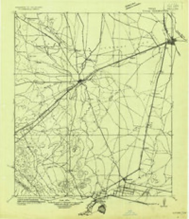
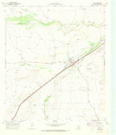
8 topographic sheets cover this place, the earliest surveyed in 1921 and the latest in 1986. It stands in the Pecos census division. It lies in ZIP code area 79785. It lies near San Martine Draw. The Survey maps it on the Toyah quadrangle. 61 people lived here at the 2020 count. It stands 2,913 feet above sea level.
Population over time
2 figuresToyah fell from 90 to 61 between 2010 and 2020. These are the recorded population figures Wikidata holds for this place, reached through the Geographic Names Information System number this page is keyed on rather than by name, so they belong to this place and not to another of the same name. Most are census counts, but not all are: an early figure may be a founding or settlement estimate, and an estimate published within five years of a census is left out. The change column is computed, and is left blank where more than 20 years separate a figure from the one before it, because a gap that long is not a change between two counts.
| Year | People | Change |
|---|---|---|
| 2010 | 90 | |
| 2020 | 61 | -29 (-32%) |
Topographic sheets covering this place
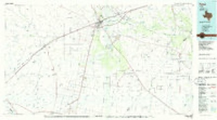
5 surveys from 8 printed sheetsMatched by testing this settlement's coordinate against the published boundary of every sheet in the United States Geological Survey's historical collection. Each opens the scanned sheet at the Survey.
- 1921 USGS Toyah quadrangle1:125000
- 1954 USGS Pecos quadrangle1:250000, 3 printings
- 1957 USGS Pecos quadrangle1:250000
- 1970 USGS Toyah quadrangle1:24000
- 1986 USGS Pecos quadrangle1:100000, 2 printings
Fires near this place
1 since 2007Regional context, not property-specific evidence. The federal wildfire occurrence database lists 1 fire within 5 miles of Toyah in 2007, burning about 1 acre in total. None started naturally. None was recorded as arson. Distance is straight-line from the map coordinates, so a fire counted here may appear on a neighbouring settlement's page as well.
| Reported cause | Fires |
|---|---|
| Equipment and vehicle use | 1 |
The most recent of them, most recent first, with the day each was reported and the service that recorded it.
| Date | Cause | Size | Reported by | Name on the report |
|---|---|---|---|---|
| 27 June 2007 | Equipment and vehicle use | 1.0 acres | Texas A & M Forest Service | not named |
Storms near this place
33 since 1994Regional context, not property-specific evidence. The National Weather Service names Toyah in 33 storm reports between 1994 and 2019: 22 hail, 7 flash flood, 3 thunderstorm wind, 1 tornado. No death or injury is recorded in these reports. Each account below is quoted exactly as the forecast office filed it, from the NOAA Storm Events Database, and each date opens the federal record of that event.
| When | Event | Place named | Harm | What the report says |
|---|---|---|---|---|
| April 2004 | Flash Flood | Toyah | $2,500,000 | A bridge along Interstate 20 just east-northeast of Toyah over the normally dry Salt Draw failed Sunday evening. This failure was the result of fast-moving flood waters originating from previous heavy rainfall over the Davis Mountains. Hydrologists also credited a residual flow of water through the draw from the Toyah dike break early Sunday for contributing to the gradual process that caused the bridge to collapse. Authorities said that advance warning of additional runoff and flooding allowed the interstate to be closed to both eastbound and westbound traffic at the first sign of danger to the bridge. A state official for the Texas Department of Transportation said that 86 feet of roadway in the eastbound lanes fell into the river, and that additional 40-foot segments on each side of the river were also damaged. On the westbound side, one of the upright supports holding the bridge had moved six to eight inches, opening a crack in the roadway. No fatalities were reported with the bridge collapse, however, five indirect fatalities occurred in a multi-vehicle collision along a detour, U.S. Highway 285, south of Pecos. |
| April 2004 | Flash Flood | Toyah | $500,000 | Eight to twelve inches of rainfall resulted in the failure of a protective levee near Toyah. With the failure of this dike, three to four feet of water inundated the town of Toyah and prompted the evacuation of the town's residents. While 19 people in the town of 103 elected to stay through the flood event, the remainder of the town's residents were moved to a Red Cross shelter in the nearby community of Pecos. The extensive flooding in Toyah left virtually every home with flood damage. One home was completely destroyed.Flooding lingered until late afternoon on Sunday, April 4th with State Highway 17 and Farm to Market Roads 2903, 869, and 1450 remaining underwater. |
| April 2004 | Hail | Toyah | $100,000 | no account filed |
| June 2004 | Thunderstorm Wind | Toyah | $30,000 | A 100 year-old bank building in Toyah was destroyed when strong winds affected the community on the evening of the 17th. Radar reflectivity data depicted strong to severe thunderstorms well to the west of Toyah in adjacent Culberson County, however, only light reflectivity returns were indicated in the Toyah area and appeared to be associated with anvil blow-off down wind of the severe storms. The Reeves County Emergency Manager reported winds around 50 MPH when the building was destroyed. These winds were likely associated with outflow from the distant storms. The structural integrity of the historic building may have been compromised by the extensive flooding event which affected the community in early April. |
| March 2007 | Flash Flood | Toyah | $10,000 | The rest area on Interstate 20 at mile marker 25 was flooding and traffic problems were occurring due to flooding along Interstate 20. Street flooding was also experienced in Pecos. Pecos police shut down the intersection of 14th and Cedar Streets, after a motorist was stranded due to high water. A motorist was stranded on Farm to Market Road 1216, six miles south of Interstate 20. Farm to market Road 1934 was also flooded. |
| July 2004 | Hail | Toyah | $10,000 | A second severe storm produced large hail over Reeves County. Multiple reports from the public and the broadcast media indicated pea to golfball size hail fell in Toyah for a twenty minute period. |
| February 1995 | Hail | Toyah | $5,000 | The sheriff's office in Pecos received reports of dime-size hail in Toyah. An off-duty deputy sheriff later reported golf ball-size hail in Toyah. |
| May 1994 | Hail | Toyah | $5,000 | no account filed |
| September 2014 | Flash Flood | Toyah | $500 | Heavy rains across Reeves County produced flash flooding 9 miles south of Toyah on FM 2903 with water over the road along Nine Mile Draw. Damage estimates are very rough. |
| May 2015 | Hail | Toyah | - | A thunderstorm moved across Reeves County and produced nickel sized hail along Highway 285. |
| March 2007 | Hail | Toyah | - | Nickel hail covered the ground in Toyah. |
| October 2005 | Flash Flood | Toyah | - | Flash flooding along San Martine Draw inundated County Road 225 with water. This was reported by the Reeves County Emergency Manager. |
| October 2004 | Thunderstorm Wind | Toyah | - | A linear complex of convection initiated over Reeves County and produced severe wind gusts as reported by both law enforcement officials and trained storm spotters. |
| October 2003 | Hail | Toyah | - | Nickel size hail covered the ground. |
| June 2000 | Flash Flood | Toyah | - | The Reeves County Sheriff's office reported water over Farm to Market Road 869. |
| May 1999 | Hail | Toyah | - | Hail from the northern end of a cluster of storms. Larger hail fell farther south. |
| May 1997 | Hail | Toyah | - | Multicell storms that formed in Delaware Mountains in Culberson County had a severe cell west of Toyah as they moved eastward into richer moisture. |
| June 1995 | Thunderstorm Wind | Toyah | - | Reported by a Skywarn Spotter. |
| February 1995 | Hail | Toyah | - | The sheriff's office in Pecos received reports of dime-size hail in Toyah. An off-duty deputy sheriff later reported golf ball-size hail in Toyah. |
| April 2019 | Hail | Toyah | - | no account filed |
| May 2019 | Hail | Toyah | - | no account filed |
| October 2015 | Hail | Toyah | - | no account filed |
| August 2008 | Hail | Toyah | - | no account filed |
| March 2007 | Hail | Toyah | - | no account filed |
| April 2004 | Hail | Toyah | - | no account filed |
| April 2004 | Hail | Toyah | - | no account filed |
| April 2004 | Hail | Toyah | - | no account filed |
| June 2004 | Hail | Toyah | - | no account filed |
| April 1997 | Hail | Toyah | - | no account filed |
| April 1997 | Hail | Toyah | - | no account filed |
| August 1996 | Flash Flood | Toyah | - | no account filed |
| May 1995 | Hail | Toyah | - | no account filed |
| May 1994 | Tornado (F0) | Toyah | - | no account filed |
Nearest settlements
The eight closest, with where each one stands in the county. Distances are straight-line, computed from the Geographic Names Information System coordinates.
| Map | Place | Distance | Sheets |
|---|---|---|---|
| Hermosa | 9.1 miles | 8 | |
| Gozar | 10.0 miles | 8 | |
| Old House Place | 11.8 miles | 8 | |
| Burchard Place | 13.5 miles | 7 | |
| Lindsay | 14.0 miles | 8 | |
| Lindsay Division Colonia | 14.1 miles | 8 | |
| Hoban | 14.2 miles | 9 | |
| Worsham | 14.3 miles | 8 |
Elsewhere
Matched on this settlement's Geographic Names Information System number rather than its name, so it cannot be a different place of the same name in another state.
| Wikipedia article on Toyah | An encyclopaedic summary. Its text is share-alike, so it is linked here rather than copied. |
| Wikidata item Q978333 | The structured record the population and elevation above come from. Public domain (CC0). |
Provenance
This settlement is recorded in the Geographic Names Information System as feature 1370063. The sheet list is computed by point-in-boundary test against the United States Geological Survey's historical topographic inventory. Both are works of the United States government and carry no copyright under 17 U.S.C. 105.
Wildfire. Short, Karen C. 2022. Spatial wildfire occurrence data for the United States, 1992-2020 [FPA_FOD_20221014]. 6th Edition. Fort Collins, CO: Forest Service Research Data Archive. https://doi.org/10.2737/RDS-2013-0009.6 Collected with United States Government funding and usable without additional permissions or fees.
Storms. NOAA National Centers for Environmental Information, Storm Events Database https://www.ncei.noaa.gov/stormevents/ A work of the United States government, no copyright under 17 U.S.C. 105. Narratives are quoted verbatim from the National Weather Service report and are not edited or summarised.