 Block
BlockReeves County, Texas
53 topographic sheets cover 27 settlements here.
Research this county
What the record shows
- 247 topographic sheet readings cover the county's settlements.
- The Geographic Names Information System records 27 populated places in this county; 27 are covered by at least one topographic sheet.
The county from the air
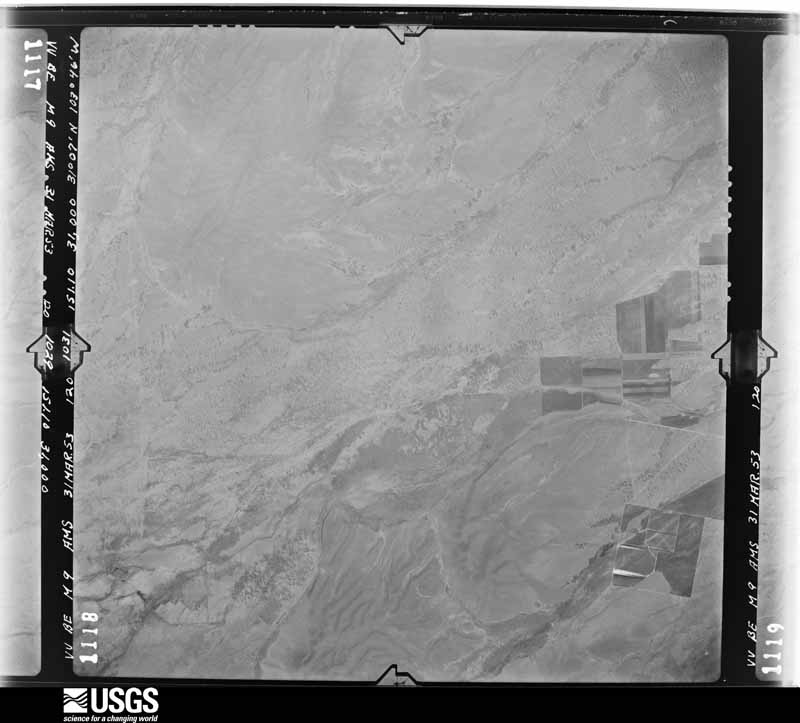
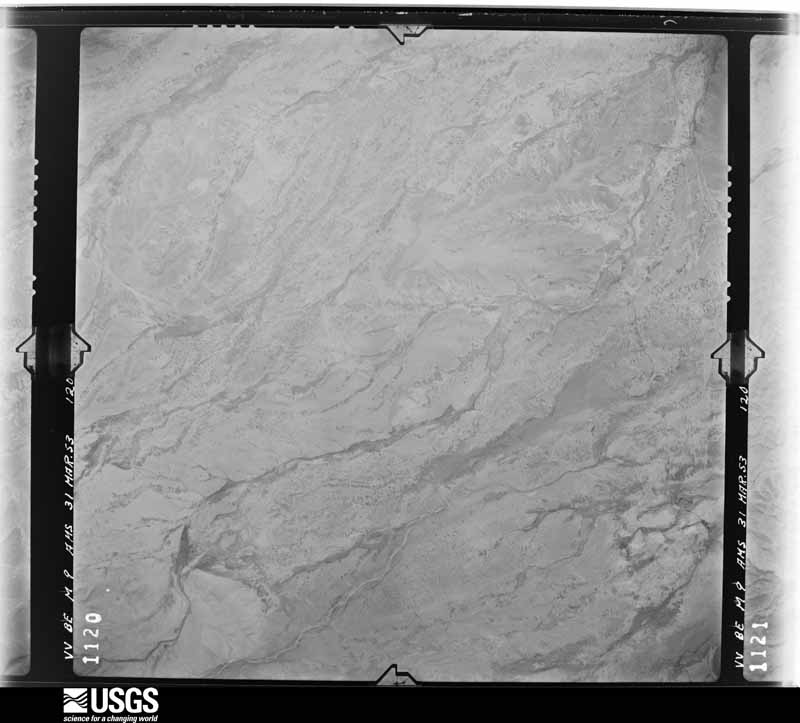
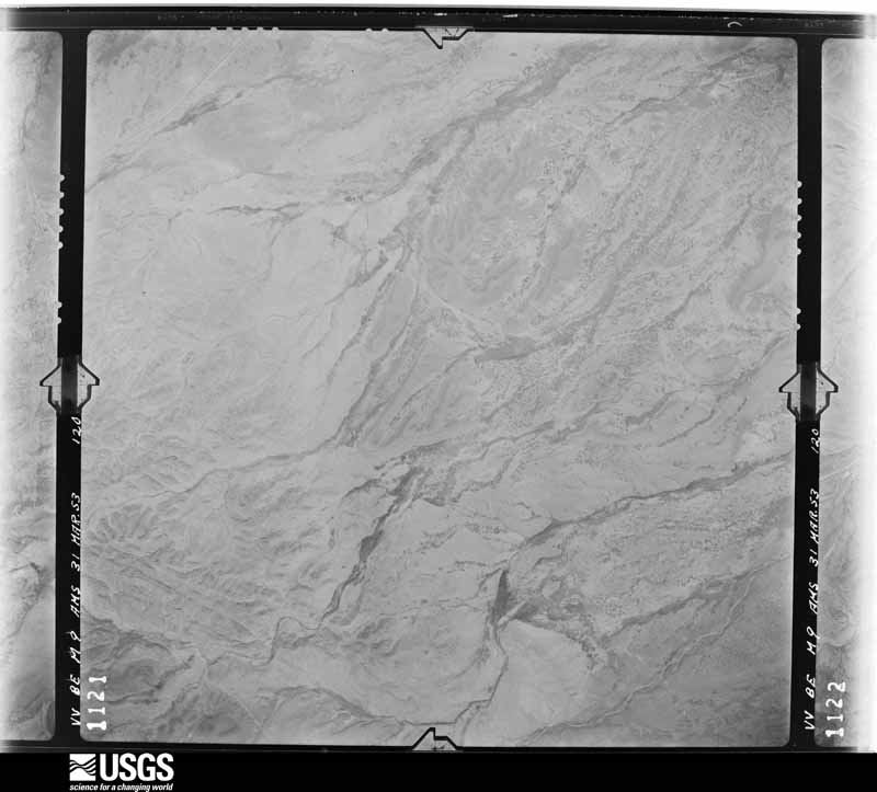
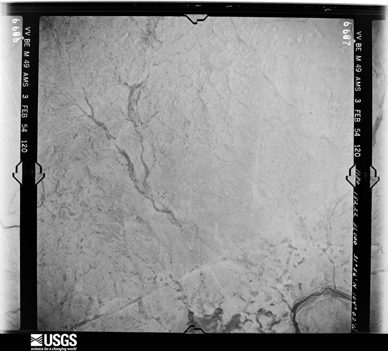
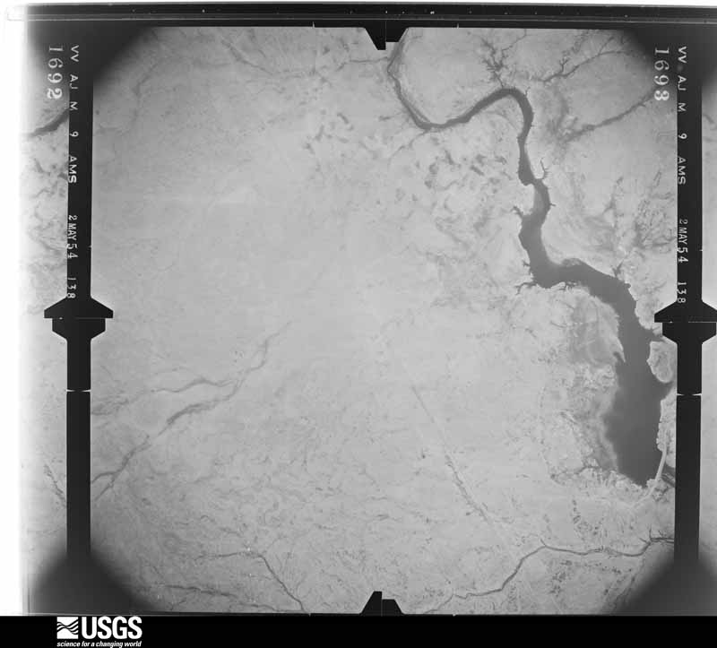
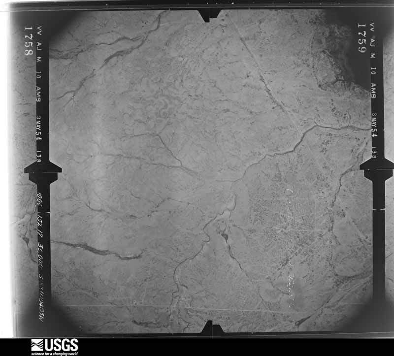
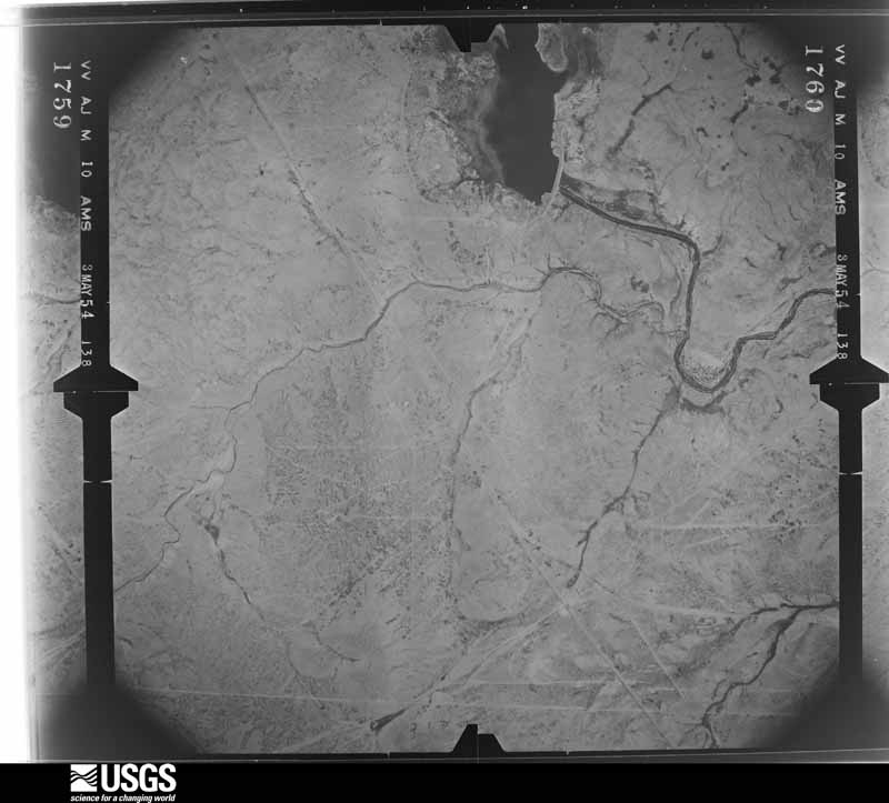
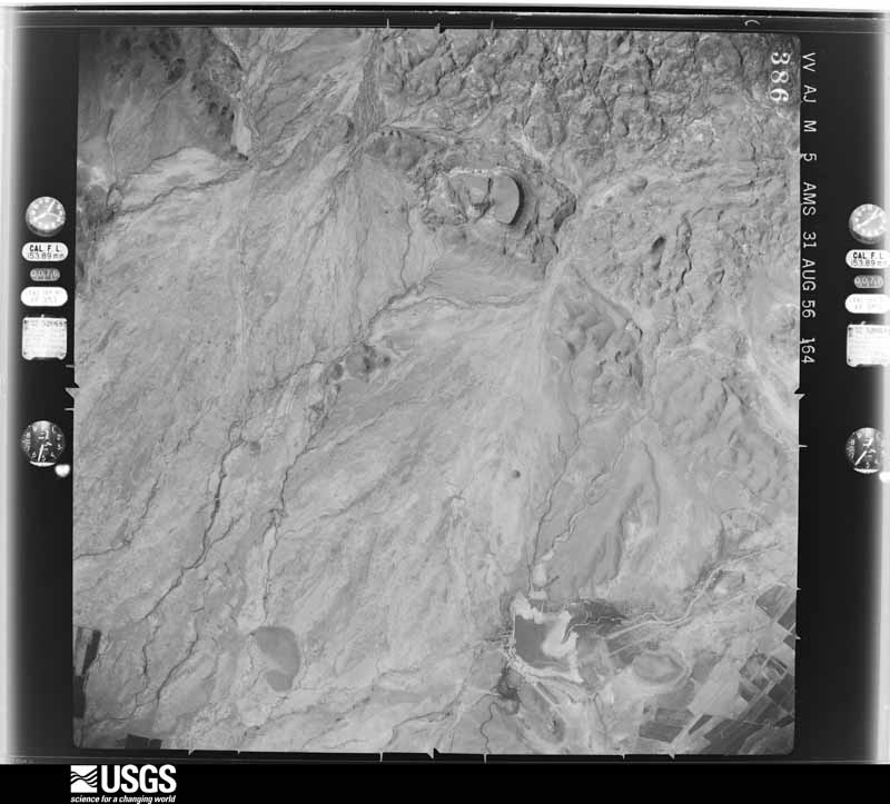
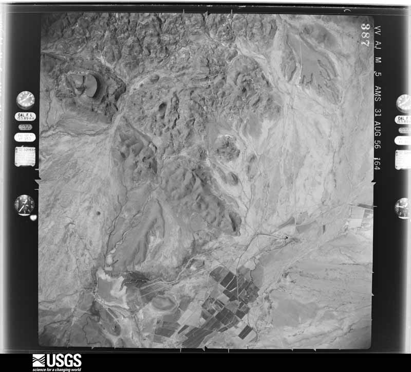
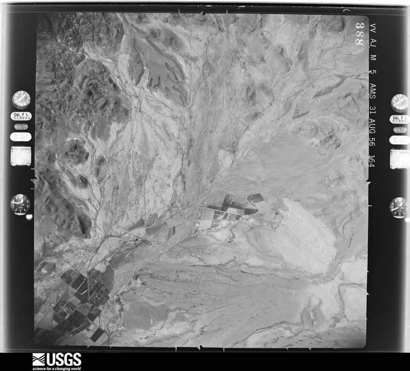
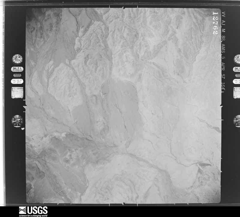
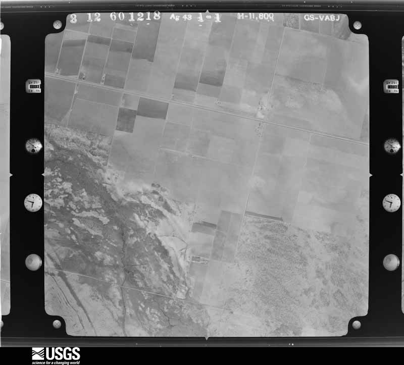
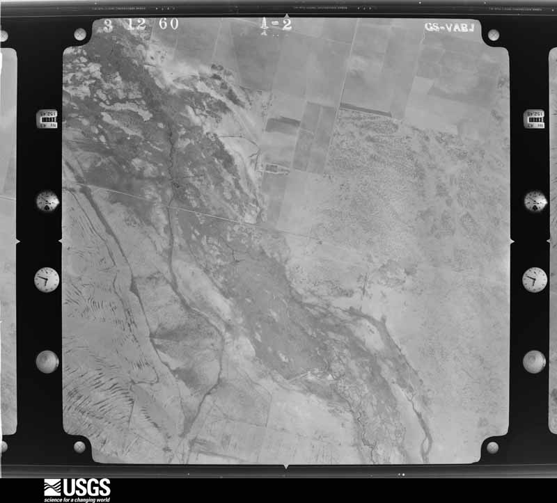
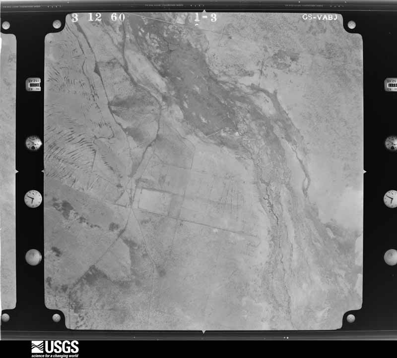
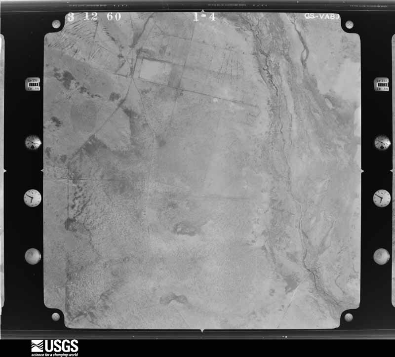
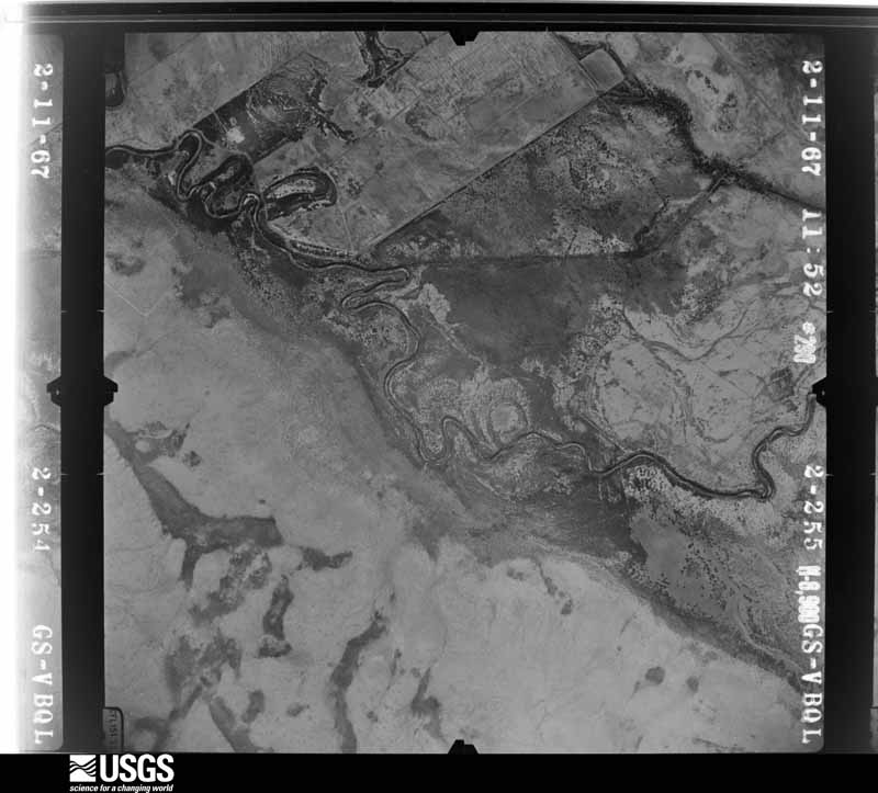
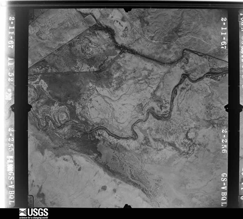
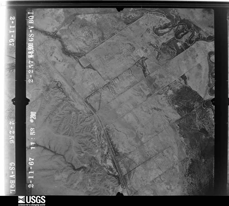
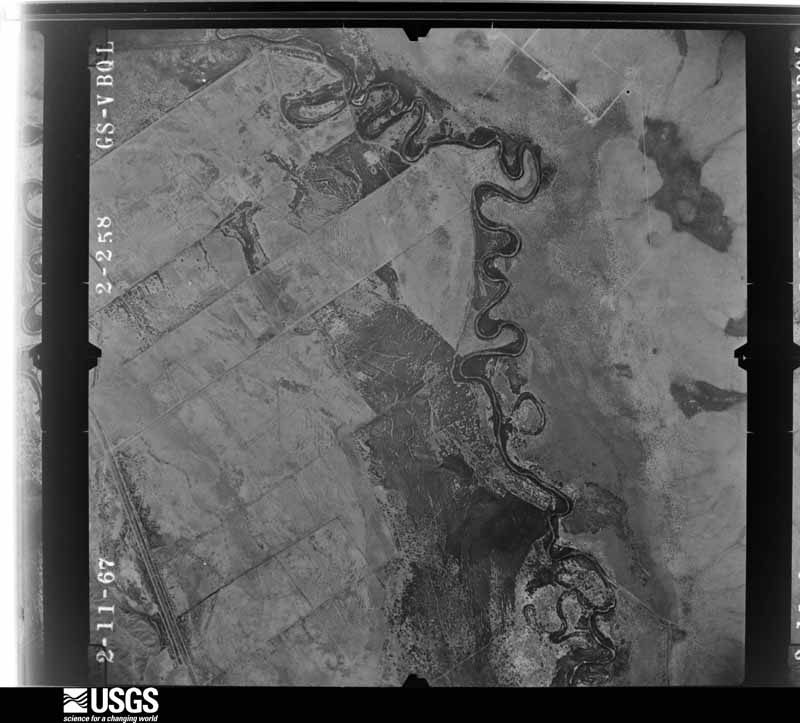
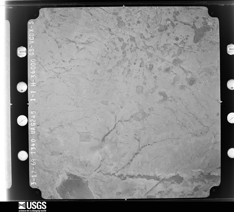
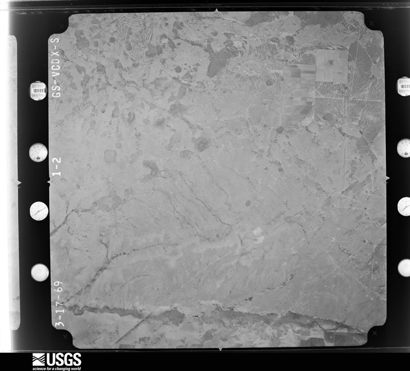
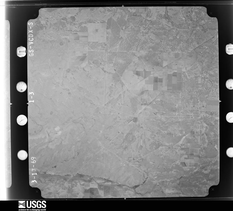
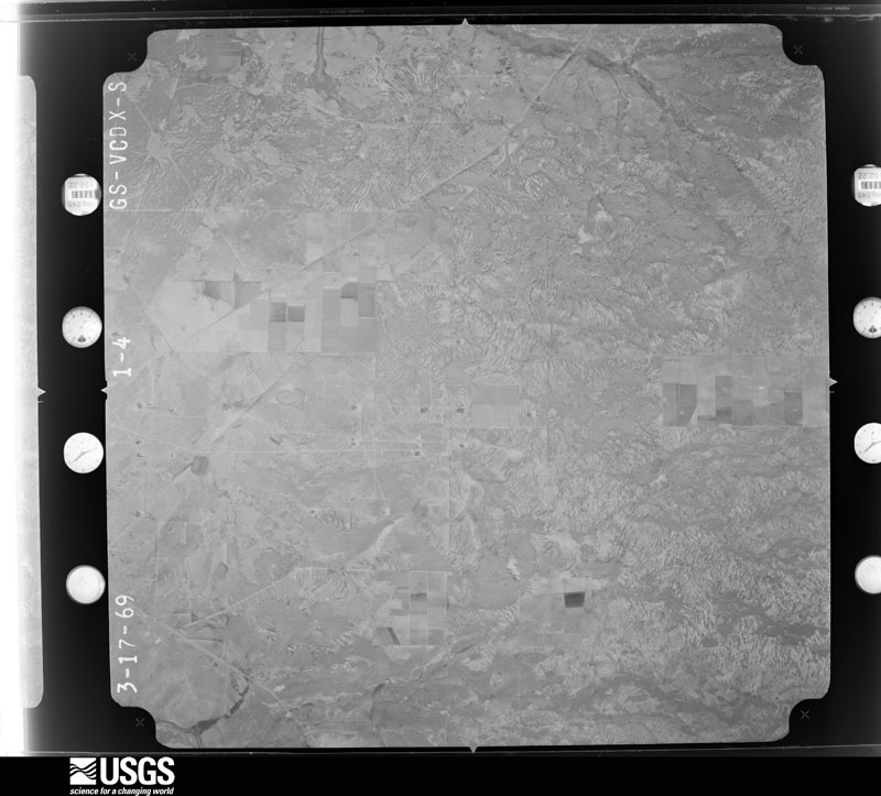
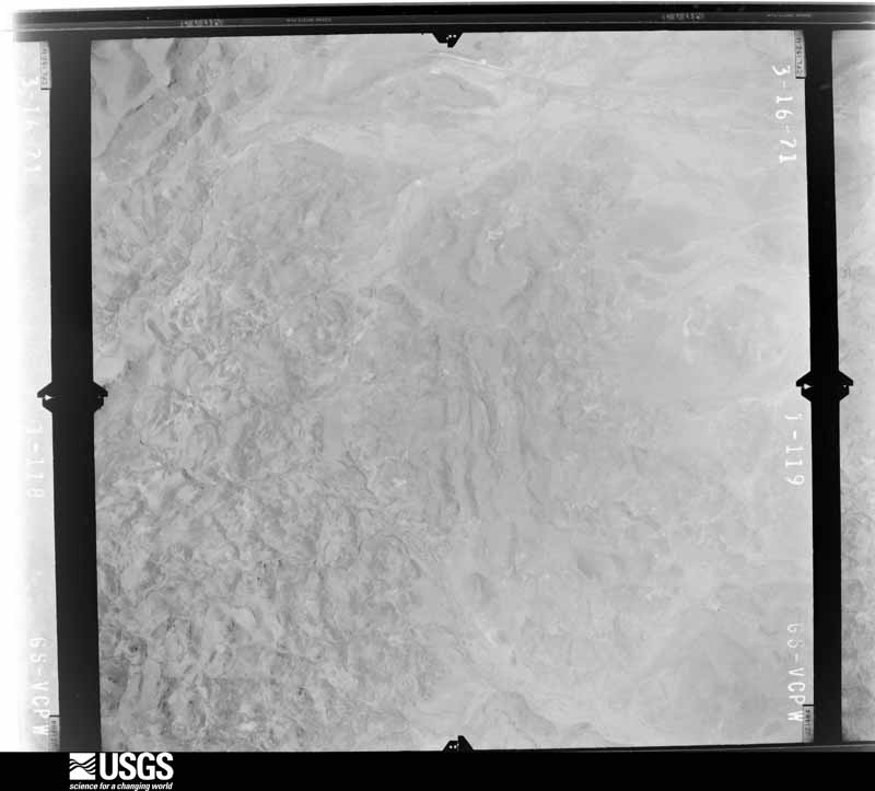
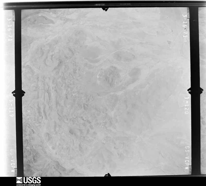
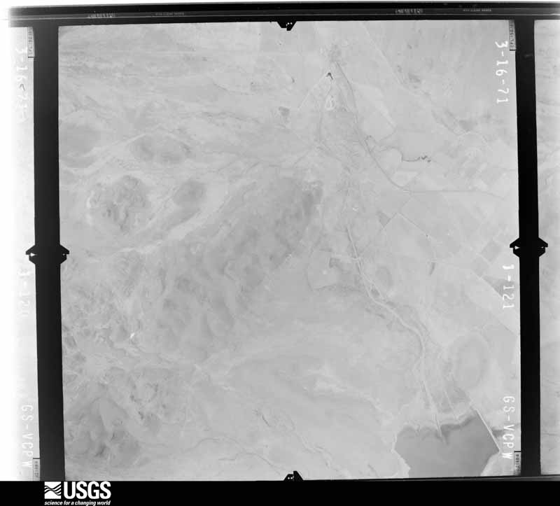
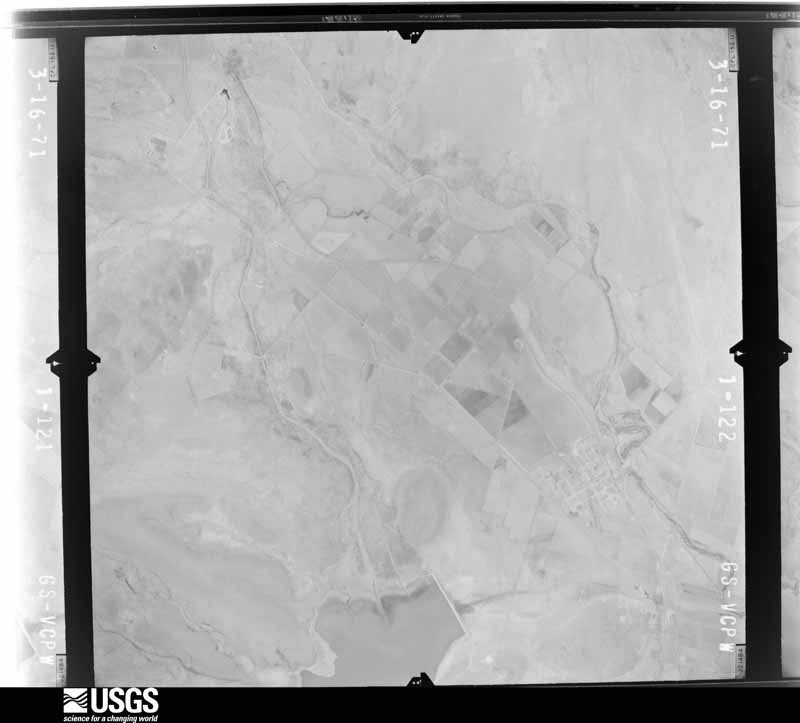
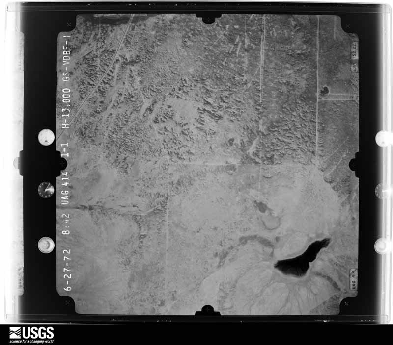
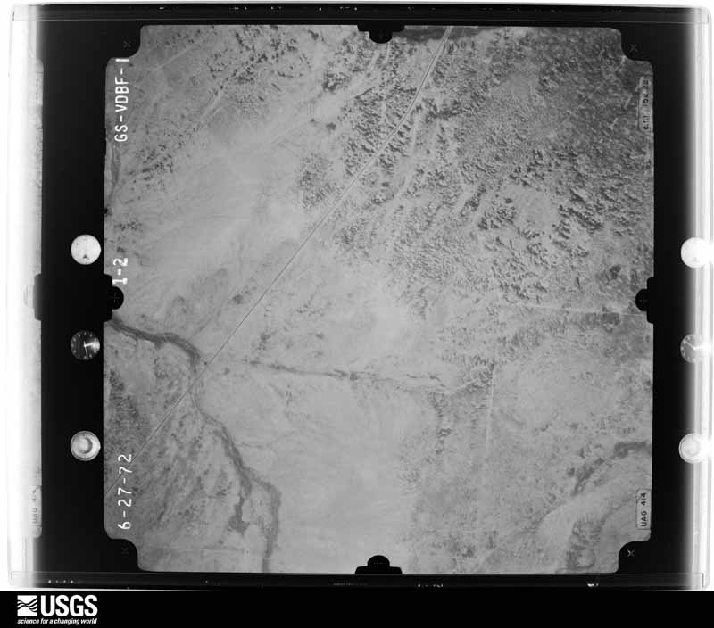
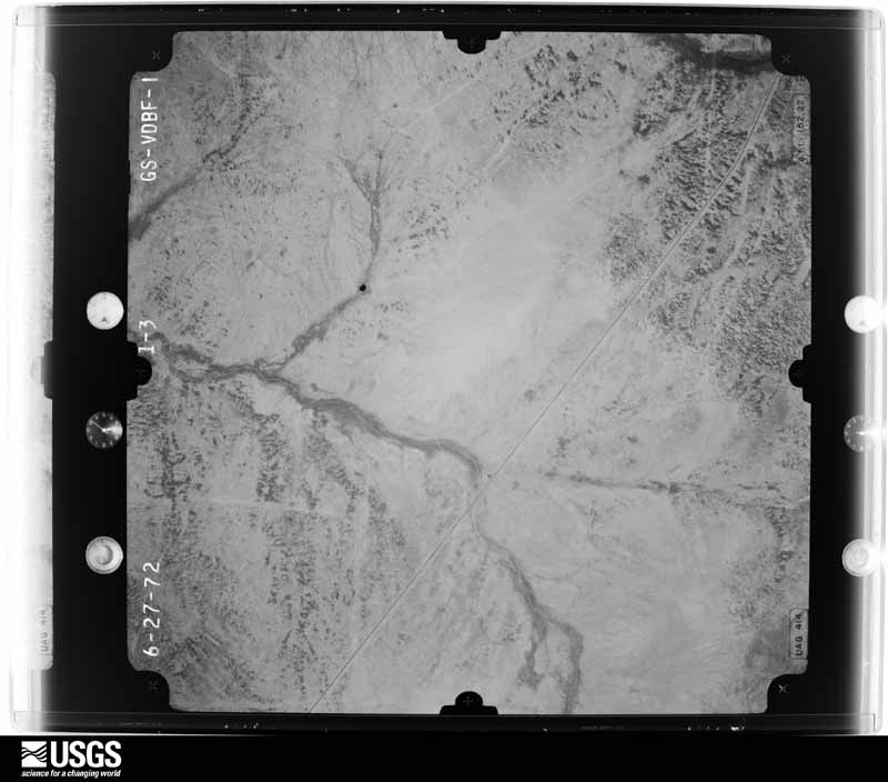
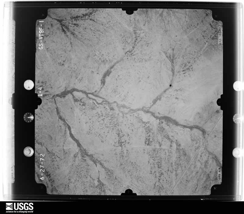
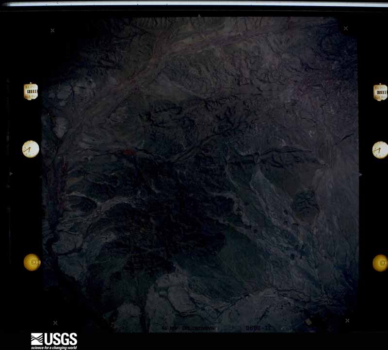
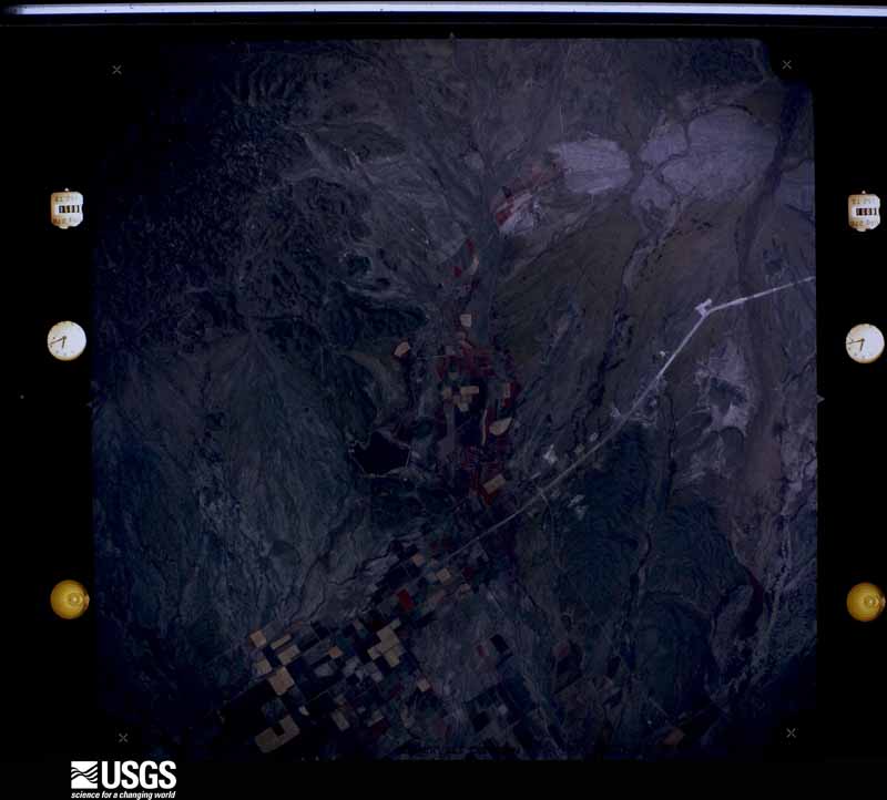
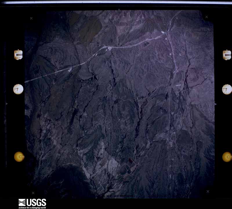
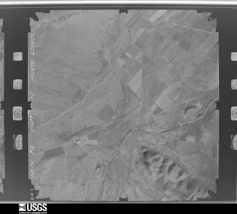
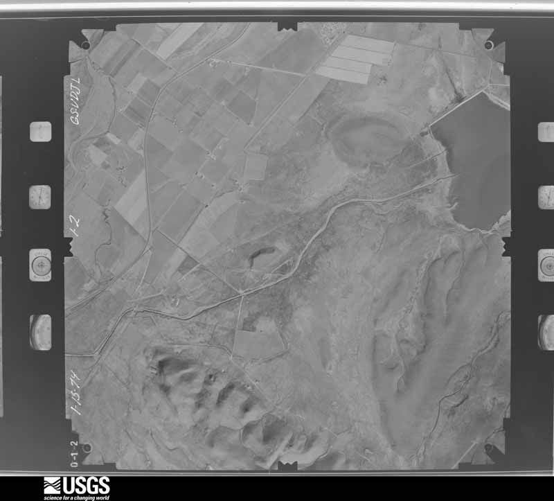
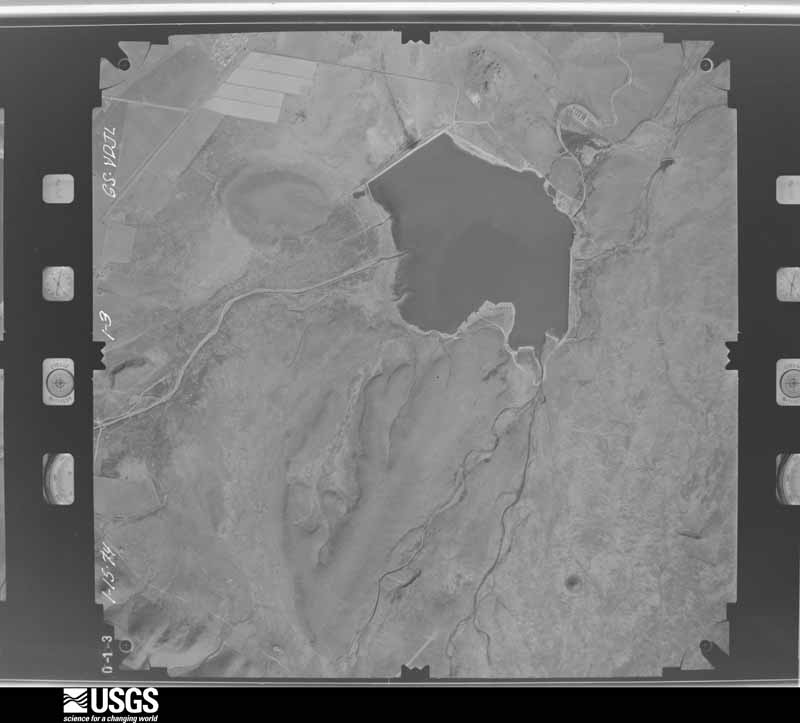
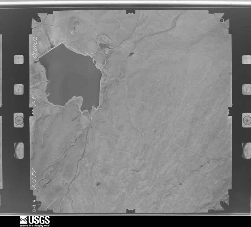
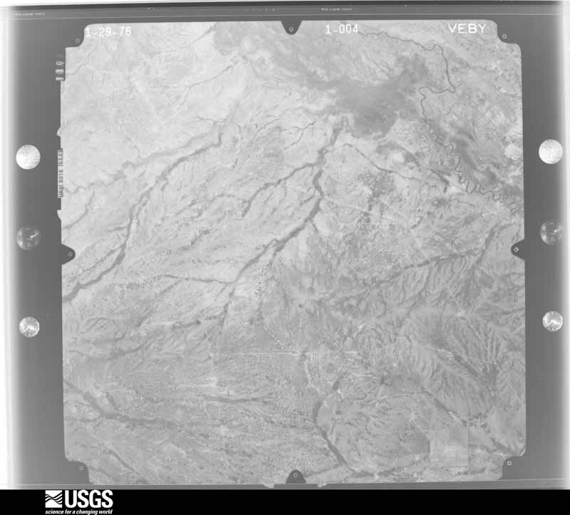
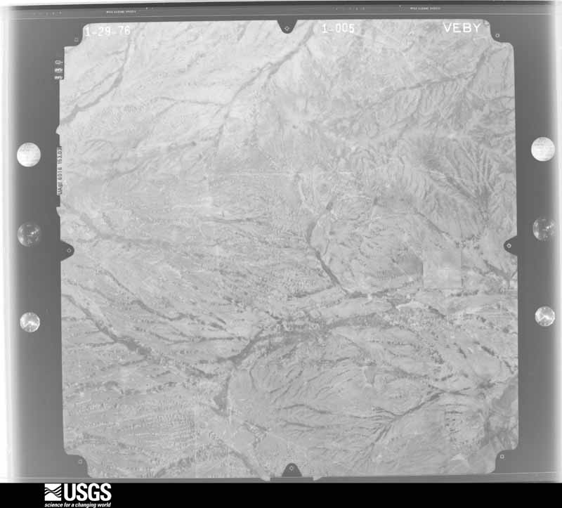
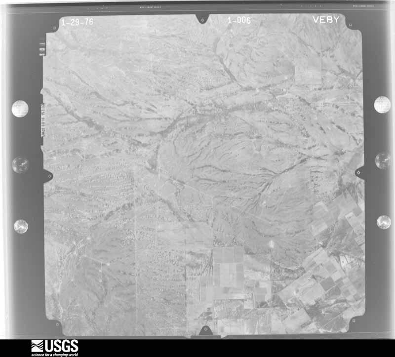
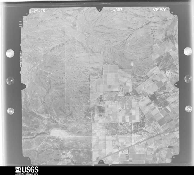
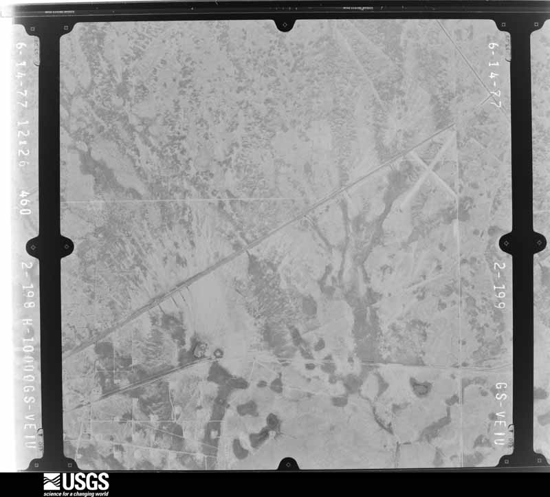
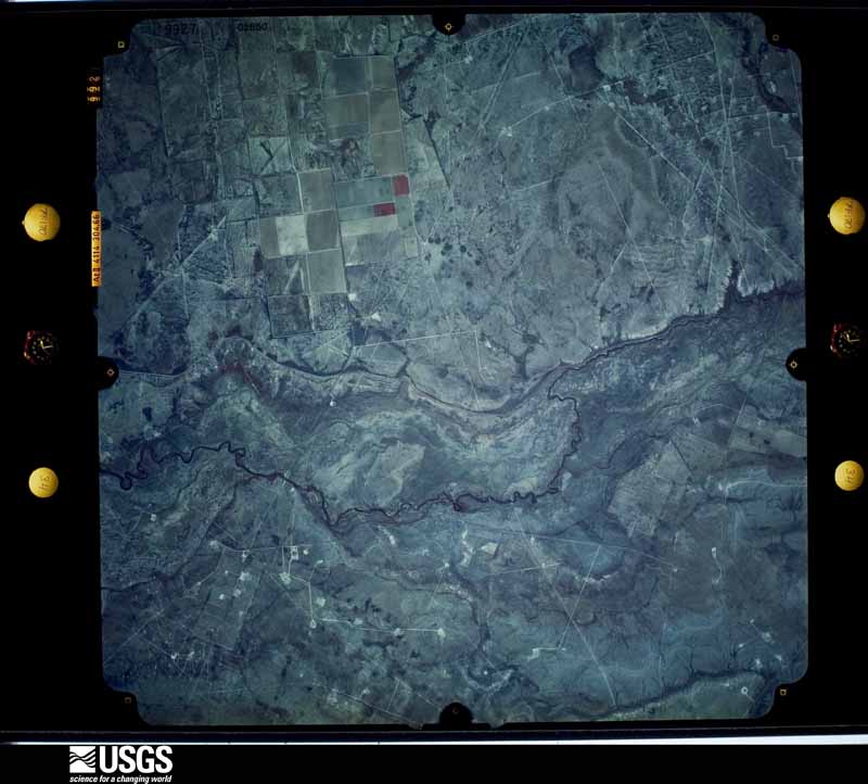
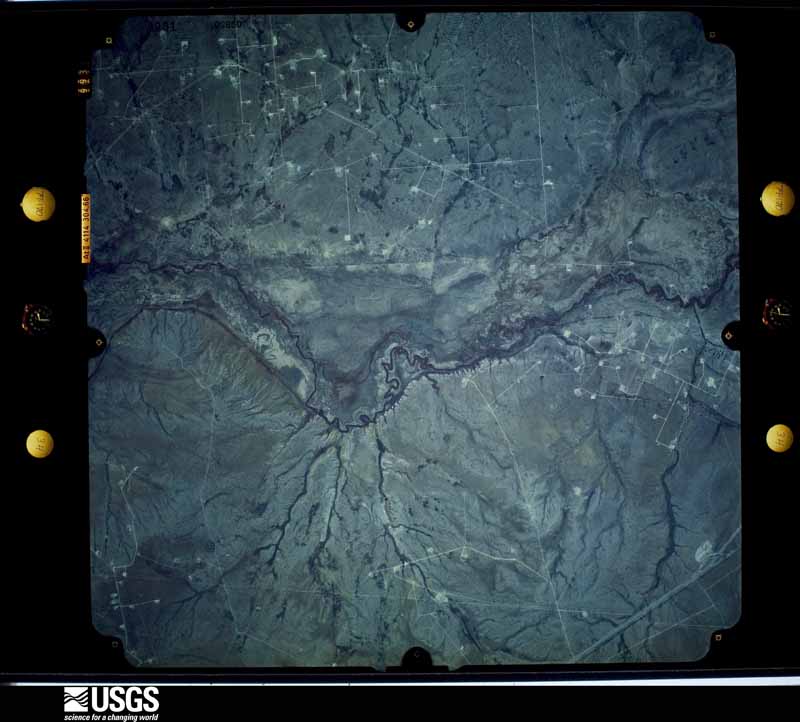
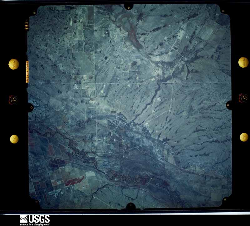
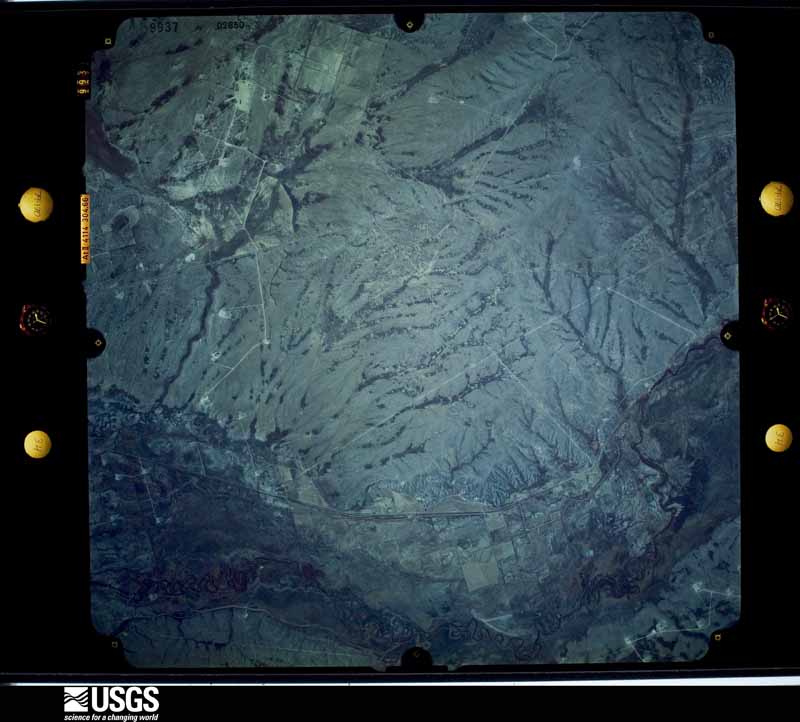
48 shownFlown by the U.S. Geological Survey between 1937 and 1989, the Aerial Photo Single Frames collection is the definitive mid-century view of the land: fields, roads and rivers as the camera saw them. The Survey holds 4,088 frames inside the rectangle that bounds this county; the 48 frames below were taken over the county itself, chosen across the decades of flights (at most four a year from that rectangle), so one flight cannot crowd out the rest. The full set is free to browse and download at EarthExplorer under the dataset Aerial Photo Single Frames.

Weather records
13 stations, 11 gagesThe thermometers that kept this county's weather, and the gages that measured the flow of its streams, as the federal records hold them. The extremes below are measured values from those records, not estimates.
- PECOS 1904 to 2000, hottest 47.8 C, coldest -22.8 C
- BALMORHEA 1923 to 2023, hottest 44.4 C, coldest -22.8 C
- RED BLUFF DAM 1939 to 2003, hottest 46.1 C, coldest -25.6 C
- POPHAM RCH 1941 to 1947
- PREWIT RCH 1941 to 1948
- TOYAH 1943 to 1977
- DAVIS MOUNTAIN JUNCTIN 1945 to 1947
- TINNIN RCH 1948 to 1951
- BALMORHEA 1949 to 1951
- BALMORHEA GRAEF RCH 1953 to 1958
- PECOS 8W 2000 to 2019, hottest 45.0 C, coldest -12.2 C
- PECOS MUNI AP 2011 to 2026, hottest 45.0 C, coldest -16.0 C
- BALMORHEA 2.1 SW 2018 to 2026
- Pecos Rv at Pecos, TX 1902 to 2014
- Pecos Rv abv Barstow (Barstow Canal), TX 1916 to 1921
- Pecos Rv nr Mentone, TX 1922 to 1973
- Barrilla Draw nr Saragosa, TX 1924 to 2026
- Pecos Rv nr Orla, TX 1937 to 2026
- Salt Draw nr Pecos, TX 1939 to 1945
- Salt Screwbean Draw nr Orla, TX 1939 to 1957
- Toyah Ck bl Toyah Lk nr Pecos, TX 1939 to 1951
- Toyah Ck nr Pecos, TX 1939 to 1945
- Reeves County WID No. 2 Canal nr Mentone, TX 1942 to 1990
- PECOS RIVER NR BARSTOW, TX 1999 to 2003
The 1950 census, district by district
18 districtsWho lived here in 1950, one enumeration district at a time, as the Census Bureau described each district. Each row opens its official National Archives result, with Population Schedules and ED Maps available there.
- 195-1Justice Precinct 1: Pecos city: Pecos city - That part Bounded by City limits; City limits; Texas and Pacific Railway, Bois d'Arc, A; City limits
- 195-2Justice Precinct 1: Pecos city - That part Bounded by City limits, A; Bois d' 'Arc; Washington Blvd., City limits; City limits
- 195-3Justice Precinct 1: Pecos city - That part Bounded by Texas and Pacific Railway; Eddy, 8th, Oleander; City limits, Washington Blvd. extended, Washington Blvd.; Bois d'Arc
- 195-4Justice Precinct 1: Pecos city - That part Bounded by Texas and Pacific Railway; Cherry; City limits; Oleander, 8th, Eddy
- 195-5Justice Precinct 1: Pecos city - That part Bounded by Texas and Pacific Railway; Elm; City limits; Cherry
- 195-6Justice Precinct 1: Pecos city - That part Bounded by Texas and Pacific Railway; Cedar; City limits; Elm
- 195-7Justice Precinct 1: Pecos city - That part Bounded by Texas and Pacific Railway; Walnut, 13th, Pecan; City limits; Cedar
- 195-8Justice Precinct 1: Pecos city - That part Bounded by Texas and Pacific Railway; City limits; 5th; Walnut
- 195-9Justice Precinct 1: Pecos city - That part Bounded by 5th, City limits; City limits; Pecan, 13th, Walnut
- 195-10Justice Precinct 1: Pecos city - That part Bounded by City limits, Washington Blvd., Washington Blvd. extended; City limits; City limits; City limits
- 195-11Justice Precinct 1- That part outside Pecos city
- 195-12Justice Precinct 2: Toyah town
- 195-13Justice Precinct 2 - That part outside Toyah town
- 195-14Justice Precinct 3: Balmorhea, unincorporated Bounded by Toyah Creek; Pecos Valley Southern Railway; Unnamed rd.; U.S. Highway 290, Unnamed rd., Toyah Creek
- 195-15Justice Precinct 3- That part outside Balmorhea, unincorporated (See separate map for boundaries of Balmorhea)
- 195-16Justice Precinct 4
- 195-17Justice Precinct 5
- 195-18Justice Precinct 6
Wildfire, 2006 to 2020
24 firesEvery wildfire the federal occurrence database records inside this county: 24 of them, burning about 9,366 acres. 2 started naturally and 3 were recorded as arson. Each settlement page carries the fires within five miles of it.
| Reported cause | Fires |
|---|---|
| Missing data/not specified/undetermined | 15 |
| Arson/incendiarism | 3 |
| Natural | 2 |
| Equipment and vehicle use | 2 |
| Power generation/transmission/distribution | 1 |
| Debris and open burning | 1 |
The five largest, by the area the report gives. One of them was set deliberately.
| Date | Cause | Size | Reported by | Name on the report |
|---|---|---|---|---|
| 23 May 2008 | Missing data/not specified/undetermined | 7,220 acres | Texas A & M Forest Service | ROCKING JBH |
| 11 January 2008 | Arson/incendiarism | 1,760 acres | Texas A & M Forest Service | SCREW BEAN FIRE |
| 31 March 2008 | Missing data/not specified/undetermined | 140 acres | Texas A & M Forest Service | IRON MOUNTAIN |
| 13 October 2011 | Natural | 100 acres | Texas A & M Forest Service | 9 MILE DRAW FIRE |
| 1 January 2006 | Missing data/not specified/undetermined | 60 acres | Texas A & M Forest Service | not named |
| 7 January 2006 | Missing data/not specified/undetermined | 20 acres | Texas A & M Forest Service | not named |
| 21 May 2014 | Natural | 18 acres | Texas A & M Forest Service | PALOMAS |
| 9 June 2020 | Missing data/not specified/undetermined | 14 acres | Texas A & M Forest Service | COTTONWOOD |
Every settlement page carries the fires within five miles of it - see the settlement index below.
Storms, 1954 to 2025
60 of 400 shownThe NOAA Storm Events Database holds 400 reports for this county, causing 30 deaths, 143 injuries and about $9,239,680 in recorded property damage. Each settlement page carries the reports that name it.
| Kind of event | Reports |
|---|---|
| Hail | 206 |
| Thunderstorm Wind | 89 |
| Tornado | 48 |
| Flash Flood | 45 |
| Flood | 8 |
| Heavy Rain | 2 |
| Funnel Cloud | 2 |
The most serious of them, by death, then injury, then recorded damage. The accounts are quoted exactly as the forecast office filed them.
| When | Event | Place named | Harm | What the report says |
|---|---|---|---|---|
| May 1987 | Tornado (F4) | not stated | 30 killed, 121 hurt, $2,500,000 | no account filed |
| April 1974 | Tornado (F2) | not stated | 12 hurt, $250,000 | no account filed |
| May 1962 | Tornado (F2) | not stated | 3 hurt, $250,000 | no account filed |
| March 2020 | Thunderstorm Wind | Arno | 1 hurt, $500,000 | A thunderstorm developed over eastern Culberson County and moved east northeast into northern Reeves County. This storm strengthened as it moved into Reeves County and produced significant damage to the Highway 285 RV Park about 15 miles southeast of Orla. It was determined by a National Weather Service survey team that damage to the RV park was the result of rear-flank downdraft winds which was a straight-line wind event. The survey team estimated the wind speeds to be 100-130 miles per hour based on damage to the RV park. This was based on damage to trailers, outbuildings, vehicles, and other structures. It was determined that the swath of damaging winds was around 300 yards wide and 0.75 miles in length. There was one major injury related to this event. The cost of damage is a very rough estimate. |
| May 1972 | Tornado (F1) | not stated | 1 hurt, $25,000 | no account filed |
| May 1998 | Thunderstorm Wind | Pecos | 1 hurt, $15,000 | A dry microburst on the extreme south side of Pecos caused extensive damage in the Maxey Park section of Pecos. An anemometer at the airport recorded a 69 mph gust and there was scattered damage across the southwest side of the city covering about a one square mile area. Flying debris hit a woman causing a 2-inch gash in her scalp. A travel trailer was overturned, one commercial building had its entire roof blown off; at the zoo 3 chainlink fences were blown down and a cinderblock building collapsed; several large trees were downed in the area; and 2 large sliding doors at an airport hangar were damaged. Flying debris also broke vehicle windows across the south side of the city. The total wind event lasted for about 15 minutes. |
| June 2010 | Thunderstorm Wind | Pecos | 1 hurt | The Reeves County Emergency Manager reported that an old trailer was blown over at approximately 7 PM CST in the city of Pecos, TX. A girl was injured when the trailer fell on top of her. |
| June 1976 | Tornado (F0) | not stated | 1 hurt | no account filed |
| May 1955 | Tornado (F2) | not stated | 1 hurt | no account filed |
| June 1954 | Tornado (F2) | not stated | 1 hurt | no account filed |
| April 2004 | Flash Flood | Toyah | $2,500,000 | A bridge along Interstate 20 just east-northeast of Toyah over the normally dry Salt Draw failed Sunday evening. This failure was the result of fast-moving flood waters originating from previous heavy rainfall over the Davis Mountains. Hydrologists also credited a residual flow of water through the draw from the Toyah dike break early Sunday for contributing to the gradual process that caused the bridge to collapse. Authorities said that advance warning of additional runoff and flooding allowed the interstate to be closed to both eastbound and westbound traffic at the first sign of danger to the bridge. A state official for the Texas Department of Transportation said that 86 feet of roadway in the eastbound lanes fell into the river, and that additional 40-foot segments on each side of the river were also damaged. On the westbound side, one of the upright supports holding the bridge had moved six to eight inches, opening a crack in the roadway. No fatalities were reported with the bridge collapse, however, five indirect fatalities occurred in a multi-vehicle collision along a detour, U.S. Highway 285, south of Pecos. |
| September 2014 | Flood | Pecos | $500,000 | Heavy rain fell across Reeves County and produced flooding along the Pecos River. There were mandatory evacuations in the city of Pecos due to this flooding. The cost of damage is a very rough estimate. |
| September 2014 | Flood | Orla | $500,000 | Heavy rain fell across Reeves County and produced flooding along the Pecos River. Flooding continued along the Pecos River from Orla to the city of Pecos over several days. The cost of damage is a very rough estimate. |
| September 2014 | Flood | Orla | $500,000 | Heavy rain fell across Reeves County and produced flooding along the Pecos River. Local emergency management officials were continuing to report flooding along the Pecos River from Orla to the city of Pecos. Mandatory evacuations were issued from the Pecos River to U.S. Highway 285. Emergency management in Loving County reported minor flooding on the western side of Mentone. The cost of damage is a very rough estimate. |
| April 2004 | Flash Flood | Toyah | $500,000 | Eight to twelve inches of rainfall resulted in the failure of a protective levee near Toyah. With the failure of this dike, three to four feet of water inundated the town of Toyah and prompted the evacuation of the town's residents. While 19 people in the town of 103 elected to stay through the flood event, the remainder of the town's residents were moved to a Red Cross shelter in the nearby community of Pecos. The extensive flooding in Toyah left virtually every home with flood damage. One home was completely destroyed.Flooding lingered until late afternoon on Sunday, April 4th with State Highway 17 and Farm to Market Roads 2903, 869, and 1450 remaining underwater. |
| May 1978 | Tornado | not stated | $250,000 | no account filed |
| July 2025 | Flash Flood | Hoban | $100,000 | The Reeves County Emergency Manager reported flooding across CR331, with three cars and one truck submerged. Duration is estimated from radar. The property damage cost is an estimation. |
| April 2004 | Hail | Toyah | $100,000 | no account filed |
| July 1997 | Thunderstorm Wind | Pecos | $70,000 | A thunderstorm cluster moving over the city of Pecos had a cell that produced a wet macroburst causing widespread minor wind damage. Damaged were an airport hangar, 8 utility poles and 2 transformers, an animal shelter, fences, and roofs of a few businesses. |
| July 2021 | Thunderstorm Wind | Pecos | $60,000 | A thunderstorm moved across Reeves County and produced wind damage near Pecos. It was likely a microburst with winds estimated to be 90 mph. The winds damaged three travel trailers. The time was estimated from radar. The cost of damage is a very rough estimate. |
| July 2005 | Thunderstorm Wind | Verhalen | $60,000 | The Texas Department of Public Safety closed Texas Highway 17 at Verhalen after 15 power poles were toppled onto the highway by severe thunderstorm winds. |
| May 2005 | Thunderstorm Wind | Pecos | $50,000 | A delayed report (received in August) indicated that severe thunderstorm winds struck Pecos during the early evening of the 27th. Large trees and fences were reported to have been blown down by the winds, and a few structures sustained minor roof damage. At least one vehicle was severely damaged when it was struck by flying debris. The time of the event is estimated. |
| July 2011 | Thunderstorm Wind | Verhalen | $40,000 | An estimated 20 to 30 power poles were knocked down or damaged along SH 17. |
| June 2004 | Thunderstorm Wind | Toyah | $30,000 | A 100 year-old bank building in Toyah was destroyed when strong winds affected the community on the evening of the 17th. Radar reflectivity data depicted strong to severe thunderstorms well to the west of Toyah in adjacent Culberson County, however, only light reflectivity returns were indicated in the Toyah area and appeared to be associated with anvil blow-off down wind of the severe storms. The Reeves County Emergency Manager reported winds around 50 MPH when the building was destroyed. These winds were likely associated with outflow from the distant storms. The structural integrity of the historic building may have been compromised by the extensive flooding event which affected the community in early April. |
| October 2004 | Heavy Rain | Pecos | $30,000 | Heavy rainfall resulted in the collapse of a roof on a residence in the eastern parts of the city. |
| July 1995 | Thunderstorm Wind | Pecos | $30,000 | A thunderstorm within a tropical air mass developed a downburst that destroyed an untied mobile home. |
| August 2025 | Thunderstorm Wind | Arno | $25,000 | Multiple reports were received from the public of approximately 10 power poles broken just above the base along Hwy 285 between Pecos and Mentone. All poles were laying to the west away from the road. This was likely the result of a localized microburst with wind speeds estimated to have been up to 100 mph. |
| September 2004 | Flash Flood | Saragosa | $25,000 | Reeves County officials reported extensive flash flooding along Interstate 10 near mile marker 214. Low spots along Texas Highway 17 were inundated by flood waters between Saragosa and the interstate. Both east and west-bound service roads also were flooded. High water threatened a Fina Gas Station near the intersection of Texas Highway 17 and Interstate 10. Up to three feet of water flowed through the business's parking lot. The Texas Department of Transportation deployed sandbags around the structure to protect it from the flood waters. |
| September 2004 | Flash Flood | Orla | $25,000 | At 10:30 CST residents in Orla reported high water that inundated yards and threatened homes. Water in the streets of Orla flowed one foot deep. No major damage was reported. A National Weather Service Cooperative Observer west of Red Bluff Dam reported flood waters crossing U.S. Highway 285 in northern Reeves County at 10:40 CST. Five to six feet of water was reported flowing over County Road 447 five miles north of Orla at 15:45 CST. At that time, the Red Bluff Dam Cooperative Observer reported a forty-eight hour rainfall total of five inches.The heavy rainfall ended over most of Reeves County by late afternoon. Runoff continued to result in flash flooding through mid evening. The last report that was received indicated that three feet of water continued to flow over County Road 447 north of Orla at 18:00 CST. |
| May 1972 | Tornado (F1) | not stated | $25,000 | no account filed |
| May 2010 | Tornado (EF2) | Verhalen | $24,000 | A spotter report from a NWS employee and a damage survey both determined that at approximately 1756 CST, a tornado developed about 11 miles southeast of Verhalen, TX. It then moved southeastward damaging a total of 12 powers poles. All but two of these poles were broken into 3 or 4 pieces each. The broken poles were indicative of EF-2 type damage. At 1802 CST, a Pecos County Sherriffs Deputy took a photo of the tornado near the Pecos and Reeves County line. Finally, at 1806 CST the NWS employee captured the tornado in its dissipating stage. |
| May 2008 | Thunderstorm Wind | Pecos | $20,000 | Strong thunderstorm winds downed powerlines north of Pecos. |
| June 2007 | Thunderstorm Wind | Pecos | $20,000 | A trained spotter estimated winds of 64 mph. Trees and power lines were downed by strong winds. |
| June 2004 | Thunderstorm Wind | Pecos | $20,000 | Severe thunderstorm winds resulted in minor roof damage to a few structures in Pecos. |
| June 1996 | Thunderstorm Wind | Pecos | $20,000 | no account filed |
| May 2010 | Thunderstorm Wind | Verhalen | $18,000 | Several power poles were knocked down/snapped by the wind gust. The time of this report was estimated according to radar data. |
| June 2013 | Thunderstorm Wind | Pecos | $10,000 | A thunderstorm moved over Reeves County and produced strong winds in Pecos. A roof was blown off of an appliance store, and the gusts were estimated to be near 80 mph. The cost of damage is a rough estimate. |
| March 2007 | Flash Flood | Toyah | $10,000 | The rest area on Interstate 20 at mile marker 25 was flooding and traffic problems were occurring due to flooding along Interstate 20. Street flooding was also experienced in Pecos. Pecos police shut down the intersection of 14th and Cedar Streets, after a motorist was stranded due to high water. A motorist was stranded on Farm to Market Road 1216, six miles south of Interstate 20. Farm to market Road 1934 was also flooded. |
| July 2004 | Hail | Toyah | $10,000 | A second severe storm produced large hail over Reeves County. Multiple reports from the public and the broadcast media indicated pea to golfball size hail fell in Toyah for a twenty minute period. |
| September 2002 | Thunderstorm Wind | Pecos | $10,000 | Local officials reported severe thunderstorm wind gusts which blew down powerlines along Hghway 285 from 12 miles north of Pecos to the city. |
| October 2002 | Flash Flood | Orla | $10,000 | A vehicle was stalled in high water on Highway 285 in Orla. Over four feet of water covered the roadway. |
| August 1995 | Thunderstorm Wind | Pecos | $10,000 | The sheriff's office reported telephone poles and power lines down along Farm-to-Market Road 869 due to downburst winds. A mobile home was also overturned. |
| June 2022 | Flash Flood | Balmorhea | $8,000 | Heavy rain fell across Reeves County and resulted in flash flooding near Balmorhea. There was a high water rescue. A person in a pickup drove through a low water crossing south of Balmorhea Lake. The pickup and driver were washed 1000 feet downstream. The cost of damage is a very rough estimate. |
| September 2014 | Flash Flood | Orla | $7,000 | Heavy rain moved across Reeves County and produced flash flooding in Orla. Roads in Orla were damaged from the flowing water. The cost of damage is a very rough estimate. |
| April 2012 | Thunderstorm Wind | Orla | $6,000 | A thunderstorm moved over Orla and produced winds over 60 mph which resulted in broken poles. |
| June 2017 | Thunderstorm Wind | Pecos | $5,000 | A thunderstorm moved across Reeves County and produced a 64 mph wind gust in Pecos. There were power outages reported in Pecos. The cost of damage is a very rough estimate. |
| March 2017 | Flash Flood | Pecos | $5,000 | A thunderstorm moved across Reeves County and produced flash flooding in Pecos. Vehicles were stalled due to the flooding. The cost of damage is a very rough estimate. |
| March 2017 | Thunderstorm Wind | Pecos | $5,000 | A thunderstorm moved across Reeves County and produced wind damage in Pecos. There were powerlines down and damaged trees reported. The cost of damage is a very rough estimate. |
| April 2014 | Thunderstorm Wind | Balmorhea | $5,000 | A thunderstorm moved across Reeves County and produced wind damage in Balmorhea. There were reports of damage to trees and sheds as well as power outages. The cost of damage is a rough estimate. |
| June 2005 | Thunderstorm Wind | Pecos | $5,000 | A trailer home sustained minor damage due to thunderstorm winds just southwest of Pecos at 15:30 CST. A portion of the home's porch was blown into an adjacent field. Several large tree limbs were downed. Two poles that were set in concrete were also blown down by the winds. Severe thunderstorm wind gusts also were reported by law enforcement officials north of Pecos at 15:50 CST. |
| May 2001 | Thunderstorm Wind | Pecos | $5,000 | Thunderstorm winds resulted in downed power lines on the north side of the city of Pecos. |
| February 1995 | Hail | Toyah | $5,000 | The sheriff's office in Pecos received reports of dime-size hail in Toyah. An off-duty deputy sheriff later reported golf ball-size hail in Toyah. |
| May 1994 | Hail | Balmorhea | $5,000 | The public reported quarter- to golf ball-size hail in Balmorhea from 1536 CST to 1556 CST. |
| May 1994 | Hail | Balmorhea | $5,000 | The public reported quarter- to golf ball-size hail in Balmorhea from 1536 CST to 1556 CST. |
| May 1994 | Hail | Toyah | $5,000 | no account filed |
| March 2019 | Thunderstorm Wind | Pecos | $3,000 | A thunderstorm moved across Reeves County and produced damage near Pecos. Roof and structural damage was reported approximately one half mile west of the Pecos Airport. The time was estimated from radar and the wind speed was estimated. The cost of damage is a very rough estimate. |
| July 2003 | Thunderstorm Wind | Pecos | $3,000 | The local newspaper reported thunderstorm winds blew the roof off of a building just south of Pecos. An automated observing system at the local airport recorded a peak gust of 49 knots. |
| July 1964 | Tornado | not stated | $2,500 | no account filed |
| August 2019 | Thunderstorm Wind | Pecos | $2,000 | A thunderstorm moved across Reeves County and produced wind damage in the town of Pecos. Power lines were down at 8th Street and Peach Street. The cost of damage is a very rough estimate. |
| June 2014 | Thunderstorm Wind | Balmorhea | $2,000 | A thunderstorm moved across Reeves County and produced wind damage in Balmorhea. There was a large tree down at El Paso Street and State Highway 17. The tree was blocking Highway 17. The cost of damage is a rough estimate. |
Mines and quarries
2 recordedThe Survey's mineral resources record lists 2 workings inside this county. All of them still produce. Each settlement page carries the workings within five miles of it.
| Commodity | Workings |
|---|---|
| Bromine | 1 |
| Sand and Gravel, Construction | 1 |
The least common of them first, because a county's hundredth gravel pit says nothing its first ten did not.
| Where | Site | Commodity | Status | Recorded |
|---|---|---|---|---|
| Coyanosa Station | Bromine | Producer | Brine | |
| Hoban Pit | Sand and Gravel, Construction | Producer | Gravel, Sand |
Every populated place in the county
27Named settlements recorded in the Geographic Names Information System, each with the topographic sheets covering it. Villages, hamlets and abandoned places alike. Each is shown with the nearest named watercourse or landform and the survey quadrangle it falls on.
-
Arno
Pecos census division · 79772 · Near Horsehead Draw · Anderson Ranch quadrangle
8 sheets, 1954 to 1986
-
Cuatro Caminos
Balmorhea census division · 79718 · Barrilla Mountains East quadrangle
12 sheets, 1894 to 1985
-
Pueblo Vitoria
Balmorhea census division · 79718 · On San Solomon Creek · Toyahvale quadrangle
12 sheets, 1894 to 1985
-
Riverton
Pecos census division · 79772 · Near Narrow Bow Draw · Orla SE quadrangle
10 sheets, 1931 to 1986
-
Robinson Arms Landing
Pecos census division · 79770 · Near Hackberry Draw · Red Bluff quadrangle
10 sheets, 1925 to 1986
-
San Martine
Pecos census division · On San Martine Peak · San Martine quadrangle
8 sheets, 1928 to 1985
-
Toyah
Pecos census division · 79785 · Near San Martine Draw · Toyah quadrangle
8 sheets, 1921 to 1986
-
Toyahvale
Balmorhea census division · 79718 · Near Moore Tank Draw · Toyahvale quadrangle
12 sheets, 1894 to 1985
Provenance
- Topographic sheets. USGS Historical Topographic Map Collection, county index, measured from the bulk metadata.
- Fire insurance maps. Library of Congress Sanborn collection, faceted to this county.
- Photographs. Each place queried individually against the Library of Congress Prints and Photographs search.
- Wildfire. Short, Karen C. 2022. Spatial wildfire occurrence data for the United States, 1992-2020 [FPA_FOD_20221014]. 6th Edition. Fort Collins, CO: Forest Service Research Data Archive. https://doi.org/10.2737/RDS-2013-0009.6 Collected with United States Government funding and usable without additional permissions or fees.
- Mines and quarries. USGS Mineral Resources Data System (MRDS) https://mrdata.usgs.gov/mrds/ A work of the United States government, no copyright under 17 U.S.C. 105.
- Storms. NOAA National Centers for Environmental Information, Storm Events Database https://www.ncei.noaa.gov/stormevents/ A work of the United States government, no copyright under 17 U.S.C. 105. Narratives are quoted verbatim from the National Weather Service report and are not edited or summarised.