 Block
BlockVilla Nueva, Texas
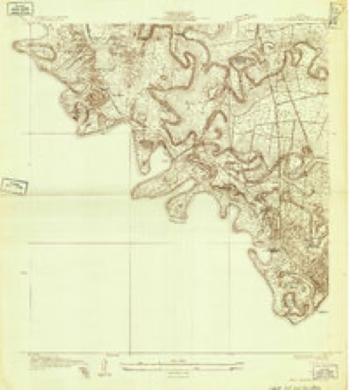
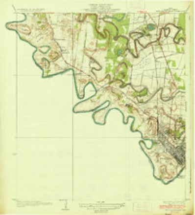
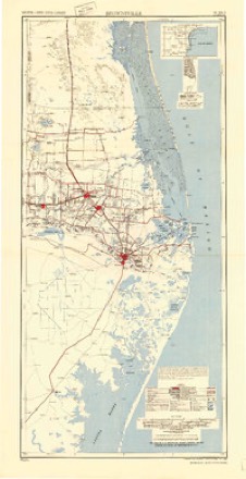
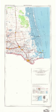
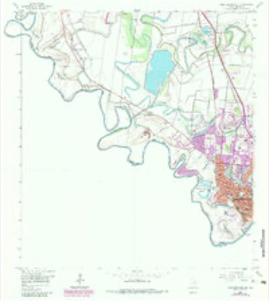
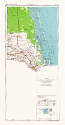
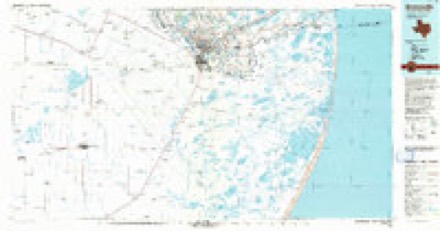
11 topographic sheets cover this place, the earliest surveyed in 1930 and the latest in 1992. It stands in the Brownsville census division. It lies in ZIP code area 78520. The Survey maps it on the West Brownsville quadrangle. It stands 36 feet above sea level.
Topographic sheets covering this place
7 surveys from 11 printed sheetsMatched by testing this settlement's coordinate against the published boundary of every sheet in the United States Geological Survey's historical collection. Each opens the scanned sheet at the Survey.
- 1930 USGS West Brownsville quadrangle1:24000
- 1936 USGS West Brownsville quadrangle1:31680, 2 printings
- 1953 USGS Brownsville quadrangle1:250000
- 1956 USGS Brownsville quadrangle1:250000, 2 printings
- 1956 USGS West Brownsville quadrangle1:24000, 3 printings
- 1962 USGS Brownsville quadrangle1:250000
- 1992 USGS Brownsville quadrangle1:100000
Fires near this place
90 since 1993Regional context, not property-specific evidence. The federal wildfire occurrence database lists 90 fires within 5 miles of Villa Nueva between 1993 and 2020, burning about 1,218 acres in total. 1 started naturally. 10 were recorded as arson. Distance is straight-line from the map coordinates, so a fire counted here may appear on a neighbouring settlement's page as well.
| Reported cause | Fires |
|---|---|
| Missing data/not specified/undetermined | 40 |
| Debris and open burning | 31 |
| Arson/incendiarism | 10 |
| Railroad operations and maintenance | 3 |
| Recreation and ceremony | 2 |
| Power generation/transmission/distribution | 2 |
| Fireworks | 1 |
| Natural | 1 |
The most recent of them, most recent first, with the day each was reported and the service that recorded it.
| Date | Cause | Size | Reported by | Name on the report |
|---|---|---|---|---|
| 13 September 2017 | Missing data/not specified/undetermined | 1.0 acres | Texas A & M Forest Service | GRASS FIRE |
| 9 August 2017 | Missing data/not specified/undetermined | 1.0 acres | Texas A & M Forest Service | GRASS FIRE |
| 4 August 1996 | Missing data/not specified/undetermined | 10 acres | Lower Rio Grande Valley National Wildlife Refuge | PHILLIPS |
| 29 August 2019 | Missing data/not specified/undetermined | 20 acres | Texas A & M Forest Service | GRASS FIRE |
| 29 August 2019 | Missing data/not specified/undetermined | 40 acres | Texas A & M Forest Service | GRASS FIRE |
| 29 August 1993 | Missing data/not specified/undetermined | under an acre | Lower Rio Grande Valley National Wildlife Refuge | GARZACAUAZ |
| 21 August 2017 | Missing data/not specified/undetermined | under an acre | Santa Ana National Wildlife Refuge | FISH HATCHERY |
| 21 August 2004 | Arson/incendiarism | 2.0 acres | Lower Rio Grande Valley National Wildlife Refuge | WOOD |
Settlements close enough to share some of these fires:
Mines and quarries near this place
1 within 5 milesRegional context, not property-specific evidence. The federal mineral resources record lists 1 working within 5 miles of Villa Nueva: 1 producer. All of them still produce. What was taken out: Fluorine-Fluorite. Distance is straight-line from the map coordinates, so a quarry counted here may appear on a neighbouring settlement's page as well.
| Where | Site | Commodity | Status | Recorded |
|---|---|---|---|---|
| Brownsville Mill | Fluorine-Fluorite | Producer |
Storms near this place
5 since 2010Regional context, not property-specific evidence. The National Weather Service names Villa Nueva in 5 storm reports between 2010 and 2023: 2 flash flood, 2 hail, 1 tornado. No death or injury is recorded in these reports. Each account below is quoted exactly as the forecast office filed it, from the NOAA Storm Events Database, and each date opens the federal record of that event.
| When | Event | Place named | Harm | What the report says |
|---|---|---|---|---|
| September 2010 | Flash Flood | Villa Nueva | $5,000,000 | Upper level energy, low level convergence, and a possible overnight low level jet stream of extremely moisture laden air from the Gulf of Mexico produced prolonged torrential rains across south central Cameron County between 2 and 7 AM CST September 19th. The area shifted to the east and northeast between 7 and 8 AM CST, but not before dumping 5 to 7 inches of rain from Brownsville to San Benito and creating extensive flooding, impacting perhaps 100 or more structures, particularly in poorly draining areas. ||Impacts included: Up to 60 homes with water incursion in Colonia Galaxia in West Brownsville along Military Highway; several homes with water in them in the nearby subdivision of Quail Hollow; 37 residents evacuated from 9 flooded homes in Laureles (2.5 miles northwest of Los Fresnos); several homes flooded in the Green Valley Farms area along FM 510 near San Benito, including one location where 17 small mixed-breed dogs were rescued. Dozens of roads were closed temporarily or, in some cases, through the day. Notable closures included Paredes Line Road just north of Ruben Torres in Brownsville, Pablo Kisel near the Morrison Blvd. intersection in Brownsville, FM 1575 near/at State Highway 100 in Los Fresnos, and portions of State Highway 345 between San Benito and Rio Hondo. The Frontage Road near Price Road, along Federal Highway 77 in Brownsville had 2 to 3 feet of water well after the rains ended; notable poor draining roads in downtown Brownsville had similar high water.||Though the rains ended between 8 and 9 AM CST, significant poor drainage flooding continued through 11 AM CST and pockets of flooding remained into the morning of September 20th. Dozen of pumps equipment were borrowed from Hidalgo County to assist with clearing water in poor drainage locations for the next few days.||Damage estimates will be into the $millions [final numbers available later this autumn]. Fortunately, no fatalities or injuries were reported as a direct consequence of the rains. |
| June 2010 | Tornado (EF0) | Villa Nueva | $10,000 | The tornado appeared to begin near a home between Old Military Highway and Mary Lee Court, lifting a few old shingles before knocking down several large limbs in the front yard. The track continued across Old Military Highway, tipping over a water kiosk and tearing off numerous mesquite limbs before moving across Military Highway (Federal 281), where it blew down smaller mesquite trees before crossing a field and tipping over a trailer at a 45 angle onto a recreational vehicle. Damage continued into a tree stand before ending. Well built homes in the neighborhood sustained no damage; power lines remained up and power never went out as the storm raced by.||Estimated winds were 60 to 65 mph. |
| June 2023 | Hail | Villa Nueva | - | Member of the public shared pictures of three hail stones all larger than a quarter. They were estimated to be about the size of a golf ball. Time estimated by radar. |
| June 2023 | Hail | Villa Nueva | - | Trained spotter called to report half dollar sized hail at Riverbend Resort in Brownsville, TX. |
| May 2015 | Flash Flood | Villa Nueva | - | Pockets of 5 to 6 inches of rain fell over the west side of Brownsville, including the River Bend Golf Resort, which saw widespread road, drainage, and Resaca flooding. The Brownsville Police Department reported water 1 to 1.5 feet deep at the intersection of Bates and Dews near the Brownsville and Matamoros International Bridge. |
Nearest settlements
The eight closest, with where each one stands in the county. Distances are straight-line, computed from the Geographic Names Information System coordinates.
| Map | Place | Distance | Sheets |
|---|---|---|---|
| Villa Nueva Colonia | 0.3 miles | 11 | |
| Stardust Colonia | 1.7 miles | 11 | |
| San Pedro | 3.0 miles | 11 | |
| San Pedro Colonia | 3.1 miles | 11 | |
| Hacienda Gardens Colonia | 3.1 miles | 11 | |
| Riverside | 3.4 miles | 11 | |
| Cameron Park | 4.3 miles | 16 | |
| Cameron Park Colonia | 4.4 miles | 16 |
Elsewhere
Matched on this settlement's Geographic Names Information System number rather than its name, so it cannot be a different place of the same name in another state.
| Wikipedia article on Villa Nueva | An encyclopaedic summary. Its text is share-alike, so it is linked here rather than copied. |
| Wikidata item Q124295410 | The structured record the population and elevation above come from. Public domain (CC0). |
Provenance
This settlement is recorded in the Geographic Names Information System as feature 1376592. The sheet list is computed by point-in-boundary test against the United States Geological Survey's historical topographic inventory. Both are works of the United States government and carry no copyright under 17 U.S.C. 105.
Wildfire. Short, Karen C. 2022. Spatial wildfire occurrence data for the United States, 1992-2020 [FPA_FOD_20221014]. 6th Edition. Fort Collins, CO: Forest Service Research Data Archive. https://doi.org/10.2737/RDS-2013-0009.6 Collected with United States Government funding and usable without additional permissions or fees.
Mines and quarries. USGS Mineral Resources Data System (MRDS) https://mrdata.usgs.gov/mrds/ A work of the United States government, no copyright under 17 U.S.C. 105.
Storms. NOAA National Centers for Environmental Information, Storm Events Database https://www.ncei.noaa.gov/stormevents/ A work of the United States government, no copyright under 17 U.S.C. 105. Narratives are quoted verbatim from the National Weather Service report and are not edited or summarised.