 Block
BlockWebb, Texas
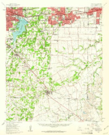
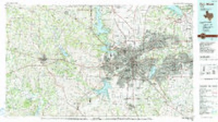
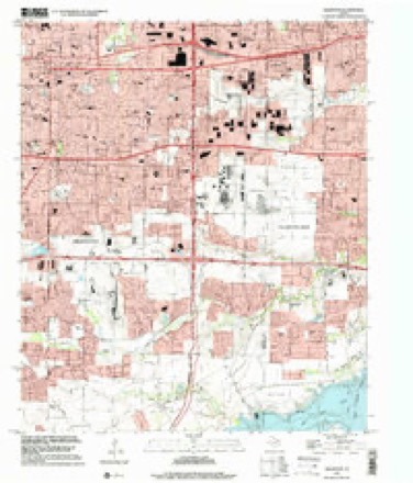
18 topographic sheets cover this place, the earliest surveyed in 1894 and the latest in 1995. It stands in the Arlington census division. It lies in ZIP code area 76002. The Survey maps it on the Arlington quadrangle.
Topographic sheets covering this place
7 surveys from 18 printed sheetsMatched by testing this settlement's coordinate against the published boundary of every sheet in the United States Geological Survey's historical collection. Each opens the scanned sheet at the Survey.
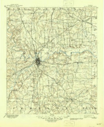
- 1894 USGS Fort Worth quadrangle1:125000, 3 printings
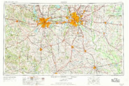
- 1954 USGS Dallas quadrangle1:250000, 4 printings
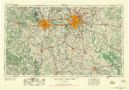
- 1958 USGS Dallas quadrangle1:250000
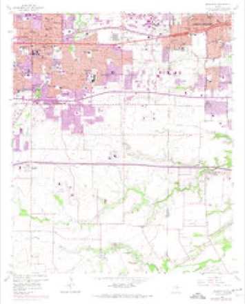
- 1959 USGS Arlington quadrangle1:24000, 6 printings
- 1959 USGS Arlington quadrangle1:62500
- 1985 USGS Fort Worth quadrangle1:100000, 2 printings
- 1995 USGS Arlington quadrangle1:24000
Fires near this place
85 since 2005Regional context, not property-specific evidence. The federal wildfire occurrence database lists 85 fires within 5 miles of Webb between 2005 and 2016, burning about 113 acres in total. None started naturally. 4 were recorded as arson. Distance is straight-line from the map coordinates, so a fire counted here may appear on a neighbouring settlement's page as well.
| Reported cause | Fires |
|---|---|
| Missing data/not specified/undetermined | 59 |
| Debris and open burning | 7 |
| Misuse of fire by a minor | 5 |
| Smoking | 4 |
| Arson/incendiarism | 4 |
| Recreation and ceremony | 4 |
| Power generation/transmission/distribution | 1 |
| Equipment and vehicle use | 1 |
The most recent of them, most recent first, with the day each was reported and the service that recorded it.
| Date | Cause | Size | Reported by | Name on the report |
|---|---|---|---|---|
| 8 September 2012 | Missing data/not specified/undetermined | under an acre | Texas A & M Forest Service | WALNUT CREEK FIRE |
| 6 September 2013 | Arson/incendiarism | 1.0 acres | Texas A & M Forest Service | ALLEN AVE |
| 4 September 2009 | Arson/incendiarism | under an acre | Texas A & M Forest Service | HOLLAND RD |
| 23 September 2012 | Missing data/not specified/undetermined | under an acre | Texas A & M Forest Service | SPYGLASS FIRE |
| 9 August 2012 | Power generation/transmission/distribution | under an acre | Texas A & M Forest Service | OLDCASTLE FIRE |
| 5 August 2010 | Missing data/not specified/undetermined | under an acre | Texas A & M Forest Service | HWY 287 N |
| 21 August 2011 | Missing data/not specified/undetermined | 1.0 acres | Texas A & M Forest Service | NWC BRIDGE |
| 15 August 2011 | Missing data/not specified/undetermined | under an acre | Texas A & M Forest Service | YORK DR |
Settlements close enough to share some of these fires:
Storms near this place
24 since 2011Regional context, not property-specific evidence. The National Weather Service names Webb in 24 storm reports between 2011 and 2025: 17 hail, 2 lightning, 2 flood, 2 thunderstorm wind. The reports record 1 death. Each account below is quoted exactly as the forecast office filed it, from the NOAA Storm Events Database, and each date opens the federal record of that event.
| When | Event | Place named | Harm | What the report says |
|---|---|---|---|---|
| June 2022 | Flood | Webb | 1 killed, $10,000 | A man drowned when his car was swept off the road in the vicinity of a low water crossing near the 7000 Block of Webb Ferrell Road in Arlington, TX. |
| June 2023 | Hail | Webb | $500,000 | A social media photo indicated baseball sized hail near Highway 360 north of Mansfield. |
| June 2025 | Lightning | Webb | $200,000 | A media article reported that a lightning strike likely caused a house fire on Lakewood Drive in Grand Prairie near Joe Pool Lake. Notable damage could be seen to the roof and second story of the home. No injuries were reported. |
| June 2023 | Hail | Webb | $200,000 | no account filed |
| May 2024 | Hail | Webb | $50,000 | A member of the public reported 2 inch hail in Mansfield. Resulted in damage to fences. Skylights, windows, and attic vents were broken. |
| September 2013 | Flood | Webb | $30,000 | Four people had to be rescued in southeast Arlington when Bowman Branch Creek overflowed its banks and trapped their cars. The incidents happened near the intersection of Webb Ferrell Road and Hanrahan Ave. One car was swept off the road, and its two occupants were rescued from the nearby trees. The other car stalled in the high water and the two occupants were rescued from the roof of the car. The creek rose after 4-5 inches of rain fell in a 12 hour period with most of the rain falling during the few hours before the cars were trapped. The water was 4-5 feet deep where the cars were stalled. |
| March 2017 | Thunderstorm Wind | Webb | $10,000 | A social media report indicated downed communications antennas at Collins St and Sublett Rd in Arlington, TX. |
| January 2012 | Lightning | Webb | $10,000 | Lightning struck a 2-story home on the 2900 block of Montalbo in Grand Prairie. |
| May 2011 | Hail | Webb | $10,000 | Golfball sized hail was reported near Arlington Municipal Airport. |
| May 2024 | Hail | Webb | $8,000 | Report from mPING: Golf Ball (1.75 in.). |
| May 2024 | Hail | Webb | $8,000 | Report from mPING: Golf Ball (1.75 in.). |
| April 2015 | Thunderstorm Wind | Webb | $7,000 | A trained spotter estimated 70 mph winds near Joe Pool Lake. Tree branches greater than 2 inches in diameter were knocked down in the area. |
| March 2025 | Hail | Webb | - | Reported via mPING northeast of Mansfield. |
| March 2025 | Hail | Webb | - | Reported via mPING north-northeast of Mansfield. |
| May 2024 | Hail | Webb | - | Report from mPING: Dime (0.75 in.). |
| May 2024 | Hail | Webb | - | Report from mPING: Ping Pong Ball (1.50 in.). |
| May 2024 | Hail | Webb | - | Report from mPING: Dime (0.75 in.). |
| June 2023 | Hail | Webb | - | Report was received via mPING. |
| December 2022 | Hail | Webb | - | A trained spotter reported quarter-sized hail about 3 miles north-northeast of Mansfield, TX. |
| May 2021 | Hail | Webb | - | A public report indicated quarter sized hail approximately 3 miles northeast of Mansfield, TX. |
| April 2020 | Hail | Webb | - | Hail report received via mPing. |
| April 2020 | Hail | Webb | - | Half dollar sized hail was reported at Mira Lagos. |
| May 2015 | Flash Flood | Webb | - | Tarrant County Sheriff's Department reported widespread flooding from Arlington to Rendon, with numerous road closures in place. |
| April 2020 | Hail | Webb | - | no account filed |
Nearest settlements
The eight closest, with where each one stands in the county. Distances are straight-line, computed from the Geographic Names Information System coordinates.
| Map | Place | Distance | Sheets |
|---|---|---|---|
| Sublett | 3.2 miles | 16 | |
| Watsonville | 3.3 miles | 16 | |
| Southland Acres | 3.7 miles | 18 | |
| Johnsons Station | 5.0 miles | 16 | |
| Mansfield | 6.0 miles | 16 | |
| Bisbee | 6.1 miles | 16 | |
| Dalworthington Gardens | 6.5 miles | 16 | |
| Pantego | 7.1 miles | 16 |
Provenance
This settlement is recorded in the Geographic Names Information System as feature 1349582. The sheet list is computed by point-in-boundary test against the United States Geological Survey's historical topographic inventory. Both are works of the United States government and carry no copyright under 17 U.S.C. 105.
Wildfire. Short, Karen C. 2022. Spatial wildfire occurrence data for the United States, 1992-2020 [FPA_FOD_20221014]. 6th Edition. Fort Collins, CO: Forest Service Research Data Archive. https://doi.org/10.2737/RDS-2013-0009.6 Collected with United States Government funding and usable without additional permissions or fees.
Storms. NOAA National Centers for Environmental Information, Storm Events Database https://www.ncei.noaa.gov/stormevents/ A work of the United States government, no copyright under 17 U.S.C. 105. Narratives are quoted verbatim from the National Weather Service report and are not edited or summarised.