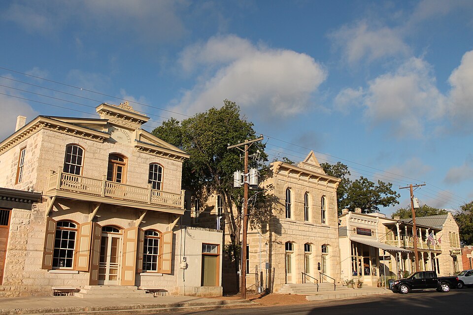
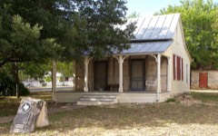
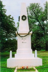
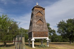
Listed on the National Register of Historic Places in 1979.
From the record
“The Comfort Historic District is a historic district listed in the National Register of Historic Places that encompasses almost all of the original townsite of Comfort, Texas and includes over 100 buildings that represents a century of development from 1854 through 1954.”
Wikipedia article Comfort Historic District, CC BY-SA 4.0.
One of 12 National Register listings published here for Kendall County · listed in 1979 · category: District.
Architectural style. Victorian architecture, Queen Anne style
National Register reference number.79002989- the number the National Park Service assigned this property when it was listed, and the key its nomination file is catalogued under at the National Archives.
Fires near this property
73 since 2006
Regional context, not property-specific
evidence. The
federal wildfire occurrence database
lists 73 fires within 5 miles of Comfort Historic District
between 2006 and 2020, burning about 294 acres in total. 2 started naturally. None was recorded as arson.
Distance is straight-line from the map coordinates, so a fire counted
here may appear on a neighbouring settlement's page as well.
Reported cause
Fires
Missing data/not specified/undetermined
31
Debris and open burning
22
Equipment and vehicle use
12
Smoking
3
Natural
2
Power generation/transmission/distribution
2
Misuse of fire by a minor
1
The most recent of
them, most recent first, with the day each was reported and the service
that recorded it.
Regional context, not property-specific
evidence. The National Weather Service names
Comfort, the town this property stands in, in 27 storm reports between 1993 and 2026: 15 hail, 6 flash flood, 4 thunderstorm wind, 2 tornado.
The reports record 1 death. Each account below is quoted exactly as the forecast office
filed it, from the NOAA Storm Events Database, and each date
opens the federal record of that event.
A young lady drowned on Cypress Creek near the intersection of Highway 27 and Water Street in Comfort. The car was swept off into the creek due to heavy rain. Two occupants made it to safety. One other occupant drowned and was recovered several miles downstream.
There was catastrophic flash flooding along the Guadalupe River after around ten inches of rain fell in approximately four hours over the headwaters of the river. The flood wave moved downstream into Kendall County. Water from the Guadalupe backed up Cypress Creek in Comfort. Water was 5.6 feet above the bridge on 7th St in Comfort.
Damaging winds knocked over several trees and damaged a home just south of Comfort in a path that ran from north to south. The winds tore a patio roof off the house, lifted it up over the roof and deposited it on the south side of the house. Some of the trees damaged in the area had diameters of over 12 inches. The winds were preceded by heavy rain, and followed by hail and a small tornado.
Golf ball to baseball-size hail was reported in Comfort. The County Sheriff's Office reported a large signs blown down and wind damage to a gas pump in Boerne. Several cars were damaged across the County.
Golf ball to baseball-size hail was reported in Comfort. The County Sheriff's Office reported a large signs blown down and wind damage to a gas pump in Boerne. Several cars were damaged across the County.
A general 2 to 3 inch rain over northern Kendall County resulted in numerous rural roads cut by flash flooding through the afternoon. FM473 and FM1376 were closed near Sisterdale.
Between 1 and 2 inches of rain fell between Comfort and Sisterdale, with up to 4 inch totals just south of Comfort. FM473 was closed due to flash flooding east of Comfort. FM1376 was closed south of Sisterdale.
An NWS survey found evidence of a tornado that struck at the southeast end of the wind damage area in Kendall County, about one mile south of the Waring exit off IH10. Trees at one home in this area again showed severe damage with many broken off above the ground and others blown over. However in this one case the tree limbs and trees were not oriented toward the southeast but instead were generally laid down in all different directions. The home within 50 yards of the damage area suffered no damage at all. This change in orientation, along with the very narrow area, the well defined nature of the path, and stronger level of damage, led the team to conclude that the damage was caused by a small and short-lived tornado. The tornado was rated as F0.
Widespread severe damage from the line of thunderstorms was also found along SH27 between Center Point and Comfort in Kendall County. Large tree limbs were knocked out of trees and healthy mesquite trees of up to 8 inches in diameter were broken off above the ground or blown over completely. This level of damage continued eastward to just beyond Comfort. It appeared to stretch southward from this portion of SH27 for around 4 miles.
Thunderstorms over western Kendall County produced general 1 to 2 inch totals. Highest amounts were near 3 inches between Comfort and Boerne, where several roads, including FM1376 and FM473 were closed due to the flooding.
A small tornado developed behind the damaging winds, heavy rain, and large hail, moving southward for three-fourths of a mile, then lifting. It did not appear to have caused any damage
No historic map-sheet match is published
for this property yet. That does not mean no map exists. This record needs
a coordinate-quality review before it can be joined to a sheet boundary.
Browse the county's mapped places while that work is
pending.
Listed places nearby
5 within 8 miles
Other National Register properties close
enough to walk or drive between, ordered by distance from this one. Both
positions come from the same geocoding pass that matched these properties
to their map sheets.
Listing record. National Park Service National Register of Historic Places, listed-properties dataset, current to 2026-05-22.
Map join. Address geocoded through the United States Census geocoder, then tested against the published boundary of every sheet in the USGS Historical Topographic Map Collection.
How this page is made. Listing fields come from federal records; map-sheet coverage is a labelled coordinate-to-boundary calculation, not a source-field claim.
Wildfire. Short, Karen C. 2022. Spatial wildfire occurrence data for the United States, 1992-2020 [FPA_FOD_20221014]. 6th Edition. Fort Collins, CO: Forest Service Research Data Archive. https://doi.org/10.2737/RDS-2013-0009.6 Collected with United States Government funding and usable without additional permissions or fees.
Storms. NOAA National Centers for Environmental Information, Storm Events Database https://www.ncei.noaa.gov/stormevents/ A work of the United States government, no copyright under 17 U.S.C. 105. Narratives are quoted verbatim from the National Weather Service report and are not edited or summarised.
 Block
Block