 Block
BlockFrom the record
12 National Register listings published here.
Sources: the National Register database, National Park Service
35 topographic sheets cover 14 settlements here, and 12 properties are on the National Register of Historic Places.
12 National Register listings published here.
Sources: the National Register database, National Park Service
Every property in this county listed on the National Register of Historic Places, with the year it was listed and the federal nomination document.
| Photograph | Property | Type | Listed | Reference |
|---|---|---|---|---|
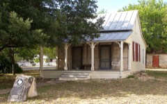 | Otto Brinkmann House | building | 1977 | 77001457 |
 | Comfort Historic District | district | 1979 | 79002989 |
 | Comfort Historic District (Boundary Increase) | district | 2004 | 04000911 |
 | Joseph Dienger Building | building | 1984 | 84001901 |
 | Gazebo for Alber Steves | structure | 2004 | 04001171 |
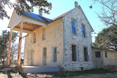 | Herff-Rozelle Farm | district | 2009 | 09000983 |
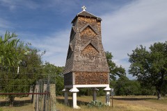 | Hygieostatic Bat Roost | structure | 1983 | 83003144 |
 | Kendall County Courthouse and Jail | building | 1980 | 80004138 |
 | Kendall Inn | building | 1976 | 76002045 |
 | Sisterdale Valley District | district | 1975 | 75001996 |
 | Treue Der Union Monument | object | 1978 | 78002966 |
| Voelcker-Sueltenfuss House | building | 2017 | 100001722 |
Drawn when these were printed as single large sheets: the town seen from the air, and the county divided into its farms with every owner named. Each opens the original at the Library of Congress.


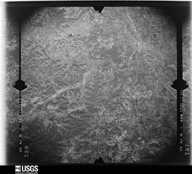
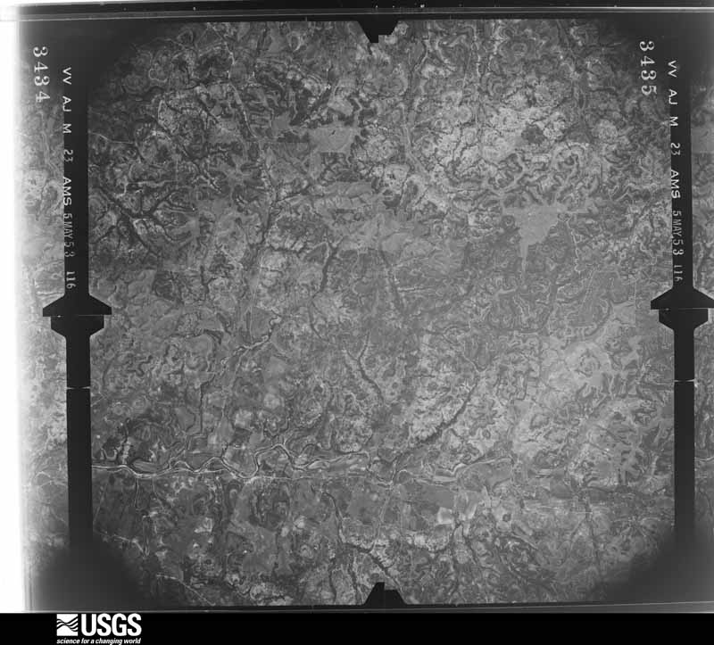
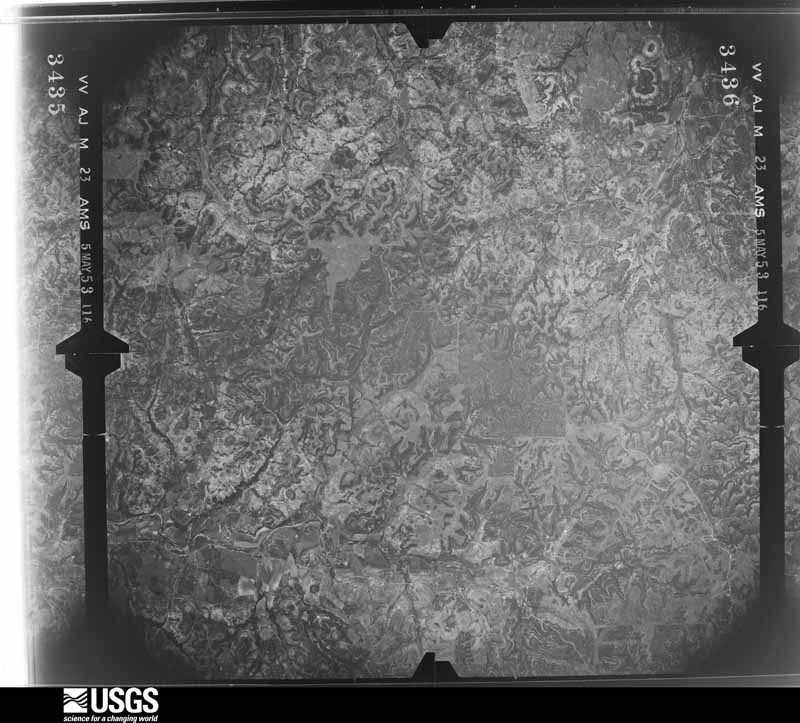
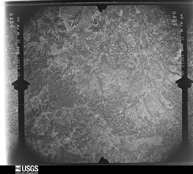
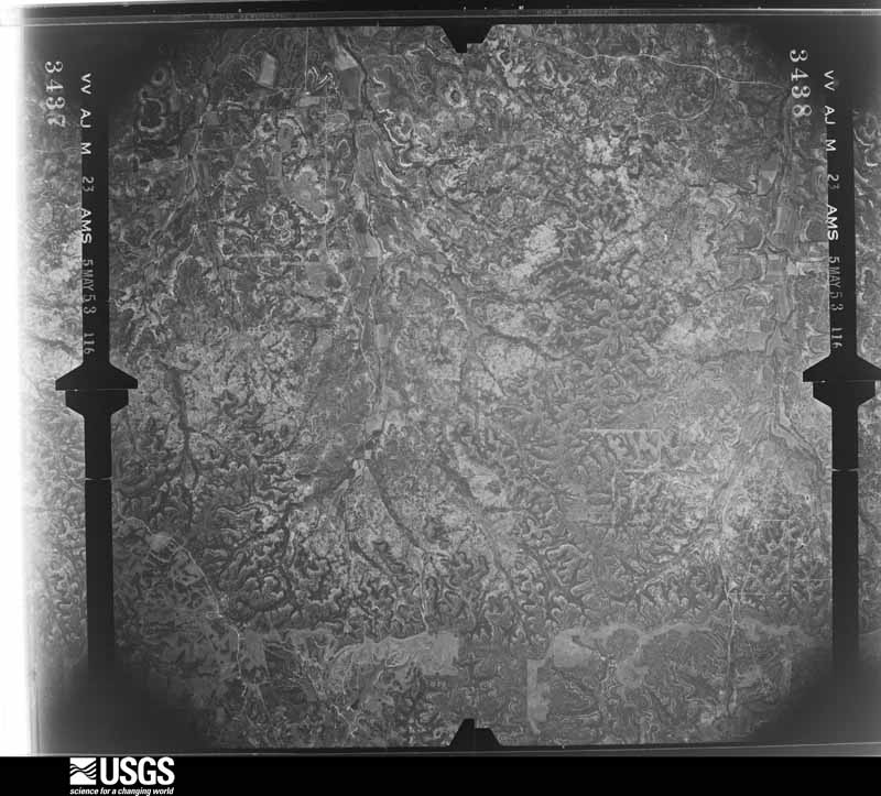
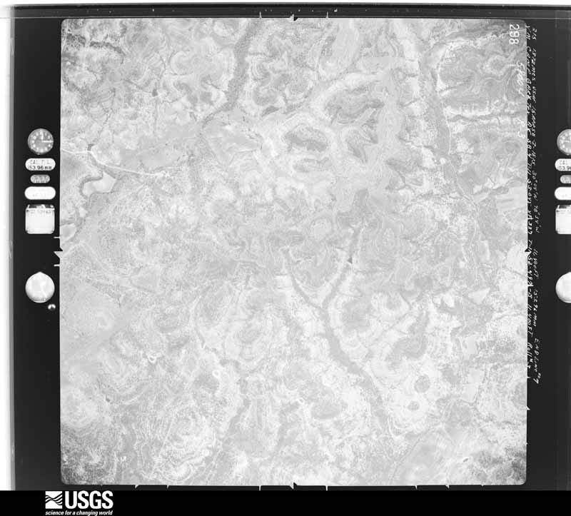
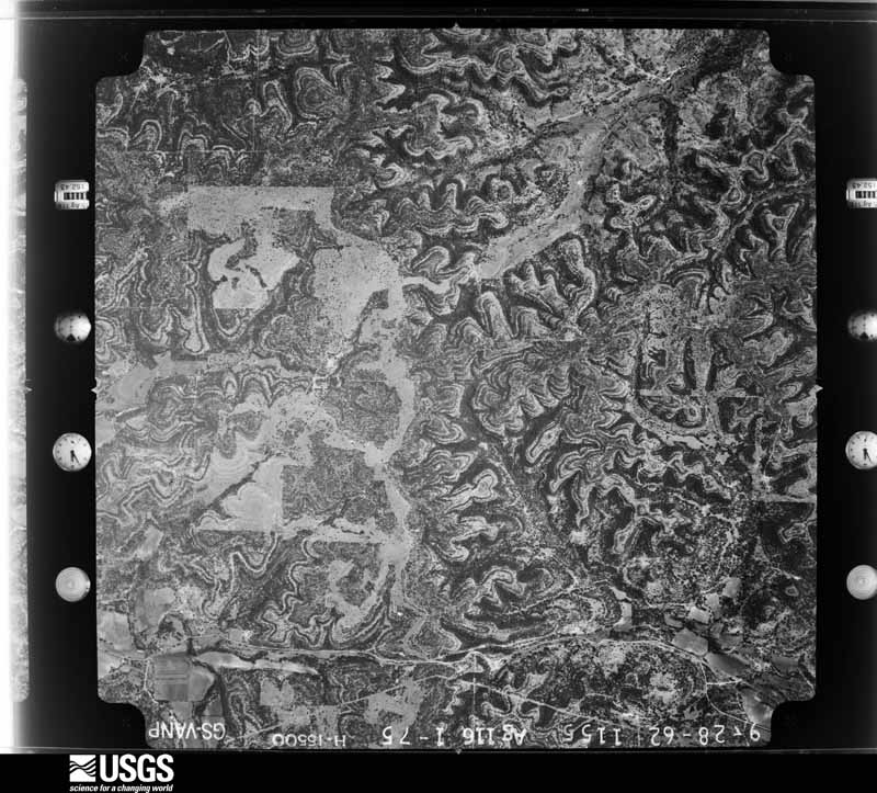
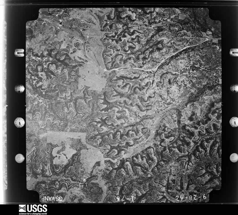
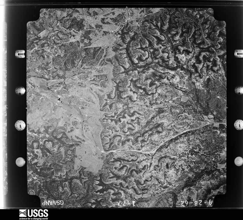
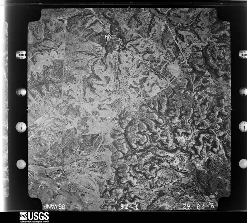
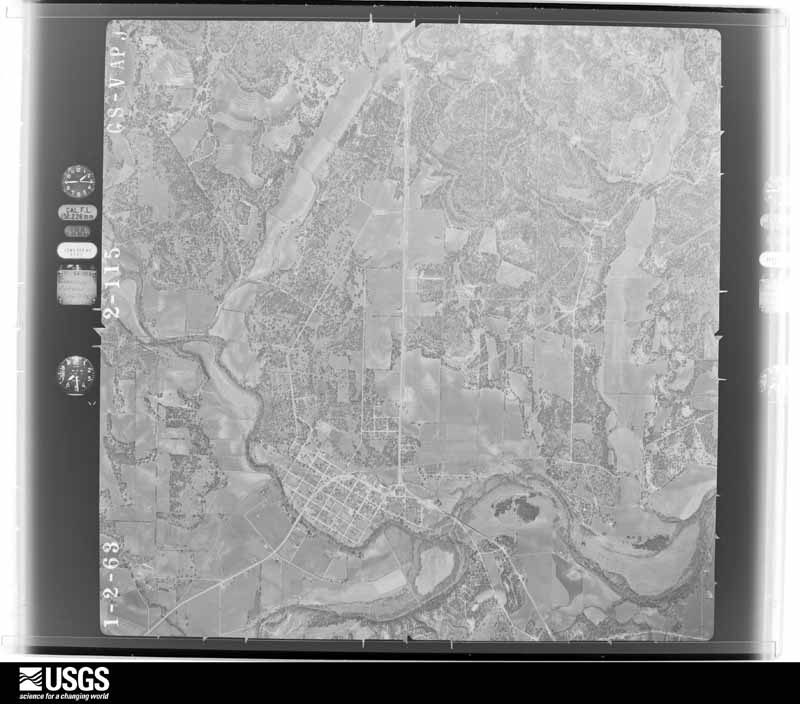
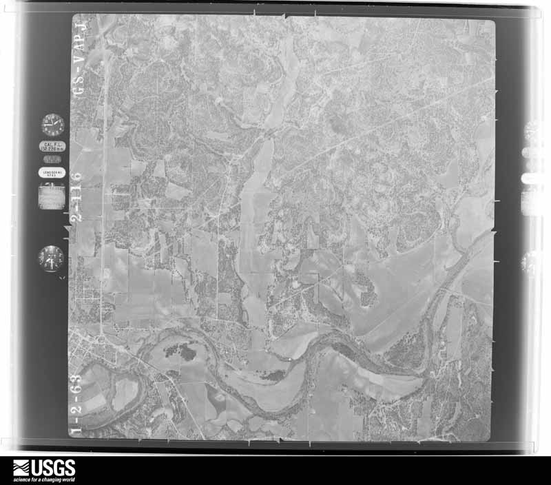
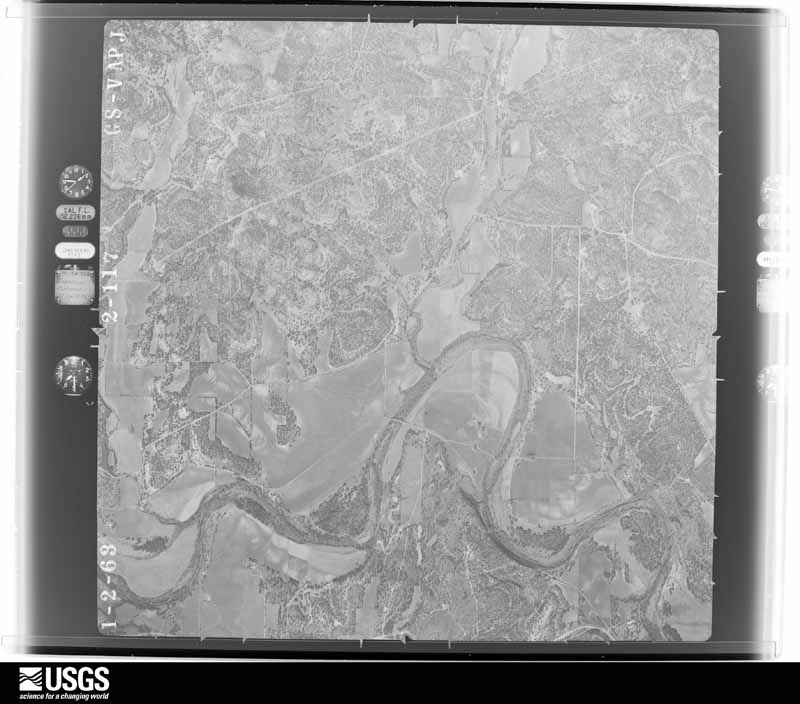
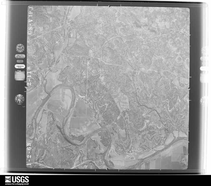
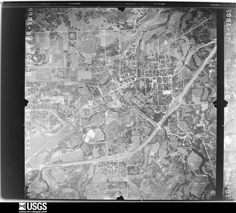
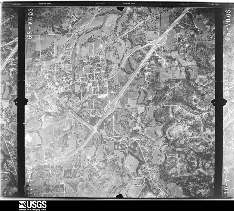
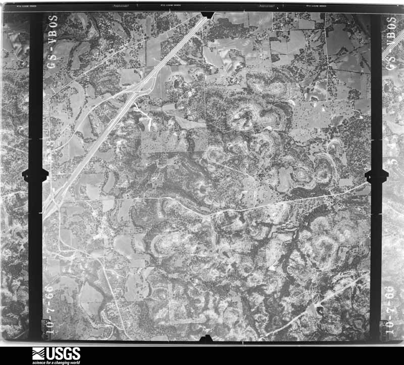
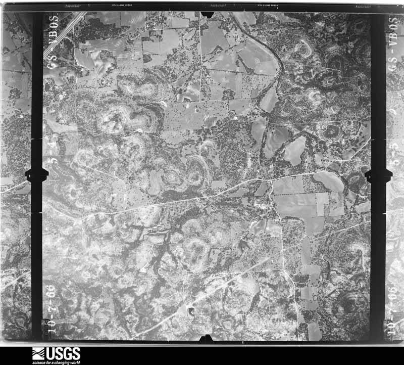
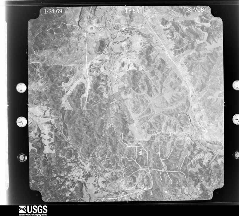
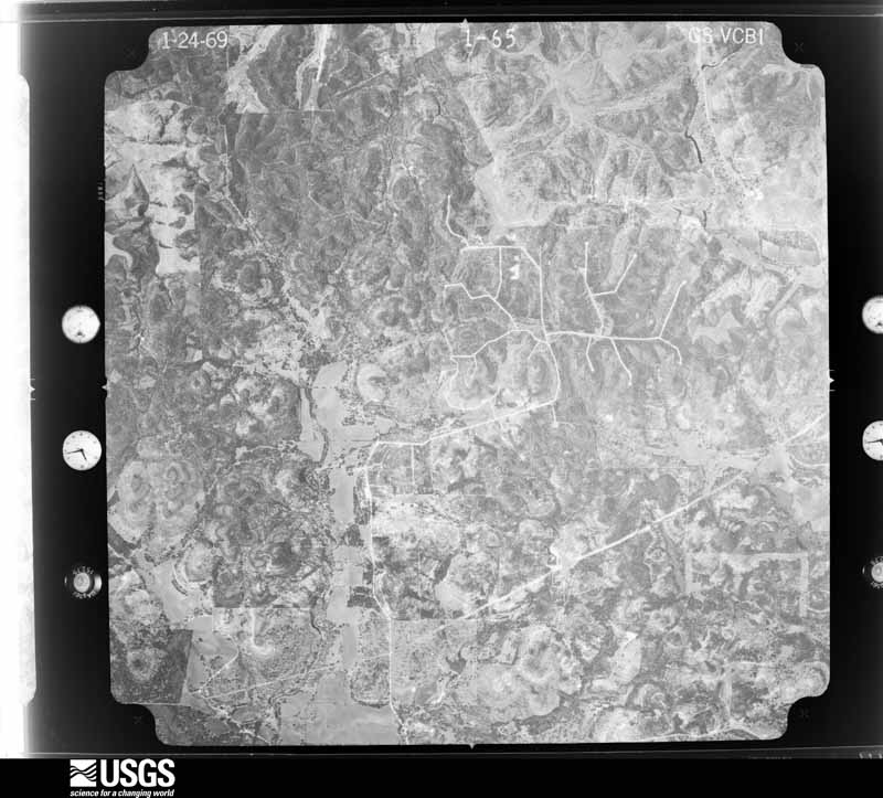
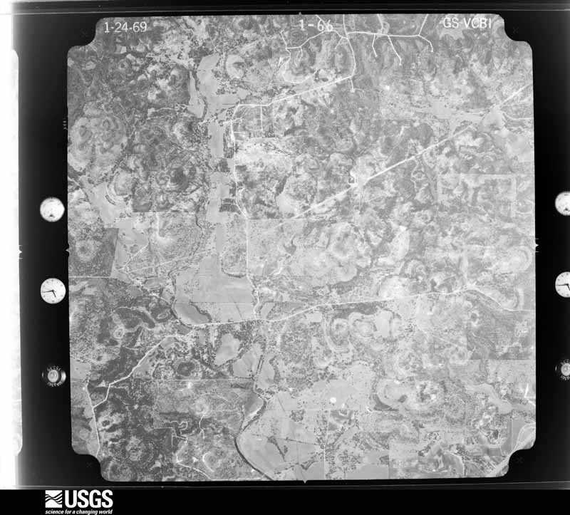
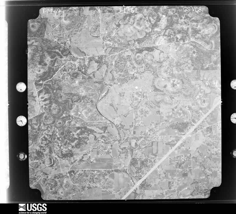
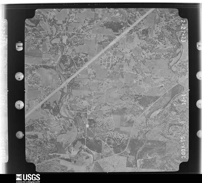
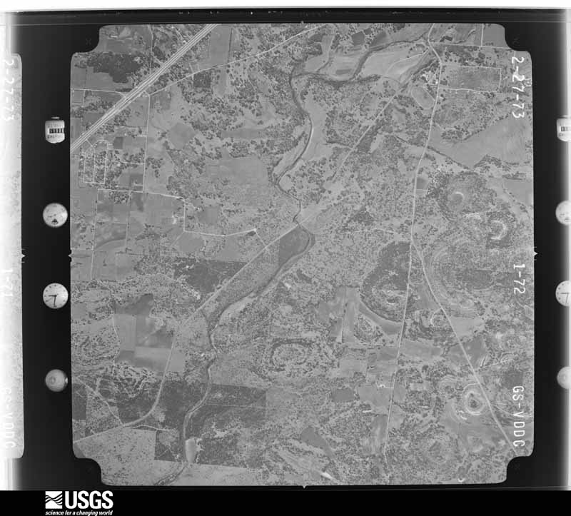
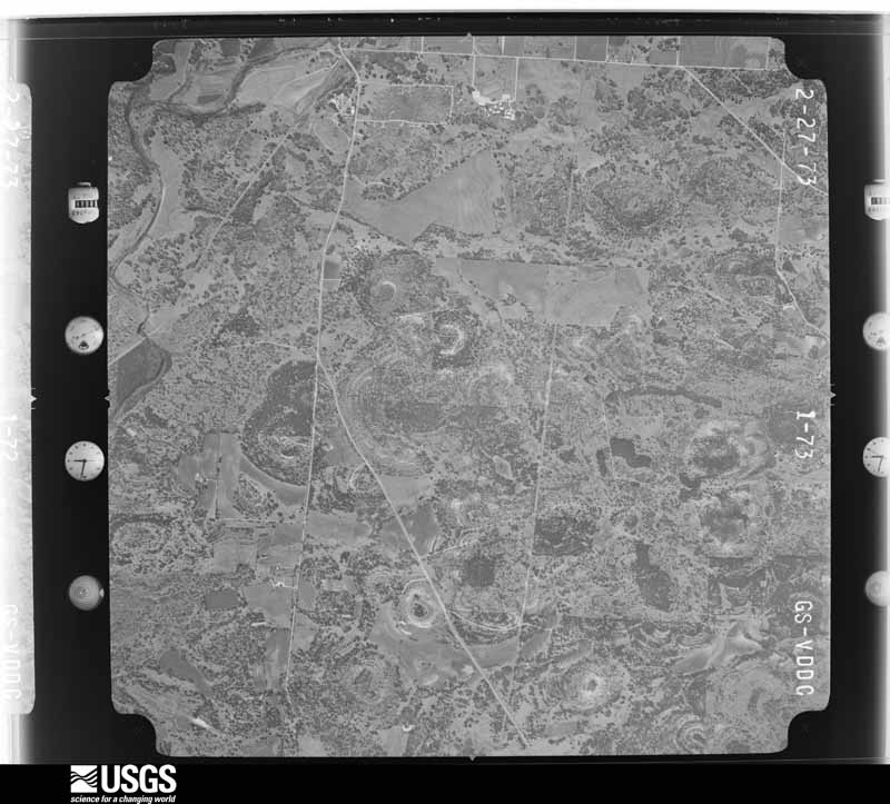
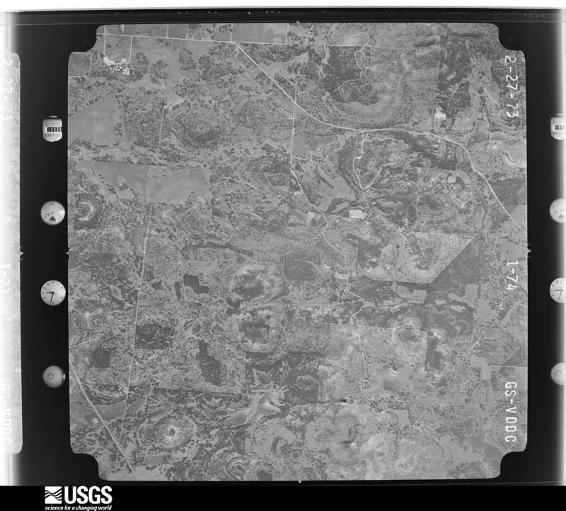
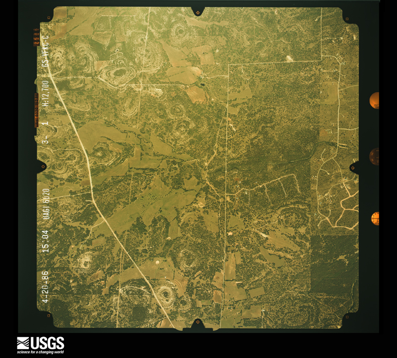
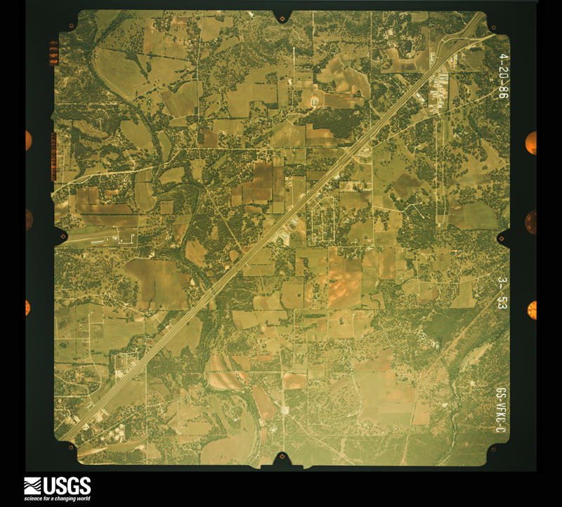
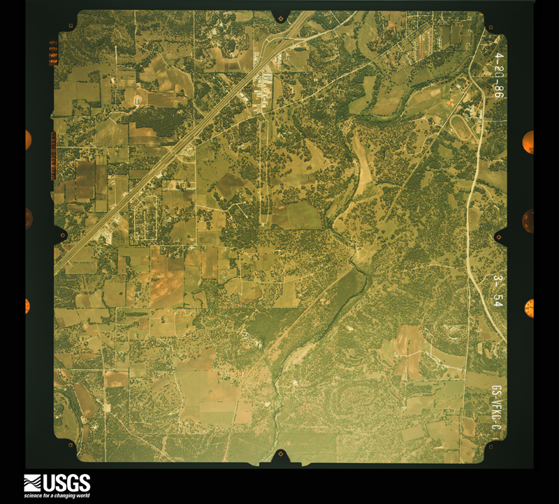
Flown by the U.S. Geological Survey between 1937 and 1989, the Aerial Photo Single Frames collection is the definitive mid-century view of the land: fields, roads and rivers as the camera saw them. The Survey holds 700 frames inside the rectangle that bounds this county; the 40 frames below were taken over the county itself, chosen across the decades of flights (at most four a year from that rectangle), so one flight cannot crowd out the rest. The full set is free to browse and download at EarthExplorer under the dataset Aerial Photo Single Frames.











The thermometers that kept this county's weather, and the gages that measured the flow of its streams, as the federal records hold them. The extremes below are measured values from those records, not estimates.
Who lived here in 1950, one enumeration district at a time, as the Census Bureau described each district. Each row opens its official National Archives result, with Population Schedules and ED Maps available there.
Every wildfire the federal occurrence database records inside this county: 426 of them, burning about 5,315 acres. 13 started naturally and 4 were recorded as arson. Each settlement page carries the fires within five miles of it.
| Reported cause | Fires |
|---|---|
| Debris and open burning | 206 |
| Missing data/not specified/undetermined | 126 |
| Equipment and vehicle use | 60 |
| Natural | 13 |
| Smoking | 7 |
| Arson/incendiarism | 4 |
| Recreation and ceremony | 4 |
| Power generation/transmission/distribution | 4 |
| Misuse of fire by a minor | 1 |
| Fireworks | 1 |
The five largest, by the area the report gives. None of them was recorded as arson.
| Date | Cause | Size | Reported by | Name on the report |
|---|---|---|---|---|
| 3 February 2004 | Debris and open burning | 600 acres | Texas A & M Forest Service | HILL COUNTRY - 4 |
| 2 April 2009 | Equipment and vehicle use | 520 acres | Texas A & M Forest Service | TURKEY KNOB |
| 3 April 2009 | Debris and open burning | 300 acres | Texas A & M Forest Service | SIEBENICHER |
| 24 August 2009 | Natural | 221 acres | Texas A & M Forest Service | BIG HILL |
| 19 June 2011 | Missing data/not specified/undetermined | 150 acres | Texas A & M Forest Service | GREEN CEDAR FIRE |
| 21 February 2007 | Missing data/not specified/undetermined | 150 acres | Texas A & M Forest Service | not named |
| 19 October 2007 | Debris and open burning | 150 acres | Texas A & M Forest Service | not named |
| 17 March 2009 | Debris and open burning | 125 acres | Texas A & M Forest Service | OW FIRE |
Every settlement page carries the fires within five miles of it - see the settlement index below.
The NOAA Storm Events Database holds 271 reports for this county, causing 6 deaths, 24 injuries and about $15,541,983 in recorded property damage. Each settlement page carries the reports that name it.
| Kind of event | Reports |
|---|---|
| Hail | 128 |
| Flash Flood | 83 |
| Thunderstorm Wind | 39 |
| Tornado | 21 |
The most serious of them, by death, then injury, then recorded damage. The accounts are quoted exactly as the forecast office filed them.
| When | Event | Place named | Harm | What the report says |
|---|---|---|---|---|
| August 2007 | Flash Flood | Boerne | 2 killed, $300,000 | The extremely heavy rainfall associated with the remains of Tropical Storm Erin moved into Kendall County in the afternoon, producing between 3 and 5 inches over most of the county. Highest rain totals were 8 inches between Boerne and Sisterdale. Most roads in the county were closed and several families had to be evacuated along Cypress Creek due to flooding. City Lake was reported to be only six feet below the spillway. It had only been topped twice in the past 10 years. Near 1900 CST on the evening of April 16, a man and his son were in a truck traveling along FM473 when they attempted to drive across a bridge near FM1376 that was already flooded by Sisterdale Creek. The truck stalled and both men crawled out of the cab through the rear window and stood in the truck bed. Rescuers who arrived within minutes were unable to pass them life jackets or to secure a rope to the truck before a surge of water lifted the vehicle and swept it over the bridge. The father and son were washed into the creek and drowned. |
| May 2007 | Flash Flood | Kendalia | 2 killed | General rainfall of 1 to 2 inches caused brief flash flooding in the area just east of Kendalia. Between 2100 CST and 2130CST, a woman was returning home and while driving on Crabapple Lane in eastern Kendall County and attempted to cross a low water crossing on her drive. The vehicle was apparently washed off the road or partially off the road. Sometime later, her husband noticed the headlights and got in his vehicle to check. He attempted to wade through the water to rescue his wife. Both were drowned in the flood. |
| May 2016 | Flash Flood | Comfort | 1 killed | A young lady drowned on Cypress Creek near the intersection of Highway 27 and Water Street in Comfort. The car was swept off into the creek due to heavy rain. Two occupants made it to safety. One other occupant drowned and was recovered several miles downstream. |
| July 2002 | Flash Flood | Countywide | 1 killed | Nearly all of Kendall County received an additional 3 to 4 inches of rain on July 3. Amounts of up to 10 inches were reported in the northwest part of the county. Streams and creeks that had remained in flood through the day continued to build, with roads closed across the county. The flash flooding continued through the early morning hours, finally ending near noon on July 4. A young man was drowned after the car that he and a companion were riding in was washed into swollen Menger Creek, just south of the town of Boerne on the afternoon of July 4. They were returning to San Antonio when they turned a corner and saw water from Menger Creek moving rapidly over the road. Both were able to get out of the car, but only the companion survived. M32Ve |
| October 1998 | Flash Flood | Countywide | 10 hurt, $50,000 | no account filed |
| June 1997 | Flash Flood | Countywide | 5 hurt, $5,000,000 | no account filed |
| November 2001 | Flash Flood | Countywide | 5 hurt, $50,000 | no account filed |
| November 2001 | Tornado (F0) | Boerne | 2 hurt, $100,000 | A second and larger tornado was observed by the Kendall County Sheriff's Department 4 miles west of Boerne along SH46. This tornado moved toward the northeast, causing extensive damage to mobile homes, trees, fences, and roofs. No injuries were reported. |
| March 1983 | Tornado (F2) | not stated | 1 hurt, $250,000 | no account filed |
| July 2003 | Thunderstorm Wind | Waring | 1 hurt, $50,000 | The east-west oriented line of thunderstorms associated with the cold front continued to move southward through Blanco County. As it moved into the southern part of the county, it produced a downburst between Warning and Sisterdale that knocked over many trees. One person was injured when struck by debris. |
| July 2025 | Flash Flood | Comfort | $5,000,000 | There was catastrophic flash flooding along the Guadalupe River after around ten inches of rain fell in approximately four hours over the headwaters of the river. The flood wave moved downstream into Kendall County. Water from the Guadalupe backed up Cypress Creek in Comfort. Water was 5.6 feet above the bridge on 7th St in Comfort. |
| March 1976 | Tornado (F2) | not stated | $2,500,000 | no account filed |
| July 2023 | Thunderstorm Wind | Welfare | $1,000,000 | A thunderstorm produced wind gusts estimated at 70 mph that snapped power poles and knocked down a large metal building that was under construction west of Welfare. |
| June 2003 | Thunderstorm Wind | Boerne | $100,000 | Severe thunderstorm winds blew down trees in the Boerne area. The winds also rolled over a trailer, crushing it. |
| October 2001 | Thunderstorm Wind | Comfort | $100,000 | Severe thunderstorm winds blew roofs off homes in the Comfort area. |
| March 2003 | Thunderstorm Wind | Comfort | $80,000 | Damaging winds knocked over several trees and damaged a home just south of Comfort in a path that ran from north to south. The winds tore a patio roof off the house, lifted it up over the roof and deposited it on the south side of the house. Some of the trees damaged in the area had diameters of over 12 inches. The winds were preceded by heavy rain, and followed by hail and a small tornado. |
| April 2006 | Hail | Kendalia | $50,000 | Hail up to the size of baseballs destroyed windshields and dented cars as well as breaking hundreds of windows in homes in and around Kendalia. |
| June 2003 | Thunderstorm Wind | Boerne | $50,000 | Severe thunderstorm winds knocked over trees and blew down power lines in Boerne. The winds also took off a portion of the roof of St. Peter's Catholic Church. |
| May 2002 | Thunderstorm Wind | Boerne | $50,000 | Widespread damage was reported to trees northwest of Boerne. Numerous large limbs were knocked to the ground. |
| May 2001 | Thunderstorm Wind | Boerne | $50,000 | Severe thunderstorm winds damaged the roofs of homes, and windows in homes and cars. The winds also blew down trees and light poles. |
| October 1993 | Hail | Comfort | $50,000 | Golf ball to baseball-size hail was reported in Comfort. The County Sheriff's Office reported a large signs blown down and wind damage to a gas pump in Boerne. Several cars were damaged across the County. |
| October 2000 | Flash Flood | South Portion | $50,000 | no account filed |
| June 2002 | Flash Flood | Countywide | $30,000 | General 3 to 4 inch rainfall totals with isolated amounts of up to 9 inches. |
| October 2002 | Flash Flood | Countywide | $30,000 | By sunrise, showers and thunderstorms had been producing heavy rain over much of Kerr County for the past hour, and this continued until mid-morning. Rainfall was heaviest in the western part of the County, where average amounts were 2 to 3 inches and isolated totals of up to 5 inches were reported. Flash flooding began shortly after sunrise and continued until noon. Damage was reported to County roads and bridges. |
| June 1998 | Hail | Sisterdale | $30,000 | Hail broke out windows in buildings. |
| September 1997 | Thunderstorm Wind | Countywide | $30,000 | no account filed |
| September 1997 | Thunderstorm Wind | Sisterdale | $30,000 | no account filed |
| April 2017 | Thunderstorm Wind | Boerne | $25,000 | A thunderstorm produced wind gusts estimated at 90 mph that destroyed a large metal building in Boerne. |
| November 2000 | Flash Flood | Countywide | $25,000 | no account filed |
| March 1983 | Tornado (F1) | not stated | $25,000 | no account filed |
| March 1979 | Tornado (F1) | not stated | $25,000 | no account filed |
| May 1969 | Tornado (F3) | not stated | $25,000 | no account filed |
| May 1950 | Tornado (F2) | not stated | $25,000 | no account filed |
| September 2011 | Thunderstorm Wind | Sisterdale | $20,000 | A thunderstorm produced wind gusts estimated at 60 mph which snapped a large oak tree in half and pulled a tin roof off a house in Sisterdale. |
| July 2009 | Thunderstorm Wind | Waring | $20,000 | Thunderstorms produced strong winds which blew down trees and damaged some roofs. |
| May 2001 | Hail | Boerne | $20,000 | no account filed |
| August 2001 | Flash Flood | Countywide | $20,000 | no account filed |
| September 2001 | Flash Flood | Countywide | $20,000 | no account filed |
| March 1998 | Flash Flood | Countywide | $20,000 | no account filed |
| May 1997 | Flash Flood | Countywide | $20,000 | no account filed |
| March 1999 | Thunderstorm Wind | Welfare | $15,000 | Trees were blown down by severe thunderstorm winds |
| February 1997 | Flash Flood | Countywide | $15,000 | no account filed |
| June 1997 | Flash Flood | Countywide | $15,000 | no account filed |
| October 2025 | Thunderstorm Wind | Comfort | $10,000 | A thunderstorm produced wind gusts estimated at 60 mph that tore some metal roofing and solar panels off a house near Comfort. |
| August 2007 | Tornado (EF1) | Boerne | $10,000 | The Sheriff's Department reported that a short-lived, small tornado touched down at the Cave-Without-a-Name northeast of Boerne. The tornado struck a small building and caused minor damage before lifting and dissipating. There were no injuries. |
| May 2006 | Hail | Sisterdale | $10,000 | Hail as large as softballs smashed the windshield and dented the body of a DPS vehicle near Sisterdale. |
| February 2003 | Flash Flood | Countywide | $10,000 | General 1 to 2 inch rains, with isolated totals to 4 inches, fell in the early morning hours over already saturated soils in the county, causing flash flooding. Dozens of county roads were closed. |
| June 2003 | Thunderstorm Wind | Boerne | $10,000 | A severe thunderstorm winds blew down trees north of Boerne. |
| October 2002 | Flash Flood | Countywide | $10,000 | Scattered evening thunderstorms produced general 1 to 2 totals across the county, with isolated amounts to 7 inches at Comfort. The Sheriff's Department reported several roads closed in the extreme western part of the county during the late evening. |
| November 2001 | Tornado (F0) | Boerne | $10,000 | A small tornado rated F0 struck in the open near Boerne...causing spotty minor damage to trees. |
| August 2001 | Flash Flood | Countywide | $10,000 | no account filed |
| August 1998 | Flash Flood | Countywide | $10,000 | no account filed |
| April 1997 | Flash Flood | Countywide | $10,000 | no account filed |
| May 2017 | Thunderstorm Wind | Sisterdale | $5,000 | A thunderstorm produced wind gusts estimated at 70 mph that blew down numerous trees on the property of the Sisterdale COOP observer. |
| April 2010 | Hail | Kendalia | $5,000 | A thunderstorm produced ping pong ball size hail which damaged a car. |
| January 2004 | Flash Flood | Northwest Portion | $5,000 | General 1 to 2 inch totals fell across Kendall County, with isolated amounts to 3 inches in the northwest portion. Several roads were closed due to flash flooding. |
| February 2003 | Flash Flood | Countywide | $5,000 | General 1 inch rainfall with isolated totals to 2 inches, combined with area soils that were already saturated, caused countywide flash flooding from the mid morning into the mid afternoon. |
| March 2003 | Flash Flood | Countywide | $5,000 | Rainfall from mid afternoon into the early evening produced general amounts near 1 inch with scattered totals to 3 inches. Due to the saturated nature of soils across the county, brief flash flooding developed over low areas and low water crossings. |
| June 2003 | Flash Flood | South Portion | $5,000 | Showers and thunderstorms that developed in the mid afternoon across the southern half of Kendall County and eastern Kerr County continued into late afternoon, producing general 1 to 2 inch amounts. The highest accumulations were in southern Kendall County, where between 3 and 4 inch amounts were reported. Brief flash flooding developed near 1700CST. Damage to roads and bridges was minor. |
| June 2003 | Flash Flood | North Portion | $5,000 | The line of showers and thunderstorms moved into Kendall County in the late afternoon, with rain amounts averaging between 1 and 2 inches over the northern half of the county. Highest totals were east of Kendalia where between 3 and 4 inches was reported. Flash flooding was reported on FM473 between Kendalia and Twin Sisters, in Blanco County, through the early evening. |
Named settlements recorded in the Geographic Names Information System, each with the topographic sheets covering it. Villages, hamlets and abandoned places alike. Each is shown with the nearest named watercourse or landform and the survey quadrangle it falls on.
Comfort census division · 78006 · On Sabinas Creek · Sisterdale quadrangle
10 sheets, 1954 to 1992
Boerne census division · 78006 · On Frederick Creek · Boerne quadrangle
12 sheets, 1954 to 1992
Comfort census division · 78013 · On Cypress Creek · Comfort quadrangle
10 sheets, 1954 to 1992
Comfort census division · 78027 · On Ross Creek · Kendalia quadrangle
10 sheets, 1954 to 1992
Boerne census division · 78006 · Near Smith Hill · Boerne quadrangle
12 sheets, 1954 to 1992
Comfort census division · 78606 · On Delaware Creek · Whitworth Ranch quadrangle
11 sheets, 1894 to 1985
Boerne census division · 78006 · On Allen Creek · Waring quadrangle
10 sheets, 1954 to 1992
Comfort census division · 78006 · Near Big Spring Canyon · Kendalia quadrangle
10 sheets, 1954 to 1992
Comfort census division · 78006 · On East Sister Creek · Sisterdale quadrangle
10 sheets, 1954 to 1992
Boerne census division · 78006 · Near Sabinas Mountain · Boerne quadrangle
12 sheets, 1954 to 1992
Comfort census division · 78074 · Near Coffee Hollow · Waring quadrangle
10 sheets, 1954 to 1992
Boerne census division · 78006 · On Big Joshua Creek · Waring quadrangle
10 sheets, 1954 to 1992