 Block
From the record
4 National Register listings published here.
Sources: the National Register database, National Park Service
77 topographic sheets and 6 fire insurance atlases across 3 places.
4 National Register listings published here.
Sources: the National Register database, National Park Service
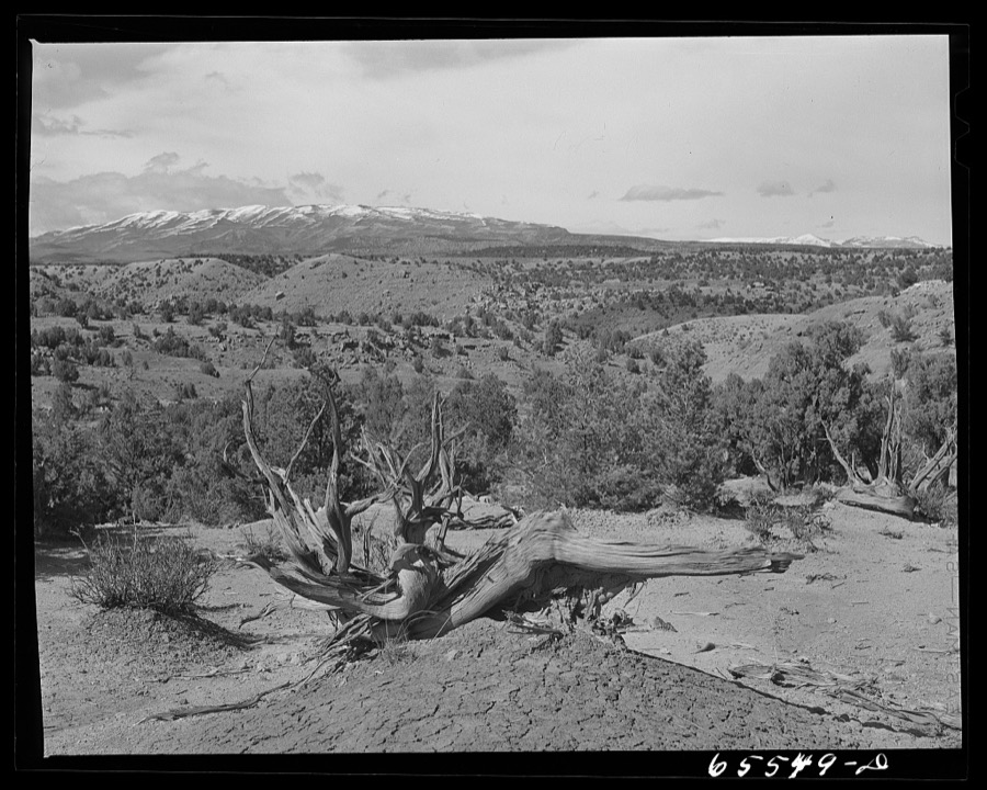
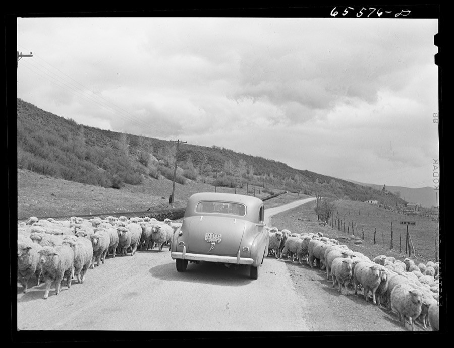
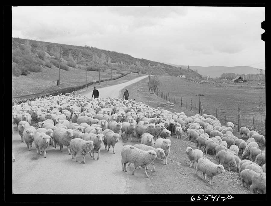
Taken for the Office of War Information and the Farm Security Administration, who photographed the country between 1935 and 1944. Works of United States government photographers, with no known restriction on use. Each opens its catalogue record.
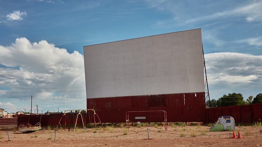
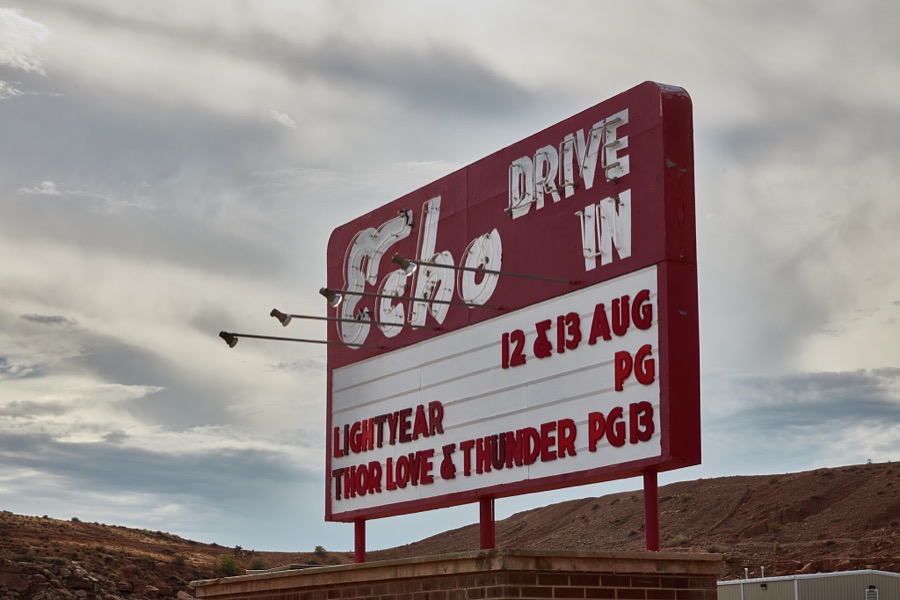
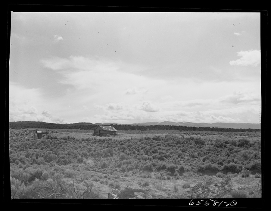
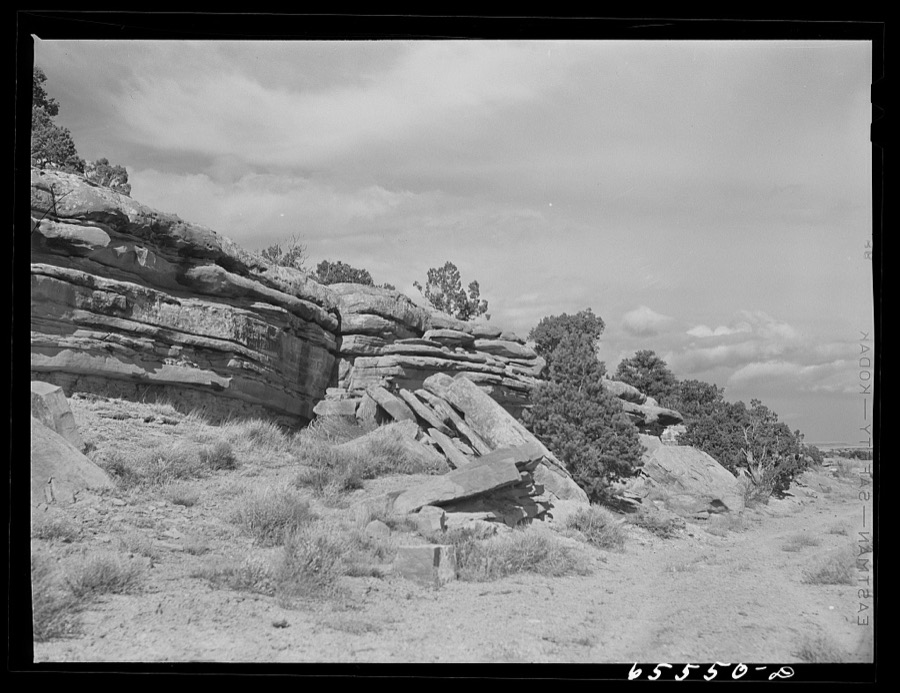
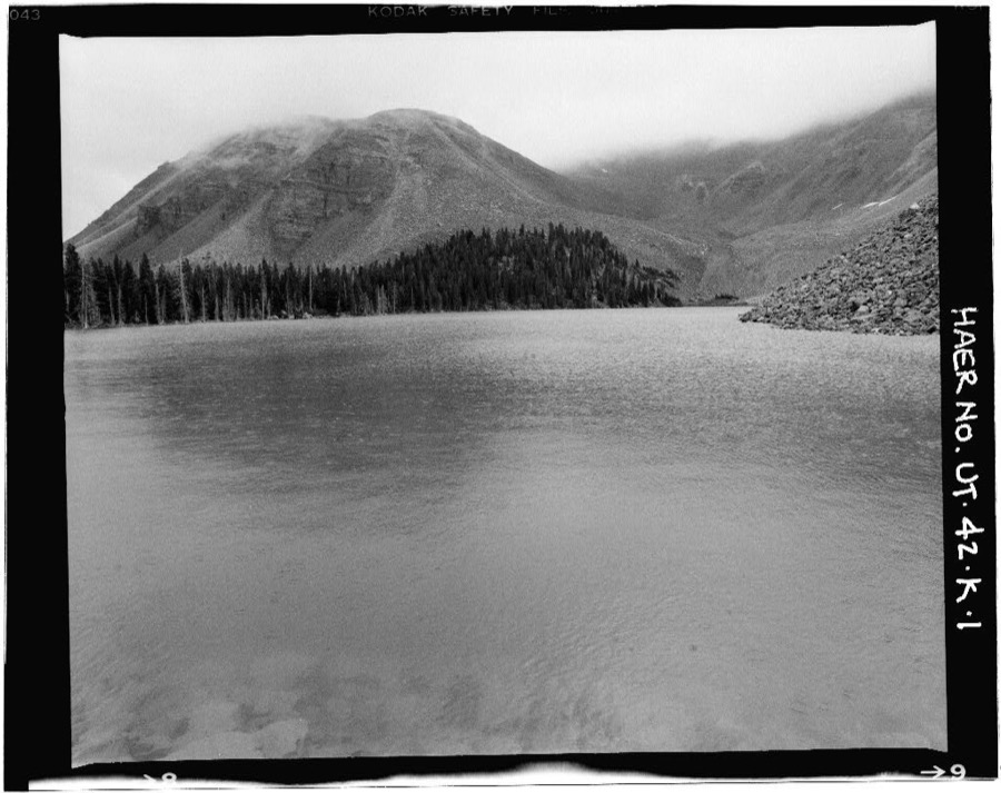
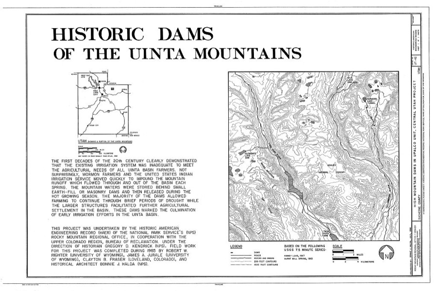
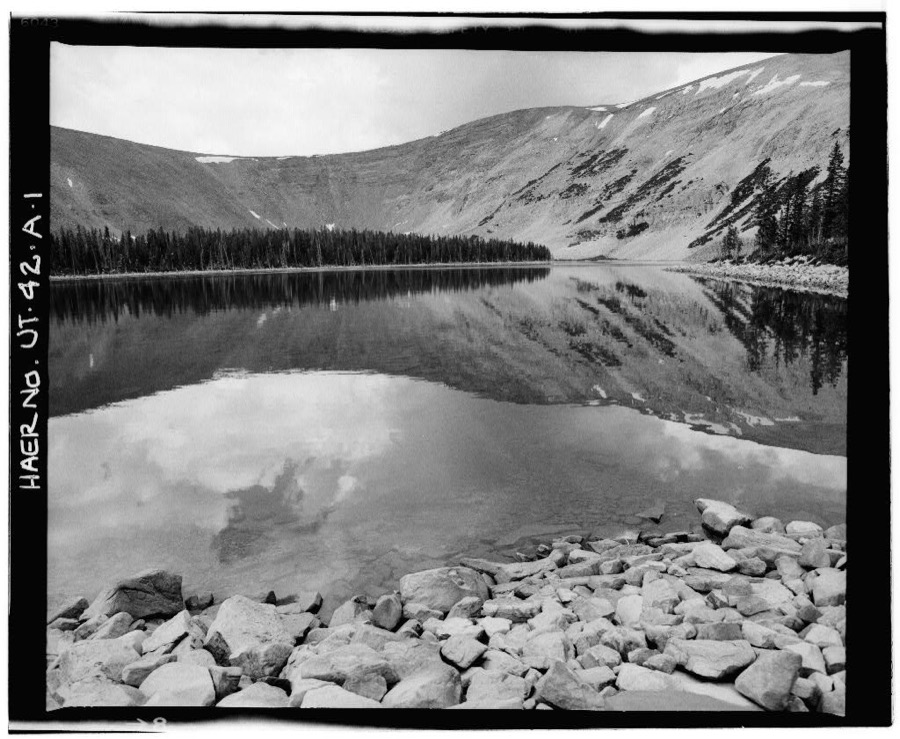
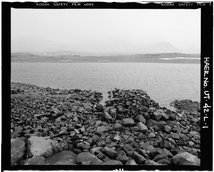
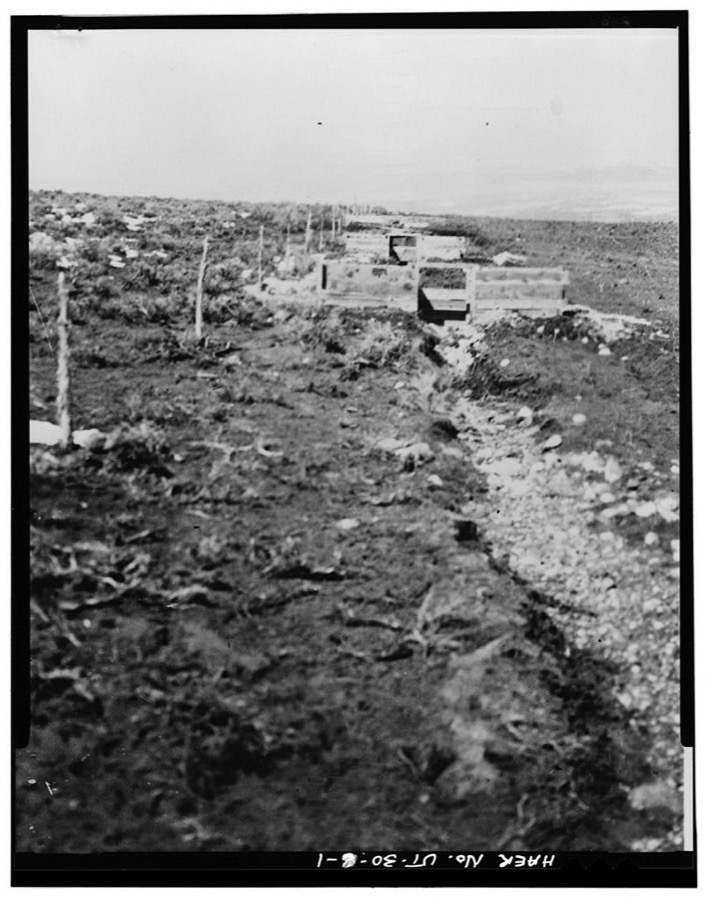
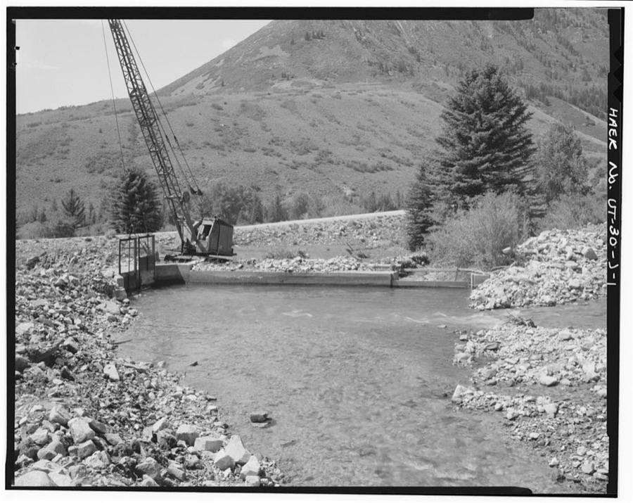
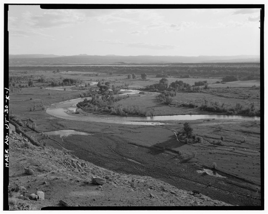
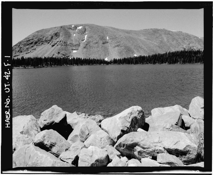
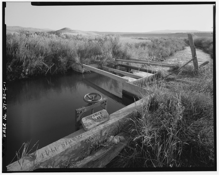
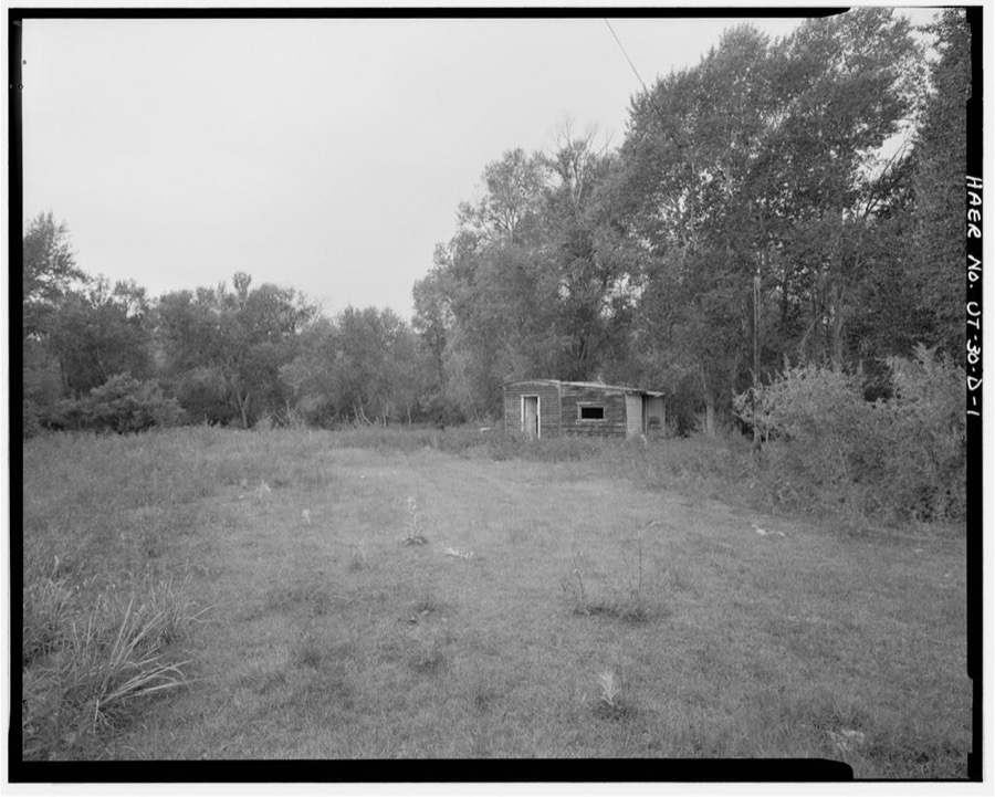
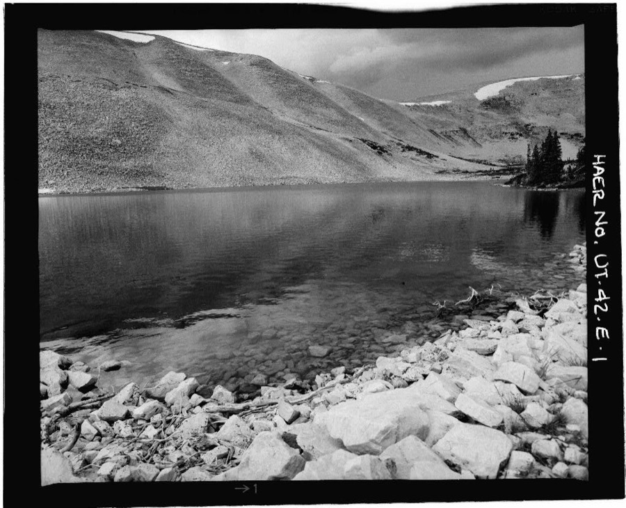
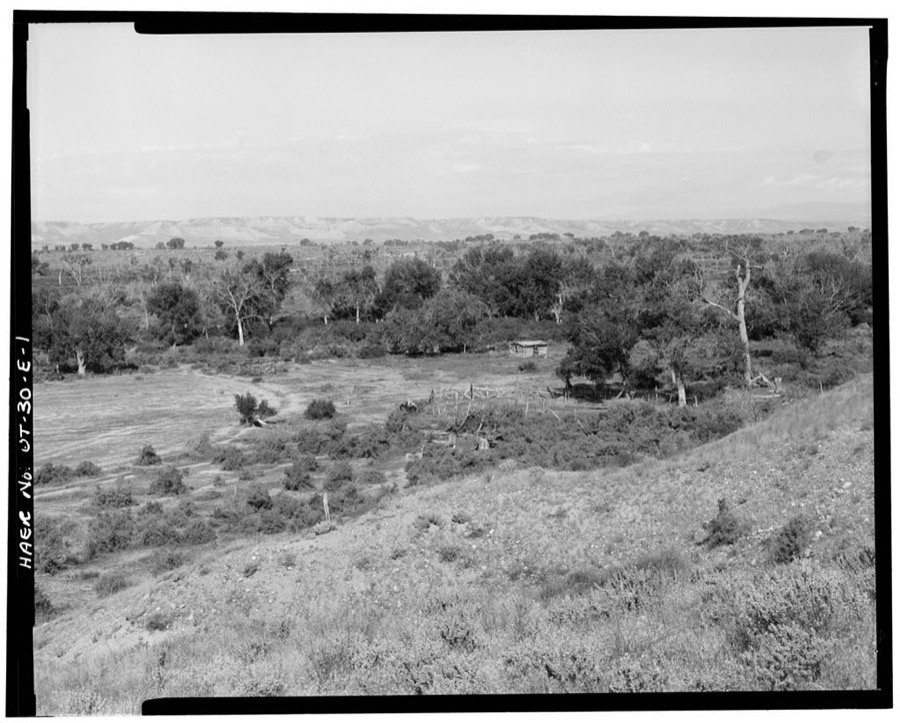
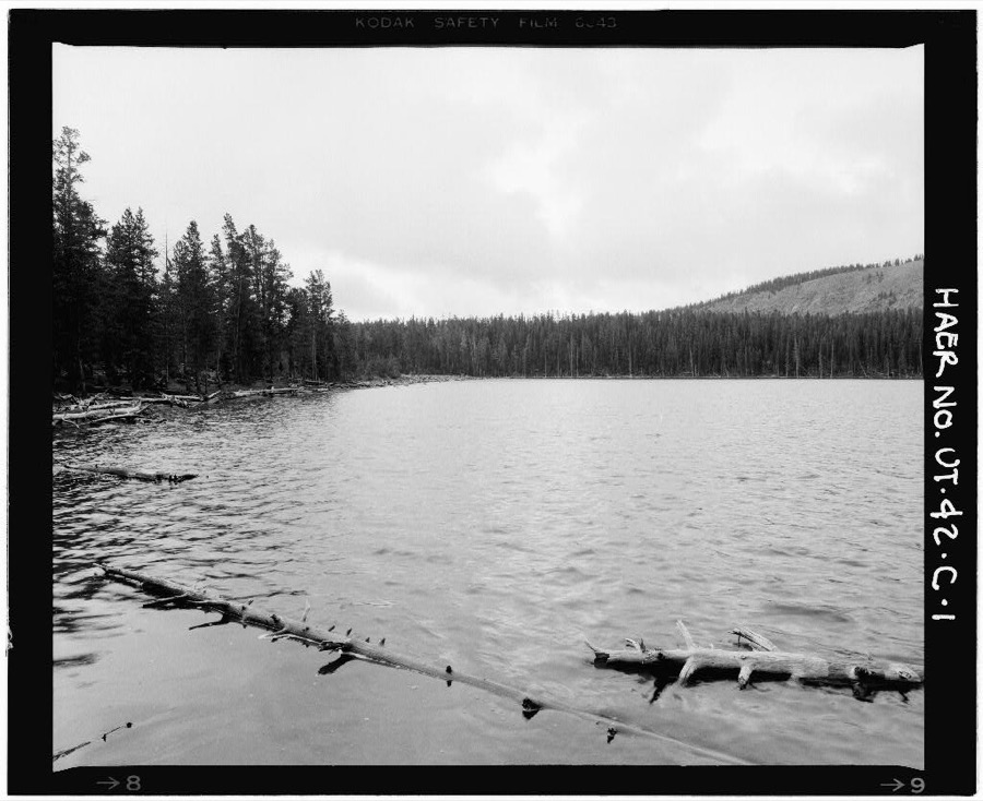
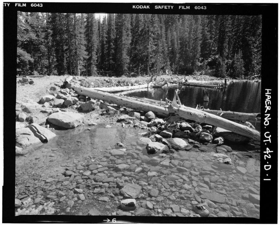
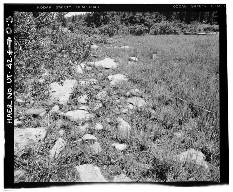
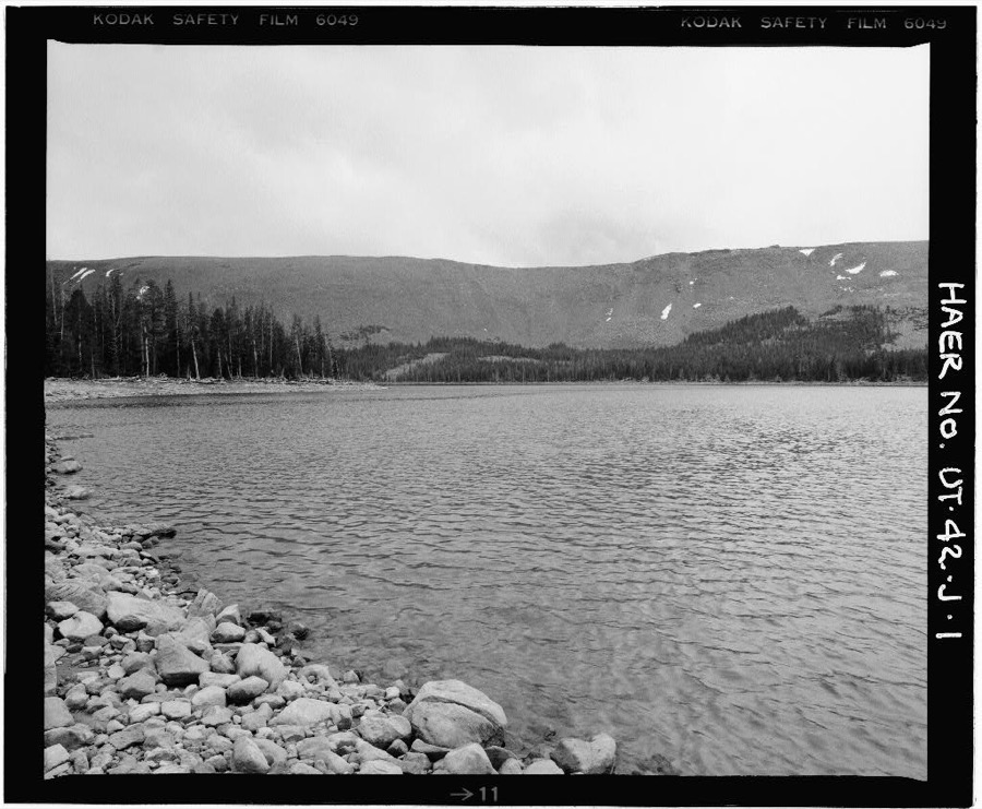
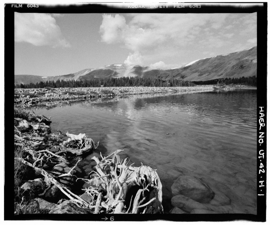
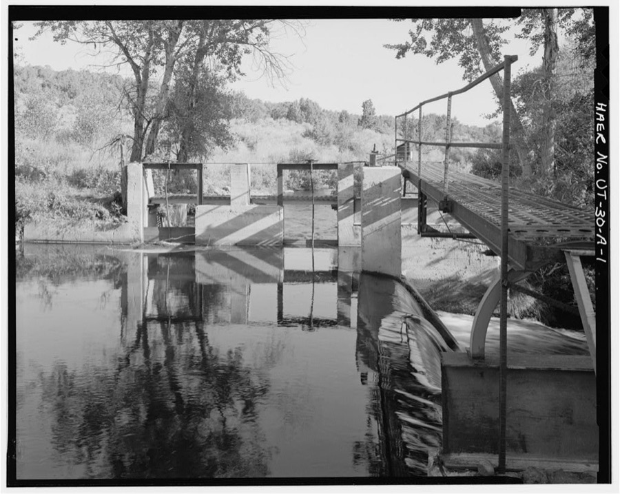
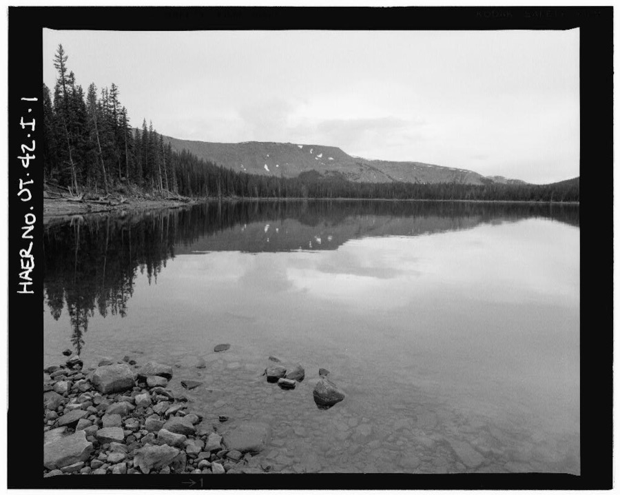
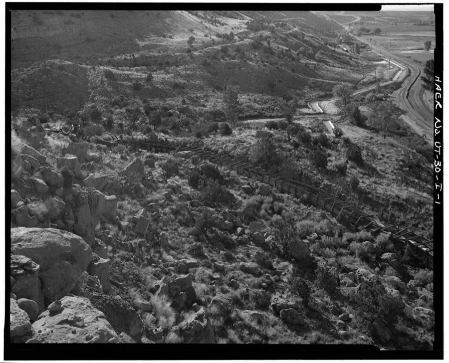
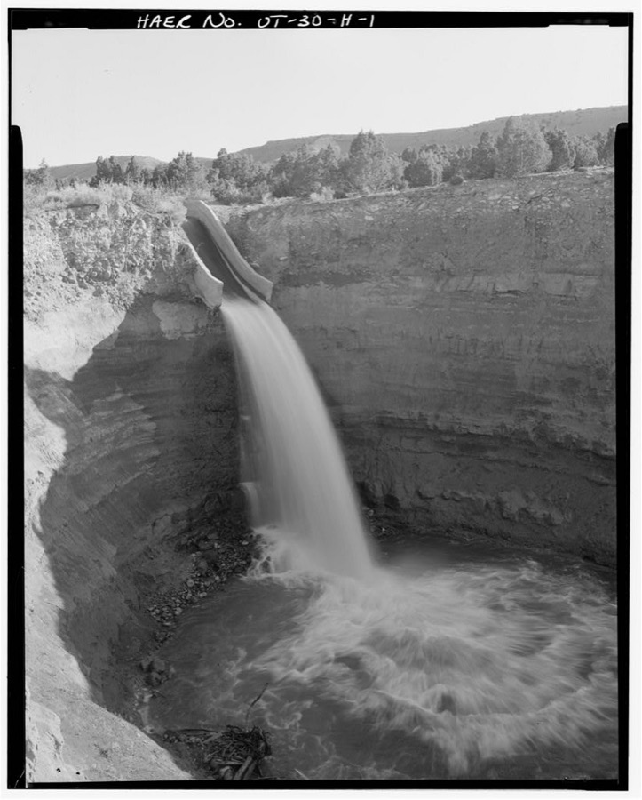
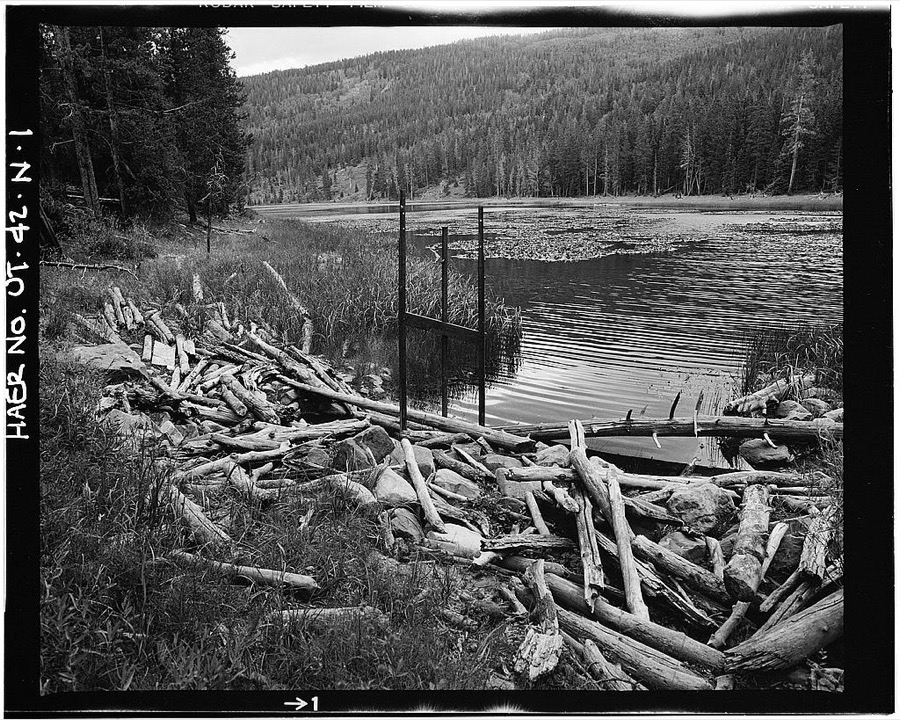
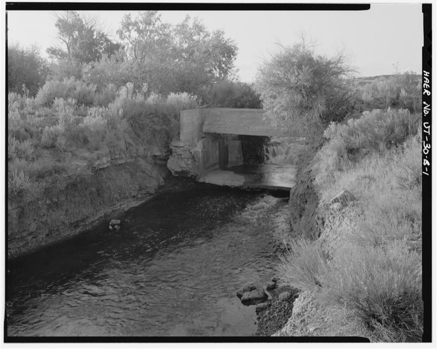
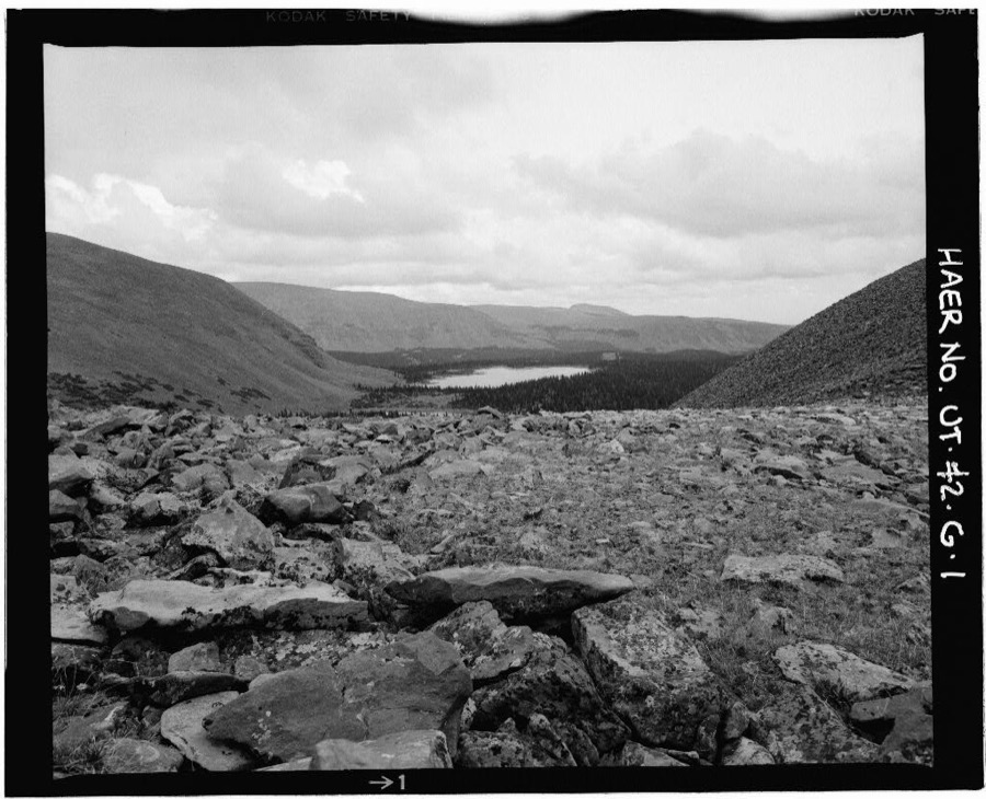
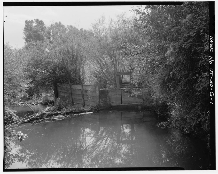
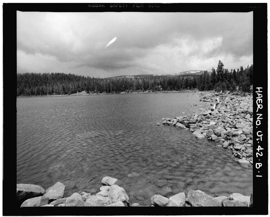
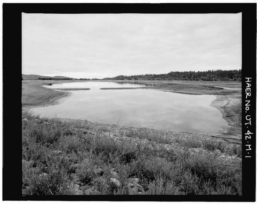
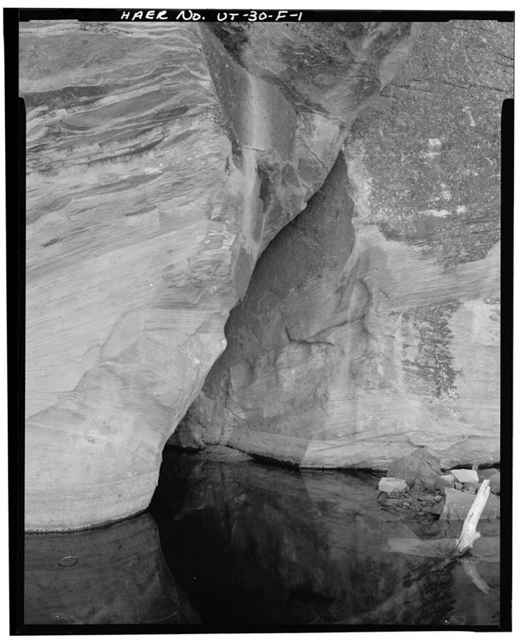
Every property in this county listed on the National Register of Historic Places, with the year it was listed and the federal nomination document.
| Photograph | Property | Type | Listed | Reference |
|---|---|---|---|---|
| Indian Canyon Ranger Station | building | 1999 | 99001294 | |
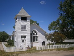 | Myton Presbyterian Church | building | 2017 | 100001638 |
| Simmons Ranch | district | 1992 | 92000463 | |
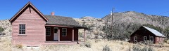 | Stockmore Ranger Station | building | 1999 | 99001293 |
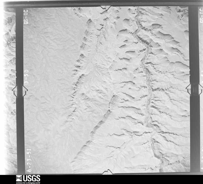
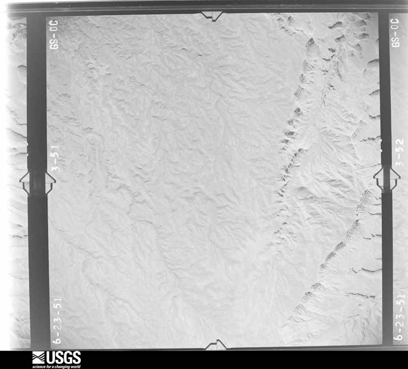
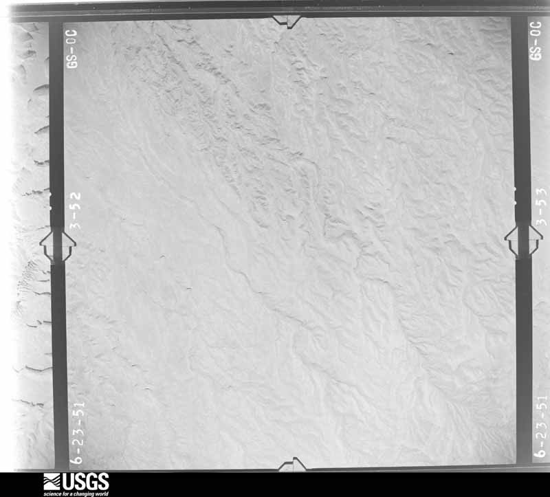
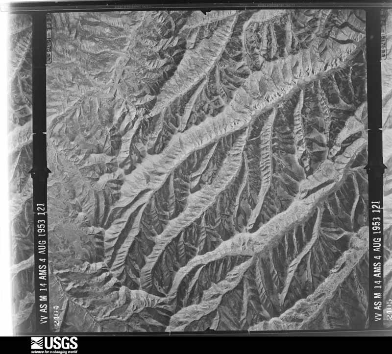
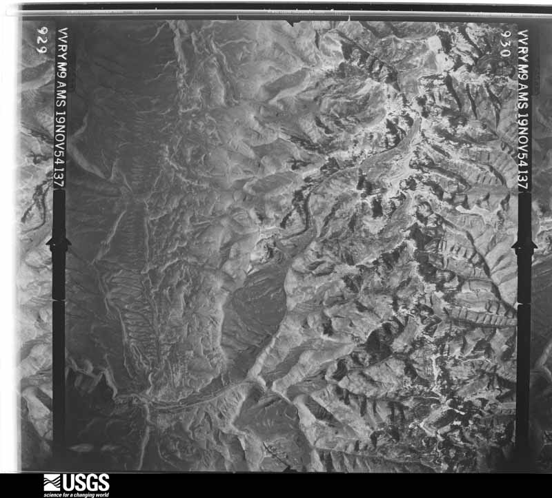
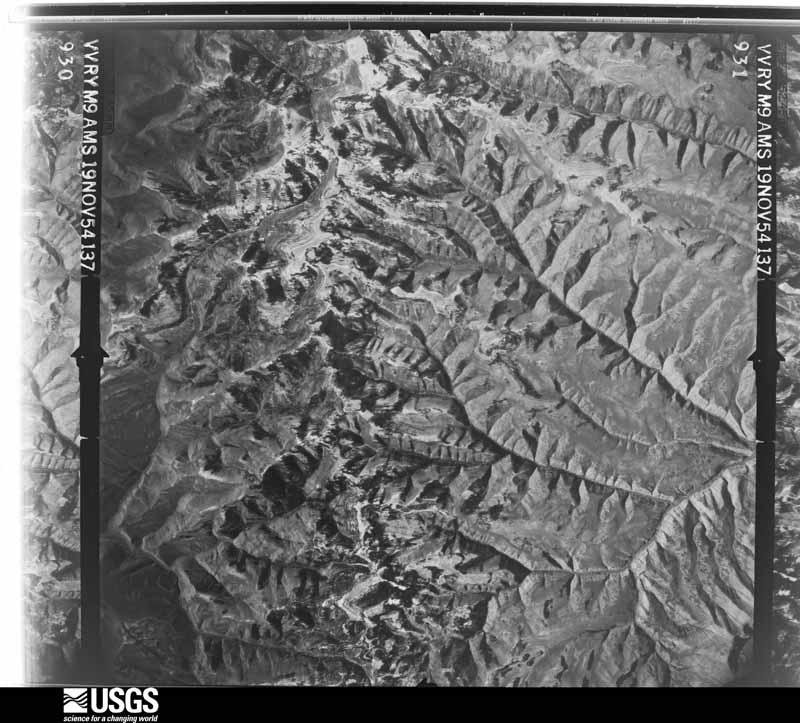
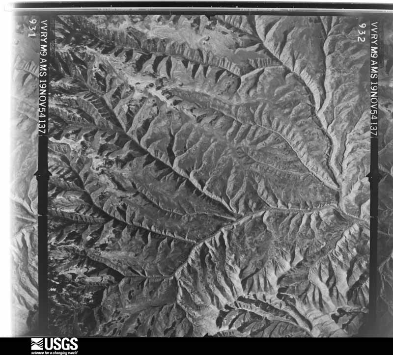
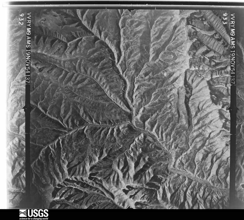
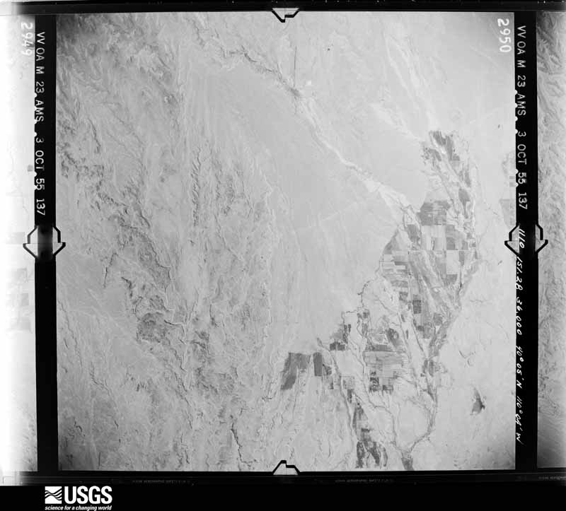
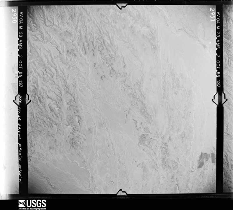
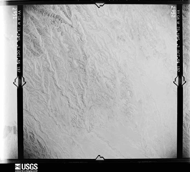
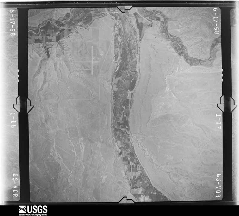
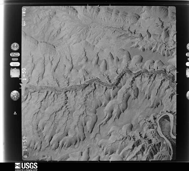
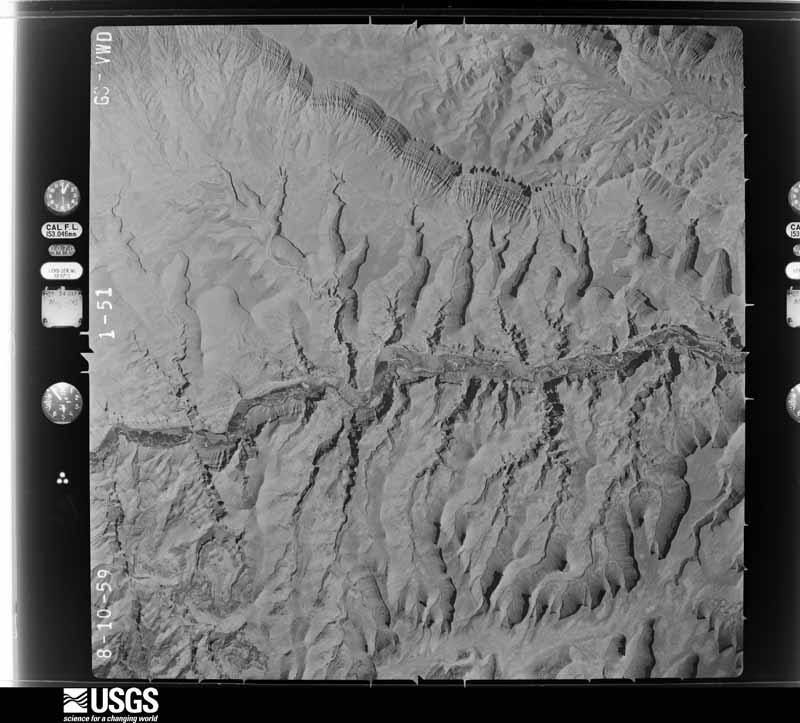
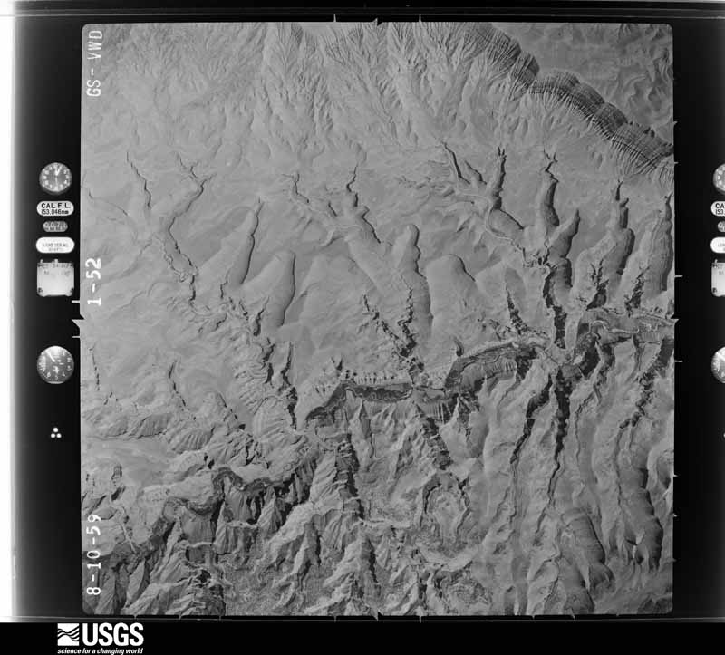
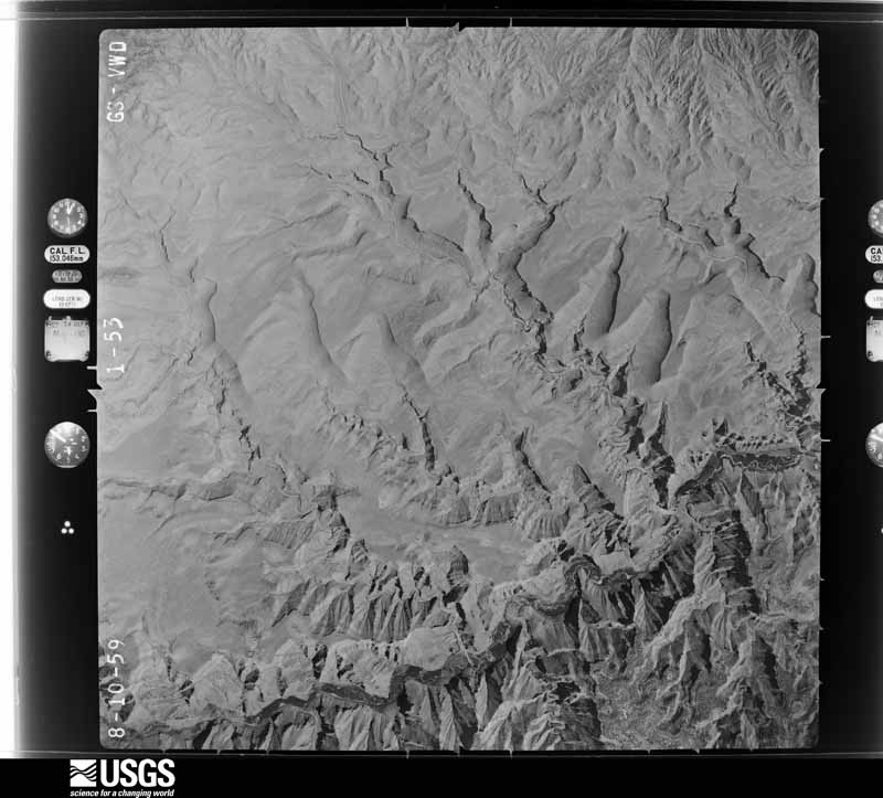
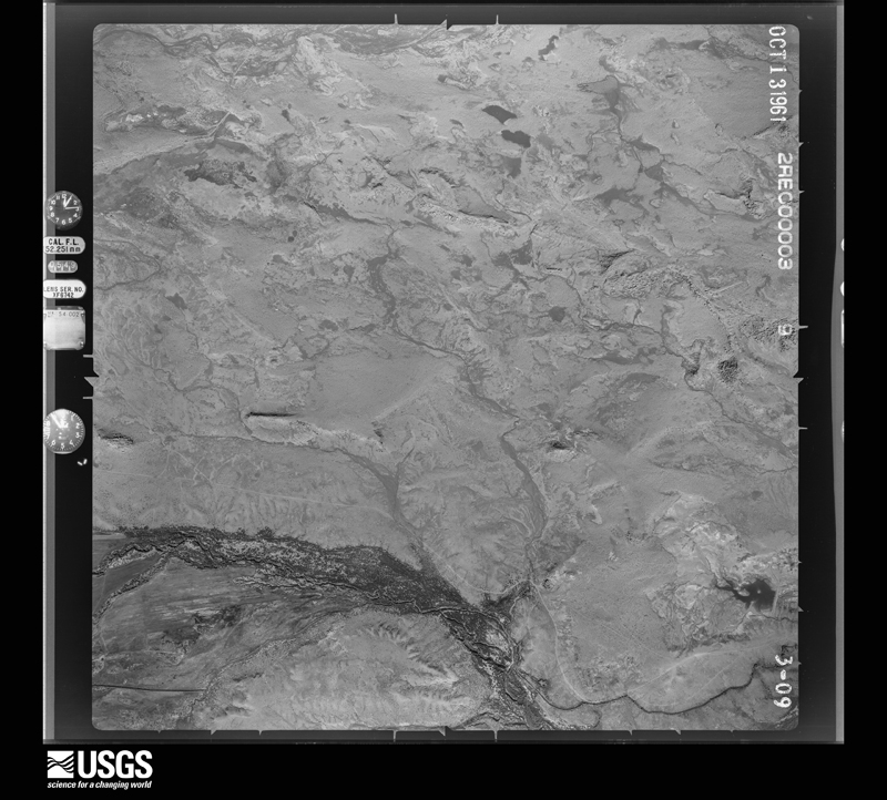
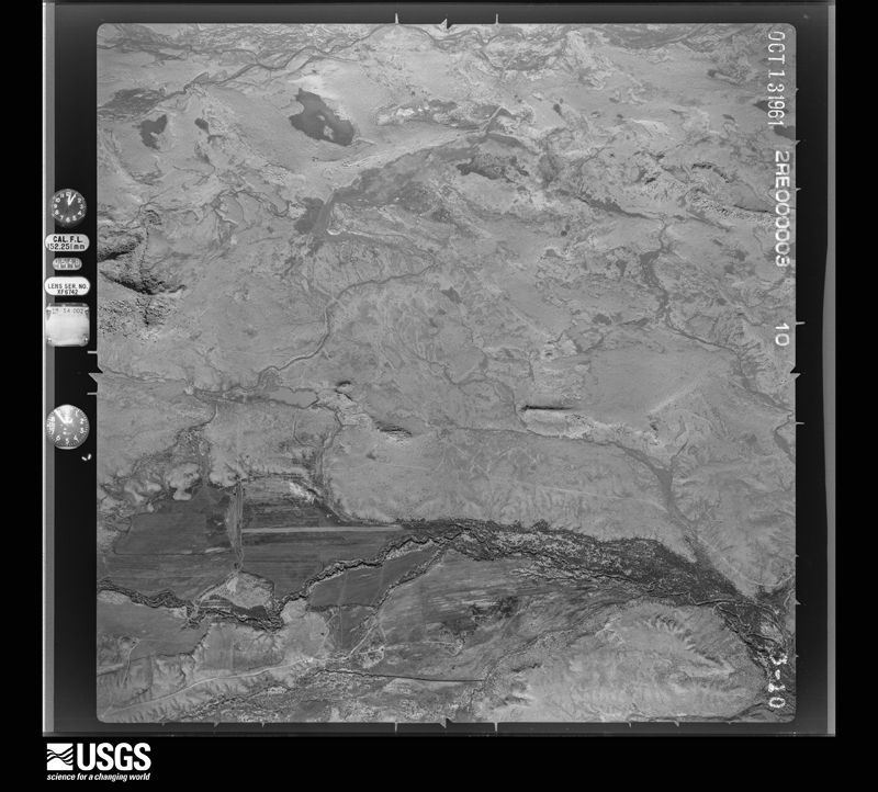
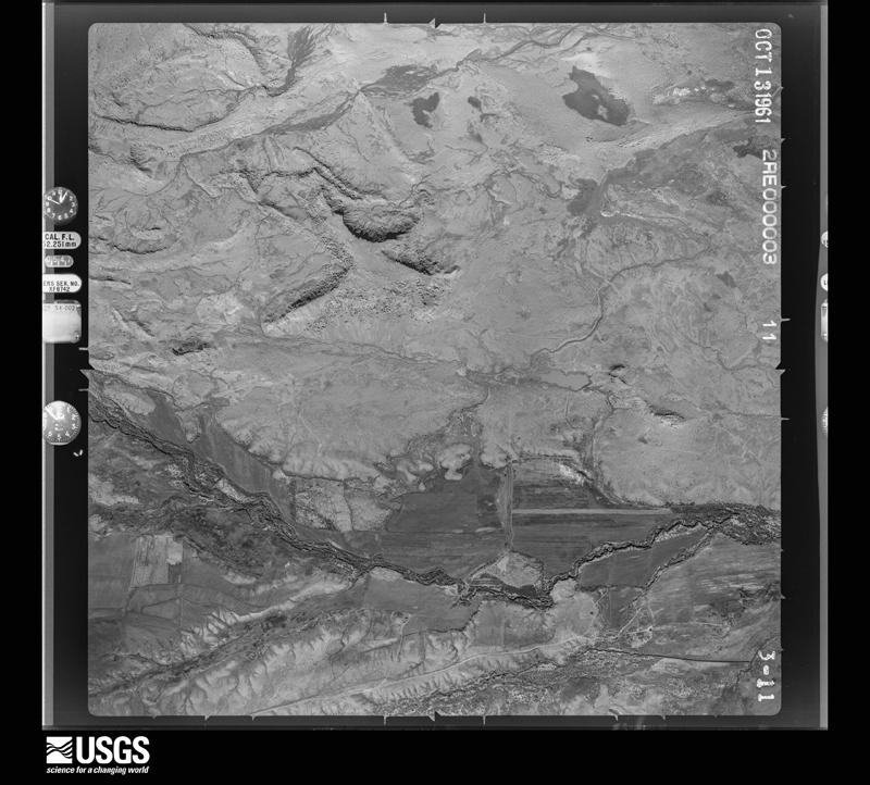
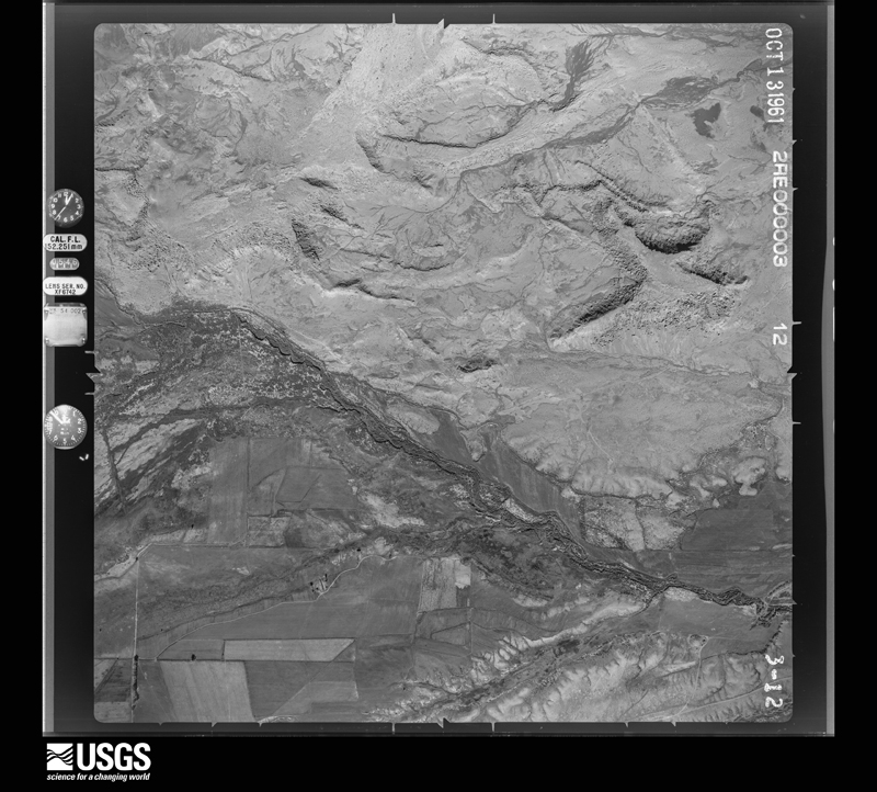
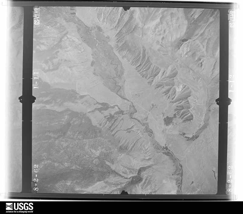
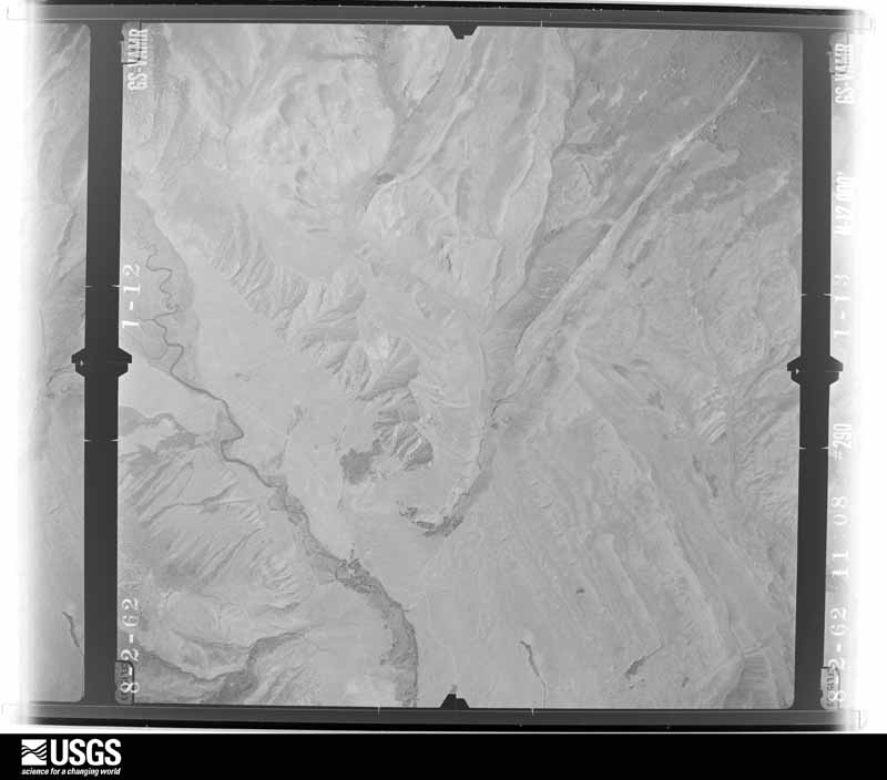
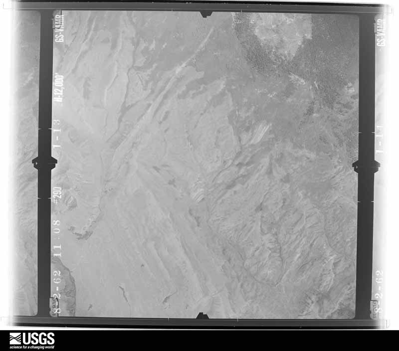
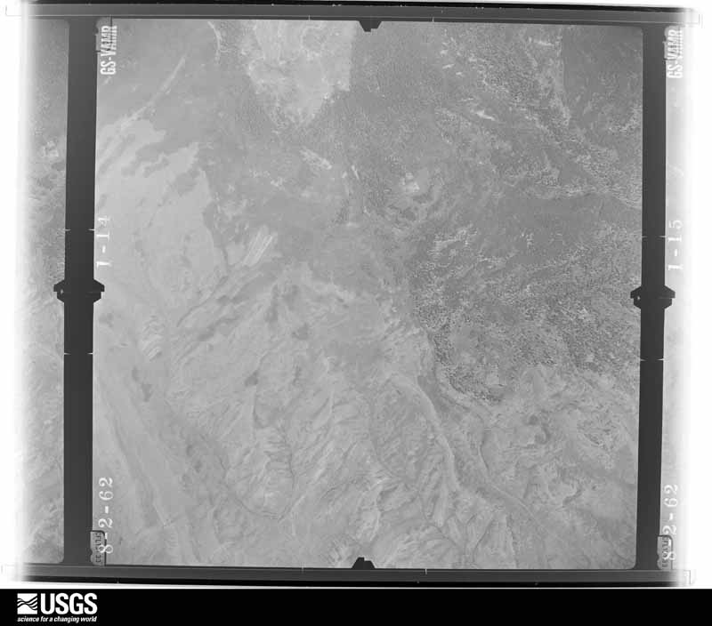
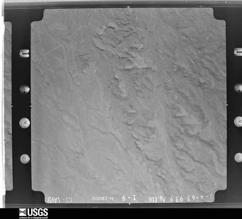
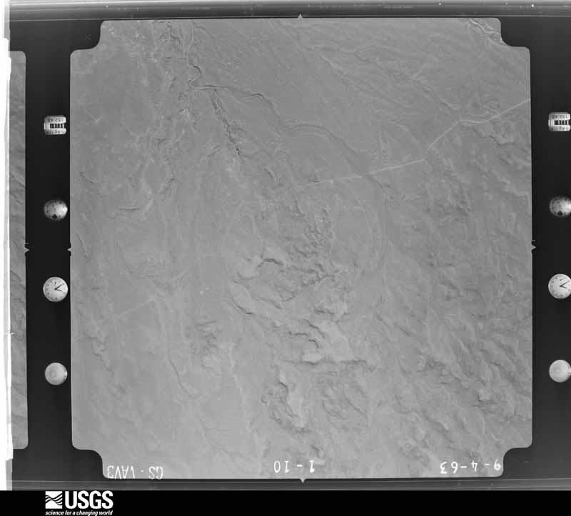
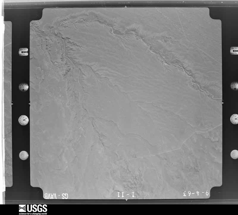
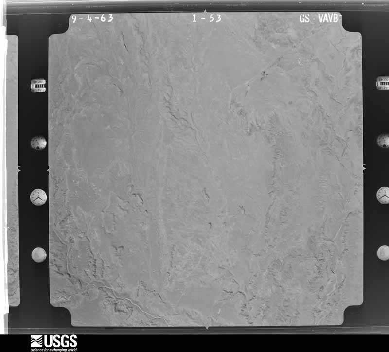
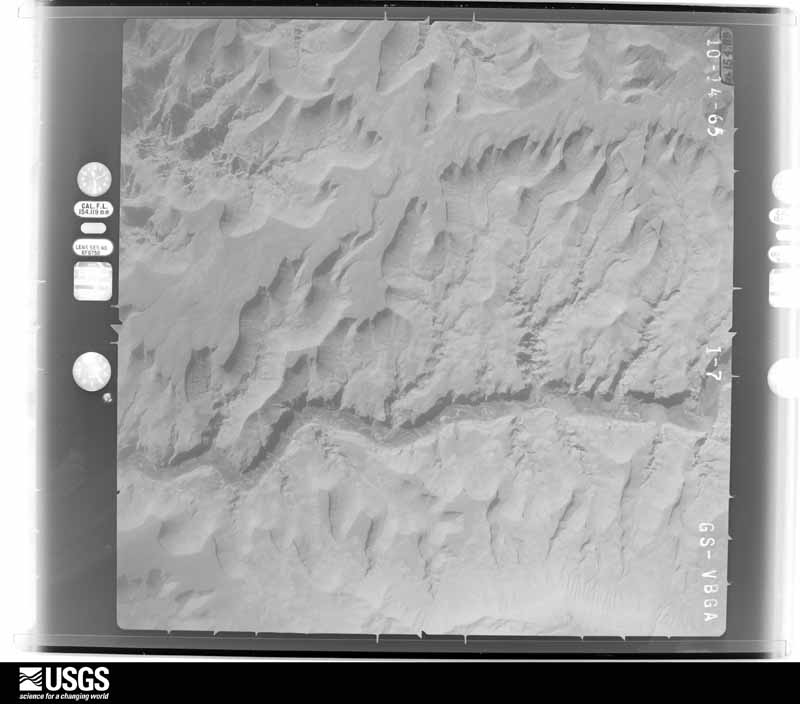
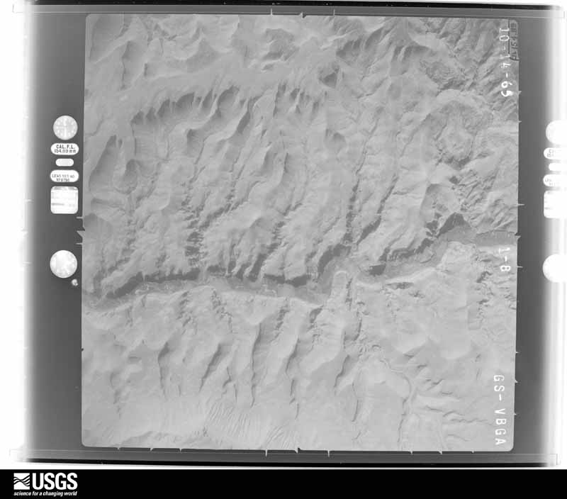
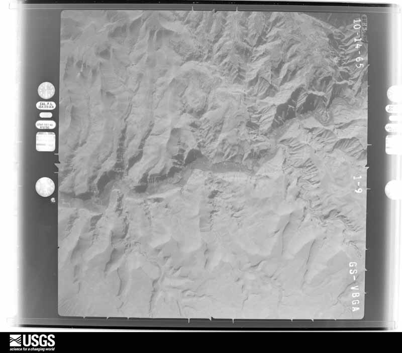
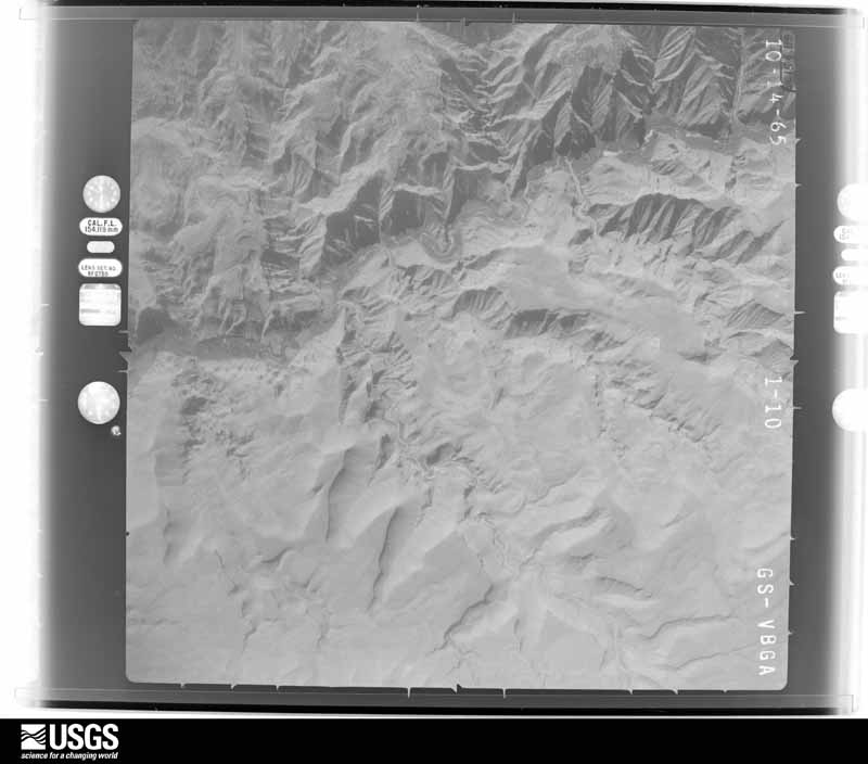
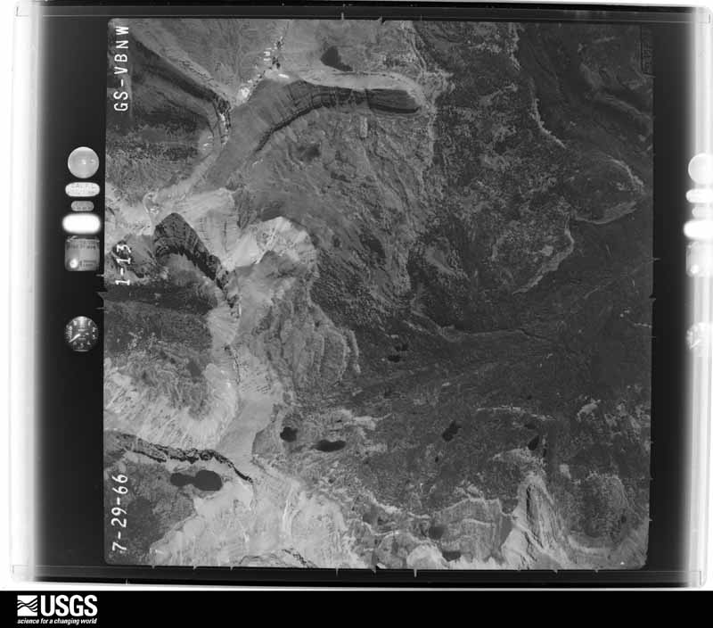
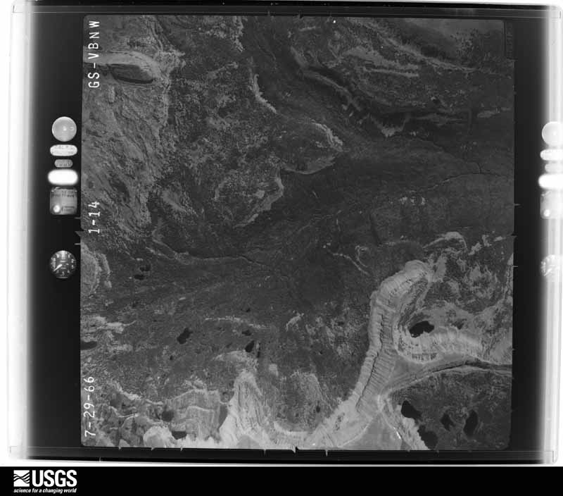
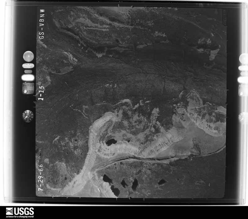
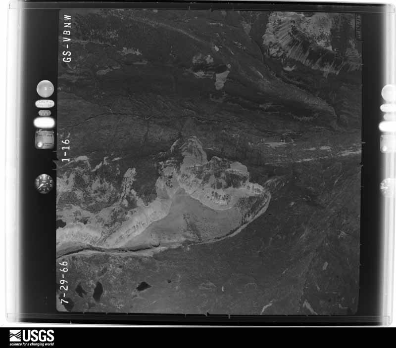
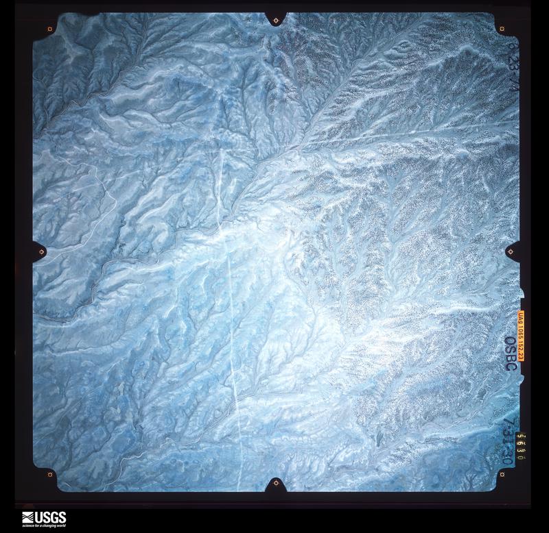
Flown by the U.S. Geological Survey between 1937 and 1989, the Aerial Photo Single Frames collection is the definitive mid-century view of the land: fields, roads and rivers as the camera saw them. The Survey holds 2,594 frames inside the rectangle that bounds this county; the 48 frames below were taken over the county itself, chosen across the decades of flights (at most four a year from that rectangle), so one flight cannot crowd out the rest. The full set is free to browse and download at EarthExplorer under the dataset Aerial Photo Single Frames.
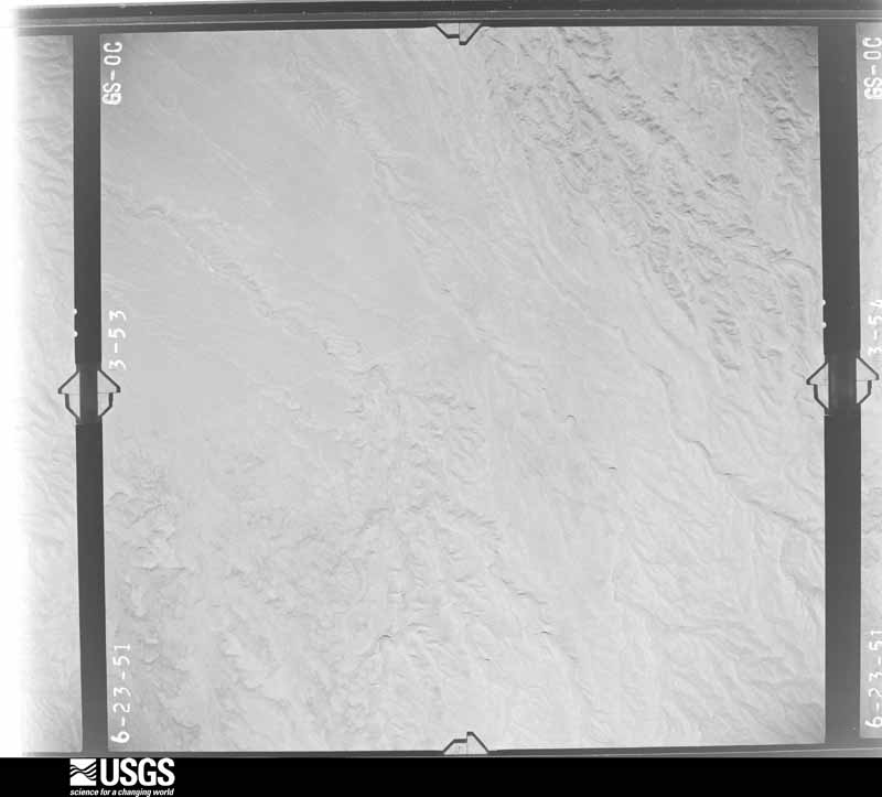
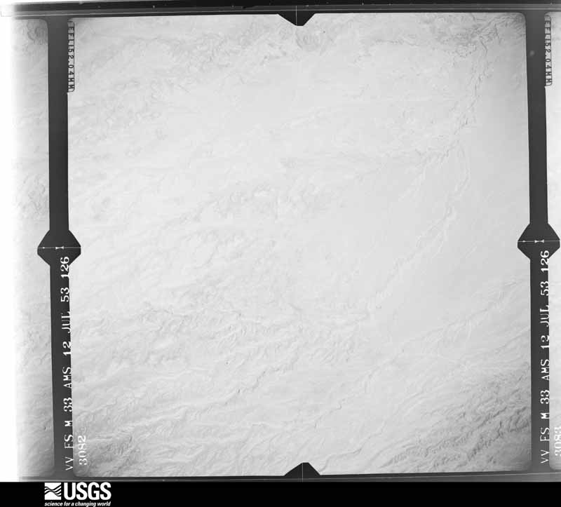
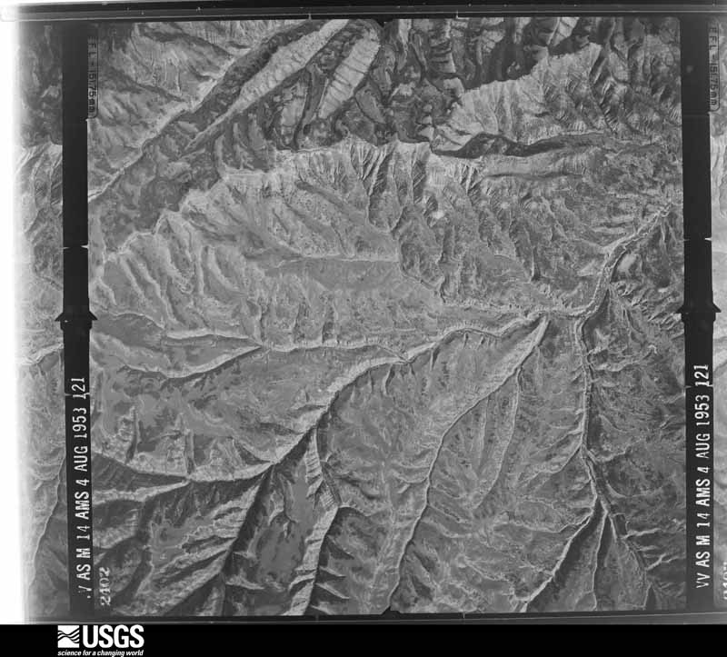
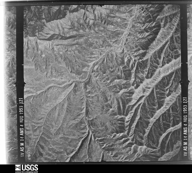
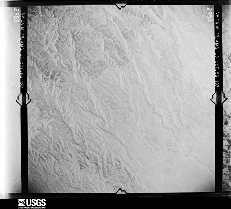
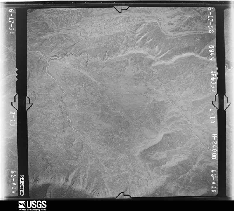
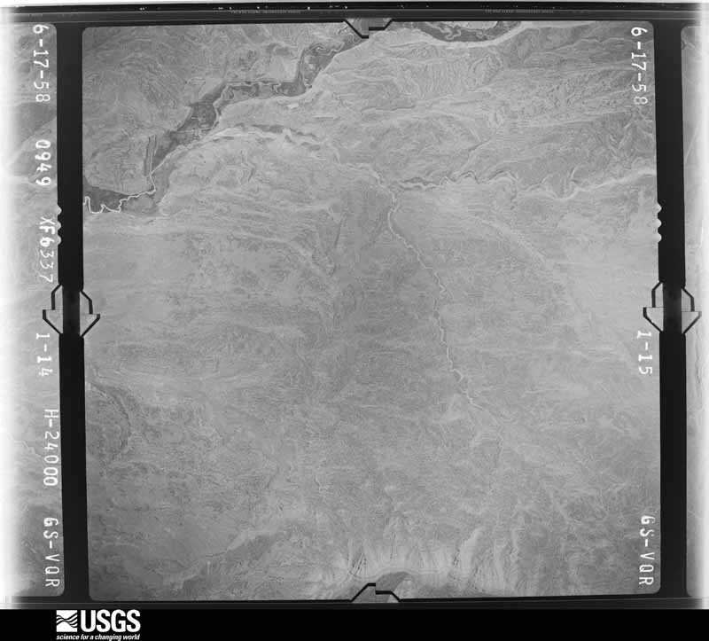
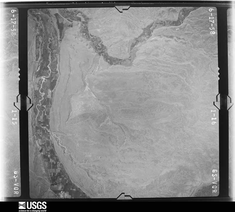



The thermometers that kept this county's weather, and the gages that measured the flow of its streams, as the federal records hold them. The extremes below are measured values from those records, not estimates.
Who lived here in 1950, one enumeration district at a time, as the Census Bureau described each district. Each row opens its official National Archives result, with Population Schedules and ED Maps available there.
Every wildfire the federal occurrence database records inside this county: 1,387 of them, burning about 240,832 acres. 808 started naturally and 10 were recorded as arson. Each settlement page carries the fires within five miles of it.
| Reported cause | Fires |
|---|---|
| Natural | 808 |
| Missing data/not specified/undetermined | 257 |
| Debris and open burning | 153 |
| Recreation and ceremony | 58 |
| Equipment and vehicle use | 54 |
| Power generation/transmission/distribution | 20 |
| Fireworks | 13 |
| Arson/incendiarism | 10 |
| Smoking | 7 |
| Misuse of fire by a minor | 6 |
| Other causes | 1 |
The five largest, by the area the report gives. None of them was recorded as arson.
| Date | Cause | Size | Reported by | Name on the report |
|---|---|---|---|---|
| 21 August 2020 | Natural | 89,765 acres | Ashley National Forest | EAST FORK |
| 1 July 2018 | Missing data/not specified/undetermined | 68,547 acres | Uintah and Ouray Agency | DOLLAR RIDGE |
| 29 June 2007 | Missing data/not specified/undetermined | 43,830 acres | Uintah and Ouray Agency | NEOLA NORTH |
| 24 June 2012 | Natural | 7,221 acres | Vernal Field Office | CHURCH CAMP |
| 28 August 2018 | Natural | 5,026 acres | Uinta-Wasatch-Cache National Forest | MURDOCK |
| 25 August 2020 | Natural | 4,469 acres | Ashley National Forest | PHINNEY LAKE |
| 27 August 2005 | Natural | 4,047 acres | Uintah and Ouray Agency | NNEOLA |
| 26 July 2000 | Natural | 3,000 acres | Uintah and Ouray Agency | STILLWATER |
Every settlement page carries the fires within five miles of it - see the settlement index below.
The NOAA Storm Events Database holds 97 reports for this county, causing 3 deaths, 4 injuries and about $1,088,350 in recorded property damage. Each settlement page carries the reports that name it.
| Kind of event | Reports |
|---|---|
| Thunderstorm Wind | 31 |
| Hail | 28 |
| Flash Flood | 15 |
| Flood | 6 |
| Tornado | 5 |
| Lightning | 4 |
| Debris Flow | 4 |
| Heavy Rain | 3 |
| Funnel Cloud | 1 |
The most serious of them, by death, then injury, then recorded damage. The accounts are quoted exactly as the forecast office filed them.
| When | Event | Place named | Harm | What the report says |
|---|---|---|---|---|
| July 2011 | Flash Flood | Tabiona | 1 killed, 2 hurt, $200,000 | In an area already experiencing river flooding, heavy rainfall caused flash flooding near Tabiona. The primary road damage was along State Route 35, where a gulch running under the road was heavily backed up for hundreds of yards, and the pressure from the backup eventually washed out the road. The resultant damage was an area 30 feet deep and 40 feet across where the road was entirely missing.||Around 11:45 pm MDT, two vehicles drove directly into the washed out area. The occupants of the first vehicle suffered one fatality and one injury. The occupant of the other vehicle was injured. |
| July 1997 | Lightning | Neola | 1 killed, 2 hurt | no account filed |
| August 2005 | Lightning | Mountain Home | 1 killed | Boy scout killed by lightning strike |
| June 2000 | Lightning | Myton | $200,000 | A lightning strike near Myton damaged a treatment unit and destroyed two 400-gallon oil tanks. |
| July 2018 | Flash Flood | Fruitland | $150,000 | Heavy rain over the Dollar Ridge Fire burn scar produced a large flash flood for areas downstream along the Strawberry River. In the Camelot Resort area, 30 adults and 13 children were trapped by the water and debris, and had to be rescued by law enforcement, while nearly a dozen people were rescued in Timber Canyon. |
| September 2016 | Flood | (U67)Roosevelt Muni | $100,000 | Flash flooding was reported across Roosevelt, with the worst flooding along State Street. Multiple homes and businesses experienced flood damage, though most of the residential flooding occurred in yards and driveways. In addition, water flowed across U.S. Route 40, and water was over a foot deep in some locations as it crossed the highway. |
| July 2013 | Lightning | Altamont | $80,000 | Lightning struck a cluster of oil storage tanks just outside Altamont, starting a fire at the facility. At least one of the tanks exploded, sending 50-foot-tall flames into the air, and creating a loud boom that woke people in Altamont. One tank was launched outside the containment berm around the well location, and two other storage tanks were engulfed in flames before firefighters reached the site. Once crews shut down the gas line that runs near the well, firefighters were able to put out the fire in less than two hours, and no injuries occurred due to the fire or explosion. |
| July 2008 | Thunderstorm Wind | Myton | $80,000 | A microburst caused damage in several towns in Duchesne County. The damage included 8 downed power poles, mostly by trees falling on the lines, a shed that blew over in Myton, a few homes and businesses that lost roofing material, 10 trees on the south side of Highway 40 that blew down and closed the highway for a couple hours, and a couple of fences that were knocked down. |
| June 2011 | Flood | Meola | $50,000 | Several rivers in the Uinta Basin reached flood stage in late June, including Rock Creek, and the Duchesne River at a few different points. These floods were largely mitigated, but some minor damage was observed to low lying bridges and a few buildings near the banks of the rivers, including a few homes in Tabiona. Note that this event continued into July. |
| July 2011 | Flood | Hanna | $50,000 | Several rivers in the Uinta Basin remained at or near flood stage in early July, including Rock Creek, and the Duchesne River at a few different points. These floods were largely mitigated, but some minor damage was observed, including temporarily reducing access to potable water in Myton. A couple of vehicles were also severely damaged in the fast-flowing flood waters. Note that this event began in June. |
| August 1993 | Tornado (F3) | Roosevelt | $50,000 | Thunderstorms that developed over the northeast portion of Utah produced a high elevation tornado, large hail, and microburst winds. The tornado occurred in the extreme eastern portion of the county in the Ashley National Forest. The tornado moved from southwest to northeast, touched down three times, and the path width was up to a half mile. The tornado damaged around 1,000 acres of trees. Most of the trees were uprooted, but some up to 18 inches in diameter were snapped. Twenty acres was damaged in the first touchdown, around 600 acres in the second, and near 400 acres in the third. The damage pattern of the trees in the area of the second touchdown confirmed the presence of a tornado. Trees on the north side of the path were thrown south, and the ones on the south side were thrown north. A troop of 125 scouts was camped near the area of the third touchdown. No one was injured, but four vehicles were damaged by the uprooted trees. This accounted for all of the damage. The camp also experienced the 1.00-inch-diameter hail at this time. The highest elevation the damage was found at was 10,800 feet. |
| July 2010 | Thunderstorm Wind | Neola | $35,000 | Thunderstorm winds caused damage in Neola, knocking over several trees and a small barn. |
| August 1997 | Flash Flood | Duchesne | $20,000 | no account filed |
| September 2013 | Flood | Fruitland | $15,000 | Heavy rain over multiple days resulting in flooding in Duchesne County, mostly impacting the town of Duchesne and State Route 191. Several streets in Duchesne were flooded, including Main Street, with the worst flooding occurring through the day of September 14. Earlier in the event, on the morning of September 12, multiple mudslides occurred on State Route 191 between Duchesne and Helper. The mud across the road trapped several motorists for a few hours before the debris could be cleaned up, but no injuries occurred due to the slides. |
| April 2002 | Thunderstorm Wind | Tabiona | $10,000 | Strong Microburst winds picked the roof off a shed and blew down a large cottonwood tree. |
| August 1999 | Flash Flood | Duchesne | $10,000 | Heavy rains in the Duchesne area caused some flash flooding. Several yards had water 1-3 feet deep in spots. Spotter reports of 1.46 inches and 1.15 inches in 55 minutes were received. |
| August 1998 | Flash Flood | Duchesne | $10,000 | no account filed |
| August 2024 | Flood | Duchesne | $5,000 | The Utah Department of Transportation reported a mud flow up to 2 feet deep across U.S. Highway 191 near milepost 288. |
| August 2023 | Debris Flow | Hanna | $5,000 | Debris from the East Fork Burn Scar crossed Rock Creek Road below Upper Stillwater Reservoir. |
| September 2023 | Debris Flow | Utah Railway Jct | $5,000 | Heavy rain resulted in multiple mudslides and debris flows across U.S. Highway 191 between Helper and Duchesne, resulting in highway closure from milepost 259 to milepost 290 until the following morning. |
| July 2009 | Thunderstorm Wind | Tabiona | $5,000 | The US-40 at Starvation sensor recorded a wind gust of 59 mph. In addition, trees were knocked down in Tabiona near State Route 35. |
| June 2002 | Thunderstorm Wind | Duchesne | $3,000 | no account filed |
| August 2021 | Flash Flood | Fruitland | $1,100 | A debris flow moved across a road in Timber Canyon. |
| August 2023 | Flash Flood | Fruitland | $1,000 | Videos and reports of flooding and mudslides in Indian Canyon near mile post 278. |
| March 2023 | Debris Flow | Fruitland | $1,000 | UDOT reported a debris flow / mudslide over US-191 near MP 262, resulting in road closure for cleanup. |
| September 2002 | Thunderstorm Wind | Mountain Home | $1,000 | Several trees were blown down in Mountain Home, when a severe thunderstorm brought wind gusts estimated at 60 mph (52 kts). |
| August 1999 | Flash Flood | Duchesne | $1,000 | Near Duchesne, 1.05 inches of rain fell in 30 minutes, producing flash flooding. Water ran over the south bound lanes of State Route 191 just southwest of Duchesne. |
| September 1984 | Tornado (F0) | not stated | $250 | no account filed |
| June 2025 | Thunderstorm Wind | Duchesne | - | A wind gust of 61 mph was recorded at the US-40 at Starvation mesonet site. |
| June 2024 | Thunderstorm Wind | Duchesne | - | A wind gust of 63 mph was recorded at the US-40 @ Starvation mesonet site. |
| June 2024 | Hail | Bridgeland | - | Social media photos showed quarter-sized hail in Bridgeland. Time is estimated from RADAR. |
| June 2024 | Flood | Bridgeland | - | There were reports of ponding of water on U.S. Highway 40 between Duchesne and Roosevelt. |
| June 2024 | Hail | Myton | - | Social media posts indicated quarter-sized hail in Myton. |
| June 2024 | Thunderstorm Wind | Ioka | - | A wind gust of 61 mph was recorded by the Roosevelt Municipal Airport AWOS. |
| May 2023 | Hail | Tabiona | - | A public video showed multiple half-dollar-sized hailstones near Tabiona. Time estimated by radar. |
| May 2023 | Hail | Tabiona | - | Public photos indicated approximately nickel-sized hail near Tabiona. |
| September 2023 | Thunderstorm Wind | Duchesne | - | The US-40 @ Starvation mesonet station recorded a wind gust of 60 mph as a result of outflow winds associated with a nearby cluster of showers and thunderstorms moving through the area. |
| July 2023 | Thunderstorm Wind | Fruitland | - | The US-40 at MP 66 Fruitland mesonet station recorded an initial peak gust of 64 mph at 2:20 pm MST, and a subsequent strong gust of 58 mph at 2:30 pm MST. These gusts were a result of outflow winds associated with a cluster of showers and thunderstorms moving through the area. |
| July 2022 | Thunderstorm Wind | Myton | - | A wind gust of 58 mph was measured by the PleasantValley - Agrimet PLVU sensor as a shower moved over the site during the late afternoon. |
| June 2022 | Thunderstorm Wind | Fruitland | - | The Indian Canyon Summit mesonet station recorded a peak wind gust of 62 mph. |
| June 2022 | Tornado (EF2) | Fruitland | - | A tornado developed near the summit of US-191 and Argyle Canyon |Road in remote southwestern Duchesne County at about 9200 feet. |Sporadic damage is noted in this area as it moved north over a |ridge line and into a valley adjacent to US-191 along Indian |Canyon.||The tornado then descended down the length of the valley from |about 9200 feet to a creek adjacent to US-191 at an elevation of |about 8500 feet. Over this period, both the strength and and width|of the tornado increased substantially with a continuous damage |path through a mixed aspen and conifer forest. The maximum damage |was found in this area and was significant. Almost all trees over |a large hillside facing the road were violently blown down, |snapped, or topped into a clearly convergent axis. Several tree |tops were desposited along the creek and road with no clear |indicatation as to where they orginated.||The tornado then crossed US-191 and ascended the hillside from |about 8500 feet to another ridge on the northwest side of the road|to an elevation of about 9100 feet. Considerable damage was noted|immediately north of US-191 where numerous trees were snapped or |uprooted, although not to the severe extent noted on the south |side of the road. Damage decreased considerably up the hillside to|the top of the 9100 foot ridge line with more sporadic toppled |trees.||A few toppled trees were noted into the next basin over the ridge|on the north side of the road, marking the last discernible |damage from the tornado, and the end of the 2 mile damage path. |
| June 2022 | Thunderstorm Wind | Altonah | - | Peak wind gust of 68 mph at Yellowstone Drainage RAWS. |
| August 2022 | Debris Flow | Fruitland | - | A large debris flow originating off of the Dollar Ridge Fire burn scar passed through the Strawberry Pinnacles area. |
| July 2021 | Flash Flood | Duchesne | - | Law enforcement officials reported a debris flow moved through the Pinnacles and Promised Land Resort areas. |
| July 2021 | Thunderstorm Wind | Bridgeland | - | The Five Mile automated weather station recorded a peak wind gust of 67 mph. The gust appeared to be associated with a microburst from a decaying thunderstorm. |
| September 2021 | Thunderstorm Wind | Duchesne | - | An isolated severe wind gust of 58 mph was recorded at Duchesne Municipal Airport. |
| April 2020 | Thunderstorm Wind | Fruitland | - | The US-40 at MP 66 Fruitland sensor recorded a peak wind gust of 66 mph. |
| April 2020 | Thunderstorm Wind | Duchesne | - | The US-40 @ Starvation sensor recorded a peak wind gust of 59 mph. |
| April 2020 | Thunderstorm Wind | Ioka | - | A peak wind gust of 58 mph was recorded at Roosevelt Municipal Airport. |
| June 2020 | Thunderstorm Wind | Fruitland | - | The Fruitland 3 ESE station recorded a peak wind gust of 69 mph. |
| July 2019 | Flash Flood | Fruitland | - | Heavy rain over the Dollar Ridge Fire burn scar produced a debris flow that impacted the Promised Land Resort. Many area roadways were blocked, and water rescues of 12 people occurred. |
| September 2019 | Thunderstorm Wind | Duchesne | - | The US-40 @ Starvation sensor recorded a peak wind gust of 65 mph. |
| April 2018 | Thunderstorm Wind | Duchesne | - | A peak wind gust of 57 mph was reported at US-40 at Starvation Reservoir. |
| August 2018 | Hail | Altamont | - | Quarter-sized hail was reported in Altamont. |
| June 2017 | Thunderstorm Wind | Ioka | - | A maximum wind gust of 63 mph was recorded at the Roosevelt Municipal Airport AWOS. |
| July 2017 | Thunderstorm Wind | Duchesne | - | The US-40 at Starvation sensor recorded a peak wind gust of 59 mph. |
| May 2016 | Hail | Meola | - | Hail approximately 1 inch in diameter was reported near Neola. |
| August 2016 | Hail | Duchesne Arpt | - | Golf ball-sized hail was reported north of Duchesne. |
| August 2016 | Hail | Fruitland | - | Hail with an estimated diameter of one inch was reported near Fruitland. |
| May 2015 | Hail | Myton | - | Half dollar sized hail was observed and photographed in the Pariette Wetlands south of Myton, Utah. |
The Survey's mineral resources record lists 163 workings inside this county. 14 still produce and 149 are closed or unrecorded. Each settlement page carries the workings within five miles of it.
| Commodity | Workings |
|---|---|
| Sand and Gravel, Construction | 122 |
| Uranium | 14 |
| Phosphorus-Phosphates | 9 |
| Iron | 8 |
| Manganese | 3 |
| Gold, Silver | 2 |
| Copper | 2 |
| Uranium, Rock Asphalt | 1 |
| Oil Sands | 1 |
| Zinc, Gold, Iron | 1 |
| Potassium | 1 |
| Zinc, Iron, Gold | 1 |
| Uranium, Copper | 1 |
| Silver, Gold | 1 |
The least common of them first, because a county's hundredth gravel pit says nothing its first ten did not.
| Where | Site | Commodity | Status | Recorded |
|---|---|---|---|---|
| Lone Peak | Uranium, Copper | Past Producer | Underground | |
| Pariette Mine | Uranium, Rock Asphalt | Occurrence | Gilsonite | |
| Tabiona Tar Sand Deposit | Oil Sands | Occurrence | ||
| Uinta Mountains, Crawford Mountains, Wasatch Range | Phosphorus-Phosphates, Fluorine-Fluorite, Vanadium, Uranium | Past Producer | 1889, 1907 | |
| Unknown | Silver, Gold | Occurrence | ||
| Wolf Creek Phosphate Deposit | Potassium | Occurrence | ||
| Yellow-Bird Mine | Zinc, Gold, Iron | Occurrence | Replacement | |
| Yellow-Bird Mine | Zinc, Iron, Gold | Past Producer | ||
| Keg Uranium Claim | Uranium, Copper | Occurrence | Malachite | |
| Lone Peak Uranium Claim | Uranium, Copper | Occurrence | Carnotite, Malachite | |
| Paint Mine | Iron, Gold, Silver | Past Producer | Replacement | |
| Unknown | Gold, Silver | Occurrence | Gold, Silver | |
| Dry Gulch Prospect | Iron, Manganese | Occurrence | Goethite, Hematite, Limonite | |
| Fish Creek Manganese Deposit | Manganese | Occurrence | Replacement | |
| Fish Creek Manganese Deposit | Manganese | Occurrence | ||
| Farm Creek Prospects | Iron | Prospect | Replacement | |
| Farm Creek Prospects | Iron | Occurrence | ||
| Paint Mine | Iron | Past Producer | 1947 | |
| Rock Creek Prospect | Iron | Occurrence | Replacement | |
| Tungsten Pass Prospect | Iron | Producer | ||
| Tungston Pass Prospect | Iron | Occurrence | 1954 | |
| Hanna Phosphate | Phosphorus-Phosphates | Occurrence | Sedimentary | |
| Phosphate Deposit #1 | Phosphorus-Phosphates | Occurrence | ||
| Phosphate Deposit #2 | Phosphorus-Phosphates | Occurrence | ||
| Phosphate Deposit #3 | Phosphorus-Phosphates | Prospect | MARINE SEDIMENTARY | |
| Phosphate Deposit #4 | Phosphorus-Phosphates | Prospect | MARINE SEDIMENTARY | |
| Phosphate Deposits #5 | Phosphorus-Phosphates | Prospect | MARINE SEDIMENTARY | |
| Phosphate Deposits #6 | Phosphorus-Phosphates | Occurrence | ||
| Western Uinta Range Group | Phosphorus-Phosphates, Uranium | Prospect | 1914 | |
| Wolf Creek Phosphate Deposit | Phosphorus-Phosphates | Occurrence | Shale | |
| Blue Sky #1 | Uranium | Producer | ||
| Keg | Uranium | Past Producer | ||
| Keg Claim | Uranium | Producer | ||
| Lone Peak Claim | Uranium | Producer | ||
| Lone Peaks | Uranium | Occurrence | ||
| Myton #4 | Uranium | Occurrence | ||
| Oh Henry #1 | Uranium | Producer | ||
| Rainbow Ridge | Uranium | Past Producer | ||
| Rainbow Ridge #2 | Uranium | Producer | ||
| Unknown | Uranium | Occurrence | ||
| Unknown | Uranium | Occurrence | ||
| Antelope Creek Gravel Pits | Sand and Gravel, Construction | Past Producer | Unconsolidated Sediments | |
| Antelope Creek Gravel Pits | Sand and Gravel, Construction | Past Producer | ||
| Gray Mountain Gravel Pits | Sand and Gravel, Construction | Past Producer | Unconsolidated Sediments | |
| Gray Mountain Gravel Pits | Sand and Gravel, Construction | Past Producer | ||
| Pole Mtn. Gravel Pit | Sand and Gravel, Construction | Past Producer | Unconsolidated Sediments | |
| Pole Mtn.Gravel Pit | Sand and Gravel, Construction | Past Producer | ||
| South Myton Bench Gravel Pits | Sand and Gravel, Construction | Past Producer | Unconsolidated Sediments | |
| South Myton Bench Gravel Pits | Sand and Gravel, Construction | Past Producer | ||
| Unknown | Sand and Gravel, Construction | Past Producer | Unconsolidated Sediments | |
| Unknown | Sand and Gravel, Construction | Past Producer | Unconsolidated Sediments | |
| Unknown | Sand and Gravel, Construction | Past Producer | Unconsolidated Sediments | |
| Unknown | Sand and Gravel, Construction | Past Producer | Unconsolidated Sediments | |
| Unknown | Sand and Gravel, Construction | Past Producer | Unconsolidated Sediments | |
| Unknown | Sand and Gravel, Construction | Past Producer | Unconsolidated Sediments | |
| Unknown | Sand and Gravel, Construction | Past Producer | Unconsolidated Sediments | |
| Unknown | Sand and Gravel, Construction | Past Producer | Unconsolidated Sediments | |
| Unknown | Sand and Gravel, Construction | Past Producer | Unconsolidated Sediments | |
| Unknown | Sand and Gravel, Construction | Past Producer | Unconsolidated Sediments | |
| Unknown | Sand and Gravel, Construction | Past Producer | Unconsolidated Sediments | |
| Unknown | Sand and Gravel, Construction | Past Producer | Unconsolidated Sediments | |
| Unknown | Sand and Gravel, Construction | Past Producer | Sedimentary | |
| Unknown | Sand and Gravel, Construction | Past Producer | Unconsolidated Sediments | |
| Unknown | Sand and Gravel, Construction | Past Producer | Unconsolidated Sediments | |
| Unknown | Sand and Gravel, Construction | Producer | Unconsolidated Sediments | |
| Unknown | Sand and Gravel, Construction | Past Producer | Unconsolidated Sediments | |
| Unknown | Sand and Gravel, Construction | Past Producer | Unconsolidated Sediments | |
| Unknown | Sand and Gravel, Construction | Past Producer | Unconsolidated Sediments | |
| Unknown | Sand and Gravel, Construction | Past Producer | Unconsolidated Sediments | |
| Unknown | Sand and Gravel, Construction | Past Producer | Sand and Gravel | |
| Unknown | Sand and Gravel, Construction | Past Producer | Unconsolidated Sediments | |
| Unknown | Sand and Gravel, Construction | Past Producer | Unconsolidated Sediments | |
| Unknown | Sand and Gravel, Construction | Past Producer | Unconsolidated Sediments | |
| Unknown | Sand and Gravel, Construction | Past Producer | Unconsolidated Sediments | |
| Unknown | Sand and Gravel, Construction | Past Producer | Unconsolidated Sediments | |
| Unknown | Sand and Gravel, Construction | Past Producer | Unconsolidated Sediments | |
| Unknown | Sand and Gravel, Construction | Past Producer | Unconsolidated Sediments | |
| Unknown | Sand and Gravel, Construction | Past Producer | Unconsolidated Sediments | |
| Unknown | Sand and Gravel, Construction | Past Producer | Unconsolidated Sediments | |
| Unknown | Sand and Gravel, Construction | Past Producer | Unconsolidated Sediments | |
| Unknown | Sand and Gravel, Construction | Past Producer | Unconsolidated Sediments | |
| Unknown | Sand and Gravel, Construction | Past Producer | Unconsolidated Sediments | |
| Unknown | Sand and Gravel, Construction | Past Producer | Unconsolidated Sediments | |
| Unknown | Sand and Gravel, Construction | Past Producer | Unconsolidated Sediments | |
| Unknown | Sand and Gravel, Construction | Past Producer | Unconsolidated Sediments | |
| Unknown | Sand and Gravel, Construction | Past Producer | Unconsolidated Sediments | |
| Unknown | Sand and Gravel, Construction | Past Producer | Unconsolidated Sediments | |
| Unknown | Sand and Gravel, Construction | Past Producer | ||
| Unknown | Sand and Gravel, Construction | Past Producer | ||
| Unknown | Sand and Gravel, Construction | Past Producer | ||
| Unknown | Sand and Gravel, Construction | Past Producer | ||
| Unknown | Sand and Gravel, Construction | Past Producer | ||
| Unknown | Sand and Gravel, Construction | Producer | ||
| Unknown | Sand and Gravel, Construction | Past Producer | ||
| Unknown | Sand and Gravel, Construction | Past Producer | ||
| Unknown | Sand and Gravel, Construction | Producer | ||
| Unknown | Sand and Gravel, Construction | Past Producer | ||
| Unknown | Sand and Gravel, Construction | Past Producer | ||
| Unknown | Sand and Gravel, Construction | Past Producer | ||
| Unknown | Sand and Gravel, Construction | Past Producer | ||
| Unknown | Sand and Gravel, Construction | Past Producer | ||
| Unknown | Sand and Gravel, Construction | Past Producer | ||
| Unknown | Sand and Gravel, Construction | Past Producer | ||
| Unknown | Sand and Gravel, Construction | Past Producer | ||
| Unknown | Sand and Gravel, Construction | Past Producer | ||
| Unknown | Sand and Gravel, Construction | Past Producer | ||
| Unknown | Sand and Gravel, Construction | Past Producer | ||
| Unknown | Sand and Gravel, Construction | Producer | ||
| Unknown | Sand and Gravel, Construction | Past Producer | ||
| Unknown | Sand and Gravel, Construction | Past Producer | ||
| Unknown | Sand and Gravel, Construction | Past Producer | ||
| Unknown | Sand and Gravel, Construction | Producer | ||
| Unknown | Sand and Gravel, Construction | Past Producer | ||
| Unknown | Sand and Gravel, Construction | Past Producer | ||
| Unknown | Sand and Gravel, Construction | Past Producer | ||
| Unknown | Sand and Gravel, Construction | Past Producer | ||
| Unknown | Sand and Gravel, Construction | Past Producer | ||
| Unknown | Sand and Gravel, Construction | Past Producer | ||
| Unknown | Sand and Gravel, Construction | Past Producer | ||
| Unknown | Sand and Gravel, Construction | Past Producer | ||
| Unknown Gravel Pit | Sand and Gravel, Construction | Past Producer | Unconsolidated Sediments | |
| Unknown Gravel Pit | Sand and Gravel, Construction | Past Producer | ||
| Utah Dept Highways Pit #07035 | Sand and Gravel, Construction | Past Producer | Unconsolidated Sediments | |
| Utah Dept Highways Pit 07011 | Sand and Gravel, Construction | Past Producer | Unconsolidated Sediments | |
| Utah Dept Highways Pit No. 07033 | Sand and Gravel, Construction | Past Producer | Unconsolidated Sediments | |
| Utah Dept of Highways Pit 07041 | Sand and Gravel, Construction | Past Producer | Unconsolidated Sediments | |
| Utah Dept of Highways Pit No 07014 | Sand and Gravel, Construction | Past Producer | Unconsolidated Sediments | |
| Utah Dept of Highways Pit No 07019 | Sand and Gravel, Construction | Occurrence | Unconsolidated Sediments | |
| Utah Dept of Highways Pit No 07022 | Sand and Gravel, Construction | Producer | Unconsolidated Sediments | |
| Utah Dept of Highways Pit No. 07015 | Sand and Gravel, Construction | Past Producer | Unconsolidated Sediments | |
| Utah Dept of Highways Pit No. 07017 | Sand and Gravel, Construction | Past Producer | Unconsolidated Sediments | |
| Utah Dept of Highways Pit No. 07024 | Sand and Gravel, Construction | Past Producer | Unconsolidated Sediments | |
| Utah Dept. Highways Pit #07012 | Sand and Gravel, Construction | Past Producer | Unconsolidated Sediments | |
| Utah Dept. of Highways Pit No 07029 | Sand and Gravel, Construction | Past Producer | Unconsolidated Sediments | |
| Utah Dept. of Highways Pit No 07043 | Sand and Gravel, Construction | Past Producer | Unconsolidated Sediments | |
| Utah Dept. of Highways Pit No. 07-L | Sand and Gravel, Construction | Past Producer | Surface | |
| Utah Dept. of Highways Pit No. 07005 | Sand and Gravel, Construction | Occurrence | Unconsolidated Sediments | |
| Utah Dept. of Highways Pit No. 07018 | Sand and Gravel, Construction | Past Producer | Unconsolidated Sediments | |
| Utah Dept. of Highways Pit No. 07021 | Sand and Gravel, Construction | Past Producer | Unconsolidated Sediments | |
| Utah Dept. of Highways Pit No. 07023 | Sand and Gravel, Construction | Past Producer | Unconsolidated Sediments | |
| Utah Dept.Highways Pit No.07012 | Sand and Gravel, Construction | Past Producer | ||
| Utah Dept.Highways Pit No.07033 | Sand and Gravel, Construction | Past Producer | ||
| Utah Dept.Of Highways Pit No.07-L | Sand and Gravel, Construction | Past Producer | ||
| Utah Dept.Of Highways Pit No.07011 | Sand and Gravel, Construction | Past Producer | ||
| Utah Dept.Of Highways Pit No.07014 | Sand and Gravel, Construction | Past Producer | ||
| Utah Dept.Of Highways Pit No.07015 | Sand and Gravel, Construction | Past Producer | ||
| Utah Dept.Of Highways Pit No.07017 | Sand and Gravel, Construction | Past Producer | ||
| Utah Dept.Of Highways Pit No.07019 | Sand and Gravel, Construction | Occurrence | ||
| Utah Dept.Of Highways Pit No.07021 | Sand and Gravel, Construction | Past Producer | ||
| Utah Dept.Of Highways Pit No.07022 | Sand and Gravel, Construction | Producer | ||
| Utah Dept.Of Highways Pit No.07023 | Sand and Gravel, Construction | Past Producer | ||
| Utah Dept.Of Highways Pit No.07024 | Sand and Gravel, Construction | Past Producer | ||
| Utah Dept.Of Highways Pit No.07029 | Sand and Gravel, Construction | Past Producer | ||
| Utah Dept.Of Highways Pit No.07041 | Sand and Gravel, Construction | Past Producer | ||
| Utah Dept.Of Highways Pit No.07043 | Sand and Gravel, Construction | Past Producer | ||
| Utah Dept.Of Highways Pit.No.07005 | Sand and Gravel, Construction | Occurrence | ||
| Utah Dept.Of Highways Pit.No.07018 | Sand and Gravel, Construction | Past Producer | ||
| Utah Dept.Of Highways Pit.No.07035 | Sand and Gravel, Construction | Past Producer |
Named settlements recorded in the Geographic Names Information System, each with the topographic sheets covering it. Villages, hamlets and abandoned places alike. Each is shown with the nearest named watercourse or landform and the survey quadrangle it falls on. The 3 places that were also surveyed for fire insurance come first, with the number of atlases and photographs held for them.
Duchesne census division · 84021 · Near Indian Canyon · Duchesne quadrangle
18 sheets, 1885 to 1982
Fire insurance: 2 atlases
Roosevelt census division · 84052 · Myton quadrangle
18 sheets, 1885 to 1982
Fire insurance: 2 atlases
Roosevelt census division · 84066 · On Cottonwood Creek · Roosevelt quadrangle
17 sheets, 1885 to 1980
Fire insurance: 2 atlases
Duchesne census division · 84021 · On Antelope Creek · Bridgeland quadrangle
17 sheets, 1885 to 1982
Duchesne census division · 84031 · On Nahguch Creek · Hanna quadrangle
17 sheets, 1885 to 1996
North Duchesne census division · 84031 · On Brown Duck Creek · Kidney Lake quadrangle
24 sheets, 1885 to 1996
North Duchesne census division · 84031 · On Fish Creek · Lake Fork Mountain quadrangle
22 sheets, 1885 to 1996
Duchesne census division · 84072 · Near Little Valley · Tabiona quadrangle
14 sheets, 1885 to 1982
18 topographic sheets and 2 fire insurance atlases, 1917 to 1931
The complete index, with nothing left out. Each of these is a separate record with its own page: a federal survey report, or the case file that argued a property on to the National Register. Both are public domain and reproduced word for word.