Block
From the record
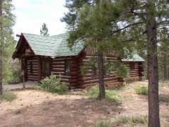
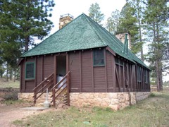
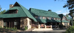
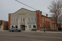
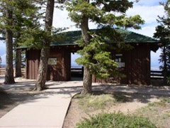
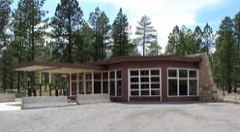
26 National Register listings published here, 1 of them a National Historic Landmark.
Sources: the National Register database, National Park Service
120 topographic sheets and 2 fire insurance atlases across 1 place.
26 National Register listings published here, 1 of them a National Historic Landmark.
Sources: the National Register database, National Park Service
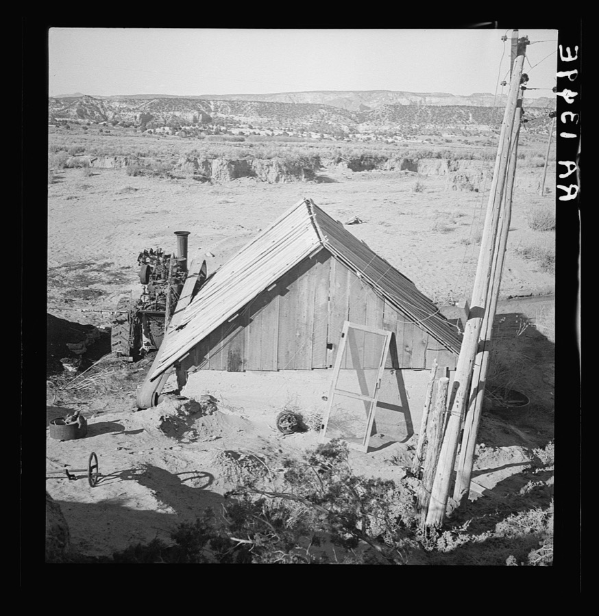
Taken for the Office of War Information and the Farm Security Administration, who photographed the country between 1935 and 1944. Works of United States government photographers, with no known restriction on use. Each opens its catalogue record.
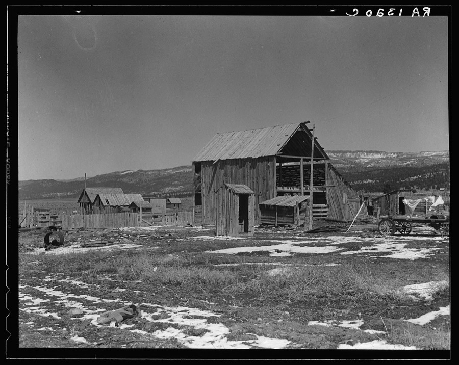
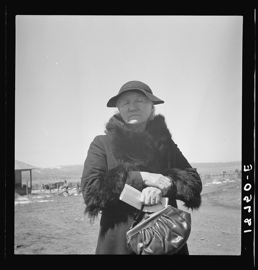
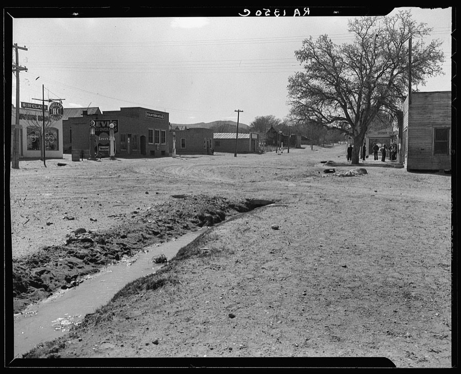
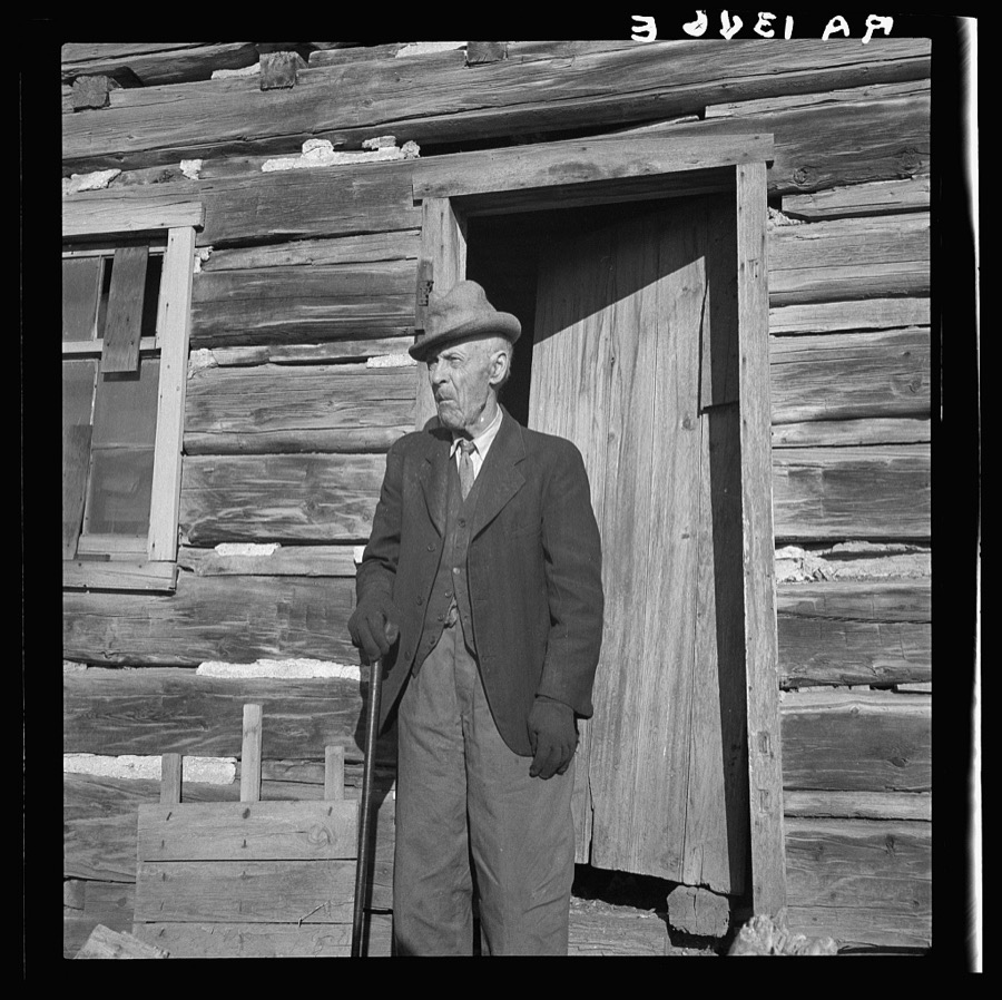
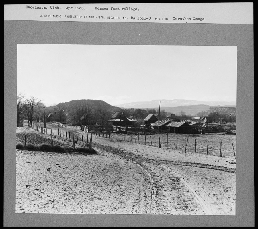
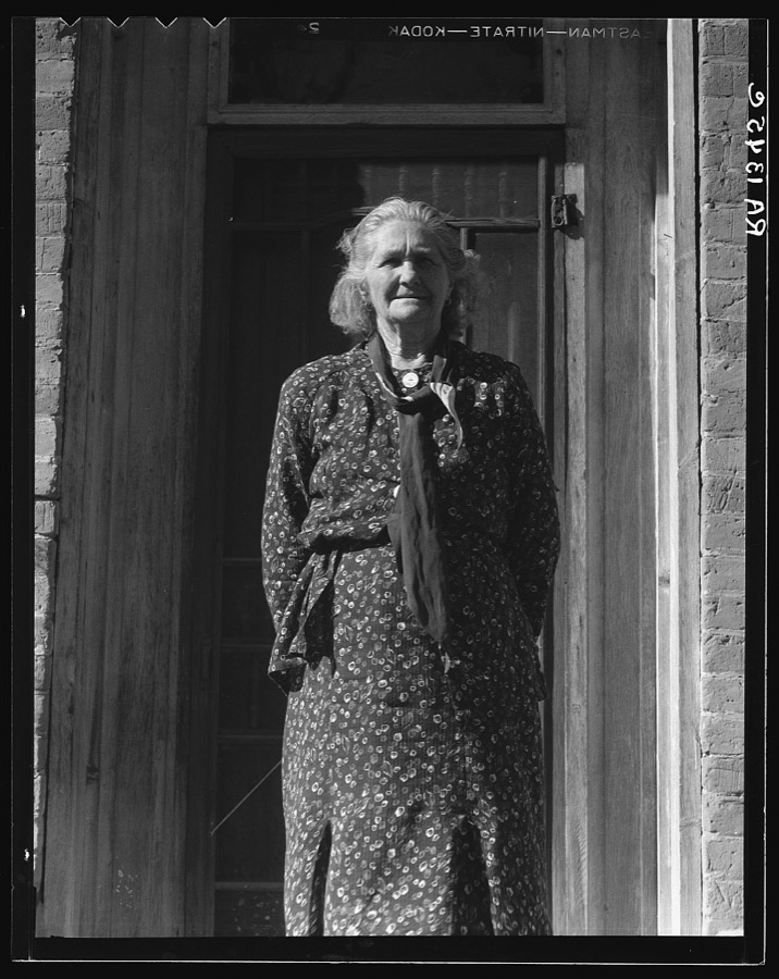
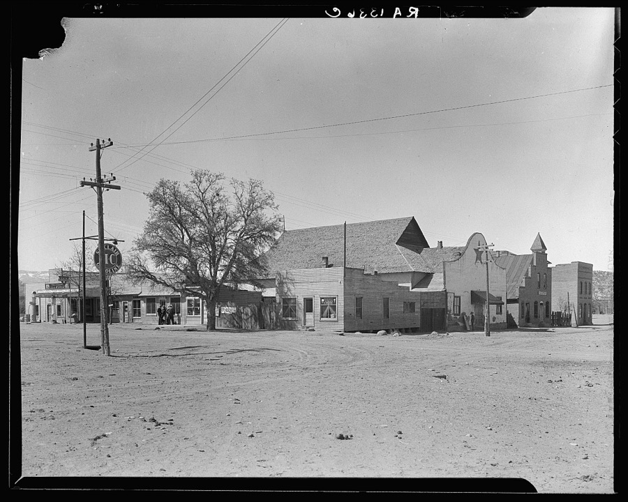
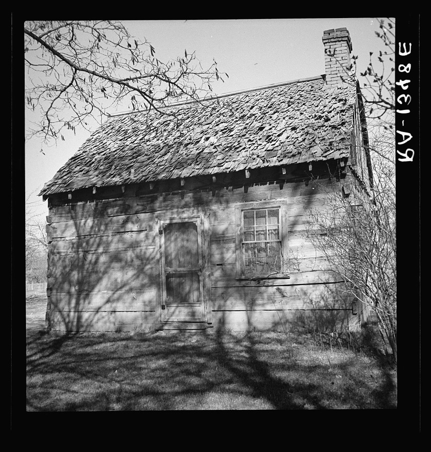
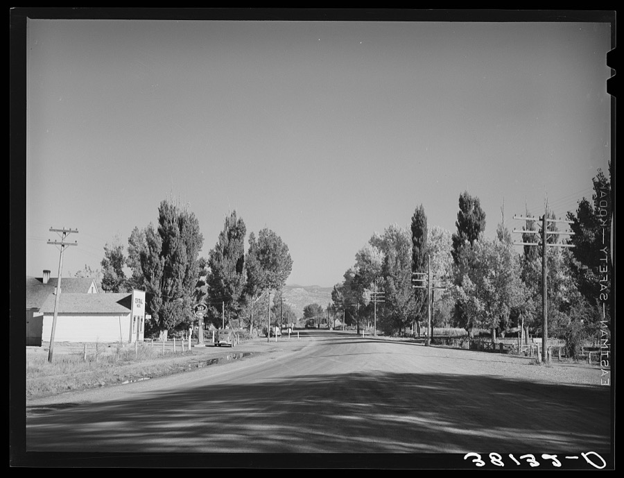
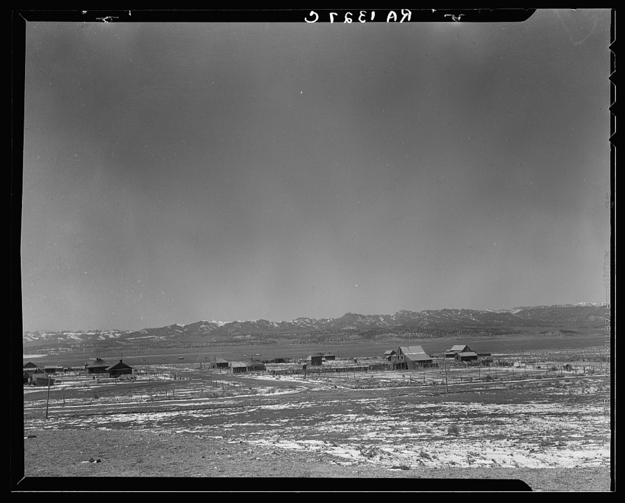
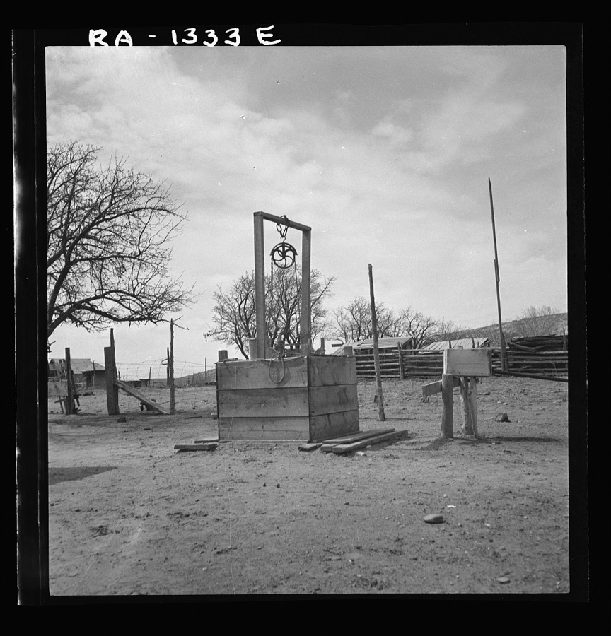
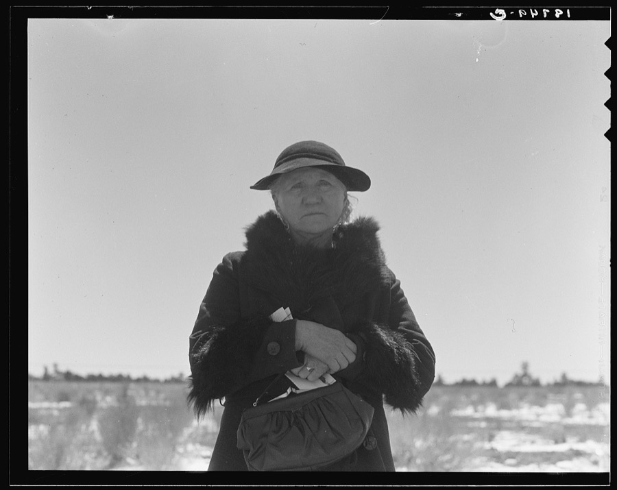
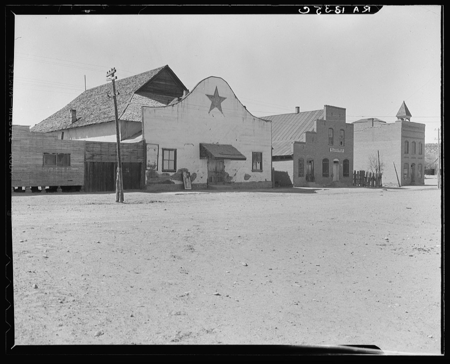
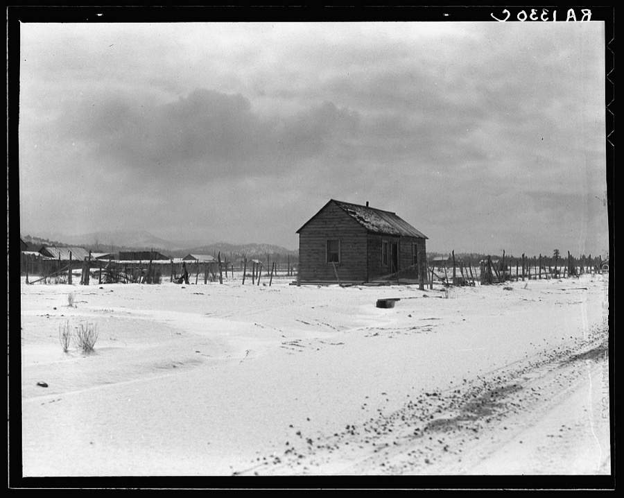
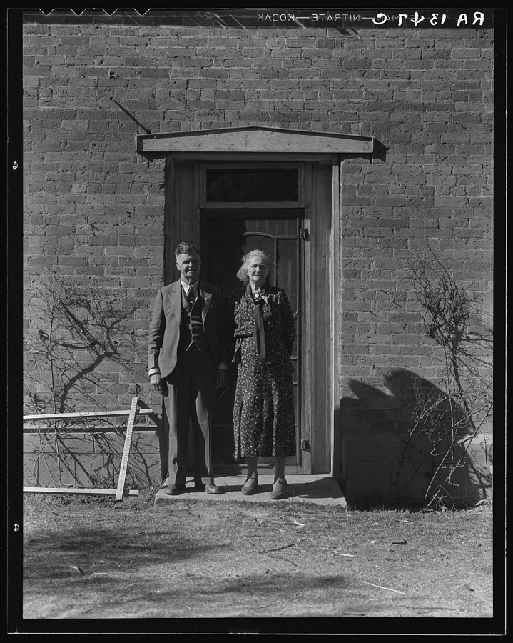
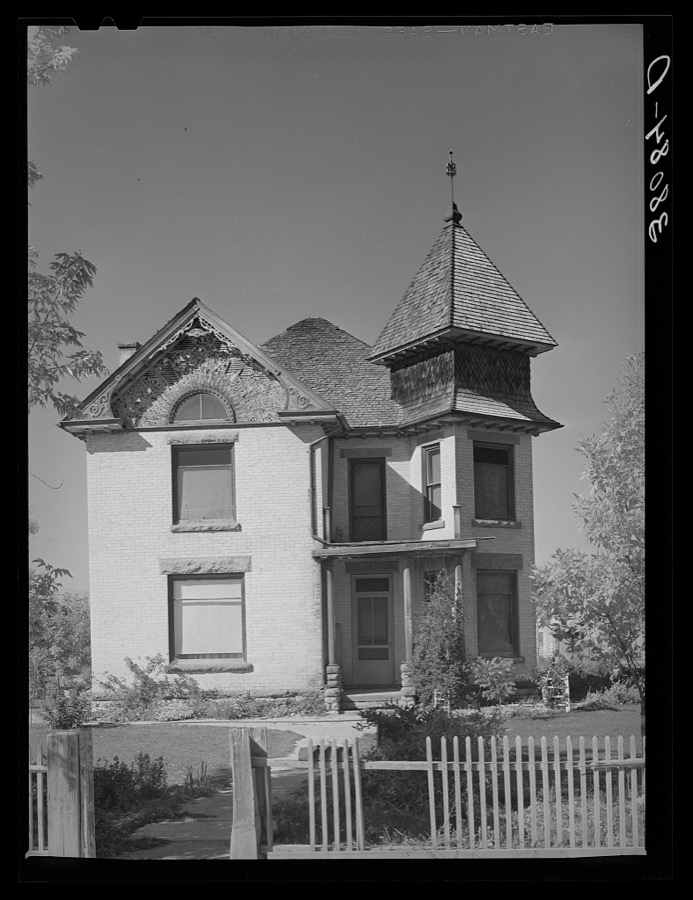
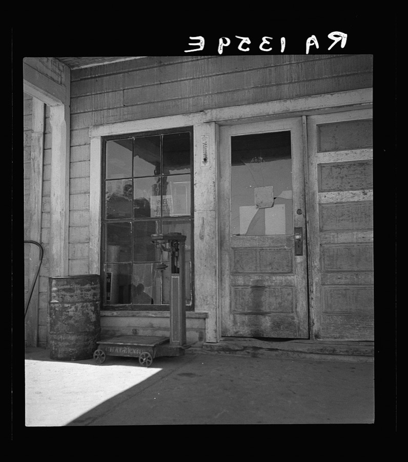
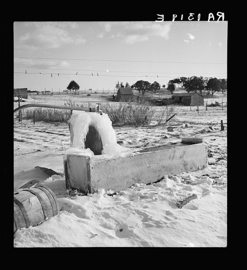
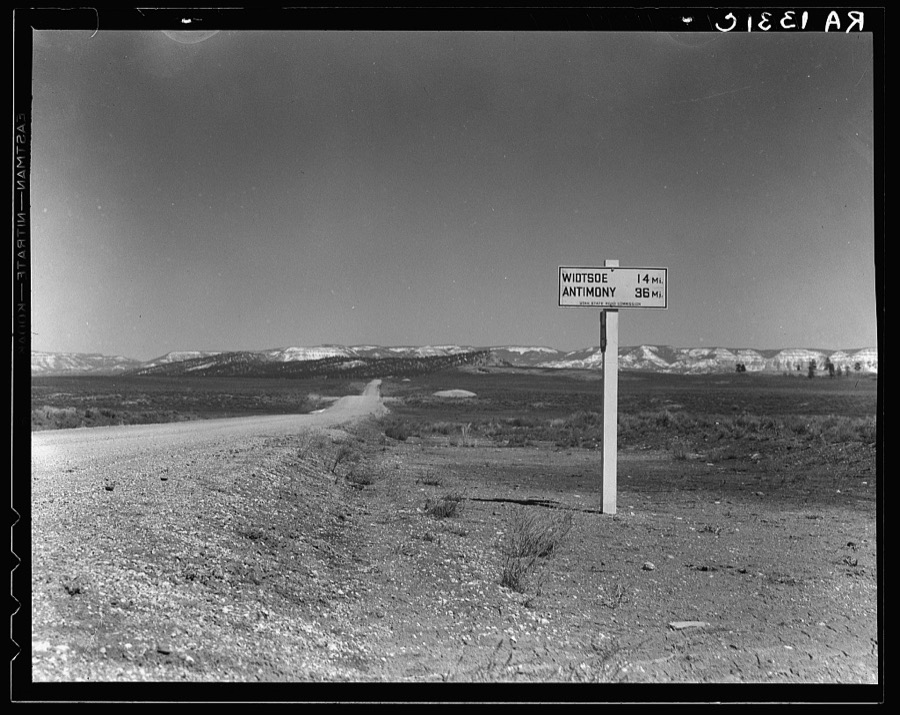
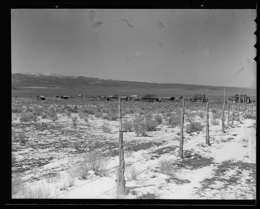
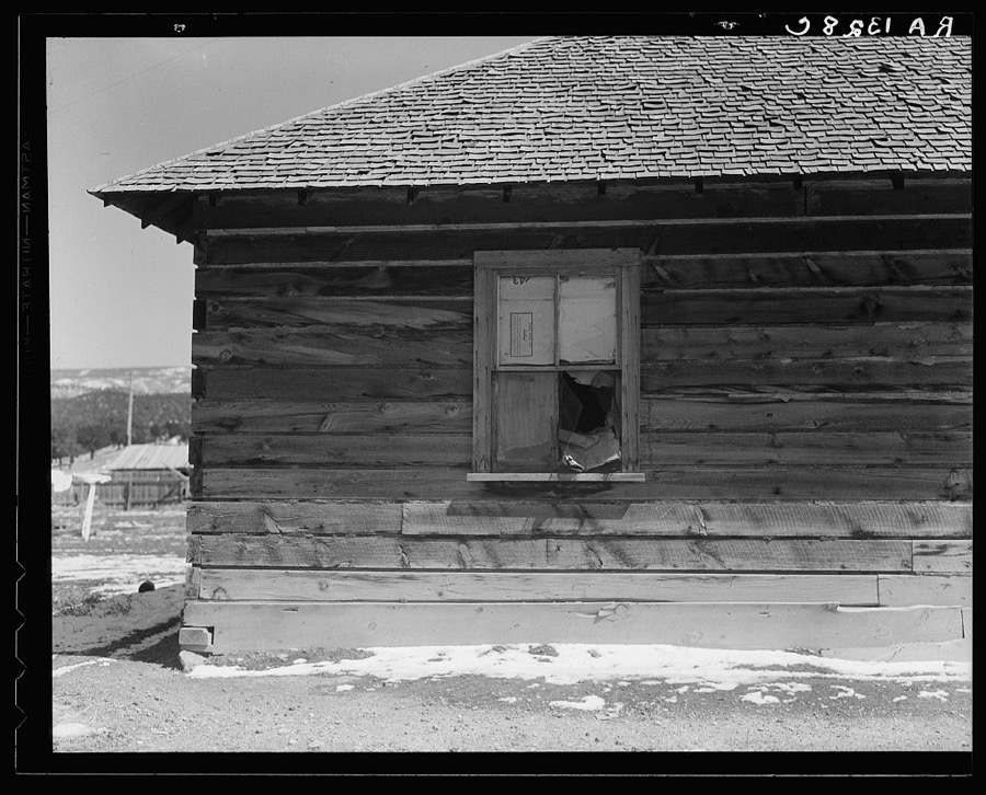
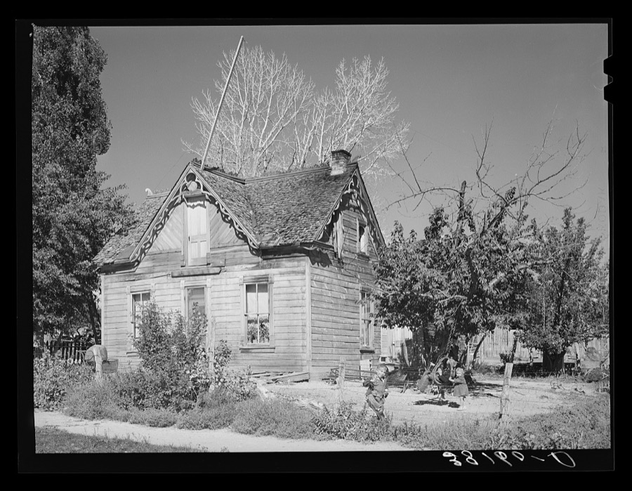
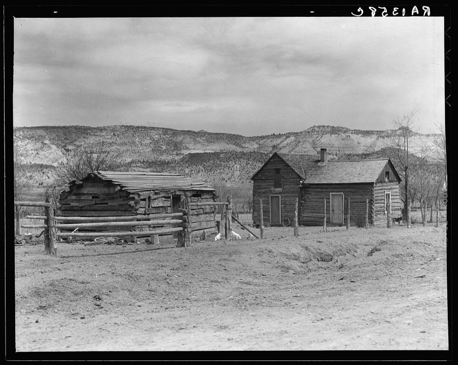
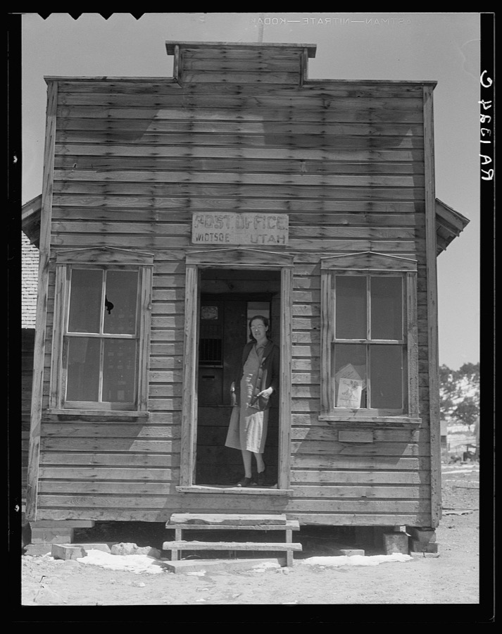
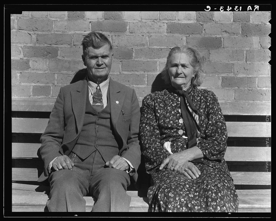
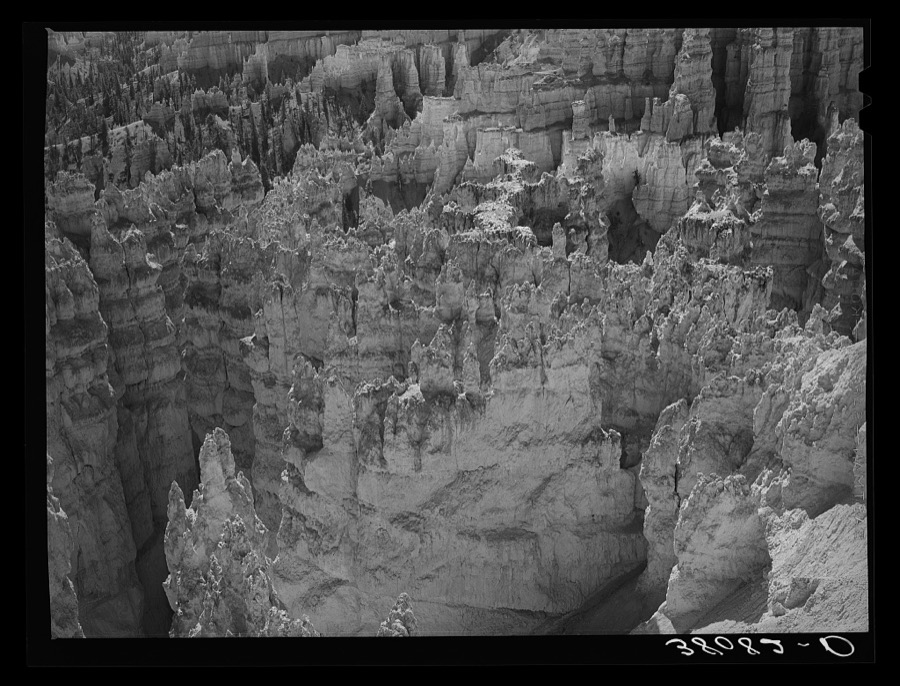
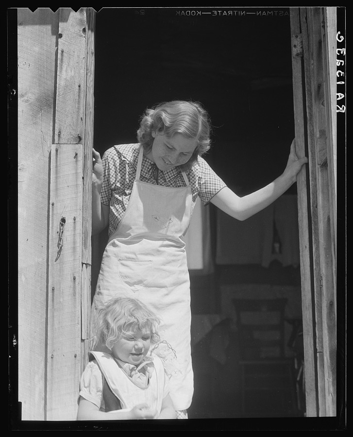
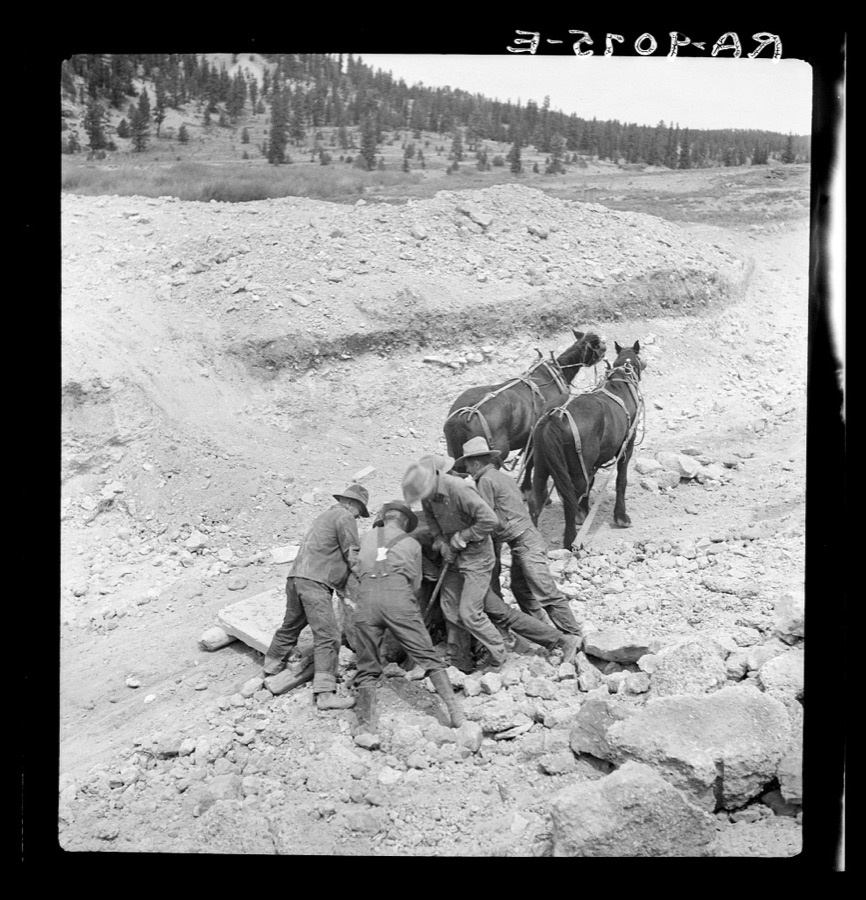
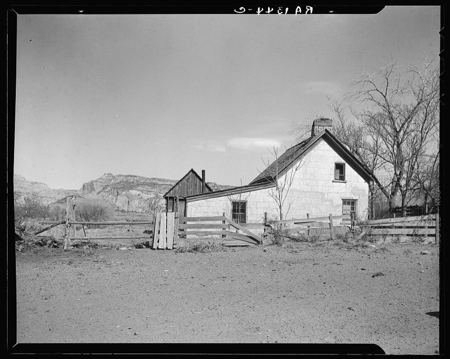
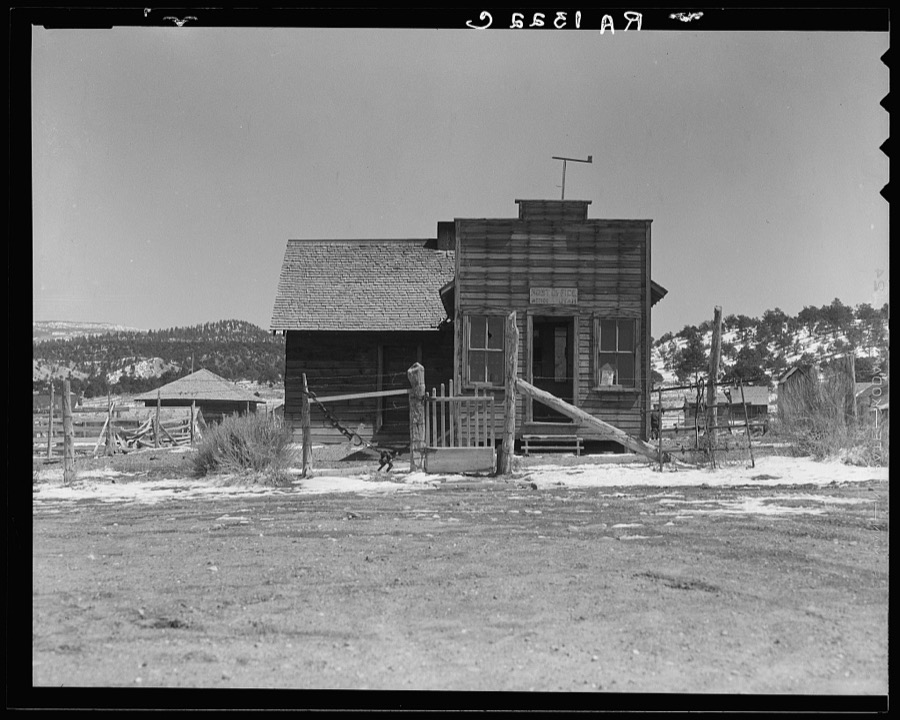
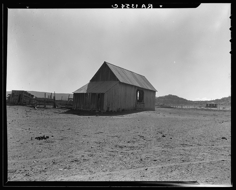
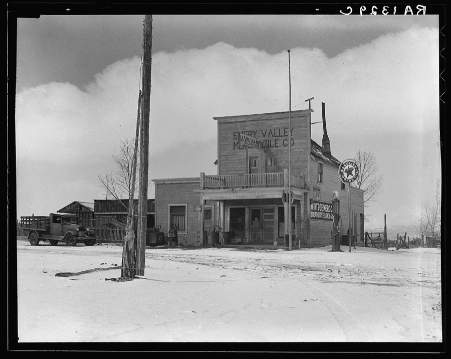
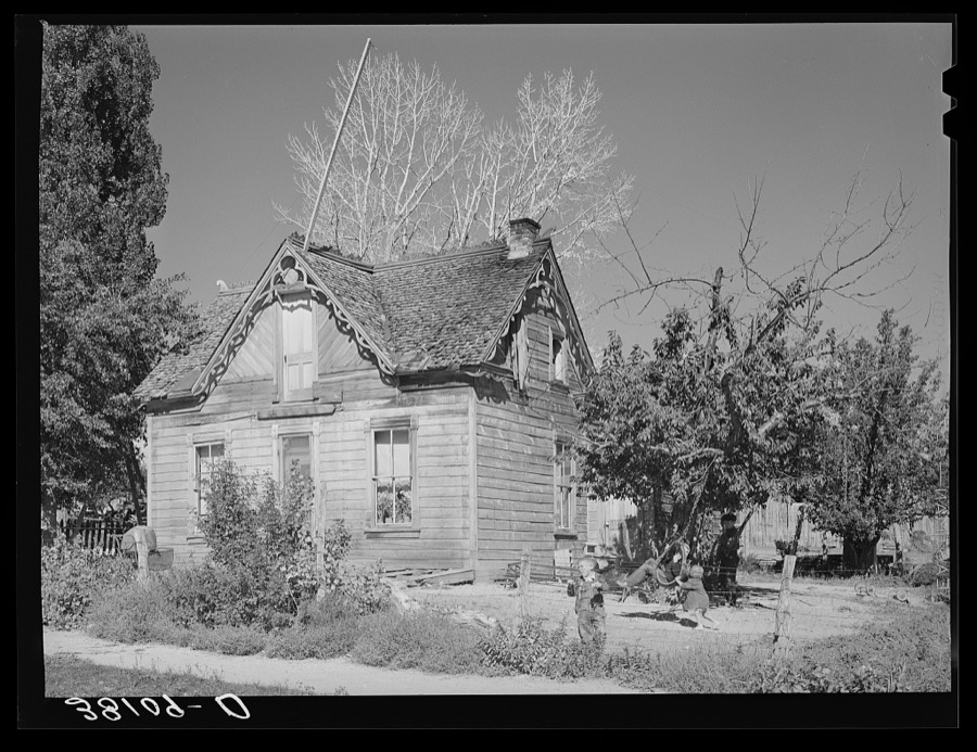
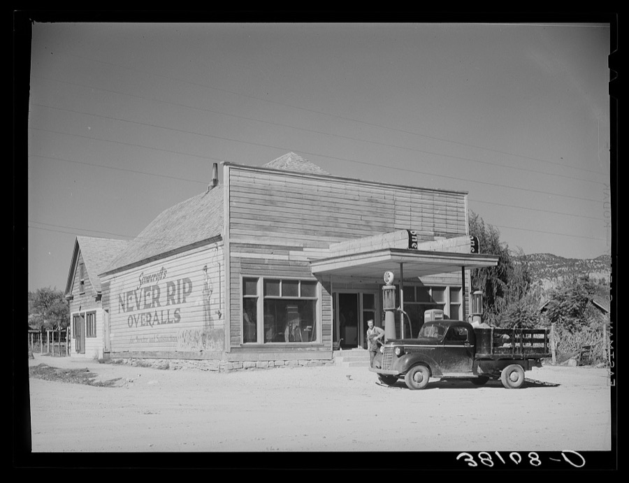
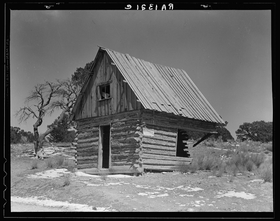
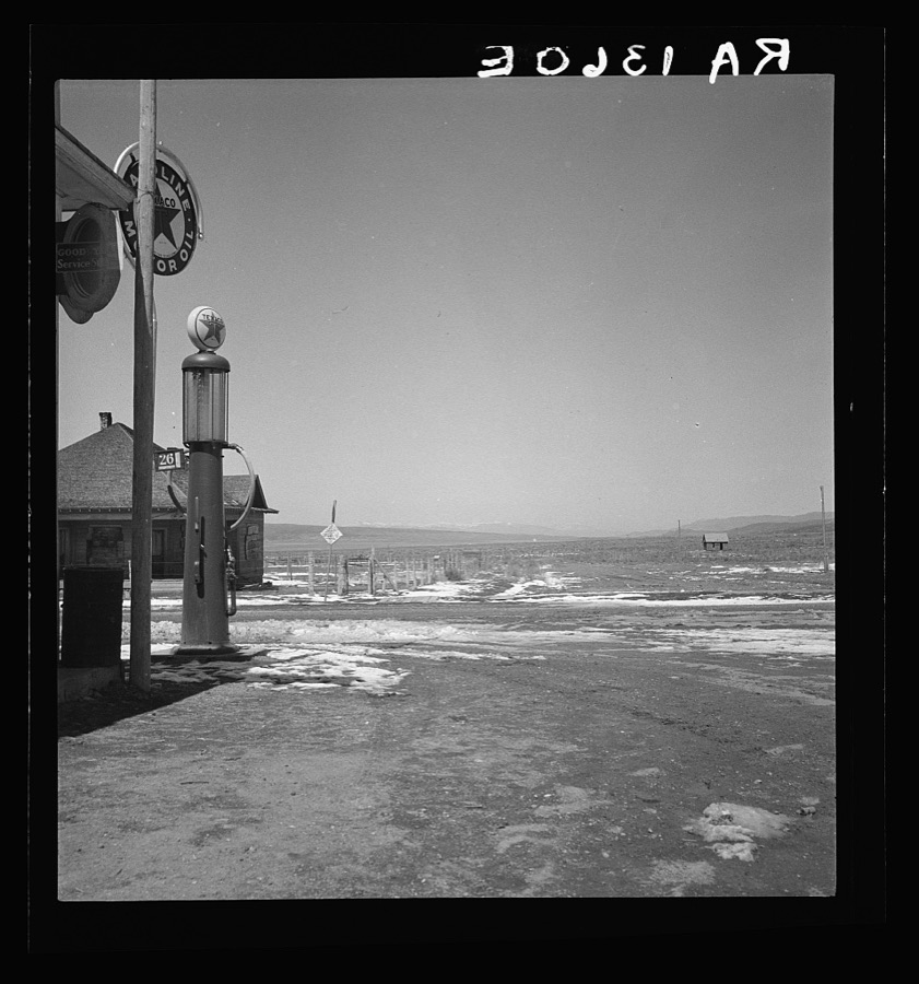
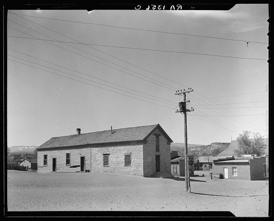
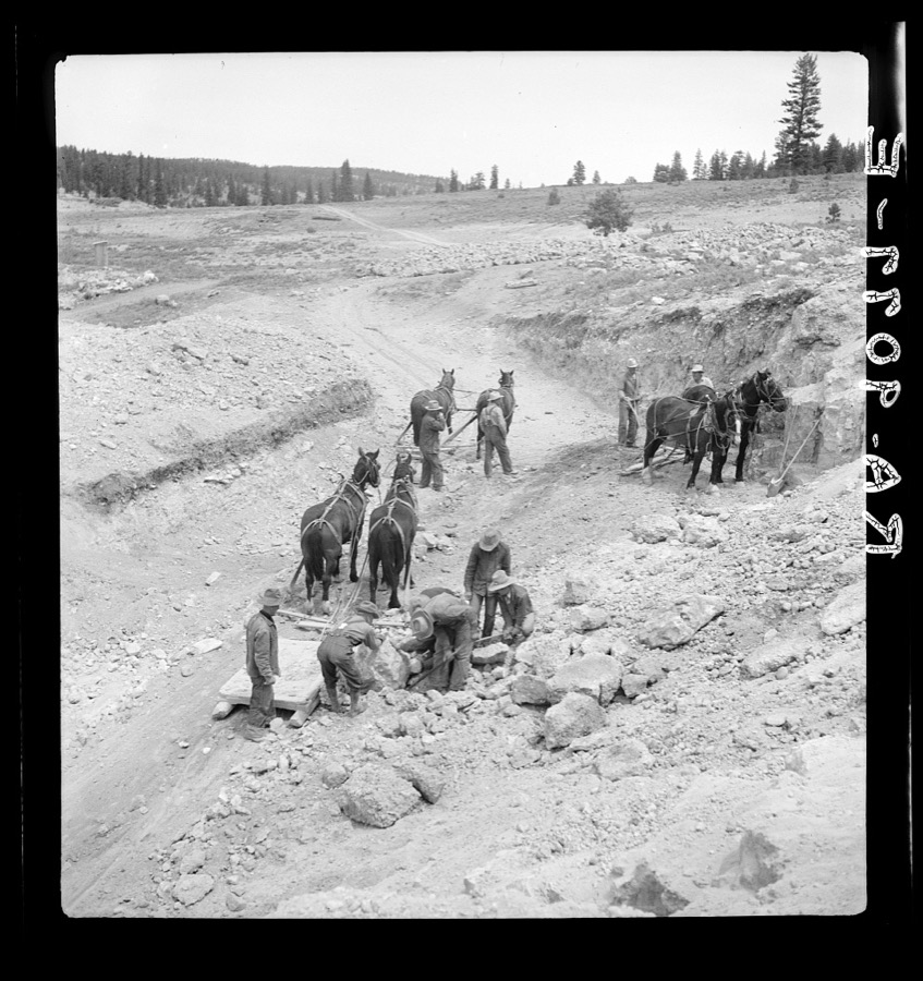
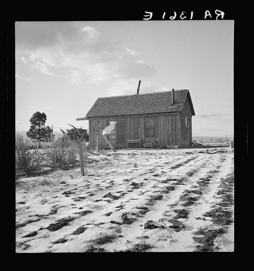
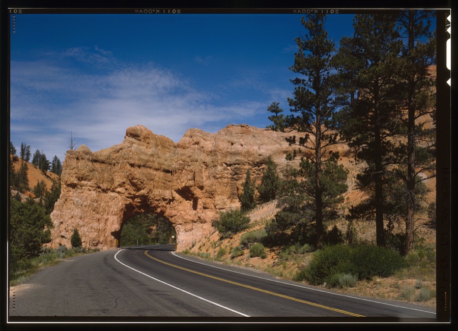
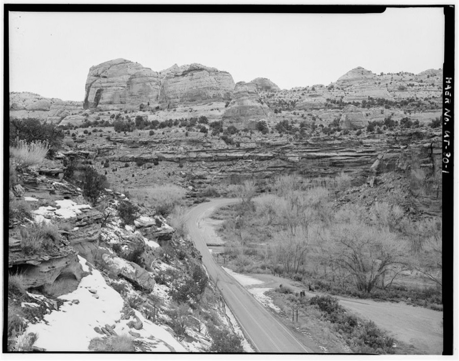
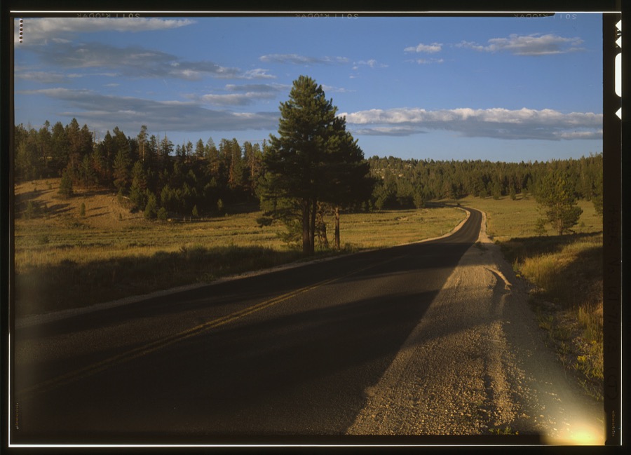
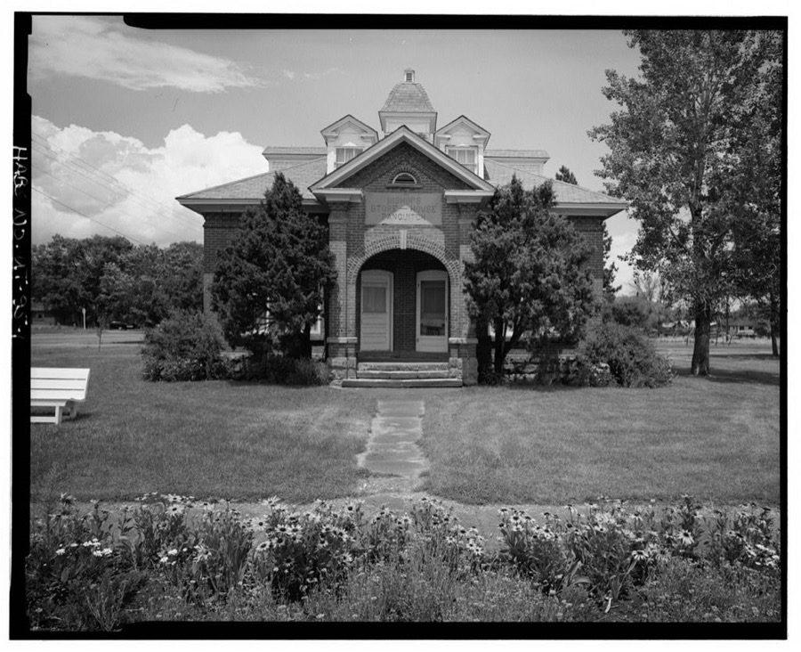
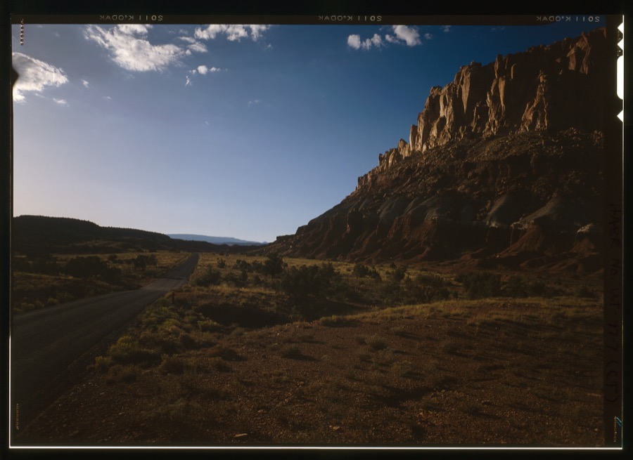
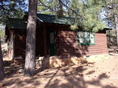
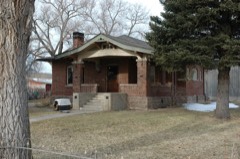
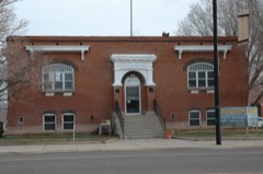
Every property in this county listed on the National Register of Historic Places, with the year it was listed and the federal nomination document.
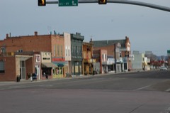
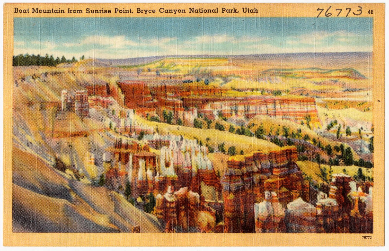
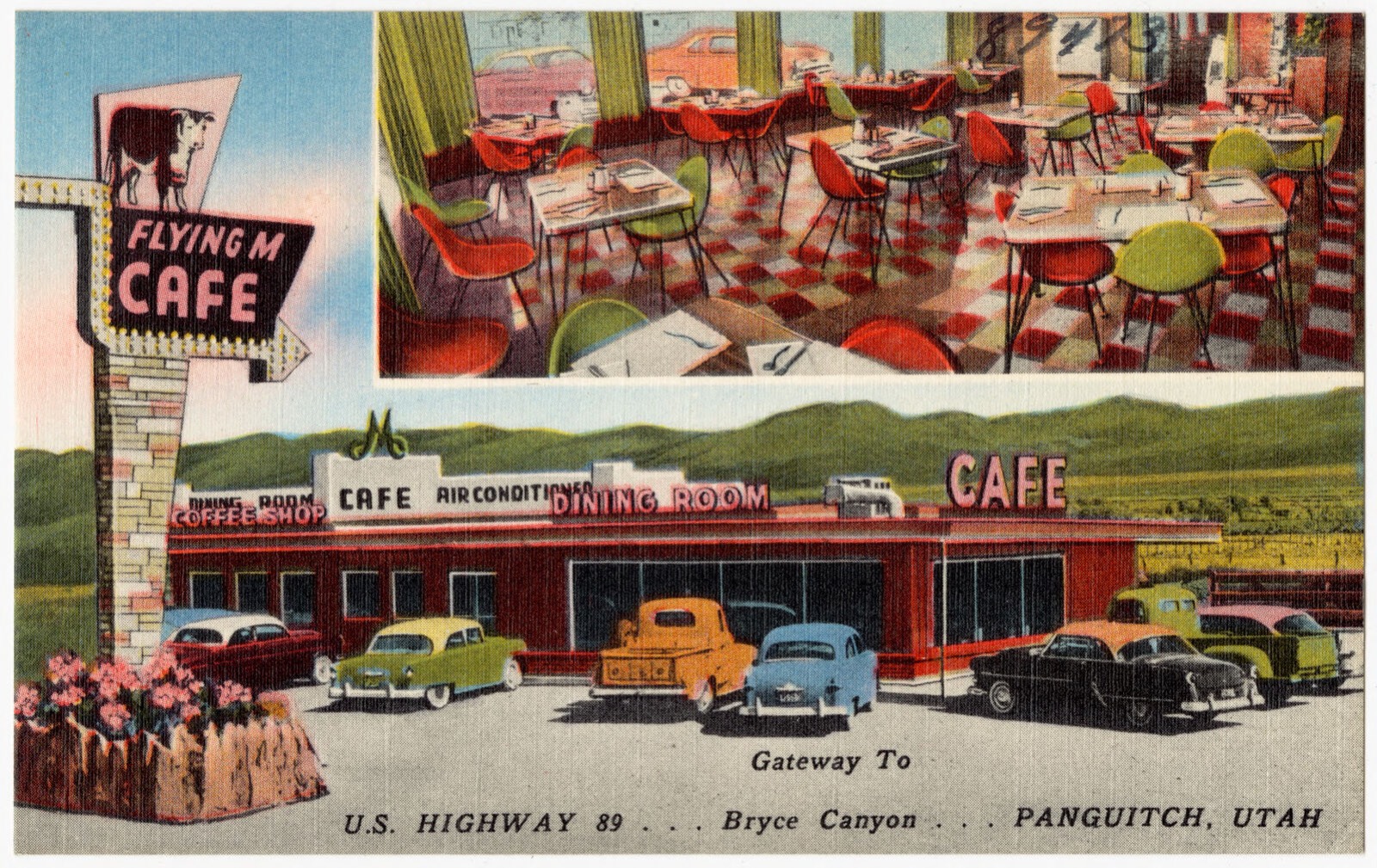
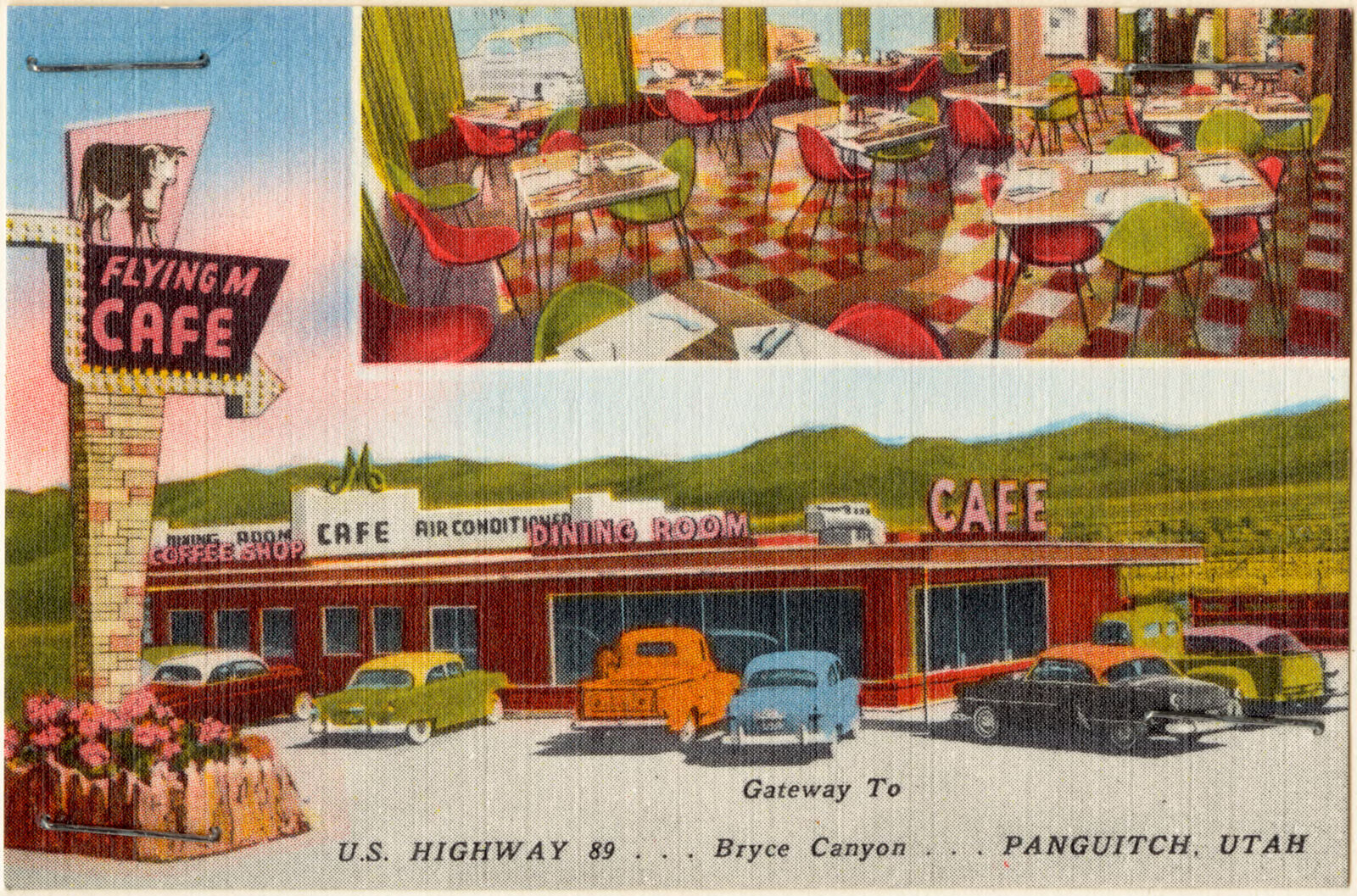
Selected from the Digital Public Library of America's 14 image records catalogued for this county. Every one shown here carries a public-domain status or a licence that permits reuse on a site that carries advertising; non-commercial, share-alike and restricted images are excluded. The selection is spread across the county's towns (at most eight per town), so no single institution's bulk upload crowds out the rest. Each opens the holding library's record, and the complete set at the Digital Public Library of America is one click away.
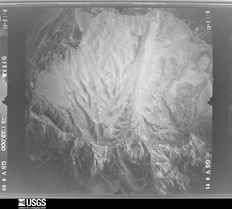
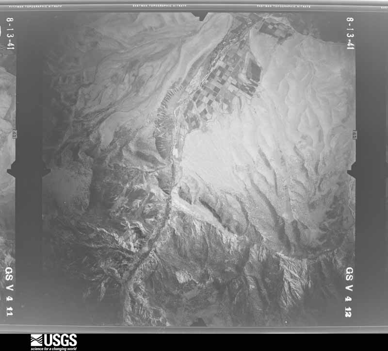
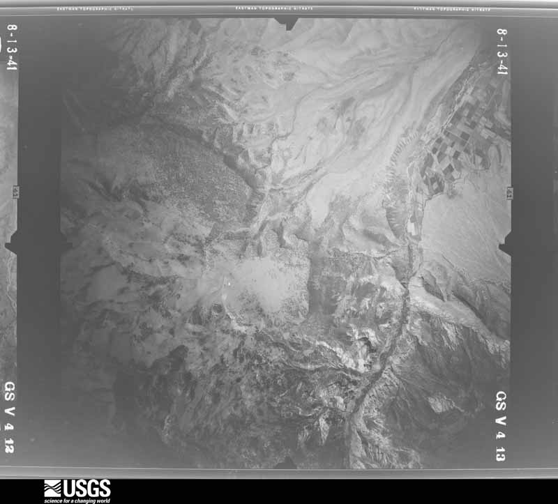
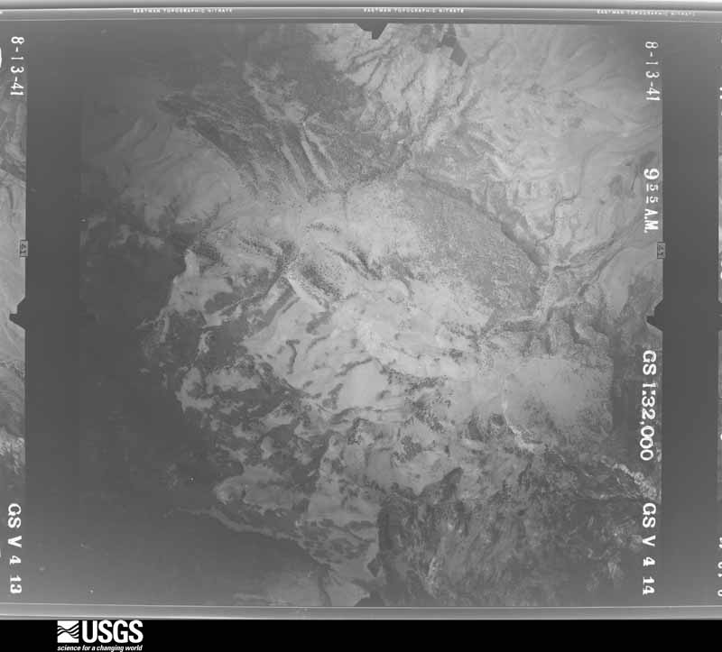
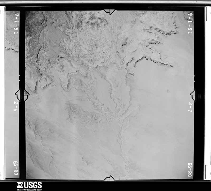
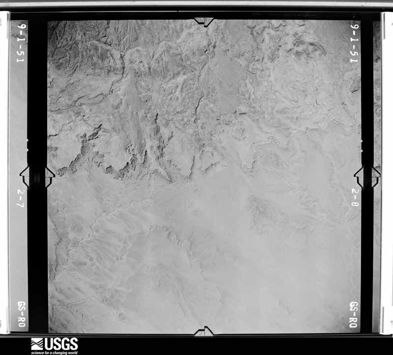
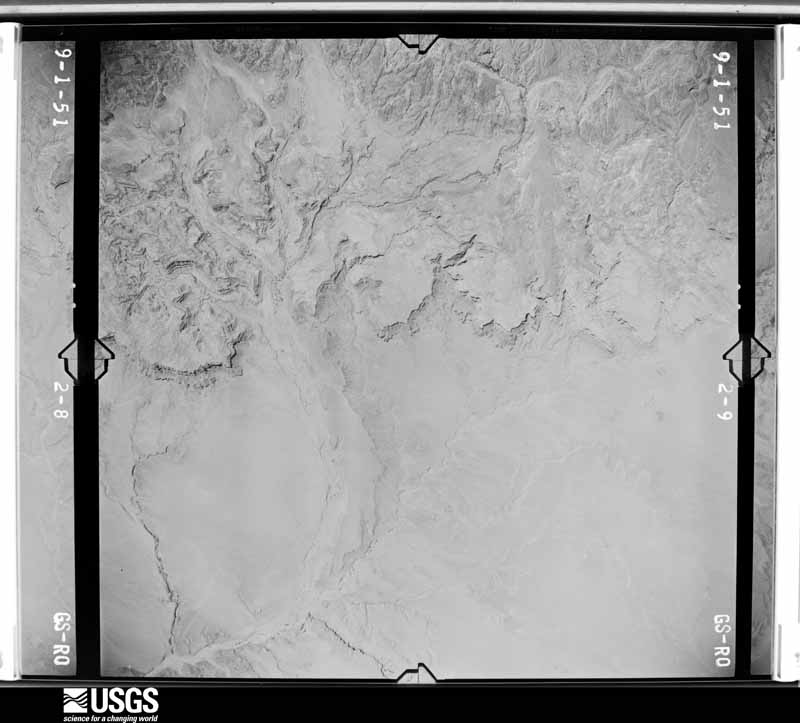
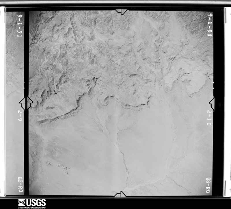
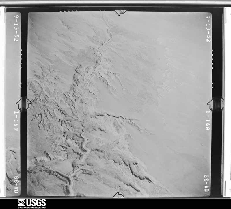
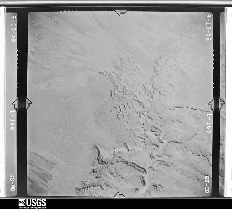
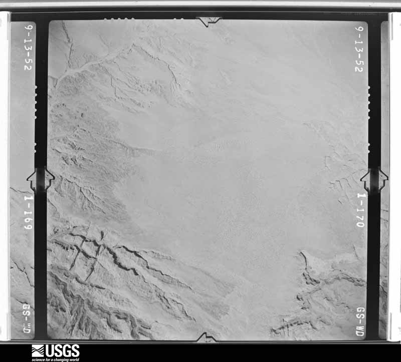
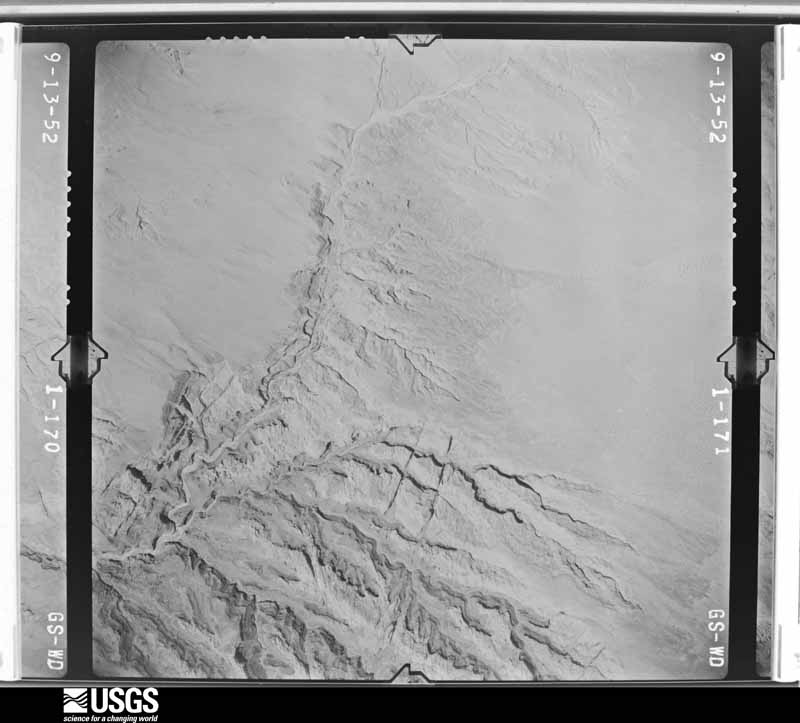
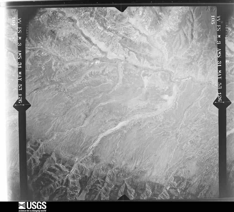
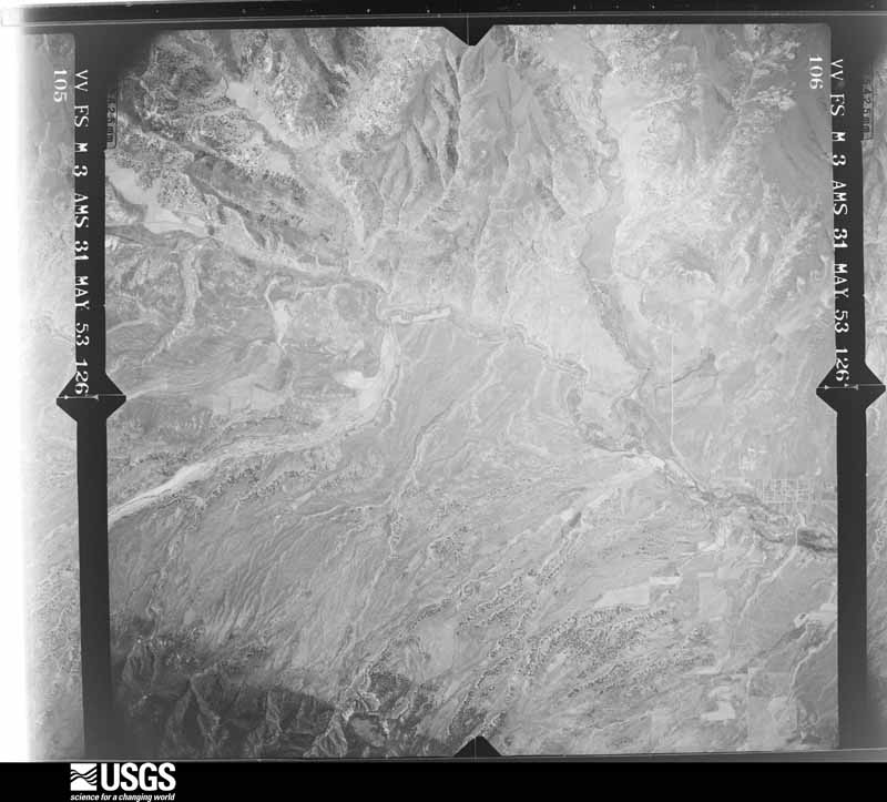
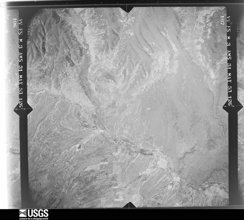
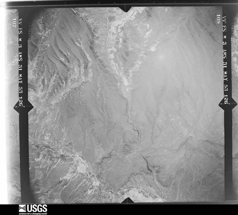
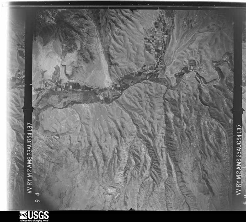
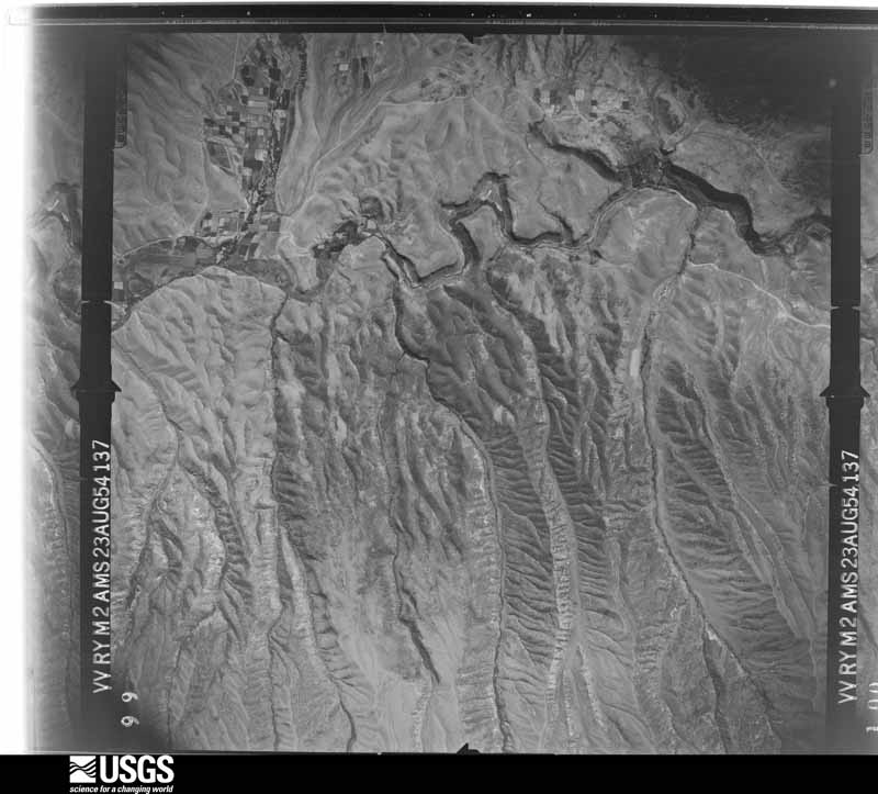
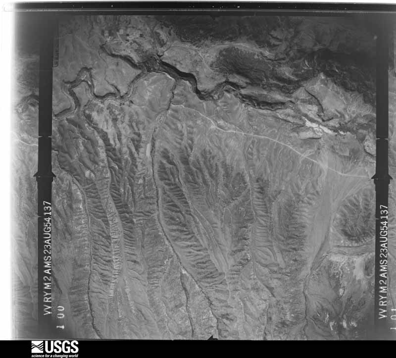
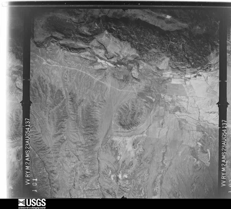
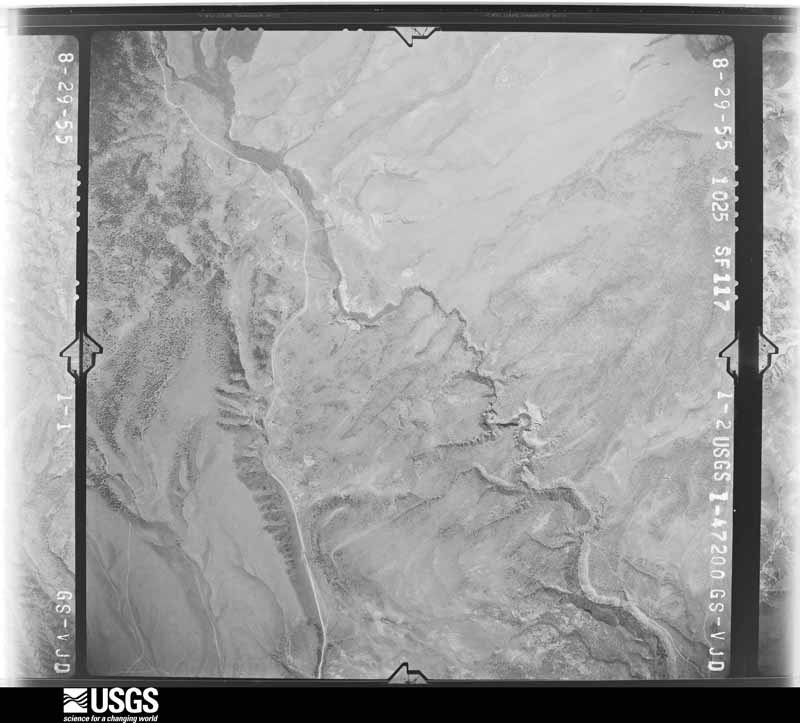
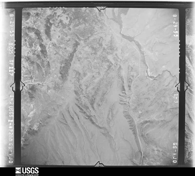
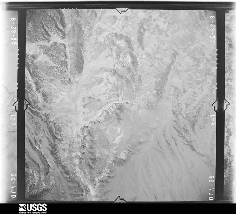
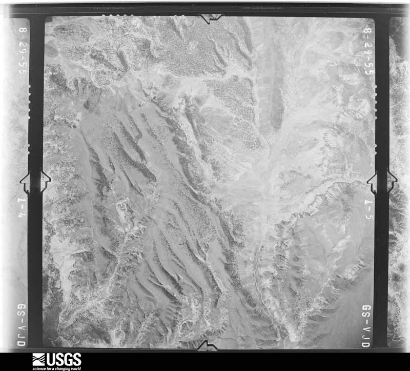
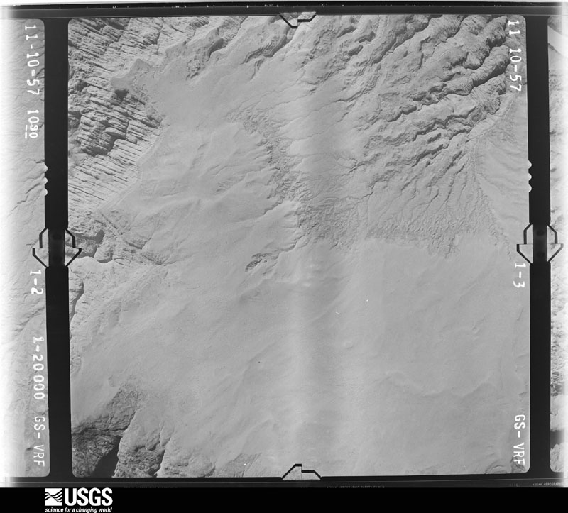
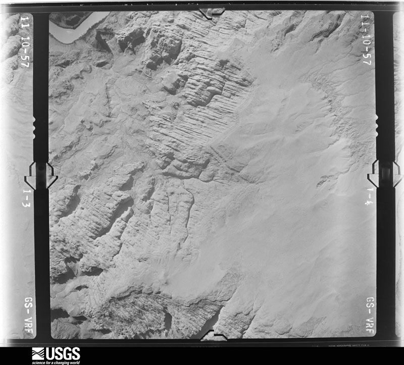
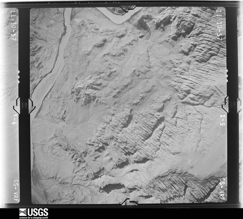
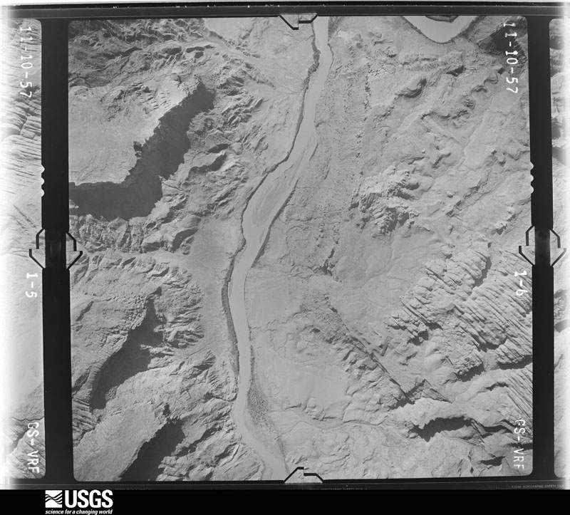
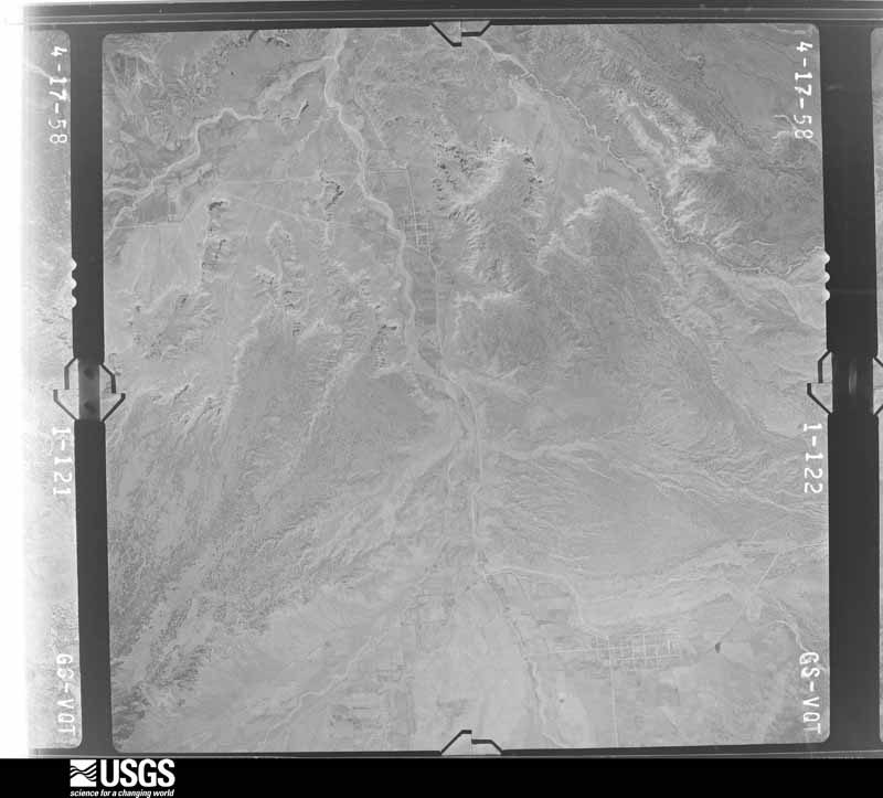
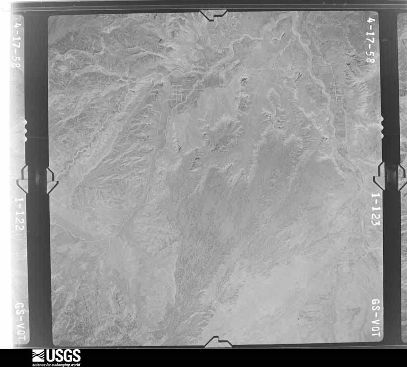
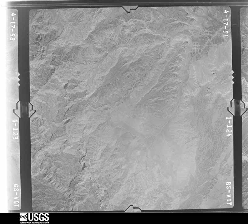
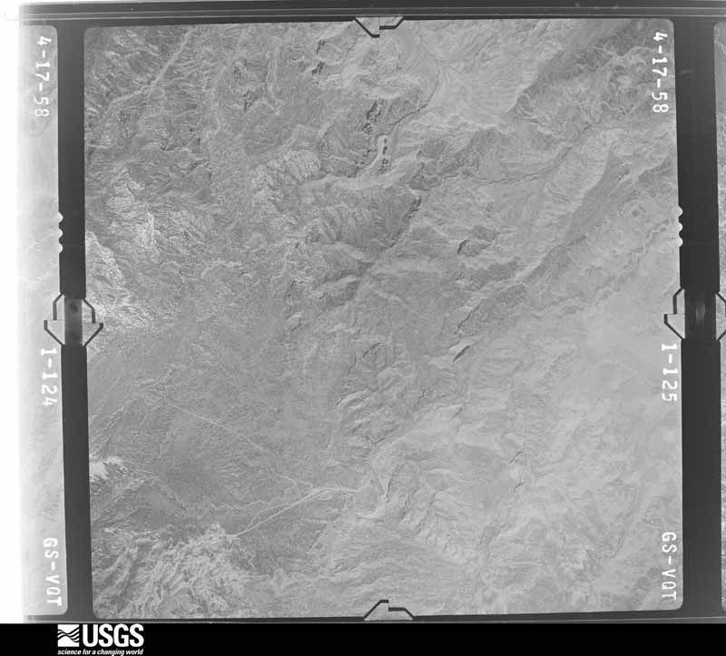
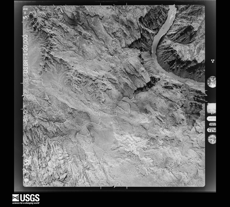
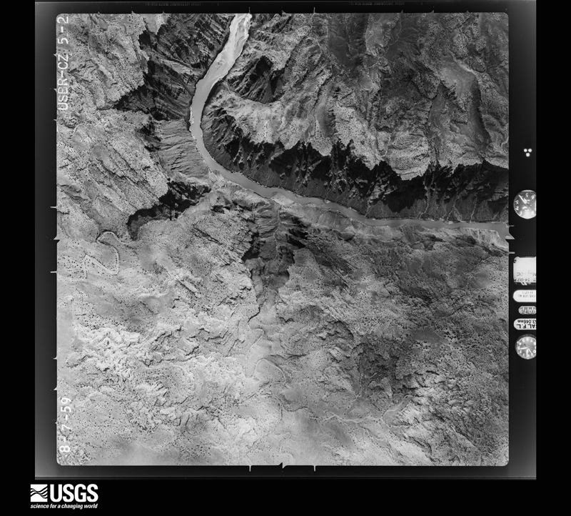
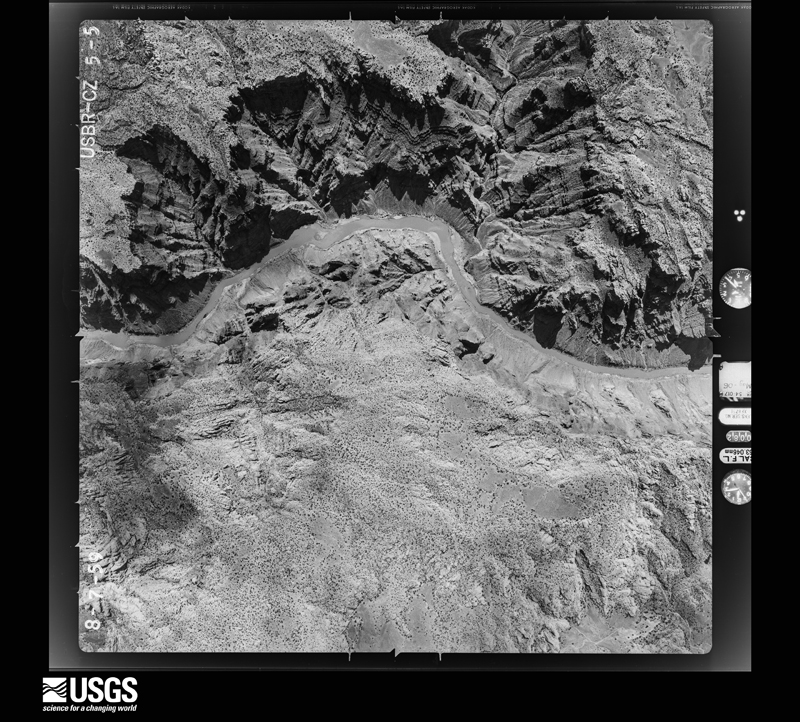
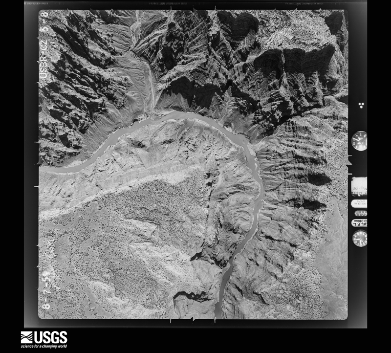
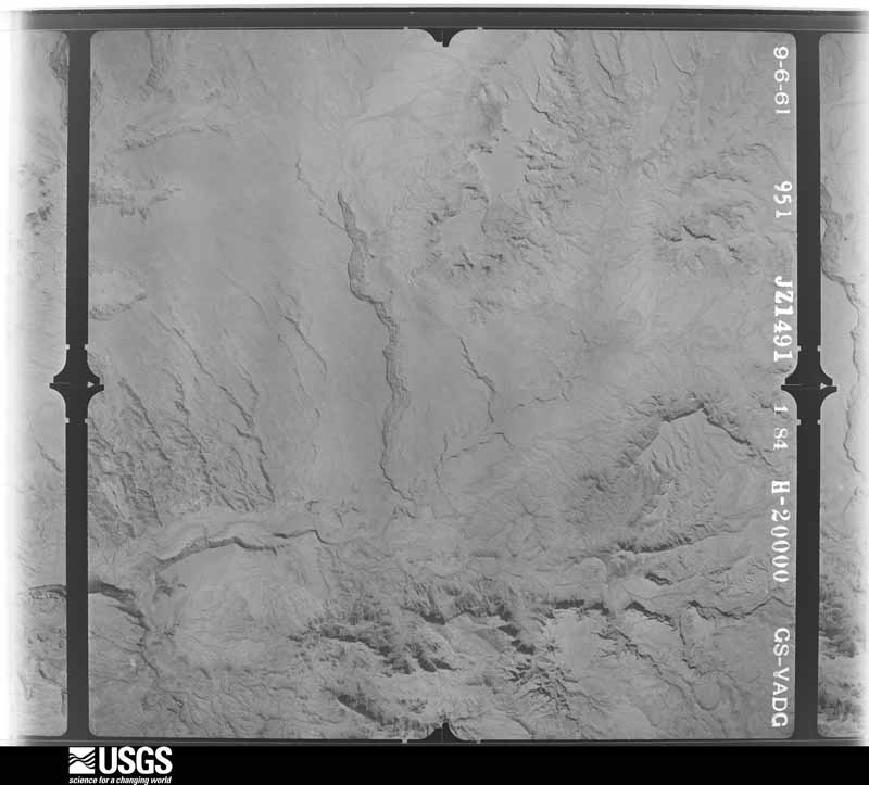
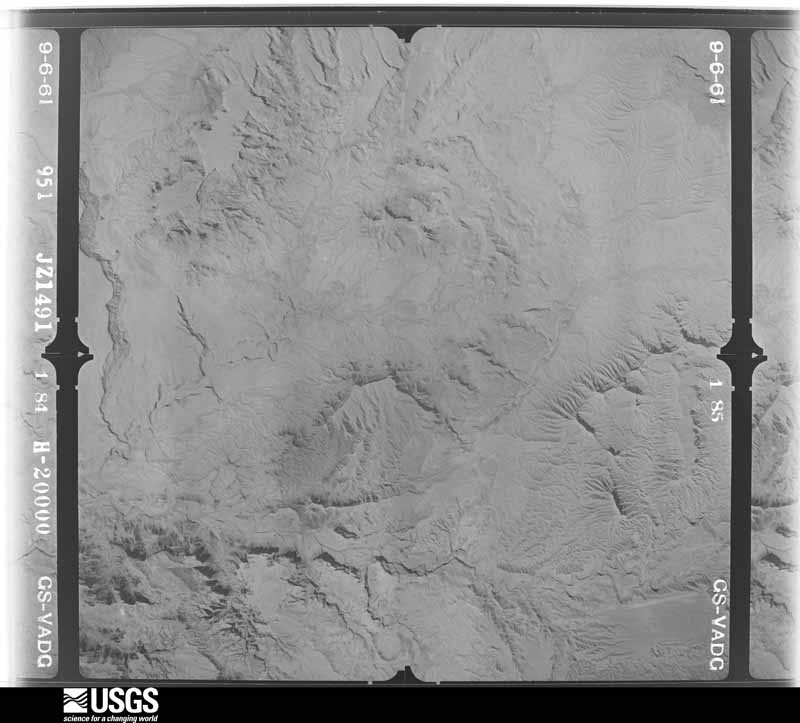
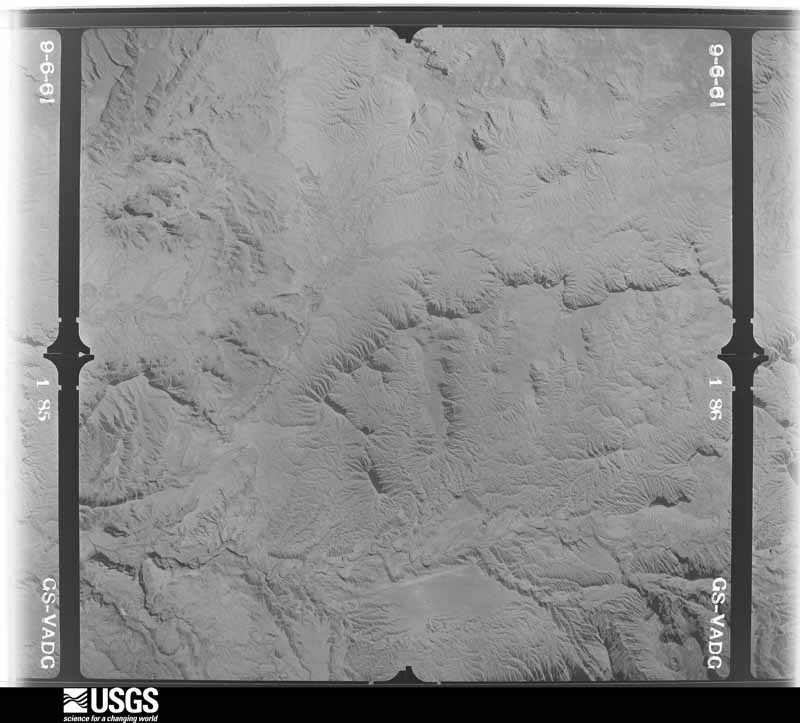
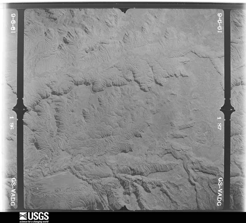
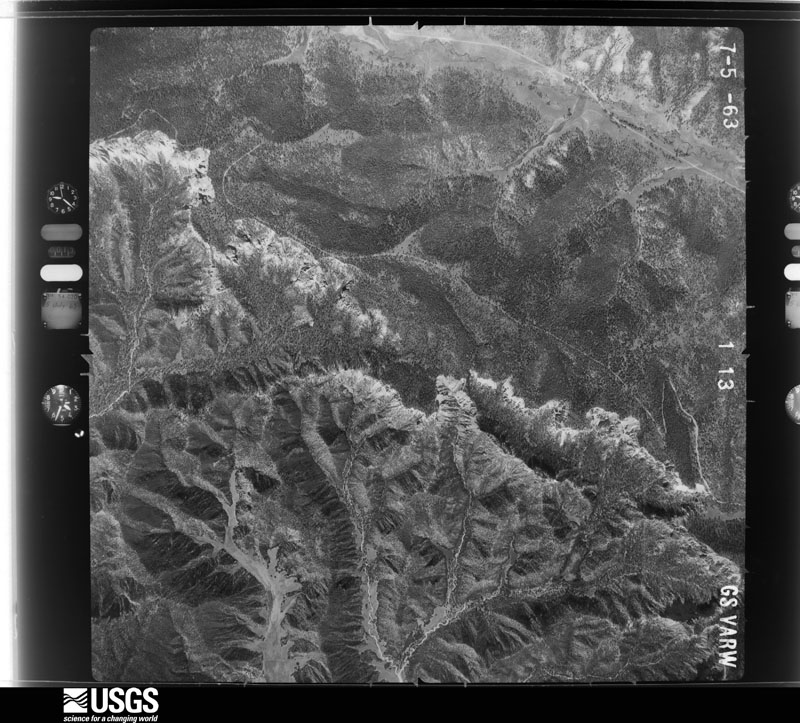
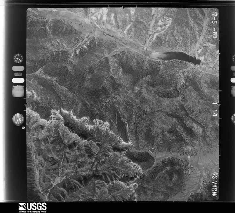
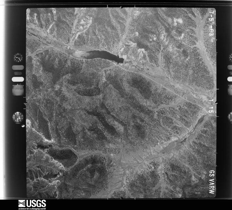
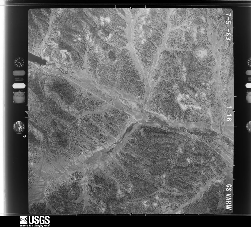
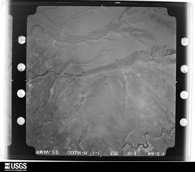
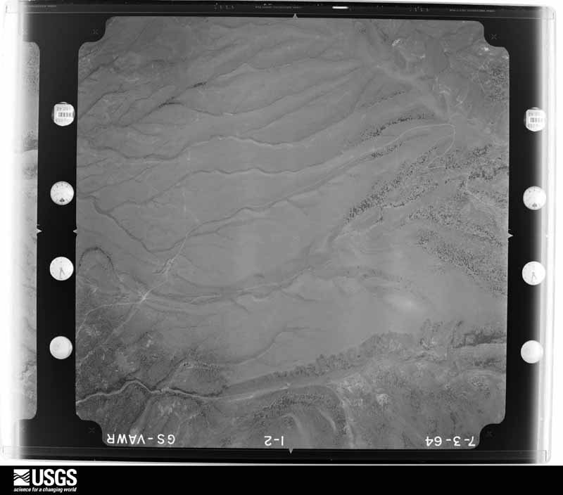
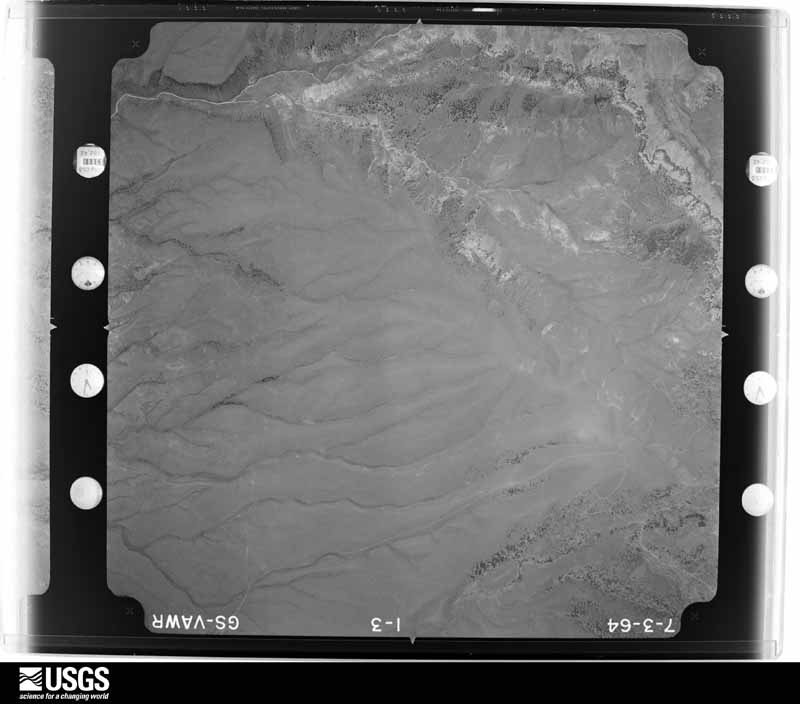
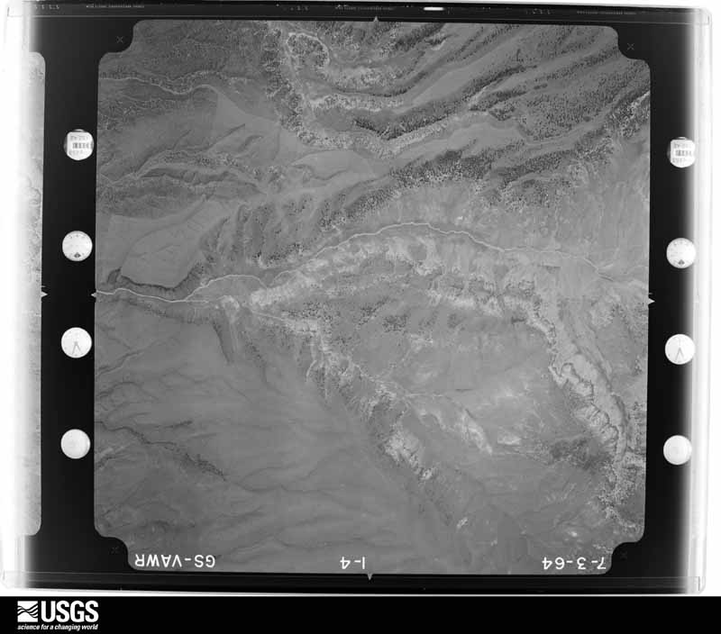
Flown by the U.S. Geological Survey between 1937 and 1989, the Aerial Photo Single Frames collection is the definitive mid-century view of the land: fields, roads and rivers as the camera saw them. The Survey holds 10,989 frames inside the rectangle that bounds this county; the 48 frames below were taken over the county itself, chosen across the decades of flights (at most four a year from that rectangle), so one flight cannot crowd out the rest. The full set is free to browse and download at EarthExplorer under the dataset Aerial Photo Single Frames.
The thermometers that kept this county's weather, and the gages that measured the flow of its streams, as the federal records hold them. The extremes below are measured values from those records, not estimates.
Who lived here in 1950, one enumeration district at a time, as the Census Bureau described each district. Each row opens its official National Archives result, with Population Schedules and ED Maps available there.
Every wildfire the federal occurrence database records inside this county: 1,646 of them, burning about 105,600 acres. 1,336 started naturally and 9 were recorded as arson. Each settlement page carries the fires within five miles of it.
| Reported cause | Fires |
|---|---|
| Natural | 1336 |
| Recreation and ceremony | 100 |
| Missing data/not specified/undetermined | 87 |
| Debris and open burning | 39 |
| Smoking | 32 |
| Equipment and vehicle use | 25 |
| Arson/incendiarism | 9 |
| Misuse of fire by a minor | 6 |
| Fireworks | 4 |
| Power generation/transmission/distribution | 4 |
| Other causes | 4 |
The five largest, by the area the report gives. None of them was recorded as arson.
| Date | Cause | Size | Reported by | Name on the report |
|---|---|---|---|---|
| 31 May 2002 | Debris and open burning | 42,799 acres | Dixie National Forest | SANFORD |
| 8 July 2003 | Equipment and vehicle use | 31,727 acres | Richfield Field Office | BULLDOG |
| 14 June 2009 | Natural | 4,759 acres | Dixie National Forest | BRIDGE |
| 30 May 2003 | Natural | 4,406 acres | Richfield Field Office | LONESOMEBE |
| 5 July 2009 | Natural | 2,889 acres | Dixie National Forest | HORSE VALLEY |
| 26 July 2019 | Natural | 2,650 acres | Dixie National Forest | LITTLE BEAR |
| 15 June 2008 | Missing data/not specified/undetermined | 2,269 acres | Dixie National Forest | CORN CREEK |
| 26 June 2008 | Recreation and ceremony | 1,464 acres | Dixie National Forest | BEAR CREEK |
Every settlement page carries the fires within five miles of it - see the settlement index below.
The NOAA Storm Events Database holds 189 reports for this county, causing 5 deaths, 5 injuries and about $1,842,000 in recorded property damage. Each settlement page carries the reports that name it.
| Kind of event | Reports |
|---|---|
| Flash Flood | 135 |
| Thunderstorm Wind | 20 |
| Hail | 17 |
| Flood | 5 |
| Tornado | 4 |
| Heavy Rain | 3 |
| Lightning | 3 |
| Funnel Cloud | 2 |
The most serious of them, by death, then injury, then recorded damage. The accounts are quoted exactly as the forecast office filed them.
| When | Event | Place named | Harm | What the report says |
|---|---|---|---|---|
| September 2008 | Flash Flood | Escalante Muni Arpt | 2 killed, 2 hurt | Flash flooding occurred in a small, but popular, slot canyon called Egypt 3, located near the Escalante River in the Glen Canyon National Recreation Area. This flooding resulted in two fatalities and two more injuries. ||The drainage of Egypt 3 is very small, measuring approximately 1.2 square miles. The area is void of vegetation and soil, and the underlying parent matter is Navajo Sandstone, which is virtually impermeable. Radar rainfall estimates indicated that approximately 0.2 to 0.4 inches of rain fell on the drainage. Based on calculations after the event, the peak discharge was estimated to be approximately 450 cfs, and the time from the beginning of the rainfall to peak discharge was estimated to be 24 minutes. With the dimensions of the channel, it is probable that the depth of the flood exceeded 20 feet. |
| August 2023 | Flash Flood | Rubys Inn | 1 killed | A 64-year-old woman was reported overdue from a hike on the Fairyland Loop Trail. A search of the area was conducted, with the woman being found deceased. Details are unclear, but showers and thunderstorms were in the area. A news release from Bryce Canyon National Park stated dry washes had higher flows because of precipitation. Though not conclusive, a medical examiner report stated the cause of death was likely due to drowning. |
| July 2012 | Lightning | Boulder | 1 killed | A 24-year-old male was fishing at Row Lake, on the west side of Boulder Mountain, on the evening of July 21st. When a thunderstorm moved into the area, both the man and his dog took shelter under a tree. Lightning struck the tree, and both the man and the dog were killed. |
| August 2011 | Lightning | Bryce Canyon | 1 killed | A 51-year-old German tourist in Bryce Canyon National Park was hiking with his family along the Rim Trail near Sunset Point, when an isolated thunderstorm moved into the area. Most of the family ran toward their car, but the man sought refuge under a large Ponderosa Pine. A bolt of lightning stuck the tree, with some of the energy being transferred to the man, and he died at the scene. |
| September 2014 | Flash Flood | Tropic | 2 hurt, $50,000 | Persistent moderate to heavy rainfall caused flash flooding along the Paria River, especially near Kodachrome Basin State Park. The flood waters undercut the road into the state park, and caused a bridge over the river to collapse. When this occurred, a couple visiting from Italy was crossing the bridge, and their car fell into the river. The car was carried about 150 yards downstream before flipping onto its top. The couple, a 47-year-old female and a 62-year-old male, managed to escape out of a back window before being rescued. Both were taken to the hospital to be treated for hypothermia. The loss of the bridge caused most of Kodachrome Basin State Park to remain closed for an extended period of time. |
| August 2000 | Lightning | Bryce Canyon | 1 hurt | A 47-year-old male British tourist was struck by lightning while standing under a tree a Bryce Canyon National Park. The man suffered head injuries and superficial burns. He was flown to LDS Hospital in Salt Lake City where he was in critical condition. He later recovered from his injuries. |
| August 2003 | Flash Flood | Tropic | $600,000 | The worst flash flooding in the town of Tropic in 40 years occurred as over 2 inches of rain fell over the area in 90 minutes, sending torrents of mud and water down the center of town and into houses and basements. The floods also tore large propane tanks loose and swept them away. About 30 structures sustained damage, most of them residential homes. No deaths or major injuries were reported. |
| September 2016 | Tornado (EF1) | Panguitch | $300,000 | A tornado touched down in Panguitch, producing an intermittent damage path|which included EF1 damage to a business in town and EF0 damage to several homes and numerous trees. The most significant damage occurred to a business located at 609 North Main Street, where the tornado took off the roof of a building. The tornado also caused significant damage to numerous vehicles in the area and knocked down multiple power lines, leaving much of the community without power. No injuries were reported across the area. |
| September 2013 | Flood | (Bce)Bryce Canyon Ar | $300,000 | Heavy rainfall fell over a wide area, resulting in flash flooding over most of the washes and drainages within the Grand Staircase-Escalante National Monument. There was also damage near the town of Escalante, as flood waters deposited rocks and mud on State Route 12, and some larger boulders also helped to damage the road.||Most local roads were closed for more than a day, and many of these roads sustained damage from flood waters, including significant damage to Hole-in-the-Rock Road. At least three culverts along Hole-in-the-Rock Road were damaged, and at least five culverts required extensive debris removal. By the end of September, road damage across all of Garfield County due to flooding was $320,000, most of which occurred in this event. |
| August 1996 | Flash Flood | Escalante Area | $100,000 | no account filed |
| June 2011 | Flood | Hillsdale | $50,000 | The Sevier River flooded again in mid-June, with the focus further south along the river this time. Low lying roads and bridges in the town of Hatch were impacted, including the Old Hatch Bridge. |
| July 2010 | Flash Flood | Tropic | $50,000 | After an estimated rainfall of about 4 inches in 2.5 hours, the Paria River flooded basements in the city of Tropic, and flowed over small bridges leading to nearby residential areas. The flood wave continued down the Paria all the way down to the Utah/Arizona border. |
| September 2013 | Flash Flood | Panguitch Muni Arpt | $30,000 | Heavy rain just northeast of Panguitch, Utah caused flash flooding in the Sand Wash and Lime Kiln parts of town. Flooding in the agricultural area was significant, causing thousands of dollars of damage to fields and yards; however, no damage was reported to homes, and no injuries were reported to people or livestock. |
| September 2013 | Flash Flood | (U07) Bullfrog/Glen | $30,000 | Flash flooding occurred along State Route 95, damaging portions of the road, especially near mile marker 31. |
| September 1997 | Flash Flood | Henrieville | $30,000 | no account filed |
| August 2021 | Flash Flood | Tropic | $25,000 | Flash flooding produced significant trail damage in Bryce Canyon National Park. Park officials reported the Wall Street section of Navajo Loop, the Bryce Connector Trail, and Peekaboo Loop were closed were closed due to the damage. |
| August 2021 | Flash Flood | Boulder | $25,000 | Capitol Reef National Park officials reported Notam-Bullfrog Road was washed out and impassible due to flash flooding south of Sandy Ranch at Dog Water Wash. |
| August 2021 | Flash Flood | Boulder | $25,000 | Capitol Reef National Park officials reported Burr Trail, Strike Valley, and Halls Creek Road were all impassible due to flash flooding. |
| August 2021 | Flash Flood | (U07) Bullfrog/Glen | $25,000 | Capitol Reef National Park officials reported Notam-Bullfrog Road was washed out at Bullfrog Creek Crossing near Glen Canyon National Recreation Area, resulting in a 5-foot drop-off, making the road impassible. |
| June 2024 | Flood | Panguitch | $20,000 | Street flooding was reported in Panguitch at 85 N Main Street, with water entering through doors into shops. Time is approximate. |
| August 2022 | Thunderstorm Wind | Cannonville | $20,000 | Strong winds blew a roof off a house in Cannonville. The time of the report is estimated. |
| August 2010 | Flash Flood | (U07) Bullfrog/Glen | $20,000 | Multiple roads at the southern end of Capitol Reef National Park were flooded and damaged, most notably the Notom-Bullfrog road. |
| August 1998 | Flash Flood | Henrieville | $20,000 | no account filed |
| July 2011 | Flash Flood | (U07) Bullfrog/Glen | $15,000 | Flash flooding was reported along State Route 95, with large trees and rocks covering part of the road. In addition, damage was reported to State Route 276 going toward Bullfrog. Flash flooding also occurred along Poison Spring on the north aspect of the Henry Mountains. |
| August 2012 | Flash Flood | Escalante Muni Arpt | $10,000 | A large flash flood occurred in the area around 25 Mile Wash, damaging roads in the area. |
| August 2010 | Flash Flood | (U07) Bullfrog/Glen | $10,000 | Flash flooding occurred in Twenty-five Mile Wash. In addition, roads were impassable in the surrounding area, including damage to Hole-in-the-Rock road, further north than the road was damaged earlier in the day. |
| September 1997 | Hail | Hatch | $10,000 | no account filed |
| September 1997 | Flash Flood | Central Portion | $10,000 | no account filed |
| July 2004 | Flash Flood | North Portion | $8,000 | no account filed |
| October 2022 | Hail | Boulder | $7,500 | Hail sizes ranged from pea to golf ball. An Anasazi State Park employee noted that hail lasted for 30 minutes in Boulder with 2-6 inches of accumulation. At least one car windshield was broken. |
| September 1997 | Hail | Escalante | $7,000 | no account filed |
| September 2022 | Flash Flood | Cannonville | $5,000 | Multiple thunderstorms with moderate to heavy rainfall moved over Bryce Canyon National Park during the late evening hours. Multi-Radar/Multi-Sensor 3-hour rainfall estimates showed widespread amounts of 1 to 2 inches, and the Bryce Canyon Airport ASOS recorded nearly 1.5 inches of rain over the span of 3:30 pm MST to 4:30 pm MST. Many trails sustained damage, with some leading to extended trail closures. The Queen's Garden trail suffered a few debris flows with unstable footing and two retaining wall failures. The Peekaboo Loop suffered numerous debris flows and points of trail surface erosion. The Bryce Point Peekaboo Connecting Trail suffered numerous rockfalls and debris flows, two retaining wall failures, and deep incisions of around 1 foot into the trail surface. The Fairyland Loop trail suffered deep incisions of around 1 foot into the trail surface. The Navajo Loop trail had a tree downed on the Two Bridges side. The Wall Street side of the Navajo Loop Trail suffered further debris flows and complete trail erosion in some sections, resulting in an extended trail closure. |
| September 2022 | Flash Flood | Tropic | $5,000 | Heavy rain from nearby thunderstorms resulted in 3-hour Multi-Radar/Multi-Sensor estimates of around 1 to 2 inches total. Garfield County Dispatch reported flooding in Tropic, Cannonville, and Henrieville. One basement was flooded. Time estimated by radar. |
| October 2015 | Flash Flood | Boulder | $5,000 | Flash flooding was reported in several locations, including Deer Creek and Calf Creek. The Dirty Devil gauge at Poison Springs rose from 23 cfs to 1176 cfs, and part of Hole-in-the-Rock Road was washed out. |
| September 2014 | Flash Flood | Escalante Muni Arpt | $5,000 | Flash flooding was reported along Harris Wash, with a few hikers becoming briefly stranded due to the flooding. A few roads near Hole-in-the-Rock Road were also washed out by the flood waters. |
| July 2014 | Flash Flood | Hillsdale | $5,000 | A flash flood occurred on Utah State Route 12 at Milepost 6. The westbound lane was blocked by debris that was about 4 feet deep and 20 feet long. |
| August 2014 | Flash Flood | Panguitch | $5,000 | Isolated street and house flooding was reported in Panguitch, with flooding also reported in nearby dry washes. |
| August 1997 | Flash Flood | Hatch | $5,000 | no account filed |
| August 2017 | Flash Flood | Natch | $2,000 | Heavy rain on the Brianhead Fire burn scar once again caused flooding and debris along State Route 143, this time near the White Bridge Campground in the Panguitch Creek Drainage. A front loader was needed to remove the boulders from the road. |
| September 1997 | Heavy Rain | Cannonville | $2,000 | no account filed |
| September 2023 | Flash Flood | Bryce Canyon | $1,000 | Bryce Canyon National Park Rangers reported rock slides and deep mud along the Navajo Loop trail as a result of heavy rain in the area. This resulted in damage to retaining walls along the trail, and as such, the temporary closure of the trail. |
| October 2022 | Flash Flood | Boulder | $1,000 | Capitol Reef National Park officials relayed a public report of flows across Burr Trail Switchbacks, resulting in the road becoming impassable. |
| August 2022 | Flash Flood | Cannonville | $1,000 | Flash flooding was reported in Cannonville and Henrieville, with mud and debris on state Route 12 between the towns. |
| September 2014 | Hail | Cannonville | $1,000 | Golf ball size hail was reported in Cannonville, and the hail ripped through a polycarbonate greenhouse. |
| September 2014 | Thunderstorm Wind | Cannonville | $1,000 | In addition to golf ball size hail, the severe thunderstorm moving through Cannonville also had winds strong enough to bend a steel flagpole that was buried in cement. |
| May 2023 | Flash Flood | Escalante Muni Arpt | $500 | Scattered thunderstorms moved across the area from late morning through the afternoon hours. Radar estimates indicated 1.25 inches to 2.5 inches of total rainfall near the affected area. A Park Ranger with the Grand Staircase-Escalante National Monument subsequently reported and sent pictures of Hole-in-the-Rock road near the 25 Mile Wash area, where floodwaters associated with the rain overtopped road culverts and resulted in a minor road washout. |
| May 2025 | Thunderstorm Wind | (Bce)Bryce Canyon Ar | - | The Bryce Canyon Airport ASOS (KBCE) recorded a wind gust of 59 mph as a result of outflow winds associated with a nearby cluster of showers and thunderstorms moving through the area. |
| June 2025 | Thunderstorm Wind | Orton | - | A wind gust of 59 mph was recorded at the UT-20 mesonet site. |
| June 2025 | Flash Flood | Escalante | - | The USGS Escalante River gauge (ESCU1) spiked to 2491 cfs as the flood wave moved through. |
| June 2025 | Flash Flood | Escalante Muni Arpt | - | Media reported that four hikers were rescued on the Bighorn Canyon Trail after being stranded due to flash flooding along Harris Wash. Video also showed flash flooding of the normally dry wash. |
| June 2025 | Flash Flood | Escalante Muni Arpt | - | A visitor to the Grand Staircase Escalante visitor center reported flash flooding in Big Horn Canyon. |
| July 2025 | Flash Flood | Panguitch | - | Broadcast media report of a dry wash running across road approximately 4 miles north of Panguitch. |
| July 2025 | Flash Flood | Escalante Muni Arpt | - | Flash flooding was observed on the ESCU1 gauge with a sharp rise from a zero-flow state to a peak of 110 CFS. |
| September 2025 | Flash Flood | (U07) Bullfrog/Glen | - | Heavy rain in the head waters of the Dirty Devil resulted in the generation of a flood wave. The river gage on the Dirty Devil measured a rapid spike in flow from a no-flow state to a flow of 727 cfs over the course of 30 minutes. |
| September 2025 | Flash Flood | (U07) Bullfrog/Glen | - | Heavy rain in headwaters resulted in the development of a flood wave in the Dirty Devil, with the wave cresting at 604 cfs at The Dirty Devil at Poison Springs above Hanksville gauge. |
| June 2024 | Flash Flood | (U07) Bullfrog/Glen | - | Flash flooding in eastern Garfield County stranded 4 people on an elevated rock in Hog Canyon near state Route 95. Department of Public Safety helicopter and Swift Water Rescue crews were on standby. The individuals were able to move safely to dry ground. Time is estimated from radar. |
| June 2024 | Flash Flood | Escalante Muni Arpt | - | A flash flood was reported in Phipps Wash. |
| August 2024 | Flash Flood | Escalante Muni Arpt | - | The Escalante River near Escalante gauge recorded a flow increase to 2300 cfs. |
| August 2024 | Flash Flood | Boulder | - | The Dirty Devil Above Poison Springs Near Hanksville gauge peaked at 1052 cfs, likely indicative of flash flooding through most of the slot canyons to the north. |
| August 2024 | Thunderstorm Wind | (Bce)Bryce Canyon Ar | - | A wind gust of 59 mph was recorded at the Bryce Canyon Airport AWOS. |
The Survey's mineral resources record lists 843 workings inside this county. 168 still produce and 675 are closed or unrecorded. Each settlement page carries the workings within five miles of it.
| Commodity | Workings |
|---|---|
| Uranium | 325 |
| Sand and Gravel, Construction | 197 |
| Uranium, Vanadium | 61 |
| Vanadium, Uranium | 49 |
| Copper | 42 |
| Uranium, Copper | 31 |
| Antimony | 23 |
| Gypsum-Anhydrite | 18 |
| Manganese | 15 |
| Vanadium | 15 |
| Copper, Uranium | 13 |
| Gold | 12 |
| Oil Sands | 7 |
| Gemstone | 7 |
The least common of them first, because a county's hundredth gravel pit says nothing its first ten did not.
| Where | Site | Commodity | Status | Recorded |
|---|---|---|---|---|
| American Mud and Chemical | Bentonite, Subbituminous | Past Producer | Bentonite | |
| American Mud and Chemical | Bentonite, Peat | Past Producer | ||
| Barney Clay Deposit | Fire Clay (Refractory) | Occurrence | ||
| Bear Creek Prospect | Clay, Stone, Crushed/Broken | Occurrence | Diabase, Granite, Kaolinite, Quartzite, Rhyolite, Sandstone, Shale, Tuff | |
| Bromide Crosscut | Gold, Copper, Silver, Tungsten | Past Producer | Chalcopyrite, Gold, Malachite, Scheelite | |
| Chokecherry Creek Prospect | Stone, Clay, Sand and Gravel, Construction | Past Producer | Unconsolidated Sediments | |
| Colorado River Placers | Silver, PGE, Gold | Past Producer | ||
| Colorado River Placers | Silver, Gold, Platinum | Past Producer | 1883 | |
| Colt Mega Mine | Uranium, Silver, Molybdenum, Copper, Cobalt | Past Producer | ||
| Colt Mesa Mine | Copper, Silver, Molybdenum, Cobalt, Uranium | Prospect | Replacement | |
| Crescent Creek Adit | Gold, Silver, Copper | Past Producer | Chalcopyrite, Copper | |
| Crescent Creek Placers | Gold, Titanium | Past Producer | PLACER | |
| Dog Valley Prospects | Mercury, Silver, Iron, Manganese, Fluorine-Fluorite | Occurrence | Cinnabar, Fluorite, Magnetite, Metacinnabar | |
| Dolbut | Magnesite | Past Producer | ||
| Gandy Dancer | Silver, Copper, Gold | Occurrence | Iron, Quartz | |
| Granite Knolls South | Fluorine-Fluorite, Chromium | Occurrence | Chromite | |
| Granite Knolls South | Chromium, Fluorine-Fluorite | Past Producer | ||
| Green Conglomerate | Flagstone | Past Producer | ||
| Happy Canyon Group | Copper, Uranium, Vanadium | Past Producer | ||
| Hatches Canyon | Uranium, Copper, Vanadium, Lead | Past Producer | Replacement | |
| Horsehead | Vanadium, Copper, Zinc, Nickel, Lead | Past Producer | Chalcocite, Chalcopyrite, Malachite, Torbernite, Uraninite | |
| Indian Spring Bench | Thorium, Titanium, Zirconium | Occurrence | ||
| Panguitch Clinoptilolite Occurrence | Zeolites | Occurrence | 1969 | |
| Poison Spring Group | Uranium, Copper, Lead | Past Producer | 1951 | |
| Rainy Day Mine | Uranium, Copper, Zinc, Lead, Molybdenum, Cobalt | Past Producer | 1954 | |
| Sanford Creek | Phosphorus-Phosphates, Nitrogen-Nitrates | Past Producer | ||
| Sanford Crick | Phosphorus-Phosphates | Past Producer | ||
| South Bromide Basin | Copper, Gold | Past Producer | ||
| Spry | Manganese, Barium-Barite | Past Producer | Vein | |
| Star Mine | Copper, Molybdenum, Silver | Occurrence | Bornite, Chalcopyrite | |
| Star Mine | Silver, Molybdenum, Copper | Past Producer | ||
| Stud Horse Butte | Uranium, Copper, Lead, Zinc | Past Producer | Underground | |
| Tebbs Hollow | Zirconium, Titanium, Metal | Occurrence | Ilmenite | |
| Blind Spring Mountain | Aluminum | Occurrence | ||
| Blind Spring Mtn | Aluminum | Past Producer | ||
| Bromide Basin Mine | Silver, Copper, Gold | Past Producer | 1889, 1890 | |
| Bromide Basin Mine | Silver, Copper | Past Producer | ||
| Calf Creek - Tizr | Titanium, Metal, Zirconium, Thorium | Occurrence | Fossil Placer | |
| Calf Creek-Tizr | Zirconium, Titanium | Past Producer | ||
| Dolbut | Dolomite | Occurrence | Dolomite | |
| Escalante | Titanium, Metal, Iron, Zirconium, Thorium | Occurrence | ||
| Henry Mountains Deposit | Titanium, Metal, Iron, Zirconium, Thorium | Occurrence | ||
| Highway 20 | Stone | Past Producer | ||
| Hite | Gold, Platinum | Occurrence | 1883 | |
| Horse Canyon | Vanadium, Copper | Occurrence | Underground | |
| Indian Spring Bench | Titanium, Metal, Zirconium, Thorium | Occurrence | Fossil Placer | |
| Miller Knoll | Stone | Occurrence | ||
| Moqui | Vanadium, Copper | Occurrence | Chalcocite, Uraninite | |
| North Butler | Marble, Dimension | Occurrence | Metamorphic | |
| North Butler | Marble, Dimension | Past Producer | ||
| Tebbs Hollow | Zirconium, Titanium | Occurrence | ||
| The Block | Dolomite | Occurrence | ||
| Veater Mercury | Mercury | Occurrence | 1915 | |
| Veater Mercury | Mercury | Past Producer | ||
| Bromide Crosscut | Gold, Copper | Past Producer | ||
| Hillsdale Diatomite | Diatomite | Occurrence | Diatomaceous Earth | |
| Hillsdale Diatomite | Diatomite | Past Producer | ||
| Mammoth Creek | Semiprecious Gemstone | Past Producer | ||
| Mammoth Ridge Hatchite | Semiprecious Gemstone | Past Producer | ||
| South Bromide Basin | Gold, Copper | Occurrence | Chalcopyrite, Copper, Gold | |
| The Block | Diatomite | Occurrence | ||
| Voljag | Semiprecious Gemstone | Past Producer | ||
| Bill Wells | Uranium, Copper, Vanadium | Occurrence | Replacement | |
| Bill Wells | Vanadium, Uranium, Copper | Past Producer | ||
| County Boundary Quarry | Stone, Dimension | Past Producer | Sandstone | |
| Dirty Devil Group | Uranium, Copper, Vanadium | Occurrence | Replacement | |
| Dirty Devil Group | Vanadium, Uranium, Copper | Occurrence | ||
| Fanny Group | Uranium, Copper, Vanadium | Occurrence | Replacement | |
| Fanny Group | Vanadium, Uranium, Copper | Past Producer | ||
| Granite Knolls North | Silver | Occurrence | Vein | |
| Granite Knolls North | Silver | Past Producer | ||
| Green Conglomerate | Stone, Dimension | Past Producer | Conglomerate, Sandstone | |
| Happy Canyon Group | Uranium, Copper, Vanadium | Occurrence | Replacement | |
| Highway 20 | Stone, Dimension | Past Producer | Sandstone | |
| Kimble - Turner | Gold, Silver, Copper | Past Producer | Copper, Gold | |
| Minnie Pearl | Vanadium, Uranium, Copper | Producer | ||
| Roofing Rhyolite | Stone, Dimension | Past Producer | ||
| Black Rock Valley Claims | Stone, Crushed/Broken | Occurrence | Pumice, Scoria, Tuff | |
| Blue Bird | Uranium, Copper, Vanadium | Past Producer | 1955 | |
| Cedar Point Group | Uranium, Copper, Vanadium | Past Producer | Replacement | |
| Duke | Uranium, Copper, Vanadium | Past Producer | Replacement | |
| Hotshot | Uranium, Copper, Vanadium | Past Producer | Replacement | |
| Miller Knoll | Stone, Crushed/Broken | Occurrence | Pumice, Scoria | |
| New Home Bench | Stone, Crushed/Broken | Past Producer | ||
| New Home Bench | Stone, Crushed/Broken | Past Producer | ||
| Roofing Rhyolite | Stone, Crushed/Broken | Past Producer | Rhyolite | |
| Scotty Group | Uranium, Copper, Vanadium | Past Producer | Replacement | |
| Sneaky-Silver Falls | Uranium, Copper, Vanadium | Past Producer | Replacement | |
| Utah Dept. Highways Pit #09014 | Stone, Crushed/Broken | Occurrence | Basalt | |
| Barney Clay Deposit | Clay | Past Producer | ||
| East Flank | Oil Sands | Occurrence | ||
| Hatch Canyon | Oil Sands | Prospect | ||
| Main Canyon Road Clay | Clay | Occurrence | 1964 | |
| Main Canyon Road Clay | Clay | Occurrence | ||
| Mammoth | Gemstone | Occurrence | Vein | |
| Mammoth | Gemstone | Occurrence | ||
| Mammoth Creek | Gemstone | Past Producer | Aragonite | |
| Mammoth Ridge Hatchite | Gemstone | Past Producer | ||
| Muley Twist | Oil Sands | Occurrence | ||
| North Red Canyon | Clay | Occurrence | ||
| North Red Cyn | Clay | Past Producer | ||
| Poison Spring Canyon | Oil Sands | Occurrence | ||
| Spencer Flat | Gemstone | Past Producer | ||
| Spencer Flat | Gemstone | Producer | ||
| Spry Clay | Clay | Occurrence | Clay | |
| Spry Clay | Clay | Past Producer | ||
| The Peaks | Oil Sands | Occurrence | ||
| Voljag | Gemstone | Occurrence | Agate, Jasper | |
| West Flank | Oil Sands | Occurrence | ||
| White Canyon Flat | Oil Sands | Prospect | ||
| Bulldog Ridge | Gold | Occurrence | Quartz | |
| Bulldog Ridge | Gold | Past Producer | ||
| Crescent Creek | Gold | Past Producer | ||
| Crescent Creek Adit | Copper, Gold | Past Producer | ||
| Crescent Creek, Imperial and North Wash Placers | Gold | Past Producer | 1914 | |
| Kimble-Turner | Gold, Copper | Past Producer | ||
| Viola V. | Gold | Occurrence | Underground | |
| Viola V. | Gold | Past Producer | ||
| Blue Bird | Copper, Uranium | Past Producer | Underground | |
| Centipede | Copper, Uranium | Past Producer | Underground | |
| Cool | Copper, Uranium | Past Producer | Underground | |
| Copper Canyon | Copper, Uranium | Prospect | ||
| Dodie | Copper, Uranium | Past Producer | ||
| Ekkers Group | Copper, Uranium | Past Producer | ||
| J. R. Simplot | Copper, Uranium | Occurrence | Torbernite | |
| Lost Hill Group | Copper, Uranium | Prospect | Underground | |
| North Coleman Canyon | Copper, Uranium | Prospect | Underground | |
| Oasis | Copper, Uranium | Past Producer | ||
| Sun Dog | Copper, Uranium | Past Producer | ||
| Unknown | Copper, Uranium | Occurrence | ||
| Yellow Jacket | Copper, Uranium | Past Producer | Underground | |
| Black Mountain | Uranium, Vanadium | Past Producer | Replacement | |
| Boulder Mountain | Manganese | Prospect | 1952 | |
| Carbon | Uranium, Vanadium | Past Producer | Replacement | |
| Deuel Manganese Mines | Manganese | Occurrence | Pyrolusite | |
| Dons | Uranium, Vanadium | Past Producer | Replacement | |
| Dream Mine | Uranium, Vanadium | Past Producer | Replacement | |
| Dream Mine | Uranium, Vanadium | Past Producer | ||
| East Cove | Uranium, Vanadium | Past Producer | Replacement | |
| Ellsworth # 1 | Uranium, Vanadium | Past Producer | Replacement | |
| Fullmer Prospect | Manganese | Prospect | 1942 | |
| Hawkins Claims | Manganese | Prospect | 1943 | |
| Hope | Vanadium, Copper | Past Producer | Uraninite | |
| Hutch Pasture | Manganese | Occurrence | Psilomelane, Pyrolusite | |
| Hutch Pasture | Manganese | Occurrence | ||
| Jim Dandy | Uranium, Vanadium | Past Producer | Replacement | |
| June Bell | Uranium, Vanadium | Past Producer | 1940 | |
| Nw Spry | Manganese | Occurrence | Psilomelane, Pyrolusite | |
| Nw Spry | Manganese | Past Producer | ||
| Rats Nest | Uranium, Vanadium | Past Producer | Replacement | |
| Rose Ann | Uranium, Vanadium | Past Producer | Replacement | |
| Spring Gulch Manganese Deposit | Manganese | Occurrence | ||
| Spring Gulch Mawganese Deposit | Manganese | Occurrence | Replacement | |
| Spry | Manganese | Past Producer | ||
| Unnamed Prospect | Manganese | Prospect | 1942 | |
| Van Hamet | Manganese | Occurrence | Psilomelane, Pyrolusite | |
| Van Hamet | Manganese | Past Producer | ||
| Woodruff Spring | Uranium, Vanadium | Past Producer | Replacement | |
| Yellow Cat | Uranium, Vanadium | Past Producer | Replacement | |
| Big Hollow | Gypsum-Anhydrite | Occurrence | Anhydrite, Gypsum | |
| Big Hollow | Gypsum-Anhydrite | Past Producer | ||
| Escalante | Gypsum-Anhydrite | Occurrence | Anhydrite, Gypsum | |
| Escalante | Gypsum-Anhydrite | Occurrence | ||
| Escalante-Alvey-Gypsum | Gypsum-Anhydrite | Occurrence | Anhydrite, Gypsum | |
| Escalante-Alvey-Gypsum | Gypsum-Anhydrite | Past Producer | ||
| Hells Backbone | Gypsum-Anhydrite | Occurrence | Anhydrite, Gypsum | |
| Hells Bakcbone | Gypsum-Anhydrite | Occurrence | ||
| Pine Creek | Gypsum-Anhydrite | Occurrence | Anhydrite, Gypsum | |
| Pine Creek | Gypsum-Anhydrite | Occurrence | ||
| Twentymile | Gypsum-Anhydrite | Occurrence | Anhydrite, Gypsum | |
| Twenymile | Gypsum-Anhydrite | Occurrence | ||
| Veater Gypsum | Gypsum-Anhydrite | Occurrence | Vein | |
| Veater Gypsum | Gypsum-Anhydrite | Past Producer | ||
| Waterpocket Fold | Gypsum-Anhydrite | Occurrence | Anhydrite, Gypsum | |
| Waterpocket Fold | Gypsum-Anhydrite | Occurrence | ||
| Waterpocket Fold Gypsum | Gypsum-Anhydrite | Occurrence | Alabaster | |
| Waterpocket Fold Gypsum | Gypsum-Anhydrite | Occurrence | ||
| Alta Mine | Antimony | Past Producer | 1889, 1890 | |
| Alta Mine | Antimony | Past Producer | 1879 | |
| Antimony Canyon | Antimony | Occurrence | ||
| Antimony East | Antimony | Occurrence | Replacement | |
| Antimony East | Antimony | Occurrence | ||
| Baltimore - Maryland | Antimony | Past Producer | 1889, 1890 | |
| Baltimore-Maryland Mine | Antimony | Past Producer | 1879 | |
| Emma - Albion | Antimony | Past Producer | 1889, 1890 | |
| Emma-Albion Mine | Antimony | Past Producer | 1879 | |
| Fault Slice | Antimony | Occurrence | 1889 | |
| Fault Slice Mine | Antimony | Past Producer | 1879 | |
| Gem Mine | Antimony | Past Producer | 1889, 1890 | |
| Gem Mine | Antimony | Past Producer | 1879 | |
| Mammoth Mine | Antimony | Past Producer | 1889, 1890 | |
| Mammoth Mine | Antimony | Past Producer | 1879 | |
| Pluto Mine - Star | Antimony | Past Producer | 1889, 1890 | |
| Pluto Mine Star | Antimony | Past Producer | 1879 | |
| Stebinite Mine | Antimony | Past Producer | 1889, 1890 | |
| Stebinite Mine | Antimony | Past Producer | 1879 | |
| Stella | Antimony | Occurrence | 1889 | |
| Stella Mine | Antimony | Past Producer | 1879 | |
| Winner Mine | Antimony | Past Producer | 1889, 1890 | |
| Winner Mine | Antimony | Past Producer | 1879 | |
| Bart | Uranium, Copper | Past Producer | ||
| Black Widow | Uranium, Copper | Unknown | Underground | |
| Cool | Uranium, Copper | Occurrence | Chalcocite, Malachite, Torbernite, Uraninite | |
| Cool | Uranium, Copper | Past Producer | ||
| Copper Head | Uranium, Copper | Occurrence | Chalcocite, Chalcopyrite, Malachite, Torbernite, Uraninite | |
| Copper Head | Uranium, Copper | Past Producer | ||
| Dodie | Uranium, Copper | Occurrence | Chalcocite, Malachite, Torbernite, Uraninite | |
| Ekkers Group | Uranium, Copper | Occurrence | Replacement | |
| Fremont Assoc. #1 | Uranium, Copper | Producer | ||
| Glen Rae | Uranium, Copper | Occurrence | Malachite | |
| Glen Rae | Uranium, Copper | Past Producer | ||
| Gunsight Butte Group | Uranium, Copper | Prospect | Underground | |
| Horse Canyon | Uranium, Copper | Past Producer | ||
| Lost Hills Group | Uranium, Copper | Occurrence | Replacement | |
| Lost Hills Group | Uranium, Copper | Past Producer | ||
| Mesa | Uranium, Copper | Occurrence | Malachite | |
| Mesa | Uranium, Copper | Past Producer | ||
| Midas | Uranium, Copper | Occurrence | Malachite, Torbernite | |
| Midas | Uranium, Copper | Past Producer | ||
| Midas 4 | Uranium, Copper | Occurrence | Malachite, Torbernite | |
| Midas 4 | Uranium, Copper | Past Producer | ||
| Moqui | Uranium, Copper | Past Producer | ||
| Oasis | Uranium, Copper | Occurrence | Malachite, Uranophane | |
| Red Head - Lampstand | Uranium, Copper | Occurrence | Chalcocite, Chalcopyrite, Malachite | |
| Red Head-Lampstand | Uranium, Copper | Past Producer | ||
| Sun Dog | Uranium, Copper | Occurrence | Replacement | |
| Three Pardners | Uranium, Copper | Occurrence | Malachite | |
| Three Pardners | Uranium, Copper | Past Producer | ||
| Unknown | Uranium, Copper | Occurrence | Malachite | |
| Xyz Group | Uranium, Copper | Prospect | Replacement | |
| Xyz Group | Uranium, Copper | Past Producer | ||
| B & M | Copper | Past Producer | Replacement | |
| B and M | Uranium, Copper | Past Producer | ||
| Bart | Uranium, Copper | Past Producer | Replacement | |
| Betty Jack | Uranium, Copper | Past Producer | Replacement | |
| Betty Jack | Uranium, Copper | Past Producer | ||
| Black Widow | Uranium, Copper | Past Producer | Torbernite, Uraninite | |
| Black Widow | Uranium, Copper | Past Producer | ||
| Blue Bird | Uranium, Copper | Past Producer | ||
| Blue Goose | Uranium, Copper | Past Producer | Malachite, Torbernite | |
| Blue Goose | Uranium, Copper | Past Producer | ||
| Buff | Uranium, Copper | Past Producer | Chalcocite, Chalcopyrite, Malachite, Torbernite, Uraninite | |
| Buff | Uranium, Copper | Past Producer | ||
| Cedar Point Group | Uranium, Copper | Past Producer | ||
| Centipede | Uranium, Copper | Past Producer | Torbernite | |
| Centipede | Uranium, Copper | Past Producer | ||
| Duke | Uranium, Copper | Past Producer | ||
| Hatches Canyon | Uranium, Copper | Past Producer | ||
| Hope | Uranium, Copper | Past Producer | ||
| Horsehead | Uranium, Copper | Past Producer | ||
| Hotshot | Uranium, Copper | Past Producer | ||
| Lone B | Uranium, Copper | Past Producer | Uraninite | |
| Lone B | Uranium, Copper | Past Producer | ||
| Minnie Pearl | Uranium, Vanadium, Copper | Past Producer | Replacement | |
| Mt Pennell | Copper | Past Producer | ||
| Mt. Pennell | Copper | Past Producer | Bornite, Chalcopyrite, Malachite | |
| Poison Spring Group | Uranium, Copper | Past Producer | ||
| Rainy Day Mine | Uranium, Copper | Past Producer | ||
| Red Cliff | Uranium, Copper | Past Producer | Replacement | |
| Red Cliff | Uranium, Copper | Past Producer | ||
| Rocky Mountain Uranium Corp. | Uranium, Copper | Past Producer | Chalcopyrite, Malachite, Torbernite | |
| Rocky Mtn Uranium Corp | Uranium, Copper | Past Producer | ||
| Scotty Group | Uranium, Copper | Past Producer | ||
| Sneaky Silver Falls | Uranium, Copper | Past Producer | ||
| Stud Horse Butte | Uranium, Copper | Past Producer | ||
| Tenderfoot | Uranium, Copper | Past Producer | Replacement | |
| Tenderfoot | Uranium, Copper | Past Producer | ||
| Yellow Jacket | Uranium, Copper | Past Producer | Malachite | |
| Yellow Jacket | Uranium, Copper | Past Producer | ||
| Black Cat | Vanadium, Uranium | Past Producer | Replacement | |
| Black Cat | Vanadium, Uranium | Past Producer | ||
| Black Mtn | Vanadium, Uranium | Past Producer | ||
| Blitz | Vanadium, Uranium | Past Producer | ||
| Butler Wash | Vanadium, Uranium | Past Producer | ||
| Carbon | Vanadium, Uranium | Past Producer | ||
| Congress | Vanadium, Uranium | Past Producer | ||
| Congress #29 | Vanadium, Uranium | Producer | ||
| Congress No.29-Trachyte Creek Area | Vanadium, Uranium | Occurrence | ||
| Copper Creek | Vanadium, Uranium | Producer | ||
| Dean | Vanadium, Uranium | Past Producer | ||
| Deep Cyn | Vanadium, Uranium | Past Producer | ||
| Donald Duck No 2 | Vanadium, Uranium | Past Producer | ||
| Eagle | Vanadium, Uranium | Past Producer | Replacement | |
| East Cove | Vanadium, Uranium | Past Producer | ||
| Ellsworth No.1 | Vanadium, Uranium | Past Producer | ||
| Elora | Vanadium, Uranium | Past Producer | ||
| Hope | Vanadium, Uranium | Producer | ||
| Hope | Vanadium, Uranium | Past Producer | ||
| Jim Dandy | Vanadium, Uranium | Past Producer | ||
| June Bell | Vanadium, Uranium | Past Producer | ||
| King and Queen | Vanadium, Uranium | Past Producer | ||
| La Mar | Vanadium, Uranium | Past Producer | ||
| Louise | Vanadium, Uranium | Past Producer | ||
| Lucky Strike South | Vanadium, Uranium | Past Producer | ||
| Mas 29 1040 | Vanadium, Uranium | Past Producer | ||
| Mocking Bird | Vanadium, Uranium | Past Producer | ||
| Navajo No 1 | Vanadium, Uranium | Past Producer | ||
| North Wash | Vanadium, Uranium | Past Producer | ||
| Olympic | Vanadium, Uranium | Occurrence | Carnotite | |
| Olympic | Vanadium, Uranium | Past Producer | ||
| Rats Nest | Vanadium, Uranium | Past Producer | ||
| Roan Bull | Vanadium, Uranium | Past Producer | ||
| School Section 36 | Vanadium, Uranium | Producer | ||
| School Section No 2 | Vanadium, Uranium | Past Producer | ||
| Sheets Gulch Mine | Vanadium, Uranium | Past Producer | ||
| Shootering | Vanadium, Uranium | Past Producer | ||
| Solitude | Vanadium, Uranium | Occurrence | Carnotite | |
| Sylvia | Vanadium, Uranium | Past Producer | ||
| Trachyte | Vanadium, Uranium | Past Producer | Replacement | |
| Trachyte | Vanadium, Uranium | Producer | ||
| Trachyte 30 | Vanadium, Uranium | Producer | ||
| Trachyte Group | Vanadium, Uranium | Past Producer | Replacement | |
| Trachyte Group | Vanadium, Uranium | Past Producer | ||
| Tru Ann Group | Vanadium, Uranium | Past Producer | ||
| Unknown | Vanadium, Uranium | Producer | ||
| Woodruff Group | Vanadium, Uranium | Past Producer | ||
| Woodruff Spring | Vanadium, Uranium | Past Producer | ||
| Yellow Paint | Vanadium, Uranium | Past Producer | Replacement | |
| Agate #1, #2, #9 | Uranium, Vanadium | Producer | ||
| Agate-Lucky Strike | Uranium, Vanadium | Past Producer | Replacement | |
| Agate-Lucky Strike | Uranium, Vanadium | Producer | ||
| Blitz | Uranium, Vanadium | Past Producer | Replacement | |
| Butler Wash | Uranium, Vanadium | Prospect | Replacement | |
| Cedar Point #2 | Uranium, Vanadium | Producer | ||
| Congress | Uranium, Vanadium | Past Producer | Replacement | |
| Congress | Uranium, Vanadium | Past Producer | Replacement | |
| Congress | Uranium, Vanadium | Past Producer | ||
| Copper Creek | Uranium, Vanadium | Prospect | Replacement | |
| Dean | Uranium, Vanadium | Past Producer | Replacement | |
| Deep Canyon | Uranium, Vanadium | Past Producer | Replacement | |
| Del Monte Mines | Uranium, Vanadium | Past Producer | Replacement | |
| Donald Duck #2 | Uranium, Vanadium | Past Producer | Replacement | |
| Dons | Uranium, Vanadium | Past Producer | ||
| Eagle | Uranium, Vanadium | Past Producer | Replacement | |
| Eagle | Uranium, Vanadium | Producer | ||
| Eagle No 2 | Uranium, Vanadium | Past Producer | ||
| Elenora #1 | Uranium, Vanadium | Producer | ||
| Elora | Uranium, Vanadium | Past Producer | Replacement | |
| Hope | Uranium, Vanadium | Producer | ||
| Hope | Uranium, Vanadium | Past Producer | Replacement | |
| John Hill Flat | Uranium, Vanadium | Producer | ||
| King and Queen | Uranium, Vanadium | Past Producer | Replacement | |
| La Mar | Uranium, Vanadium | Prospect | Replacement | |
| Lone Eagle #1, #2, #3, #9 | Uranium, Vanadium | Producer | ||
| Louise | Uranium, Vanadium | Past Producer | Replacement | |
| Lucky Strike 8 - 9 | Uranium, Vanadium | Past Producer | Replacement | |
| Lucky Strike 8-9 | Uranium, Vanadium | Producer | ||
| Lucky Strike South | Uranium, Vanadium | Past Producer | Replacement | |
| Mockingbird | Uranium, Vanadium | Past Producer | Replacement | |
| Modock | Uranium, Vanadium | Past Producer | Replacement | |
| Modock | Uranium, Vanadium | Past Producer | ||
| Navajo #1 | Uranium, Vanadium | Past Producer | 1955 | |
| Navajo #1 | Uranium, Vanadium | Producer | ||
| North Wash | Uranium, Vanadium | Past Producer | 1954 | |
| Oil Seep #8 | Uranium, Vanadium | Past Producer | Replacement | |
| Oil Seep No 8 | Uranium, Vanadium | Past Producer | ||
| Rainy Day | Uranium, Vanadium | Producer | ||
| Roan Bull | Uranium, Vanadium | Occurrence | Replacement | |
| Rose Ann | Uranium, Vanadium | Past Producer | ||
| School Section #2 | Uranium, Vanadium | Occurrence | Replacement | |
| School Section 36 | Uranium, Vanadium | Past Producer | Replacement | |
| Sheets Gulch Mine | Uranium, Vanadium | Past Producer | Underground | |
| Shootering | Uranium, Vanadium | Past Producer | Replacement | |
| Straight Creek Mine | Uranium, Vanadium | Producer | ||
| Sylvia | Uranium, Vanadium | Past Producer | Replacement | |
| Trachyte 30 | Uranium, Vanadium | Past Producer | Replacement | |
| Trachyte Group | Uranium, Vanadium | Producer | ||
| Trachyte Group | Uranium, Vanadium | Producer | ||
| Tract No. 14 Mine | Uranium, Vanadium | Past Producer | Carnotite, Tyuyamunite | |
| Tru Ann Group | Uranium, Vanadium | Past Producer | Replacement | |
| Unknown | Uranium, Vanadium | Past Producer | Carnotite | |
| Va Lear | Uranium, Vanadium | Past Producer | Replacement | |
| Va Lear | Uranium, Vanadium | Past Producer | ||
| Valear Mine | Uranium, Vanadium | Producer | ||
| Woodruff Group | Uranium, Vanadium | Past Producer | Replacement | |
| Yellow Cat | Uranium, Vanadium | Past Producer | ||
| Yellow Paint | Uranium, Vanadium | Past Producer | ||
| Yellow Paint Claims | Uranium, Vanadium | Producer | ||
| Airport Borrow Pit #1 | Sand and Gravel, Construction | Past Producer | Gravel | |
| Airport Borrow Pit #2 | Sand and Gravel, Construction | Past Producer | Gravel | |
| Airport Borrow Pit #3 | Sand and Gravel, Construction | Past Producer | Gravel, Sand | |
| Airport Borrow Pit No 1 | Sand and Gravel, Construction | Past Producer | ||
| Airport Borrow Pit No 2 | Sand and Gravel, Construction | Past Producer | ||
| Airport Borrow Pit No 3 | Sand and Gravel, Construction | Past Producer | ||
| Airport Borrow Pit No 4 | Sand and Gravel, Construction | Past Producer | ||
| Airport Borrow Pits #4 | Sand and Gravel, Construction | Past Producer | Gravel, Sand | |
| Asay Creek Borrow Pit | Sand and Gravel, Construction | Past Producer | ||
| Asay Creek Borrow Pit. | Sand and Gravel, Construction | Past Producer | Gravel | |
| Borrow Pit | Sand and Gravel, Construction | Past Producer | Gravel | |
| Borrow Pit | Sand and Gravel, Construction | Past Producer | Gravel, Sand | |
| Borrow Pit | Sand and Gravel, Construction | Past Producer | Gravel, Sand | |
| Borrow Pit | Sand and Gravel, Construction | Past Producer | ||
| Borrow Pit | Sand and Gravel, Construction | Past Producer | ||
| Borrow Pit | Sand and Gravel, Construction | Past Producer | ||
| Bryce Cyn Gravel Pit | Sand and Gravel, Construction | Past Producer | ||
| County Boundary Quarry | Sand and Gravel, Construction | Past Producer | ||
| Emery Valley Borrow Pit #2 | Sand and Gravel, Construction | Past Producer | Gravel, Sand | |
| Emory Valley Borrow Pit No 1 | Sand and Gravel, Construction | Producer | ||
| Emory Valley Borrow Pit No 2 | Sand and Gravel, Construction | Past Producer | ||
| Emory Valley Borrow Pits #1 | Sand and Gravel, Construction | Past Producer | Gravel, Sand | |
| Gravel Pit | Sand and Gravel, Construction | Past Producer | Gravel | |
| Gravel Pit | Sand and Gravel, Construction | Past Producer | Gravel | |
| Gravel Pit | Sand and Gravel, Construction | Past Producer | Gravel | |
| Gravel Pit | Sand and Gravel, Construction | Past Producer | ||
| Gravel Pit | Sand and Gravel, Construction | Past Producer | ||
| Highway 22 Borrow Pit | Sand and Gravel, Construction | Past Producer | Gravel, Sand | |
| Highway 22 Borrow Pit | Sand and Gravel, Construction | Past Producer | ||
| Hunt Creek Gravel Pit | Sand and Gravel, Construction | Past Producer | Gravel | |
| Hunt Creek Gravel Pit | Sand and Gravel, Construction | Past Producer | ||
| Lightning Draw Borrow Pit | Sand and Gravel, Construction | Past Producer | Gravel, Sand | |
| Lightning Draw Borrow Pit | Sand and Gravel, Construction | Past Producer | ||
| Limestone Creek Borrow Pit | Sand and Gravel, Construction | Past Producer | Gravel | |
| Limestone Creek Borrow Pit | Sand and Gravel, Construction | Past Producer | ||
| Long Canal Borrow Pit | Sand and Gravel, Construction | Past Producer | Gravel | |
| Long Canal Borrow Pit | Sand and Gravel, Construction | Past Producer | ||
| Maiden Water Gravel Deposit | Sand and Gravel, Construction | Occurrence | ||
| Maidenwater Gravel Deposit | Sand and Gravel, Construction | Occurrence | Gravel | |
| Mammoth Creek Borrow Pit #1 | Sand and Gravel, Construction | Past Producer | Gravel | |
| Mammoth Creek Borrow Pit #2 | Sand and Gravel, Construction | Past Producer | Gravel | |
| Mammoth Creek Borrow Pit No 1 | Sand and Gravel, Construction | Past Producer | ||
| Mammoth Creek Borrow Pit No.2 | Sand and Gravel, Construction | Past Producer | ||
| North Casto Wash Gravel Pit | Sand and Gravel, Construction | Past Producer | Gravel | |
| North Casto Wash Gravel Pit | Sand and Gravel, Construction | Past Producer | ||
| North Hatch Borrow Pit | Sand and Gravel, Construction | Past Producer | Gravel | |
| North Hatch Borrow Pit | Sand and Gravel, Construction | Past Producer | ||
| Nw Panguitch Borrow Pit | Sand and Gravel, Construction | Past Producer | Gravel, Sand | |
| Nw Panguitch Borrow Pit | Sand and Gravel, Construction | Past Producer | ||
| Oil Storage Tanks Gravel Pit | Sand and Gravel, Construction | Past Producer | Gravel | |
| Oil Storage Tanks Gravel Pit | Sand and Gravel, Construction | Past Producer | ||
| Paunsaugunt Plateau Borrow Pit | Sand and Gravel, Construction | Past Producer | Gravel | |
| Paunsaugunt Plateau Borrow Pit | Sand and Gravel, Construction | Past Producer | ||
| Pine Lake Gravel Pit | Sand and Gravel, Construction | Past Producer | Gravel | |
| Pine Lake Gravel Pit | Sand and Gravel, Construction | Past Producer | ||
| Poison Creek Borrow Pit | Sand and Gravel, Construction | Past Producer | ||
| Poison Spring Benches Gravel Depos | Sand and Gravel, Construction | Past Producer | ||
| Poison Spring Benches Gravel Deposit | Sand and Gravel, Construction | Past Producer | Gravel, Latite | |
| Poisson Creek Borrow Pit | Sand and Gravel, Construction | Past Producer | Gravel, Sand | |
| Posey Lake Barrow Pit | Sand and Gravel, Construction | Past Producer | ||
| Posy Lake Borrow Pit | Sand and Gravel, Construction | Past Producer | Gravel | |
| Radio Facility Borrow Pit | Sand and Gravel, Construction | Past Producer | Gravel, Sand | |
| Radio Facility Borrow Pit | Sand and Gravel, Construction | Past Producer | ||
| Sanford Creek Borrow Pit #1 | Sand and Gravel, Construction | Past Producer | Gravel | |
| Sanford Creek Borrow Pit #2 | Sand and Gravel, Construction | Past Producer | Gravel, Sand | |
| Sanford Creek Borrow Pit No 1 | Sand and Gravel, Construction | Past Producer | ||
| Sanford Creek Borrow Pit No 2 | Sand and Gravel, Construction | Past Producer | ||
| Sheep Hollow Road Borrow Pit | Sand and Gravel, Construction | Past Producer | Gravel | |
| Sheep Hollow Road Borrow Pit | Sand and Gravel, Construction | Past Producer | ||
| South Canyon Borrow Pit #1 | Sand and Gravel, Construction | Past Producer | Gravel | |
| South Canyon Borrow Pit #2 | Sand and Gravel, Construction | Past Producer | Surface | |
| South Canyon Borrow Pit #3 | Sand and Gravel, Construction | Occurrence | Sand and Gravel | |
| South Canyon Borrow Pit No.3 | Sand and Gravel, Construction | Occurrence | ||
| South Canyon Gravel Pit | Sand and Gravel, Construction | Past Producer | Basalt | |
| South Casto Wash Gravel Pit | Sand and Gravel, Construction | Past Producer | Gravel | |
| South Casto Wash Gravel Pit | Sand and Gravel, Construction | Producer | ||
| South Cyn Borrow Pit No 1 | Sand and Gravel, Construction | Past Producer | ||
| South Cyn Borrow Pit No 2 | Sand and Gravel, Construction | Past Producer | ||
| South Cyn Gravel Pit | Sand and Gravel, Construction | Past Producer | ||
| Utah Dept Highways Pit # 09056 | Sand and Gravel, Construction | Occurrence | Gravel | |
| Utah Dept Highways Pit # 09057 | Sand and Gravel, Construction | Occurrence | ||
| Utah Dept Highways Pit # 09058 | Sand and Gravel, Construction | Past Producer | Surface | |
| Utah Dept Highways Pit # 09060 | Sand and Gravel, Construction | Occurrence | ||
| Utah Dept Highways Pit No 09001 | Sand and Gravel, Construction | Past Producer | ||
| Utah Dept Highways Pit No 09002 | Sand and Gravel, Construction | Unknown | ||
| Utah Dept Highways Pit No 09004 | Sand and Gravel, Construction | Past Producer | ||
| Utah Dept Highways Pit No 09005 | Sand and Gravel, Construction | Unknown | ||
| Utah Dept Highways Pit No 09007 | Sand and Gravel, Construction | Past Producer | ||
| Utah Dept Highways Pit No 09008 | Sand and Gravel, Construction | Past Producer | ||
| Utah Dept Highways Pit No 09011 | Sand and Gravel, Construction | Past Producer | ||
| Utah Dept Highways Pit No 09012 | Sand and Gravel, Construction | Past Producer | ||
| Utah Dept Highways Pit No 09013 | Sand and Gravel, Construction | Past Producer | ||
| Utah Dept Highways Pit No 09015 | Sand and Gravel, Construction | Past Producer | ||
| Utah Dept Highways Pit No 09016 | Sand and Gravel, Construction | Past Producer | ||
| Utah Dept Highways Pit No 09018 | Sand and Gravel, Construction | Past Producer | ||
| Utah Dept Highways Pit No 09020 | Sand and Gravel, Construction | Past Producer | ||
| Utah Dept Highways Pit No 09021 | Sand and Gravel, Construction | Past Producer | ||
| Utah Dept Highways Pit No 09022 | Sand and Gravel, Construction | Past Producer | ||
| Utah Dept Highways Pit No 09024 | Sand and Gravel, Construction | Past Producer | ||
| Utah Dept Highways Pit No 09025 | Sand and Gravel, Construction | Past Producer | ||
| Utah Dept Highways Pit No 09026 | Sand and Gravel, Construction | Past Producer | ||
| Utah Dept Highways Pit No 09027 | Sand and Gravel, Construction | Past Producer | ||
| Utah Dept Highways Pit No 09028 | Sand and Gravel, Construction | Past Producer | ||
| Utah Dept Highways Pit No 09029 | Sand and Gravel, Construction | Past Producer | ||
| Utah Dept Highways Pit No 09030 | Sand and Gravel, Construction | Past Producer | ||
| Utah Dept Highways Pit No 09031 | Sand and Gravel, Construction | Past Producer | ||
| Utah Dept Highways Pit No 09033 | Sand and Gravel, Construction | Past Producer | ||
| Utah Dept Highways Pit No 09036 | Sand and Gravel, Construction | Past Producer | ||
| Utah Dept Highways Pit No 09038 | Sand and Gravel, Construction | Past Producer | ||
| Utah Dept Highways Pit No 09043 | Sand and Gravel, Construction | Past Producer | ||
| Utah Dept Highways Pit No 09044 | Sand and Gravel, Construction | Past Producer | ||
| Utah Dept Highways Pit No 09045 | Sand and Gravel, Construction | Past Producer | ||
| Utah Dept Highways Pit No 09046 | Sand and Gravel, Construction | Past Producer | ||
| Utah Dept Highways Pit No 09047 | Sand and Gravel, Construction | Past Producer | ||
| Utah Dept Highways Pit No 09048 | Sand and Gravel, Construction | Past Producer | ||
| Utah Dept Highways Pit No 09049 | Sand and Gravel, Construction | Past Producer | ||
| Utah Dept Highways Pit No 09050 | Sand and Gravel, Construction | Past Producer | ||
| Utah Dept Highways Pit No 09052 | Sand and Gravel, Construction | Past Producer | ||
| Utah Dept Highways Pit No 09058 | Sand and Gravel, Construction | Past Producer | ||
| Utah Dept Highways Pit No 09061 | Sand and Gravel, Construction | Past Producer | ||
| Utah Dept Highways Pit No.09037 | Sand and Gravel, Construction | Occurrence | ||
| Utah Dept. Highways Pit # 09017 . | Sand and Gravel, Construction | Occurrence | Gravel | |
| Utah Dept. Highways Pit # 09018 . | Sand and Gravel, Construction | Past Producer | Gravel | |
| Utah Dept. Highways Pit # 09019 . | Sand and Gravel, Construction | Occurrence | Gravel | |
| Utah Dept. Highways Pit # 09041 | Sand and Gravel, Construction | Occurrence | Gravel | |
| Utah Dept. Highways Pit # 09047 | Sand and Gravel, Construction | Occurrence | Sand and Gravel | |
| Utah Dept. Highways Pit # 09048 | Sand and Gravel, Construction | Past Producer | Gravel | |
| Utah Dept. Highways Pit # 09053 | Sand and Gravel, Construction | Past Producer | Surface | |
| Utah Dept. Highways Pit # 09054 | Sand and Gravel, Construction | Occurrence | Gravel | |
| Utah Dept. Highways Pit # 09055 | Sand and Gravel, Construction | Occurrence | Gravel | |
| Utah Dept. Highways Pit # 09059 | Sand and Gravel, Construction | Occurrence | ||
| Utah Dept. Highways Pit #09001 | Sand and Gravel, Construction | Past Producer | Gravel | |
| Utah Dept. Highways Pit #09002 | Sand and Gravel, Construction | Past Producer | Gravel | |
| Utah Dept. Highways Pit #09003 | Sand and Gravel, Construction | Occurrence | Gravel | |
| Utah Dept. Highways Pit #09004 | Sand and Gravel, Construction | Past Producer | Gravel | |
| Utah Dept. Highways Pit #09005 | Sand and Gravel, Construction | Past Producer | Gravel, Sand | |
| Utah Dept. Highways Pit #09006 | Sand and Gravel, Construction | Occurrence | ||
| Utah Dept. Highways Pit #09007 | Sand and Gravel, Construction | Past Producer | Gravel, Sand | |
| Utah Dept. Highways Pit #09008 | Sand and Gravel, Construction | Past Producer | Gravel, Sand, Sandstone | |
| Utah Dept. Highways Pit #09009 | Sand and Gravel, Construction | Occurrence | ||
| Utah Dept. Highways Pit #09010 | Sand and Gravel, Construction | Occurrence | Gravel | |
| Utah Dept. Highways Pit #09011 | Sand and Gravel, Construction | Past Producer | Gravel | |
| Utah Dept. Highways Pit #09012 | Sand and Gravel, Construction | Past Producer | Gravel | |
| Utah Dept. Highways Pit #09013 | Sand and Gravel, Construction | Past Producer | Gravel | |
| Utah Dept. Highways Pit #09015 | Sand and Gravel, Construction | Past Producer | Gravel | |
| Utah Dept. Highways Pit #09016 | Sand and Gravel, Construction | Past Producer | Gravel | |
| Utah Dept. Highways Pit #09020 | Sand and Gravel, Construction | Past Producer | Gravel | |
| Utah Dept. Highways Pit #09021 | Sand and Gravel, Construction | Past Producer | Gravel, Sand | |
| Utah Dept. Highways Pit #09022 | Sand and Gravel, Construction | Past Producer | Gravel, Sand | |
| Utah Dept. Highways Pit #09023 | Sand and Gravel, Construction | Occurrence | Sand and Gravel | |
| Utah Dept. Highways Pit #09024 | Sand and Gravel, Construction | Occurrence | Sand and Gravel | |
| Utah Dept. Highways Pit #09025 | Sand and Gravel, Construction | Occurrence | Gravel | |
| Utah Dept. Highways Pit #09026 | Sand and Gravel, Construction | Past Producer | Gravel | |
| Utah Dept. Highways Pit #09027 | Sand and Gravel, Construction | Past Producer | Gravel | |
| Utah Dept. Highways Pit #09028 | Sand and Gravel, Construction | Past Producer | Gravel | |
| Utah Dept. Highways Pit #09029 | Sand and Gravel, Construction | Past Producer | Gravel | |
| Utah Dept. Highways Pit #09030 | Sand and Gravel, Construction | Occurrence | Gravel, Sand | |
| Utah Dept. Highways Pit #09031 | Sand and Gravel, Construction | Past Producer | Gravel | |
| Utah Dept. Highways Pit #09032 | Sand and Gravel, Construction | Occurrence | Gravel | |
| Utah Dept. Highways Pit #09033 | Sand and Gravel, Construction | Past Producer | Gravel | |
| Utah Dept. Highways Pit #09034 | Sand and Gravel, Construction | Occurrence | ||
| Utah Dept. Highways Pit #09035 | Sand and Gravel, Construction | Occurrence | ||
| Utah Dept. Highways Pit #09036 | Sand and Gravel, Construction | Past Producer | Gravel | |
| Utah Dept. Highways Pit #09037 | Sand and Gravel, Construction | Occurrence | Gravel | |
| Utah Dept. Highways Pit #09038 | Sand and Gravel, Construction | Past Producer | Gravel | |
| Utah Dept. Highways Pit #09039 | Sand and Gravel, Construction | Occurrence | Gravel | |
| Utah Dept. Highways Pit #09040 | Sand and Gravel, Construction | Occurrence | Gravel | |
| Utah Dept. Highways Pit #09042 | Sand and Gravel, Construction | Occurrence | Gravel, Sand | |
| Utah Dept. Highways Pit #09043 | Sand and Gravel, Construction | Past Producer | Gravel | |
| Utah Dept. Highways Pit #09044 | Sand and Gravel, Construction | Past Producer | Gravel | |
| Utah Dept. Highways Pit #09045 | Sand and Gravel, Construction | Past Producer | Gravel, Sand | |
| Utah Dept. Highways Pit #09046 | Sand and Gravel, Construction | Past Producer | Gravel, Sand | |
| Utah Dept. Highways Pit #09049 | Sand and Gravel, Construction | Past Producer | Surface | |
| Utah Dept. Highways Pit #09050 | Sand and Gravel, Construction | Past Producer | Surface | |
| Utah Dept. Highways Pit #09052 | Sand and Gravel, Construction | Occurrence | Gravel | |
| Utah Dept. Highways Pit #09061 | Sand and Gravel, Construction | Past Producer | Surface | |
| Utah Dept.Highways Pit No.09003 | Sand and Gravel, Construction | Occurrence | ||
| Utah Dept.Highways Pit No.09006 | Sand and Gravel, Construction | Occurrence | ||
| Utah Dept.Highways Pit No.09009 | Sand and Gravel, Construction | Occurrence | ||
| Utah Dept.Highways Pit No.09010 | Sand and Gravel, Construction | Occurrence | ||
| Utah Dept.Highways Pit No.09014 | Sand and Gravel, Construction | Occurrence | ||
| Utah Dept.Highways Pit No.09017 | Sand and Gravel, Construction | Occurrence | ||
| Utah Dept.Highways Pit No.09032 | Sand and Gravel, Construction | Occurrence | ||
| Utah Dept.Highways Pit No.09034 | Sand and Gravel, Construction | Occurrence | ||
| Utah Dept.Highways Pit No.09035 | Sand and Gravel, Construction | Occurrence | ||
| Utah Dept.Highways Pit No.09039 | Sand and Gravel, Construction | Occurrence | ||
| Utah Dept.Highways Pit No.09040 | Sand and Gravel, Construction | Occurrence | ||
| Utah Dept.Highways Pit No.09041 | Sand and Gravel, Construction | Occurrence | ||
| Utah Dept.Highways Pit No.09042 | Sand and Gravel, Construction | Occurrence | ||
| Utah Dept.Highways Pit No.09053 | Sand and Gravel, Construction | Past Producer | ||
| Utah Dept.Highways Pit No.09054 | Sand and Gravel, Construction | Occurrence | ||
| Utah Dept.Highways Pit No.09055 | Sand and Gravel, Construction | Occurrence | ||
| Utah Dept.Highways Pit No.09056 | Sand and Gravel, Construction | Occurrence | ||
| Utah Dept.Highways Pit No.09057 | Sand and Gravel, Construction | Occurrence | ||
| Utah Dept.Highways Pit No.09059 | Sand and Gravel, Construction | Occurrence | ||
| Utah Dept.Highways Pit No.09060 | Sand and Gravel, Construction | Occurrence | ||
| Utah Dept.Of Highways Pit No.09019 | Sand and Gravel, Construction | Occurrence | ||
| 7 Ru Ann Group | Uranium | Producer | ||
| Agate Group | Uranium | Unknown | 1954 | |
| Allen | Uranium | Unknown | ||
| B & M Claim | Uranium | Unknown | Underground | |
| Bart | Uranium | Occurrence | ||
| Bart | Uranium | Past Producer | Surface, Underground | |
| Bear Canyon | Uranium | Producer | ||
| Bear Canyon | Uranium | Unknown | Underground | |
| Betty Jack | Uranium | Producer | ||
| Betty Jack Prospect | Uranium | Occurrence | ||
| Big Tree | Uranium | Producer | ||
| Big Tree | Uranium | Past Producer | 1954 | |
| Big Tree | Uranium | Past Producer | ||
| Black Cat | Uranium | Past Producer | 1950 | |
| Black Cat #2 | Uranium | Producer | ||
| Black Jack | Uranium | Producer | ||
| Black Mtn. | Uranium | Producer | ||
| Black Widow | Uranium | Occurrence | ||
| Black Widow | Uranium | Producer | ||
| Black Widow Mine | Uranium | Producer | ||
| Blitz Group | Uranium | Producer | ||
| Blue Bird Group | Uranium | Producer | ||
| Blue Bird Prospect | Uranium | Producer | ||
| Blue Goose | Uranium | Past Producer | Underground | |
| Blue Goose Prospect | Uranium | Producer | ||
| Blue Ribbon | Uranium | Producer | ||
| Bluebird #4 | Uranium | Producer | ||
| Brown Top | Uranium | Past Producer | Replacement | |
| Brown Top | Uranium | Producer | ||
| Brown Top | Uranium | Past Producer | ||
| Brown Top | Uranium | Unknown | ||
| Buff | Uranium | Producer | ||
| Buff | Uranium | Past Producer | Underground | |
| Buff Prospect | Uranium | Occurrence | ||
| Bull | Uranium | Past Producer | Replacement | |
| Bull | Uranium | Occurrence | ||
| Bust #1, #2 | Uranium | Producer | ||
| Butler Wash | Uranium | Prospect | ||
| Butler Wash #2, #3, #4, #5, #6 | Uranium | Occurrence | ||
| Carbon #1 | Uranium | Producer | ||
| Cedar Point Group | Uranium | Producer | ||
| Circle Cliffs | Uranium | Producer | ||
| Circle Cliffs Area | Uranium | Occurrence | ||
| Colorado River Group | Uranium | Occurrence | ||
| Congo Uranium Co. | Uranium | Occurrence | ||
| Congress | Uranium | Producer | ||
| Congress | Uranium | Producer | ||
| Congress | Uranium | Producer | ||
| Congress | Uranium | Producer | ||
| Congress | Uranium | Producer | ||
| Congress #14, #20, #21, #41, #43 | Uranium | Producer | ||
| Congress #2-#12 | Uranium | Producer | ||
| Congress #22 | Uranium | Producer | ||
| Congress #24, #25, #53 | Uranium | Producer | ||
| Congress #28 | Uranium | Producer | ||
| Congress #29-#40 | Uranium | Producer | ||
| Congress #29-#40 | Uranium | Producer | ||
| Congress #39 | Uranium | Producer | ||
| Congress #47, #48, #51 | Uranium | Producer | ||
| Congress 29-35 | Uranium | Past Producer | Underground | |
| Congress Eagle Claims | Uranium | Producer | ||
| Congress Group | Uranium | Producer | ||
| Congress Group | Uranium | Producer | ||
| Congress Group | Uranium | Producer | ||
| Congress-Daisy June | Uranium | Occurrence | ||
| Cool Prospect | Uranium | Occurrence | ||
| Copper Creek | Uranium | Unknown | Underground | |
| Copperhead Prospect | Uranium | Occurrence | ||
| Cottonwood Group | Uranium | Producer | ||
| Crow #1 | Uranium | Producer | ||
| Crown #1 | Uranium | Producer | ||
| Daisy June #10 | Uranium | Producer | ||
| Daisy June #10 | Uranium | Producer | ||
| Daisy June Group | Uranium | Producer | ||
| Daisy June Group | Uranium | Producer | ||
| Dean #4 | Uranium | Producer | ||
| Dean #4 | Uranium | Producer | ||
| Deep Canyon #1, #2 | Uranium | Producer | ||
| Dennea Lou | Uranium | Producer | ||
| Dirty Devil Group | Uranium | Occurrence | ||
| Dirty Shame #7 | Uranium | Producer | ||
| Dirty Shame 7 | Uranium | Prospect | Underground | |
| Dodie | Uranium | Prospect | Underground | |
| Don's #1 | Uranium | Producer | ||
| Dream Claim #1 | Uranium | Producer | ||
| Dream Prospect | Uranium | Producer | ||
| Duke Mine | Uranium | Producer | ||
| Duke Prospect | Uranium | Occurrence | ||
| Eagle | Uranium | Past Producer | Underground | |
| Eagle #1-#4 | Uranium | Producer | ||
| Eagle #1-#4 | Uranium | Producer | ||
| East Cove #9 | Uranium | Producer | ||
| East Cove #9 | Uranium | Producer | ||
| Edna Group | Uranium | Producer | ||
| Ekker's Group | Uranium | Producer | ||
| Ellen #1, #2, #3 | Uranium | Producer | ||
| Ellsworth #1 | Uranium | Producer | ||
| Ellsworth #3 | Uranium | Producer | ||
| Elora #1 | Uranium | Producer | ||
| Erma Mae | Uranium | Producer | ||
| Eunice #1 | Uranium | Producer | ||
| Fanny Group | Uranium | Occurrence | ||
| Five Star Group | Uranium | Producer | ||
| Fremont Assoc | Uranium | Past Producer | Underground | |
| G.T.H. | Uranium | Producer | ||
| Garfield | Uranium | Producer | ||
| General | Uranium | Producer | ||
| Ginther Warren & Warren | Uranium | Occurrence | ||
| Glen Rae | Uranium | Prospect | Underground | |
| Glen Rae Prospect | Uranium | Occurrence | ||
| Gunsite Butte Uranium Corp. | Uranium | Occurrence | ||
| H & H Group #3, #5, #15 | Uranium | Producer | Carnotite | |
| Hansen | Uranium | Producer | ||
| Harold Ekker | Uranium | Producer | ||
| Henry Mtns. | Uranium | Producer | ||
| Hope | Uranium | Past Producer | Underground | |
| Horse Canyon | Uranium | Prospect | Underground | |
| Horse Canyon Prospect | Uranium | Occurrence | ||
| Horsehead | Uranium | Past Producer | Underground | |
| Horsehead Prospect | Uranium | Occurrence | ||
| Hot Shot #1 | Uranium | Producer | ||
| Hot Shot-Yellow Jacket-Silver Fall | Uranium | Occurrence | ||
| Hutch & Happy Canyons | Uranium | Occurrence | ||
| Jake | Uranium | Past Producer | ||
| Jake | Uranium | Past Producer | ||
| Jim Dandy | Uranium | Producer | ||
| Jim Dandy | Uranium | Producer | ||
| Jim Dandy | Uranium | Past Producer | Underground | |
| John Hill Flat | Uranium | Producer | ||
| John Hill Flat | Uranium | Producer | ||
| Joker Jack No. 1 Prospect | Uranium | Occurrence | ||
| Julia | Uranium | Occurrence | ||
| June Bell Group | Uranium | Producer | ||
| June Bell-Trachyte | Uranium | Occurrence | ||
| King Group | Uranium | Producer | ||
| La Mar Claims | Uranium | Producer | ||
| Lone B | Uranium | Producer | ||
| Lone B | Uranium | Past Producer | Underground | |
| Lone Eagle | Uranium | Producer | ||
| Lone Eagle | Uranium | Past Producer | 1952 | |
| Louise | Uranium | Past Producer | Underground | |
| Lucky #3 | Uranium | Producer | ||
| Lucky #3 | Uranium | Producer | ||
| Lucky Strike | Uranium | Occurrence | ||
| Lucky Strike | Uranium | Producer | ||
| Lucky Strike #1-#7 | Uranium | Producer | ||
| Lucky Strike #10 | Uranium | Producer | ||
| Lucky Strike #8, #9 | Uranium | Producer | ||
| Lucky Strike 1&7 | Uranium | Unknown | Surface, Underground | |
| Majestic #1 | Uranium | Producer | ||
| Majestic #2 | Uranium | Producer | ||
| Majestic-Modock | Uranium | Producer | ||
| Mand #9 | Uranium | Producer | ||
| Merri Mac Group | Uranium | Producer | ||
| Merri Mac Group | Uranium | Producer | ||
| Mesa | Uranium | Prospect | Underground | |
| Mesa ?5 Prospects | Uranium | Occurrence | ||
| Midas #3 Prospect | Uranium | Occurrence | ||
| Midas #4 Prospect | Uranium | Occurrence | ||
| Midas 4 | Uranium | Prospect | Underground | |
| Midas Mine | Uranium | Producer | ||
| Minnie Pearl #1, #2 | Uranium | Producer | ||
| Minnie Pearl-John Hill | Uranium | Past Producer | Underground | |
| Misfit #1 | Uranium | Producer | ||
| Mockingbird Claims | Uranium | Producer | ||
| Modock | Uranium | Past Producer | Surface | |
| Modor #2, #5 | Uranium | Producer | ||
| Moqui | Uranium | Prospect | Underground | |
| Moqui Prospect | Uranium | Occurrence | ||
| Mt. Hillers Property | Uranium | Occurrence | ||
| Nancy #2 | Uranium | Past Producer | Replacement | |
| Nancy No 2 | Uranium | Past Producer | ||
| Navajo 1 | Uranium | Past Producer | 1955 | |
| Nellie S | Uranium | Occurrence | ||
| North Wash Pit | Uranium | Producer | ||
| Northwest Development Co. | Uranium | Occurrence | ||
| Nucla | Uranium | Occurrence | ||
| Nuevo Mundo Mining Co. | Uranium | Occurrence | ||
| Oak Creek Claims | Uranium | Occurrence | ||
| Oak Creek Claims | Uranium | Producer | ||
| Oak Creek Prospect | Uranium | Past Producer | Underground | |
| Oak Creek Prospect | Uranium | Past Producer | ||
| Oasis Prospect | Uranium | Occurrence | ||
| Olympic Prospect | Uranium | Occurrence | ||
| Pardner-Stud Horse | Uranium | Occurrence | ||
| Pennell #11, #14 | Uranium | Producer | ||
| Phyllis | Uranium | Producer | ||
| Poison Spring Canyon | Uranium | Occurrence | ||
| Poison Springs | Uranium | Producer | ||
| Rainy Day | Uranium | Occurrence | ||
| Rainy Day | Uranium | Producer | ||
| Rats Nest | Uranium | Past Producer | 1954 | |
| Rats Nest #1 | Uranium | Producer | ||
| Rattlesnake #1, #2 | Uranium | Producer | ||
| Red Cliff | Uranium | Producer | ||
| Red Cliff | Uranium | Past Producer | Underground | |
| Red Cliff Prospect | Uranium | Occurrence | ||
| Red Head Mine | Uranium | Occurrence | ||
| Roan Bull | Uranium | Prospect | Underground | |
| Roaring Atom | Uranium | Producer | ||
| Robbers Roost | Uranium | Past Producer | ||
| Rocky Mtn. Uranium | Uranium | Occurrence | ||
| Salina #2 | Uranium | Producer | ||
| Section 36 Property | Uranium | Producer | ||
| Section 36-11-31 | Uranium | Producer | ||
| Shoestring #1, #2 | Uranium | Producer | ||
| Shootering | Uranium | Past Producer | ||
| Shootering | Uranium | Producer | ||
| Silver Falls | Uranium | Occurrence | ||
| Silver Falls | Uranium | Producer | ||
| Silver Falls #2 Uranium Prospect | Uranium | Occurrence | ||
| Sneaky | Uranium | Occurrence | ||
| Solitude | Uranium | Prospect | Underground | |
| Solitude #1 Prospect | Uranium | Occurrence | ||
| Sorry Sight | Uranium | Occurrence | ||
| Star Canyon Group | Uranium | Occurrence | ||
| Stud Horse Butte Prospect | Uranium | Occurrence | ||
| Sun Dog | Uranium | Prospect | Underground | |
| Sun Dog Prospect | Uranium | Occurrence | ||
| Sunrise #1-#6 | Uranium | Producer | ||
| Sy #36 | Uranium | Producer | ||
| Sylvia | Uranium | Past Producer | ||
| Sylvia #2, #14 | Uranium | Producer | ||
| Syvia #2, #14 | Uranium | Producer | ||
| Tenderfoot | Uranium | Past Producer | Underground | |
| Tenderfoot #1, #2, #3 | Uranium | Producer | ||
| Three Pardners | Uranium | Prospect | Underground | |
| Three Pardners Mine | Uranium | Occurrence | ||
| Trachyte #11, #12 | Uranium | Producer | ||
| Trachyte #11-#14 | Uranium | Occurrence | ||
| Trachyte #17, #18, #19, #30-#34 | Uranium | Producer | ||
| Trachyte #9, #10 | Uranium | Producer | ||
| Trachyte Farmers Knob | Uranium | Prospect | Underground | |
| Trachyte Group | Uranium | Producer | ||
| Trail Canyon #1 | Uranium | Producer | ||
| Trail Canyon #1 | Uranium | Producer | ||
| Tru Ann Group | Uranium | Past Producer | 1954 | |
| United Western Minerals Co. | Uranium | Occurrence | ||
| Unknown | Uranium | Occurrence | ||
| Unknown | Uranium | Occurrence | ||
| Unknown | Uranium | Occurrence | ||
| Unknown | Uranium | Occurrence | ||
| Unknown | Uranium | Producer | ||
| Unknown | Uranium | Producer | ||
| Unknown | Uranium | Producer | ||
| Unknown | Uranium | Occurrence | ||
| Uranium #1 | Uranium | Producer | ||
| Va Lear | Uranium | Past Producer | Underground | |
| Vaughey & Vaughey | Uranium | Occurrence | ||
| Walter | Uranium | Occurrence | ||
| Walter Group | Uranium | Producer | ||
| White Bull Group | Uranium | Producer | ||
| Willie | Uranium | Past Producer | Replacement | |
| Willie | Uranium | Past Producer | ||
| Willie 1 | Uranium | Unknown | ||
| Woodruff | Uranium | Producer | ||
| Woodruff #2 | Uranium | Producer | ||
| Woodruff Group | Uranium | Producer | ||
| Woodruff Group | Uranium | Past Producer | Underground | |
| Woodruff Ranch | Uranium | Producer | ||
| Woolot Mine | Uranium | Occurrence | ||
| Xyz Group | Uranium | Prospect | Underground | |
| Yellow Cat | Uranium | Past Producer | ||
| Yellow Jacket Mine | Uranium | Producer | ||
| Zelda | Uranium | Occurrence | Uraninite | |
| Zelda | Uranium | Prospect | Underground | |
| Zelda | Uranium | Past Producer | ||
| Zelda Prospect | Uranium | Occurrence |
Named settlements recorded in the Geographic Names Information System, each with the topographic sheets covering it. Villages, hamlets and abandoned places alike. Each is shown with the nearest named watercourse or landform and the survey quadrangle it falls on. The 1 place that was also surveyed for fire insurance comes first, with the number of atlases and photographs held for them.
Panguitch census division · 84759 · Near Graveyard Hollow · Panguitch quadrangle
15 sheets, 1886 to 2002
Fire insurance: 2 atlases
Panguitch census division · 84759 · On Bear Creek · Panguitch NW quadrangle
16 sheets, 1886 to 2002
Panguitch census division · 84759 · Near Pole Canyon · Circleville Mountain quadrangle
15 sheets, 1885 to 2001
Escalante census division · 84716 · Near Nazer Draw · Boulder Town quadrangle
19 sheets, 1886 to 2002
Tropic census division · 84764 · By Sunrise Point · Bryce Canyon quadrangle
15 sheets, 1886 to 2002
Tropic census division · 84764 · Near Syrett Hollow · Bryce Canyon quadrangle
15 sheets, 1886 to 2002
Tropic census division · 84718 · On Wildcat Wash · Cannonville quadrangle
16 sheets, 1886 to 1980
East Garfield census division · On Muley Creek · Ant Knoll quadrangle
19 sheets, 1886 to 1987
Escalante census division · 84726 · On Pine Creek · Escalante quadrangle
17 sheets, 1886 to 2002
Panguitch census division · 84735 · On Limestone Creek · Hatch quadrangle
16 sheets, 1886 to 2002
Tropic census division · 84736 · On Dry Creek · Henrieville quadrangle
15 sheets, 1886 to 1980
Panguitch census division · 84735 · Near Rock Canyon · Hatch quadrangle
16 sheets, 1886 to 2002
East Garfield census division · On Trachyte Creek · Hite South quadrangle
19 sheets, 1886 to 1987
No longer a settlement
Panguitch census division · 84759 · Near Cooper Knoll · Haycock Mountain quadrangle
18 sheets, 1886 to 2002
Panguitch census division · 84759 · Near Cooper Knoll · Haycock Mountain quadrangle
18 sheets, 1886 to 2002
Tropic census division · 84712 · On North Creek · Antimony quadrangle
17 sheets, 1885 to 1980
Panguitch census division · 84759 · On Blue Spring Creek · Panguitch Lake quadrangle
19 sheets, 1886 to 2002
Panguitch census division · 84759 · On Bull Rush Creek · Bull Rush Peak quadrangle
13 sheets, 1885 to 1980
East Garfield census division · Near Butler Canyon · Hite North quadrangle
19 sheets, 1886 to 1987
East Garfield census division · On Shitamaring Creek · Lost Spring quadrangle
19 sheets, 1886 to 1987
Tropic census division · 84776 · On Campbell Creek · Tropic Canyon quadrangle
15 sheets, 1886 to 2002
Tropic census division · 84764 · Near Escalante Canyon · Sweetwater Creek quadrangle
16 sheets, 1886 to 2002
Tropic census division · 84764 · Near Escalante Canyon · Flake Mountain East quadrangle
14 sheets, 1886 to 1980
The vanished settlements of Garfield County: the places named above that are no longer on the map.
The complete index, with nothing left out. Each of these is a separate record with its own page: a federal survey report, or the case file that argued a property on to the National Register. Both are public domain and reproduced word for word.
The vanished settlements of Garfield County, the places these records name that are no longer on the map.