 Block
Bryce Canyon, Utah
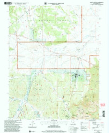
15 topographic sheets cover this place, the earliest surveyed in 1886 and the latest in 2002. It stands in the Tropic census division. It lies in ZIP code area 84764. It sits by Sunrise Point. The Survey maps it on the Bryce Canyon quadrangle. It stands 7,946 feet above sea level.
On record in Bryce Canyon
Buildings and businesses the archive holds for this place. Each opens its own page, with the source record it came from.
On the National Register 12 records
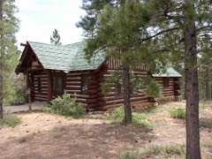 Administration Building, Oldlisted 1995
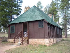 Bryce Canyon Lodge Historic District (Boundary Increase)listed 1995
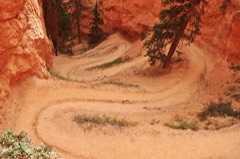 Bryce Canyon National Park Scenic Trails Historic Districtlisted 1995
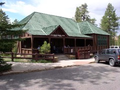 Bryce Innlisted 1995
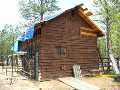 Horse Barnlisted 1995
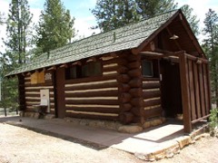 Loop C Comfort Stationlisted 1995
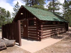 Loop D Comfort Stationlisted 1995
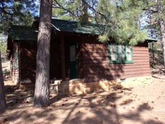 National Park Service Housing, Old, Historic Districtlisted 1995
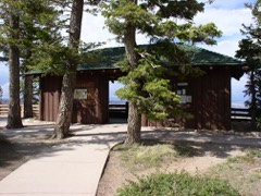 Rainbow Point Comfort Station and Overlook Shelterlisted 1995
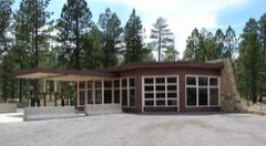 Utah Parks Company Service Stationlisted 1995
- Riggs Spring Fire Traillisted 1995
- Under-the-Rim Traillisted 1995
Surveyed buildings and structures 1 record
- Bryce Canyon Lodge, Bryce Canyonfederal building survey, 37 photographs
Topographic sheets covering this place
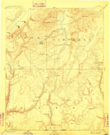
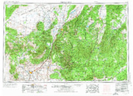
7 surveys from 15 printed sheetsMatched by testing this settlement's coordinate against the published boundary of every sheet in the United States Geological Survey's historical collection. Each opens the scanned sheet at the Survey.
- 1886 USGS Kanab quadrangle1:250000, 5 printings
- 1953 USGS Cedar City quadrangle1:250000, 3 printings
- 1958 USGS Cedar City quadrangle1:250000, 2 printings
- 1962 USGS Cedar City quadrangle1:250000
- 1966 USGS Bryce Canyon quadrangle1:24000
- 1980 USGS Panguitch quadrangle1:100000, 2 printings
- 2002 USGS Bryce Canyon quadrangle1:24000
Photographs
2 photographs, 1940Taken for the Office of War Information and the Farm Security Administration, who photographed the country between 1935 and 1944. Works of United States government photographers, with no known restriction on use. Each opens its catalogue record.
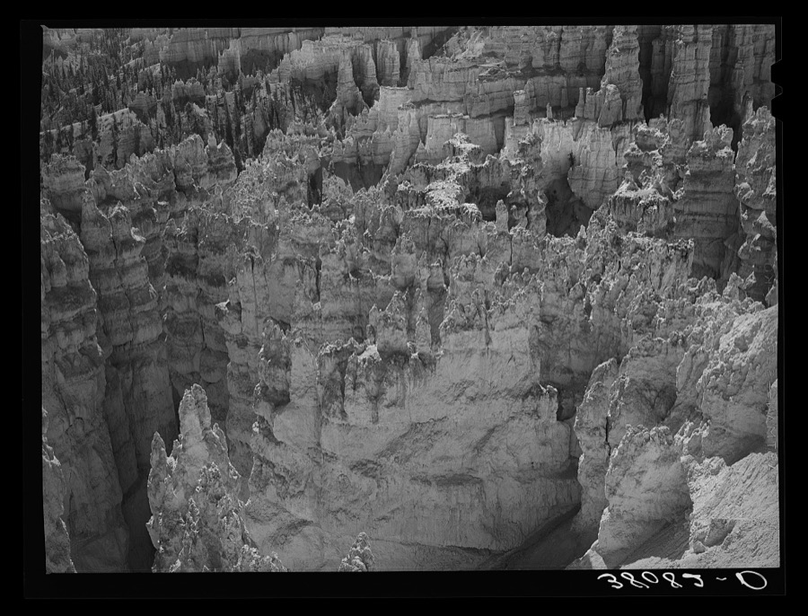
Lee, Russell, 1940. Library of Congress
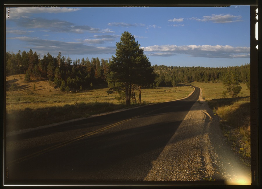
Photographer not recorded. Library of Congress
Fires near this place
117 since 1992Regional context, not property-specific evidence. The federal wildfire occurrence database lists 117 fires within 5 miles of Bryce Canyon between 1992 and 2020, burning about 309 acres in total. 72 started naturally. 1 was recorded as arson. Distance is straight-line from the map coordinates, so a fire counted here may appear on a neighbouring settlement's page as well.
| Reported cause | Fires |
|---|---|
| Natural | 72 |
| Recreation and ceremony | 20 |
| Missing data/not specified/undetermined | 11 |
| Debris and open burning | 6 |
| Smoking | 4 |
| Equipment and vehicle use | 2 |
| Fireworks | 1 |
| Arson/incendiarism | 1 |
The most recent of them, most recent first, with the day each was reported and the service that recorded it.
| Date | Cause | Size | Reported by | Name on the report |
|---|---|---|---|---|
| 8 September 1998 | Natural | under an acre | Bryce Canyon National Park | DUMP |
| 7 September 2003 | Natural | under an acre | Bryce Canyon National Park | PARIA |
| 6 September 1994 | Natural | under an acre | Bryce Canyon National Park | RAINY DAY |
| 4 September 2005 | Recreation and ceremony | under an acre | Cedar City Field Office | MERYLS BNC |
| 3 September 2002 | Natural | under an acre | Cedar City Field Office | BULLDOG HO |
| 3 September 2002 | Natural | under an acre | Bryce Canyon National Park | MERRILL |
| 3 September 2002 | Natural | under an acre | Bryce Canyon National Park | SUNRISE |
| 3 September 2002 | Natural | under an acre | Bryce Canyon National Park | BRYCE CR |
Settlements close enough to share some of these fires:
Mines and quarries near this place
10 of 14 shownRegional context, not property-specific evidence. The federal mineral resources record lists 14 workings within 5 miles of Bryce Canyon: 13 past producers, 1 producer. 1 still produces. What was taken out: Sand and Gravel, Construction. Distance is straight-line from the map coordinates, so a quarry counted here may appear on a neighbouring settlement's page as well.
| Where | Site | Commodity | Status | Recorded |
|---|---|---|---|---|
| Airport Borrow Pit #2 | Sand and Gravel, Construction | Past Producer | Gravel | |
| Airport Borrow Pit #3 | Sand and Gravel, Construction | Past Producer | Gravel, Sand | |
| Airport Borrow Pit No 2 | Sand and Gravel, Construction | Past Producer | ||
| Airport Borrow Pit No 3 | Sand and Gravel, Construction | Past Producer | ||
| Airport Borrow Pit No 4 | Sand and Gravel, Construction | Past Producer | ||
| Airport Borrow Pits #4 | Sand and Gravel, Construction | Past Producer | Gravel, Sand | |
| Emory Valley Borrow Pit No 1 | Sand and Gravel, Construction | Producer | ||
| Emory Valley Borrow Pits #1 | Sand and Gravel, Construction | Past Producer | Gravel, Sand | |
| Utah Dept Highways Pit No 09022 | Sand and Gravel, Construction | Past Producer | ||
| Utah Dept Highways Pit No 09027 | Sand and Gravel, Construction | Past Producer |
Storms near this place
5 since 2000Regional context, not property-specific evidence. The National Weather Service names Bryce Canyon in 5 storm reports between 2000 and 2023: 2 lightning, 1 thunderstorm wind, 1 hail, 1 flash flood. The reports record 1 death and 1 injury. Each account below is quoted exactly as the forecast office filed it, from the NOAA Storm Events Database, and each date opens the federal record of that event.
| When | Event | Place named | Harm | What the report says |
|---|---|---|---|---|
| August 2011 | Lightning | Bryce Canyon | 1 killed | A 51-year-old German tourist in Bryce Canyon National Park was hiking with his family along the Rim Trail near Sunset Point, when an isolated thunderstorm moved into the area. Most of the family ran toward their car, but the man sought refuge under a large Ponderosa Pine. A bolt of lightning stuck the tree, with some of the energy being transferred to the man, and he died at the scene. |
| August 2000 | Lightning | Bryce Canyon | 1 hurt | A 47-year-old male British tourist was struck by lightning while standing under a tree a Bryce Canyon National Park. The man suffered head injuries and superficial burns. He was flown to LDS Hospital in Salt Lake City where he was in critical condition. He later recovered from his injuries. |
| September 2023 | Flash Flood | Bryce Canyon | $1,000 | Bryce Canyon National Park Rangers reported rock slides and deep mud along the Navajo Loop trail as a result of heavy rain in the area. This resulted in damage to retaining walls along the trail, and as such, the temporary closure of the trail. |
| July 2021 | Hail | Bryce Canyon | - | An observer in Bryce Canyon National Park reported hail up to 1.5 inches in diameter. |
| May 2015 | Thunderstorm Wind | Bryce Canyon | - | The Bryce Canyon RAWS reported a peak wind gust of 67 mph. |
Nearest settlements
The eight closest, with where each one stands in the county. Distances are straight-line, computed from the Geographic Names Information System coordinates.
| Map | Place | Distance | Sheets |
|---|---|---|---|
| Bryce Canyon City | 3.2 miles | 15 | |
| Tropic | 4.5 miles | 15 | |
| Cannonville | 7.4 miles | 16 | |
| Henrieville | 10.2 miles | 15 | |
| Hillsdale | 13.0 miles | 16 | |
| Hatch | 14.2 miles | 16 | |
| Widtsoe Junction | 16.5 miles | 14 | |
| Widtsoe | 16.8 miles | 16 |
Elsewhere
Matched on this settlement's Geographic Names Information System number rather than its name, so it cannot be a different place of the same name in another state.
| Wikidata item Q105105819 | The structured record the population and elevation above come from. Public domain (CC0). |
Provenance
This settlement is recorded in the Geographic Names Information System as feature 1439206. The sheet list is computed by point-in-boundary test against the United States Geological Survey's historical topographic inventory. Both are works of the United States government and carry no copyright under 17 U.S.C. 105.
Wildfire. Short, Karen C. 2022. Spatial wildfire occurrence data for the United States, 1992-2020 [FPA_FOD_20221014]. 6th Edition. Fort Collins, CO: Forest Service Research Data Archive. https://doi.org/10.2737/RDS-2013-0009.6 Collected with United States Government funding and usable without additional permissions or fees.
Mines and quarries. USGS Mineral Resources Data System (MRDS) https://mrdata.usgs.gov/mrds/ A work of the United States government, no copyright under 17 U.S.C. 105.
Storms. NOAA National Centers for Environmental Information, Storm Events Database https://www.ncei.noaa.gov/stormevents/ A work of the United States government, no copyright under 17 U.S.C. 105. Narratives are quoted verbatim from the National Weather Service report and are not edited or summarised.