Block
From the record
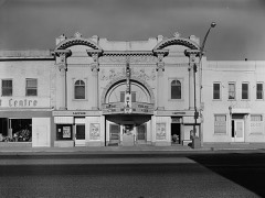
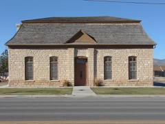
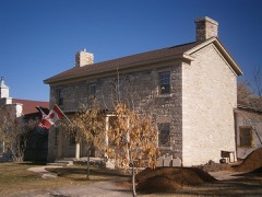
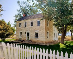
83 National Register listings published here.
Sources: the National Register database, National Park Service
60 topographic sheets and 20 fire insurance atlases across 7 places.
83 National Register listings published here.
Sources: the National Register database, National Park Service
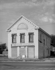
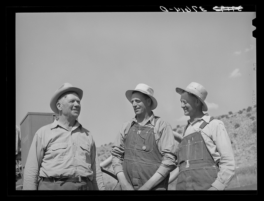
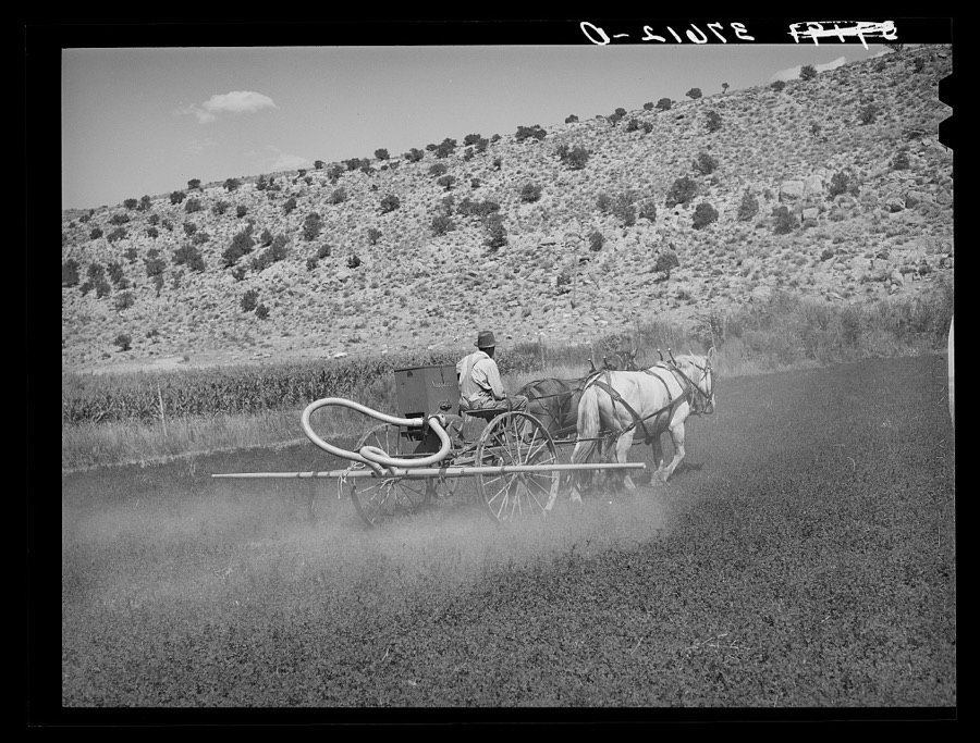
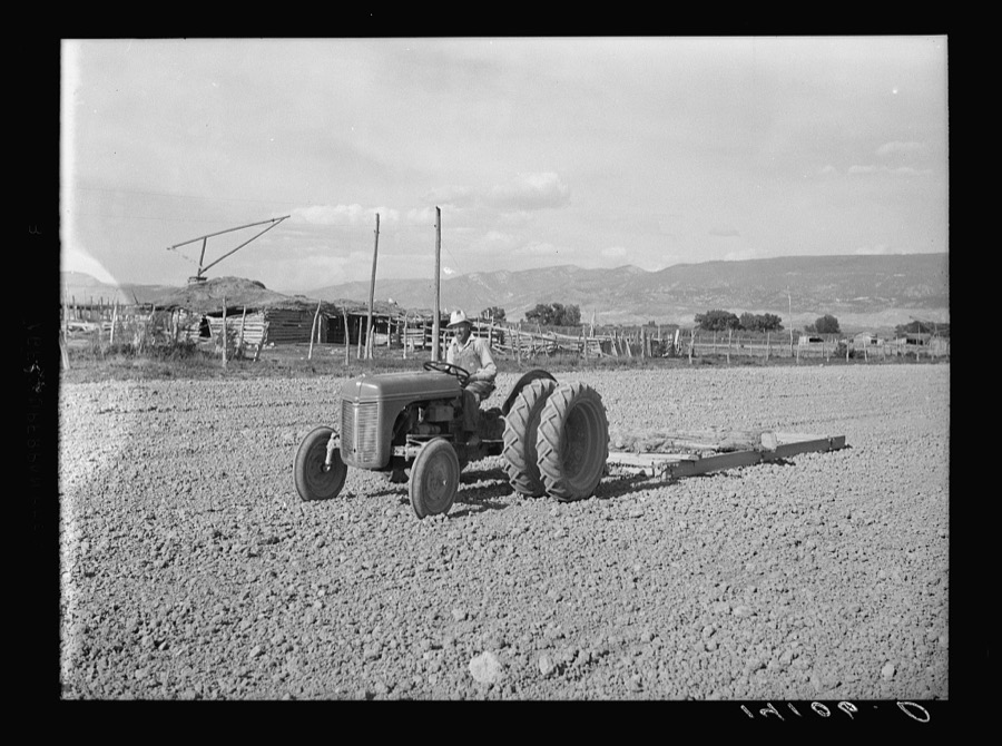
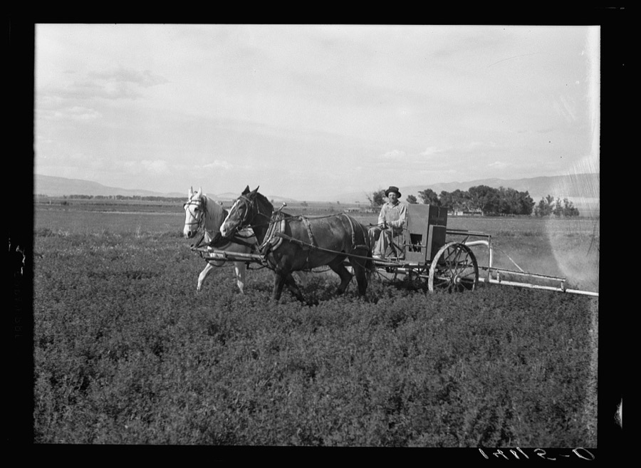
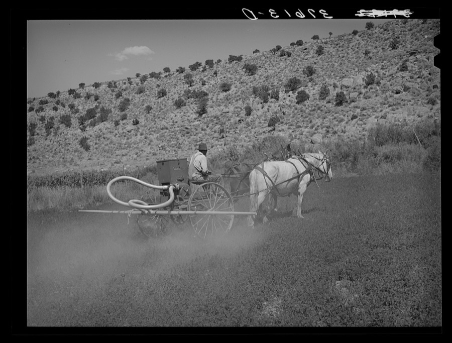
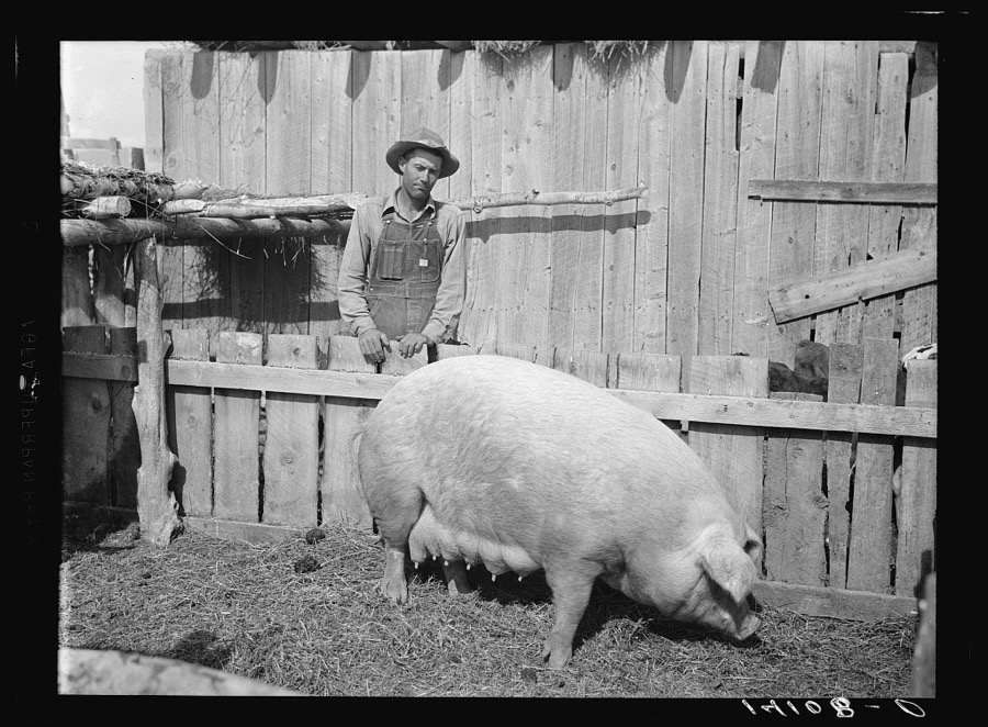
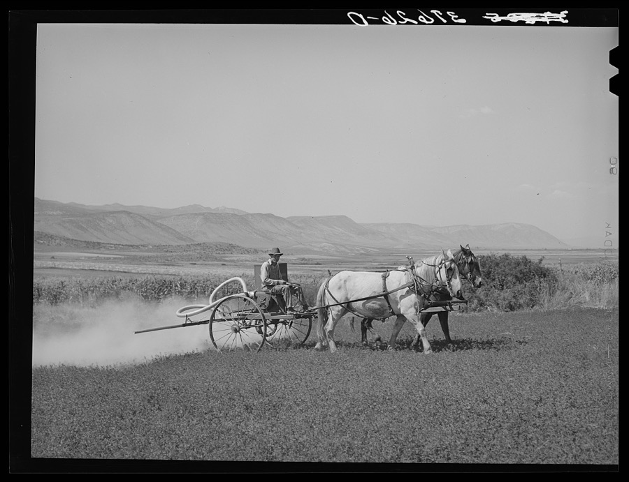
Taken for the Office of War Information and the Farm Security Administration, who photographed the country between 1935 and 1944. Works of United States government photographers, with no known restriction on use. Each opens its catalogue record.
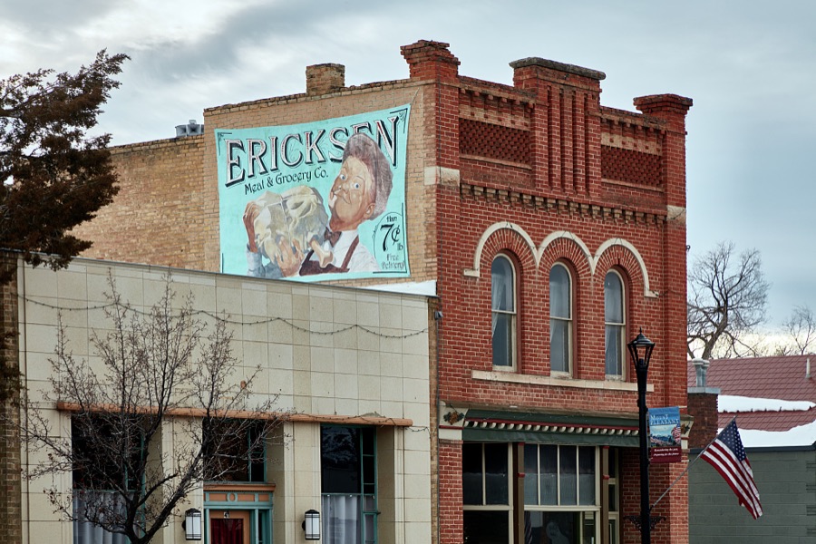
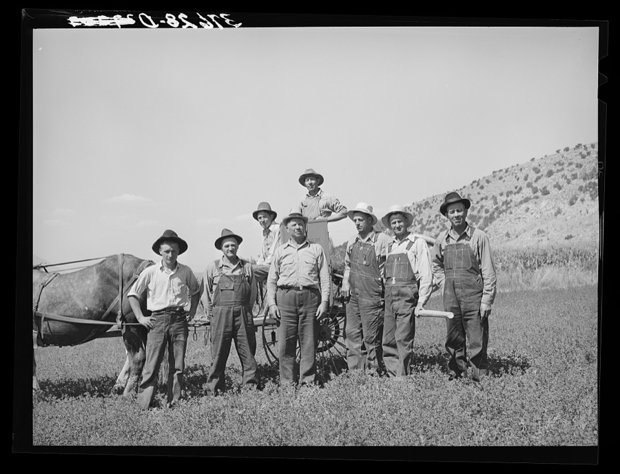
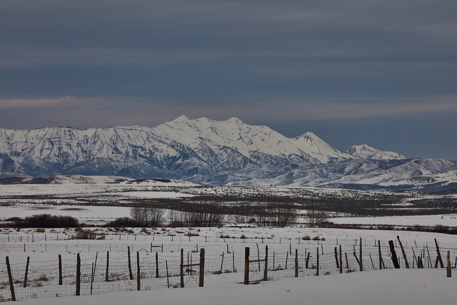
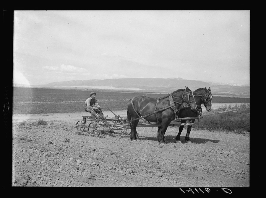
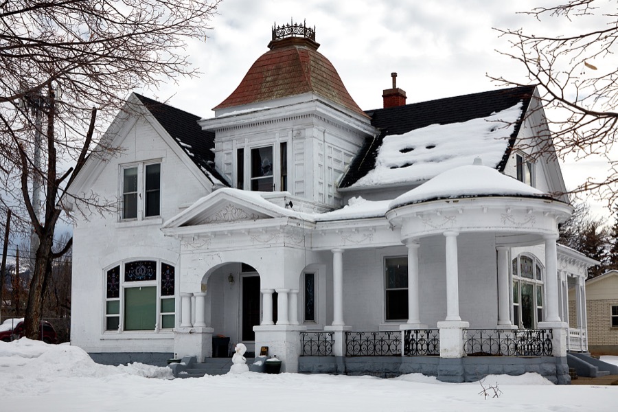
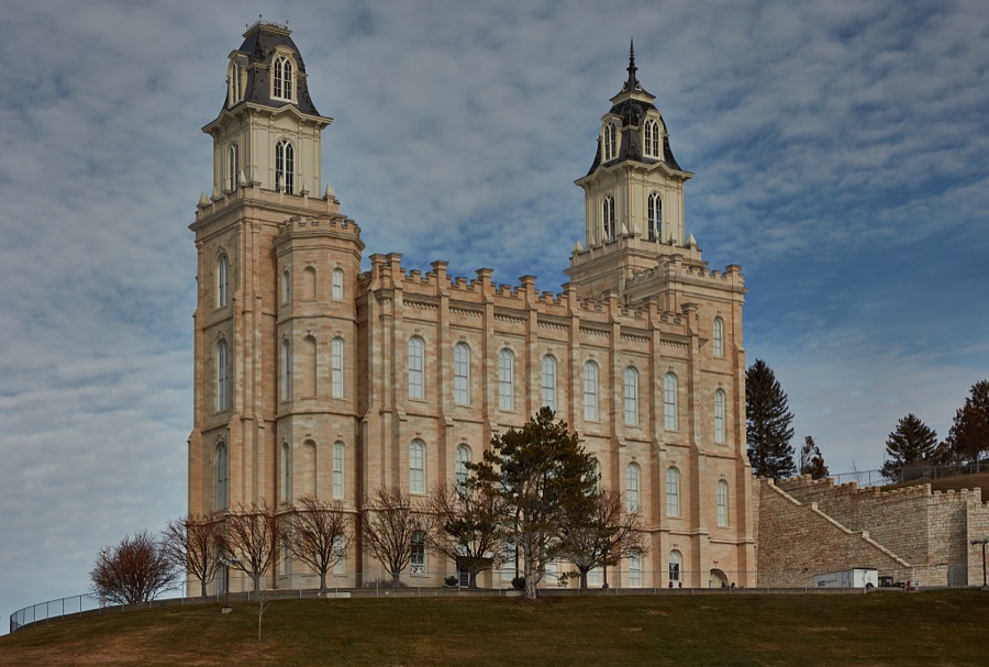
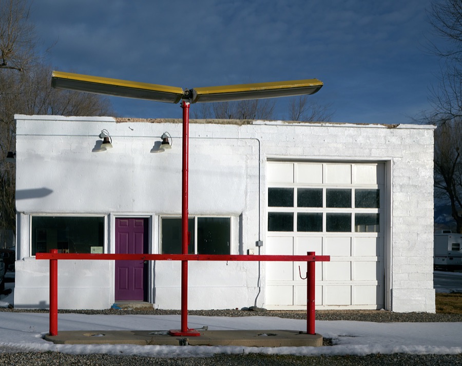
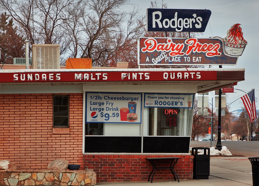
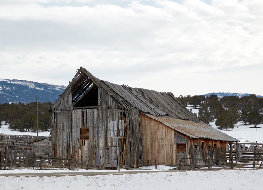
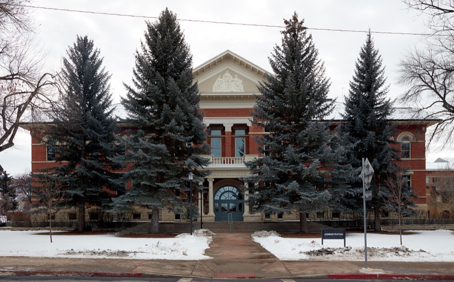
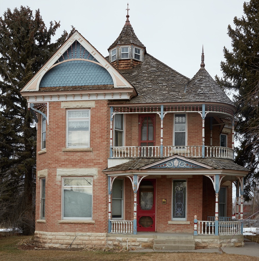
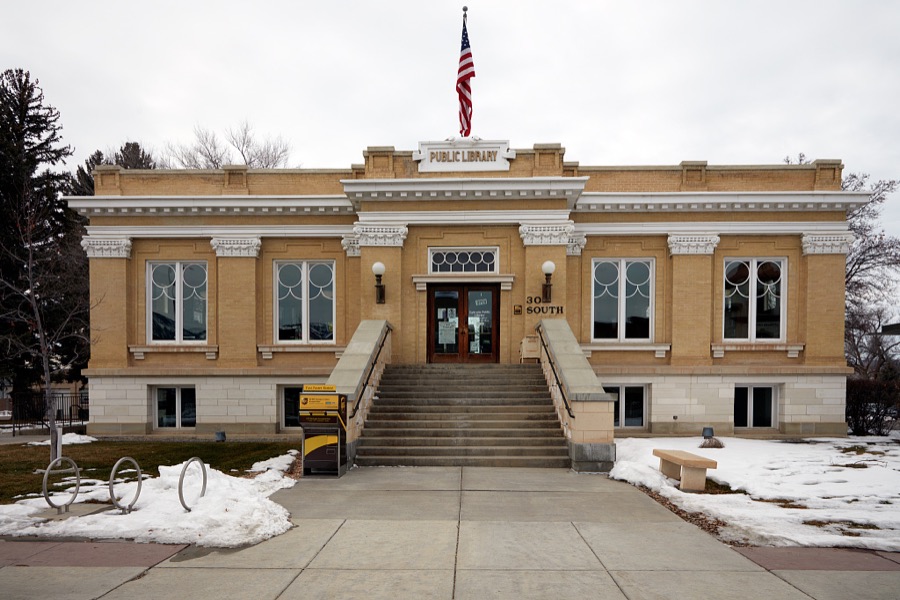
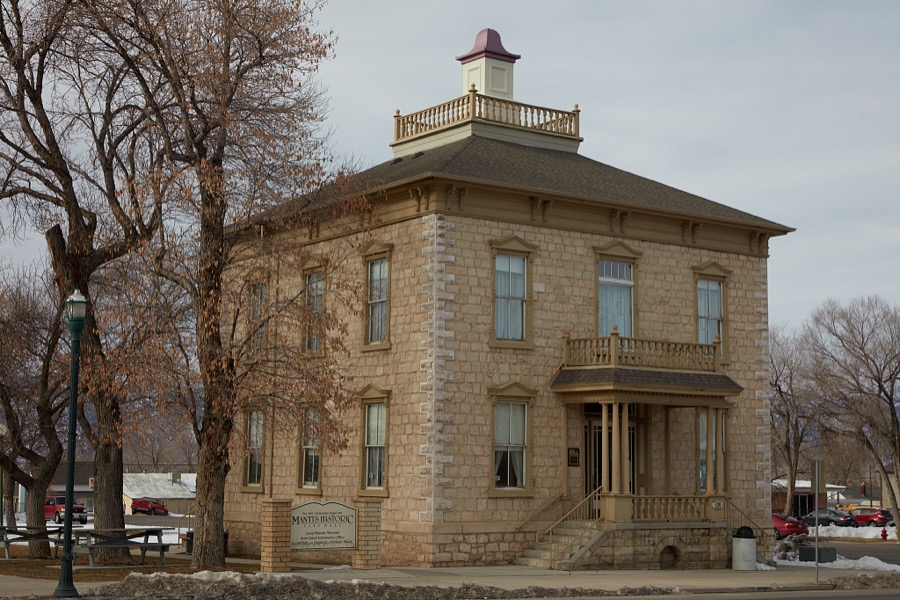

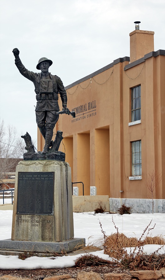
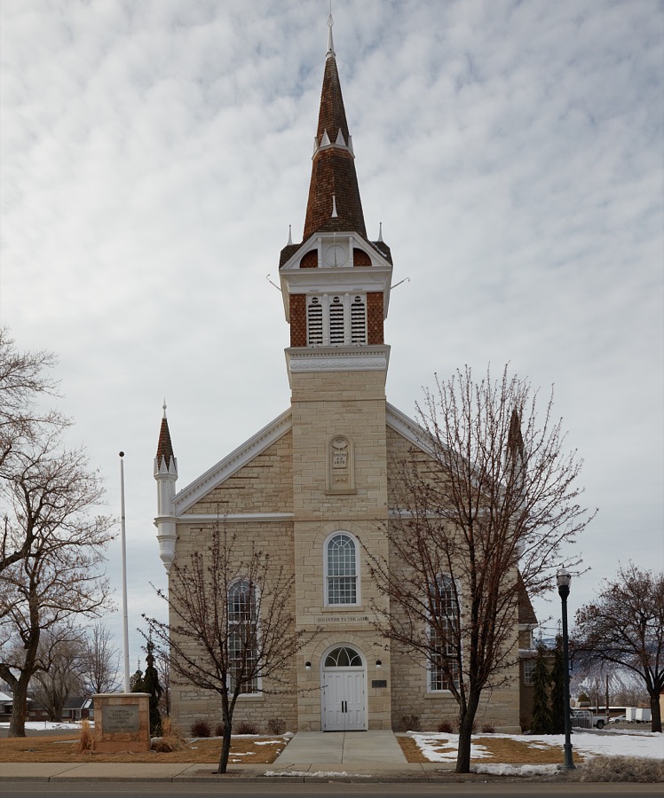
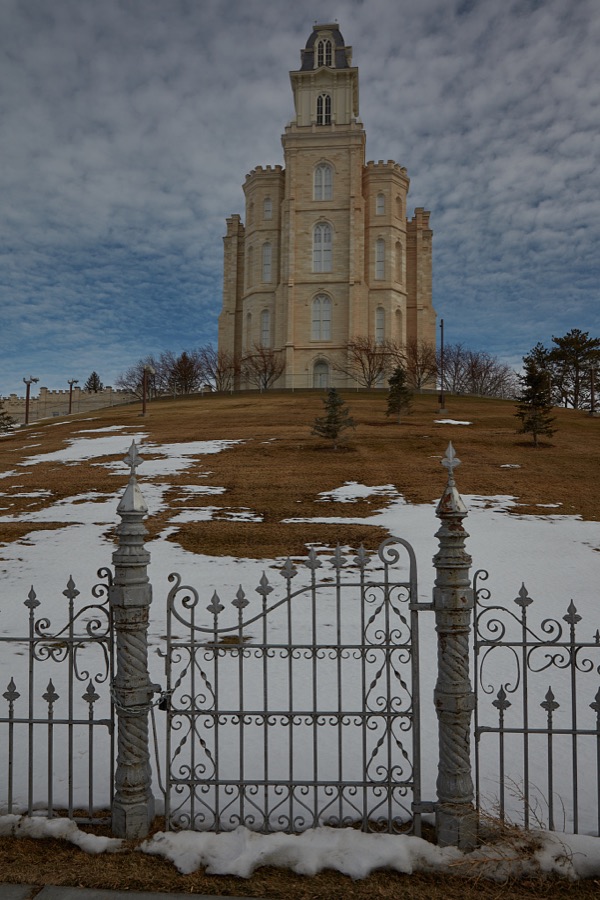

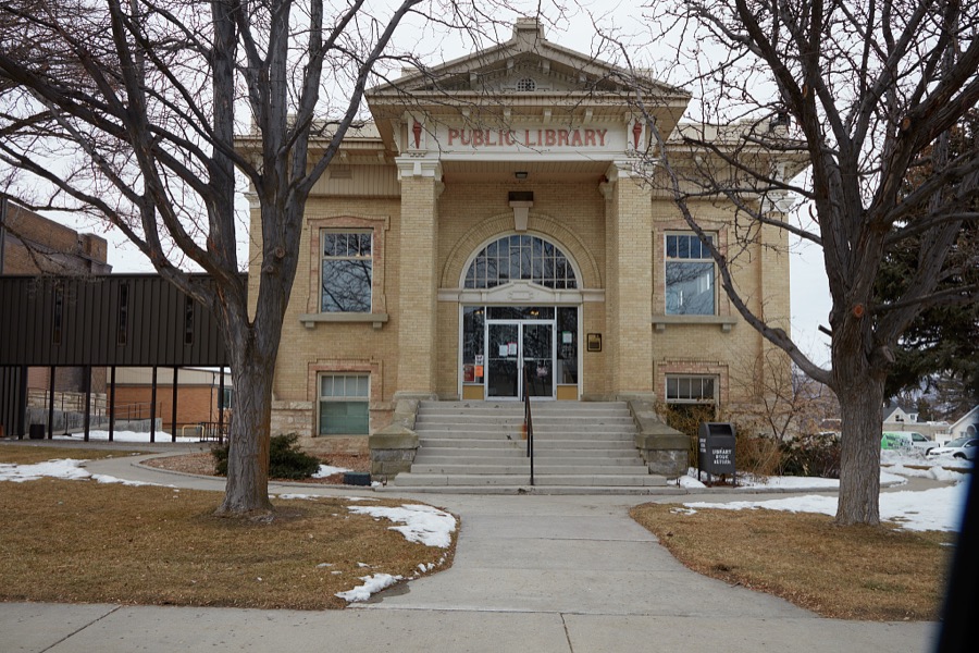
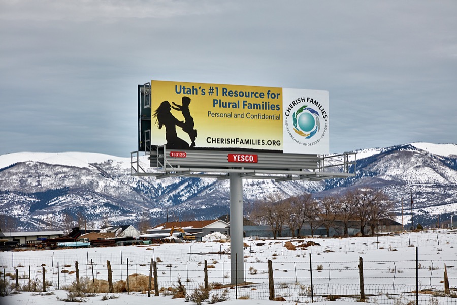
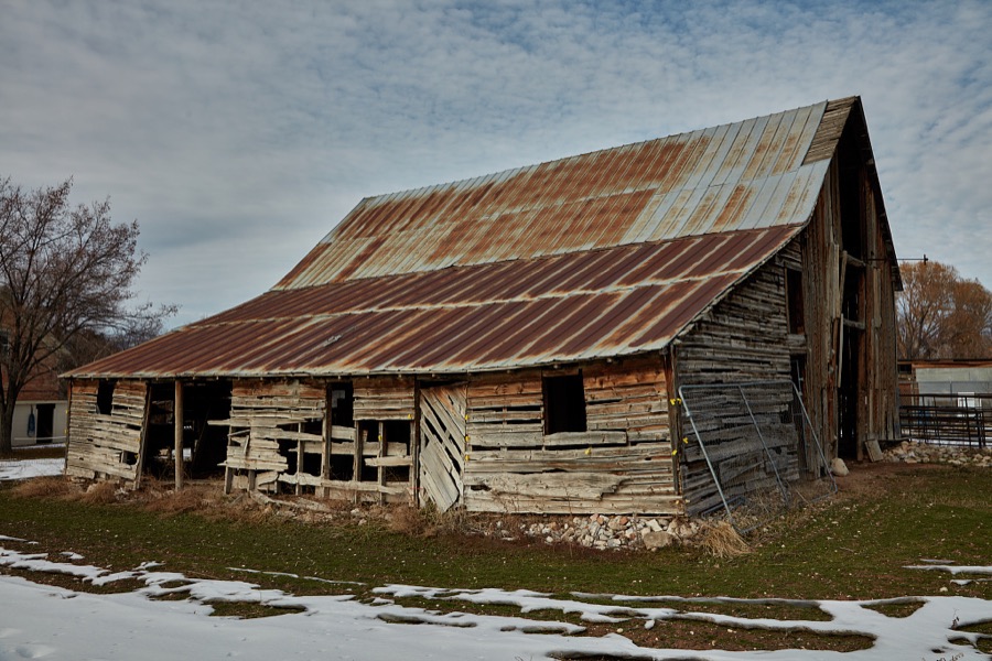
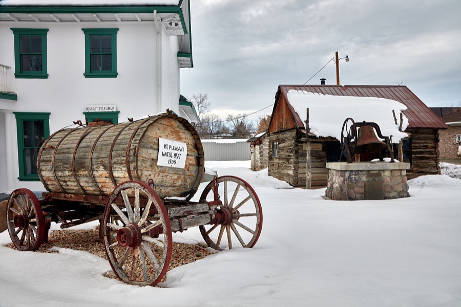
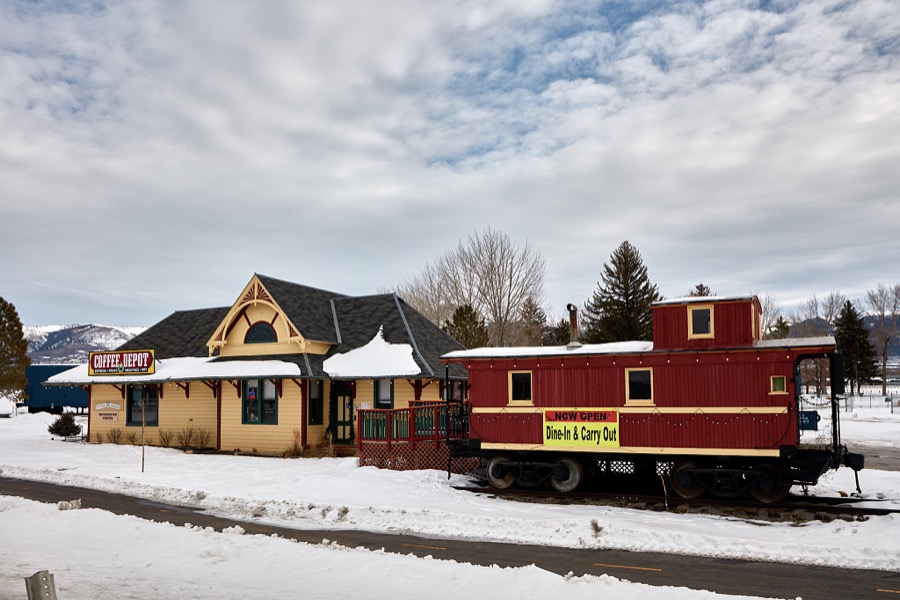
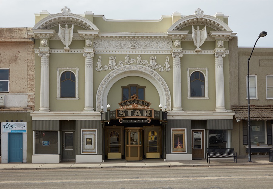
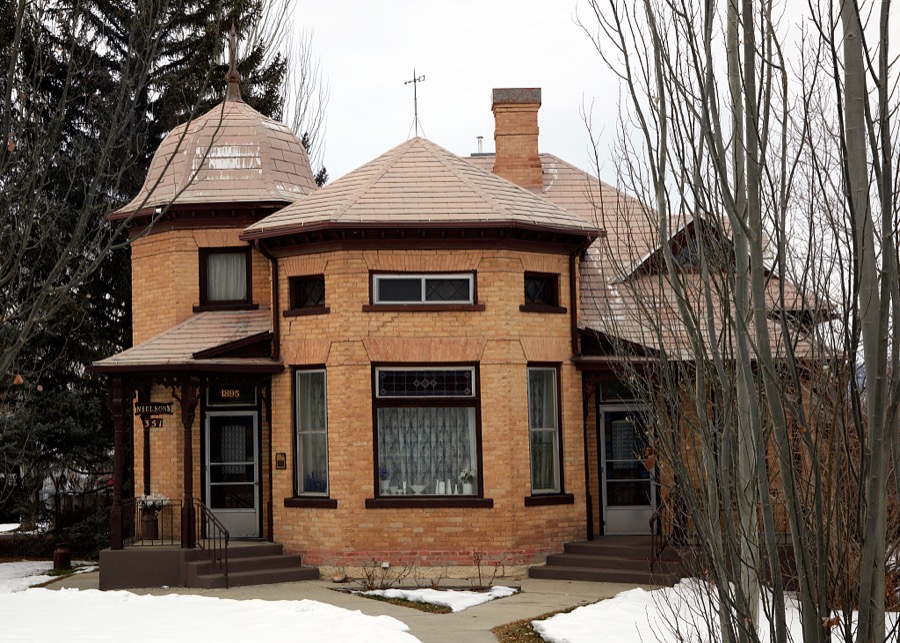
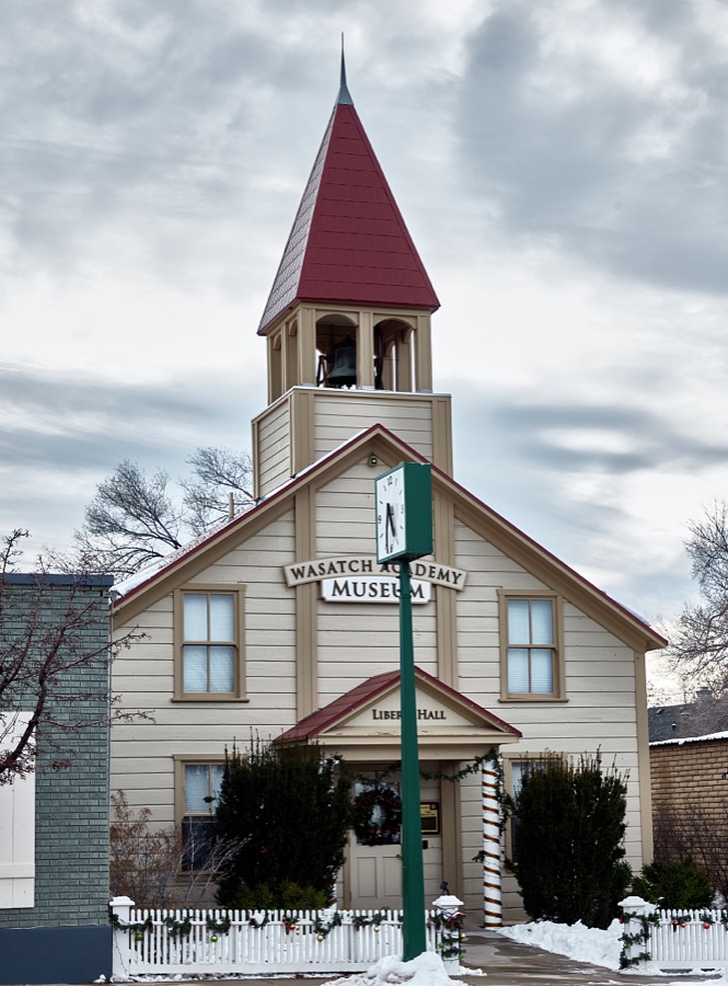
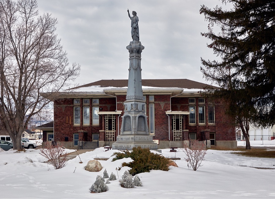

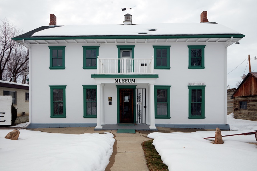
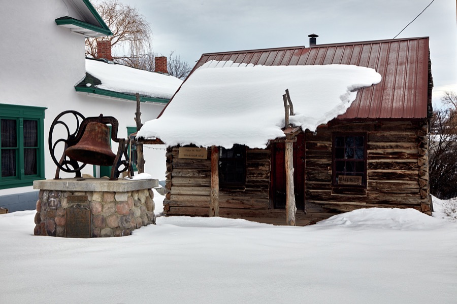
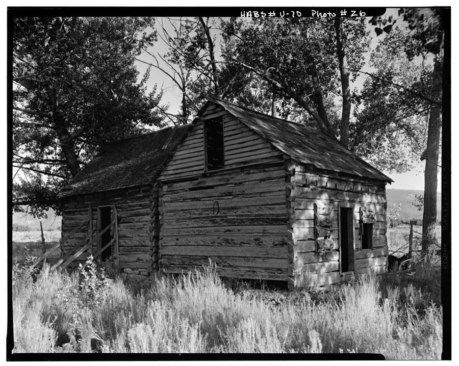
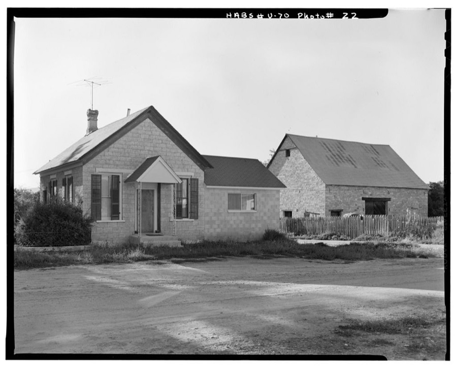
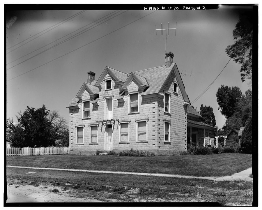
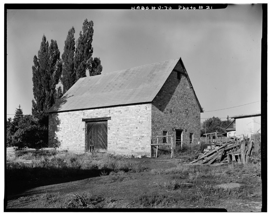
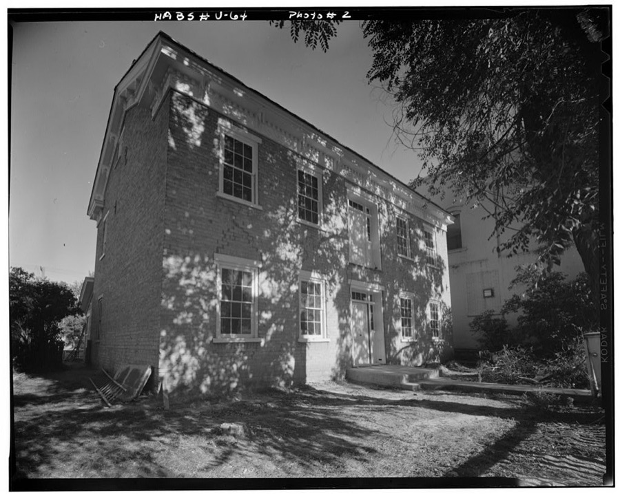
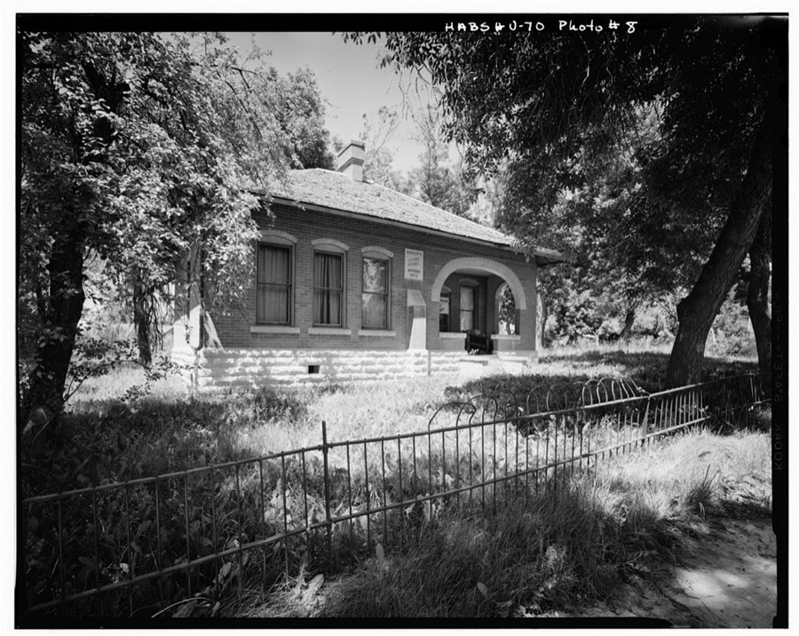
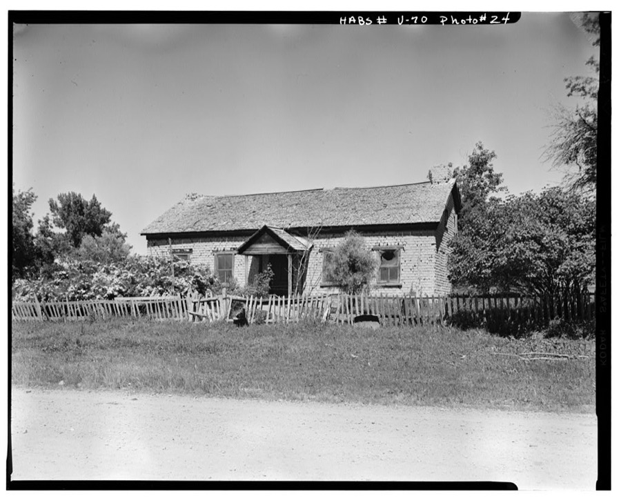
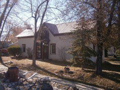
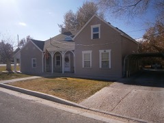
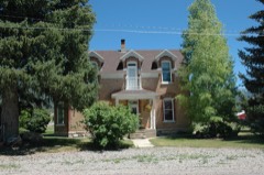
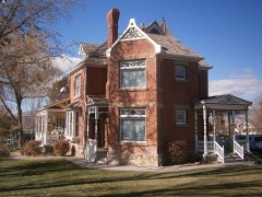
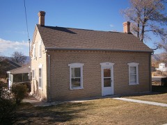
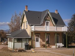
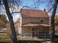
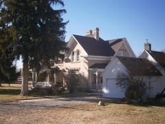
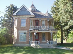
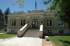
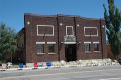
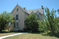
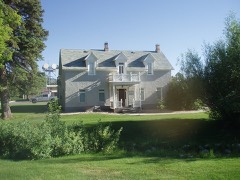
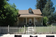
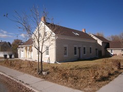
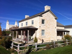
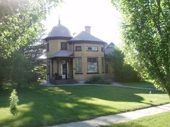
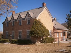
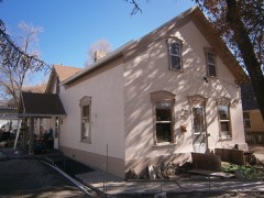
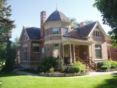
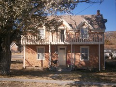
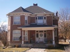
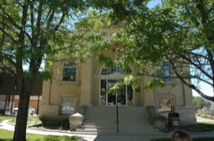
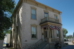
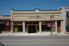
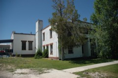
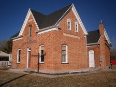
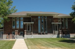
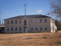
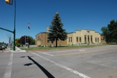
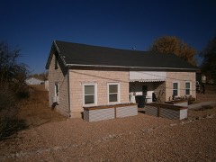
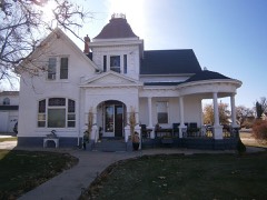
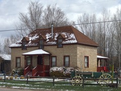
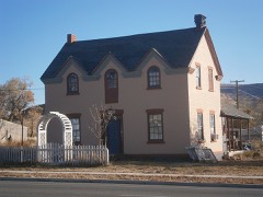
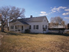
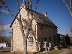
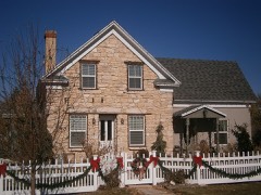
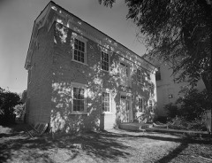
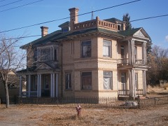
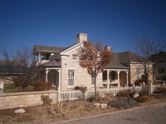
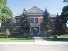
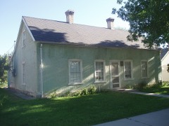
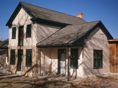
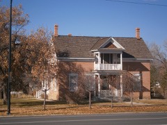
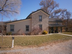
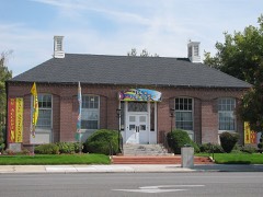
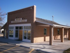
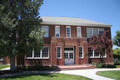
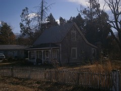
Every property in this county listed on the National Register of Historic Places, with the year it was listed and the federal nomination document.
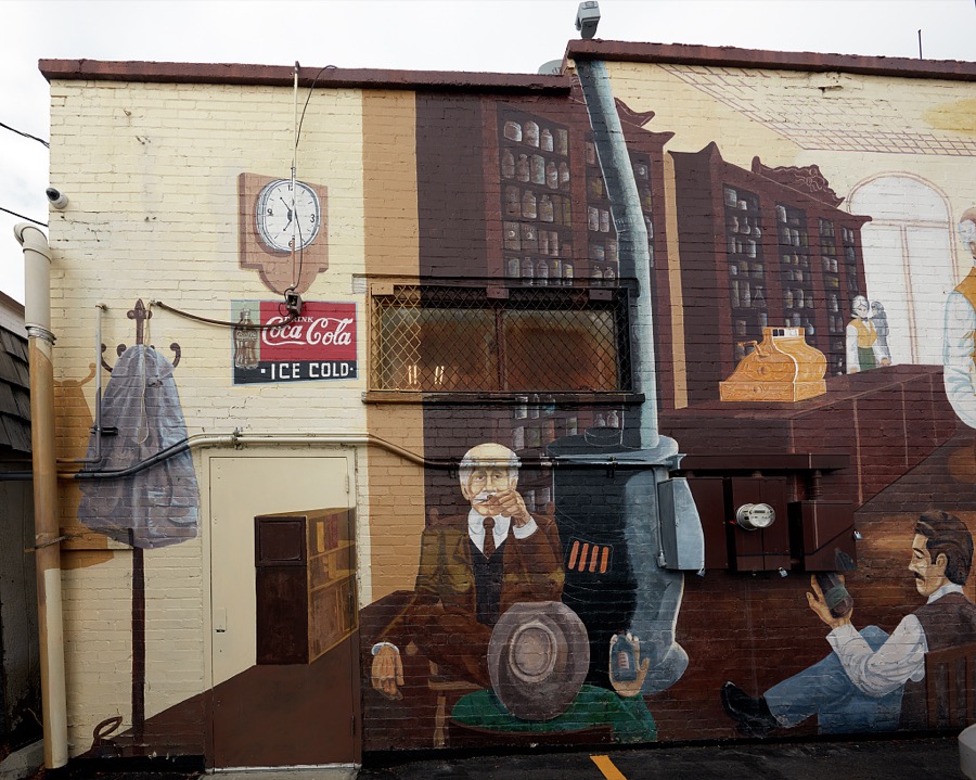
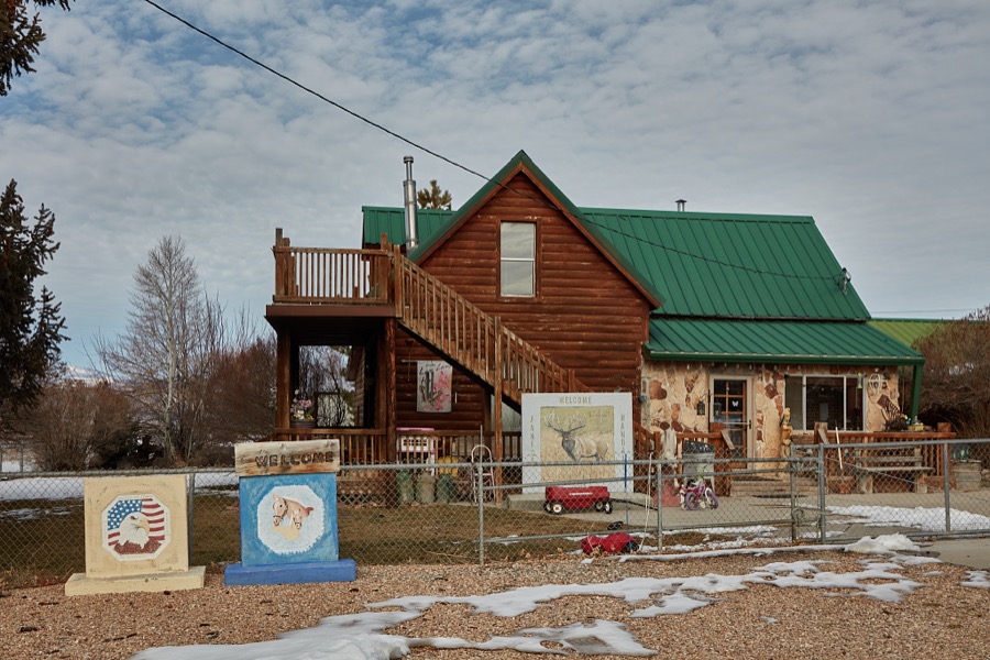
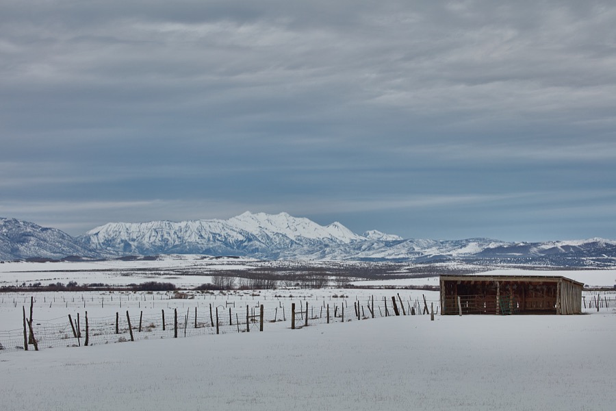
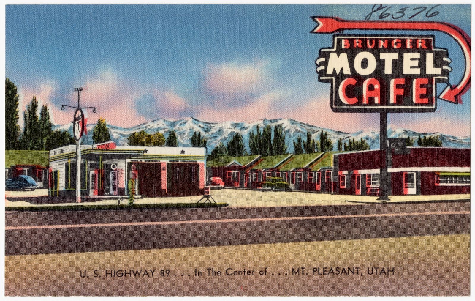
Selected from the Digital Public Library of America's 7 image records catalogued for this county. Every one shown here carries a public-domain status or a licence that permits reuse on a site that carries advertising; non-commercial, share-alike and restricted images are excluded. The selection is spread across the county's towns (at most eight per town), so no single institution's bulk upload crowds out the rest. Each opens the holding library's record, and the complete set at the Digital Public Library of America is one click away.
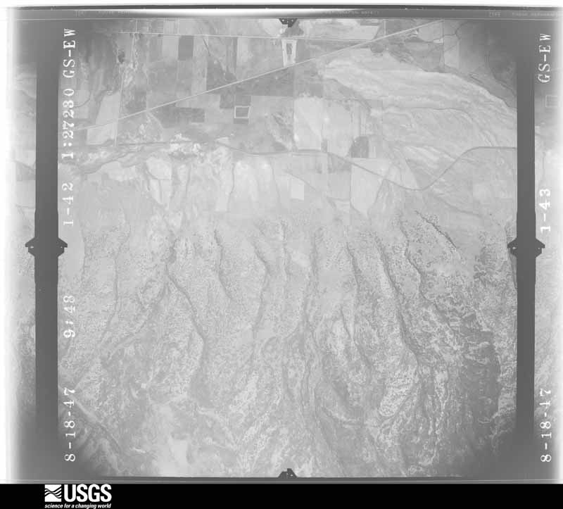
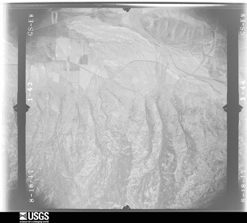
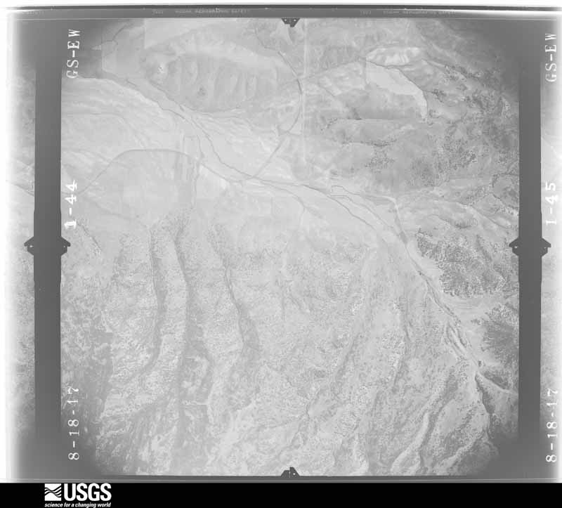
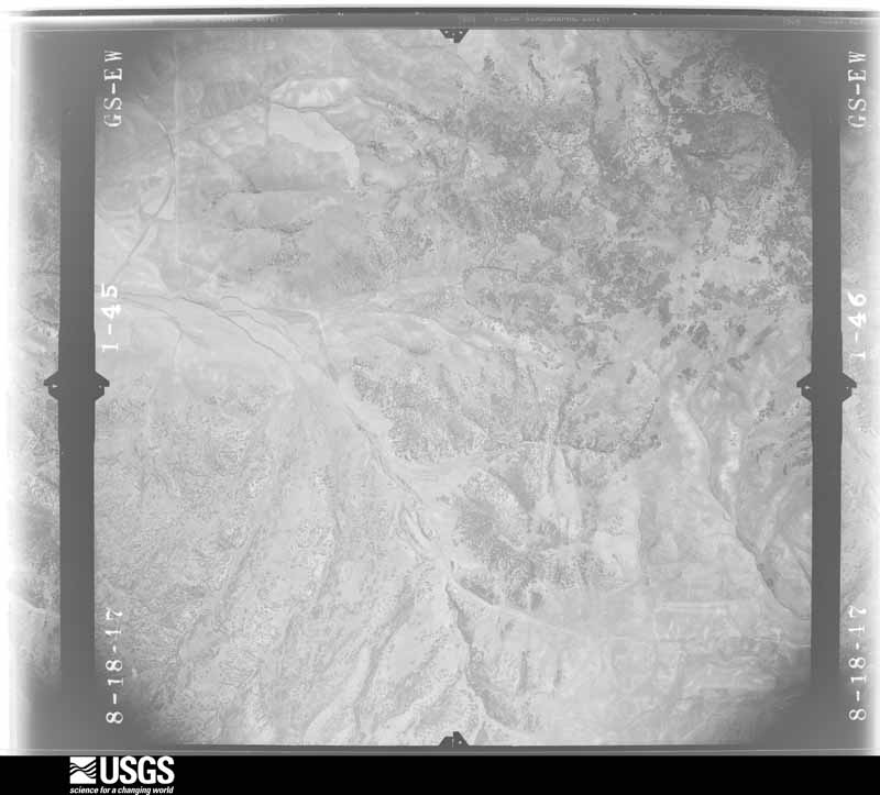
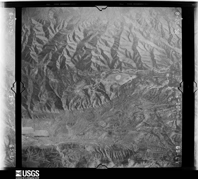
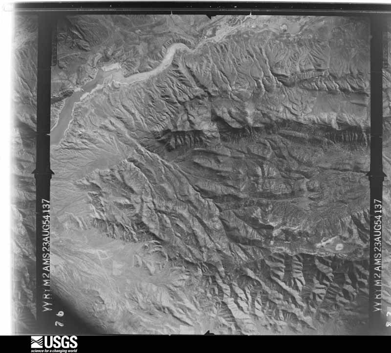
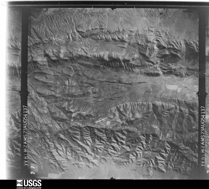
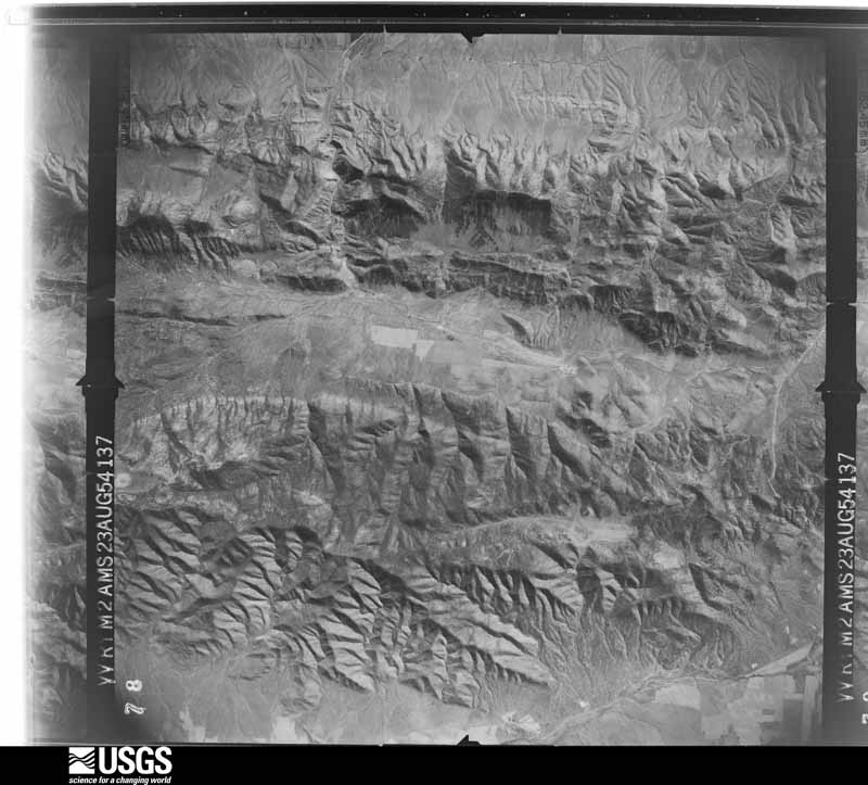
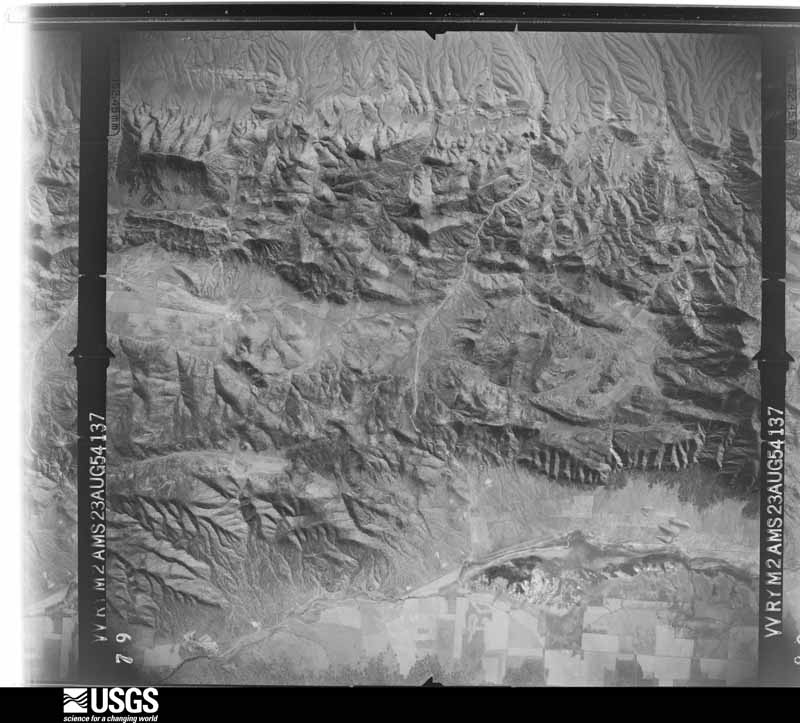
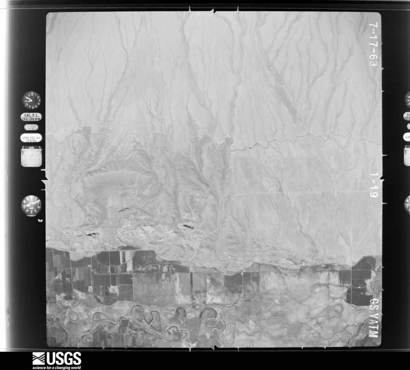
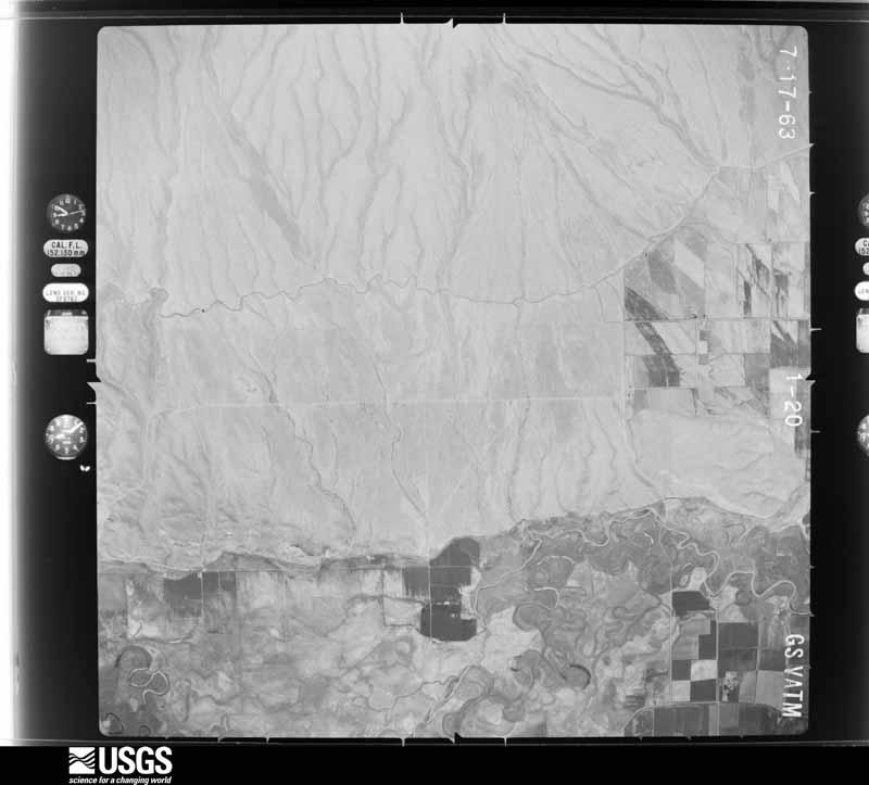
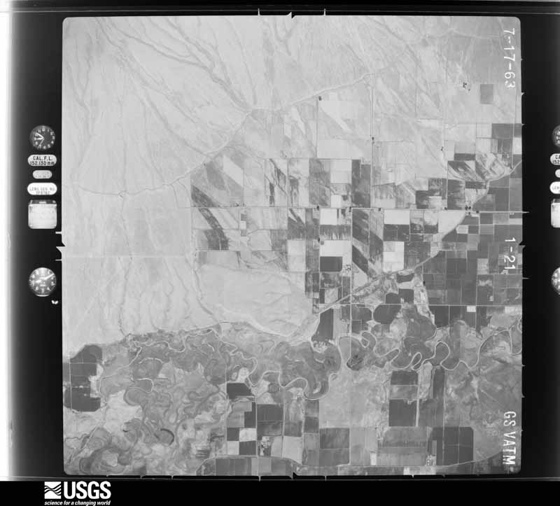
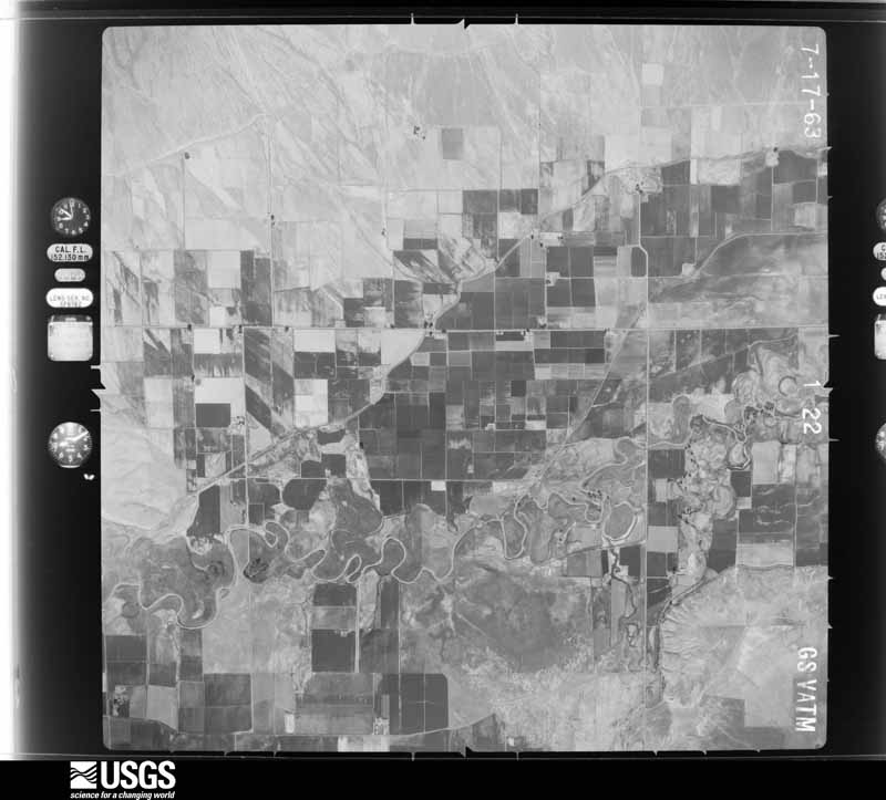
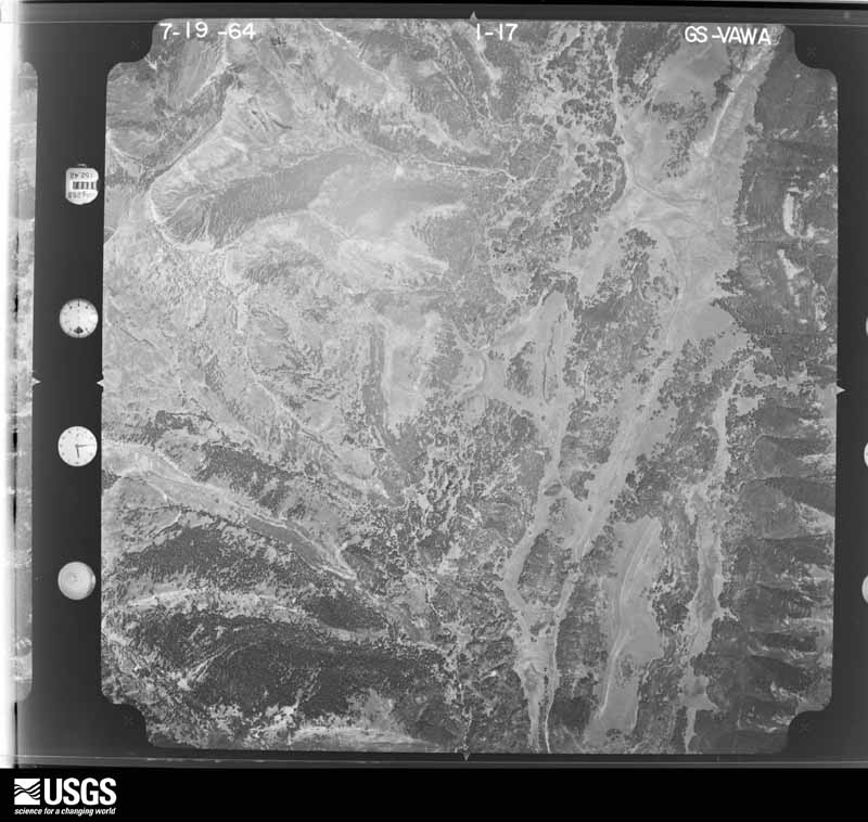
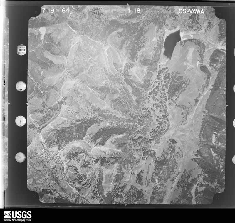
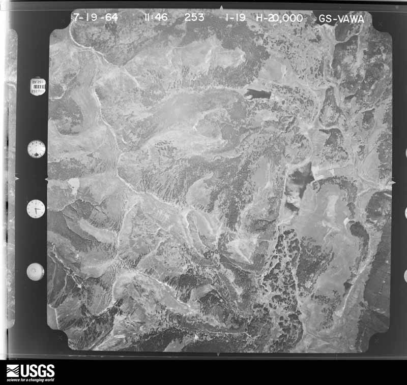
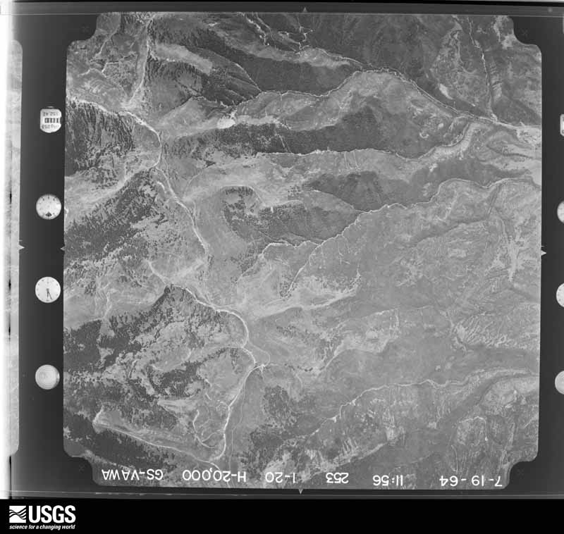
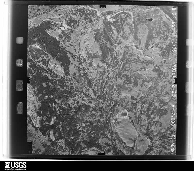
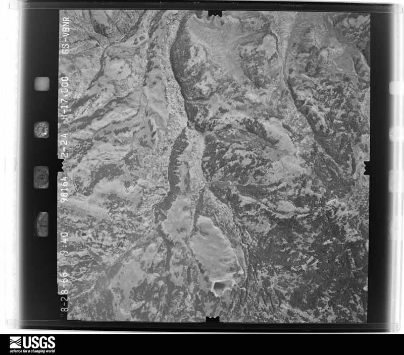
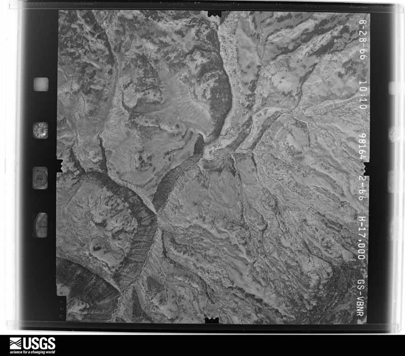
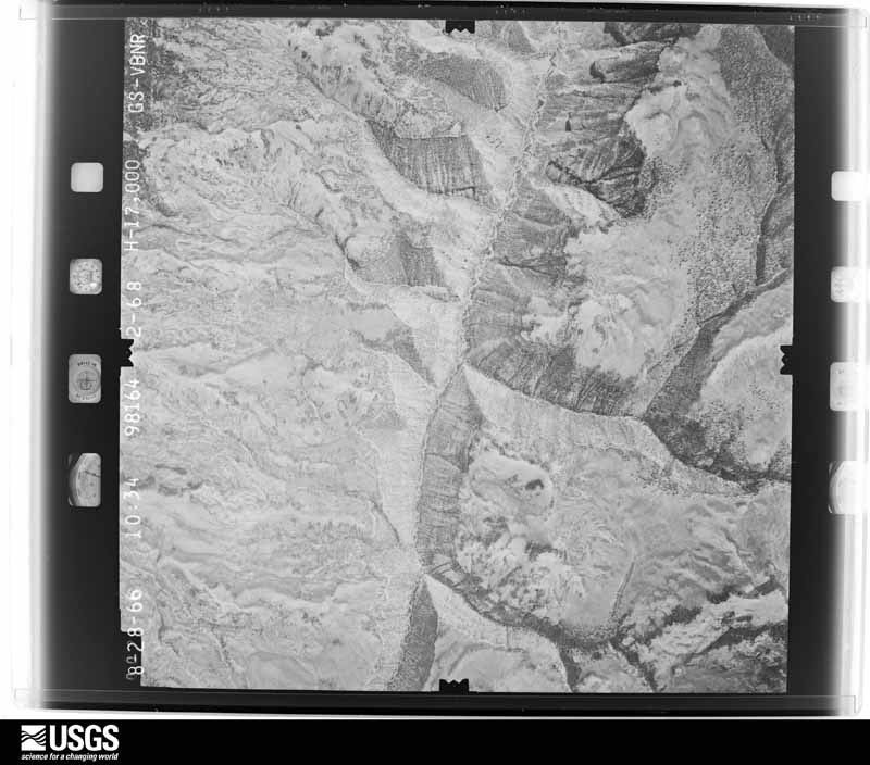
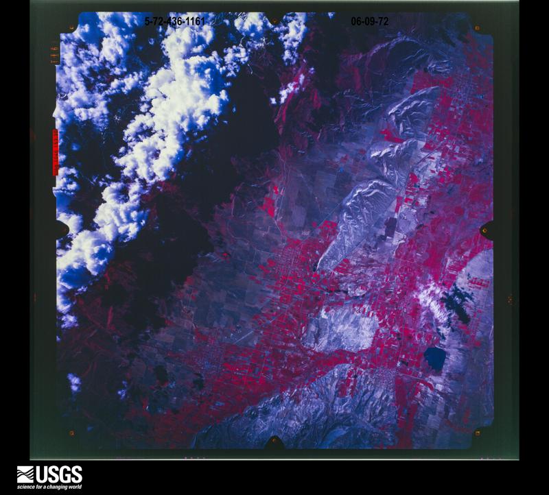
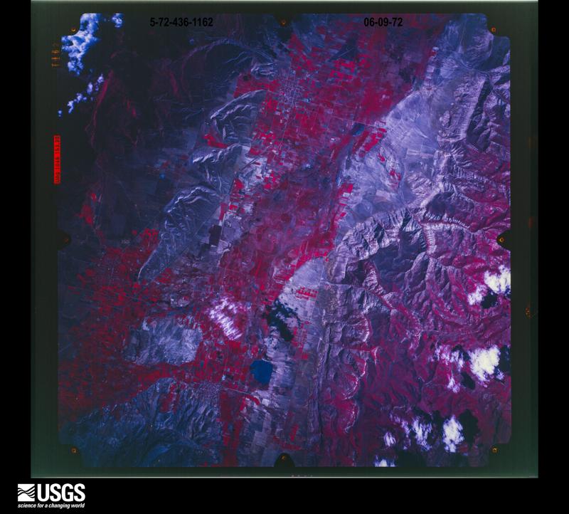
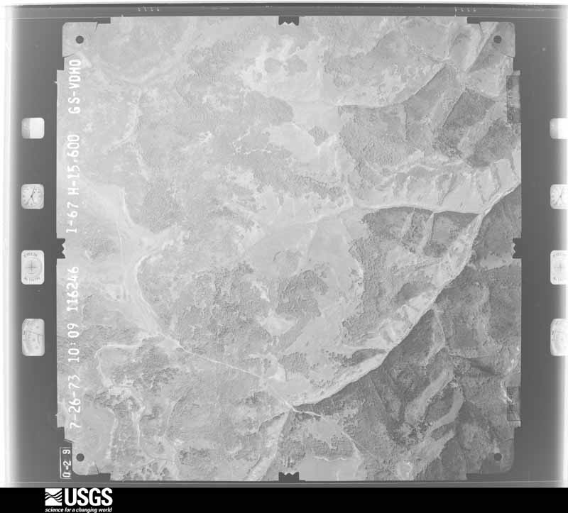
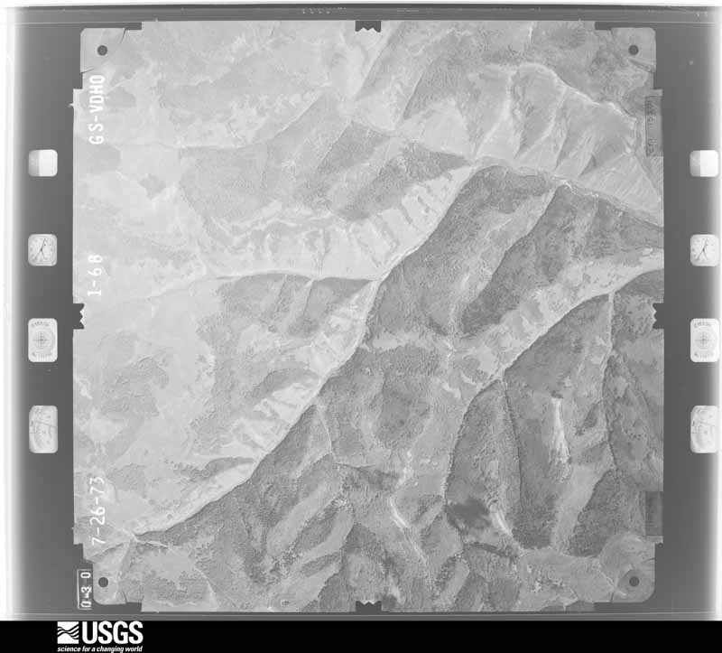
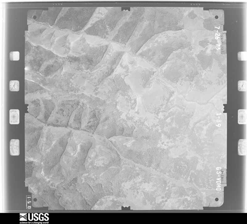
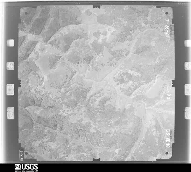
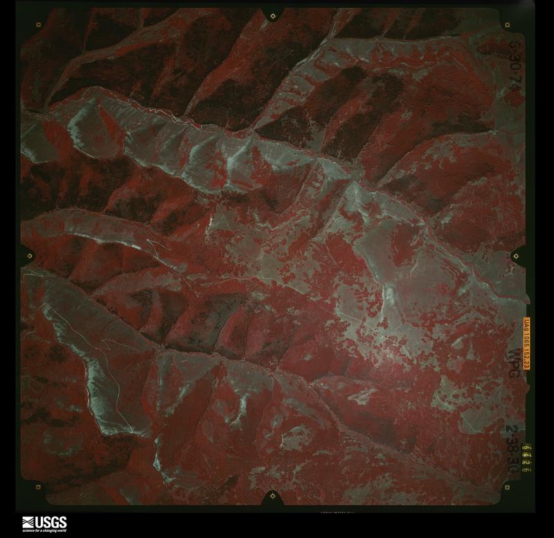
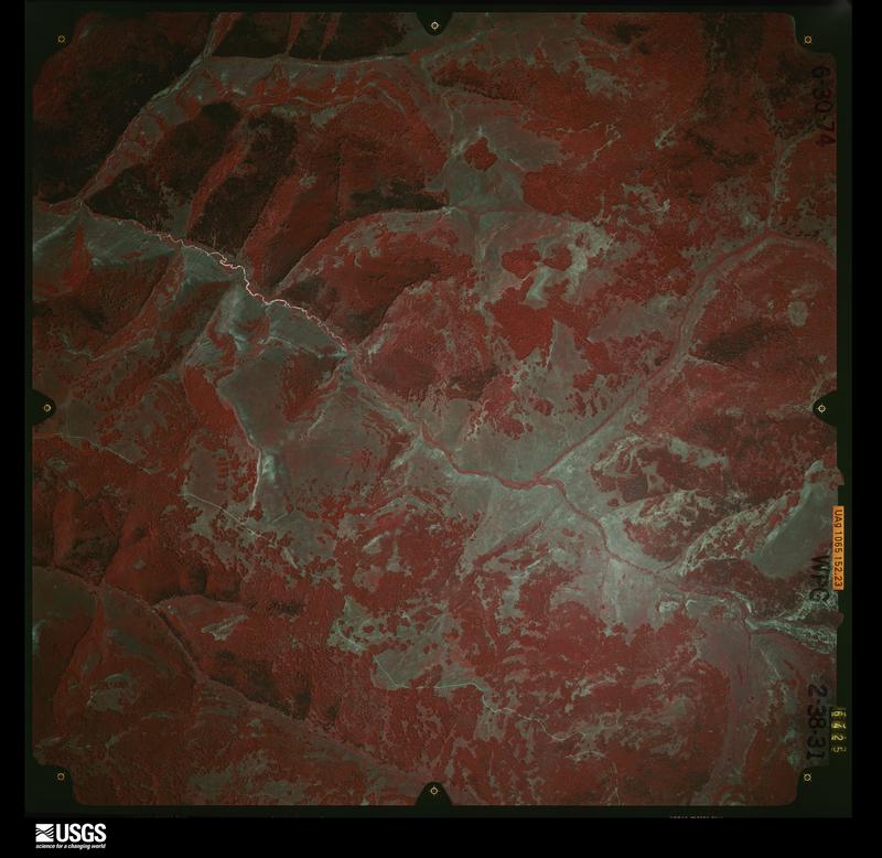
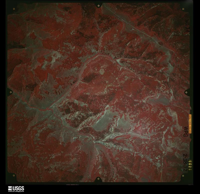
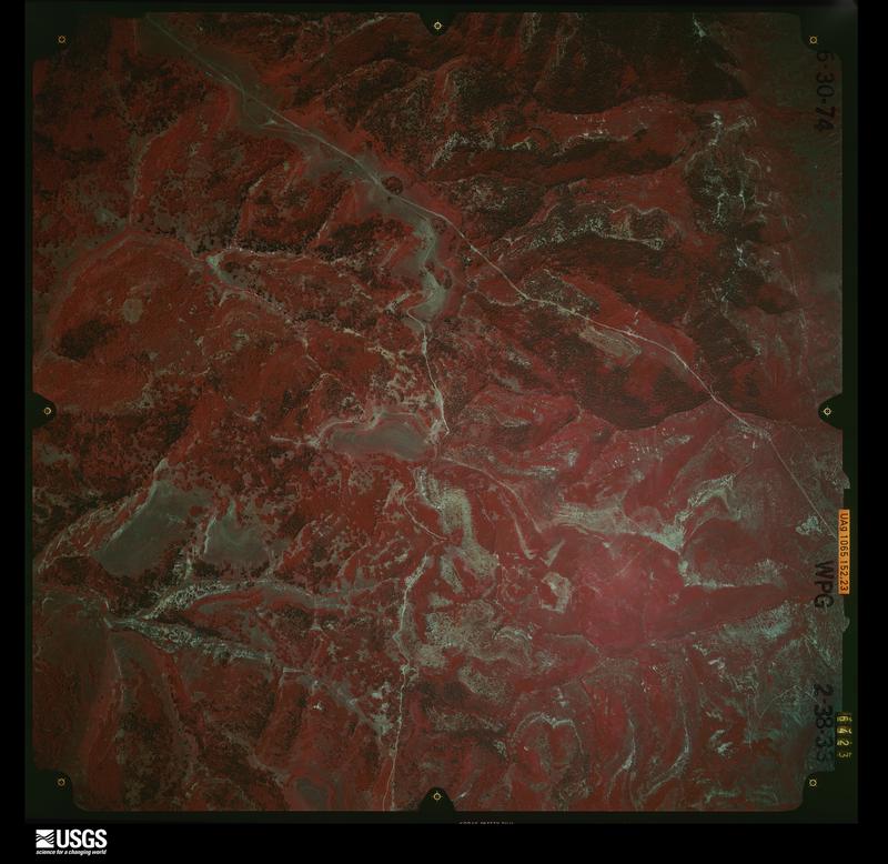
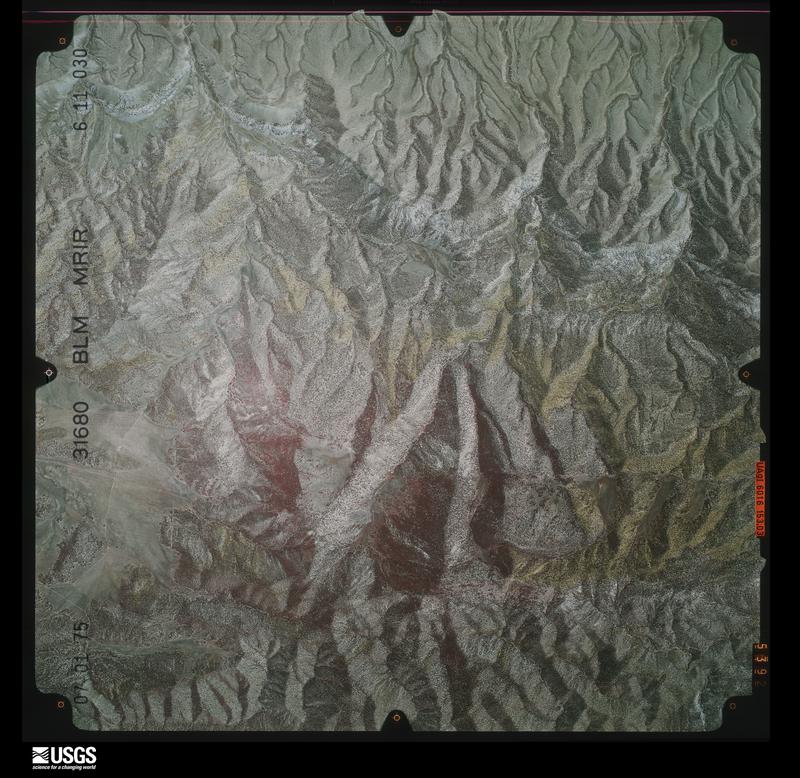
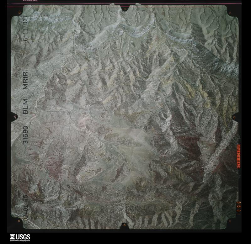
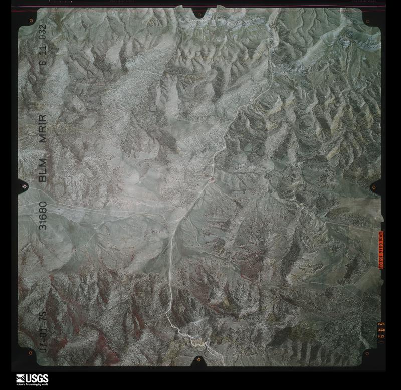
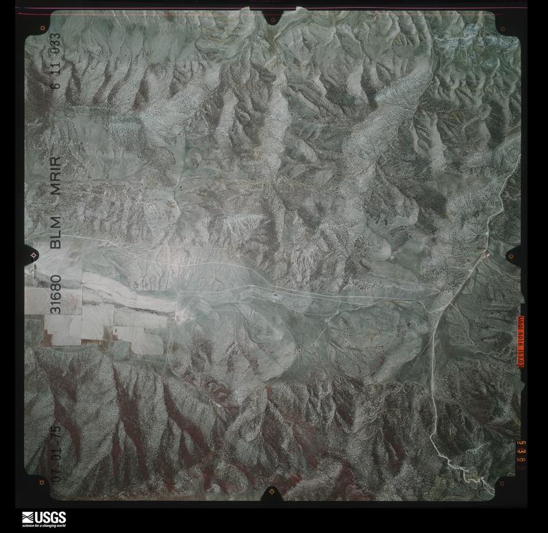
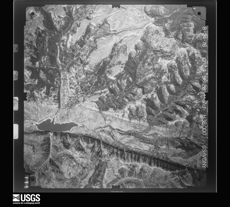
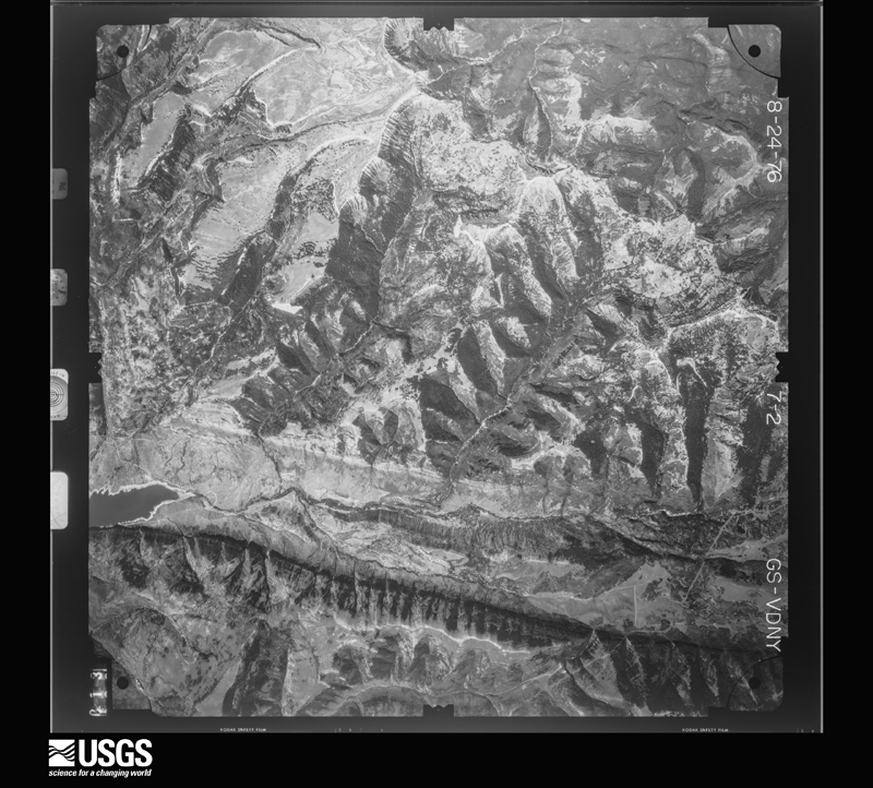
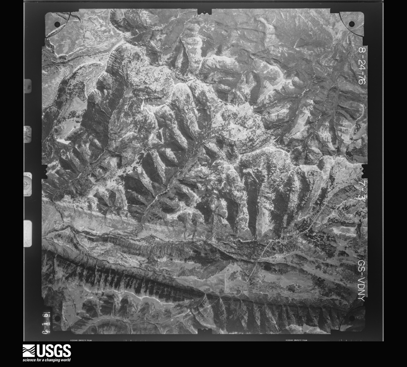
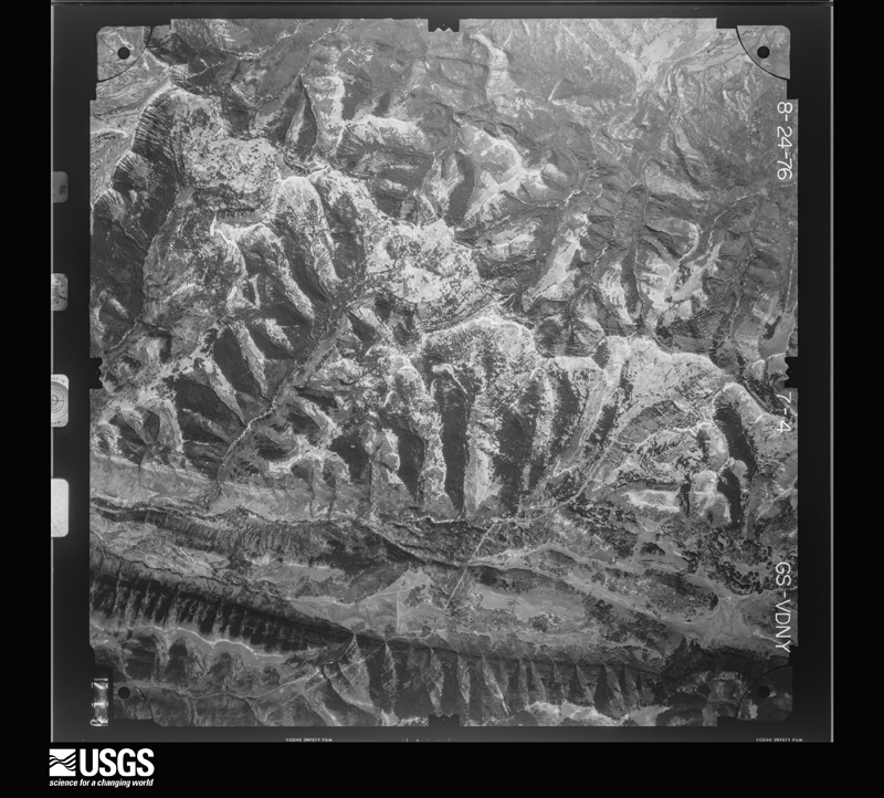
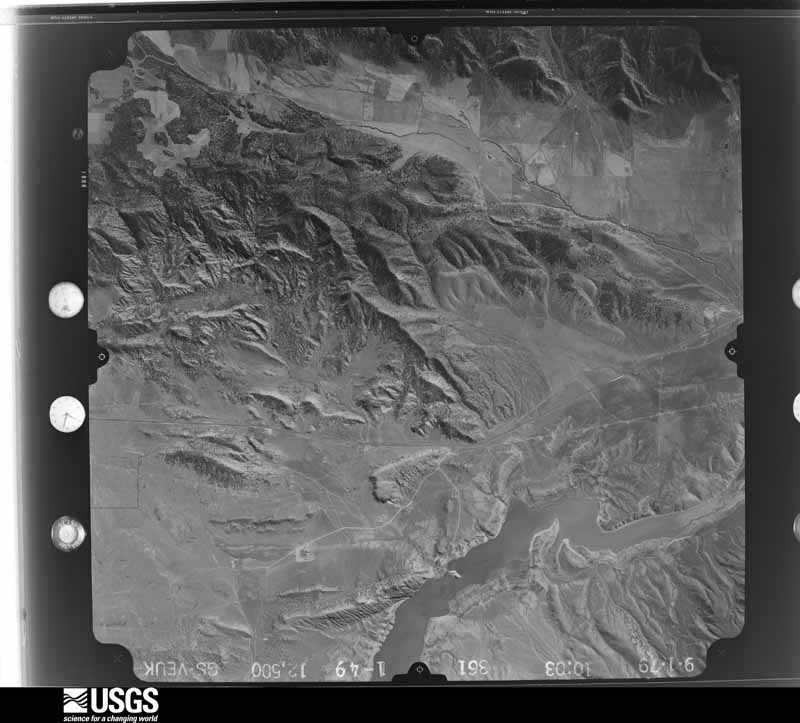
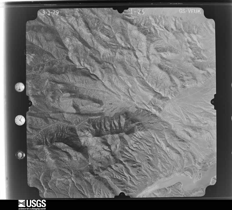
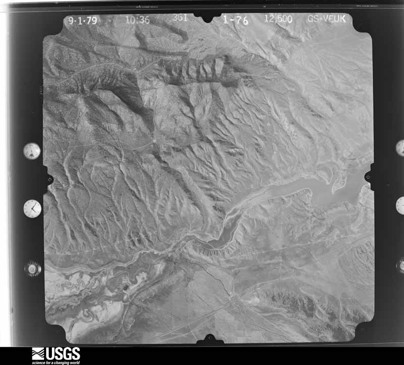
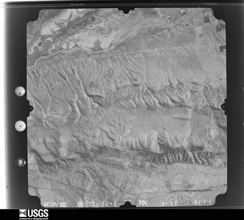
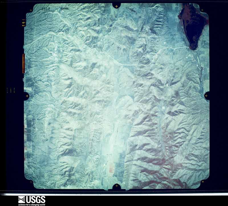
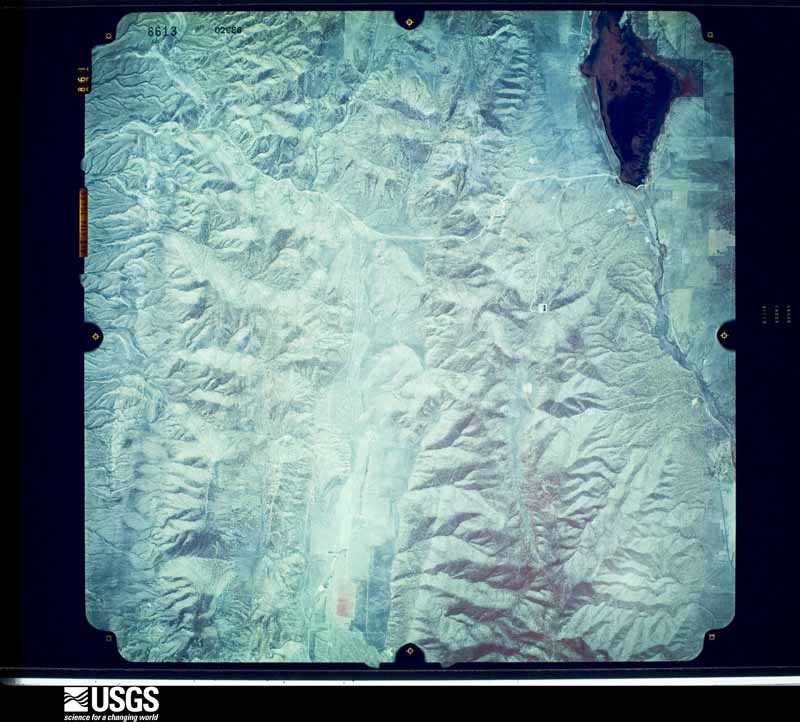
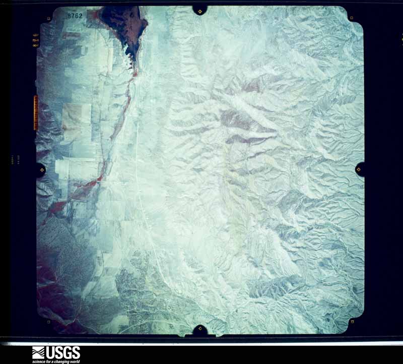
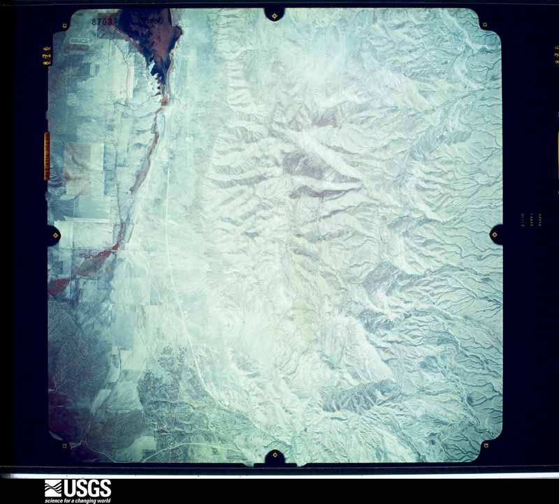
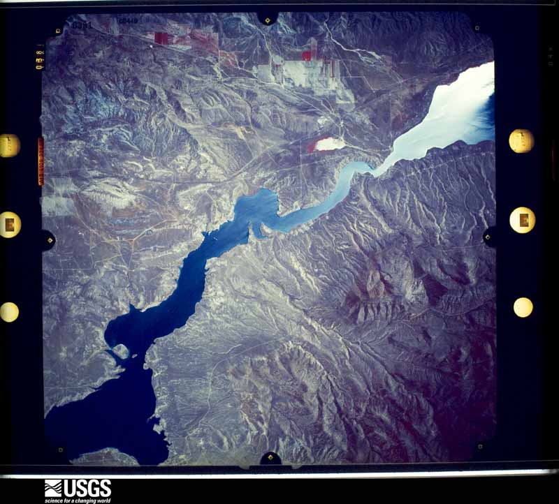
Flown by the U.S. Geological Survey between 1937 and 1989, the Aerial Photo Single Frames collection is the definitive mid-century view of the land: fields, roads and rivers as the camera saw them. The Survey holds 2,377 frames inside the rectangle that bounds this county; the 48 frames below were taken over the county itself, chosen across the decades of flights (at most four a year from that rectangle), so one flight cannot crowd out the rest. The full set is free to browse and download at EarthExplorer under the dataset Aerial Photo Single Frames.
The thermometers that kept this county's weather, and the gages that measured the flow of its streams, as the federal records hold them. The extremes below are measured values from those records, not estimates.
Who lived here in 1950, one enumeration district at a time, as the Census Bureau described each district. Each row opens its official National Archives result, with Population Schedules and ED Maps available there.
Every wildfire the federal occurrence database records inside this county: 963 of them, burning about 76,154 acres. 468 started naturally and 33 were recorded as arson. Each settlement page carries the fires within five miles of it.
| Reported cause | Fires |
|---|---|
| Natural | 468 |
| Missing data/not specified/undetermined | 191 |
| Debris and open burning | 84 |
| Recreation and ceremony | 81 |
| Equipment and vehicle use | 60 |
| Arson/incendiarism | 33 |
| Misuse of fire by a minor | 15 |
| Power generation/transmission/distribution | 10 |
| Fireworks | 6 |
| Smoking | 5 |
| Firearms and explosives use | 5 |
| Other causes | 5 |
The five largest, by the area the report gives. One of them was set deliberately.
| Date | Cause | Size | Reported by | Name on the report |
|---|---|---|---|---|
| 23 June 2012 | Power generation/transmission/distribution | 47,387 acres | Richfield Field Office | WOOD HOLLOW |
| 28 June 2007 | Debris and open burning | 5,315 acres | Manti-Lasal National Forest | JUNGLE RX BURN |
| 29 July 2004 | Natural | 4,762 acres | Manti-Lasal National Forest | SIX MILE |
| 8 September 2016 | Natural | 2,866 acres | Manti-Lasal National Forest | FLY CANYON |
| 23 July 2016 | Natural | 2,050 acres | Manti-Lasal National Forest | PORCUPINE |
| 6 August 2018 | Missing data/not specified/undetermined | 1,861 acres | Richfield Field Office | HILL TOP |
| 29 September 2006 | Arson/incendiarism | 1,586 acres | Richfield Field Office | POLLYS PEAK |
| 14 July 2005 | Natural | 1,550 acres | Manti-Lasal National Forest | WHITE KNOLL |
Every settlement page carries the fires within five miles of it - see the settlement index below.
The NOAA Storm Events Database holds 43 reports for this county, causing no deaths, 1 injury and about $3,637,530 in recorded property damage. Each settlement page carries the reports that name it.
| Kind of event | Reports |
|---|---|
| Thunderstorm Wind | 12 |
| Flash Flood | 11 |
| Tornado | 10 |
| Hail | 5 |
| Flood | 2 |
| Debris Flow | 2 |
| Lightning | 1 |
The most serious of them, by death, then injury, then recorded damage. The accounts are quoted exactly as the forecast office filed them.
| When | Event | Place named | Harm | What the report says |
|---|---|---|---|---|
| June 2001 | Lightning | Fairview | 1 hurt | A 26-year old man was struck by lightning while golfing at a course near Fairview. A medical helicopter transported him to a hospital in Salt Lake City. The lightning bolt reportedly went in through his head and out through his hip. He was treated and later released. |
| September 2002 | Tornado (F2) | Manti | $2,000,000 | An F2 tornado began one mile south-southwest of Manti and moved northeast through Southeast Manti. The first mile of the tornado path was across open land, however the tornado produced some remarkable damage at the start. A 10X12 foot pioneer building was lifted, rotated 90 degrees, and moved 8 feet before being dropped back to the ground. At the south end of Manti, the tornado struck the Anderson Lumber business and did substantial damage. A 40 foot semi-trailer, loaded with insulation, was lifted and thrown onto it's side approximately 35 to 40 feet away. A large amount of debris, along with a 10X10 foot wooden shed, was thrown across Highway 89 and over the hill some 200 to 300 feet away. The wide swath of the tornado did considerable damage as it moved through the residential area in Southeast Manti. As the tornado exited the residential area, where some of the heaviest damage occurred, a 26 foot camp trailer was lifted and thrown to the west-northwest some 150 to 200 feet and disintegrated. The tornado continued across open farmland another half a mile or so before dissipating near the mountains. It has been determined that this was a high-end F2 tornado, with winds as high as 157 mph. The distance traveled was 2.75 miles, and the width was 800 feet. Time on the ground was approximately 15 minutes. Estimated damage is around $2,000,000, but could still go higher. Amazingly, there were no injuries. |
| July 1998 | Flash Flood | Spring City | $900,000 | no account filed |
| July 1998 | Flash Flood | Spring City | $200,000 | no account filed |
| May 2015 | Flash Flood | Centerfield | $100,000 | Heavy rain caused widespread flash flooding in the cities of Gunnison and Centerfield, with an approximate total of 30 homes and businesses sustaining some damage from the flood waters. About another 100 homes experienced yard flooding. Most damaged homes had minor damage to basements or lower levels. In addition, portions of the Gunnison Market grocery store were flooded, and some of the inventory was damaged. |
| July 2012 | Flash Flood | Fountain Green | $100,000 | A large debris flow occurred at the Wood Hollow burn scar. This debris flow damaged multiple homes, with two homes in particular receiving significant damage. The main damage was caused by mud flowing into basements, with one home having muddy water pooled as much as 8 feet deep in the basement. In addition, the debris crossed over State Route 132 and closed the road for several hours. |
| June 2011 | Flood | Axtell | $100,000 | The Sevier River flooded in Sanpete County, with many roads damaged in the Gunnison and Centerfield area. Water was a foot deep along parts of the Clarion Road, damaging both the road and a nearby hunting club. There was extensive flooding along the Gunnison Farmers Freeway, with some road and bridge damage in that area. Damage was also reported along River Bridge Road in the Fayette area. |
| July 1998 | Flash Flood | Spring City | $100,000 | no account filed |
| May 2000 | Thunderstorm Wind | Gunnison | $50,000 | no account filed |
| July 2007 | Flash Flood | Fountain Green | $25,000 | Debris from the Salt Creek burn scar pushed mud and debris into several homes in Fountain Green. Damage amounts were estimated as clean-up costs. |
| July 2012 | Flash Flood | Fountain Green | $20,000 | An ash flow was reported after heavy rain fell over the Wood Hollow burn scar. Parts of Wood Hollow Road were washed out due to this flash flood. |
| June 1997 | Flood | Gunnison | $20,000 | Heavy rain caused flooding at the state prison in Gunnison causing some damage. A nearby spotter measured 1.38" of rain on this date. |
| June 2005 | Thunderstorm Wind | Moroni | $10,000 | Thunderstorm/microburst winds destroyed roof on a turkey hatchery. |
| June 2005 | Tornado (F0) | Mt Pleasant | $8,000 | Brief touchdown flipped over a motor home and blew the roof off a shed. |
| August 1964 | Tornado (F1) | not stated | $2,500 | no account filed |
| July 2001 | Flash Flood | Gunnison | $2,000 | A flash flood occurred in Lone Cedar Canyon, southwest of Gunnison. A County road was washed out in several places, and about 60 acres of hay was damaged. |
| August 1984 | Tornado (F0) | not stated | $30 | no account filed |
| March 2026 | Thunderstorm Wind | Fayette | - | The Gunnison Ridge mesonet station recorded a wind gust of 58 mph as a result of outflow winds associated with a nearby cluster of showers and thunderstorms moving through the area. |
| July 2025 | Thunderstorm Wind | Pine Creek | - | The Gunnison Reservoir mesonet station recorded a wind gust of 59 mph as a result of outflow winds associated with a nearby cluster of showers and thunderstorms moving through the area. |
| May 2024 | Thunderstorm Wind | Centerfield | - | The Centerfield mesonet station recorded a wind gust of 58 mph as a result of outflow winds associated with a nearby cluster of showers and thunderstorms moving through the area. |
| July 2024 | Thunderstorm Wind | Manti | - | The US-89 at MP 254 South Manti mesonet station recorded a wind gust of 64 mph as a result of outflow winds associated with a nearby cluster of showers and thunderstorms moving through the area. |
| July 2024 | Thunderstorm Wind | Sterling | - | The Palisade Lake mesonet station recorded a wind gust of 62 mph as a result of outflow winds associated with a nearby cluster of showers and thunderstorms moving through the area. |
| June 2020 | Thunderstorm Wind | Manti Ephram Arpt | - | The 5 NNE Manti sensor recorded a peak wind gust of 64 mph. |
| June 2020 | Thunderstorm Wind | Mt Pleasant Arpt | - | The Sanpete- Agrimet sensor recorded a peak wind gust of 60 mph. |
| July 2017 | Flash Flood | Centerfield | - | Flash flooding was reported in Centerfield, particularly over Clarion Road, with flowing water temporarily making the road impassible. |
| July 2015 | Thunderstorm Wind | Ephraim | - | A peak wind gust of 72 mph was recorded by the Joe's Valley RAWS. |
| August 2014 | Flash Flood | Fountain Green | - | Utah State Route 132 was temporarily closed at Milepost 37 due to flooding and debris on the roadway. |
| August 2013 | Debris Flow | Fountain Green | - | A large debris flow came off of the Wood Hollow Fire burn scar following heavy rainfall. The flow was generally 3 feet deep, and ran 4 miles out of the burn scar, but did not impact the town of Fountain Green. |
| August 2013 | Debris Flow | Fountain Green | - | Heavy rain over the Wood Hollow Fire burn scar resulted in a debris flow, with mud crossing over State Route 132 between Fountain Green and Moroni. |
| September 2009 | Hail | Moroni | - | Hail with a diameter of 0.75 inches was reported near Moroni. |
| July 2007 | Flash Flood | Fountain Green | - | Heavy rain once again produced a debris flow on the Salt Creek scar. In 15 minutes, 0.97 in rainfall was recorded at a local RAWS. |
| September 2002 | Hail | Manti | - | The storm that produced the F2 tornado in Manti, also dropped 1 3/4 inch (reported as apricot-size) hail on the town. |
| September 2002 | Tornado (F0) | Ephraim | - | A small tornado (F0) was observed just west of Ephraim in Sanpete County. The tornado moved slowly to the northeast over open country before dissipating. This tornado remained on the ground for only a few seconds, but the funnel cloud was visible for about 10 minutes. |
| September 2002 | Tornado (F0) | Centerfield | - | An F0 tornado was spotted on the ground for a short time over open country 5 miles NNE of Centerfield. |
| August 2001 | Tornado (F0) | Fairview | - | A spotter reported a tornado just west of Highway 89 between Fairview and Birdseye. The tornado lasted about 10 minutes and remained over open country. |
| May 2000 | Tornado (F0) | Gunnison | - | no account filed |
| July 1987 | Hail | not stated | - | no account filed |
| July 1987 | Hail | not stated | - | no account filed |
| July 1984 | Thunderstorm Wind | not stated | - | no account filed |
| April 1969 | Thunderstorm Wind | not stated | - | no account filed |
| June 1964 | Hail | not stated | - | no account filed |
| June 1955 | Tornado | not stated | - | no account filed |
| June 1955 | Tornado (F2) | not stated | - | no account filed |
The Survey's mineral resources record lists 233 workings inside this county. 18 still produce and 215 are closed or unrecorded. Each settlement page carries the workings within five miles of it.
| Commodity | Workings |
|---|---|
| Sand and Gravel, Construction | 169 |
| Stone, Dimension | 14 |
| Stone | 11 |
| Volcanic Materials | 6 |
| Pumice | 6 |
| Clay | 4 |
| Bentonite | 4 |
| Manganese | 3 |
| Halite | 3 |
| Gypsum-Anhydrite | 2 |
| Uranium | 2 |
| Fluorine-Fluorite | 1 |
| Limestone, General | 1 |
| Lead, Zinc, Silver | 1 |
The least common of them first, because a county's hundredth gravel pit says nothing its first ten did not.
| Where | Site | Commodity | Status | Recorded |
|---|---|---|---|---|
| Abandoned Salt Mine | Sodium | Past Producer | ||
| Fayette Springs Gold Prospect | Gold | Past Producer | ||
| Gunnison Res. Limestone Prospect | Limestone, General | Occurrence | Limestone | |
| Gunnison Res.Limestone Prospect | Limestone, Dimension | Past Producer | ||
| Lost Josephine Prospect | Silver, Gold, Lead | Occurrence | Vein | |
| Santobar | Lead, Zinc, Silver | Past Producer | Replacement | |
| Santobar Mine | Silver, Zinc, Lead | Past Producer | Underground | |
| South Skinner Peaks Prospect | Fluorine-Fluorite | Occurrence | Vein | |
| Wales Tufa Deposit | Calcium | Occurrence | ||
| Cotton #1 & Hot Spot | Uranium | Unknown | ||
| Hot Spot & Cotton #1 Properties | Uranium | Occurrence | ||
| Mayfield Gypsum Deposit | Gypsum-Anhydrite | Occurrence | ||
| Mayfield Gypsum Deposit | Gypsum-Anhydrite | Past Producer | ||
| Albert Poulson Salt Pit | Halite | Past Producer | Halite | |
| Congo No. 1 Prospect | Manganese | Occurrence | ||
| Losty Canyon Prospect | Manganese | Occurrence | ||
| Original Redmond Clay and Salt-Salt Pit | Halite | Past Producer | Halite | |
| Redmond Clay and Salt-Salt Pit | Halite | Producer | Halite | |
| Unnamed Prospect | Manganese | Prospect | 1918 | |
| Clay Prospect | Clay | Past Producer | Clay | |
| Clay Prospect | Clay | Past Producer | ||
| Mayfield Kaolinite Deposit | Clay | Past Producer | Clay | |
| Mayfield Koalinite Deposit | Clay | Past Producer | ||
| Northern Bentonite Pit | Bentonite | Past Producer | Bentonite | |
| Redmond Clay and Salt-Bentonite Pit | Bentonite | Producer | Bentonite | |
| Redmond Hills Bentonite Pit No.1 | Bentonite | Past Producer | ||
| Redmond Hills Bentonite Pit No.2 | Bentonite | Past Producer | ||
| Azomite - Welded Tuff Deposit East #1 | Volcanic Materials | Past Producer | Tuff | |
| Azomite - Welded Tuff Deposit East #2 | Volcanic Materials | Past Producer | Tuff | |
| Azomite - Welded Tuff Deposit East #3 | Volcanic Materials | Occurrence | Tuff | |
| Azomite - Welded Tuff Deposit East #4 | Volcanic Materials | Prospect | Tuff | |
| Azomite - Welded Tuff Quarry | Volcanic Materials | Past Producer | Tuff | |
| Azomite Welded Tuff Quarry | Pumice | Producer | ||
| Azomite-Welded Tuff Deposit East 1 | Pumice | Producer | ||
| Azomite-Welded Tuff Deposit East 2 | Pumice | Past Producer | ||
| Azomite-Welded Tuff Deposit East 4 | Pumice | Past Producer | ||
| Azomite-Welded Tuff Deposit-East 3 | Pumice | Past Producer | ||
| Painted Rks.Azo.Welded Tuff Quarry | Pumice | Past Producer | ||
| Painted Rocks Azomite - Welded Tuff Quarry | Volcanic Materials | Past Producer | Tuff | |
| Black Hill Limestone Quarry | Stone | Past Producer | ||
| Gunnison Limestone Prospects | Stone | Past Producer | ||
| Little Pigeon Hollow Ls.Quarry No.1 | Stone | Past Producer | ||
| Nine Mile Stone Quarry | Stone | Past Producer | ||
| Pigeon Creek Limestone Quarry No.1 | Stone | Past Producer | ||
| Pigeon Creek Limestone Quarry No.2 | Stone | Past Producer | ||
| Pigeon Creek Limestone Quarry No.3 | Stone | Past Producer | ||
| Pigeon Hollow Limestone Prospect | Stone | Past Producer | ||
| Temple Hill Quarries | Stone | Past Producer | ||
| White Hill Limestone Quarry No.1 | Stone | Past Producer | ||
| White Hill Stone Quarry No.2 | Stone | Past Producer | ||
| 9 - Mile Stone Quarry | Stone, Dimension | Past Producer | Limestone | |
| Black Hill Limestone Quarry | Stone, Dimension | Past Producer | Limestone | |
| Gunnison Limestone Prospects | Stone, Dimension | Occurrence | Limestone | |
| Gunnison Sec. 35 Quarry | Stone, Dimension | Past Producer | Calcite | |
| Gunnison Sec. 5 Quarry | Stone, Dimension | Occurrence | Calcite | |
| Little Pigeon Hollow Limestone Quarry #1 | Stone, Dimension | Past Producer | Limestone | |
| Moroni North Sandstone Prospects | Stone, Dimension | Past Producer | Quartz | |
| Pigeon Creek Limestone Quarry #1 | Stone, Dimension | Past Producer | Limestone | |
| Pigeon Creek Limestone Quarry #2 | Stone, Dimension | Past Producer | Limestone | |
| Pigeon Creek Limestone Quarry #3 | Stone, Dimension | Past Producer | Surface | |
| Pigeon Hollow Limestone Prospect | Stone, Dimension | Occurrence | Limestone | |
| Temple Hill Quarries | Stone, Dimension | Past Producer | Limestone | |
| White Hill Limestone Quarry #1 | Stone, Dimension | Past Producer | Limestone | |
| White Hill Stone Quarry #2 | Stone, Dimension | Past Producer | Surface | |
| Axhandle Canyon Gravel Pit | Sand and Gravel, Construction | Past Producer | Gravel | |
| Axhandle Canyon Gravel Pit | Sand and Gravel, Construction | Past Producer | ||
| Bluebell Flat Gravel Pit | Sand and Gravel, Construction | Past Producer | Limestone | |
| Bluebell Flat Gravel Pit | Sand and Gravel, Construction | Past Producer | ||
| Borrow Pit | Sand and Gravel, Construction | Past Producer | ||
| Bruno's Borrow Pit | Sand and Gravel, Construction | Past Producer | ||
| Cemetery Borrow Pit | Sand and Gravel, Construction | Producer | ||
| Chester - Highway 89 Borrow Pit | Sand and Gravel, Construction | Past Producer | Gravel, Sand | |
| Chester Ponds Sand Pit | Sand and Gravel, Construction | Past Producer | Sandstone | |
| Chester Ponds Sand Pit | Sand and Gravel, Construction | Past Producer | ||
| Chester-Highway 89 Borrow Pit | Sand and Gravel, Construction | Past Producer | ||
| Coal Canyon Gravel Pit | Sand and Gravel, Construction | Past Producer | Gravel | |
| Coal Canyon Gravel Pit | Sand and Gravel, Construction | Past Producer | ||
| County Line Borrow Pit | Sand and Gravel, Construction | Past Producer | Gravel, Rhyolite, Sand | |
| County Line Borrow Pit | Sand and Gravel, Construction | Past Producer | ||
| Duck Fork Gravel Pit | Sand and Gravel, Construction | Past Producer | Gravel, Sand | |
| Duck Fork Gravel Pit | Sand and Gravel, Construction | Producer | ||
| East Centerfield Gravel Pit | Sand and Gravel, Construction | Past Producer | Gravel | |
| Fayette Cemetary Gravel Pit | Sand and Gravel, Construction | Past Producer | Gravel, Sand, Sandstone | |
| Fayette Cemetary Gravel Pits | Sand and Gravel, Construction | Past Producer | ||
| Fayette Sand Deposit | Sand and Gravel, Construction | Past Producer | Sedimentary | |
| Fayette Sand Deposit | Sand and Gravel, Construction | Past Producer | ||
| Gravel Hills Deposit | Sand and Gravel, Construction | Past Producer | ||
| Gravel Pit | Sand and Gravel, Construction | Past Producer | ||
| Gunnison Sand Deposit | Sand and Gravel, Construction | Occurrence | ||
| Gunnison Sand Deposit | Sand and Gravel, Construction | Occurrence | ||
| Manti Canyon Gravel Pit #1 | Sand and Gravel, Construction | Past Producer | Gravel | |
| Manti Canyon Gravel Pit #2 | Sand and Gravel, Construction | Past Producer | Gravel | |
| Manti Canyon Gravel Pit No.1 | Sand and Gravel, Construction | Past Producer | ||
| Manti Canyon Gravel Pit No.2 | Sand and Gravel, Construction | Past Producer | ||
| Maple Canyon Gravel Pit | Sand and Gravel, Construction | Past Producer | Gravel | |
| Maple Canyon Gravel Pit | Sand and Gravel, Construction | Past Producer | ||
| Mayfield Gravel Pit | Sand and Gravel, Construction | Past Producer | 1968 | |
| Mayfield Gravel Pit | Sand and Gravel, Construction | Past Producer | ||
| Mayfield Gravel Pit No.2 | Sand and Gravel, Construction | Occurrence | ||
| Mellor Canyon Gravel Pit | Sand and Gravel, Construction | Past Producer | Gravel | |
| Mellor Canyon Gravel Pit | Sand and Gravel, Construction | Past Producer | ||
| Milburn Borrow Pit | Sand and Gravel, Construction | Prospect | Surface | |
| Milburn Borrow Pit | Sand and Gravel, Construction | Past Producer | ||
| Moroni Canal Gravel Pit | Sand and Gravel, Construction | Past Producer | ||
| Nine-Mile Gravel Deposit | Sand and Gravel, Construction | Occurrence | Gravel | |
| Nine-Mile Gravel Deposit | Sand and Gravel, Construction | Occurrence | ||
| North Centerfield Gravel Deposit | Sand and Gravel, Construction | Occurrence | Gravel | |
| North Fountain Green Gravel Pit | Sand and Gravel, Construction | Past Producer | ||
| North Sterling Borrow Pit #1 | Sand and Gravel, Construction | Past Producer | Gravel | |
| North Sterling Borrow Pit No.1 | Sand and Gravel, Construction | Past Producer | ||
| North Sterling Gravel Deposit | Sand and Gravel, Construction | Occurrence | Gravel | |
| North Sterling Gravel Deposit | Sand and Gravel, Construction | Occurrence | ||
| Olsen Slough Gravel Pits | Sand and Gravel, Construction | Past Producer | ||
| Pioneer Cemetary Borrow Pit | Sand and Gravel, Construction | Past Producer | Gravel, Sand | |
| Pioneer Cemetary Borrow Pit | Sand and Gravel, Construction | Past Producer | ||
| Poulson Salt Mine No.1 | Sand and Gravel, Construction | Past Producer | ||
| Rasphalt, Inc. Gravel Pit | Sand and Gravel, Construction | Producer | Unconsolidated Sediments | |
| Round Hills Gravel Pit | Sand and Gravel, Construction | Past Producer | ||
| Sand Ridge Borrow Pit | Sand and Gravel, Construction | Past Producer | Gravel, Sand | |
| Sand Ridge Borrow Pit | Sand and Gravel, Construction | Past Producer | ||
| Skyline Drive Gravel Pit | Sand and Gravel, Construction | Past Producer | Limestone | |
| Skyline Drive Gravel Pit | Sand and Gravel, Construction | Producer | ||
| Snail Hollow Gravel Pit | Sand and Gravel, Construction | Past Producer | Gravel | |
| Snail Hollow Gravel Pit | Sand and Gravel, Construction | Past Producer | ||
| Spring Ditch Borrow Pit | Sand and Gravel, Construction | Past Producer | ||
| Sterling Gravel Pit | Sand and Gravel, Construction | Past Producer | Gravel | |
| Sterling Gravel Pit | Sand and Gravel, Construction | Producer | ||
| Swedes Canyon Gravel Pit | Sand and Gravel, Construction | Occurrence | Gravel | |
| Swedes Canyon Gravel Pit | Sand and Gravel, Construction | Past Producer | ||
| Tarr Canyon Borrow Pit | Sand and Gravel, Construction | Past Producer | Gravel | |
| Tarr Canyon Borrow Pit | Sand and Gravel, Construction | Past Producer | ||
| Tidwell Springs Se Gravel Pit | Sand and Gravel, Construction | Past Producer | Andesite, Chert, Quartzite, Sandstone, Shale | |
| Twelve Mile Canyon Gravel Pit | Sand and Gravel, Construction | Producer | ||
| Utah Department of Highways Pit #20006 | Sand and Gravel, Construction | Past Producer | Surface | |
| Utah Dept Highways Pit #20023 | Sand and Gravel, Construction | Past Producer | Gravel | |
| Utah Dept Highways Pit No 20063 | Sand and Gravel, Construction | Past Producer | ||
| Utah Dept Highways Pit No.20003 | Sand and Gravel, Construction | Past Producer | ||
| Utah Dept Highways Pit No.20043 | Sand and Gravel, Construction | Occurrence | ||
| Utah Dept. Highways Pit # 20034 | Sand and Gravel, Construction | Past Producer | Gravel | |
| Utah Dept. Highways Pit #20002 | Sand and Gravel, Construction | Past Producer | Gravel | |
| Utah Dept. Highways Pit #20003 | Sand and Gravel, Construction | Past Producer | Gravel | |
| Utah Dept. Highways Pit #20005 | Sand and Gravel, Construction | Past Producer | Gravel, Sand | |
| Utah Dept. Highways Pit #20026 | Sand and Gravel, Construction | Past Producer | Gravel | |
| Utah Dept. Highways Pit #20028 | Sand and Gravel, Construction | Past Producer | Gravel, Sandstone | |
| Utah Dept. Highways Pit #20029 | Sand and Gravel, Construction | Past Producer | Gravel, Sandstone | |
| Utah Dept. Highways Pit #20030 | Sand and Gravel, Construction | Past Producer | Gravel, Sandstone | |
| Utah Dept. Highways Pit #20031 | Sand and Gravel, Construction | Past Producer | Gravel, Sand | |
| Utah Dept. Highways Pit #20032 | Sand and Gravel, Construction | Past Producer | Gravel, Sand | |
| Utah Dept. Highways Pit #20033 | Sand and Gravel, Construction | Occurrence | Sand | |
| Utah Dept. Highways Pit #20036 | Sand and Gravel, Construction | Past Producer | Gravel | |
| Utah Dept. Highways Pit #20038 | Sand and Gravel, Construction | Past Producer | Gravel | |
| Utah Dept. Highways Pit #20039 | Sand and Gravel, Construction | Past Producer | Gravel | |
| Utah Dept. Highways Pit #20041 | Sand and Gravel, Construction | Past Producer | Gravel | |
| Utah Dept. Highways Pit #20042 | Sand and Gravel, Construction | Occurrence | ||
| Utah Dept. Highways Pit #20043 | Sand and Gravel, Construction | Occurrence | ||
| Utah Dept. Highways Pit #20044 | Sand and Gravel, Construction | Past Producer | Surface | |
| Utah Dept. Highways Pit #20045 | Sand and Gravel, Construction | Past Producer | Gravel | |
| Utah Dept. Highways Pit #20046 | Sand and Gravel, Construction | Past Producer | Gravel | |
| Utah Dept. Highways Pit #20047 | Sand and Gravel, Construction | Past Producer | Gravel | |
| Utah Dept. Highways Pit #20048 | Sand and Gravel, Construction | Past Producer | Gravel | |
| Utah Dept. Highways Pit #20049 | Sand and Gravel, Construction | Past Producer | Gravel | |
| Utah Dept. Highways Pit #20053 | Sand and Gravel, Construction | Occurrence | Gravel | |
| Utah Dept. Highways Pit #20054 | Sand and Gravel, Construction | Occurrence | Gravel | |
| Utah Dept. Highways Pit #20055 | Sand and Gravel, Construction | Occurrence | Gravel | |
| Utah Dept. Highways Pit #20056 | Sand and Gravel, Construction | Past Producer | Gravel, Quartzite | |
| Utah Dept. Highways Pit #20057 | Sand and Gravel, Construction | Past Producer | Gravel | |
| Utah Dept. Highways Pit #20058 | Sand and Gravel, Construction | Past Producer | Gravel | |
| Utah Dept. Highways Pit #20059 | Sand and Gravel, Construction | Past Producer | Gravel | |
| Utah Dept. Highways Pit #20060 | Sand and Gravel, Construction | Past Producer | Gravel | |
| Utah Dept. Highways Pit #20062 | Sand and Gravel, Construction | Occurrence | Gravel | |
| Utah Dept. Highways Pit #20063 | Sand and Gravel, Construction | Past Producer | Gravel | |
| Utah Dept. Highways Pit No. 20001 | Sand and Gravel, Construction | Past Producer | Surface | |
| Utah Dept. Highways Pit No. 20035 | Sand and Gravel, Construction | Past Producer | Gravel | |
| Utah Dept. Highways Pit No. 20052 | Sand and Gravel, Construction | Past Producer | Sand | |
| Utah Dept. Highways, Pit #20027 | Sand and Gravel, Construction | Past Producer | Gravel, Sand | |
| Utah Dept.Highways Pit No. 20016 | Sand and Gravel, Construction | Past Producer | ||
| Utah Dept.Highways Pit No. 20017 | Sand and Gravel, Construction | Past Producer | ||
| Utah Dept.Highways Pit No.20001 | Sand and Gravel, Construction | Past Producer | ||
| Utah Dept.Highways Pit No.20002 | Sand and Gravel, Construction | Past Producer | ||
| Utah Dept.Highways Pit No.20005 | Sand and Gravel, Construction | Past Producer | ||
| Utah Dept.Highways Pit No.20007 | Sand and Gravel, Construction | Occurrence | ||
| Utah Dept.Highways Pit No.20008 | Sand and Gravel, Construction | Producer | ||
| Utah Dept.Highways Pit No.20009 | Sand and Gravel, Construction | Past Producer | ||
| Utah Dept.Highways Pit No.20010 | Sand and Gravel, Construction | Past Producer | ||
| Utah Dept.Highways Pit No.20011 | Sand and Gravel, Construction | Producer | ||
| Utah Dept.Highways Pit No.20012 | Sand and Gravel, Construction | Past Producer | ||
| Utah Dept.Highways Pit No.20013 | Sand and Gravel, Construction | Past Producer | ||
| Utah Dept.Highways Pit No.20014 | Sand and Gravel, Construction | Past Producer | ||
| Utah Dept.Highways Pit No.20018 | Sand and Gravel, Construction | Producer | ||
| Utah Dept.Highways Pit No.20019 | Sand and Gravel, Construction | Past Producer | ||
| Utah Dept.Highways Pit No.20022 | Sand and Gravel, Construction | Past Producer | ||
| Utah Dept.Highways Pit No.20023 | Sand and Gravel, Construction | Past Producer | ||
| Utah Dept.Highways Pit No.20024 | Sand and Gravel, Construction | Past Producer | ||
| Utah Dept.Highways Pit No.20025 | Sand and Gravel, Construction | Past Producer | ||
| Utah Dept.Highways Pit No.20026 | Sand and Gravel, Construction | Past Producer | ||
| Utah Dept.Highways Pit No.20027 | Sand and Gravel, Construction | Past Producer | ||
| Utah Dept.Highways Pit No.20028 | Sand and Gravel, Construction | Past Producer | ||
| Utah Dept.Highways Pit No.20029 | Sand and Gravel, Construction | Past Producer | ||
| Utah Dept.Highways Pit No.20030 | Sand and Gravel, Construction | Past Producer | ||
| Utah Dept.Highways Pit No.20031 | Sand and Gravel, Construction | Producer | ||
| Utah Dept.Highways Pit No.20032 | Sand and Gravel, Construction | Past Producer | ||
| Utah Dept.Highways Pit No.20033 | Sand and Gravel, Construction | Occurrence | ||
| Utah Dept.Highways Pit No.20034 | Sand and Gravel, Construction | Past Producer | ||
| Utah Dept.Highways Pit No.20035 | Sand and Gravel, Construction | Past Producer | ||
| Utah Dept.Highways Pit No.20036 | Sand and Gravel, Construction | Producer | ||
| Utah Dept.Highways Pit No.20039 | Sand and Gravel, Construction | Producer | ||
| Utah Dept.Highways Pit No.20041 | Sand and Gravel, Construction | Past Producer | ||
| Utah Dept.Highways Pit No.20042 | Sand and Gravel, Construction | Occurrence | ||
| Utah Dept.Highways Pit No.20044 | Sand and Gravel, Construction | Past Producer | ||
| Utah Dept.Highways Pit No.20045 | Sand and Gravel, Construction | Past Producer | ||
| Utah Dept.Highways Pit No.20046 | Sand and Gravel, Construction | Past Producer | ||
| Utah Dept.Highways Pit No.20047 | Sand and Gravel, Construction | Past Producer | ||
| Utah Dept.Highways Pit No.20048 | Sand and Gravel, Construction | Past Producer | ||
| Utah Dept.Highways Pit No.20049 | Sand and Gravel, Construction | Past Producer | ||
| Utah Dept.Highways Pit No.20050 | Sand and Gravel, Construction | Past Producer | ||
| Utah Dept.Highways Pit No.20052 | Sand and Gravel, Construction | Past Producer | ||
| Utah Dept.Highways Pit No.20053 | Sand and Gravel, Construction | Occurrence | ||
| Utah Dept.Highways Pit No.20054 | Sand and Gravel, Construction | Occurrence | ||
| Utah Dept.Highways Pit No.20055 | Sand and Gravel, Construction | Occurrence | ||
| Utah Dept.Highways Pit No.20056 | Sand and Gravel, Construction | Past Producer | ||
| Utah Dept.Highways Pit No.20057 | Sand and Gravel, Construction | Past Producer | ||
| Utah Dept.Highways Pit No.20058 | Sand and Gravel, Construction | Past Producer | ||
| Utah Dept.Highways Pit No.20059 | Sand and Gravel, Construction | Producer | ||
| Utah Dept.Highways Pit No.20060 | Sand and Gravel, Construction | Past Producer | ||
| Utah Dept.Highways Pit No.20062 | Sand and Gravel, Construction | Occurrence | ||
| Utah Dept.Highways Pit No.20064 | Sand and Gravel, Construction | Occurrence | ||
| Utah Dept.Highways Pit No.20065 | Sand and Gravel, Construction | Past Producer | ||
| Utah Dept.Highways Pit.No.20038 | Sand and Gravel, Construction | Past Producer | ||
| Utah Dept.Highways,Pit No.20015 | Sand and Gravel, Construction | Producer | ||
| White Hills Gravel Pit | Sand and Gravel, Construction | Past Producer | Limestone, Sandstone | |
| Windmill Borrow Pit | Sand and Gravel, Construction | Past Producer | ||
| Witches Knoll Nw Gravel Deposit | Sand and Gravel, Construction | Occurrence | ||
| Witches Knoll Nw Gravel Deposit | Sand and Gravel, Construction | Occurrence |
Named settlements recorded in the Geographic Names Information System, each with the topographic sheets covering it. Villages, hamlets and abandoned places alike. Each is shown with the nearest named watercourse or landform and the survey quadrangle it falls on. The 7 places that were also surveyed for fire insurance come first, with the number of atlases and photographs held for them.
Ephraim-Manti census division · 84627 · Near Cane Valley · Ephraim quadrangle
16 sheets, 1885 to 2001
Fire insurance: 5 atlases
Mount Pleasant-Moroni census division · 84629 · On Cottonwood Creek · Fairview quadrangle
16 sheets, 1885 to 2001
Fire insurance: 2 atlases
Mount Pleasant-Moroni census division · 84632 · Near Big Hollow · Fountain Green North quadrangle
18 sheets, 1885 to 2001
Fire insurance: 2 atlases
Ephraim-Manti census division · 84642 · Near Temple Hill · Manti quadrangle
15 sheets, 1885 to 1981
Fire insurance: 3 atlases
Mount Pleasant-Moroni census division · 84646 · Moroni quadrangle
18 sheets, 1885 to 1983
Fire insurance: 2 atlases
Mount Pleasant-Moroni census division · 84647 · On North Creek · Mount Pleasant quadrangle
16 sheets, 1885 to 1981
Fire insurance: 4 atlases
Mount Pleasant-Moroni census division · 84662 · On Canal Creek · Spring City quadrangle
16 sheets, 1885 to 2001
Fire insurance: 2 atlases
Mount Pleasant-Moroni census division · Near Beaver Dam Ridge · Fairview Lakes quadrangle
17 sheets, 1885 to 2001
Gunnison census division · 84634 · Near Antelope Valley · Gunnison quadrangle
15 sheets, 1885 to 1981
Gunnison census division · 84630 · On Fayette Wash · Gunnison quadrangle
15 sheets, 1885 to 1981
Mount Pleasant-Moroni census division · 84646 · Near Kern Canyon · Fountain Green South quadrangle
19 sheets, 1885 to 2001
Gunnison census division · 84634 · Near Rocky Point · Gunnison quadrangle
15 sheets, 1885 to 1981
Mount Pleasant-Moroni census division · 84629 · Fairview quadrangle
16 sheets, 1885 to 2001
Mount Pleasant-Moroni census division · 84629 · On Birch Creek · Indianola quadrangle
18 sheets, 1885 to 2001
Mount Pleasant-Moroni census division · 84646 · Near Moroni Pole Canyon · Fountain Green South quadrangle
19 sheets, 1885 to 2001
Ephraim-Manti census division · Near South Fork Manti Canyon · Ephraim quadrangle
16 sheets, 1885 to 2001
Ephraim-Manti census division · 84643 · Near Twelvemile Canyon · Mayfield quadrangle
16 sheets, 1885 to 2001
Mount Pleasant-Moroni census division · 84629 · On Crooked Creek · Fairview quadrangle
16 sheets, 1885 to 2001
Mount Pleasant-Moroni census division · 84629 · On Dry Creek · Fairview quadrangle
16 sheets, 1885 to 2001
Mount Pleasant-Moroni census division · 84627 · Near Pigeon Hollow · Chester quadrangle
16 sheets, 1885 to 2001
Ephraim-Manti census division · 84665 · Near Snows Canyon · Sterling quadrangle
16 sheets, 1885 to 2001
Mount Pleasant-Moroni census division · 84667 · In Wales Canyon · Wales quadrangle
16 sheets, 1885 to 2001
Ephraim-Manti census division · 84627 · On Ephraim Creek · Chester quadrangle
16 sheets, 1885 to 2001
16 topographic sheets and 5 fire insurance atlases, 1892 to 1931
16 topographic sheets and 4 fire insurance atlases, 1892 to 1931
15 topographic sheets and 3 fire insurance atlases, 1892 to 1931
18 topographic sheets and 2 fire insurance atlases, 1924 to 1931
The complete index, with nothing left out. Each of these is a separate record with its own page: a federal survey report, or the case file that argued a property on to the National Register. Both are public domain and reproduced word for word.