 Block
From the record
17 National Register listings published here, 1 of them a National Historic Landmark.
Sources: the National Register database, National Park Service
79 topographic sheets and 3 fire insurance atlases across 1 place.
17 National Register listings published here, 1 of them a National Historic Landmark.
Sources: the National Register database, National Park Service
Taken for the Office of War Information and the Farm Security Administration, who photographed the country between 1935 and 1944. Works of United States government photographers, with no known restriction on use. Each opens its catalogue record.
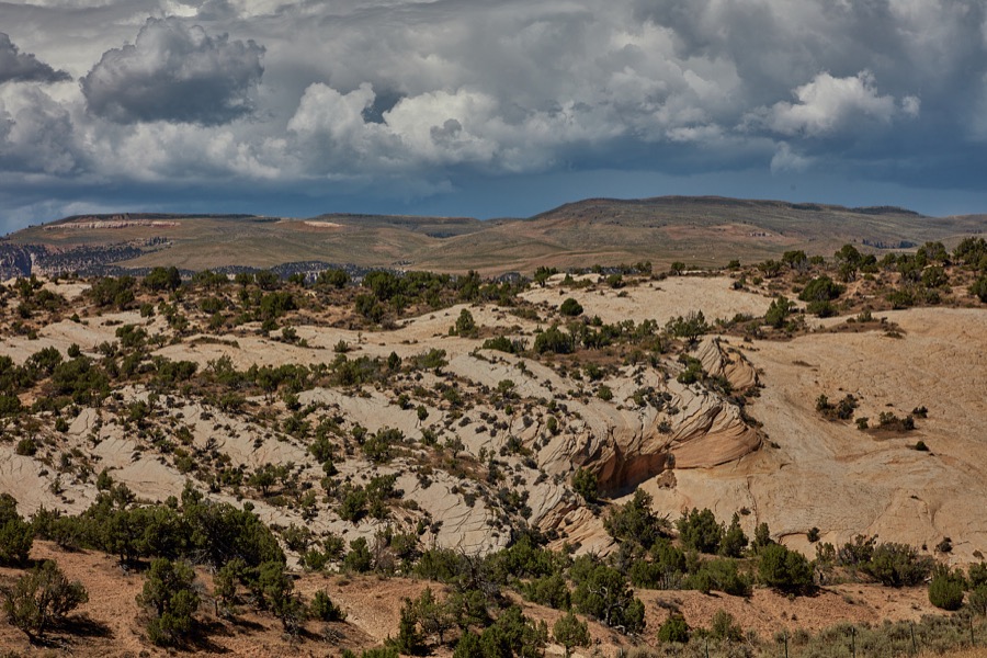
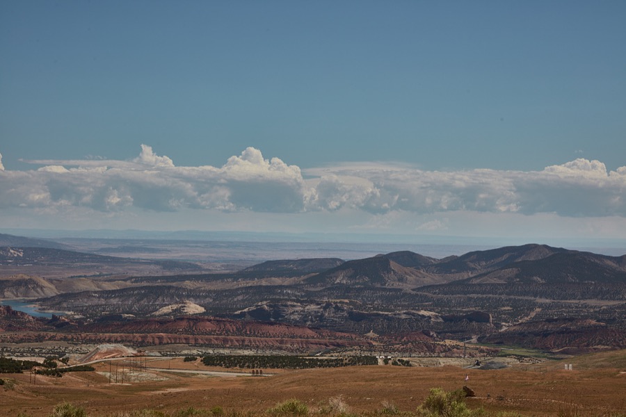
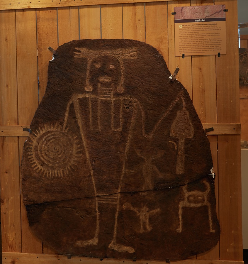
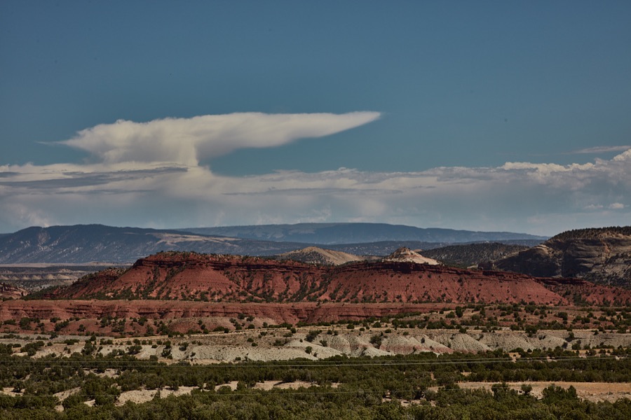
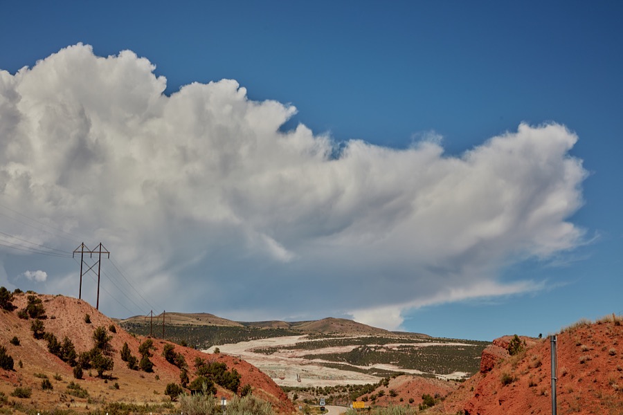

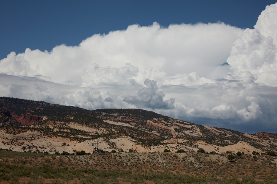
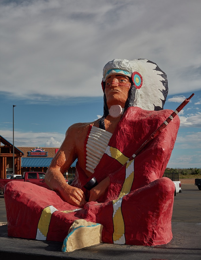
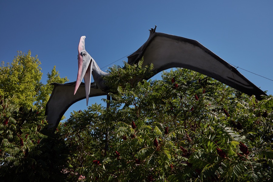
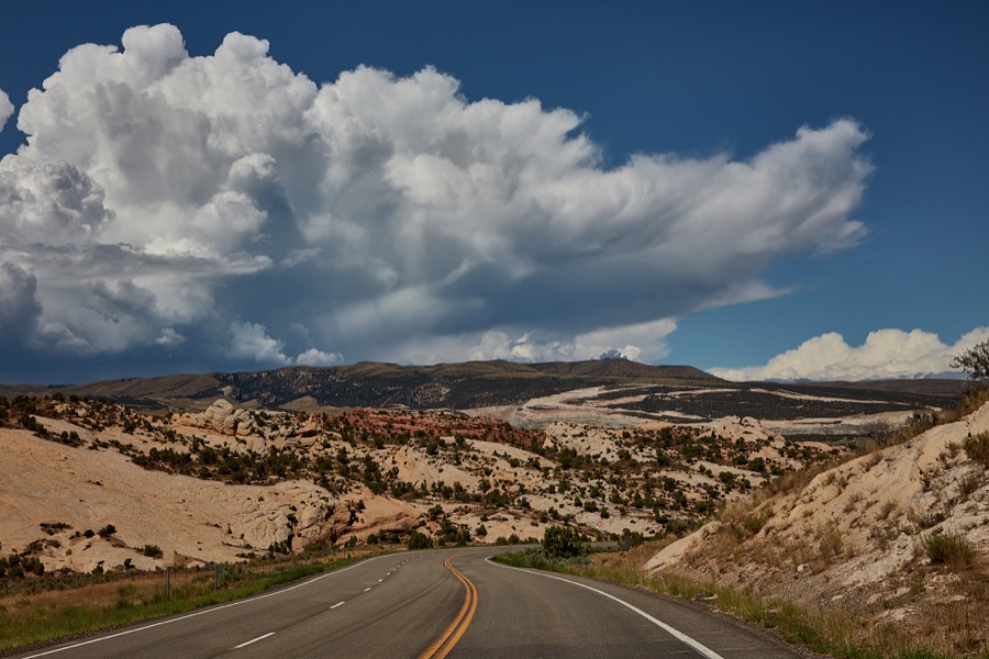
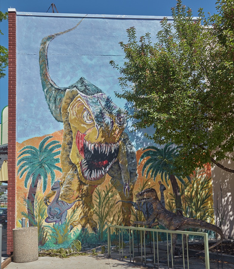
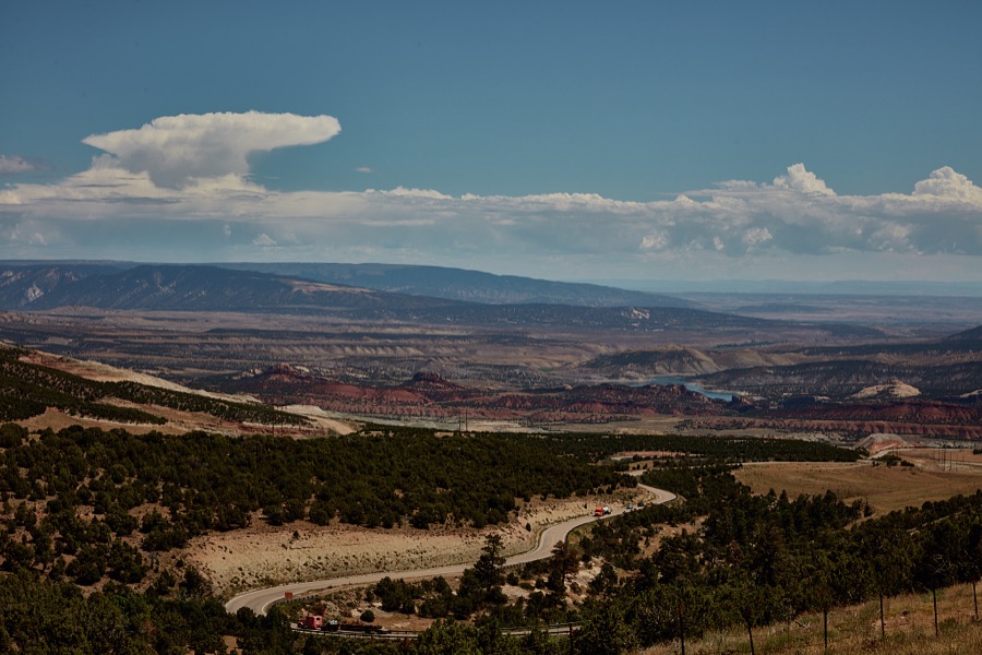
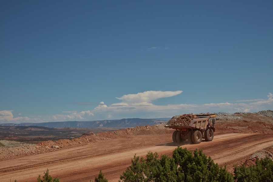
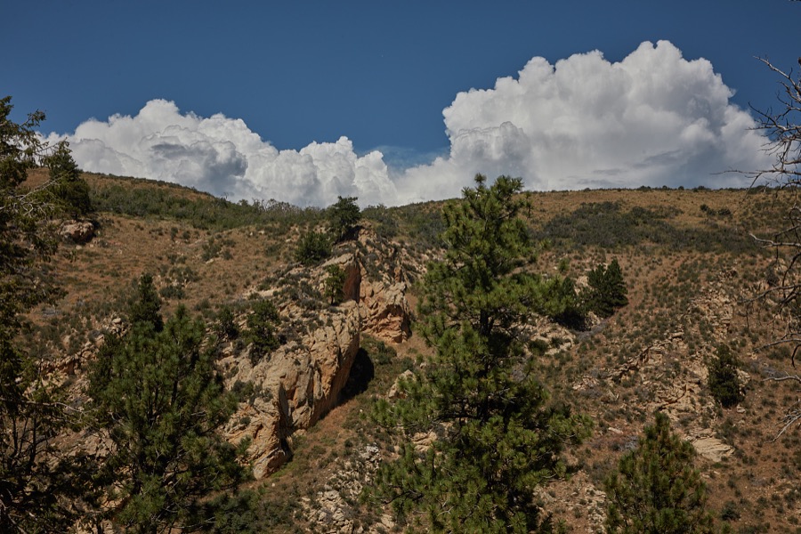
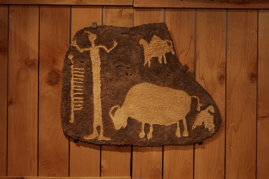
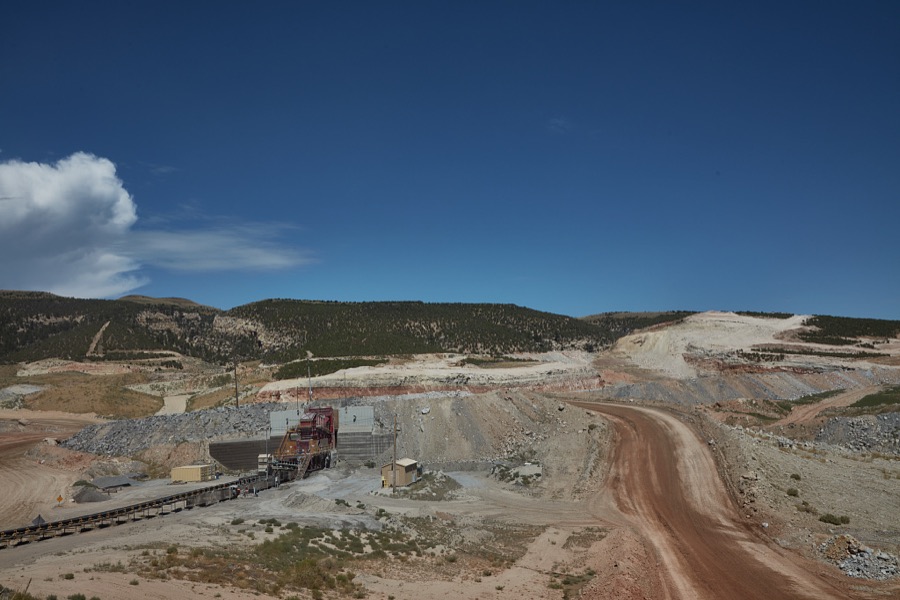
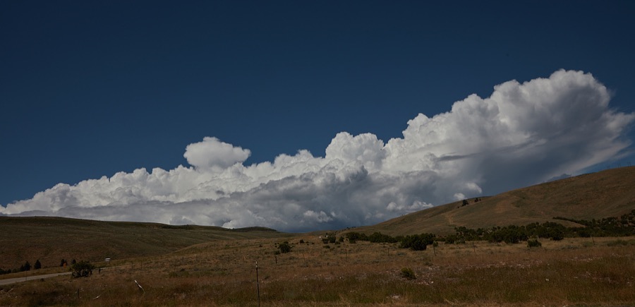
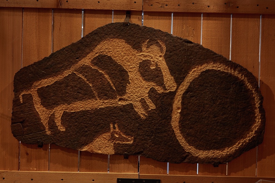
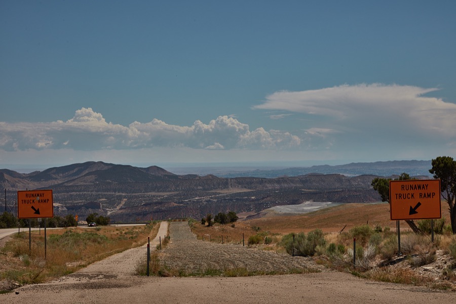
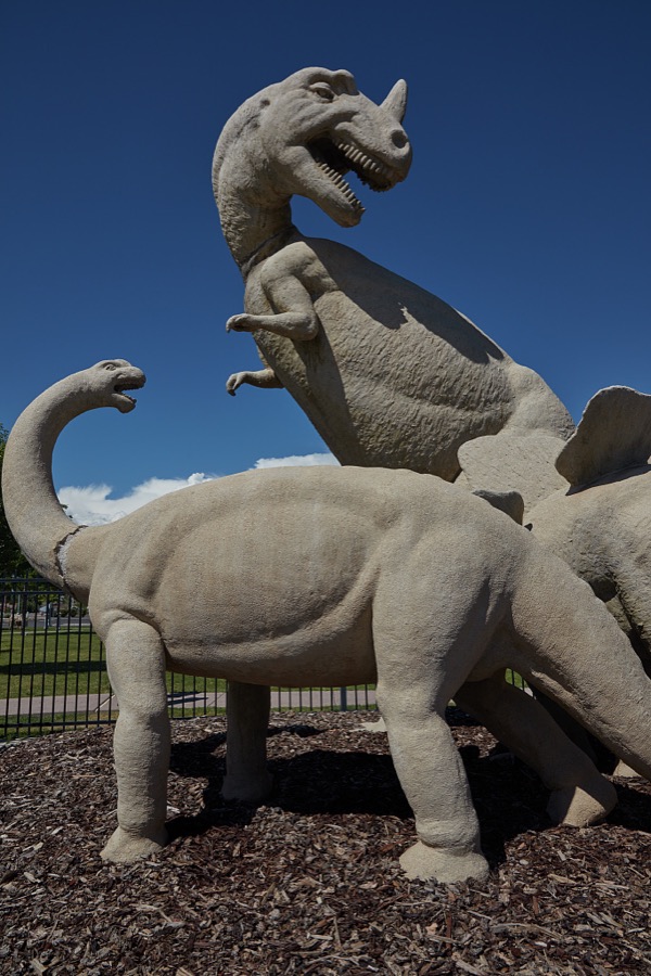
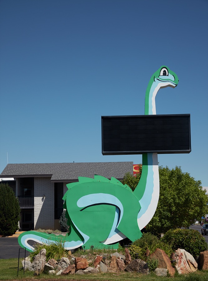
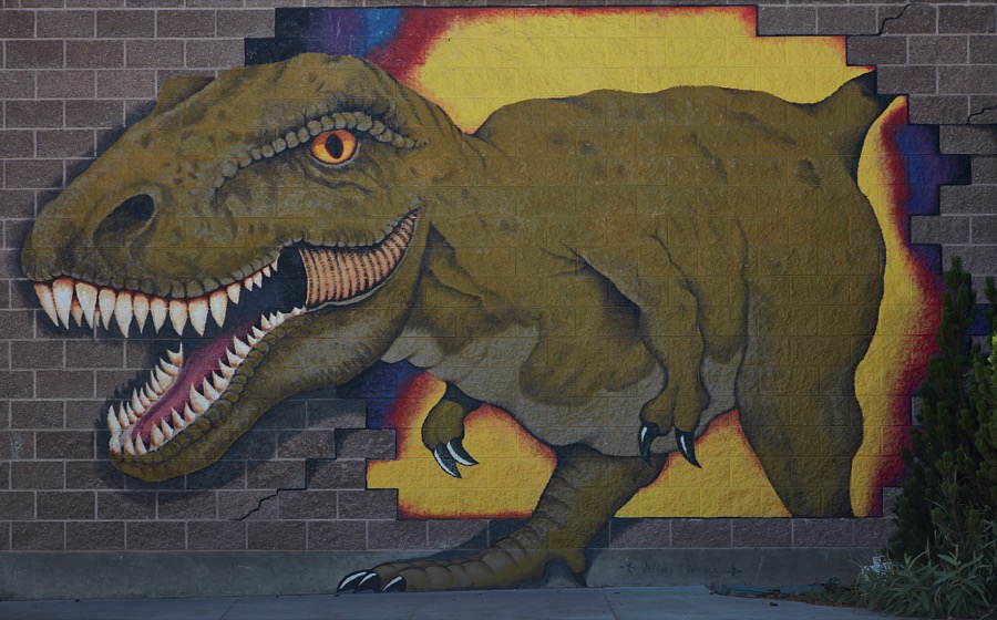
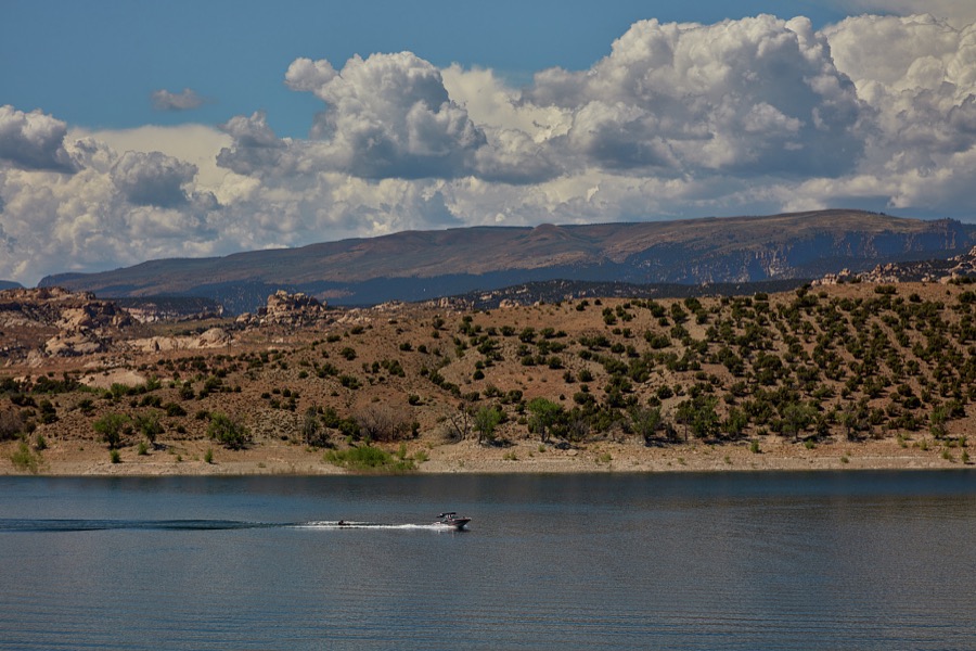
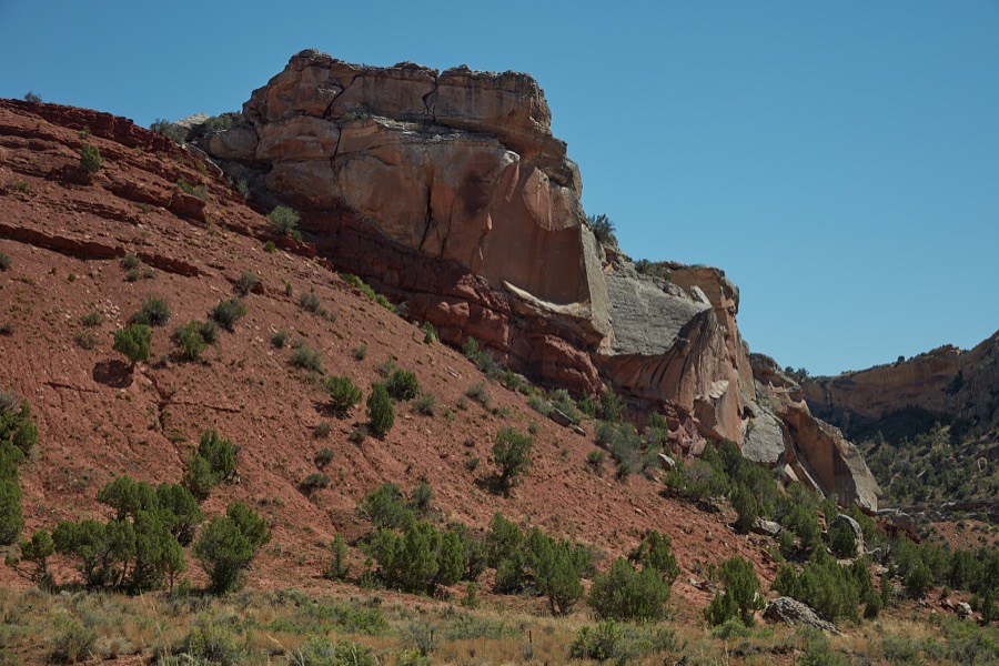
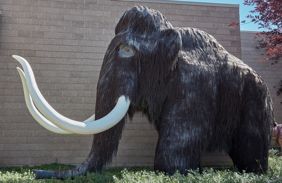
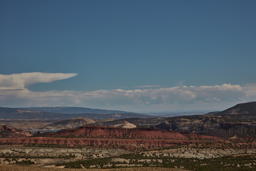
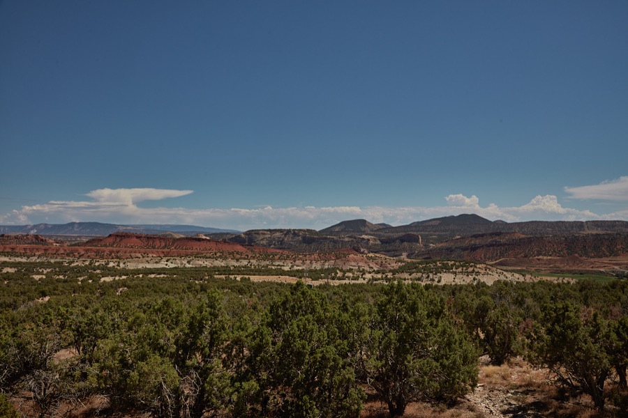
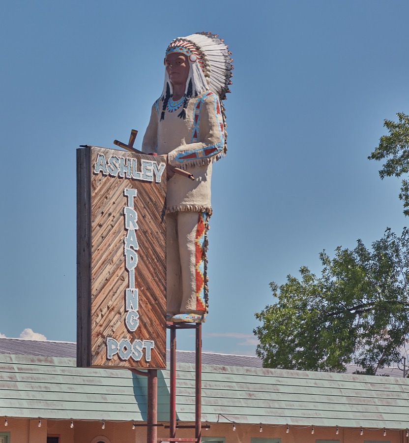
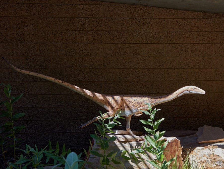
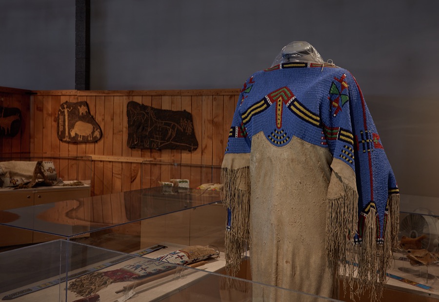
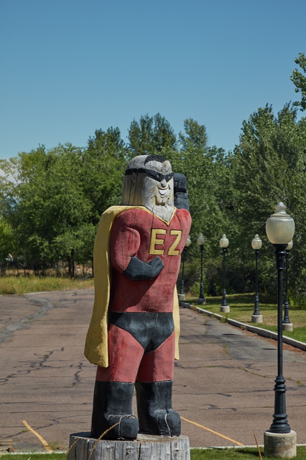

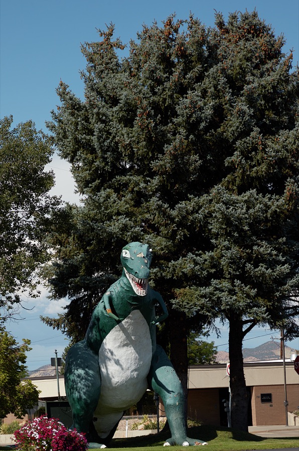
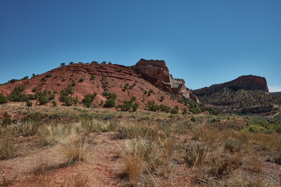
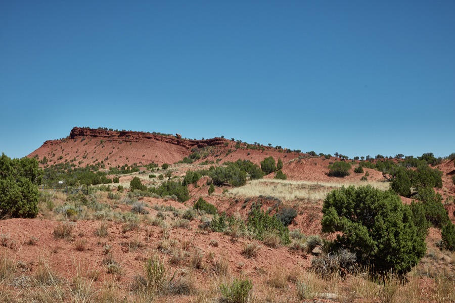
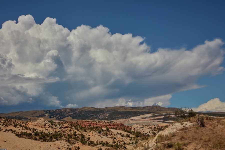
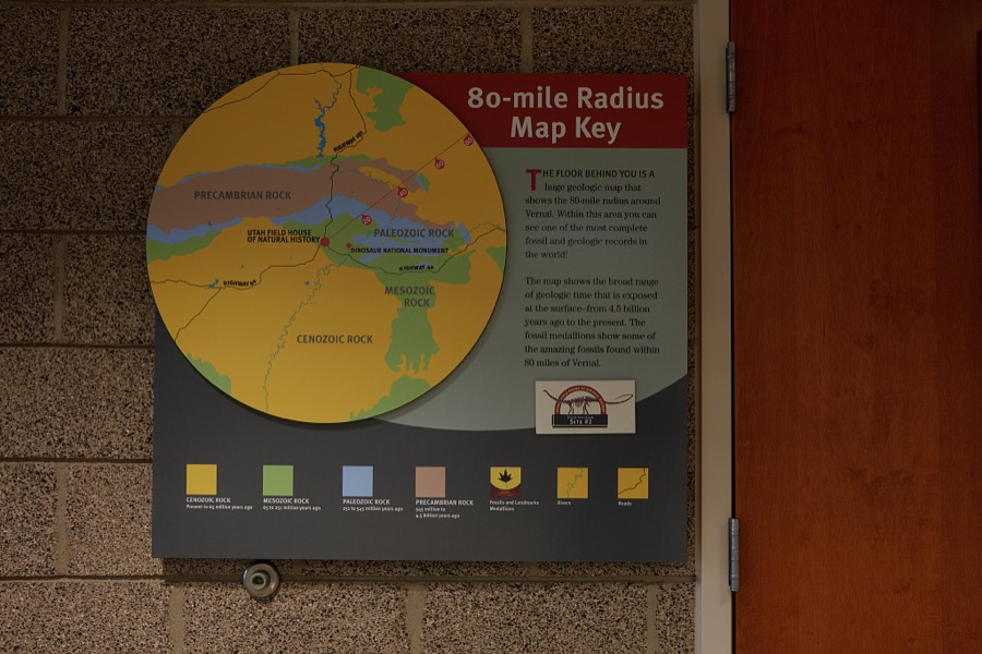
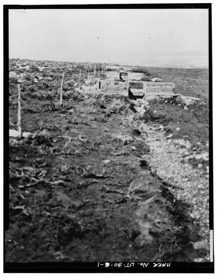
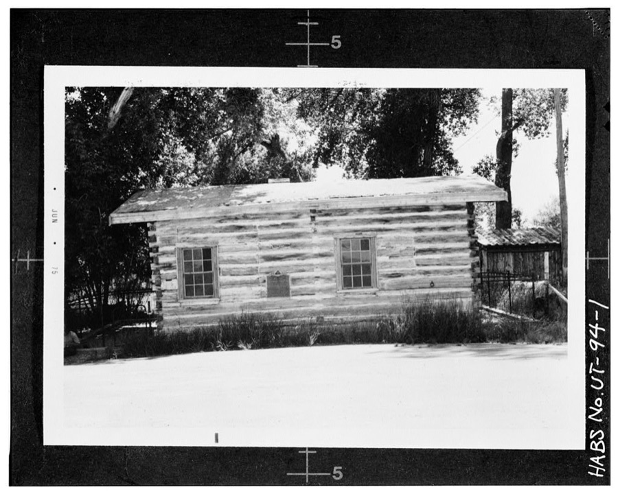
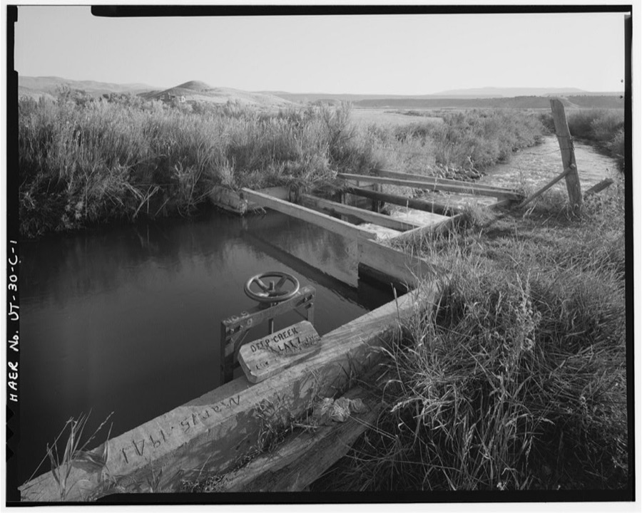
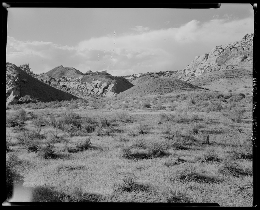
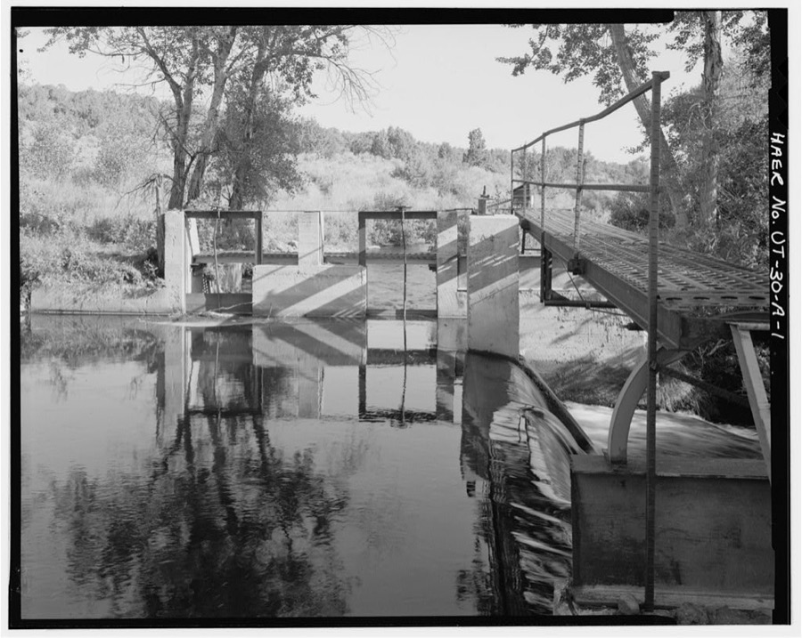
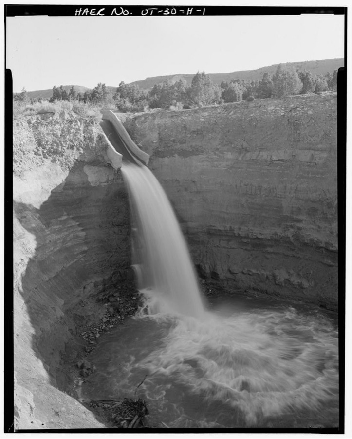
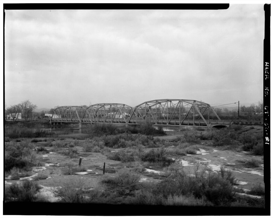
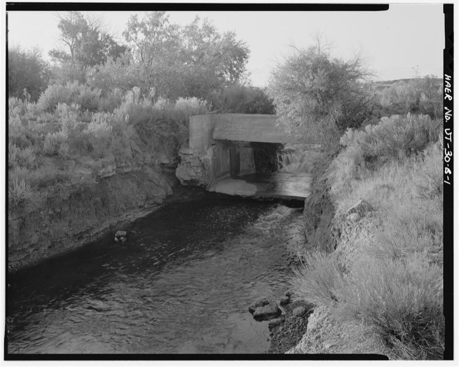
Every property in this county listed on the National Register of Historic Places, with the year it was listed and the federal nomination document.
| Photograph | Property | Type | Listed | Reference |
|---|---|---|---|---|
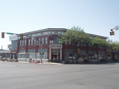 | Bank of Vernal | building | 2008 | 08001155 |
| Carter Road | district | 2001 | 00000354 | |
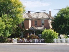 | Lewis Curry House | building | 1982 | 82004166 |
 | Dine-A-Ville Dinosaur | object | 2023 | 100009526 |
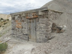 | Earl Douglass Workshop-Laboratory | building | 1986 | 86003400 |
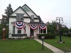 | Fenn-Bullock House | building | 1999 | 99000401 |
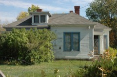 | Gibson-Sowards House | building | 1997 | 97001465 |
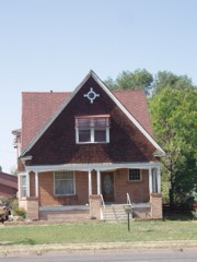 | Manfred and Ethel Martin House | building | 2004 | 04001422 |
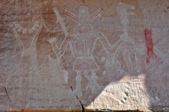 | McConkie Ranch Petroglyphs | site | 1975 | 75001828 |
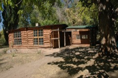 | Josie Bassett Morris Ranch Complex | district | 1986 | 86003394 |
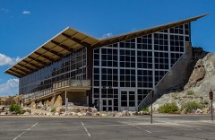 | Quarry Visitor Center | building | 1986 | 86003401 |
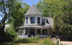 | William and Emily Siddoway House | building | 2006 | 06000231 |
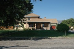 | Smith, Francis 'Frank' and Eunice, House | building | 2001 | 01000317 |
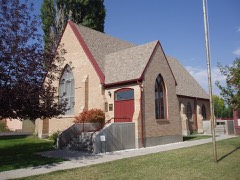 | St. Paul's Episcopal Church and Lodge | building | 1985 | 85000049 |
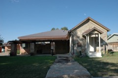 | Vernal Tithing Office | building | 1985 | 85000286 |
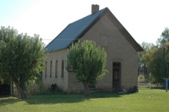 | Washington School-Vernal LDS Relief Society Hall | building | 2004 | 04001423 |
| Wong Sing Warehouse | building | 2024 | 100010522 |
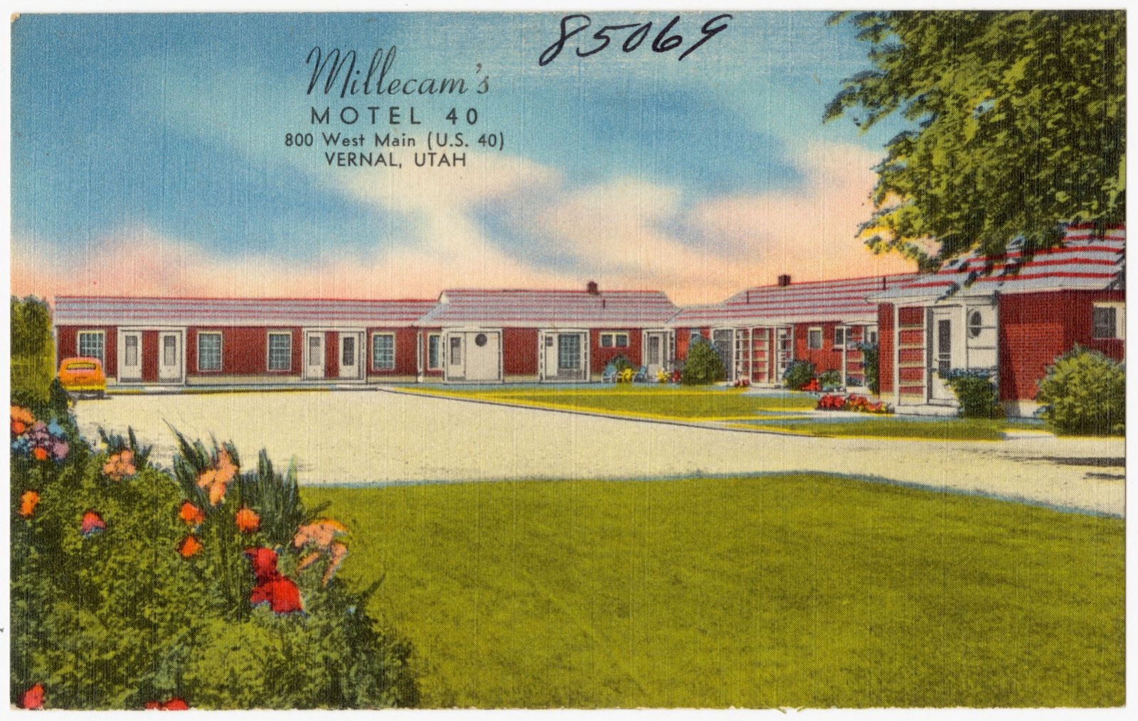
Selected from the Digital Public Library of America's 2 image records catalogued for this county. Every one shown here carries a public-domain status or a licence that permits reuse on a site that carries advertising; non-commercial, share-alike and restricted images are excluded. The selection is spread across the county's towns (at most eight per town), so no single institution's bulk upload crowds out the rest. Each opens the holding library's record, and the complete set at the Digital Public Library of America is one click away.
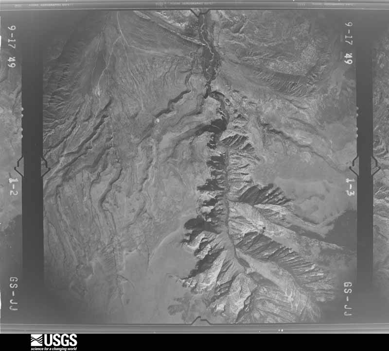
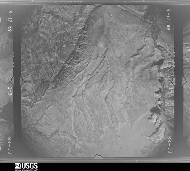
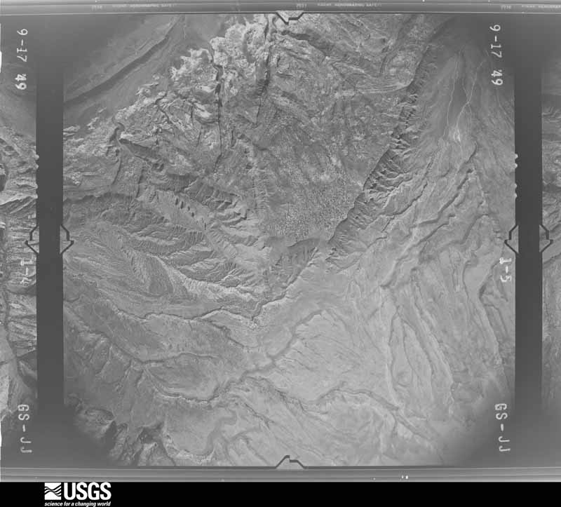
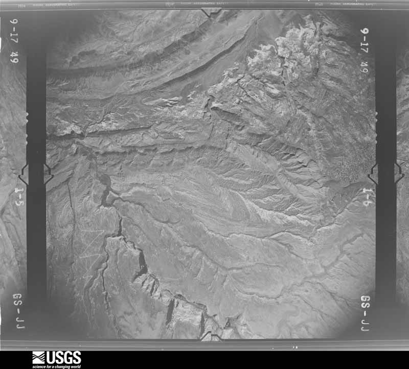
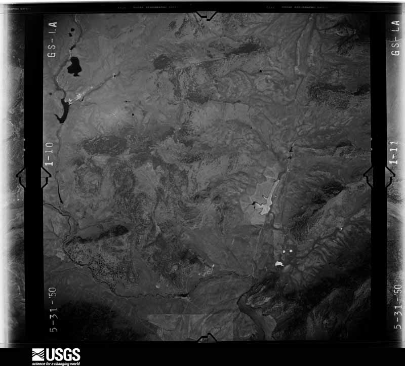
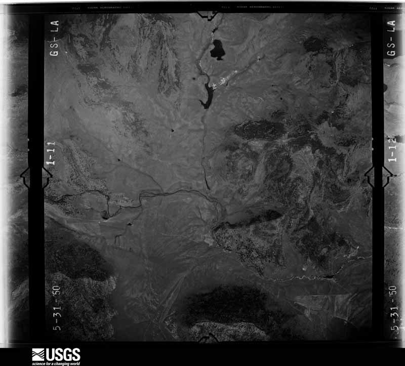
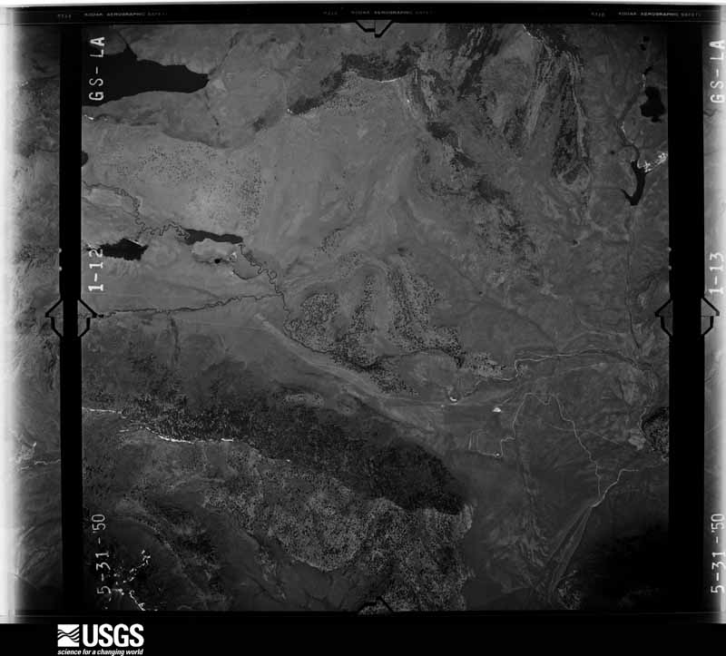
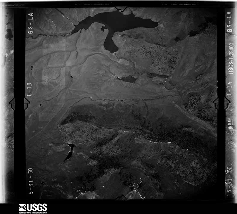
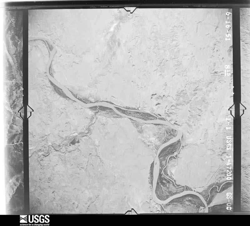
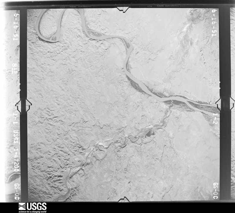
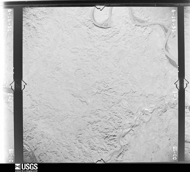
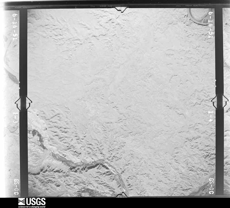
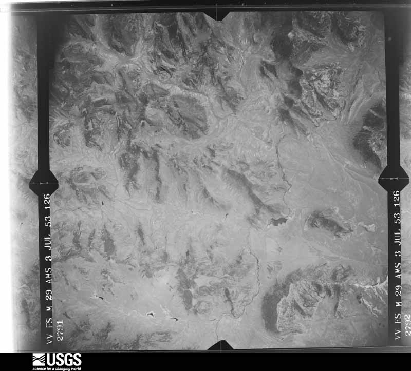
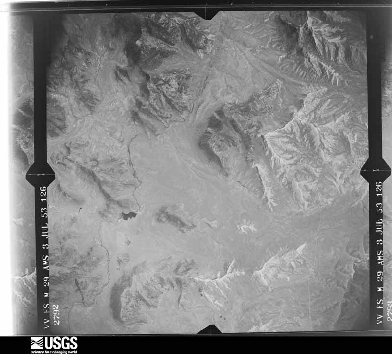
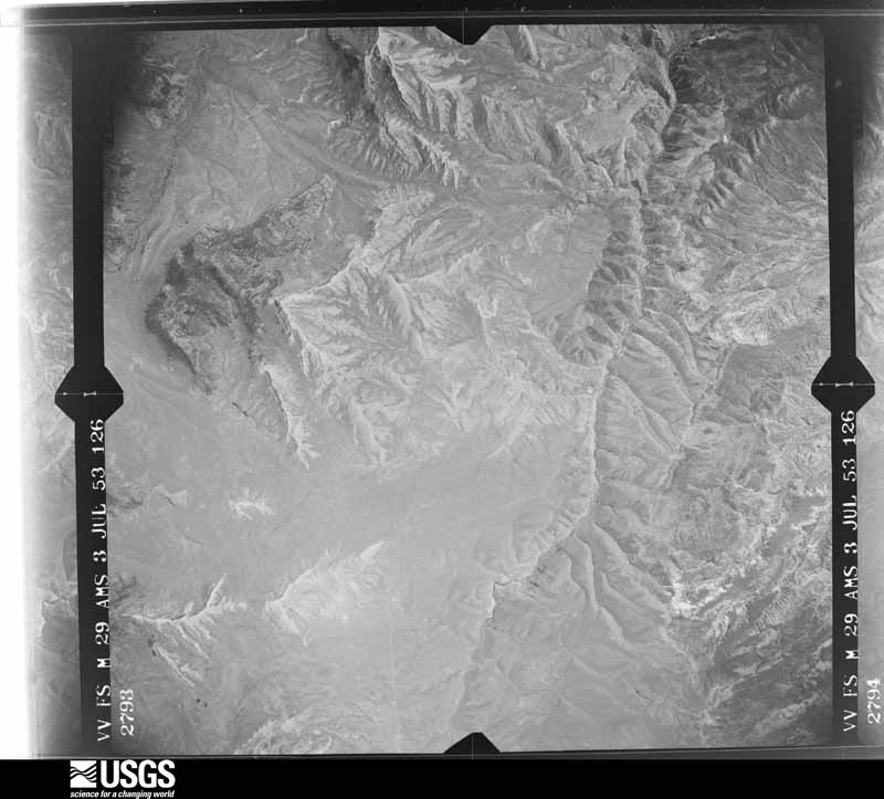
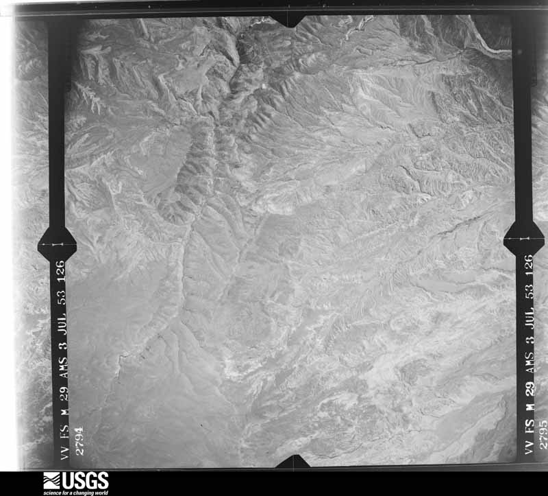
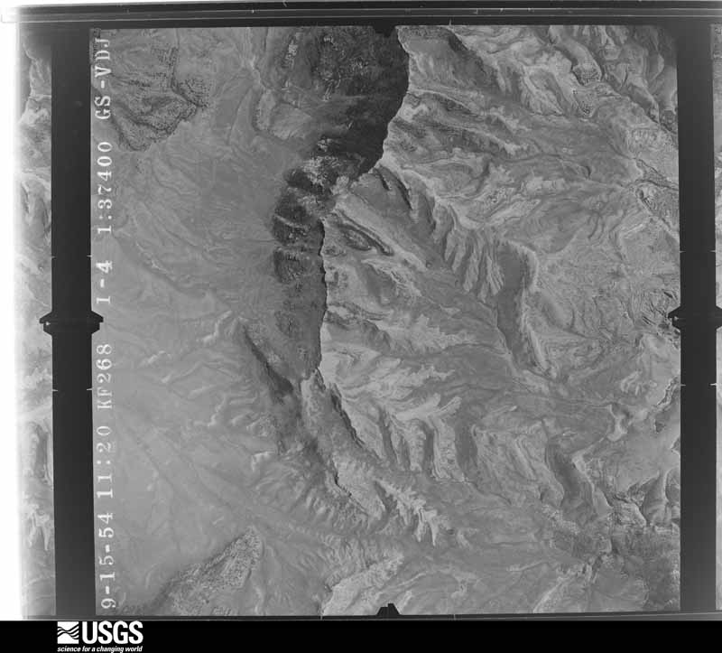
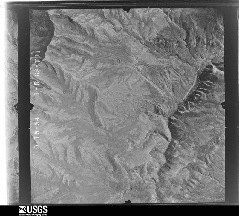
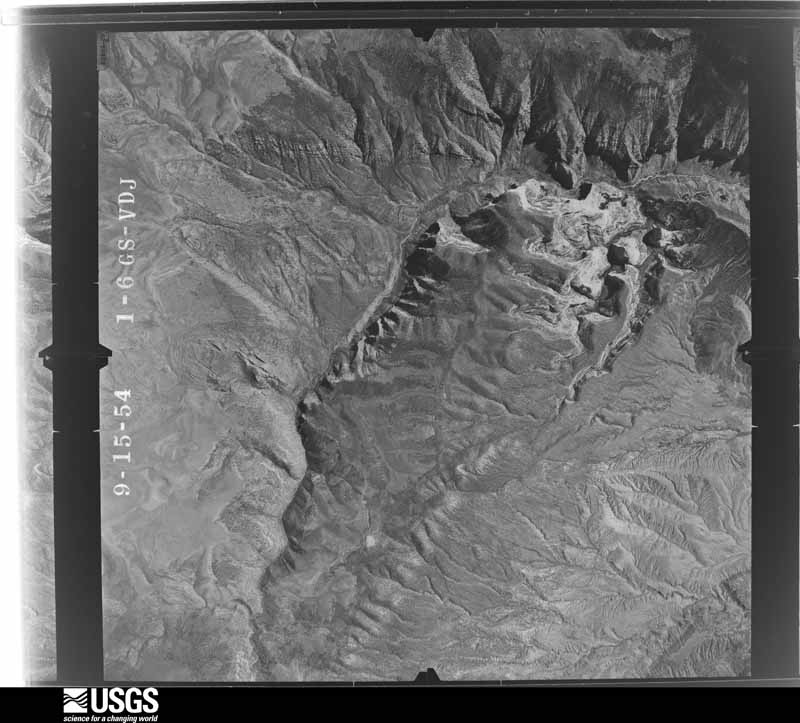
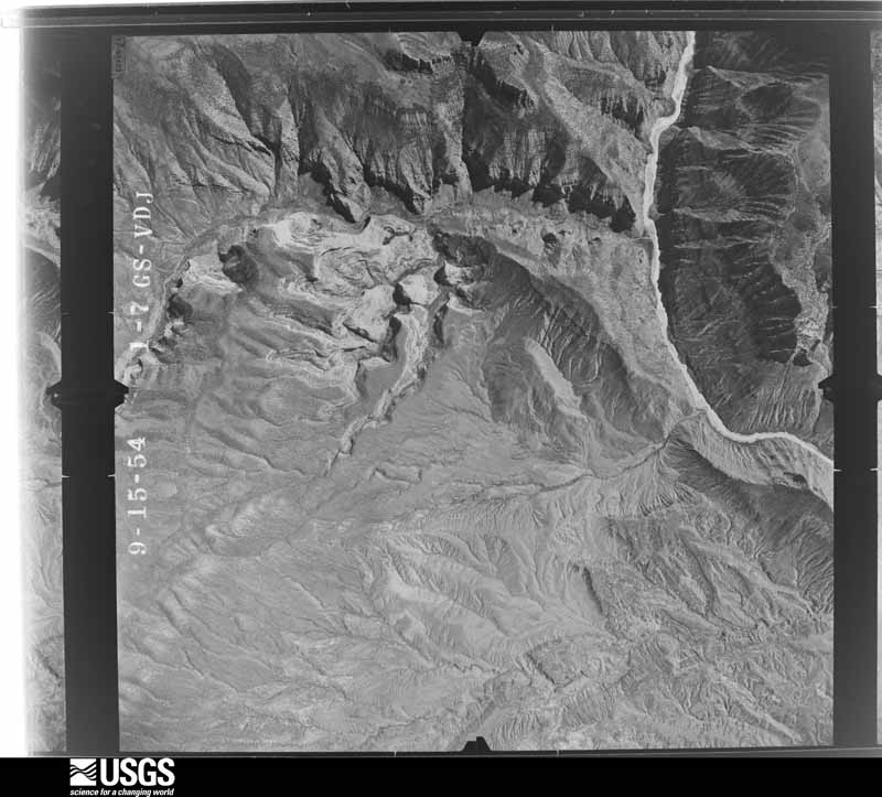
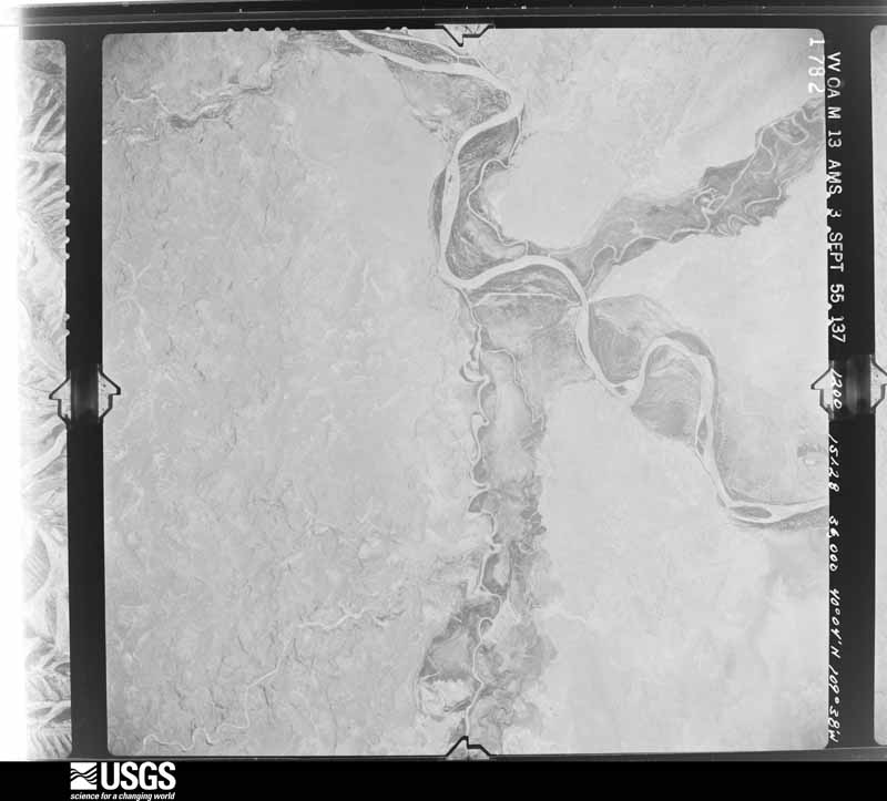
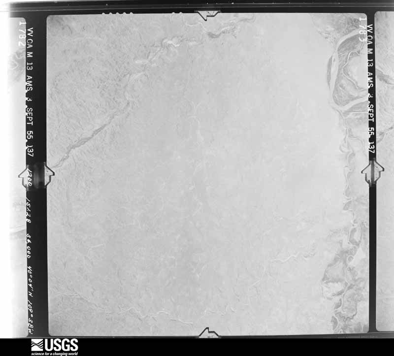
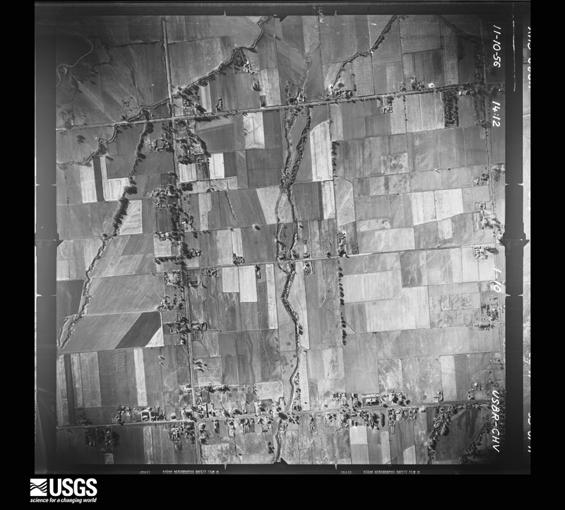
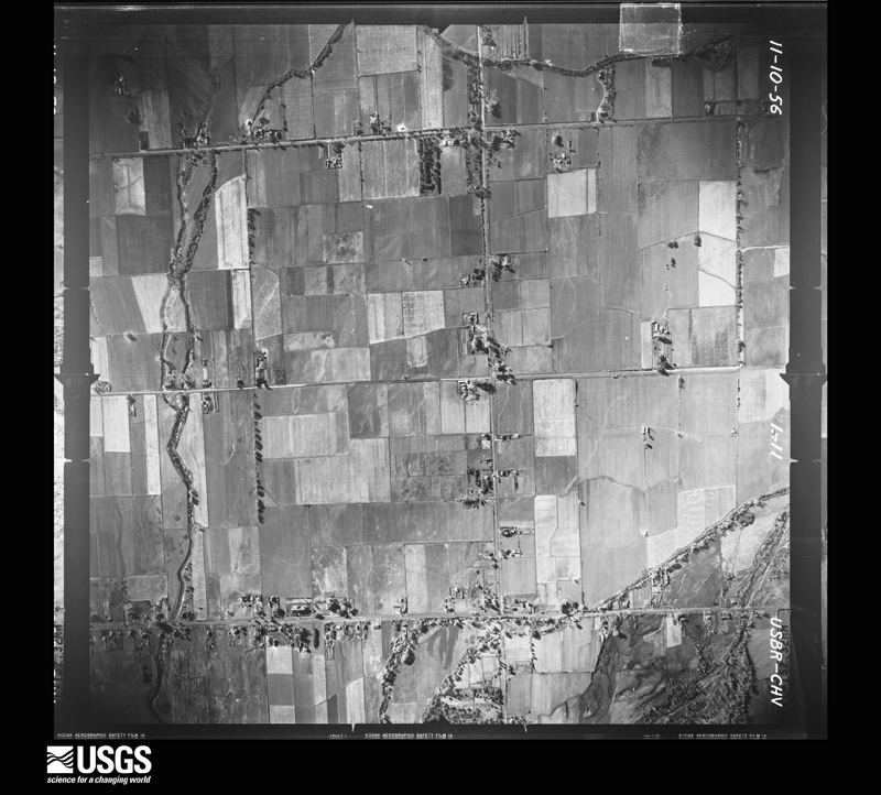
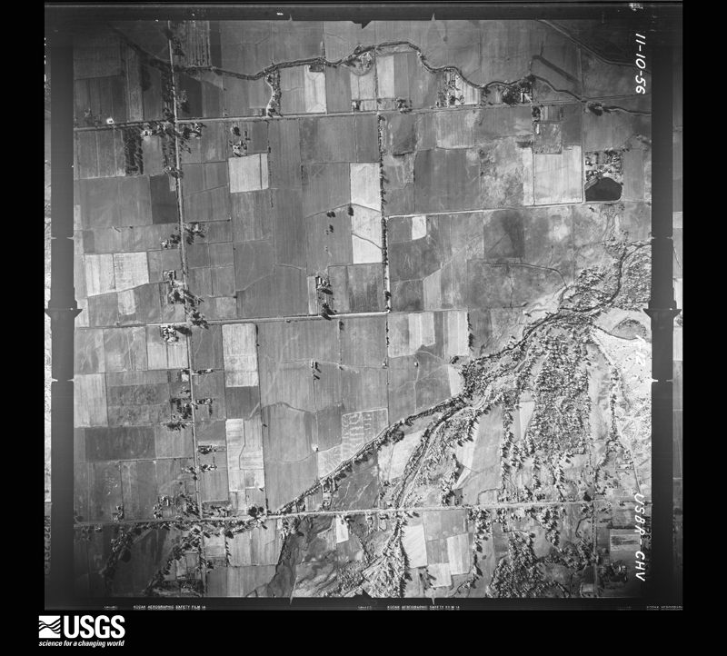
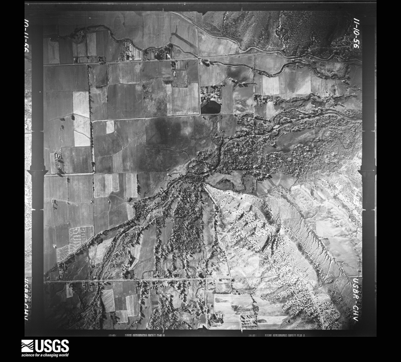
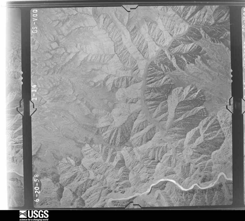
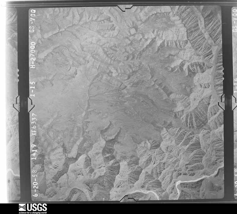
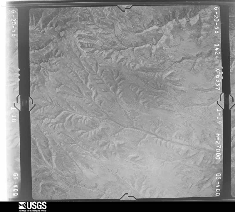
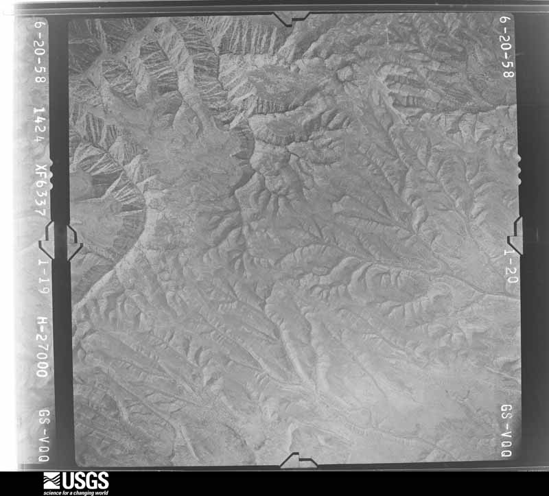
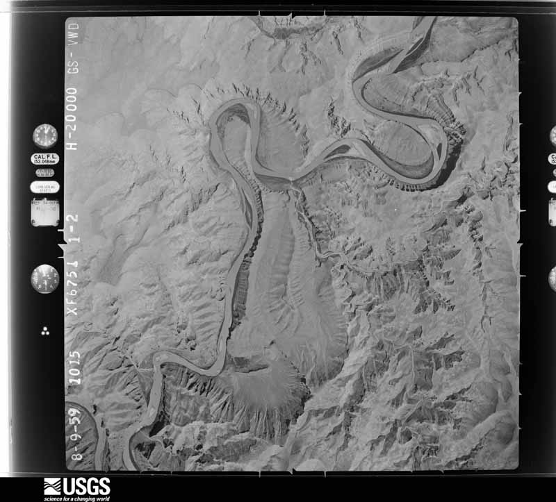
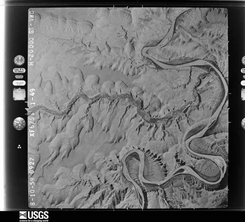
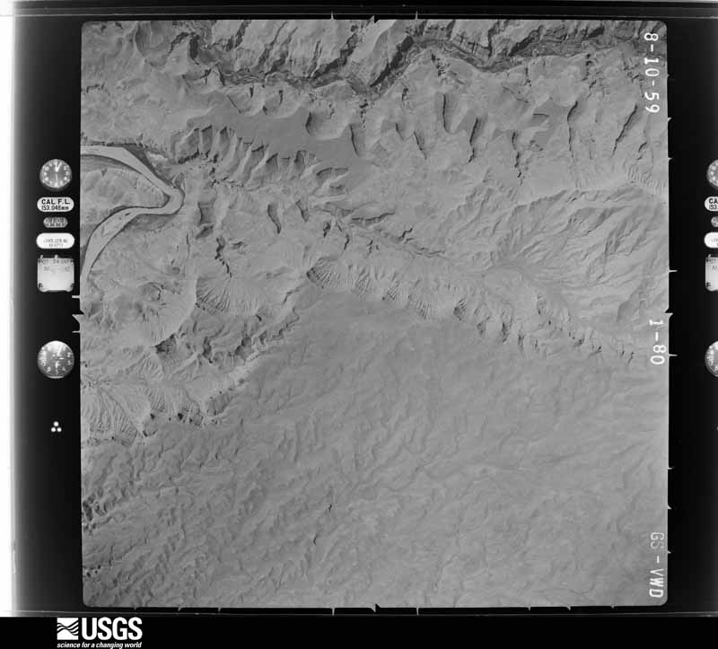
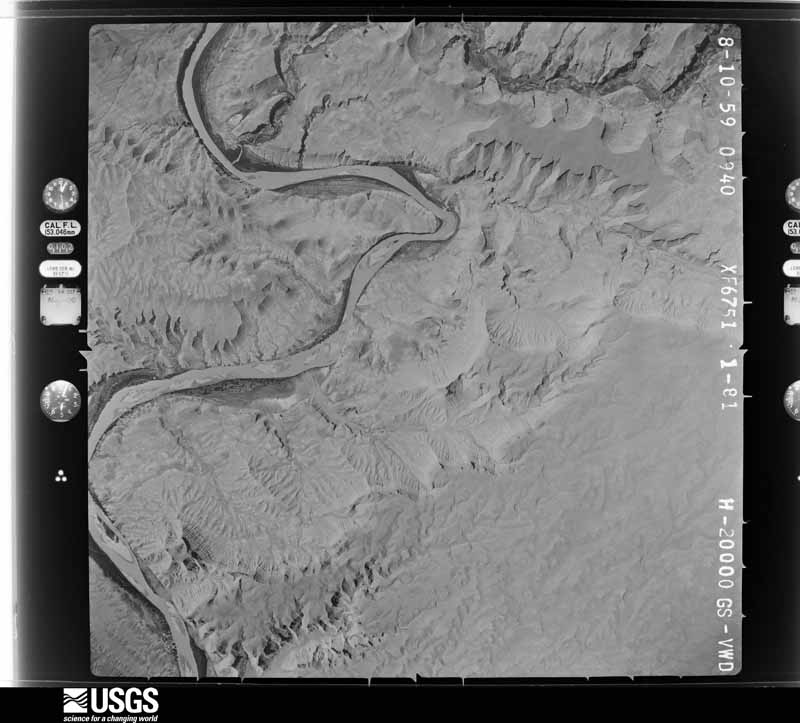
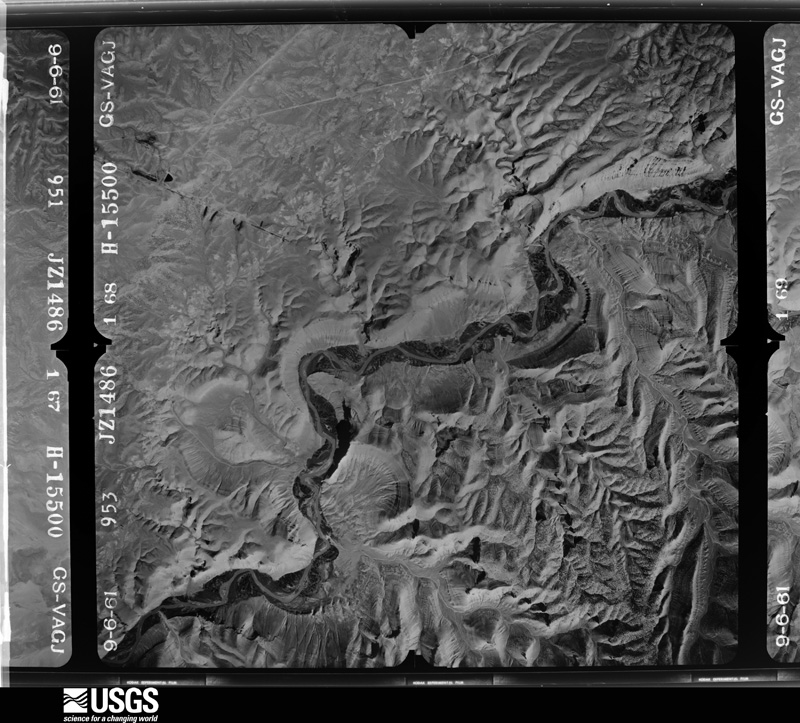
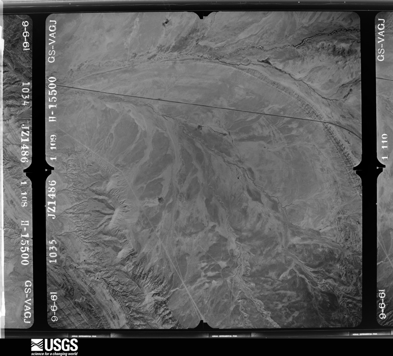
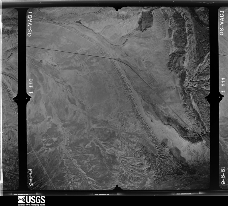
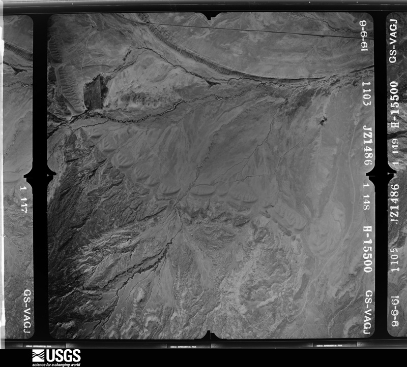
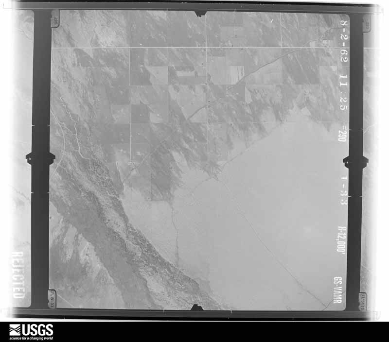
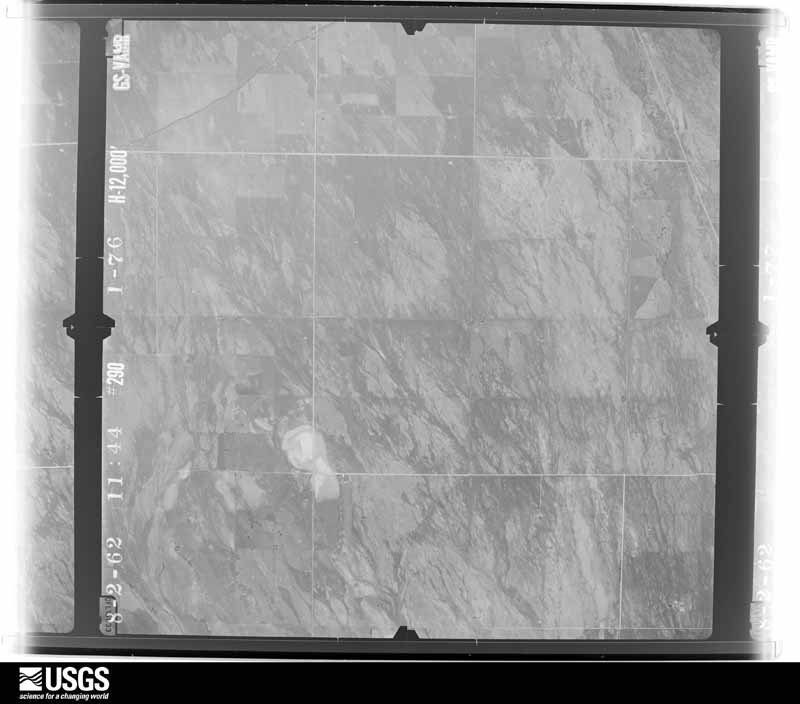
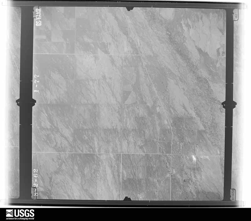
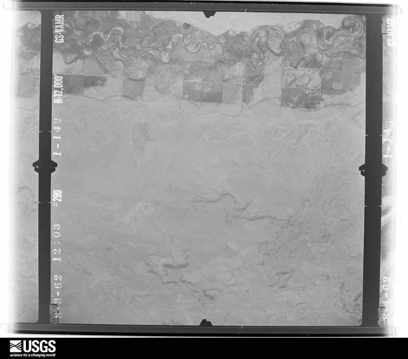
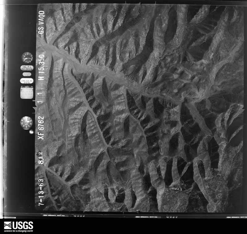
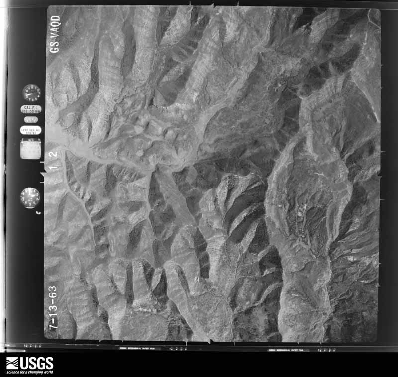
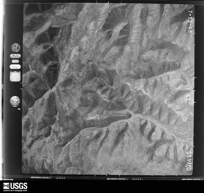
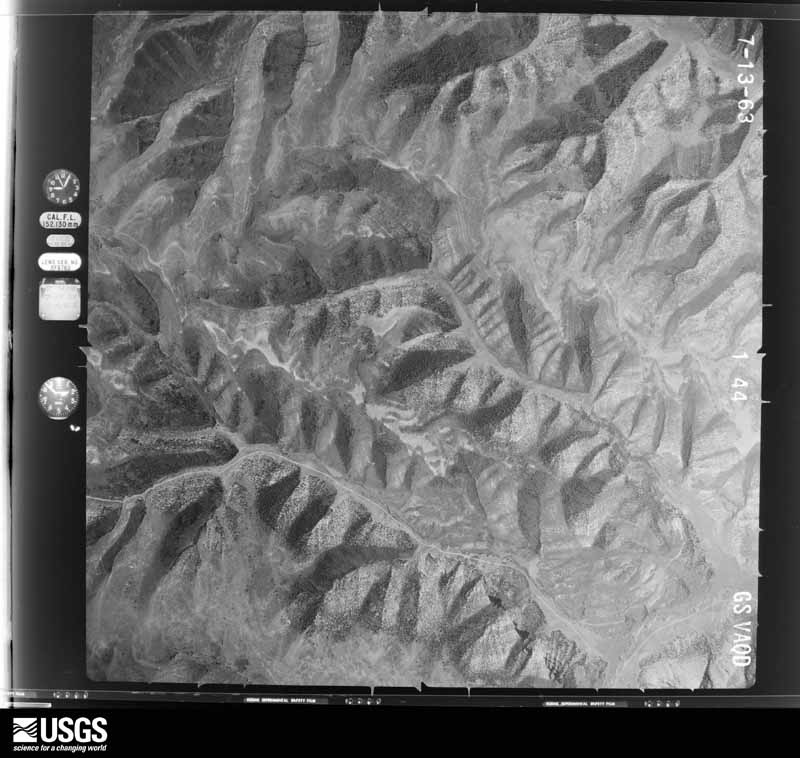
Flown by the U.S. Geological Survey between 1937 and 1989, the Aerial Photo Single Frames collection is the definitive mid-century view of the land: fields, roads and rivers as the camera saw them. The Survey holds 10,009 frames inside the rectangle that bounds this county; the 48 frames below were taken over the county itself, chosen across the decades of flights (at most four a year from that rectangle), so one flight cannot crowd out the rest. The full set is free to browse and download at EarthExplorer under the dataset Aerial Photo Single Frames.
The thermometers that kept this county's weather, and the gages that measured the flow of its streams, as the federal records hold them. The extremes below are measured values from those records, not estimates.
Who lived here in 1950, one enumeration district at a time, as the Census Bureau described each district. Each row opens its official National Archives result, with Population Schedules and ED Maps available there.
Every wildfire the federal occurrence database records inside this county: 2,078 of them, burning about 66,382 acres. 1,011 started naturally and 30 were recorded as arson. Each settlement page carries the fires within five miles of it.
| Reported cause | Fires |
|---|---|
| Natural | 1011 |
| Missing data/not specified/undetermined | 348 |
| Debris and open burning | 286 |
| Equipment and vehicle use | 140 |
| Recreation and ceremony | 70 |
| Fireworks | 68 |
| Misuse of fire by a minor | 59 |
| Smoking | 39 |
| Arson/incendiarism | 30 |
| Power generation/transmission/distribution | 23 |
| Firearms and explosives use | 4 |
The five largest, by the area the report gives. One of them was set deliberately.
| Date | Cause | Size | Reported by | Name on the report |
|---|---|---|---|---|
| 29 June 2012 | Natural | 20,049 acres | Vernal Field Office | WOLF DEN |
| 29 May 2000 | Natural | 3,642 acres | Vernal Field Office | SWEETWATER |
| 21 July 2009 | Natural | 3,115 acres | Vernal Field Office | RAT HOLE |
| 5 July 2014 | Missing data/not specified/undetermined | 2,862 acres | Vernal Field Office | TAYLOR MOUNTAIN ROAD |
| 31 August 2004 | Natural | 2,793 acres | Vernal Field Office | MAIL DRAW |
| 15 July 2009 | Natural | 2,602 acres | Vernal Field Office | BLIND CANYON |
| 16 June 2017 | Missing data/not specified/undetermined | 2,480 acres | Vernal Field Office | MACK SHAFT |
| 30 May 2017 | Arson/incendiarism | 2,423 acres | Vernal Field Office | MILE MARKER 166 |
Every settlement page carries the fires within five miles of it - see the settlement index below.
The NOAA Storm Events Database holds 109 reports for this county, causing no deaths, 1 injury and about $1,518,250 in recorded property damage. Each settlement page carries the reports that name it.
| Kind of event | Reports |
|---|---|
| Hail | 37 |
| Thunderstorm Wind | 34 |
| Flash Flood | 11 |
| Tornado | 8 |
| Heavy Rain | 6 |
| Funnel Cloud | 5 |
| Flood | 4 |
| Lightning | 2 |
| Wildfire | 2 |
The most serious of them, by death, then injury, then recorded damage. The accounts are quoted exactly as the forecast office filed them.
| When | Event | Place named | Harm | What the report says |
|---|---|---|---|---|
| September 1999 | Tornado (F1) | Naples | 1 hurt, $700,000 | no account filed |
| August 2009 | Hail | (Vel)Vernal Arpt | $100,000 | Golfball size hail struck the Naples area. Gardens and crops were decimated. Cars were dented and windows broken. Many houses and businesses incurred damage to siding and roofs, as well as broken windows. |
| August 2008 | Flash Flood | Ft Duchesne | $100,000 | Heavy rainfall on the south side of the Uinta Mountains produced widespread flash flooding across a large portion of Uintah County which extended from northwest to southwest of Vernal. Highway 40 southwest of Vernal was closed for a while due to flood waters across the road. Many other roads in the impacted area were covered extensively with debris, up to four feet deep in places. A portion of the Red Cloud Loop Road was washed out, with water flowing up to 10 feet deep and 15 feet wide. Raging water came down the streets of the Flake subdivision west of Maeser. Five homes had water in their basements and some had water in their garages, although most homes in the Flake subdivision are built up above the road. There was extensive damage to fences, trees, sheds, equipment, and landscaping in that subdivision. Debris also filled the sewer lines in the Maeser area. |
| May 1997 | Flash Flood | Vernal | $100,000 | no account filed |
| August 2021 | Flood | Maeser | $50,000 | Heavy runoff in the Maeser area led to some basements being flooded in town. |
| September 2016 | Flood | Ballard | $50,000 | The town of Vernal received 2.26 inches of rain while 2.59 inches was measured in Ballard from a persistent period of rainfall. There were numerous reports of flooding across the area. Some houses were flooded and many roads were inundated. Some streets were closed due to the flooding. |
| June 2011 | Flood | Jensen | $50,000 | Heavy runoff from record snowpack kept rivers and creeks across Unitah County running at elevated to over bankfull conditions through much of June. ||The Green River exceeded flood stage on June 1st at the Jensen river gage, briefly fell below this mark between the 2nd and the 3rd, and then returned to at least a minor flood stage through the end of the month. At it's peak, the Green River at Jensen rose to a moderate flood stage level from June 9th through June 20th. During these high flows, low land flooding was reported with some damage to irrigation equipment along the river banks. Oil and gas drilling had to be halted along the river due to the impact of the high water levels. Utah Highway 88 and Chipeta Grove Road was closed for over 2 weeks near Ouray. Up to a foot of water over Highway 88 was reported with 3 to 5 feet of water inundating Chipeta Creek Road. One residence near Ouray had to be evacuated due to encroaching flood water and another house had restricted access by the flood waters. One death was attributed to the increased flows when a kayak overturned and the kayaker could not be rescued. ||As temperatures continued to climb so did area rivers draining from the Eastern Uinta Mountains. Areal advisories and warnings were issued for much of the month of June for the Duchesne, White, White Rocks and Uinta rivers. These statements also covered may local creeks and streams that were out of their banks. The largest impact was to agricultural interests near these waterways with lowland pasture, farmland and isolated structures becoming inundated with water. Livestock and equipment had to be moved away from the flooded areas. A drinking water line that supplies areas of Unitah County had to be repaired from high water damage along the Duchesne River. Several mitigation projects needed to be done along the Uinta and White Rocks rivers and water crossed many secondary roads along the Unita River. |
| July 2011 | Flood | Jensen | $50,000 | The main stem of the Green River remained under flood conditions through July 4th, followed by lowering water levels through July 13th and included the stretch of the river from the confluence with the Yampa to near Ouray, Utah. The main impacts to the high flow was to agricultural interests due to damage of irrigation equipment and the inundation of ranch and pasture land. Oil and gas drilling operations were also negatively impacted by the high flows through early July. Smaller rivers and creeks continued to run above bankfull conditions through around July 9th, though the addition of rainfall in the middle of the month kept these waterways running high through late July. Again, the main impact was to pasture and ranch land near these rivers. |
| August 2009 | Tornado (EF0) | Leota | $40,000 | A tornado was observed by a number of people in the Pelican Lake area. The tornado was first seen as it came up over a hill just west of Pelican Lake. The tornado then traveled across Pelican Lake and turned white as it pick up water off the lake. On the east shore of the lake, the tornado tore up some trees and flipped over a trailer used for living quarters at a man camp. Nobody was in the trailer at the time of the event. |
| September 1999 | Hail | Naples | $40,000 | no account filed |
| September 2013 | Hail | Maeser | $30,000 | Large hail flattened gardens, dented a number of vehicles, and broke windows. |
| August 1999 | Thunderstorm Wind | Vernal | $30,000 | no account filed |
| July 2010 | Thunderstorm Wind | Leeton | $25,000 | Thunderstorm winds extended across a large portion of the eastern Uintah Basin and brought down numerous trees and power lines. Downed trees in the Lapoint area damaged a vehicle and home. Small hail was also reported with this line of storms, as well as numerous small lightning caused fires. |
| August 2014 | Flash Flood | Maeser | $20,000 | Flash flooding occurred in a residential section of Maeser, with street flooding also reported in nearby areas. Most of the flood damage occurred to landscaping. |
| August 2014 | Flash Flood | Maeser | $20,000 | Several residences in the western portion of Maeser experienced flash flooding, and street flooding was reported in much of Maeser. A road was also washed out in Dry Fork Canyon to the north of town. |
| May 2014 | Hail | Maeser | $20,000 | Hailstones up to the size of ping pong balls fell across sections of the Maeser area. Minor damage was reported mainly to vehicles. |
| September 2013 | Hail | Vernal | $20,000 | Large hail flattened gardens, dented a number of vehicles, and broke some windows. |
| June 2009 | Hail | Jensen | $20,000 | Golf ball size hail struck an area of US Highway 40 southeast of Jensen. Some vehicles and camper trailers sustained damage. |
| August 2009 | Flash Flood | Randlett | $12,000 | Heavy rainfall resulted in flash flooding in the Randlett area. Fast flowing water from 1 to 3 feet deep washed out several driveways and cut a deep gully across a road that branches off of 7500 East. Many agricultural fields were flooded, inundating irrigation sprinkler systems. |
| September 2014 | Thunderstorm Wind | Naples | $10,000 | Severe thunderstorm gusts brought down power lines and snapped off large tree limbs in excess of 6 inches in diameter. |
| May 2000 | Lightning | Ballard | $10,000 | no account filed |
| June 1998 | Flash Flood | Ft Duchesne | $5,000 | no account filed |
| June 1998 | Flash Flood | Ft Duchesne | $5,000 | no account filed |
| May 2005 | Lightning | Ballard | $3,000 | no account filed |
| May 1988 | Tornado (F0) | not stated | $2,500 | no account filed |
| June 1955 | Tornado | not stated | $2,500 | no account filed |
| August 2009 | Tornado (EF0) | Vernal | $1,000 | A tornado tracked through a small section of Vernal, mostly staying between houses. A number of trees had large limbs broken off and some minor damage occurred to sheds. The tornado was seen by many area residents and photographed by at least three persons. |
| July 1999 | Thunderstorm Wind | Jensen | $1,000 | no account filed |
| July 1998 | Flash Flood | Vernal | $1,000 | no account filed |
| March 1990 | Tornado (F0) | not stated | $250 | no account filed |
| September 2025 | Thunderstorm Wind | Maeser | - | At 4:50 PM MDT, the mesonet site PC353 Vernal West recorded a wind gust to 58 mph. This was associated with a passing thunderstorm that also produced a wind gust to 48 mph at the KVEL ASOS at Vernal Airport, on the other side of town. No reports of damages, injuries, or fatalities were received. |
| July 2025 | Thunderstorm Wind | (Vel)Vernal Arpt | - | A strong thunderstorm over the Eastern Uinta Mountains produced outflow winds up to 59 mph, which was a measured peak wind gust at the Vernal Regional Airport at 1444 MST. |
| September 2025 | Hail | Whiterocks | - | At 1322 MST on September 16, a trained spotter reported 1 inch diameter hail 9 miles ESE of Whiterocks, Utah. |
| August 2024 | Thunderstorm Wind | Rainbow | - | Showers and thunderstorms formed over the higher terrain of northeastern Utah on the afternoon of August 7. As these storms developed, there were enhanced by some upper level support in the form of a passing wave and an upper level jet. This allowed the storms to grow strong enough to potentially produce severe threats, such as wind in excess of 58 mph and hail in excess of 1 inch. Additionally, dry surface layers would enhance already potentially strong outflow winds. All this combined to produce a 90 mph gust at the Winter Ridge RAWS, located in the Utah Tavaputs Plateau. No reports of damage or injuries were received. |
| August 2024 | Thunderstorm Wind | Leota | - | With just enough moisture to work with, showers and thunderstorms began to form on the higher terrain around the Uinta Basin early in the afternoon of August 7. These storms received some upper level support in the form of a passing shortwave and a modest upper level jet, which allowed them to become strong to severe. In addition, dry surface levels acted to boost already strong to severe winds. Winds recorded during this event ranged from 45 mph to the peak of 64 mph, which was recorded at a Utah State Climate Mesonet Site 9.1 miles east of Randlett. No reports of damage or injuries were received. |
| June 2024 | Thunderstorm Wind | Dragon | - | Whenever enough moisture and instability is present, a thunderstorm forms along the Utah Tavaputs near the McCook Ridge RAWS site. On this day, this RAWS site captured a wind gust to 81 mph at 1:27 MDT from the nearby thunderstorm. This storm also likely produced some small hail, although the remoteness of the location makes verification of that exceptionally difficult. |
| July 2024 | Thunderstorm Wind | (Vel)Vernal Arpt | - | Showers and thunderstorms initially formed over the adjacent higher terrain of the eastern Uinta Mountains, before drifting over the Uinta Basin. As these storms moved over the town of Vernal, they produced wind gusts of 45-60 mph. The peak wind gust of 60 mph was recorded at the KVEL ASOS at Vernal Airport. No reports of damage or injury were received. |
| June 2024 | Thunderstorm Wind | (Vel)Vernal Arpt | - | A strong to severe thunderstorm moved through Vernal on the afternoon of the 21st, producing some strong wind gusts. The only severe wind gust recorded with this event was the 72 mph gust recorded at KVEL ASOS at the Vernal Airport at 4:12 PM MDT. No reports of wind damage were received with this event. |
| August 2024 | Hail | Naples | - | A strong thunderstorm passed over Naples area in Uintah County and produced hail up to nickel size. |
| July 2023 | Hail | Maeser | - | Quarter-sized hail fell 1 mile west-northwest of Maeser in Uintah County. |
| July 2023 | Thunderstorm Wind | Vernal | - | A peak wind gust of 68 MPH was measured by the automated weather station at the Vernal Regional Airport. |
| July 2023 | Thunderstorm Wind | Maeser | - | A peak wind gust of 59 MPH was measured by the automated weather station at Asphalt Ridge, 3 miles southwest of Vernal. |
| July 2020 | Thunderstorm Wind | Vernal | - | A peak wind gust of 59 mph was measured by the automated weather station at the Vernal Regional Airport. |
| June 2020 | Hail | Dragon | - | A severe thunderstorm produced large hail estimated to be the size of quarters on the Seep Ridge Wildfire. |
| June 2020 | Thunderstorm Wind | Jensen | - | A peak wind gust of 74 mph was measured by the Diamond Rim automated weather station. |
| June 2020 | Thunderstorm Wind | Dragon | - | A peak wind gust of 72 mph was measured by the McCook Ridge automated weather station. |
| June 2020 | Thunderstorm Wind | Dragon | - | A peak wind gust of 68 mph was measured by the P.R. Canyon automated weather station. |
| June 2020 | Thunderstorm Wind | Ouray | - | A peak wind gust of 66 mph was measured by the Wildhorse automated weather station. |
| August 2018 | Hail | Vernal | - | Multiple trained spotters and members of the public observed nickel-sized hail in Vernal, mainly in the northwest portion of the city and in the downtown area. |
| August 2018 | Hail | Maeser | - | Penny-sized hail was observed northwest of Maeser. |
| August 2018 | Thunderstorm Wind | (Vel)Vernal Arpt | - | The automated weather station at the Vernal Regional Airport recorded a peak wind gust of 59 MPH. |
| August 2018 | Heavy Rain | Maeser | - | A thunderstorm produced heavy rainfall over northern Uintah County. As a result, localized small stream flooding occurred on the west side of Maeser near Service Road 121 in the Yellow Hill area. |
| July 2018 | Thunderstorm Wind | Jensen | - | A high-based thunderstorm produced strong outflow winds. |
| May 2015 | Funnel Cloud | Randlett | - | A funnel cloud was reported with a severe thunderstorm moving into far western Uinta County near the Leland Bench and Pelican Lake area. |
| June 2015 | Tornado (EF0) | Dry Fork | - | The supercell thunderstorm which produced strong damaging outflow winds in Daggett County moved into nearby Uintah County and spawned a funnel cloud which was observed for well over 5 minutes before the rotation made contact with the ground. The tornado remained over open country during its existence. Although the rotation was on the ground for about 9 minutes, it was estimated to have only traveled about one mile during that time. After the rotation lifted off the ground, the funnel cloud persisted for at least another 5 minutes. |
| June 2015 | Hail | Whiterocks | - | Quarter-size hail was reported on top of Whiterocks Mountain. The hail accumulated to 3 inches deep in some areas. |
| September 2014 | Funnel Cloud | Naples | - | A couple from Kansas observed and recorded a funnel cloud from a strong thunderstorm with rotation. An elevated ridgeline existed between the funnel and the eyewitnesses, such that the base of the funnel cloud extended below the ridgeline which prevented any determination of how close the rotation may have gotten to the ground. |
| September 2013 | Flash Flood | Dry Fork | - | Several areas of flash flooding were observed along Highway 191. |
| September 2013 | Hail | Vernal | - | Hail accumulated up to two inches deep on Highway 191 and minor flooding was reported in the area. |
| June 2011 | Thunderstorm Wind | Little Bonanza | - | Thunderstorm winds gust to 60 mph were accompanied by pea size hail at Bonanza. |
The Survey's mineral resources record lists 229 workings inside this county. 50 still produce and 179 are closed or unrecorded. Each settlement page carries the workings within five miles of it.
| Commodity | Workings |
|---|---|
| Sand and Gravel, Construction | 88 |
| Uranium | 59 |
| Phosphorus-Phosphates | 19 |
| Copper | 14 |
| Oil Sands | 9 |
| Iron | 8 |
| Uranium, Copper | 5 |
| Copper, Uranium | 4 |
| Gold | 4 |
| Vanadium | 4 |
| Limestone, Dimension | 3 |
| Molybdenum | 2 |
| Limestone, General | 2 |
| Gypsum-Anhydrite | 2 |
The least common of them first, because a county's hundredth gravel pit says nothing its first ten did not.
| Where | Site | Commodity | Status | Recorded |
|---|---|---|---|---|
| Brush Creek Mines | Lead, Zinc, Silver | Past Producer | Replacement | |
| Brush Creek Mines | Silver, Lead | Prospect | Underground | |
| Desert Queen | Rock Asphalt, Copper | Occurrence | 1967 | |
| Desert Queen | Copper, Gilsonite | Prospect | ||
| Dyer Mine | Gold, Copper | Producer | ||
| Little Brush Creek Prospects | Lead | Occurrence | Replacement | |
| Silver King | Lead, Zinc, Copper, Silver, Gold | Past Producer | Replacement | |
| Silver King Mine | Zinc, Silver, Lead, Gold, Copper | Past Producer | Surface, Underground | |
| Split Mountain Warm Spring | Geothermal | Unknown | ||
| Tokay No. 9 | Stone | Occurrence | ||
| Unknown | Gold, Iron | Occurrence | Replacement | |
| Vernal Mine | Phosphorus-Phosphates, Vanadium, Uranium, Fluorine-Fluorite | Producer | 1915, 1961 | |
| Willow Creek Prospect | Uranium, Phosphorus-Phosphates | Occurrence | ||
| Carbonate-Dyer Mine | Copper, Silver | Occurrence | ||
| Cow Hollow Prospect | Iron, Copper | Occurrence | Hematite, Limonite, Malachite | |
| Cow Hollow Prospect | Iron, Copper | Occurrence | ||
| Dyer Mine | Copper, Silver | Past Producer | 1887, 1897 | |
| Hatch Manganese Prospect | Manganese | Occurrence | Replacement | |
| Horseshoe Bend | Gold, Platinum | Past Producer | Stream Placer | |
| Jensen Draw Claim | Uranium, Vanadium | Occurrence | ||
| Manganese Deposit | Manganese | Occurrence | Replacement | |
| Ouray | Molybdenum | Occurrence | Ilsemannite | |
| Snow Claims | Uranium, Vanadium | Occurrence | Surface | |
| Split Mountain Gorge | Gold, Platinum | Occurrence | Stream Placer | |
| Steinaker Draw Gypsum Deposit | Gypsum-Anhydrite | Occurrence | Gypsum | |
| Steinaker Draw Gypsum Deposit | Gypsum-Anhydrite | Prospect | ||
| The V Sandstone Quarry | Stone, Crushed/Broken | Past Producer | Sandstone | |
| The V Sandstone Quarry | Stone, Crushed/Broken | Producer | ||
| Unknown | Limestone, General | Occurrence | Limestone | |
| Unknown | Limestone, General | Occurrence | Limestone | |
| Utarado Mining Co. | Molybdenum, Vanadium | Occurrence | Ilsemannite | |
| Mosby Park Mine | Limestone, Dimension | Prospect | ||
| Unknown | Limestone, Dimension | Producer | ||
| Unknown | Limestone, Dimension | Producer | ||
| Bonniebell Claims | Uranium, Vanadium | Occurrence | Surface/Underground | |
| Colute Claims | Uranium, Vanadium | Occurrence | Stratiform | |
| Gold Deposits | Gold | Past Producer | Placer | |
| Gold Deposits | Gold | Past Producer | Placer | |
| Green Rock | Copper, Uranium | Occurrence | Malachite, Uraninite | |
| Unknown | Copper, Uranium | Occurrence | Malachite, Uraninite | |
| Unknown | Copper, Uranium | Prospect | ||
| Unknown | Copper, Uranium | Prospect | ||
| Unknown No. 23 Uranium Prospect | Uranium, Vanadium | Occurrence | ||
| Myton # 2 | Uranium, Copper | Prospect | ||
| Myton #2 | Uranium, Copper | Occurrence | Malachite | |
| Unknown | Uranium, Copper | Occurrence | Malachite | |
| Unknown | Uranium, Copper | Occurrence | Replacement | |
| Unknown | Uranium, Copper | Prospect | ||
| Black Canyon Prospects | Iron | Occurrence | Goethite, Limonite | |
| Dry Fork Prospects | Iron | Occurrence | Goethite, Hematite, Limonite | |
| Hatch Iron Deposit | Iron | Occurrence | Replacement | |
| Mosby Park Mine | Iron | Prospect | Replacement | |
| Pope Iron Mine | Iron | Past Producer | Replacement | |
| Pope Iron Mine | Iron | Prospect | 1887, 1888 | |
| Wild Mountain Prospects | Iron, Copper | Occurrence | Replacement | |
| Woodside Mine | Iron | Prospect | 1913 | |
| Asphalt Ridge Deposit | Oil Sands | Past Producer | 1895 | |
| Asphalt Ridge Nw Oil Sands Deposit | Oil Sands | Prospect | Sand | |
| Chapita Wells Oil Impregnated Rock Deposit | Oil Sands | Occurrence | ||
| Hill Creek Oil Impregnated Sandstone Deposit | Oil Sands | Prospect | Sandstone | |
| P. R. Spring Oil Sand Deposit | Oil Sands | Prospect | 1951 | |
| Raven Ridge Oil Impregnated Sandstone | Oil Sands | Occurrence | Sandstone | |
| Spring Hollow Tar Sand | Oil Sands | Occurrence | Stratiform | |
| Upper Kane Hollow Tar Sand | Oil Sands | Occurrence | Stratiform | |
| Whiterocks Deposit | Oil Sands | Past Producer | Surface/Underground | |
| Ash Mine | Uranium, Copper | Occurrence | Malachite | |
| Canary Bird Uranium Occurrence | Uranium, Copper | Past Producer | Carnotite | |
| Eureka & Uranium Occurrence | Uranium, Copper | Past Producer | Carnotite | |
| Eureka 2 Uranium Occurrence | Uranium, Copper | Occurrence | Malachite | |
| Stain No. 1 Uranium Occurrence | Uranium, Copper | Past Producer | Carnotite | |
| Stain No. 2 Uranium Occurrence | Uranium, Copper | Past Producer | Carnotite | |
| Unknown | Copper | Occurrence | Replacement | |
| Unknown | Copper | Occurrence | Malachite | |
| Unknown | Copper | Occurrence | Replacement | |
| Unknown | Copper | Prospect | ||
| Unknown | Copper | Unknown | ||
| Unknown | Copper | Prospect | ||
| Unknown No. 9 Uranium Occurrence | Uranium, Copper | Occurrence | ||
| Ashley - Brush - Little Brush Creek Phosphate Deposit | Phosphorus-Phosphates | Past Producer | 1915, 1961 | |
| Ashley Phosphate Deposit | Phosphorus-Phosphates | Producer | ||
| Blue Knolls No. 28 Prospect | Uranium, Phosphorus-Phosphates | Occurrence | ||
| Phosphate Deposit Seg. 1 | Phosphorus-Phosphates | Occurrence | Apatite | |
| Phosphate Deposit Seg. 2 | Phosphorus-Phosphates | Prospect | MARINE SEDIMENTARY | |
| Phosphate Deposit Seg. 4 | Phosphorus-Phosphates | Prospect | MARINE SEDIMENTARY | |
| Phosphate Deposits Seg 3 | Phosphorus-Phosphates | Producer | Apatite | |
| Rock Springs Prospect | Uranium, Phosphorus-Phosphates | Occurrence | ||
| Split Mtn. Phosphate Deposit | Phosphorus-Phosphates | Occurrence | Collophane | |
| Vernal Field #1 | Phosphorus-Phosphates | Plant | 1914 | |
| Vernal Field #2 | Phosphorus-Phosphates | Plant | 1914 | |
| Vernal Field #3 | Phosphorus-Phosphates | Prospect | 1914 | |
| Vernal Field #4 | Phosphorus-Phosphates | Prospect | 1914 | |
| Vernal Field #5 | Phosphorus-Phosphates | Prospect | 1914 | |
| Vernal Field Combined | Phosphorus-Phosphates, Uranium | Prospect | 1914 | |
| West Ashley Creek Phosphate Deposit | Phosphorus-Phosphates | Occurrence | ||
| West Ashley Creek Phosphate Deposit | Phosphorus-Phosphates | Prospect | ||
| White Rock No. 11 Prospect | Uranium, Phosphorus-Phosphates | Occurrence | ||
| Bean Draw Prospect | Uranium | Occurrence | ||
| Blackie 1 | Uranium | Unknown | ||
| Blackie 1 Mine | Uranium | Occurrence | Replacement | |
| Blue Knolls | Uranium | Prospect | ||
| Blue Sky 1 | Uranium | Unknown | Surface, Underground | |
| Blue Sky No. 1 | Uranium | Occurrence | ||
| Bonniebell Claims | Uranium | Unknown | Surface | |
| Brenda Group | Uranium | Past Producer | Underground | |
| Brenda Uranium Deposit. | Uranium | Occurrence | ||
| Canary Bird | Uranium | Unknown | ||
| Canary Bird-Eagle Nest-Eureka | Uranium | Occurrence | ||
| Chief Ouray No. 1 Prospect | Uranium | Occurrence | ||
| Cliff Creek Prospect | Uranium | Prospect | ||
| Devil and Satan Deposits | Uranium | Occurrence | ||
| Devil's Claims | Uranium | Occurrence | ||
| Devils #2 | Uranium | Unknown | Underground | |
| Eagle Nest | Uranium | Unknown | ||
| Eagle Nest 1&6 | Uranium | Unknown | Surface | |
| Eagle Nest Claim | Uranium | Past Producer | Carnotite | |
| Eureka #2 | Uranium | Unknown | Surface, Underground | |
| Eureka #4 | Uranium | Past Producer | ||
| Eureka 2 | Uranium | Occurrence | ||
| Eureka 6 | Uranium | Occurrence | ||
| Eureka 6 | Uranium | Unknown | Surface, Underground | |
| Green Rock | Uranium | Past Producer | ||
| Happy Landing | Uranium | Prospect | Surface | |
| Horse Ear | Uranium | Occurrence | ||
| Horse Ear | Uranium | Past Producer | ||
| Jensen Draw | Uranium | Unknown | ||
| Keg | Uranium | Occurrence | ||
| Last Chance | Uranium | Occurrence | ||
| Last Chance | Uranium | Unknown | Surface, Underground | |
| Miracle Claim Mine | Uranium | Past Producer | Replacement | |
| Snow Claims | Uranium | Unknown | Surface | |
| Steinaker Draw #6 | Uranium | Unknown | ||
| Steinaker Draw 6 Mine | Uranium | Past Producer | Replacement | |
| Tokay No. 9 Uranium Deposit | Uranium | Occurrence | Surface | |
| Unknown No. 22 Uranium Prospect | Uranium | Occurrence | ||
| Uteland Butte | Uranium | Occurrence | ||
| Uteland Butte | Uranium | Unknown | Underground | |
| White Rock 11 | Uranium | Unknown | ||
| Willow Creek | Uranium | Unknown | ||
| Willow Creek Claim | Uranium | Occurrence | ||
| Yellow Canary 1 and 2 | Uranium | Occurrence | Uraninite | |
| Yellow Canary 1&2 | Uranium | Unknown | ||
| Ashley Creek Sandpits | Sand and Gravel, Construction | Past Producer | Unconsolidated Sediments | |
| Ashley Creek Sandpits | Sand and Gravel, Construction | Past Producer | ||
| Brennan Basin Borrow Pit | Sand and Gravel, Construction | Producer | ||
| Brennan Basin. Borrow Pit | Sand and Gravel, Construction | Past Producer | Unconsolidated Sediments | |
| Cemetary Gravel Pit | Sand and Gravel, Construction | Past Producer | Unconsolidated Sediments | |
| Cemetary Gravel Pit | Sand and Gravel, Construction | Producer | ||
| Cottonwood Creek Gravel Pit | Sand and Gravel, Construction | Past Producer | Unconsolidated Sediments | |
| Cottonwood Creek Gravel Pit | Sand and Gravel, Construction | Producer | ||
| East Jensen Gravel Pit | Sand and Gravel, Construction | Past Producer | Unconsolidated Sediments | |
| East Jensen Gravel Pit | Sand and Gravel, Construction | Producer | ||
| Escalante Ranch Gravel Pit | Sand and Gravel, Construction | Past Producer | Unconsolidated Sediments | |
| Farm Creek Sand and Gravel | Sand and Gravel, Construction | Producer | ||
| Farm Creek Sand and Gravel Pit | Sand and Gravel, Construction | Past Producer | Unconsolidated Sediments | |
| Halfway Hollow Sand & Gravel Pit | Sand and Gravel, Construction | Producer | ||
| Halfway Hollow Sand and Gravel Pit | Sand and Gravel, Construction | Past Producer | Unconsolidated Sediments | |
| Hamacker Bottoms Gravel Pits | Sand and Gravel, Construction | Past Producer | Unconsolidated Sediments | |
| Hamaker Bottoms Gravel Pits | Sand and Gravel, Construction | Producer | ||
| Jensen Sand & Gravel Pit | Sand and Gravel, Construction | Producer | ||
| Jensen Sand and Gravel Pit | Sand and Gravel, Construction | Past Producer | Unconsolidated Sediments | |
| Johnson Bottom Gravel Pit | Sand and Gravel, Construction | Producer | ||
| Johnson Bottom Gravel Pit. | Sand and Gravel, Construction | Past Producer | Unconsolidated Sediments | |
| Kane Hollow Gravel Pit | Sand and Gravel, Construction | Past Producer | Unconsolidated Sediments | |
| Kane Hollow Gravel Pit | Sand and Gravel, Construction | Past Producer | Unconsolidated Sediments | |
| Kane Hollow Gravel Pit | Sand and Gravel, Construction | Producer | ||
| Leeton Sand & Gravel Pit | Sand and Gravel, Construction | Producer | ||
| Leeton Sand and Gravel Pit | Sand and Gravel, Construction | Past Producer | Unconsolidated Sediments | |
| Leota Sand Pit | Sand and Gravel, Construction | Past Producer | Unconsolidated Sediments | |
| Leota Sand Pit | Sand and Gravel, Construction | Producer | ||
| Mantle Gulch Gravel Pit | Sand and Gravel, Construction | Past Producer | Unconsolidated Sediments | |
| Mantle Gulch Gravel Pit | Sand and Gravel, Construction | Producer | ||
| Miners Draw Gravel Pit | Sand and Gravel, Construction | Past Producer | Unconsolidated Sediments | |
| Miners Draw Gravel Pit | Sand and Gravel, Construction | Producer | ||
| National Monument North Gravel Pit | Sand and Gravel, Construction | Past Producer | Limestone, Quartzite | |
| National Monument South Gravel Pit | Sand and Gravel, Construction | Past Producer | Gravel, Sand | |
| North Jensen Gravel Pit | Sand and Gravel, Construction | Past Producer | Unconsolidated Sediments | |
| North Jensen Gravel Pit | Sand and Gravel, Construction | Producer | ||
| Old Charley Wash Gravel Pit | Sand and Gravel, Construction | Past Producer | Unconsolidated Sediments | |
| Old Charley Wash Gravel Pit | Sand and Gravel, Construction | Producer | ||
| Ouray Park Gravel Pit | Sand and Gravel, Construction | Past Producer | Unconsolidated Sediments | |
| Ouray Park Gravel Pit | Sand and Gravel, Construction | Producer | ||
| Ouray Valley Canal Sand &Gravel Pit | Sand and Gravel, Construction | Producer | ||
| Ouray Valley Canal Sand and Gravel Pit | Sand and Gravel, Construction | Past Producer | Unconsolidated Sediments | |
| Paradise Park Reservoir Borrow Pit | Sand and Gravel, Construction | Past Producer | Unconsolidated Sediments | |
| Paradise Park Reservoir Borrow Pit | Sand and Gravel, Construction | Producer | ||
| Rock Point Sand Pit | Sand and Gravel, Construction | Past Producer | Unconsolidated Sediments | |
| Rock Point Sand Pit | Sand and Gravel, Construction | Producer | ||
| Section 12 Gravel Pit | Sand and Gravel, Construction | Past Producer | Unconsolidated Sediments | |
| Section 12 Gravel Pit | Sand and Gravel, Construction | Producer | ||
| Section 31 Gravel Pit | Sand and Gravel, Construction | Past Producer | Unconsolidated Sediments | |
| Section 31 Gravel Pit | Sand and Gravel, Construction | Producer | ||
| South Jensen Gravel Pit | Sand and Gravel, Construction | Past Producer | Unconsolidated Sediments | |
| South Jensen Gravel Pit | Sand and Gravel, Construction | Producer | ||
| Steinaker Park Borrow Pit | Sand and Gravel, Construction | Past Producer | Unconsolidated Sediments | |
| Steinaker Park Borrow Pit | Sand and Gravel, Construction | Producer | ||
| Unknown | Sand and Gravel, Construction | Past Producer | Sand and Gravel | |
| Unknown | Sand and Gravel, Construction | Past Producer | Unconsolidated Sediments | |
| Unknown | Sand and Gravel, Construction | Past Producer | Unconsolidated Sediments | |
| Unknown | Sand and Gravel, Construction | Producer | ||
| Unknown | Sand and Gravel, Construction | Producer | ||
| Unknown | Sand and Gravel, Construction | Producer | ||
| Utah Dept Highways Pit # 24006 | Sand and Gravel, Construction | Producer | ||
| Utah Dept Highways Pit # 24007 | Sand and Gravel, Construction | Producer | ||
| Utah Dept Highways Pit # 24008 | Sand and Gravel, Construction | Producer | ||
| Utah Dept Highways Pit # 24029 | Sand and Gravel, Construction | Producer | ||
| Utah Dept Highways Pit # 24053 | Sand and Gravel, Construction | Producer | ||
| Utah Dept Highways Pit #24051 | Sand and Gravel, Construction | Producer | ||
| Utah Dept Highways Pit 24032 | Sand and Gravel, Construction | Producer | ||
| Utah Dept Highways Pit No. 24053 | Sand and Gravel, Construction | Past Producer | Unconsolidated Sediments | |
| Utah Dept Highways Pit No.24050 | Sand and Gravel, Construction | Producer | ||
| Utah Dept. Highways Pit # 24007 | Sand and Gravel, Construction | Past Producer | Unconsolidated Sediments | |
| Utah Dept. Highways Pit No. 24006 | Sand and Gravel, Construction | Past Producer | Unconsolidated Sediments | |
| Utah Dept. Highways Pit No. 24008 | Sand and Gravel, Construction | Past Producer | Unconsolidated Sediments | |
| Utah Dept. of Highways Pit No 24029 | Sand and Gravel, Construction | Past Producer | Unconsolidated Sediments | |
| Utah Dept. of Highways Pit No 24032 | Sand and Gravel, Construction | Past Producer | Unconsolidated Sediments | |
| Utah Dept. of Highways Pit No 24051 | Sand and Gravel, Construction | Past Producer | Unconsolidated Sediments | |
| Utah Dept. of Highways Pit No. 24050 | Sand and Gravel, Construction | Past Producer | Unconsolidated Sediments | |
| Walker Hollow Gravel Pit | Sand and Gravel, Construction | Past Producer | Unconsolidated Sediments | |
| Walker Hollow Gravel Pit | Sand and Gravel, Construction | Producer | ||
| Walsh Knolls Borrow Pit | Sand and Gravel, Construction | Past Producer | Sand and Gravel | |
| Walsh Knolls Borrow Pit | Sand and Gravel, Construction | Producer | ||
| West Channel Uinta River Gravel Pit | Sand and Gravel, Construction | Past Producer | Unconsolidated Sediments | |
| West Channel Uintah River Gravel Pt | Sand and Gravel, Construction | Producer | ||
| Whiterocks Campground Gravel Pit | Sand and Gravel, Construction | Past Producer | Unconsolidated Sediments | |
| Whiterocks Campground Gravel Pit | Sand and Gravel, Construction | Producer | ||
| Whiterocks Canal Sand & Gravel Pit | Sand and Gravel, Construction | Producer | ||
| Whiterocks Canal Sand and Gravel Pit | Sand and Gravel, Construction | Past Producer | Unconsolidated Sediments | |
| Wild Mountain Gravel Pit | Sand and Gravel, Construction | Past Producer | Unconsolidated Sediments | |
| Wild Mountain Gravel Pit | Sand and Gravel, Construction | Producer |
Named settlements recorded in the Geographic Names Information System, each with the topographic sheets covering it. Villages, hamlets and abandoned places alike. Each is shown with the nearest named watercourse or landform and the survey quadrangle it falls on. The 1 place that was also surveyed for fire insurance comes first, with the number of atlases and photographs held for them.
Vernal census division · 84078 · Vernal NE quadrangle
17 sheets, 1885 to 1980
Fire insurance: 3 atlases
Vernal census division · 84078 · Near Kaler Hollow · Dyer Mountain quadrangle
21 sheets, 1885 to 1996
Uintah and Ouray census division · In Dragon Canyon · Dragon quadrangle
19 sheets, 1885 to 1981
Uintah and Ouray census division · Near Green Draw · Agency Draw NW quadrangle
19 sheets, 1885 to 1981
Uintah and Ouray census division · 84026 · Near Bottle Hollow · Fort Duchesne quadrangle
16 sheets, 1885 to 1980
Uintah and Ouray census division · 84052 · On Montes Creek · Windy Ridge quadrangle
16 sheets, 1885 to 1980
Uintah and Ouray census division · 84008 · Bonanza quadrangle
17 sheets, 1885 to 1980
Vernal census division · 84078 · By Rock Point · Vernal NE quadrangle
17 sheets, 1885 to 1980
Uintah and Ouray census division · 84063 · Near Uinta Valley · Ouray quadrangle
17 sheets, 1885 to 1980
Uintah and Ouray census division · Near Thimble Rock · Rainbow quadrangle
19 sheets, 1885 to 1981
Uintah and Ouray census division · Agency Draw NE quadrangle
18 sheets, 1885 to 1981
Uintah and Ouray census division · 84085 · On Farm Creek · Whiterocks quadrangle
16 sheets, 1885 to 1980
17 topographic sheets and 3 fire insurance atlases, 1910 to 1931
The complete index, with nothing left out. Each of these is a separate record with its own page: a federal survey report, or the case file that argued a property on to the National Register. Both are public domain and reproduced word for word.