 Block
Castle Valley, Utah
25 topographic sheets cover this place, the earliest surveyed in 1885 and the latest in 1985. It stands in the Moab census division. It lies in ZIP code area 84532. It stands on Placer Creek. The Survey maps it on the Big Bend quadrangle. 347 people lived here at the 2020 count. It stands 4,685 feet above sea level.
Population over time
2 figuresCastle Valley grew from 319 to 347 between 2010 and 2020. These are the recorded population figures Wikidata holds for this place, reached through the Geographic Names Information System number this page is keyed on rather than by name, so they belong to this place and not to another of the same name. Most are census counts, but not all are: an early figure may be a founding or settlement estimate, and an estimate published within five years of a census is left out. The change column is computed, and is left blank where more than 20 years separate a figure from the one before it, because a gap that long is not a change between two counts.
| Year | People | Change |
|---|---|---|
| 2010 | 319 | |
| 2020 | 347 | +28 (+9%) |
Topographic sheets covering this place
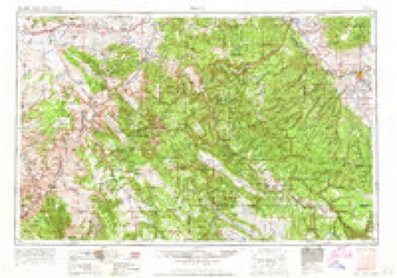
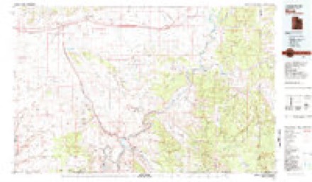
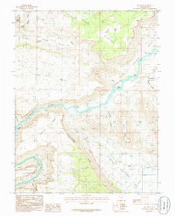
11 surveys from 25 printed sheetsMatched by testing this settlement's coordinate against the published boundary of every sheet in the United States Geological Survey's historical collection. Each opens the scanned sheet at the Survey.
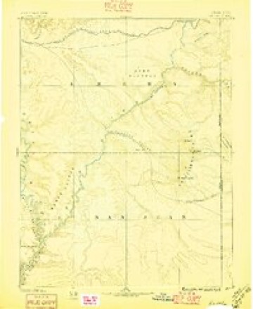
- 1885 USGS La Sal quadrangle1:250000, 6 printings
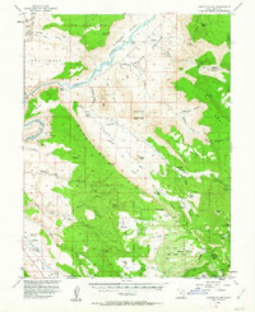
- 1954 USGS Castle Valley quadrangle1:62500, 3 printings
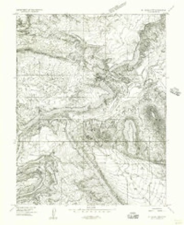
- 1954 USGS Mt. Waas 3 NW quadrangle1:24000
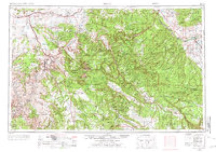
- 1956 USGS Moab quadrangle1:250000, 3 printings
- 1959 USGS Moab quadrangle1:250000
- 1960 USGS Moab quadrangle1:250000, 3 printings
- 1962 USGS Moab quadrangle1:250000
- 1964 USGS Moab quadrangle1:250000
- 1965 USGS Moab quadrangle1:250000
- 1983 USGS Moab quadrangle1:100000, 3 printings
- 1985 USGS Big Bend quadrangle1:24000, 2 printings
Fires near this place
88 since 1992Regional context, not property-specific evidence. The federal wildfire occurrence database lists 88 fires within 5 miles of Castle Valley between 1992 and 2020, burning about 383 acres in total. 39 started naturally. 2 were recorded as arson. Distance is straight-line from the map coordinates, so a fire counted here may appear on a neighbouring settlement's page as well.
| Reported cause | Fires |
|---|---|
| Natural | 39 |
| Missing data/not specified/undetermined | 26 |
| Recreation and ceremony | 6 |
| Debris and open burning | 5 |
| Fireworks | 3 |
| Equipment and vehicle use | 3 |
| Arson/incendiarism | 2 |
| Power generation/transmission/distribution | 2 |
| Other causes | 1 |
| Smoking | 1 |
The most recent of them, most recent first, with the day each was reported and the service that recorded it.
| Date | Cause | Size | Reported by | Name on the report |
|---|---|---|---|---|
| 5 September 1993 | Missing data/not specified/undetermined | under an acre | Utah Division Forestry Fire State Lands | ROUND MOUNTAIN |
| 30 September 2009 | Natural | under an acre | Moab Field Office | TAYLOR LANE |
| 3 September 2019 | Missing data/not specified/undetermined | under an acre | Moab Field Office | MILLER LANE |
| 24 September 2012 | Natural | under an acre | Utah Division Forestry Fire State Lands | ADOBE MESA |
| 22 September 2017 | Missing data/not specified/undetermined | 1.5 acres | Moab Field Office | RIVER ROAD |
| 16 September 2007 | Missing data/not specified/undetermined | 15 acres | Moab Field Office | BAILEY |
| 12 September 1993 | Missing data/not specified/undetermined | under an acre | Utah Division Forestry Fire State Lands | PORCUPINE #2 |
| 1 September 2013 | Natural | under an acre | Moab Field Office | ROUND MOUNTAIN VIEW |
Mines and quarries near this place
9 within 5 milesRegional context, not property-specific evidence. The federal mineral resources record lists 9 workings within 5 miles of Castle Valley: 5 producers, 4 occurrences. 5 still produce. What was taken out: Sand and Gravel, Construction, Uranium, Copper, Uranium, Gold. Distance is straight-line from the map coordinates, so a quarry counted here may appear on a neighbouring settlement's page as well.
| Where | Site | Commodity | Status | Recorded |
|---|---|---|---|---|
| Professor Valley | Gold | Occurrence | Placer | |
| Red Head Deposits | Copper, Uranium | Occurrence | 1905 | |
| Red Head #1 | Uranium | Producer | ||
| Red Head #2 | Uranium | Producer | ||
| Red Head #4 | Uranium | Producer | ||
| Utah Dept Highways Pit No. 10029 | Sand and Gravel, Construction | Occurrence | ||
| Utah Dept Highways Pit No. 10030 | Sand and Gravel, Construction | Producer | Surface | |
| Utah Dept of Highways Pit #10029 | Sand and Gravel, Construction | Occurrence | ||
| Utah Dept of Highways Pit #10030 | Sand and Gravel, Construction | Producer |
Storms near this place
29 since 2005Regional context, not property-specific evidence. The National Weather Service names Castle Valley in 29 storm reports between 2005 and 2025: 21 flash flood, 4 debris flow, 2 heavy rain, 2 hail. No death or injury is recorded in these reports. Each account below is quoted exactly as the forecast office filed it, from the NOAA Storm Events Database, and each date opens the federal record of that event.
| When | Event | Place named | Harm | What the report says |
|---|---|---|---|---|
| September 2025 | Flash Flood | Castle Valley | $30,000 | National Park Service employees at Arches National Park reported Cache Valley Road had washed out near the lower Delicate Arch viewpoint. |
| August 2021 | Debris Flow | Castle Valley | $5,000 | A debris flow occurred in the Salt Wash that crosses Delicate Arch Road in Arches National Park. 3 to 6 inches of mud was deposited across the road and a few medium to large size boulders were moved. |
| August 2016 | Flash Flood | Castle Valley | $2,000 | Heavy rainfall on the La Sal Mountains drained into the previously dry Placer Creek which resulted in flash flooding that produced road damage. A section of East Castle Valley Drive within the community of Castle Valley was cut two feet deep and became impassable until repairs were made. The flash flood waters were generally 1 to 2 feet deep. Radar estimated rainfall over the La Sal Mountains ranged from 1.0 to 1.5 inches in less than two hours. Incidentally, about an hour before the flash flood struck the town of Castle Valley, the town received 0.20 of an inch of rain within 20 minutes. |
| September 2025 | Hail | Castle Valley | - | At 806 MST on September 12, an NWS employee reported 1 inch diameter hail 25 miles NNW of Castle Valley, Utah. Some hail stones a little bigger than one inch fell. |
| August 2024 | Hail | Castle Valley | - | A strong storm passed over Castle Valley area and produced hail dime to penny size. |
| August 2023 | Flash Flood | Castle Valley | - | A 38-year-old woman was swept away in a flash flood at Grand Countys Mary Jane Canyon as a result of heavy rains occurring upstream of the canyon. 30 minute rates looked to exceed 0.40 to 0.60 inches which then flowed downstream, flooding the slot canyon. The subject reported that she had been caught in the flood and carried 150-200 feet down the canyon. She stated that she heard the flood coming and tried to get to higher ground. She reached a sand bank above the creek with her dog, but the rising water eroded the sand, sending both her and the dog into the flood waters. The woman and her dog were rescued by emergency services later with no injuries reported. |
| July 2021 | Debris Flow | Castle Valley | - | An abundance of rocks, mud, branches and other debris overran a normally dry creek bed as a result of heavy rain over the Pack Creek Fire burn scar. |
| July 2018 | Debris Flow | Castle Valley | - | As a result of heavy rains from thunderstorms, Delicate Arch Road was closed due to mud from Wolf Ranch to the Delicate Arch Viewpoint. The heavy rain fell for about an hour, though the road remained impassable the next morning. Radar estimates half an inch to an inch of rain fell with storms. |
| October 2018 | Flash Flood | Castle Valley | - | A flash flood due to heavy rainfall came down through Arches National Park and across the Delicate Arch Road. The flowing water that was up to four feet deep closed the road for over an hour. |
| September 2017 | Flash Flood | Castle Valley | - | After a bout of heavy rain, the normally dry Salt Wash near the Delicate Arch parking lot in Arches National Park ran at least two feet deep and stranded several people. |
| October 2015 | Flash Flood | Castle Valley | - | Heavy rainfall in a basin north of Arches National Park on the evening of October 18th resulted in a flash flood which reached a section of Arches National Park on the morning of the 19th in the Delicate Arch Road area. |
| March 2015 | Heavy Rain | Castle Valley | - | Wolf Ranch and Delicate Arch roads in Arches National Park were closed due to at least several inches of water running over the roadways from the local washes due to a prolonged rain event. |
| August 2015 | Flash Flood | Castle Valley | - | Heavy rainfall in a catch basin north of Arches National Park on the afternoon of August 30th resulted in a flash flood which reached a section of Arches National Park later that evening and trapped many campers in the Delicate Arch Road area. Flash flood waters were still flowing 3.5 feet deep and 50 feet wide as of noon the next day, August 31st and persisted through much of the afternoon. |
| April 2015 | Heavy Rain | Castle Valley | - | The roadway to Delicate Arch was closed due to persistent water flow from the Salt Wash running across the roadway at least several inches deep. The roadway was closed for approximately 24 hours. |
| June 2015 | Flash Flood | Castle Valley | - | The road to the Delicate Arch viewpoint in Arches National Park was closed as it was inundated from fast moving water from the Salt Wash due to heavy rainfall. |
| August 2014 | Flash Flood | Castle Valley | - | Flash flooding and a mudslide up to a foot deep occurred along Highway 128 near mile marker 8. |
| August 2014 | Debris Flow | Castle Valley | - | UDOT reported a flash flood and debris flow up to a foot deep across highway 128 near mile marker 18 where Professor Creek intersects the roadway. The road was closed approximately 2 hours due to flash flooding and the post-flood debris removal. |
| August 2014 | Flash Flood | Castle Valley | - | The road to Delicate Arch road was closed late it 1030 pm MDT August 13th through much of the day on the 14th as Salt Valley wash and Winter Camp wash flowed over the road and the nearby parking lot. Local trails were also closed for an extended period of time. |
| August 2013 | Flash Flood | Castle Valley | - | A dirt road in the northwest portion of Arches National Park was closed due to mud and water approximately 1 foot deep which flowed over the roadway. |
| August 2013 | Flash Flood | Castle Valley | - | The road to Delicate Arch was closed due to fast flowing water 20 inches deep across the road which is adjacent Salt Wash. Numerous tourists were stranded between the Delicate Arch trail head and the parking lot which is bisected by Salt Wash. The water receded to sufficiently shortly before midnight to allow the road to be opened. |
| August 2013 | Flash Flood | Castle Valley | - | Runoff down the Winter Camp Wash from late day thunderstorms north of Arches National Park on August 24th reached a road near Delicate Arch in Arches National Park during the early morning hours of the 25th. Water over a foot deep flowed across a section of the road. After the flash flood waters receded, the road to the Delicate Arch viewpoint trail head remained closed for several hours during debris removal activities. |
| September 2013 | Flash Flood | Castle Valley | - | Salt Valley and Winter Camp experienced flash floods which closed roads in Arches National Park as water at least six inches deep flowed over those roads. |
| September 2013 | Flash Flood | Castle Valley | - | Winter Camp, Salt Wash, and Salt Valley washes all flash flooded with water running across the road to Delicate Arch. The road was closed as water continued to run across it for several hours. |
| May 2013 | Flash Flood | Castle Valley | - | Winter Camp wash was flooded during the overnight hours causing the a road in Arches National Park to be closed for a number of hours due to a foot or more of water and debris flowing over the roadway. |
| October 2012 | Flash Flood | Castle Valley | - | Flash flooding along the Salt Wash inundated the road to Wolf Ranch and closed it for several hours. Many vehicles and tourists were trapped in the Delicate Arch parking area. |
| August 2011 | Flash Flood | Castle Valley | - | Flash flooding was reported in many sections of Arches National Park with flowing water up to 2 feet deep. Some roads were closed during the flash flood. |
| July 2011 | Flash Flood | Castle Valley | - | Flash flood waters in Arches National Park were over a foot and a half deep across the Delicate Arch road which was closed for several hours until the water receded. |
| August 2010 | Flash Flood | Castle Valley | - | Heavy rainfall from an area of intense thunderstorms produced flash flood waters that crossed Highway 128 at a number of locations between mile markers 8 and 14. Debris consisting mostly of mud up to two feet deep was deposited on the Highway. |
| August 2005 | Flash Flood | Castle Valley | - | no account filed |
Nearest settlements
The eight closest, with where each one stands in the county. Distances are straight-line, computed from the Geographic Names Information System coordinates.
Elsewhere
Matched on this settlement's Geographic Names Information System number rather than its name, so it cannot be a different place of the same name in another state.
| Wikipedia article on Castle Valley | An encyclopaedic summary. Its text is share-alike, so it is linked here rather than copied. |
| Wikidata item Q482882 | The structured record the population and elevation above come from. Public domain (CC0). |
Provenance
This settlement is recorded in the Geographic Names Information System as feature 1450284. The sheet list is computed by point-in-boundary test against the United States Geological Survey's historical topographic inventory. Both are works of the United States government and carry no copyright under 17 U.S.C. 105.
Wildfire. Short, Karen C. 2022. Spatial wildfire occurrence data for the United States, 1992-2020 [FPA_FOD_20221014]. 6th Edition. Fort Collins, CO: Forest Service Research Data Archive. https://doi.org/10.2737/RDS-2013-0009.6 Collected with United States Government funding and usable without additional permissions or fees.
Mines and quarries. USGS Mineral Resources Data System (MRDS) https://mrdata.usgs.gov/mrds/ A work of the United States government, no copyright under 17 U.S.C. 105.
Storms. NOAA National Centers for Environmental Information, Storm Events Database https://www.ncei.noaa.gov/stormevents/ A work of the United States government, no copyright under 17 U.S.C. 105. Narratives are quoted verbatim from the National Weather Service report and are not edited or summarised.