 Block
From the record
20 National Register listings published here.
Sources: the National Register database, National Park Service
102 topographic sheets and 2 fire insurance atlases across 1 place.
20 National Register listings published here.
Sources: the National Register database, National Park Service
Taken for the Office of War Information and the Farm Security Administration, who photographed the country between 1935 and 1944. Works of United States government photographers, with no known restriction on use. Each opens its catalogue record.
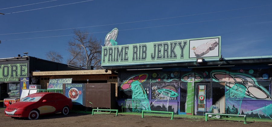
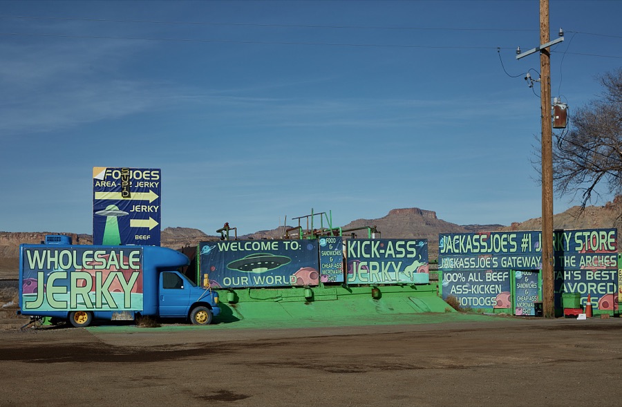
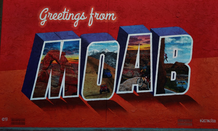
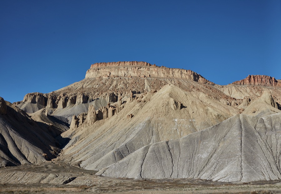
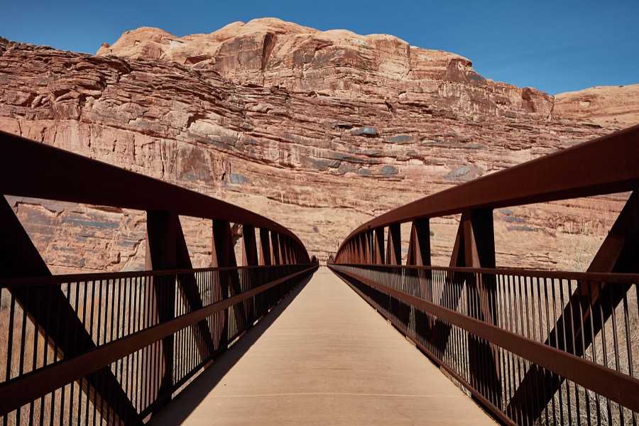
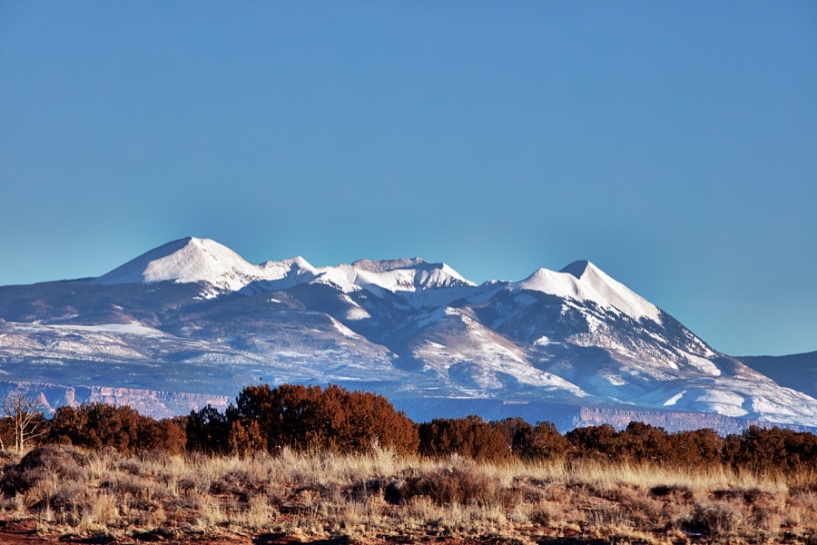
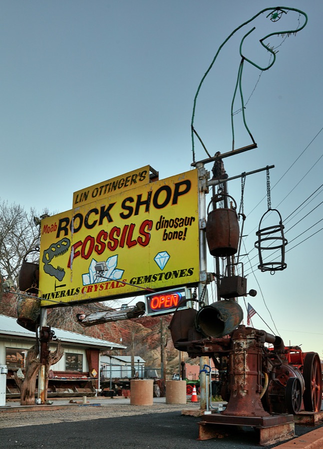
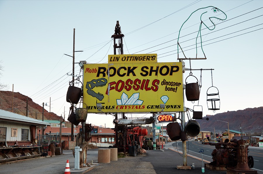
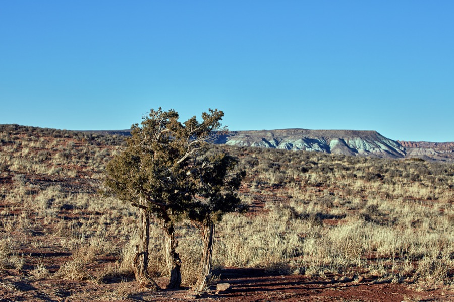
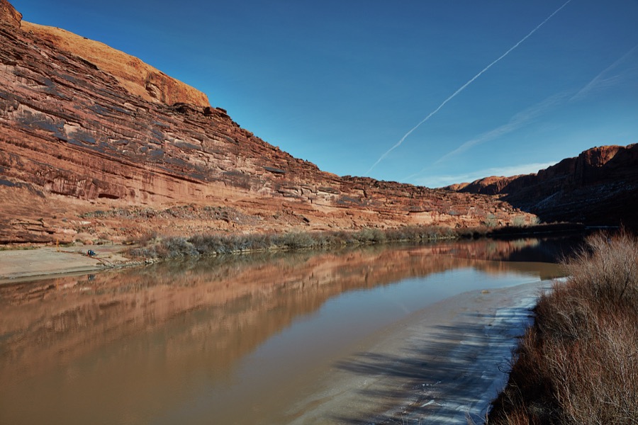
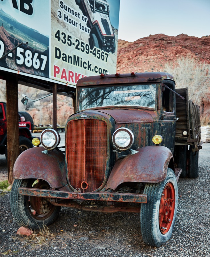
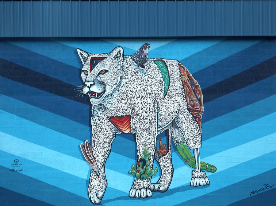
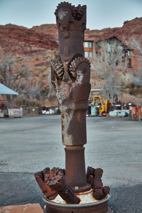
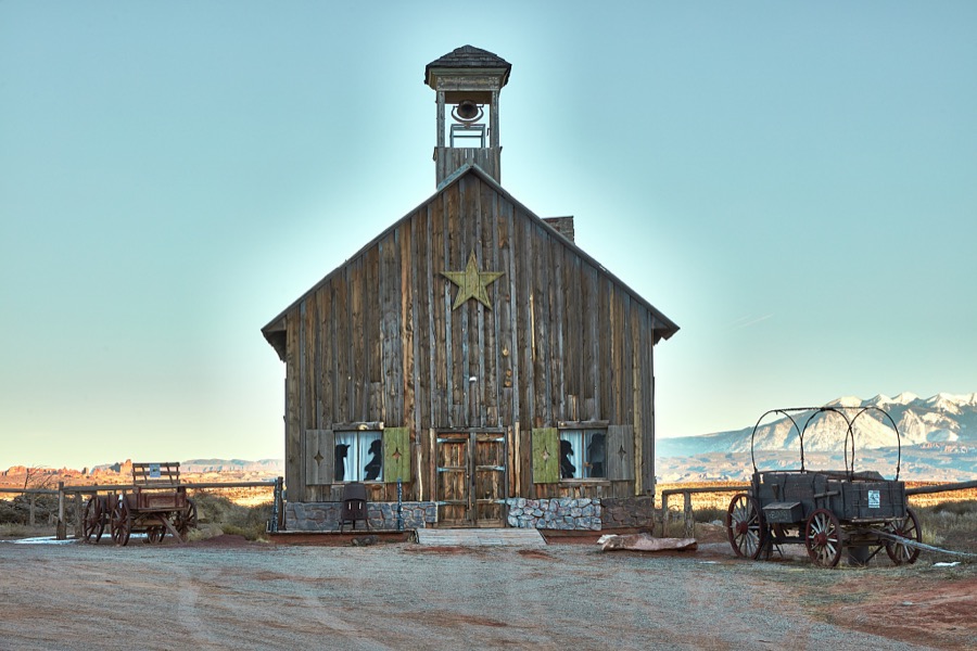
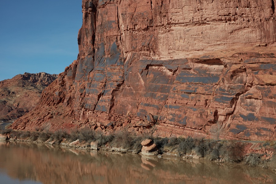
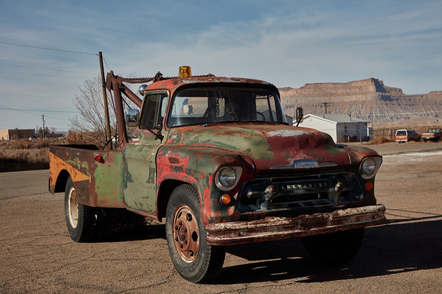
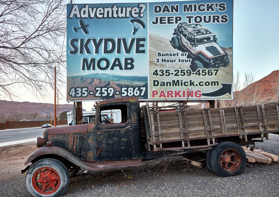
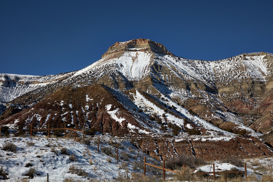
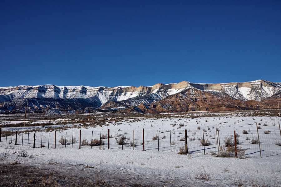
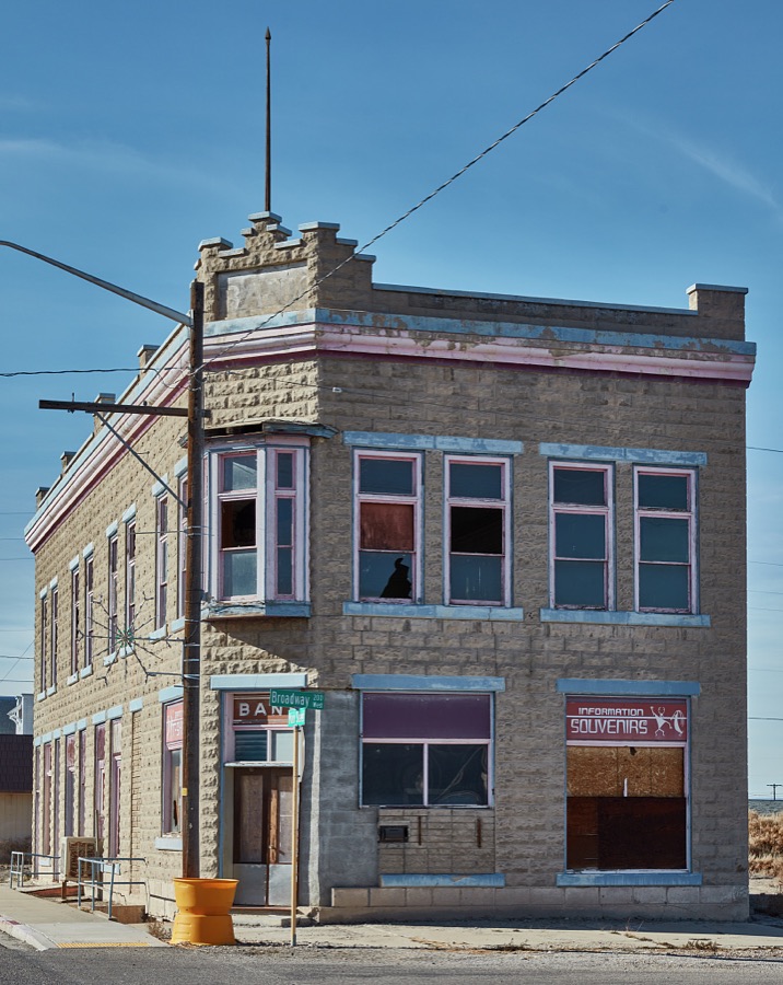
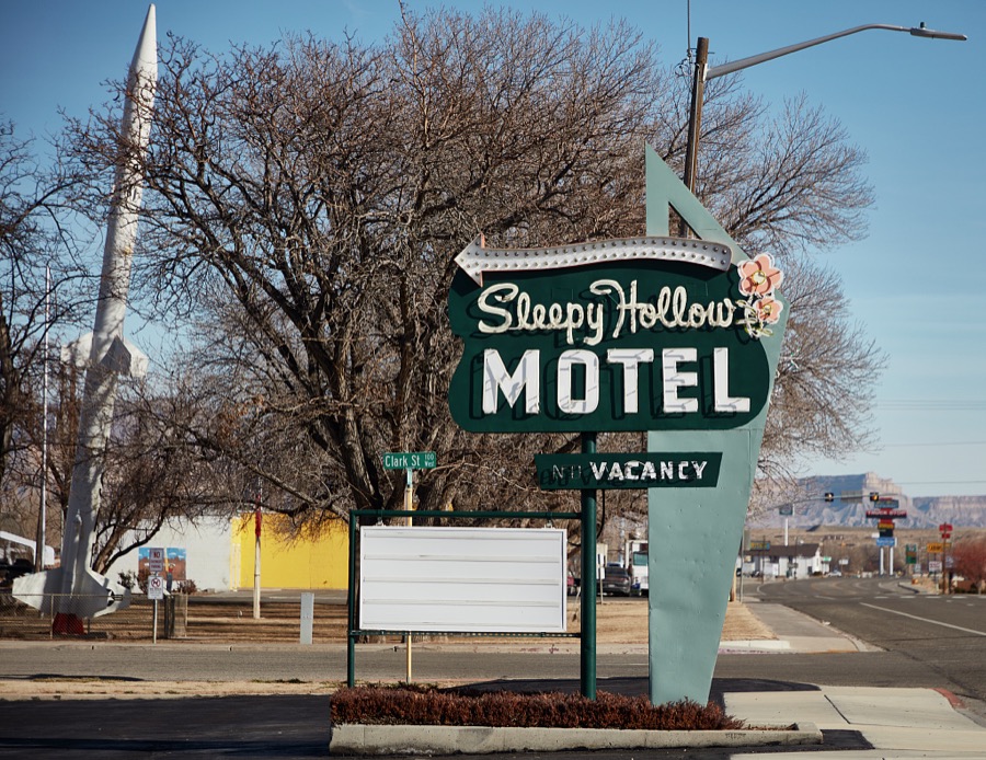
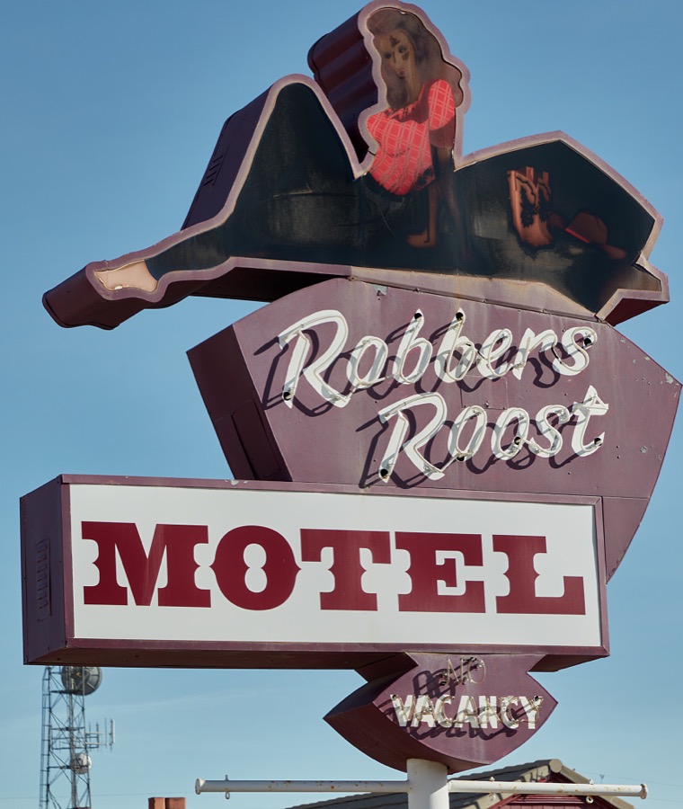
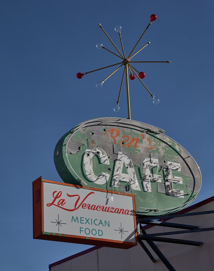
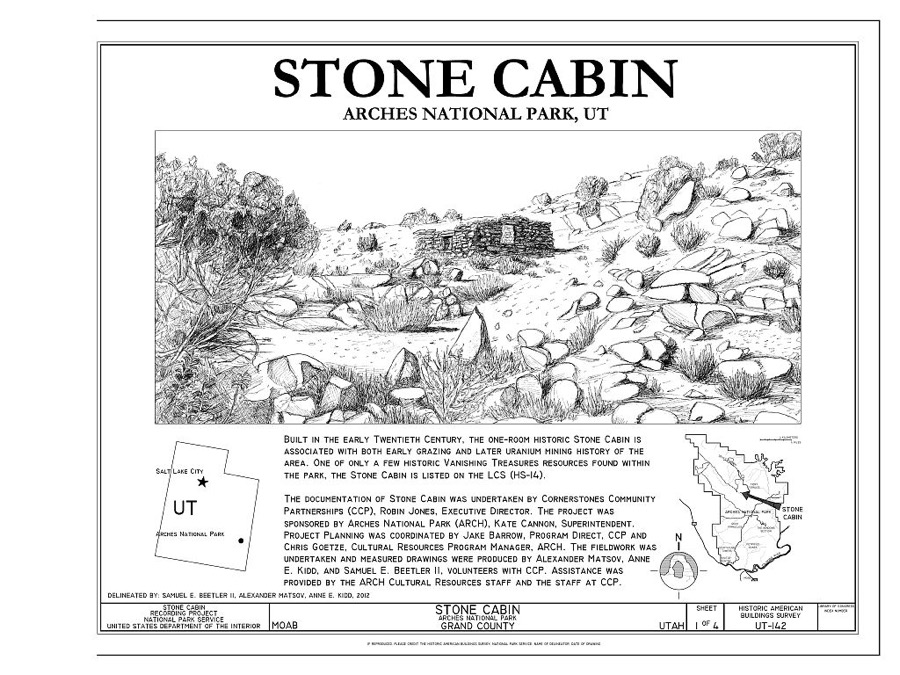
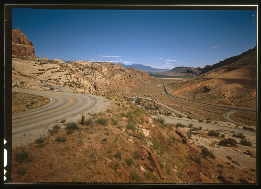
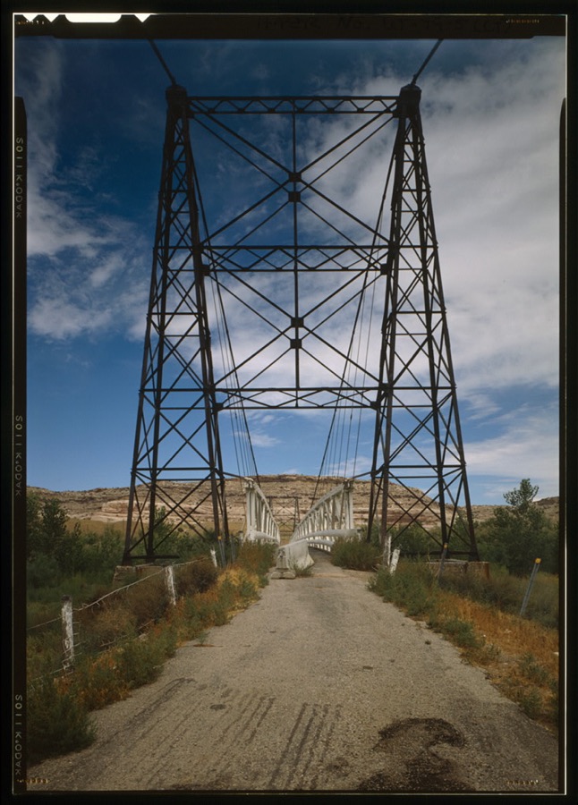
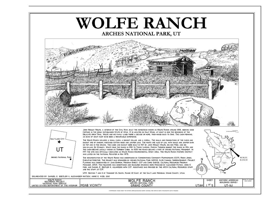
Every property in this county listed on the National Register of Historic Places, with the year it was listed and the federal nomination document.
| Photograph | Property | Type | Listed | Reference |
|---|---|---|---|---|
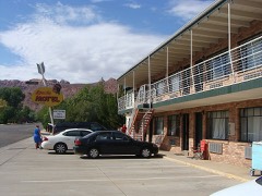 | Apache Motel | building | 2008 | 08000062 |
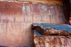 | Courthouse Wash Pictographs | site | 1976 | 76000207 |
 | Dalton Wells CCC Camp-Moab Relocation Center | site | 1994 | 94000366 |
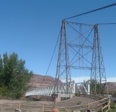 | Dewey Bridge | structure | 1984 | 84002179 |
| Elk Mountain Mission Fort Site | site | 1978 | 78002661 | |
| Johnson Ranch House | building | 2018 | 100002636 | |
| Julien Incription Panel | site | 1988 | 88001184 | |
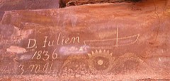 | Denis Julien Inscription | site | 1991 | 91000617 |
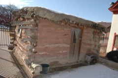 | Moab Cabin | building | 1980 | 80003906 |
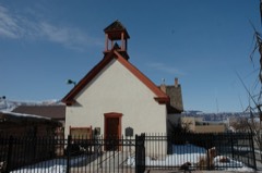 | Moab LDS Church | building | 1980 | 80003907 |
| Old Spanish Trail | structure | 1988 | 88001181 | |
| Pinhook Battleground | site | 1982 | 82004125 | |
| Ringhoffer Inscription | site | 1988 | 88001185 | |
| Robidoux Inscription | site | 1982 | 82004124 | |
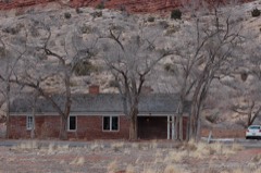 | Rock House-Custodian's Residence | building | 1988 | 88001186 |
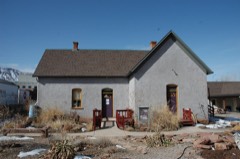 | John Henry Shafer House | building | 2001 | 01000472 |
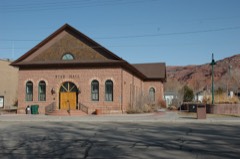 | Star Hall | building | 1993 | 93000416 |
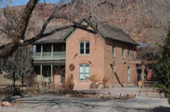 | Arthur Taylor House | building | 1980 | 80003908 |
| Orlando W. Warner House | building | 1977 | 77001304 | |
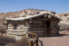 | Wolfe Ranch Historical District | district | 1975 | 75000167 |
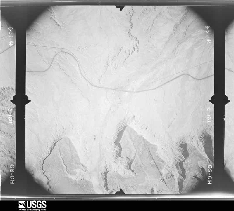
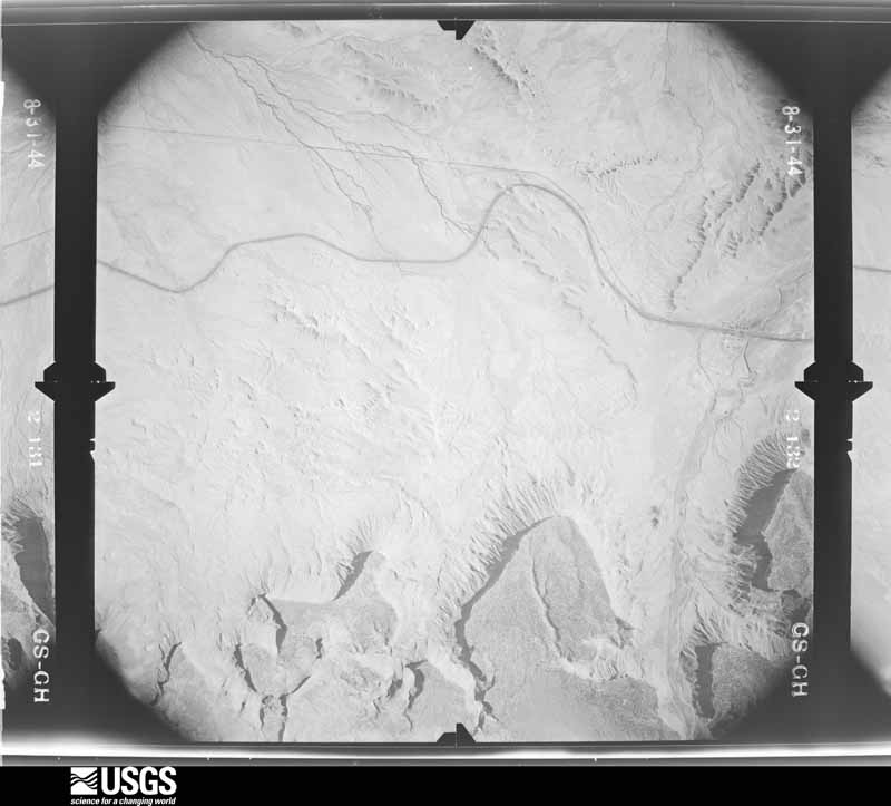
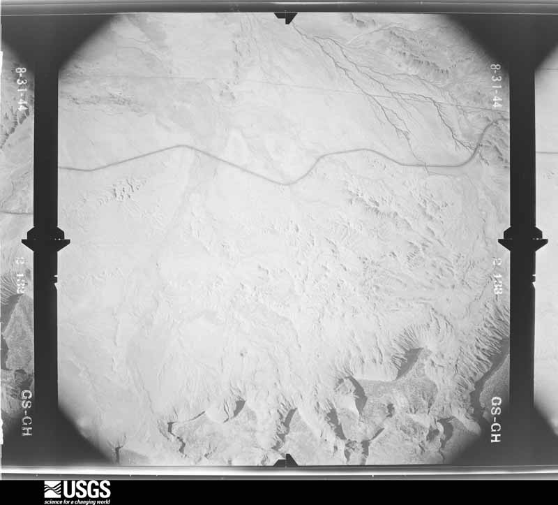
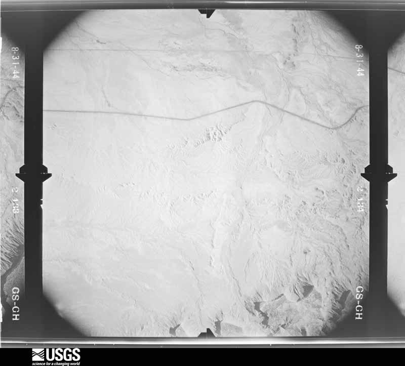
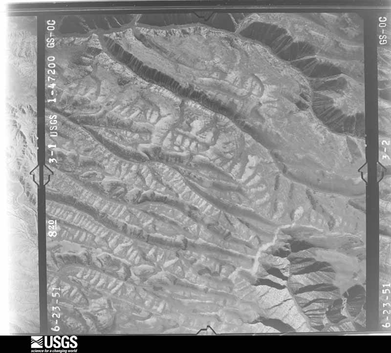
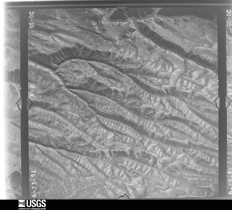
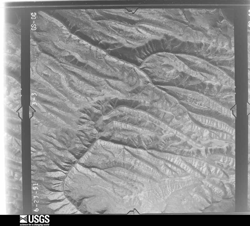
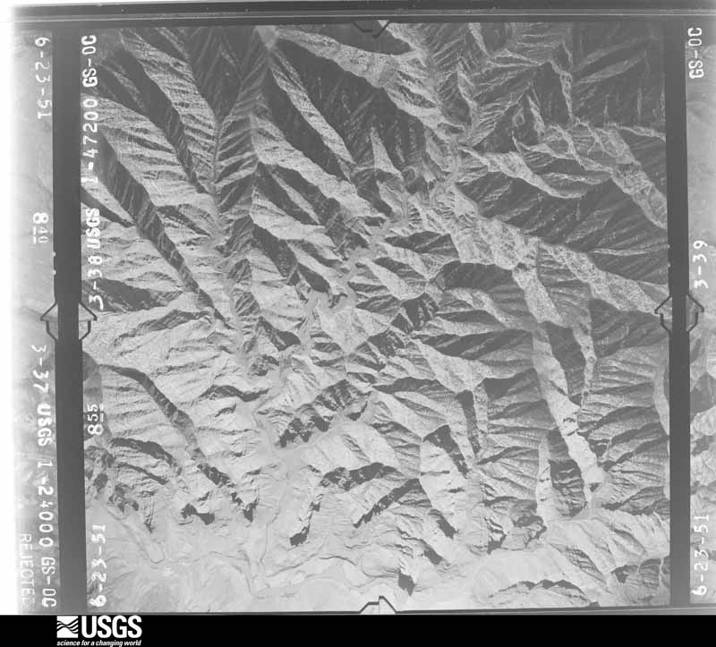
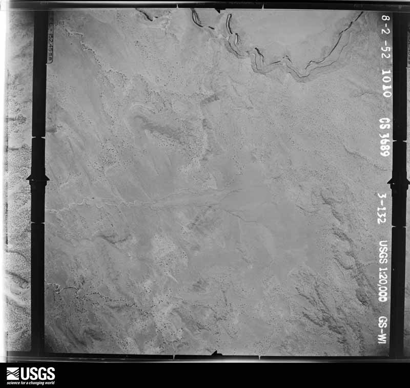
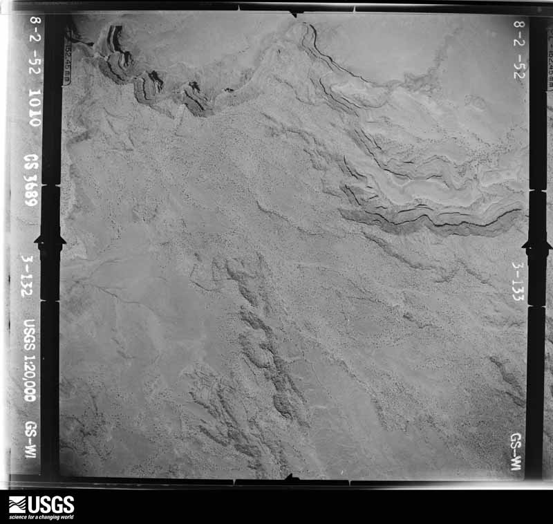
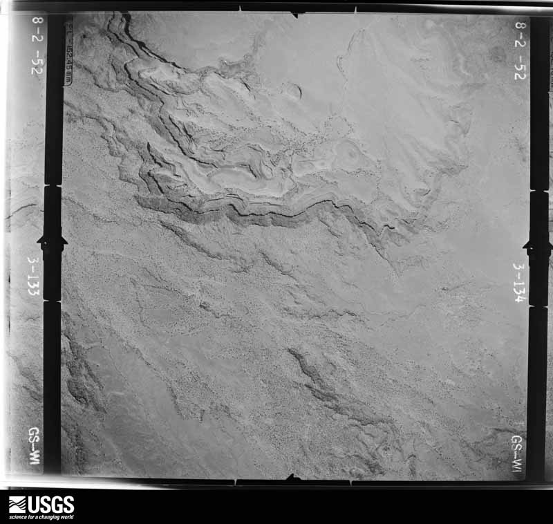
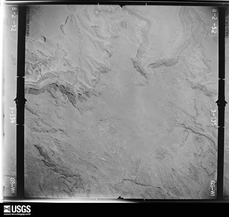
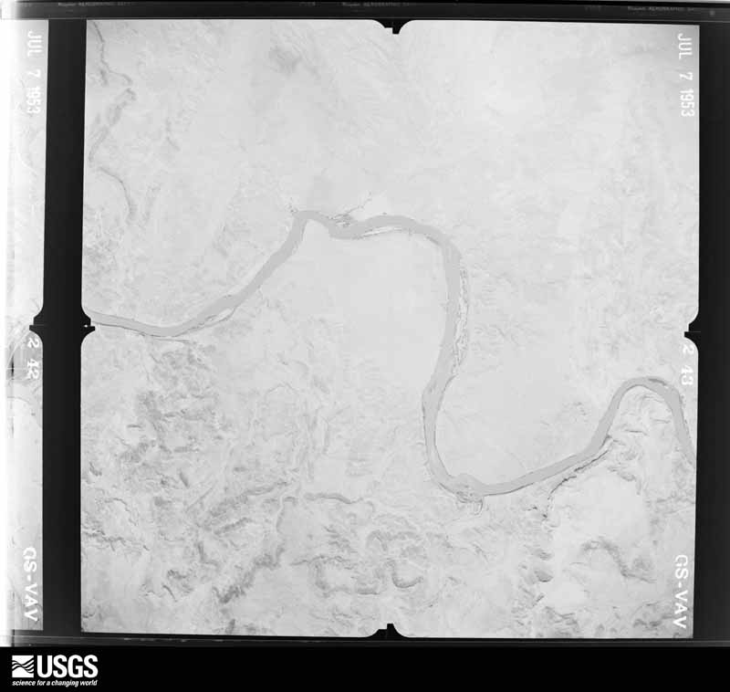
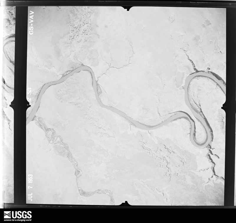
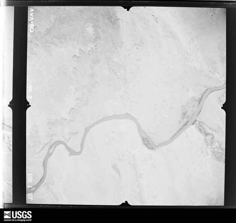
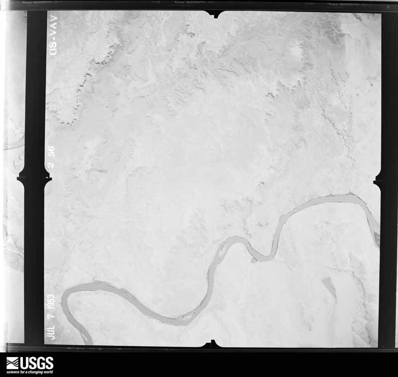
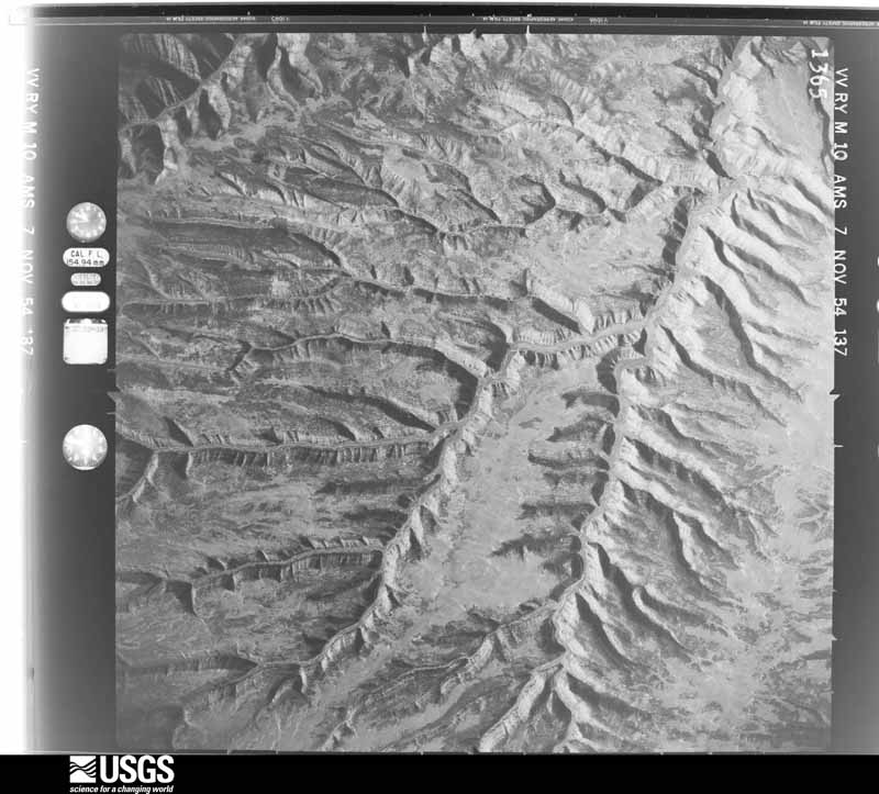
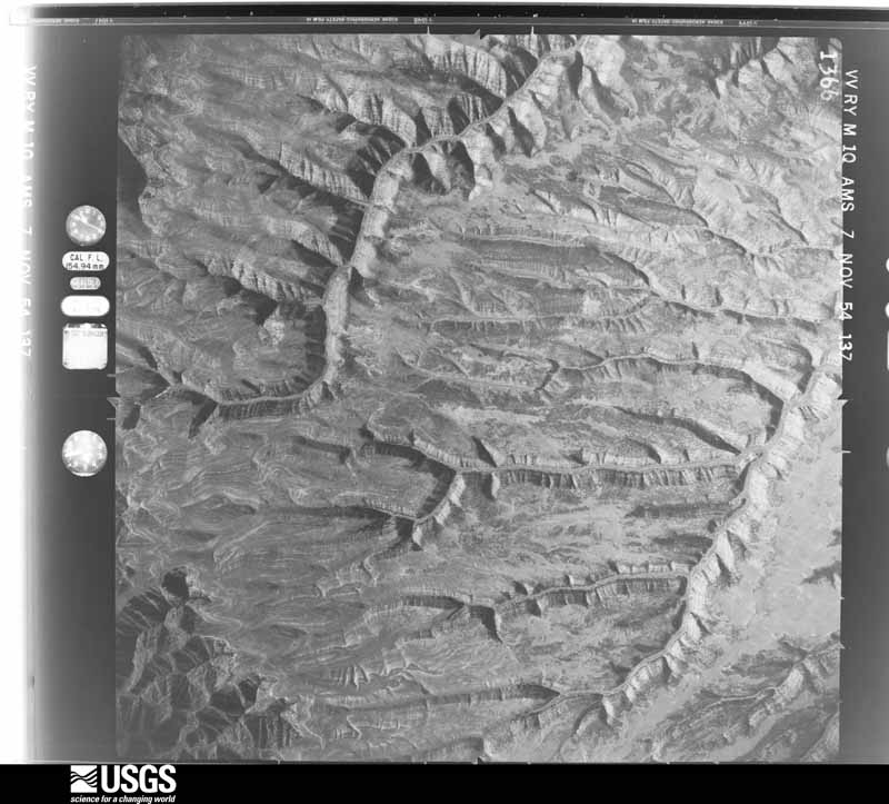
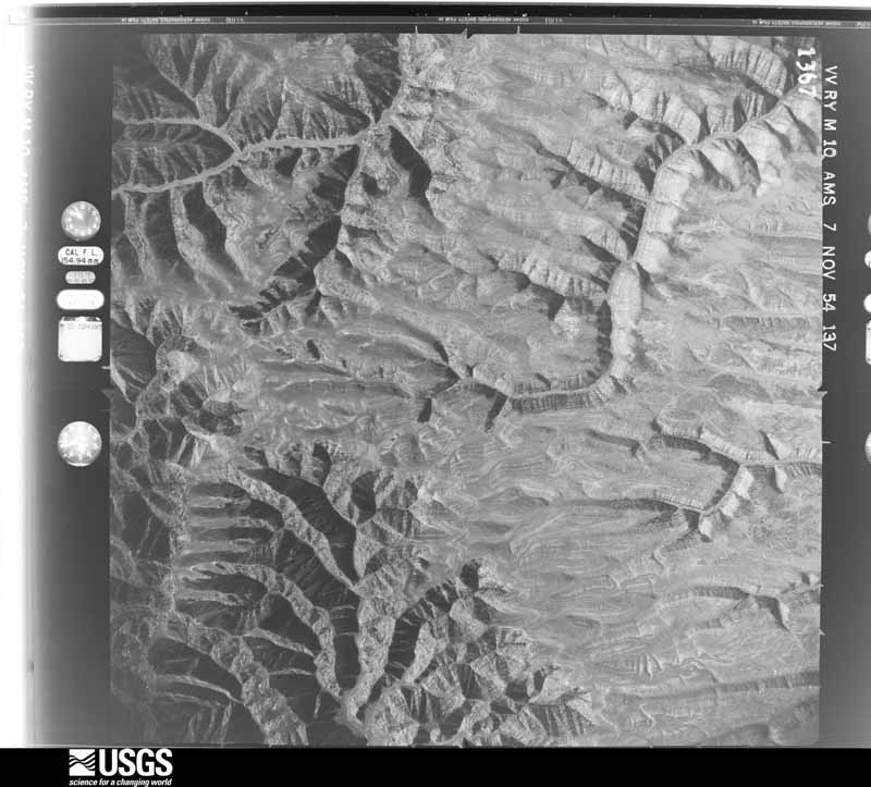
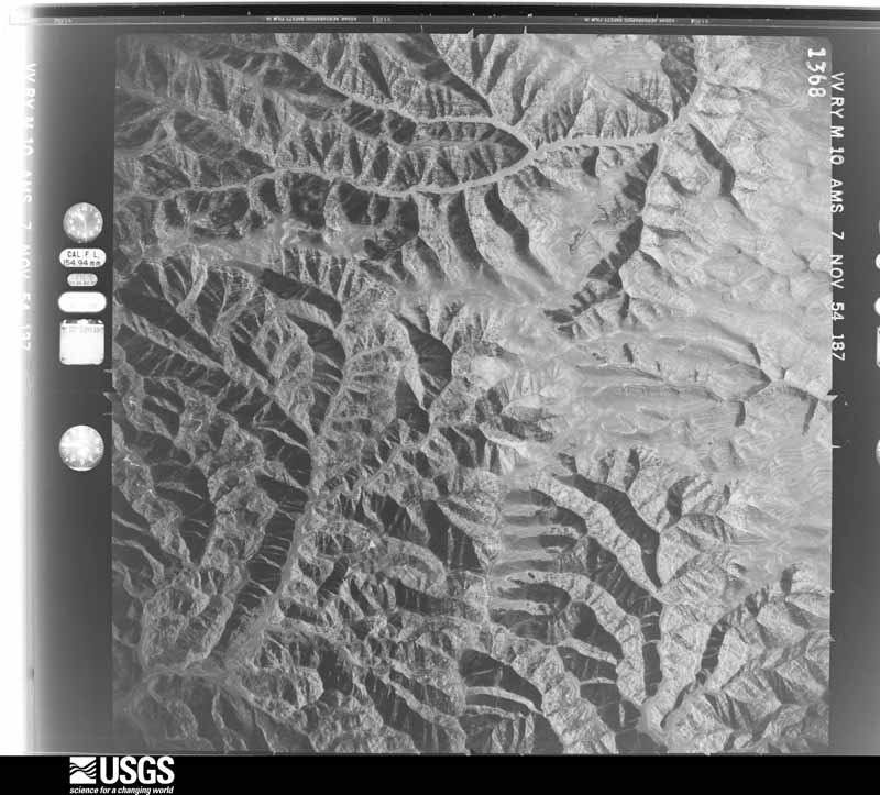
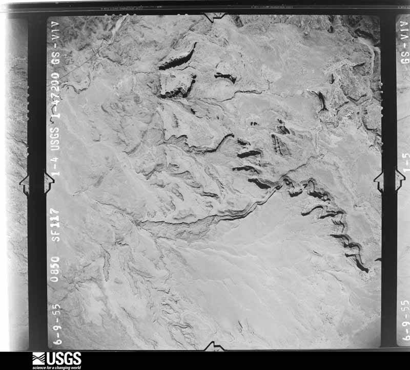
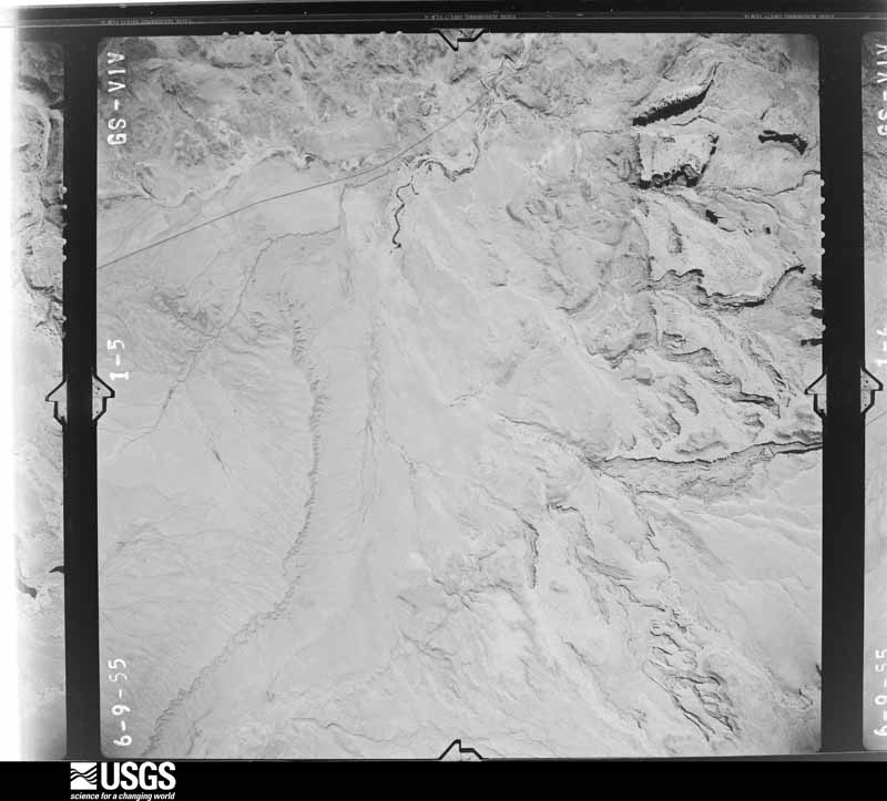
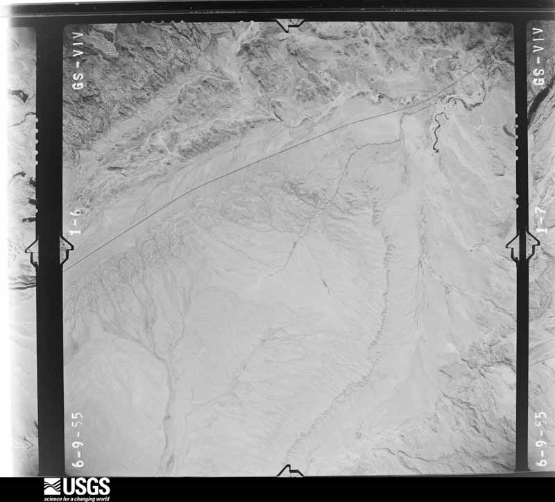
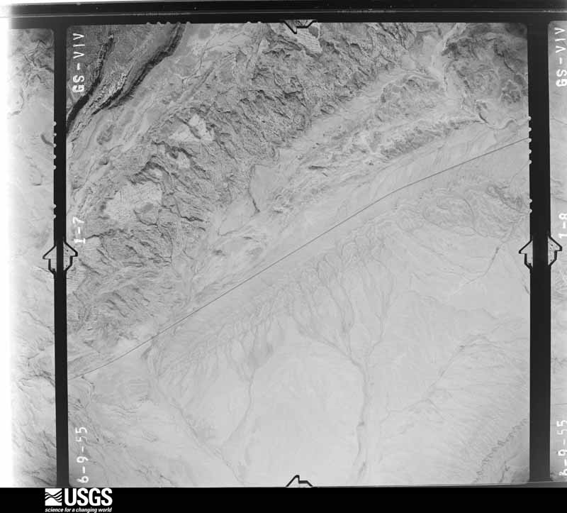
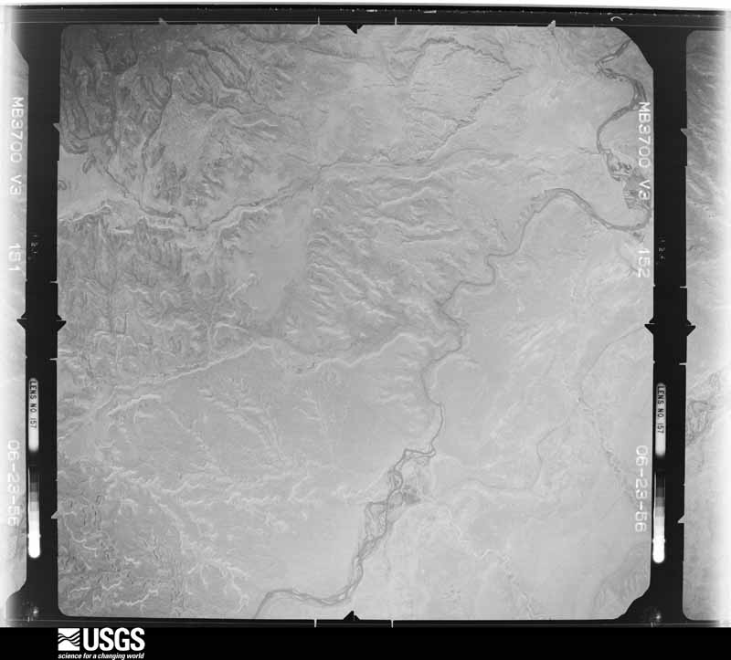
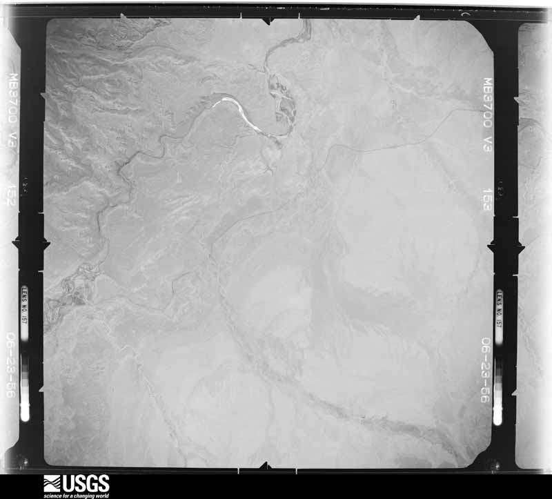
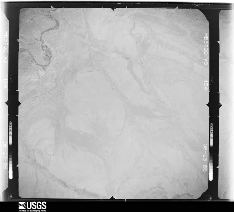
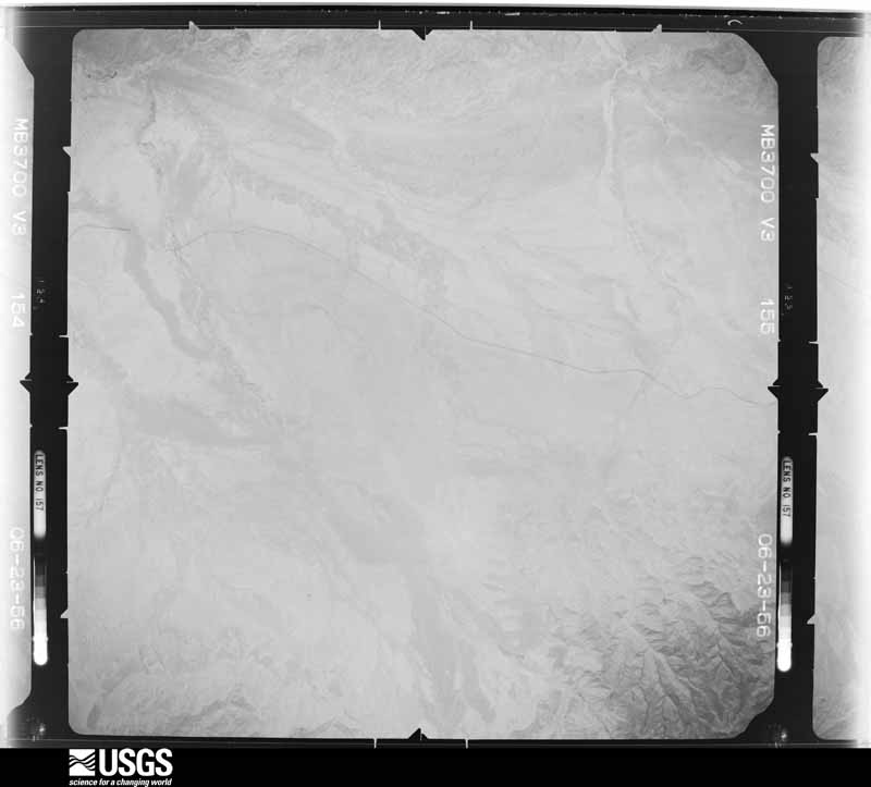
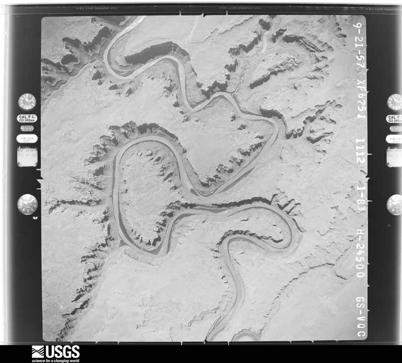
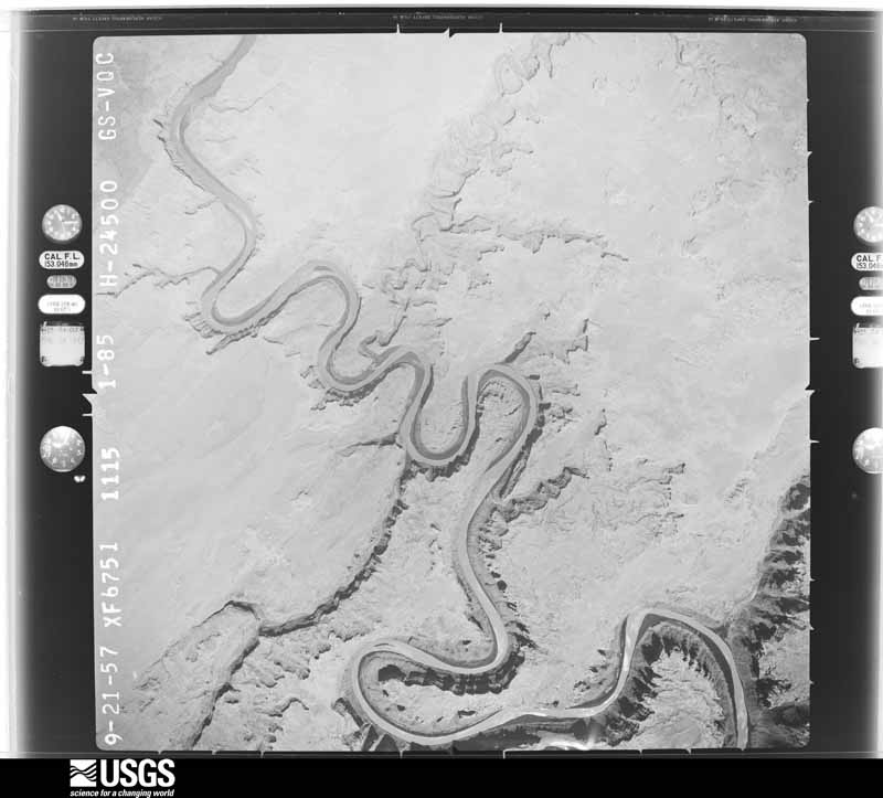
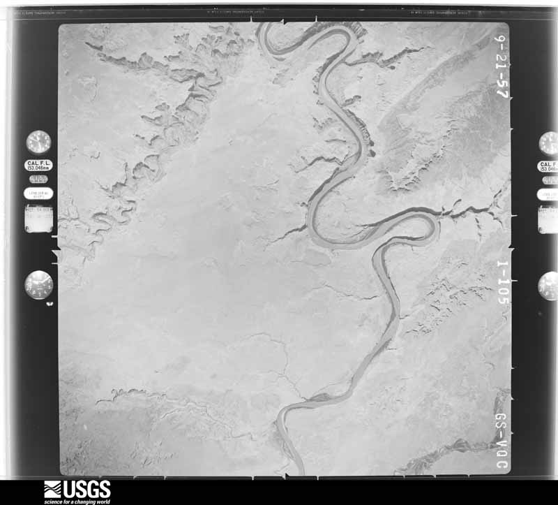
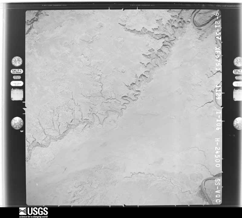
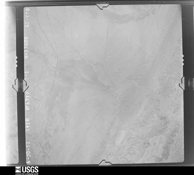
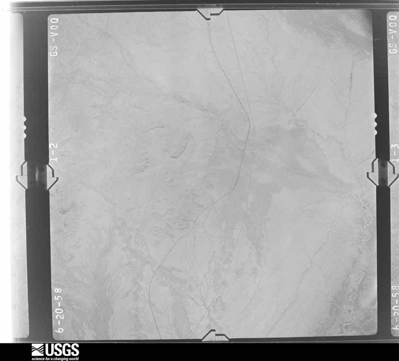
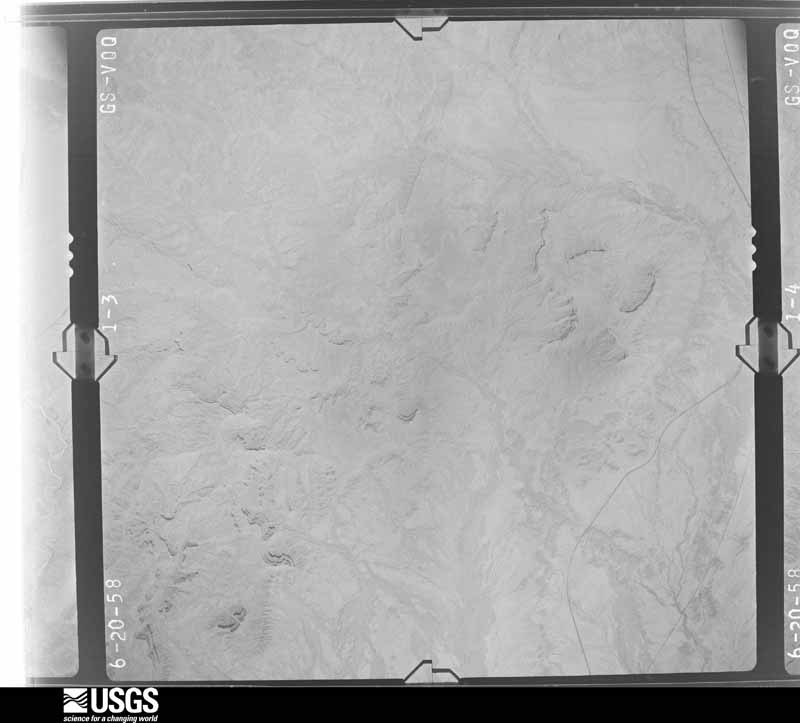
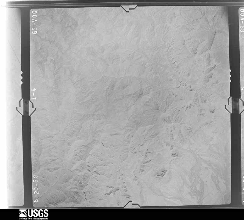
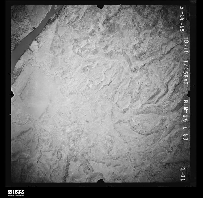
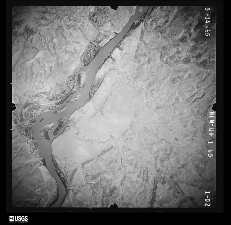
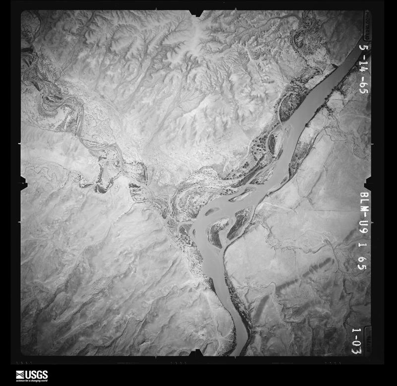
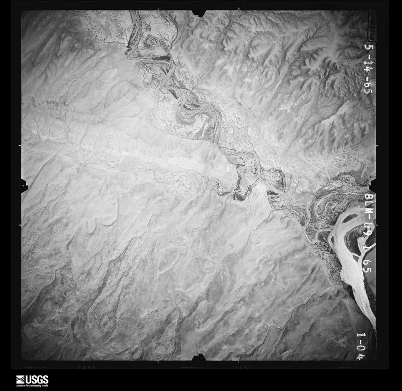
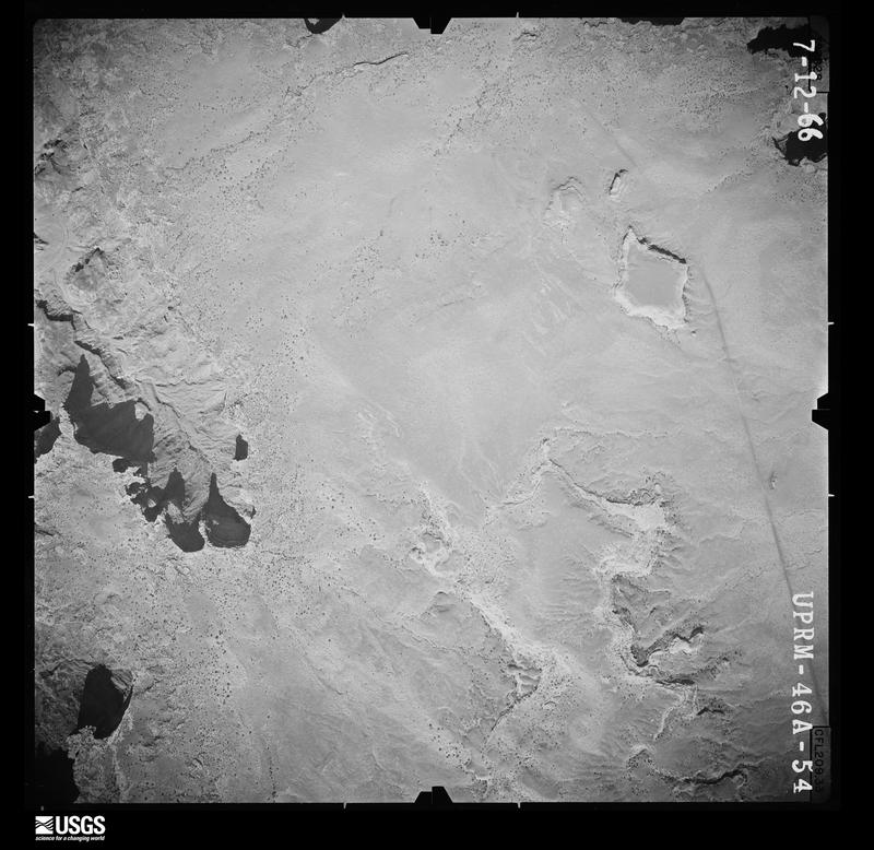
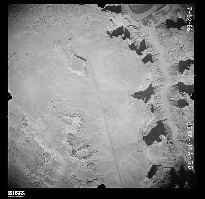
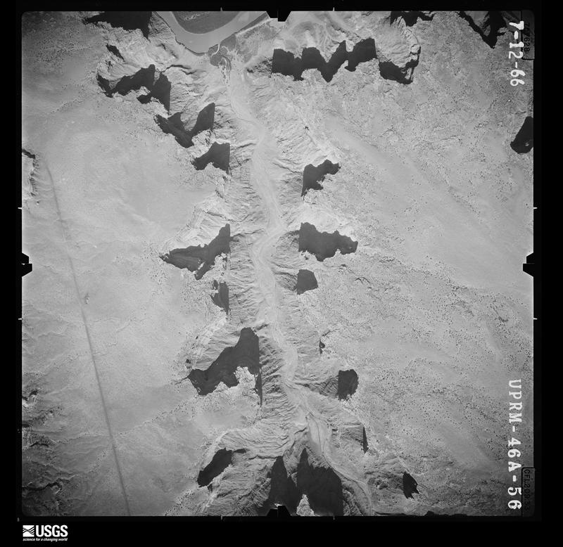
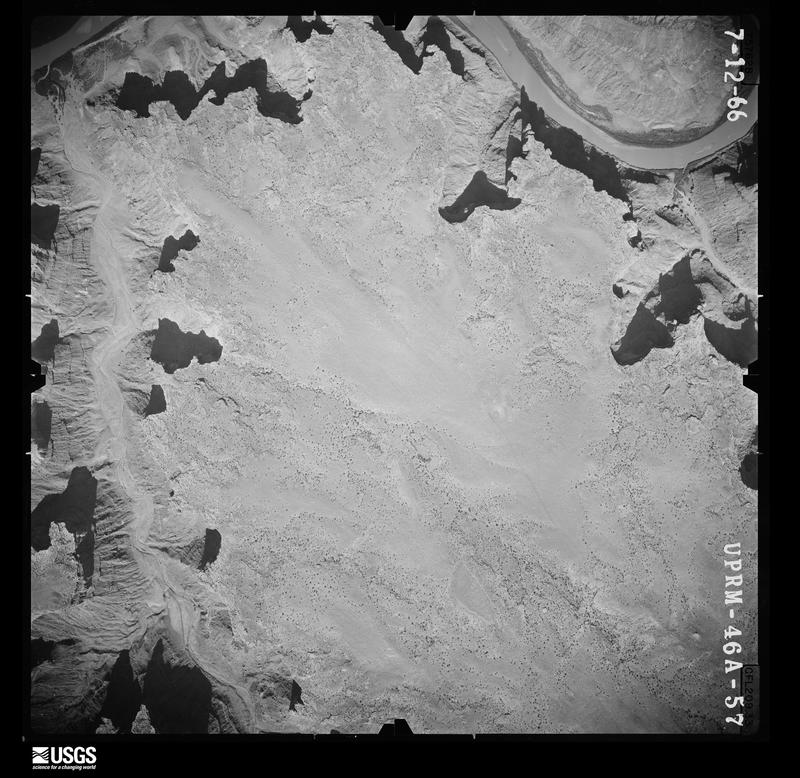
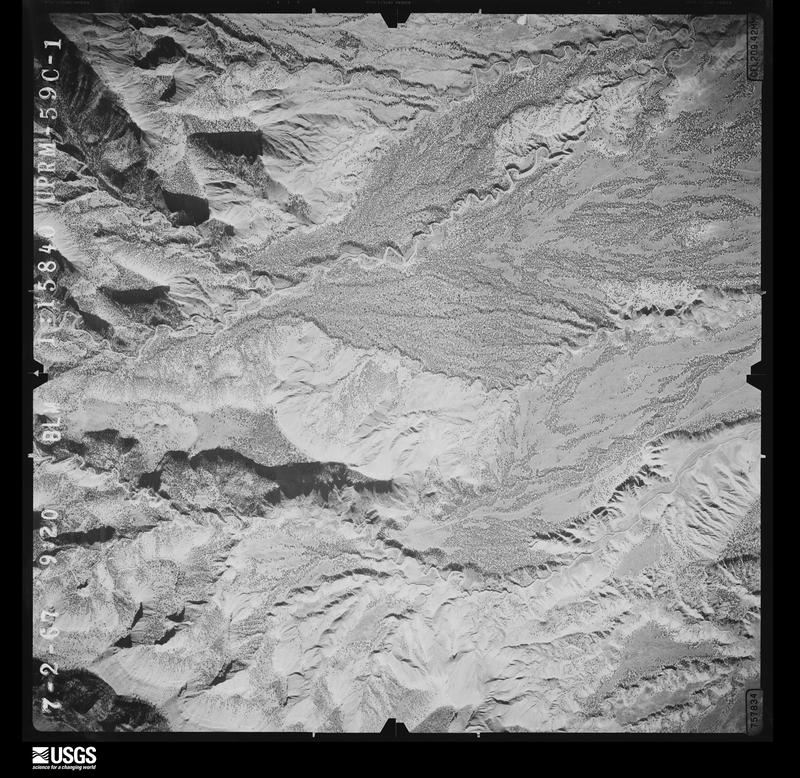
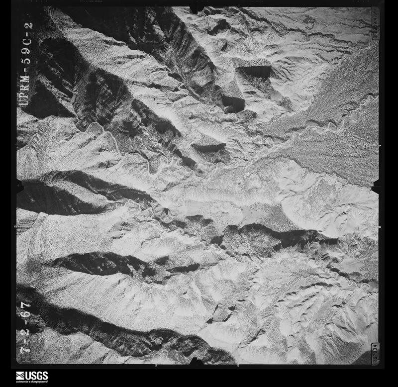
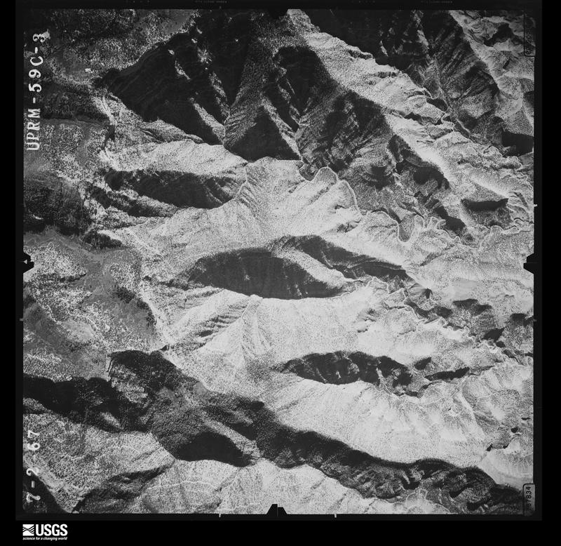
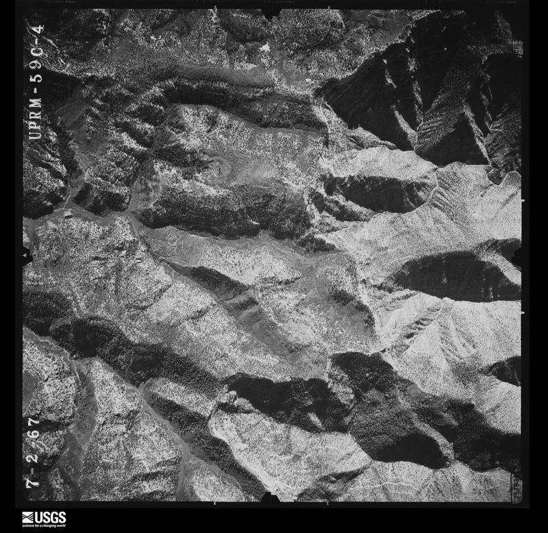
Flown by the U.S. Geological Survey between 1937 and 1989, the Aerial Photo Single Frames collection is the definitive mid-century view of the land: fields, roads and rivers as the camera saw them. The Survey holds 12,653 frames inside the rectangle that bounds this county; the 48 frames below were taken over the county itself, chosen across the decades of flights (at most four a year from that rectangle), so one flight cannot crowd out the rest. The full set is free to browse and download at EarthExplorer under the dataset Aerial Photo Single Frames.
The thermometers that kept this county's weather, and the gages that measured the flow of its streams, as the federal records hold them. The extremes below are measured values from those records, not estimates.
Who lived here in 1950, one enumeration district at a time, as the Census Bureau described each district. Each row opens its official National Archives result, with Population Schedules and ED Maps available there.
Every wildfire the federal occurrence database records inside this county: 1,272 of them, burning about 155,083 acres. 738 started naturally and 27 were recorded as arson. Each settlement page carries the fires within five miles of it.
| Reported cause | Fires |
|---|---|
| Natural | 738 |
| Missing data/not specified/undetermined | 229 |
| Equipment and vehicle use | 107 |
| Recreation and ceremony | 53 |
| Railroad operations and maintenance | 35 |
| Debris and open burning | 29 |
| Arson/incendiarism | 27 |
| Fireworks | 14 |
| Smoking | 13 |
| Power generation/transmission/distribution | 13 |
| Misuse of fire by a minor | 9 |
| Other causes | 5 |
The five largest, by the area the report gives. None of them was recorded as arson.
| Date | Cause | Size | Reported by | Name on the report |
|---|---|---|---|---|
| 22 June 2002 | Natural | 88,421 acres | Moab Field Office | DIAMOND CR |
| 20 July 2018 | Natural | 12,789 acres | Uintah and Ouray Agency | BEAR TRAP |
| 20 June 2002 | Natural | 5,970 acres | Moab Field Office | BLACK CNY |
| 17 July 2002 | Natural | 4,860 acres | Uintah and Ouray Agency | COUNTYLINE |
| 28 June 1994 | Equipment and vehicle use | 3,820 acres | Moab Field Office | BITTCRCOMP |
| 14 June 1995 | Natural | 3,500 acres | Moab Field Office | VC#2 |
| 27 August 2008 | Natural | 3,432 acres | Manti-Lasal National Forest | PORCUPINE RANCH |
| 1 July 1999 | Natural | 3,216 acres | Moab Field Office | LITTLEHOLE |
Every settlement page carries the fires within five miles of it - see the settlement index below.
The NOAA Storm Events Database holds 236 reports for this county, causing 5 deaths, 2 injuries and about $44,012,950 in recorded property damage. Each settlement page carries the reports that name it.
| Kind of event | Reports |
|---|---|
| Flash Flood | 79 |
| Thunderstorm Wind | 56 |
| Hail | 26 |
| Heavy Rain | 19 |
| Wildfire | 15 |
| Flood | 15 |
| Debris Flow | 13 |
| Lightning | 7 |
| Tornado | 4 |
| Funnel Cloud | 2 |
The most serious of them, by death, then injury, then recorded damage. The accounts are quoted exactly as the forecast office filed them.
| When | Event | Place named | Harm | What the report says |
|---|---|---|---|---|
| June 2024 | Flash Flood | Moab | 2 killed | Major flooding in Moab and Castle Valley from strong thunderstorm that produced very heavy rain across town, Mill Creek, North Mill Creek, Kane Creek and a drainage above Castle Valley. 1 inch of rain fell in 15 minutes for a rainrate of 4 inches per hour. 2 reported missing in Moab area with an abandoned vehicle discovered in Mill Creek drainage after flash flooding, 1 was found deceased and other assumed fatality but not found. |
| September 2014 | Flash Flood | Harley Dome | 1 killed, $20,000 | Flash flood waters at least four feet deep flowed down the normally dry Bittercreek Wash and swept away a jeep which had been driven into the flood waters where the Tabeguache Trail crosses the wash. The driver was able to get out of the vehicle and reach the bank while the passenger was trapped inside and drowned. The vehicle came to a stop about 200 feet downstream from the Tabeguache Trail crossing. |
| May 1999 | Lightning | Cisco | 1 killed | no account filed |
| August 1996 | Lightning | Moab | 1 killed | no account filed |
| June 2021 | Lightning | Potash | 2 hurt | Two people were struck by lightning while recreating on the West Rim Trail at Dead Horse State Park. Crews found both individuals in critical but stable condition before they were transported to Moab Regional Hospital for care. |
| October 2022 | Flash Flood | Potash | $26,000,000 | More than 50 people were stranded overnight in Grand County, Utah after heavy rain from severe thunderstorms wiped out a portion of Mineral Bottom Road which led to a remote boat ramp. The rain completed demolished a section of switchbacks with large boulders accumulating. |
| August 2022 | Flash Flood | Moab | $9,500,000 | Training thunderstorms produced upwards of 1 to 2 inches of rain within one to two hours in an around Moab. The Mill Creek Parkway - a recreational path that runs through the center of Moab, was reported to be completely decimated as a result of the flooding. Several areas had their water turned off after flood waters led to a broken water main. Numerous homes and businesses had upwards of 12 inches of water and debris inside resulting in significant property damage. |
| July 2021 | Flash Flood | Moab | $2,500,000 | Heavy rain led to flash flooding in downtown Moab. |
| August 2010 | Flash Flood | Potash | $2,500,000 | Heavy rainfall within a short period of time resulted in flash flooding across the heavily used Mineral Bottom Road. Mineral Bottom Road was deeply washed out in the switchback section and an extensive amount of debris covered the road, which remained impassable as of mid September 2010. The road washout stranded 29 people who were airlifted by helicopter. The KGJX WSR-88D radar estimated 1.86 inches of rain within 60 minutes in the source region of the Mineral Bottom Road flash flood. The NPS' Island-In-The-Sky visitors center personnel measured 1.05 inches of rain, most of which fell within a half hour. Other locations in the area likely received flash flooding. |
| August 2017 | Flash Flood | Westwater Arpt | $1,000,000 | Heavy rainfall resulted in a flash flood which flowed down drainages that funneled downstream to Westwater and into the Colorado River. The flash flood negatively impacted 6 gas production wells and washed away several pipelines and tanks. An estimated 275 million cubic feet of natural gas was lost. Most of the equipment was found several miles downstream. |
| July 2021 | Flash Flood | Cottonwood Siding | $500,000 | An NWS storm survey found evidence of a major flash flooding event in the Westwater Drainage Valley. Water was estimated to be 6 to up to 12 feet deep based on erosion of the arroyo walls. Numerous instances of dry arroyo crossings were washed out with significant transport of sediment and debris downvalley. |
| October 2006 | Flood | Moab | $500,000 | Persistent moderate to heavy rainfall resulted in widespread flooding and flash flooding across much of east central Utah, including Arches National Park. One park ranger said it was the worst flooding she had seen in Arches in 14 years. In the Park, Courthouse Wash ran 12 to 14 feet deep. Roads were closed and washed out in some areas, while some trails were obliterated. The trailhead of Delicate Arch was impassable as flood waters from Salt Wash created a 50 to 60 foot wide channel, blocking pedestrian access. On the evening of Friday, October 6, park employees and Grand County Search And Rescue volunteers ferried 20 adults and 4 children to safety after raging waters in Salt Wash blocked their return from Delicate Arch near the trailhead. Yellow Cat Canyon was hit hard with flooding and it was reported that areas outside the park were a mess. Flood waters did not recede in some areas of the park until Sunday afternoon, October 8. |
| August 2022 | Flash Flood | Moab | $250,000 | Debris from Mill Creek flowed into the Colorado River as a result of heavy rain from thunderstorms. |
| August 2022 | Flash Flood | Moab | $250,000 | Areas along Mill Creek experienced flash flooding as the creek overflowed due to heavy rain from thunderstorms. Water flowed over a park bridge, a dam had damage as an 18 inch diversion pipe cracked and filled with sand, and debris backed up on culverts which resulted in significant overland flooding. |
| September 1997 | Flash Flood | Moab | $175,000 | no account filed |
| June 2011 | Flood | Potash | $125,000 | At the beginning of June, high flows were already occurring and a flood advisories had already been issued for the Colorado River in Grand County. These advisories remained posted throughout the month due to near bankfull conditions, though a flood warning was briefly issued from June 7th to the 11th when the gauge near the Colorado state line went above the minor flood mark. Low land flooding was the main impact along the river from the Utah state line through Westwater Canyon and back into the Moab area. Several campgrounds and a bike path were closed along Highway 128 due to flood water inundation. Minor flooding also occurred on private property along the Colorado River in Moab. The Green River rose to near bankfull conditions around June 6th but rose out of its banks to flood level on June 9th where it remained through the end of the month. The Green River crested around 16.5 feet between June 13th and 14th. Mitigation and reinforcement work was needed along levees in and near the Green River, including work to keep water from backing up into the downtown area of the town of Green River. Sand bagging and pumping of water along the golf course and a state park were necessary to keep flood waters at bay. The Green River eventually crossed an oxbow and into crop and ranch land, though mitigation work prevented many farms and ranches along the river from being flooded. |
| July 2000 | Lightning | Moab | $100,000 | no account filed |
| May 2009 | Flash Flood | Potash | $70,000 | Thunderstorms produced heavy rainfall that brought a wall of water 5 to 7 feet deep down Kane Creek which inundated a low water crossing of Kane Creek Road and washed away three newer model SUVs. All three vehicles were destroyed. All 17 tourists, which included 9 children, abandoned their vehicles just seconds prior to the flash flood arrival. Eventually, the entire valley filled up with water. The situation was recorded on videotape by one of the survivors. Several sheriffs deputies who were enroute to rescue the tourists became stranded near Hoorah Pass by a subsequent mudslide. Two helicopters from Salt Lake City arrived to the area later and were used to rescue the tourists and sheriffs deputies. |
| July 1999 | Flash Flood | Moab | $60,000 | no account filed |
| July 2021 | Thunderstorm Wind | (Cny)Canyonlands Fld | $50,000 | A peak wind gust of 70 MPH was measured by the automated weather station at the Canyonlands Regional Airport near Moab. As a result of the strong winds, 5 to 6 power lines were broken off just south of the Canyonlands Airport near Blue Hills Road. |
| May 2009 | Flash Flood | Moab | $40,000 | Thunderstorms produced heavy rainfall that produced flash flooding off of higher surrounding terrain into the Moab and Spanish Valley areas. Water one to two feet deep flowed rapidly across Highway 191 in the Spanish Valley and closed the highway. Five condos in the Rim Village area had several inches of muddy water seeping into the residences. Twelve people were stranded by falsh flood waters up Millcreek Canyon near Moab and had to be rescued. |
| October 2006 | Flash Flood | Moab | $40,000 | Flash flooding developed from heavy rains in the south end of Moab. Fast moving water up to 2 feet deep flooded roads, including Highway 128 near the ALCO Store. Roads were closed until road graders could remove mud and rocks. The road crossing Onion Creek was also closed due to high water and debris. At least 10 houses had water damage and flooded basements, including a pre-school. One-half inch of rain fell at the fire station between 1100 and 1130 MST, and rainfall was much heavier to the south. |
| September 2025 | Flash Flood | Castle Valley | $30,000 | National Park Service employees at Arches National Park reported Cache Valley Road had washed out near the lower Delicate Arch viewpoint. |
| September 2017 | Flash Flood | Moab | $30,000 | Heavy rainfall resulted in flash flood waters at least a foot deep which ran down several drainages from the east side of the valley and across Highway 191 into a southern section of Moab. A flood control dam in one of the drainages was destroyed by the flash flooding after it was overtopped. Power House Dam Road was closed due to flood damage and some houses on Holyoak Lane and a couple of businesses incurred some flood damage. The flash flooding deposited a large amount of debris on roads. Rainfall measurements in the southeast area of Moab were up to 0.96 of an inch within about a half hour. |
| August 2021 | Debris Flow | Moab | $25,000 | Water, mud and debris flow from the Pack Creek Fire burn scar reached Spanish Valley as far north as the intersection of Beeman Road and Spanish Valley Road. The culverts were not big enough to hold water. Water, mud and debris went over the road and came into some basements a couple inches deep. |
| November 2014 | Debris Flow | Moab | $25,000 | Heavy rainfall during the months prior to this event resulted in pockets of water in cracks within the sandstone rock formations above the rail line used for the UMTRA superfund hazardous waste removal site just northwest of Moab. A freeze-thaw cycle occurred just prior to a large section of cliff face which broke off and tumbled down onto the railroad tracks and blocked the north portal of the railroad tunnel. Some of the boulders also rolled well beyond the railroad tracks and onto a service road used by the UMTRA project trucks. In addition to a section of railroad track, a gantry crane was also damaged. It took over a month for rock removal and repairs to be completed. During that time, most of the hazardous waste removal activities were suspended. |
| June 2006 | Thunderstorm Wind | Moab | $25,000 | no account filed |
| July 2006 | Flash Flood | Moab | $25,000 | no account filed |
| September 2002 | Flash Flood | Moab | $25,000 | no account filed |
| July 2022 | Flash Flood | Moab | $20,000 | Areas downstream of the Pack Creek Fire burn scar experienced flash flooding as a result of heavy rains over the fire. This included Old City Park Road south of Moab, which had to close due to flooding. |
| October 2006 | Flash Flood | Moab | $20,000 | Heavy rain producing thunderstorms resulted in flash flooding around Moab and Arches National Park. A park ranger reported water two and one-half feet deep in places. Court House Wash and the Yellow Cat area were the hardest hit. Trails and roads in the park became impassable and had to be closed. Campgrounds were flooded and campers and hikers had to be evacuated. Reports from Grand County law enforcement indicated 6 to 12 inches of water running across Highway 191 on the north edge of Moab. |
| October 2006 | Flash Flood | Moab | $15,000 | Washes ran bankfull throughout Arches National Park with numerous reports of flooding and mud and debris flows. The main flooding occurred along Salt Wash and the road to Delicate Arch was washed out. A number of campers and recreationists were evacuated from the park and a few hikers and campers became trapped for a period of time. |
| July 2014 | Flash Flood | Brendel | $10,000 | Heavy rainfall resulted in a flash flood which washed out a 50 foot section of railroad track. A rain gauge near the flash flood measured nearly an inch of rain in less than one hour. The width of the flash flood was about 400 feet wide where the flood waters reached the railroad tracks. A storm water retention pond with a capacity of about 10 million gallons was completely filled. |
| September 2000 | Hail | Cisco | $10,000 | no account filed |
| July 1999 | Heavy Rain | Moab | $10,000 | no account filed |
| October 2022 | Flash Flood | Moab | $5,000 | Numerous roads were closed in Spanish Valley due to flash flooding as a result of heavy rain from thunderstorms. This included Shumway Lane and Old City Park, Floy, Hastings, Sunny Acres, and Kerby Roads. Roads remained closed overnight. The Pack Creek gauge on Pack Creek Road reported a rise of 4 feet when about an inch of rain fell in 90 minutes. |
| July 2022 | Flash Flood | Moab | $5,000 | Areas downstream of the Pack Creek Fire burn scar experienced flash flooding as a result of heavy rains over the fire. This included Sunny Acres Lane north of Spanish Valley, which had to close due to flooding. |
| August 2021 | Debris Flow | Castle Valley | $5,000 | A debris flow occurred in the Salt Wash that crosses Delicate Arch Road in Arches National Park. 3 to 6 inches of mud was deposited across the road and a few medium to large size boulders were moved. |
| June 2019 | Thunderstorm Wind | Moab | $5,000 | Collapsing thunderstorms brought strong wind gusts estimated at 75 mph to Moab resulting in trees being blown over and damage to power lines near city hall. |
| September 2005 | Hail | Crescent Jct | $5,000 | no account filed |
| September 2025 | Flash Flood | Moab | $3,000 | Kane Creek Boulevard/Kane Springs Road and Potash Road reported as impassable due to flooding and mud on the roadways. |
| May 2009 | Flash Flood | Elgin | $3,000 | Thunderstorms produced heavy rainfall that resulted in flash flooding across Hastings Road, a county road in Grand County that parallels the Green River. A large amount of mud and debris covered the road and trapped about twenty campers on the north end of the road until heavy equipment cleared the road late the next day. A man riding a horse was sent into the river when the bank washed out underneath the horse. The man was able to swim out of the river, though the horse did not survive. |
| September 2005 | Flash Flood | Moab | $3,000 | no account filed |
| May 2023 | Flood | Moab | $2,500 | The Bureau of Land Management reported high flows along the Colorado River near Moab. This led to flooding at the takeout boat ramp near Moab as well as in several campgrounds along the river. This included the King's Bottom, Williams Bottom, Jaycee Park, Hal Canyon, Goose Island, Gold Bar campgrounds as well as the lower section of Drinks Canyon Campground. |
| August 2022 | Flash Flood | Moab | $2,500 | Several side streets and low lying areas flooded along Mill and Pack Creeks as a result of heavy rain over the Pack Creek Fire burn scar. Water ran out of its banks in many spots. The Mill Creek stream gauge in Moab increased by 9 feet in 2 hours. Additionally, areas near Moab reported 0.80 to 1.2 inches of rain. |
| August 2022 | Thunderstorm Wind | Moab | $2,500 | Thunderstorm wind gusts estimated to be between 55-60 mph caused significant roof damage in the Navajo Ridge neighborhood outside Moab. Several solar panels were damaged. |
| July 2017 | Heavy Rain | Moab | $2,000 | Heavy rains impacted the railroad portal at the Moab Uranium Mill Tailings Remedial Action (UMTRA) Project, washing some of the 2014 rock slide trail downslope onto the rails. Additionally, there was also a rock fall about four miles north of the rails that blocked the tracks. Radar estimated at least 1.5 to 2 inches of rain fell across the area that evening. |
| August 2016 | Flash Flood | Castle Valley | $2,000 | Heavy rainfall on the La Sal Mountains drained into the previously dry Placer Creek which resulted in flash flooding that produced road damage. A section of East Castle Valley Drive within the community of Castle Valley was cut two feet deep and became impassable until repairs were made. The flash flood waters were generally 1 to 2 feet deep. Radar estimated rainfall over the La Sal Mountains ranged from 1.0 to 1.5 inches in less than two hours. Incidentally, about an hour before the flash flood struck the town of Castle Valley, the town received 0.20 of an inch of rain within 20 minutes. |
| August 2010 | Lightning | Moab | $2,000 | Lightning struck and damaged a power pole south of Kerby Lane on the south side of Moab. This started a grass fire that was quickly suppressed. |
| September 2002 | Thunderstorm Wind | Moab | $2,000 | no account filed |
| July 2000 | Lightning | Moab | $2,000 | no account filed |
| July 1999 | Flash Flood | Thompson | $2,000 | no account filed |
| May 2023 | Flood | Moab | $1,000 | Warm temperatures increased snowmelt and caused flooding on the low-lying Stocks Drive near Utah Highway 191. |
| May 2023 | Flood | Moab | $1,000 | Warm temperatures increased snowmelt and caused flooding on the low-lying Sunny Acres Lane, which sits near Pack Creek, near Utah Highway 191. |
| August 2022 | Debris Flow | Moab | $1,000 | Trained spotter reported heavy rain from thunderstorms and measured 1.37 inches in less than an hour. Debris including mud and rocks flowed on nearby portions of Highway 191 in addition to some downed trees branches from strong winds. |
| August 2021 | Flood | Potash | $1,000 | A flash flood resulted in the temporary closure of Hunter Canyon Campground along the Kane Creek Road near Moab. The local Bureau of Land Management office had pictures of Kane Springs Creek running high and water spilling into the campground. |
| July 2017 | Flash Flood | Moab | $1,000 | Water flowed up to foot deep across a portion of downtown Moab that resulted in minor damage. Radar rainfall estimates in that area ranged from an inch to an inch and a half. |
| August 2007 | Flash Flood | Moab | $1,000 | Flash flooding occurred along the Salt Wash in Arches National Park. Several inches of water was flowing over a temporary bridge built to replace the original foot bridge destroyed by flooding the previous year. The temporary bridge was damaged and was carried a few feet downstream. Water was also running across the road and parking lot in the Wolfe Ranch area of the Park. Water covered about 30 feet of the road and was up to 2 feet deep. The road leading to Delicate Arch was closed for a period of time as a precaution. |
| July 2007 | Flash Flood | Moab | $1,000 | Heavy rain caused 6 to 12 inches of water to flow across the road near Wolfe Ranch in Arches National Park as Salt Wash came out of its banks. The road was temporarily closed. Flooding also occurred in the visitor center area of Arches National Park where water entered the main visitor center building. |
| April 2000 | Tornado (F0) | Moab | $1,000 | no account filed |
The Survey's mineral resources record lists 814 workings inside this county. 248 still produce and 566 are closed or unrecorded. Each settlement page carries the workings within five miles of it.
| Commodity | Workings |
|---|---|
| Uranium | 459 |
| Uranium, Vanadium | 123 |
| Vanadium | 80 |
| Sand and Gravel, Construction | 63 |
| Manganese | 33 |
| Copper | 30 |
| Vanadium, Uranium | 21 |
| Potassium | 19 |
| Gold | 18 |
| Copper, Uranium | 14 |
| Magnesite | 12 |
| Fluorine-Fluorite | 10 |
| Potassium, Magnesite | 7 |
| Gold, Silver | 6 |
The least common of them first, because a county's hundredth gravel pit says nothing its first ten did not.
| Where | Site | Commodity | Status | Recorded |
|---|---|---|---|---|
| Cobalt # 1 | Uranium, Copper, Vanadium, Manganese, Cobalt, Nickel, Silver | Past Producer | Replacement | |
| Day and Peterson Claims | Iron, Copper, Gold | Occurrence | Hematite, Limonite, Magnetite, Malachite | |
| John Brown | REE, Uranium | Occurrence | ||
| Klondike Limestone Deposit | Cement Rock | Occurrence | Limestone | |
| Klondike Limestone Deposit | Stone, Crushed/Broken | Prospect | ||
| Main Canyon Seep | Oil Sands | Occurrence | Sandstone | |
| Mc Coy Adit | Copper, Silver, Gold | Past Producer | Bornite, Chalcopyrite, Malachite | |
| Mccormick Adit | Gold, Silver, Copper | Occurrence | ||
| Moab Brine Company Deposit | Bromine | Past Producer | Sylvite | |
| Moab Mill | Uranium, Copper, Gold, Silver, Vanadium | Producer | ||
| Ryan Creek | Tungsten | Occurrence | ||
| Ryan Creek Prospect | Tungsten, Fluorine-Fluorite | Occurrence | Fluorite, Scheelite | |
| Seven Mile Mine-Shinarump 1 | Copper, Uranium, Vanadium | Producer | 1948 | |
| Unknown | Radium, Vanadium, Uranium | Producer | Carnotite | |
| Unknown | Uranium, Copper, Vanadium | Occurrence | Carnotite, Malachite | |
| Unknown #44 | Vanadium, Uranium, Copper | Prospect | ||
| Unknown #5 | Silver, Copper, Gold | Occurrence | Vein | |
| Beehive Butte | Magnesite, Potassium | Occurrence | Carnallite, Sylvite | |
| Duma Point | Manganese, Barium-Barite | Past Producer | Replacement | |
| Mc Cormick Adit | Gold, Silver, Copper | Occurrence | Vein | |
| Onion Creek Gypsum Deposit | Gypsum-Anhydrite | Occurrence | Sedimentary | |
| Onion Creek Gypsum Deposit | Gypsum-Anhydrite | Occurrence | ||
| The Knoll Deposit | Magnesite, Potassium | Occurrence | Carnallite, Sylvite | |
| The Needles | Manganese, Barium-Barite | Past Producer | REPLACEMENT | |
| Unknown | Gold, Silver, Copper | Occurrence | Vein | |
| Copper King 1 & 2a | Uranium, Copper, Vanadium | Past Producer | Replacement | |
| Gray Fault | Uranium, Copper, Vanadium | Past Producer | Replacement | |
| High Ore | Copper, Gold, Silver, Fluorine-Fluorite | Past Producer | 1896 | |
| M.I.F. Adit, North and South | Copper, Gold, Silver | Occurrence | Underground | |
| Unknown #4 | Copper, Gold, Silver | Occurrence | Surface/Underground | |
| Azurite #1 | Uranium, Vanadium, Copper | Occurrence | Replacement | |
| Dillon Adit | Gold, Copper | Past Producer | 1896 | |
| Dillon Adit | Gold, Copper | Producer | ||
| Double Standard Shaft, Adit | Gold, Copper | Occurrence | Gold, Malachite | |
| Green Dragon | Uranium, Vanadium, Copper | Occurrence | Replacement | |
| Indiana Adit | Gold, Silver | Occurrence | Vein | |
| Indiana Adit | Silver, Gold | Occurrence | ||
| Leland #1 & #2 | Gold, Silver | Occurrence | ||
| Mif Adit, North & South | Copper, Silver, Gold | Occurrence | ||
| Skylark Nos. 1 and 2 | Gold, Copper | Occurrence | Chalcopyrite, Chrysocolla, Gold | |
| Tornado Nos. 1 and 2 , West Slope | Gold, Silver | Occurrence | Vein | |
| Unknown | Uranium, Vanadium, Copper | Occurrence | Replacement | |
| Unknown | Uranium, Vanadium, Copper | Occurrence | Replacement | |
| Unknown #23 | Copper, Silver, Gold | Occurrence | ||
| Unknown #41 | Copper, Silver, Gold | Occurrence | ||
| Wheat Adit, Lower & Upper Level | Gold, Silver | Occurrence | ||
| Dewey Group | Gold, Silver, Copper, Fluorine-Fluorite | Past Producer | 1898 | |
| Leland Nos. 1 and 2 | Gold, Silver | Occurrence | Vein | |
| Mccoy Adit | Copper, Gold, Silver | Occurrence | ||
| Tornado #1 & #2, West Slope | Gold, Silver | Occurrence | ||
| Unknown #22 | Copper, Gold, Silver | Occurrence | ||
| Wheat Adit, Lower and Upper Level | Gold, Silver | Occurrence | Vein | |
| Arths Pasture Deposit | Potassium, Magnesite | Occurrence | Carnallite, Sylvite | |
| Bartlett Flat | Potassium, Magnesite | Occurrence | Carnallite, Sylvite | |
| Dead Man Point | Potassium, Magnesite | Occurrence | Carnallite, Sylvite | |
| Dripping Spring | Potassium, Magnesite | Occurrence | Carnalite, Sylvite | |
| Moab Canyon Deposit | Potassium, Magnesite | Occurrence | ||
| Salt Valley Anticline | Potassium, Magnesite | Occurrence | Carnalite, Sylvite | |
| Ten Mile Potash Deposit | Potassium, Magnesite | Occurrence | Carnallite, Sylvite | |
| Blue Spar Mine | Copper, Fluorine-Fluorite | Past Producer | Chalcopyrite, Fluorite, Galena, Malachite, Sphalerite | |
| Blue Spar Mine | Fluorine-Fluorite | Producer | 1943 | |
| Dewey Mine | Fluorine-Fluorite | Past Producer | 1898 | |
| High Ore Mine | Fluorine-Fluorite | Past Producer | 1896 | |
| Prince Albert Mine | Fluorine-Fluorite, Copper | Past Producer | 1943 | |
| Prince Albert Prospect | Fluorine-Fluorite | Past Producer | 1943 | |
| Ryan Creek Prospect | Fluorine-Fluorite | Occurrence | 1939 | |
| Ryan Creek Prospect | Fluorine-Fluorite | Occurrence | 1939 | |
| Arths Pasture Deposits | Potassium, Magnesite | Occurrence | ||
| Bartlett Flat | Potassium, Magnesite | Occurrence | ||
| Beehive Butte | Potassium, Magnesite | Occurrence | ||
| Cane Creek Mine and Area | Potassium, Magnesite | Past Producer | 1953, 1964 | |
| Cane Creek Mine and Area | Potassium, Magnesite | Producer | ||
| Dead Man Point | Potassium, Magnesite | Occurrence | ||
| Dripping Spring | Potassium, Magnesite | Occurrence | ||
| Moab Canyon Deposit | Potassium, Magnesite | Occurrence | ||
| Red Wash Deposit | Potassium, Magnesite | Occurrence | ||
| Salt Valley Anticline | Potassium, Magnesite | Occurrence | ||
| Ten Mile Deposit | Potassium, Magnesite | Occurrence | ||
| The Knoll Deposit | Potassium, Magnesite | Occurrence | ||
| A Group | Copper, Uranium | Past Producer | Surface, Underground | |
| Augua | Copper, Uranium | Past Producer | Surface, Underground | |
| Big Buck | Copper, Uranium | Prospect | ||
| Big Chief-Mile High Group | Copper, Uranium | Prospect | Underground | |
| Billy Boy | Copper, Uranium | Prospect | Underground | |
| Black Jack | Copper, Uranium | Past Producer | Surface | |
| Copper King 3 | Copper, Uranium | Prospect | Underground | |
| Cottonwood Mine | Copper, Uranium | Past Producer | Underground | |
| Dragon Fly | Copper, Uranium | Past Producer | Underground | |
| Hey Joe Group | Copper, Uranium | Past Producer | Underground | |
| Horsethief 6 7 | Copper, Uranium | Prospect | Underground | |
| Jeep Group | Copper, Uranium | Prospect | Underground | |
| Matchless & Matchless 3 | Copper, Uranium | Past Producer | Underground | |
| Red Head Deposits | Copper, Uranium | Occurrence | 1905 | |
| About Time & Others | Gold | Occurrence | 1907 | |
| About Time & Others | Gold | Occurrence | ||
| Double Standard Shaft, Adit | Gold, Copper | Occurrence | ||
| Florence No. 1 and 2 Adits | Gold | Occurrence | Vein | |
| Gold Bar | Gold | Occurrence | Placer | |
| Hittle Bottom | Gold | Past Producer | Placer | |
| Mouth of Dolores River | Gold | Past Producer | Placer | |
| North Murphy Prospect | Gold | Occurrence | 1907 | |
| North Murphy Prospect | Gold | Occurrence | ||
| Professor Valley | Gold | Occurrence | Placer | |
| Skylark #1 & 2 | Gold, Copper | Occurrence | ||
| Unknown | Gold | Occurrence | Placer | |
| Unknown #30 | Gold | Prospect | ||
| Cane Creek | Potassium | Plant | 1925, 1965 | |
| Cane Creek Plant | Potassium | Producer | ||
| King No. 1 Well | Potassium | Prospect | ||
| Moab Brine Company Deposit | Potassium | Producer | ||
| Pitts No. 1 Well | Potassium | Occurrence | Carnallite | |
| Reeder No. 1 Well | Potassium | Occurrence | Carnallite, Potash, Sylvite | |
| Spring Canyon Potash | Potassium | Occurrence | ||
| Allor-Parco-Yellow Cat Area | Vanadium, Uranium | Occurrence | ||
| Almost Mine | Vanadium, Uranium | Past Producer | ||
| Black Jack | Vanadium, Uranium | Producer | ||
| Cactus Rat | Vanadium, Uranium | Occurrence | ||
| Canyon No. 4 | Vanadium, Uranium | Occurrence | Carnotite, Uraninite | |
| Cottonwood Mine | Vanadium, Uranium | Producer | ||
| Flat Top No. 1 Claim | Vanadium, Uranium | Past Producer | Surface/Underground | |
| Grandco #2 | Vanadium, Uranium | Occurrence | ||
| Hey Joe Mine | Vanadium, Uranium | Producer | ||
| Horse Thief 6 & 7 | Vanadium, Uranium | Occurrence | Replacement | |
| Juanita Group | Vanadium, Uranium | Occurrence | Carnotite | |
| Klondike | Vanadium, Uranium | Occurrence | Replacement | |
| Lone Pine No. 2 | Vanadium, Uranium | Occurrence | Replacement | |
| Mineral Mine | Vanadium, Uranium | Producer | ||
| North Cloud # 2 | Vanadium, Uranium | Past Producer | Carnotite | |
| Polar No. 7 | Vanadium, Uranium | Occurrence | Unknown | |
| Ringtail Mine | Vanadium, Uranium | Producer | ||
| Rube Mine | Vanadium, Uranium | Past Producer | Carnotite, Pascoite, Tyuyamunite | |
| Silver Moon Deposit | Vanadium, Uranium | Past Producer | Carnotite | |
| Star No.1 | Vanadium, Uranium | Producer | ||
| Unknown | Vanadium, Uranium | Past Producer | Carnotite | |
| A - Group Mine | Uranium, Vanadium, Copper | Past Producer | Carnotite, Chalcocite, Chalcopyrite, Copper, Malachite, Uraninite | |
| Alamo Adit | Copper | Occurrence | Malachite | |
| Alamo Adit | Copper | Occurrence | ||
| Black Jack Mine | Uranium, Vanadium, Copper | Past Producer | Malachite, Uraninite | |
| Copper #1 | Uranium, Vanadium, Copper | Past Producer | Replacement | |
| Copper #2 | Uranium, Vanadium, Copper | Past Producer | Replacement | |
| Hey Joe Mine Group | Uranium, Vanadium, Copper | Past Producer | Carnotite, Chalcocite, Chalcopyrite, Malachite, Uraninite | |
| Little Dot | Copper | Occurrence | 1896 | |
| Little Dot | Copper | Occurrence | ||
| Matchless #3 Mine. | Uranium, Vanadium, Copper | Past Producer | Malachite | |
| Salt Valley Claims | Copper | Occurrence | Malachite | |
| Salt Valley Claims | Copper | Occurrence | ||
| Shinarump Mine | Uranium, Vanadium, Copper | Past Producer | 1948, 1949 | |
| Thornburg Memorial Mine | Uranium, Vanadium, Copper | Producer | Replacement | |
| Thornburg Memorial Mine | Uranium, Vanadium, Copper | Producer | ||
| Unknown #43 | Uranium, Vanadium, Copper | Prospect | ||
| Unknown #45 | Uranium, Vanadium, Copper | Occurrence | ||
| Utah School Section 32 | Uranium, Vanadium, Copper | Past Producer | Chalcocite, Uraninite, Uranophane | |
| Venus Mine | Copper | Occurrence | 1896 | |
| Venus Mine | Copper | Occurrence | ||
| Black Bird Claim | Manganese | Occurrence | Replacement | |
| Black Bird Claim-Little Grand D | Manganese | Prospect | 1940 | |
| Colorado Fuel & Iron Co. | Manganese | Past Producer | 1917 | |
| Desert Rock | Manganese | Prospect | 1917 | |
| Desert Rock Mine | Manganese | Past Producer | Pyrolusite | |
| Duma Point No 2-Little Grand D. | Manganese | Past Producer | 1921 | |
| Duma Point No. 1 Deposits | Manganese | Past Producer | 1921 | |
| East Courthouse Deposit | Manganese | Occurrence | Replacement | |
| East Courthouse Wash | Manganese | Prospect | 1952 | |
| Little Valley | Manganese | Past Producer | 1939 | |
| Little Valley Manganese Deposit | Manganese | Occurrence | ||
| Manganese Prospect | Manganese | Occurrence | Replacement | |
| Manganese Prospect | Manganese | Occurrence | Replacement | |
| Manganese Prospect | Manganese | Occurrence | Replacement | |
| Manganese Prospect | Manganese | Occurrence | Replacement | |
| Manganese Prospect | Manganese | Occurrence | ||
| Needles Group-Little Grand Dist | Manganese | Past Producer | 1918 | |
| Northeast of White Wash | Manganese | Past Producer | Replacement | |
| Salt Valley Deposits | Manganese | Prospect | 1935 | |
| Salt Wash Group | Manganese | Past Producer | REPLACEMENT | |
| Salt Wash Group-Little Grand D. | Manganese | Past Producer | 1916 | |
| South White House Deposit | Manganese | Prospect | 1952 | |
| Squaw Park Deposit | Manganese | Prospect | 1952 | |
| Tenmile Wash No. 2 Little Grand | Manganese | Prospect | 1952 | |
| Tenmile Wash No.1 Little Grand D | Manganese | Prospect | 1952 | |
| West Courthouse Deposit | Manganese | Occurrence | Replacement | |
| West Courthouse Wash- | Manganese | Prospect | 1940 | |
| White Wash Manganese Deposits | Manganese | Past Producer | Manganite, Pyrolusite | |
| White Wash Manganese Deposits | Manganese | Producer | ||
| White Wash-Little Grand Dist. | Manganese | Prospect | 1921 | |
| Wilson Mesa Prospect | Manganese | Prospect | 1952 | |
| Dewey Gravel Pit | Sand and Gravel, Construction | Past Producer | Unconsolidated Sediments | |
| Dewey Gravel Pit | Sand and Gravel, Construction | Producer | ||
| Gravel Pit | Sand and Gravel, Construction | Past Producer | Jasper, Quartzite | |
| Gravel Pit | Sand and Gravel, Construction | Producer | ||
| Sand and Gravel Pit | Sand and Gravel, Construction | Past Producer | Sand and Gravel | |
| Sand and Gravel Pit | Sand and Gravel, Construction | Producer | ||
| Udoh Pit No. 10003 | Sand and Gravel, Construction | Past Producer | Sandstone | |
| Unknown | Sand and Gravel, Construction | Past Producer | Unconsolidated Sediments | |
| Unknown | Sand and Gravel, Construction | Past Producer | Unconsolidated Sediments | |
| Unknown | Sand and Gravel, Construction | Past Producer | Unconsolidated Sediments | |
| Unknown | Sand and Gravel, Construction | Past Producer | Unconsolidated Sediments | |
| Unknown | Sand and Gravel, Construction | Past Producer | Unconsolidated Sediments | |
| Unknown | Sand and Gravel, Construction | Past Producer | Unconsolidated Sediments | |
| Unknown | Sand and Gravel, Construction | Past Producer | Unconsolidated Sediments | |
| Unknown | Sand and Gravel, Construction | Past Producer | Unconsolidated Sediments | |
| Unknown | Sand and Gravel, Construction | Past Producer | Unconsolidated Sediments | |
| Unknown | Sand and Gravel, Construction | Past Producer | Unconsolidated Sediments | |
| Unknown | Sand and Gravel, Construction | Past Producer | Unconsolidated Sediments | |
| Unknown #1 | Sand and Gravel, Construction | Producer | ||
| Unknown #10 | Sand and Gravel, Construction | Producer | ||
| Unknown #11 | Sand and Gravel, Construction | Producer | ||
| Unknown #19 | Sand and Gravel, Construction | Producer | ||
| Unknown #2 | Sand and Gravel, Construction | Producer | ||
| Unknown #3 | Sand and Gravel, Construction | Producer | ||
| Unknown #4 | Sand and Gravel, Construction | Producer | ||
| Unknown #5 | Sand and Gravel, Construction | Producer | ||
| Unknown #8 | Sand and Gravel, Construction | Producer | ||
| Unknown #9 | Sand and Gravel, Construction | Producer | ||
| Unknown Gravel Pit | Sand and Gravel, Construction | Past Producer | Surface | |
| Unknown Gravel Pit | Sand and Gravel, Construction | Past Producer | Unconsolidated Sediments | |
| Unknown Gravel Pit | Sand and Gravel, Construction | Producer | ||
| Unknown Gravel Pit | Sand and Gravel, Construction | Prospect | ||
| Utah Dept Highways Pit No. 10028 | Sand and Gravel, Construction | Past Producer | Surface | |
| Utah Dept Highways Pit No. 10029 | Sand and Gravel, Construction | Occurrence | ||
| Utah Dept Highways Pit No. 10030 | Sand and Gravel, Construction | Producer | Surface | |
| Utah Dept of Highways Pit #10007 | Sand and Gravel, Construction | Producer | ||
| Utah Dept of Highways Pit #10008 | Sand and Gravel, Construction | Producer | ||
| Utah Dept of Highways Pit #10009 | Sand and Gravel, Construction | Producer | ||
| Utah Dept of Highways Pit #10010 | Sand and Gravel, Construction | Prospect | ||
| Utah Dept of Highways Pit #10011 | Sand and Gravel, Construction | Producer | ||
| Utah Dept of Highways Pit #10014 | Sand and Gravel, Construction | Producer | ||
| Utah Dept of Highways Pit #10016 | Sand and Gravel, Construction | Producer | ||
| Utah Dept of Highways Pit #10017 | Sand and Gravel, Construction | Producer | ||
| Utah Dept of Highways Pit #10024 | Sand and Gravel, Construction | Producer | ||
| Utah Dept of Highways Pit #10025 | Sand and Gravel, Construction | Producer | ||
| Utah Dept of Highways Pit #10027 | Sand and Gravel, Construction | Producer | ||
| Utah Dept of Highways Pit #10028 | Sand and Gravel, Construction | Producer | ||
| Utah Dept of Highways Pit #10029 | Sand and Gravel, Construction | Occurrence | ||
| Utah Dept of Highways Pit #10030 | Sand and Gravel, Construction | Producer | ||
| Utah Dept. Highways Pit 10011 | Sand and Gravel, Construction | Past Producer | Unconsolidated Sediments | |
| Utah Dept. of Highways Pit No 10004 | Sand and Gravel, Construction | Past Producer | Sandstone | |
| Utah Dept. of Highways Pit No 10014 | Sand and Gravel, Construction | Past Producer | Unconsolidated Sediments | |
| Utah Dept. of Highways Pit No 10016 | Sand and Gravel, Construction | Past Producer | Unconsolidated Sediments | |
| Utah Dept. of Highways Pit No. 10007 | Sand and Gravel, Construction | Past Producer | Unconsolidated Sediments | |
| Utah Dept. of Highways Pit No. 10007 | Sand and Gravel, Construction | Past Producer | Unconsolidated Sediments | |
| Utah Dept. of Highways Pit No. 10010 | Sand and Gravel, Construction | Past Producer | Unconsolidated Sediments | |
| Utah Dept. of Highways Pit No. 10017 | Sand and Gravel, Construction | Past Producer | Unconsolidated Sediments | |
| Utah Dept. of Highways Pit No. 10024 | Sand and Gravel, Construction | Past Producer | Unconsolidated Sediments | |
| Utah Dept. of Highways Pit No. 10025 | Sand and Gravel, Construction | Producer | Unconsolidated Sediments | |
| Utah Dept. of Highways Pit No. 10027 | Sand and Gravel, Construction | Past Producer | Unconsolidated Sediments | |
| Utah Dept. of Highways Pit. No. 10008 | Sand and Gravel, Construction | Past Producer | Unconsolidated Sediments | |
| Utah Dept. of Highways Pit. No. 10008 | Sand and Gravel, Construction | Past Producer | Unconsolidated Sediments | |
| Utah Dept. of Highways Pit. No. 10009 | Sand and Gravel, Construction | Past Producer | Unconsolidated Sediments | |
| Aec Group 2 | Uranium, Vanadium | Past Producer | Carnotite, Pascoite, Tyuyamunite | |
| Barco Claims | Uranium, Vanadium | Occurrence | ||
| Black Ape Mine | Uranium, Vanadium | Past Producer | Carnotite, Pascoite, Tyuyamunite | |
| Cactus Rat Group | Uranium, Vanadium | Past Producer | Carnotite, Tyuyamunite | |
| Canyon No. 1 | Uranium, Vanadium | Past Producer | 1948 | |
| Captain Jack | Uranium, Vanadium | Past Producer | 1941 | |
| Columbus Prospect | Uranium, Vanadium | Occurrence | ||
| Consolidation | Uranium, Vanadium | Producer | ||
| Elva M. Group | Uranium, Vanadium | Past Producer | 1940 | |
| F.W. #3 | Uranium, Vanadium | Past Producer | Carnotite, Coffinite, Montroseite, Uraninite | |
| Foster | Uranium, Vanadium | Past Producer | Carnotite, Coffinite, Montroseite | |
| Ghost Claims | Uranium, Vanadium | Occurrence | ||
| Johns Incline | Uranium, Vanadium | Past Producer | Carnotite, Pascoite, Tyuyamunite, Uraninite | |
| Kellog #7 | Uranium, Vanadium | Prospect | ||
| Little Eva | Uranium, Vanadium | Past Producer | Carnotite, Pascoite, Tyuyamunite, Uraninite | |
| Lucky Valley | Uranium, Vanadium | Occurrence | ||
| Mary No. 3 | Uranium, Vanadium | Past Producer | Carnotite, Montroseite, Uraninite | |
| Mineral Polar 22 | Uranium, Vanadium | Past Producer | Carnotite, Montroseite, Uraninite | |
| Mineral Treasure | Uranium, Vanadium | Past Producer | Carnotite, Tyuyamunite | |
| Mineral Treasure | Uranium, Vanadium | Producer | ||
| Mistake | Uranium, Vanadium | Occurrence | ||
| New Armstrong | Uranium, Vanadium | Past Producer | Carnotite, Coffinite, Montroseite | |
| North Cloud #1 | Uranium, Vanadium | Occurrence | ||
| North Mesa | Uranium, Vanadium | Producer | ||
| Parco Mines | Uranium, Vanadium | Past Producer | Carnotite, Coffinite, Mica, Pascoite, Tyuyamunite | |
| Polar #2 | Uranium, Vanadium | Past Producer | Carnotite | |
| Polar King | Uranium, Vanadium | Past Producer | Replacement | |
| Prospect No. 2 | Uranium, Vanadium | Past Producer | Replacement | |
| Rae Marie #4 , #5 , #6 | Uranium, Vanadium | Past Producer | Replacement | |
| Rimrock | Uranium, Vanadium | Past Producer | 1940 | |
| Ruby Mine | Uranium, Vanadium | Producer | ||
| Slick Rock | Uranium, Vanadium | Past Producer | Carnotite | |
| Squaw Park Group | Uranium, Vanadium | Past Producer | Carnotite | |
| Telluride Mines | Uranium, Vanadium | Past Producer | Replacement | |
| Unknown | Uranium, Vanadium | Occurrence | Replacement | |
| Unknown | Uranium, Vanadium | Past Producer | Carnotite, Pascoite, Tyuyamunite, Uraninite | |
| Unknown | Uranium, Vanadium | Past Producer | Carnotite, Pascoite, Tyuyamunite, Uraninite | |
| Unknown | Uranium, Vanadium | Past Producer | Carnotite | |
| Unknown | Uranium, Vanadium | Occurrence | Replacement | |
| Unknown | Uranium, Vanadium | Past Producer | Carnotite, Pascoite, Tyuyamunite, Uraninite | |
| Unknown | Uranium, Vanadium | Past Producer | Carnotite, Uraninite | |
| Unknown | Uranium, Vanadium | Producer | Carnotite, Mica, Tyuyamunite | |
| Unknown | Uranium, Vanadium | Past Producer | Carnotite | |
| Unknown | Uranium, Vanadium | Past Producer | Carnotite, Pascoite, Tyuyamunite, Uraninite | |
| Unknown #12 | Uranium, Vanadium | Producer | ||
| Unknown #13 | Uranium, Vanadium | Producer | ||
| Unknown #14 | Uranium, Vanadium | Producer | ||
| Unknown #15 | Uranium, Vanadium | Producer | ||
| Unknown #16 | Uranium, Vanadium | Producer | ||
| Unknown #17 | Uranium, Vanadium | Producer | ||
| Unknown #18 | Uranium, Vanadium | Producer | ||
| Unknown #20 | Uranium, Vanadium | Producer | ||
| Unknown #21 | Uranium, Vanadium | Producer | ||
| Unknown #24 | Uranium, Vanadium | Prospect | ||
| Unknown #25 | Uranium, Vanadium | Occurrence | ||
| Unknown #26 | Uranium, Vanadium | Occurrence | ||
| Unknown #27 | Uranium, Vanadium | Occurrence | ||
| Unknown #28 | Uranium, Vanadium | Occurrence | ||
| Unknown #29 | Uranium, Vanadium | Occurrence | ||
| Unknown #32 | Uranium, Vanadium | Occurrence | ||
| Unknown #33 | Uranium, Vanadium | Prospect | ||
| Unknown #34 | Uranium, Vanadium | Occurrence | ||
| Unknown #35 | Uranium, Vanadium | Prospect | ||
| Unknown #36 | Uranium, Vanadium | Past Producer | ||
| Unknown #37 | Uranium, Vanadium | Occurrence | ||
| Unknown #38 | Uranium, Vanadium | Occurrence | ||
| Unknown #40 | Uranium, Vanadium | Prospect | ||
| Unknown #42 | Uranium, Vanadium | Occurrence | ||
| Unknown #46 | Uranium, Vanadium | Occurrence | ||
| Unknown #6 | Uranium, Vanadium | Producer | ||
| Unknown #7 | Uranium, Vanadium | Producer | ||
| Unknown Prospect | Uranium, Vanadium | Occurrence | ||
| Unnamed | Uranium, Vanadium | Producer | 1977 | |
| Unnamed | Uranium, Vanadium | Producer | ||
| A-1, A-2, A-3 | Uranium, Vanadium | Producer | ||
| Aec Group # 3 | Uranium, Vanadium | Past Producer | Carnotite, Mica | |
| Aec Group 1 | Uranium, Vanadium | Past Producer | Carnotite, Mica | |
| Allor #4 & #12 | Uranium, Vanadium | Producer | ||
| Alta | Uranium, Vanadium | Occurrence | ||
| Alta | Uranium, Vanadium | Occurrence | Carnotite | |
| Auqua | Uranium, Vanadium | Prospect | Replacement | |
| Axis | Uranium, Vanadium | Past Producer | Replacement | |
| Barco Claims | Uranium, Vanadium | Occurrence | Replacement | |
| Bare Spot | Uranium, Vanadium | Occurrence | Carnotite | |
| Beggar Group | Uranium, Vanadium | Occurrence | Replacement | |
| Bertha # 5 | Uranium, Vanadium | Past Producer | Replacement | |
| Big Chief | Uranium, Vanadium | Past Producer | Replacement | |
| Billy Boy Prospect | Uranium, Vanadium | Occurrence | Underground | |
| Black Jack | Uranium, Vanadium | Past Producer | Carnotite, Pascoite, Tyuyamunite, Uraninite | |
| Blackstone #5 | Uranium, Vanadium | Producer | ||
| Blackstone Incline | Uranium, Vanadium | Past Producer | Carnotite, Pascoite, Tyuyamunite, Uraninite | |
| Bonanza #1, #2 | Uranium, Vanadium | Occurrence | ||
| Bonanza 1 and 2 | Uranium, Vanadium | Producer | Replacement | |
| Buckhorn | Uranium, Vanadium | Occurrence | Tyuyamunite | |
| Cactus Rat | Uranium, Vanadium | Producer | ||
| Cane Creek School Section | Uranium, Vanadium | Producer | ||
| Canyon #1 | Uranium, Vanadium | Occurrence | ||
| Canyon #4 | Uranium, Vanadium | Occurrence | ||
| Cie Dog | Uranium, Vanadium | Past Producer | Carnotite | |
| Columbus Prospect | Uranium, Vanadium | Occurrence | Surface | |
| Consolidation | Uranium, Vanadium | Past Producer | Carnotite, Tyuyamunite | |
| Corvusite | Uranium, Vanadium | Occurrence | ||
| Corvusite Group-Beaver Mesa | Uranium, Vanadium | Occurrence | ||
| Cottonwood Mine | Uranium, Vanadium | Past Producer | Underground | |
| Desert Rat | Uranium, Vanadium | Producer | ||
| Doctor Jr. | Uranium, Vanadium | Occurrence | ||
| Dragonfly Prospect | Uranium, Vanadium | Occurrence | Underground | |
| Edna Group | Uranium, Vanadium | Producer | ||
| Effie F. Mine | Uranium, Vanadium | Past Producer | Carnotite, Coffinite, Montroseite, Uraninite | |
| Emma | Uranium, Vanadium | Occurrence | Carnotite, Coffinite, Montroseite | |
| Flattop #1 | Uranium, Vanadium | Occurrence | ||
| Flattop Mine | Uranium, Vanadium | Occurrence | ||
| Fools Luck | Uranium, Vanadium | Occurrence | Carnotite | |
| Freeport | Uranium, Vanadium | Past Producer | Carnotite | |
| Ghost Claims | Uranium, Vanadium | Occurrence | Surface | |
| Harbro Mines | Uranium, Vanadium | Producer | ||
| Helen F | Uranium, Vanadium | Occurrence | Carnotite, Montroseite | |
| John Brown | Uranium, Vanadium | Occurrence | ||
| John Mine | Uranium, Vanadium | Producer | ||
| Jumbo | Uranium, Vanadium | Past Producer | 1940 | |
| Kellog No. 7 | Uranium, Vanadium | Past Producer | Replacement | |
| Larry #1 Mine | Uranium, Vanadium | Prospect | Underground | |
| Little Pittsburg Mine | Uranium, Vanadium | Past Producer | Carnotite, Mica, Roscoelite | |
| Louise A and Louise A No. 2 | Uranium, Vanadium | Past Producer | Carnotite, Montroseite, Uraninite | |
| Lydia #1 | Uranium, Vanadium | Occurrence | Replacement | |
| M C Group | Uranium, Vanadium | Occurrence | Carnotite | |
| Matchless Mine | Uranium, Vanadium | Past Producer | Uraninite | |
| Memphis Mines | Uranium, Vanadium | Occurrence | Underground | |
| Mineral Mine | Uranium, Vanadium | Past Producer | Underground | |
| Mistake | Uranium, Vanadium | Occurrence | Surface | |
| North Cloud # 1 | Uranium, Vanadium | Occurrence | Carnotite, Mica | |
| Parco #23 | Uranium, Vanadium | Producer | ||
| Parco #6 | Uranium, Vanadium | Producer | ||
| Paris # 25 | Uranium, Vanadium | Past Producer | Carnotite, Mica | |
| Petrified Tree No. 9 | Uranium, Vanadium | Past Producer | Carnotite, Montroseite, Uraninite | |
| Pinto Jack | Uranium, Vanadium | Occurrence | Underground | |
| Pittsburg | Uranium, Vanadium | Past Producer | Carnotite, Montroseite, Uraninite | |
| Polar #3 | Uranium, Vanadium | Producer | ||
| Polar Mesa | Uranium, Vanadium | Occurrence | ||
| Polar No 3 | Uranium, Vanadium | Past Producer | Carnotite | |
| Polar No. 2 | Uranium, Vanadium | Producer | ||
| Prospect #2 | Uranium, Vanadium | Producer | ||
| Prospect #4 | Uranium, Vanadium | Occurrence | ||
| Prospect #7 | Uranium, Vanadium | Occurrence | ||
| Prospect #9 | Uranium, Vanadium | Occurrence | ||
| Prospect No. 9 | Uranium, Vanadium | Past Producer | 1948 | |
| Rae Marie 3 | Uranium, Vanadium | Past Producer | Carnotite, Montroseite, Uraninite | |
| Random Group | Uranium, Vanadium | Occurrence | Carnotite | |
| Red Vanadium Mine #1 | Uranium, Vanadium | Producer | ||
| Rimrock | Uranium, Vanadium | Producer | ||
| Ringtail | Uranium, Vanadium | Occurrence | ||
| Ringtail | Uranium, Vanadium | Past Producer | Carnotite, Tyuyamunite, Uraninite | |
| Rocket Junior Mines | Uranium, Vanadium | Past Producer | 1953 | |
| Rose Marie #3 | Uranium, Vanadium | Producer | ||
| Rose Marie #4, #5 | Uranium, Vanadium | Occurrence | ||
| Rose Marie #6 | Uranium, Vanadium | Occurrence | ||
| Sage | Uranium, Vanadium | Producer | 1967 | |
| School Section 2 | Uranium, Vanadium | Past Producer | Carnotite | |
| School Section 32 | Uranium, Vanadium | Occurrence | Replacement | |
| School Section 32, 22-22 | Uranium, Vanadium | Producer | ||
| Squaw Park | Uranium, Vanadium | Occurrence | ||
| Squaw Park #1 | Uranium, Vanadium | Occurrence | ||
| Star #1 | Uranium, Vanadium | Past Producer | Underground | |
| Star #2 | Uranium, Vanadium | Occurrence | Underground | |
| Telluride #5, #8, #9, #18 | Uranium, Vanadium | Producer | ||
| Thompson C | Uranium, Vanadium | Past Producer | Carnotite, Montroseite, Uraninite | |
| Unknown | Uranium, Vanadium | Occurrence | Underground | |
| Unknown | Uranium, Vanadium | Occurrence | Replacement | |
| Unknown | Uranium, Vanadium | Producer | ||
| Unknown | Uranium, Vanadium | Occurrence | Replacement | |
| Unknown | Uranium, Vanadium | Occurrence | Carnotite | |
| Unknown | Uranium, Vanadium | Occurrence | Carnotite | |
| Unknown | Uranium, Vanadium | Past Producer | Carnotite | |
| Unknown | Uranium, Vanadium | Past Producer | Carnotite, Pascoite, Tyuyamunite, Uraninite | |
| Unknown | Uranium, Vanadium | Past Producer | Uraninite | |
| Unknown | Uranium, Vanadium | Occurrence | Replacement | |
| Unknown | Uranium, Vanadium | Past Producer | Replacement | |
| Unknown | Uranium, Vanadium | Occurrence | Tyuyamunite | |
| Unknown | Uranium, Vanadium | Occurrence | Carnotite | |
| Unknown | Uranium, Vanadium | Past Producer | Carnotite | |
| Unknown | Uranium, Vanadium | Past Producer | Carnotite, Pascoite, Tyuyamunite | |
| Unknown | Uranium, Vanadium | Occurrence | Carnotite, Tyuyamunite | |
| Unknown | Uranium, Vanadium | Occurrence | Underground | |
| Unknown Prospect | Uranium, Vanadium | Occurrence | Underground | |
| Valley View Mine | Uranium, Vanadium | Past Producer | Carnotite, Mica, Tyuyamunite | |
| Virgin Mary # 1 | Uranium, Vanadium | Past Producer | Carnotite, Tyuyamunite | |
| Vivian | Uranium, Vanadium | Past Producer | Carnotite | |
| Vivian | Uranium, Vanadium | Producer | ||
| Windy Point | Uranium, Vanadium | Past Producer | Carnotite, Uraninite | |
| Yellow Bird Mine | Uranium, Vanadium | Occurrence | Carnotite, Tyuyamunite | |
| Yellow Jacket | Uranium, Vanadium | Occurrence | Carnotite, Montroseite | |
| 7 Mines In Little Canyon | Uranium | Occurrence | ||
| A-1 | Uranium | Occurrence | ||
| A-Mineral Mine | Uranium | Occurrence | ||
| Abe #1 | Uranium | Producer | ||
| Adamant | Uranium | Prospect | Underground | |
| Aec Group 1 | Uranium | Past Producer | Underground | |
| Aec Group 2 | Uranium | Prospect | Surface | |
| Aec Group 3 | Uranium | Unknown | Underground | |
| Allor #12 | Uranium | Producer | ||
| Allor #17 | Uranium | Producer | ||
| Allor #2 | Uranium | Producer | ||
| Allor #25 | Uranium | Producer | ||
| Allor #25 | Uranium | Producer | ||
| Allor #26 | Uranium | Producer | ||
| Allor #3 | Uranium | Producer | ||
| Allor #3 | Uranium | Producer | ||
| Almost Mine | Uranium | Producer | ||
| Alta | Uranium | Prospect | Underground | |
| Antelope Mine | Uranium | Occurrence | ||
| Avis | Uranium | Occurrence | ||
| Avis-Pfge | Uranium | Past Producer | Underground | |
| Azurite 7 | Uranium | Unknown | Underground | |
| Bare Spot | Uranium | Producer | ||
| Bear Point | Uranium | Past Producer | ||
| Beggar Group | Uranium | Prospect | Underground | |
| Bertha #5 | Uranium | Producer | ||
| Bertha Group | Uranium | Past Producer | Underground | |
| Big Louie | Uranium | Occurrence | Replacement | |
| Big Louie | Uranium | Past Producer | Underground | |
| Black Ape | Uranium | Past Producer | 1949 | |
| Black Ape #1 & #2 | Uranium | Producer | ||
| Black Beauty | Uranium | Producer | ||
| Black Beauty | Uranium | Producer | ||
| Black Jack | Uranium | Occurrence | ||
| Black Jack | Uranium | Producer | ||
| Blackstone | Uranium | Producer | ||
| Blackstone Incline 5 6 | Uranium | Past Producer | Underground | |
| Blackstone #5 & #6 | Uranium | Producer | ||
| Blackstone #6 | Uranium | Producer | ||
| Blue Bird | Uranium | Producer | ||
| Blue Boy | Uranium | Producer | ||
| Blue Chief | Uranium | Producer | ||
| Blue Chief Mesa Claims | Uranium | Producer | ||
| Bobby #1 | Uranium | Producer | ||
| Bonanza 1 2 | Uranium | Past Producer | Underground | |
| Bronco Claims | Uranium | Prospect | Replacement | |
| Bronco Claims | Uranium | Prospect | Surface | |
| Buckhorn | Uranium | Occurrence | Underground | |
| Buckhorn #1 | Uranium | Producer | ||
| Cactus | Uranium | Producer | ||
| Cactus Rat Group | Uranium | Past Producer | Surface, Underground | |
| Cane Creek Mine | Uranium | Producer | ||
| Cannal #1 | Uranium | Producer | ||
| Cannol #2 | Uranium | Producer | ||
| Canyon 1 | Uranium | Past Producer | Underground | |
| Canyon 4 | Uranium | Occurrence | Underground | |
| Captain Jack | Uranium | Occurrence | ||
| Captain Jack -Petrified Tree | Uranium | Past Producer | Underground | |
| Cedar Point #2 | Uranium | Occurrence | ||
| Cedar Point #2 | Uranium | Producer | ||
| Cedar Point 2 | Uranium | Past Producer | Underground | |
| Cie Dog | Uranium | Producer | ||
| Cie Dog | Uranium | Past Producer | ||
| Climax Uranium Co., Climax Div, Amax Inc | Uranium | Producer | ||
| Cobalt | Uranium | Past Producer | Underground | |
| Cobalt #2 | Uranium | Producer | ||
| Congress | Uranium | Past Producer | 1939 | |
| Constellation #3 | Uranium | Producer | ||
| Copper 1 | Uranium | Unknown | Underground | |
| Copper 1 | Uranium | Unknown | Surface | |
| Copper 2 | Uranium | Past Producer | Underground | |
| Copper 2b | Uranium | Producer | ||
| Copper King | Uranium | Producer | ||
| Copper King 1 & 2a | Uranium | Past Producer | Underground | |
| Copper King Mine | Uranium | Producer | ||
| Copper King-Lonepoint | Uranium | Prospect | ||
| Copper-Copper King Mine | Uranium | Occurrence | ||
| Corral #3 | Uranium | Producer | ||
| Cottonwood #6 | Uranium | Producer | ||
| Counter #1 | Uranium | Producer | ||
| Danise Mine | Uranium | Occurrence | ||
| Danna #3 | Uranium | Producer | ||
| Dee Pass | Uranium | Prospect | Surface | |
| Desert Rat #1 | Uranium | Producer | ||
| Dillers #1 & #3 | Uranium | Producer | ||
| Dime | Uranium | Producer | ||
| Dime | Uranium | Past Producer | ||
| Dixie Joyce | Uranium | Producer | ||
| Doctor Jr | Uranium | Prospect | Underground | |
| Dotsy | Uranium | Occurrence | ||
| Dotsy | Uranium | Unknown | Underground | |
| Eagle Mine | Uranium | Occurrence | ||
| Earl | Uranium | Occurrence | ||
| Earl | Uranium | Unknown | Underground | |
| Effie F | Uranium | Producer | ||
| Effie F | Uranium | Producer | ||
| Effie F | Uranium | Past Producer | 1944 | |
| Elva M #2 | Uranium | Occurrence | ||
| Elva M #2 | Uranium | Producer | ||
| Elva M #2 East Shaft | Uranium | Occurrence | ||
| Elva M 2 | Uranium | Prospect | ||
| Emerra #1 & #2 | Uranium | Occurrence | ||
| Emma | Uranium | Occurrence | ||
| Emma | Uranium | Prospect | Underground | |
| End of Trail | Uranium | Producer | ||
| F W 3 | Uranium | Past Producer | Underground | |
| F.W. #3 | Uranium | Producer | ||
| F.W. #3 | Uranium | Producer | ||
| First Chance Mine | Uranium | Producer | ||
| Flat Top | Uranium | Past Producer | ||
| Fool's Luck | Uranium | Producer | ||
| Fools Luck | Uranium | Occurrence | ||
| Foster | Uranium | Occurrence | ||
| Foster | Uranium | Past Producer | Underground | |
| Freeport | Uranium | Occurrence | ||
| Freeport | Uranium | Past Producer | Underground | |
| Geiger #1 & #6 | Uranium | Producer | ||
| Ghm Lode | Uranium | Producer | ||
| Glory Hole | Uranium | Producer | ||
| Glory Hole-Sand Flat | Uranium | Occurrence | ||
| Grand Co 2 | Uranium | Unknown | Underground | |
| Gray Fault-D. W. | Uranium | Past Producer | Underground | |
| Green Dragon | Uranium | Occurrence | Underground | |
| Green Lizard #1 & #2 | Uranium | Producer | ||
| Heber #1 | Uranium | Producer | ||
| Helen F | Uranium | Occurrence | ||
| Helen F | Uranium | Prospect | Underground | |
| Hellroaring Canyon | Uranium | Producer | Carnotite, Pitchblende, Torbernite | |
| Highboy Group | Uranium | Prospect | Surface | |
| Hilltop-Blue Goose-Riverside | Uranium | Past Producer | Surface | |
| Jap Shaft | Uranium | Prospect | Underground | |
| Johnie A1 & A3 | Uranium | Producer | ||
| Johns Incline | Uranium | Past Producer | Underground | |
| Joker #2 | Uranium | Past Producer | Carnalite | |
| Joker #2 | Uranium | Producer | ||
| Juanita Group | Uranium | Occurrence | ||
| Juanita Mine | Uranium | Producer | ||
| Jumbo | Uranium | Occurrence | ||
| Jumbo | Uranium | Prospect | Underground | |
| Junction | Uranium | Producer | ||
| Junction Group | Uranium | Occurrence | ||
| Juniper #1 & #3 | Uranium | Producer | ||
| Juniper Group | Uranium | Occurrence | ||
| Juniper Mine | Uranium | Occurrence | ||
| Kellog #1 | Uranium | Occurrence | ||
| Kelly #1 | Uranium | Producer | ||
| Klondike | Uranium | Past Producer | Underground | |
| La Shuberko | Uranium | Occurrence | ||
| Larry #1 | Uranium | Prospect | Underground | |
| Last Dollar | Uranium | Producer | ||
| Lena #1 | Uranium | Producer | ||
| Lena #1 Abe #1 | Uranium | Past Producer | Surface | |
| Lion #5 | Uranium | Producer | ||
| Lion #6 | Uranium | Occurrence | ||
| Lion 5-6 | Uranium | Unknown | Underground | |
| Lion No.5 | Uranium | Occurrence | ||
| Little Eva | Uranium | Producer | ||
| Little Eva | Uranium | Past Producer | Underground | |
| Little Lizard | Uranium | Producer | ||
| Little Medicine | Uranium | Producer | ||
| Little Pittsburg #1 | Uranium | Occurrence | ||
| Little Pittsburg #3 | Uranium | Producer | ||
| Little Pittsburg #3 & #4 | Uranium | Occurrence | ||
| Little Pittsburg #5 | Uranium | Producer | ||
| Little Pittsburg #6 | Uranium | Producer | ||
| Little Pittsburg #7 | Uranium | Producer | ||
| Little Pittsburg #8 | Uranium | Occurrence | ||
| Little Pittsburg #9 | Uranium | Producer | ||
| Little Pittsburg Mine | Uranium | Prospect | Underground | |
| Lone Pine & Lucky Pine | Uranium | Past Producer | Underground | |
| Lookout #1 | Uranium | Producer | ||
| Louis A | Uranium | Occurrence | ||
| Louis A #2 | Uranium | Occurrence | ||
| Louise #1, #2, #3, #8 | Uranium | Producer | ||
| Louise A & #2 | Uranium | Prospect | Underground | |
| Lucky Day | Uranium | Producer | ||
| Lucky Pine #2 | Uranium | Occurrence | ||
| Lucky Valley | Uranium | Prospect | Underground | |
| Lydia 1 | Uranium | Occurrence | Underground | |
| Mary #3 | Uranium | Occurrence | ||
| Mary-Petrified Tree #8 | Uranium | Past Producer | Underground | |
| May Bell | Uranium | Producer | ||
| May Flower | Uranium | Producer | ||
| Mc Group | Uranium | Unknown | Surface | |
| Mccullah Incline | Uranium | Producer | ||
| Mcgroup | Uranium | Occurrence | ||
| Memphis | Uranium | Past Producer | Underground | |
| Memphis Group | Uranium | Producer | ||
| Memphis Hill #2 | Uranium | Producer | ||
| Mercury #1 | Uranium | Producer | ||
| Mile High | Uranium | Occurrence | ||
| Mineral 12-13 | Uranium | Prospect | Underground | |
| Mineral 10 | Uranium | Prospect | Underground | |
| Mineral Polar | Uranium | Past Producer | Underground | |
| Mineral Polar #22 | Uranium | Occurrence | ||
| Mineral Polar #22 | Uranium | Producer | ||
| Minnie Lee | Uranium | Occurrence | ||
| Mistake | Uranium | Producer | ||
| Mistake | Uranium | Producer | ||
| Molly Hogan Group | Uranium | Producer | ||
| New Armstrong | Uranium | Occurrence | ||
| New Armstrong | Uranium | Past Producer | Underground | |
| North Mesa | Uranium | Producer | ||
| North Mesa-North | Uranium | Unknown | Underground | |
| North Mesa-Skeeter | Uranium | Occurrence | ||
| North Mesa-South | Uranium | Prospect | Underground | |
| North Slope #1 & #2 | Uranium | Occurrence | ||
| North Slope 2 | Uranium | Past Producer | Surface, Underground | |
| Old Mccoy | Uranium | Producer | ||
| Old Spoon | Uranium | Producer | ||
| Oscar #1 | Uranium | Producer | ||
| Oxide #1 | Uranium | Producer | ||
| Parco #1 | Uranium | Producer | ||
| Parco #1 | Uranium | Producer | ||
| Parco #13 | Uranium | Occurrence | ||
| Parco #15 | Uranium | Producer | ||
| Parco #2 | Uranium | Producer | ||
| Parco #20 | Uranium | Producer | ||
| Parco #23 | Uranium | Producer | ||
| Parco #24 | Uranium | Producer | ||
| Parco #25 | Uranium | Producer | ||
| Parco #7 | Uranium | Producer | ||
| Parco Mines | Uranium | Past Producer | Underground | |
| Paris #25 | Uranium | Producer | ||
| Paris 25 | Uranium | Producer | Underground | |
| Perry | Uranium | Occurrence | ||
| Perry | Uranium | Unknown | Underground | |
| Peterson Property | Uranium | Producer | ||
| Petrified Tree | Uranium | Occurrence | ||
| Petrified Tree | Uranium | Occurrence | ||
| Petrified Tree | Uranium | Past Producer | 1941 | |
| Petrified Tree #8 | Uranium | Occurrence | ||
| Petrified Tree #9 | Uranium | Occurrence | ||
| Petrified Tree 9 | Uranium | Unknown | Underground | |
| Petrified Tree No. 8 | Uranium | Producer | ||
| Petrified Tree No. 9 | Uranium | Producer | ||
| Petrified Tree-Elva M | Uranium | Past Producer | 1940 | |
| Pine Tree #1 | Uranium | Occurrence | 1952 | |
| Pine Tree 7 | Uranium | Past Producer | Underground | |
| Pine Tree No. 1 | Uranium | Occurrence | ||
| Pine Tree No.1 | Uranium | Occurrence | ||
| Pinto | Uranium | Occurrence | ||
| Pinto Jack | Uranium | Occurrence | ||
| Pinto Jack | Uranium | Occurrence | ||
| Pinto Jack | Uranium | Past Producer | Underground | |
| Pittsburg | Uranium | Occurrence | ||
| Pittsburg | Uranium | Occurrence | ||
| Pittsburg | Uranium | Producer | 1934 | |
| Polar #2 | Uranium | Occurrence | ||
| Polar #2 | Uranium | Occurrence | ||
| Polar #7 | Uranium | Occurrence | ||
| Polar 3 | Uranium | Past Producer | Underground | |
| Polar King | Uranium | Occurrence | ||
| Polar King | Uranium | Occurrence | ||
| Polar King | Uranium | Producer | Underground | |
| Prospect 2 | Uranium | Past Producer | Underground | |
| Prospect 4 | Uranium | Past Producer | Underground | |
| Prospect 7 | Uranium | Past Producer | Underground | |
| Prospect 9 | Uranium | Past Producer | Underground | |
| Prospects | Uranium | Occurrence | ||
| Public Domain | Uranium | Occurrence | ||
| Rae Marie 3 | Uranium | Past Producer | Underground | |
| Rae Marie 4 5 6 | Uranium | Prospect | Underground | |
| Ranch View | Uranium | Producer | ||
| Ranch View #10 | Uranium | Producer | ||
| Ranch View #9 | Uranium | Producer | ||
| Ranch View-Glory Hole | Uranium | Past Producer | ||
| Random Group | Uranium | Prospect | Underground | |
| Red Head | Uranium | Producer | ||
| Red Head | Uranium | Past Producer | ||
| Red Head #1 | Uranium | Producer | ||
| Red Head #2 | Uranium | Producer | ||
| Red Head #4 | Uranium | Producer | ||
| Red Head Group | Uranium | Producer | ||
| Red Head Group | Uranium | Occurrence | ||
| Red Oxide #1 & #2 | Uranium | Producer | ||
| Red Oxide 1 2 | Uranium | Past Producer | ||
| Red Vanadium Group | Uranium | Producer | ||
| Ribbon Ridge | Uranium | Producer | ||
| Ribbon Ridge | Uranium | Past Producer | 1956 | |
| Rim Rock | Uranium | Occurrence | ||
| Rim Rock | Uranium | Past Producer | Underground | |
| Ringtail Mine | Uranium | Past Producer | Underground | |
| Rocket Jr Group | Uranium | Past Producer | Underground | |
| Rube | Uranium | Past Producer | Underground | |
| Rube Incline | Uranium | Producer | ||
| Rube Incline | Uranium | Producer | ||
| Rusty Bucket | Uranium | Producer | ||
| S.R. Fraction | Uranium | Producer | ||
| Saddle | Uranium | Producer | ||
| Salt Valley | Uranium | Unknown | Underground | |
| Sand Flat | Uranium | Producer | ||
| School Section #2 | Uranium | Producer | ||
| School Section 16 | Uranium | Prospect | ||
| School Section 2 | Uranium | Past Producer | ||
| School Section 32 | Uranium | Past Producer | ||
| School Section 32 | Uranium | Past Producer | 1949 | |
| Section 32 | Uranium | Occurrence | ||
| Section 32 Mine | Uranium | Producer | ||
| Showerbath Canyon Uranium Prospect | Uranium | Occurrence | Surface | |
| Showerbath Canyon Uranium Prospect | Uranium | Occurrence | ||
| Silver Moon | Uranium | Producer | ||
| Silver Moon | Uranium | Past Producer | ||
| Skeeter | Uranium | Producer | ||
| Skinny | Uranium | Producer | ||
| Skyrocket Fraction | Uranium | Occurrence | ||
| Slanney | Uranium | Occurrence | ||
| Slanney | Uranium | Producer | ||
| Slanney #1 & #2 | Uranium | Producer | ||
| Snow Flake #1 | Uranium | Producer | ||
| Socko #2 | Uranium | Producer | ||
| Squaw Park Group | Uranium | Producer | ||
| Squaw Park Group | Uranium | Past Producer | Underground | |
| Squaw Park Group #2, 3, 4, 5, 6, 7, & Squaw Park | Uranium | Producer | ||
| Star 2 | Uranium | Prospect | Surface | |
| State Lease #8066 | Uranium | Producer | ||
| Sure Fire | Uranium | Producer | ||
| Sure Fire | Uranium | Producer | ||
| Teaton #2 | Uranium | Producer | ||
| Telluride #1 | Uranium | Producer | ||
| Telluride #18 | Uranium | Producer | ||
| Telluride #5, #8, #9 | Uranium | Producer | ||
| Telluride Mines | Uranium | Past Producer | Underground | |
| Thomas B | Uranium | Occurrence | ||
| Thomas B | Uranium | Past Producer | Underground | |
| Thompson C | Uranium | Producer | ||
| Thompson C | Uranium | Occurrence | ||
| Thompson C | Uranium | Past Producer | Underground | |
| Thorn | Uranium | Producer | ||
| Toby | Uranium | Occurrence | ||
| Toby | Uranium | Producer | ||
| Troublesome | Uranium | Occurrence | ||
| Turlte | Uranium | Producer | ||
| Twin Butte | Uranium | Producer | ||
| Unknown | Uranium | Producer | ||
| Unknown | Uranium | Producer | ||
| Unknown | Uranium | Occurrence | Carnotite | |
| Unknown | Uranium | Producer | ||
| Unknown | Uranium | Unknown | Surface, Underground | |
| Unknown | Uranium | Unknown | Surface | |
| Unknown | Uranium | Prospect | Underground | |
| Unknown | Uranium | Prospect | Underground | |
| Unknown | Uranium | Prospect | Surface, Underground | |
| Unknown | Uranium | Unknown | Underground | |
| Unknown | Uranium | Unknown | Surface | |
| Unknown | Uranium | Unknown | Underground | |
| Unknown | Uranium | Prospect | Underground | |
| Unknown | Uranium | Prospect | Underground | |
| Unknown | Uranium | Unknown | ||
| Unknown | Uranium | Unknown | Underground | |
| Unknown | Uranium | Prospect | Surface, Underground | |
| Unknown | Uranium | Prospect | Underground | |
| Unknown | Uranium | Unknown | Surface | |
| Unknown #31 | Uranium | Occurrence | ||
| Utah Alloy #12 | Uranium | Producer | ||
| Utah State Lease No. 3971 | Uranium | Occurrence | ||
| Ute | Uranium | Past Producer | Carnotite | |
| Ute | Uranium | Producer | ||
| Valley View | Uranium | Producer | ||
| Valley View Claims | Uranium | Occurrence | Carnotite | |
| Valley View Mine | Uranium | Producer | ||
| Valley View Mine | Uranium | Past Producer | Underground | |
| Virgin Mary #1 | Uranium | Producer | ||
| Virgin Mary 1 | Uranium | Past Producer | Underground | |
| Vivian | Uranium | Occurrence | ||
| Windy | Uranium | Past Producer | ||
| Windy Point-Juniper Group | Uranium | Past Producer | Underground | |
| Yellow Bird Mine | Uranium | Occurrence | Surface | |
| Yellow Horse | Uranium | Producer | ||
| Yellow Jack | Uranium | Producer | ||
| Yellow Jacket | Uranium | Occurrence | ||
| Yellow Jacket | Uranium | Occurrence | Underground | |
| Yellow Vanadium | Uranium | Producer | ||
| Yellowbird #2 | Uranium | Past Producer | Underground | |
| You All | Uranium | Unknown |
Named settlements recorded in the Geographic Names Information System, each with the topographic sheets covering it. Villages, hamlets and abandoned places alike. Each is shown with the nearest named watercourse or landform and the survey quadrangle it falls on. The 1 place that was also surveyed for fire insurance comes first, with the number of atlases and photographs held for them.
Moab census division · 84532 · On Pack Creek · Moab quadrangle
26 sheets, 1885 to 1985
Fire insurance: 2 atlases
Thompson Springs census division · 84540 · Near Crescent Flat · Crescent Junction quadrangle
23 sheets, 1885 to 1991
No longer a settlement
Moab census division · 84532 · On Placer Creek · Big Bend quadrangle
25 sheets, 1885 to 1985
Thompson Springs census division · 84540 · Near Crescent Flat · Crescent Junction quadrangle
23 sheets, 1885 to 1991
Thompson Springs census division · On Elba Flat · Sagers Flat quadrangle
22 sheets, 1885 to 1991
Thompson Springs census division · 84540 · On Crooked Wash · Hatch Mesa quadrangle
23 sheets, 1885 to 1991
Thompson Springs census division · On Bootlegger Wash · Sagers Flat quadrangle
22 sheets, 1885 to 1991
Thompson Springs census division · 84540 · In Sego Canyon · Sego Canyon quadrangle
19 sheets, 1885 to 1991
Thompson Springs census division · 84540 · Near Thompson Canyon · Thompson Springs quadrangle
22 sheets, 1885 to 1991
Thompson Springs census division · 84540 · Cedar Camp Canyon quadrangle
20 sheets, 1885 to 1980
Thompson Springs census division · 84515 · Near Jones Canyon · Westwater quadrangle
20 sheets, 1885 to 1985
The vanished settlements of Grand County: the places named above that are no longer on the map.
26 topographic sheets and 2 fire insurance atlases, 1924 to 1931
The complete index, with nothing left out. Each of these is a separate record with its own page: a federal survey report, or the case file that argued a property on to the National Register. Both are public domain and reproduced word for word.
The vanished settlements of Grand County, the places these records name that are no longer on the map.