 Block
Centerville, Utah
25 topographic sheets cover this place, the earliest surveyed in 1885 and the latest in 1998. It stands in the South Davis census division. It lies in ZIP code area 84014. It lies in Centerville Canyon. The Survey maps it on the Bountiful Peak quadrangle. 16,884 people lived here at the 2020 count. It stands 4,377 feet above sea level.
On record in Centerville
Buildings and businesses the archive holds for this place. Each opens its own page, with the source record it came from.
On the National Register 12 of 27 shown
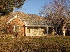 Barnard-Garn-Barber Houselisted 1997
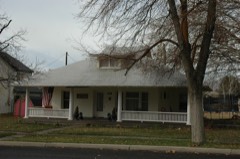 Thomas and Margaret Brandon Houselisted 1997
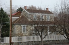 William Capener Houselisted 1984
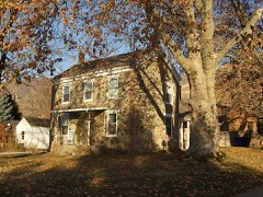 Osmyn and Emily Deuel Houselisted 1997
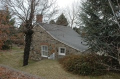 Duncan, John, Harriet, and Eliza Jennett, Houselisted 1997
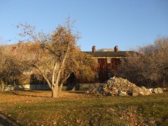 Joseph N. and Algie Ford Houselisted 2005
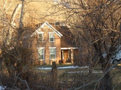 Ford-Rigby Houselisted 1997
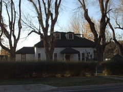 Thomas and Caroline Harris Houselisted 1998
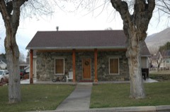 Harris-Tingey Houselisted 1997
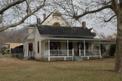 Holland-Smith-Brown Houselisted 1997
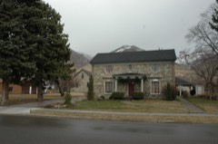 Kilbourn-Leak Houselisted 1997
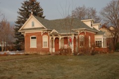 Mills-Hancock Houselisted 2007
Surveyed buildings and structures 2 records
- Arthur H. Pettit House, 42 East One-Hundred South, Centervillefederal building survey, 8 photographs
- Arthur H. Pettit Outbuilding, 42 East 100 South, Assessor's Plat A, Block 21, Lot 3, Centervillefederal building survey, 1 photograph
Population over time
2 figuresCenterville grew from 15,335 to 16,884 between 2010 and 2020. These are the recorded population figures Wikidata holds for this place, reached through the Geographic Names Information System number this page is keyed on rather than by name, so they belong to this place and not to another of the same name. Most are census counts, but not all are: an early figure may be a founding or settlement estimate, and an estimate published within five years of a census is left out. The change column is computed, and is left blank where more than 20 years separate a figure from the one before it, because a gap that long is not a change between two counts.
| Year | People | Change |
|---|---|---|
| 2010 | 15,335 | |
| 2020 | 16,884 | +1,549 (+10%) |
Topographic sheets covering this place
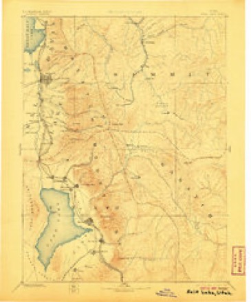
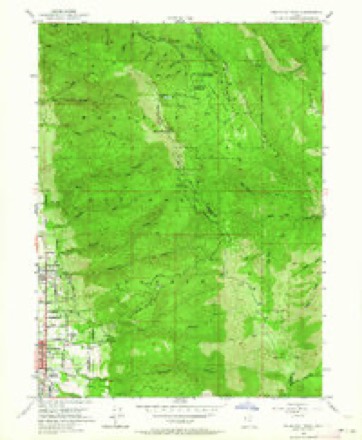
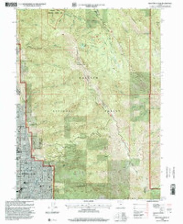
9 surveys from 25 printed sheetsMatched by testing this settlement's coordinate against the published boundary of every sheet in the United States Geological Survey's historical collection. Each opens the scanned sheet at the Survey.
- 1885 USGS Salt Lake quadrangle1:250000, 7 printings
- 1925 USGS Ft. Douglas quadrangle1:125000
- 1928 USGS Ft. Douglas quadrangle1:125000, 2 printings
- 1952 USGS Bountiful Peak quadrangle1:24000, 5 printings
- 1954 USGS Salt Lake City quadrangle1:250000, 4 printings
- 1958 USGS Salt Lake City quadrangle1:250000
- 1960 USGS Salt Lake City quadrangle1:250000
- 1980 USGS Salt Lake City quadrangle1:100000, 3 printings
- 1998 USGS Bountiful Peak quadrangle1:24000
Photographs
1 photograph,Taken for the Office of War Information and the Farm Security Administration, who photographed the country between 1935 and 1944. Works of United States government photographers, with no known restriction on use. Each opens its catalogue record.
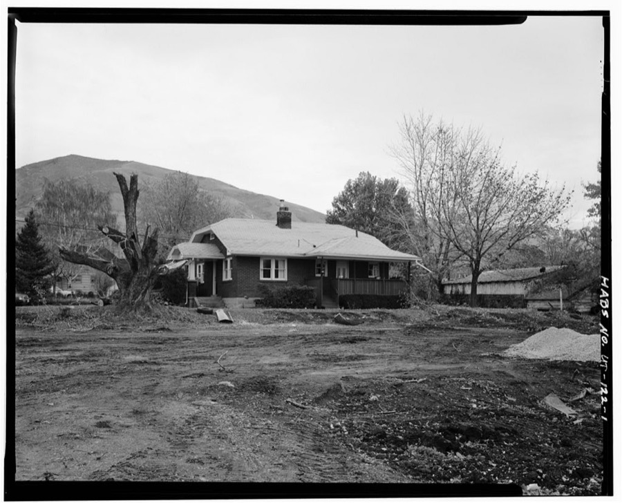
Photographer not recorded. Library of Congress
Fires near this place
75 since 1992Regional context, not property-specific evidence. The federal wildfire occurrence database lists 75 fires within 5 miles of Centerville between 1992 and 2020, burning about 3,302 acres in total. 10 started naturally. 5 were recorded as arson. Distance is straight-line from the map coordinates, so a fire counted here may appear on a neighbouring settlement's page as well.
| Reported cause | Fires |
|---|---|
| Missing data/not specified/undetermined | 22 |
| Recreation and ceremony | 18 |
| Natural | 10 |
| Fireworks | 9 |
| Equipment and vehicle use | 6 |
| Arson/incendiarism | 5 |
| Misuse of fire by a minor | 4 |
| Smoking | 1 |
The most recent of them, most recent first, with the day each was reported and the service that recorded it.
| Date | Cause | Size | Reported by | Name on the report |
|---|---|---|---|---|
| 6 September 1994 | Natural | under an acre | Uinta-Wasatch-Cache National Forest | LUCKY LYNN |
| 6 September 1994 | Natural | under an acre | Uinta-Wasatch-Cache National Forest | TELEPHONE POLE |
| 3 September 2012 | Natural | under an acre | Uinta-Wasatch-Cache National Forest | FARMINGTON FLAT |
| 28 September 2014 | Recreation and ceremony | under an acre | Uinta-Wasatch-Cache National Forest | BUCKLAND 2 |
| 22 September 1992 | Natural | under an acre | Uinta-Wasatch-Cache National Forest | not named |
| 16 September 2000 | Recreation and ceremony | under an acre | Uinta-Wasatch-Cache National Forest | BUCKLAND FLAT |
| 15 September 2011 | Missing data/not specified/undetermined | 37 acres | Uinta-Wasatch-Cache National Forest | PARRISH |
| 14 September 2016 | Natural | under an acre | Utah Division Forestry Fire State Lands | WARD |
Settlements close enough to share some of these fires:
Mines and quarries near this place
10 of 25 shownRegional context, not property-specific evidence. The federal mineral resources record lists 25 workings within 5 miles of Centerville: 9 occurrences, 7 prospects, 4 past producers, 3 producers. 3 still produce. What was taken out: Sand and Gravel, Construction, Beryllium, Copper, Quartz. Distance is straight-line from the map coordinates, so a quarry counted here may appear on a neighbouring settlement's page as well.
| Where | Site | Commodity | Status | Recorded |
|---|---|---|---|---|
| Buckland Mining and Development Prospect | Copper, Silver, Iron | Occurrence | Vein | |
| Foulger | Quartz | Occurrence | ||
| Lucky L | Uranium | Occurrence | ||
| Morning Star Claims Group | Copper, Gold | Occurrence | ||
| Upper Ward Canyon Prospects | Copper, Lead, Zinc | Occurrence | Underground | |
| Beryl | Beryllium | Occurrence | ||
| Beryl | Beryllium | Occurrence | ||
| Se Centerville Canyon Prospect | Copper | Occurrence | Vein | |
| Sw Centerville Canyon Prospect | Copper | Occurrence | Malachite | |
| Alvie's Concrete Inc | Sand and Gravel, Construction | Producer |
Storms near this place
9 since 1994Regional context, not property-specific evidence. The National Weather Service names Centerville in 9 storm reports between 1994 and 2026: 4 thunderstorm wind, 2 hail, 2 flash flood, 1 tornado. No death or injury is recorded in these reports. Each account below is quoted exactly as the forecast office filed it, from the NOAA Storm Events Database, and each date opens the federal record of that event.
| When | Event | Place named | Harm | What the report says |
|---|---|---|---|---|
| August 2021 | Flash Flood | Centerville | $100,000 | Flash flooding was reported on the Bountiful Bench, with water flowing through a home. |
| July 1995 | Tornado (F0) | Centerville | $10,000 | Severe pre-frontal thunderstorms developed along the Wasatch front. In the Kearns area, gusts were measured at 58 mph. In the Centerville area, a gustnado occurred. Witnesses indicated they heard a train sound and saw both trees and dirt moving in circular motions. The overall damage path was about 0.5 miles long and less than 0.1 mile wide. The gustnado moved from south to north, with it apparently skipping into the air, not causing damage along the entire path length. One witness was briefly lifted into the air as the gustnado passed over. One house incurred $10,000 in damage. They reported severe tree damage, had two skylights lifted from part of the roof, and had an electric junction box removed from the side of the house. Their next door neighbor reported that two-inch diameter willow branches were removed from the tree, transported 100 feet and over a single story building, and were wrapped tightly around the base of another tree. At a third house, a flag pole that had previously withstood 90 mph winds was snapped. The gustnado bent a six-foot chain fence to a 45 degree angle towards the east. |
| October 2004 | Flash Flood | Centerville | $10,000 | no account filed |
| April 2026 | Thunderstorm Wind | Centerville | - | Public reported a large branch to around 6 inches in diameter was snapped from a severe wind gust associated with a thunderstorm. A photo was shared on social media. |
| May 2025 | Thunderstorm Wind | Centerville | - | The EW2533 Bountiful Bench mesonet station recorded a wind gust of 59 mph as a result of outflow winds associated with a nearby cluster of showers and thunderstorms moving through the area. |
| September 2014 | Thunderstorm Wind | Centerville | - | A 62 mph wind gust was recorded at the Bountiful Bench. |
| August 2006 | Hail | Centerville | - | Unofficial report of ping-pong ball size hail. Radar estimates 1 to 1.5" so report is possible. 3/4" report also from Centerville. |
| June 2000 | Hail | Centerville | - | Severe thunderstorms brought 3/4-1 inch hail to the Centerville area, damaging tree limbs along with a few gardens. |
| May 1994 | Thunderstorm Wind | Centerville | - | no account filed |
Nearest settlements
The eight closest, with where each one stands in the county. Distances are straight-line, computed from the Geographic Names Information System coordinates.
| Map | Place | Distance | Sheets |
|---|---|---|---|
| Hillcrest | 0.2 miles | 25 | |
| Florece | 0.2 miles | 25 | |
| Sheridan | 0.3 miles | 25 | |
| Valley View Heights | 0.3 miles | 25 | |
| Deuel Creek Heights | 0.3 miles | 25 | |
| Major | 0.3 miles | 25 | |
| Circle View Heights | 0.4 miles | 25 | |
| Parrish Heights | 0.4 miles | 24 |
Elsewhere
Matched on this settlement's Geographic Names Information System number rather than its name, so it cannot be a different place of the same name in another state.
| Wikipedia article on Centerville | An encyclopaedic summary. Its text is share-alike, so it is linked here rather than copied. |
| Wikidata item Q483235 | The structured record the population and elevation above come from. Public domain (CC0). |
Provenance
This settlement is recorded in the Geographic Names Information System as feature 1439622. The sheet list is computed by point-in-boundary test against the United States Geological Survey's historical topographic inventory. Both are works of the United States government and carry no copyright under 17 U.S.C. 105.
Wildfire. Short, Karen C. 2022. Spatial wildfire occurrence data for the United States, 1992-2020 [FPA_FOD_20221014]. 6th Edition. Fort Collins, CO: Forest Service Research Data Archive. https://doi.org/10.2737/RDS-2013-0009.6 Collected with United States Government funding and usable without additional permissions or fees.
Mines and quarries. USGS Mineral Resources Data System (MRDS) https://mrdata.usgs.gov/mrds/ A work of the United States government, no copyright under 17 U.S.C. 105.
Storms. NOAA National Centers for Environmental Information, Storm Events Database https://www.ncei.noaa.gov/stormevents/ A work of the United States government, no copyright under 17 U.S.C. 105. Narratives are quoted verbatim from the National Weather Service report and are not edited or summarised.