Block
From the record
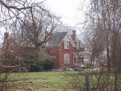
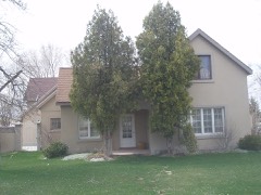
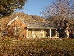
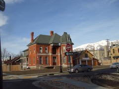
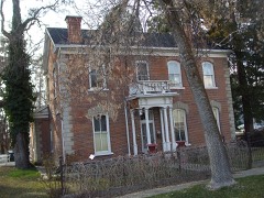
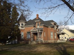
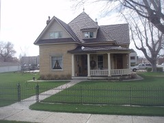
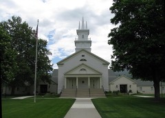
70 National Register listings published here.
Sources: the National Register database, National Park Service
86 topographic sheets and 7 fire insurance atlases across 3 places.
70 National Register listings published here.
Sources: the National Register database, National Park Service
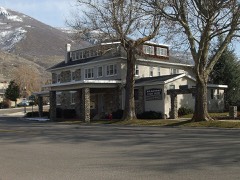
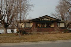
Taken for the Office of War Information and the Farm Security Administration, who photographed the country between 1935 and 1944. Works of United States government photographers, with no known restriction on use. Each opens its catalogue record.
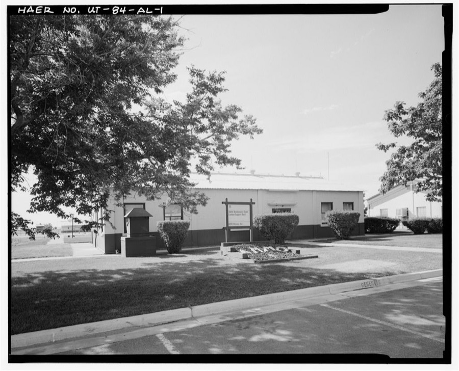
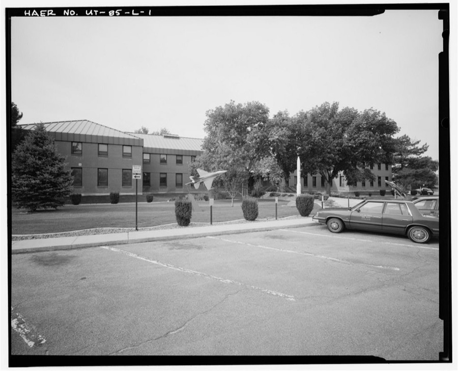
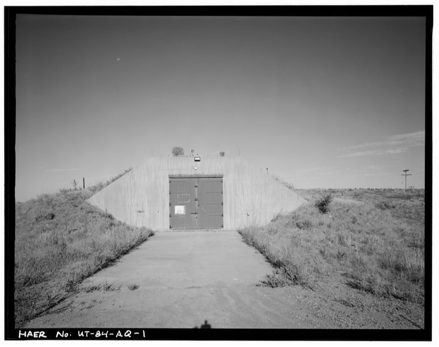
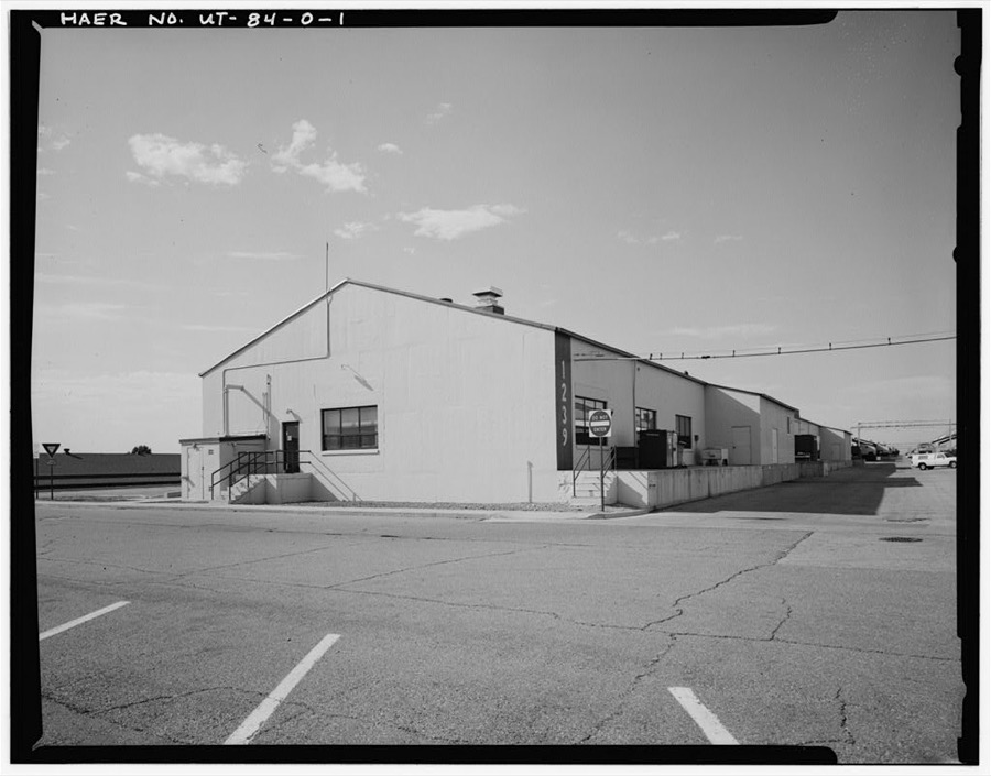
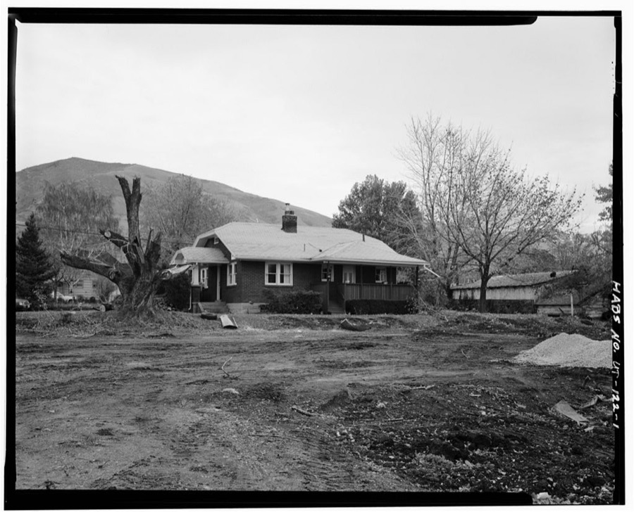
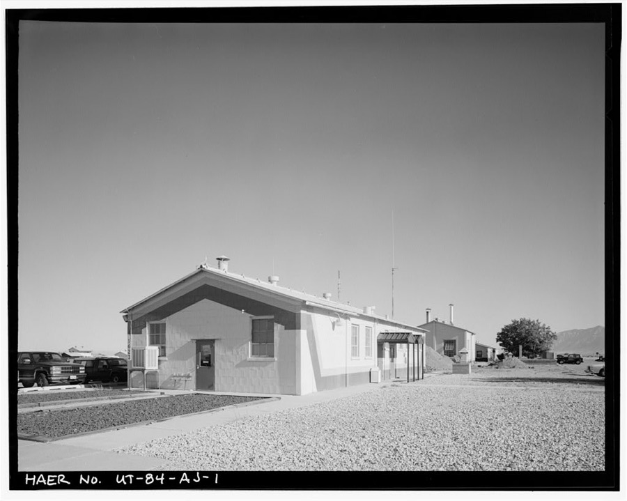
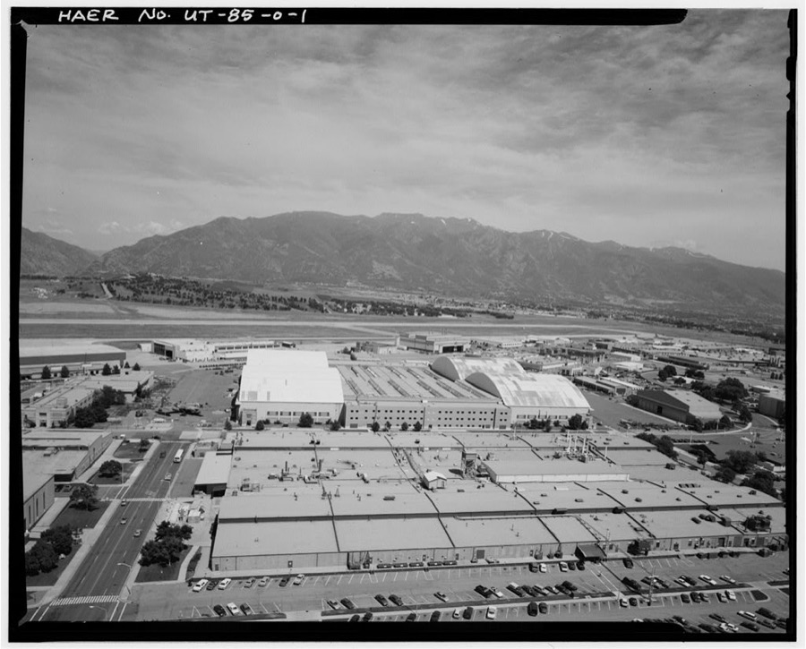
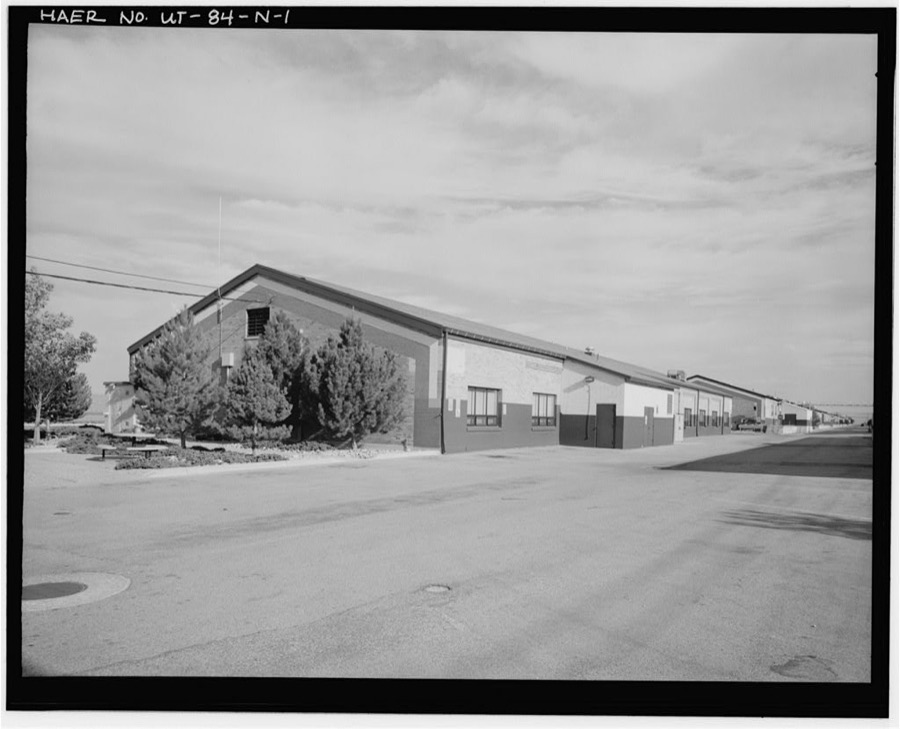
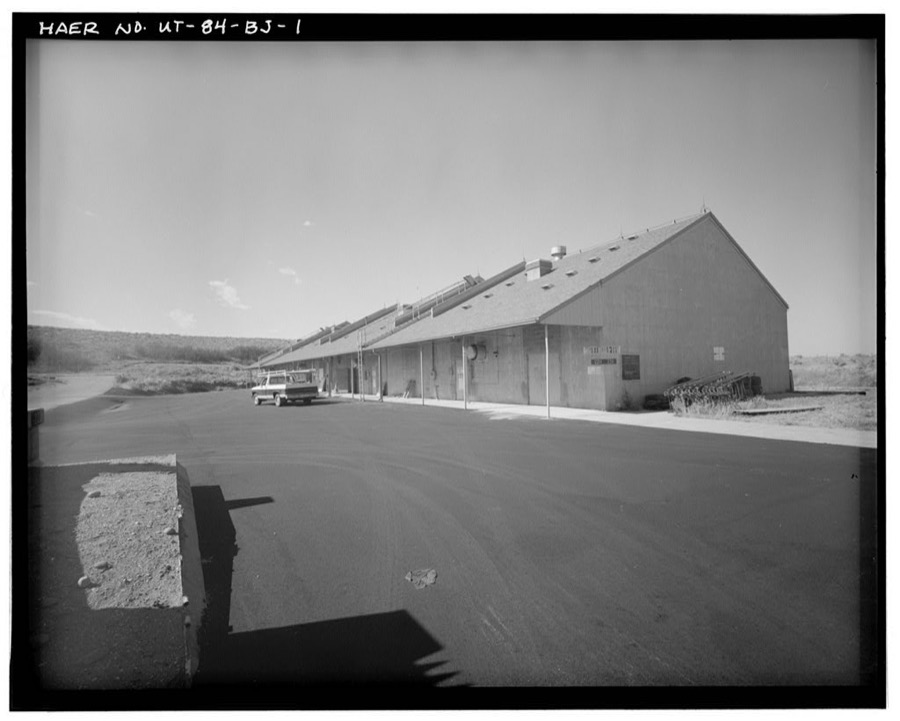
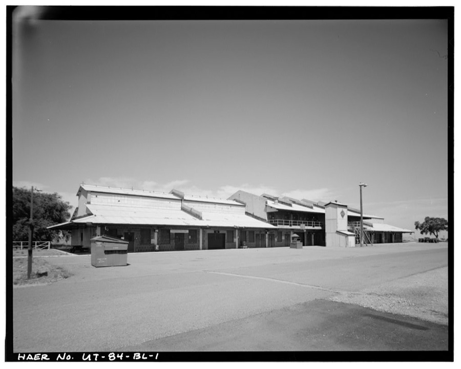
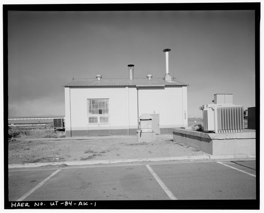
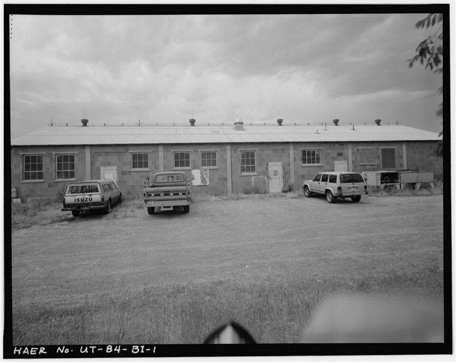
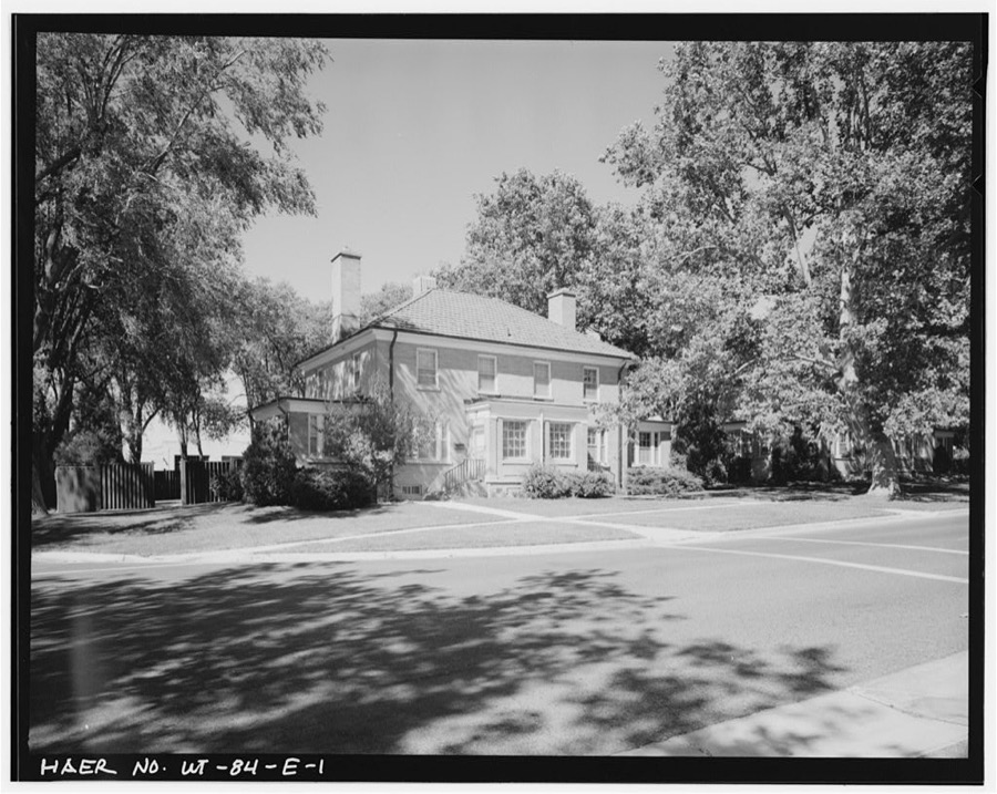
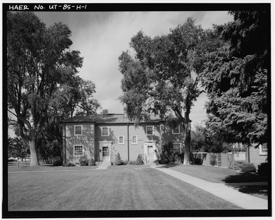
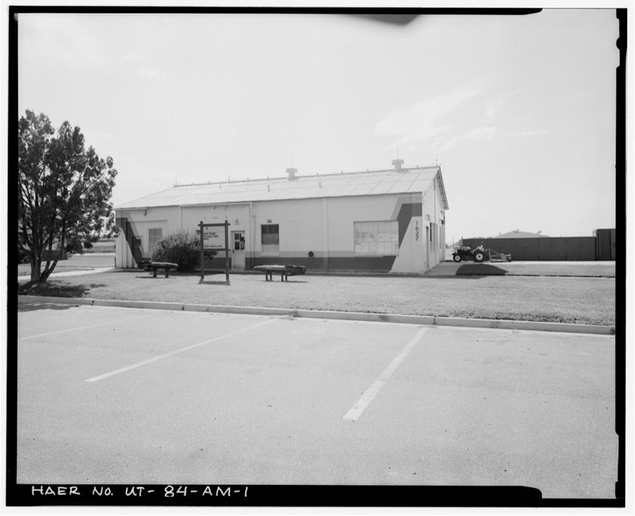
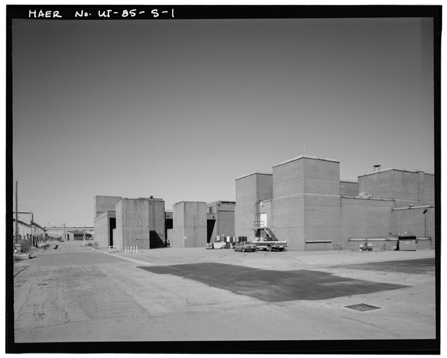
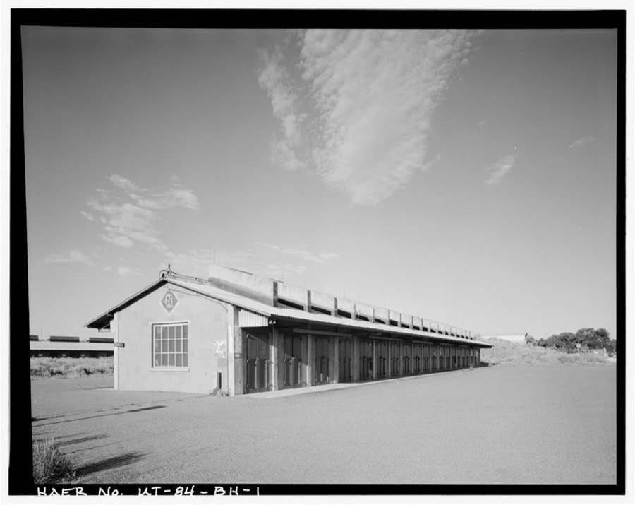
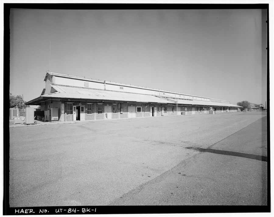
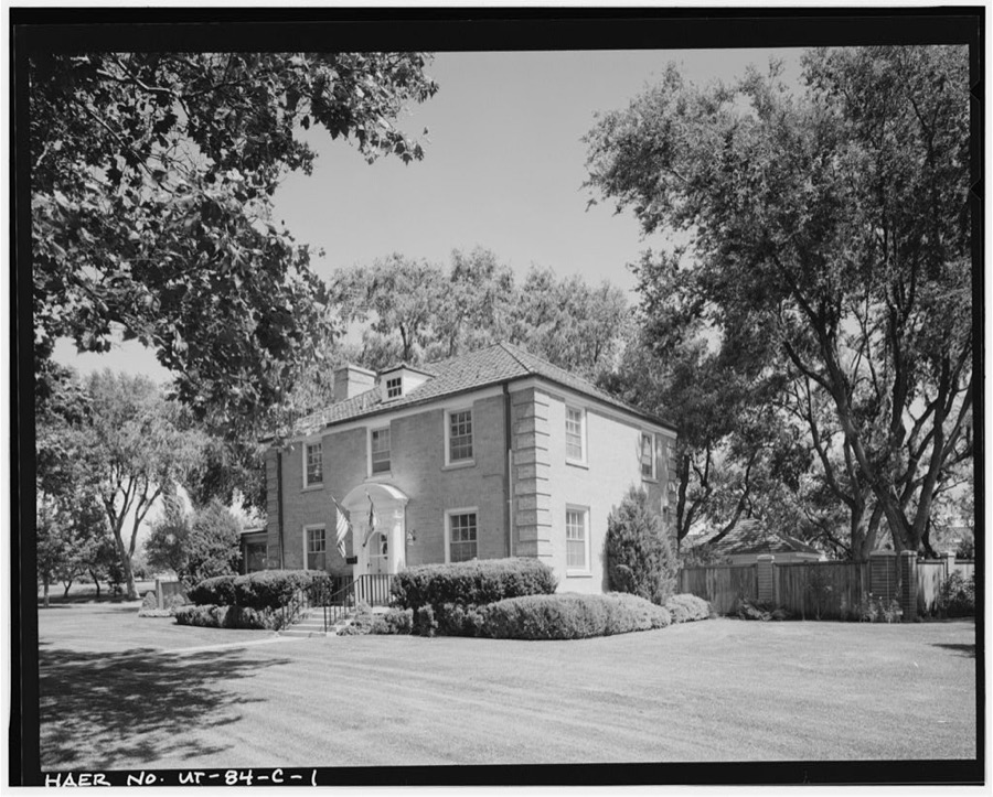
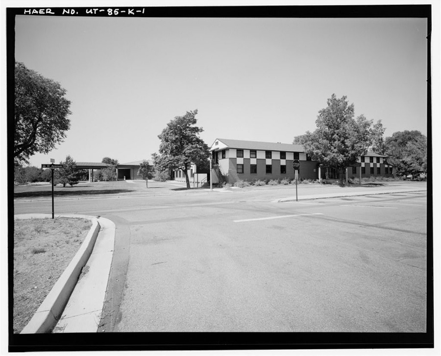
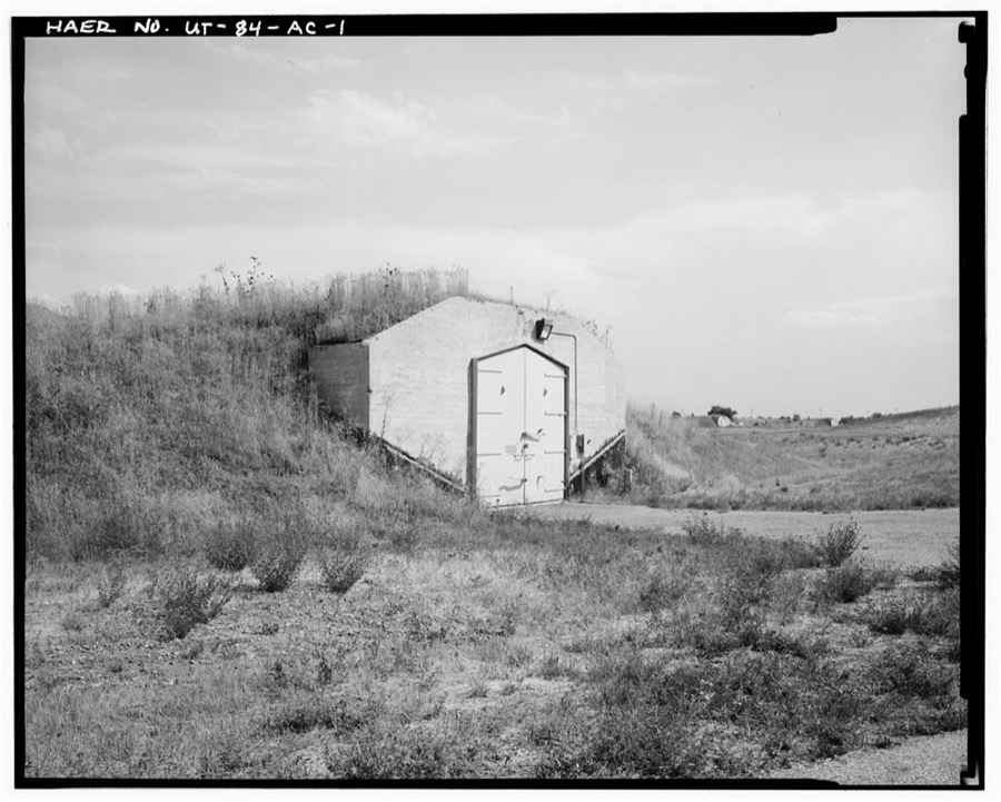
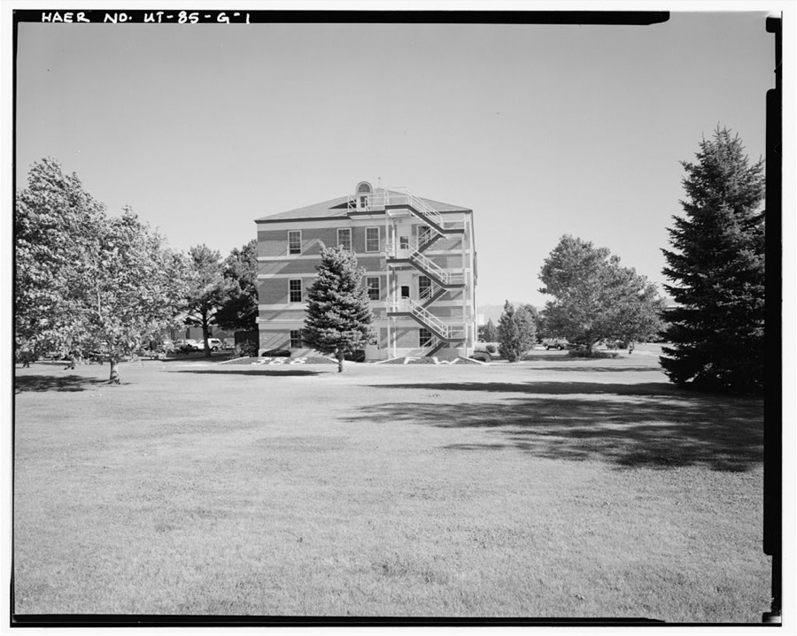
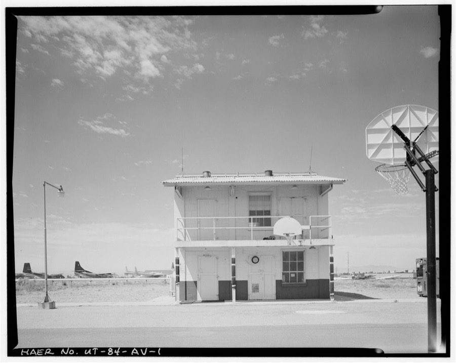
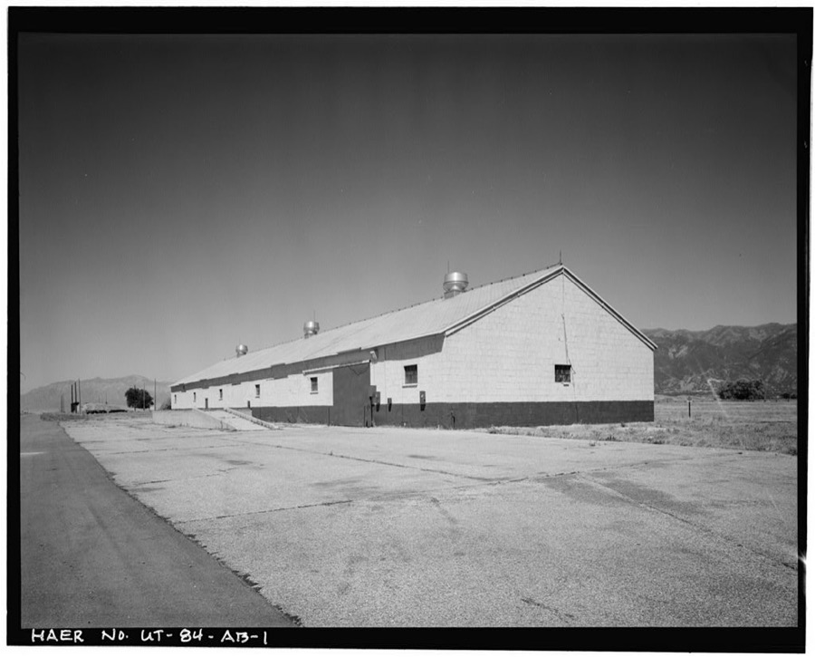
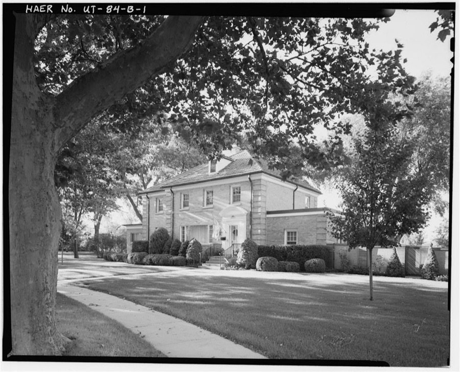
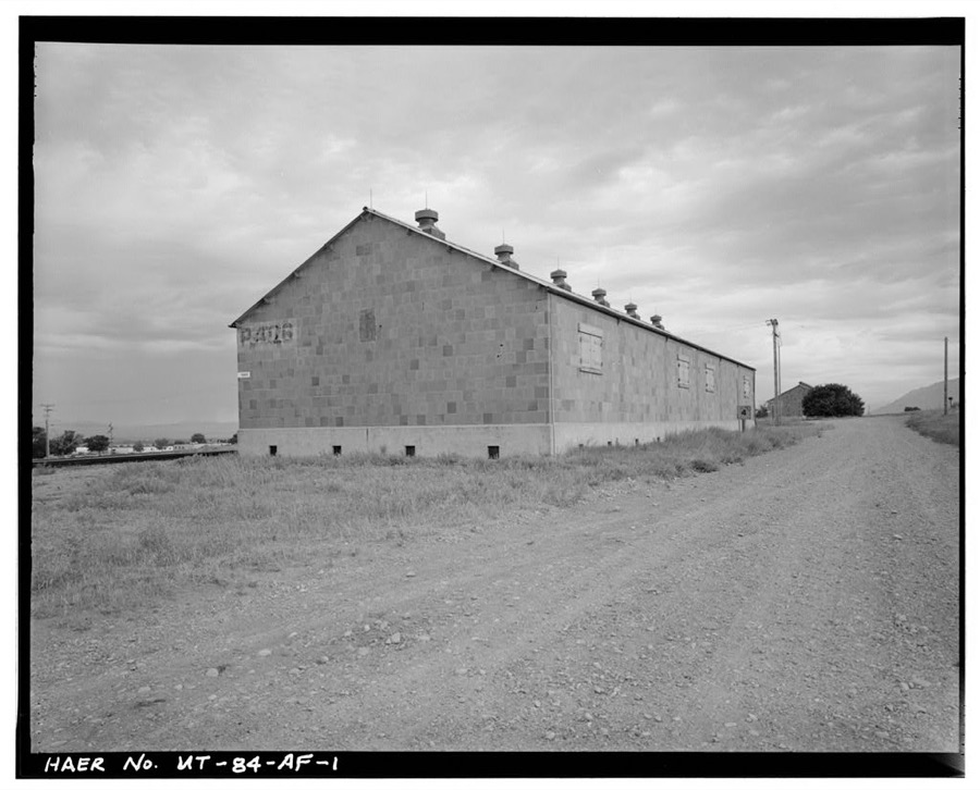
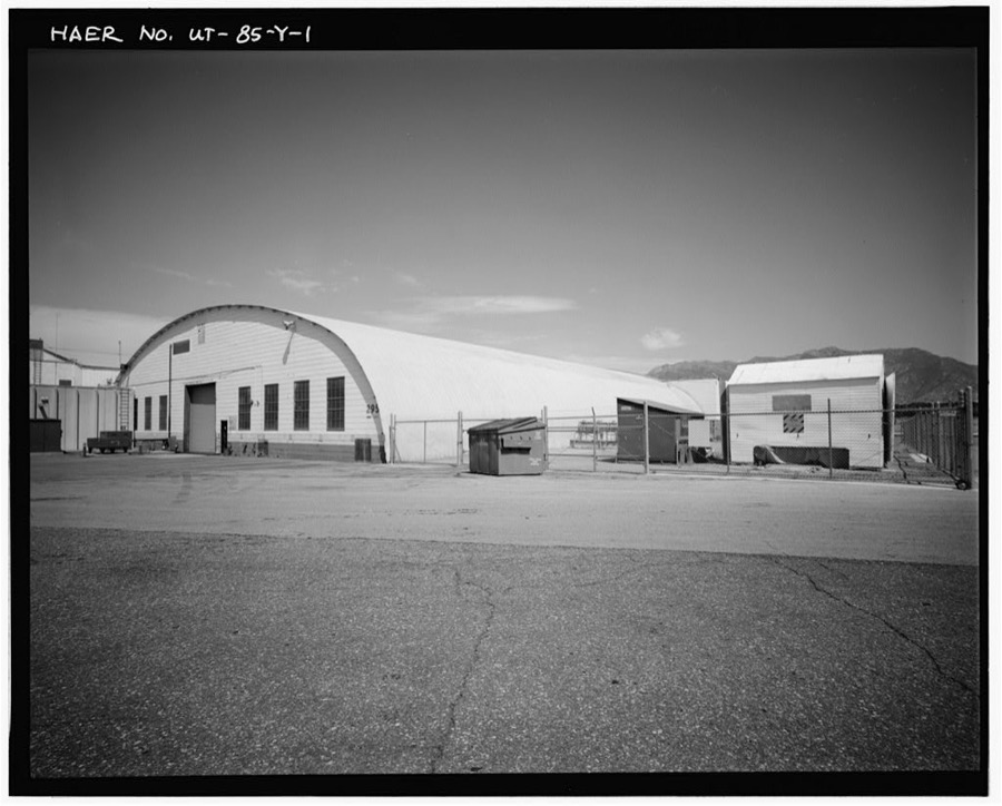
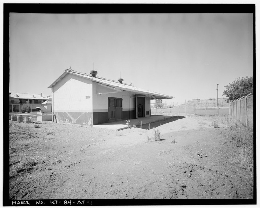
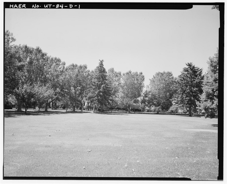
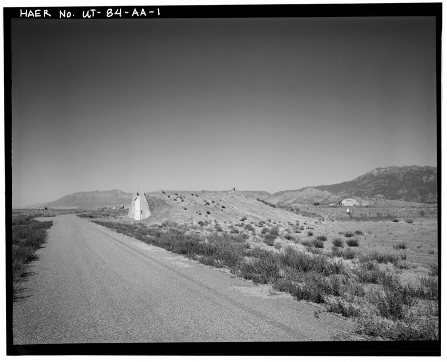
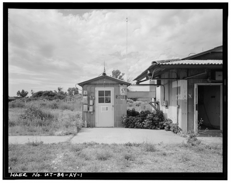
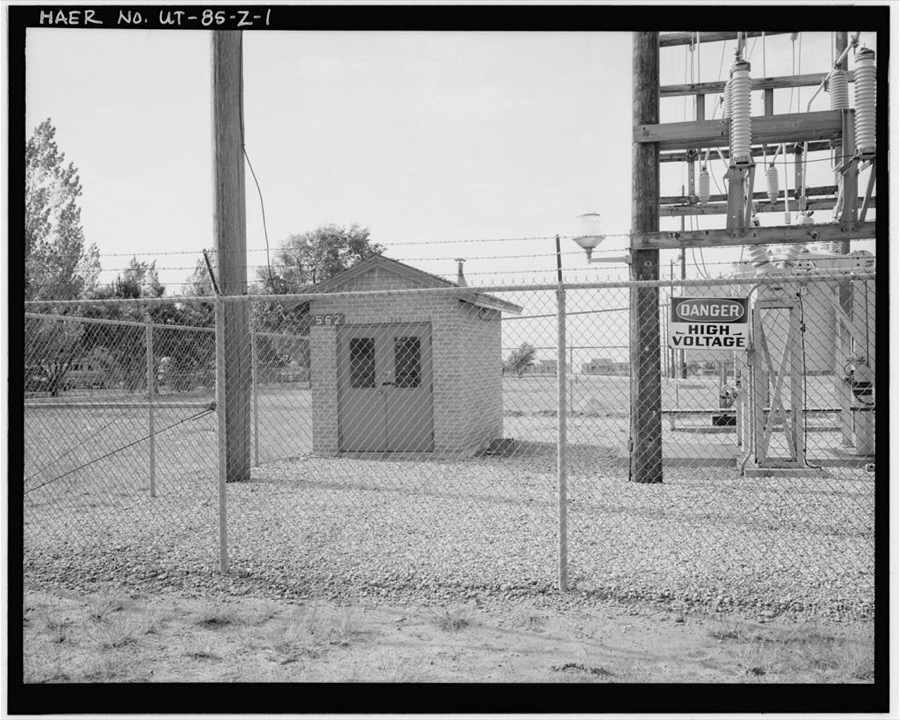
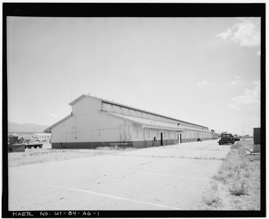
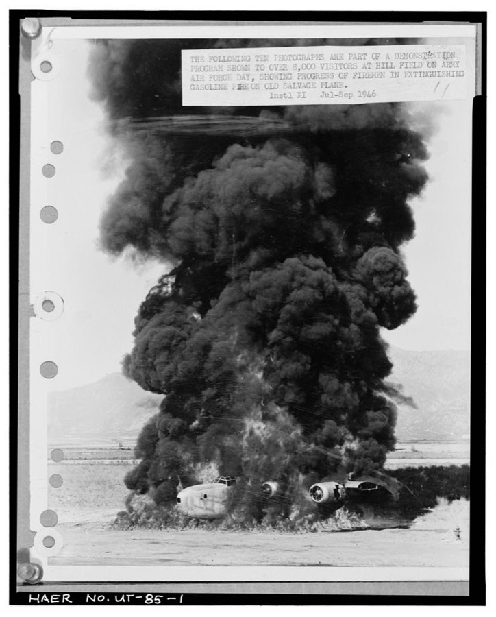
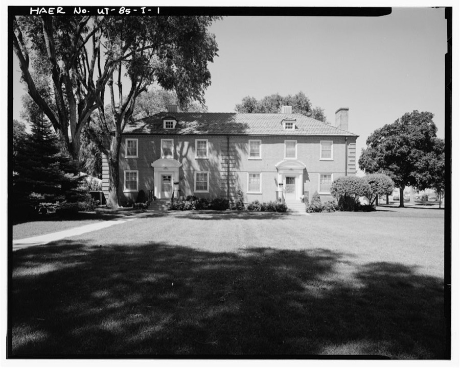
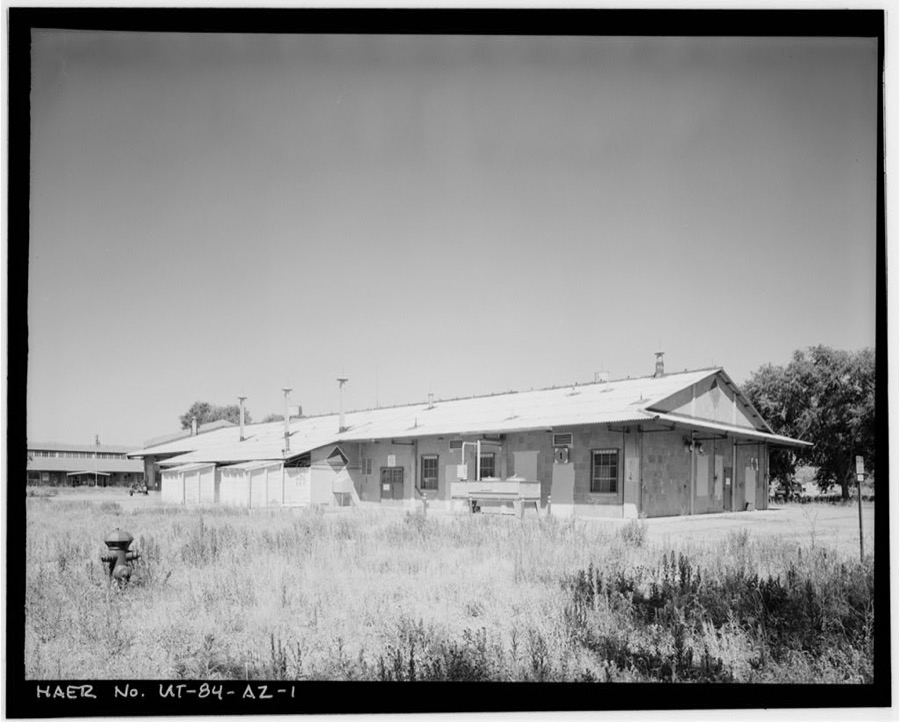
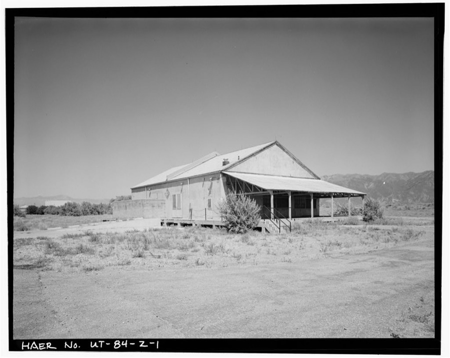
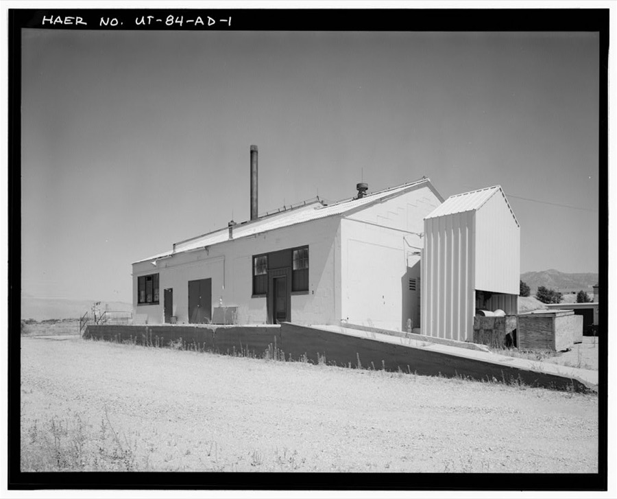
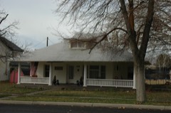
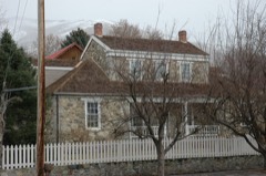
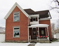
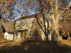
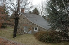
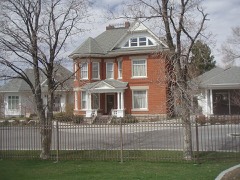
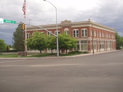
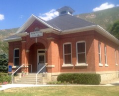
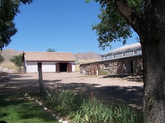
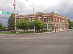
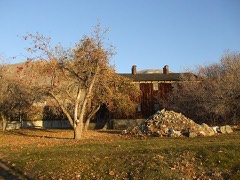
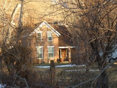
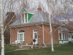
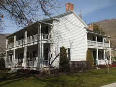
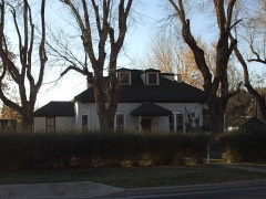
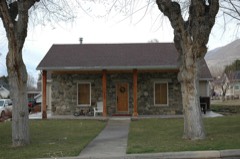
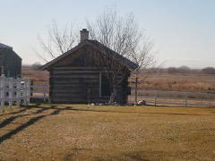
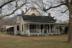
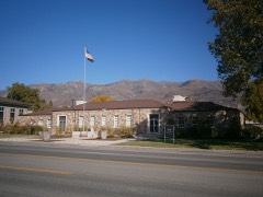
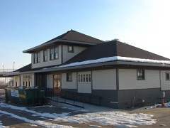
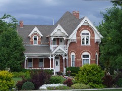
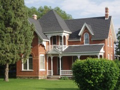
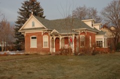
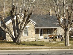
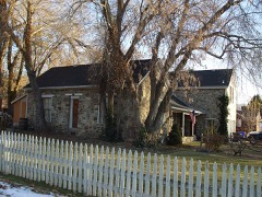
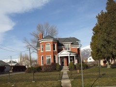
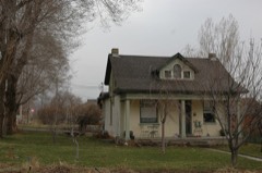
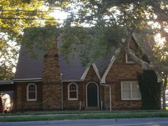
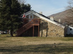
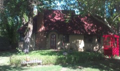
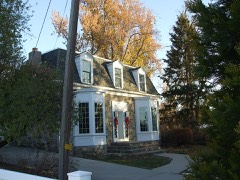
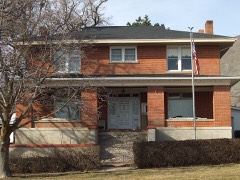
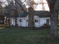
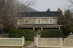
Every property in this county listed on the National Register of Historic Places, with the year it was listed and the federal nomination document.
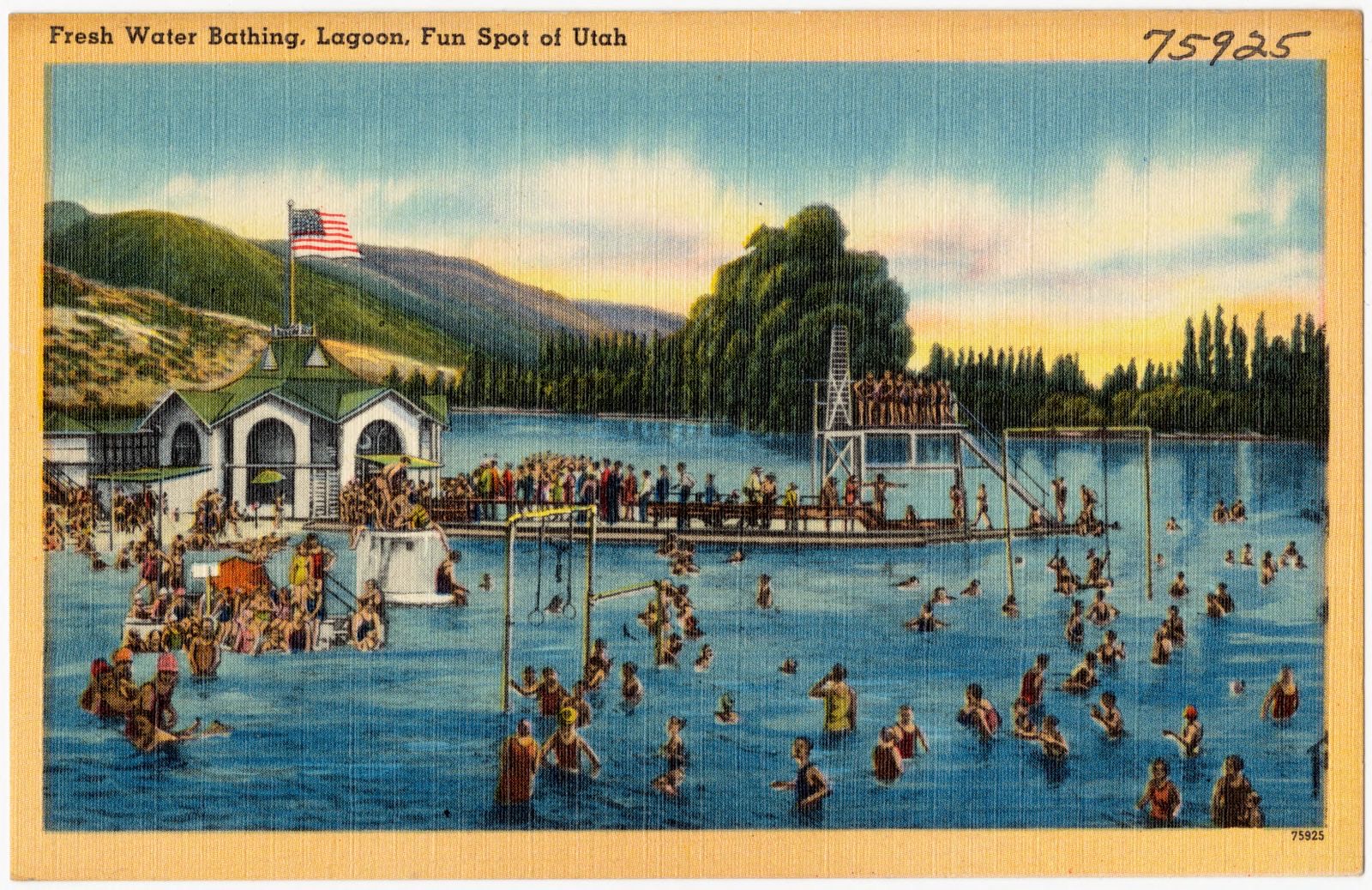
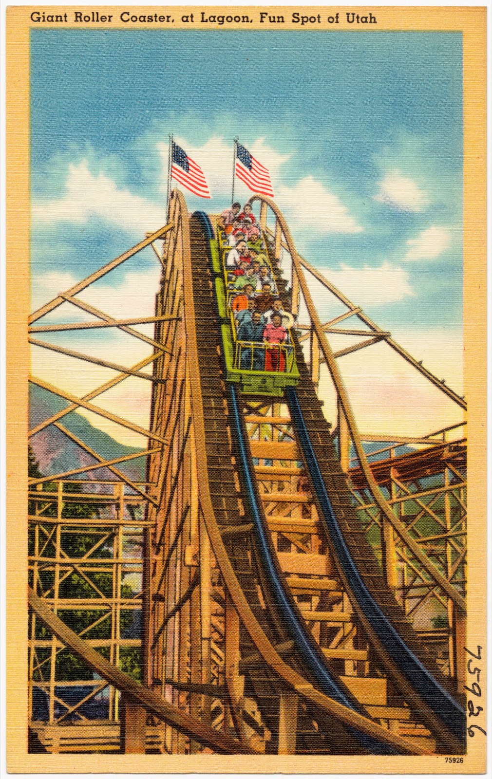
Selected from the Digital Public Library of America's 7 image records catalogued for this county. Every one shown here carries a public-domain status or a licence that permits reuse on a site that carries advertising; non-commercial, share-alike and restricted images are excluded. The selection is spread across the county's towns (at most eight per town), so no single institution's bulk upload crowds out the rest. Each opens the holding library's record, and the complete set at the Digital Public Library of America is one click away.
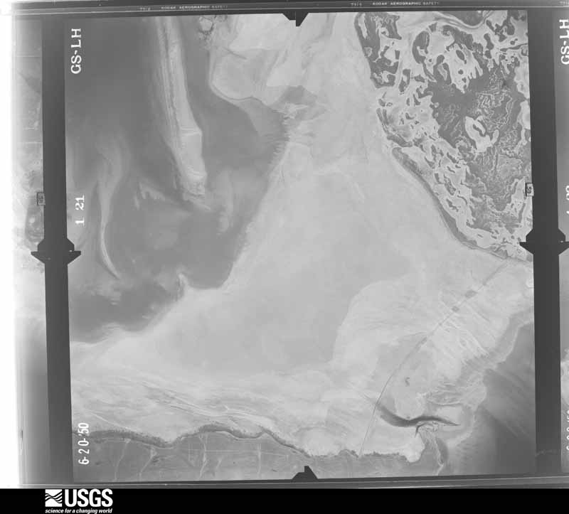
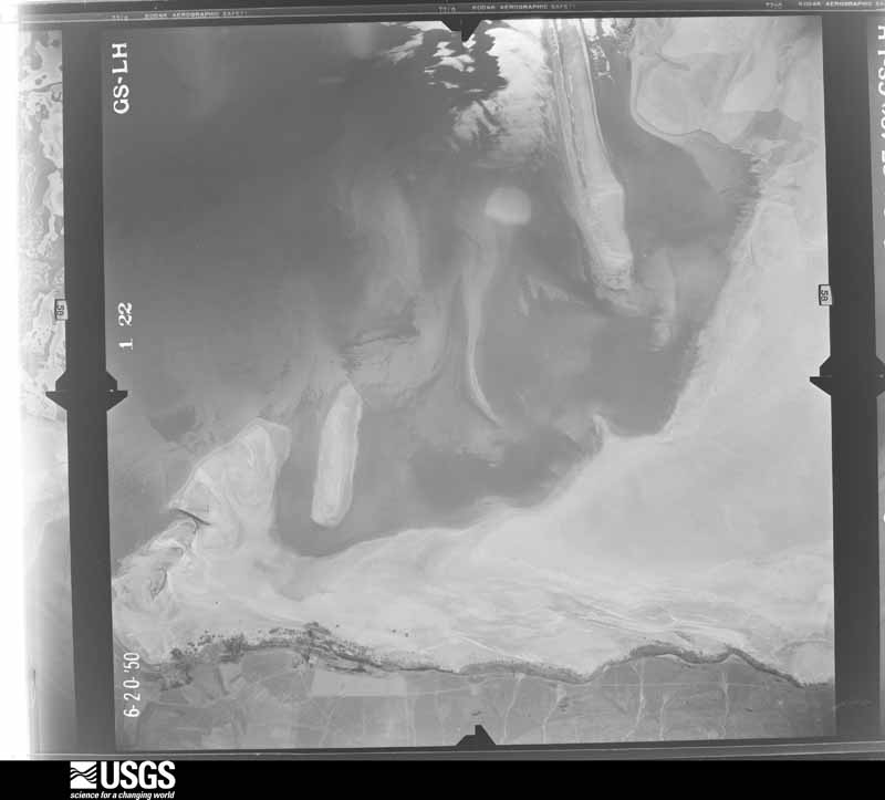
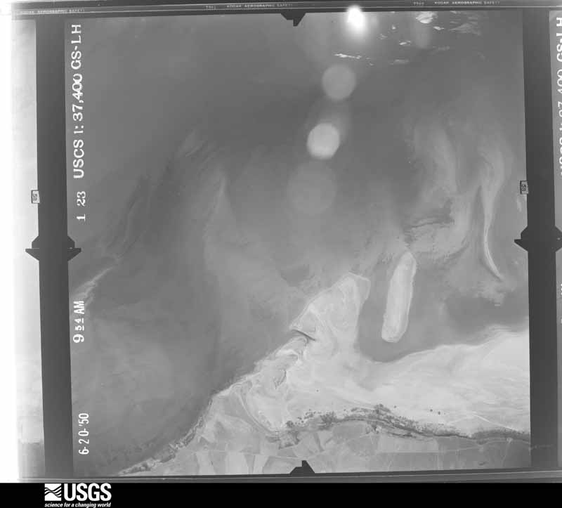
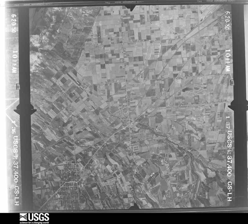
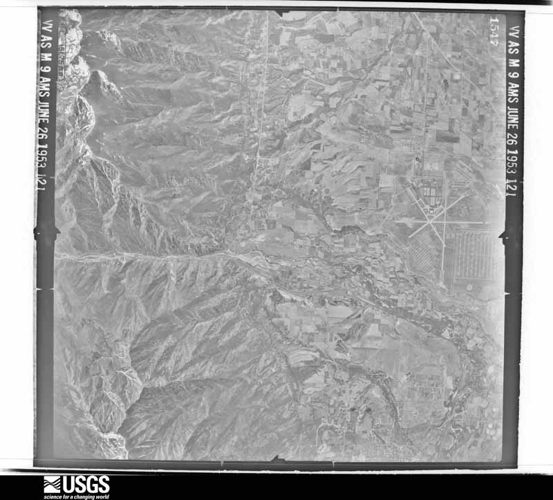
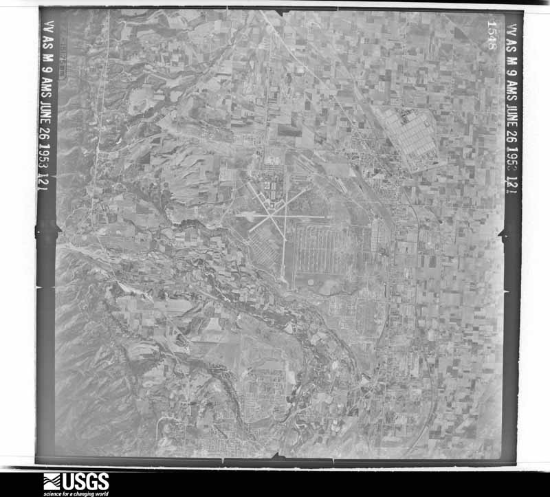
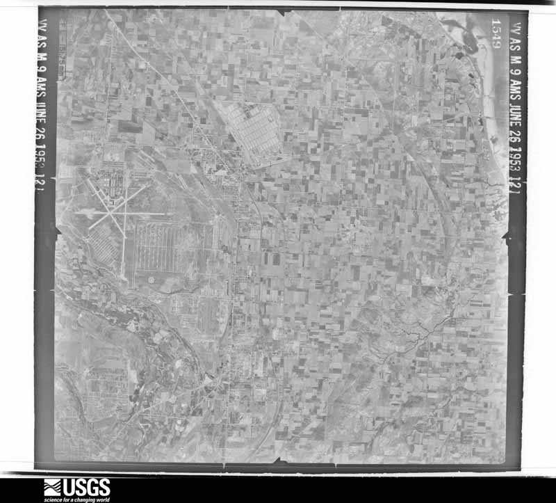
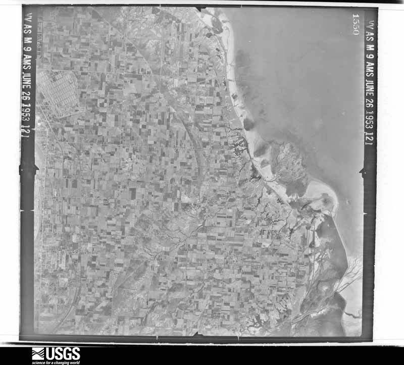
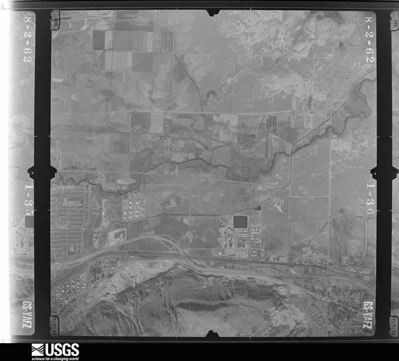
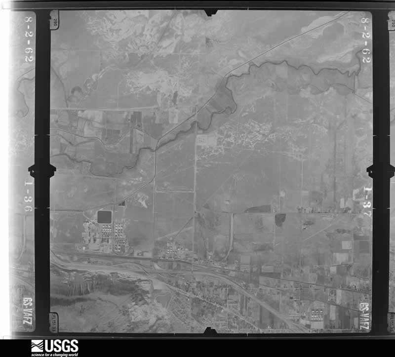
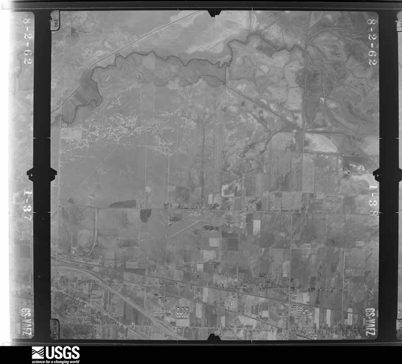
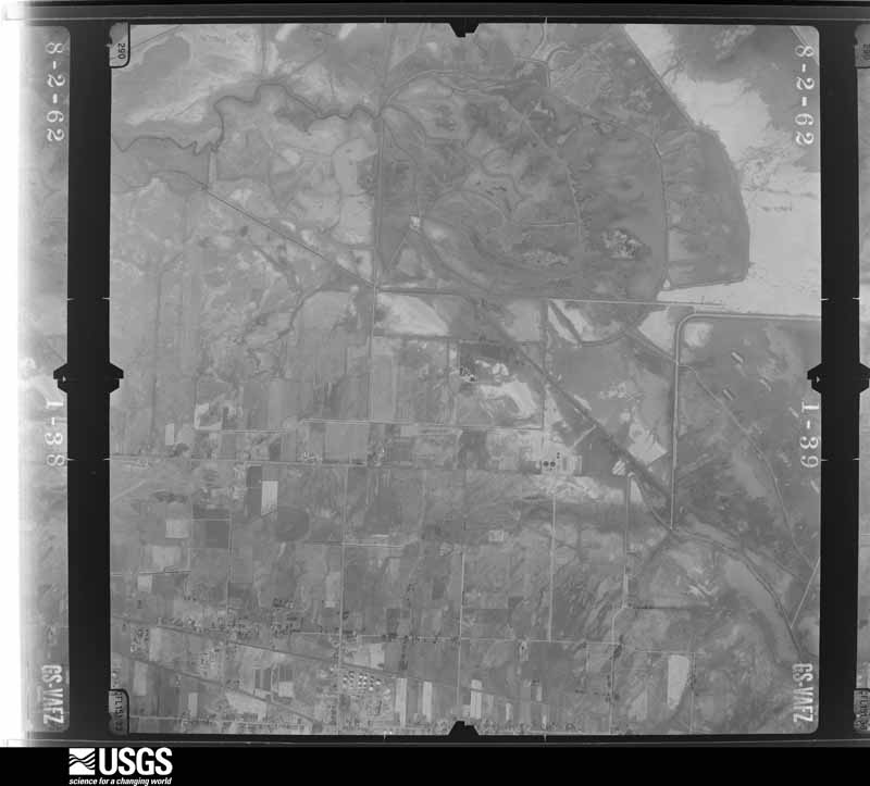
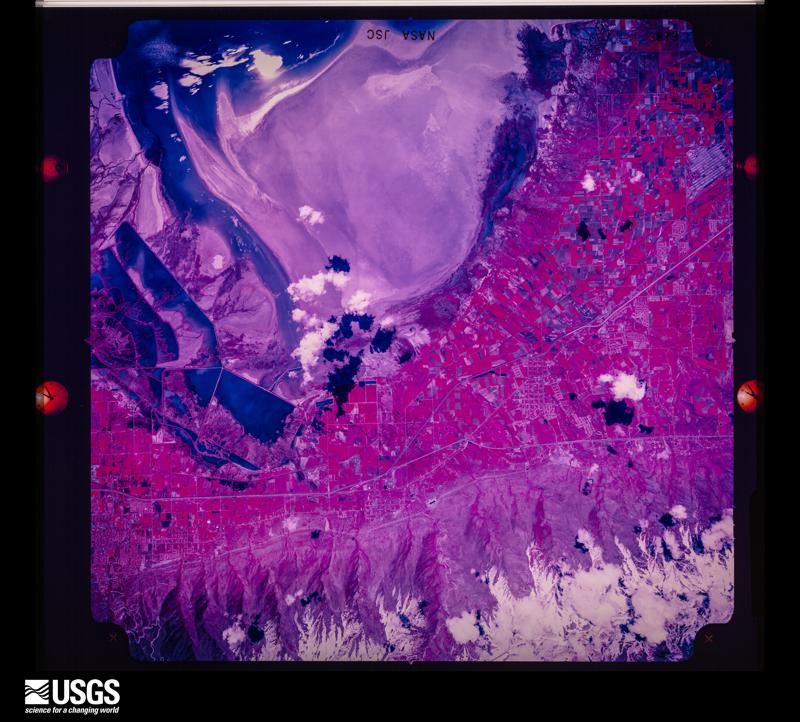
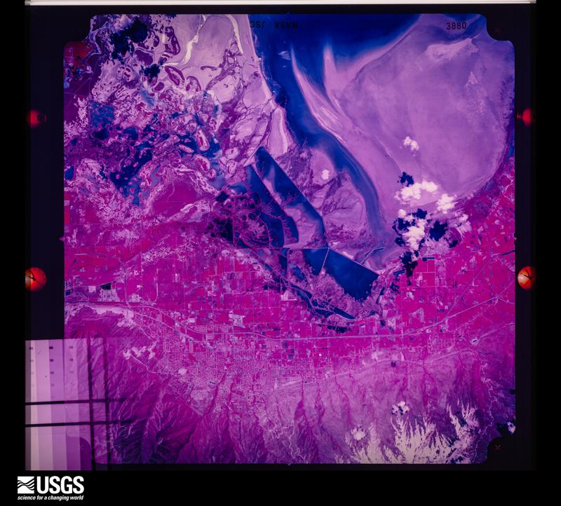
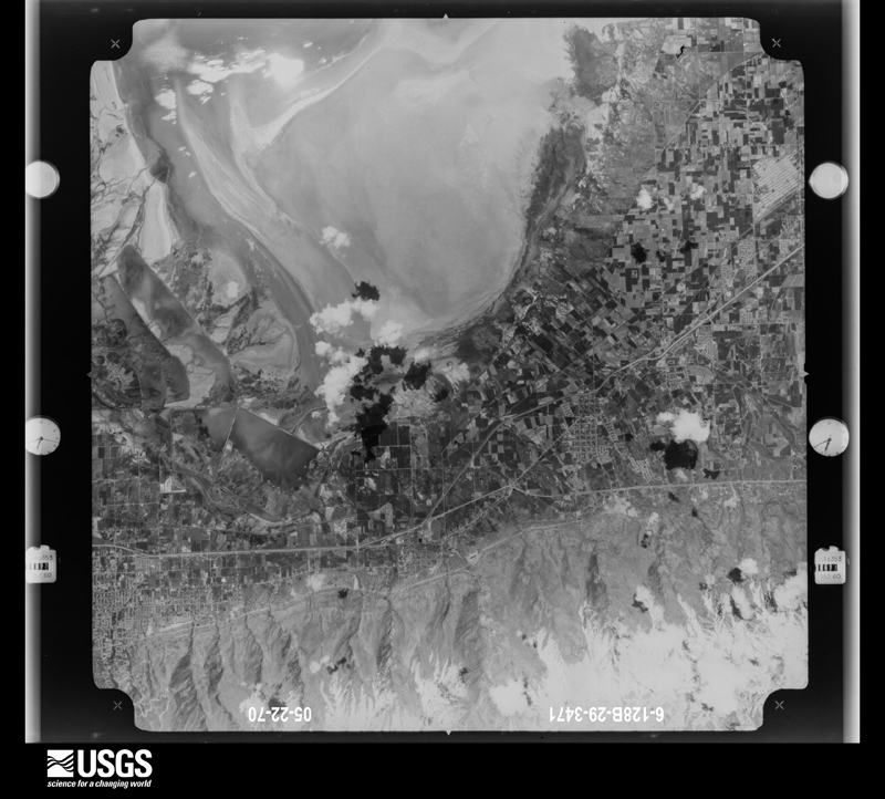
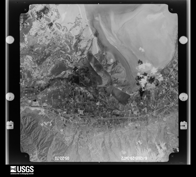
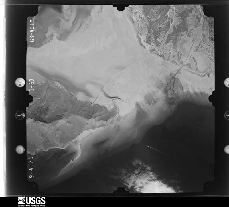
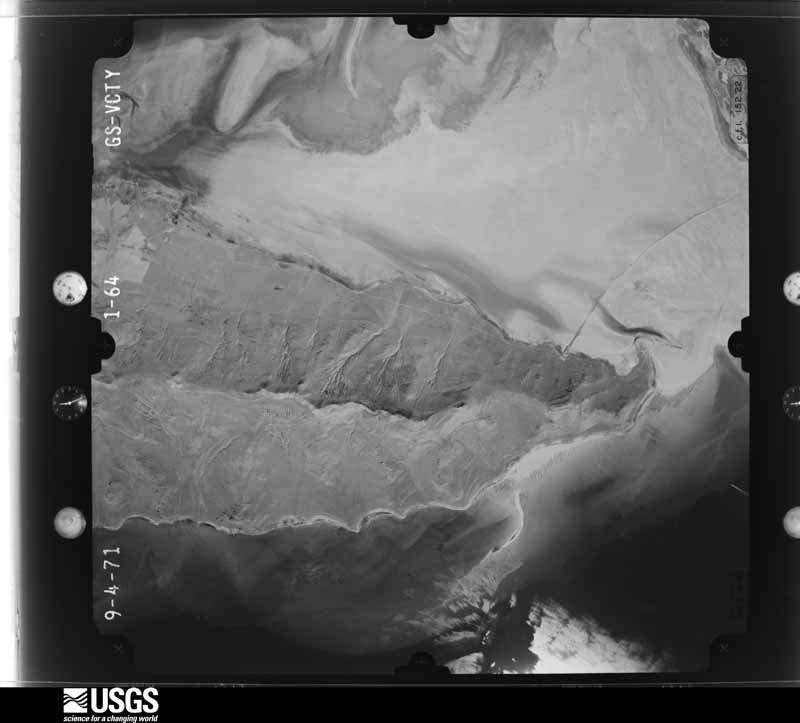
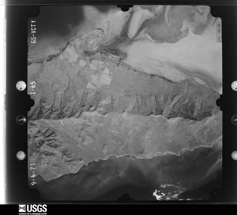
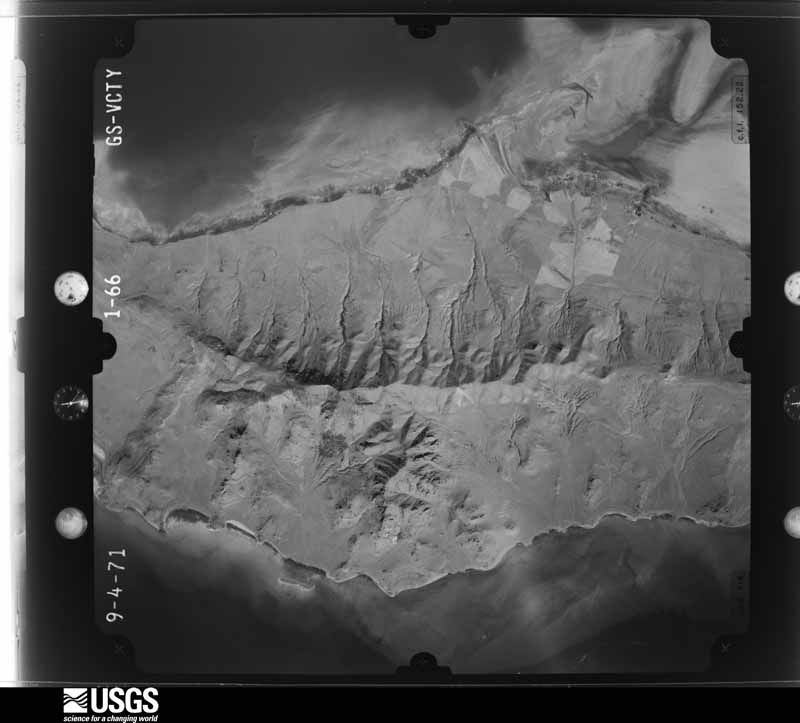
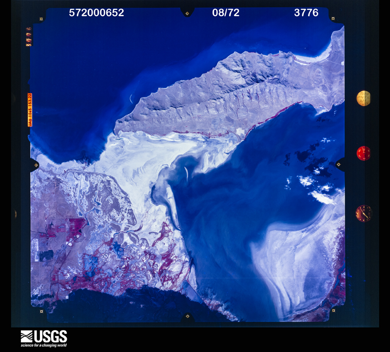
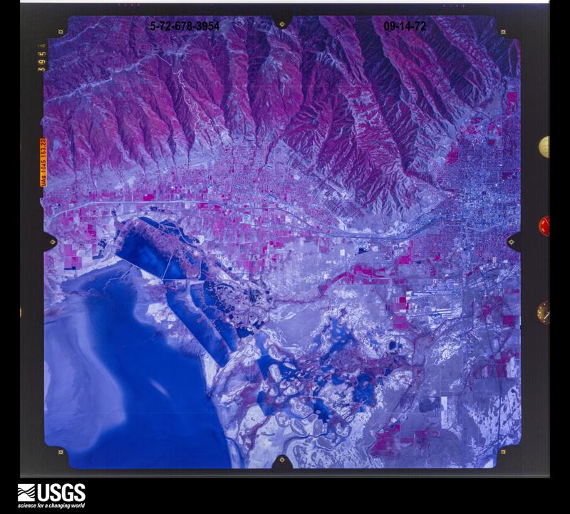
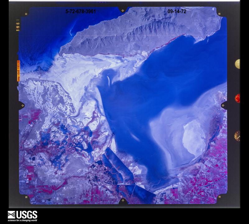
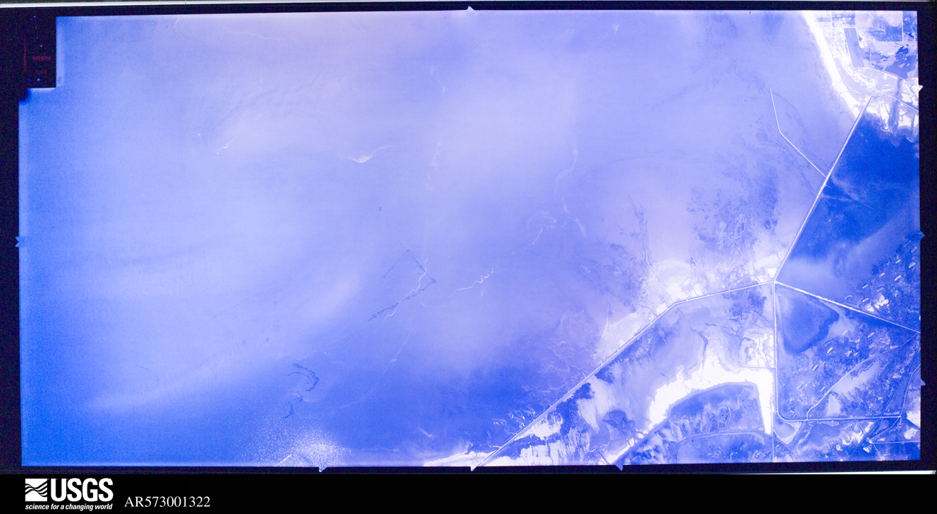
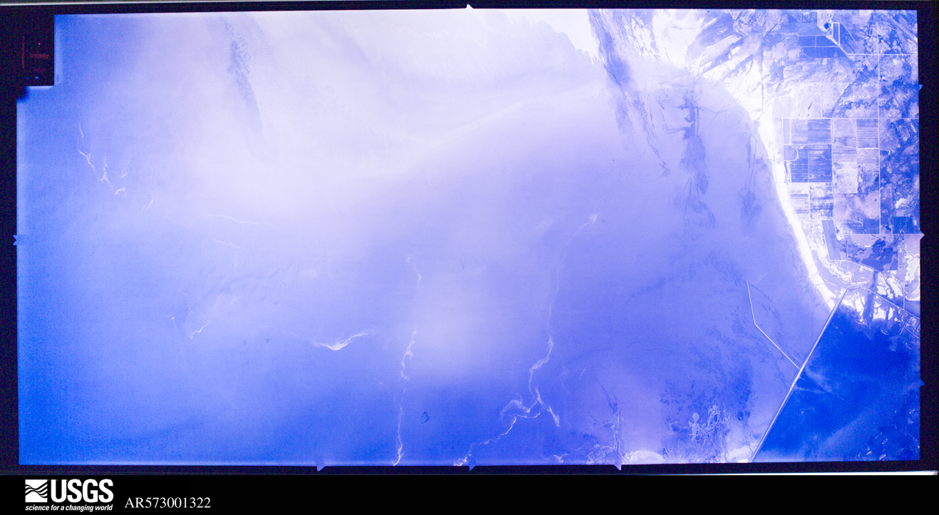
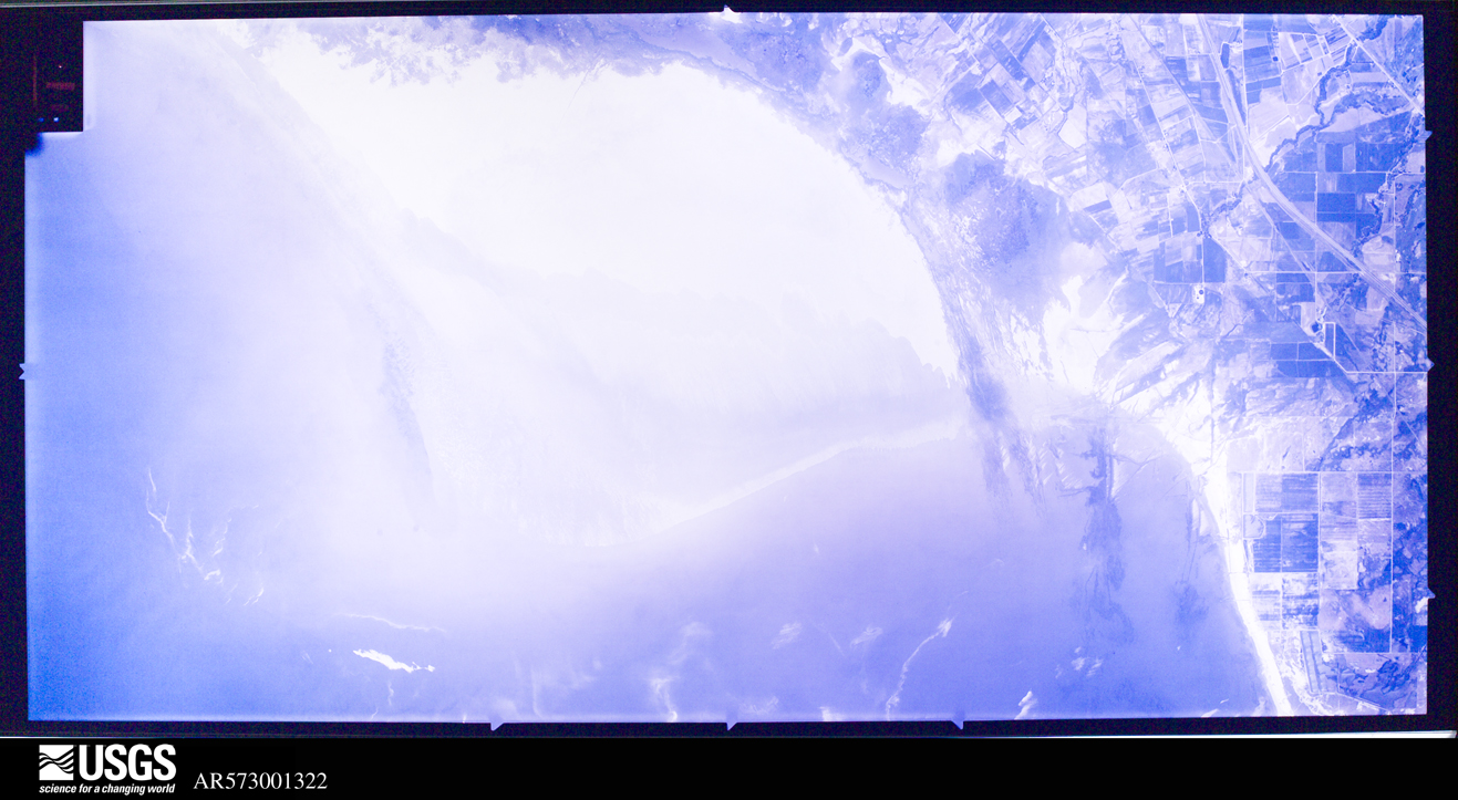
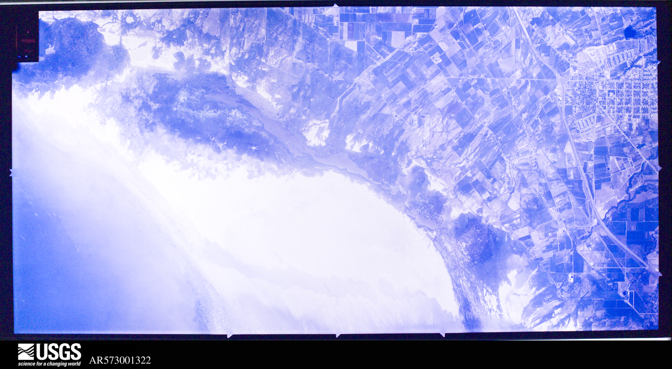
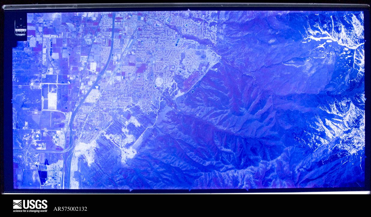
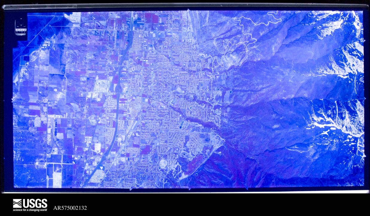
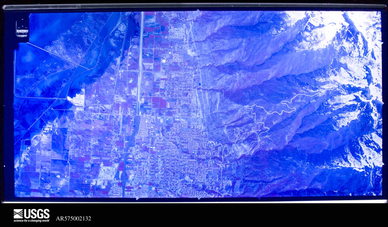
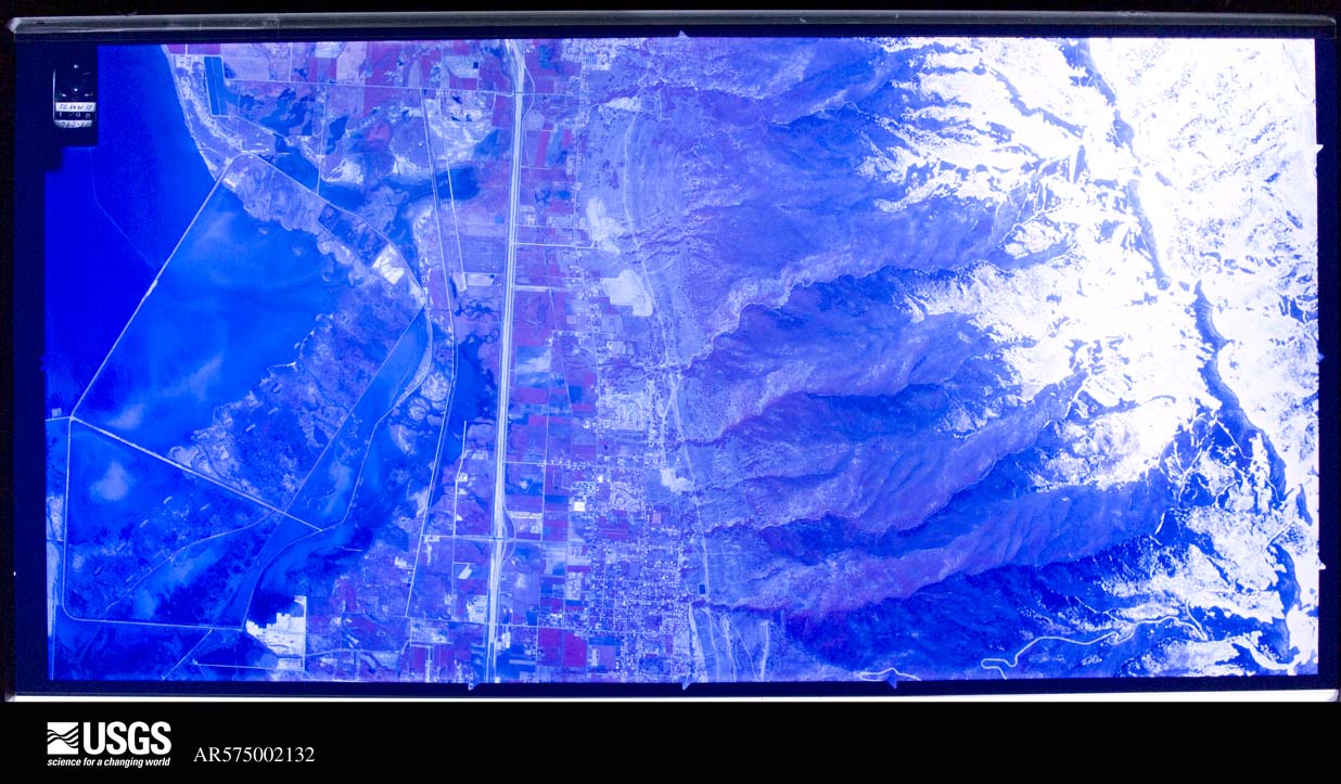
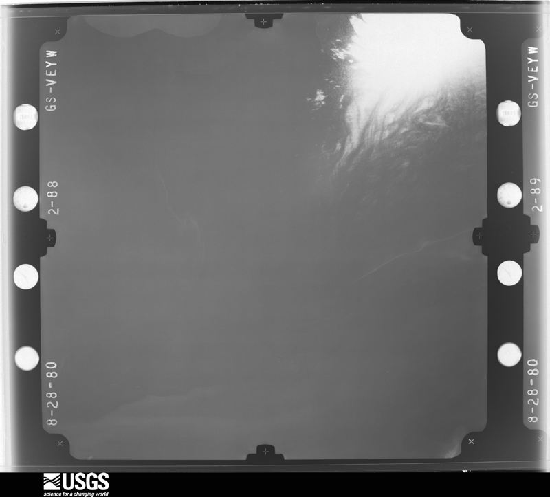
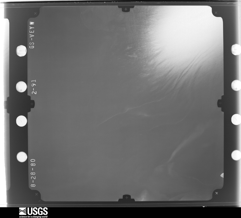
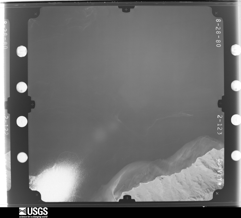
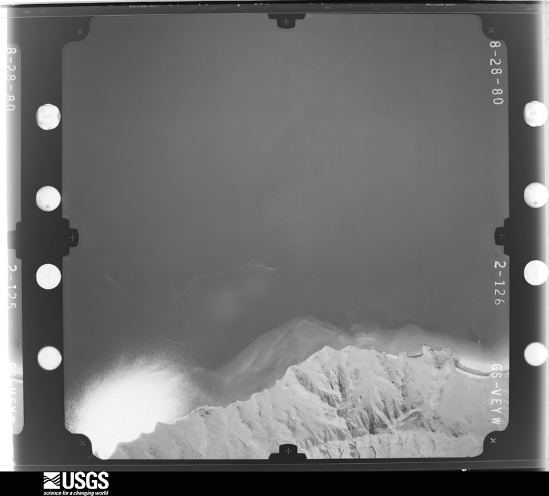
Flown by the U.S. Geological Survey between 1937 and 1989, the Aerial Photo Single Frames collection is the definitive mid-century view of the land: fields, roads and rivers as the camera saw them. The Survey holds 1,519 frames inside the rectangle that bounds this county; the 48 frames below were taken over the county itself, chosen across the decades of flights (at most four a year from that rectangle), so one flight cannot crowd out the rest. The full set is free to browse and download at EarthExplorer under the dataset Aerial Photo Single Frames.
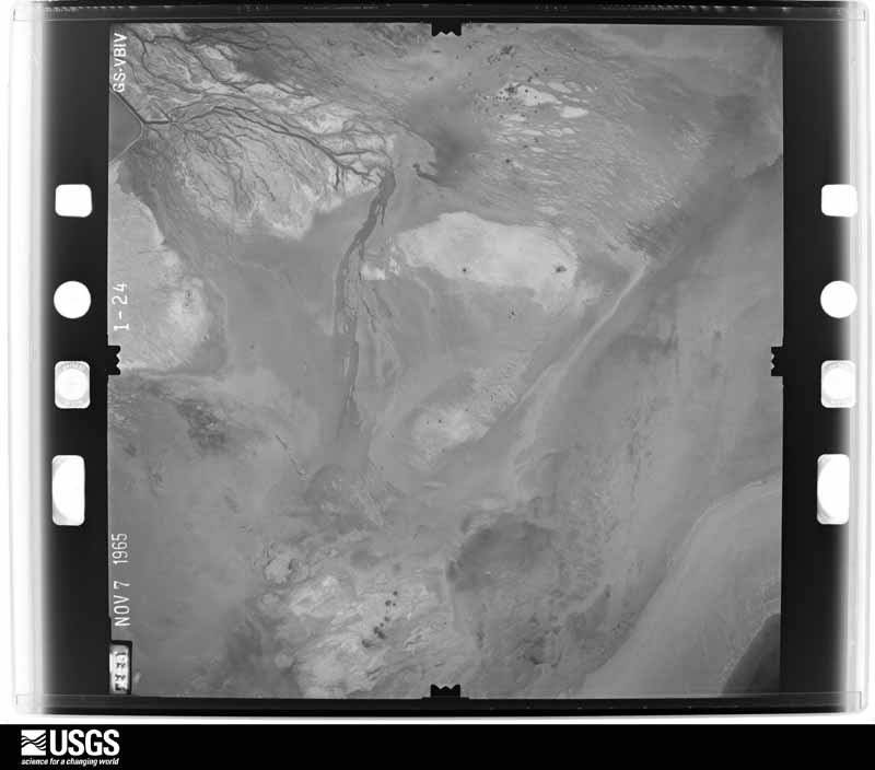
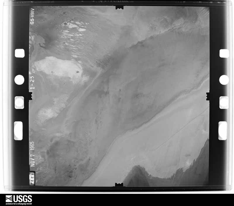
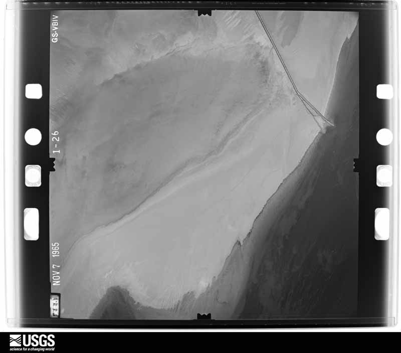
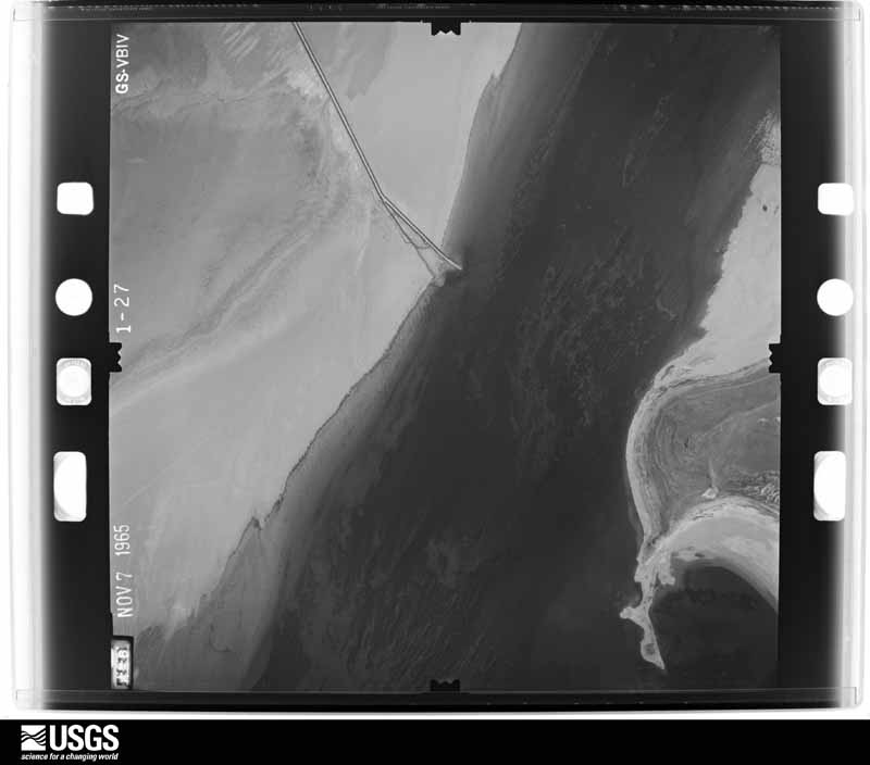
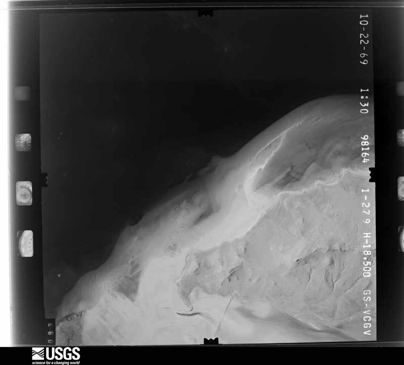
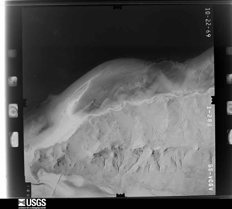
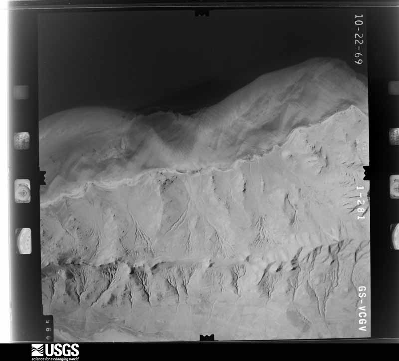
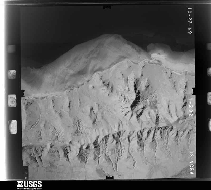
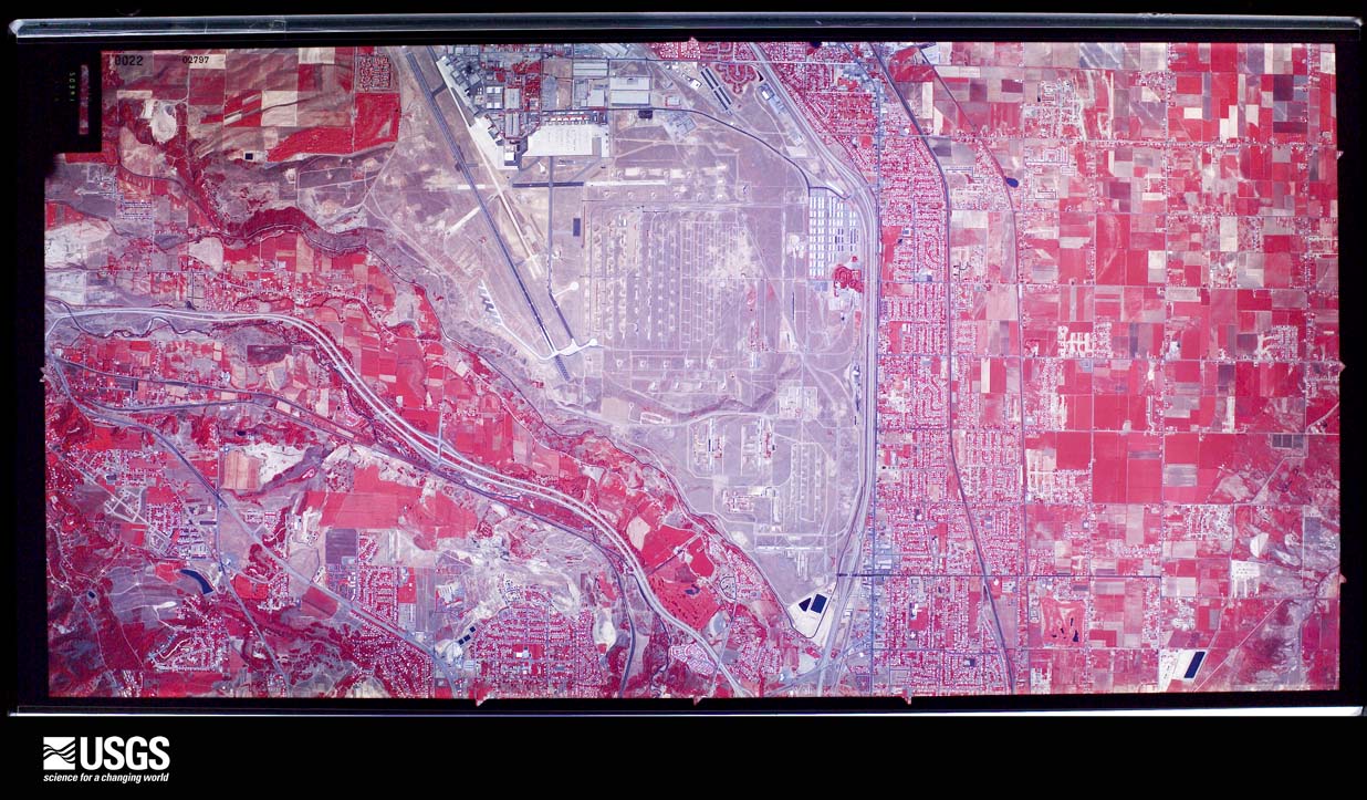
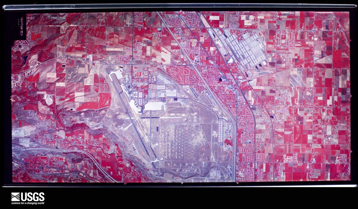
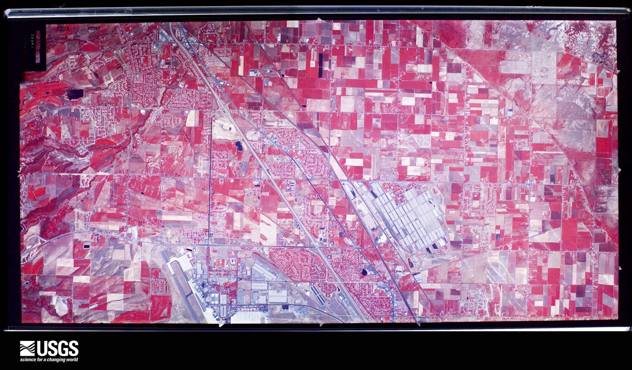
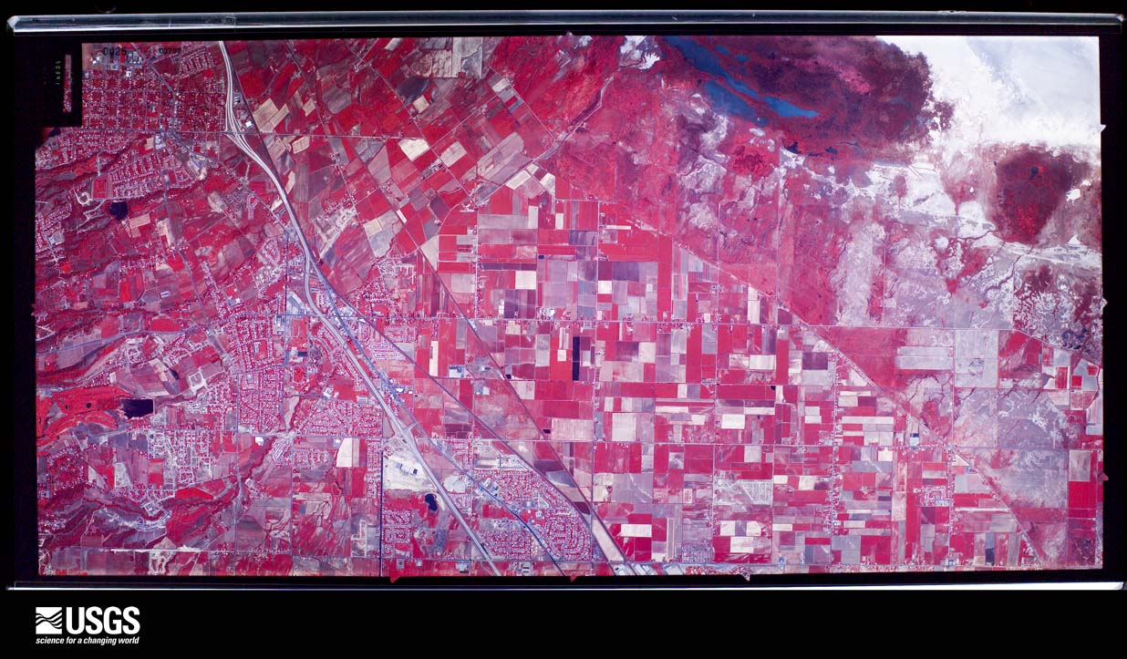
The thermometers that kept this county's weather, and the gages that measured the flow of its streams, as the federal records hold them. The extremes below are measured values from those records, not estimates.
Who lived here in 1950, one enumeration district at a time, as the Census Bureau described each district. Each row opens its official National Archives result, with Population Schedules and ED Maps available there.
Every wildfire the federal occurrence database records inside this county: 175 of them, burning about 34,033 acres. 38 started naturally and 8 were recorded as arson. Each settlement page carries the fires within five miles of it.
| Reported cause | Fires |
|---|---|
| Missing data/not specified/undetermined | 42 |
| Natural | 38 |
| Recreation and ceremony | 31 |
| Fireworks | 15 |
| Equipment and vehicle use | 13 |
| Arson/incendiarism | 8 |
| Misuse of fire by a minor | 8 |
| Smoking | 7 |
| Railroad operations and maintenance | 5 |
| Debris and open burning | 4 |
| Power generation/transmission/distribution | 4 |
The five largest, by the area the report gives. One of them was set deliberately.
| Date | Cause | Size | Reported by | Name on the report |
|---|---|---|---|---|
| 21 July 2016 | Natural | 15,330 acres | Utah Division Forestry Fire State Lands | WEST ANTELOPE |
| 5 July 2001 | Natural | 5,000 acres | Salt Lake Field Office | ANTELOPE 4 |
| 16 July 2000 | Natural | 3,910 acres | Northwest Area | MOLLYS |
| 10 July 2003 | Arson/incendiarism | 2,000 acres | Uinta-Wasatch-Cache National Forest | FARMINGTON |
| 29 July 2003 | Fireworks | 1,500 acres | Utah Division Forestry Fire State Lands | BEAR CANYON FIRE |
| 11 August 2007 | Missing data/not specified/undetermined | 670 acres | Uinta-Wasatch-Cache National Forest | FARMINGTON CANYON |
| 9 August 2011 | Natural | 660 acres | Utah Division Forestry Fire State Lands | WHITE ROCK NORTH |
| 29 July 2003 | Fireworks | 500 acres | Uinta-Wasatch-Cache National Forest | CENTERVILLE |
Every settlement page carries the fires within five miles of it - see the settlement index below.
The NOAA Storm Events Database holds 181 reports for this county, causing 1 death, 2 injuries and about $3,475,030 in recorded property damage. Each settlement page carries the reports that name it.
| Kind of event | Reports |
|---|---|
| Thunderstorm Wind | 113 |
| Hail | 29 |
| Tornado | 11 |
| Flash Flood | 10 |
| Heavy Rain | 7 |
| Lightning | 4 |
| Flood | 3 |
| Funnel Cloud | 2 |
| Waterspout | 1 |
| Debris Flow | 1 |
The most serious of them, by death, then injury, then recorded damage. The accounts are quoted exactly as the forecast office filed them.
| When | Event | Place named | Harm | What the report says |
|---|---|---|---|---|
| July 2023 | Thunderstorm Wind | Clearfield | 1 killed, $1,000 | Strong thunderstorms and associated outflow winds moved through the area during the early evening. At approximately 6:18 pm MST, a witness saw a tree fall onto a 68-year-old bicyclist riding along the Denver and Rio Grande Western Rail paved multiuse trail. Law enforcement arrived on scene, finding the woman unconscious and pinned beneath the felled 40 to 50 ft tree. After being removed, life saving measures were preformed and she was transported to a local hospital in critical condition, where she later died from her injuries. The nearest observation in the area is from Hill AFB, which measured a gust of 67 mph at 6:26 pm MST. Other supporting wind gusts are noted from these strong storms in the area. |
| April 2023 | Debris Flow | Fruit Hgts | 2 hurt, $50,000 | A mudslide/debris flow in Fruit Heights on the 8th destroyed a barn, killed undefined livestock, and injured two individuals who were trapped in the debris. Both were rescued and temporarily hospitalized with injuries. |
| April 2023 | Flood | East Layton | $1,000,000 | A new development on Orchard Ridge Lane in Kaysville experienced drainage issues, which resulted in significant flooding opening up a sinkhole. Entire driveways collapsed into the sinkhole along with dumpsters and construction debris. |
| August 1998 | Thunderstorm Wind | Kaysville | $400,000 | no account filed |
| May 1996 | Thunderstorm Wind | Clearfield | $300,000 | no account filed |
| August 2000 | Flash Flood | Countywide | $200,000 | no account filed |
| August 2024 | Thunderstorm Wind | Layton | $150,000 | Time is estimated by radar and nearby observations. A tree fell through the roof of a home in Layton, rendering it unlivable. Trees and powerlines were reported down in Kaysville. |
| August 2021 | Flash Flood | Centerville | $100,000 | Flash flooding was reported on the Bountiful Bench, with water flowing through a home. |
| August 2021 | Flood | Clinton | $100,000 | Several lane on Interstate 15 near Bountiful were closed due to standing water. Hill Field Road near Hill Air Force Base was flooded. Basement flooding occurred in Centerville. |
| August 2010 | Thunderstorm Wind | Randall | $100,000 | A strong line of thunderstorms moved through the northern Wasatch Front, with maximum recorded wind gusts of 64 mph at the Bountiful KSL sensor and 59 mph at the Centerville UDOT sensor. Power poles were knocked down along the Legacy Highway, causing a closure while crews repaired the damage. |
| July 2000 | Lightning | Layton | $100,000 | Lightning struck a home in Layton, starting a fire that gutted out the attic. The fire caused $100,000 worth of damage. |
| June 2001 | Thunderstorm Wind | Countywide | $100,000 | no account filed |
| May 1996 | Tornado (F0) | Syracuse | $100,000 | no account filed |
| July 1998 | Flash Flood | Countywide | $60,000 | no account filed |
| August 2023 | Flash Flood | Kaysville | $50,000 | Flash Flooding was observed at the underpass in Kaysville at the 200 North exit. |
| August 2023 | Flood | Kaysville | $50,000 | Flooding was observed at the underpass in Kaysville at the 200 North exit. |
| August 2015 | Flash Flood | Farmington | $50,000 | Heavy rain over northern Davis County caused widespread street and parking lot flooding, particularly in Farmington and Layton. In addition, several homes in Fruit Heights experienced basement flooding. |
| July 2015 | Flash Flood | Rosedale | $50,000 | A large line of thunderstorms moved through the Wasatch Front overnight on July 8, into the early morning hours of July 9, with the northern Wasatch Front getting hit the hardest by heavy rainfall. Flash flooding along roadways was reported in several locations, including along Interstate 15 and on Parrish Lane in Centerville, where water was up to four feet deep. One house in Woods Cross received significant flood damage, with all the possessions in the basement declared a total loss. |
| April 1999 | Lightning | Kaysville | $50,000 | Lightning blew a 4 X 6 foot hole in the roof of a 100-year-old Kaysville home at around 11:21 PM. The owners were home at the time, but were not injured. The strike caused an estimated $50,000 damage. |
| May 1997 | Lightning | Bountiful | $50,000 | no account filed |
| July 1994 | Thunderstorm Wind | Woods Cross | $50,000 | no account filed |
| May 1998 | Heavy Rain | Kaysville | $40,000 | no account filed |
| June 1998 | Heavy Rain | Countywide | $40,000 | no account filed |
| September 2016 | Thunderstorm Wind | Syracuse | $35,000 | A University of Utah sensor near Antelope Island recorded a peak wind gust of 75 mph. In addition, the roof of a barn at the Fielding Gar Ranch was severely damaged, and other standing structures, windows, and dumpsters were also damaged by the winds. |
| June 1998 | Tornado (F0) | Layton | $30,000 | no account filed |
| June 2004 | Flash Flood | Syracuse | $25,000 | no account filed |
| May 1998 | Tornado (F0) | West Pt | $22,000 | no account filed |
| May 2017 | Thunderstorm Wind | Syracuse | $20,000 | Strong thunderstorm winds at Antelope Island State Park caused significant damage, including damaging multiple pavilions and breaking several windows across the park. |
| August 2024 | Hail | Clearfield | $15,000 | A social media photo showed one inch diamter hail in Clearfield. |
| August 2024 | Hail | Sunset | $15,000 | Social media reports showed 1 inch diameter hail in Sunset and Clearfield. |
| August 2014 | Thunderstorm Wind | South Weber | $15,000 | The Legacy Parkway sensor recorded a peak wind gust of 59 mph, and damage was reported in South Weber, with several trees uprooted and a small barn heavily damaged by the wind. |
| August 2021 | Thunderstorm Wind | Woods Cross | $10,000 | A power pole snapped and fell across the road at 2400 South and 500 West in Bountiful. |
| May 2018 | Thunderstorm Wind | Rosedale | $10,000 | A strong microburst, with estimated wind speeds of 50-65 mph, caused primarily tree damage in Centerville. Damage was also reported to trampolines in the area. |
| September 2007 | Thunderstorm Wind | (Hif)Hill Afb Ogden | $10,000 | A roof was torn off and 3 inch tree limbs were knocked down. Hill Air Force Base ASOS reported a max gust of 57 mph. |
| August 2005 | Thunderstorm Wind | West Pt | $10,000 | a few brand new houses under construction were damaged. Amt estimated. |
| July 1995 | Tornado (F0) | Centerville | $10,000 | Severe pre-frontal thunderstorms developed along the Wasatch front. In the Kearns area, gusts were measured at 58 mph. In the Centerville area, a gustnado occurred. Witnesses indicated they heard a train sound and saw both trees and dirt moving in circular motions. The overall damage path was about 0.5 miles long and less than 0.1 mile wide. The gustnado moved from south to north, with it apparently skipping into the air, not causing damage along the entire path length. One witness was briefly lifted into the air as the gustnado passed over. One house incurred $10,000 in damage. They reported severe tree damage, had two skylights lifted from part of the roof, and had an electric junction box removed from the side of the house. Their next door neighbor reported that two-inch diameter willow branches were removed from the tree, transported 100 feet and over a single story building, and were wrapped tightly around the base of another tree. At a third house, a flag pole that had previously withstood 90 mph winds was snapped. The gustnado bent a six-foot chain fence to a 45 degree angle towards the east. |
| October 2004 | Flash Flood | Centerville | $10,000 | no account filed |
| August 2021 | Thunderstorm Wind | Clinton | $5,000 | Multiple trees were blown over in Clinton. |
| June 2017 | Thunderstorm Wind | Clearfield | $5,000 | Strong winds from a dry microburst knocked over a section of fence and caused damage to large tree limbs in Clearfield. In addition, a 64 mph wind gust was recorded at Hill Air Force Base. |
| August 2013 | Thunderstorm Wind | Laytona | $5,000 | Strong thunderstorm winds knocked down several trees on Fairfield Road in Layton. |
| September 2009 | Thunderstorm Wind | Laytona | $5,000 | A local television station reported that several trees were blown down near Layton. |
| July 2025 | Thunderstorm Wind | Kaysville | $3,000 | Report from social media of a downed tree in Kaysville from thunderstorm winds. Nearby mesonet stations reported gusts of 48 and 54 mph. |
| August 2021 | Thunderstorm Wind | Fruit Hgts | $3,000 | A tree fell on a fence near Fruit Heights. |
| September 2016 | Thunderstorm Wind | Laytona | $3,000 | One large tree was snapped and knocked down in Layton, while another large tree in the same location was completely uprooted. |
| September 1992 | Tornado (F1) | not stated | $2,500 | no account filed |
| May 2015 | Lightning | West Pt | $2,000 | Lightning struck a house in Syracuse, Utah in the morning hours of May 28. The roof of the house caught fire, but was seen and extinguished quickly, leading to only relatively minor roof damage. |
| July 2003 | Thunderstorm Wind | Clearfield | $2,000 | no account filed |
| June 2002 | Thunderstorm Wind | Kaysville | $2,000 | no account filed |
| June 1998 | Heavy Rain | Countywide | $2,000 | no account filed |
| July 2023 | Thunderstorm Wind | Bountiful | $1,500 | A light pole was downed in Bountiful. |
| July 2023 | Thunderstorm Wind | Farmington | $1,000 | In Farmington, a tree was snapped off near its base. |
| August 2021 | Thunderstorm Wind | Laytona | $1,000 | A tree fell into a house near Hill Air Force Base. |
| June 2014 | Thunderstorm Wind | West Pt | $1,000 | A large tree was knocked down by thunderstorm winds. |
| April 2010 | Thunderstorm Wind | Syracuse | $1,000 | Part of a midsized pear tree was blown down from thunderstorm winds. |
| July 2004 | Flash Flood | Farmington | $1,000 | no account filed |
| July 2023 | Thunderstorm Wind | West Pt | $500 | A tree was downed in West Point. Time estimated by radar. |
| May 1993 | Thunderstorm Wind | Layton | $500 | no account filed |
| May 1989 | Tornado (F0) | not stated | $30 | no account filed |
| April 2026 | Thunderstorm Wind | Syracuse | - | The Syracuse mesonet station recorded a wind gust of 59mph as a result of outflow winds associated with a nearby cluster of convective snow showers moving through the area. |
| April 2026 | Thunderstorm Wind | Laytona | - | A severe thunderstorm wind gust to 60mph was measured at the I-15 at MP 333 Antelope Drive UDOT RWIS sensor. |
The Survey's mineral resources record lists 101 workings inside this county. 24 still produce and 77 are closed or unrecorded. Each settlement page carries the workings within five miles of it.
| Commodity | Workings |
|---|---|
| Sand and Gravel, Construction | 69 |
| Copper | 9 |
| Bromine | 7 |
| Beryllium | 2 |
| Iron | 2 |
| Talc-Soapstone | 2 |
| Copper, Iron | 2 |
| Geothermal | 2 |
| Copper, Silver | 1 |
| Silver, Lead, Gold, Copper | 1 |
| Lead, Silver | 1 |
| Copper, Lead, Zinc | 1 |
| Barium-Barite | 1 |
| Gold, Silver, Tungsten | 1 |
The least common of them first, because a county's hundredth gravel pit says nothing its first ten did not.
| Where | Site | Commodity | Status | Recorded |
|---|---|---|---|---|
| Blue Jay and Roberts Groups | Copper, Iron, Barium-Barite | Occurrence | Vein | |
| Buckland Mining and Development Prospect | Copper, Silver, Iron | Occurrence | Vein | |
| Burro Mine | Silver, Lead, Gold, Copper | Past Producer | 1907 | |
| Foulger | Quartz | Occurrence | ||
| Home and Wood Pit | Limestone, General, Sand and Gravel, Construction | Producer | ||
| Lucky Boy | Tungsten, Silver, Gold, Copper | Occurrence | ||
| Lucky Boy Prospect | Copper, Gold, Silver, Tungsten | Occurrence | Vein | |
| Morning Star Claims Group | Copper, Gold | Occurrence | ||
| Sessions Mountains Prospect | Lead, Silver | Occurrence | Vein | |
| Upper Ward Canyon Prospects | Copper, Lead, Zinc | Occurrence | Underground | |
| Beryl | Beryllium | Occurrence | ||
| Beryl | Beryllium | Occurrence | ||
| Cedar Springs South Prospects | Copper, Iron | Occurrence | Vein | |
| Hobbs Reservoir Talc Locality | Talc-Soapstone | Occurrence | Unknown | |
| Hooper Hot Springs | Geothermal | Unknown | ||
| Southwest Hooper Warm Springs | Geothermal | Unknown | ||
| Unknown | Talc-Soapstone | Occurrence | ||
| Upper Buffalo Scaffold Canyon Prospects | Copper, Iron | Occurrence | Vein | |
| Antelope Island North Brines | Bromine | Past Producer | 1825, 1981 | |
| Antelope Island Quad. Brine | Bromine | Producer | 1825, 1981 | |
| Buffalo Point Brines | Bromine | Past Producer | 1825, 1981 | |
| Clearfield Brines | Bromine | Producer | 1825, 1981 | |
| Fremont Island Sw Brines | Bromine | Past Producer | 1825, 1981 | |
| Plug Peak Ne Brines | Bromine | Producer | 1825, 1981 | |
| Saltair Ne Brines | Bromine | Producer | 1825, 1981 | |
| Bountiful Peak Campground Prospect | Copper | Occurrence | Vein | |
| Morris Creek East Prospects | Copper | Occurrence | Vein | |
| Nance and Fanning | Copper | Occurrence | ||
| Nance and Fanning Prospect | Copper | Occurrence | Vein | |
| Se Centerville Canyon Prospect | Copper | Occurrence | Vein | |
| Sw Centerville Canyon Prospect | Copper | Occurrence | Malachite | |
| Upper Baer Canyon Workings | Copper | Occurrence | Chalcopyrite, Malachite | |
| Antelope Island North Gravel | Sand and Gravel, Construction | Occurrence | Unconsolidated Sediments | |
| Beck Street Pit | Sand and Gravel, Construction | Producer | ||
| Farmington-Centerville Freeway Gravel Pit | Sand and Gravel, Construction | Past Producer | Unconsolidated Sediments | |
| Mountain Road Gravel Pit. | Sand and Gravel, Construction | Producer | Unconsolidated Sediments | |
| North Canyon Gravel Pit | Sand and Gravel, Construction | Past Producer | Unconsolidated Sediments | |
| South Weber Sand & Gravel Pit | Sand and Gravel, Construction | Producer | ||
| Unidentified Occurrence | Sand and Gravel, Construction | Producer | Unconsolidated Sediments | |
| Unidentified Occurrence | Sand and Gravel, Construction | Producer | Unconsolidated Sediments | |
| Unidentified Occurrence | Sand and Gravel, Construction | Producer | Unconsolidated Sediments | |
| Unidentified Occurrence | Sand and Gravel, Construction | Producer | Unconsolidated Sediments | |
| Unknown | Sand and Gravel, Construction | Occurrence | ||
| Unknown | Sand and Gravel, Construction | Occurrence | ||
| Unknown | Sand and Gravel, Construction | Occurrence | ||
| Unknown | Sand and Gravel, Construction | Occurrence | ||
| Unknown | Sand and Gravel, Construction | Occurrence | ||
| Unknown | Sand and Gravel, Construction | Occurrence | ||
| Unknown | Sand and Gravel, Construction | Occurrence | ||
| Unknown | Sand and Gravel, Construction | Unknown | ||
| Unnamed Gravel Pit | Sand and Gravel, Construction | Past Producer | Unconsolidated Sediments | |
| Ut Dept of Hwys Pit #06002 | Sand and Gravel, Construction | Prospect | ||
| Ut Dept of Hwys Pit #06005 | Sand and Gravel, Construction | Prospect | ||
| Ut Dept of Hwys Pit #06009 | Sand and Gravel, Construction | Prospect | ||
| Ut Dept of Hwys Pit 06015 | Sand and Gravel, Construction | Prospect | ||
| Ut Dept of Hwys Pit No 06001 | Sand and Gravel, Construction | Prospect | ||
| Ut Dept of Hwys Pit No 06003 | Sand and Gravel, Construction | Prospect | ||
| Ut Dept of Hwys Pit No 06004 | Sand and Gravel, Construction | Prospect | ||
| Ut Dept of Hwys Pit No 06006 06033 | Sand and Gravel, Construction | Prospect | ||
| Ut Dept of Hwys Pit No 06010 | Sand and Gravel, Construction | Prospect | ||
| Ut Dept of Hwys Pit No 06012 | Sand and Gravel, Construction | Prospect | ||
| Ut Dept of Hwys Pit No 06013 | Sand and Gravel, Construction | Prospect | ||
| Ut Dept of Hwys Pit No 06014 | Sand and Gravel, Construction | Unknown | ||
| Ut Dept of Hwys Pit No 06017 | Sand and Gravel, Construction | Prospect | ||
| Ut Dept of Hwys Pit No 06018 | Sand and Gravel, Construction | Prospect | ||
| Ut Dept of Hwys Pit No 06019 | Sand and Gravel, Construction | Prospect | ||
| Ut Dept of Hwys Pit No 06020 | Sand and Gravel, Construction | Unknown | ||
| Ut Dept of Hwys Pit No 06021 | Sand and Gravel, Construction | Prospect | ||
| Ut Dept of Hwys Pit No 06022 | Sand and Gravel, Construction | Prospect | ||
| Ut Dept of Hwys Pit No 06023 | Sand and Gravel, Construction | Prospect | ||
| Ut Dept of Hwys Pit No 06024 | Sand and Gravel, Construction | Prospect | ||
| Ut Dept of Hwys Pit No 06025 | Sand and Gravel, Construction | Prospect | ||
| Ut Dept of Hwys Pit No 06026 | Sand and Gravel, Construction | Prospect | ||
| Ut Dept of Hwys Pit No 06027 | Sand and Gravel, Construction | Prospect | ||
| Ut Dept of Hwys Pit No 06034 | Sand and Gravel, Construction | Prospect | ||
| Ut Dept of Hwys Pit No 06035 | Sand and Gravel, Construction | Prospect | ||
| Ut Dept of Hwys Pit No 06037 | Sand and Gravel, Construction | Unknown | ||
| Ut Dept of Hwys Pit No 06041 | Sand and Gravel, Construction | Prospect | ||
| Ut Dept of Hwys Pit No 06042 | Sand and Gravel, Construction | Prospect | ||
| Ut. Dept. of Hwys. No. 06021 | Sand and Gravel, Construction | Past Producer | Unconsolidated Sediments | |
| Ut. Dept. of Hwys. No. 06022 | Sand and Gravel, Construction | Producer | Unconsolidated Sediments | |
| Utah Department of Highways Gravel Pit Number 06002 | Sand and Gravel, Construction | Past Producer | Unconsolidated Sediments | |
| Utah Department of Highways Gravel Pit Number 06031 | Sand and Gravel, Construction | Producer | Unconsolidated Sediments | |
| Utah Department of Highways Gravel Pit Number 06032 | Sand and Gravel, Construction | Producer | Unconsolidated Sediments | |
| Utah Department of Highways Gravel Pit Number 06038 | Sand and Gravel, Construction | Producer | Unconsolidated Sediments | |
| Utah Department of Highways Gravel Pit Number 06040 | Sand and Gravel, Construction | Past Producer | Unconsolidated Sediments | |
| Utah Department of Highways No. 06020 | Sand and Gravel, Construction | Past Producer | Unconsolidated Sediments | |
| Utah Department of Highways Pit No. 06001 | Sand and Gravel, Construction | Past Producer | Unconsolidated Sediments | |
| Utah Department of Highways Pit No. 06014 | Sand and Gravel, Construction | Past Producer | Unconsolidated Sediments | |
| Utah Department of Highways Pit No. 06015 | Sand and Gravel, Construction | Producer | Unconsolidated Sediments | |
| Utah Department of Highways Pit No. 06017 | Sand and Gravel, Construction | Producer | Unconsolidated Sediments | |
| Utah Department of Highways Pit No. 06018 | Sand and Gravel, Construction | Producer | Unconsolidated Sediments | |
| Utah Department of Highways Pit No. 06025 | Sand and Gravel, Construction | Producer | Unconsolidated Sediments | |
| Utah Department of Highways Pit No. 06034 | Sand and Gravel, Construction | Past Producer | Unconsolidated Sediments | |
| Utah Department of Highways Pit No. 06035 | Sand and Gravel, Construction | Past Producer | Unconsolidated Sediments | |
| Utah Department of Highways Pit No. 06042 | Sand and Gravel, Construction | Past Producer | Unconsolidated Sediments | |
| Utah Dept. of Highways Pit Nos. 06006-06030 | Sand and Gravel, Construction | Producer | Unconsolidated Sediments | |
| Utah State Department of Highways Gravel Pit Number 06005 | Sand and Gravel, Construction | Past Producer | Unconsolidated Sediments | |
| Weber Canyon Borrow Pit. | Sand and Gravel, Construction | Producer | Unconsolidated Sediments | |
| Weber Canyon Graves Pit | Sand and Gravel, Construction | Producer | Unconsolidated Sediments | |
| Whitehill Sand & Gravel Pit | Sand and Gravel, Construction | Producer |
Named settlements recorded in the Geographic Names Information System, each with the topographic sheets covering it. Villages, hamlets and abandoned places alike. Each is shown with the nearest named watercourse or landform and the survey quadrangle it falls on. The 3 places that were also surveyed for fire insurance come first, with the number of atlases and photographs held for them.
South Davis census division · 84010 · On Holbrook Creek · Farmington quadrangle
24 sheets, 1885 to 1998
Fire insurance: 2 atlases
North Davis census division · 84037 · On North Fork Holmes Creek · Kaysville quadrangle
13 sheets, 1954 to 1998
Fire insurance: 3 atlases
North Davis census division · 84041 · On Snow Creek · Kaysville quadrangle
13 sheets, 1954 to 1998
Fire insurance: 2 atlases
South Davis census division · 84087 · On Mill Creek · Farmington quadrangle
24 sheets, 1885 to 1998
North Davis census division · 84037 · Near Bair Canyon · Kaysville quadrangle
13 sheets, 1954 to 1998
South Davis census division · 84025 · On Davis Creek · Farmington quadrangle
24 sheets, 1885 to 1998
South Davis census division · 84010 · Near North Canyon · Fort Douglas quadrangle
27 sheets, 1885 to 1998
North Davis census division · 84037 · Near Bair Canyon · Kaysville quadrangle
13 sheets, 1954 to 1998
South Davis census division · 84010 · On Stone Creek · Bountiful Peak quadrangle
25 sheets, 1885 to 1998
South Davis census division · 84010 · Near Ward Canyon · Bountiful Peak quadrangle
25 sheets, 1885 to 1998
South Davis census division · 84014 · On Barnard Creek · Farmington quadrangle
24 sheets, 1885 to 1998
South Davis census division · 84010 · On Stone Creek · Farmington quadrangle
24 sheets, 1885 to 1998
South Davis census division · 84010 · Near North Canyon · Salt Lake City North quadrangle
27 sheets, 1885 to 1998
North Davis census division · 84041 · On Snow Creek · Kaysville quadrangle
13 sheets, 1954 to 1998
North Davis census division · 84040 · On Snow Creek · Kaysville quadrangle
13 sheets, 1954 to 1998
North Davis census division · 84040 · On Middle Fork Kays Creek · Kaysville quadrangle
13 sheets, 1954 to 1998
North Davis census division · 84040 · On Middle Fork Kays Creek · Kaysville quadrangle
13 sheets, 1954 to 1998
South Davis census division · 84014 · Near Centerville Canyon · Bountiful Peak quadrangle
25 sheets, 1885 to 1998
South Davis census division · 84010 · Near Holbrook Canyon · Bountiful Peak quadrangle
25 sheets, 1885 to 1998
South Davis census division · 84010 · Near Hooper Canyon · Salt Lake City North quadrangle
27 sheets, 1885 to 1998
South Davis census division · 84010 · Near Holbrook Canyon · Bountiful Peak quadrangle
25 sheets, 1885 to 1998
North Davis census division · 84037 · On North Fork Holmes Creek · Kaysville quadrangle
13 sheets, 1954 to 1998
North Davis census division · 84037 · Near Bair Canyon · Kaysville quadrangle
13 sheets, 1954 to 1998
North Davis census division · 84037 · Near Bair Canyon · Kaysville quadrangle
13 sheets, 1954 to 1998
North Davis census division · 84037 · Near Bair Canyon · Kaysville quadrangle
13 sheets, 1954 to 1998
South Davis census division · 84025 · On Rudd Creek · Farmington quadrangle
24 sheets, 1885 to 1998
South Davis census division · 84010 · On Stone Creek · Farmington quadrangle
24 sheets, 1885 to 1998
South Davis census division · 84014 · On Barnard Creek · Farmington quadrangle
24 sheets, 1885 to 1998
South Davis census division · 84087 · On Mill Creek · Salt Lake City North quadrangle
27 sheets, 1885 to 1998
South Davis census division · 84087 · Near Hooper Canyon · Salt Lake City North quadrangle
27 sheets, 1885 to 1998
South Davis census division · 84010 · On Holbrook Creek · Farmington quadrangle
24 sheets, 1885 to 1998
South Davis census division · 84010 · On Stone Creek · Farmington quadrangle
24 sheets, 1885 to 1998
South Davis census division · 84010 · Near Hooper Canyon · Salt Lake City North quadrangle
27 sheets, 1885 to 1998
South Davis census division · 84014 · On Parrish Creek · Farmington quadrangle
24 sheets, 1885 to 1998
South Davis census division · 84010 · Near North Canyon · Salt Lake City North quadrangle
27 sheets, 1885 to 1998
South Davis census division · 84010 · Near North Canyon · Salt Lake City North quadrangle
27 sheets, 1885 to 1998
South Davis census division · 84010 · Near Holbrook Canyon · Bountiful Peak quadrangle
25 sheets, 1885 to 1998
South Davis census division · 84010 · Near Holbrook Canyon · Bountiful Peak quadrangle
25 sheets, 1885 to 1998
South Davis census division · 84010 · On Mill Creek · Farmington quadrangle
24 sheets, 1885 to 1998
South Davis census division · 84010 · On Mill Creek · Bountiful Peak quadrangle
24 sheets, 1885 to 1998
South Davis census division · 84014 · On Parrish Creek · Bountiful Peak quadrangle
25 sheets, 1885 to 1998
South Davis census division · 84010 · Near Holbrook Canyon · Bountiful Peak quadrangle
25 sheets, 1885 to 1998
South Davis census division · 84087 · On Mill Creek · Salt Lake City North quadrangle
27 sheets, 1885 to 1998
South Davis census division · 84087 · On Holbrook Creek · Farmington quadrangle
24 sheets, 1885 to 1998
South Davis census division · 84010 · Near Hooper Canyon · Salt Lake City North quadrangle
27 sheets, 1885 to 1998
South Davis census division · 84010 · Near Holbrook Canyon · Bountiful Peak quadrangle
25 sheets, 1885 to 1998
North Davis census division · 84015 · Clearfield quadrangle
12 sheets, 1954 to 1999
North Davis census division · 84037 · Near Bair Canyon · Kaysville quadrangle
13 sheets, 1954 to 1998
South Davis census division · 84010 · Near Hooper Canyon · Salt Lake City North quadrangle
27 sheets, 1885 to 1998
South Davis census division · 84010 · Near Howard Draw · Fort Douglas quadrangle
27 sheets, 1885 to 1998
South Davis census division · 84010 · On Holbrook Creek · Bountiful Peak quadrangle
25 sheets, 1885 to 1998
North Davis census division · 84405 · On Corbett Creek · Ogden quadrangle
14 sheets, 1954 to 1998
South Davis census division · 84087 · On Mill Creek · Salt Lake City North quadrangle
27 sheets, 1885 to 1998
North Davis census division · 84037 · Near Bair Canyon · Kaysville quadrangle
13 sheets, 1954 to 1998
South Davis census division · 84010 · On Holbrook Creek · Farmington quadrangle
24 sheets, 1885 to 1998
North Davis census division · 84015 · Clearfield quadrangle
12 sheets, 1954 to 1999
South Davis census division · 84014 · On Parrish Creek · Bountiful Peak quadrangle
25 sheets, 1885 to 1998
North Davis census division · 84405 · On Corbett Creek · Kaysville quadrangle
13 sheets, 1954 to 1998
South Davis census division · 84010 · Near Holbrook Canyon · Bountiful Peak quadrangle
25 sheets, 1885 to 1998
South Davis census division · 84010 · Near Holbrook Canyon · Bountiful Peak quadrangle
25 sheets, 1885 to 1998
North Davis census division · 84037 · Near Bair Canyon · Kaysville quadrangle
13 sheets, 1954 to 1998
South Davis census division · 84014 · On Barnard Creek · Farmington quadrangle
24 sheets, 1885 to 1998
South Davis census division · 84087 · On Stone Creek · Farmington quadrangle
24 sheets, 1885 to 1998
South Davis census division · 84010 · Near Howard Draw · Fort Douglas quadrangle
27 sheets, 1885 to 1998
South Davis census division · 84054 · Near Hooper Canyon · Salt Lake City North quadrangle
27 sheets, 1885 to 1998
South Davis census division · 84025 · On Davis Creek · Farmington quadrangle
24 sheets, 1885 to 1998
South Davis census division · 84014 · On Barnard Creek · Farmington quadrangle
24 sheets, 1885 to 1998
South Davis census division · 84014 · In Centerville Canyon · Bountiful Peak quadrangle
25 sheets, 1885 to 1998
South Davis census division · 84014 · Near Centerville Canyon · Bountiful Peak quadrangle
25 sheets, 1885 to 1998
South Davis census division · 84010 · Near Ward Canyon · Bountiful Peak quadrangle
25 sheets, 1885 to 1998
North Davis census division · 84015 · Clearfield quadrangle
12 sheets, 1954 to 1999
South Davis census division · 84010 · Near Hooper Canyon · Salt Lake City North quadrangle
27 sheets, 1885 to 1998
South Davis census division · 84014 · On Parrish Creek · Bountiful Peak quadrangle
25 sheets, 1885 to 1998
North Davis census division · 84037 · On North Fork Holmes Creek · Kaysville quadrangle
13 sheets, 1954 to 1998
South Davis census division · 84010 · On Holbrook Creek · Farmington quadrangle
24 sheets, 1885 to 1998
North Davis census division · 84040 · On South Fork Kays Creek · Kaysville quadrangle
13 sheets, 1954 to 1998
South Davis census division · 84087 · On Stone Creek · Farmington quadrangle
24 sheets, 1885 to 1998
South Davis census division · 84014 · On Barnard Creek · Farmington quadrangle
24 sheets, 1885 to 1998
South Davis census division · 84014 · On Barnard Creek · Farmington quadrangle
24 sheets, 1885 to 1998
South Davis census division · 84014 · On Barnard Creek · Farmington quadrangle
24 sheets, 1885 to 1998
South Davis census division · 84010 · On Mill Creek · Farmington quadrangle
24 sheets, 1885 to 1998
South Davis census division · 84010 · Near Pace Hollow · Fort Douglas quadrangle
27 sheets, 1885 to 1998
South Davis census division · 84010 · On Stone Creek · Bountiful Peak quadrangle
25 sheets, 1885 to 1998
North Davis census division · 84405 · On Corbett Creek · Kaysville quadrangle
13 sheets, 1954 to 1998
North Davis census division · 84040 · On North Fork Kays Creek · Kaysville quadrangle
13 sheets, 1954 to 1998
South Davis census division · 84010 · On Holbrook Creek · Farmington quadrangle
24 sheets, 1885 to 1998
North Davis census division · 84037 · Near Bair Canyon · Kaysville quadrangle
13 sheets, 1954 to 1998
North Davis census division · 84037 · Near Bair Canyon · Kaysville quadrangle
13 sheets, 1954 to 1998
South Davis census division · 84010 · Near Hooper Canyon · Salt Lake City North quadrangle
27 sheets, 1885 to 1998
North Davis census division · 84041 · On Snow Creek · Kaysville quadrangle
13 sheets, 1954 to 1998
North Davis census division · 84041 · On Snow Creek · Kaysville quadrangle
13 sheets, 1954 to 1998
North Davis census division · 84041 · On Snow Creek · Kaysville quadrangle
13 sheets, 1954 to 1998
South Davis census division · 84010 · Near Hooper Canyon · Salt Lake City North quadrangle
27 sheets, 1885 to 1998
South Davis census division · 84014 · On Stone Creek · Bountiful Peak quadrangle
25 sheets, 1885 to 1998
South Davis census division · 84014 · Near Centerville Canyon · Bountiful Peak quadrangle
25 sheets, 1885 to 1998
North Davis census division · 84040 · On Middle Fork Kays Creek · Kaysville quadrangle
13 sheets, 1954 to 1998
North Davis census division · 84040 · On Middle Fork Kays Creek · Kaysville quadrangle
13 sheets, 1954 to 1998
North Davis census division · 84015 · Clearfield quadrangle
12 sheets, 1954 to 1999
North Davis census division · 84015 · Clearfield quadrangle
12 sheets, 1954 to 1999
North Davis census division · 84056 · Clearfield quadrangle
12 sheets, 1954 to 1999
North Davis census division · 84015 · Clearfield quadrangle
12 sheets, 1954 to 1999
South Davis census division · 84010 · Near Hooper Canyon · Salt Lake City North quadrangle
27 sheets, 1885 to 1998
South Davis census division · 84054 · Near Hooper Canyon · Salt Lake City North quadrangle
27 sheets, 1885 to 1998
South Davis census division · 84010 · On Mill Creek · Farmington quadrangle
24 sheets, 1885 to 1998
South Davis census division · 84010 · Near North Canyon · Bountiful Peak quadrangle
25 sheets, 1885 to 1998
North Davis census division · 84041 · On Snow Creek · Kaysville quadrangle
13 sheets, 1954 to 1998
South Davis census division · 84010 · Near Hooper Canyon · Salt Lake City North quadrangle
27 sheets, 1885 to 1998
North Davis census division · 84041 · On South Fork Kays Creek · Kaysville quadrangle
13 sheets, 1954 to 1998
South Davis census division · 84025 · Near Steed Canyon · Farmington quadrangle
24 sheets, 1885 to 1998
North Davis census division · 84041 · On Snow Creek · Kaysville quadrangle
13 sheets, 1954 to 1998
North Davis census division · 84040 · On Middle Fork Kays Creek · Kaysville quadrangle
13 sheets, 1954 to 1998
South Davis census division · 84010 · Near Holbrook Canyon · Bountiful Peak quadrangle
25 sheets, 1885 to 1998
South Davis census division · 84010 · Near Holbrook Canyon · Bountiful Peak quadrangle
25 sheets, 1885 to 1998
North Davis census division · 84041 · On Snow Creek · Kaysville quadrangle
13 sheets, 1954 to 1998
North Davis census division · 84075 · Clearfield quadrangle
12 sheets, 1954 to 1999
South Davis census division · 84010 · Near North Canyon · Fort Douglas quadrangle
27 sheets, 1885 to 1998
South Davis census division · 84025 · On Davis Creek · Farmington quadrangle
24 sheets, 1885 to 1998
North Davis census division · 84040 · On Middle Fork Kays Creek · Kaysville quadrangle
13 sheets, 1954 to 1998
North Davis census division · 84037 · On North Fork Holmes Creek · Kaysville quadrangle
13 sheets, 1954 to 1998
North Davis census division · 84041 · On Snow Creek · Kaysville quadrangle
13 sheets, 1954 to 1998
North Davis census division · 84040 · On Middle Fork Kays Creek · Kaysville quadrangle
13 sheets, 1954 to 1998
North Davis census division · 84037 · On Shepard Creek · Kaysville quadrangle
13 sheets, 1954 to 1998
North Davis census division · 84037 · Kaysville quadrangle
13 sheets, 1954 to 1998
South Davis census division · 84010 · On Stone Creek · Bountiful Peak quadrangle
25 sheets, 1885 to 1998
South Davis census division · 84010 · On Mill Creek · Farmington quadrangle
24 sheets, 1885 to 1998
South Davis census division · 84010 · Near North Fork Hooper Canyon · Salt Lake City North quadrangle
27 sheets, 1885 to 1998
South Davis census division · 84010 · On Holbrook Creek · Farmington quadrangle
24 sheets, 1885 to 1998
North Davis census division · 84037 · On North Fork Holmes Creek · Kaysville quadrangle
13 sheets, 1954 to 1998
North Davis census division · 84405 · On Corbett Creek · Kaysville quadrangle
13 sheets, 1954 to 1998
North Davis census division · 84040 · On Corbett Creek · Kaysville quadrangle
13 sheets, 1954 to 1998
South Davis census division · 84010 · Near North Canyon · Salt Lake City North quadrangle
27 sheets, 1885 to 1998
South Davis census division · 84014 · On Barnard Creek · Farmington quadrangle
24 sheets, 1885 to 1998
South Davis census division · 84014 · Near Centerville Canyon · Bountiful Peak quadrangle
25 sheets, 1885 to 1998
North Davis census division · 84041 · On Snow Creek · Kaysville quadrangle
13 sheets, 1954 to 1998
North Davis census division · 84040 · On Middle Fork Kays Creek · Kaysville quadrangle
13 sheets, 1954 to 1998
North Davis census division · 84040 · On Middle Fork Kays Creek · Kaysville quadrangle
13 sheets, 1954 to 1998
South Davis census division · 84010 · Near North Canyon · Farmington quadrangle
24 sheets, 1885 to 1998
South Davis census division · 84014 · Near Ford Canyon · Farmington quadrangle
24 sheets, 1885 to 1998
South Davis census division · 84010 · On Stone Creek · Farmington quadrangle
24 sheets, 1885 to 1998
North Davis census division · 84040 · On Snow Creek · Kaysville quadrangle
13 sheets, 1954 to 1998
North Davis census division · 84040 · On Middle Fork Kays Creek · Kaysville quadrangle
13 sheets, 1954 to 1998
No longer a settlement
North Davis census division · 84040 · On Middle Fork Kays Creek · Kaysville quadrangle
13 sheets, 1954 to 1998
North Davis census division · 84040 · On North Fork Kays Creek · Kaysville quadrangle
13 sheets, 1954 to 1998
North Davis census division · 84037 · Near Bair Canyon · Kaysville quadrangle
13 sheets, 1954 to 1998
North Davis census division · 84037 · Near Webb Canyon · Kaysville quadrangle
13 sheets, 1954 to 1998
North Davis census division · 84040 · Kaysville quadrangle
13 sheets, 1954 to 1998
North Davis census division · 84041 · On Snow Creek · Kaysville quadrangle
13 sheets, 1954 to 1998
North Davis census division · 84040 · On Middle Fork Kays Creek · Kaysville quadrangle
13 sheets, 1954 to 1998
South Davis census division · 84010 · Near Ward Canyon · Bountiful Peak quadrangle
25 sheets, 1885 to 1998
North Davis census division · 84015 · Clearfield quadrangle
12 sheets, 1954 to 1999
South Davis census division · 84087 · On Holbrook Creek · Farmington quadrangle
24 sheets, 1885 to 1998
South Davis census division · 84010 · Near Holbrook Canyon · Bountiful Peak quadrangle
25 sheets, 1885 to 1998
South Davis census division · 84025 · On Davis Creek · Farmington quadrangle
24 sheets, 1885 to 1998
South Davis census division · 84010 · Near Ward Canyon · Bountiful Peak quadrangle
25 sheets, 1885 to 1998
North Davis census division · 84041 · On Snow Creek · Kaysville quadrangle
13 sheets, 1954 to 1998
South Davis census division · 84010 · Near Howard Draw · Fort Douglas quadrangle
27 sheets, 1885 to 1998
South Davis census division · 84010 · Near Holbrook Canyon · Fort Douglas quadrangle
27 sheets, 1885 to 1998
North Davis census division · 84015 · Roy quadrangle
14 sheets, 1954 to 1999
North Davis census division · 84015 · Clearfield quadrangle
12 sheets, 1954 to 1999
South Davis census division · 84010 · Near Holbrook Canyon · Bountiful Peak quadrangle
25 sheets, 1885 to 1998
South Davis census division · 84010 · On Stone Creek · Farmington quadrangle
24 sheets, 1885 to 1998
South Davis census division · 84010 · On Holbrook Creek · Farmington quadrangle
24 sheets, 1885 to 1998
South Davis census division · 84010 · Near Holbrook Canyon · Bountiful Peak quadrangle
25 sheets, 1885 to 1998
South Davis census division · 84087 · On Mill Creek · Farmington quadrangle
24 sheets, 1885 to 1998
North Davis census division · 84037 · Kaysville quadrangle
13 sheets, 1954 to 1998
North Davis census division · 84037 · Kaysville quadrangle
13 sheets, 1954 to 1998
South Davis census division · 84025 · On Shepard Creek · Kaysville quadrangle
13 sheets, 1954 to 1998
North Davis census division · 84040 · On North Fork Kays Creek · Kaysville quadrangle
13 sheets, 1954 to 1998
South Davis census division · 84025 · On Steed Creek · Farmington quadrangle
24 sheets, 1885 to 1998
South Davis census division · 84025 · On Davis Creek · Farmington quadrangle
24 sheets, 1885 to 1998
South Davis census division · 84025 · On Rudd Creek · Farmington quadrangle
24 sheets, 1885 to 1998
South Davis census division · 84025 · On Rudd Creek · Farmington quadrangle
24 sheets, 1885 to 1998
South Davis census division · 84025 · On Shepard Creek · Kaysville quadrangle
13 sheets, 1954 to 1998
South Davis census division · 84010 · Near North Canyon · Salt Lake City North quadrangle
27 sheets, 1885 to 1998
North Davis census division · 84040 · Near Adams Canyon · Kaysville quadrangle
13 sheets, 1954 to 1998
South Davis census division · 84025 · Near Steed Canyon · Farmington quadrangle
24 sheets, 1885 to 1998
South Davis census division · 84014 · On Parrish Creek · Bountiful Peak quadrangle
25 sheets, 1885 to 1998
South Davis census division · 84010 · On Stone Creek · Bountiful Peak quadrangle
25 sheets, 1885 to 1998
South Davis census division · 84010 · Near Ward Canyon · Bountiful Peak quadrangle
25 sheets, 1885 to 1998
North Davis census division · 84041 · On South Fork Kays Creek · Kaysville quadrangle
13 sheets, 1954 to 1998
North Davis census division · 84037 · Near Bair Canyon · Kaysville quadrangle
13 sheets, 1954 to 1998
North Davis census division · 84037 · Near Bair Canyon · Kaysville quadrangle
13 sheets, 1954 to 1998
South Davis census division · 84010 · Near North Canyon · Salt Lake City North quadrangle
27 sheets, 1885 to 1998
South Davis census division · 84010 · Near Centerville Canyon · Bountiful Peak quadrangle
25 sheets, 1885 to 1998
North Davis census division · 84037 · Near Bair Canyon · Kaysville quadrangle
13 sheets, 1954 to 1998
South Davis census division · 84010 · Near Holbrook Canyon · Bountiful Peak quadrangle
25 sheets, 1885 to 1998
South Davis census division · 84054 · Near Hooper Canyon · Salt Lake City North quadrangle
27 sheets, 1885 to 1998
North Davis census division · 84041 · On Snow Creek · Kaysville quadrangle
13 sheets, 1954 to 1998
South Davis census division · 84010 · Near Ward Canyon · Bountiful Peak quadrangle
25 sheets, 1885 to 1998
South Davis census division · 84010 · On Stone Creek · Farmington quadrangle
24 sheets, 1885 to 1998
North Davis census division · 84041 · On Snow Creek · Kaysville quadrangle
13 sheets, 1954 to 1998
South Davis census division · 84010 · On Stone Creek · Farmington quadrangle
24 sheets, 1885 to 1998
North Davis census division · 84041 · On Snow Creek · Kaysville quadrangle
13 sheets, 1954 to 1998
South Davis census division · 84087 · On Mill Creek · Salt Lake City North quadrangle
27 sheets, 1885 to 1998
South Davis census division · 84087 · On Stone Creek · Farmington quadrangle
24 sheets, 1885 to 1998
South Davis census division · 84010 · Near Howard Draw · Fort Douglas quadrangle
27 sheets, 1885 to 1998
South Davis census division · 84010 · Near Ward Canyon · Bountiful Peak quadrangle
25 sheets, 1885 to 1998
North Davis census division · 84037 · Near Bair Canyon · Kaysville quadrangle
13 sheets, 1954 to 1998
South Davis census division · 84025 · On Steed Creek · Farmington quadrangle
24 sheets, 1885 to 1998
North Davis census division · 84015 · Clearfield quadrangle
12 sheets, 1954 to 1999
North Davis census division · 84041 · Kaysville quadrangle
13 sheets, 1954 to 1998
South Davis census division · 84014 · On Stone Creek · Bountiful Peak quadrangle
24 sheets, 1885 to 1998
North Davis census division · 84037 · Near Bair Canyon · Kaysville quadrangle
13 sheets, 1954 to 1998
North Davis census division · 84037 · Near Bair Canyon · Kaysville quadrangle
13 sheets, 1954 to 1998
North Davis census division · 84037 · On North Fork Holmes Creek · Kaysville quadrangle
13 sheets, 1954 to 1998
South Davis census division · 84010 · On Mill Creek · Farmington quadrangle
24 sheets, 1885 to 1998
North Davis census division · 84037 · On North Fork Holmes Creek · Kaysville quadrangle
13 sheets, 1954 to 1998
North Davis census division · 84037 · On North Fork Holmes Creek · Kaysville quadrangle
13 sheets, 1954 to 1998
South Davis census division · 84010 · Near Hooper Canyon · Salt Lake City North quadrangle
27 sheets, 1885 to 1998
North Davis census division · 84037 · Near Bair Canyon · Kaysville quadrangle
13 sheets, 1954 to 1998
North Davis census division · 84041 · On Snow Creek · Kaysville quadrangle
13 sheets, 1954 to 1998
North Davis census division · 84037 · Near Bair Canyon · Kaysville quadrangle
13 sheets, 1954 to 1998
North Davis census division · 84040 · On Middle Fork Kays Creek · Kaysville quadrangle
13 sheets, 1954 to 1998
North Davis census division · 84040 · On Middle Fork Kays Creek · Kaysville quadrangle
13 sheets, 1954 to 1998
North Davis census division · 84037 · On Shepard Creek · Kaysville quadrangle
13 sheets, 1954 to 1998
South Davis census division · 84010 · Near Cave Hollow · Fort Douglas quadrangle
27 sheets, 1885 to 1998
South Davis census division · 84054 · Near Hooper Canyon · Salt Lake City North quadrangle
27 sheets, 1885 to 1998
South Davis census division · 84025 · On Steed Creek · Farmington quadrangle
24 sheets, 1885 to 1998
North Davis census division · 84041 · On Snow Creek · Kaysville quadrangle
13 sheets, 1954 to 1998
South Davis census division · 84014 · Near Centerville Canyon · Bountiful Peak quadrangle
25 sheets, 1885 to 1998
South Davis census division · 84010 · On Stone Creek · Bountiful Peak quadrangle
25 sheets, 1885 to 1998
South Davis census division · 84010 · On Stone Creek · Bountiful Peak quadrangle
25 sheets, 1885 to 1998
South Davis census division · 84054 · Near Hooper Canyon · Salt Lake City North quadrangle
27 sheets, 1885 to 1998
South Davis census division · 84025 · On Davis Creek · Farmington quadrangle
24 sheets, 1885 to 1998
South Davis census division · 84054 · Near Hooper Canyon · Salt Lake City North quadrangle
27 sheets, 1885 to 1998
South Davis census division · 84010 · Near Holbrook Canyon · Bountiful Peak quadrangle
25 sheets, 1885 to 1998
South Davis census division · 84010 · Near Holbrook Canyon · Bountiful Peak quadrangle
25 sheets, 1885 to 1998
South Davis census division · 84087 · On Stone Creek · Farmington quadrangle
24 sheets, 1885 to 1998
North Davis census division · 84037 · Near Webb Canyon · Kaysville quadrangle
13 sheets, 1954 to 1998
North Davis census division · 84037 · Near Webb Canyon · Kaysville quadrangle
13 sheets, 1954 to 1998
North Davis census division · 84041 · On Snow Creek · Kaysville quadrangle
13 sheets, 1954 to 1998
South Davis census division · 84087 · On Mill Creek · Farmington quadrangle
24 sheets, 1885 to 1998
South Davis census division · 84010 · On Holbrook Creek · Farmington quadrangle
24 sheets, 1885 to 1998
South Davis census division · 84010 · Near Holbrook Canyon · Bountiful Peak quadrangle
25 sheets, 1885 to 1998
North Davis census division · 84041 · On Snow Creek · Kaysville quadrangle
13 sheets, 1954 to 1998
South Davis census division · 84010 · Near Holbrook Canyon · Bountiful Peak quadrangle
25 sheets, 1885 to 1998
North Davis census division · 84040 · On Snow Creek · Kaysville quadrangle
13 sheets, 1954 to 1998
North Davis census division · 84041 · On Snow Creek · Kaysville quadrangle
13 sheets, 1954 to 1998
South Davis census division · 84010 · Near Hooper Canyon · Salt Lake City North quadrangle
27 sheets, 1885 to 1998
South Davis census division · 84010 · Near Holbrook Canyon · Bountiful Peak quadrangle
25 sheets, 1885 to 1998
South Davis census division · 84010 · Near Ward Canyon · Bountiful Peak quadrangle
25 sheets, 1885 to 1998
North Davis census division · 84040 · On Snow Creek · Kaysville quadrangle
13 sheets, 1954 to 1998
South Davis census division · 84010 · Near First Ridge · Fort Douglas quadrangle
27 sheets, 1885 to 1998
North Davis census division · 84040 · On Middle Fork Kays Creek · Kaysville quadrangle
13 sheets, 1954 to 1998
South Davis census division · 84010 · Near Centerville Canyon · Bountiful Peak quadrangle
25 sheets, 1885 to 1998
North Davis census division · 84037 · On North Fork Holmes Creek · Kaysville quadrangle
13 sheets, 1954 to 1998
South Davis census division · 84010 · On Mill Creek · Farmington quadrangle
24 sheets, 1885 to 1998
North Davis census division · 84041 · On South Fork Kays Creek · Kaysville quadrangle
13 sheets, 1954 to 1998
South Davis census division · 84010 · Near Hooper Canyon · Salt Lake City North quadrangle
27 sheets, 1885 to 1998
South Davis census division · 84010 · Near Ward Canyon · Bountiful Peak quadrangle
25 sheets, 1885 to 1998
North Davis census division · 84037 · On North Fork Holmes Creek · Kaysville quadrangle
13 sheets, 1954 to 1998
North Davis census division · 84040 · Near Adams Canyon · Kaysville quadrangle
13 sheets, 1954 to 1998
South Davis census division · 84010 · On Holbrook Creek · Farmington quadrangle
24 sheets, 1885 to 1998
North Davis census division · 84040 · Near Hobbs Canyon · Kaysville quadrangle
13 sheets, 1954 to 1998
North Davis census division · 84037 · Near Bair Canyon · Kaysville quadrangle
13 sheets, 1954 to 1998
North Davis census division · 84041 · On South Fork Kays Creek · Kaysville quadrangle
13 sheets, 1954 to 1998
North Davis census division · 84041 · On Snow Creek · Kaysville quadrangle
13 sheets, 1954 to 1998
North Davis census division · 84040 · On North Fork Kays Creek · Kaysville quadrangle
13 sheets, 1954 to 1998
North Davis census division · 84041 · On South Fork Kays Creek · Kaysville quadrangle
13 sheets, 1954 to 1998
North Davis census division · 84037 · Near Webb Canyon · Kaysville quadrangle
13 sheets, 1954 to 1998
North Davis census division · 84037 · On North Fork Holmes Creek · Kaysville quadrangle
13 sheets, 1954 to 1998
South Davis census division · 84010 · On Holbrook Creek · Farmington quadrangle
24 sheets, 1885 to 1998
North Davis census division · 84405 · On Corbett Creek · Kaysville quadrangle
13 sheets, 1954 to 1998
North Davis census division · 84075 · Clearfield quadrangle
12 sheets, 1954 to 1999
South Davis census division · 84025 · On Steed Creek · Farmington quadrangle
24 sheets, 1885 to 1998
South Davis census division · 84014 · On Parrish Creek · Farmington quadrangle
24 sheets, 1885 to 1998
North Davis census division · 84040 · Near Hobbs Canyon · Kaysville quadrangle
13 sheets, 1954 to 1998
South Davis census division · 84010 · On Holbrook Creek · Bountiful Peak quadrangle
24 sheets, 1885 to 1998
South Davis census division · 84010 · Near Holbrook Canyon · Bountiful Peak quadrangle
25 sheets, 1885 to 1998
North Davis census division · 84037 · Near Webb Canyon · Kaysville quadrangle
13 sheets, 1954 to 1998
South Davis census division · 84054 · Near Hooper Canyon · Salt Lake City North quadrangle
27 sheets, 1885 to 1998
South Davis census division · 84025 · Near Steed Canyon · Farmington quadrangle
24 sheets, 1885 to 1998
South Davis census division · 84010 · Near North Canyon · Salt Lake City North quadrangle
27 sheets, 1885 to 1998
South Davis census division · 84010 · Near Holbrook Canyon · Bountiful Peak quadrangle
25 sheets, 1885 to 1998
South Davis census division · 84010 · Near Holbrook Canyon · Bountiful Peak quadrangle
25 sheets, 1885 to 1998
North Davis census division · 84041 · On South Fork Kays Creek · Kaysville quadrangle
13 sheets, 1954 to 1998
North Davis census division · 84037 · Near Bair Canyon · Kaysville quadrangle
13 sheets, 1954 to 1998
South Davis census division · 84010 · Near North Canyon · Salt Lake City North quadrangle
27 sheets, 1885 to 1998
South Davis census division · 84025 · On Shepard Creek · Kaysville quadrangle
13 sheets, 1954 to 1998
South Davis census division · 84010 · On Mill Creek · Farmington quadrangle
24 sheets, 1885 to 1998
South Davis census division · 84014 · On Stone Creek · Farmington quadrangle
24 sheets, 1885 to 1998
South Davis census division · 84014 · Near Centerville Canyon · Bountiful Peak quadrangle
25 sheets, 1885 to 1998
South Davis census division · 84087 · On Mill Creek · Farmington quadrangle
24 sheets, 1885 to 1998
North Davis census division · 84041 · On South Fork Kays Creek · Kaysville quadrangle
13 sheets, 1954 to 1998
South Davis census division · 84010 · Near Howard Draw · Fort Douglas quadrangle
27 sheets, 1885 to 1998
South Davis census division · 84010 · Near Holbrook Canyon · Bountiful Peak quadrangle
25 sheets, 1885 to 1998
South Davis census division · 84010 · Near Holbrook Canyon · Bountiful Peak quadrangle
25 sheets, 1885 to 1998
South Davis census division · 84010 · Near Howard Draw · Fort Douglas quadrangle
27 sheets, 1885 to 1998
South Davis census division · 84010 · Near North Canyon · Fort Douglas quadrangle
27 sheets, 1885 to 1998
South Davis census division · 84010 · Near North Canyon · Salt Lake City North quadrangle
27 sheets, 1885 to 1998
North Davis census division · 84037 · On North Fork Holmes Creek · Kaysville quadrangle
13 sheets, 1954 to 1998
South Davis census division · 84087 · On Holbrook Creek · Farmington quadrangle
24 sheets, 1885 to 1998
South Davis census division · 84010 · Near Ward Canyon · Bountiful Peak quadrangle
25 sheets, 1885 to 1998
South Davis census division · 84087 · On Mill Creek · Salt Lake City North quadrangle
27 sheets, 1885 to 1998
North Davis census division · 84040 · Near Hobbs Canyon · Kaysville quadrangle
13 sheets, 1954 to 1998
South Davis census division · 84087 · On Holbrook Creek · Farmington quadrangle
24 sheets, 1885 to 1998
South Davis census division · 84087 · On Mill Creek · Salt Lake City North quadrangle
27 sheets, 1885 to 1998
South Davis census division · 84014 · On Barnard Creek · Farmington quadrangle
24 sheets, 1885 to 1998
South Davis census division · 84025 · On Steed Creek · Farmington quadrangle
24 sheets, 1885 to 1998
North Davis census division · 84041 · On South Fork Kays Creek · Kaysville quadrangle
13 sheets, 1954 to 1998
South Davis census division · 84010 · Near North Canyon · Salt Lake City North quadrangle
27 sheets, 1885 to 1998
South Davis census division · 84010 · Near North Canyon · Salt Lake City North quadrangle
27 sheets, 1885 to 1998
North Davis census division · 84037 · Kaysville quadrangle
13 sheets, 1954 to 1998
North Davis census division · 84037 · On Bair Creek · Kaysville quadrangle
13 sheets, 1954 to 1998
South Davis census division · 84010 · Near Hooper Canyon · Salt Lake City North quadrangle
27 sheets, 1885 to 1998
South Davis census division · 84025 · On Shepard Creek · Kaysville quadrangle
13 sheets, 1954 to 1998
North Davis census division · 84040 · On Snow Creek · Kaysville quadrangle
13 sheets, 1954 to 1998
South Davis census division · 84054 · Near Hooper Canyon · Salt Lake City North quadrangle
27 sheets, 1885 to 1998
South Davis census division · 84010 · Near Holbrook Canyon · Bountiful Peak quadrangle
25 sheets, 1885 to 1998
North Davis census division · 84041 · On South Fork Kays Creek · Kaysville quadrangle
13 sheets, 1954 to 1998
North Davis census division · 84041 · On Snow Creek · Kaysville quadrangle
13 sheets, 1954 to 1998
South Davis census division · 84014 · Near Ford Canyon · Bountiful Peak quadrangle
25 sheets, 1885 to 1998
South Davis census division · 84010 · On Holbrook Creek · Bountiful Peak quadrangle
25 sheets, 1885 to 1998
South Davis census division · 84010 · Near North Canyon · Salt Lake City North quadrangle
27 sheets, 1885 to 1998
South Davis census division · 84010 · Near Ward Canyon · Bountiful Peak quadrangle
25 sheets, 1885 to 1998
North Davis census division · 84037 · Near Bair Canyon · Kaysville quadrangle
13 sheets, 1954 to 1998
North Davis census division · 84041 · On Snow Creek · Kaysville quadrangle
13 sheets, 1954 to 1998
South Davis census division · 84054 · Near Hooper Canyon · Salt Lake City North quadrangle
27 sheets, 1885 to 1998
South Davis census division · 84025 · On Davis Creek · Farmington quadrangle
24 sheets, 1885 to 1998
South Davis census division · 84010 · Near North Canyon · Fort Douglas quadrangle
27 sheets, 1885 to 1998
North Davis census division · 84037 · Near Webb Canyon · Kaysville quadrangle
13 sheets, 1954 to 1998
North Davis census division · 84037 · On Snow Creek · Kaysville quadrangle
13 sheets, 1954 to 1998
North Davis census division · 84040 · On North Fork Kays Creek · Kaysville quadrangle
13 sheets, 1954 to 1998
North Davis census division · 84040 · Near Adams Canyon · Kaysville quadrangle
13 sheets, 1954 to 1998
South Davis census division · 84087 · On Mill Creek · Salt Lake City North quadrangle
27 sheets, 1885 to 1998
South Davis census division · 84010 · Near North Canyon · Fort Douglas quadrangle
27 sheets, 1885 to 1998
South Davis census division · 84025 · On Steed Creek · Farmington quadrangle
24 sheets, 1885 to 1998
South Davis census division · 84010 · On Mill Creek · Farmington quadrangle
24 sheets, 1885 to 1998
South Davis census division · 84010 · Near First Ridge · Fort Douglas quadrangle
27 sheets, 1885 to 1998
North Davis census division · 84040 · On Middle Fork Kays Creek · Kaysville quadrangle
13 sheets, 1954 to 1998
South Davis census division · 84010 · Near North Canyon · Salt Lake City North quadrangle
27 sheets, 1885 to 1998
South Davis census division · 84010 · Near First Ridge · Fort Douglas quadrangle
27 sheets, 1885 to 1998
South Davis census division · 84010 · Near North Canyon · Salt Lake City North quadrangle
27 sheets, 1885 to 1998
North Davis census division · 84037 · On Shepard Creek · Kaysville quadrangle
13 sheets, 1954 to 1998
North Davis census division · 84040 · On South Fork Kays Creek · Kaysville quadrangle
13 sheets, 1954 to 1998
South Davis census division · 84010 · On Stone Creek · Bountiful Peak quadrangle
25 sheets, 1885 to 1998
South Davis census division · 84010 · On Stone Creek · Bountiful Peak quadrangle
25 sheets, 1885 to 1998
South Davis census division · 84010 · Near Hooper Canyon · Fort Douglas quadrangle
27 sheets, 1885 to 1998
South Davis census division · 84010 · On Holbrook Creek · Bountiful Peak quadrangle
24 sheets, 1885 to 1998
South Davis census division · 84054 · Near Hooper Canyon · Salt Lake City North quadrangle
27 sheets, 1885 to 1998
South Davis census division · 84010 · Near Ward Canyon · Bountiful Peak quadrangle
25 sheets, 1885 to 1998
North Davis census division · 84040 · On Middle Fork Kays Creek · Kaysville quadrangle
13 sheets, 1954 to 1998
North Davis census division · 84040 · Near Hobbs Canyon · Kaysville quadrangle
13 sheets, 1954 to 1998
North Davis census division · 84040 · On Middle Fork Kays Creek · Kaysville quadrangle
13 sheets, 1954 to 1998
South Davis census division · 84010 · Near North Canyon · Fort Douglas quadrangle
27 sheets, 1885 to 1998
North Davis census division · 84040 · Near Hobbs Canyon · Kaysville quadrangle
13 sheets, 1954 to 1998
South Davis census division · 84025 · Near Steed Canyon · Farmington quadrangle
24 sheets, 1885 to 1998
North Davis census division · 84037 · Near Webb Canyon · Kaysville quadrangle
13 sheets, 1954 to 1998
South Davis census division · 84010 · Near North Canyon · Fort Douglas quadrangle
27 sheets, 1885 to 1998
South Davis census division · 84010 · Near First Ridge · Fort Douglas quadrangle
27 sheets, 1885 to 1998
North Davis census division · 84015 · Clearfield quadrangle
12 sheets, 1954 to 1999
South Davis census division · 84010 · Near North Canyon · Fort Douglas quadrangle
27 sheets, 1885 to 1998
South Davis census division · 84010 · Near North Canyon · Fort Douglas quadrangle
27 sheets, 1885 to 1998
South Davis census division · 84054 · Near Hooper Canyon · Salt Lake City North quadrangle
27 sheets, 1885 to 1998
North Davis census division · 84037 · Near Webb Canyon · Kaysville quadrangle
13 sheets, 1954 to 1998
South Davis census division · 84025 · On Shepard Creek · Farmington quadrangle
24 sheets, 1885 to 1998
South Davis census division · 84025 · On Shepard Creek · Kaysville quadrangle
13 sheets, 1954 to 1998
North Davis census division · 84037 · On Shepard Creek · Kaysville quadrangle
13 sheets, 1954 to 1998
South Davis census division · 84010 · Near Howard Draw · Fort Douglas quadrangle
27 sheets, 1885 to 1998
South Davis census division · 84025 · On Shepard Creek · Kaysville quadrangle
13 sheets, 1954 to 1998
South Davis census division · 84025 · On Shepard Creek · Kaysville quadrangle
13 sheets, 1954 to 1998
South Davis census division · 84010 · Near North Canyon · Fort Douglas quadrangle
27 sheets, 1885 to 1998
South Davis census division · 84054 · Near Hooper Canyon · Salt Lake City North quadrangle
27 sheets, 1885 to 1998
South Davis census division · 84010 · Near Hooper Canyon · Salt Lake City North quadrangle
27 sheets, 1885 to 1998
South Davis census division · 84010 · Near Holbrook Canyon · Bountiful Peak quadrangle
25 sheets, 1885 to 1998
South Davis census division · 84054 · Near Hooper Canyon · Salt Lake City North quadrangle
27 sheets, 1885 to 1998
South Davis census division · 84054 · Near Hooper Canyon · Salt Lake City North quadrangle
27 sheets, 1885 to 1998
South Davis census division · 84010 · Near North Canyon · Fort Douglas quadrangle
27 sheets, 1885 to 1998
South Davis census division · 84010 · Near North Canyon · Salt Lake City North quadrangle
27 sheets, 1885 to 1998
South Davis census division · 84014 · On Parrish Creek · Bountiful Peak quadrangle
25 sheets, 1885 to 1998
South Davis census division · 84087 · On Mill Creek · Salt Lake City North quadrangle
27 sheets, 1885 to 1998
South Davis census division · 84010 · Near Ward Canyon · Bountiful Peak quadrangle
25 sheets, 1885 to 1998
North Davis census division · 84037 · Kaysville quadrangle
13 sheets, 1954 to 1998
South Davis census division · 84014 · Near Ford Canyon · Bountiful Peak quadrangle
25 sheets, 1885 to 1998
South Davis census division · 84010 · Near North Canyon · Fort Douglas quadrangle
27 sheets, 1885 to 1998
South Davis census division · 84010 · Near North Canyon · Fort Douglas quadrangle
27 sheets, 1885 to 1998
North Davis census division · 84037 · Near Bair Canyon · Kaysville quadrangle
13 sheets, 1954 to 1998
South Davis census division · 84010 · On Mill Creek · Farmington quadrangle
24 sheets, 1885 to 1998
North Davis census division · 84037 · Near Bair Canyon · Kaysville quadrangle
13 sheets, 1954 to 1998
North Davis census division · 84041 · Clearfield quadrangle
12 sheets, 1954 to 1999
North Davis census division · 84040 · On Middle Fork Kays Creek · Kaysville quadrangle
13 sheets, 1954 to 1998
South Davis census division · 84014 · On Parrish Creek · Farmington quadrangle
24 sheets, 1885 to 1998
South Davis census division · 84014 · On Barnard Creek · Farmington quadrangle
24 sheets, 1885 to 1998
South Davis census division · 84054 · Near Hooper Canyon · Salt Lake City North quadrangle
27 sheets, 1885 to 1998
North Davis census division · 84037 · Near Bair Canyon · Kaysville quadrangle
13 sheets, 1954 to 1998
North Davis census division · 84405 · On Corbett Creek · Kaysville quadrangle
13 sheets, 1954 to 1998
South Davis census division · 84010 · Near Hooper Canyon · Salt Lake City North quadrangle
27 sheets, 1885 to 1998
South Davis census division · 84014 · On Barnard Creek · Farmington quadrangle
24 sheets, 1885 to 1998
South Davis census division · 84010 · Near Ward Canyon · Bountiful Peak quadrangle
25 sheets, 1885 to 1998
North Davis census division · 84037 · On North Fork Holmes Creek · Kaysville quadrangle
13 sheets, 1954 to 1998
North Davis census division · 84037 · Near Bair Canyon · Kaysville quadrangle
13 sheets, 1954 to 1998
South Davis census division · 84014 · On Stone Creek · Farmington quadrangle
24 sheets, 1885 to 1998
South Davis census division · 84014 · On Stone Creek · Farmington quadrangle
24 sheets, 1885 to 1998
South Davis census division · 84010 · Near North Canyon · Salt Lake City North quadrangle
27 sheets, 1885 to 1998
South Davis census division · 84025 · On Shepard Creek · Farmington quadrangle
24 sheets, 1885 to 1998
North Davis census division · 84040 · On Middle Fork Kays Creek · Kaysville quadrangle
13 sheets, 1954 to 1998
North Davis census division · 84040 · On Middle Fork Kays Creek · Kaysville quadrangle
13 sheets, 1954 to 1998
North Davis census division · 84040 · Near Hobbs Canyon · Kaysville quadrangle
13 sheets, 1954 to 1998
North Davis census division · 84037 · Near Webb Canyon · Kaysville quadrangle
13 sheets, 1954 to 1998
South Davis census division · 84025 · On Shepard Creek · Farmington quadrangle
24 sheets, 1885 to 1998
South Davis census division · 84010 · Near Ward Canyon · Bountiful Peak quadrangle
25 sheets, 1885 to 1998
North Davis census division · 84040 · On Middle Fork Kays Creek · Kaysville quadrangle
13 sheets, 1954 to 1998
South Davis census division · 84010 · Near North Canyon · Salt Lake City North quadrangle
27 sheets, 1885 to 1998
South Davis census division · 84014 · Near Centerville Canyon · Bountiful Peak quadrangle
25 sheets, 1885 to 1998
South Davis census division · 84010 · On Holbrook Creek · Farmington quadrangle
24 sheets, 1885 to 1998
South Davis census division · 84010 · Near Holbrook Canyon · Bountiful Peak quadrangle
25 sheets, 1885 to 1998
North Davis census division · 84040 · On North Fork Kays Creek · Kaysville quadrangle
13 sheets, 1954 to 1998
South Davis census division · 84087 · On Mill Creek · Farmington quadrangle
24 sheets, 1885 to 1998
North Davis census division · 84040 · On Middle Fork Kays Creek · Kaysville quadrangle
13 sheets, 1954 to 1998
North Davis census division · 84041 · On South Fork Kays Creek · Kaysville quadrangle
13 sheets, 1954 to 1998
North Davis census division · 84041 · On South Fork Kays Creek · Kaysville quadrangle
13 sheets, 1954 to 1998
North Davis census division · 84041 · On South Fork Kays Creek · Kaysville quadrangle
13 sheets, 1954 to 1998
South Davis census division · 84010 · On Mill Creek · Salt Lake City North quadrangle
27 sheets, 1885 to 1998
South Davis census division · 84014 · On Parrish Creek · Bountiful Peak quadrangle
25 sheets, 1885 to 1998
South Davis census division · 84014 · On Parrish Creek · Bountiful Peak quadrangle
25 sheets, 1885 to 1998
North Davis census division · 84037 · Near Bair Canyon · Kaysville quadrangle
13 sheets, 1954 to 1998
South Davis census division · 84014 · Near Ford Canyon · Farmington quadrangle
24 sheets, 1885 to 1998
South Davis census division · 84014 · On Ricks Creek · Farmington quadrangle
24 sheets, 1885 to 1998
North Davis census division · 84040 · On Middle Fork Kays Creek · Kaysville quadrangle
13 sheets, 1954 to 1998
South Davis census division · 84014 · Near Ford Canyon · Farmington quadrangle
24 sheets, 1885 to 1998
South Davis census division · 84014 · On Ricks Creek · Farmington quadrangle
24 sheets, 1885 to 1998
North Davis census division · 84041 · On Snow Creek · Kaysville quadrangle
13 sheets, 1954 to 1998
North Davis census division · 84041 · On Snow Creek · Kaysville quadrangle
13 sheets, 1954 to 1998
North Davis census division · 84040 · On Snow Creek · Kaysville quadrangle
13 sheets, 1954 to 1998
North Davis census division · 84405 · On Corbett Creek · Kaysville quadrangle
13 sheets, 1954 to 1998
North Davis census division · 84405 · On Corbett Creek · Kaysville quadrangle
13 sheets, 1954 to 1998
North Davis census division · 84037 · Near Bair Canyon · Kaysville quadrangle
13 sheets, 1954 to 1998
South Davis census division · 84087 · On Mill Creek · Farmington quadrangle
24 sheets, 1885 to 1998
South Davis census division · 84010 · On Mill Creek · Farmington quadrangle
24 sheets, 1885 to 1998
South Davis census division · 84010 · Near Hooper Canyon · Salt Lake City North quadrangle
27 sheets, 1885 to 1998
South Davis census division · 84010 · Near North Canyon · Fort Douglas quadrangle
27 sheets, 1885 to 1998
South Davis census division · 84010 · Near Hooper Canyon · Salt Lake City North quadrangle
27 sheets, 1885 to 1998
South Davis census division · 84010 · Near North Canyon · Salt Lake City North quadrangle
27 sheets, 1885 to 1998
North Davis census division · 84037 · On North Fork Holmes Creek · Kaysville quadrangle
13 sheets, 1954 to 1998
South Davis census division · 84025 · On Shepard Creek · Kaysville quadrangle
13 sheets, 1954 to 1998
South Davis census division · 84014 · Near Centerville Canyon · Bountiful Peak quadrangle
25 sheets, 1885 to 1998
North Davis census division · 84015 · Clearfield quadrangle
12 sheets, 1954 to 1999
North Davis census division · 84041 · On Snow Creek · Kaysville quadrangle
13 sheets, 1954 to 1998
South Davis census division · 84010 · Near Hooper Canyon · Salt Lake City North quadrangle
27 sheets, 1885 to 1998
South Davis census division · 84087 · Salt Lake City North quadrangle
27 sheets, 1885 to 1998
South Davis census division · 84014 · On Parrish Creek · Bountiful Peak quadrangle
25 sheets, 1885 to 1998
North Davis census division · 84040 · Near Adams Canyon · Kaysville quadrangle
13 sheets, 1954 to 1998
North Davis census division · 84040 · On Snow Creek · Kaysville quadrangle
13 sheets, 1954 to 1998
South Davis census division · 84025 · On Shepard Creek · Kaysville quadrangle
13 sheets, 1954 to 1998
South Davis census division · 84025 · On Shepard Creek · Kaysville quadrangle
13 sheets, 1954 to 1998
South Davis census division · 84087 · Near North Canyon · Salt Lake City North quadrangle
27 sheets, 1885 to 1998
South Davis census division · 84010 · Near Hooper Canyon · Salt Lake City North quadrangle
27 sheets, 1885 to 1998
South Davis census division · 84054 · Near Hooper Canyon · Salt Lake City North quadrangle
27 sheets, 1885 to 1998
South Davis census division · 84010 · Near Hooper Canyon · Salt Lake City North quadrangle
27 sheets, 1885 to 1998
North Davis census division · 84405 · On Corbett Creek · Ogden quadrangle
14 sheets, 1954 to 1998
North Davis census division · 84405 · On Corbett Creek · Ogden quadrangle
14 sheets, 1954 to 1998
North Davis census division · 84037 · On North Fork Holmes Creek · Kaysville quadrangle
13 sheets, 1954 to 1998
South Davis census division · 84014 · On Barnard Creek · Farmington quadrangle
24 sheets, 1885 to 1998
North Davis census division · 84041 · On Snow Creek · Kaysville quadrangle
13 sheets, 1954 to 1998
South Davis census division · 84087 · On Mill Creek · Salt Lake City North quadrangle
27 sheets, 1885 to 1998
South Davis census division · 84010 · Near Hooper Canyon · Salt Lake City North quadrangle
27 sheets, 1885 to 1998
South Davis census division · 84010 · Near North Canyon · Fort Douglas quadrangle
27 sheets, 1885 to 1998
South Davis census division · 84025 · On Steed Creek · Farmington quadrangle
24 sheets, 1885 to 1998
South Davis census division · 84087 · On Holbrook Creek · Farmington quadrangle
24 sheets, 1885 to 1998
South Davis census division · 84010 · On Stone Creek · Farmington quadrangle
24 sheets, 1885 to 1998
South Davis census division · 84025 · On Rudd Creek · Farmington quadrangle
24 sheets, 1885 to 1998
South Davis census division · 84014 · On Barnard Creek · Farmington quadrangle
24 sheets, 1885 to 1998
South Davis census division · 84010 · Near Hooper Canyon · Salt Lake City North quadrangle
27 sheets, 1885 to 1998
South Davis census division · 84025 · On Shepard Creek · Kaysville quadrangle
13 sheets, 1954 to 1998
North Davis census division · 84041 · On South Fork Kays Creek · Kaysville quadrangle
13 sheets, 1954 to 1998
South Davis census division · 84010 · Near Holbrook Canyon · Bountiful Peak quadrangle
25 sheets, 1885 to 1998
South Davis census division · 84087 · On Holbrook Creek · Farmington quadrangle
24 sheets, 1885 to 1998
South Davis census division · 84010 · Near Hooper Canyon · Salt Lake City North quadrangle
27 sheets, 1885 to 1998
South Davis census division · 84010 · Near North Canyon · Farmington quadrangle
24 sheets, 1885 to 1998
South Davis census division · 84010 · On Stone Creek · Farmington quadrangle
24 sheets, 1885 to 1998
South Davis census division · 84014 · On Parrish Creek · Bountiful Peak quadrangle
25 sheets, 1885 to 1998
South Davis census division · 84025 · On Steed Creek · Farmington quadrangle
24 sheets, 1885 to 1998
South Davis census division · 84010 · Near Pace Hollow · Fort Douglas quadrangle
27 sheets, 1885 to 1998
South Davis census division · 84010 · Near North Canyon · Salt Lake City North quadrangle
27 sheets, 1885 to 1998
South Davis census division · 84087 · On Holbrook Creek · Farmington quadrangle
24 sheets, 1885 to 1998
South Davis census division · 84087 · On Stone Creek · Farmington quadrangle
24 sheets, 1885 to 1998
South Davis census division · 84010 · Near Hooper Canyon · Salt Lake City North quadrangle
27 sheets, 1885 to 1998
North Davis census division · 84037 · Near Bair Canyon · Kaysville quadrangle
13 sheets, 1954 to 1998
North Davis census division · 84040 · Near Adams Canyon · Kaysville quadrangle
13 sheets, 1954 to 1998
South Davis census division · 84087 · On Mill Creek · Farmington quadrangle
24 sheets, 1885 to 1998
South Davis census division · 84087 · On Holbrook Creek · Farmington quadrangle
24 sheets, 1885 to 1998
South Davis census division · 84010 · Near Holbrook Canyon · Bountiful Peak quadrangle
25 sheets, 1885 to 1998
South Davis census division · 84010 · On Mill Creek · Farmington quadrangle
24 sheets, 1885 to 1998
South Davis census division · 84025 · On Steed Creek · Farmington quadrangle
24 sheets, 1885 to 1998
North Davis census division · 84015 · Clearfield quadrangle
12 sheets, 1954 to 1999
North Davis census division · 84040 · Near Adams Canyon · Kaysville quadrangle
13 sheets, 1954 to 1998
North Davis census division · 84040 · Near Hobbs Canyon · Kaysville quadrangle
13 sheets, 1954 to 1998
North Davis census division · 84037 · Near Webb Canyon · Kaysville quadrangle
13 sheets, 1954 to 1998
South Davis census division · 84010 · Near Ward Canyon · Bountiful Peak quadrangle
25 sheets, 1885 to 1998
North Davis census division · 84037 · Near Bair Canyon · Kaysville quadrangle
13 sheets, 1954 to 1998
South Davis census division · 84010 · On Stone Creek · Bountiful Peak quadrangle
25 sheets, 1885 to 1998
South Davis census division · 84010 · Near Hooper Canyon · Salt Lake City North quadrangle
27 sheets, 1885 to 1998
South Davis census division · 84010 · Near North Canyon · Salt Lake City North quadrangle
27 sheets, 1885 to 1998
South Davis census division · 84010 · Near Hooper Canyon · Salt Lake City North quadrangle
27 sheets, 1885 to 1998
South Davis census division · 84087 · On Holbrook Creek · Farmington quadrangle
24 sheets, 1885 to 1998
South Davis census division · 84010 · Near North Canyon · Salt Lake City North quadrangle
27 sheets, 1885 to 1998
North Davis census division · 84015 · Clearfield quadrangle
12 sheets, 1954 to 1999
North Davis census division · 84037 · On Snow Creek · Kaysville quadrangle
13 sheets, 1954 to 1998
North Davis census division · 84040 · Near Hobbs Canyon · Kaysville quadrangle
13 sheets, 1954 to 1998
South Davis census division · 84010 · Near Hooper Canyon · Salt Lake City North quadrangle
27 sheets, 1885 to 1998
South Davis census division · 84010 · Near Hooper Canyon · Salt Lake City North quadrangle
27 sheets, 1885 to 1998
South Davis census division · 84014 · Near Centerville Canyon · Bountiful Peak quadrangle
25 sheets, 1885 to 1998
North Davis census division · 84015 · Clearfield quadrangle
12 sheets, 1954 to 1999
South Davis census division · 84010 · Near Ward Canyon · Bountiful Peak quadrangle
25 sheets, 1885 to 1998
North Davis census division · 84037 · On North Fork Holmes Creek · Kaysville quadrangle
13 sheets, 1954 to 1998
North Davis census division · 84040 · Near Hobbs Canyon · Kaysville quadrangle
13 sheets, 1954 to 1998
North Davis census division · 84041 · On Snow Creek · Kaysville quadrangle
13 sheets, 1954 to 1998
North Davis census division · 84041 · On Snow Creek · Kaysville quadrangle
13 sheets, 1954 to 1998
South Davis census division · 84010 · Near North Canyon · Salt Lake City North quadrangle
27 sheets, 1885 to 1998
North Davis census division · 84040 · On North Fork Kays Creek · Kaysville quadrangle
13 sheets, 1954 to 1998
South Davis census division · 84010 · Near Ward Canyon · Bountiful Peak quadrangle
25 sheets, 1885 to 1998
South Davis census division · 84010 · Near Holbrook Canyon · Bountiful Peak quadrangle
25 sheets, 1885 to 1998
North Davis census division · 84040 · On Middle Fork Kays Creek · Kaysville quadrangle
13 sheets, 1954 to 1998
North Davis census division · 84041 · On Snow Creek · Kaysville quadrangle
13 sheets, 1954 to 1998
South Davis census division · 84010 · On Holbrook Creek · Farmington quadrangle
24 sheets, 1885 to 1998
South Davis census division · 84087 · On Holbrook Creek · Farmington quadrangle
24 sheets, 1885 to 1998
North Davis census division · 84015 · Clearfield quadrangle
12 sheets, 1954 to 1999
North Davis census division · 84037 · On North Fork Holmes Creek · Kaysville quadrangle
13 sheets, 1954 to 1998
North Davis census division · 84075 · Clearfield quadrangle
12 sheets, 1954 to 1999
South Davis census division · 84087 · On Mill Creek · Salt Lake City North quadrangle
27 sheets, 1885 to 1998
North Davis census division · 84015 · Clearfield quadrangle
12 sheets, 1954 to 1999
North Davis census division · 84040 · On Snow Creek · Kaysville quadrangle
13 sheets, 1954 to 1998
North Davis census division · 84041 · On Snow Creek · Kaysville quadrangle
13 sheets, 1954 to 1998
South Davis census division · 84054 · Near Hooper Canyon · Salt Lake City North quadrangle
27 sheets, 1885 to 1998
South Davis census division · 84054 · Near Hooper Canyon · Salt Lake City North quadrangle
27 sheets, 1885 to 1998
South Davis census division · 84014 · On Stone Creek · Farmington quadrangle
24 sheets, 1885 to 1998
South Davis census division · 84014 · On Ricks Creek · Farmington quadrangle
24 sheets, 1885 to 1998
South Davis census division · 84025 · On Steed Creek · Farmington quadrangle
24 sheets, 1885 to 1998
South Davis census division · 84087 · On Holbrook Creek · Farmington quadrangle
24 sheets, 1885 to 1998
South Davis census division · 84054 · Near Hooper Canyon · Salt Lake City North quadrangle
27 sheets, 1885 to 1998
South Davis census division · 84087 · On Mill Creek · Salt Lake City North quadrangle
27 sheets, 1885 to 1998
North Davis census division · 84040 · On Middle Fork Kays Creek · Kaysville quadrangle
13 sheets, 1954 to 1998
South Davis census division · 84010 · Near Holbrook Canyon · Bountiful Peak quadrangle
25 sheets, 1885 to 1998
South Davis census division · 84010 · Near Holbrook Canyon · Bountiful Peak quadrangle
25 sheets, 1885 to 1998
South Davis census division · 84010 · On Mill Creek · Salt Lake City North quadrangle
27 sheets, 1885 to 1998
South Davis census division · 84010 · Near Holbrook Canyon · Bountiful Peak quadrangle
25 sheets, 1885 to 1998
South Davis census division · 84025 · Near Steed Canyon · Farmington quadrangle
24 sheets, 1885 to 1998
South Davis census division · 84010 · Near Ward Canyon · Bountiful Peak quadrangle
25 sheets, 1885 to 1998
North Davis census division · 84040 · Near Adams Canyon · Kaysville quadrangle
13 sheets, 1954 to 1998
South Davis census division · 84025 · On Shepard Creek · Kaysville quadrangle
13 sheets, 1954 to 1998
South Davis census division · 84010 · On Mill Creek · Salt Lake City North quadrangle
27 sheets, 1885 to 1998
The vanished settlements of Davis County: the places named above that are no longer on the map.
13 topographic sheets and 3 fire insurance atlases, 1894 to 1930
24 topographic sheets and 2 fire insurance atlases, 1917 to 1930
The complete index, with nothing left out. Each of these is a separate record with its own page: a federal survey report, or the case file that argued a property on to the National Register. Both are public domain and reproduced word for word.
The vanished settlements of Davis County, the places these records name that are no longer on the map.