 Block
Logan, Utah
17 topographic sheets cover this place, the earliest surveyed in 1914 and the latest in 1998. It stands in the Logan census division. It lies in ZIP code area 84321. The Survey maps it on the Logan quadrangle. 52,778 people lived here at the 2020 count. It stands 4,534 feet above sea level.
Research this city
On record in Logan
Buildings and businesses the archive holds for this place. Each opens its own page, with the source record it came from.
On the National Register 12 of 19 shown
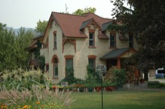 Crockett Houselisted 2009
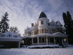 David Eccles Houselisted 1976
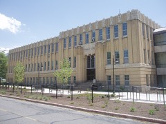 Home Economics/Commons Buildinglisted 1985
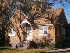 Logan Fish Hatchery Caretaker's Residencelisted 1985
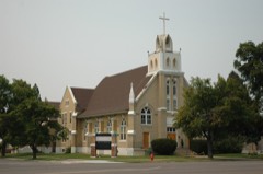 Logan LDS Sixth Ward Churchlisted 1979
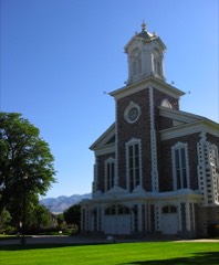 Logan Tabernaclelisted 1975
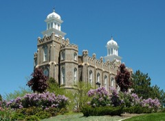 Logan Templelisted 1975
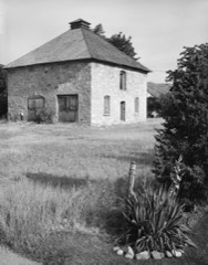 Logan Temple Barnlisted 1985
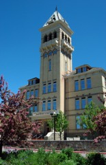 Old Main, Utah State Universitylisted 1972
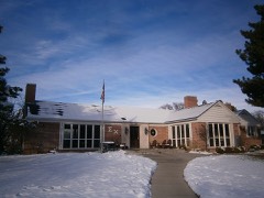 Sigma Chi Fraternity Houselisted 2005
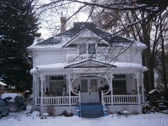 William McNeil Smith Houselisted 1982
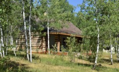 Tony Grove Ranger Station Historic Districtlisted 1992
Surveyed buildings and structures 3 records
- Logan Temple Barn, 368 East Second North, Loganfederal building survey, 4 photographs
- Oregon Short Line Railroad Station, Sixth West Street, Loganfederal building survey, 9 photographs
- Utah State University, Lund Hall, 3500 Old Main Hill, Loganfederal building survey, 7 photographs
Population over time
3 figuresLogan grew from 1,757 to 52,778 between 1870 and 2020. These are the recorded population figures Wikidata holds for this place, reached through the Geographic Names Information System number this page is keyed on rather than by name, so they belong to this place and not to another of the same name. Most are census counts, but not all are: an early figure may be a founding or settlement estimate, and an estimate published within five years of a census is left out. The change column is computed, and is left blank where more than 20 years separate a figure from the one before it, because a gap that long is not a change between two counts.
| Year | People | Change |
|---|---|---|
| 1870 | 1,757 | |
| 2010 | 48,174 | |
| 2020 | 52,778 | +4,604 (+10%) |
Topographic sheets covering this place
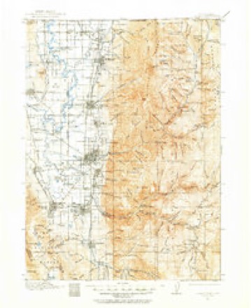
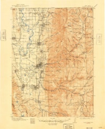
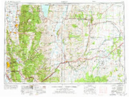
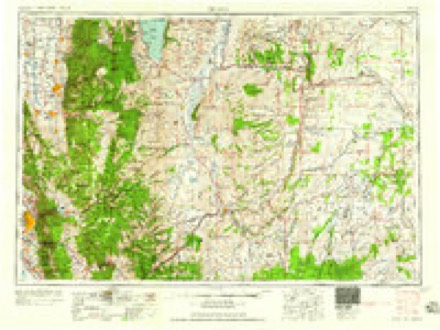
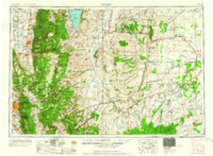
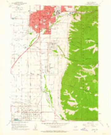
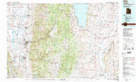
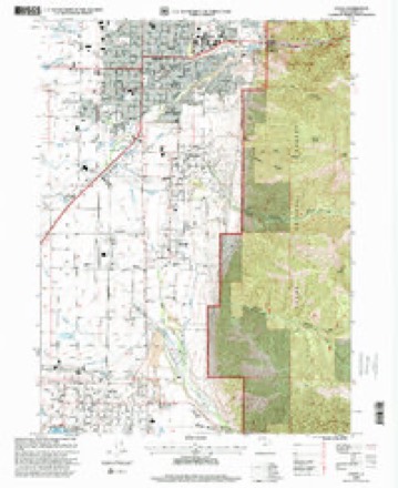
8 surveys from 17 printed sheetsMatched by testing this settlement's coordinate against the published boundary of every sheet in the United States Geological Survey's historical collection. Each opens the scanned sheet at the Survey.
- 1914 USGS Logan quadrangle1:125000
- 1916 USGS Logan quadrangle1:125000, 4 printings
- 1954 USGS Ogden quadrangle1:250000, 3 printings
- 1958 USGS Ogden quadrangle1:250000
- 1960 USGS Ogden quadrangle1:250000
- 1961 USGS Logan quadrangle1:24000, 3 printings
- 1984 USGS Logan quadrangle1:100000, 3 printings
- 1998 USGS Logan quadrangle1:24000
What the histories say of this town
9,473 words1 chapter about Logan from the published histories of the county, public domain and reproduced complete.
| Chapter | From | Length |
|---|---|---|
| Cache County, the Eden of Utah : an Inland Empire, Abounding in Natura | Cache County, the Eden of Utah : an Inland Empire, Abounding in Natural Wealth and Unusual Opportunities. One of the West's Most Fertile Spots. A Land Offering Inducements to Both Farmer and Manufacturer (1916) | 9,473 words |
Photographs
8 of 14 photographs shown, 1940 to 2022Taken for the Office of War Information and the Farm Security Administration, who photographed the country between 1935 and 1944. Works of United States government photographers, with no known restriction on use. Each opens its catalogue record.
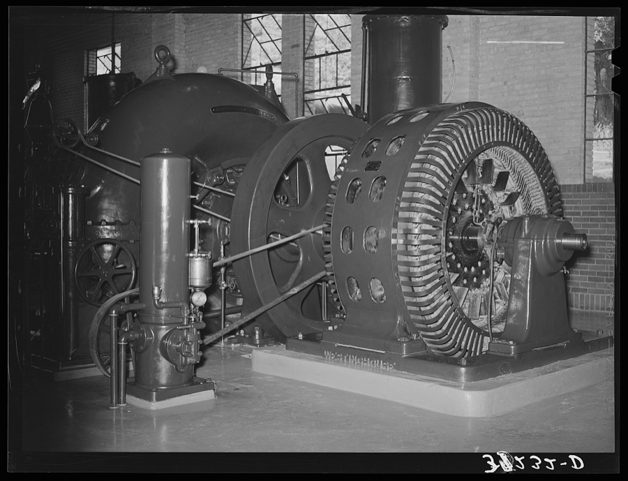
Lee, Russell, 1940. Library of Congress
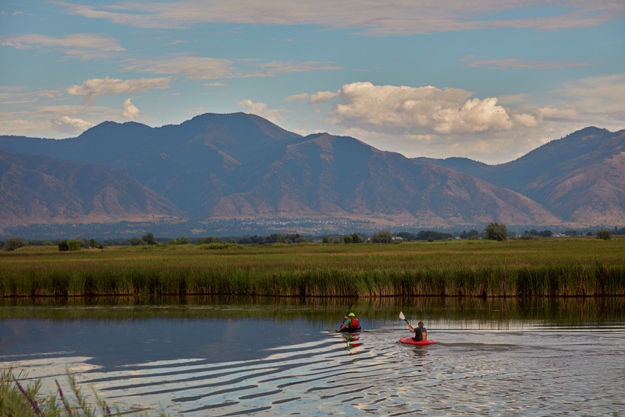
Highsmith, Carol M, 2022. Library of Congress
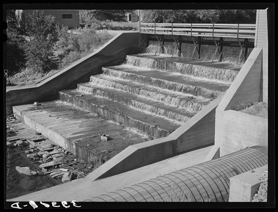
Lee, Russell, 1940. Library of Congress
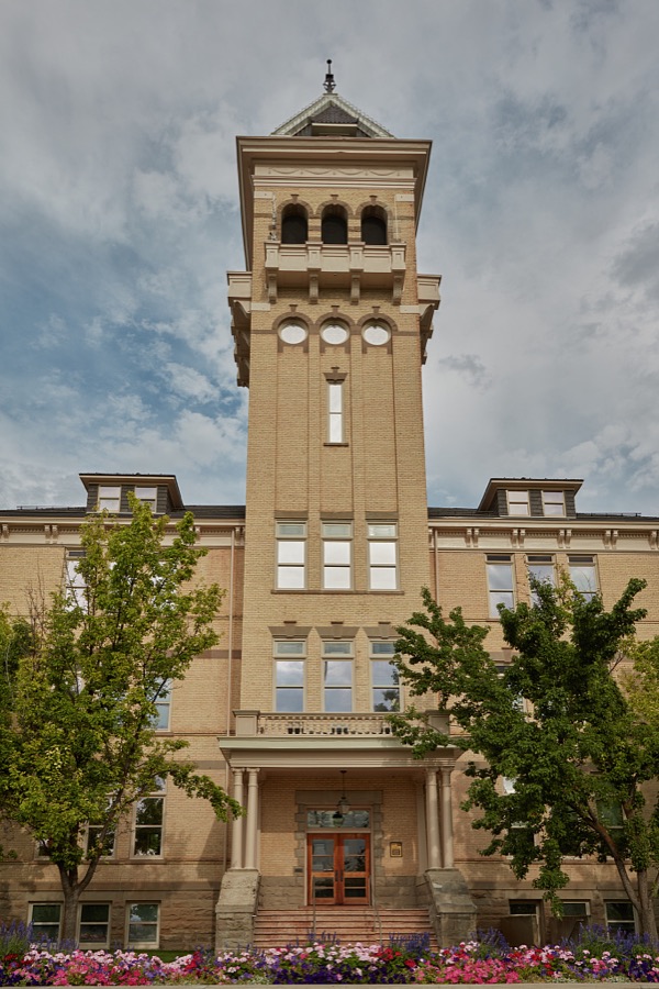
Highsmith, Carol M, 2022. Library of Congress
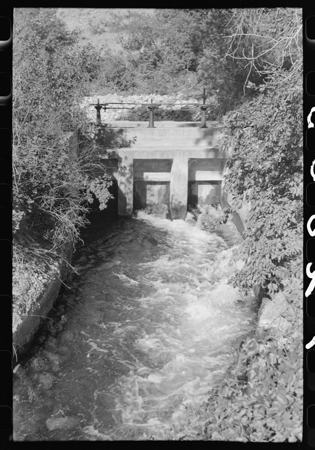
Lee, Russell, 1940. Library of Congress
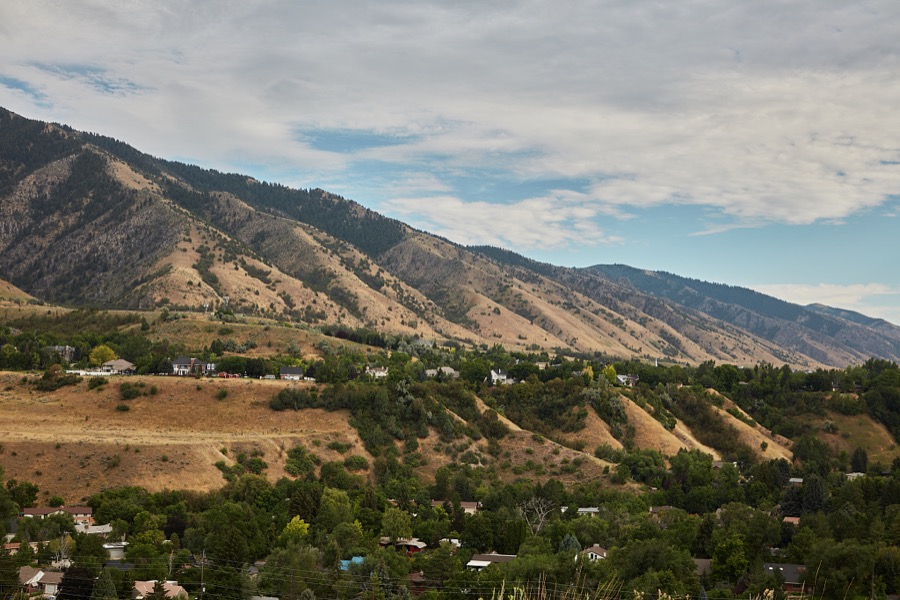
Highsmith, Carol M, 2022. Library of Congress
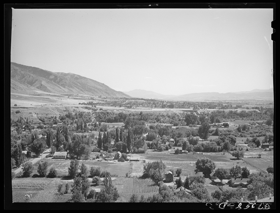
Lee, Russell, 1940. Library of Congress
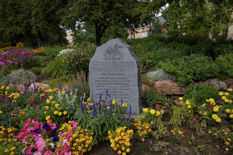
Highsmith, Carol M, 2022. Library of Congress
Every photograph of Cache County
Fires near this place
71 since 1992Regional context, not property-specific evidence. The federal wildfire occurrence database lists 71 fires within 5 miles of Logan between 1992 and 2020, burning about 1,424 acres in total. 20 started naturally. 4 were recorded as arson. Distance is straight-line from the map coordinates, so a fire counted here may appear on a neighbouring settlement's page as well.
| Reported cause | Fires |
|---|---|
| Natural | 20 |
| Missing data/not specified/undetermined | 14 |
| Recreation and ceremony | 10 |
| Power generation/transmission/distribution | 7 |
| Fireworks | 5 |
| Debris and open burning | 4 |
| Arson/incendiarism | 4 |
| Equipment and vehicle use | 4 |
| Misuse of fire by a minor | 2 |
| Smoking | 1 |
The most recent of them, most recent first, with the day each was reported and the service that recorded it.
| Date | Cause | Size | Reported by | Name on the report |
|---|---|---|---|---|
| 7 September 1999 | Recreation and ceremony | under an acre | Uinta-Wasatch-Cache National Forest | THIRD DAM |
| 19 September 2014 | Natural | under an acre | Uinta-Wasatch-Cache National Forest | RICK |
| 10 September 1999 | Power generation/transmission/distribution | under an acre | Uinta-Wasatch-Cache National Forest | SECOND DAM |
| 10 September 1999 | Power generation/transmission/distribution | under an acre | Utah Division Forestry Fire State Lands | SECOND DAM FIRE |
| 9 August 2000 | Natural | under an acre | Uinta-Wasatch-Cache National Forest | LITTLE BALDY |
| 8 August 1998 | Natural | under an acre | Utah Division Forestry Fire State Lands | CIRCLE VIEW |
| 8 August 1998 | Natural | under an acre | Utah Division Forestry Fire State Lands | HYDE PARK LANE |
| 8 August 1998 | Natural | under an acre | Utah Division Forestry Fire State Lands | ROCKING R |
Settlements close enough to share some of these fires:
Mines and quarries near this place
10 of 27 shownRegional context, not property-specific evidence. The federal mineral resources record lists 27 workings within 5 miles of Logan: 10 past producers, 9 producers, 8 occurrences. 9 still produce. What was taken out: Sand and Gravel, Construction, Calcium, Stone, Dimension, Limestone, General. Distance is straight-line from the map coordinates, so a quarry counted here may appear on a neighbouring settlement's page as well.
| Where | Site | Commodity | Status | Recorded |
|---|---|---|---|---|
| Green Canyon Quarry No 2 | Stone | Past Producer | ||
| Hoffman Claims | Dolomite | Occurrence | Dolomite | |
| Unknown | Limestone, General | Producer | ||
| Green Canyon Quarry No 1 | Stone, Dimension | Past Producer | ||
| Green Canyon Quarry No 2 | Stone, Dimension | Past Producer | Surface | |
| Green Canyon Quarry No. 1 | Stone, Dimension | Past Producer | Surface | |
| La Var A. Mohr | Calcium | Occurrence | Placer | |
| Norman Peterson | Calcium | Occurrence | Placer | |
| Theron M. Campbell | Calcium | Occurrence | Placer | |
| Chugg Pit | Sand and Gravel, Construction | Past Producer | 1960 |
Storms near this place
14 since 1994Regional context, not property-specific evidence. The National Weather Service names Logan in 14 storm reports between 1994 and 2025: 9 thunderstorm wind, 2 hail, 1 funnel cloud, 1 flash flood. No death or injury is recorded in these reports. Each account below is quoted exactly as the forecast office filed it, from the NOAA Storm Events Database, and each date opens the federal record of that event.
| When | Event | Place named | Harm | What the report says |
|---|---|---|---|---|
| September 2016 | Thunderstorm Wind | Logan | $10,000 | Strong thunderstorm winds in Logan knocked over a tree that was a foot in diameter and approximately 50 feet tall. This tree fell onto a house and knocked out power in a 3 block radius. |
| July 2011 | Flood | Logan | $10,000 | The Logan River continued to flood into the beginning of July. This flooding continued to damage and cause the partial closure of the Logan River Golf Course, but otherwise the impacts were largely mitigated, and the waters receded quickly as the snow began to run out. Note that this event began in June. |
| September 2015 | Thunderstorm Wind | Logan | $4,000 | A few medium sized trees were knocked down by strong thunderstorm winds near Logan, with one tree falling onto a car. |
| May 1998 | Thunderstorm Wind | Logan | $3,000 | no account filed |
| May 2025 | Thunderstorm Wind | Logan | - | The US-89 at USU mesonet station recorded a wind gust of 64 mph as a result of outflow winds associated with a nearby cluster of showers and thunderstorms moving through the area. |
| September 2023 | Thunderstorm Wind | Logan | - | The US-89 at USU mesonet station recorded a wind gust of 59 mph as a result of outflow winds associated with a nearby cluster of showers and thunderstorms moving through the area. |
| June 2019 | Thunderstorm Wind | Logan | - | Several trees were downed. |
| September 2019 | Hail | North Logan | - | Quarter-sized hail fell at the campus of Utah State University. |
| September 2019 | Hail | North Logan | - | Half-dollar-sized hail was reported in Logan. |
| February 2011 | Thunderstorm Wind | Logan | - | The Logan CWOP sensor recorded a maximum wind gust of 61 mph. |
| September 2007 | Flash Flood | Logan | - | Widespread street flooding occurred, including reports from local media of garbage cans floating down the streets of Logan. |
| July 2002 | Funnel Cloud | Logan | - | A funnel cloud was spotted briefly near Logan. |
| April 1994 | Thunderstorm Wind | Logan | - | no account filed |
| July 1994 | Thunderstorm Wind | Logan | - | no account filed |
Nearest settlements
The eight closest, with where each one stands in the county. Distances are straight-line, computed from the Geographic Names Information System coordinates.
| Map | Place | Distance | Sheets |
|---|---|---|---|
| River Heights | 1.2 miles | 17 | |
| Providence | 2.2 miles | 17 | |
| Greenville | 2.3 miles | 18 | |
| North Logan | 2.8 miles | 18 | |
| Millville | 3.8 miles | 17 | |
| Holt | 4.2 miles | 17 | |
| Nibley | 4.2 miles | 17 | |
| Hyde Park | 4.4 miles | 18 |
Elsewhere
Matched on this settlement's Geographic Names Information System number rather than its name, so it cannot be a different place of the same name in another state.
| Wikipedia article on Logan | An encyclopaedic summary. Its text is share-alike, so it is linked here rather than copied. |
| Wikidata item Q482657 | The structured record the population and elevation above come from. Public domain (CC0). |
Provenance
This settlement is recorded in the Geographic Names Information System as feature 1442849. The sheet list is computed by point-in-boundary test against the United States Geological Survey's historical topographic inventory. Both are works of the United States government and carry no copyright under 17 U.S.C. 105.
Wildfire. Short, Karen C. 2022. Spatial wildfire occurrence data for the United States, 1992-2020 [FPA_FOD_20221014]. 6th Edition. Fort Collins, CO: Forest Service Research Data Archive. https://doi.org/10.2737/RDS-2013-0009.6 Collected with United States Government funding and usable without additional permissions or fees.
Mines and quarries. USGS Mineral Resources Data System (MRDS) https://mrdata.usgs.gov/mrds/ A work of the United States government, no copyright under 17 U.S.C. 105.
Storms. NOAA National Centers for Environmental Information, Storm Events Database https://www.ncei.noaa.gov/stormevents/ A work of the United States government, no copyright under 17 U.S.C. 105. Narratives are quoted verbatim from the National Weather Service report and are not edited or summarised.