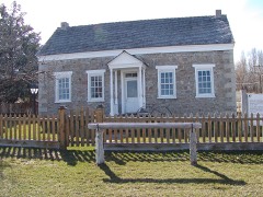
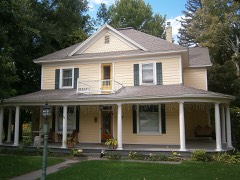
Block
From the record
80 National Register listings published here.
Sources: the county history on the Internet Archive · the National Register database, National Park Service
64 topographic sheets and 14 fire insurance atlases across 5 places.
80 National Register listings published here.
Sources: the county history on the Internet Archive · the National Register database, National Park Service
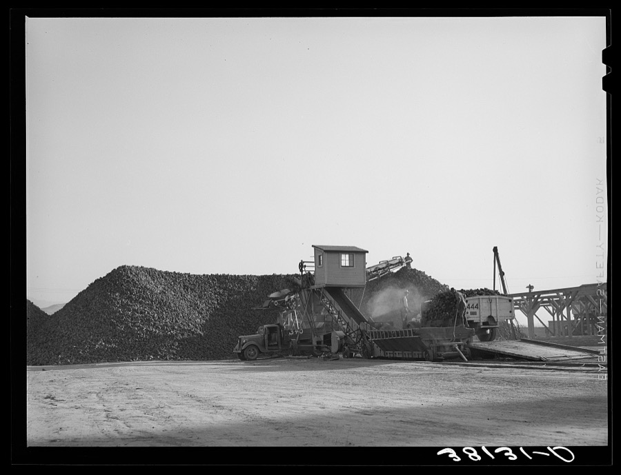
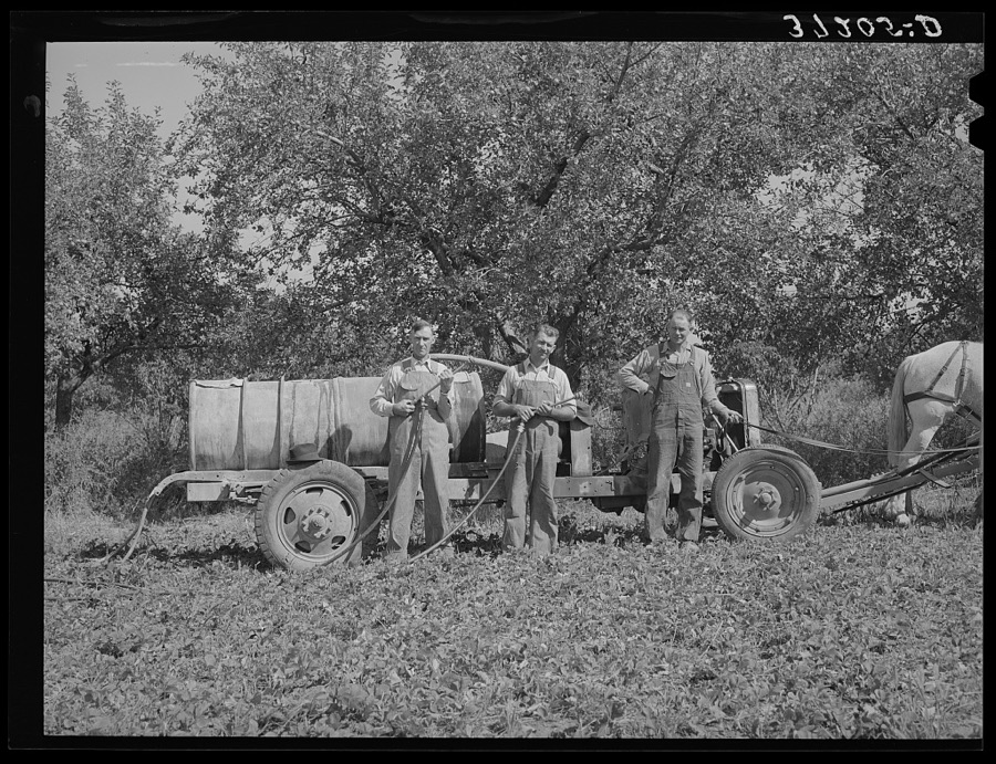
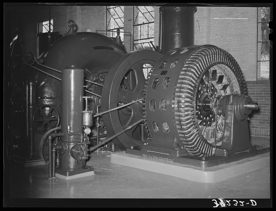
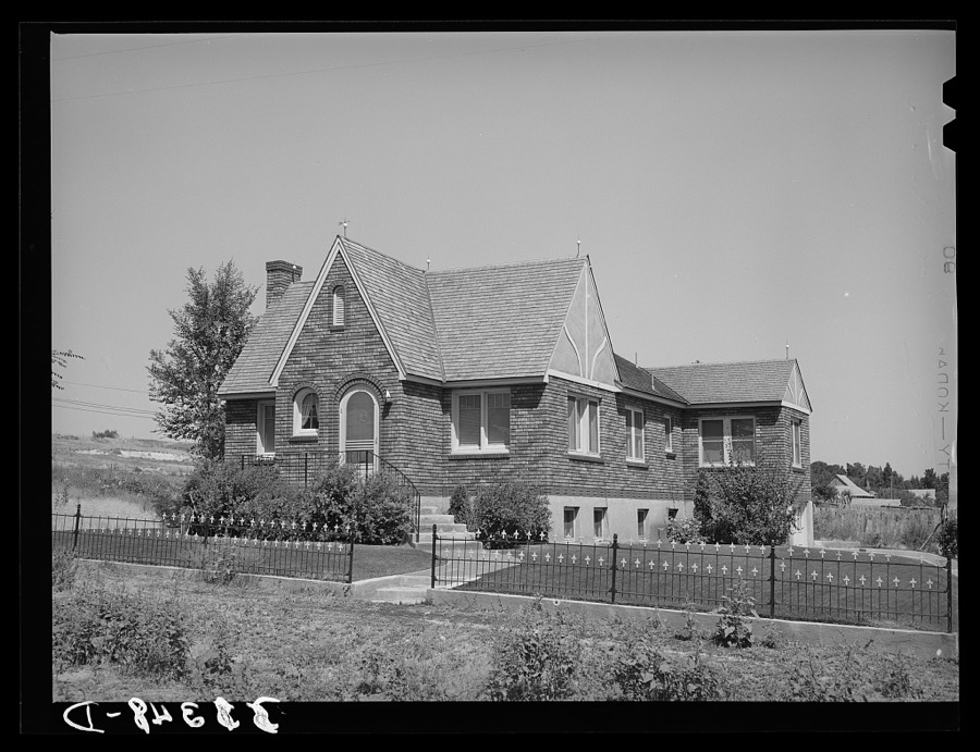
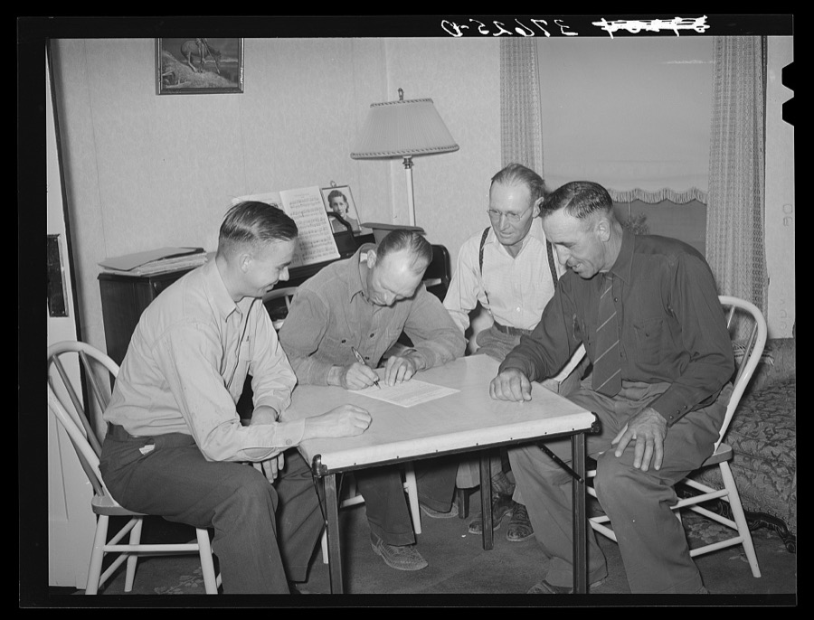
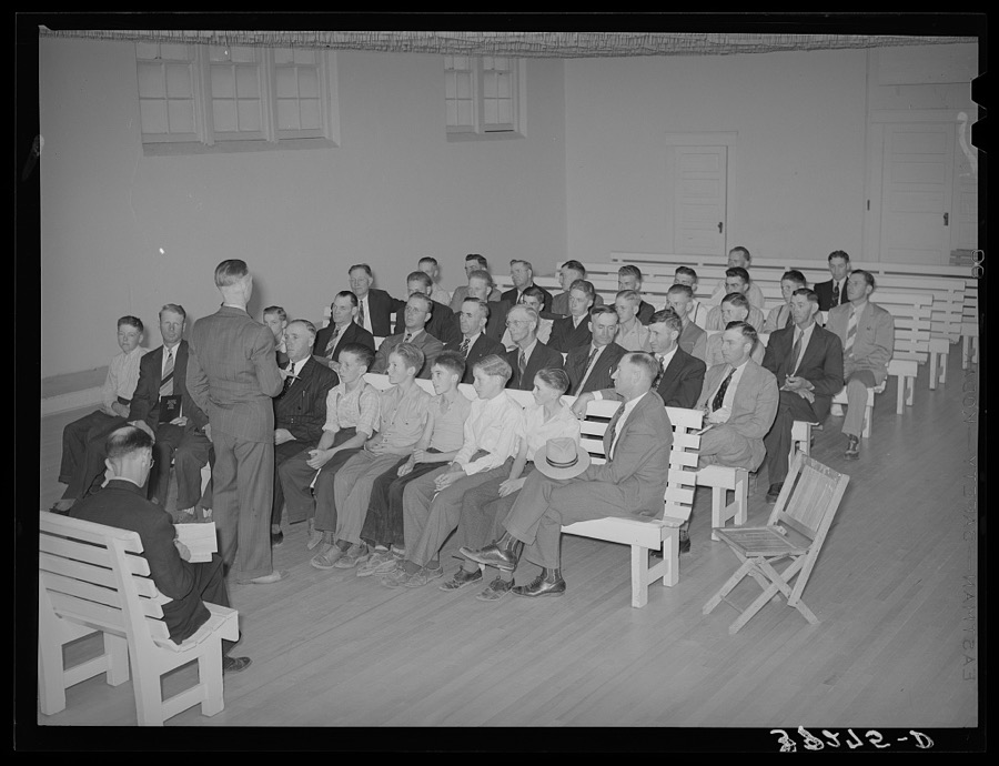
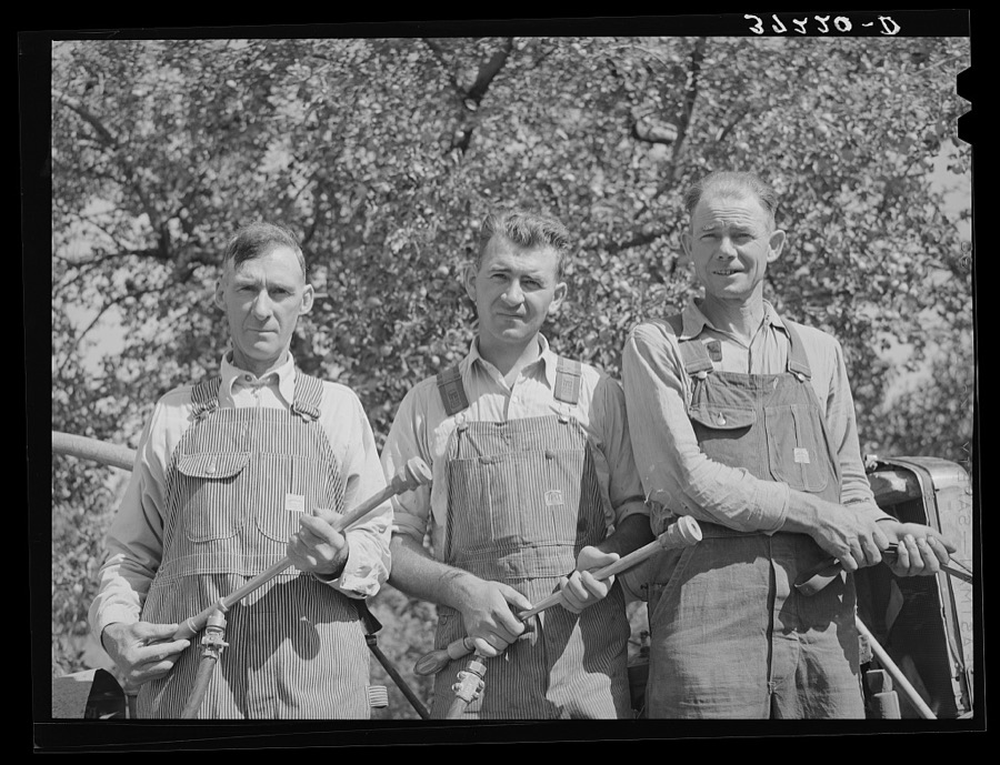
Taken for the Office of War Information and the Farm Security Administration, who photographed the country between 1935 and 1944. Works of United States government photographers, with no known restriction on use. Each opens its catalogue record.
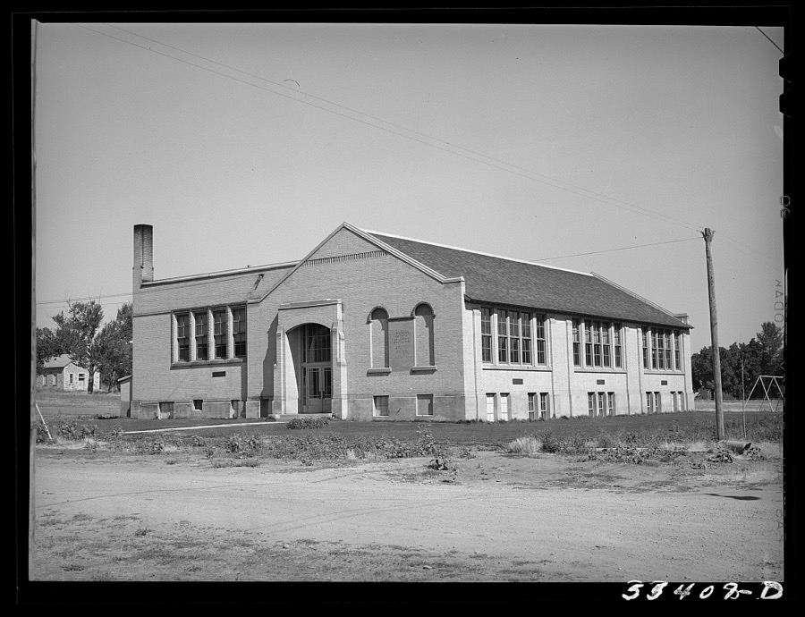


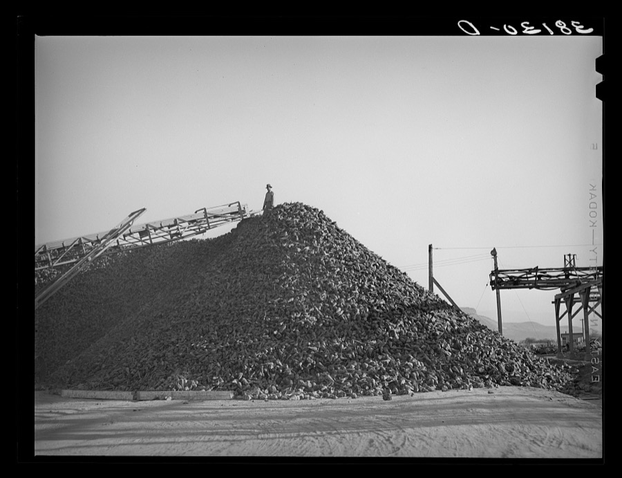
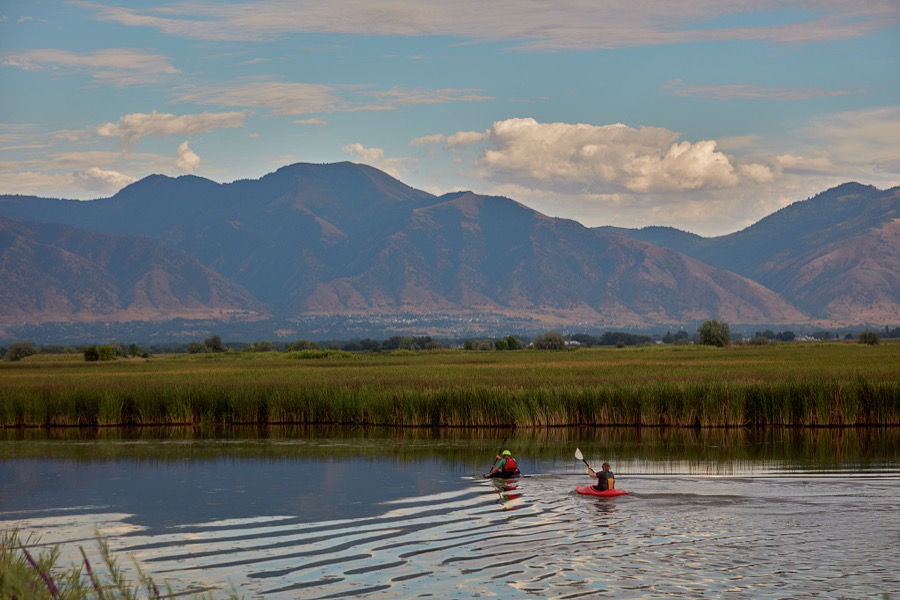
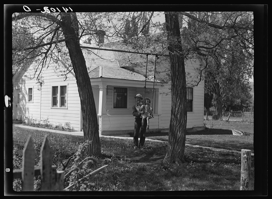
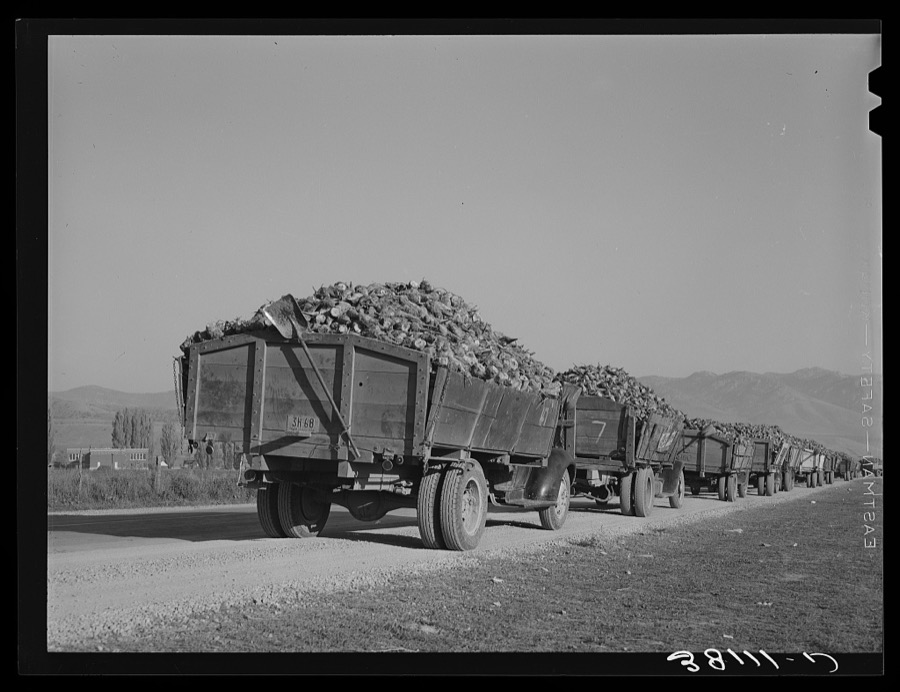
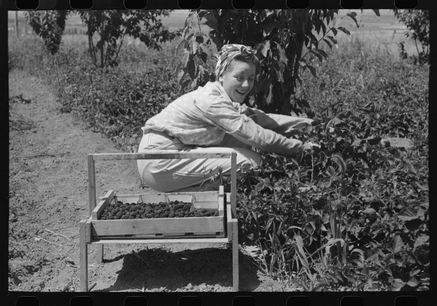
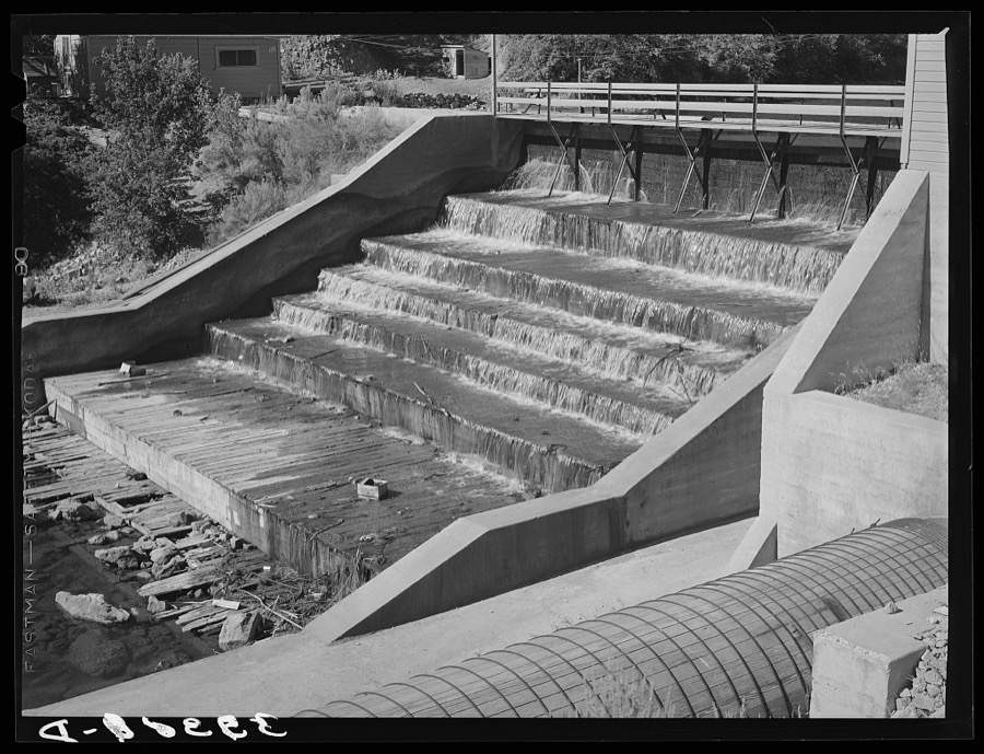
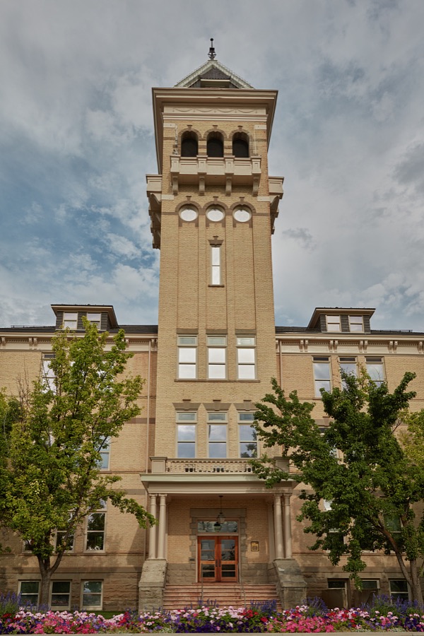

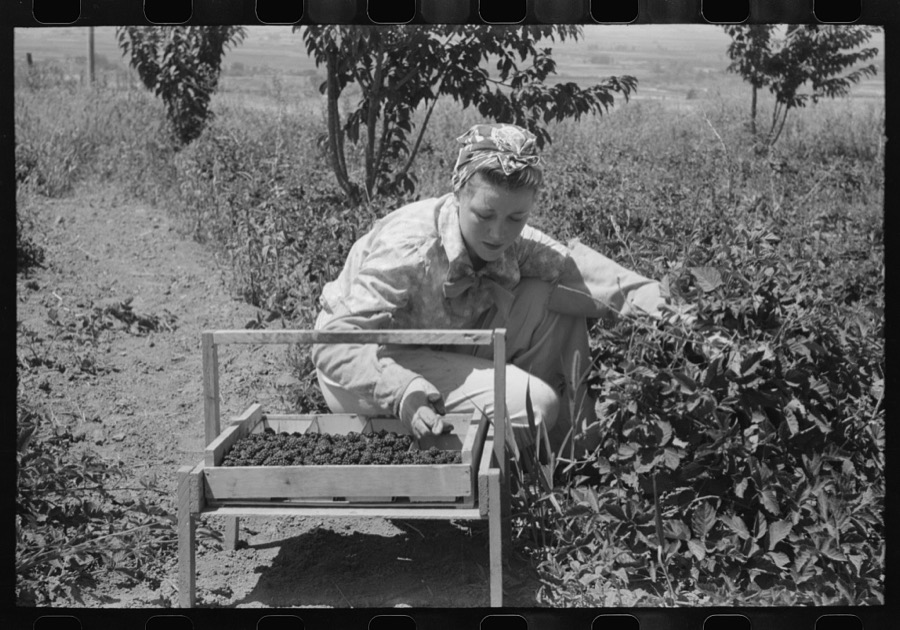
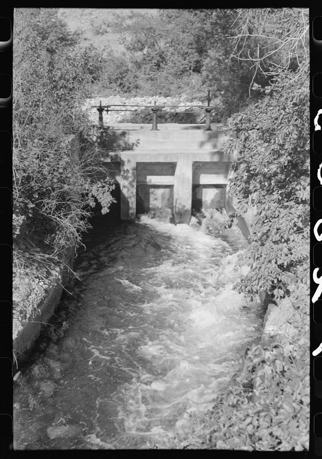
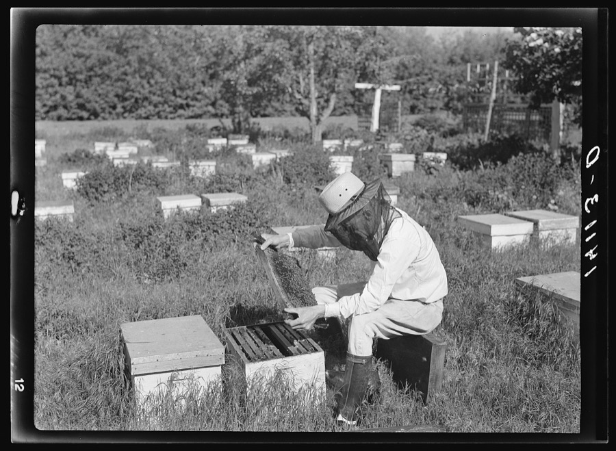
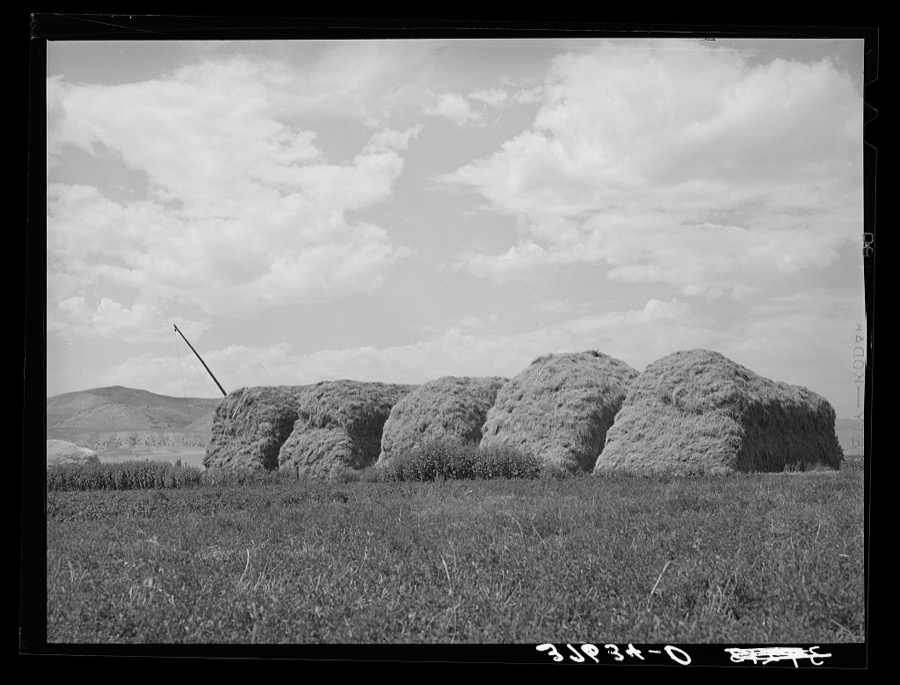
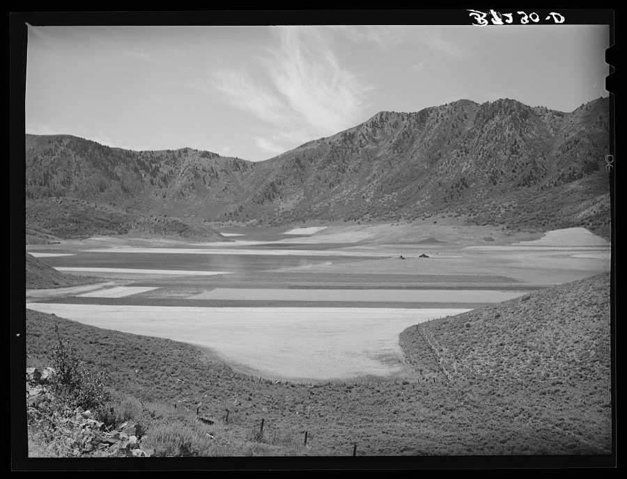
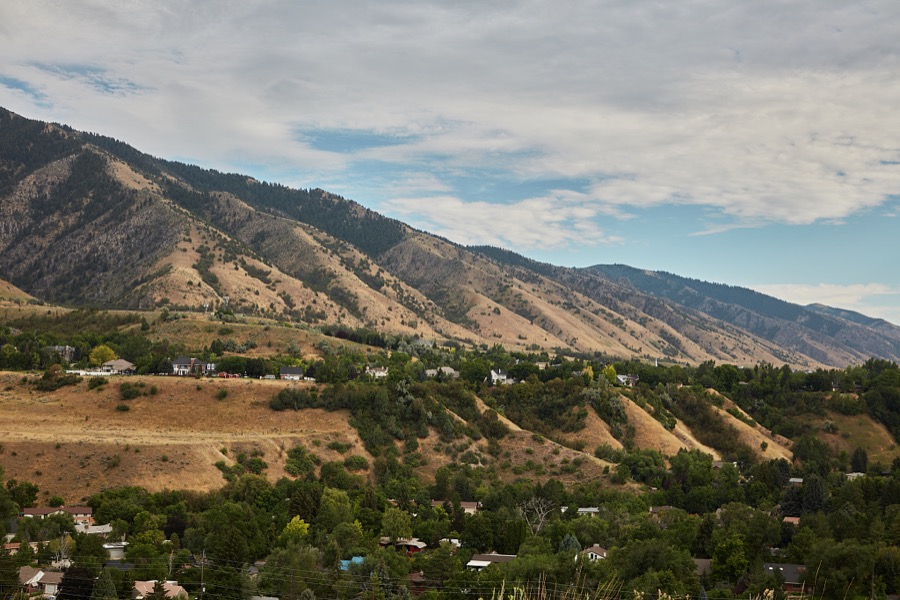
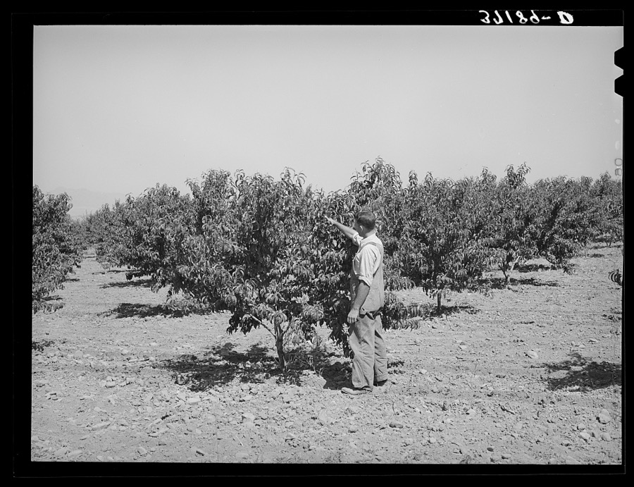
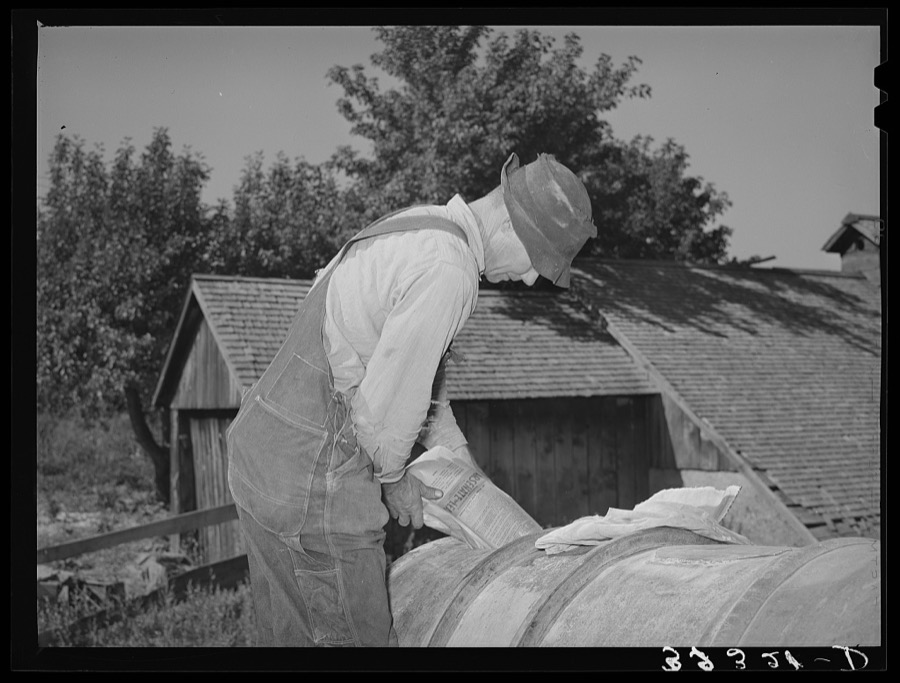
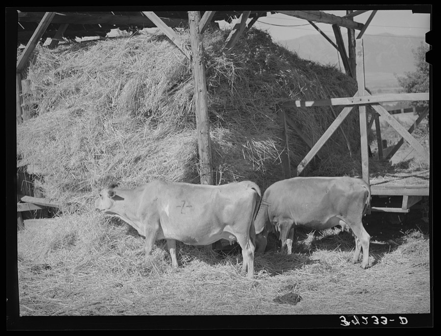
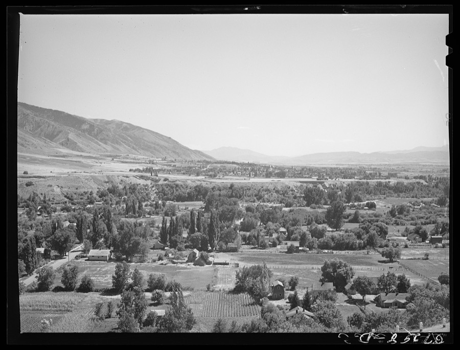
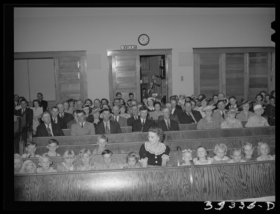
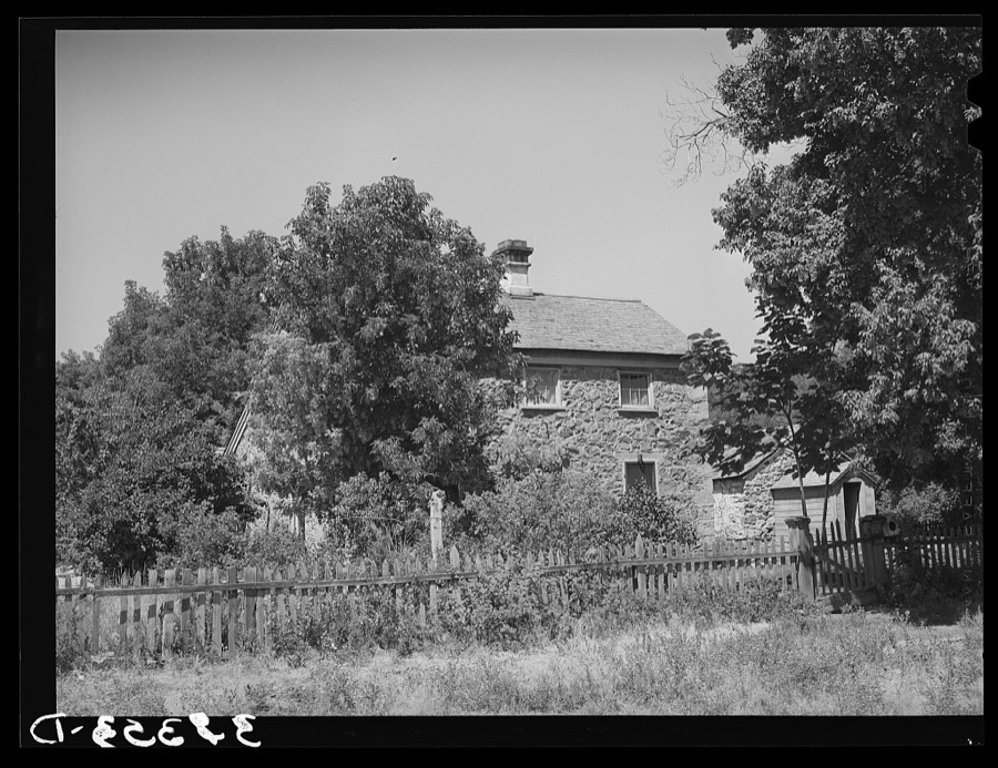
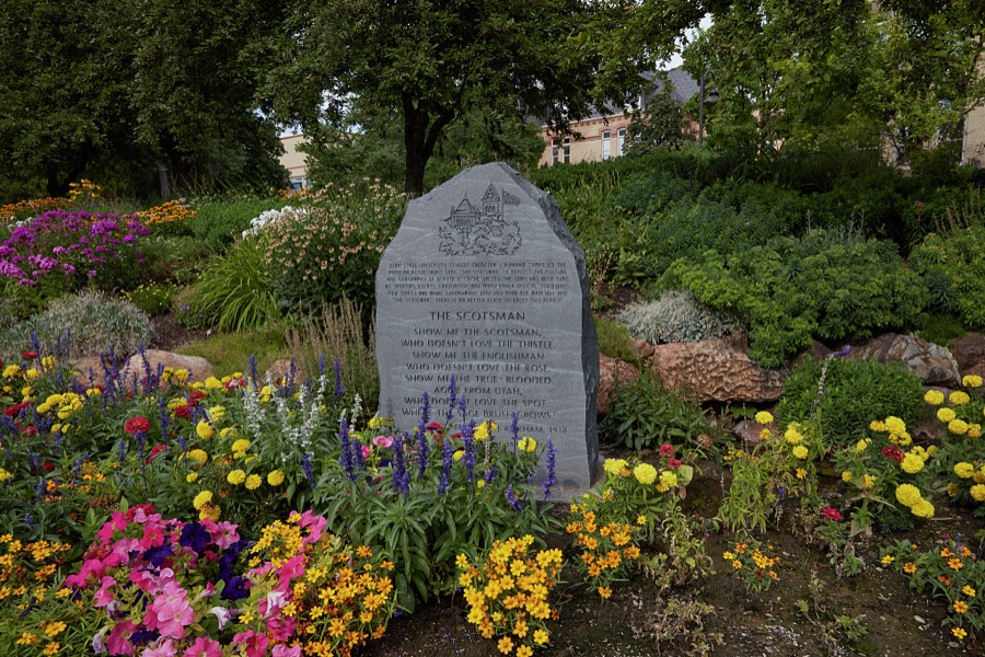
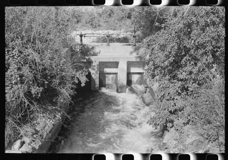

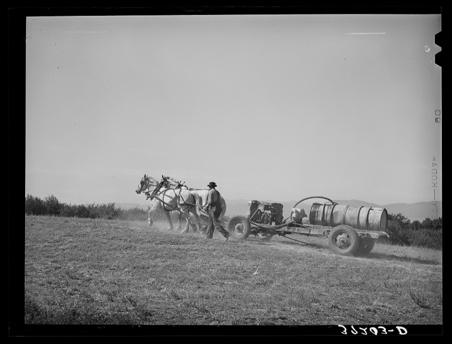
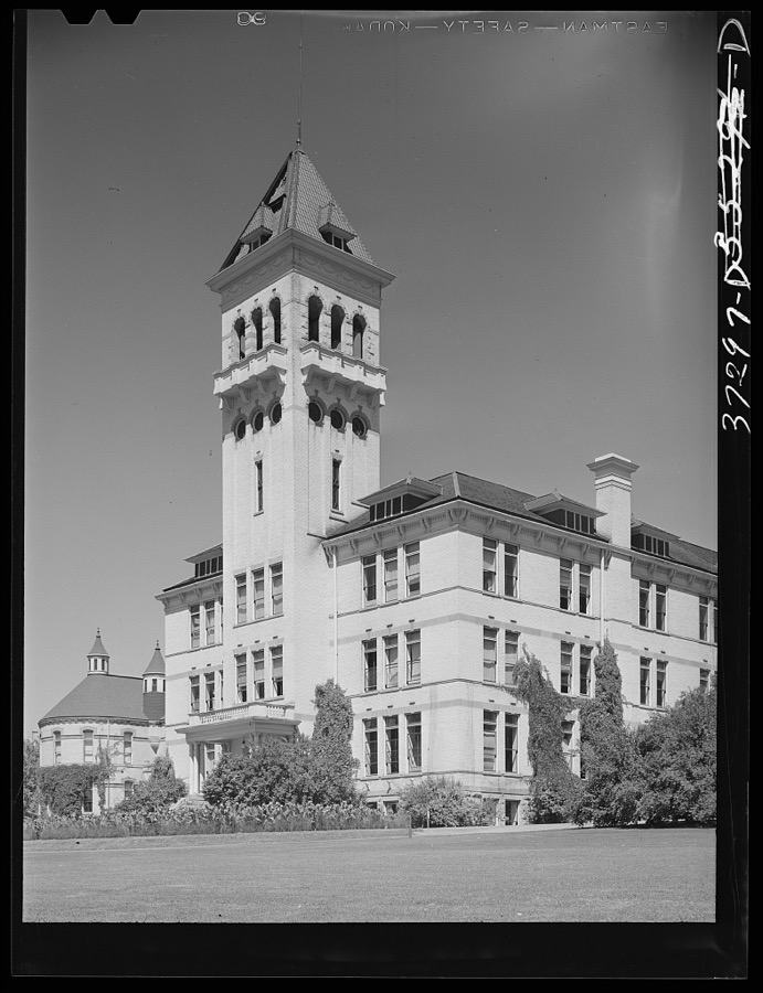
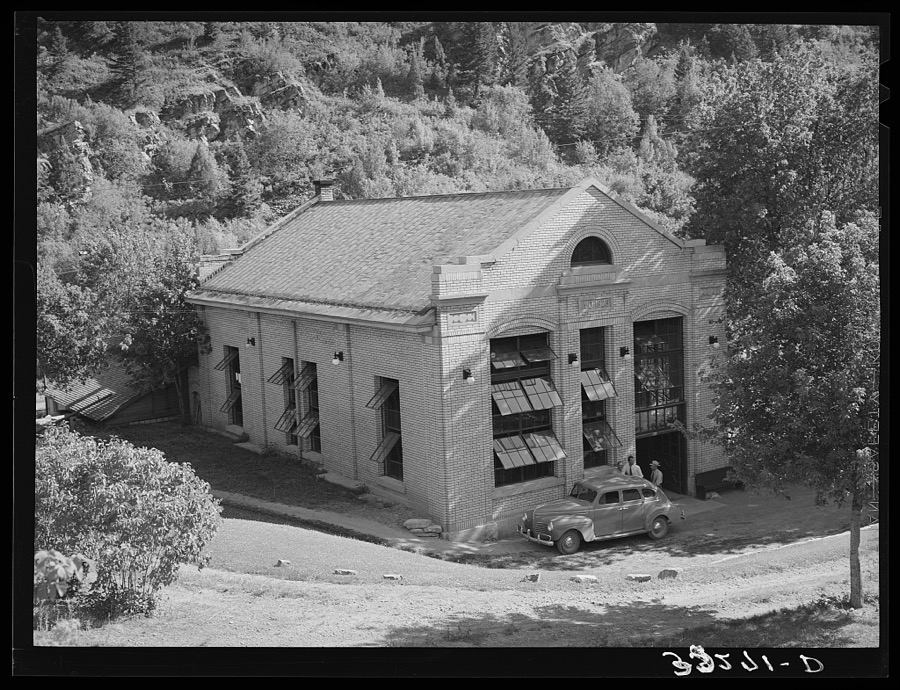
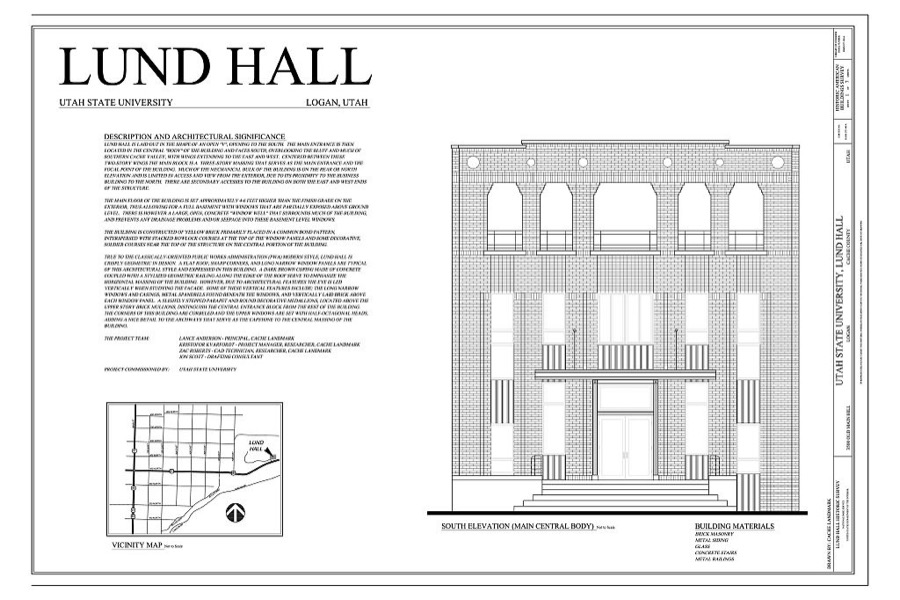
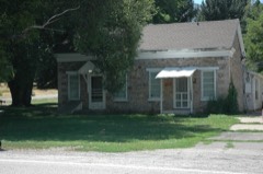
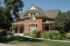
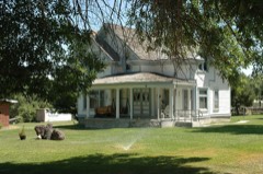
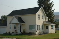
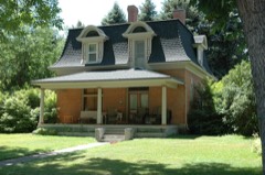
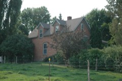
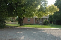
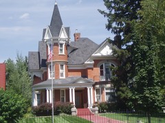
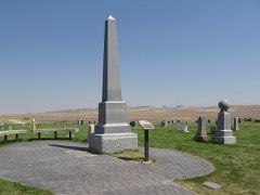
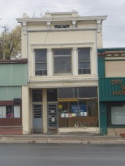
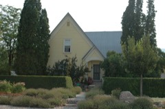
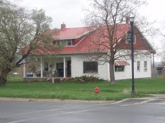
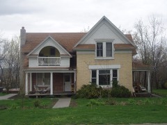
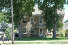
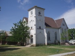
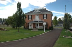
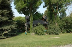
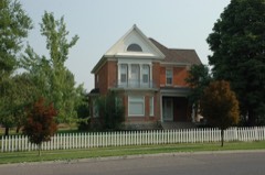
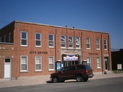
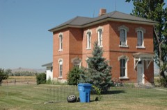
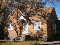
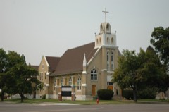
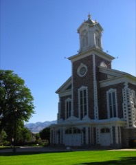
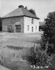
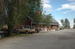
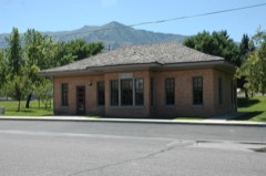
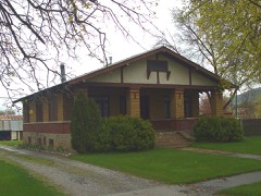
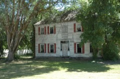
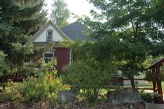
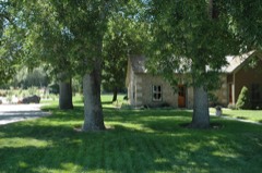
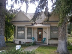
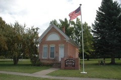
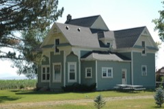
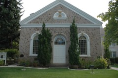
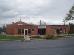
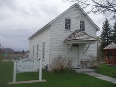
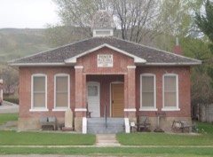
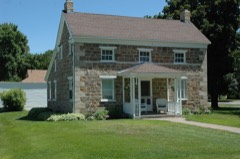
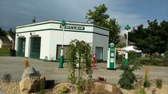
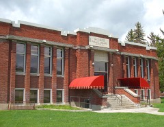
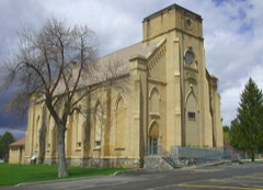
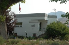
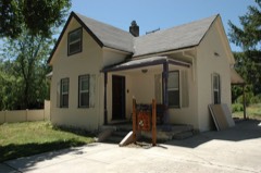
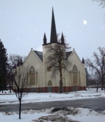
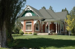
Every property in this county listed on the National Register of Historic Places, with the year it was listed and the federal nomination document.
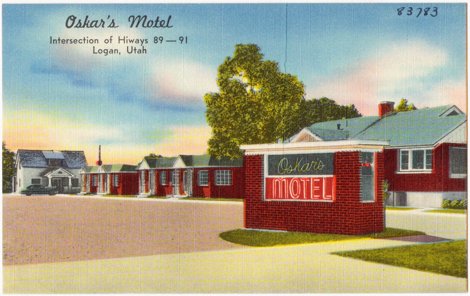
Selected from the Digital Public Library of America's 60 image records catalogued for this county. Every one shown here carries a public-domain status or a licence that permits reuse on a site that carries advertising; non-commercial, share-alike and restricted images are excluded. The selection is spread across the county's towns (at most eight per town), so no single institution's bulk upload crowds out the rest. Each opens the holding library's record, and the complete set at the Digital Public Library of America is one click away.
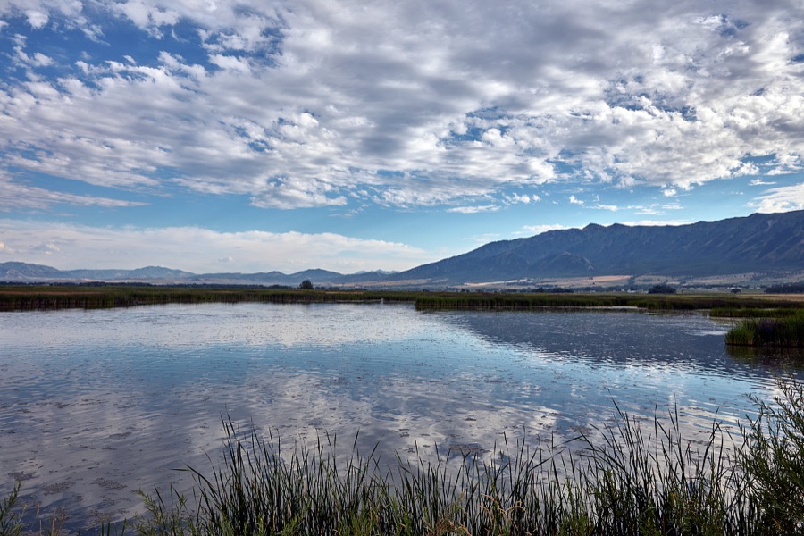
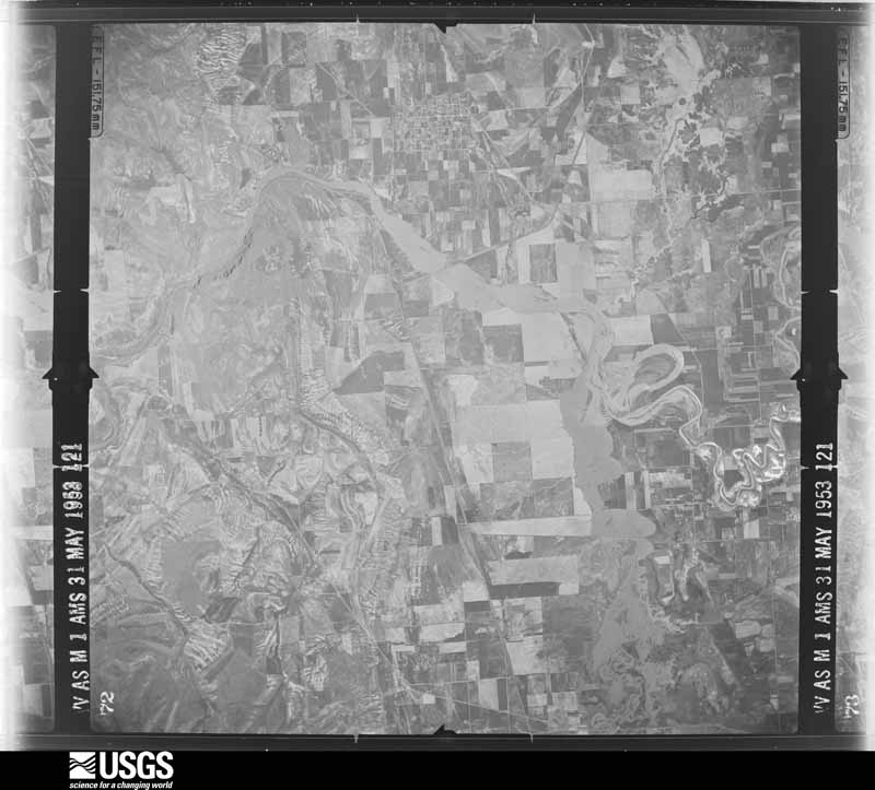
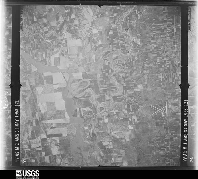
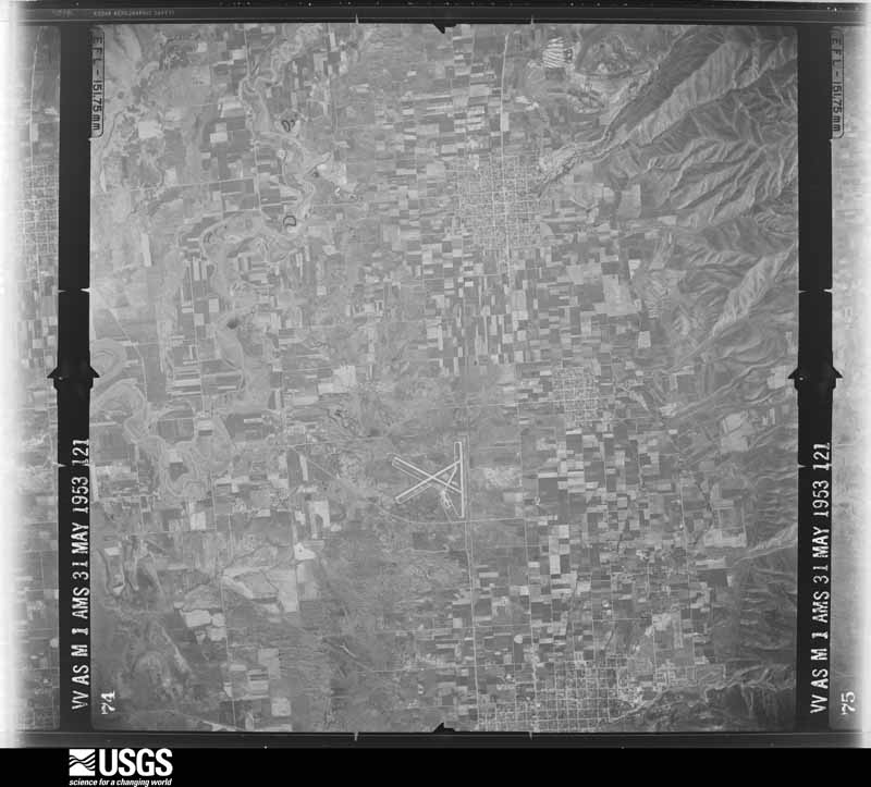
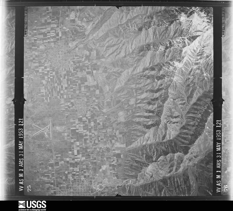
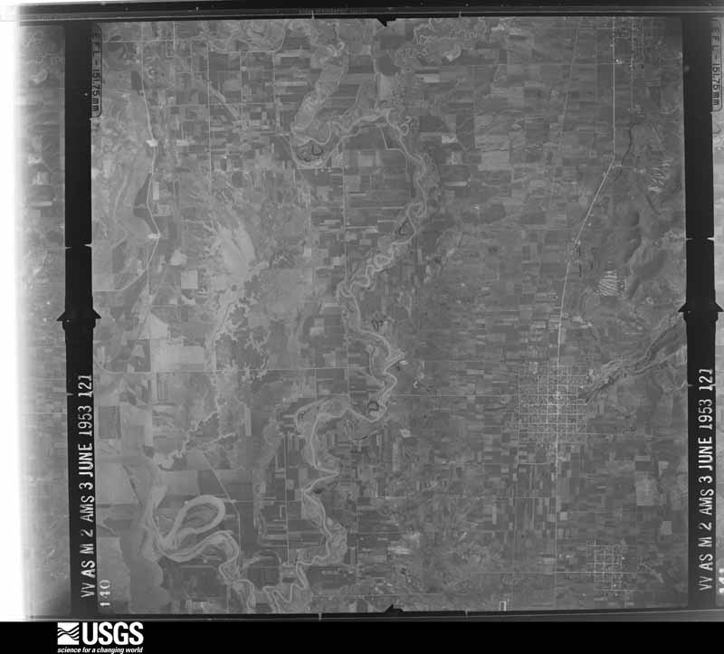
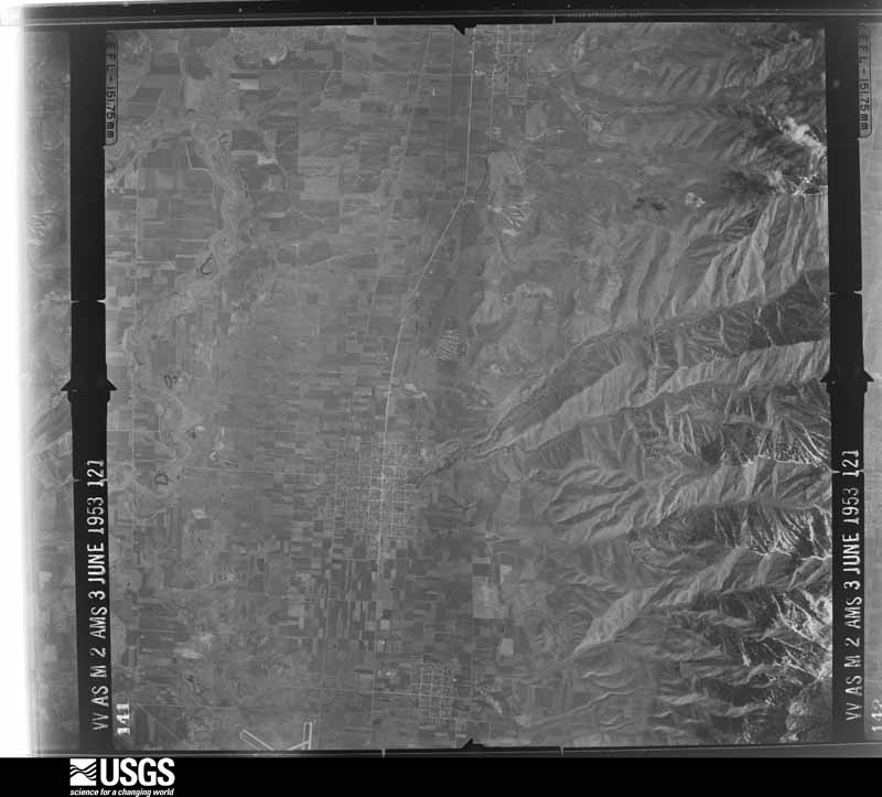
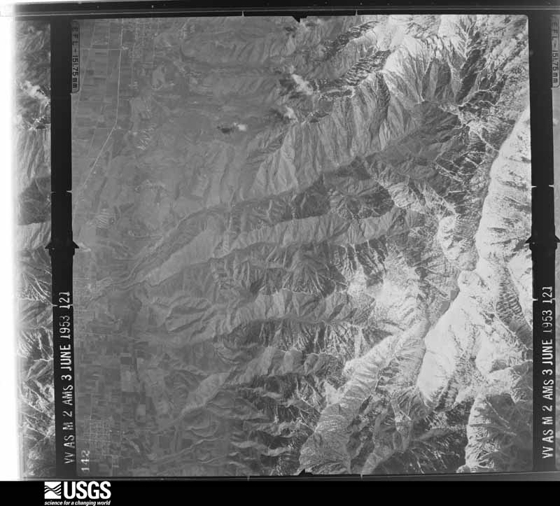
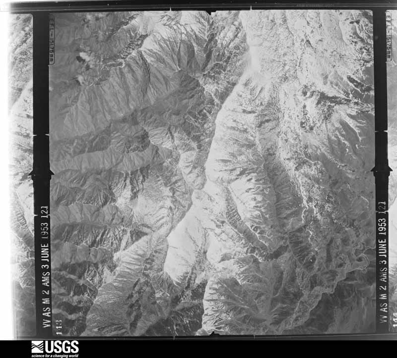
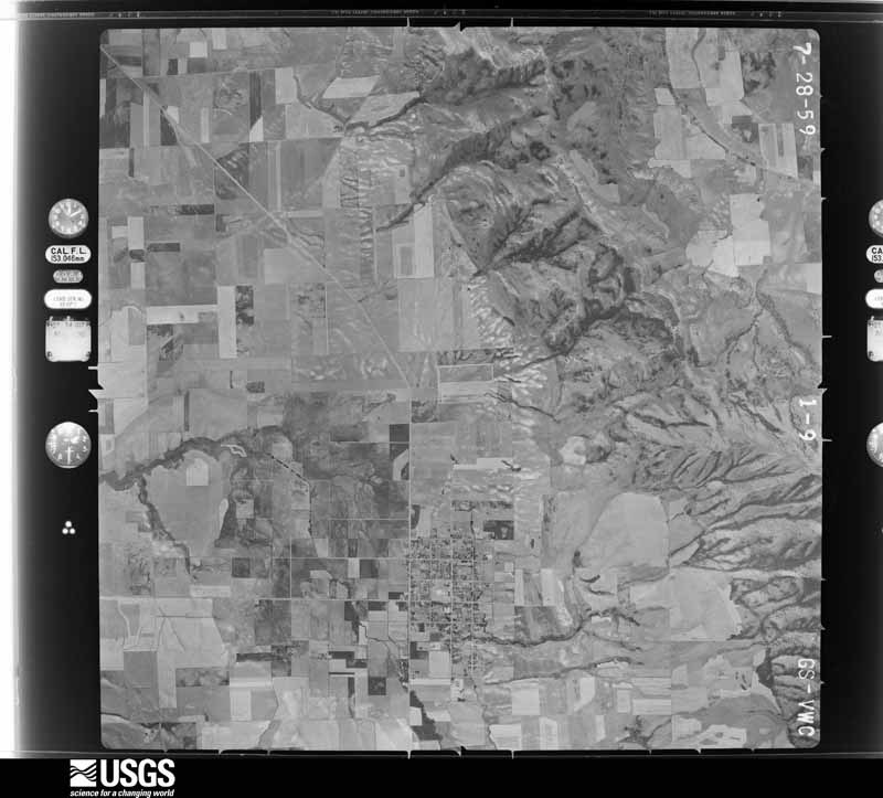
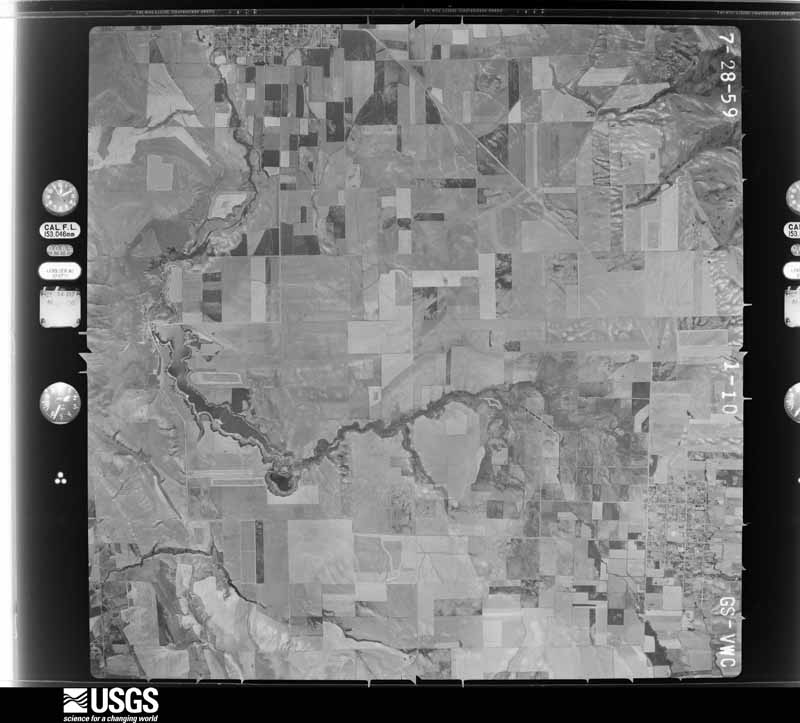
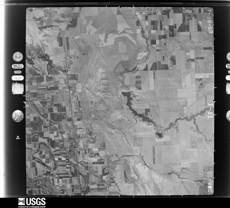
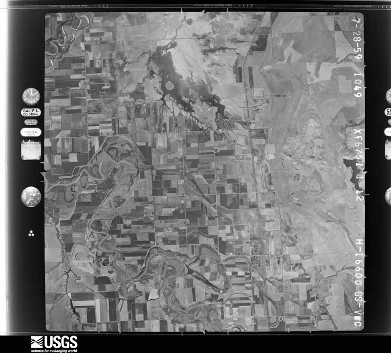
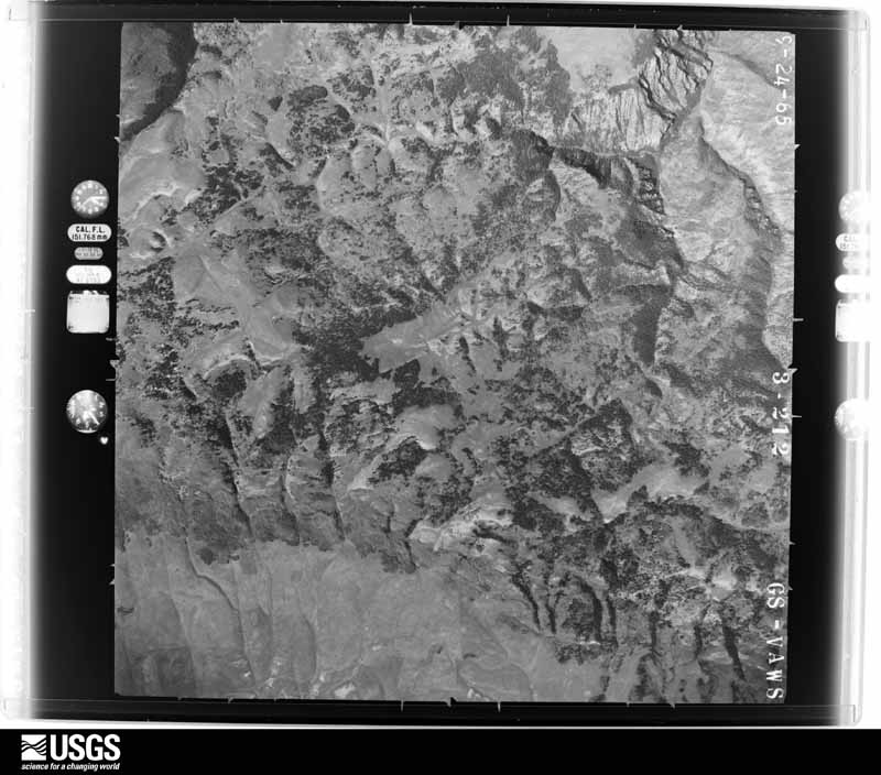
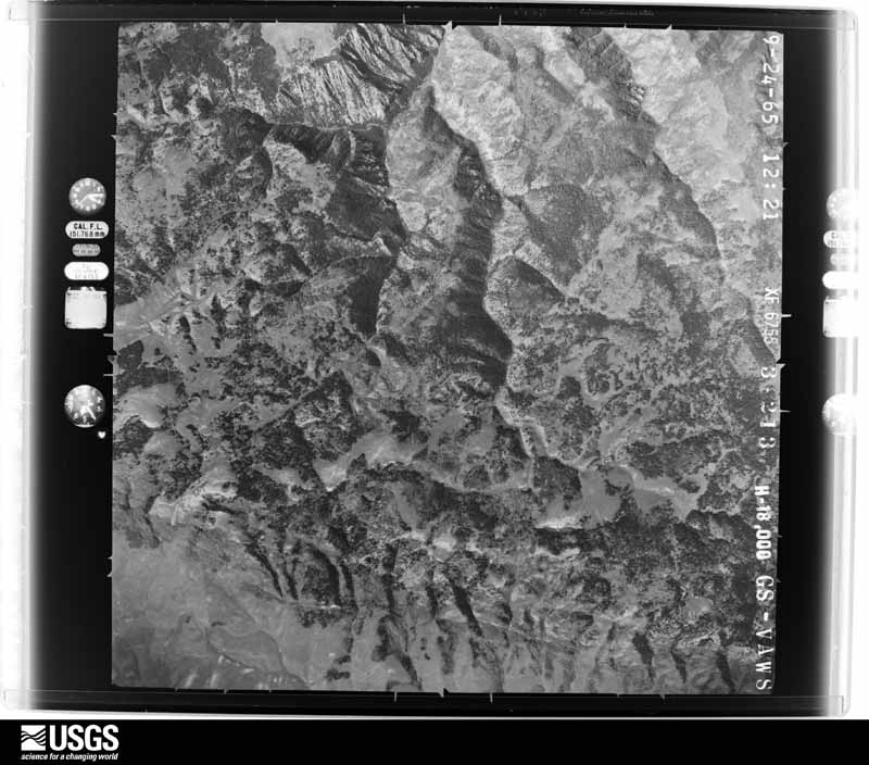
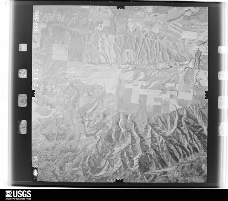
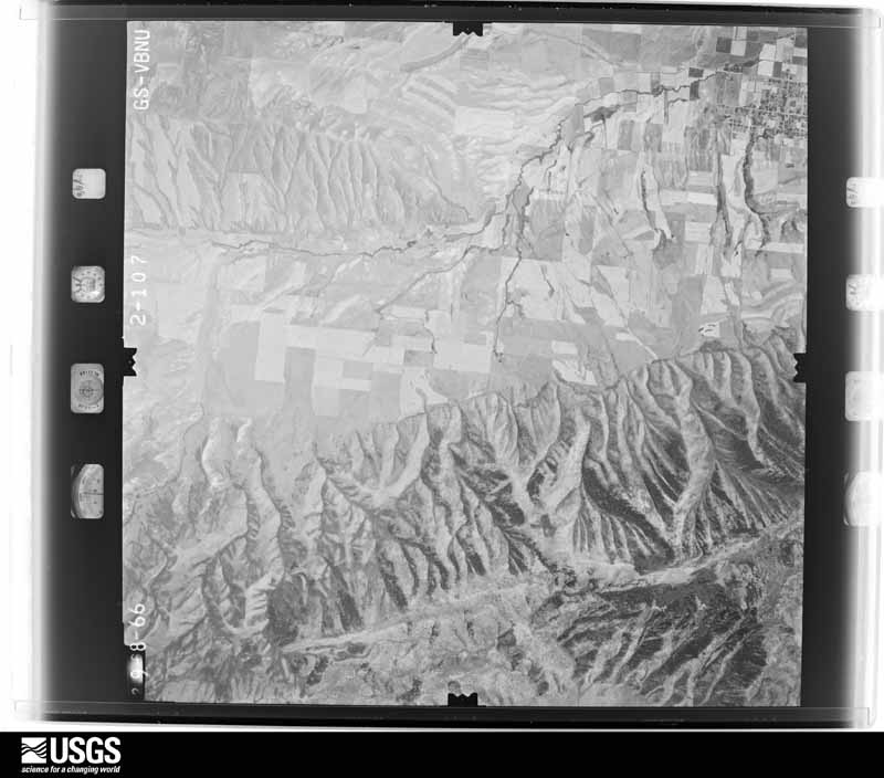
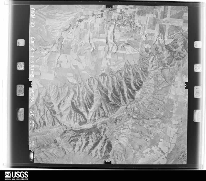
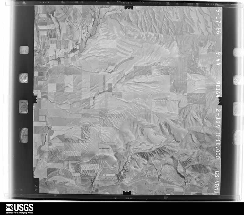
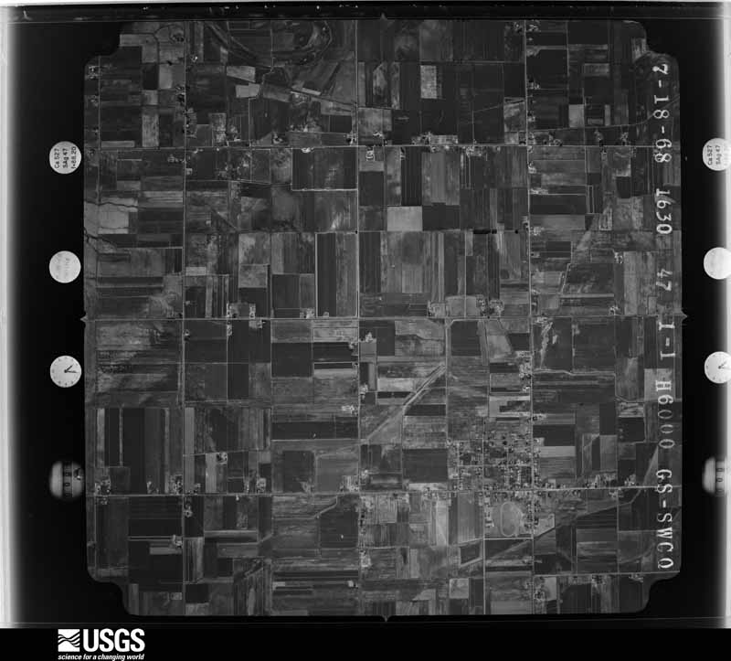
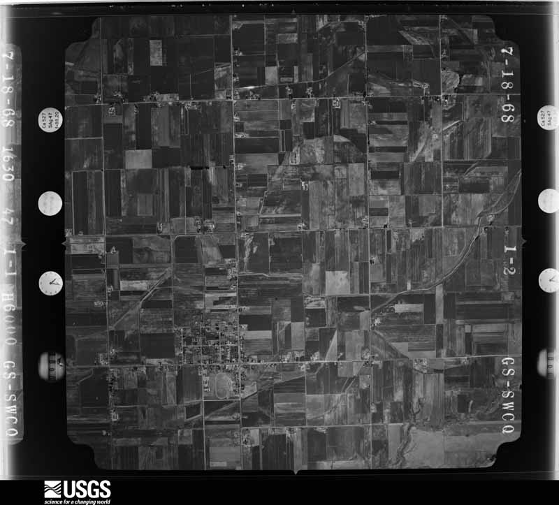
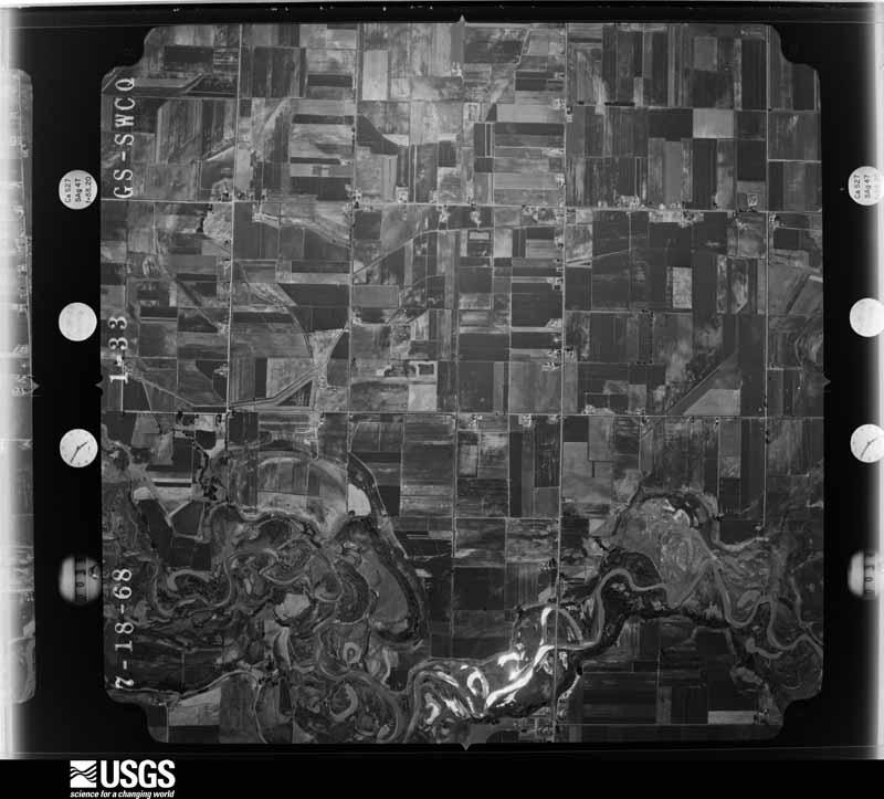
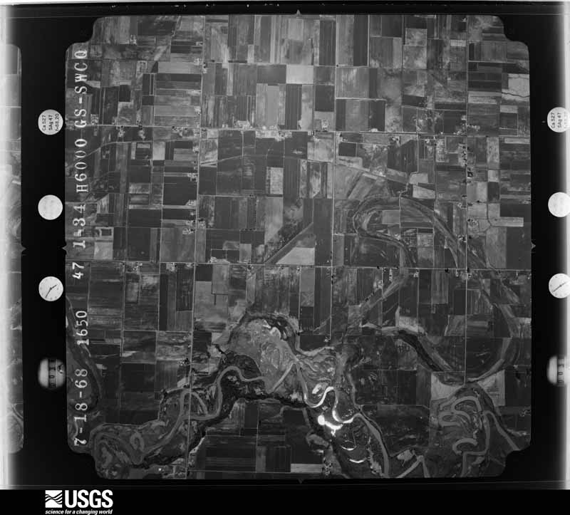
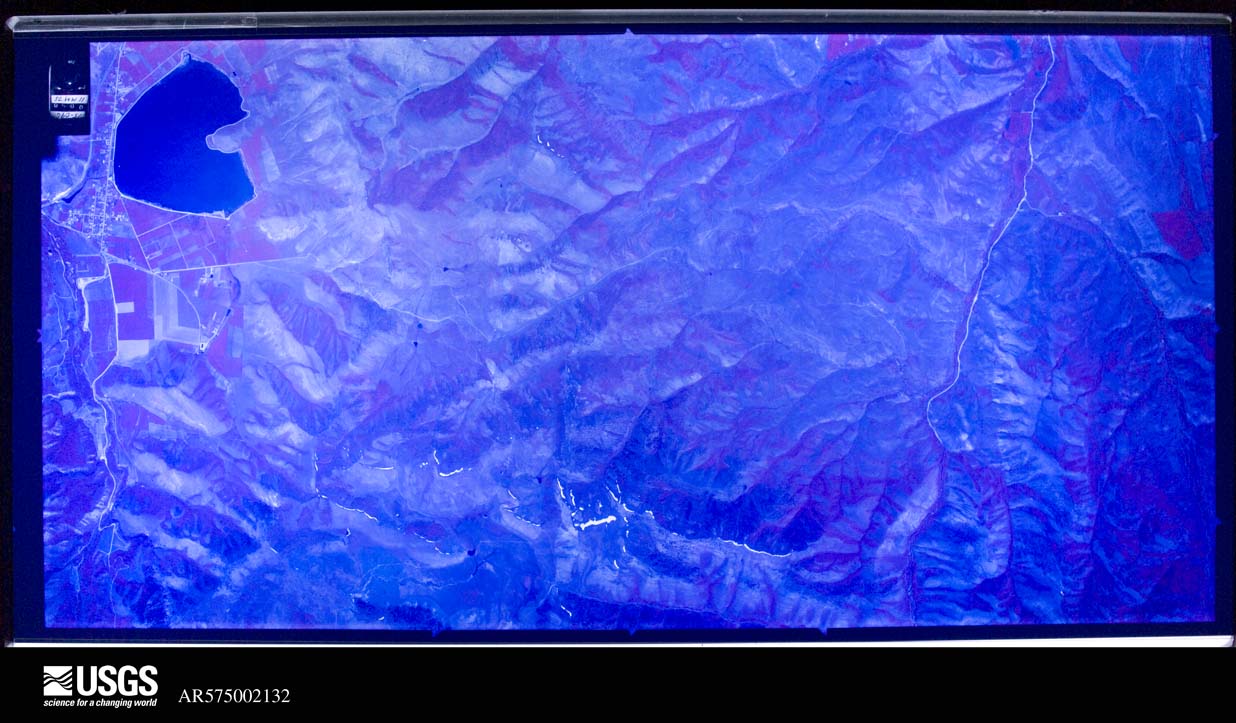
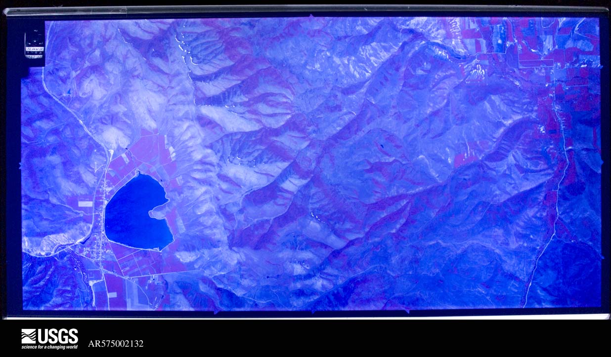
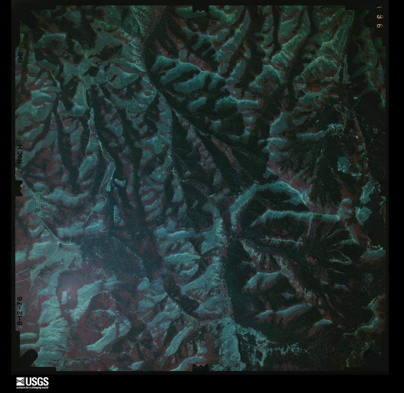
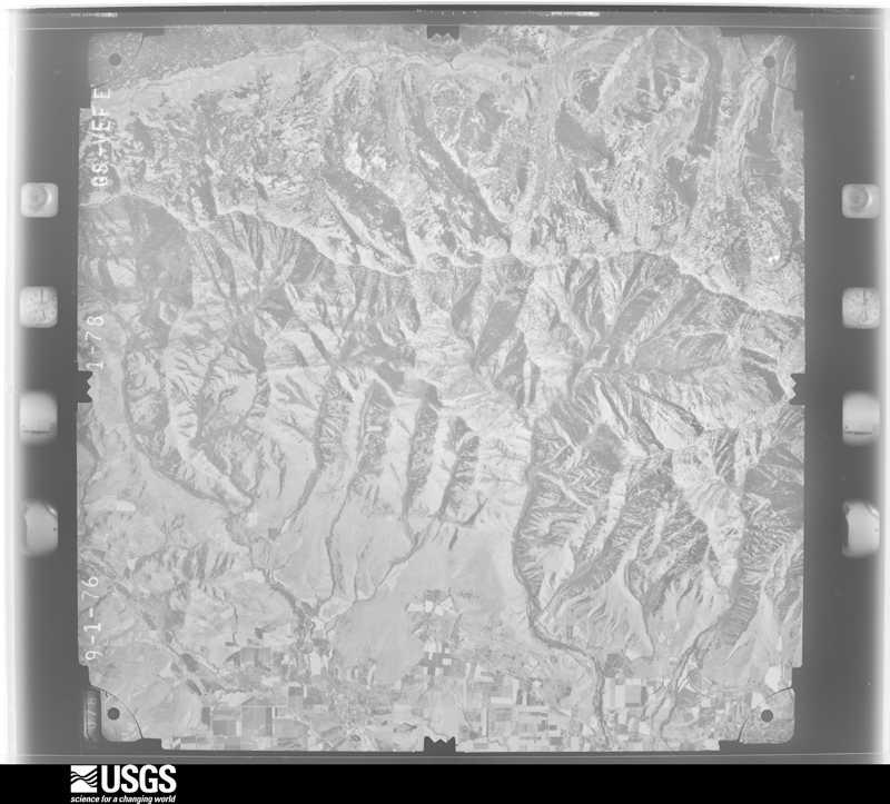
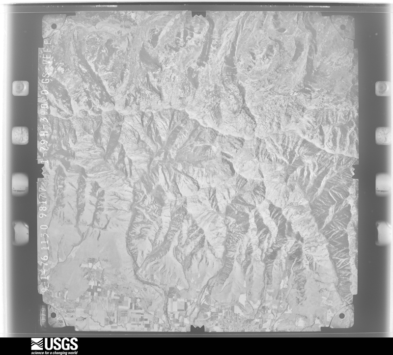
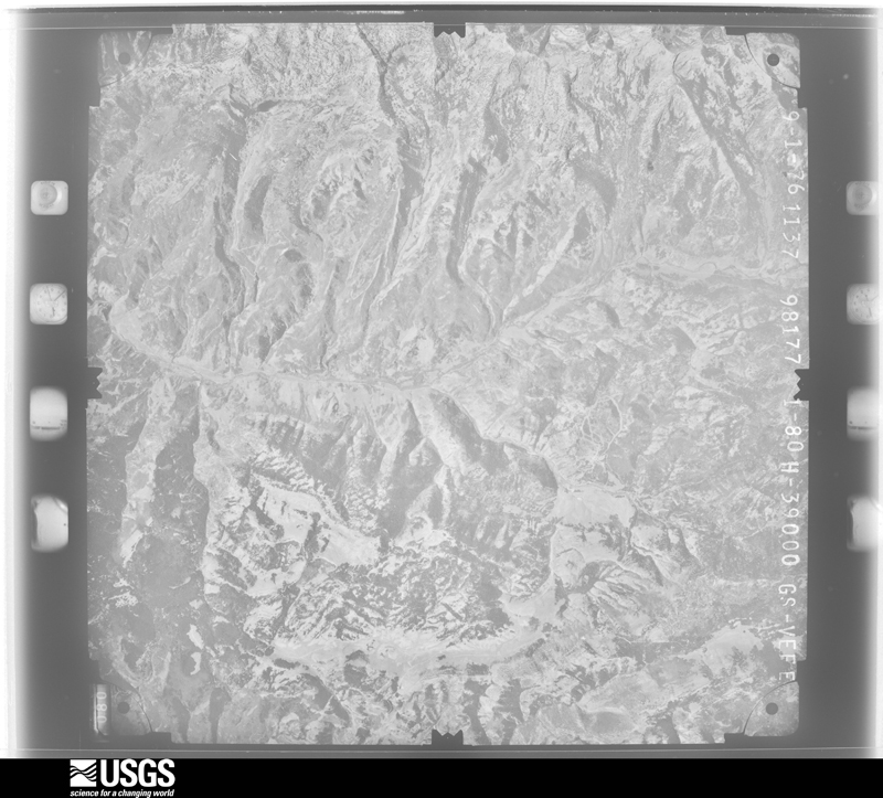
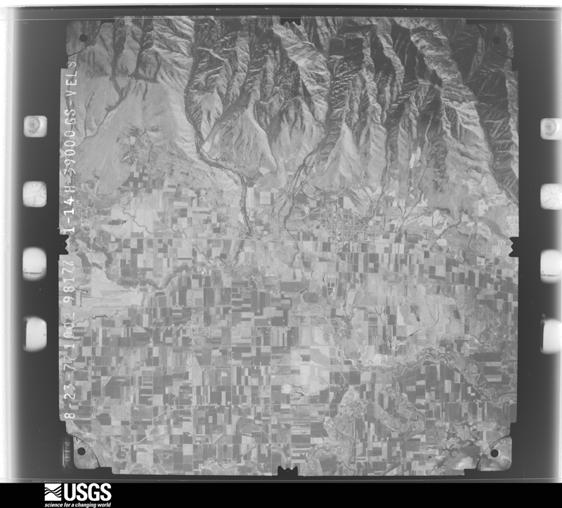
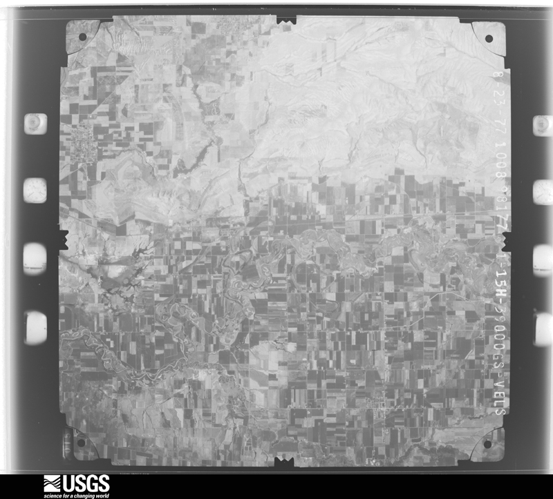
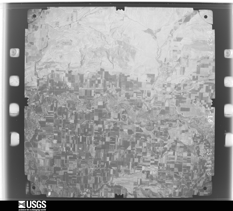
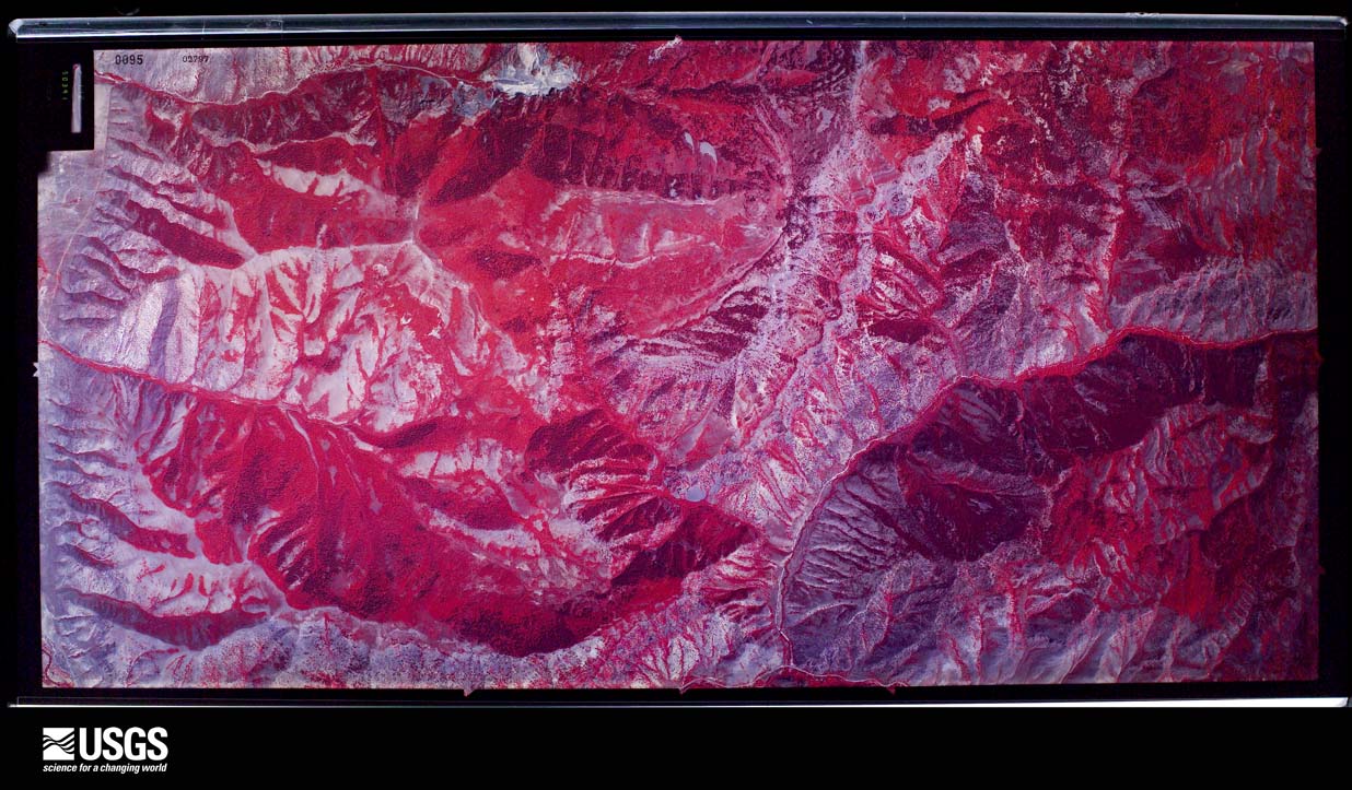
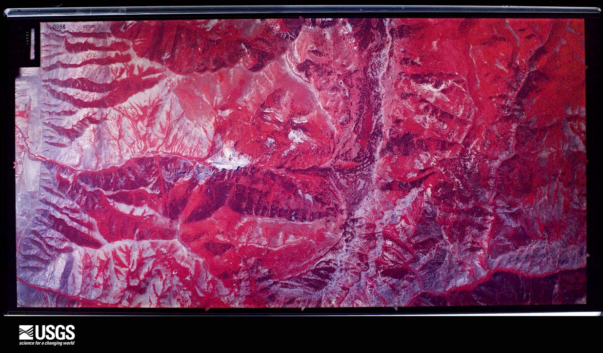
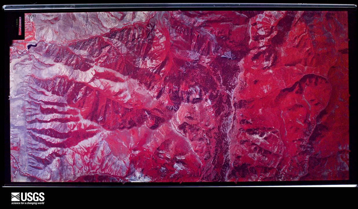
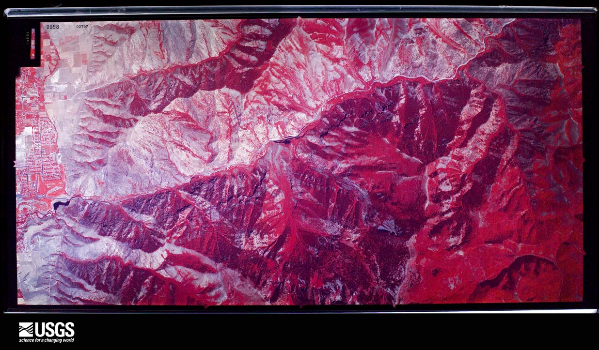
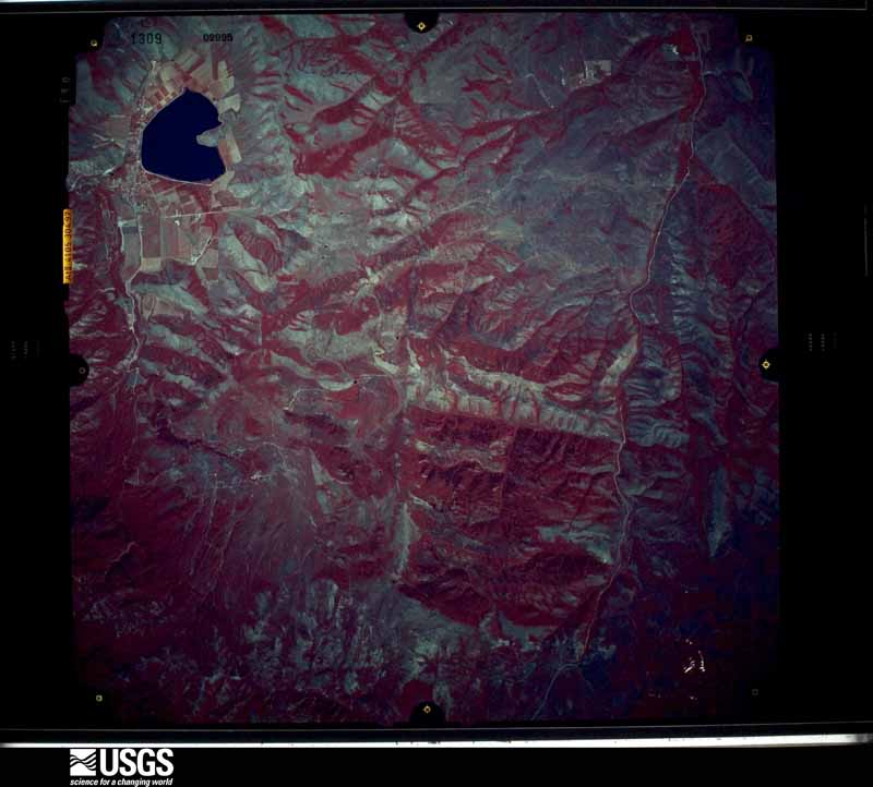
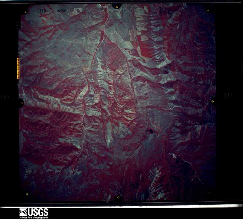
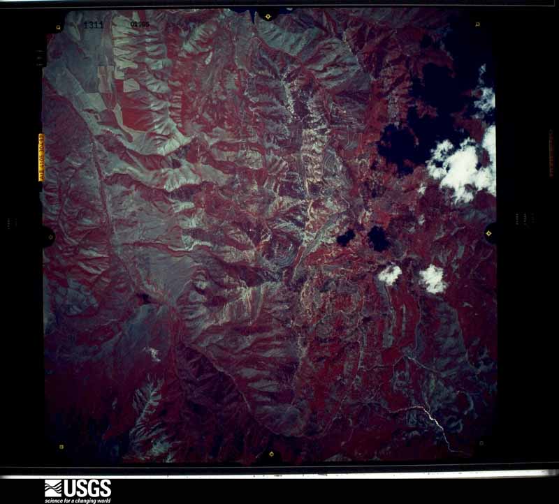
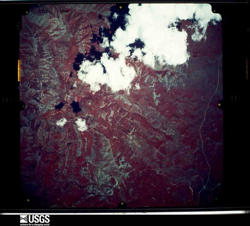
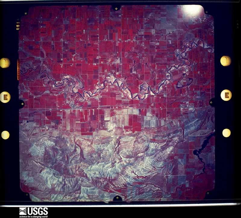
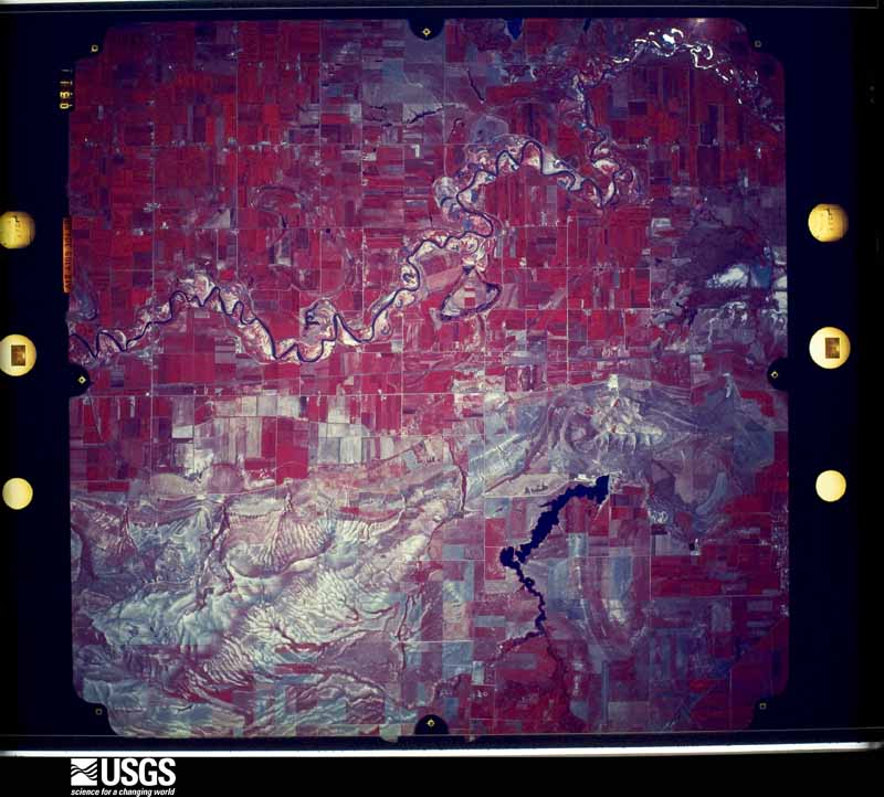
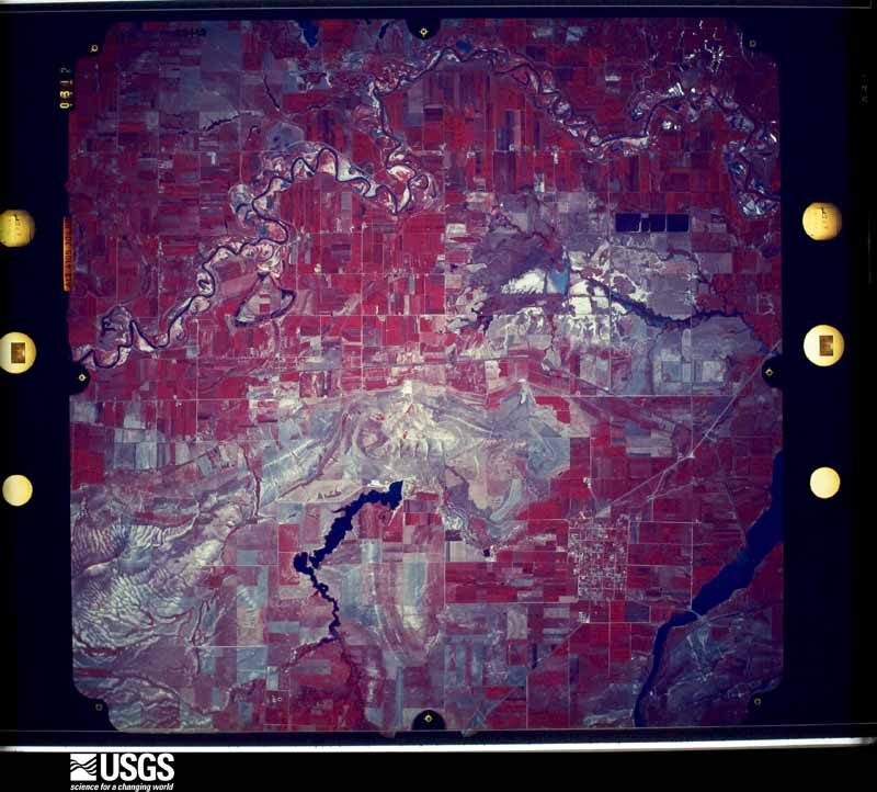
Flown by the U.S. Geological Survey between 1937 and 1989, the Aerial Photo Single Frames collection is the definitive mid-century view of the land: fields, roads and rivers as the camera saw them. The Survey holds 1,457 frames inside the rectangle that bounds this county; the 48 frames below were taken over the county itself, chosen across the decades of flights (at most four a year from that rectangle), so one flight cannot crowd out the rest. The full set is free to browse and download at EarthExplorer under the dataset Aerial Photo Single Frames.
The thermometers that kept this county's weather, and the gages that measured the flow of its streams, as the federal records hold them. The extremes below are measured values from those records, not estimates.
Who lived here in 1950, one enumeration district at a time, as the Census Bureau described each district. Each row opens its official National Archives result, with Population Schedules and ED Maps available there.
Every wildfire the federal occurrence database records inside this county: 644 of them, burning about 12,704 acres. 192 started naturally and 14 were recorded as arson. Each settlement page carries the fires within five miles of it.
| Reported cause | Fires |
|---|---|
| Natural | 192 |
| Recreation and ceremony | 153 |
| Missing data/not specified/undetermined | 150 |
| Debris and open burning | 53 |
| Equipment and vehicle use | 39 |
| Fireworks | 14 |
| Arson/incendiarism | 14 |
| Power generation/transmission/distribution | 13 |
| Misuse of fire by a minor | 7 |
| Smoking | 4 |
| Railroad operations and maintenance | 3 |
| Firearms and explosives use | 2 |
The five largest, by the area the report gives. None of them was recorded as arson.
| Date | Cause | Size | Reported by | Name on the report |
|---|---|---|---|---|
| 11 August 2013 | Natural | 2,200 acres | Utah Division Forestry Fire State Lands | MILLVILLE |
| 26 March 1997 | Missing data/not specified/undetermined | 1,500 acres | Utah Division Forestry Fire State Lands | DIRTY HEAT |
| 21 August 2016 | Recreation and ceremony | 1,242 acres | Uinta-Wasatch-Cache National Forest | PETERSON HOLLOW |
| 23 July 2007 | Natural | 890 acres | Utah Division Forestry Fire State Lands | SLEEPY HOLLOW |
| 16 August 1994 | Natural | 617 acres | Uinta-Wasatch-Cache National Forest | BEAVER MOUNTAIN |
| 18 July 1992 | Missing data/not specified/undetermined | 600 acres | Utah Division Forestry Fire State Lands | WHEELON PEAK |
| 28 July 2000 | Natural | 458 acres | Uinta-Wasatch-Cache National Forest | HIGH POINT |
| 9 August 2013 | Natural | 292 acres | Uinta-Wasatch-Cache National Forest | MOUNT ELMER |
Every settlement page carries the fires within five miles of it - see the settlement index below.
The NOAA Storm Events Database holds 113 reports for this county, causing no deaths, no injuries and about $5,571,560 in recorded property damage. Each settlement page carries the reports that name it.
| Kind of event | Reports |
|---|---|
| Thunderstorm Wind | 69 |
| Hail | 17 |
| Flood | 13 |
| Tornado | 5 |
| Funnel Cloud | 3 |
| Heavy Rain | 3 |
| Flash Flood | 3 |
The most serious of them, by death, then injury, then recorded damage. The accounts are quoted exactly as the forecast office filed them.
| When | Event | Place named | Harm | What the report says |
|---|---|---|---|---|
| February 2017 | Flood | Avon | $4,000,000 | Significant rainfall and snowmelt caused main stem river flooding along the Bear River, and also overwhelmed drainage systems away from the river across much of Cache County. Many roads were flooded and structurally compromised, with over $2.5 million worth of damage reported to roads alone. Debris and flood waters also caused significant damage to sewage and water control systems. Dozens of homes experienced basement flooding, particularly in Wellsville, Hyrum, and Mendon. |
| May 2011 | Flood | Nibley | $500,000 | The Blacksmith Fork River experienced flooding again in mid-May, peaking at 1434 cfs on May 16th, well above the flood flow of 934 cfs. Flooding was reported in Logan, Millville, and Hyrum. The bridge in Millville at 2900 South was washed out on both ends, and other low-lying bridges and roadways were impacted. The worst of the damage was at the Country Manor subdivision, where nine homes were flooded and evacuated. |
| June 2011 | Flood | Providence | $200,000 | The Logan River flooded again beginning in mid-June. The Logan River Golf Course and walking trail was partially closed when a breach in the river bank sent a large stream of water down the middle of the golf course. Damage occurred to a few low lying bridges, including the Millville Bridge and a railroad bridge in Logan. |
| January 2012 | Flood | Mendon | $100,000 | Heavy rainfall in the Cache Valley, combined with frozen ground and snowmelt, produced flooding in portions of Mendon and Wellsville. Culverts in those areas quickly became clogged with debris, and several homes reported basement flooding. State Route 23 was also closed for a period of time due to water flowing across the road. |
| June 2011 | Flood | River Hgts | $100,000 | The Logan River continued to flood through the end of June. This flooding damaged summer homes in the Birch Glen area, and continued to significantly impact the Logan River Golf Course. Note that this event continued into July. |
| June 2011 | Flood | Providence | $100,000 | Spring Creek near the town of Providence, Utah experienced flooding at the end of June. Most of the damage occurred when gravel clogged culverts along the creek, making the creek divert around the culverts, and causing damage to driveways and roads. At one point, flooding threatened houses, and a couple families were voluntarily evacuated. Throughout the event, a few houses along the creek experienced basement flooding. Note that this event continued into July. |
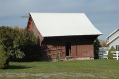
| April 2001 | Thunderstorm Wind | Trenton | $100,000 | Microburst wind gusts estimated at around 80mph (70kts) hit the Trenton and Smithfield areas during the evening hours. These winds ripped the metal roof off of an 88-foot hay barn and carried it for a block. Several trees were also blown over and power lines were blown down. |
| February 2017 | Thunderstorm Wind | Amalga | $60,000 | Thunderstorms along the cold front produced strong winds across the Cache Valley, with a peak recorded gust of 53 mph at the Logan-Cache Airport ASOS. Several damage reports were received across the valley, including nine power poles that were knocked down in Wellsville and two power poles that were knocked over in Amalga. In addition, a 50-foot tree was knocked over and fell onto a mobile home in Smithfield. |
| July 2011 | Thunderstorm Wind | Richmond | $55,000 | A large barn was knocked down in Richmond and several trees were reported down across the area. |
| May 2011 | Flood | River Hgts | $50,000 | The Blacksmith Fork River reached flood stage on May 8th, with a peak flow of 978 cfs, above the flood flow of 934 cfs. Several roads around Logan were flooded and closed, including areas near 600 West and Park Avenue, and areas near 1700 South and US Routes 89 and 91. In addition, areas around the town of Millville received minor flooding. |
| April 2011 | Flood | River Hgts | $50,000 | The worst affected area in Cache County was the Riverside RV Park on 1700 South in Logan, just across from the Country Manor neighborhood; the park was filled with water before crews could divert the water downstream. The area near State Route 89 at the south end of the town of Logan also experienced flooding. Flood waters also flowed over the Logan River Golf Course and along Park Avenue. |
| August 2003 | Thunderstorm Wind | Mendon | $50,000 | Severe thunderstorms blew through Cache County, snapping power poles and downing power lines in Mendon, and wrapping a large sprinkler line around a telephone pole in the Newton/Clarkston area. |
| August 2010 | Thunderstorm Wind | Richmond | $35,000 | Strong thunderstorm winds caused damage in Richmond, snapping trees and telephone poles. |
| June 2015 | Thunderstorm Wind | College Ward | $30,000 | Strong thunderstorm winds knocked down several large trees throughout the Cache Valley, including near the cities of Logan and Cornish. |
| July 2011 | Flood | Providence | $30,000 | Spring Creek near the town of Providence, Utah continued to experienced flooding through the beginning of July. Another clogged culvert along the creek washed out a road in early July, but otherwise additional damage was minimal as waters began to recede and impacts were further mitigated. Note that this event began in June. |
| January 1998 | Flood | Wellsville | $30,000 | no account filed |
| September 1989 | Tornado (F1) | not stated | $25,000 | no account filed |
| June 2017 | Flood | Richmond | $10,000 | The Logan River exceeded flood stage several times through the first two weeks of June, with the gauge near Logan peaking at 1450 cfs on the morning of June 6. The flooding resulted in the closure of multiple campgrounds and other recreation areas in Logan Canyon, but otherwise mitigation and sandbagging helped prevent further damages. |
| September 2016 | Thunderstorm Wind | Logan | $10,000 | Strong thunderstorm winds in Logan knocked over a tree that was a foot in diameter and approximately 50 feet tall. This tree fell onto a house and knocked out power in a 3 block radius. |
| July 2011 | Flood | Logan | $10,000 | The Logan River continued to flood into the beginning of July. This flooding continued to damage and cause the partial closure of the Logan River Golf Course, but otherwise the impacts were largely mitigated, and the waters receded quickly as the snow began to run out. Note that this event began in June. |
| September 1997 | Hail | Paradise | $10,000 | no account filed |
| May 2025 | Thunderstorm Wind | Smithfield | $5,000 | Public social media pictures showing large trees downed. |
| September 2015 | Thunderstorm Wind | Logan | $4,000 | A few medium sized trees were knocked down by strong thunderstorm winds near Logan, with one tree falling onto a car. |
| May 1998 | Thunderstorm Wind | Logan | $3,000 | no account filed |
| May 1987 | Tornado (F1) | not stated | $2,500 | no account filed |
| August 2024 | Thunderstorm Wind | Smithfield | $1,000 | Six inch diameter limbs were downed from strong winds in Smithfield. |
| June 2002 | Thunderstorm Wind | Smithfield | $1,000 | no account filed |
| August 1987 | Tornado (F0) | not stated | $30 | no account filed |
| May 1981 | Tornado (F1) | not stated | $30 | no account filed |
| April 2026 | Hail | River Hgts | - | Public reported 1.25 hail via MPING near Logan, UT. |
| April 2026 | Tornado (EF1) | Richmond | - | The tornado is estimated to have touched down at 2:25PM MT approximately 1 mile south of the Sink Rd./HWY 89 intersection in far northwestern Rich county. The tornado promptly produced EF-1 damage snapping a few softwood trees. The tornado continued tracking north along the terrain into Cache county, increasing in width and producing a notably wider swath of softwood tree damage consistent with an EF-1 rating. The tornado then took a slight turn to the northeast and slightly weakened, producing a few more instances of EF-1 damage to softwood trees before dissipating in far southern Cache county at around 2:27PM. The maximum width of this tornado was 100 yards with a path length of 0.44 miles. Special thanks to the Cache and Rich county emergency managers for the assistance getting to the damage location, and another special thanks to our local spotters for reporting the damage. |
| May 2025 | Thunderstorm Wind | (Lgu)Logan-Cache Arp | - | The Logan-Cache Airport ASOS (KLGU) recorded a wind gust of 59 mph as a result of outflow winds associated with a nearby cluster of decaying convective showers moving through the area. |
| May 2025 | Thunderstorm Wind | Wellsville | - | The Murray's Hill mesonet station recorded an initial strong wind gust of 59 mph at 4:50 pm MST, followed by a subsequent peak wind gust of 66 mph at 5:10 pm MST, and a final strong wind gust of 62 mph at 5:30 pm MST. More modest wind gusts in the 53 mph to 55 mph were recorded in between these observations. These wind gusts were the result of outflow winds associated with a nearby cluster of showers and thunderstorms moving through the area. |
| May 2025 | Thunderstorm Wind | Logan | - | The US-89 at USU mesonet station recorded a wind gust of 64 mph as a result of outflow winds associated with a nearby cluster of showers and thunderstorms moving through the area. |
| May 2025 | Thunderstorm Wind | Smithfield | - | The Crow Mountain mesonet station recorded an initial strong wind gust of 58 mph at 12:40 pm MST, followed by a subsequent peak wind gust of 68 mph at 1:20 pm MST, and a final strong gust of 67 mph at 1:30 pm MST. These wind gusts were the result of outflow winds associated with a nearby cluster of showers and thunderstorms moving through the area. |
| July 2025 | Thunderstorm Wind | Smithfield | - | The Crow Mountain mesonet station recorded a wind gust of 58 mph as a result of outflow winds associated with a nearby cluster of showers and thunderstorms moving through the area. |
| July 2025 | Thunderstorm Wind | Wellsville | - | The Murray's Hill mesonet station recorded a wind gust of 58 mph as a result of outflow winds associated with a nearby cluster of showers and thunderstorms moving through the area. |
| July 2024 | Thunderstorm Wind | Wellsville | - | The Murray's Hill mesonet station recorded a wind gust of 61 at 3:10 am MST, followed by a peak gust of 63 mph at 3:20 am MST. These gusts were the result of outflow winds associated with a nearby cluster of showers and thunderstorms moving through the area. |
| July 2024 | Thunderstorm Wind | Smithfield | - | The Crow Mountain mesonet station recorded a wind gust of 58 mph as a result of outflow winds associated with a nearby cluster of showers and thunderstorms moving through the area. |
| March 2024 | Thunderstorm Wind | Smithfield | - | The Crow Mountain mesonet station recorded a wind gust of 77 mph as a result of a convective section of a cold frontal boundary advancing through the area. |
| March 2024 | Thunderstorm Wind | Wellsville | - | The Murray's Hill mesonet station recorded a wind gust of 70 mph as a result of a convective section of a cold frontal boundary advancing through the area. |
| September 2024 | Thunderstorm Wind | Hills | - | The US-91 at MP 20 Wellsville mesonet station recorded a wind gust of 61 mph as a result of outflow winds associated with a nearby cluster of showers and thunderstorms moving through the area. |
| September 2024 | Thunderstorm Wind | Wellsville | - | The Sherwood Hills mesonet station recorded a wind gust of 63 mph as a result of outflow winds associated with a nearby cluster of showers and thunderstorms moving through the area. |
| August 2024 | Thunderstorm Wind | Smithfield | - | A wind gust of 74 mph was recorded at the Crow Mountain mesonet site. |
| August 2024 | Thunderstorm Wind | (Lgu)Logan-Cache Arp | - | A wind gust of 60 mph was recorded at the Logan-Cache Airport ASOS. |
| August 2024 | Thunderstorm Wind | Richmond | - | A wind gust of 63 mph was recorded at the Peter Sinks Rim mesonet site. |
| September 2023 | Thunderstorm Wind | (Lgu)Logan-Cache Arp | - | The LOGAN CAMPBELL HDQ mesonet station recorded a wind gust of 63 mph as a result of outflow winds associated with a nearby cluster of showers and thunderstorms moving through the area. |
| September 2023 | Thunderstorm Wind | Logan | - | The US-89 at USU mesonet station recorded a wind gust of 59 mph as a result of outflow winds associated with a nearby cluster of showers and thunderstorms moving through the area. |
| September 2023 | Thunderstorm Wind | (Lgu)Logan-Cache Arp | - | The Logan-Cache Airport ASOS recorded a period of wind gusts to 60 mph as a result of outflow winds associated with a nearby cluster of showers and thunderstorms moving through the area. |
| July 2023 | Thunderstorm Wind | Smithfield | - | The Crow Mountain mesonet station recorded a wind gust of 62 mph as a result of outflow winds associated with a nearby cluster of showers and thunderstorms moving through the area. |
| June 2023 | Thunderstorm Wind | Wellsville | - | A wind gust of 61 mph was recorded at the Murray's Hill mesonet site. |
| June 2023 | Thunderstorm Wind | Ballard Jct | - | A wind gust of 61 mph was recorded at the SR-30 mesonet site. |
| September 2023 | Thunderstorm Wind | Hills | - | The US-91 at MP 20 Wellsville mesonet station recorded a wind gust of 58 mph as a result of outflow winds associated with a nearby cluster of showers and thunderstorms moving through the area. |
| June 2023 | Thunderstorm Wind | Ballard Jct | - | A wind gust of 62 mph was recorded at the SR-30 mesonet site. |
| July 2023 | Thunderstorm Wind | Wellsville | - | The Murray's Hill mesonet station recorded a wind gust of 73 mph as a result of outflow winds associated with a nearby cluster of showers and thunderstorms moving through the area. |
| July 2022 | Thunderstorm Wind | Smithfield | - | The PacifiCorp Crow Mountain mesnonet station measured a wind gust of 59 mph at 8:10 pm MST as a result of nearby thunderstorms. |
| September 2022 | Thunderstorm Wind | Wellsville | - | The Murray's Hill weather station recorded a wind gust of 58 mph as a result of outflow winds associated with a nearby cluster of showers and thunderstorms moving through the area. |
| September 2022 | Thunderstorm Wind | Providence | - | The Logan Peak weather station recorded an initial peak wind gust of 63 mph at 9:00 pm MST as a result of a thunderstorm and associated outflow winds moving over the site. A second thunderstorm an hour later resulted in a wind gust of 58 mph at 10:00 pm MST. |
| May 2021 | Hail | River Hgts | - | Quarter-sized hail fell near Logan. |
| June 2019 | Thunderstorm Wind | Logan | - | Several trees were downed. |
The Survey's mineral resources record lists 142 workings inside this county. 32 still produce and 110 are closed or unrecorded. Each settlement page carries the workings within five miles of it.
| Commodity | Workings |
|---|---|
| Sand and Gravel, Construction | 83 |
| Iron | 12 |
| Lead | 9 |
| Calcium | 5 |
| Stone, Dimension | 4 |
| Copper | 4 |
| Stone, Crushed/Broken | 4 |
| Limestone, General | 4 |
| Manganese | 3 |
| Zinc | 3 |
| Zinc, Lead | 2 |
| Lead, Silver, Copper | 2 |
| Lead, Copper, Silver | 2 |
| Phosphorus-Phosphates | 2 |
The least common of them first, because a county's hundredth gravel pit says nothing its first ten did not.
| Where | Site | Commodity | Status | Recorded |
|---|---|---|---|---|
| Amazon Mine | Lead, Copper, Silver, Zinc, Barium-Barite | Past Producer | Enargite, Galena, Malachite, Smithsonite, Sphalerite | |
| Amazon Mine | Zinc, Silver, Lead, Copper | Past Producer | Underground | |
| Cedar and Copper Lodes | Gold, Copper, Silver | Producer | Replacement | |
| Crystal Madsens Hot Springs | Geothermal | Unknown | ||
| Green Canyon Quarry No 2 | Stone | Past Producer | ||
| Hoffman Claims | Dolomite | Occurrence | Dolomite | |
| Hyrum Canyon Claim | Lead, Zinc, Iron | Past Producer | ||
| Keystone | Lead, Copper | Occurrence | Replacement | |
| La Plata | Copper, Lead, Silver | Past Producer | Underground | |
| Lead King | Silver, Lead | Occurrence | Replacement | |
| Lucky Star Group | Zinc, Silver, Lead | Past Producer | Underground | |
| Lucky Star Mine | Lead, Silver, Zinc | Past Producer | Galena, Smithsonite, Sphalerite | |
| Major Metals Mining Co. | Lead, Zinc | Occurrence | Replacement | |
| Mineral Point Copper Co. Mine | Silver, Gold, Iron, Copper | Occurrence | Surface/Underground | |
| Moon Mine | Zinc, Lead, Iron, Silver, Copper, Gold | Past Producer | 1915 | |
| Moon Mine | Zinc, Silver, Lead, Iron, Gold, Copper | Past Producer | ||
| Amazon Hollow Claim No 1 | Lead, Silver, Copper | Past Producer | ||
| Amazon Hollow Claim No 2 | Lead, Silver, Copper | Past Producer | ||
| Amazon Hollow Claim No. 1 | Lead, Silver, Copper | Occurrence | Surface/Underground | |
| Amazon Hollow Claim No. 2 | Lead, Silver, Copper | Occurrence | ||
| Egan Claim | Lead, Iron, Barium-Barite | Occurrence | Barite, Galena, Pyrite, Siderite | |
| Egan Claim | Lead, Iron, Barium-Barite | Past Producer | ||
| Hyrum Canyon Claim | Iron, Zinc, Lead | Occurrence | Galena, Jarosite, Marcasite, Siderite, Sphalerite | |
| La Plata Claims | Lead, Copper, Silver | Past Producer | Galena, Malachite, Silver | |
| Phosphate Deposit | Phosphorus-Phosphates | Occurrence | ||
| Phosphate Deposit | Phosphorus-Phosphates | Past Producer | ||
| Helen Manganese Mine | Manganese | Occurrence | ||
| Pig Hole Hollow | Manganese | Past Producer | ||
| Pig Hole Hollow Occurrence | Manganese | Occurrence | ||
| Blue Bell Mine | Copper, Iron | Past Producer | ||
| Bluebell Mine | Copper, Iron | Past Producer | Malachite | |
| Cinnamon Creek Prospect | Limestone, General | Occurrence | Calcite | |
| Cinnamon Creek Prospect | Stone, Crushed/Broken | Past Producer | ||
| Green Canyon Quarry No 1 | Stone, Dimension | Past Producer | ||
| Green Canyon Quarry No 2 | Stone, Dimension | Past Producer | Surface | |
| Green Canyon Quarry No. 1 | Stone, Dimension | Past Producer | Surface | |
| Hardware Ranch Quarry | Stone, Crushed/Broken | Past Producer | Surface | |
| Hardware Ranch Quarry | Stone, Dimension | Past Producer | ||
| Providence Quarry | Limestone, General | Past Producer | Surface | |
| Providence Quarry | Stone, Crushed/Broken | Producer | ||
| Smithfield Canyon Claim | Copper | Occurrence | Malachite | |
| Smithfield Canyon Claim | Copper | Past Producer | ||
| Unknown | Limestone, General | Producer | ||
| Unknown Limestone Pit | Limestone, General | Past Producer | Surface | |
| Unknown Limestone Pit | Stone, Crushed/Broken | Past Producer | ||
| Honey Bee Mine | Iron, Calcium | Past Producer | ||
| Honey Bee Prospect | Calcium, Iron | Occurrence | Calcite, Hematite, Limonite | |
| La Var A. Mohr | Calcium | Occurrence | Placer | |
| Norman Peterson | Calcium | Occurrence | Placer | |
| Theron M. Campbell | Calcium | Occurrence | Placer | |
| Emmett Mining and Milling | Lead | Occurrence | Galena, Smithsonite, Sphalerite | |
| Left Fork City Creek | Lead, Iron | Past Producer | ||
| Left Fork City Creek Prospect | Lead, Iron | Occurrence | Galena, Pyrite, Siderite | |
| Red Jacket | Lead | Occurrence | Galena | |
| Deadman Gulch Prospects | Iron | Occurrence | Replacement | |
| Deadman Gulch Prospects | Iron | Past Producer | ||
| Mineral Point Iron Mine | Iron | Past Producer | 1875 | |
| Mineral Point Mine | Iron | Past Producer | Underground | |
| Smith Creek Claim | Iron | Occurrence | Limonite | |
| Cache Concrete Co Pit | Sand and Gravel, Construction | Past Producer | ||
| Cache Concrete Co. Pit | Sand and Gravel, Construction | Past Producer | Surface | |
| Cherty Creek Pit | Sand and Gravel, Construction | Past Producer | Surface | |
| Cherty Creek Pit | Sand and Gravel, Construction | Past Producer | ||
| Chugg Pit | Sand and Gravel, Construction | Past Producer | 1960 | |
| Chugg Pit | Sand and Gravel, Construction | Past Producer | ||
| Garetts Hollow Pit | Sand and Gravel, Construction | Past Producer | ||
| Garrett's Hollow Pit | Sand and Gravel, Construction | Past Producer | Surface | |
| High Creek Pit No 1 | Sand and Gravel, Construction | Past Producer | ||
| High Creek Pit No. 1 | Sand and Gravel, Construction | Past Producer | Surface | |
| Highway Department Pit No 3024 | Sand and Gravel, Construction | Past Producer | ||
| Highway Dept 3018 | Sand and Gravel, Construction | Producer | ||
| Highway Dept No 3023 | Sand and Gravel, Construction | Producer | ||
| Highway Dept No 3025 | Sand and Gravel, Construction | Past Producer | ||
| Highway Dept No 3031 | Sand and Gravel, Construction | Past Producer | ||
| Highway Dept Pit | Sand and Gravel, Construction | Producer | ||
| Highway Dept Pit No 3017 | Sand and Gravel, Construction | Past Producer | ||
| Highway Dept Pit No 3026 | Sand and Gravel, Construction | Past Producer | ||
| Mantua Pit No 1 | Sand and Gravel, Construction | Past Producer | ||
| McKenzie Flat Pit | Sand and Gravel, Construction | Past Producer | Surface | |
| McKenzie Flat Pit | Sand and Gravel, Construction | Past Producer | ||
| Mendon Pit No 1 | Sand and Gravel, Construction | Past Producer | ||
| Mendon Pit No. 1 | Sand and Gravel, Construction | Past Producer | Surface | |
| North Logan Pit No 1 | Sand and Gravel, Construction | Producer | Surface | |
| North Logan Pit No 1 | Sand and Gravel, Construction | Producer | ||
| North Logan Pit No 2 | Sand and Gravel, Construction | Producer | ||
| North Logan Pit No 3 | Sand and Gravel, Construction | Producer | ||
| North Logan Pit No 4 | Sand and Gravel, Construction | Past Producer | Surface | |
| North Logan Pit No 4 | Sand and Gravel, Construction | Past Producer | ||
| North Logan Pit No. 2 | Sand and Gravel, Construction | Producer | Surface | |
| North Logan Pit No. 3 | Sand and Gravel, Construction | Producer | Surface | |
| North Paradise Pit | Sand and Gravel, Construction | Past Producer | Surface | |
| North Paradise Pit | Sand and Gravel, Construction | Past Producer | ||
| Parson's Ready Mix Pit | Sand and Gravel, Construction | Producer | ||
| Parsons Ready Mix Pit | Sand and Gravel, Construction | Producer | ||
| Selman Reservoir Pit | Sand and Gravel, Construction | Past Producer | Surface | |
| Selman Reservoir Pit | Sand and Gravel, Construction | Past Producer | ||
| State Highway Dept No 3009 | Sand and Gravel, Construction | Past Producer | ||
| Trenton Gravel Pit # 3 | Sand and Gravel, Construction | Past Producer | ||
| Trenton Gravel Pit #3 | Sand and Gravel, Construction | Past Producer | Unconsolidated Sediments | |
| Unknown | Sand and Gravel, Construction | Occurrence | ||
| Unknown | Sand and Gravel, Construction | Occurrence | ||
| Unknown | Sand and Gravel, Construction | Occurrence | ||
| Unknown | Sand and Gravel, Construction | Occurrence | ||
| Unknown | Sand and Gravel, Construction | Occurrence | ||
| Unknown | Sand and Gravel, Construction | Occurrence | ||
| Unknown Gravel Pit | Sand and Gravel, Construction | Past Producer | Surface | |
| Unknown Gravel Pit | Sand and Gravel, Construction | Past Producer | ||
| Unknown Pit | Sand and Gravel, Construction | Past Producer | Surface | |
| Unknown Pit | Sand and Gravel, Construction | Past Producer | ||
| Ut Dept of Highways No 29033 | Sand and Gravel, Construction | Past Producer | ||
| Ut Dept of Highways No 29034 | Sand and Gravel, Construction | Past Producer | ||
| Ut Dept of Highways Pit # 03006 | Sand and Gravel, Construction | Past Producer | ||
| Ut Dept of Highways Pit No 17028 | Sand and Gravel, Construction | Producer | ||
| Ut Dept of Highways Pit No. 03031 | Sand and Gravel, Construction | Past Producer | Surface | |
| Ut Dept of Hwys Pit No 17028 | Sand and Gravel, Construction | Past Producer | Unconsolidated Sediments | |
| Ut Dept of Hwys Rejected Pit # 03a | Sand and Gravel, Construction | Producer | ||
| Ut. Dept of Highways No 03018 Pit | Sand and Gravel, Construction | Producer | Surface | |
| Ut. Dept of Highways Pit No. 03011 | Sand and Gravel, Construction | Producer | ||
| Ut. Dept of Highways Pit No. 03023 | Sand and Gravel, Construction | Producer | Surface | |
| Ut. Dept. of Highways Pit No 03012 | Sand and Gravel, Construction | Producer | Surface | |
| Ut. Dept. of Highways Pit No 03017 | Sand and Gravel, Construction | Past Producer | Surface | |
| Ut. Dept. of Highways Pit No. 03009 | Sand and Gravel, Construction | Past Producer | Surface | |
| Ut. Dept. of Highways Pit No. 03025 | Sand and Gravel, Construction | Past Producer | Surface | |
| Ut. Dept. of Highways Pit No. 03026 | Sand and Gravel, Construction | Past Producer | Surface | |
| Utah Dept of Highways No 03008 | Sand and Gravel, Construction | Producer | ||
| Utah Dept of Highways Pit # 03003 | Sand and Gravel, Construction | Producer | ||
| Utah Dept of Highways Pit # 03004 | Sand and Gravel, Construction | Producer | ||
| Utah Dept of Highways Pit # 03005 | Sand and Gravel, Construction | Producer | ||
| Utah Dept of Highways Pit #03004 | Sand and Gravel, Construction | Producer | Unconsolidated Sediments | |
| Utah Dept of Highways Pit No 03002 | Sand and Gravel, Construction | Producer | ||
| Utah Dept of Highways Pit No 03024 | Sand and Gravel, Construction | Producer | Surface | |
| Utah Dept of Hwys Borrow Pit #03007 | Sand and Gravel, Construction | Past Producer | ||
| Utah Dept. of Highways Borrow Pit #03007 | Sand and Gravel, Construction | Past Producer | Unconsolidated Sediments | |
| Utah Dept. of Highways Pit #03002 | Sand and Gravel, Construction | Producer | Unconsolidated Sediments | |
| Utah Dept. of Highways Pit #03003 | Sand and Gravel, Construction | Past Producer | Unconsolidated Sediments | |
| Utah Dept. of Highways Pit #03005 | Sand and Gravel, Construction | Producer | Unconsolidated Sediments | |
| Utah Dept. of Highways Pit #03006 | Sand and Gravel, Construction | Past Producer | Unconsolidated Sediments | |
| Utah Dept. of Highways Pit No. 03008 | Sand and Gravel, Construction | Producer | Surface | |
| Utah Dept. of Highways Rejected Pit #03-A | Sand and Gravel, Construction | Producer | Unconsolidated Sediments | |
| Utah Highway Dept No 3011 | Sand and Gravel, Construction | Producer | ||
| Utah Highway Dept No 3012 | Sand and Gravel, Construction | Past Producer | ||
| Utah Highway Dept No 3033 | Sand and Gravel, Construction | Past Producer |
The part of each published history that is about one town: 2 chapters, each reproduced complete.
| Town | Chapter | From | Length |
|---|---|---|---|
| Logan | Cache County, the Eden of Utah : an Inland Empire, Abounding in Natura | Cache County, the Eden of Utah : an Inland Empire, Abounding in Natural Wealth and Unusual Opportunities. One of the West's Most Fertile Spots. A Land Offering Inducements to Both Farmer and Manufacturer (1916) | 9,473 words |
| Smithfield | Cache County, the Eden of Utah : an Inland Empire, Abounding in Natura | Cache County, the Eden of Utah : an Inland Empire, Abounding in Natural Wealth and Unusual Opportunities. One of the West's Most Fertile Spots. A Land Offering Inducements to Both Farmer and Manufacturer (1916) | 2,464 words |
Named settlements recorded in the Geographic Names Information System, each with the topographic sheets covering it. Villages, hamlets and abandoned places alike. Each is shown with the nearest named watercourse or landform and the survey quadrangle it falls on. The 5 places that were also surveyed for fire insurance come first, with the number of atlases and photographs held for them.
Hyrum census division · 84319 · Logan quadrangle
17 sheets, 1914 to 1998
Fire insurance: 2 atlases
Lewiston census division · 84320 · On Worm Creek · Richmond quadrangle
15 sheets, 1914 to 1998
Fire insurance: 2 atlases
Logan census division · 84321 · Logan quadrangle
17 sheets, 1914 to 1998
Fire insurance: 6 atlases
Smithfield census division · 84335 · Near Birch Canyon · Smithfield quadrangle
18 sheets, 1914 to 1998
Fire insurance: 2 atlases
Wellsville census division · 84339 · Near Wide Canyon · Wellsville quadrangle
17 sheets, 1914 to 1998
Fire insurance: 2 atlases
Hyrum census division · 84328 · Near Paradise Dry Canyon · Paradise quadrangle
18 sheets, 1914 to 1998
Smithfield census division · 84325 · By Black Rock · Newton quadrangle
16 sheets, 1914 to 1984
East Cache census division · 84321 · Near Beirdneau Hollow · Mount Elmer quadrangle
17 sheets, 1914 to 1998
East Cache census division · 84321 · Near Cottonwood Canyon · Temple Peak quadrangle
17 sheets, 1914 to 1998
Smithfield census division · 84304 · On The Slough · Cutler Dam quadrangle
10 sheets, 1954 to 1998
East Cache census division · 84321 · Near Powder Hollow · Mount Elmer quadrangle
17 sheets, 1914 to 1998
Lewiston census division · 84305 · On Myler Creek · Clarkston quadrangle
10 sheets, 1954 to 1989
Lewiston census division · 84320 · On Spring Creek · Richmond quadrangle
15 sheets, 1914 to 1998
Wellsville census division · 84325 · Near Bird Canyon · Wellsville quadrangle
17 sheets, 1914 to 1998
Logan census division · 84321 · In Millville Canyon · Logan quadrangle
17 sheets, 1914 to 1998
Lewiston census division · 84338 · Near Pullum Hollow · Trenton quadrangle
15 sheets, 1914 to 1984
Wellsville census division · 84339 · Near Garretts Hollow · Mount Pisgah quadrangle
19 sheets, 1914 to 1998
Smithfield census division · 84327 · On The Slough · Newton quadrangle
16 sheets, 1914 to 1984
Logan census division · 84321 · Near Millville Canyon · Logan quadrangle
17 sheets, 1914 to 1998
Logan census division · 84341 · Near Green Canyon · Smithfield quadrangle
18 sheets, 1914 to 1998
Hyrum census division · 84328 · Near McMurdie Hollow · Paradise quadrangle
18 sheets, 1914 to 1998
East Cache census division · 84321 · Near Powder Hollow · Mount Elmer quadrangle
17 sheets, 1914 to 1998
Logan census division · 84321 · Near Elbow Hollow · Logan quadrangle
17 sheets, 1914 to 1998
Logan census division · 84335 · Near The Island · Newton quadrangle
16 sheets, 1914 to 1984
Lewiston census division · 84338 · Near Ransom Hollow · Trenton quadrangle
15 sheets, 1914 to 1984
Smithfield census division · 84335 · Smithfield quadrangle
18 sheets, 1914 to 1998
17 topographic sheets and 6 fire insurance atlases, 1885 to 1948
18 topographic sheets and 2 fire insurance atlases, 1917 to 1929
17 topographic sheets and 2 fire insurance atlases, 1917 to 1929
The complete index, with nothing left out. Each of these is a separate record with its own page: a federal survey report, or the case file that argued a property on to the National Register. Both are public domain and reproduced word for word.