 Block
Mohrland, Utah
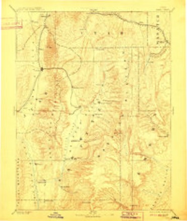
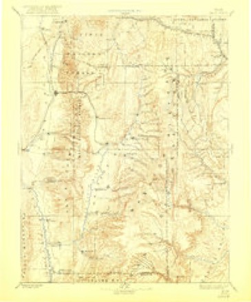
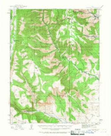
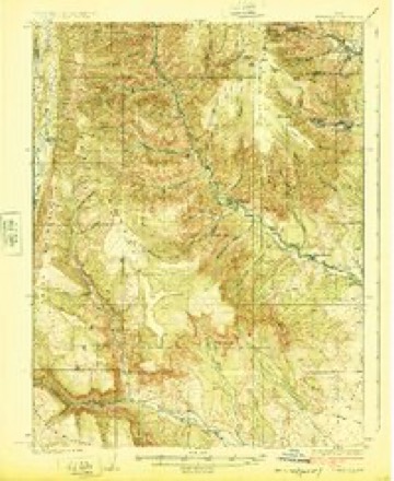
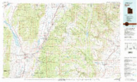
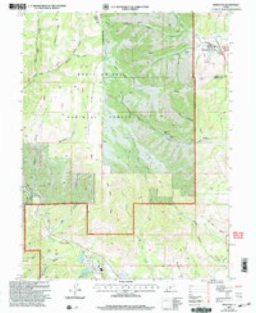
20 topographic sheets cover this place, the earliest surveyed in 1885 and the latest in 2001. It stands in the Castle Dale-Huntington census division. It lies in ZIP code area 84528. It lies near Ben Johnson Canyon. The Survey maps it on the Hiawatha quadrangle. It stands 7,185 feet above sea level.
Research this city
Topographic sheets covering this place
10 surveys from 20 printed sheetsMatched by testing this settlement's coordinate against the published boundary of every sheet in the United States Geological Survey's historical collection. Each opens the scanned sheet at the Survey.
- 1885 USGS Manti quadrangle1:250000, 4 printings
- 1895 USGS Manti quadrangle1:250000
- 1923 USGS Hiawatha quadrangle1:62500, 4 printings
- 1925 USGS Hiawatha quadrangle1:62500
- 1956 USGS Price quadrangle1:250000, 3 printings
- 1960 USGS Price quadrangle1:250000, 2 printings
- 1962 USGS Price quadrangle1:250000
- 1978 USGS Hiawatha quadrangle1:24000
- 1981 USGS Manti quadrangle1:100000, 2 printings
- 2001 USGS Hiawatha quadrangle1:24000
Fires near this place
29 since 1992Regional context, not property-specific evidence. The federal wildfire occurrence database lists 29 fires within 5 miles of Mohrland between 1992 and 2016, burning about 13 acres in total. 21 started naturally. None was recorded as arson. Distance is straight-line from the map coordinates, so a fire counted here may appear on a neighbouring settlement's page as well.
| Reported cause | Fires |
|---|---|
| Natural | 21 |
| Missing data/not specified/undetermined | 6 |
| Recreation and ceremony | 1 |
| Other causes | 1 |
The most recent of them, most recent first, with the day each was reported and the service that recorded it.
| Date | Cause | Size | Reported by | Name on the report |
|---|---|---|---|---|
| 5 September 2007 | Natural | under an acre | Utah Division Forestry Fire State Lands | POWERPLANT |
| 26 September 1994 | Missing data/not specified/undetermined | under an acre | Utah Division Forestry Fire State Lands | POWER LINE |
| 12 September 2013 | Natural | under an acre | Manti-Lasal National Forest | WILDHORSE |
| 9 August 2014 | Natural | under an acre | Moab Field Office | NELSON GRAVEL PIT |
| 8 August 2001 | Natural | under an acre | Moab Field Office | SPOILED |
| 5 August 2009 | Natural | under an acre | Moab Field Office | WATTIS |
| 24 August 2006 | Natural | under an acre | Moab Field Office | WILD HORSE |
| 23 August 2006 | Natural | under an acre | Utah Division Forestry Fire State Lands | WILDHORSE |
Storms near this place
25 since 2012Regional context, not property-specific evidence. The National Weather Service names Mohrland in 25 storm reports between 2012 and 2024: 16 flash flood, 6 debris flow, 2 thunderstorm wind, 1 hail. The reports record 1 death and 1 injury. Each account below is quoted exactly as the forecast office filed it, from the NOAA Storm Events Database, and each date opens the federal record of that event.
| When | Event | Place named | Harm | What the report says |
|---|---|---|---|---|
| August 2021 | Flash Flood | Mohrland | 1 killed, 1 hurt, $1,000,000 | A significant flood wave carrying debris moved down Bear Creek Canyon, sweeping away mining vehicles at the Gentry Mountain Mine. Several miners were caught in the flood waters, with one miner able to save himself by clinging to a tree a quarter mile down the drainage. Another miner was not able to escape the flood waters and was found deceased 6 miles downstream. Another Mine car was flipped 8 times in the flood waters, but the miners were able to kick out the windows and escape. Significant infrastructure damage occurred at the Mine. |
| July 2013 | Debris Flow | Mohrland | $50,000 | Heavy rain resulted in a large debris flow off the Seeley Fire burn scar, covering a 10-mile stretch of State Route 31 in water, mud, and debris. This flow caused extensive damage and undercutting in the Horse Canyon area, near milepost 31. |
| August 2012 | Flash Flood | Mohrland | $50,000 | After approximately 1.25 inches of rainfall, a very large debris flow occurred on the Seeley Burn Scar. Debris flowed over State Route 31, causing significant damage to a 1/4 mile stretch of the road, as well as a nearby bridge. Debris of up to 3 feet in height was spread over about a mile of the roadway. State Route 31 was closed for over a week, as crews repaired the road damage and cleared boulders and other debris off the roadway. The debris flow also pushed a UDOT front loader off the road and into a ditch, partially covering it with debris. |
| September 2012 | Flash Flood | Mohrland | $50,000 | Heavy rain over the Seeley burn scar caused yet another debris flow in the area. The flooding originated from Pole and Engineer Canyons, and caused damage along State Route 31. Car-sized boulders were deposited on State Route 31 at the base of Pole Canyon. |
| August 2014 | Flash Flood | Mohrland | $15,000 | Heavy rain over the Seeley burn scar caused flooding in Hughes Canyon and near Electric Lake in Upper Huntington Canyon. Flooding was reported in the lower portion of Huntington Canyon as well, with mud and rocks covering the road near the Huntington Plant. |
| July 2014 | Flash Flood | Mohrland | $10,000 | Heavy rain over the Seeley burn scar caused a debris flow, with debris and water crossing State Route 31 near Huntington. This debris shut down the highway, and the excessive runoff and debris also damaged a small debris dam located upstream. |
| July 2013 | Flash Flood | Mohrland | $10,000 | A stronger secondary wave of flash flooding occurred along Huntington Creek, with a rise of five feet along the creek observed at the PacifiCorp Huntington Plant. This time, the heavy rain also resulted in a debris flow at the Seeley Fire burn scar, resulting in State Route 31 being covered in sand and silt between mileposts 24 and 34. This also resulted in some debris flowing in the river near Huntington Plant, including a couple of large logs. |
| June 2024 | Flash Flood | Mohrland | $5,000 | The Huntington Power Plant reported flash flooding, and debris was reported across state Route 31. Location is approximate. |
| August 2023 | Flash Flood | Mohrland | - | Debris with mud was reported in Huntington Creek resulting from flow from the Trail Mountain Burn Scar. |
| July 2022 | Debris Flow | Mohrland | - | A thunderstorm produced heavy rain over portions of the Trail Mountain Fire burn scar, with a 1-hour Multi-Radar/Multi-Sensor rainfall estimate of around 1 inch noted in the immediate vicinity of Millfork Canyon. This resulted in a debris flow that moved through Millfork Canyon, with flash flooding extending downstream through Huntington Creek, as reported by an emergency manager. |
| August 2021 | Thunderstorm Wind | Mohrland | - | The Manti portable automated weather station, on a ridgetop at 9877 feet, recorded a peak wind gust of 75 mph. |
| July 2020 | Debris Flow | Mohrland | - | A debris flow from the Trail Mountain Fire burn scar reached the Crandall Canyon Mine parking lot. |
| July 2020 | Thunderstorm Wind | Mohrland | - | A peak wind gust of 72 mph was recorded by the Monument Peak sensor. |
| July 2018 | Flash Flood | Mohrland | - | Heavy rain caused a debris flow on the Trail Mountain Fire burn scar. |
| August 2018 | Flash Flood | Mohrland | - | Heavy rain resulted in the second debris flow of the day on the Trail Mountain Fire burn scar. |
| September 2014 | Flash Flood | Mohrland | - | Heavy rain over the Seeley burn scar caused a debris flow onto Utah State Route 30, closing the highway for an extended period of time until the debris could be cleared. |
| August 2014 | Hail | Mohrland | - | Hail with a diameter of 1 to 1.5 inches was reported along Utah State Route 31 in Huntington Canyon, and the hail accumulated to a depth of 6 inches on the roadway. |
| September 2013 | Debris Flow | Mohrland | - | A small debris flow was reported off the Seeley Fire burn scar, with mud moving past the Huntington Power Plant. |
| August 2013 | Debris Flow | Mohrland | - | A large debris flow occurred off of the Seeley Fire burn scar. Water and debris covered State Route 31, and the road was closed at both the top and bottom for several hours. |
| July 2013 | Flash Flood | Mohrland | - | Flash flooding occurred along Huntington Creek, with a three foot rise on the creek observed at the Huntington Power Plant. |
| July 2013 | Flash Flood | Mohrland | - | Rain over the Seeley Fire burn scar led to a few mudslides, with mud and debris crossing State Route 31. However, the flow was not enough to close the road. |
| August 2013 | Debris Flow | Mohrland | - | Heavy rain caused a debris flow off the Seeley Fire burn scar, covering parts of State Route 32 with mud. |
| July 2012 | Flash Flood | Mohrland | - | Yet another debris flow occurred at the Seeley burn scar, this one originating from South Hughes Canyon. Debris once again flowed over State Route 31. |
| July 2012 | Flash Flood | Mohrland | - | A debris flow occurred on the Seeley burn scar following heavy rains. The flooding originated from near Engineer Canyon, and crossed State Route 31. |
| July 2012 | Flash Flood | Mohrland | - | A large debris flow occurred on the Seeley burn scar, originating from canyons of Nuc Woodward, South Hughes, and Chute, with debris flowing onto State Route 31. |
Nearest settlements
The eight closest, with where each one stands in the county. Distances are straight-line, computed from the Geographic Names Information System coordinates.
| Map | Place | Distance | Sheets |
|---|---|---|---|
| Huntington | 8.3 miles | 15 | |
| Cleveland | 10.7 miles | 13 | |
| Lawrence | 11.0 miles | 15 | |
| Elmo | 11.2 miles | 14 | |
| Orangeville | 14.8 miles | 19 | |
| Castle Dale | 15.7 miles | 19 | |
| Victor | 16.1 miles | 14 | |
| Clawson | 21.6 miles | 19 |
Elsewhere
Matched on this settlement's Geographic Names Information System number rather than its name, so it cannot be a different place of the same name in another state.
| Wikipedia article on Mohrland | An encyclopaedic summary. Its text is share-alike, so it is linked here rather than copied. |
| Wikidata item Q6894351 | The structured record the population and elevation above come from. Public domain (CC0). |
Provenance
This settlement is recorded in the Geographic Names Information System as feature 1437639. The sheet list is computed by point-in-boundary test against the United States Geological Survey's historical topographic inventory. Both are works of the United States government and carry no copyright under 17 U.S.C. 105.
Wildfire. Short, Karen C. 2022. Spatial wildfire occurrence data for the United States, 1992-2020 [FPA_FOD_20221014]. 6th Edition. Fort Collins, CO: Forest Service Research Data Archive. https://doi.org/10.2737/RDS-2013-0009.6 Collected with United States Government funding and usable without additional permissions or fees.
Storms. NOAA National Centers for Environmental Information, Storm Events Database https://www.ncei.noaa.gov/stormevents/ A work of the United States government, no copyright under 17 U.S.C. 105. Narratives are quoted verbatim from the National Weather Service report and are not edited or summarised.