 Block
From the record
16 National Register listings published here.
Sources: the National Register database, National Park Service
88 topographic sheets and 7 fire insurance atlases across 3 places.
16 National Register listings published here.
Sources: the National Register database, National Park Service
Taken for the Office of War Information and the Farm Security Administration, who photographed the country between 1935 and 1944. Works of United States government photographers, with no known restriction on use. Each opens its catalogue record.
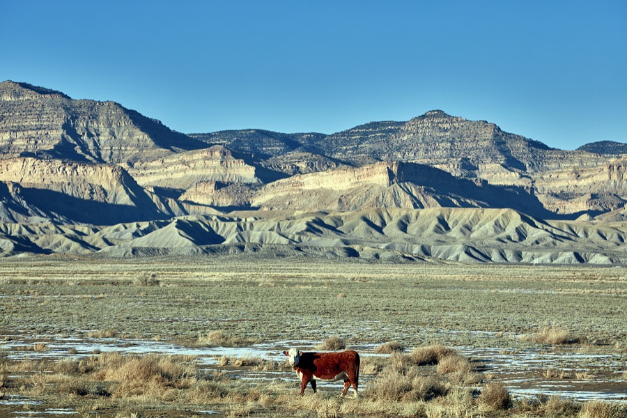
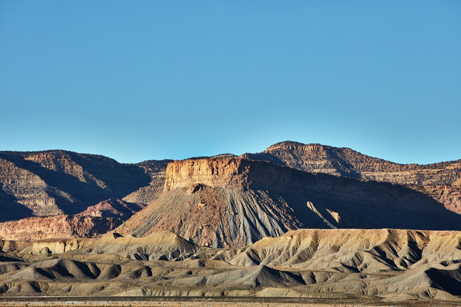
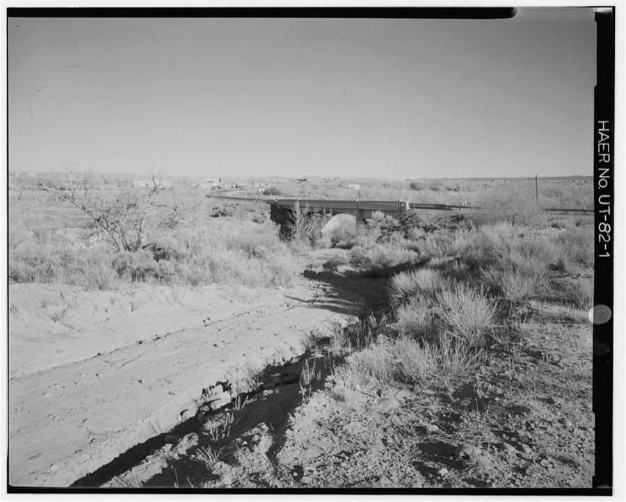
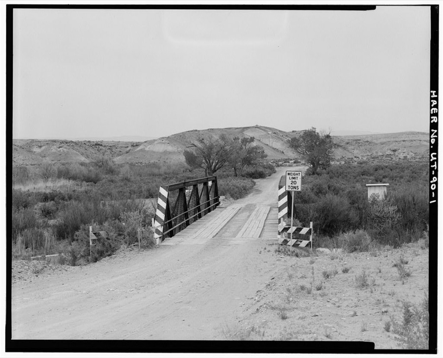
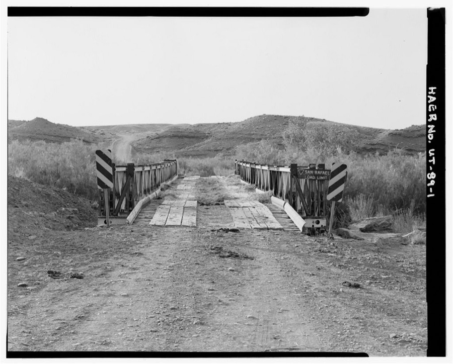
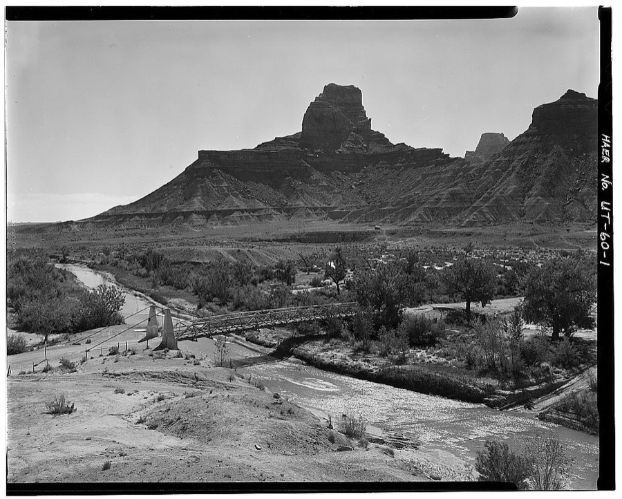
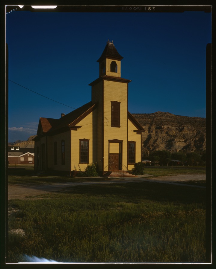
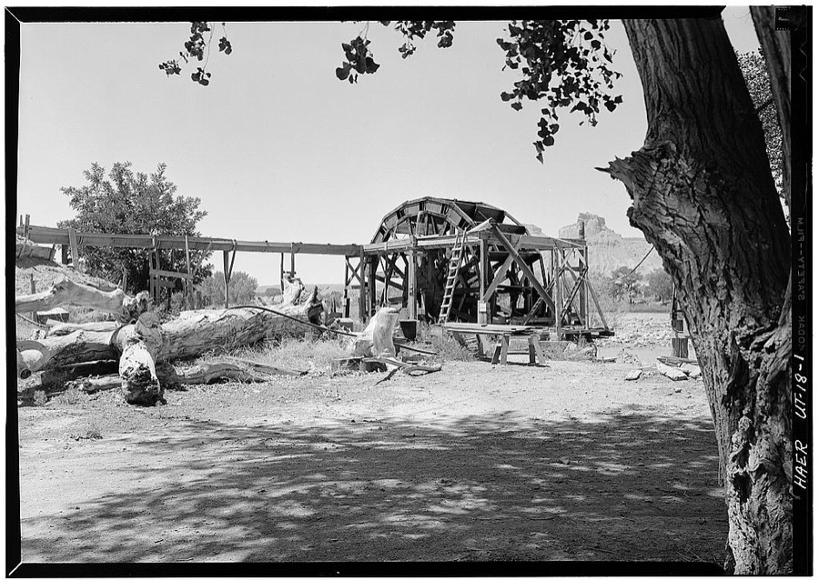
Every property in this county listed on the National Register of Historic Places, with the year it was listed and the federal nomination document.
| Photograph | Property | Type | Listed | Reference |
|---|---|---|---|---|
| Castle Dale Bridge | structure | 2019 | 100004394 | |
| Castle Dale High School Shop | building | 1985 | 85000804 | |
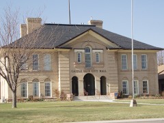 | Castle Dale School | building | 1978 | 78002657 |
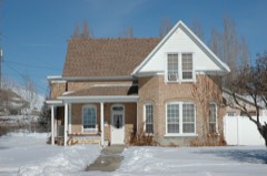 | Paul C. Christensen House | building | 1980 | 80003899 |
| Denver and Rio Grande Lime Kiln | structure | 1980 | 80003901 | |
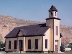 | Emery LDS Church | building | 1980 | 80003903 |
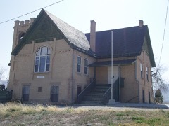 | Ferron Presbyterian Church and Cottage | building | 1978 | 78002658 |
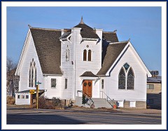 | Green River Presbyterian Church | building | 1989 | 88002998 |
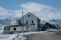 | Huntington Roller Mill and Miller's House | building | 1979 | 79002495 |
| Huntington Tithing Granary | building | 1985 | 85000261 | |
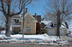 | Peter Johansen House | building | 1980 | 80003900 |
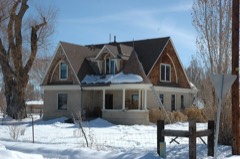 | Lars Peter Larson House | building | 1980 | 80003902 |
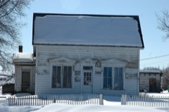 | Leander Lemmon House | building | 2002 | 02001040 |
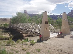 | San Rafael Bridge | structure | 1996 | 96000617 |
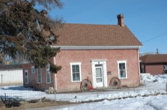 | Justis Wellington II Seeley House | building | 1979 | 79002493 |
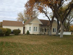 | Samuel Singleton House | building | 1979 | 79002494 |
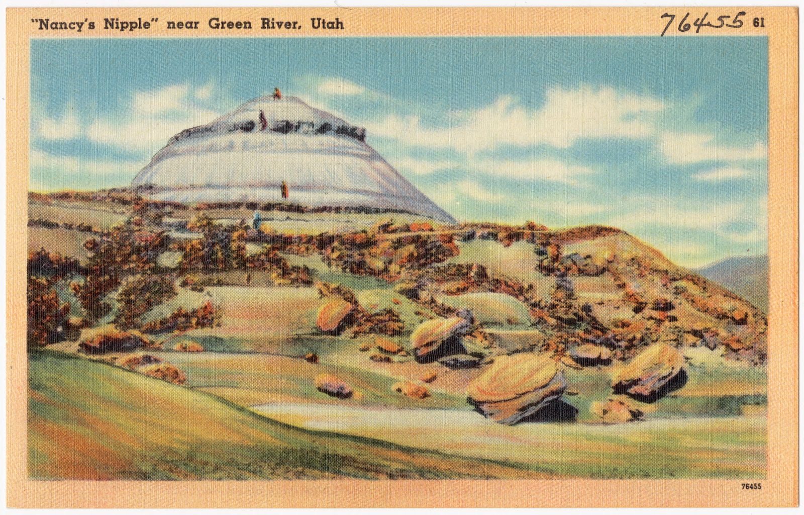
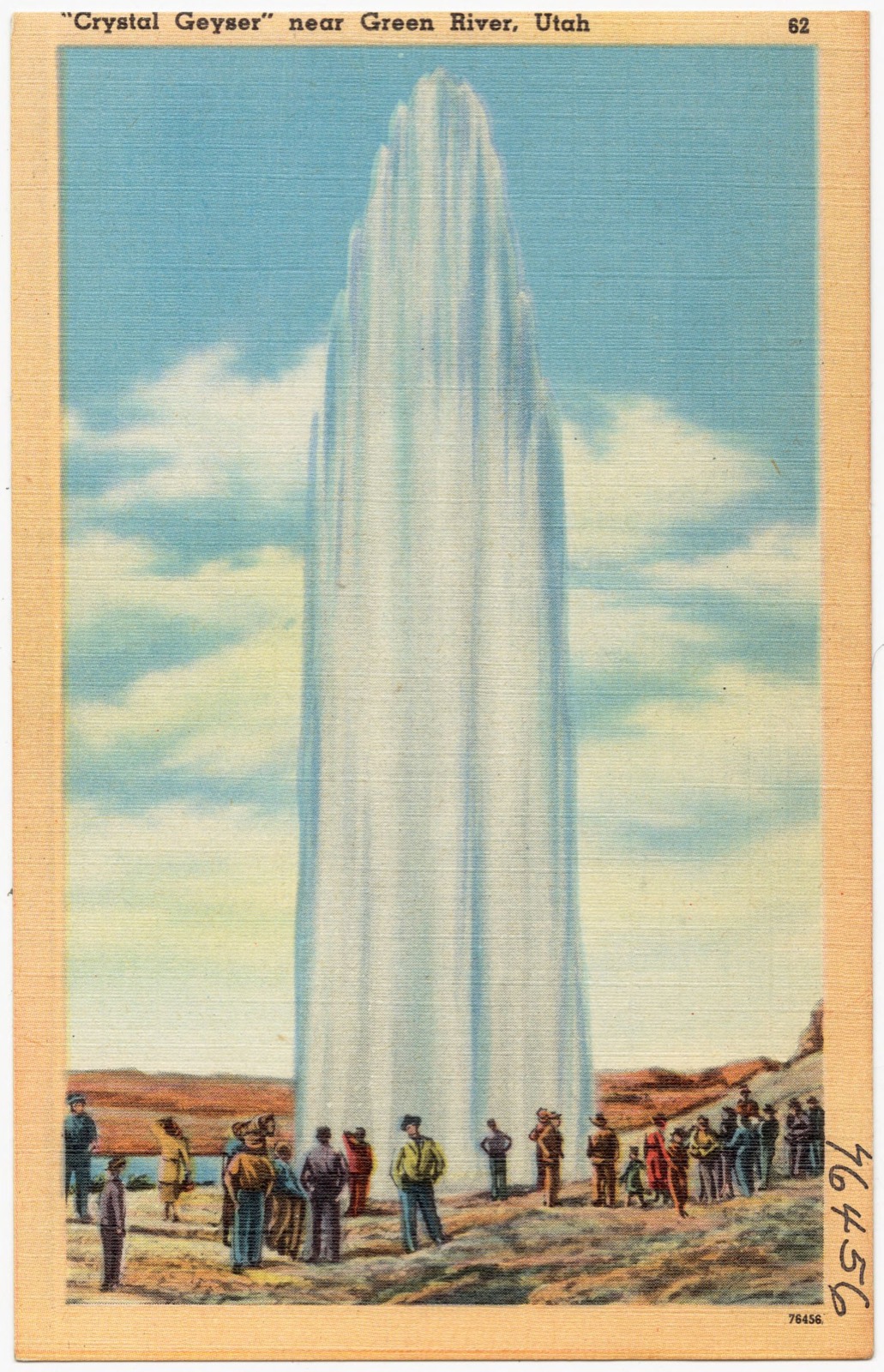
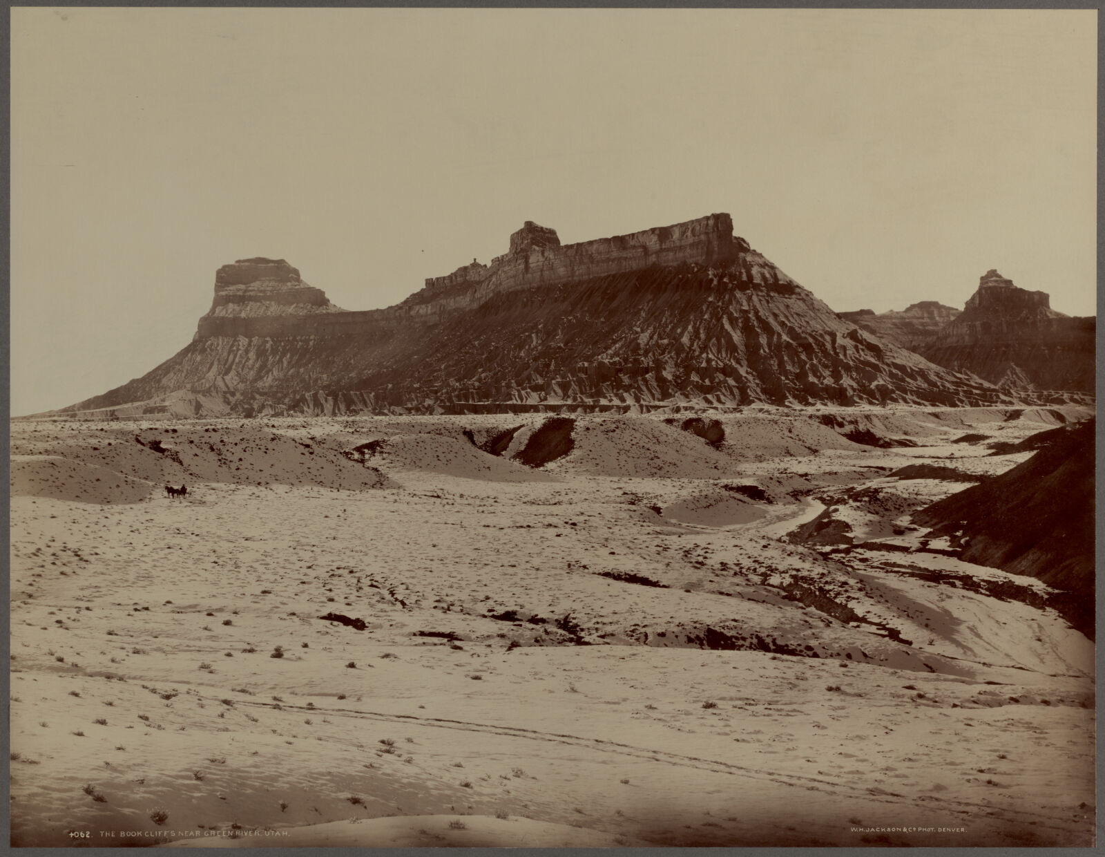
Selected from the Digital Public Library of America's 6 image records catalogued for this county. Every one shown here carries a public-domain status or a licence that permits reuse on a site that carries advertising; non-commercial, share-alike and restricted images are excluded. The selection is spread across the county's towns (at most eight per town), so no single institution's bulk upload crowds out the rest. Each opens the holding library's record, and the complete set at the Digital Public Library of America is one click away.
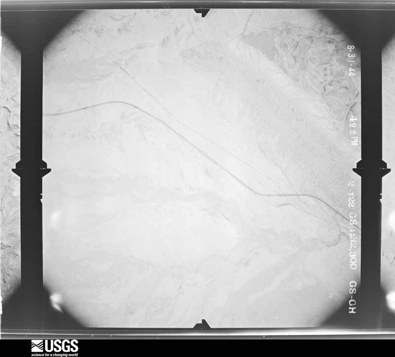
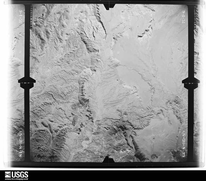
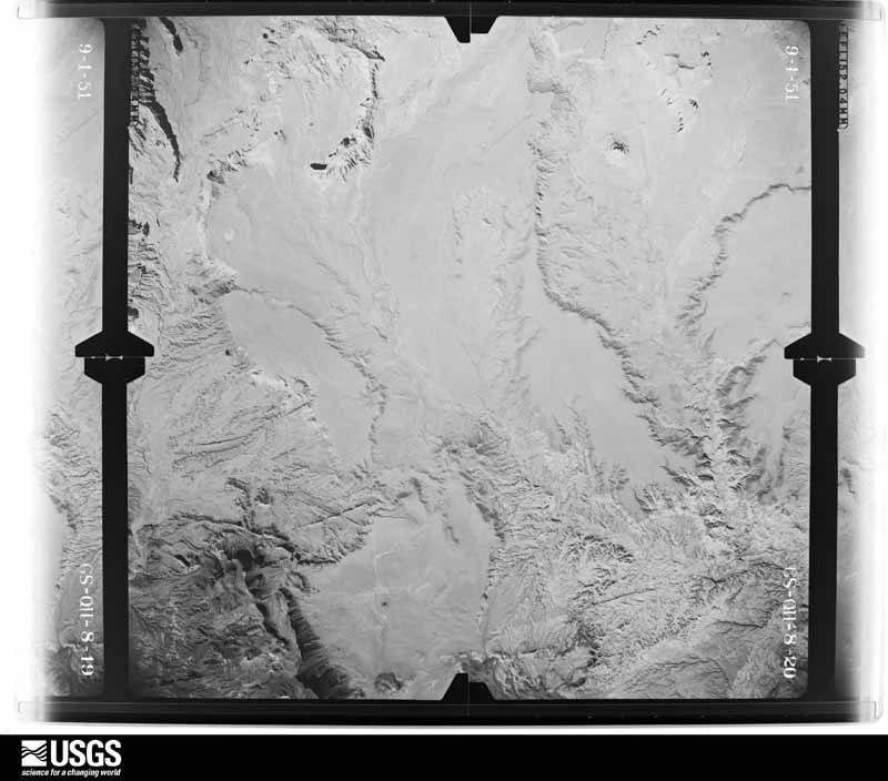
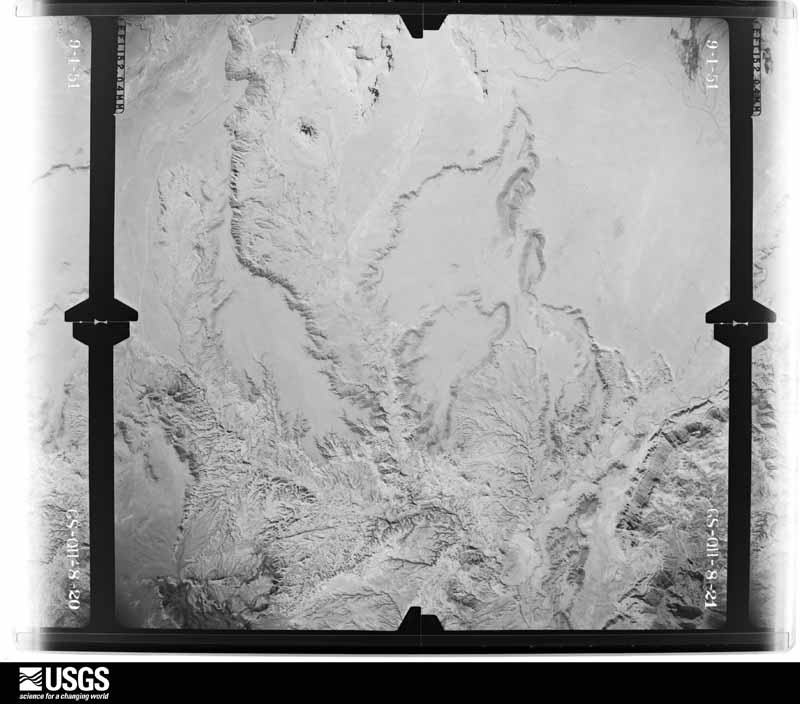
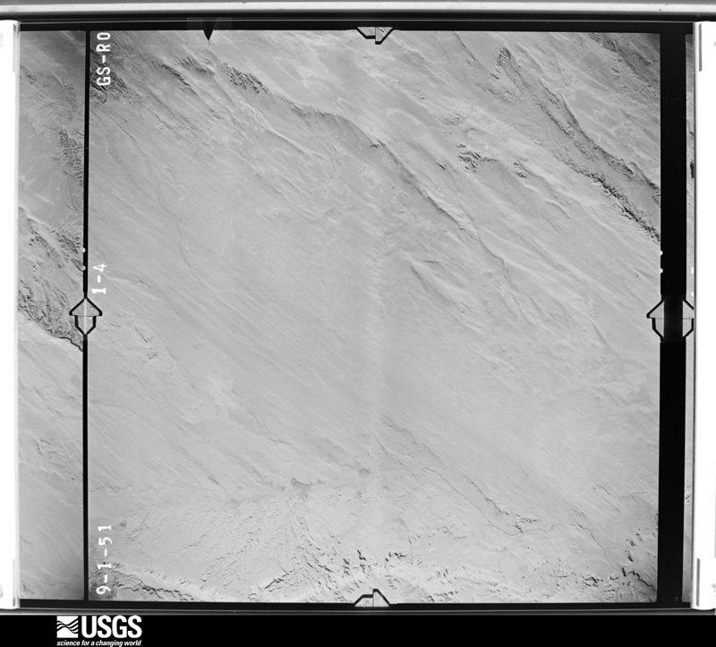
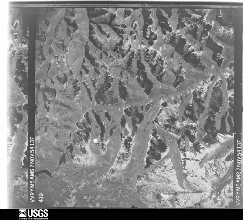
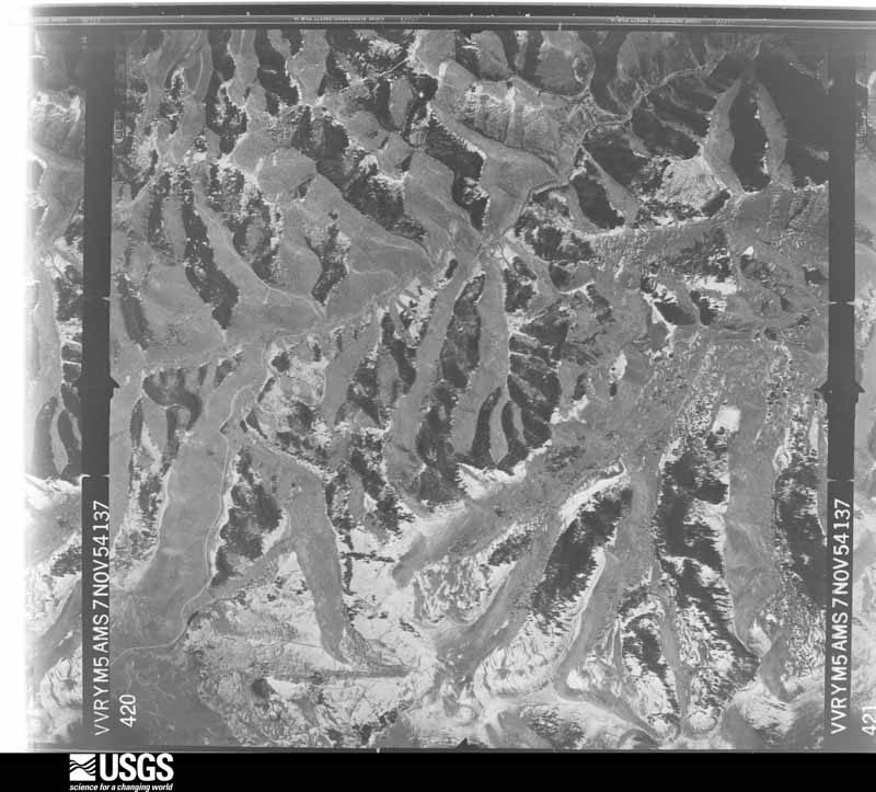
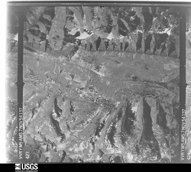
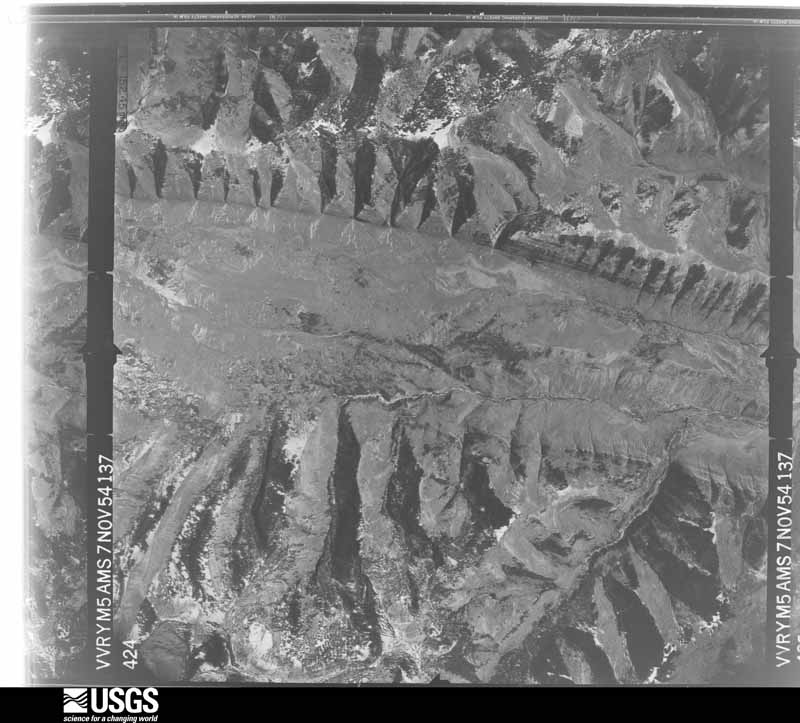
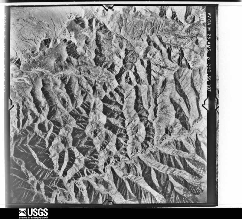
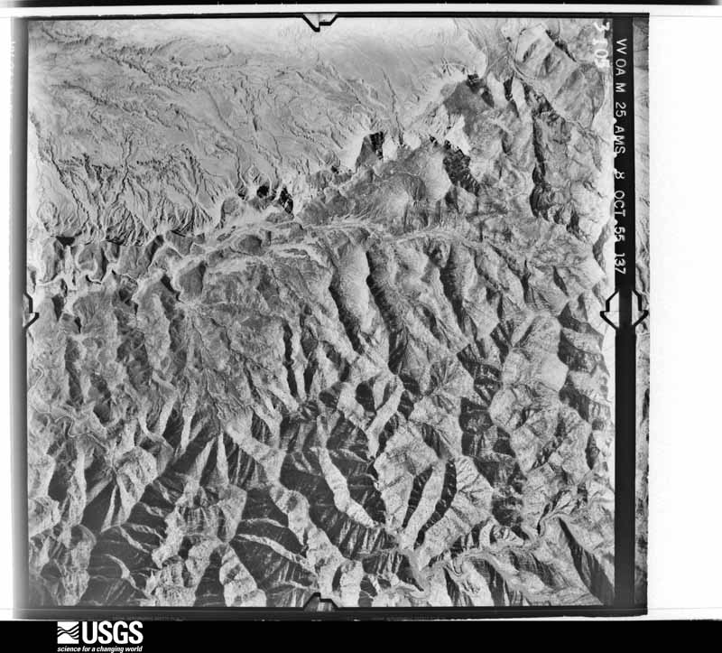
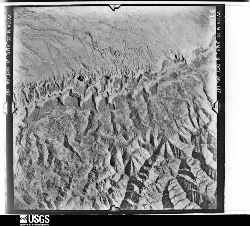
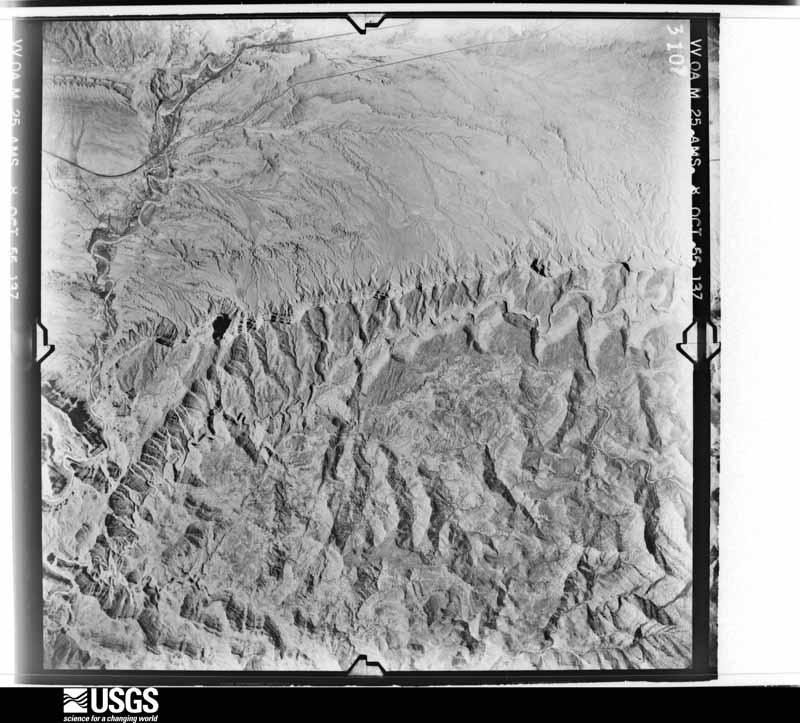
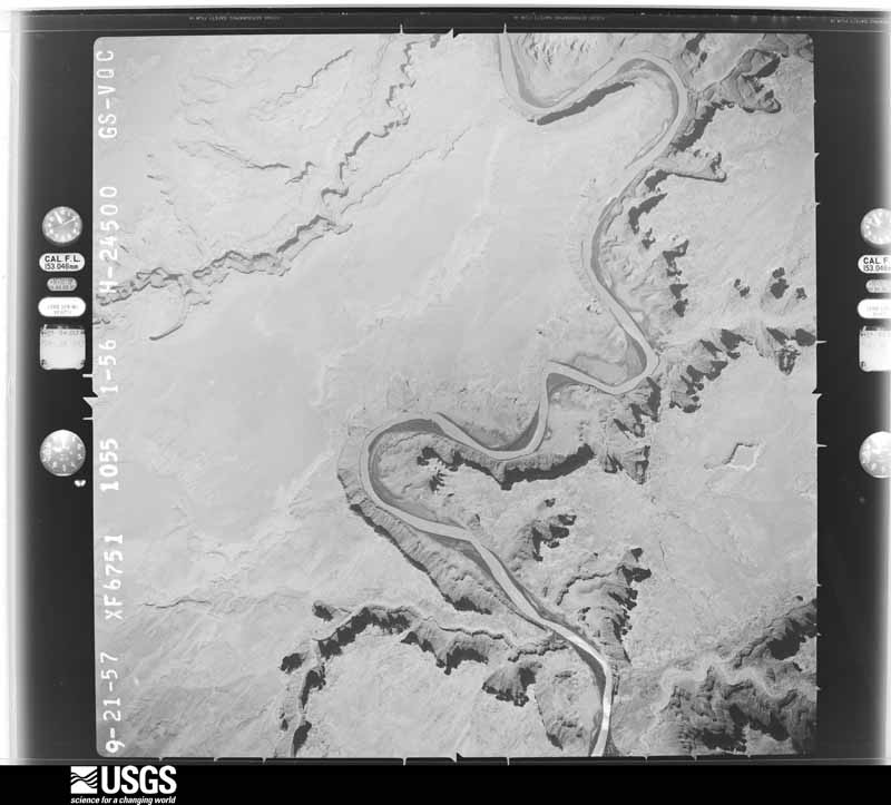
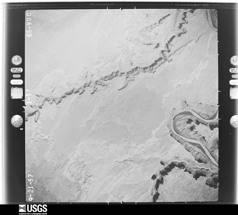
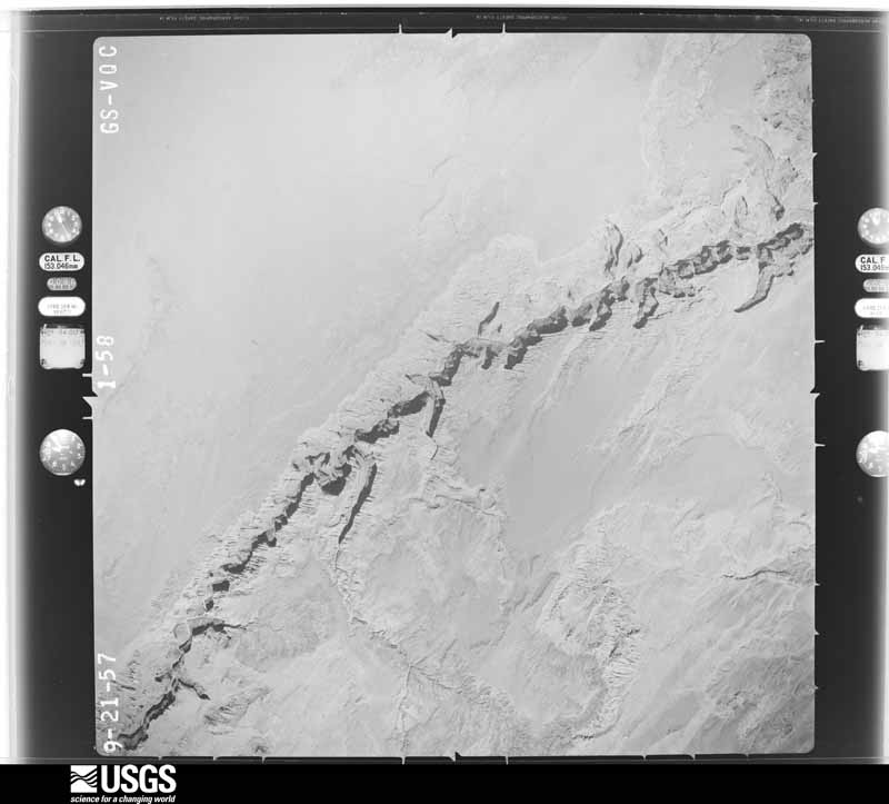
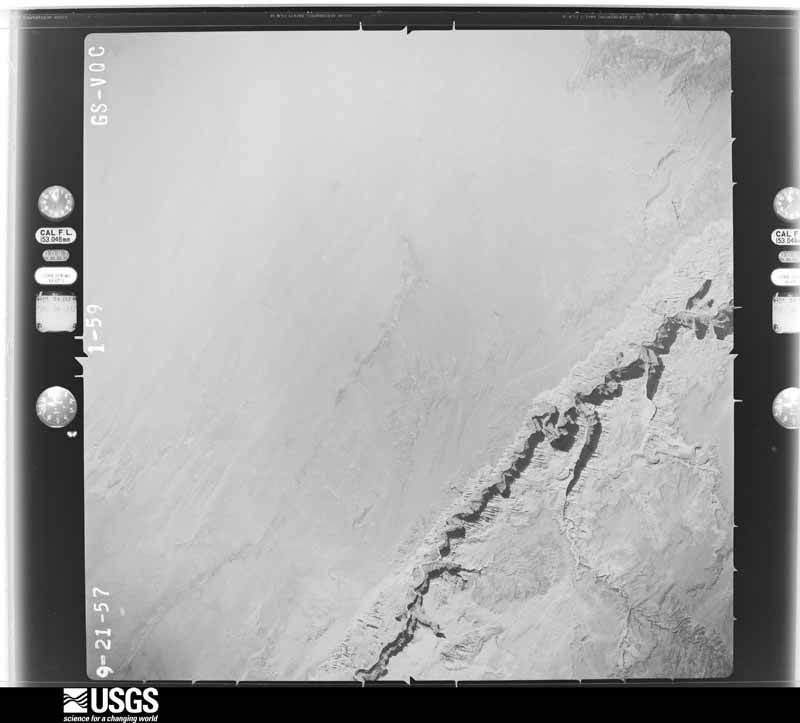
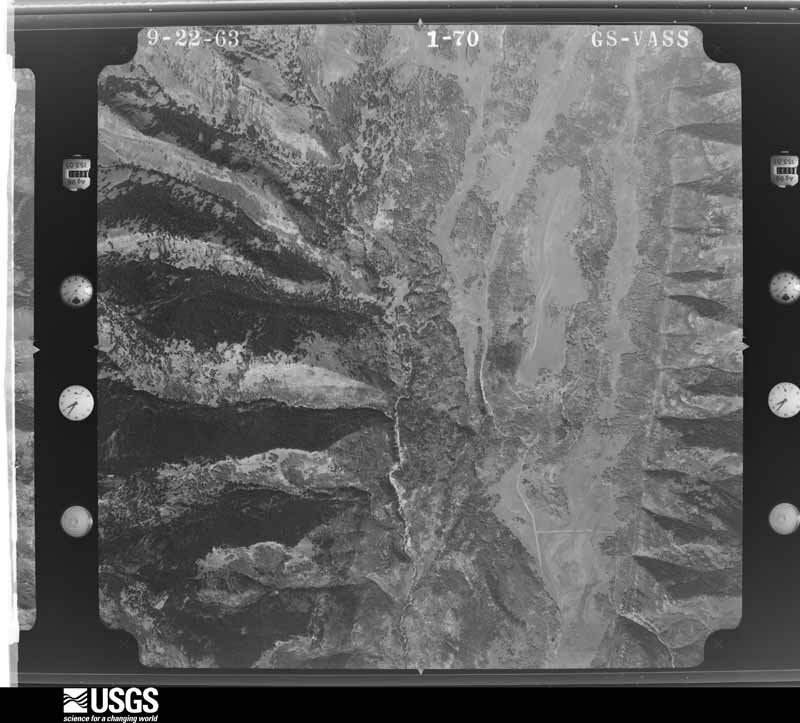
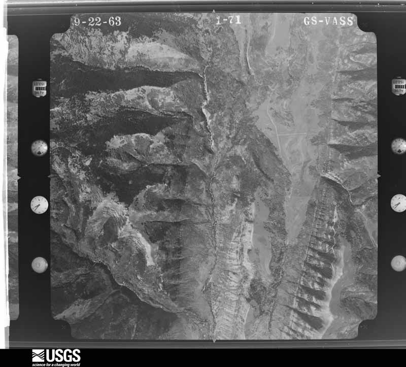
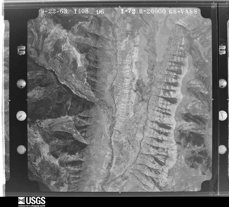
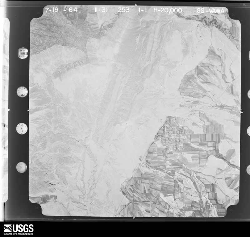
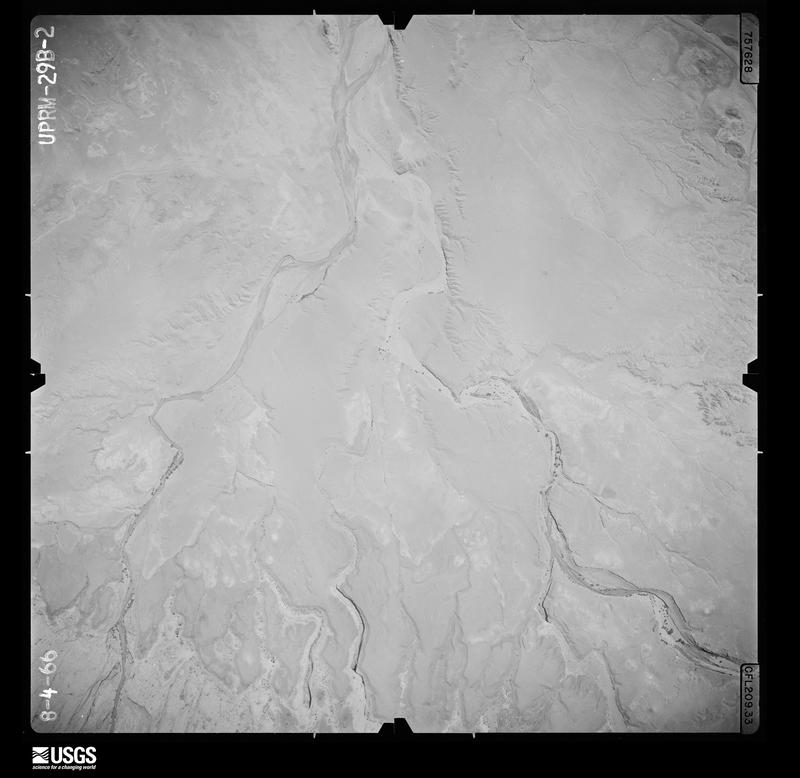
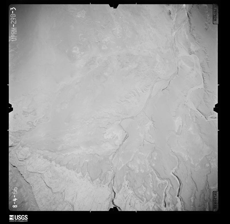
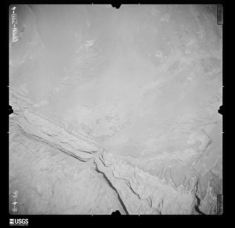
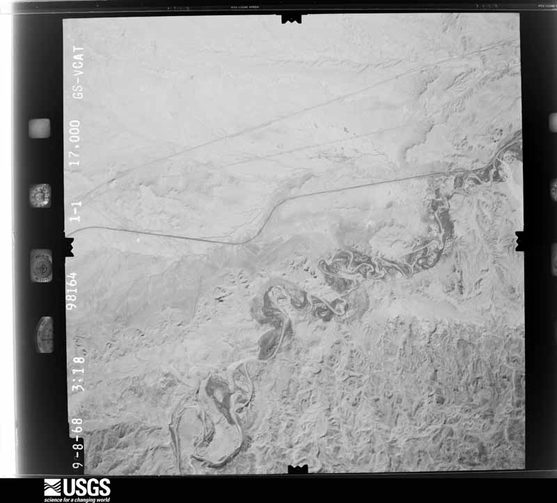
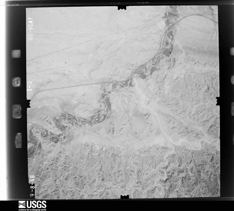
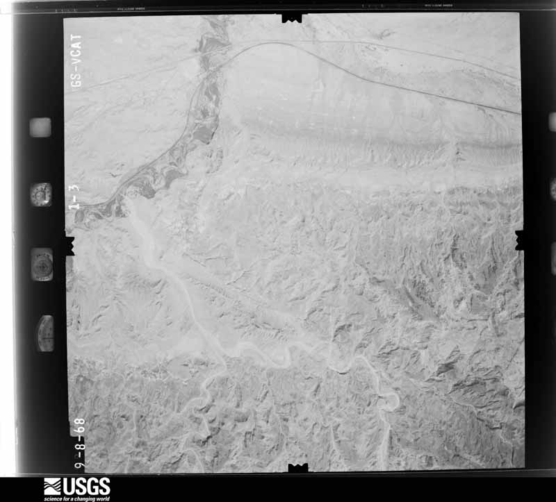
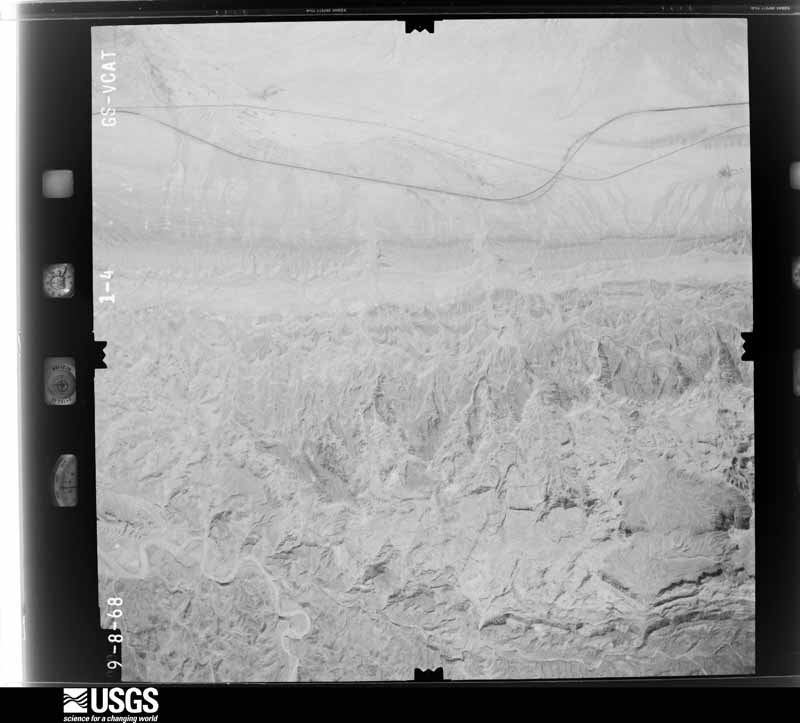
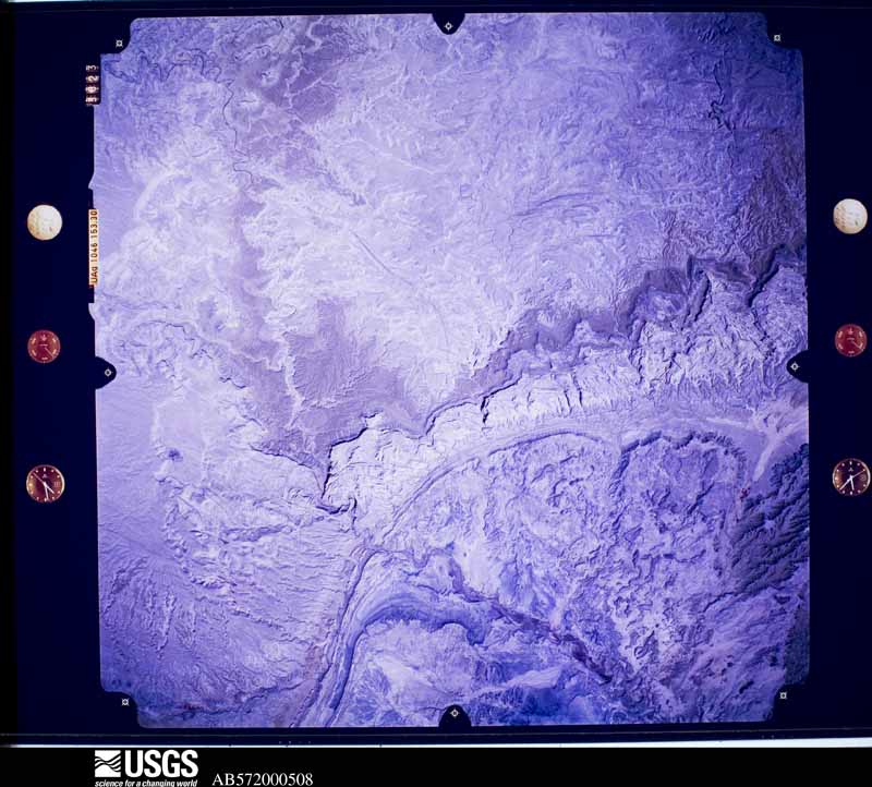
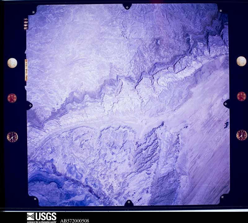
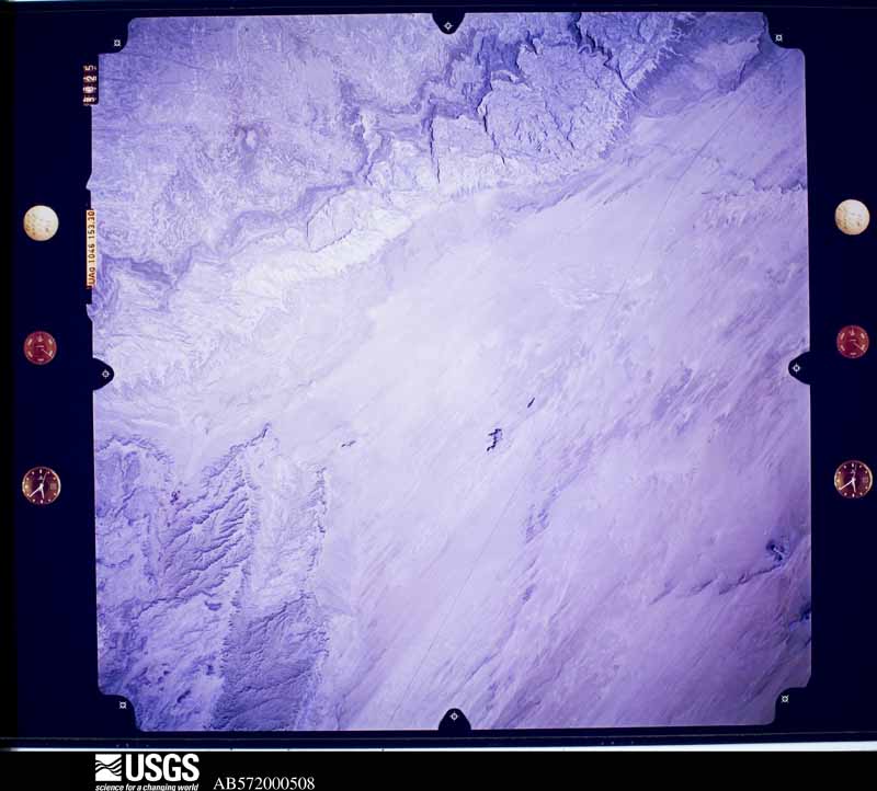
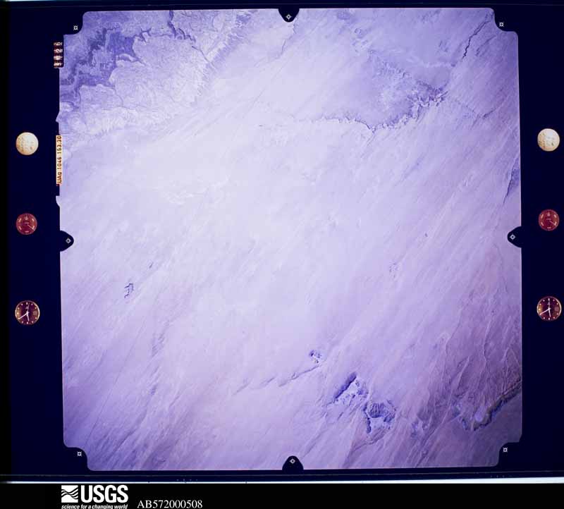
Flown by the U.S. Geological Survey between 1937 and 1989, the Aerial Photo Single Frames collection is the definitive mid-century view of the land: fields, roads and rivers as the camera saw them. The Survey holds 14,422 frames inside the rectangle that bounds this county; the 48 frames below were taken over the county itself, chosen across the decades of flights (at most four a year from that rectangle), so one flight cannot crowd out the rest. The full set is free to browse and download at EarthExplorer under the dataset Aerial Photo Single Frames.
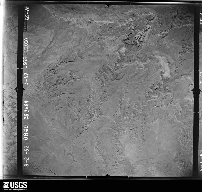
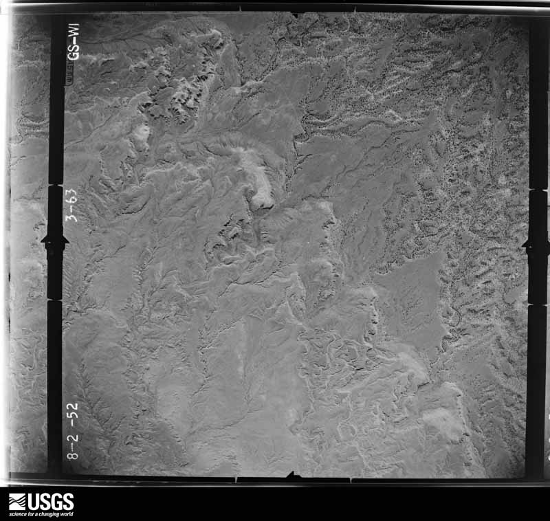
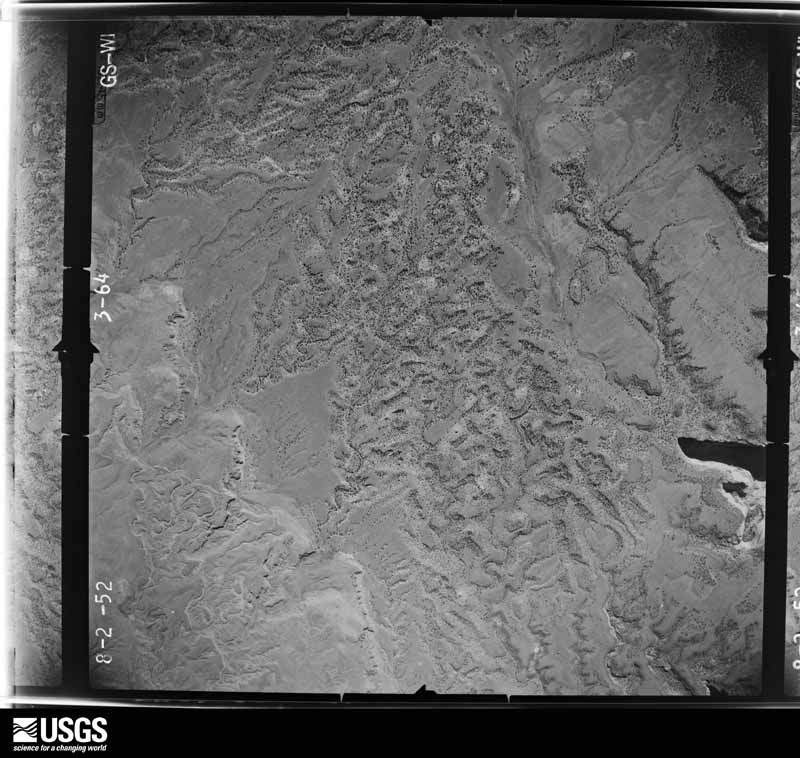
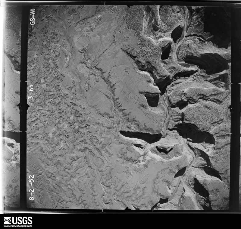
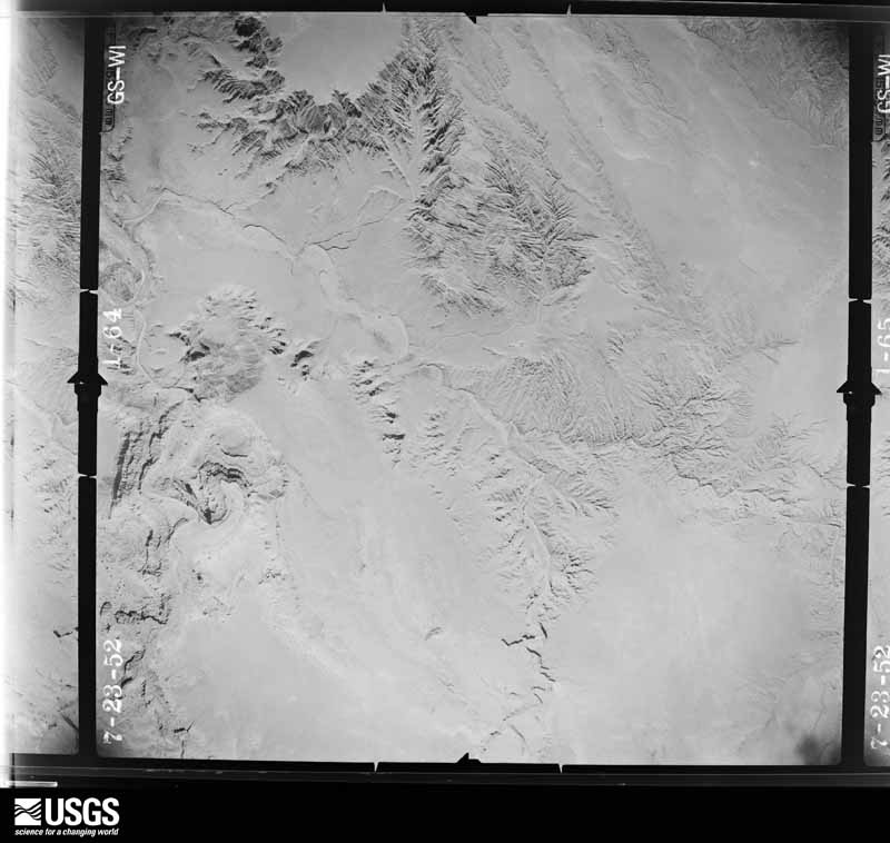
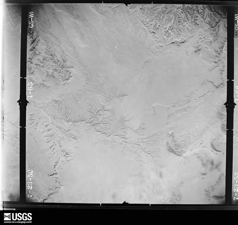
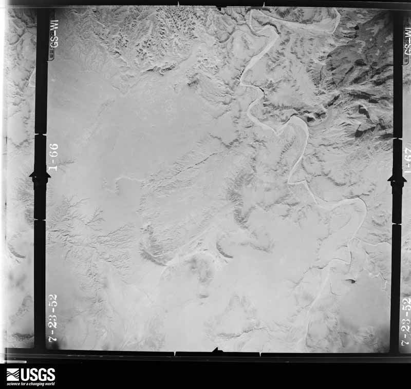
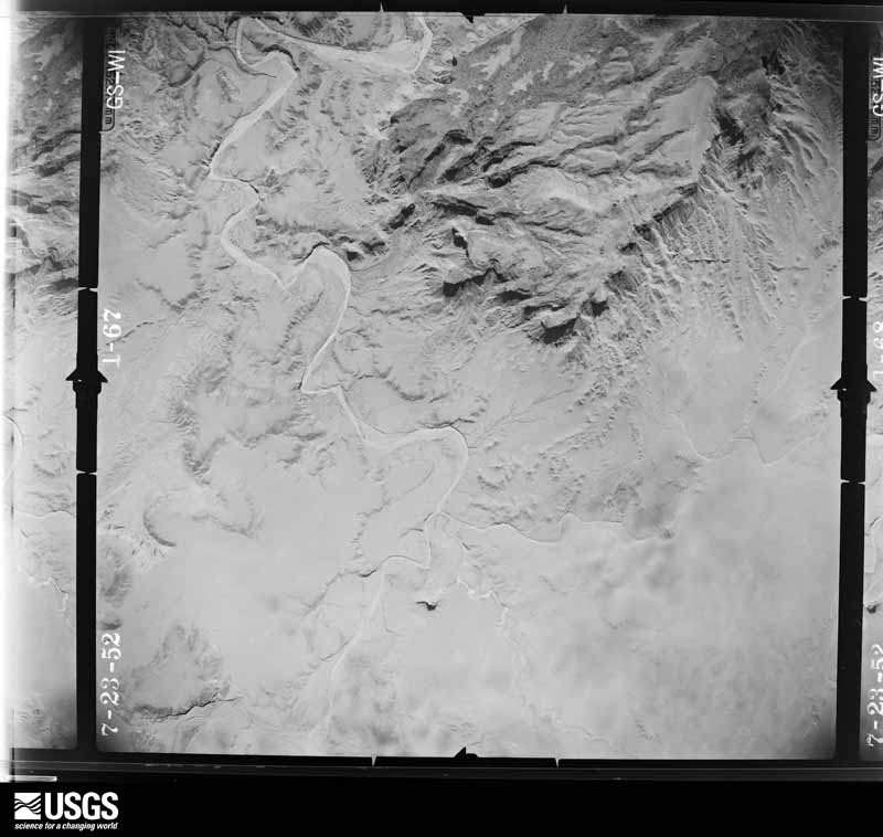
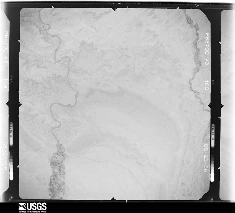
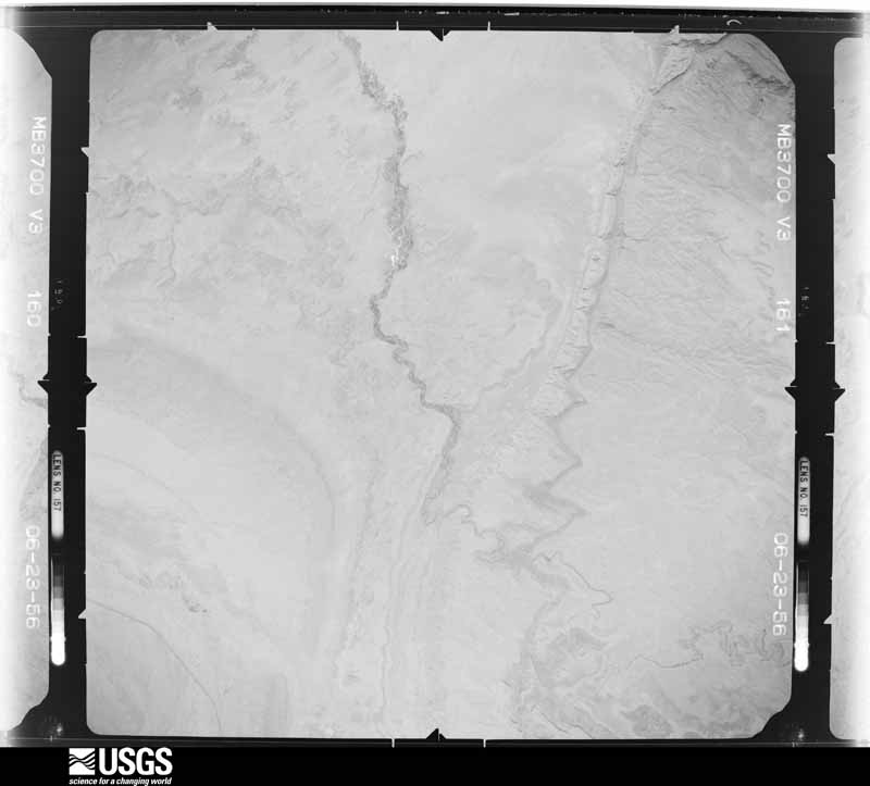
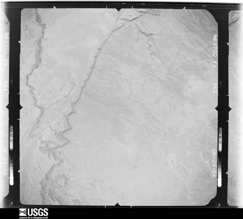
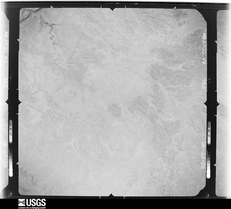
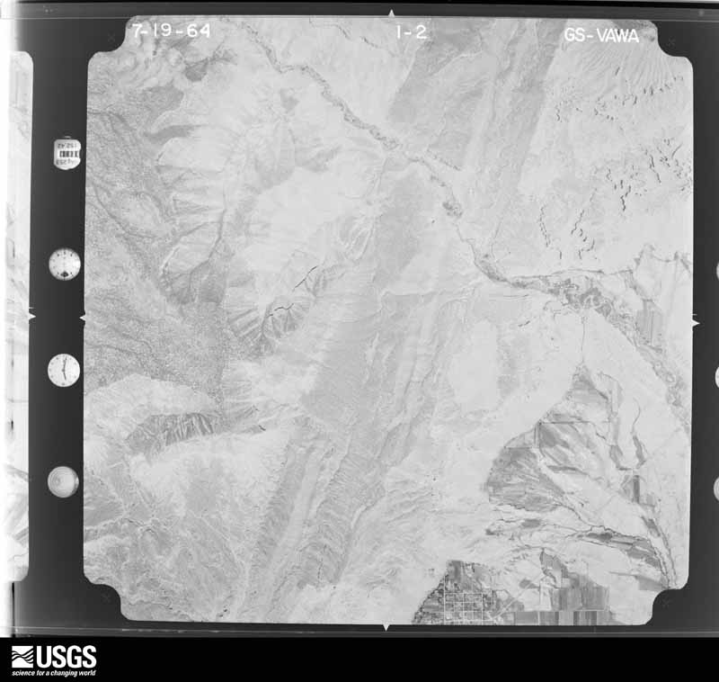
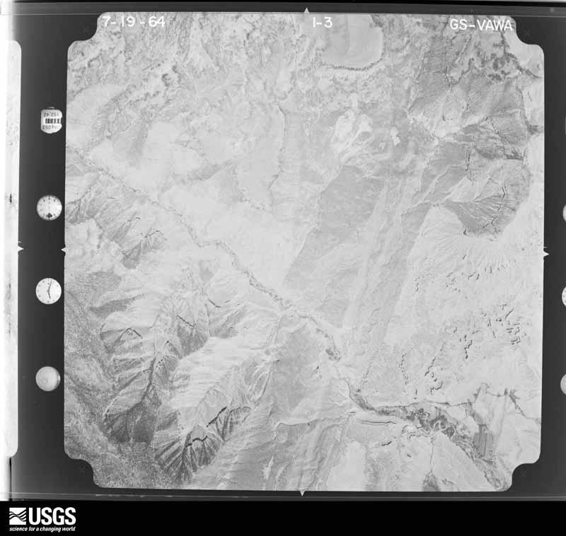
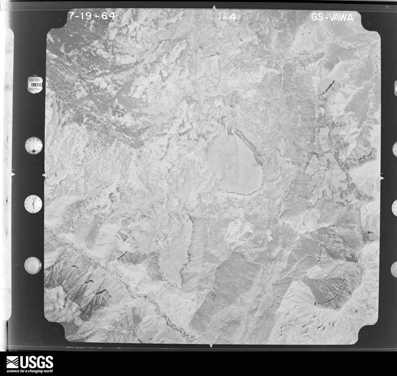
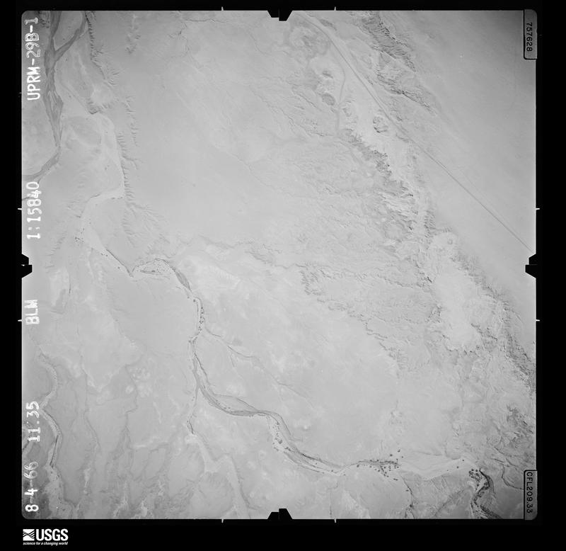
The thermometers that kept this county's weather, and the gages that measured the flow of its streams, as the federal records hold them. The extremes below are measured values from those records, not estimates.
Who lived here in 1950, one enumeration district at a time, as the Census Bureau described each district. Each row opens its official National Archives result, with Population Schedules and ED Maps available there.
Every wildfire the federal occurrence database records inside this county: 481 of them, burning about 78,919 acres. 287 started naturally and 4 were recorded as arson. Each settlement page carries the fires within five miles of it.
| Reported cause | Fires |
|---|---|
| Natural | 287 |
| Missing data/not specified/undetermined | 69 |
| Equipment and vehicle use | 39 |
| Recreation and ceremony | 35 |
| Debris and open burning | 32 |
| Arson/incendiarism | 4 |
| Fireworks | 4 |
| Smoking | 3 |
| Power generation/transmission/distribution | 3 |
| Railroad operations and maintenance | 3 |
| Misuse of fire by a minor | 2 |
The five largest, by the area the report gives. None of them was recorded as arson.
| Date | Cause | Size | Reported by | Name on the report |
|---|---|---|---|---|
| 26 June 2012 | Natural | 48,986 acres | Manti-Lasal National Forest | SEELEY |
| 7 June 2018 | Debris and open burning | 18,080 acres | Manti-Lasal National Forest | TRAIL MOUNTAIN |
| 7 August 2004 | Natural | 3,415 acres | Moab Field Office | BIG CANYON |
| 11 September 1993 | Debris and open burning | 1,500 acres | Manti-Lasal National Forest | FLAT CANYON |
| 7 July 2002 | Natural | 1,022 acres | Manti-Lasal National Forest | NORTH HORN MOUNTAIN |
| 25 August 2009 | Natural | 885 acres | Manti-Lasal National Forest | TIE FORK |
| 18 July 2012 | Natural | 839 acres | Moab Field Office | LIGHTHOUSE |
| 6 July 2009 | Natural | 735 acres | Moab Field Office | JOE HUTCH |
Every settlement page carries the fires within five miles of it - see the settlement index below.
The NOAA Storm Events Database holds 107 reports for this county, causing 4 deaths, 3 injuries and about $1,657,500 in recorded property damage. Each settlement page carries the reports that name it.
| Kind of event | Reports |
|---|---|
| Flash Flood | 48 |
| Hail | 19 |
| Thunderstorm Wind | 16 |
| Debris Flow | 9 |
| Tornado | 7 |
| Heavy Rain | 4 |
| Flood | 3 |
| Lightning | 1 |
The most serious of them, by death, then injury, then recorded damage. The accounts are quoted exactly as the forecast office filed them.
| When | Event | Place named | Harm | What the report says |
|---|---|---|---|---|
| May 2020 | Flash Flood | Moore | 2 killed | Flash flooding occurred in Little Wild Horse, Bell, Crack, and Dang Canyons, with two confirmed fatalities. |
| August 2021 | Flash Flood | Mohrland | 1 killed, 1 hurt, $1,000,000 | A significant flood wave carrying debris moved down Bear Creek Canyon, sweeping away mining vehicles at the Gentry Mountain Mine. Several miners were caught in the flood waters, with one miner able to save himself by clinging to a tree a quarter mile down the drainage. Another miner was not able to escape the flood waters and was found deceased 6 miles downstream. Another Mine car was flipped 8 times in the flood waters, but the miners were able to kick out the windows and escape. Significant infrastructure damage occurred at the Mine. |
| July 2011 | Lightning | Cleveland | 1 killed | A 56-year-old man was with his family near the Wedge Overlook in the San Rafael Desert when he was struck by lightning. CPR was performed by family members and emergency personnel who responded to the scene, but he was unable to be revived and died at the scene. |
| August 1997 | Thunderstorm Wind | Green River | 1 hurt, $10,000 | no account filed |
| September 2025 | Flash Flood | Green River | 1 hurt | Heavy rain from a near stationary storm in central Emery County resulted in radar estimated water totals in the 2 to 5 inch range over the span of around one to two hours. This rain fell within the catchment area for the Saleratus Wash. A flood wave form and propagated downstream towards the Green River for the next several hours. This flood wave eventually reached an unprotected crossing at Airport Road in the town of Green River. This led to the necessity of recue operations in this location for an individual who was brought to safety, though they required treatment for minor injuries at the hospital afterwards. The heavy rain fell late in the morning, with the Emery County EM estimating the flood wave's downstream impacts occurred around 4 PM MST. |
| September 2013 | Flood | Emery | $150,000 | Significant flooding impacted Emery County over two days, particularly on the west side of the county. Road damage and high water levels caused multiple highways to close down. State Route 10 closed from Castle Dale to Emery, with many boulders moving onto the road, some as large as cars. State Route 29 closed from mile post 0 to 12, or approximately Orangeville to Joe's Valley Reservoir. State Route 31 was closed multiple times through the event, in part due to multiple debris flows coming off of the Seeley Fire burn scar. In addition to the major routes listed here, many more local roads were closed due to flood waters, including Cottonwood Canyon. Monetary damages to roads were estimated to be approximately $150,000. |
| July 2013 | Debris Flow | Mohrland | $50,000 | Heavy rain resulted in a large debris flow off the Seeley Fire burn scar, covering a 10-mile stretch of State Route 31 in water, mud, and debris. This flow caused extensive damage and undercutting in the Horse Canyon area, near milepost 31. |
| August 2013 | Flash Flood | Huntington Arpt | $50,000 | A large debris flow occurred off of the Seeley Fire burn scar, covering State Route 31 with trees, mud, and rocks, as much as 1-2 feet deep in some locations. The debris flow damaged State Route 31, and closed the entire canyon for several hours. |
| August 2012 | Flash Flood | Mohrland | $50,000 | After approximately 1.25 inches of rainfall, a very large debris flow occurred on the Seeley Burn Scar. Debris flowed over State Route 31, causing significant damage to a 1/4 mile stretch of the road, as well as a nearby bridge. Debris of up to 3 feet in height was spread over about a mile of the roadway. State Route 31 was closed for over a week, as crews repaired the road damage and cleared boulders and other debris off the roadway. The debris flow also pushed a UDOT front loader off the road and into a ditch, partially covering it with debris. |
| September 2012 | Flash Flood | Mohrland | $50,000 | Heavy rain over the Seeley burn scar caused yet another debris flow in the area. The flooding originated from Pole and Engineer Canyons, and caused damage along State Route 31. Car-sized boulders were deposited on State Route 31 at the base of Pole Canyon. |
| July 1998 | Heavy Rain | Green River | $45,000 | no account filed |
| July 1997 | Flash Flood | Emery | $40,000 | no account filed |
| August 2025 | Flash Flood | Cleveland | $35,000 | Buckhorn Draw Road was washed out, with a car on road washed a quarter mile down the road. Four people were rescued due to flash flooding. |
| July 2022 | Flash Flood | Desert Siding | $35,000 | A strong thunderstorm produced heavy rainfall, primarily over the high terrain just east of U.S. Highway 191/U.S. Highway 6 near milepost 292. Radar estimates showed roughly 1 to 2 inches of rain over the course of around an hour to an hour and a half. This resulted in a flow of water, mud and debris, including railroad ties from an adjacent railroad, to flow over the highway in the vicinity of milepost 292. It was later reported that this led to a family's SUV being washed off of the road, and the family required rescue. No injuries were reported. |
| August 2014 | Flash Flood | Huntington Arpt | $25,000 | A large debris flow occurred in Huntington Canyon and flowed onto State Route 31 after heavy rain fell on the Seeley burn scar. Many boulders and trees flowed onto the roadway, with some trees as large as 40 feet in length and 4 feet in diameter. |The area with the heaviest impact was the North Hughes drainage, with significant flooding and debris also occurring in Cabin Canyon and the Old Folks Flat area. It took the Utah Department of Transportation about 24 hours to reopen the roadway to traffic. |
| November 1967 | Tornado (F2) | not stated | $25,000 | no account filed |
| August 2014 | Flash Flood | Mohrland | $15,000 | Heavy rain over the Seeley burn scar caused flooding in Hughes Canyon and near Electric Lake in Upper Huntington Canyon. Flooding was reported in the lower portion of Huntington Canyon as well, with mud and rocks covering the road near the Huntington Plant. |
| July 2014 | Flash Flood | Mohrland | $10,000 | Heavy rain over the Seeley burn scar caused a debris flow, with debris and water crossing State Route 31 near Huntington. This debris shut down the highway, and the excessive runoff and debris also damaged a small debris dam located upstream. |
| July 2013 | Flash Flood | Mohrland | $10,000 | A stronger secondary wave of flash flooding occurred along Huntington Creek, with a rise of five feet along the creek observed at the PacifiCorp Huntington Plant. This time, the heavy rain also resulted in a debris flow at the Seeley Fire burn scar, resulting in State Route 31 being covered in sand and silt between mileposts 24 and 34. This also resulted in some debris flowing in the river near Huntington Plant, including a couple of large logs. |
| July 2011 | Flash Flood | Green River | $10,000 | Flash flooding was reported near State Route 95 in southern Emery County, with one of the roads near there being washed out. |
| June 2005 | Thunderstorm Wind | Castle Dale | $10,000 | TSTM wind gust blew roof off buliding |
| September 1997 | Thunderstorm Wind | (U28)Green River Mun | $8,000 | no account filed |
| July 2025 | Thunderstorm Wind | Orangeville | $5,000 | Emery County EM reported multiple trees down along with numerous large branches in Orangeville as a result of strong outflow winds. Time estimated by EM's report. |
| June 2024 | Flash Flood | Mohrland | $5,000 | The Huntington Power Plant reported flash flooding, and debris was reported across state Route 31. Location is approximate. |
| June 2015 | Flash Flood | Moore | $5,000 | Park rangers at Goblin Valley State Park reported flash flooding along the Temple Wash, with Temple Mountain Road severely washed out at the Temple Wash crossing. Flood waters from Temple Wash and Chute Canyon also crossed Little Wild Horse Road. |
| September 2005 | Hail | Green River | $4,000 | large hail caused damage to cars. Damage amount estimated |
| August 2021 | Flash Flood | Huntington | $3,000 | UDOT reported two flash floods the Trail Mountain Fire burn scar flowed across state Route 31 between milepost 40 and milepost 44. |
| May 1961 | Tornado | not stated | $2,500 | no account filed |
| August 1998 | Flash Flood | Green River | $2,000 | no account filed |
| June 2024 | Flash Flood | Emery | $1,000 | Flooding was reported on Interstate 70 between mileposts 96 and 103. |
| June 2024 | Flash Flood | Emery | $1,000 | Flash flooding was reported in Little Wildhorse Canyon and Bell Canyon. Several camps were impacted by mud and debris washed downstream. |
| August 2022 | Flash Flood | Orangeville | $1,000 | Emery County dispatch reported state Route 29 was impassible from milepost 9 to Joes Valley Reservoir. Up to a foot of mud and debris was deposited across the road. |
| April 2026 | Flash Flood | Moore | - | Goblin Valley State Park rangers reported all area dry washes and slot canyons were running. Chute Canyon wash was flooding across Wild Horse road. Time estimated. |
| April 2026 | Flash Flood | Moore | - | Emery county emergency management reported an ongoing flood and search and rescue operation in Little Wildhorse Slot Canyon. Water was at least 1 to 2 feet deep with locally deeper water. Rescue was successful with no significant injuries reported. |
| July 2025 | Thunderstorm Wind | Sphinx Siding | - | The US-6 at MP 296 Sphinx Siding mesonet station recorded a wind gust of 63 mph as a result of outflow winds associated with a nearby cluster of showers and thunderstorms moving through the area. |
| July 2025 | Thunderstorm Wind | Orangeville | - | The Orangeville - Agrimet CSDU mesonet station recorded an initial peak wind gust of 62 mph and a subsequent gust of 61 mph as a result of outflow winds associated with a nearby cluster of showers and thunderstorms moving through the area. |
| August 2025 | Flash Flood | Green River | - | A gauge on the San Rafael River recorded a flood wave around 700 cfs. |
| September 2025 | Flash Flood | Moore | - | A flash flood occurred in Little Wildhorse Canyon due to heavy rainfall in an area which drains into the narrow canyon. This flash flood trapped multiple groups, forcing these groups to seek higher ground. Search and rescue was notified, and eventually all parties were able to hike out safely. |
| June 2024 | Hail | Moore | - | Quarter-sized hail fell five miles west of exit 131 on Intersate 70. |
| August 2024 | Flash Flood | Moore | - | The Emery County Emergency Manager reported around 2 feet of water was observed flowing through Bell Canyon. Time is estimated by archived radar and MRMS data. Exact location is estimated. |
| August 2024 | Flash Flood | Emery | - | Time and location are estimated. A flood wave was observed at the Muddy Creek near Emery gauge, with a rise from around 34 cfs to around 700 cfs between 4:45 and 5 p.m. MDT. This flood wave would have then routed into the warned area between 5 and 6 p.m. MDT. |
| August 2023 | Flash Flood | Mohrland | - | Debris with mud was reported in Huntington Creek resulting from flow from the Trail Mountain Burn Scar. |
| July 2022 | Debris Flow | Pine Creek | - | A thunderstorm produced heavy rain over portions of the Trail Mountain Fire burn scar, with a 1-hour Multi-Radar Multi-Sensor rainfall estimate of around 1 inch noted in the immediate vicinity of Crandall Canyon. This resulted in a debris flow that moved through Crandall Canyon, with flash flooding extending downstream through Huntington Creek, as reported by Law Enforcement. |
| July 2022 | Debris Flow | Mohrland | - | A thunderstorm produced heavy rain over portions of the Trail Mountain Fire burn scar, with a 1-hour Multi-Radar/Multi-Sensor rainfall estimate of around 1 inch noted in the immediate vicinity of Millfork Canyon. This resulted in a debris flow that moved through Millfork Canyon, with flash flooding extending downstream through Huntington Creek, as reported by an emergency manager. |
| August 2022 | Flash Flood | Huntington | - | A debris flow from the Trail Mountain Fire burn scar was observed on Huntington Creek near the Huntington Power Plant. |
| June 2022 | Thunderstorm Wind | Elmo | - | A wind gust of 60 mph was measured at the Wellington Ameriflux Site. |
| July 2021 | Tornado (EFU) | Huntington | - | LANDSPOUT. A video and photos of a landspout tornado near Hungtington was sent to local broadcast media near Huntington. |
| August 2021 | Thunderstorm Wind | Mohrland | - | The Manti portable automated weather station, on a ridgetop at 9877 feet, recorded a peak wind gust of 75 mph. |
| July 2020 | Debris Flow | Mohrland | - | A debris flow from the Trail Mountain Fire burn scar reached the Crandall Canyon Mine parking lot. |
| July 2020 | Thunderstorm Wind | Mohrland | - | A peak wind gust of 72 mph was recorded by the Monument Peak sensor. |
| June 2020 | Flash Flood | Moore | - | Flash flooding was reported in Chute Canyon and Little Wild Horse Canyon. |
| June 2019 | Thunderstorm Wind | Huntington Arpt | - | The SR-10 at MP 54 Poison Spring Bench sensor recorded a peak gust of 63 mph. |
| July 2018 | Flash Flood | Mohrland | - | Heavy rain caused a debris flow on the Trail Mountain Fire burn scar. |
| August 2018 | Flash Flood | Orangeville | - | Heavy rain caused a large debris flow on the Trail Mountain Fire burn scar that clogged retention structures. |
| August 2018 | Flash Flood | Mohrland | - | Heavy rain resulted in the second debris flow of the day on the Trail Mountain Fire burn scar. |
| June 2015 | Thunderstorm Wind | Mounds | - | The Flattop Mountain RAWS recorded a peak wind gust of 70 mph. |
| July 2015 | Thunderstorm Wind | Mounds | - | The Flattop Mountain RAWS recorded a maximum wind gust of 69 mph. |
| July 2015 | Debris Flow | Huntington | - | Heavy rain over the Seeley Fire burn scar caused flash flooding and debris flows onto State Route 31. |
| June 2015 | Thunderstorm Wind | Sphinx Siding | - | The Rattlesnake Bench sensor recorded a peak wind gust of 58 mph. |
| September 2014 | Flash Flood | Mohrland | - | Heavy rain over the Seeley burn scar caused a debris flow onto Utah State Route 30, closing the highway for an extended period of time until the debris could be cleared. |
The Survey's mineral resources record lists 807 workings inside this county. 260 still produce and 547 are closed or unrecorded. Each settlement page carries the workings within five miles of it.
| Commodity | Workings |
|---|---|
| Uranium | 526 |
| Vanadium | 120 |
| Sand and Gravel, Construction | 103 |
| Copper | 37 |
| Uranium, Vanadium | 34 |
| Copper, Uranium | 31 |
| Gypsum-Anhydrite | 22 |
| Manganese | 15 |
| Vanadium, Uranium | 11 |
| Uranium, Copper | 11 |
| Limestone, General | 9 |
| Oil Sands | 6 |
| Limestone, Dimension | 5 |
| Uranium, Vanadium, Copper | 4 |
The least common of them first, because a county's hundredth gravel pit says nothing its first ten did not.
| Where | Site | Commodity | Status | Recorded |
|---|---|---|---|---|
| Bob Hill Spring Manganese Deposit | Manganese, Iron | Occurrence | Hematite, Psilomelane, Pyrolusite | |
| Delta - Hidden Splendor | Vanadium, Zinc, Uranium, Lead, Copper | Producer | 1952 | |
| Emery Deposits | Titanium, Metal, Iron, Zirconium, Thorium | Occurrence | ||
| Jasper Collecting Location | Gemstone, Barium-Barite | Occurrence | ||
| Jasper Collecting Location | Barium-Barite, Semiprecious Gemstone | Producer | ||
| Jensen | Gold, Platinum | Occurrence | Stream Placer | |
| Little Erma Mine | Copper, Cobalt | Past Producer | 1955 | |
| Lucky Strike | Copper, Lead, Uranium, Zinc | Producer | Underground | |
| Lucky Strike Mine | Uranium, Lead, Zinc, Copper | Producer | 1949 | |
| School Section #36 Mine | Uranium, Copper, Vanadium | Prospect | ||
| Temple Mountain Deposit | Vanadium, Uranium, Silver, Gold | Past Producer | Uraninite, Corvusite, Rauvite, Uvanite, Carnotite, Tyuyamunite, Fourmarierite, Abernathyite, Montroseite | |
| Unknown | Phosphorus-Phosphates | Past Producer | Surface | |
| Unknown | Uranium, Vanadium, Radium | Occurrence | ||
| Unknown | Coal, Stone, Crushed/Broken | Producer | Sedimentary | |
| Unknown | Potassium | Past Producer | ||
| Blue Bird Mine-Hunts Mine | Copper, Uranium, Vanadium | Past Producer | Underground | |
| Bob Hill Spring Manganese Deposit | Manganese, Iron | Occurrence | ||
| Conrad | Copper, Uranium, Vanadium | Past Producer | Underground | |
| Sulphur Spring | Sulfur | Occurrence | Sulfur | |
| Sulphur Spring | Sulfur | Occurrence | ||
| Unknown | Uranium, Vanadium, Iron | Occurrence | Replacement | |
| Block Mountain Mine | Uranium, Vanadium, Copper | Occurrence | ||
| Cancer Cure #1 | Uranium, Vanadium, Copper | Occurrence | ||
| Virginia Low Mine | Uranium, Vanadium, Copper | Prospect | ||
| Cancer Cure #1 Mine | Uranium, Vanadium, Copper | Occurrence | Replacement | |
| Eagles' Nest Mine | Uranium, Vanadium, Copper | Past Producer | 1955 | |
| School Section #36 Mine | Uranium, Vanadium, Copper | Occurrence | Replacement | |
| Virginia Low Mine | Uranium, Vanadium, Copper | Occurrence | Replacement | |
| Dragon Ridge Limestone | Limestone, Dimension | Occurrence | ||
| North Dragon Limestone | Limestone, Dimension | Occurrence | ||
| Sage Flat Limestone | Limestone, Dimension | Occurrence | ||
| The Cap Limestone | Limestone, Dimension | Occurrence | ||
| Trail Mountain Limestone | Limestone, Dimension | Occurrence | ||
| Black Dragon Oil Impregnated Rock | Oil Sands | Occurrence | ||
| Chute Canyon Deposit | Oil Sands | Occurrence | ||
| Cottonwood Draw Deposit | Oil Sands | Occurrence | ||
| Family Butte Deposit | Oil Sands | Occurrence | ||
| Sunnyside Bituminous Sandstones | Oil Sands | Past Producer | Stratiform | |
| Wickiup Deposit | Oil Sands | Occurrence | ||
| Dragon Ridge Limestone | Limestone, General | Occurrence | ||
| Dragon Ridge Limestone | Limestone, General | Occurrence | Limestone | |
| East Mountain Limestone | Limestone, General | Occurrence | ||
| North Dragon Limestone | Limestone, General | Occurrence | Limestone | |
| North Dragon Limestone | Limestone, General | Occurrence | Limestone | |
| Sage Flat Limestone | Limestone, General | Occurrence | ||
| Sage Flat Limestone | Limestone, General | Occurrence | ||
| The Cap Limestone | Limestone, General | Occurrence | ||
| Trail Mountain Limestone | Limestone, General | Occurrence | ||
| Big Cat | Uranium, Copper | Occurrence | Replacement | |
| Calyx 1 | Vanadium, Uranium | Prospect | Underground | |
| Dexter #5 | Uranium, Copper | Producer | 1949 | |
| Dirty Devil 1&2 | Vanadium, Uranium | Producer | Underground | |
| Flat Top Deposits | Vanadium, Uranium | Past Producer | 1945 | |
| Green Vein #5 | Uranium, Copper | Producer | ||
| Green Vein 5 Mine | Vanadium, Uranium, Copper | Producer | ||
| Mildred | Uranium, Copper | Occurrence | 1955 | |
| Mildred V. | Uranium, Copper | Occurrence | 1955 | |
| Peek-A-Boo Prospect | Uranium, Copper | Occurrence | Surface | |
| Porter Shaft Mine | Vanadium, Uranium | Producer | ||
| Sheba | Uranium, Copper | Prospect | ||
| Unknown | Uranium, Copper | Occurrence | Replacement | |
| Unknown | Uranium, Copper | Occurrence | Malachite, Tyuyamunite | |
| Unknown | Uranium, Copper | Occurrence | Carnotite, Malachite | |
| Unknown | Uranium, Copper | Occurrence | Malachite | |
| Unknown #22 | Vanadium, Uranium | Producer | ||
| Vanadium King 3 | Vanadium, Uranium | Past Producer | Carnotite | |
| Wedding Bell | Vanadium, Uranium | Producer | ||
| Yellow Queen #1 | Vanadium, Uranium | Producer | ||
| Young Prospect | Vanadium, Uranium | Past Producer | Replacement | |
| C Manganese Deposit | Manganese | Occurrence | Psilomelane | |
| C Manganese Deposit | Manganese | Occurrence | ||
| Cedar Mountain No.4 | Manganese | Prospect | 1952 | |
| Cow Flat Manganese Deposit | Manganese | Occurrence | Surface | |
| D Manganese Deposit | Manganese | Occurrence | Psilomelane | |
| D Manganese Deposit | Manganese | Occurrence | ||
| Dry Lake Wash Deposits | Manganese | Past Producer | REPLACEMENT | |
| East Rochester No. 2 | Manganese | Prospect | 1952 | |
| East Rochester No.1 | Manganese | Prospect | 1952 | |
| Rochester Manganese Deposit | Manganese | Occurrence | Pyrolusite | |
| Rochester Manganese Deposit | Manganese | Occurrence | ||
| Snow Deposit | Manganese | Occurrence | Manganite, Pyrolusite | |
| Snow Deposit | Manganese | Prospect | ||
| Sw W Deposit | Manganese | Prospect | 1952 | |
| Carmel Gypsum | Gypsum-Anhydrite | Occurrence | Sedimentary | |
| Carmel Gypsum | Gypsum-Anhydrite | Occurrence | Sedimentary | |
| Carmel Gypsum | Gypsum-Anhydrite | Occurrence | Sedimentary | |
| Carmel Gypsum | Gypsum-Anhydrite | Occurrence | Sedimentary | |
| Carmel Gypsum | Gypsum-Anhydrite | Occurrence | ||
| Carmel Gypsum | Gypsum-Anhydrite | Occurrence | ||
| Carmel Gypsum | Gypsum-Anhydrite | Occurrence | ||
| Carmel Gypsum | Gypsum-Anhydrite | Occurrence | ||
| Curtis Gypsum Deposits | Gypsum-Anhydrite | Occurrence | Sedimentary | |
| Curtis Gypsum Deposits | Gypsum-Anhydrite | Occurrence | ||
| Gypsum Deposits | Gypsum-Anhydrite | Occurrence | Sedimentary | |
| Gypsum Deposits | Gypsum-Anhydrite | Occurrence | ||
| Summerville Gypsum | Gypsum-Anhydrite | Occurrence | Sedimentary | |
| Summerville Gypsum | Gypsum-Anhydrite | Occurrence | Sedimentary | |
| Summerville Gypsum | Gypsum-Anhydrite | Occurrence | Sedimentary | |
| Summerville Gypsum | Gypsum-Anhydrite | Occurrence | ||
| Summerville Gypsum | Gypsum-Anhydrite | Occurrence | ||
| Summerville Gypsum | Gypsum-Anhydrite | Occurrence | ||
| Summerville Gypsum Deposits | Gypsum-Anhydrite | Occurrence | Sedimentary | |
| Summerville Gypsum Deposits | Gypsum-Anhydrite | Occurrence | ||
| Twin Ponds Gypsum Prospect | Gypsum-Anhydrite | Occurrence | Gypsum | |
| Wild Horse Gypsum Deposit | Gypsum-Anhydrite | Occurrence | Sedimentary | |
| Apex 5 | Copper, Uranium | Past Producer | Underground | |
| Black Dragon | Copper, Uranium | Prospect | ||
| Blue Bird | Copper, Uranium | Prospect | Underground | |
| Cancer Cure 1 | Copper, Uranium | Prospect | ||
| Cancer Cure 10 | Copper, Uranium | Prospect | ||
| Cistern Mine | Copper, Uranium | Past Producer | 1954 | |
| Consolidated | Copper, Uranium | Past Producer | Underground | |
| Dexter #7 | Copper, Uranium | Past Producer | 1949 | |
| Dirty Devil #6 | Vanadium, Copper, Uranium | Past Producer | Underground | |
| Dirty Devil 3&4 | Vanadium, Copper, Uranium | Past Producer | Underground | |
| Fremont | Copper, Uranium | Prospect | Underground | |
| Green Vein Group | Vanadium, Copper, Uranium | Past Producer | Underground | |
| Hertz | Copper, Uranium | Past Producer | Underground | |
| Hope Claims | Copper, Uranium | Prospect | Underground | |
| Joshua | Copper, Uranium | Past Producer | Underground | |
| Joshua Mine | Copper, Uranium | Past Producer | 1955 | |
| Little Susan | Copper, Uranium | Past Producer | Underground | |
| Lone Tree | Vanadium, Copper, Uranium | Prospect | 1950 | |
| Lucky Seven | Copper, Uranium | Prospect | Underground | |
| Magobar | Copper, Uranium | Prospect | Underground | |
| Nelson 3 | Copper, Uranium | Prospect | Underground | |
| Paleface | Copper, Uranium | Prospect | Underground | |
| Payday | Vanadium, Copper, Uranium | Past Producer | Underground | |
| Ryan 101 | Copper, Uranium | Past Producer | Underground | |
| Sinbad | Copper, Uranium | Prospect | ||
| Sinbad Swell | Copper, Uranium | Occurrence | Chalcocite, Uraninite | |
| Strike | Copper, Uranium | Prospect | Underground | |
| Thrust Fault 1-14 | Copper, Uranium | Prospect | ||
| Unknown Shaft | Copper, Uranium | Occurrence | Malachite | |
| Virginia Low | Copper, Uranium | Prospect | Underground | |
| Wickiup Group | Vanadium, Copper, Uranium | Past Producer | 1949 | |
| Aileen | Uranium, Vanadium | Prospect | Underground | |
| Baker Incline | Uranium, Vanadium | Past Producer | Underground | |
| Betty A-Vanura-Tidwell Draw | Uranium, Vanadium | Occurrence | ||
| Birthday Mine | Uranium, Vanadium | Producer | ||
| Block Mountain Mine | Uranium, Vanadium | Occurrence | Replacement | |
| Blue Goose #1 Mine | Uranium, Vanadium | Producer | ||
| Bowknot Mine | Uranium, Vanadium | Producer | ||
| Calyx #1 Mine | Uranium, Vanadium | Past Producer | 1955 | |
| Calyx #6 | Uranium, Vanadium | Occurrence | ||
| Calyx #9 Mine | Uranium, Vanadium | Past Producer | 1955 | |
| Camp Bird 12 Group of Mines | Uranium, Vanadium | Past Producer | 1925, 1945 | |
| Ceciliaite #1 Mine | Uranium, Vanadium | Occurrence | 1955 | |
| Dirty Devil #4, #6 | Uranium, Vanadium | Producer | ||
| Dirty Devil 1 & 2 | Uranium, Vanadium | Producer | 1951 | |
| Dirty Devil 3 & 4 | Uranium, Vanadium | Producer | 1951, 1952 | |
| Great Basin | Uranium, Vanadium | Past Producer | Uraninite | |
| Incline #10 | Uranium, Vanadium | Producer | ||
| Incline #14 | Uranium, Vanadium | Producer | ||
| Incline #16 Mine | Uranium, Vanadium | Producer | ||
| Incline #17 | Uranium, Vanadium | Producer | ||
| Lopaz Incline Mine | Uranium, Vanadium | Past Producer | 1955 | |
| Lucky Strike #2 | Uranium, Vanadium | Producer | ||
| North Mesa #9 & 10 | Uranium, Vanadium | Past Producer | 1951 | |
| Thunderbird Mine | Uranium, Vanadium | Occurrence | 1965 | |
| Thunderbird Mine | Uranium, Vanadium | Producer | ||
| Uneva | Uranium, Vanadium | Past Producer | 1955 | |
| Unknown | Uranium, Vanadium | Occurrence | Replacement | |
| Vagabond Mine | Uranium, Vanadium | Producer | ||
| Vanadium King #1 | Uranium, Vanadium | Past Producer | 1945, 1950 | |
| Vanadium King 5 | Uranium, Vanadium | Past Producer | Carnotite | |
| Vanadium King 6 | Uranium, Vanadium | Past Producer | Replacement | |
| Wickiup #2 Mine | Uranium, Vanadium | Occurrence | Replacement | |
| Yellow Canary Group | Uranium, Vanadium | Past Producer | Tyuyamunite | |
| Young Prospect | Uranium, Vanadium | Producer | Underground | |
| Big Cat | Uranium, Copper | Occurrence | ||
| Blue Bird Prospect | Uranium, Copper | Past Producer | 1952 | |
| Cistern Mine | Uranium, Copper | Past Producer | 1954 | |
| Cliff Dweller | Uranium, Copper | Past Producer | 1955 | |
| Cliff Dweller | Uranium, Copper | Prospect | ||
| Copper Globe Mine | Copper | Occurrence | Replacement | |
| Copper Globe Mine | Copper | Occurrence | ||
| Dexter 7 | Uranium, Copper | Producer | 1945, 1950 | |
| Dirty Devil 6 | Uranium, Vanadium, Copper | Past Producer | 1951, 1952 | |
| Dolly Mine | Uranium, Copper | Past Producer | Replacement | |
| Dolly Mine | Uranium, Copper | Prospect | ||
| Green Vein 2 & 3 | Uranium, Vanadium, Copper | Past Producer | Chalcocite, Uraninite | |
| Green Vein No. 5 Mine | Uranium, Vanadium, Copper | Producer | Chalcocite, Malachite, Uraninite | |
| Jasmine #1 | Uranium, Copper | Occurrence | Uraninite | |
| Jasmine #1 | Uranium, Copper | Prospect | ||
| Lone Tree Group | Uranium, Vanadium, Copper | Past Producer | Chalcocite, Malachite, Zippeite | |
| Mildred | Uranium, Copper | Occurrence | ||
| Mildred V | Uranium, Copper | Occurrence | ||
| Payday Mine | Uranium, Vanadium, Copper | Past Producer | Uraninite | |
| Peek-A-Boo Prospect | Uranium, Copper | Occurrence | ||
| Sinbad Swell | Uranium, Copper | Prospect | ||
| Snow Claim | Uranium, Copper | Occurrence | Coal, Malachite | |
| Snow Claim | Uranium, Copper | Producer | ||
| Unknown | Copper | Occurrence | Malachite | |
| Unknown | Copper | Occurrence | Malachite | |
| Unknown | Copper | Occurrence | Malachite | |
| Unknown | Copper | Occurrence | Malachite | |
| Unknown | Uranium, Copper | Occurrence | ||
| Unknown | Copper | Occurrence | ||
| Unknown | Uranium, Copper | Prospect | ||
| Unknown | Copper | Prospect | ||
| Unknown | Copper | Occurrence | ||
| Unknown | Copper | Occurrence | ||
| Unknown | Uranium, Copper | Occurrence | ||
| Unknown | Copper | Occurrence | ||
| Unknown Shaft | Copper, Uranium | Occurrence | ||
| Blue Dugway Gravel Pit | Sand and Gravel, Construction | Past Producer | Unconsolidated Sediments | |
| Blue Dugway Gravel Pit | Sand and Gravel, Construction | Producer | ||
| Cedar, Buzzard, and Johnson Benches | Sand and Gravel, Construction | Occurrence | Limestone, Sandstone | |
| Cottonwood Gravel Pit | Sand and Gravel, Construction | Past Producer | Unconsolidated Sediments | |
| Cottonwood Gravel Pit | Sand and Gravel, Construction | Producer | ||
| Emery Power Plant Gravel Pit | Sand and Gravel, Construction | Producer | Unconsolidated Sediments | |
| Emery Power Plant Gravel Pit | Sand and Gravel, Construction | Producer | ||
| Gravel Deposit | Sand and Gravel, Construction | Producer | Limestone, Sandstone | |
| Gravel Deposit | Sand and Gravel, Construction | Unknown | ||
| Gravel Deposit #08026 | Sand and Gravel, Construction | Occurrence | Limestone, Quartzite, Sandstone | |
| Gravel Deposit #08056 | Sand and Gravel, Construction | Producer | ||
| Gravel Deposit 08025 | Sand and Gravel, Construction | Occurrence | ||
| Gravel Deposit 08027 | Sand and Gravel, Construction | Occurrence | Sedimentary | |
| Gravel Deposit 08055 | Sand and Gravel, Construction | Occurrence | ||
| Gravel Deposit 08056 | Sand and Gravel, Construction | Producer | Limestone, Sandstone | |
| Gravel Pit | Sand and Gravel, Construction | Producer | ||
| Gravel Pit 08003 | Sand and Gravel, Construction | Past Producer | Limestone | |
| Huntington & Cottonwood Benches | Sand and Gravel, Construction | Occurrence | ||
| Huntington Creek Gravel Pit | Sand and Gravel, Construction | Producer | Unconsolidated Sediments | |
| Huntington Creek Gravel Pit | Sand and Gravel, Construction | Producer | ||
| Huntington Lake Gravel Pit | Sand and Gravel, Construction | Past Producer | Unconsolidated Sediments | |
| Huntington Lake Gravel Pit | Sand and Gravel, Construction | Producer | ||
| Huntington and Cottonwood Benches | Sand and Gravel, Construction | Occurrence | Limestone, Sandstone | |
| Huntington and Cottonwood Benches | Sand and Gravel, Construction | Occurrence | Limestone, Sandstone | |
| Ivie Creek Gravel Pit | Sand and Gravel, Construction | Producer | ||
| Lost Spring Benches | Sand and Gravel, Construction | Occurrence | Unconsolidated Sediments | |
| Lost Spring Benches | Sand and Gravel, Construction | Occurrence | ||
| Mahogany Point Gravel Pit | Sand and Gravel, Construction | Past Producer | Unconsolidated Sediments | |
| Marsing Wash Gravel Pit | Sand and Gravel, Construction | Producer | ||
| Mathis Gravel Pit | Sand and Gravel, Construction | Past Producer | Unconsolidated Sediments | |
| Mathis Gravel Pit | Sand and Gravel, Construction | Producer | ||
| Miller Creek Gravel Deposit | Sand and Gravel, Construction | Producer | ||
| Muddy Creek Gravel Pit | Sand and Gravel, Construction | Producer | Unconsolidated Sediments | |
| Muddy Creek Gravel Pit | Sand and Gravel, Construction | Producer | ||
| Potter Wash Gravel Pit | Sand and Gravel, Construction | Past Producer | Unconsolidated Sediments | |
| Potter Wash Gravel Pit | Sand and Gravel, Construction | Producer | ||
| Quitchupah Creek | Sand and Gravel, Construction | Producer | ||
| Quitchupah Creek Gravel | Sand and Gravel, Construction | Past Producer | Unconsolidated Sediments | |
| Rock Springs Gravel Pit | Sand and Gravel, Construction | Past Producer | Unconsolidated Sediments | |
| Rock Springs Gravel Pit | Sand and Gravel, Construction | Past Producer | Unconsolidated Sediments | |
| Rock Springs Gravel Pit | Sand and Gravel, Construction | Producer | ||
| The Gumhill Gravel Pit | Sand and Gravel, Construction | Producer | ||
| The Gumhill, Gravel Pit | Sand and Gravel, Construction | Producer | Unconsolidated Sediments | |
| Twin Peaks Gravel Pit | Sand and Gravel, Construction | Producer | ||
| Unknown Gravel Pit | Sand and Gravel, Construction | Past Producer | Surface | |
| Unknown Gravel Pit | Sand and Gravel, Construction | Past Producer | Unconsolidated Sediments | |
| Unknown Gravel Pit | Sand and Gravel, Construction | Producer | ||
| Utah Dept Highways Pit No. 08040 | Sand and Gravel, Construction | Past Producer | Chert, Jasper, Sandstone | |
| Utah Dept Highways Pit No. 08045 | Sand and Gravel, Construction | Producer | Sand and Gravel | |
| Utah Dept Highways Pit No. 08050 | Sand and Gravel, Construction | Producer | Sand and Gravel | |
| Utah Dept of Highway's Pit No. 08012 | Sand and Gravel, Construction | Occurrence | Unconsolidated Sediments | |
| Utah Dept of Highways Pit #08008 | Sand and Gravel, Construction | Prospect | ||
| Utah Dept of Highways Pit #08011 | Sand and Gravel, Construction | Prospect | ||
| Utah Dept of Highways Pit #08012 | Sand and Gravel, Construction | Prospect | ||
| Utah Dept of Highways Pit #08014 | Sand and Gravel, Construction | Producer | ||
| Utah Dept of Highways Pit #08016 | Sand and Gravel, Construction | Producer | ||
| Utah Dept of Highways Pit #08019 | Sand and Gravel, Construction | Producer | ||
| Utah Dept of Highways Pit #08020 | Sand and Gravel, Construction | Producer | ||
| Utah Dept of Highways Pit #08021 | Sand and Gravel, Construction | Producer | ||
| Utah Dept of Highways Pit #08022 | Sand and Gravel, Construction | Producer | ||
| Utah Dept of Highways Pit #08025 | Sand and Gravel, Construction | Prospect | ||
| Utah Dept of Highways Pit #08026 | Sand and Gravel, Construction | Prospect | ||
| Utah Dept of Highways Pit #08027 | Sand and Gravel, Construction | Occurrence | ||
| Utah Dept of Highways Pit #08036 | Sand and Gravel, Construction | Prospect | ||
| Utah Dept of Highways Pit #08037 | Sand and Gravel, Construction | Prospect | ||
| Utah Dept of Highways Pit #08043 | Sand and Gravel, Construction | Prospect | ||
| Utah Dept of Highways Pit #08044 | Sand and Gravel, Construction | Prospect | ||
| Utah Dept of Highways Pit #08046 | Sand and Gravel, Construction | Prospect | ||
| Utah Dept of Highways Pit #08047 | Sand and Gravel, Construction | Prospect | ||
| Utah Dept of Highways Pit #08048 | Sand and Gravel, Construction | Prospect | ||
| Utah Dept of Highways Pit #08051 | Sand and Gravel, Construction | Occurrence | ||
| Utah Dept of Highways Pit #08053 | Sand and Gravel, Construction | Producer | ||
| Utah Dept of Highways Pit #10001 | Sand and Gravel, Construction | Producer | ||
| Utah Dept of Highways Pit #10002 | Sand and Gravel, Construction | Producer | ||
| Utah Dept of Highways Pit #10004 | Sand and Gravel, Construction | Producer | ||
| Utah Dept of Highways Pit No 08044 | Sand and Gravel, Construction | Past Producer | ||
| Utah Dept. Highways Pit No. 08041 | Sand and Gravel, Construction | Past Producer | Chert, Jasper, Sandstone | |
| Utah Dept. Highways Pit No. 08046 | Sand and Gravel, Construction | Occurrence | Chert, Jasper, Limestone, Sandstone | |
| Utah Dept. Highways Pit No. 08047 | Sand and Gravel, Construction | Occurrence | Chert, Jasper, Limestone, Sandstone | |
| Utah Dept. Highways Pit No. 08048 | Sand and Gravel, Construction | Occurrence | Chert, Jasper, Limestone, Sandstone | |
| Utah Dept. of Highway's Pit #08020 | Sand and Gravel, Construction | Past Producer | Unconsolidated Sediments | |
| Utah Dept. of Highway's Pit No. 08021 | Sand and Gravel, Construction | Past Producer | Unconsolidated Sediments | |
| Utah Dept. of Highways Pit No 08063 | Sand and Gravel, Construction | Past Producer | Unconsolidated Sediments | |
| Utah Dept. of Highways Pit No. 08008 | Sand and Gravel, Construction | Past Producer | Unconsolidated Sediments | |
| Utah Dept. of Highways Pit No. 08011 | Sand and Gravel, Construction | Occurrence | Unconsolidated Sediments | |
| Utah Dept. of Highways Pit No. 08019 | Sand and Gravel, Construction | Past Producer | Unconsolidated Sediments | |
| Utah Dept. of Highways Pit No. 08022 | Sand and Gravel, Construction | Past Producer | Sedimentary | |
| Utah Dept. of Highways Pit No. 08043 | Sand and Gravel, Construction | Past Producer | Sand and Gravel | |
| Utah Dept. of Highways Pit No. 08057 | Sand and Gravel, Construction | Occurrence | ||
| Utah Dept. of Highways Pit No.08041 | Sand and Gravel, Construction | Producer | ||
| Utah Dept. of Highways Pit No.08045 | Sand and Gravel, Construction | Producer | ||
| Utah Dept. of Highways Pit No.08050 | Sand and Gravel, Construction | Producer | ||
| Utah State Dept of Highways Pit # 08014 | Sand and Gravel, Construction | Past Producer | Surface | |
| Utah State Dept. of Highways Gravel Pit #08051 | Sand and Gravel, Construction | Occurrence | Chert, Quartzite, Sandstone | |
| Utah State Highway Dept. Pit 08010 | Sand and Gravel, Construction | Past Producer | ||
| Utah State Highway Dept. Pit 08016 | Sand and Gravel, Construction | Past Producer | Surface | |
| Utah State Highway Dept. Pit No. 08008 | Sand and Gravel, Construction | Past Producer | Surface | |
| Utah State Highway Pit #08009 | Sand and Gravel, Construction | Past Producer | Surface | |
| Utah State Highway Pit #08009 | Sand and Gravel, Construction | Prospect | ||
| Utah State Highway Pit No. 08037 | Sand and Gravel, Construction | Past Producer | Surface | |
| Utah State Highway, Pit No. 08036 | Sand and Gravel, Construction | Occurrence | ||
| Wildcat Gravel Pit | Sand and Gravel, Construction | Past Producer | Unconsolidated Sediments | |
| Wildcat Gravel Pit | Sand and Gravel, Construction | Producer | ||
| #15 Shaft Mine | Uranium, Vanadium | Past Producer | 1955 | |
| #4, 5, 6, 4c-6 Incline Group Mine | Uranium, Vanadium | Producer | 1954, 1955 | |
| #7 Incline Group #7 Incline, #1 Shaft, #2 Shaft | Uranium, Vanadium | Producer | 1954, 1955 | |
| #8 Shaft | Uranium, Vanadium | Past Producer | Coffinite, Montroseite, Tyuyamunite, Uraninite | |
| Aceite #2 Mine | Uranium, Vanadium | Past Producer | 1953 | |
| Aud Mine | Uranium, Vanadium | Producer | 1955 | |
| Ay Clark Mine | Uranium, Vanadium | Prospect | ||
| Baker Incline Mine | Uranium, Vanadium | Past Producer | 1955 | |
| Behunin Lease Prospect | Uranium, Vanadium | Occurrence | 1955 | |
| Behunin Lease Prospect | Uranium, Vanadium | Occurrence | ||
| Big Ben | Uranium, Vanadium | Past Producer | 1955 | |
| Black Dragon Mine | Uranium, Vanadium | Past Producer | Uranophane | |
| Black Panther | Uranium, Vanadium | Producer | 1953 | |
| Blue Goose #1 Mine | Uranium, Vanadium | Past Producer | 1960 | |
| Caly X #8 | Uranium, Vanadium | Past Producer | 1951, 1952 | |
| Calyx #1 Mine | Uranium, Vanadium | Past Producer | 1964, 1965 | |
| Calyx #2 Mine | Uranium, Vanadium | Past Producer | 1964, 1965 | |
| Calyx 11 | Vanadium, Uranium | Prospect | Underground | |
| Calyx 2 21 | Vanadium, Uranium | Prospect | Underground | |
| Calyx 3 | Vanadium, Uranium | Prospect | Underground | |
| Calyx 3 Mine | Uranium, Vanadium | Past Producer | 1951 | |
| Calyx 4 | Vanadium, Uranium | Prospect | Underground | |
| Calyx 4 Mine | Vanadium | Past Producer | 1955 | |
| Calyx 5 51 | Vanadium, Uranium | Prospect | Underground | |
| Calyx 5 and 5 1/4 Mine | Uranium, Vanadium | Past Producer | 1955 | |
| Calyx 6 | Vanadium, Uranium | Past Producer | Underground | |
| Calyx 8 | Vanadium, Uranium | Past Producer | Underground | |
| Calyx 9 | Vanadium, Uranium | Prospect | Underground | |
| Calyx AEC 6 Mine | Vanadium | Past Producer | 1950 | |
| Camp Bird 12 Group | Vanadium, Uranium | Prospect | Underground | |
| Camp Bird 7 | Vanadium, Uranium | Past Producer | Underground | |
| Catfish #4 | Uranium, Vanadium | Occurrence | ||
| Ceciliate #1 Mine | Uranium, Vanadium | Occurrence | ||
| Cedar Ridge 2 | Vanadium, Uranium | Past Producer | ||
| Cometoite #1 East Mine | Uranium, Vanadium | Past Producer | 1955 | |
| Cometoite #1 Mine | Uranium, Vanadium | Past Producer | 1955 | |
| Conrad Mine | Uranium, Vanadium | Past Producer | 1949 | |
| Costanza-Luhrs Claim | Uranium, Vanadium | Prospect | ||
| Delta Mine | Uranium, Vanadium | Past Producer | 1952 | |
| Desert Moon | Uranium, Vanadium | Past Producer | 1953 | |
| Eagle Nest | Vanadium, Uranium | Unknown | ||
| Fantastic Mine | Uranium, Vanadium | Past Producer | 1965 | |
| Flat Top Mine | Vanadium, Uranium | Past Producer | 1952 | |
| Flewelling Incline | Vanadium, Uranium | Prospect | Underground | |
| Flewelling Incline Mine | Uranium, Vanadium | Past Producer | 1955 | |
| Fumerole | Vanadium, Uranium | Prospect | Surface, Underground | |
| Fumerole Mine | Uranium, Vanadium | Past Producer | 1955 | |
| Great Basin | Uranium, Vanadium | Prospect | ||
| Incline #10 Mine | Uranium, Vanadium | Producer | 1955 | |
| Incline #11 Mine | Uranium, Vanadium | Past Producer | 1950 | |
| Incline #12 Mine | Uranium, Vanadium | Past Producer | 1953 | |
| Incline #14 Mine | Uranium, Vanadium | Producer | 1955 | |
| Incline #16 Mine | Uranium, Vanadium | Past Producer | 1960 | |
| Incline #17 Mine | Uranium, Vanadium | Producer | 1955 | |
| Incline #3 Mine | Uranium, Vanadium | Past Producer | 1953, 1954 | |
| Incline #7 West Mine | Uranium, Vanadium | Past Producer | 1960 | |
| Incline #8 West and #8 Incline Mine | Uranium, Vanadium | Past Producer | 1955 | |
| Incline #9 Mine | Uranium, Vanadium | Producer | 1959 | |
| Lucky Strike #1 Mine | Uranium, Vanadium | Past Producer | 1965 | |
| Lucky Strike #2 Mine | Uranium, Vanadium | Past Producer | 1960 | |
| Lucky Strike #3 Mine | Uranium, Vanadium | Past Producer | 1965 | |
| Magobar Mine | Vanadium | Prospect | ||
| Marchbank Incline | Uranium, Vanadium | Past Producer | 1955 | |
| Marchbank Incline | Vanadium, Uranium | Prospect | Underground | |
| Migliaccio | Uranium, Vanadium | Past Producer | 1955 | |
| Migliaccio | Vanadium, Uranium | Unknown | Underground | |
| Newell Shaft Mine | Uranium, Vanadium | Past Producer | 1965 | |
| North Mesa # Mine | Uranium, Vanadium | Past Producer | 1945 | |
| North Mesa 1,2,5 Mines | Vanadium, Uranium | Past Producer | Underground | |
| North Mesa 2 & 5 Mines | Uranium, Vanadium | Past Producer | 1945 | |
| North Mesa 7 | Uranium, Vanadium | Past Producer | 1945 | |
| North Mesa 7 | Vanadium, Uranium | Prospect | Underground | |
| North Mesa 9 & 10 | Vanadium, Uranium | Past Producer | Underground | |
| North Slope 2 Mine | Uranium, Vanadium | Past Producer | 1955 | |
| Porter Shaft Mine | Uranium, Vanadium | Past Producer | 1965 | |
| Rabbit #1 Mine | Uranium, Vanadium | Past Producer | 1955 | |
| Sahara | Vanadium, Uranium | Producer | 1960 | |
| San Rafael #1 Mine | Uranium, Vanadium | Past Producer | 1953 | |
| San Rafael #2 Mine | Uranium, Vanadium | Past Producer | 1953 | |
| San Rafael #3 Mine | Uranium, Vanadium | Past Producer | 1953 | |
| San Raphael #2 Mine | Uranium, Vanadium | Prospect | ||
| School Section #2 Mines | Uranium, Vanadium | Past Producer | 1953 | |
| Snow Mine | Uranium, Vanadium | Producer | 1972, 1973 | |
| Thunderbird Mine | Uranium, Vanadium | Occurrence | ||
| United Prospectors Shaft Mine | Uranium, Vanadium | Past Producer | 1955, 1957 | |
| Unknown | Uranium, Vanadium | Past Producer | 1955 | |
| Unknown | Uranium, Vanadium | Prospect | ||
| Unknown Prospect | Uranium, Vanadium | Past Producer | 1955 | |
| Vagabond Mine | Vanadium, Uranium | Past Producer | 1955 | |
| Vagabond Mine | Vanadium, Uranium | Prospect | Underground | |
| Vanadium King 1 | Vanadium, Uranium | Past Producer | Underground | |
| Vanadium King 3 | Vanadium, Uranium | Prospect | Underground | |
| Vanadium King 4 | Uranium, Vanadium | Past Producer | Carnotite | |
| Vanadium King 4 | Vanadium, Uranium | Past Producer | Underground | |
| Vanadium King 5 | Vanadium, Uranium | Prospect | Underground | |
| Vanadium King 6 | Vanadium, Uranium | Prospect | Underground | |
| Vanadium King 7 | Vanadium, Uranium | Past Producer | Underground | |
| Vanadium King 7 Mine | Uranium, Vanadium | Past Producer | Carnotite | |
| Waterson Mine | Uranium, Vanadium | Past Producer | 1965 | |
| Wedding Bell | Uranium, Vanadium | Past Producer | 1953 | |
| Welsh Shaft | Uranium, Vanadium | Producer | 1956 | |
| Wickiup #1 Mine | Uranium, Vanadium | Past Producer | Replacement | |
| Wickiup #3 Mine | Uranium, Vanadium | Occurrence | ||
| Windy Mine | Uranium, Vanadium | Past Producer | 1955 | |
| Windy Mine | Uranium, Vanadium | Occurrence | ||
| Yellow Canary Group | Uranium, Vanadium | Producer | ||
| Yellow Queen Mine | Uranium, Vanadium | Past Producer | 1955 | |
| 12a | Uranium | Producer | ||
| A & G #1 | Uranium | Producer | ||
| A&G | Uranium | Past Producer | Underground | |
| A. Y. Clark Mine | Uranium | Occurrence | Carnotite | |
| Aceite #2 | Uranium | Unknown | ||
| Adams Uranium Co. | Uranium | Producer | ||
| Aec #1 | Uranium | Producer | ||
| Aec #10 | Uranium | Producer | ||
| Aec #11 | Uranium | Producer | ||
| Aec #12 | Uranium | Producer | ||
| Aec #13 | Uranium | Producer | ||
| Aec #2 | Uranium | Producer | ||
| Aec #3 | Uranium | Producer | ||
| Aec #4 | Uranium | Producer | ||
| Aec #5 | Uranium | Producer | ||
| Aec #6 | Uranium | Producer | ||
| Aec #8 | Uranium | Producer | ||
| Aec #9 | Uranium | Producer | ||
| Aec 2 1/2 | Uranium | Producer | ||
| Aec 5 1/2 | Uranium | Producer | ||
| Aec 5 1/4 | Uranium | Producer | ||
| Allied Uranium Mines Co. | Uranium | Occurrence | ||
| Apex | Uranium | Occurrence | ||
| Apex #5 | Uranium | Producer | ||
| Apex Prospect | Uranium | Occurrence | Stratiform | |
| Atco Mine | Uranium | Occurrence | Replacement | |
| Atco Mine | Uranium | Occurrence | ||
| Baker Incline | Uranium | Producer | ||
| Battleship | Uranium | Producer | ||
| Bear Claw-Cat Bird-Yellow Queen | Uranium | Occurrence | ||
| Big Chief | Uranium | Occurrence | Replacement | |
| Big Chief | Uranium | Producer | ||
| Big Chief | Uranium | Occurrence | ||
| Big Chief 1-5 | Uranium | Prospect | Underground | |
| Black Beauty | Uranium | Producer | ||
| Black Beauty | Uranium | Past Producer | 1955 | |
| Black Beauty | Uranium | Producer | ||
| Black Beauty #1, #2 | Uranium | Producer | ||
| Black Jack | Uranium | Occurrence | 1955 | |
| Black Jack | Uranium | Prospect | ||
| Blue Bird | Uranium | Past Producer | 1955 | |
| Blue Bird | Uranium | Producer | ||
| Blue Butte | Uranium | Past Producer | ||
| Bluebird | Uranium | Occurrence | ||
| Bluebird | Uranium | Producer | ||
| Bluebird #1, #2 | Uranium | Producer | ||
| Bluenose and Interstate | Uranium | Occurrence | ||
| Brown Dog Claims | Uranium | Occurrence | 1955 | |
| Brown Dog Claims | Uranium | Occurrence | ||
| Brown Thrown | Uranium | Producer | ||
| Buckhorn #1, #2 | Uranium | Producer | ||
| Buckhorn Mine | Uranium | Occurrence | Underground | |
| Buckhorn Mine | Uranium | Prospect | ||
| Bull | Uranium | Producer | ||
| Bull | Uranium | Producer | ||
| Calyx #10 Mine | Uranium | Past Producer | 1955 | |
| Calyx #11 Mine | Uranium | Past Producer | 1951, 1952 | |
| Calyx #12 Mine | Uranium | Past Producer | 1955 | |
| Calyx 10 | Uranium | Prospect | Underground | |
| Calyx 12 | Uranium | Prospect | Underground | |
| Camp Bird #12 Group | Uranium | Producer | ||
| Camp Bird #7 Mine | Uranium | Producer | ||
| Camp Bird #7 Mine | Uranium | Past Producer | 1945 | |
| Canary Group | Uranium | Past Producer | ||
| Cancer Cure Group | Uranium | Producer | ||
| Carmel-Entrada | Uranium | Unknown | Underground | |
| Cat Fish | Uranium | Unknown | Underground | |
| Cedar Mountain #1 | Uranium | Occurrence | ||
| Cedar Mountain #1 | Uranium | Occurrence | ||
| Cedar Mtn. #1 | Uranium | Prospect | ||
| Cedar Ridge #2 | Uranium | Producer | ||
| Cedar Ridge No. 2 Mine | Uranium | Past Producer | Stratiform | |
| Cedar Ridge Uranium Corp. | Uranium | Occurrence | ||
| Central Oil and Mining Co. | Uranium | Producer | ||
| Cistern #1, #2 | Uranium | Producer | ||
| Cliff Dweller | Uranium | Occurrence | ||
| Cliff Dweller | Uranium | Producer | ||
| Clifford Smith Prospect | Uranium | Occurrence | 1945 | |
| Clifford Smith Prospect | Uranium | Prospect | ||
| Cometoite #2 Mine | Uranium | Past Producer | 1955 | |
| Cometoite 1&2 | Uranium | Past Producer | Surface, Underground | |
| Commonwealth | Uranium | Occurrence | ||
| Commonwealth Mine | Uranium | Occurrence | Replacement | |
| Commonwealth Mine | Uranium | Occurrence | ||
| Commonwealth South | Uranium | Past Producer | Replacement | |
| Commonwealth South | Uranium | Prospect | ||
| Conrad Group | Uranium | Occurrence | ||
| Conrad Group | Uranium | Producer | ||
| Consolidated | Uranium | Occurrence | ||
| Consolidated | Uranium | Past Producer | Replacement | |
| Consolidated #1, #2 | Uranium | Producer | ||
| Consolidated-Green Vein-Little Joe | Uranium | Occurrence | ||
| Controversy #1, #6, #7 | Uranium | Producer | ||
| Copper Head | Uranium | Past Producer | ||
| Copper Rock No.1-White Star No.8 | Uranium | Occurrence | ||
| Cottonwood #1 | Uranium | Producer | ||
| Cottonwood 1 | Uranium | Prospect | Surface, Underground | |
| Cottonwood No. 1 | Uranium | Occurrence | Stratiform | |
| Cougar #2 | Uranium | Producer | ||
| Cougar #2 | Uranium | Producer | ||
| Cross Bow | Uranium | Past Producer | 1955 | |
| Crossbow | Uranium | Producer | ||
| Crossbow | Uranium | Producer | ||
| Crossbow | Uranium | Producer | ||
| Crows Nest Mine | Uranium | Occurrence | Uraninite | |
| Crows Nest Mine | Uranium | Occurrence | ||
| D & R | Uranium | Producer | ||
| D T C | Uranium | Prospect | Underground | |
| Dalton | Uranium | Producer | ||
| Dalton Claim Group | Uranium | Occurrence | ||
| Dalton Group | Uranium | Past Producer | 1945, 1950 | |
| Dalton Group | Uranium | Prospect | ||
| Dalton-Dexter-Lone Tree | Uranium | Occurrence | ||
| Delta Mine | Uranium | Occurrence | ||
| Delta Uranium Mine | Uranium | Producer | ||
| Desert Moon 3 | Uranium | Prospect | Underground | |
| Desolation | Uranium | Unknown | Surface, Underground | |
| Desolation Mine | Uranium | Producer | 1955 | |
| Devil | Uranium | Occurrence | Underground | |
| Dexter #5, #7 | Uranium | Producer | ||
| Dexter 5 Mine | Uranium | Past Producer | 1949, 1950 | |
| Dexter Group | Uranium | Producer | ||
| Dinosaur | Uranium | Past Producer | Carnotite | |
| Dinosaur | Uranium | Prospect | ||
| Dinosaur | Uranium | Past Producer | Underground | |
| Dirty Devil | Uranium | Occurrence | ||
| Dirty Devil #1 | Uranium | Producer | ||
| Dirty Devil #1, #2 | Uranium | Producer | ||
| Dirty Devil #3 | Uranium | Producer | ||
| Dirty Devil Min | Uranium | Producer | ||
| Dog #3 | Uranium | Producer | ||
| Dolly | Uranium | Past Producer | Underground | |
| Dolly #1, #2, #3, #4 | Uranium | Producer | ||
| Donna B | Uranium | Producer | ||
| Donna B. | Uranium | Prospect | ||
| Douglas Mine | Uranium | Past Producer | 1955 | |
| Douglas Mine | Uranium | Producer | ||
| Drill #2 | Uranium | Producer | ||
| Dtc | Uranium | Occurrence | ||
| Eagle | Uranium | Producer | ||
| Eagle - Battleship | Uranium | Past Producer | Underground | |
| Eagle Mine | Uranium | Occurrence | Replacement | |
| Eagle Mine | Uranium | Occurrence | ||
| Exalibar Uranium Corp | Uranium | Occurrence | ||
| Fantastic-Catbird-Birthday | Uranium | Past Producer | ||
| Flat Top Lode | Uranium | Producer | ||
| Flewelling Incline | Uranium | Producer | ||
| Flintere | Uranium | Producer | ||
| Flintyre #2 | Uranium | Producer | ||
| Four Corners Oil and Mineral Co. | Uranium | Producer | ||
| Freemont | Uranium | Occurrence | Underground | |
| Freemont | Uranium | Prospect | ||
| Fry Claims | Uranium | Occurrence | ||
| Fumerol | Uranium | Producer | ||
| Great Basin | Uranium | Producer | ||
| Great Basin | Uranium | Past Producer | ||
| Green Dragon | Uranium | Producer | ||
| Green Dragon #2 | Uranium | Producer | ||
| Green Dragon #3 | Uranium | Producer | ||
| Green Dragon #3 | Uranium | Prospect | ||
| Green Dragon 3 | Uranium | Prospect | Underground | |
| Green Dragon 4 | Uranium | Prospect | Underground | |
| Green Dragon No. 3 | Uranium | Occurrence | 1955 | |
| Green Tree Mine | Uranium | Occurrence | ||
| Green Vein | Uranium | Producer | ||
| Green Vein #2 | Uranium | Producer | ||
| Green Vein #2, #3, #4 | Uranium | Producer | ||
| Green Vein #4 | Uranium | Producer | ||
| Hard Climbing #10, #11, #12 | Uranium | Producer | ||
| Hardpan | Uranium | Producer | ||
| Hecla | Uranium | Producer | ||
| Hertz | Uranium | Producer | ||
| Hertz Mine | Uranium | Past Producer | Uraninite | |
| Hidden Point | Uranium | Producer | ||
| Incline #1 | Uranium | Producer | ||
| Incline #2 | Uranium | Producer | ||
| Incline #3 | Uranium | Producer | ||
| Incline #5 | Uranium | Producer | ||
| Incline #6 | Uranium | Producer | ||
| Incline #8 | Uranium | Producer | ||
| Incline #9 | Uranium | Producer | ||
| Incline Group South | Uranium | Prospect | Underground | |
| Incline Group North | Uranium | Prospect | Underground | |
| Jack Pot | Uranium | Producer | ||
| Jack Rabbit #1 | Uranium | Past Producer | Underground | |
| Jack Rabbit Claim | Uranium | Producer | ||
| Joshua | Uranium | Occurrence | ||
| Joshua #1 | Uranium | Producer | ||
| Jupiter | Uranium | Prospect | Underground | |
| Kay & Andrew Hart Prop. | Uranium | Occurrence | ||
| Kirby, C. Corvell, Beth Claim | Uranium | Occurrence | ||
| Koa Birdseye | Uranium | Producer | ||
| Le Duc Lease | Uranium | Producer | ||
| Little Bessie | Uranium | Occurrence | Carnotite | |
| Little Erma #1 | Uranium | Producer | ||
| Little Erma #2 | Uranium | Occurrence | ||
| Little Erma 2 | Uranium | Past Producer | Surface, Underground | |
| Little Erma No. 2 Claim | Uranium | Past Producer | 1950 | |
| Little Hulda | Uranium | Producer | Carnotite | |
| Little Joe | Uranium | Producer | ||
| Little Joe | Uranium | Past Producer | Underground | |
| Little Lil & Simon J | Uranium | Past Producer | Underground | |
| Little Susan Group | Uranium | Producer | ||
| Little Susan Mine | Uranium | Past Producer | 1955 | |
| Little Wild Horse | Uranium | Occurrence | ||
| Little Wild Horse | Uranium | Occurrence | ||
| Little Wild Horse #3 | Uranium | Producer | ||
| Little Wild Horse #31 | Uranium | Producer | ||
| Little Wild Horse #6 | Uranium | Producer | ||
| Little Wild Horse 3 | Uranium | Unknown | ||
| Little Wild Horse 6 | Uranium | Prospect | ||
| Little Wild Horse Mesa | Uranium | Occurrence | ||
| Little Wildcat | Uranium | Producer | ||
| Lone Tree #1 | Uranium | Producer | ||
| Lonetree Mine | Uranium | Producer | ||
| Lookout #1 | Uranium | Producer | ||
| Lopez #1 | Uranium | Producer | ||
| Lopez Incline | Uranium | Producer | ||
| Lopez Incline | Uranium | Prospect | Underground | |
| Lost Sunday 1 & 2 | Uranium | Occurrence | Replacement | |
| Lost Sunday 1 & 2 | Uranium | Occurrence | ||
| Lucky #7 | Uranium | Occurrence | ||
| Lucky 7 Prospect | Uranium | Occurrence | Stratiform | |
| Lucky Jim | Uranium | Prospect | Underground | |
| Lucky Strike #1 | Uranium | Producer | ||
| Lucky Strike Group | Uranium | Producer | ||
| Lucky Strike-San Rafael Swell | Uranium | Occurrence | ||
| Magliaccio | Uranium | Occurrence | ||
| Magobar | Uranium | Occurrence | ||
| Magobar Mine | Uranium | Occurrence | Underground | |
| Magor | Uranium | Occurrence | ||
| Magor | Uranium | Occurrence | ||
| Magor Mine | Uranium | Occurrence | Underground | |
| Magor Mine | Uranium | Prospect | ||
| Manila Group | Uranium | Producer | ||
| March Banks | Uranium | Producer | ||
| Mayflower | Uranium | Producer | ||
| Mesa #1, #2, #3, #4, #5 | Uranium | Producer | ||
| Mildred | Uranium | Prospect | Underground | |
| Morlene #1 | Uranium | Producer | ||
| Moroni Hunt | Uranium | Producer | ||
| Moroni Hunt Mine | Uranium | Occurrence | Coal | |
| Moroni Hunt Mine | Uranium | Occurrence | ||
| Mountain King | Uranium | Producer | ||
| Mountain King #10 | Uranium | Producer | ||
| Mountain King #15 | Uranium | Producer | ||
| Muddy #7 | Uranium | Producer | ||
| Muddy #8 | Uranium | Producer | ||
| Muddy River | Uranium | Producer | ||
| Neguoia Arch Group | Uranium | Occurrence | ||
| Nelson #3 | Uranium | Producer | ||
| Nequoia Arch Group | Uranium | Occurrence | ||
| New Incline | Uranium | Occurrence | ||
| No. 2 | Uranium | Producer | ||
| Nona B-Green River Area | Uranium | Occurrence | ||
| Norma Joe | Uranium | Producer | ||
| North Mesa #1, #2, #5 | Uranium | Producer | ||
| North Mesa #10 | Uranium | Producer | ||
| North Mesa #2 | Uranium | Producer | ||
| North Mesa #2 | Uranium | Producer | ||
| North Mesa #5 | Uranium | Producer | ||
| North Mesa #6, #12, #17 | Uranium | Producer | ||
| North Mesa #7 | Uranium | Producer | ||
| North Mesa #9 | Uranium | Occurrence | ||
| North Mesa #9 | Uranium | Producer | ||
| North Mesa Group | Uranium | Producer | ||
| Out West | Uranium | Producer | ||
| Pacific Ventures | Uranium | Unknown | ||
| Paleface | Uranium | Occurrence | ||
| Paleface | Uranium | Past Producer | 1955 | |
| Pay Day | Uranium | Producer | ||
| Pink Vein | Uranium | Occurrence | ||
| Plymoth Rock Mine | Uranium | Past Producer | Underground | |
| Rabbit #1 | Uranium | Past Producer | ||
| Radon | Uranium | Prospect | Underground | |
| Rain Bow | Uranium | Past Producer | Replacement | |
| Rainbow | Uranium | Unknown | Underground | |
| Red #2 | Uranium | Producer | ||
| Red Bone Group | Uranium | Past Producer | Underground | |
| Red Bone-Thunderbird | Uranium | Prospect | Underground | |
| Red Butte | Uranium | Past Producer | 1955 | |
| Red Butte | Uranium | Past Producer | Underground | |
| Red Butte #1, #2, #3, #4, #5, #6, #7, #8 | Uranium | Producer | ||
| Red Butte #1-#8 | Uranium | Producer | ||
| Red Canyon #14, #15 | Uranium | Producer | ||
| Red Canyon East Prospect | Uranium | Occurrence | Stratiform | |
| Red Face | Uranium | Producer | ||
| Rex | Uranium | Producer | ||
| Rhyan Mining Claims | Uranium | Occurrence | ||
| Right Fork Bull Hollow Deposits | Uranium | Occurrence | Tyuyamunite, Uraninite | |
| Rio Colorado | Uranium | Occurrence | ||
| Rio Colorado | Uranium | Past Producer | 1955 | |
| Rio Colorado | Uranium | Prospect | Underground | |
| Rock Island Group | Uranium | Occurrence | Stratiform | |
| Rock Island Group | Uranium | Prospect | ||
| Rocky Mountain Uranium Corp. | Uranium | Occurrence | ||
| Ronnie, Jerry, & Frenchie | Uranium | Occurrence | ||
| Ryan 101 | Uranium | Past Producer | Underground | |
| Ryan 101 Prospect | Uranium | Producer | ||
| School Sec 2 | Uranium | Past Producer | ||
| School Sec. 36 N2, S2 | Uranium | Producer | ||
| Shattuck Denn Mining Co. | Uranium | Producer | ||
| Sheba | Uranium | Occurrence | ||
| Shinarump Mesa | Uranium | Producer | ||
| Smith | Uranium | Producer | ||
| Snow | Uranium | Prospect | Underground | |
| South Fork Group | Uranium | Occurrence | Underground | |
| South Fork Group | Uranium | Occurrence | ||
| South Rim | Uranium | Occurrence | Surface | |
| South Rim | Uranium | Prospect | ||
| South Rim | Uranium | Prospect | ||
| South Rim No.1 | Uranium | Occurrence | ||
| Spanish Trail | Uranium | Prospect | Underground | |
| Spanish Trails | Uranium | Past Producer | Replacement | |
| Spotted Wolf Mining Co. | Uranium | Occurrence | ||
| Standard Ore and Alloys | Uranium | Prospect | Underground | |
| Standard Ore and Alloys Mine | Uranium | Past Producer | 1955 | |
| Stilson | Uranium | Producer | ||
| Thunderbird | Uranium | Occurrence | ||
| Thunderbird | Uranium | Prospect | Underground | |
| Tom Mcbroom Mine | Uranium | Occurrence | Underground | |
| Tom Mcbroom Mine | Uranium | Occurrence | ||
| Tough Luck #1 | Uranium | Producer | ||
| Uneva | Uranium | Occurrence | ||
| Uneva | Uranium | Prospect | Underground | |
| Union Carbide Nuclear Co. | Uranium | Producer | ||
| Unknown | Uranium | Producer | ||
| Unknown | Uranium | Producer | ||
| Unknown | Uranium | Occurrence | ||
| Unknown | Uranium | Producer | ||
| Unknown | Uranium | Producer | ||
| Unknown | Uranium | Producer | ||
| Unknown | Uranium | Occurrence | 1955 | |
| Unknown | Uranium | Occurrence | Replacement | |
| Unknown | Uranium | Occurrence | Replacement | |
| Unknown | Uranium | Occurrence | Uraninite, Uranophane | |
| Unknown | Uranium | Occurrence | Coal | |
| Unknown | Uranium | Past Producer | Replacement | |
| Unknown | Uranium | Occurrence | Underground | |
| Unknown | Uranium | Producer | ||
| Unknown | Uranium | Producer | ||
| Unknown | Uranium | Producer | ||
| Unknown | Uranium | Unknown | Surface, Underground | |
| Unknown | Uranium | Occurrence | ||
| Unknown | Uranium | Unknown | Underground | |
| Unknown | Uranium | Prospect | Underground | |
| Unknown | Uranium | Occurrence | ||
| Unknown | Uranium | Occurrence | ||
| Unknown | Uranium | Occurrence | ||
| Unknown | Uranium | Occurrence | ||
| Unknown | Uranium | Prospect | ||
| Unknown | Uranium | Occurrence | ||
| Unknown | Uranium | Occurrence | ||
| Unknown | Uranium | Prospect | Underground | |
| Unknown | Uranium | Prospect | Underground | |
| Uranium Industries Inc | Uranium | Occurrence | ||
| Uranium Prospectors Co. Limited | Uranium | Occurrence | ||
| Vagabond #1 | Uranium | Producer | ||
| Van Berg #2, #3, #5, #7 | Uranium | Producer | ||
| Vanadium King #1 | Uranium | Producer | ||
| Vanadium King #5 | Uranium | Producer | ||
| Vanadium King #5 | Uranium | Producer | ||
| Vanadium King #7 | Uranium | Producer | ||
| Vaughey & Vaughey Property | Uranium | Occurrence | ||
| Virginia Lon | Uranium | Producer | ||
| Virginia Valley | Uranium | Past Producer | Surface | |
| Virginia Valley #1 | Uranium | Producer | ||
| Virginia Valley Group | Uranium | Producer | ||
| Virginia Valley Mine | Uranium | Past Producer | 1955 | |
| Wardvern | Uranium | Producer | Carnotite | |
| Waterson Incline | Uranium | Producer | ||
| White Dome #13 | Uranium | Occurrence | ||
| White Star | Uranium | Producer | ||
| White Star | Uranium | Producer | ||
| White Star #3 | Uranium | Producer | ||
| White Star 1-10 | Uranium | Past Producer | ||
| White Star Group | Uranium | Unknown | ||
| White Star Mine | Uranium | Past Producer | Stratiform | |
| Wickiup | Uranium | Occurrence | ||
| Wickiup #11 | Uranium | Producer | ||
| Wickiup #3 Mine | Uranium | Occurrence | Replacement | |
| Wickiup #3 Mine | Uranium | Occurrence | Replacement | |
| Wickiup Group | Uranium | Producer | ||
| Wild Horse | Uranium | Producer | ||
| Wild Horse #22, #27 | Uranium | Producer | ||
| Wild Horse #32, #33 | Uranium | Producer | ||
| Wild Horse Mesa | Uranium | Producer | ||
| Wortensen Prospect | Uranium | Prospect | ||
| Wortenson Prospect | Uranium | Occurrence | ||
| Yellow Daisy | Uranium | Past Producer | ||
| Yellow Queen | Uranium | Past Producer |
Named settlements recorded in the Geographic Names Information System, each with the topographic sheets covering it. Villages, hamlets and abandoned places alike. Each is shown with the nearest named watercourse or landform and the survey quadrangle it falls on. The 3 places that were also surveyed for fire insurance come first, with the number of atlases and photographs held for them.
Castle Dale-Huntington census division · 84513 · On Bolden Wash · Castle Dale quadrangle
19 sheets, 1885 to 1983
Fire insurance: 2 atlases
Green River census division · 84525 · On Saleratus Wash · Green River quadrangle
24 sheets, 1885 to 1988
Fire insurance: 3 atlases
Castle Dale-Huntington census division · 84528 · Huntington quadrangle
15 sheets, 1886 to 1980
Fire insurance: 2 atlases
Emery-Ferron census division · 84516 · Near Rock Canyon · Castle Dale quadrangle
19 sheets, 1885 to 1983
Castle Dale-Huntington census division · 84518 · On Sand Wash · Cleveland quadrangle
13 sheets, 1886 to 1980
Emery-Ferron census division · 84523 · Near Indian Hollow · Ferron quadrangle
20 sheets, 1885 to 2001
Emery-Ferron census division · 84523 · Near Diversion Hollow · Ferron quadrangle
20 sheets, 1885 to 2001
Green River census division · In Horse Canyon · Lila Point quadrangle
17 sheets, 1886 to 1985
Castle Dale-Huntington census division · 84528 · On Roper Wash · Huntington quadrangle
15 sheets, 1886 to 1980
Emery-Ferron census division · On South Salt Wash · Mesa Butte quadrangle
18 sheets, 1885 to 1980
Castle Dale-Huntington census division · 84528 · Near Ben Johnson Canyon · Hiawatha quadrangle
20 sheets, 1885 to 2001
Emery-Ferron census division · 84523 · Near Eli Hollow · Molen quadrangle
19 sheets, 1885 to 1983
Emery-Ferron census division · 84522 · Near Castle Valley · Emery East quadrangle
18 sheets, 1885 to 2001
Castle Dale-Huntington census division · 84537 · On Bolden Wash · Castle Dale quadrangle
19 sheets, 1885 to 1983
Castle Dale-Huntington census division · On Sand Wash · Olsen Reservoir quadrangle
14 sheets, 1886 to 1980
24 topographic sheets and 3 fire insurance atlases, 1910 to 1931
19 topographic sheets and 2 fire insurance atlases, 1917 to 1931
15 topographic sheets and 2 fire insurance atlases, 1917 to 1931
The complete index, with nothing left out. Each of these is a separate record with its own page: a federal survey report, or the case file that argued a property on to the National Register. Both are public domain and reproduced word for word.