 Block
From the record
One of 75 National Register listings published here for Weber County · listed in 2004 · category: Building.
Sources: the case file at the National Archives · the National Register database, National Park Service
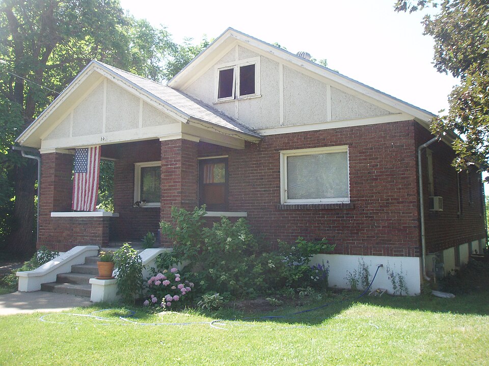
Listed on the National Register of Historic Places in 2004.
One of 75 National Register listings published here for Weber County · listed in 2004 · category: Building.
Sources: the case file at the National Archives · the National Register database, National Park Service
Regional context, not property-specific evidence. The federal wildfire occurrence database lists 133 fires within 5 miles of Stone Farmstead between 1992 and 2020, burning about 3,011 acres in total. 15 started naturally. 12 were recorded as arson. Distance is straight-line from the map coordinates, so a fire counted here may appear on a neighbouring settlement's page as well.
| Reported cause | Fires |
|---|---|
| Missing data/not specified/undetermined | 52 |
| Debris and open burning | 19 |
| Equipment and vehicle use | 16 |
| Natural | 15 |
| Arson/incendiarism | 12 |
| Recreation and ceremony | 9 |
| Fireworks | 3 |
| Railroad operations and maintenance | 2 |
| Misuse of fire by a minor | 2 |
| Smoking | 2 |
| Power generation/transmission/distribution | 1 |
The most recent of them, most recent first, with the day each was reported and the service that recorded it.
| Date | Cause | Size | Reported by | Name on the report |
|---|---|---|---|---|
| 8 September 2019 | Debris and open burning | 4.3 acres | Utah Division Forestry Fire State Lands | PIONEER ASSIST |
| 8 September 1993 | Missing data/not specified/undetermined | 1.0 acres | Utah Division Forestry Fire State Lands | 12TH STREET |
| 5 September 1996 | Natural | under an acre | Uinta-Wasatch-Cache National Forest | LEWIS PEAK |
| 28 September 1992 | Missing data/not specified/undetermined | under an acre | Utah Division Forestry Fire State Lands | JET WAY |
| 27 September 1992 | Missing data/not specified/undetermined | under an acre | Utah Division Forestry Fire State Lands | N. OGDEN |
| 20 September 2012 | Missing data/not specified/undetermined | under an acre | Utah Division Forestry Fire State Lands | OCTAGON FIRE |
| 20 September 2001 | Arson/incendiarism | under an acre | Utah Division Forestry Fire State Lands | OGDEN CANYON 4 |
| 17 September 2010 | Natural | under an acre | Uinta-Wasatch-Cache National Forest | RIDGE |
Regional context, not property-specific evidence. The federal mineral resources record lists 31 workings within 5 miles of Stone Farmstead: 16 prospects, 8 past producers, 5 producers, 1 occurrence. 5 still produce. What was taken out: Sand and Gravel, Construction, Fluorine-Fluorite, Brick Clay, Fire Clay (Refractory), Fire Clay (Refractory). Distance is straight-line from the map coordinates, so a quarry counted here may appear on a neighbouring settlement's page as well.
| Where | Site | Commodity | Status | Recorded |
|---|---|---|---|---|
| Harrisville Brick Deposit | Fire Clay (Refractory) | Producer | ||
| Harrisville Brick Plant Deposit | Brick Clay, Fire Clay (Refractory) | Past Producer | Unconsolidated Sediments | |
| Ogden Hot Springs | Geothermal | Unknown | ||
| Norman Fluorspar Deposit | Fluorine-Fluorite | Past Producer | 1953, 1957 | |
| Norman Fluorspar Deposit | Fluorine-Fluorite | Prospect | ||
| Norman Mine | Fluorine-Fluorite | Occurrence | Fluorite | |
| Norman Mine | Fluorine-Fluorite | Past Producer | 1953 | |
| Dereice Balls Sand and Gravel Pits | Sand and Gravel, Construction | Producer | ||
| Ut Dept of Hwys Pit #29007 | Sand and Gravel, Construction | Prospect | ||
| Ut Dept of Hwys Pit #29008 | Sand and Gravel, Construction | Prospect |
Regional context, not property-specific evidence. The National Weather Service names Ogden, the town this property stands in, in 24 storm reports between 1994 and 2026: 13 thunderstorm wind, 5 hail, 2 tornado, 2 lightning. The reports record 8 injuries. Each account below is quoted exactly as the forecast office filed it, from the NOAA Storm Events Database, and each date opens the federal record of that event.
| When | Event | Place named | Harm | What the report says |
|---|---|---|---|---|
| August 1998 | Tornado (F1) | Ogden | 6 hurt, $10,000 | no account filed |
| May 1996 | Tornado (F1) | North Ogden | 1 hurt, $600,000 | no account filed |
| May 1999 | Lightning | South Ogden | 1 hurt | A UTA bus driver was waiting outside his bus for passengers in South Ogden when it started to rain. As he put up his umbrella a nearby bolt of lightning glanced his umbrella and shot down through his right arm He felt a burning sensation in his body and after driving a mile he decided to get medical attention. His injuries turned out to be very minor for this lucky man. |
| August 2003 | Thunderstorm Wind | South Ogden | $100,000 | Severe thunderstorms blew through Weber County from South Ogden to Liberty, producing damaging winds, hail and heavy rain. Trees were reported down on a home and cars in Ogden, along with basement flooding of homes and some businesses. Trees in Liberty were toppled, with .83 inches of rain reported in 10 minutes. |
| August 1998 | Thunderstorm Wind | Ogden | $100,000 | no account filed |
| August 2003 | Lightning | North Ogden | $15,000 | Lightning struck the roof of a residence in North Ogden, burning four holes and traveling 30 feet to start a house fire. |
| June 2007 | Thunderstorm Wind | Ogden | $10,000 | A 63 knot wind gust was measured at the Ogden Airport ASOS, and at least a dozen power poles were knocked down, along with a number of trees. |
| August 2005 | Flash Flood | South Ogden | $5,000 | Local streets and 2 homes had flooded basements along with minor wind damage from a thunderstorm |
| June 2002 | Thunderstorm Wind | South Ogden | $1,000 | no account filed |
| July 2023 | Thunderstorm Wind | South Ogden | $500 | In South Ogden, 6-inch tree limbs were snapped off. |
| April 2026 | Thunderstorm Wind | South Ogden | - | A trained spotter reported broken tree branches knocked down by severe wind gusts from a thunderstorm near the Ogden Country Club. |
| April 2026 | Thunderstorm Wind | South Ogden | - | A trained spotter discovered multiple snapped trees from severe wind gusts associated from a thunderstorm within Leavitts Mortuary and Aultorest Memorial Park in Ogden. |
| April 2026 | Thunderstorm Wind | South Ogden | - | A trained spotter reported that a street light was knocked over by severe wind gusts associated with a thunderstorm. |
| May 2021 | Hail | North Ogden | - | Nickel-sized hail fell in North Ogden. |
| September 2021 | Thunderstorm Wind | Ogden | - | The Ogden-Hinckley Airport automated weather station recorded a peak wind gust of 59 mph. |
| April 2010 | Hail | North Ogden | - | Hail with a diameter of 0.75 inches was reported near North Ogden, with the hail accumulating 2 to 3 inches deep. |
| August 2007 | Hail | North Ogden | - | Hail with a diameter of 0.75 inches fell in North Ogden. |
| July 2006 | Thunderstorm Wind | Ogden | - | Power lines down in Ogden and South Ogden |
| August 2003 | Hail | North Ogden | - | Thunderstorms dumped 3/4 inch hail in and around North Ogden. |
| June 2001 | Thunderstorm Wind | South Ogden | - | Dry Microburst wind gusts to 60 mph (52 kts) were recorded in South Ogden. Winds from the same cell knocked over several large tents set up at Hill AFB for an air show. |
| August 1999 | Funnel Cloud | North Ogden | - | A funnel cloud was spotted near Ben Lomond in Weber County. |
| May 1998 | Hail | Ogden | - | no account filed |
| April 1998 | Thunderstorm Wind | Ogden | - | no account filed |
| May 1994 | Thunderstorm Wind | South Ogden | - | no account filed |
No historic map-sheet match is published for this property yet. That does not mean no map exists. This record needs a coordinate-quality review before it can be joined to a sheet boundary. Browse the county's mapped places while that work is pending.
Other National Register properties close enough to walk or drive between, ordered by distance from this one. Both positions come from the same geocoding pass that matched these properties to their map sheets.
| Photograph | Property | Distance | Listed |
|---|---|---|---|
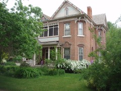 | Charles W. Cross House | 1.8 miles | 1984 |
 | Dumke, John F., and Lillia, House | 2.0 miles | 2007 |
 | Ogden Union Stockyard Exchange Building | 2.1 miles | 2015 |
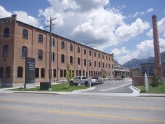 | American Can Company of Utah Building Complex | 2.3 miles | 2005 |
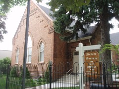 | Weber Stake Relief Society Building | 2.3 miles | 1989 |
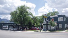 | Mountain View Auto Court | 2.3 miles | 1987 |
| National Archives record | The nomination case file for reference 04000676 in Record Group 79. |
| Weber County | All 75 listed properties in this county. |