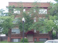
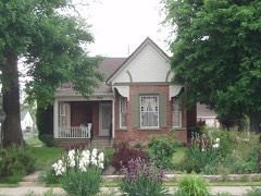
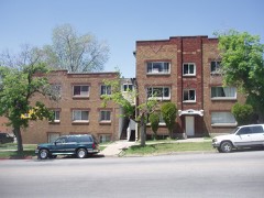
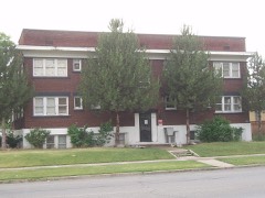
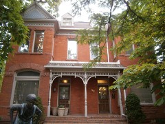
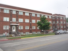
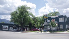
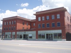
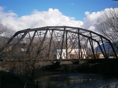
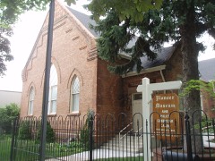
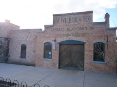
Block
From the record
75 National Register listings published here.
Sources: the National Register database, National Park Service
88 topographic sheets and 6 fire insurance atlases across 1 place.
75 National Register listings published here.
Sources: the National Register database, National Park Service
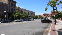
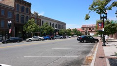
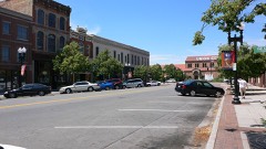
Taken for the Office of War Information and the Farm Security Administration, who photographed the country between 1935 and 1944. Works of United States government photographers, with no known restriction on use. Each opens its catalogue record.

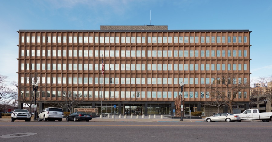
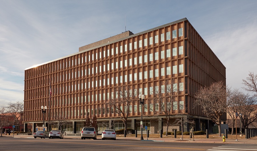
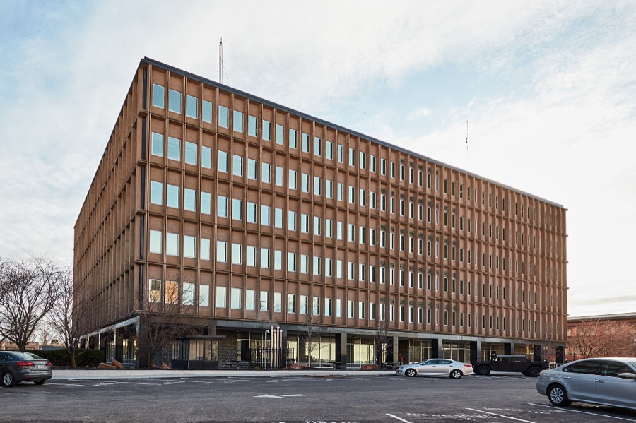
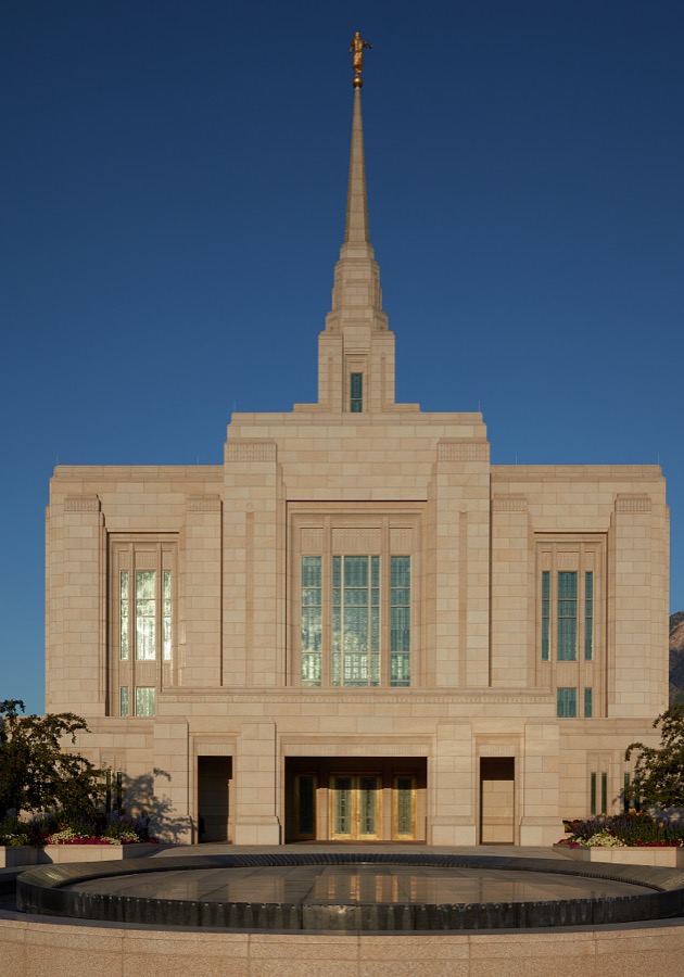
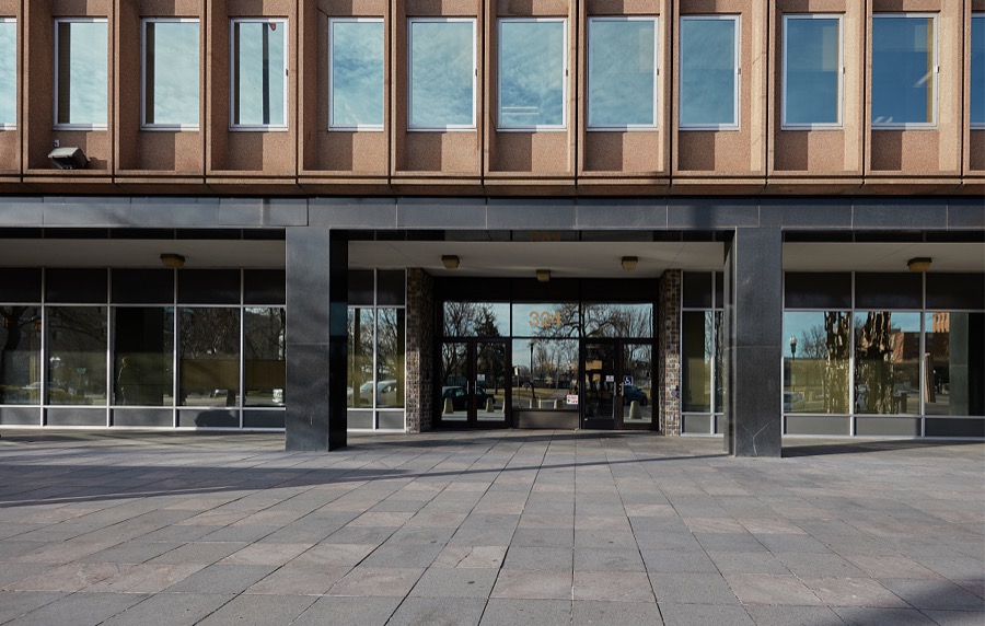
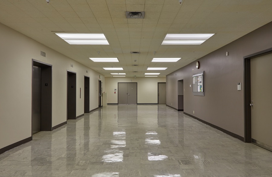
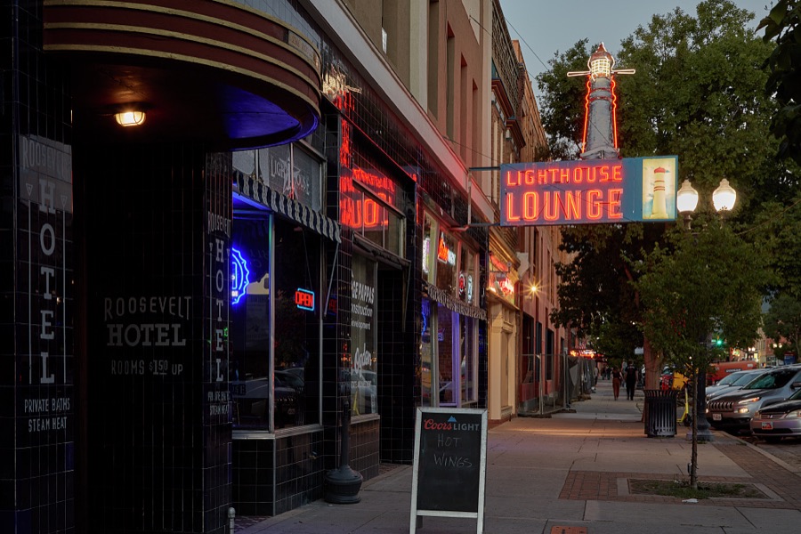
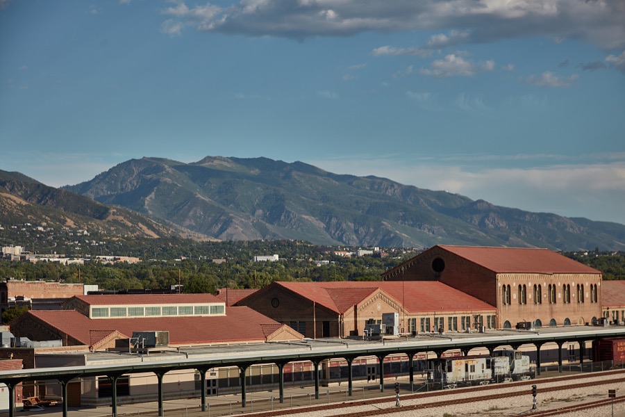
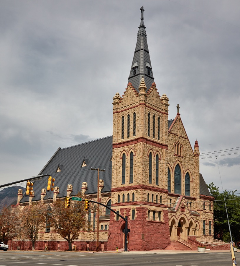
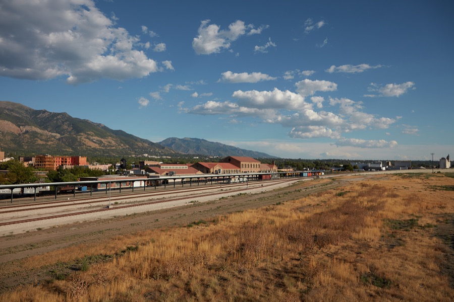

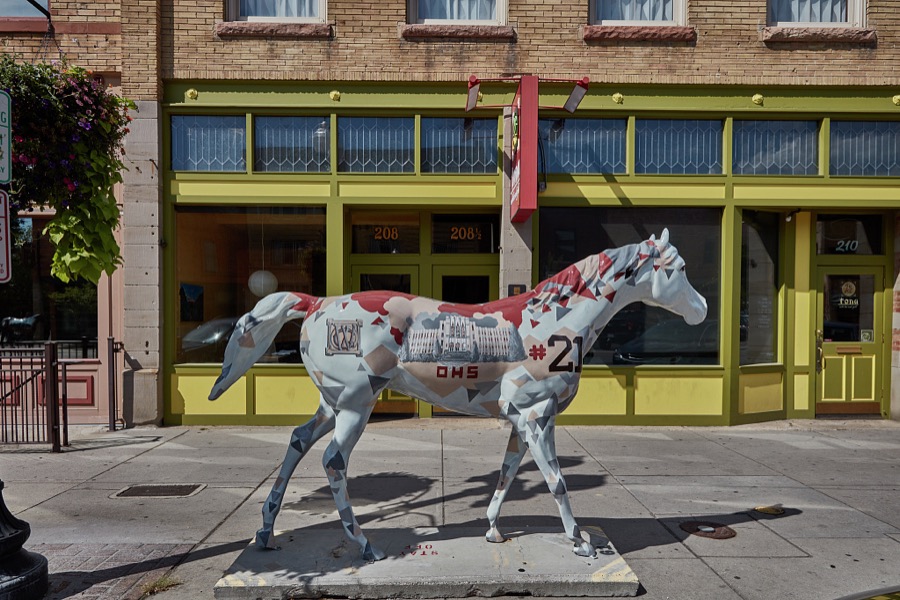
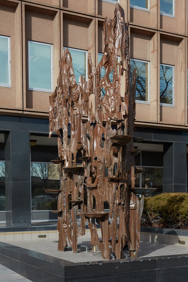
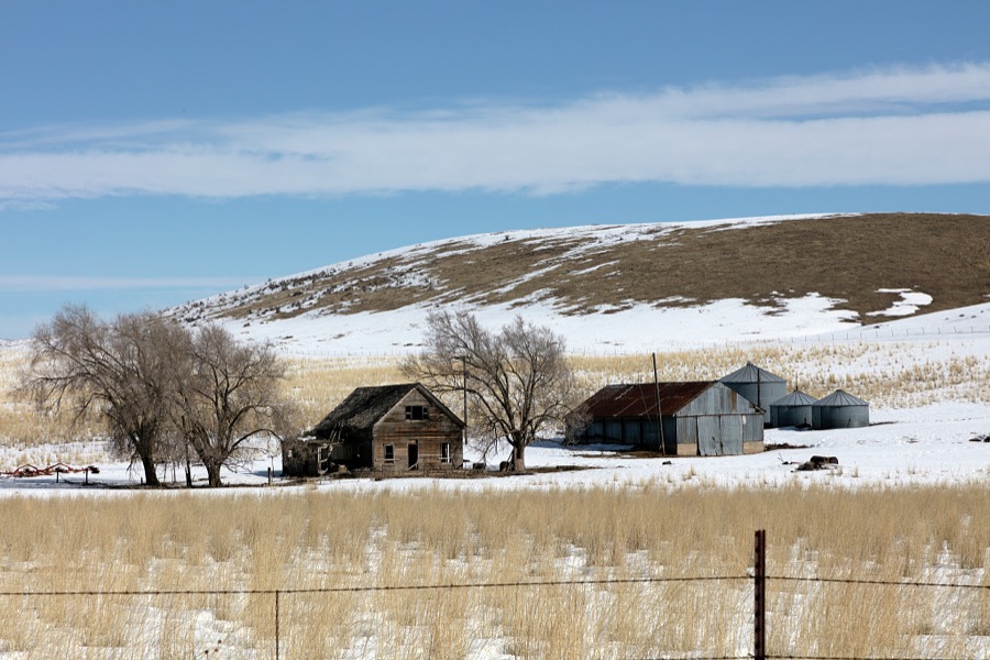
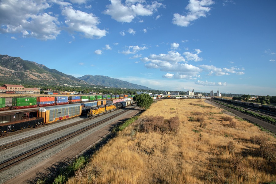
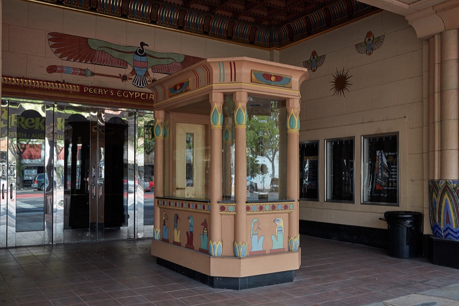
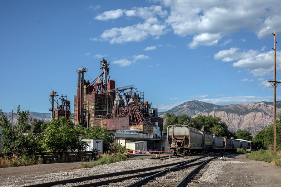
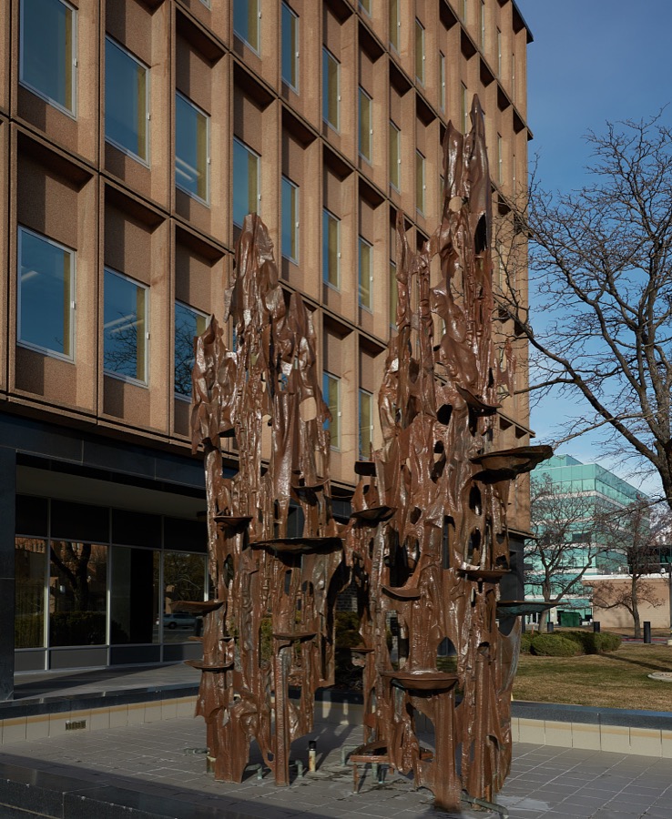
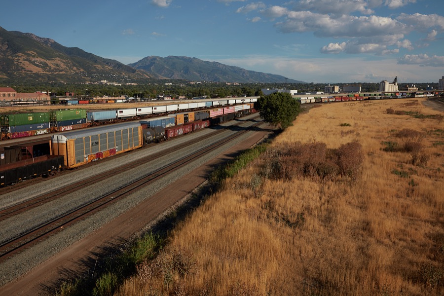
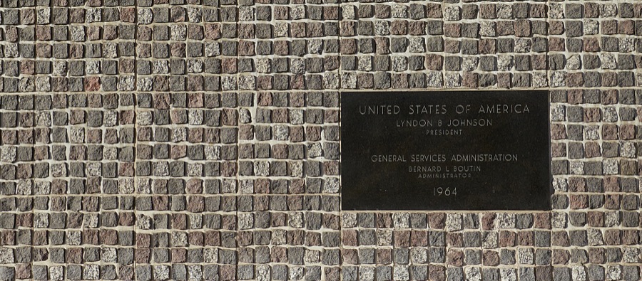

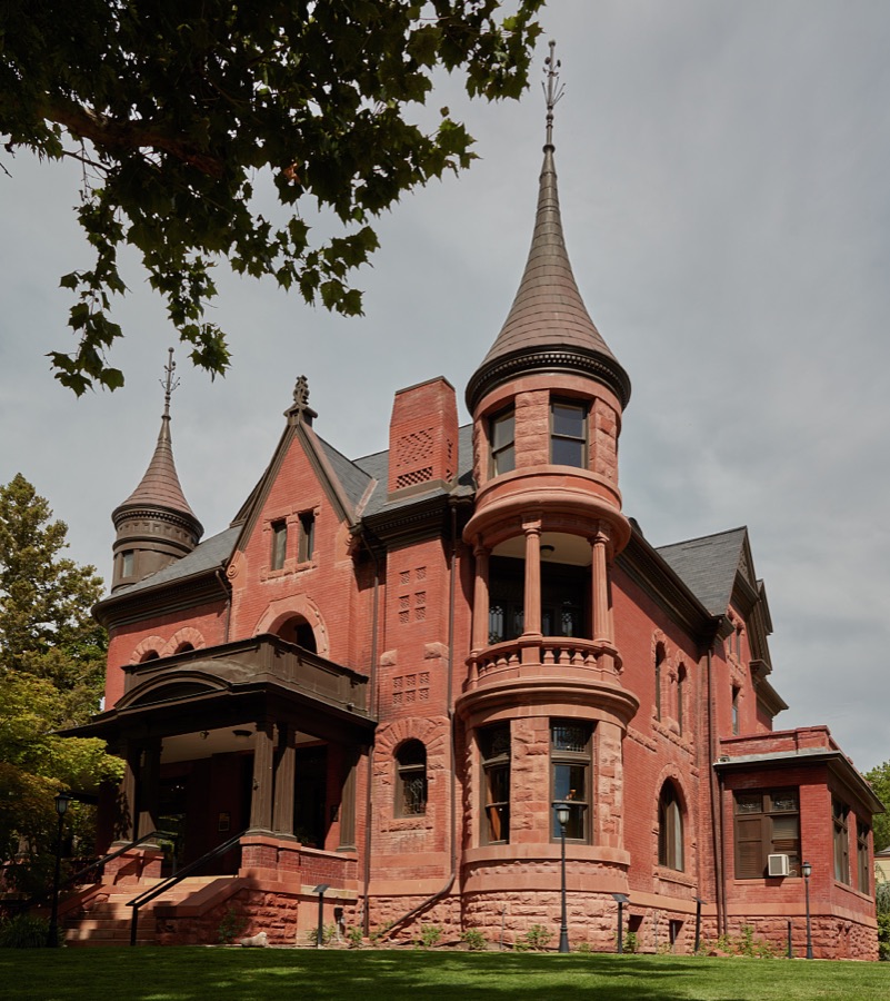
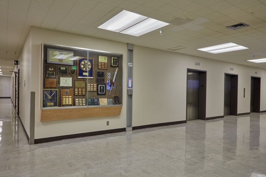
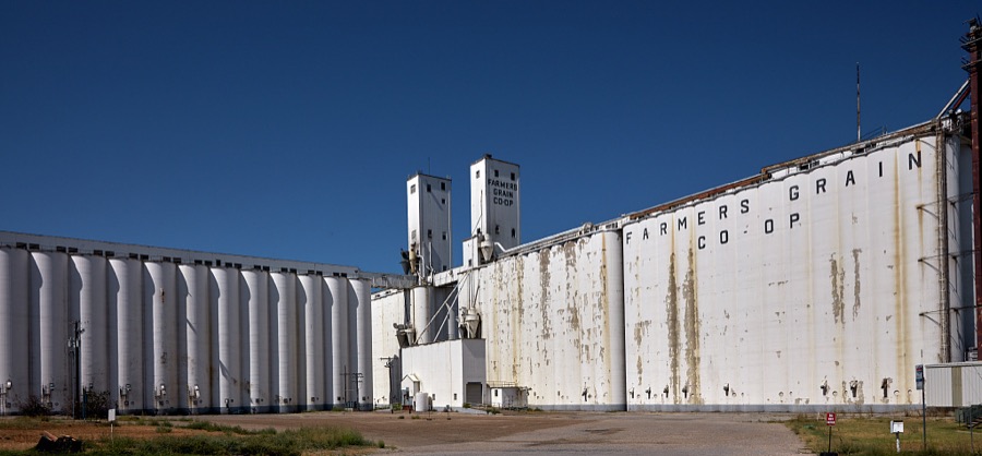
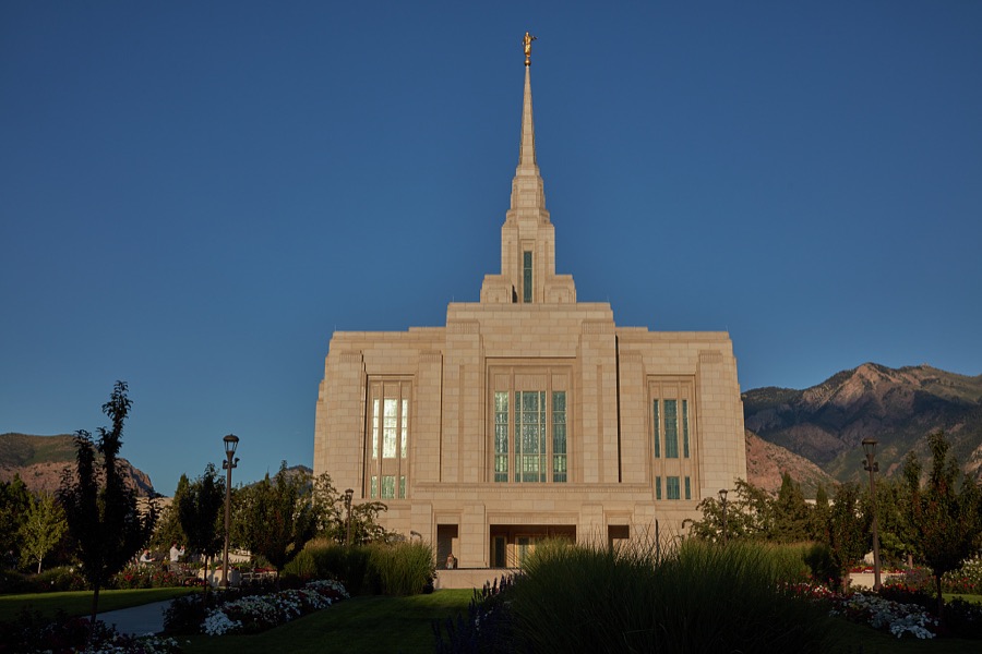

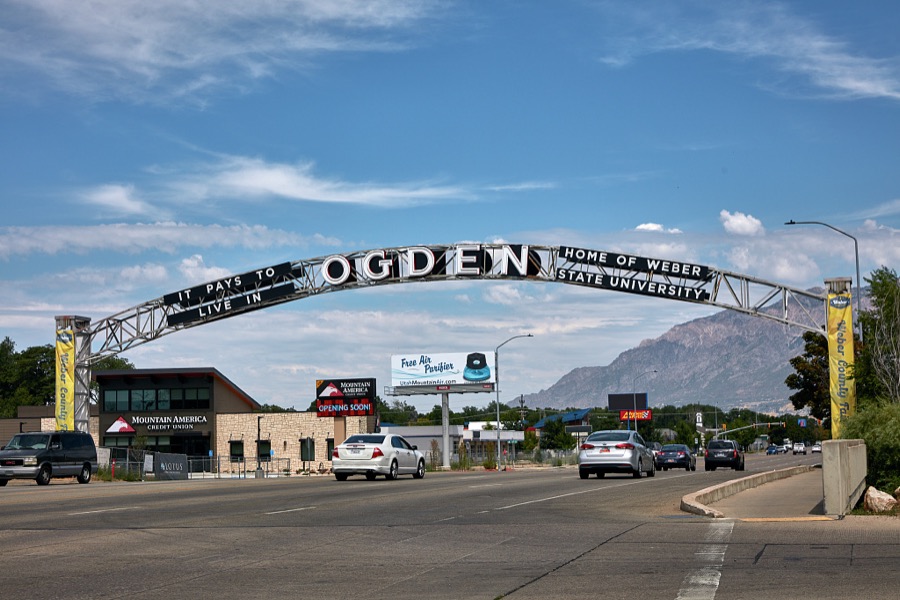
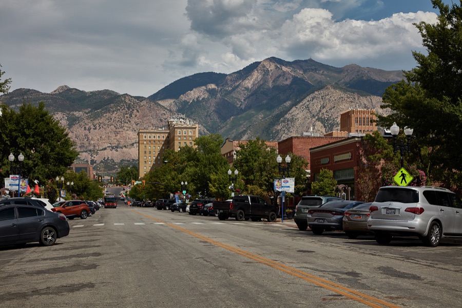
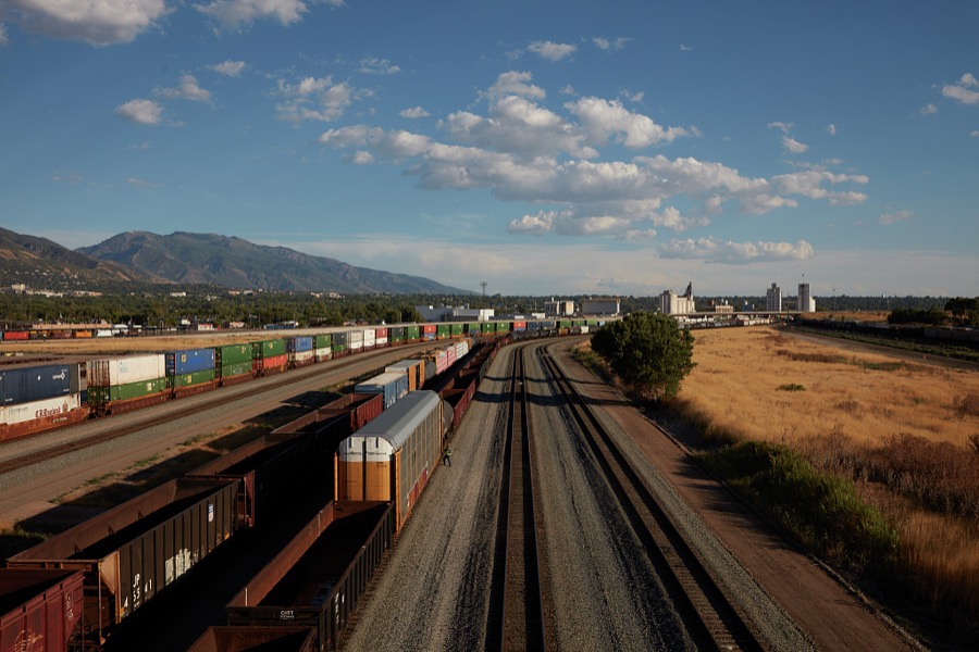
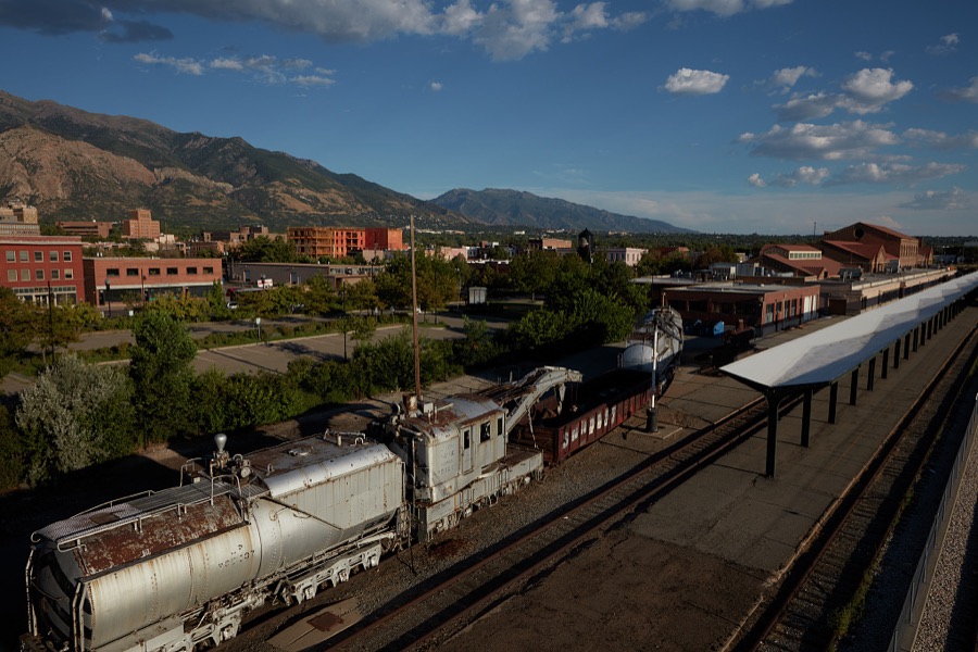
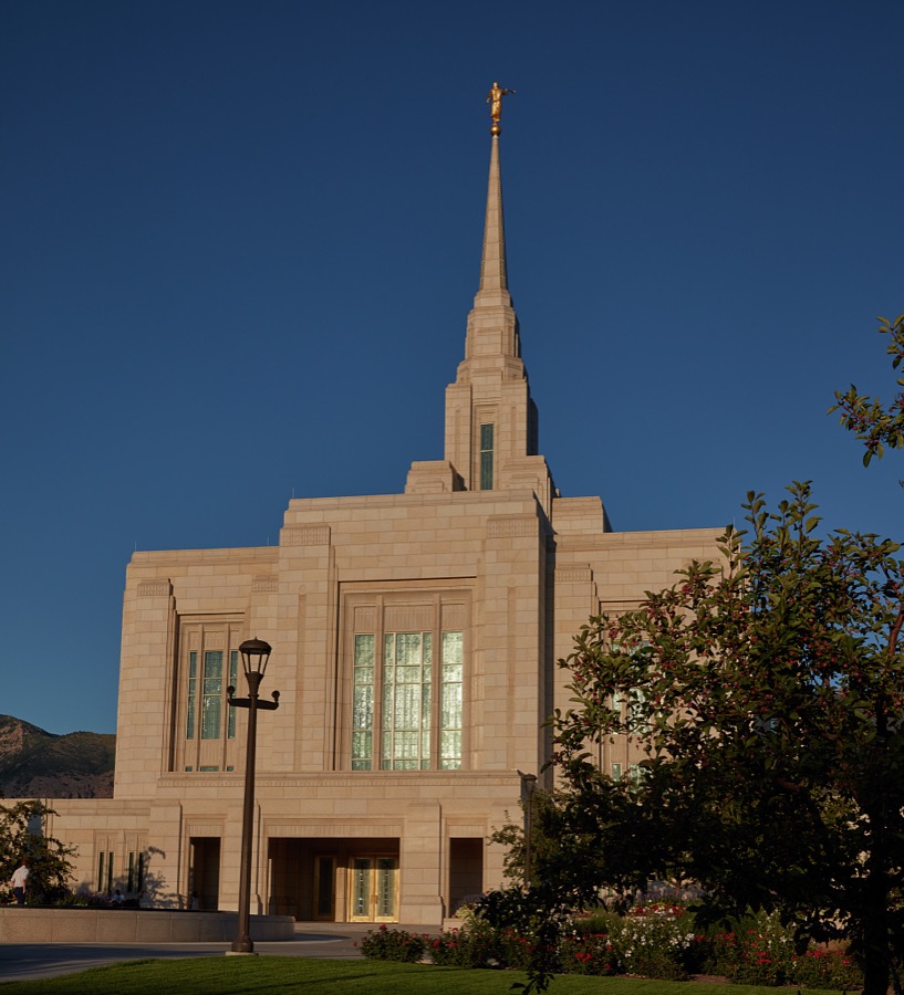
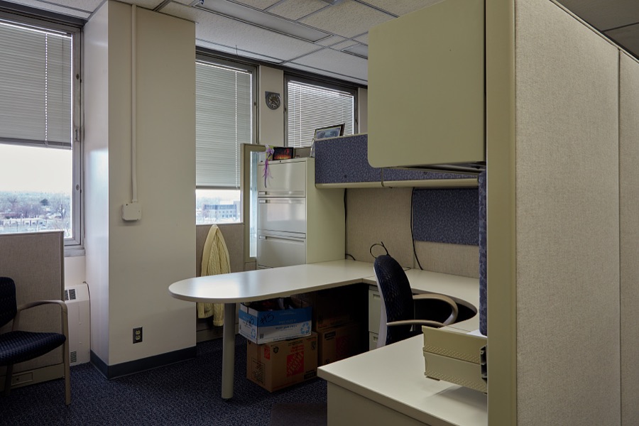
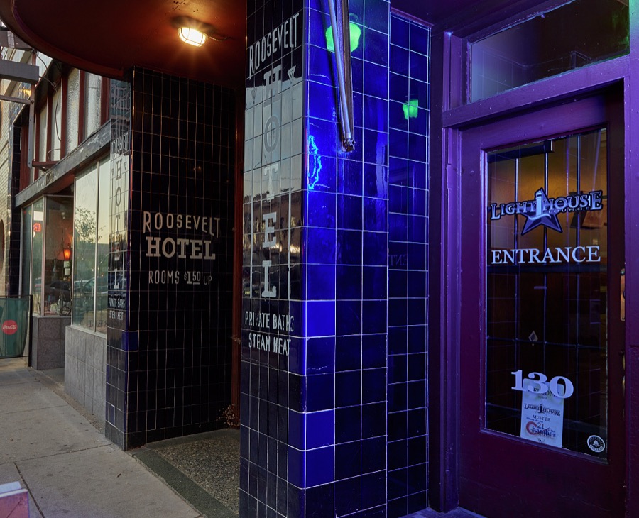
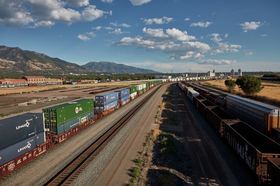
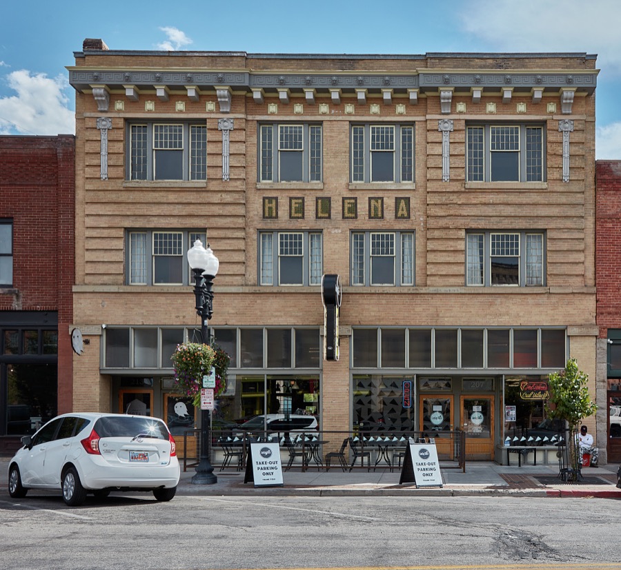
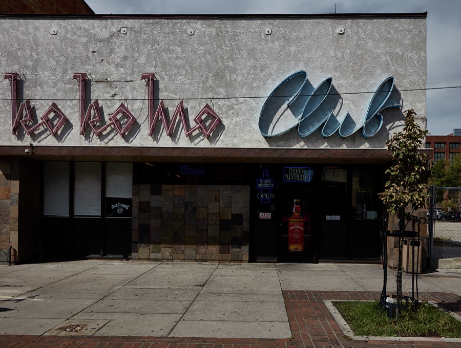
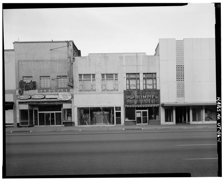
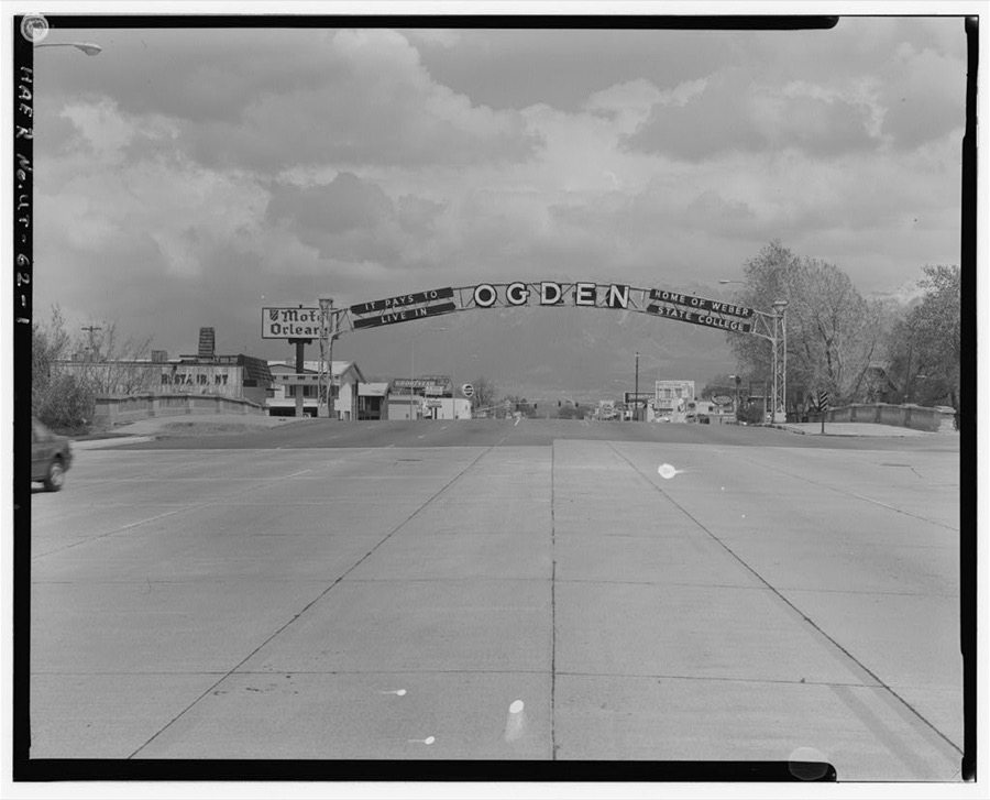
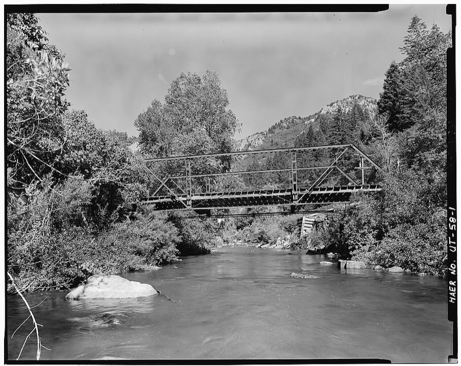
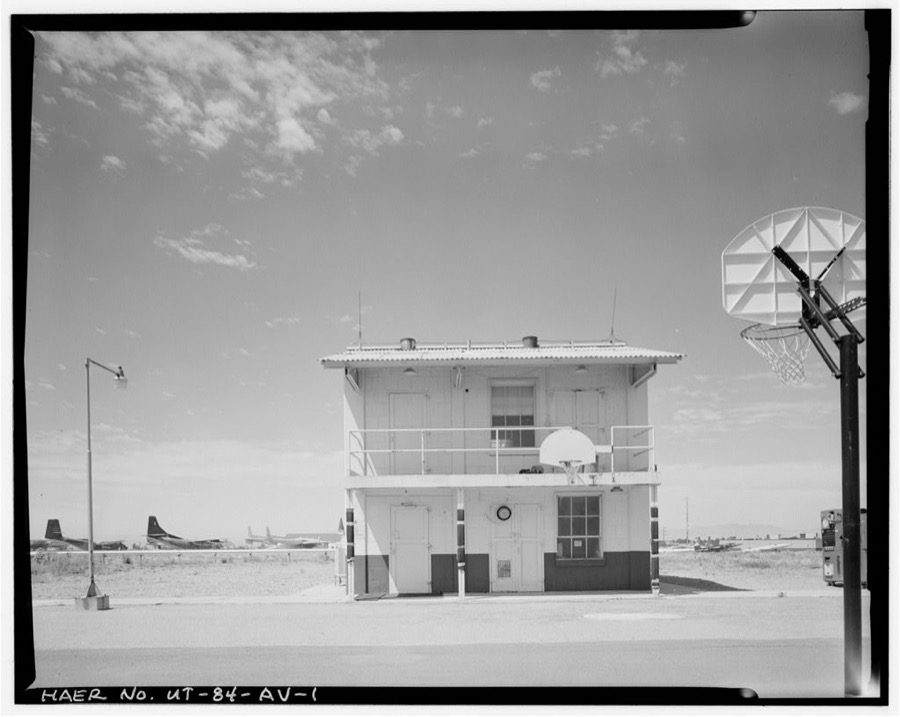
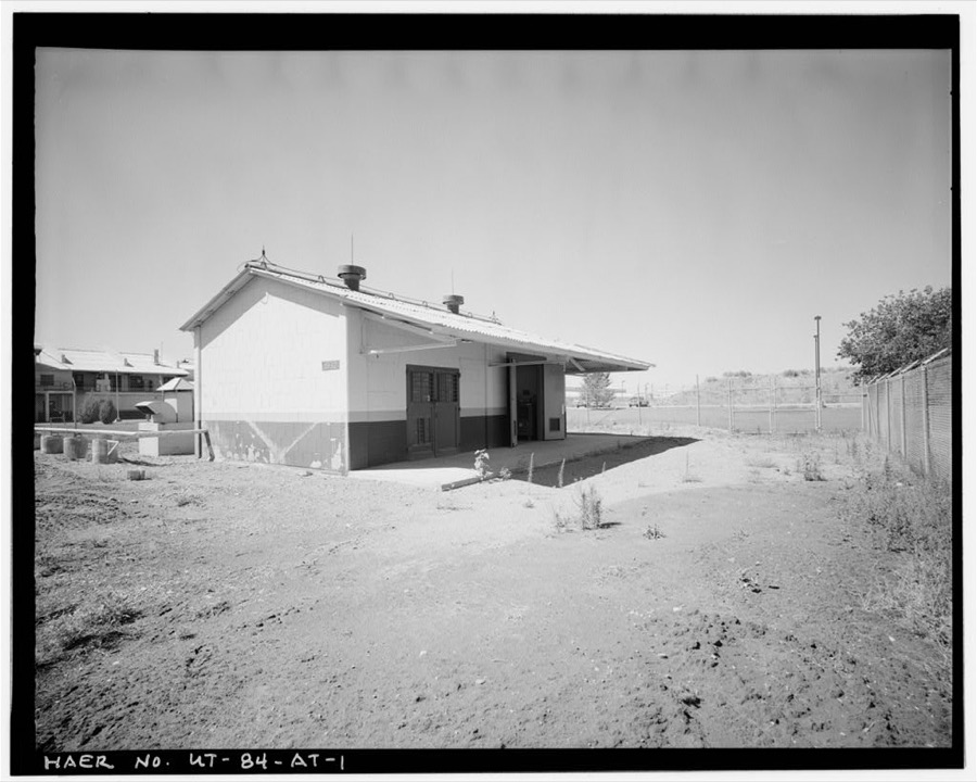
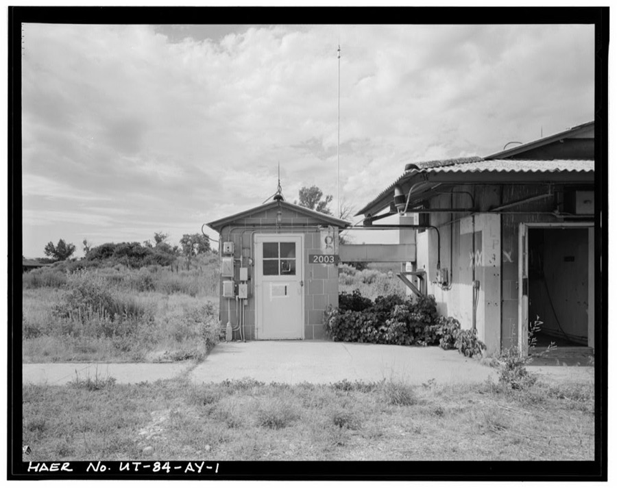
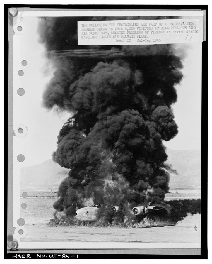
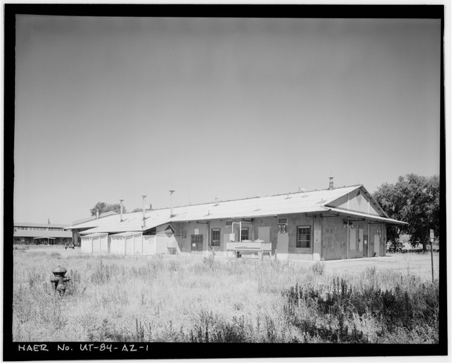
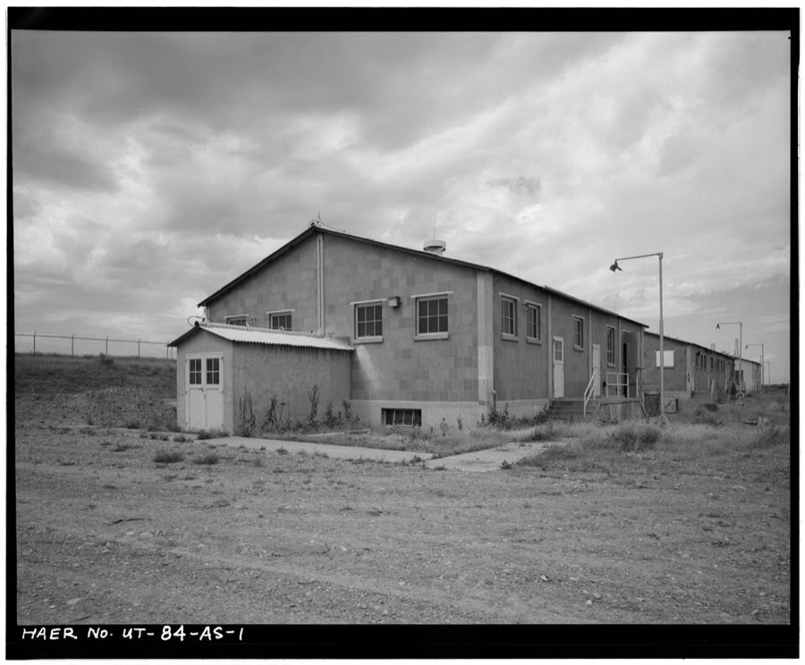
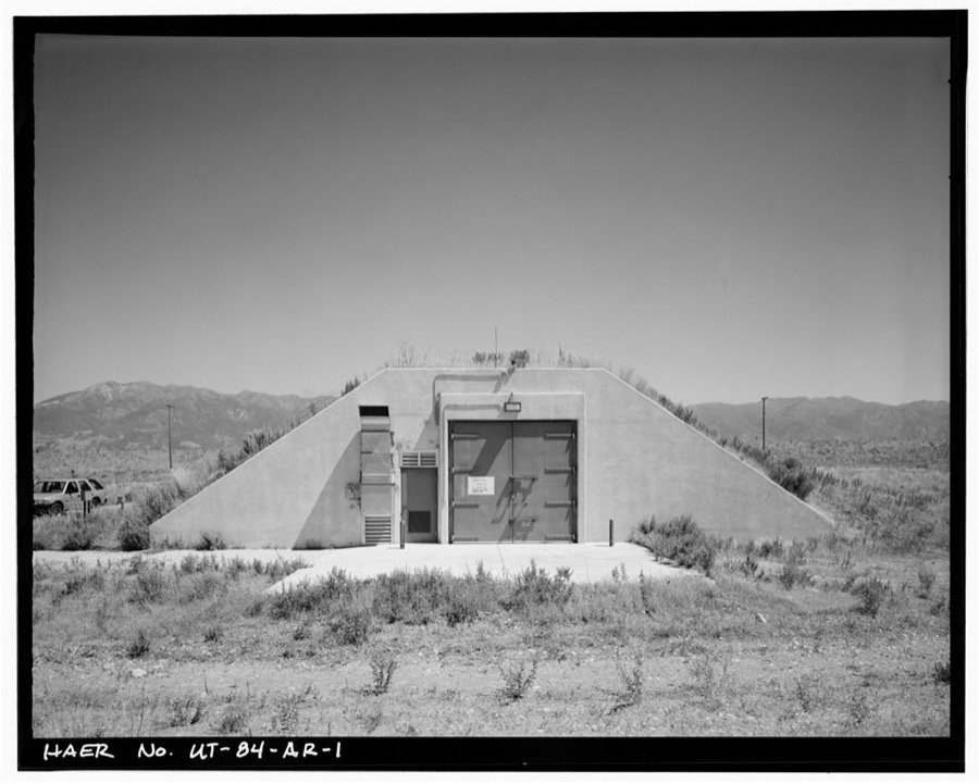
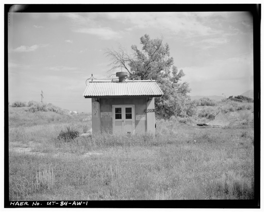
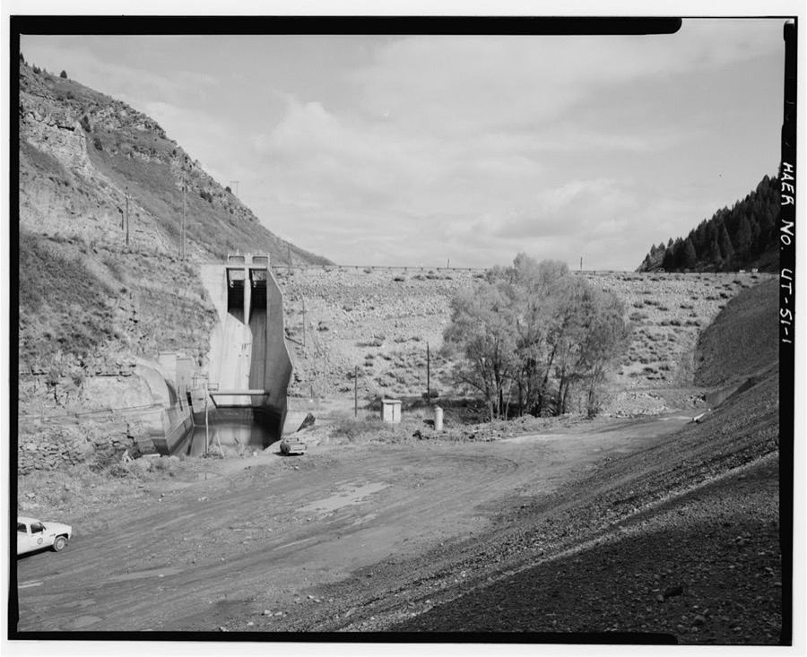
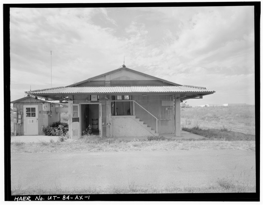
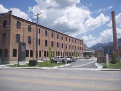
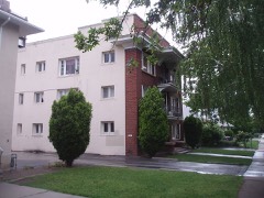
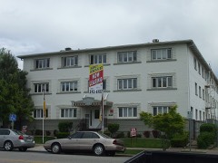
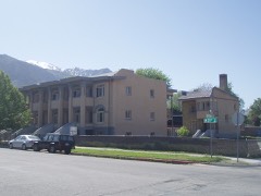
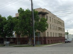
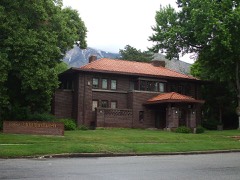
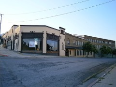
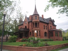
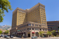
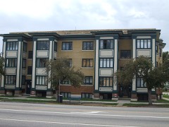
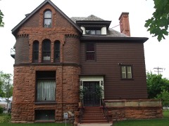
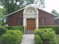
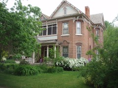
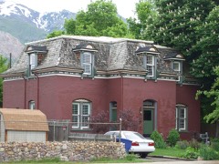
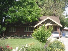
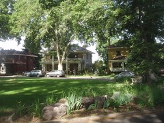
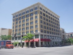
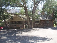
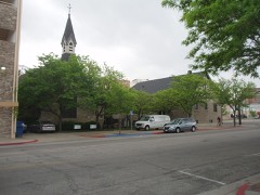
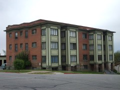
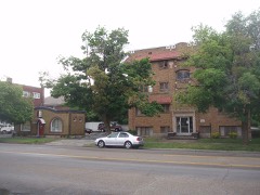
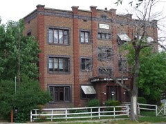
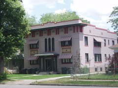
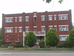
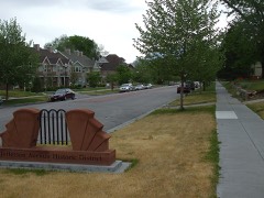
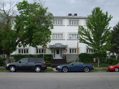
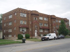
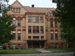
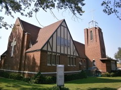
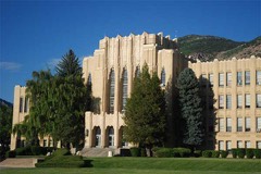
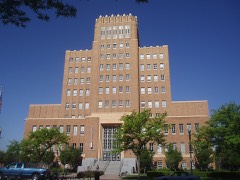
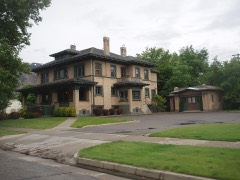
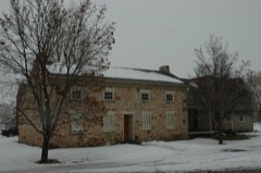
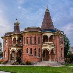
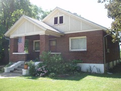
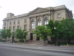
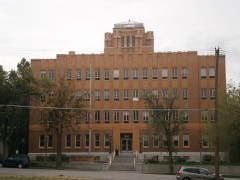
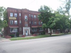
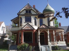
Every property in this county listed on the National Register of Historic Places, with the year it was listed and the federal nomination document.
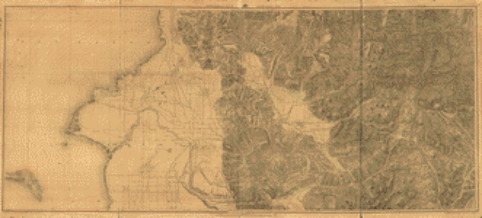
Drawn when these were printed as single large sheets: the town seen from the air, and the county divided into its farms with every owner named. Each opens the original at the Library of Congress.
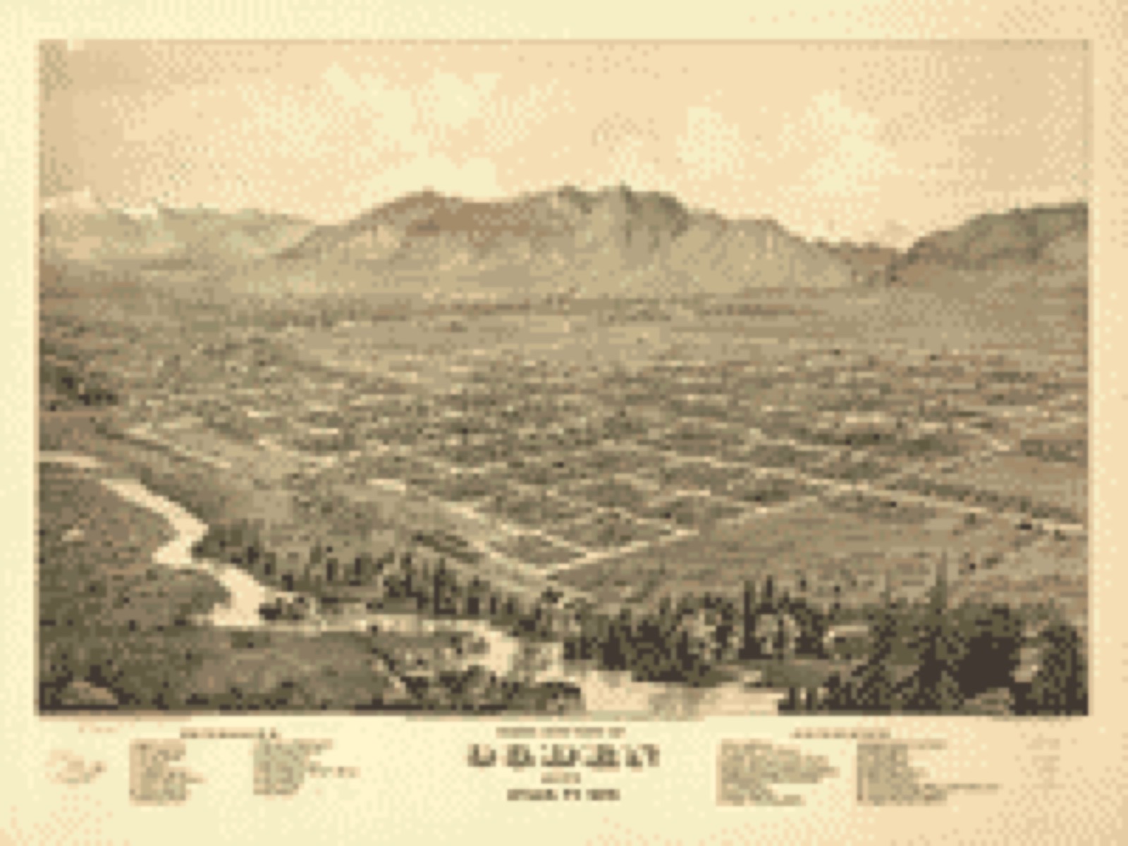
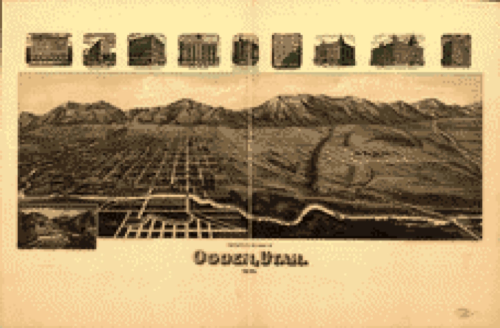
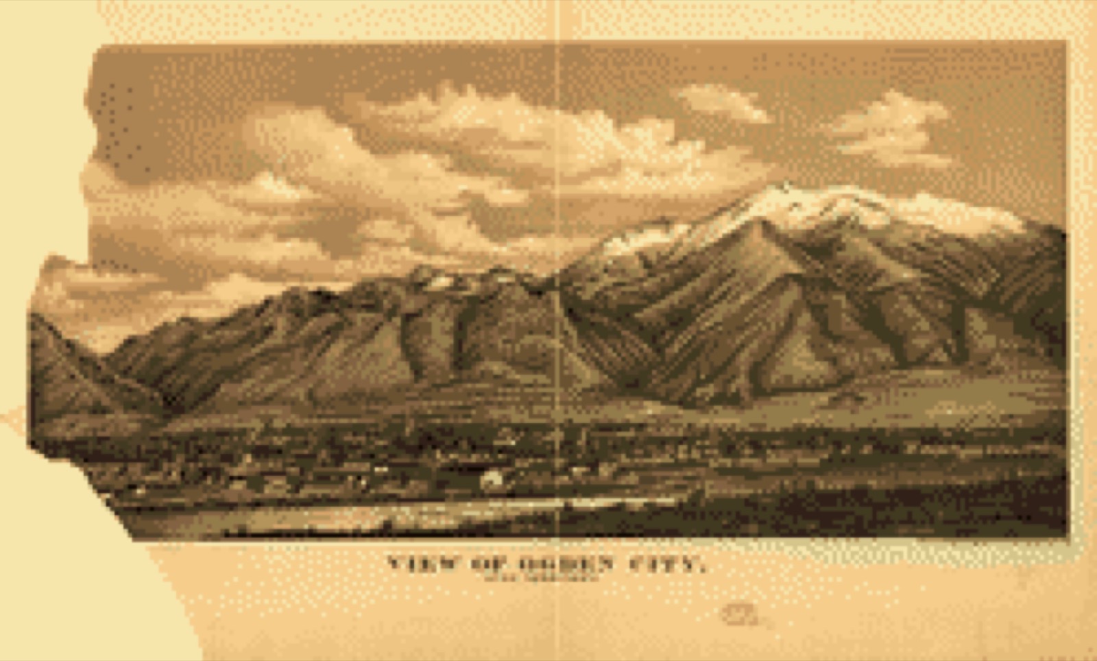
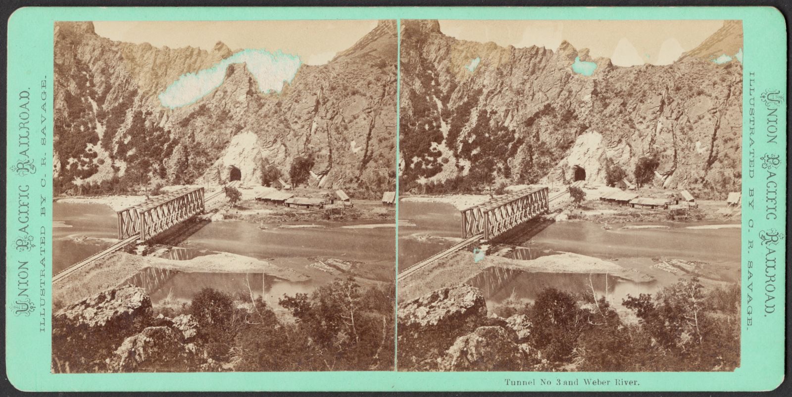
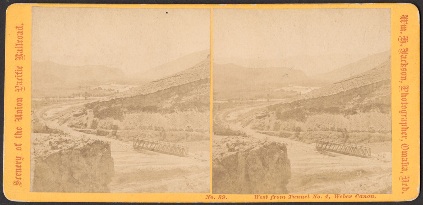
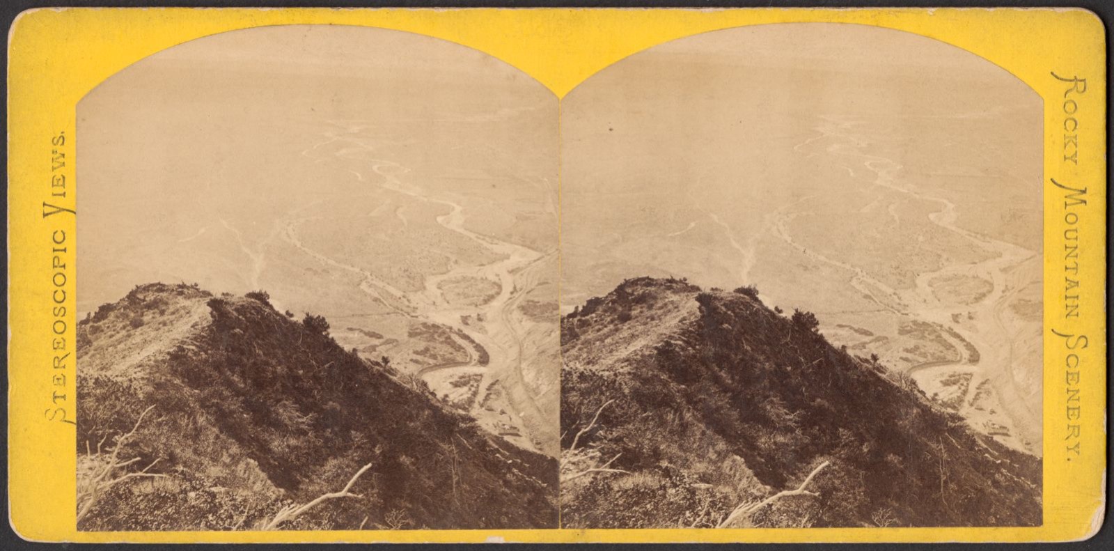
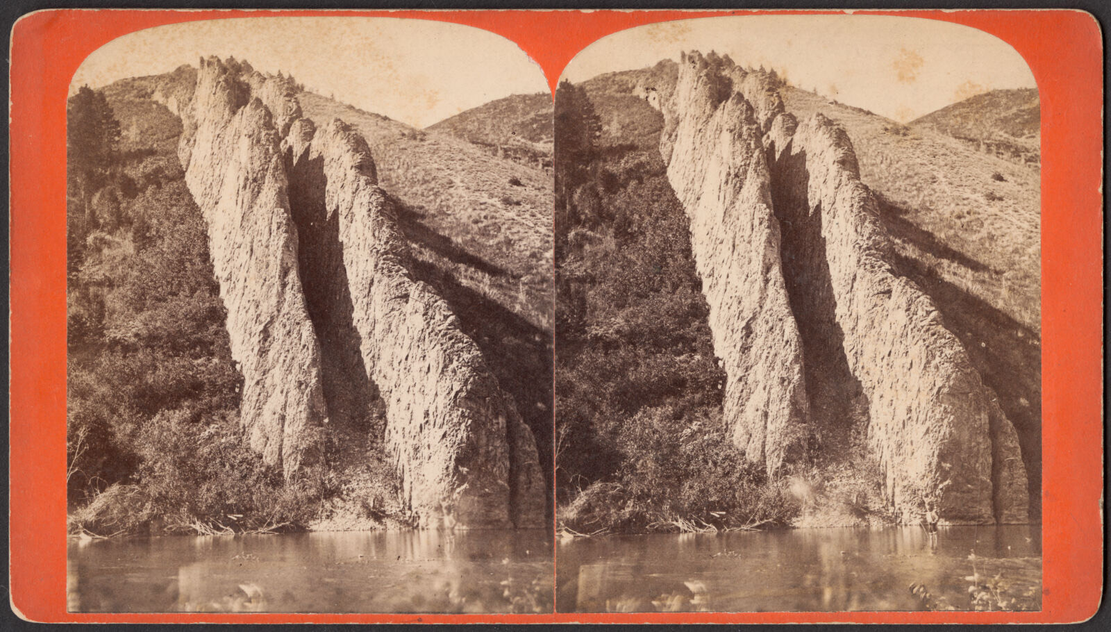
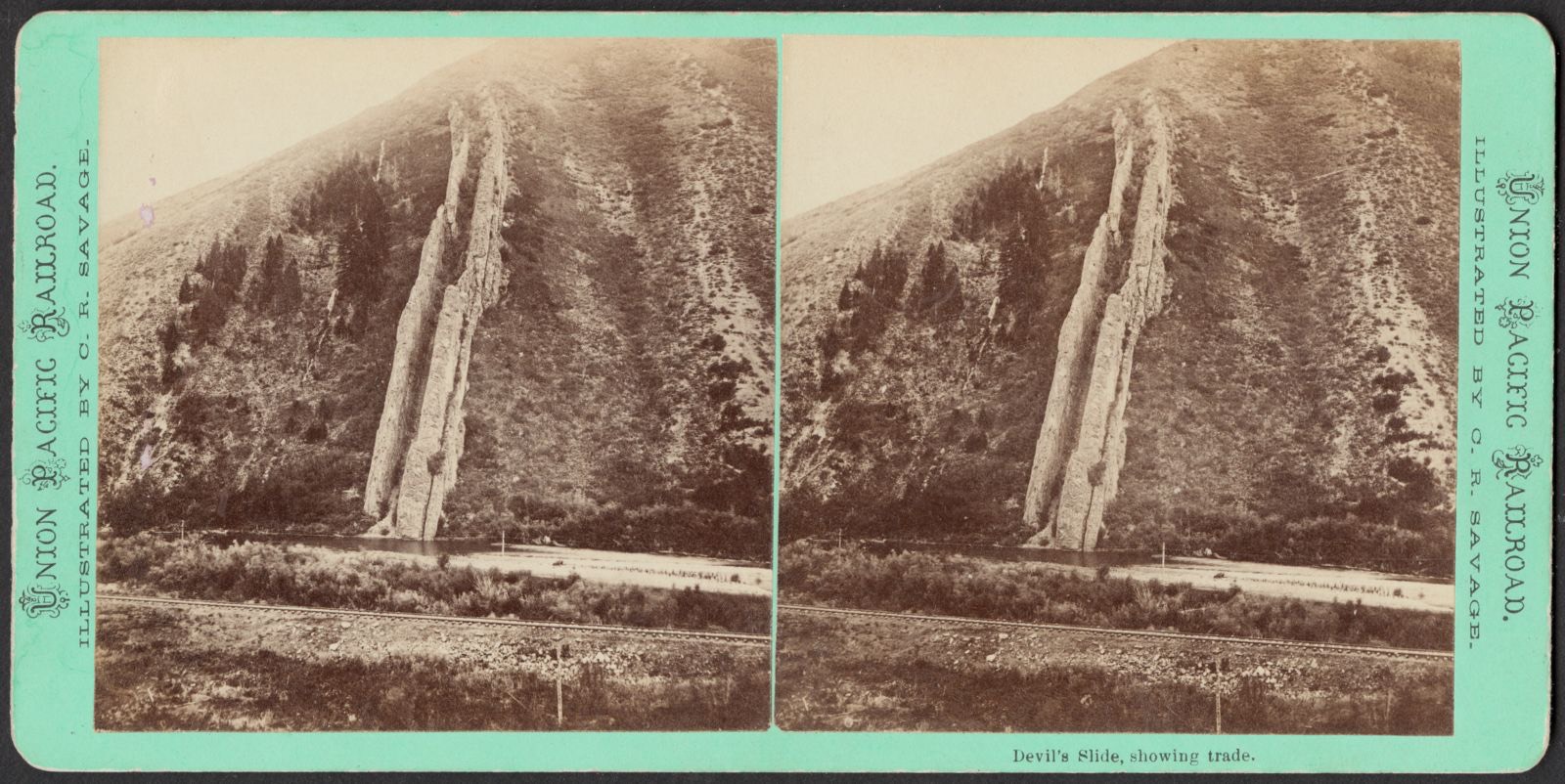
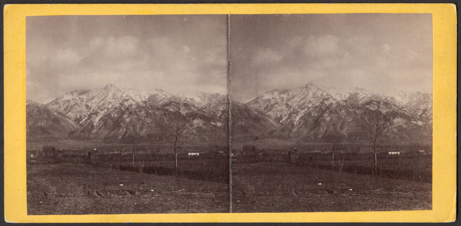
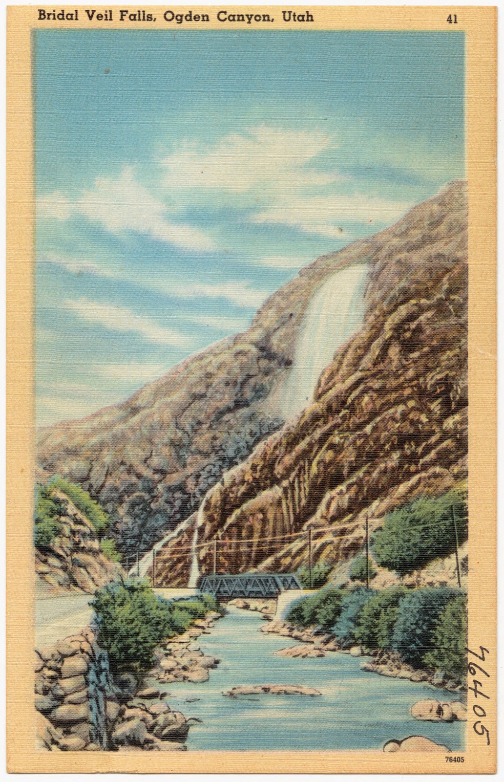
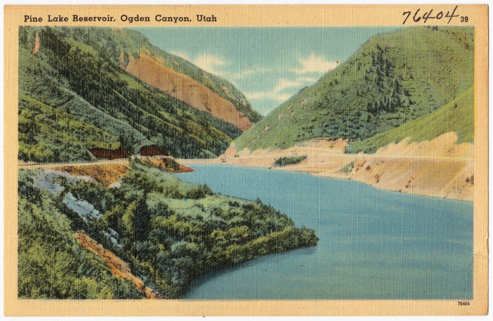
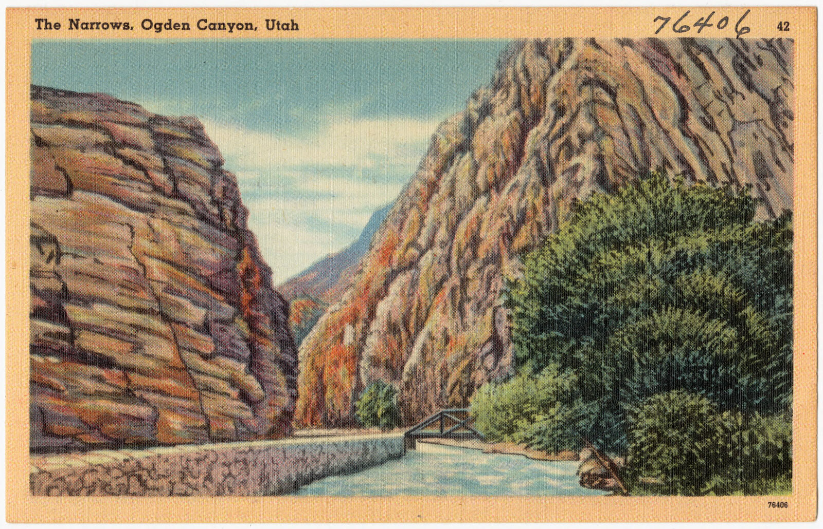
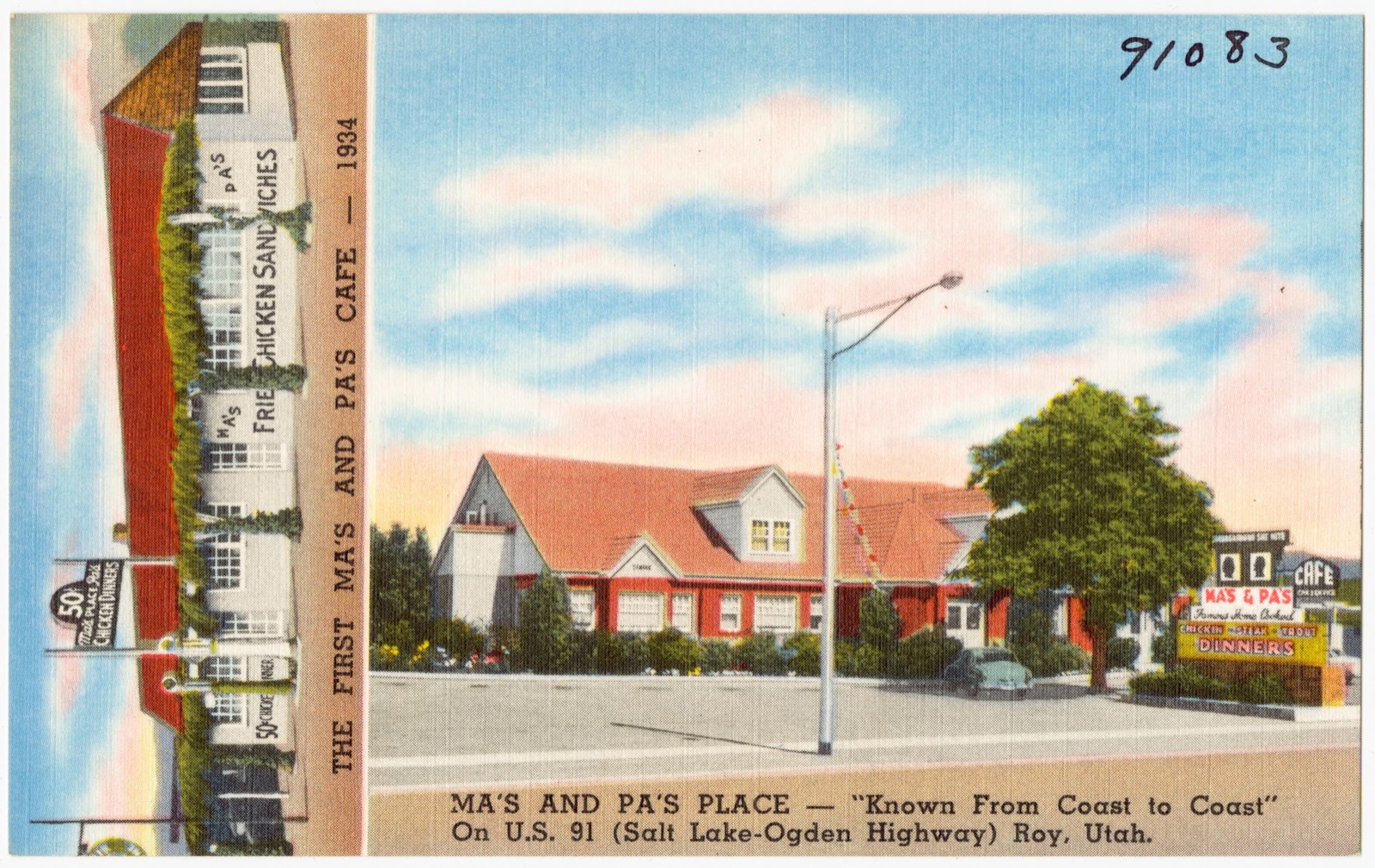
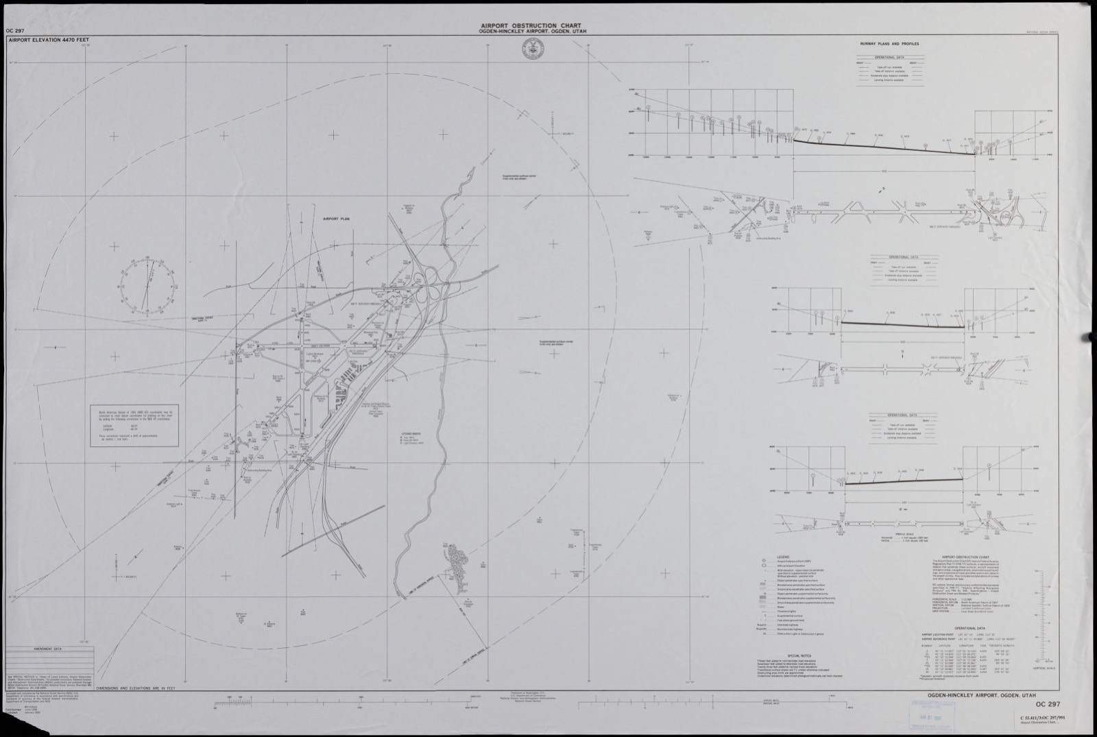
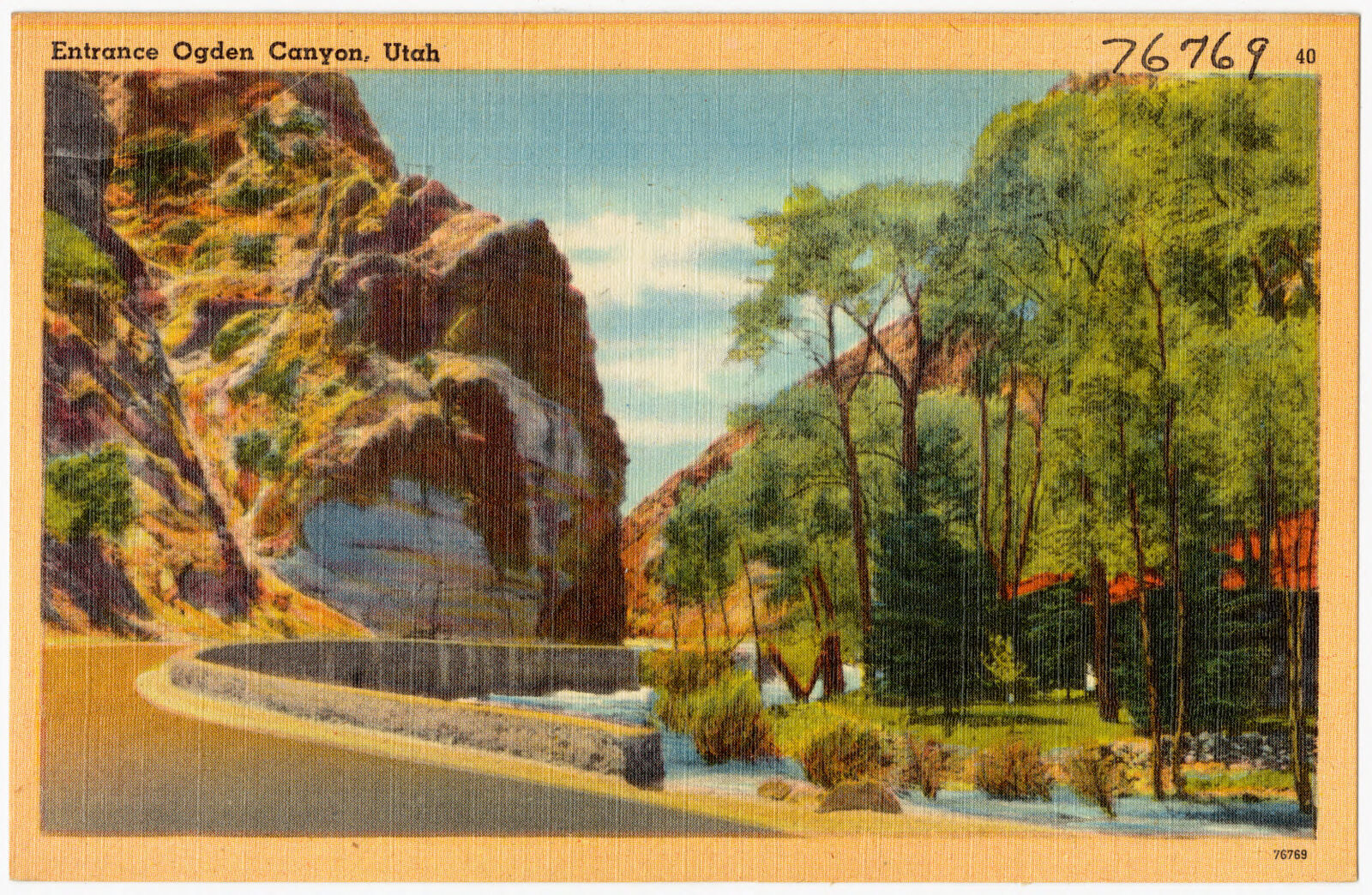
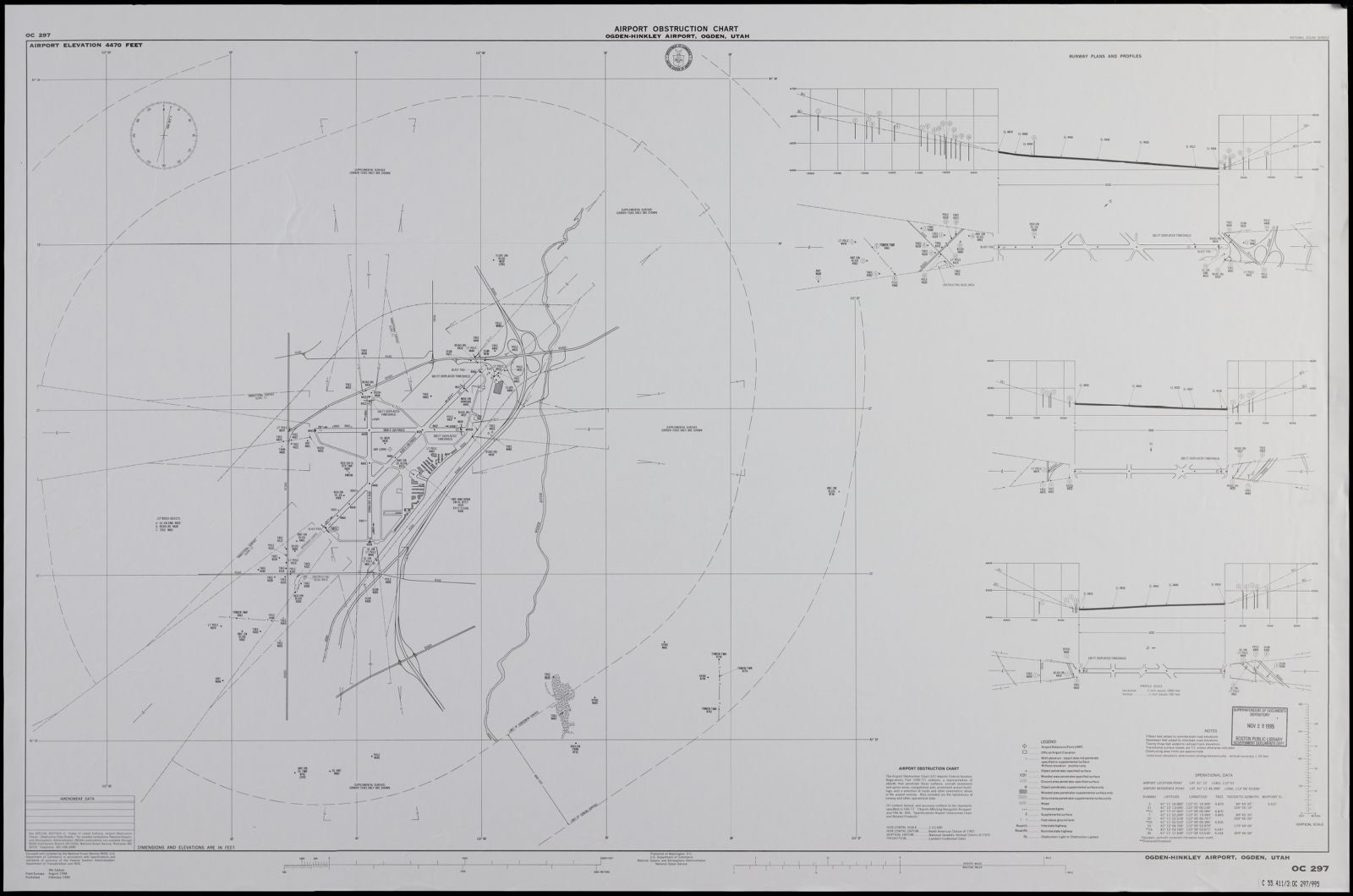
Selected from the Digital Public Library of America's 24 image records catalogued for this county. Every one shown here carries a public-domain status or a licence that permits reuse on a site that carries advertising; non-commercial, share-alike and restricted images are excluded. The selection is spread across the county's towns (at most eight per town), so no single institution's bulk upload crowds out the rest. Each opens the holding library's record, and the complete set at the Digital Public Library of America is one click away.
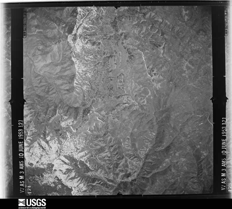
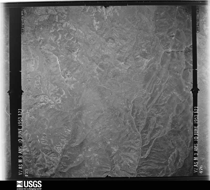
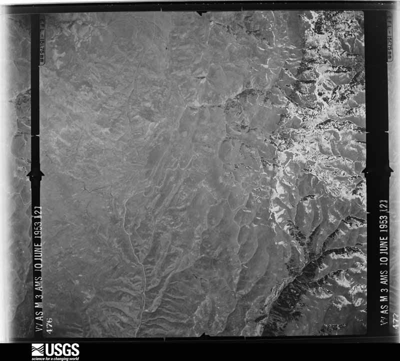
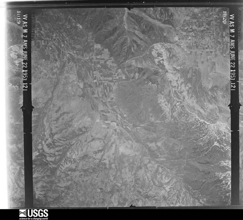
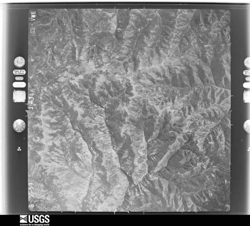
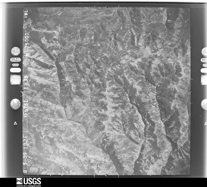
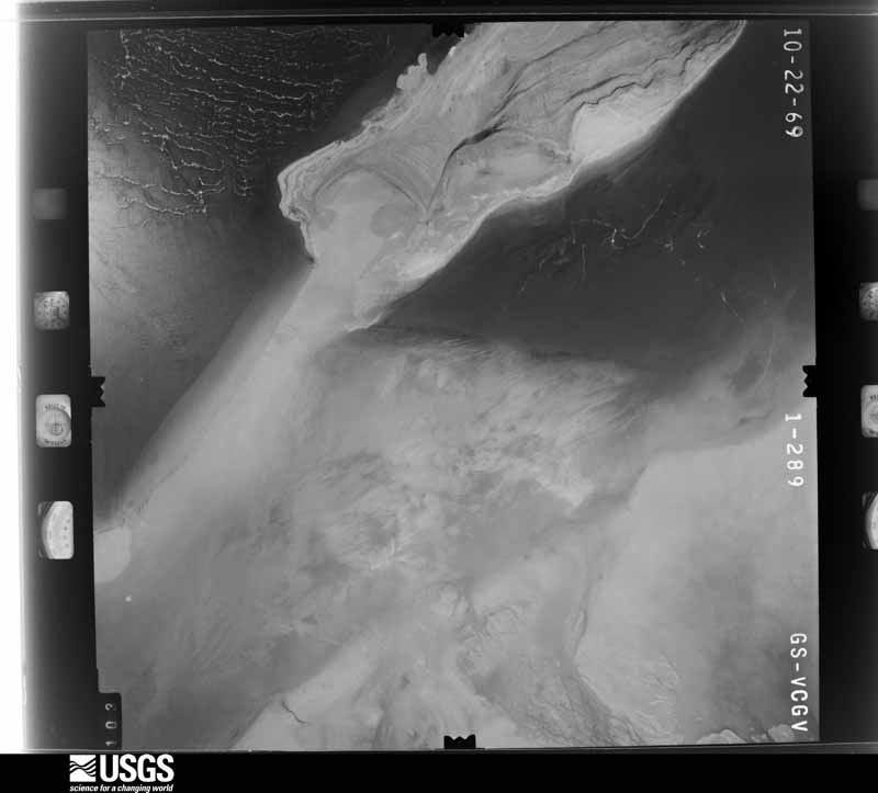
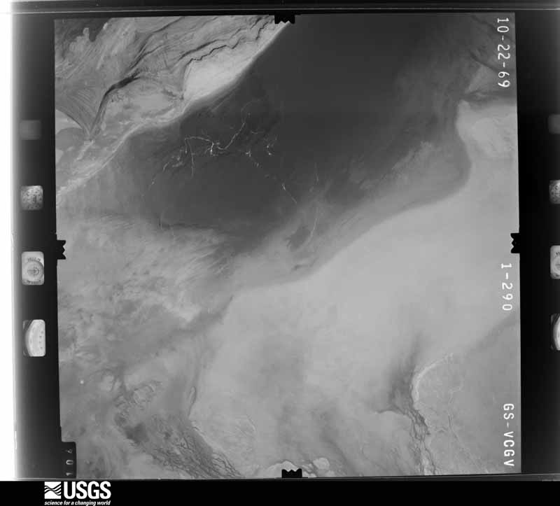
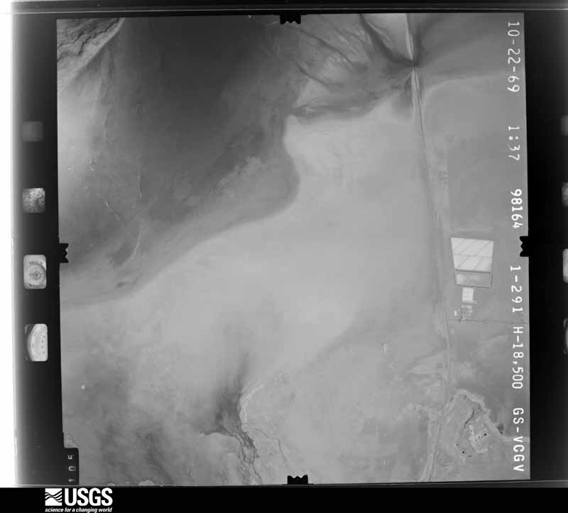
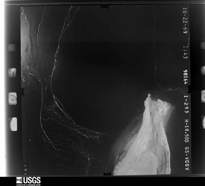
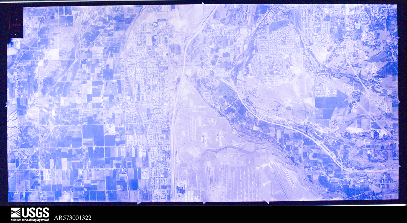
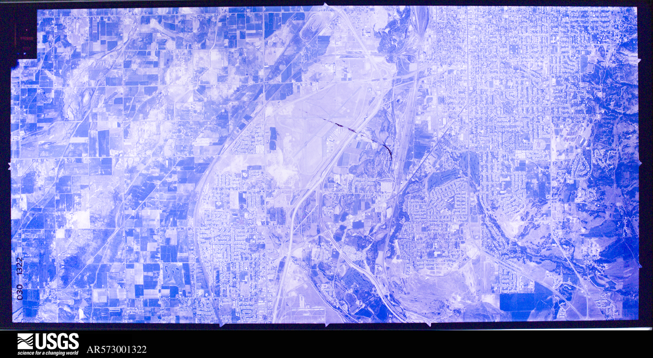
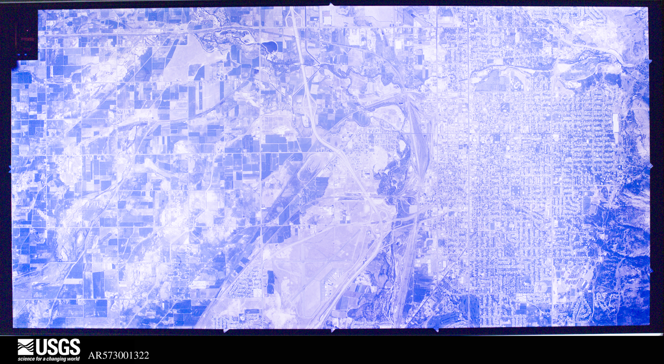
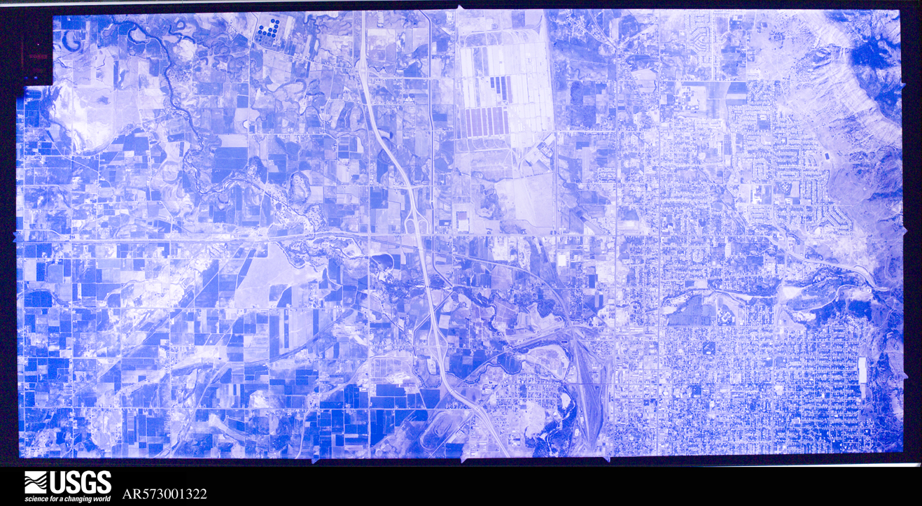
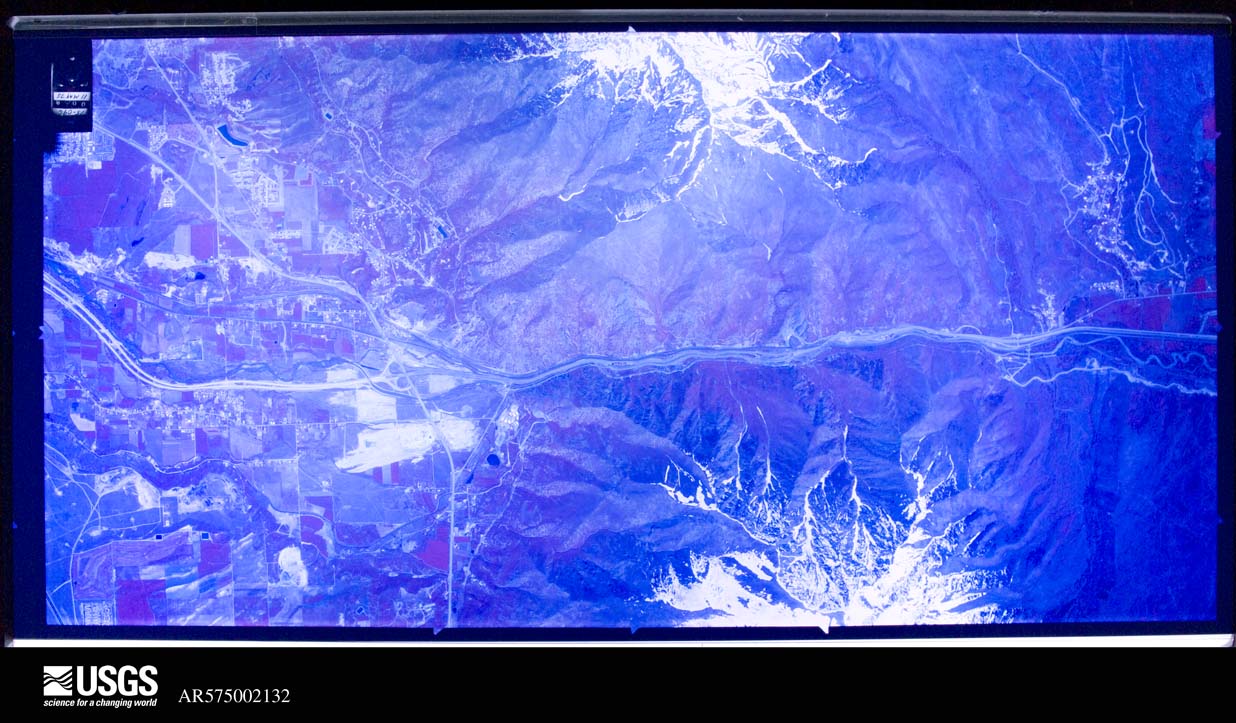
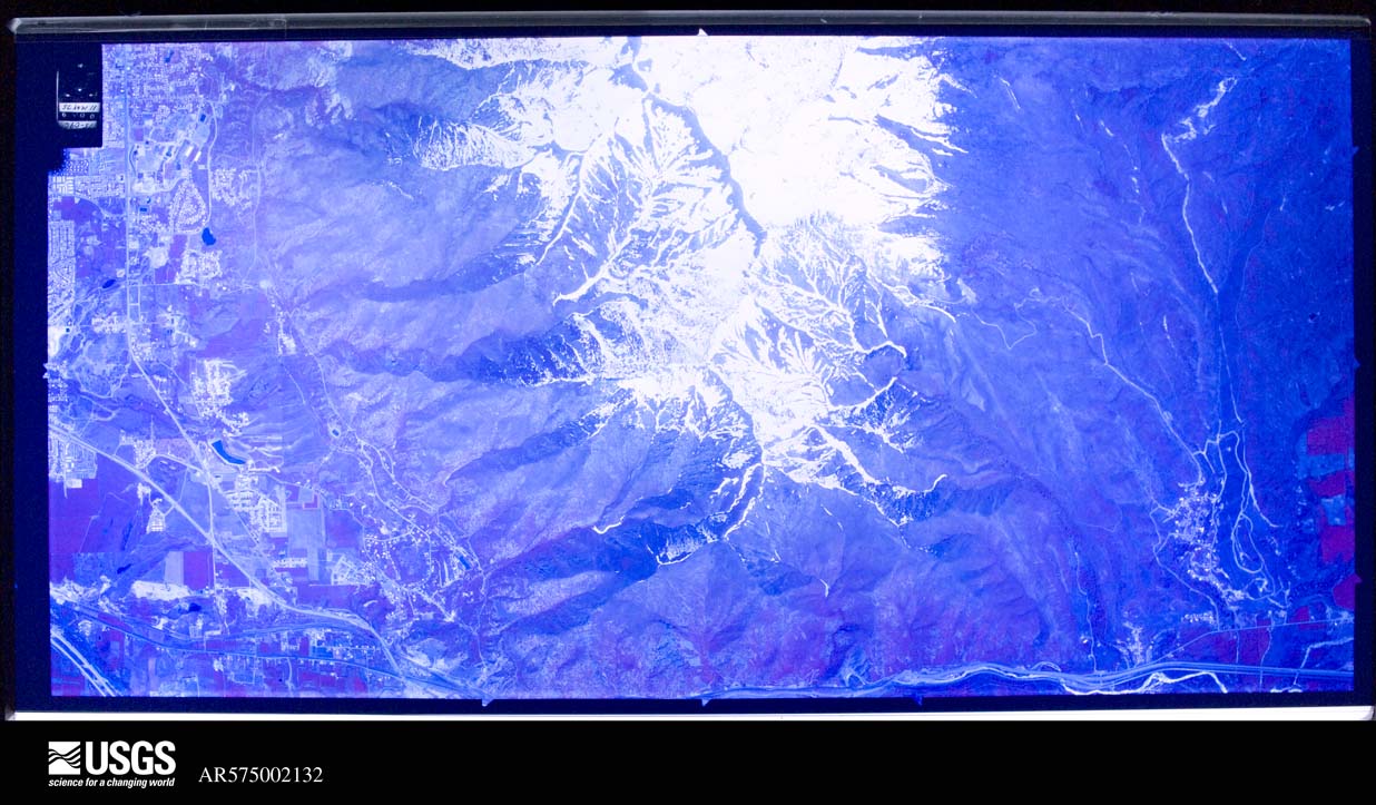
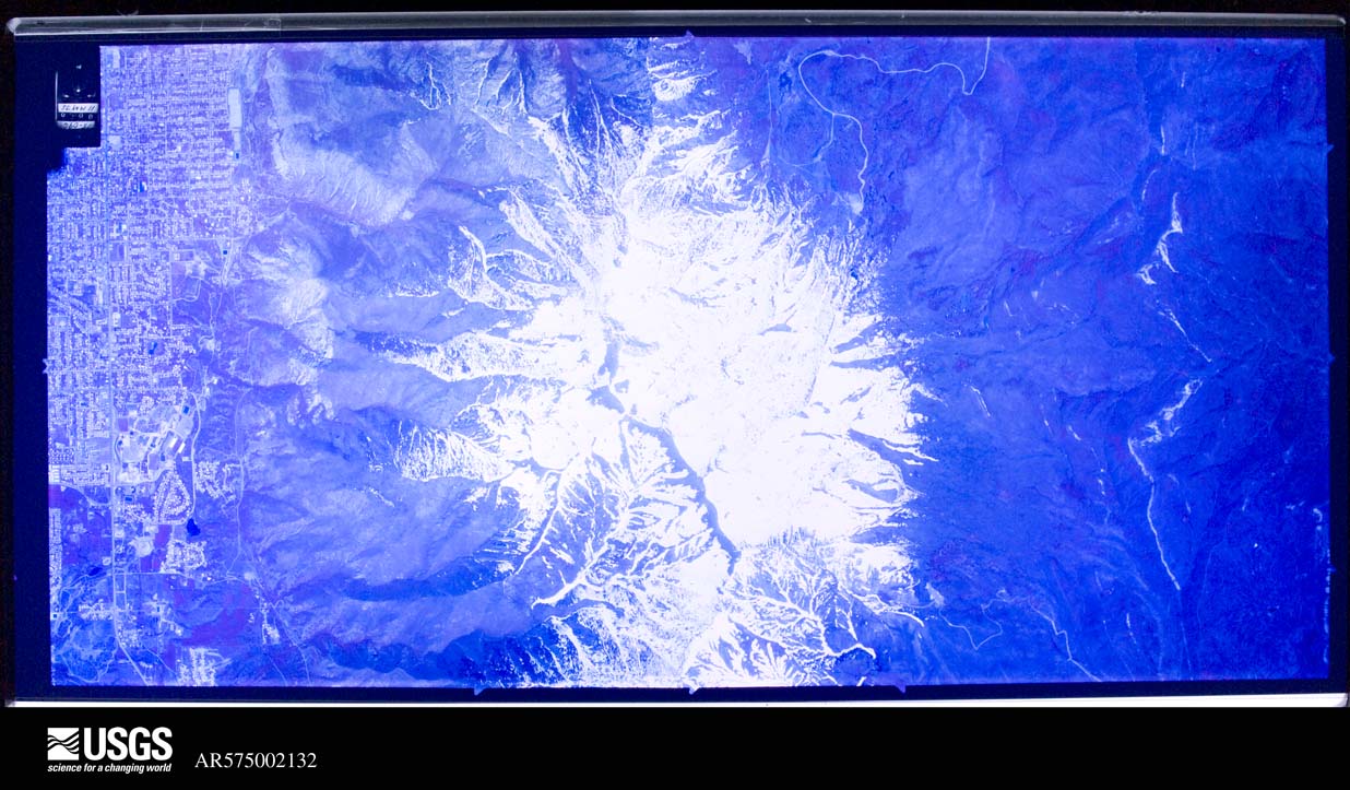
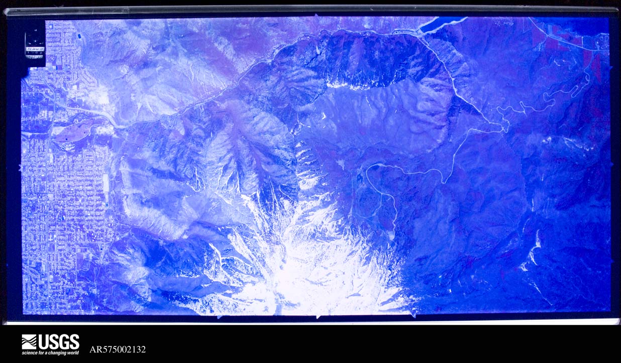
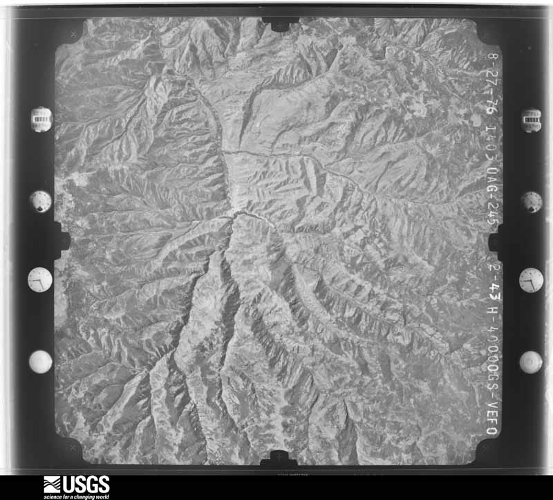
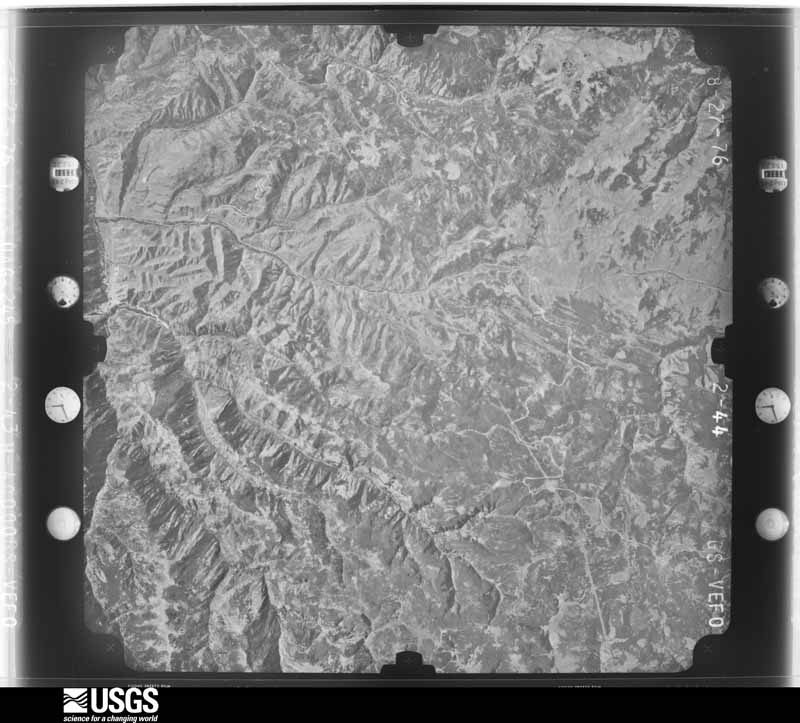
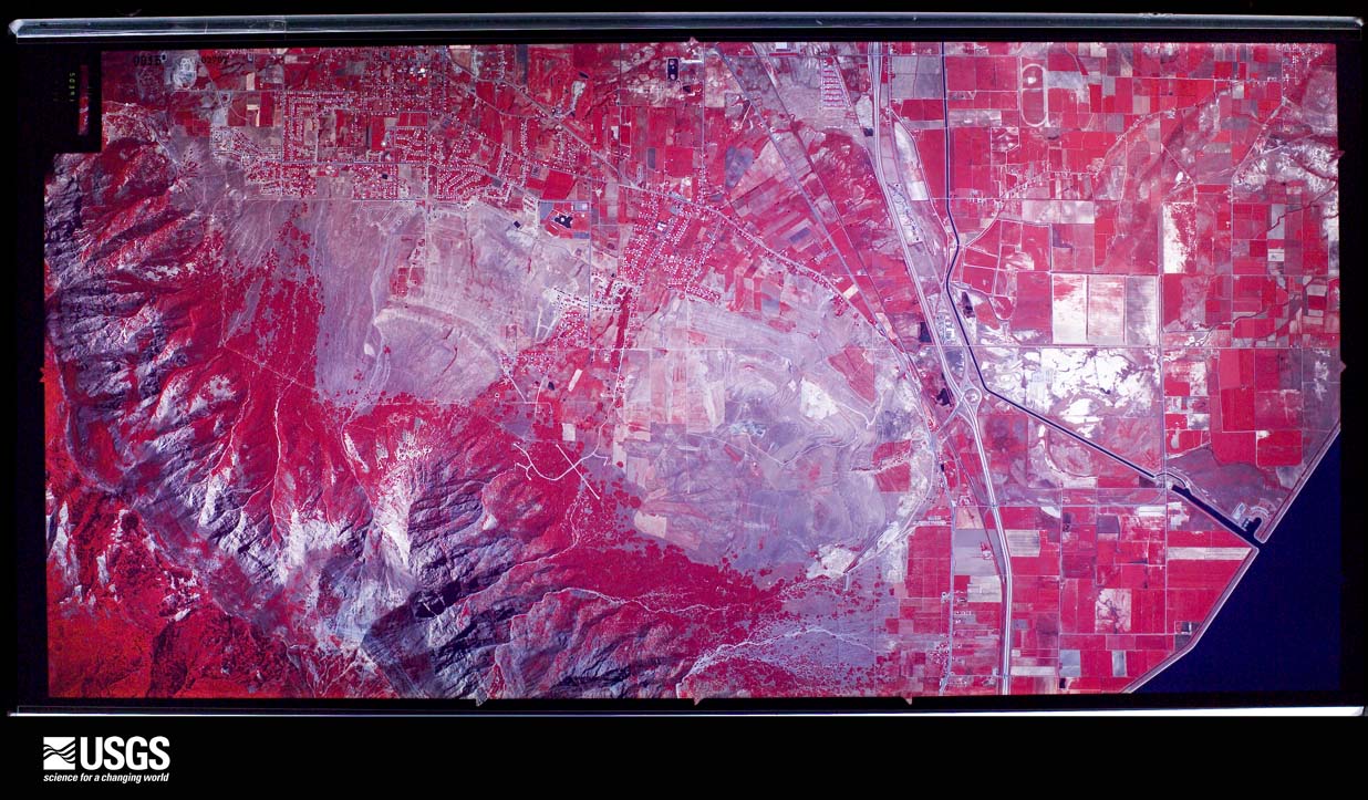
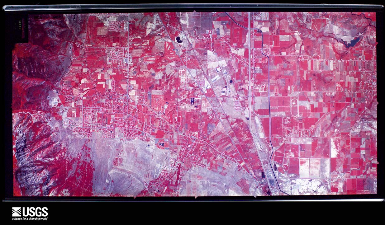
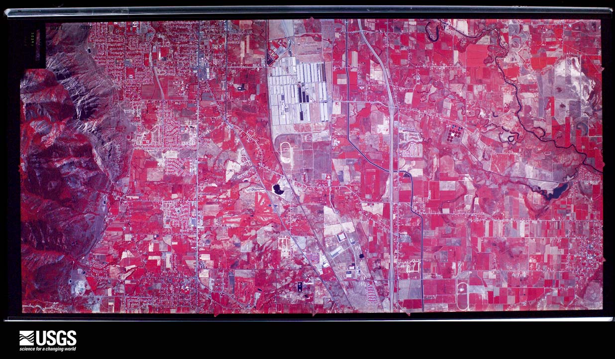
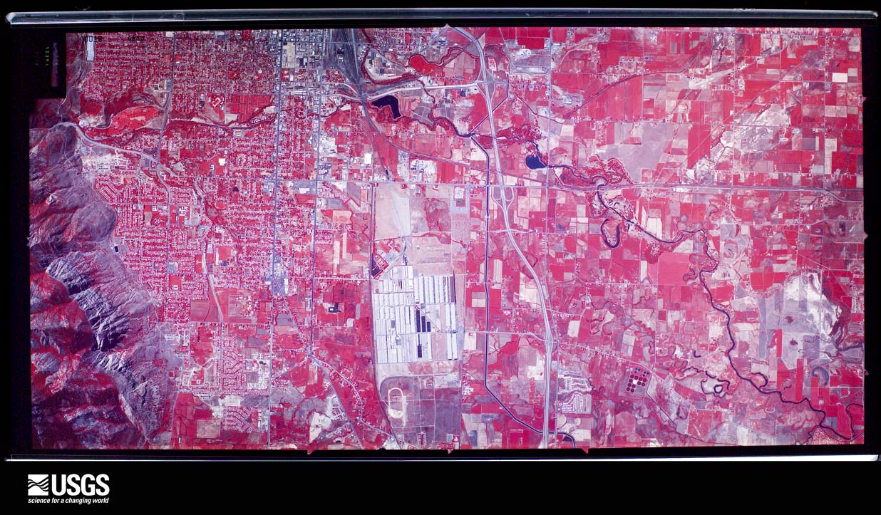
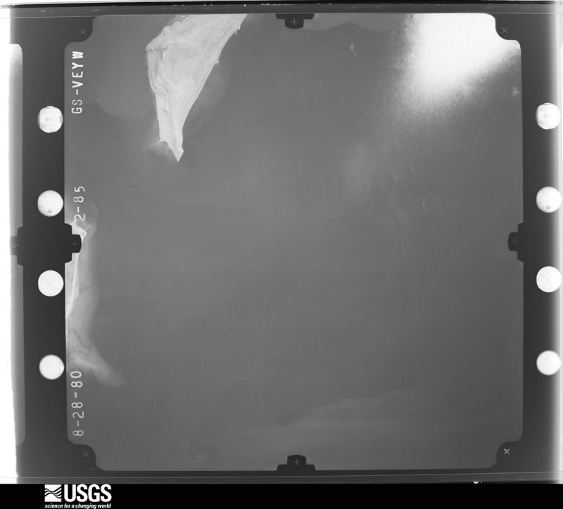
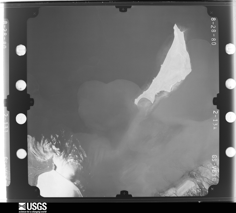
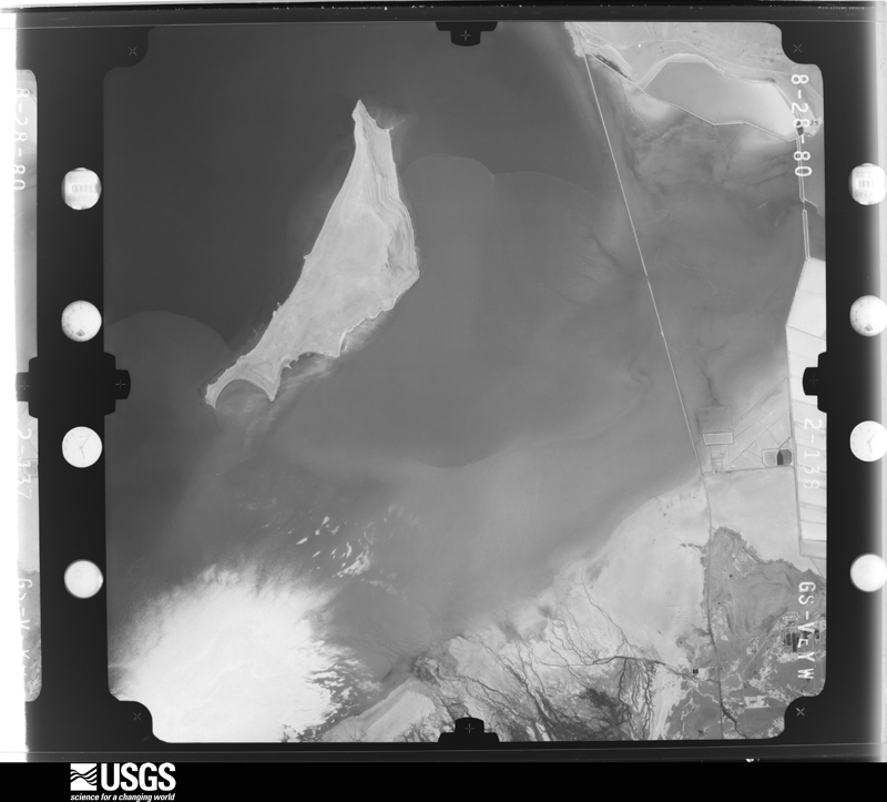
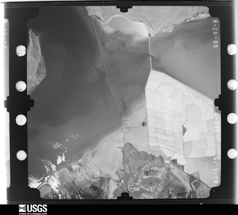
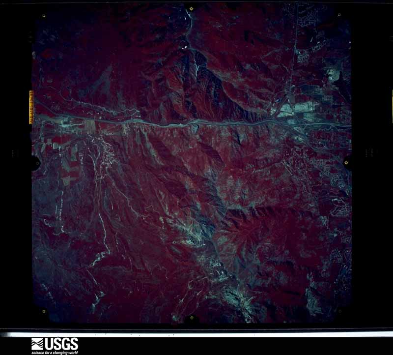
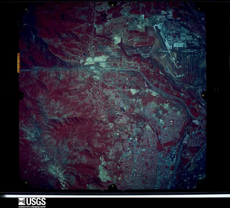
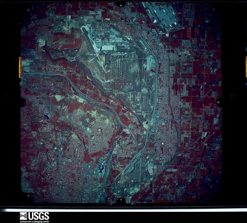
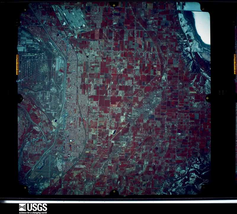
Flown by the U.S. Geological Survey between 1937 and 1989, the Aerial Photo Single Frames collection is the definitive mid-century view of the land: fields, roads and rivers as the camera saw them. The Survey holds 1,652 frames inside the rectangle that bounds this county; the 48 frames below were taken over the county itself, chosen across the decades of flights (at most four a year from that rectangle), so one flight cannot crowd out the rest. The full set is free to browse and download at EarthExplorer under the dataset Aerial Photo Single Frames.
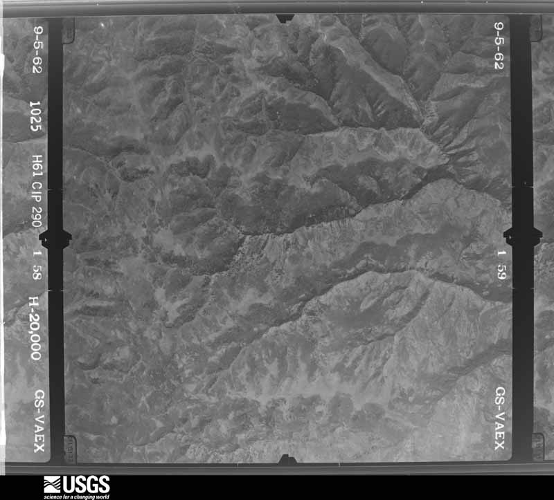
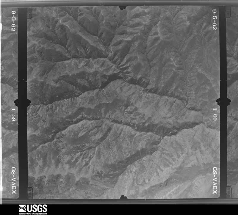
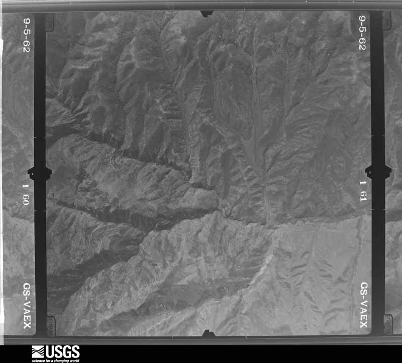
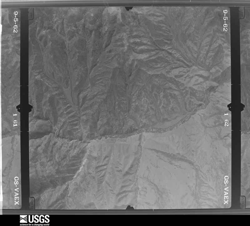
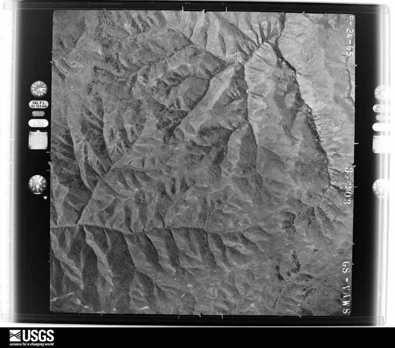
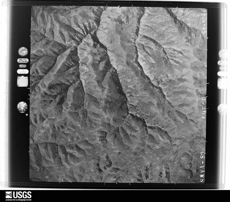
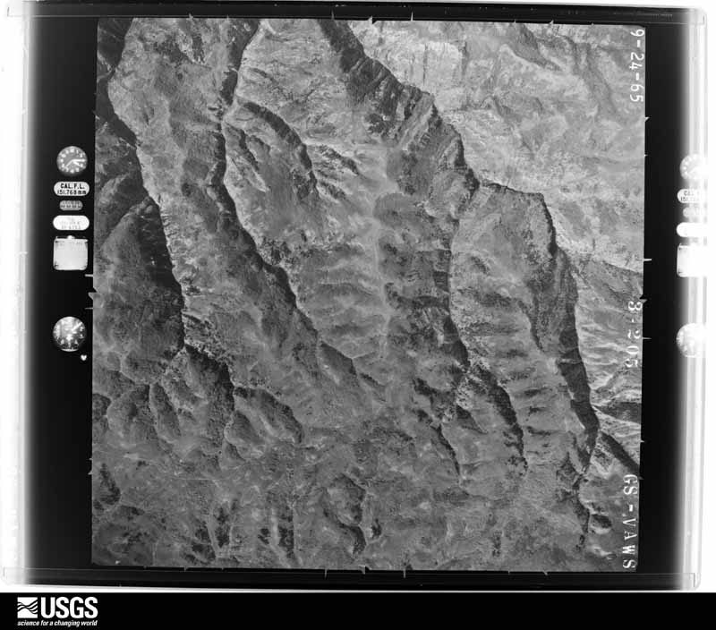
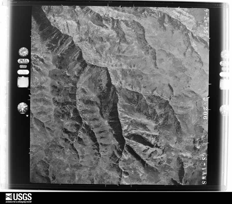
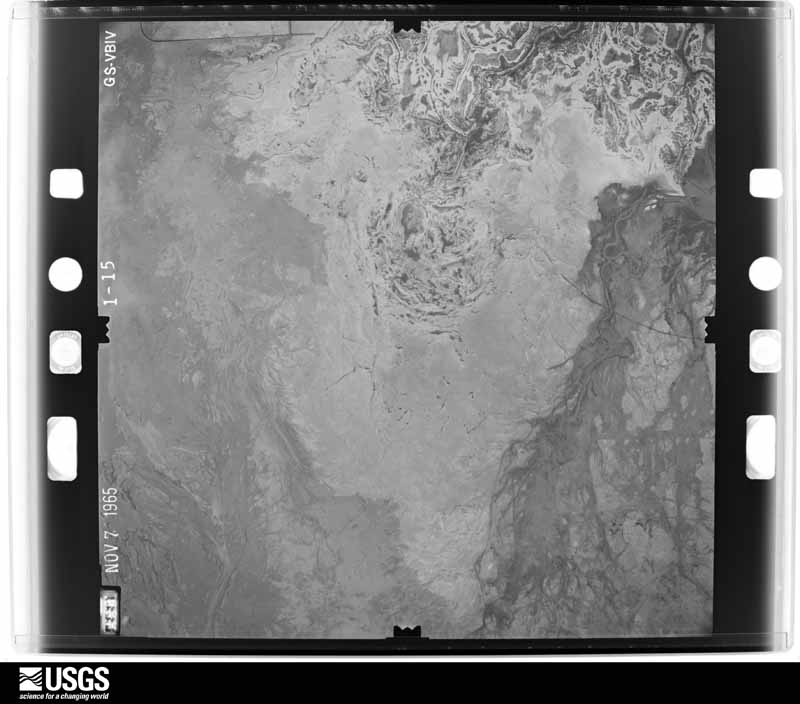
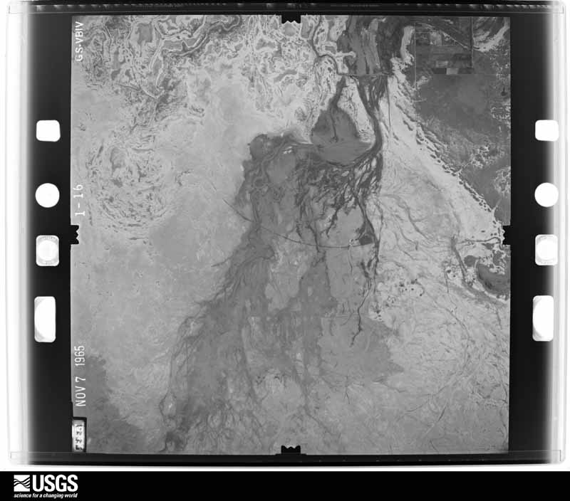
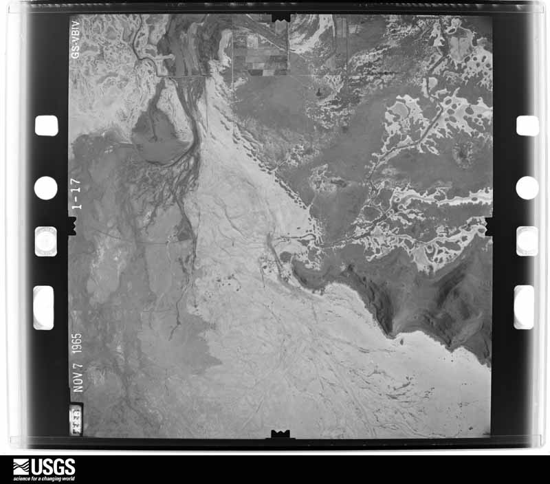
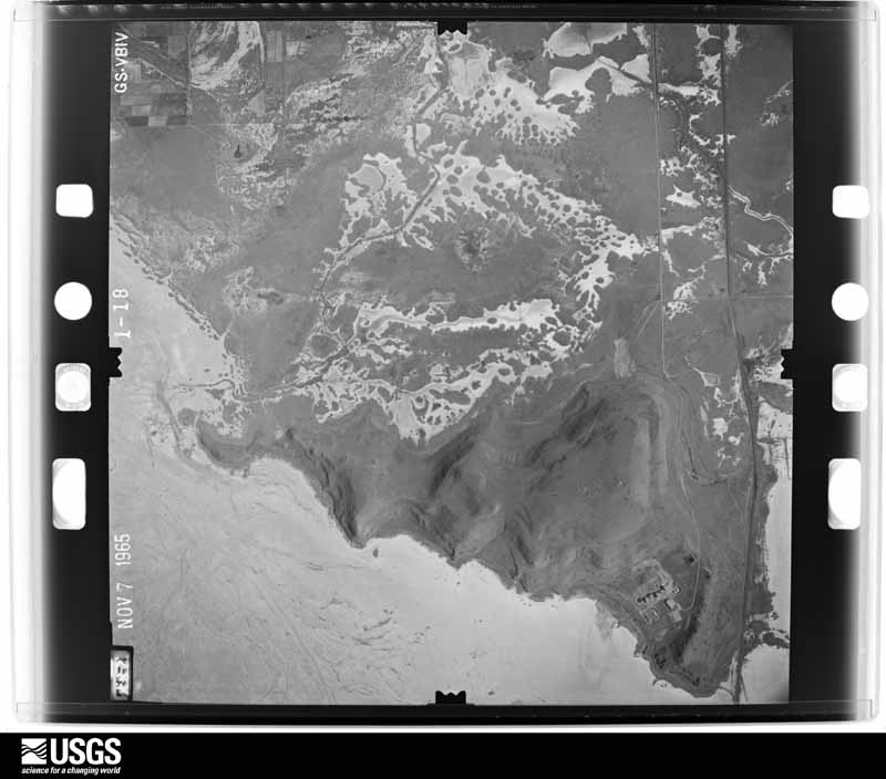
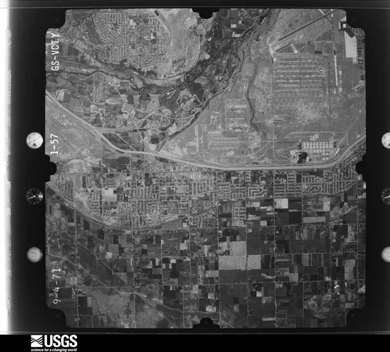
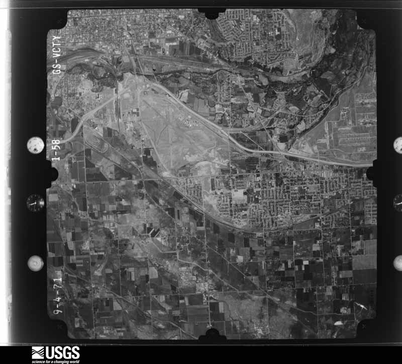
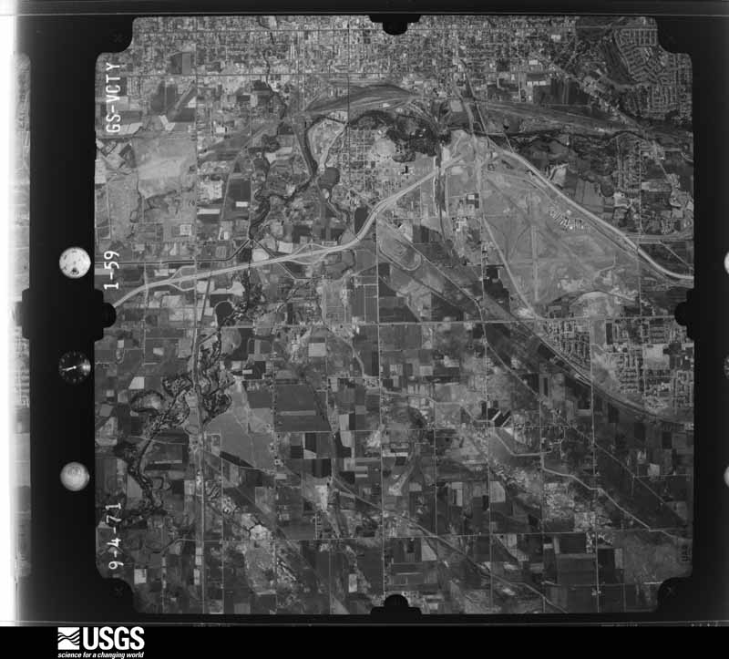
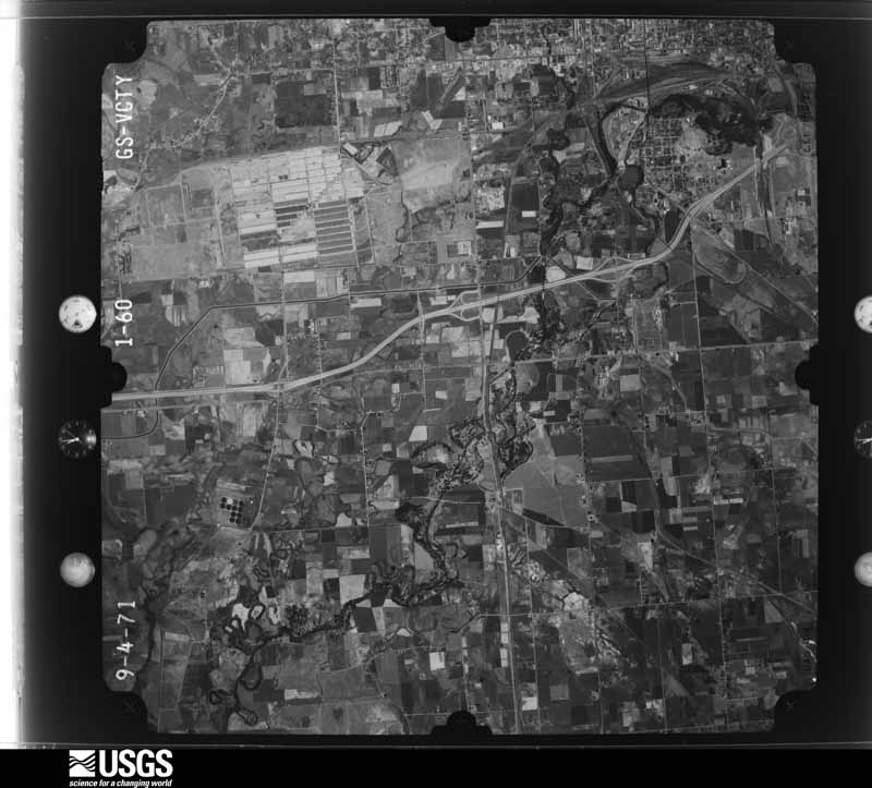
The thermometers that kept this county's weather, and the gages that measured the flow of its streams, as the federal records hold them. The extremes below are measured values from those records, not estimates.
Who lived here in 1950, one enumeration district at a time, as the Census Bureau described each district. Each row opens its official National Archives result, with Population Schedules and ED Maps available there.
Every wildfire the federal occurrence database records inside this county: 540 of them, burning about 21,268 acres. 90 started naturally and 20 were recorded as arson. Each settlement page carries the fires within five miles of it.
| Reported cause | Fires |
|---|---|
| Missing data/not specified/undetermined | 185 |
| Recreation and ceremony | 92 |
| Natural | 90 |
| Debris and open burning | 51 |
| Equipment and vehicle use | 50 |
| Arson/incendiarism | 20 |
| Railroad operations and maintenance | 13 |
| Fireworks | 12 |
| Smoking | 11 |
| Misuse of fire by a minor | 10 |
| Power generation/transmission/distribution | 5 |
| Firearms and explosives use | 1 |
The five largest, by the area the report gives. None of them was recorded as arson.
| Date | Cause | Size | Reported by | Name on the report |
|---|---|---|---|---|
| 18 April 2008 | Missing data/not specified/undetermined | 4,000 acres | Utah Division Forestry Fire State Lands | PINTAIL FLAT |
| 6 September 1995 | Missing data/not specified/undetermined | 2,300 acres | Utah Division Forestry Fire State Lands | FREEMONT ISLAND FIRE |
| 7 August 2000 | Natural | 2,000 acres | Utah Division Forestry Fire State Lands | EAGLE FIRE |
| 15 August 2003 | Power generation/transmission/distribution | 1,400 acres | Utah Division Forestry Fire State Lands | LITTLE MOUNTAIN |
| 29 July 1995 | Missing data/not specified/undetermined | 1,000 acres | Utah Division Forestry Fire State Lands | WOLF CREEK FIRE |
| 30 August 1994 | Missing data/not specified/undetermined | 1,000 acres | Utah Division Forestry Fire State Lands | GUN RANGE |
| 30 August 2018 | Missing data/not specified/undetermined | 782 acres | Bear River Area | AVON |
| 2 August 2004 | Missing data/not specified/undetermined | 700 acres | Utah Division Forestry Fire State Lands | not named |
Every settlement page carries the fires within five miles of it - see the settlement index below.
The NOAA Storm Events Database holds 169 reports for this county, causing 1 death, 16 injuries and about $5,038,000 in recorded property damage. Each settlement page carries the reports that name it.
| Kind of event | Reports |
|---|---|
| Thunderstorm Wind | 114 |
| Hail | 18 |
| Flood | 14 |
| Tornado | 8 |
| Heavy Rain | 5 |
| Flash Flood | 4 |
| Lightning | 4 |
| Funnel Cloud | 2 |
The most serious of them, by death, then injury, then recorded damage. The accounts are quoted exactly as the forecast office filed them.
| When | Event | Place named | Harm | What the report says |
|---|---|---|---|---|
| May 2023 | Flood | Uintah | 1 killed | As warmer weather set in during the spring, the prior winter's record setting snowpack began to melt, with runoff leading to cold, elevated, and fast flowing rivers accordingly. For context, the river gage at the outlet of Pineview Reservoir (which has controlled releases that subsequently flow into the Weber River downstream) rose to 7.37 feet by 5:00 pm MST on May 1, just below the historical record peak of 7.38 feet. On Monday May 1 around 4:45 pm MST, the first of many 911 emergency calls were received, stating that a person in distress was seen within the waters of the Weber River, and that they could hear screaming. First responders and emergency personnel began search and rescue operations on the Weber River from approximately Uintah to Marriott-Slaterville soon thereafter. By around 8:00 pm MST, search and rescue crews shifted to a recovery mission. Recovery crews continued for a time in the following days, but ultimately a body was never found and the missing person was presumed to have drowned. The missing person was later identified as an adult woman, age 28, and a family friend had disclosed that the woman had been walking her dogs along the Weber River at her family farm on the afternoon of the incident. |
| August 1998 | Tornado (F1) | Ogden | 6 hurt, $10,000 | no account filed |
| September 2016 | Tornado (EF1) | Roy | 5 hurt, $2,000,000 | A tornado touched down in Riverdale in Weber County. The tornado moved rapidly to the northeast, but was not consistently on the ground. It skipped on several occasions in Riverdale, producing primarily EF0 damage to trees and a several homes. The tornado then produced a more continuous swath of damage through Washington Terrace producing EF1 damage to numerous homes, structures, as well as many trees. Finally, the tornado skipped briefly into South Ogden producing EF0 damage before dissipating. One person suffered a head injury and took private transportation to a hospital. A few others were cut by flying glass, but were not hospitalized. The many downed trees across the area caused widespread power outages, with over 37,000 customers impacted. Approximately 12 homes in Washington Terrace were so damaged that they were deemed uninhabitable until repaired, and a total of about 30 homes were damaged across Weber County. |
| May 1996 | Tornado (F1) | North Ogden | 1 hurt, $600,000 | no account filed |
| August 1968 | Tornado (F2) | not stated | 1 hurt, $250,000 | no account filed |
| April 1990 | Tornado (F0) | not stated | 1 hurt, $25,000 | no account filed |
| August 2011 | Lightning | Wilson | 1 hurt | A construction worker, who was walking toward his truck at the Granite Construction Company supply site in West Haven, was thrown back from the truck when a bolt of lightning struck the vehicle. He was thrown several feet in the air and landed on his face, suffering facial injuries and hand abrasions. He would survive his injuries. |
| May 1999 | Lightning | South Ogden | 1 hurt | A UTA bus driver was waiting outside his bus for passengers in South Ogden when it started to rain. As he put up his umbrella a nearby bolt of lightning glanced his umbrella and shot down through his right arm He felt a burning sensation in his body and after driving a mile he decided to get medical attention. His injuries turned out to be very minor for this lucky man. |
| May 2011 | Flood | Hermitage | $550,000 | Flooding occurred along the South Fork of the Ogden River through the end of May, with the gauge near Huntsville reaching a peak of 1417 cfs on May 24th. This flooding impacted campgrounds and summer homes near Huntsville. In addition, flooding did major damage to Old Snow Basin Road, which officials estimated would take $500,000 to repair. |
| August 2000 | Flash Flood | Countywide | $250,000 | no account filed |
| February 2017 | Flood | Plain City | $100,000 | Heavy rain and snowmelt led to residential basement flooding across portions of Weber County, with damage reported in Farr West, Plain City, and across parts of the Ogden Valley. |
| June 2011 | Flood | Plain City | $100,000 | The Weber River continued to flood through early June, and became significantly worse when a levee near Plain City broke on June 9th. These flood waters impacted barns and houses along the river, though the houses were spared from interior damage. Many fields and yards across the area were inundated by significant amounts of water. |
| March 2011 | Flood | Liberty | $100,000 | Flooding occurred in localized areas of Weber County, primarily in the towns of Eden and Wolf Creek. Basement flooding was reported in 22 homes, including 12 Lakeside Condos units and 10 other homes. Some homeowners received as much as a foot of water in their basement, and others had to clean up dirty conditions due to overflowing raw sewage. In addition, some heavy construction equipment was damaged near the mouth of Weber Canyon, where it had been parked along the river bank. |
| August 2003 | Thunderstorm Wind | South Ogden | $100,000 | Severe thunderstorms blew through Weber County from South Ogden to Liberty, producing damaging winds, hail and heavy rain. Trees were reported down on a home and cars in Ogden, along with basement flooding of homes and some businesses. Trees in Liberty were toppled, with .83 inches of rain reported in 10 minutes. |
| August 1998 | Thunderstorm Wind | Ogden | $100,000 | no account filed |
| January 2012 | Flood | Liberty | $80,000 | More heavy rainfall occurred across the Ogden Valley, causing isolated flooding incidents. Water flowed across several roadways, and six homes near the Wolf Mountain ski resort experienced flooding. |
| May 1998 | Heavy Rain | Roy | $80,000 | no account filed |
| May 2017 | Thunderstorm Wind | Taylor | $60,000 | Strong thunderstorm winds caused significant damage to several outbuildings at the Wight Fresh Turkey Farm. Some of the structures were blown down completely, while others sustained major damage to support posts and tin roofs. Damage across the entire farm was estimated at $60,000. |
| April 2011 | Thunderstorm Wind | Pleasant View | $60,000 | The Ogden Peak sensor recorded a wind gust of 77 mph. Many trees were knocked down near Ogden and Huntsville, with at least two dozen large trees knocked down in the Huntsville area. Several of these trees landed on buildings, with at least one causing moderate damage to a house. Many power lines were also knocked down across the county. |
| June 1997 | Flash Flood | Roy | $60,000 | Over an inch of rain occurred in an hours time in weber county during the early morning. At least a dozen homes in the town of Roy experienced basement flooding. A 24-hour rain total of 2.05" was reported from a spotter in Roy. |
| January 2012 | Flood | Liberty | $50,000 | Heavy rainfall on frozen ground, combined with some snowmelt, led to the flooding of some residential basements in Liberty, Utah. This flooding was eventually mitigated with pumps and sandbags. |
| June 2011 | Flood | Huntsville | $50,000 | The South Fork of the Ogden River remained above flood stage for much of the first half of June, peaking at 1318 cfs on June 8th, before finally dropping below flood stage for the rest of the season in mid-June. Most of the damage was already done in earlier parts of the season, but this flooding continued to impact summer homes and campgrounds along the river. |
| May 2011 | Flood | Huntsville | $50,000 | Flooding occurred along the South Fork of the Ogden River from the Causey Reservoir to the Pineview Reservoir, with the gauge near Huntsville peaking at 1554 cfs on May 16th, well above the flood flow of 1019 cfs. This flooding impacted campgrounds and summer homes in and around Huntsville. |
| June 2011 | Flood | Washington Terrace | $50,000 | Flooding along the Weber River continued through mid-June, then subsided once the levee near Plain City was fixed. Standing water continued to be a problem after the levee repairs, leaving residents with water-logged properties. |
| May 1993 | Thunderstorm Wind | Farr West | $50,000 | A cold front moved into northwest Utah during the late afternoon and early evening hours. The cold front produced thunderstorms as it moved through the area. Some of these thunderstorms produced damaging winds and even a tornado. The high winds reduced visibilities due to blowing dust and salt. In Genola, the wind blew down a newly constructed fence, several trees, and tore a roof off a small barn. The high winds along the Wasatch Front downed many power lines. A microburst damaged a greenhouse in a nursery and garden center in Farr West. Debris from the greenhouse then flattened the shrubs and bedding plants inside. The owner estimated the damage at $30,000 to $40,000. Several houses close to this area also had some wind damage in their yards. One of these thunderstorms produced a tornado. Erda is five miles north of Tooele. The tornado first tore off the top of an electric pole then moved into a drive-in theater. It totally destroyed the movie screen. The tornado then tipped a mobile home over before it moved into an open field, and went back into the clouds. A few windows on the mobile home were broken. The movie screen was worth $50,000, and will have to be replaced. Many objects including a small camper shell, trash barrels, and a wood pile were only blown a short distance or not even disturbed. The mobile home was located behind a not so sturdy metal building. That building was not damaged. Trees surrounding a nearby house were also not damaged. This event was witnessed by a woman who lived next to the drive-in. The woman said, "That she saw the screen being twisted in a whirling motion". |
| July 1998 | Heavy Rain | Countywide | $40,000 | no account filed |
| August 2021 | Thunderstorm Wind | Hermitage | $30,000 | Two trees were blown down in Ogden Canyon, with limbs landing on two vehicles. |
| May 2017 | Flood | Huntsville | $20,000 | Extensive snowmelt caused the South Fork of the Ogden River to exceed flood stage east of the Pineview Reservoir and the town of Huntsville, with flows at the Pineview Reservoir gauge peaking near 1200 cfs. Much of the flooding was mitigated by sandbagging efforts, but minor damage was reported to cabins and lawns near the river. |
| July 2013 | Lightning | Uintah | $20,000 | Lightning struck the wooden turret of a home near Ogden, setting the roof on fire. The fire spread into one of the upstairs rooms before firefighters were able to put out the blaze. Approximately $20,000 worth of damage occurred, mostly to the roof and electrical wiring. |
| April 2011 | Flood | Riverdale | $20,000 | Flooding occurred along the Weber River all the way to Plain City. The Weber River at Plain City gauge peaked at 4761 cfs, above its flood stage of 4713 cfs. While flooding threatened some homes in Riverdale, most of the damage was restricted to buildings in agricultural areas. |
| June 1998 | Heavy Rain | Countywide | $20,000 | no account filed |
| May 1998 | Tornado (F0) | Roy | $18,000 | no account filed |
| August 2003 | Lightning | North Ogden | $15,000 | Lightning struck the roof of a residence in North Ogden, burning four holes and traveling 30 feet to start a house fire. |
| May 2023 | Flood | Hermitage | $14,000 | At approximately 0830 MST on Thursday, May 11, 2023, high flows on the Lower Ogden River eroded the embankment supporting state Route 39 through Ogden Canyon which caused one lane of the two lane road to collapse. An upstream river gauge reported flows above action stage (greater than 1264 cfs) from April 14 through May 2, and again from May 4 through the time of the incident. Flows approached minor flood stage (1610 cfs) within 100 cfs throughout this time, but exceeded minor flood stage by 5 cfs at one observation time on May 9, 2023. The road was closed for approximately 11 hours, with the one stable lane allowed to reopen thereafter. |
| May 2011 | Flood | Washington Terrace | $10,000 | Flooding occurred along the Weber River from the mouth of Weber Canyon downstream to Plain City. Only minor flooding occurred through the month of May, as the flood stage was mitigated, but this flooding began to damage the levee system at Plain City, which would eventually fail in June. Note that this event continued into June. |
| June 2007 | Thunderstorm Wind | Ogden | $10,000 | A 63 knot wind gust was measured at the Ogden Airport ASOS, and at least a dozen power poles were knocked down, along with a number of trees. |
| July 2023 | Thunderstorm Wind | Washington Terrace | $7,500 | A roof was blown off of a manufactured home in Washington Terrace. |
| December 1995 | Tornado (F0) | Pleasant View | $7,500 | As a cold front pushed through northern Utah, a tornado is thought to have moved through Pleasant View. Witnesses described a freight train sound, and the damage was in a hit or miss fashion. Damage included a 12 to 18-inch diameter tree that was snapped (not uprooted), shingles blown off of several roofs, windows and doors damaged on two homes under construction, three large pine trees nearly uprooted, and a destroyed metal shed. The width of the tornado was unknown. |
| August 2005 | Flash Flood | South Ogden | $5,000 | Local streets and 2 homes had flooded basements along with minor wind damage from a thunderstorm |
| June 1997 | Hail | Harrisville | $5,000 | A final severe thunderstorm moved through Weber County late in the afternoon. 1" diameter hail was measured in Harrisville and 3/4" diameter hail fell in North Ogden. |
| August 1997 | Thunderstorm Wind | Harrisville | $5,000 | no account filed |
| May 2016 | Thunderstorm Wind | Roy | $3,000 | Thunderstorm winds knocked a large tree onto a house near Roy. The time of the event is estimated. |
| June 2009 | Flash Flood | Liberty | $3,000 | Flash flooding in Liberty included a road that was washed out, as well as minor landscape damage to a few homes. |
| August 2008 | Thunderstorm Wind | Roy | $3,000 | Strong thunderstorm winds knocked down a large tree and several large tree branches near Layton. Twenty-five minutes later, the Ogden Peak mesonet site recorded a wind gust of 61 mph. |
| July 2025 | Thunderstorm Wind | Hooper | $2,500 | Public social media pictures showing an uprooted mature pine tree in addition to a damaged gazebo. Time and exact location estimated by radar. The nearest mesonet observation recorded a gust to 43 mph in Clinton. The wind gusts are the result of outflow winds associated with a nearby cluster of showers and thunderstorms moving through the area. |
| July 2024 | Thunderstorm Wind | Huntsville | $1,000 | Multiple trees were reported down at Sourdough Wilderness Ranch as a result of strong thunderstorm winds. |
| June 2014 | Thunderstorm Wind | Hooper | $1,000 | A large tree was broken by a strong wind gust from a passing thunderstorm. |
| July 2003 | Thunderstorm Wind | Liberty | $1,000 | no account filed |
| June 2002 | Thunderstorm Wind | South Ogden | $1,000 | no account filed |
| July 2023 | Thunderstorm Wind | South Ogden | $500 | In South Ogden, 6-inch tree limbs were snapped off. |
| April 2026 | Thunderstorm Wind | (Ogd)Ogden Muni Arpt | - | The Ogden Airport ASOS reported a peak wind gust of 61mph. |
| April 2026 | Thunderstorm Wind | Washington Terrace | - | A trained spotter discovered a power pole that was snapped by associated severe wind gusts from a thunderstorm that had fallen onto a vehicle. |
| April 2026 | Thunderstorm Wind | South Ogden | - | A trained spotter reported broken tree branches knocked down by severe wind gusts from a thunderstorm near the Ogden Country Club. |
| April 2026 | Thunderstorm Wind | Riverdale | - | A trained spotter reported medium sized tree branches that were snapped from severe wind gusts from an associated thunderstorm. |
| April 2026 | Thunderstorm Wind | South Ogden | - | A trained spotter discovered multiple snapped trees from severe wind gusts associated from a thunderstorm within Leavitts Mortuary and Aultorest Memorial Park in Ogden. |
| April 2026 | Thunderstorm Wind | South Ogden | - | A trained spotter reported that a street light was knocked over by severe wind gusts associated with a thunderstorm. |
| May 2025 | Thunderstorm Wind | Little Mtn | - | The Fremont Island - Miller Hill mesonet station recorded a wind gust of 72 mph as a result of outflow winds associated with a nearby cluster of showers and thunderstorms moving through the area. |
| May 2025 | Thunderstorm Wind | Little Mtn | - | The Great Salt Lake Minerals mesonet station recorded a wind gust of 61 mph as a result of outflow winds associated with a nearby cluster of showers and thunderstorms moving through the area. |
| July 2025 | Thunderstorm Wind | Little Mtn | - | The Fremont Island - Miller Hill mesonet station recorded an initial peak wind gust of 74 mph and a subsequent wind gust of 59 mph as a result of outflow winds associated with a nearby cluster of showers and thunderstorms moving through the area. |
| May 2024 | Thunderstorm Wind | (Ogd)Ogden Muni Arpt | - | Starting at 12:00 AM MST, a decaying convective cell collapsed over the Ogden-Hinckley Airport resulting in a heat burst. This heat burst was characterized by a period of severe wind gusts, with the Ogden-Hinckley Airport ASOS recording a period of gusts to 78 mph, followed by a final gust to 64 mph before winds subsided. Temperatures initially around 75F or so prior to winds increasing peaked at 83F during the strongest winds. Corresponding to this time range, dew points initially around 40F dropped to a minimum of 28F. These strong winds were seemingly localized to the airport, but no damage was ultimately reported. |
The Survey's mineral resources record lists 109 workings inside this county. 18 still produce and 91 are closed or unrecorded. Each settlement page carries the workings within five miles of it.
| Commodity | Workings |
|---|---|
| Sand and Gravel, Construction | 84 |
| Phosphorus-Phosphates | 4 |
| Fluorine-Fluorite | 4 |
| Manganese | 2 |
| Bromine | 2 |
| Copper | 2 |
| Fire Clay (Refractory) | 2 |
| Lead, Copper, Silver, Gold | 1 |
| Vanadium, Chromium | 1 |
| Brick Clay, Fire Clay (Refractory) | 1 |
| Clay | 1 |
| Magnesite, Potassium | 1 |
| Salt, Sodium | 1 |
| Silver, Lead, Gold, Copper | 1 |
The least common of them first, because a county's hundredth gravel pit says nothing its first ten did not.
| Where | Site | Commodity | Status | Recorded |
|---|---|---|---|---|
| Harrisville Brick Plant Deposit | Brick Clay, Fire Clay (Refractory) | Past Producer | Unconsolidated Sediments | |
| Kathy Ann Claim | Uranium | Unknown | ||
| Little Mountain | Magnesite, Potassium, Salt, Sodium | Plant | 1888, 1970 | |
| Little Mountain Plant | Salt | Producer | ||
| Ogden Hot Springs | Geothermal | Unknown | ||
| Radford Clay Deposit | Clay | Past Producer | Unconsolidated Sediments | |
| Unknown | Potassium | Unknown | ||
| Utah and Nebraska Mining Co | Silver, Lead, Gold, Copper | Unknown | ||
| Utah and Nebraska Mining Co. Claims | Lead, Copper, Silver, Gold | Occurrence | 1871 | |
| Wheat Grass Canyon | Phosphorus-Phosphates, Vanadium, Chromium | Occurrence | ||
| Black Mtn. South Prospects | Copper | Occurrence | Vein | |
| Fremont Island Brine | Bromine | Producer | 1825, 1982 | |
| Harrisville Brick Deposit | Fire Clay (Refractory) | Producer | ||
| Jenny Joe Occurrence | Copper | Occurrence | Malachite | |
| Ogden Bay Brine | Bromine | Past Producer | 1825, 1981 | |
| Payday Group | Manganese | Past Producer | Psilomelane, Pyrolusite | |
| Payday Group | Manganese | Prospect | ||
| Radford Clay Deposit | Fire Clay (Refractory) | Past Producer | ||
| Dry Bread Hollow | Phosphorus-Phosphates | Occurrence | ||
| Norman Fluorspar Deposit | Fluorine-Fluorite | Past Producer | 1953, 1957 | |
| Norman Fluorspar Deposit | Fluorine-Fluorite | Prospect | ||
| Norman Mine | Fluorine-Fluorite | Occurrence | Fluorite | |
| Norman Mine | Fluorine-Fluorite | Past Producer | 1953 | |
| Phosphate Deposits | Phosphorus-Phosphates | Occurrence | ||
| Phosphate Deposits | Phosphorus-Phosphates | Occurrence | ||
| Clarence Waterfall Gravel Pits | Sand and Gravel, Construction | Unknown | ||
| Dereice Balls Sand and Gravel Pits | Sand and Gravel, Construction | Producer | ||
| East Liberty Gravel Pit | Sand and Gravel, Construction | Past Producer | Unconsolidated Sediments | |
| Ideal Rock Products South Weber Pit | Sand and Gravel, Construction | Producer | ||
| Parsons South Weber Pit | Sand and Gravel, Construction | Producer | ||
| Unidentified Occurrence | Sand and Gravel, Construction | Past Producer | Unconsolidated Sediments | |
| Unidentified Occurrence | Sand and Gravel, Construction | Past Producer | Unconsolidated Sediments | |
| Unidentified Occurrence | Sand and Gravel, Construction | Producer | Unconsolidated Sediments | |
| Unidentified Occurrence | Sand and Gravel, Construction | Producer | Unconsolidated Sediments | |
| Unidentified Occurrence | Sand and Gravel, Construction | Producer | Unconsolidated Sediments | |
| Unknown | Sand and Gravel, Construction | Prospect | ||
| Unknown | Sand and Gravel, Construction | Prospect | ||
| Unknown | Sand and Gravel, Construction | Prospect | ||
| Unknown | Sand and Gravel, Construction | Occurrence | ||
| Ut Dept of Hwys No 29033 | Sand and Gravel, Construction | Past Producer | ||
| Ut Dept of Hwys No 29034 | Sand and Gravel, Construction | Past Producer | ||
| Ut Dept of Hwys No 29045 | Sand and Gravel, Construction | Past Producer | ||
| Ut Dept of Hwys Pit # 29014 | Sand and Gravel, Construction | Prospect | ||
| Ut Dept of Hwys Pit #29001 | Sand and Gravel, Construction | Prospect | ||
| Ut Dept of Hwys Pit #29002 | Sand and Gravel, Construction | Prospect | ||
| Ut Dept of Hwys Pit #29003 | Sand and Gravel, Construction | Prospect | ||
| Ut Dept of Hwys Pit #29004 | Sand and Gravel, Construction | Prospect | ||
| Ut Dept of Hwys Pit #29005 | Sand and Gravel, Construction | Prospect | ||
| Ut Dept of Hwys Pit #29006 | Sand and Gravel, Construction | Prospect | ||
| Ut Dept of Hwys Pit #29007 | Sand and Gravel, Construction | Prospect | ||
| Ut Dept of Hwys Pit #29008 | Sand and Gravel, Construction | Prospect | ||
| Ut Dept of Hwys Pit #29013 | Sand and Gravel, Construction | Prospect | ||
| Ut Dept of Hwys Pit #29015 | Sand and Gravel, Construction | Prospect | ||
| Ut Dept of Hwys Pit #29016 | Sand and Gravel, Construction | Prospect | ||
| Ut Dept of Hwys Pit #29018 | Sand and Gravel, Construction | Prospect | ||
| Ut Dept of Hwys Pit #29019 | Sand and Gravel, Construction | Prospect | ||
| Ut Dept of Hwys Pit #29020 | Sand and Gravel, Construction | Prospect | ||
| Ut Dept of Hwys Pit #29021 | Sand and Gravel, Construction | Prospect | ||
| Ut Dept of Hwys Pit #29022 | Sand and Gravel, Construction | Prospect | ||
| Ut Dept of Hwys Pit #29023 | Sand and Gravel, Construction | Prospect | ||
| Ut Dept of Hwys Pit #29024 | Sand and Gravel, Construction | Prospect | ||
| Ut Dept of Hwys Pit #29025 | Sand and Gravel, Construction | Prospect | ||
| Ut Dept of Hwys Pit #29026 | Sand and Gravel, Construction | Prospect | ||
| Ut Dept of Hwys Pit #29027 | Sand and Gravel, Construction | Prospect | ||
| Ut Dept of Hwys Pit #29028 | Sand and Gravel, Construction | Prospect | ||
| Ut Dept of Hwys Pit #29029 | Sand and Gravel, Construction | Prospect | ||
| Ut Dept of Hwys Pit #29030 | Sand and Gravel, Construction | Prospect | ||
| Ut Dept of Hwys Pit #29031 | Sand and Gravel, Construction | Prospect | ||
| Ut Dept of Hwys Pit #29032 | Sand and Gravel, Construction | Prospect | ||
| Ut Dept of Hwys Pit #29036 | Sand and Gravel, Construction | Prospect | ||
| Ut Dept of Hwys Pit #29037 | Sand and Gravel, Construction | Prospect | ||
| Ut Dept of Hwys Pit #29038 | Sand and Gravel, Construction | Prospect | ||
| Ut Dept of Hwys Pit #29039 | Sand and Gravel, Construction | Prospect | ||
| Ut Dept of Hwys Pit #29040 | Sand and Gravel, Construction | Prospect | ||
| Ut Dept of Hwys Pit #29041 | Sand and Gravel, Construction | Prospect | ||
| Ut Dept of Hwys Pit #29042 | Sand and Gravel, Construction | Prospect | ||
| Ut Dept of Hwys Pit #29043 | Sand and Gravel, Construction | Prospect | ||
| Ut Dept of Hwys Pit #29044 | Sand and Gravel, Construction | Prospect | ||
| Ut Dept of Hwys Pit #29046 | Sand and Gravel, Construction | Prospect | ||
| Ut Dept of Hwys Pit #29048 | Sand and Gravel, Construction | Prospect | ||
| Ut Dept of Hwys Pit #29049 | Sand and Gravel, Construction | Prospect | ||
| Ut Dept of Hwys Pit #29050 | Sand and Gravel, Construction | Prospect | ||
| Ut Dept of Hwys Pit #29051 | Sand and Gravel, Construction | Prospect | ||
| Ut Dept of Hwys Pit #29052 | Sand and Gravel, Construction | Prospect | ||
| Ut Dept of Hwys Pit No 29009 | Sand and Gravel, Construction | Prospect | ||
| Ut Dept of Hwys Pit No 29011 | Sand and Gravel, Construction | Prospect | ||
| Ut Dept of Hwys Pit No 29012 | Sand and Gravel, Construction | Prospect | ||
| Ut Dept of Hwys Pit No 29017 | Sand and Gravel, Construction | Prospect | ||
| Ut. Dept. of Hwys. No. 29033 Pit | Sand and Gravel, Construction | Past Producer | Surface | |
| Ut. Dept. of Hwys. No. 29034 Pit | Sand and Gravel, Construction | Past Producer | Surface | |
| Ut.Dept of Hwys Pit No 29010 | Sand and Gravel, Construction | Prospect | ||
| Utah Department of Highways Gravel Pit Number 29010 | Sand and Gravel, Construction | Producer | Unconsolidated Sediments | |
| Utah Department of Highways Gravel Pit Number 29020 | Sand and Gravel, Construction | Past Producer | Limestone, Quartzite, Sandstone | |
| Utah Department of Highways No. 29014 | Sand and Gravel, Construction | Past Producer | Unconsolidated Sediments | |
| Utah Department of Highways No. 29016 | Sand and Gravel, Construction | Past Producer | Unconsolidated Sediments | |
| Utah Department of Highways No. 29024 | Sand and Gravel, Construction | Producer | Unconsolidated Sediments | |
| Utah Department of Highways No. 29025 | Sand and Gravel, Construction | Past Producer | Unconsolidated Sediments | |
| Utah Department of Highways No. 29026 | Sand and Gravel, Construction | Producer | Unconsolidated Sediments | |
| Utah Department of Highways No. 29027 | Sand and Gravel, Construction | Producer | Unconsolidated Sediments | |
| Utah Department of Highways No. 29030 | Sand and Gravel, Construction | Producer | Unconsolidated Sediments | |
| Utah Department of Highways No. 29036 | Sand and Gravel, Construction | Producer | Unconsolidated Sediments | |
| Utah Department of Highways No. 29049 | Sand and Gravel, Construction | Producer | Chert, Limestone, Quartzite, Sandstone | |
| Utah Department of Highways No. 29052 | Sand and Gravel, Construction | Past Producer | Unconsolidated Sediments | |
| Utah Dept. of Highways Pit No. 29012 | Sand and Gravel, Construction | Past Producer | Unconsolidated Sediments | |
| Utah State Department of Highways Gravel Pit Number 29002 | Sand and Gravel, Construction | Past Producer | Unconsolidated Sediments | |
| Utah State Department of Highways Gravel Pit Number 29003 | Sand and Gravel, Construction | Past Producer | Unconsolidated Sediments | |
| Utah State Department of Highways Gravel Pit Number 29004 | Sand and Gravel, Construction | Past Producer | Unconsolidated Sediments | |
| Utah State Department of Highways Gravel Pit Number 29007 | Sand and Gravel, Construction | Past Producer | Unconsolidated Sediments | |
| Utah State Department of Highways Gravel Pit Number 29048 | Sand and Gravel, Construction | Producer | Unconsolidated Sediments |
Named settlements recorded in the Geographic Names Information System, each with the topographic sheets covering it. Villages, hamlets and abandoned places alike. Each is shown with the nearest named watercourse or landform and the survey quadrangle it falls on. The 1 place that was also surveyed for fire insurance comes first, with the number of atlases and photographs held for them.
Ogden census division · 84401 · Ogden quadrangle
14 sheets, 1954 to 1998
Fire insurance: 6 atlases
Ogden census division · 84404 · Near Jumpoff Canyon · North Ogden quadrangle
14 sheets, 1954 to 1998
Ogden census division · 84404 · Near Jumpoff Canyon · North Ogden quadrangle
14 sheets, 1954 to 1998
Northwest Weber census division · 84404 · Plain City quadrangle
12 sheets, 1954 to 1998
Ogden census division · 84404 · Near Jumpoff Canyon · North Ogden quadrangle
14 sheets, 1954 to 1998
Ogden census division · 84414 · Near Pole Patch · North Ogden quadrangle
14 sheets, 1954 to 1998
Ogden census division · 84401 · Near Taylor Canyon · Ogden quadrangle
14 sheets, 1954 to 1998
Ogden census division · 84403 · Near Waterfall Canyon · Ogden quadrangle
14 sheets, 1954 to 1998
Ogden census division · 84401 · Near Ogden Canyon · Ogden quadrangle
14 sheets, 1954 to 1998
Ogden census division · 84404 · Near Jumpoff Canyon · North Ogden quadrangle
14 sheets, 1954 to 1998
Ogden census division · 84403 · Near Waterfall Canyon · Ogden quadrangle
14 sheets, 1954 to 1998
Ogden census division · 84403 · Near Beus Canyon · Ogden quadrangle
14 sheets, 1954 to 1998
Ogden census division · 84405 · On Burch Creek · Roy quadrangle
14 sheets, 1954 to 1999
Ogden census division · 84403 · Near Strongs Canyon · Ogden quadrangle
14 sheets, 1954 to 1998
Ogden census division · 84401 · On Ogden River · Roy quadrangle
14 sheets, 1954 to 1999
Ogden census division · 84403 · Near Waterfall Canyon · Ogden quadrangle
14 sheets, 1954 to 1998
Ogden census division · 84414 · On Rice Creek · North Ogden quadrangle
14 sheets, 1954 to 1998
Ogden census division · 84414 · Near One Horse Canyon · North Ogden quadrangle
14 sheets, 1954 to 1998
Ogden census division · 84403 · Near Strongs Canyon · Ogden quadrangle
14 sheets, 1954 to 1998
Ogden census division · 84401 · Near Waterfall Canyon · Ogden quadrangle
14 sheets, 1954 to 1998
Ogden census division · 84401 · Near Waterfall Canyon · Ogden quadrangle
14 sheets, 1954 to 1998
Ogden Valley census division · 84310 · Near Coal Hollow · Huntsville quadrangle
12 sheets, 1954 to 1998
Ogden Valley census division · 84310 · Near Pole Canyon · Huntsville quadrangle
12 sheets, 1954 to 1998
Ogden census division · 84403 · Near Strongs Canyon · Ogden quadrangle
14 sheets, 1954 to 1998
Ogden census division · 84403 · Near Dry Canyon · Ogden quadrangle
14 sheets, 1954 to 1998
Ogden census division · 84403 · Near Dry Canyon · Ogden quadrangle
14 sheets, 1954 to 1998
Ogden census division · 84403 · Near Dry Canyon · Ogden quadrangle
14 sheets, 1954 to 1998
Ogden census division · 84401 · On Burch Creek · Ogden quadrangle
14 sheets, 1954 to 1998
Ogden census division · 84401 · On Ogden River · Ogden quadrangle
14 sheets, 1954 to 1998
Ogden census division · 84403 · Near Waterfall Canyon · Ogden quadrangle
14 sheets, 1954 to 1998
Ogden census division · 84401 · Near Ogden Canyon · Ogden quadrangle
14 sheets, 1954 to 1998
Ogden census division · 84405 · On Burch Creek · Ogden quadrangle
14 sheets, 1954 to 1998
Ogden census division · 84403 · Near Beus Canyon · Ogden quadrangle
14 sheets, 1954 to 1998
Ogden census division · 84403 · Near Strongs Canyon · Ogden quadrangle
14 sheets, 1954 to 1998
Ogden census division · 84414 · On Rice Creek · North Ogden quadrangle
14 sheets, 1954 to 1998
Ogden census division · 84405 · On Spring Creek · Ogden quadrangle
14 sheets, 1954 to 1998
Ogden census division · 84401 · Near Taylor Canyon · Ogden quadrangle
14 sheets, 1954 to 1998
Ogden Valley census division · 84310 · Near Johnson Draw · North Ogden quadrangle
14 sheets, 1954 to 1998
Ogden census division · 84414 · Near Garner Canyon · North Ogden quadrangle
14 sheets, 1954 to 1998
Ogden census division · 84405 · On Burch Creek · Ogden quadrangle
14 sheets, 1954 to 1998
Ogden Valley census division · 84317 · On Dry Hollow Creek · Huntsville quadrangle
12 sheets, 1954 to 1998
Ogden Valley census division · 84317 · Near Mill Hollow · Causey Dam quadrangle
11 sheets, 1954 to 1998
Ogden census division · 84401 · On Burch Creek · Ogden quadrangle
14 sheets, 1954 to 1998
Ogden census division · 84401 · On Burch Creek · Ogden quadrangle
14 sheets, 1954 to 1998
Ogden census division · 84404 · On Ogden River · Ogden quadrangle
14 sheets, 1954 to 1998
Ogden census division · 84403 · Near Waterfall Canyon · Ogden quadrangle
14 sheets, 1954 to 1998
Ogden census division · 84403 · Near Beus Canyon · Ogden quadrangle
14 sheets, 1954 to 1998
Ogden census division · 84401 · On Burch Creek · Ogden quadrangle
14 sheets, 1954 to 1998
Ogden census division · 84404 · Near Jumpoff Canyon · North Ogden quadrangle
14 sheets, 1954 to 1998
Ogden census division · 84414 · On Rice Creek · North Ogden quadrangle
14 sheets, 1954 to 1998
Ogden census division · 84401 · On Burch Creek · Ogden quadrangle
14 sheets, 1954 to 1998
Ogden census division · 84405 · On Burch Creek · Ogden quadrangle
14 sheets, 1954 to 1998
Ogden census division · 84404 · Near Mount Eyrie Meadows · North Ogden quadrangle
14 sheets, 1954 to 1998
Ogden census division · 84404 · Near Ogden Canyon · Ogden quadrangle
14 sheets, 1954 to 1998
Ogden census division · 84414 · Near Pole Patch · North Ogden quadrangle
14 sheets, 1954 to 1998
Ogden census division · 84403 · On Burch Creek · Ogden quadrangle
14 sheets, 1954 to 1998
Ogden census division · 84401 · Near Ogden Canyon · Ogden quadrangle
14 sheets, 1954 to 1998
Ogden census division · 84404 · Near Jumpoff Canyon · North Ogden quadrangle
14 sheets, 1954 to 1998
Ogden Valley census division · 84310 · Near Cold Canyon · North Ogden quadrangle
14 sheets, 1954 to 1998
Ogden census division · 84414 · Near Coldwater Canyon · North Ogden quadrangle
14 sheets, 1954 to 1998
Ogden census division · 84403 · Near Strongs Canyon · Ogden quadrangle
14 sheets, 1954 to 1998
Ogden census division · 84404 · Near Ogden Canyon · North Ogden quadrangle
14 sheets, 1954 to 1998
Ogden census division · 84401 · Near Ogden Canyon · Ogden quadrangle
14 sheets, 1954 to 1998
Ogden census division · 84401 · Near Taylor Canyon · Ogden quadrangle
14 sheets, 1954 to 1998
Ogden census division · 84405 · On Burch Creek · Ogden quadrangle
14 sheets, 1954 to 1998
Ogden census division · 84414 · Near Ridge Canyon · North Ogden quadrangle
14 sheets, 1954 to 1998
Ogden census division · 84405 · On Burch Creek · Ogden quadrangle
14 sheets, 1954 to 1998
Ogden census division · 84405 · On Burch Creek · Ogden quadrangle
14 sheets, 1954 to 1998
Ogden census division · 84403 · Near Strongs Canyon · Ogden quadrangle
14 sheets, 1954 to 1998
Northwest Weber census division · 84404 · On Sixmile Creek · Plain City quadrangle
12 sheets, 1954 to 1998
Northwest Weber census division · 84404 · On Sixmile Creek · Plain City quadrangle
12 sheets, 1954 to 1998
Ogden census division · 84404 · Near Jumpoff Canyon · North Ogden quadrangle
14 sheets, 1954 to 1998
Ogden census division · 84404 · Near Mount Eyrie Meadows · North Ogden quadrangle
14 sheets, 1954 to 1998
Ogden census division · 84414 · On Rice Creek · North Ogden quadrangle
14 sheets, 1954 to 1998
Ogden census division · 84401 · Near Taylor Canyon · Ogden quadrangle
14 sheets, 1954 to 1998
Ogden census division · 84405 · On Burch Creek · Roy quadrangle
14 sheets, 1954 to 1999
Ogden census division · 84403 · Near Waterfall Canyon · Ogden quadrangle
14 sheets, 1954 to 1998
Ogden census division · 84401 · On Burch Creek · Ogden quadrangle
14 sheets, 1954 to 1998
Ogden Valley census division · 84310 · On Cutler Creek · Mantua quadrangle
13 sheets, 1954 to 1998
Ogden census division · 84403 · Near Waterfall Canyon · Ogden quadrangle
14 sheets, 1954 to 1998
Ogden census division · 84403 · On Spring Creek · Ogden quadrangle
14 sheets, 1954 to 1998
Ogden census division · 84404 · Near Jumpoff Canyon · North Ogden quadrangle
14 sheets, 1954 to 1998
Ogden census division · 84404 · Near Jumpoff Canyon · North Ogden quadrangle
14 sheets, 1954 to 1998
Ogden census division · 84401 · Near Taylor Canyon · Ogden quadrangle
14 sheets, 1954 to 1998
Ogden Valley census division · 84310 · On North Fork Ogden River · Huntsville quadrangle
12 sheets, 1954 to 1998
Ogden Valley census division · 84310 · On Liberty Spring Creek · Huntsville quadrangle
12 sheets, 1954 to 1998
Ogden Valley census division · 84310 · On Wolf Creek · Huntsville quadrangle
12 sheets, 1954 to 1998
Ogden Valley census division · 84310 · On Gertsen Creek · Huntsville quadrangle
12 sheets, 1954 to 1998
Ogden census division · 84404 · Near Ogden Canyon · North Ogden quadrangle
14 sheets, 1954 to 1998
Ogden census division · 84404 · Near Ogden Canyon · Ogden quadrangle
14 sheets, 1954 to 1998
Ogden census division · 84404 · Near Jumpoff Canyon · North Ogden quadrangle
14 sheets, 1954 to 1998
Ogden census division · 84403 · Near Strongs Canyon · Ogden quadrangle
14 sheets, 1954 to 1998
Ogden census division · 84403 · On Burch Creek · Ogden quadrangle
14 sheets, 1954 to 1998
Ogden census division · 84401 · On Burch Creek · Ogden quadrangle
14 sheets, 1954 to 1998
Ogden census division · 84403 · Near Beus Canyon · Ogden quadrangle
14 sheets, 1954 to 1998
Ogden census division · 84404 · Near Mount Eyrie Meadows · North Ogden quadrangle
14 sheets, 1954 to 1998
Ogden census division · 84403 · Near Beus Canyon · Ogden quadrangle
14 sheets, 1954 to 1998
Ogden Valley census division · 84317 · On Pine Creek · Browns Hole quadrangle
10 sheets, 1954 to 1998
Ogden census division · 84404 · Near Mount Eyrie Meadows · North Ogden quadrangle
14 sheets, 1954 to 1998
Ogden census division · 84401 · On Burch Creek · Ogden quadrangle
14 sheets, 1954 to 1998
Ogden Valley census division · 84401 · Near Cold Water Canyon · Ogden quadrangle
14 sheets, 1954 to 1998
Ogden Valley census division · 84401 · Near Cold Water Canyon · Ogden quadrangle
14 sheets, 1954 to 1998
Ogden census division · 84401 · On Burch Creek · Roy quadrangle
14 sheets, 1954 to 1999
Ogden census division · 84401 · On Burch Creek · Roy quadrangle
14 sheets, 1954 to 1999
Ogden census division · 84401 · On Burch Creek · Roy quadrangle
14 sheets, 1954 to 1999
Northwest Weber census division · 84404 · On Sixmile Creek · Plain City quadrangle
12 sheets, 1954 to 1998
Ogden census division · 84403 · Near Strongs Canyon · Ogden quadrangle
14 sheets, 1954 to 1998
Ogden census division · 84404 · Near Jumpoff Canyon · North Ogden quadrangle
14 sheets, 1954 to 1998
Ogden census division · 84403 · Near Waterfall Canyon · Ogden quadrangle
14 sheets, 1954 to 1998
Ogden census division · 84403 · Near Beus Canyon · Ogden quadrangle
14 sheets, 1954 to 1998
Ogden census division · 84404 · On Ogden River · Ogden quadrangle
14 sheets, 1954 to 1998
Ogden census division · 84401 · On Burch Creek · Ogden quadrangle
14 sheets, 1954 to 1998
Northwest Weber census division · 84404 · On Fourmile Creek · Plain City quadrangle
12 sheets, 1954 to 1998
Ogden Valley census division · 84310 · On North Fork Ogden River · Huntsville quadrangle
12 sheets, 1954 to 1998
Ogden census division · 84404 · Near Jumpoff Canyon · North Ogden quadrangle
14 sheets, 1954 to 1998
Ogden census division · 84403 · Near Strongs Canyon · Ogden quadrangle
14 sheets, 1954 to 1998
Ogden census division · 84403 · On Burch Creek · Ogden quadrangle
14 sheets, 1954 to 1998
Ogden census division · 84403 · On Burch Creek · Ogden quadrangle
14 sheets, 1954 to 1998
Ogden census division · 84403 · Near Strongs Canyon · Ogden quadrangle
14 sheets, 1954 to 1998
Ogden census division · 84414 · Near Mount Eyrie Meadows · North Ogden quadrangle
14 sheets, 1954 to 1998
Ogden census division · 84404 · Near Mount Eyrie Meadows · North Ogden quadrangle
14 sheets, 1954 to 1998
Ogden census division · 84404 · Near Mount Eyrie Meadows · North Ogden quadrangle
14 sheets, 1954 to 1998
Ogden census division · 84405 · On Burch Creek · Ogden quadrangle
14 sheets, 1954 to 1998
Ogden census division · 84403 · Near Beus Canyon · Ogden quadrangle
14 sheets, 1954 to 1998
Ogden census division · 84403 · Near Strongs Canyon · Ogden quadrangle
14 sheets, 1954 to 1998
Ogden census division · 84403 · Near Strongs Canyon · Ogden quadrangle
14 sheets, 1954 to 1998
Ogden census division · 84404 · Near Mount Eyrie Meadows · North Ogden quadrangle
14 sheets, 1954 to 1998
Northwest Weber census division · 84404 · Plain City quadrangle
12 sheets, 1954 to 1998
Ogden Valley census division · 84414 · Near Coldwater Canyon · North Ogden quadrangle
14 sheets, 1954 to 1998
Ogden Valley census division · 84401 · Near Sardine Canyon · North Ogden quadrangle
14 sheets, 1954 to 1998
Ogden census division · 84401 · On Burch Creek · Ogden quadrangle
14 sheets, 1954 to 1998
Ogden census division · 84414 · On Rice Creek · North Ogden quadrangle
14 sheets, 1954 to 1998
Ogden census division · 84403 · On Spring Creek · Ogden quadrangle
14 sheets, 1954 to 1998
Ogden census division · 84403 · Near Waterfall Canyon · Ogden quadrangle
14 sheets, 1954 to 1998
Ogden census division · 84405 · On Burch Creek · Ogden quadrangle
14 sheets, 1954 to 1998
Ogden census division · 84414 · On Rice Creek · North Ogden quadrangle
14 sheets, 1954 to 1998
Ogden census division · 84405 · On Spring Creek · Ogden quadrangle
14 sheets, 1954 to 1998
Ogden census division · 84403 · Near Waterfall Canyon · Ogden quadrangle
14 sheets, 1954 to 1998
Ogden census division · 84405 · On Burch Creek · Ogden quadrangle
14 sheets, 1954 to 1998
Ogden census division · 84403 · Near Waterfall Canyon · Ogden quadrangle
14 sheets, 1954 to 1998
Ogden census division · 84404 · Near Ogden Canyon · Ogden quadrangle
14 sheets, 1954 to 1998
Ogden census division · 84401 · Near Ogden Canyon · Ogden quadrangle
14 sheets, 1954 to 1998
Ogden census division · 84404 · Near Mount Eyrie Meadows · North Ogden quadrangle
14 sheets, 1954 to 1998
Ogden Valley census division · 84317 · On Spring Creek · Huntsville quadrangle
12 sheets, 1954 to 1998
Ogden Valley census division · 84317 · On South Fork Ogden River · Browns Hole quadrangle
10 sheets, 1954 to 1998
Ogden census division · 84403 · Near Waterfall Canyon · Ogden quadrangle
14 sheets, 1954 to 1998
Ogden census division · 84414 · On Rice Creek · North Ogden quadrangle
14 sheets, 1954 to 1998
Ogden census division · 84403 · Near Beus Canyon · Ogden quadrangle
14 sheets, 1954 to 1998
Ogden census division · 84414 · Near Pole Patch · North Ogden quadrangle
14 sheets, 1954 to 1998
Northwest Weber census division · 84404 · Plain City quadrangle
12 sheets, 1954 to 1998
Ogden census division · 84414 · Near Mount Eyrie Meadows · North Ogden quadrangle
14 sheets, 1954 to 1998
Ogden census division · 84404 · In Jumpoff Canyon · North Ogden quadrangle
14 sheets, 1954 to 1998
Ogden census division · 84405 · On Burch Creek · Ogden quadrangle
14 sheets, 1954 to 1998
Ogden census division · 84401 · Near Taylor Canyon · Ogden quadrangle
14 sheets, 1954 to 1998
Ogden census division · 84404 · Near Mount Eyrie Meadows · North Ogden quadrangle
14 sheets, 1954 to 1998
Ogden census division · 84401 · On Burch Creek · Ogden quadrangle
14 sheets, 1954 to 1998
Ogden census division · 84403 · Near Strongs Canyon · Ogden quadrangle
14 sheets, 1954 to 1998
Ogden census division · 84403 · Near Strongs Canyon · Ogden quadrangle
14 sheets, 1954 to 1998
Ogden census division · 84401 · Near Waterfall Canyon · Ogden quadrangle
14 sheets, 1954 to 1998
Ogden census division · 84403 · Near Beus Canyon · Ogden quadrangle
14 sheets, 1954 to 1998
Ogden census division · 84403 · On Burch Creek · Ogden quadrangle
14 sheets, 1954 to 1998
Ogden census division · 84403 · On Burch Creek · Ogden quadrangle
14 sheets, 1954 to 1998
Ogden census division · 84414 · On Rice Creek · North Ogden quadrangle
14 sheets, 1954 to 1998
Ogden census division · 84414 · On Rice Creek · North Ogden quadrangle
14 sheets, 1954 to 1998
Ogden census division · 84403 · Near Strongs Canyon · Ogden quadrangle
14 sheets, 1954 to 1998
Ogden census division · 84414 · On Rice Creek · North Ogden quadrangle
14 sheets, 1954 to 1998
Ogden census division · 84405 · On Burch Creek · Roy quadrangle
14 sheets, 1954 to 1999
Ogden census division · 84404 · Near Jumpoff Canyon · North Ogden quadrangle
14 sheets, 1954 to 1998
Ogden census division · 84404 · Near Mount Eyrie Meadows · North Ogden quadrangle
14 sheets, 1954 to 1998
Ogden Valley census division · 84310 · On Sheep Creek · Huntsville quadrangle
12 sheets, 1954 to 1998
Ogden Valley census division · 84310 · On Thimbleberry Creek · Huntsville quadrangle
12 sheets, 1954 to 1998
Ogden Valley census division · 84310 · On Chicken Creek · Huntsville quadrangle
12 sheets, 1954 to 1998
Ogden census division · 84401 · Near Taylor Canyon · Ogden quadrangle
14 sheets, 1954 to 1998
Ogden census division · 84403 · On Burch Creek · Ogden quadrangle
14 sheets, 1954 to 1998
Northwest Weber census division · 84404 · On Little Mountain · Fremont Island quadrangle
10 sheets, 1954 to 1991
Ogden census division · 84414 · On Rice Creek · North Ogden quadrangle
14 sheets, 1954 to 1998
Ogden census division · 84414 · On Rice Creek · North Ogden quadrangle
14 sheets, 1954 to 1998
Ogden census division · 84403 · Near Waterfall Canyon · Ogden quadrangle
14 sheets, 1954 to 1998
Ogden census division · 84401 · Near Waterfall Canyon · Ogden quadrangle
14 sheets, 1954 to 1998
Ogden census division · 84414 · Near Ridge Canyon · North Ogden quadrangle
14 sheets, 1954 to 1998
Ogden census division · 84414 · Near Pole Patch · North Ogden quadrangle
14 sheets, 1954 to 1998
Ogden census division · 84404 · Near Jumpoff Canyon · North Ogden quadrangle
14 sheets, 1954 to 1998
Ogden census division · 84403 · Near Waterfall Canyon · Ogden quadrangle
14 sheets, 1954 to 1998
Ogden census division · 84405 · On Burch Creek · Roy quadrangle
14 sheets, 1954 to 1999
Ogden census division · 84401 · Near Taylor Canyon · Ogden quadrangle
14 sheets, 1954 to 1998
Ogden census division · 84403 · On Burch Creek · Ogden quadrangle
14 sheets, 1954 to 1998
Ogden census division · 84404 · On Ogden River · Roy quadrangle
14 sheets, 1954 to 1999
No longer a settlement
Northwest Weber census division · 84404 · Plain City quadrangle
12 sheets, 1954 to 1998
Ogden census division · 84414 · On Rice Creek · North Ogden quadrangle
14 sheets, 1954 to 1998
Ogden census division · 84403 · Near Waterfall Canyon · Ogden quadrangle
14 sheets, 1954 to 1998
Ogden census division · 84403 · Near Taylor Canyon · Ogden quadrangle
14 sheets, 1954 to 1998
Ogden census division · 84401 · Near Ogden Canyon · Ogden quadrangle
14 sheets, 1954 to 1998
Ogden census division · 84401 · On Burch Creek · Ogden quadrangle
14 sheets, 1954 to 1998
Ogden census division · 84404 · Near Jumpoff Canyon · North Ogden quadrangle
14 sheets, 1954 to 1998
Ogden census division · 84404 · Near Mount Eyrie Meadows · North Ogden quadrangle
14 sheets, 1954 to 1998
Ogden census division · 84404 · Near Jumpoff Canyon · North Ogden quadrangle
14 sheets, 1954 to 1998
Ogden census division · 84408 · Near Strongs Canyon · Ogden quadrangle
14 sheets, 1954 to 1998
Ogden Valley census division · 84317 · On Dry Hollow Creek · Huntsville quadrangle
12 sheets, 1954 to 1998
Ogden Valley census division · 84310 · On Gertsen Creek · Huntsville quadrangle
12 sheets, 1954 to 1998
Ogden census division · 84403 · Near Waterfall Canyon · Ogden quadrangle
14 sheets, 1954 to 1998
Ogden census division · 84401 · Near Waterfall Canyon · Ogden quadrangle
14 sheets, 1954 to 1998
Ogden census division · 84403 · Near Strongs Canyon · Ogden quadrangle
14 sheets, 1954 to 1998
Ogden census division · 84401 · On Ogden River · Ogden quadrangle
14 sheets, 1954 to 1998
Ogden census division · 84404 · Near Mount Eyrie Meadows · North Ogden quadrangle
14 sheets, 1954 to 1998
Ogden census division · 84414 · On Rice Creek · North Ogden quadrangle
14 sheets, 1954 to 1998
Ogden census division · 84403 · Near Strongs Canyon · Ogden quadrangle
14 sheets, 1954 to 1998
Ogden census division · 84403 · Near Waterfall Canyon · Ogden quadrangle
14 sheets, 1954 to 1998
Ogden census division · 84404 · Near Jumpoff Canyon · North Ogden quadrangle
14 sheets, 1954 to 1998
Ogden census division · 84414 · Near Pole Patch · North Ogden quadrangle
14 sheets, 1954 to 1998
Ogden census division · 84414 · North Ogden quadrangle
14 sheets, 1954 to 1998
Ogden Valley census division · 84403 · Near Taylor Canyon · Ogden quadrangle
14 sheets, 1954 to 1998
Ogden census division · 84414 · Near Pole Patch · North Ogden quadrangle
14 sheets, 1954 to 1998
Ogden census division · 84404 · Near Jumpoff Canyon · North Ogden quadrangle
14 sheets, 1954 to 1998
Ogden Valley census division · 84317 · On Bally Watts Creek · Browns Hole quadrangle
10 sheets, 1954 to 1998
Ogden census division · 84405 · On Spring Creek · Ogden quadrangle
14 sheets, 1954 to 1998
Ogden census division · 84401 · Near Ogden Canyon · Ogden quadrangle
14 sheets, 1954 to 1998
Ogden census division · 84404 · Near Mount Eyrie Meadows · North Ogden quadrangle
14 sheets, 1954 to 1998
Ogden census division · 84403 · Near Strongs Canyon · Ogden quadrangle
14 sheets, 1954 to 1998
Ogden census division · 84403 · Near Strongs Canyon · Ogden quadrangle
14 sheets, 1954 to 1998
Ogden census division · 84401 · On Ogden River · Ogden quadrangle
14 sheets, 1954 to 1998
Ogden census division · 84401 · Near Taylor Canyon · Ogden quadrangle
14 sheets, 1954 to 1998
Ogden census division · 84401 · Near Ogden Canyon · Ogden quadrangle
14 sheets, 1954 to 1998
Ogden census division · 84401 · Near Taylor Canyon · Ogden quadrangle
14 sheets, 1954 to 1998
Ogden census division · 84401 · Near Taylor Canyon · Ogden quadrangle
14 sheets, 1954 to 1998
Ogden Valley census division · 84310 · Near Pole Canyon · Huntsville quadrangle
12 sheets, 1954 to 1998
Ogden Valley census division · 84310 · On Sheep Creek · Huntsville quadrangle
12 sheets, 1954 to 1998
Ogden census division · 84414 · On Rice Creek · North Ogden quadrangle
14 sheets, 1954 to 1998
Ogden census division · 84414 · On Rice Creek · North Ogden quadrangle
14 sheets, 1954 to 1998
Ogden census division · 84414 · On Rice Creek · North Ogden quadrangle
14 sheets, 1954 to 1998
Ogden census division · 84414 · North Ogden quadrangle
14 sheets, 1954 to 1998
Ogden census division · 84404 · Near Jumpoff Canyon · North Ogden quadrangle
14 sheets, 1954 to 1998
Ogden census division · 84414 · On Rice Creek · North Ogden quadrangle
14 sheets, 1954 to 1998
Ogden census division · 84404 · Near Jumpoff Canyon · North Ogden quadrangle
14 sheets, 1954 to 1998
Ogden census division · 84403 · Near Taylor Canyon · Ogden quadrangle
14 sheets, 1954 to 1998
Ogden census division · 84403 · Near Beus Canyon · Ogden quadrangle
14 sheets, 1954 to 1998
Ogden census division · 84403 · Near Taylor Canyon · Ogden quadrangle
14 sheets, 1954 to 1998
Ogden Valley census division · 84403 · Near Taylor Canyon · Ogden quadrangle
14 sheets, 1954 to 1998
Ogden Valley census division · 84403 · Near Strongs Peak · Ogden quadrangle
14 sheets, 1954 to 1998
Ogden census division · 84403 · Near Beus Canyon · Ogden quadrangle
14 sheets, 1954 to 1998
Ogden census division · 84403 · Near Waterfall Canyon · Ogden quadrangle
14 sheets, 1954 to 1998
Ogden Valley census division · 84401 · On Goodale Creek · Huntsville quadrangle
12 sheets, 1954 to 1998
Ogden census division · 84405 · On Burch Creek · Roy quadrangle
14 sheets, 1954 to 1999
Ogden census division · 84403 · Near Beus Canyon · Ogden quadrangle
14 sheets, 1954 to 1998
Ogden census division · 84401 · Near Ogden Canyon · Ogden quadrangle
14 sheets, 1954 to 1998
Ogden census division · 84403 · On Spring Creek · Ogden quadrangle
14 sheets, 1954 to 1998
Ogden census division · 84404 · North Ogden quadrangle
14 sheets, 1954 to 1998
Ogden census division · 84404 · Near Mount Eyrie Meadows · North Ogden quadrangle
14 sheets, 1954 to 1998
Ogden census division · 84405 · On Burch Creek · Ogden quadrangle
14 sheets, 1954 to 1998
Ogden census division · 84404 · Near Jumpoff Canyon · North Ogden quadrangle
14 sheets, 1954 to 1998
Ogden census division · 84404 · Near Jumpoff Canyon · North Ogden quadrangle
14 sheets, 1954 to 1998
Ogden census division · 84414 · On Rice Creek · North Ogden quadrangle
14 sheets, 1954 to 1998
Ogden census division · 84403 · Near Waterfall Canyon · Ogden quadrangle
14 sheets, 1954 to 1998
Northwest Weber census division · 84404 · On Warm Springs Creek · Plain City quadrangle
12 sheets, 1954 to 1998
Ogden Valley census division · 84310 · On Liberty Spring Creek · Huntsville quadrangle
12 sheets, 1954 to 1998
Ogden census division · 84404 · Near Ogden Canyon · Ogden quadrangle
14 sheets, 1954 to 1998
Ogden Valley census division · 84310 · On Rattlesnake Creek · Huntsville quadrangle
12 sheets, 1954 to 1998
Northwest Weber census division · 84404 · On Fourmile Creek · Plain City quadrangle
12 sheets, 1954 to 1998
Northwest Weber census division · 84404 · On Fourmile Creek · Plain City quadrangle
12 sheets, 1954 to 1998
Ogden census division · 84414 · Near Pole Patch · North Ogden quadrangle
14 sheets, 1954 to 1998
Ogden Valley census division · 84310 · James Peak quadrangle
12 sheets, 1954 to 1998
Ogden census division · 84403 · Near Strongs Canyon · Ogden quadrangle
14 sheets, 1954 to 1998
Ogden census division · 84414 · On Rice Creek · North Ogden quadrangle
14 sheets, 1954 to 1998
Ogden census division · 84404 · Near Jumpoff Canyon · North Ogden quadrangle
14 sheets, 1954 to 1998
Ogden census division · 84403 · On Burch Creek · Ogden quadrangle
14 sheets, 1954 to 1998
Northwest Weber census division · 84404 · Plain City quadrangle
12 sheets, 1954 to 1998
Ogden census division · 84414 · On Rice Creek · North Ogden quadrangle
14 sheets, 1954 to 1998
Ogden census division · 84401 · Near Ogden Canyon · Ogden quadrangle
14 sheets, 1954 to 1998
Ogden census division · 84403 · Near Strongs Canyon · Ogden quadrangle
14 sheets, 1954 to 1998
Ogden census division · 84401 · On Ogden River · Ogden quadrangle
14 sheets, 1954 to 1998
Ogden census division · 84401 · Near Taylor Canyon · Ogden quadrangle
14 sheets, 1954 to 1998
Ogden census division · 84403 · Near Beus Canyon · Ogden quadrangle
14 sheets, 1954 to 1998
Ogden census division · 84405 · On Spring Creek · Ogden quadrangle
14 sheets, 1954 to 1998
Ogden census division · 84401 · On Ogden River · Ogden quadrangle
14 sheets, 1954 to 1998
Ogden census division · 84405 · On Burch Creek · Ogden quadrangle
14 sheets, 1954 to 1998
Ogden census division · 84405 · On Burch Creek · Ogden quadrangle
14 sheets, 1954 to 1998
Ogden census division · 84401 · On Burch Creek · Ogden quadrangle
14 sheets, 1954 to 1998
Ogden census division · 84403 · On Burch Creek · Ogden quadrangle
14 sheets, 1954 to 1998
Ogden census division · 84401 · On Ogden River · Ogden quadrangle
14 sheets, 1954 to 1998
Ogden Valley census division · 84310 · Near Grover Hollow · Huntsville quadrangle
12 sheets, 1954 to 1998
Ogden census division · 84401 · Near Taylor Canyon · Ogden quadrangle
14 sheets, 1954 to 1998
Ogden census division · 84404 · Near Jumpoff Canyon · North Ogden quadrangle
14 sheets, 1954 to 1998
Ogden census division · 84403 · Near Waterfall Canyon · Ogden quadrangle
14 sheets, 1954 to 1998
Ogden census division · 84404 · Near Ogden Canyon · Ogden quadrangle
14 sheets, 1954 to 1998
Ogden census division · 84404 · Near Jumpoff Canyon · North Ogden quadrangle
14 sheets, 1954 to 1998
Ogden census division · 84404 · Near Jumpoff Canyon · North Ogden quadrangle
14 sheets, 1954 to 1998
Northwest Weber census division · 84404 · On Fourmile Creek · Plain City quadrangle
12 sheets, 1954 to 1998
Ogden census division · 84403 · Near Strongs Canyon · Ogden quadrangle
14 sheets, 1954 to 1998
Ogden census division · 84401 · Near Ogden Canyon · Ogden quadrangle
14 sheets, 1954 to 1998
Ogden census division · 84403 · Near Strongs Canyon · Ogden quadrangle
14 sheets, 1954 to 1998
Ogden census division · 84414 · Near Mount Eyrie Meadows · North Ogden quadrangle
14 sheets, 1954 to 1998
Ogden census division · 84414 · On Rice Creek · North Ogden quadrangle
14 sheets, 1954 to 1998
Ogden census division · 84403 · On Spring Creek · Ogden quadrangle
14 sheets, 1954 to 1998
Ogden census division · 84403 · Near Beus Canyon · Ogden quadrangle
14 sheets, 1954 to 1998
Ogden census division · 84404 · Near Jumpoff Canyon · North Ogden quadrangle
14 sheets, 1954 to 1998
Ogden Valley census division · 84310 · Near Pole Canyon · Huntsville quadrangle
12 sheets, 1954 to 1998
Ogden census division · 84404 · Near Jumpoff Canyon · North Ogden quadrangle
14 sheets, 1954 to 1998
Ogden census division · 84405 · On Burch Creek · Ogden quadrangle
14 sheets, 1954 to 1998
Ogden census division · 84405 · On Burch Creek · Ogden quadrangle
14 sheets, 1954 to 1998
Ogden census division · 84404 · Near Jumpoff Canyon · North Ogden quadrangle
14 sheets, 1954 to 1998
Ogden Valley census division · 84310 · Near Pole Canyon · Huntsville quadrangle
12 sheets, 1954 to 1998
Ogden census division · 84414 · Near Mount Eyrie Meadows · North Ogden quadrangle
14 sheets, 1954 to 1998
Ogden census division · 84404 · Near Jumpoff Canyon · North Ogden quadrangle
14 sheets, 1954 to 1998
Ogden census division · 84414 · Near Pole Patch · North Ogden quadrangle
14 sheets, 1954 to 1998
Northwest Weber census division · 84404 · On Sixmile Creek · Plain City quadrangle
12 sheets, 1954 to 1998
Ogden census division · 84404 · Near Jumpoff Canyon · North Ogden quadrangle
14 sheets, 1954 to 1998
Ogden Valley census division · 84317 · On South Fork Ogden River · Browns Hole quadrangle
10 sheets, 1954 to 1998
Ogden census division · 84403 · On Burch Creek · Ogden quadrangle
14 sheets, 1954 to 1998
Ogden census division · 84401 · On Burch Creek · Ogden quadrangle
14 sheets, 1954 to 1998
Ogden census division · 84401 · On Burch Creek · Ogden quadrangle
14 sheets, 1954 to 1998
Ogden Valley census division · 84310 · Near Bridge Canyon · North Ogden quadrangle
14 sheets, 1954 to 1998
Ogden Valley census division · 84310 · On Rattlesnake Creek · Huntsville quadrangle
12 sheets, 1954 to 1998
Ogden census division · 84403 · Near Waterfall Canyon · Ogden quadrangle
14 sheets, 1954 to 1998
Ogden census division · 84403 · On Burch Creek · Ogden quadrangle
14 sheets, 1954 to 1998
Ogden census division · 84404 · Near Jumpoff Canyon · North Ogden quadrangle
14 sheets, 1954 to 1998
Ogden census division · 84401 · Near Taylor Canyon · Ogden quadrangle
14 sheets, 1954 to 1998
Northwest Weber census division · 84404 · Plain City quadrangle
12 sheets, 1954 to 1998
Ogden census division · 84414 · Near One Horse Canyon · North Ogden quadrangle
14 sheets, 1954 to 1998
Ogden census division · 84404 · Near Jumpoff Canyon · North Ogden quadrangle
14 sheets, 1954 to 1998
Ogden census division · 84404 · Near Ogden Canyon · Ogden quadrangle
14 sheets, 1954 to 1998
Ogden census division · 84414 · On Rice Creek · North Ogden quadrangle
14 sheets, 1954 to 1998
Ogden Valley census division · 84317 · Sharp Mountain quadrangle
11 sheets, 1954 to 1998
Ogden census division · 84401 · Near Taylor Canyon · Ogden quadrangle
14 sheets, 1954 to 1998
Ogden census division · 84404 · Near Jumpoff Canyon · North Ogden quadrangle
14 sheets, 1954 to 1998
Ogden census division · 84403 · Near Waterfall Canyon · Ogden quadrangle
14 sheets, 1954 to 1998
Ogden census division · 84404 · Near Jumpoff Canyon · North Ogden quadrangle
14 sheets, 1954 to 1998
Ogden census division · 84403 · On Spring Creek · Ogden quadrangle
14 sheets, 1954 to 1998
Ogden census division · 84405 · Near Broad Hollow · Ogden quadrangle
14 sheets, 1954 to 1998
Ogden census division · 84403 · On Spring Creek · Ogden quadrangle
14 sheets, 1954 to 1998
Ogden census division · 84403 · Near Waterfall Canyon · Ogden quadrangle
14 sheets, 1954 to 1998
Ogden census division · 84403 · Near Waterfall Canyon · Ogden quadrangle
14 sheets, 1954 to 1998
Ogden census division · 84403 · Near Waterfall Canyon · Ogden quadrangle
14 sheets, 1954 to 1998
Ogden census division · 84403 · Near Waterfall Canyon · Ogden quadrangle
14 sheets, 1954 to 1998
Ogden Valley census division · 84317 · On Smith Creek · Snow Basin quadrangle
11 sheets, 1954 to 1998
Ogden census division · 84401 · Near Ogden Canyon · Ogden quadrangle
14 sheets, 1954 to 1998
Northwest Weber census division · 84404 · On Sixmile Creek · Plain City quadrangle
12 sheets, 1954 to 1998
Northwest Weber census division · 84404 · On Sixmile Creek · Plain City quadrangle
12 sheets, 1954 to 1998
Ogden census division · 84404 · Near Jumpoff Canyon · North Ogden quadrangle
14 sheets, 1954 to 1998
Ogden census division · 84403 · Near Waterfall Canyon · Ogden quadrangle
14 sheets, 1954 to 1998
Ogden census division · 84414 · On Rice Creek · North Ogden quadrangle
14 sheets, 1954 to 1998
Ogden census division · 84403 · Near Waterfall Canyon · Ogden quadrangle
14 sheets, 1954 to 1998
Northwest Weber census division · 84404 · On Fourmile Creek · Plain City quadrangle
12 sheets, 1954 to 1998
Ogden census division · 84401 · Near Taylor Canyon · Ogden quadrangle
14 sheets, 1954 to 1998
Ogden census division · 84403 · Near Waterfall Canyon · Ogden quadrangle
14 sheets, 1954 to 1998
Ogden census division · 84403 · On Burch Creek · Ogden quadrangle
14 sheets, 1954 to 1998
Ogden census division · 84404 · Near Mount Eyrie Meadows · North Ogden quadrangle
14 sheets, 1954 to 1998
Ogden census division · 84404 · North Ogden quadrangle
14 sheets, 1954 to 1998
Ogden census division · 84404 · Near Jumpoff Canyon · Ogden quadrangle
14 sheets, 1954 to 1998
Ogden census division · 84405 · On Burch Creek · Roy quadrangle
14 sheets, 1954 to 1999
Ogden census division · 84401 · On Ogden River · Ogden quadrangle
14 sheets, 1954 to 1998
Ogden census division · 84401 · On Ogden River · Ogden quadrangle
14 sheets, 1954 to 1998
Ogden census division · 84401 · On Ogden River · Ogden quadrangle
14 sheets, 1954 to 1998
Northwest Weber census division · 84404 · Plain City quadrangle
12 sheets, 1954 to 1998
Northwest Weber census division · 84404 · On Fourmile Creek · Plain City quadrangle
12 sheets, 1954 to 1998
Northwest Weber census division · 84404 · On Fourmile Creek · Plain City quadrangle
12 sheets, 1954 to 1998
Ogden census division · 84403 · Near Beus Canyon · Ogden quadrangle
14 sheets, 1954 to 1998
Ogden Valley census division · 84401 · On Goodale Creek · Huntsville quadrangle
12 sheets, 1954 to 1998
Ogden Valley census division · 84310 · Near Broadmouth Canyon · Huntsville quadrangle
12 sheets, 1954 to 1998
Ogden census division · 84414 · Near Mount Eyrie Meadows · North Ogden quadrangle
14 sheets, 1954 to 1998
Northwest Weber census division · 84404 · North Ogden quadrangle
14 sheets, 1954 to 1998
Ogden census division · 84401 · On Ogden River · Roy quadrangle
14 sheets, 1954 to 1999
No longer a settlement
Ogden census division · 84404 · Near Jumpoff Canyon · North Ogden quadrangle
14 sheets, 1954 to 1998
Ogden Valley census division · 84310 · Near Heinz Canyon · Huntsville quadrangle
12 sheets, 1954 to 1998
Ogden Valley census division · 84310 · Near Heinz Canyon · Huntsville quadrangle
12 sheets, 1954 to 1998
Ogden Valley census division · 84310 · Near Heinz Canyon · Huntsville quadrangle
12 sheets, 1954 to 1998
Ogden census division · 84414 · Near Mount Eyrie Meadows · North Ogden quadrangle
14 sheets, 1954 to 1998
Ogden census division · 84403 · Near Dry Canyon · Ogden quadrangle
14 sheets, 1954 to 1998
Ogden census division · 84403 · Near Dry Canyon · Ogden quadrangle
14 sheets, 1954 to 1998
Ogden census division · 84403 · Near Dry Canyon · Ogden quadrangle
14 sheets, 1954 to 1998
Ogden census division · 84403 · On Burch Creek · Ogden quadrangle
14 sheets, 1954 to 1998
Ogden census division · 84404 · Near Mount Eyrie Meadows · North Ogden quadrangle
14 sheets, 1954 to 1998
Ogden census division · 84403 · Near Dry Canyon · Ogden quadrangle
14 sheets, 1954 to 1998
The vanished settlements of Weber County: the places named above that are no longer on the map.
14 topographic sheets and 6 fire insurance atlases, 1884 to 1950
The complete index, with nothing left out. Each of these is a separate record with its own page: a federal survey report, or the case file that argued a property on to the National Register. Both are public domain and reproduced word for word.
The vanished settlements of Weber County, the places these records name that are no longer on the map.