 Block
From the record
One of 93 National Register listings published here for Washington County · listed in 2020 · category: Building.
Sources: the National Register database, National Park Service
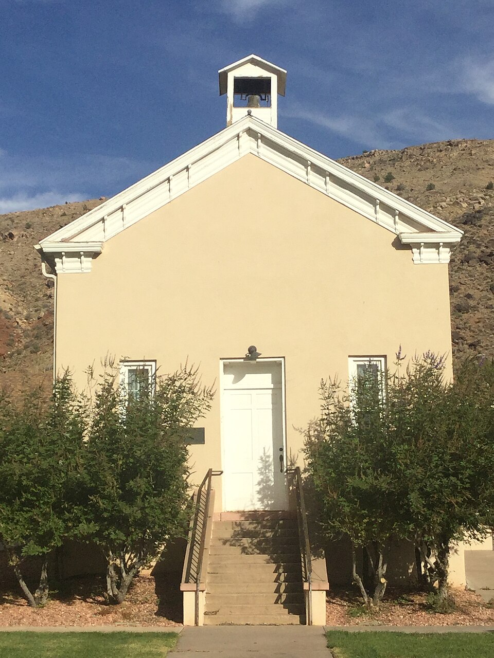
Listed on the National Register of Historic Places in 2020.
One of 93 National Register listings published here for Washington County · listed in 2020 · category: Building.
Sources: the National Register database, National Park Service
Regional context, not property-specific evidence. The federal wildfire occurrence database lists 186 fires within 5 miles of Toquerville Hall between 1992 and 2020, burning about 16,842 acres in total. 68 started naturally. 1 was recorded as arson. Distance is straight-line from the map coordinates, so a fire counted here may appear on a neighbouring settlement's page as well.
| Reported cause | Fires |
|---|---|
| Natural | 68 |
| Missing data/not specified/undetermined | 62 |
| Equipment and vehicle use | 25 |
| Debris and open burning | 13 |
| Fireworks | 7 |
| Recreation and ceremony | 3 |
| Misuse of fire by a minor | 2 |
| Power generation/transmission/distribution | 2 |
| Smoking | 2 |
| Firearms and explosives use | 1 |
| Arson/incendiarism | 1 |
The most recent of them, most recent first, with the day each was reported and the service that recorded it.
| Date | Cause | Size | Reported by | Name on the report |
|---|---|---|---|---|
| 9 September 2011 | Missing data/not specified/undetermined | under an acre | Utah Division Forestry Fire State Lands | LEEDS ASST #2 |
| 7 September 2009 | Natural | under an acre | Arizona Strip Field Office | TOQUERVILLE ASSIST 2 |
| 7 September 2006 | Natural | under an acre | Utah Division Forestry Fire State Lands | STANWORTH |
| 5 September 1995 | Missing data/not specified/undetermined | 5.0 acres | Utah Division Forestry Fire State Lands | TV TOWER TOQUERVILLE |
| 3 September 2012 | Natural | 5.0 acres | Utah Division Forestry Fire State Lands | HURRICANE ASSIST 05 |
| 3 September 2009 | Natural | under an acre | Utah Division Forestry Fire State Lands | LEWIS |
| 3 September 1995 | Missing data/not specified/undetermined | 10 acres | Utah Division Forestry Fire State Lands | TOQUERSVILLE SOUTH |
| 28 September 2005 | Natural | 681 acres | Cedar City Field Office | FALLS |
Regional context, not property-specific evidence. The federal mineral resources record lists 86 workings within 5 miles of Toquerville Hall: 61 past producers, 10 producers, 6 prospects, 5 occurrences. 10 still produce. What was taken out: Sand and Gravel, Construction, Silver, Uranium, Copper. Distance is straight-line from the map coordinates, so a quarry counted here may appear on a neighbouring settlement's page as well.
| Where | Site | Commodity | Status | Recorded |
|---|---|---|---|---|
| Chloride Chief | Silver, Uranium, Copper, Vanadium | Past Producer | Carnotite, Cerargyrite, Malachite, Vanadinite | |
| Hot Rock #1 | Uranium, Vanadium, Silver | Past Producer | Underground | |
| Hot Rock No.1 | Vanadium, Silver, Uranium | Past Producer | ||
| La Verkin Dixie Hot Springs | Geothermal | Unknown | ||
| Nevada | Copper, Uranium, Silver | Past Producer | ||
| Sandstone Quarry | Stone, Dimension | Past Producer | Sedimentary | |
| Sandstone Quarry | Stone, Crushed/Broken | Past Producer | Sedimentary | |
| Sandstone Quarry | Silica | Past Producer | ||
| Vanderbilt No.5 Mines | Silver, Copper, Uranium | Past Producer | ||
| Virgin Manganese | Manganese | Occurrence |
Regional context, not property-specific evidence. The National Weather Service names Toquerville, the town this property stands in, in 12 storm reports between 1999 and 2024: 7 flash flood, 2 thunderstorm wind, 1 heavy rain, 1 hail. No death or injury is recorded in these reports. Each account below is quoted exactly as the forecast office filed it, from the NOAA Storm Events Database, and each date opens the federal record of that event.
| When | Event | Place named | Harm | What the report says |
|---|---|---|---|---|
| October 2024 | Thunderstorm Wind | Toquerville | $50,000 | Reports of property damage, large objects moved, and a solar panel relocated came from Toquerville. Time is estimated. |
| October 2004 | Flash Flood | Toquerville | $15,000 | no account filed |
| September 2002 | Flash Flood | Toquerville | $10,000 | Heavy rains, 1.00 inch in 7 minutes, in Toquerville produced flash flooding of a farmer's field and flooding of his barn. |
| October 2004 | Flash Flood | Toquerville | $10,000 | no account filed |
| October 2024 | Thunderstorm Wind | Toquerville | - | A wind gust of 58 mph was recorded at the Ash Creek mesonet site. |
| March 2023 | Flood | Toquerville | - | Law enforcement reported flooding in addition to video showing that Ash Creek was flowing outside of bankfull levels. An additional photo showed Ash Creek at the top of Blackridge at exit 36 was underwater. |
| July 2021 | Flash Flood | Toquerville | - | Washington County dispatch officials reported water over the road on State Route 17 near Toquerville, briefly closing the road. The bridge where water crossed the road is above full grown trees in the creek below, indicating a significant rise in water level. |
| July 2018 | Flash Flood | Toquerville | - | Heavy rain produced flash flooding that temporarily closed Interstate 15 near the town of Leeds. Flash flooding was also reported in Leeds and Washington City. |
| August 2014 | Flash Flood | Toquerville | - | Flash flooding occurred on both La Verkin Creek and Dry Creek, with the gauge along La Verkin Creek increasing to 800 cfs. |
| August 2012 | Flash Flood | Toquerville | - | Multiple drainages southeast of the Pine Valley Mountains experienced flash flooding. |
| July 2012 | Hail | Toquerville | - | A thunderstorm dropped enough hail on Hurricane, Utah to cover the ground, with an estimated maximum hail size of 1 inch in diameter. |
| August 1999 | Heavy Rain | Toquerville | - | Heavy rain in Toquerville, with 2 inches falling in just one hour. |
No historic map-sheet match is published for this property yet. That does not mean no map exists. This record needs a coordinate-quality review before it can be joined to a sheet boundary. Browse the county's mapped places while that work is pending.
Other National Register properties close enough to walk or drive between, ordered by distance from this one. Both positions come from the same geocoding pass that matched these properties to their map sheets.
| Photograph | Property | Distance | Listed |
|---|---|---|---|
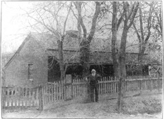 | John Steele House | under 500 feet | 1988 |
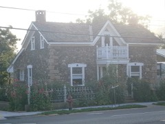 | Thomas Forsyth House | 0.2 miles | 1982 |
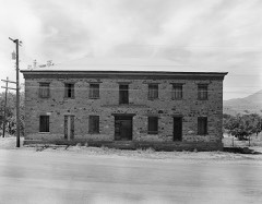 | Naegle Winery | 0.8 miles | 1980 |
| La Verkin Hydroelectric Power Plant | 4.1 miles | 2022 | |
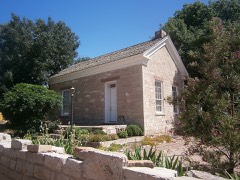 | Leeds Tithing Office | 4.5 miles | 1985 |
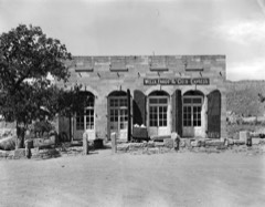 | Wells Fargo and Company Express Building | 4.6 miles | 1971 |
| National Archives record | The nomination case file for reference 100004878 in Record Group 79. |
| Washington County | All 93 listed properties in this county. |