Block
From the record
93 National Register listings published here.
Sources: the National Register database, National Park Service
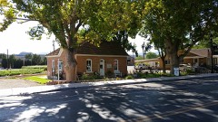
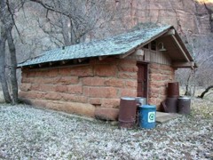
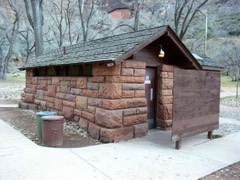
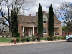
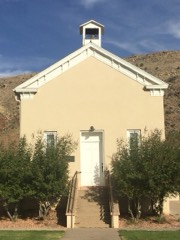
84 topographic sheets cover 38 settlements here, and 93 properties are on the National Register of Historic Places.
93 National Register listings published here.
Sources: the National Register database, National Park Service
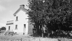
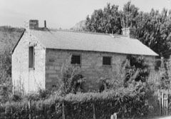
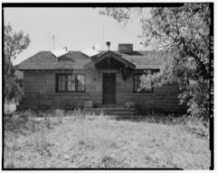
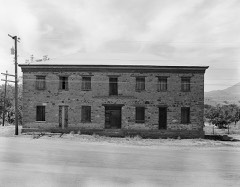
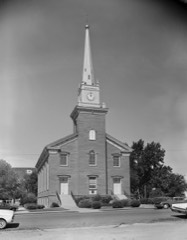
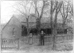
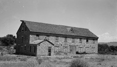
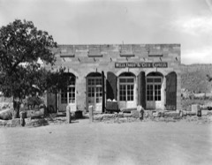
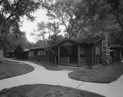
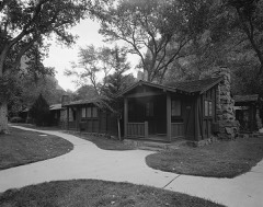
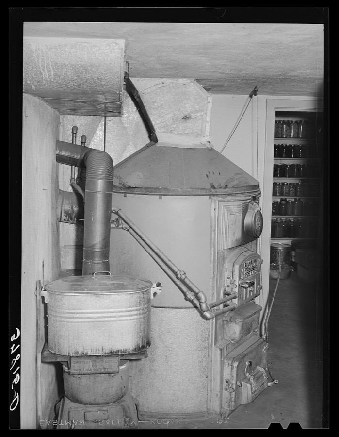
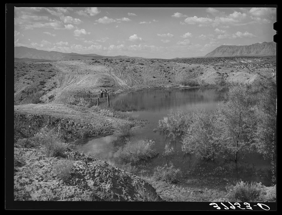
Taken for the Office of War Information and the Farm Security Administration, who photographed the country between 1935 and 1944. Works of United States government photographers, with no known restriction on use. Each opens its catalogue record.
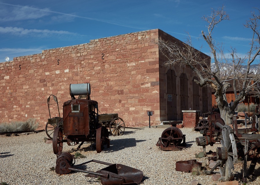
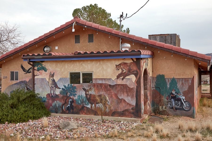
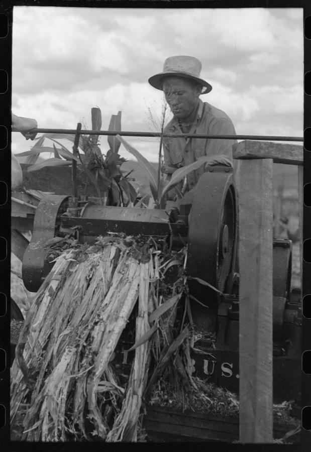
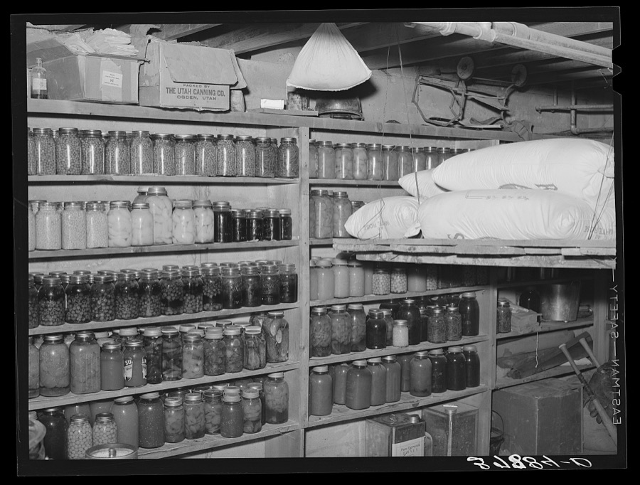


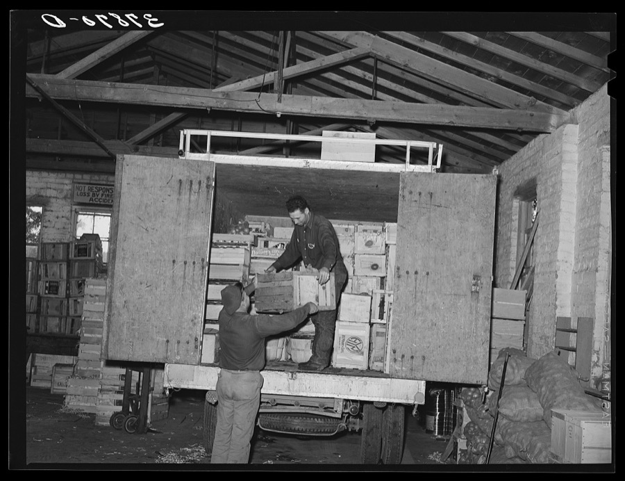
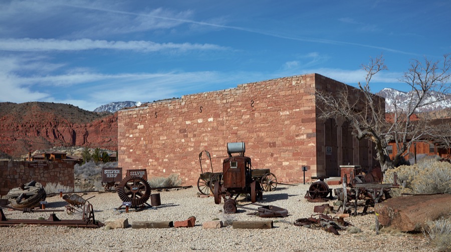
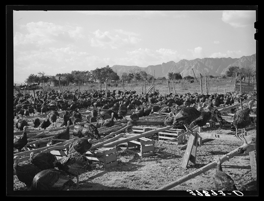


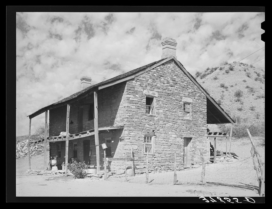

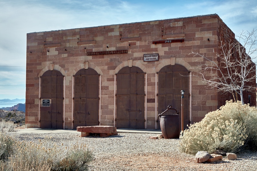
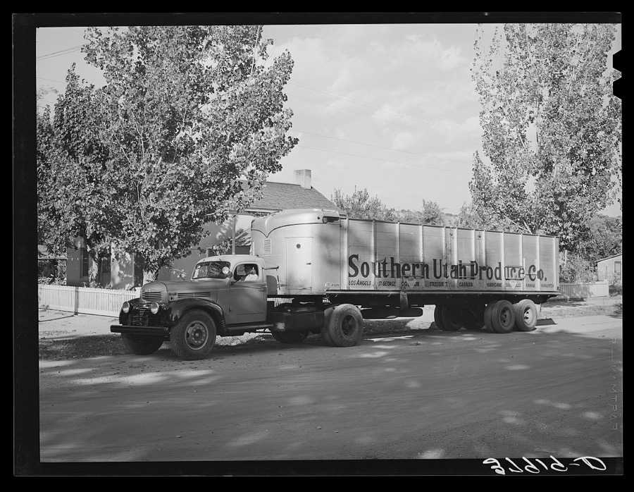

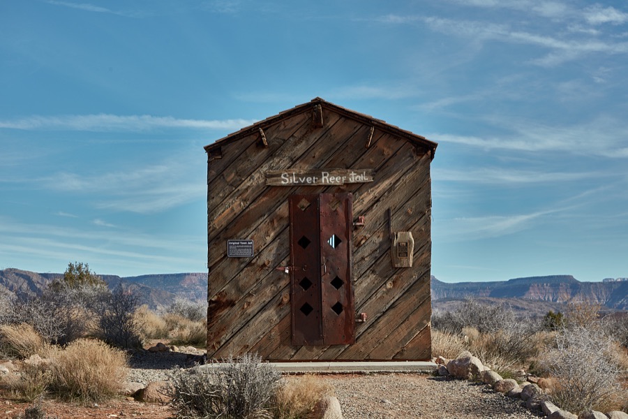
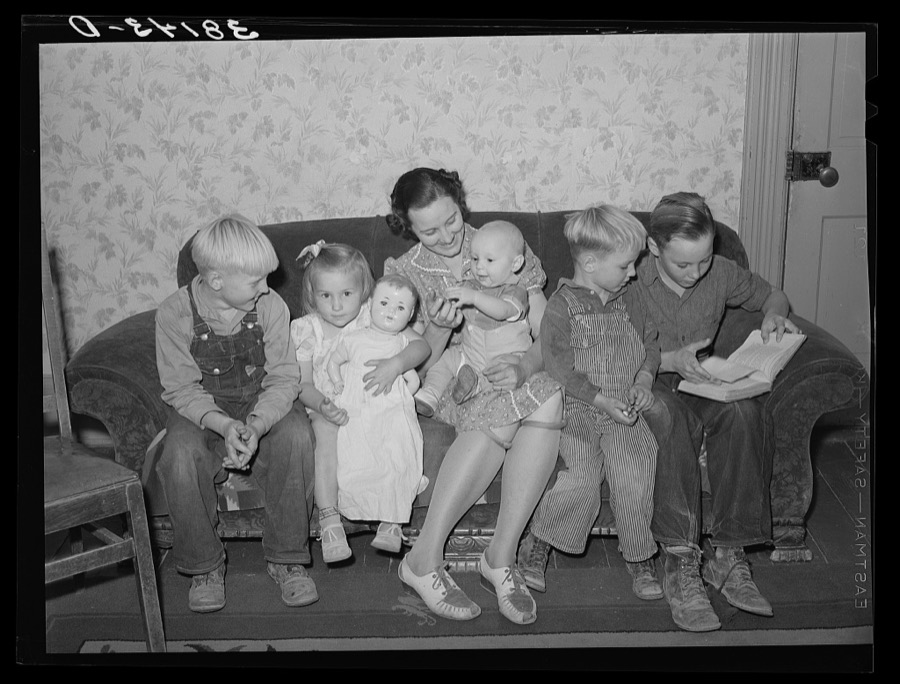
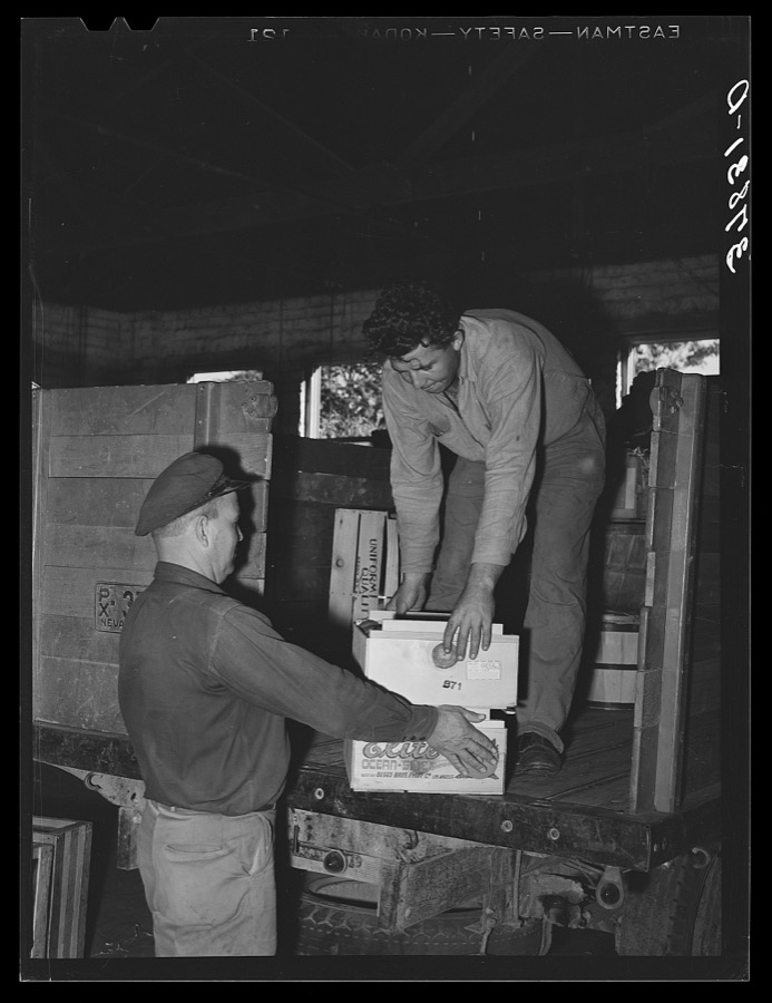
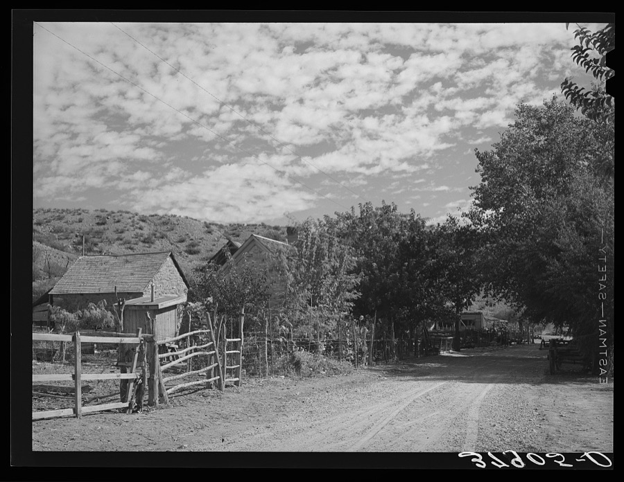
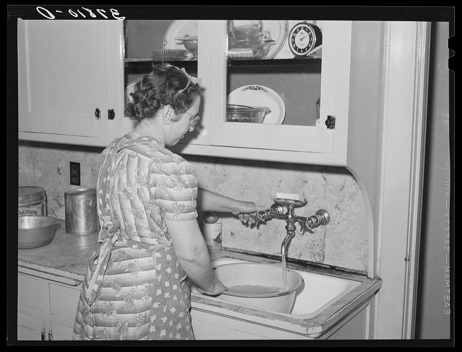
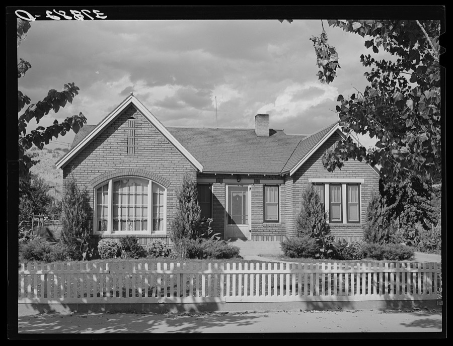
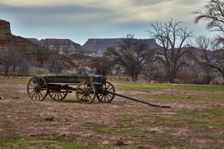
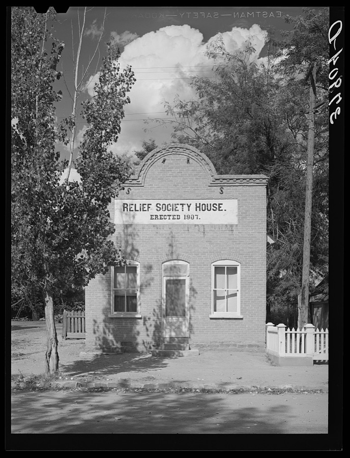
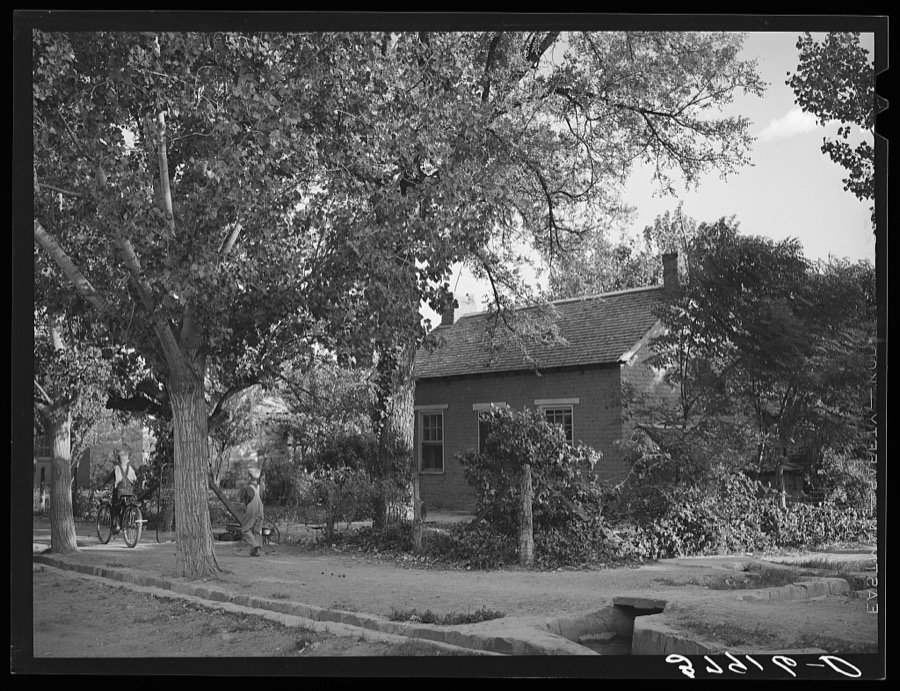
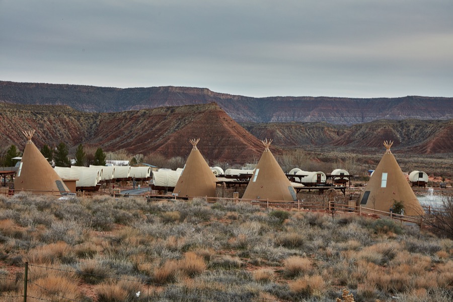
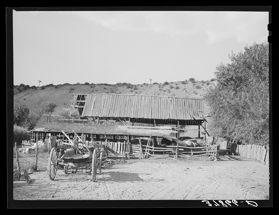
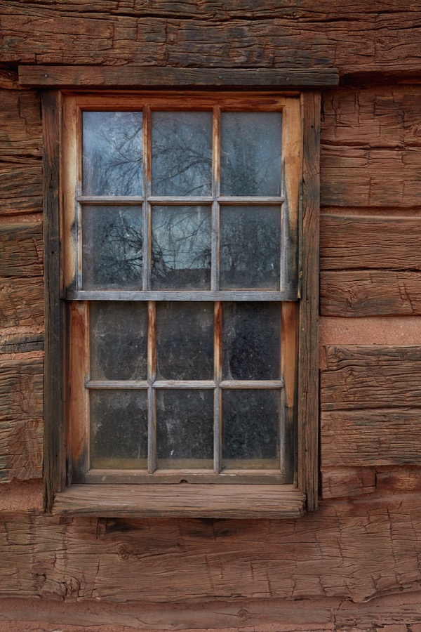


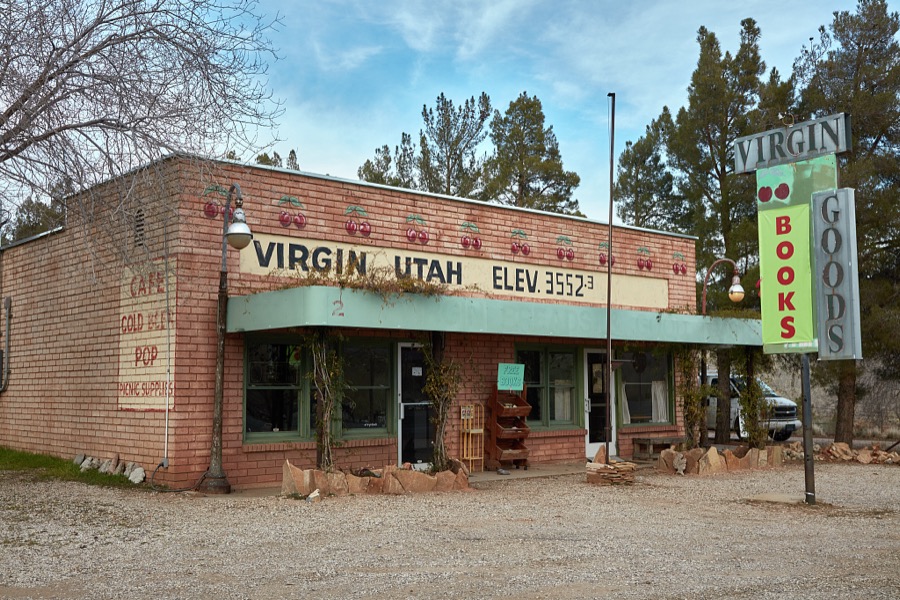

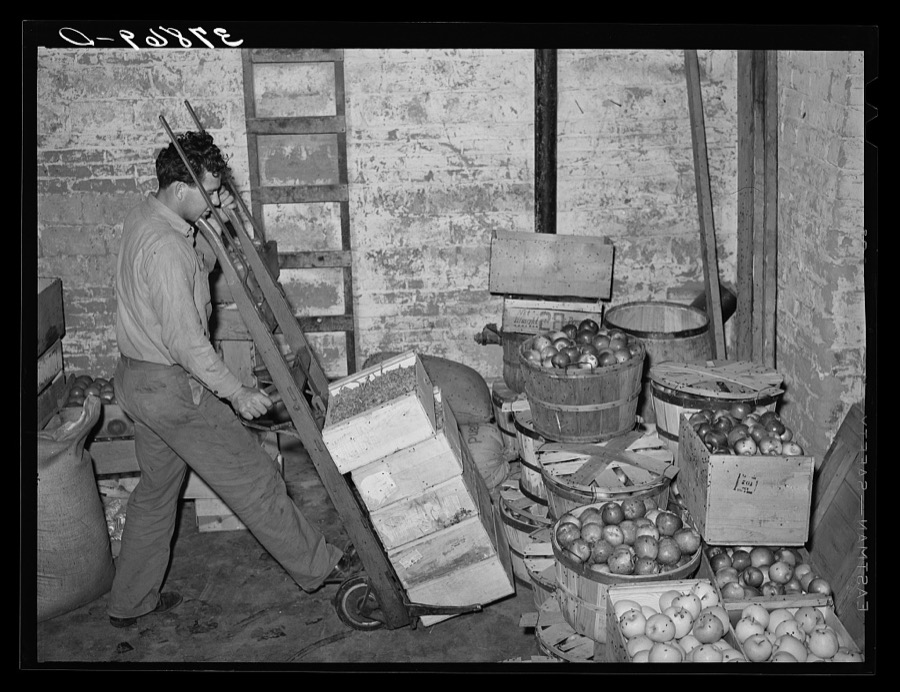
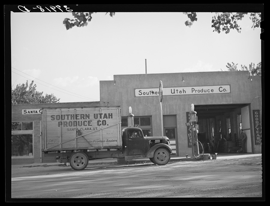
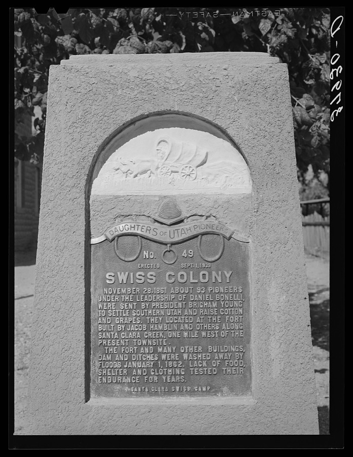
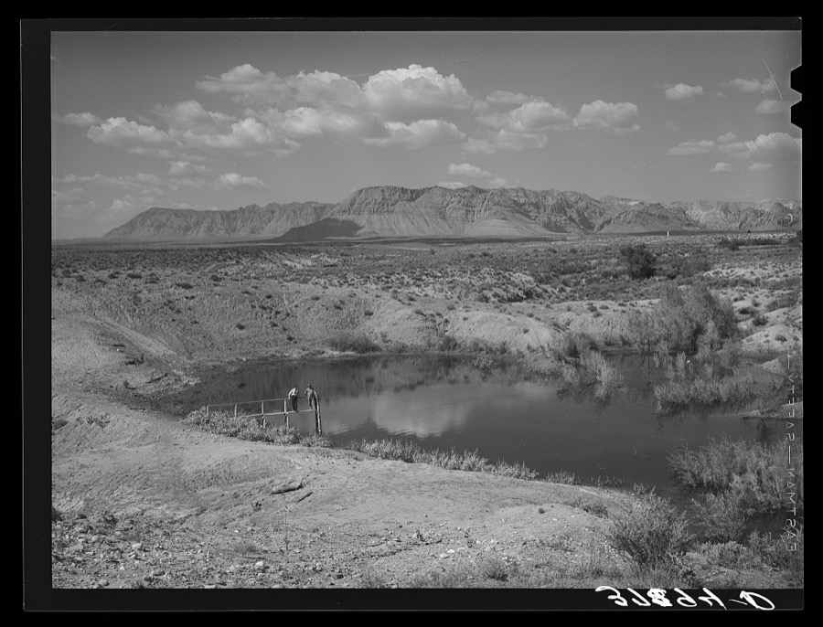
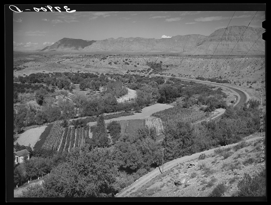
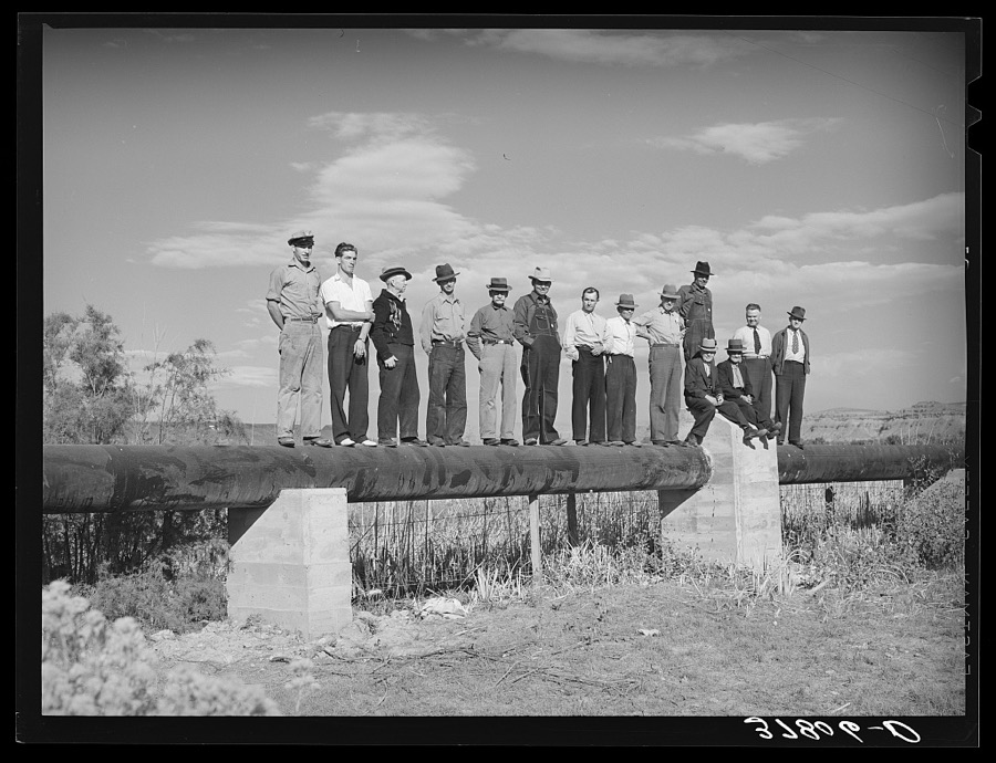
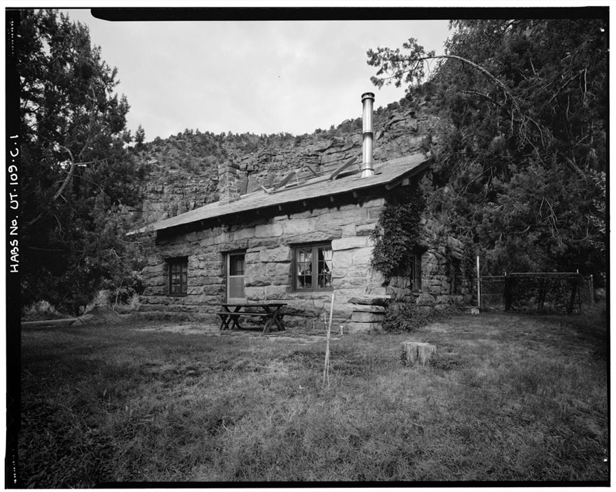
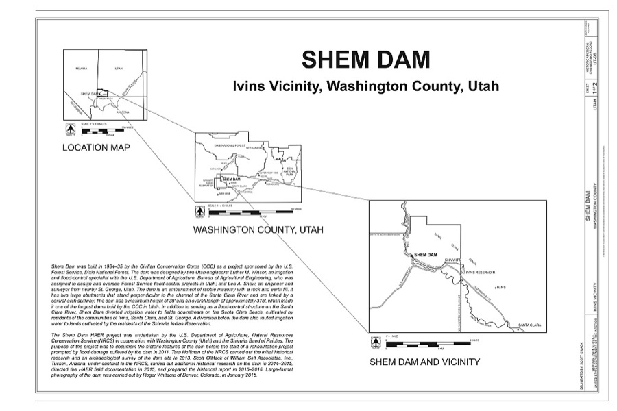
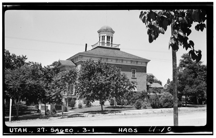
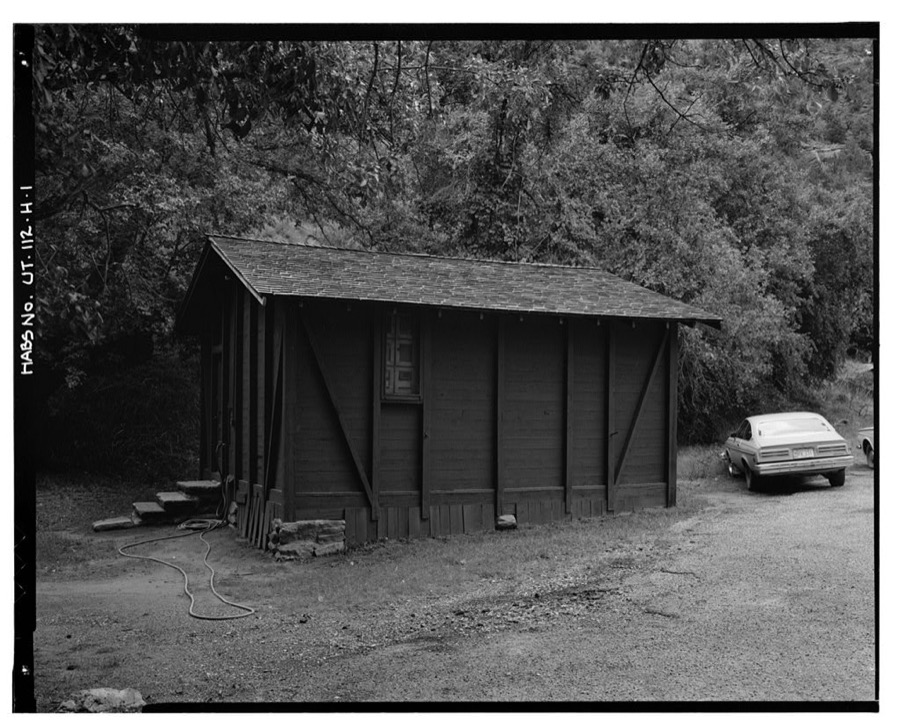
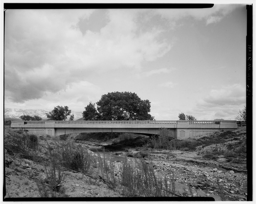
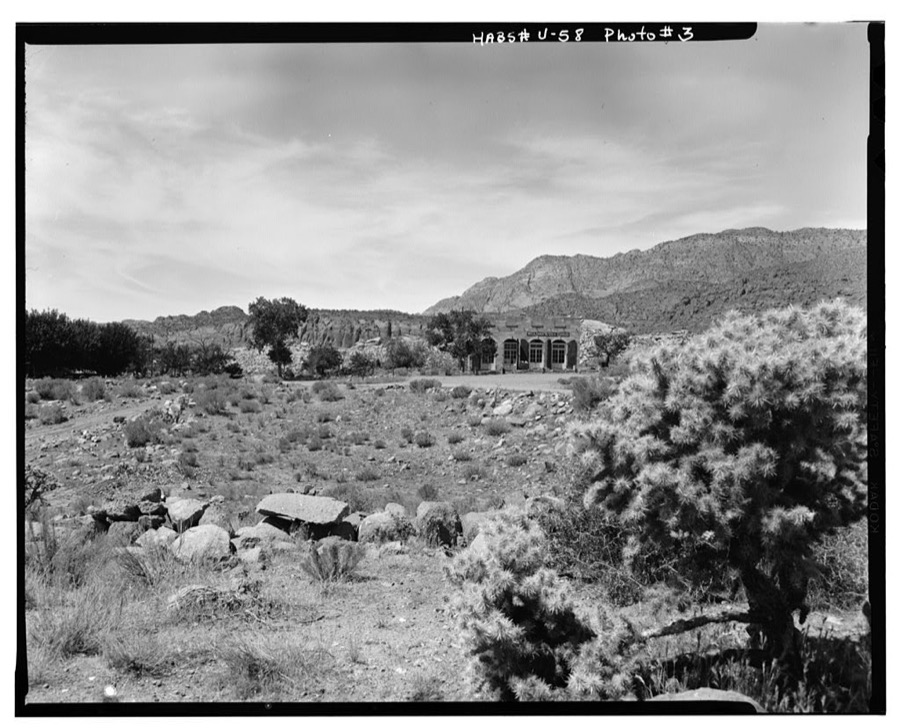
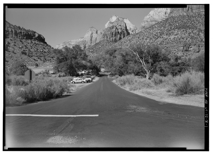
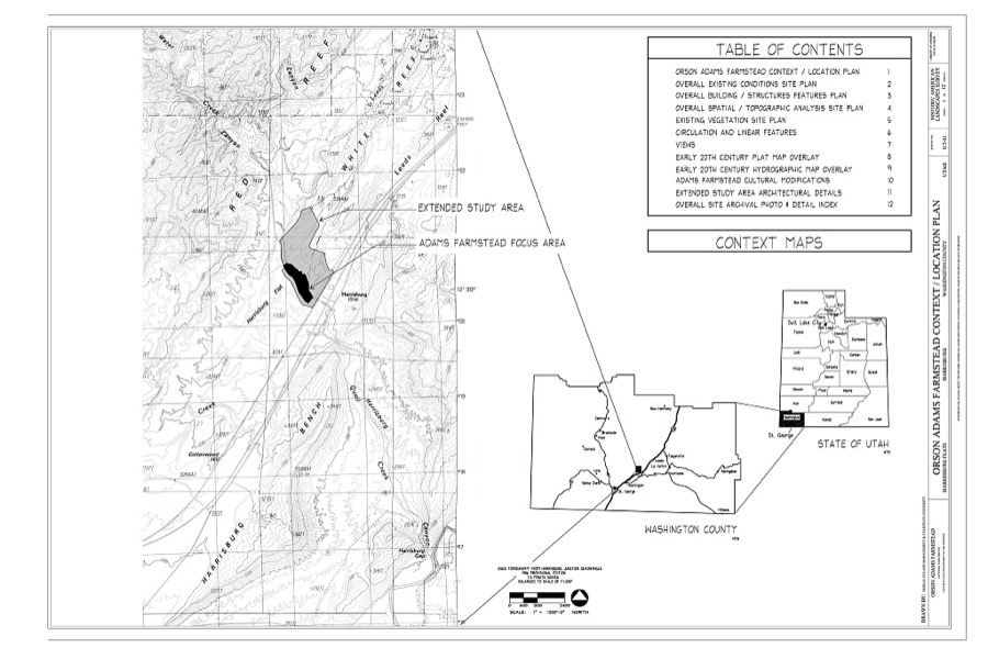
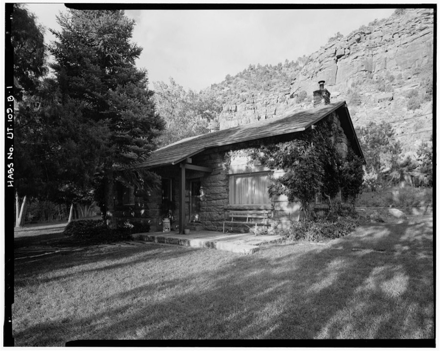
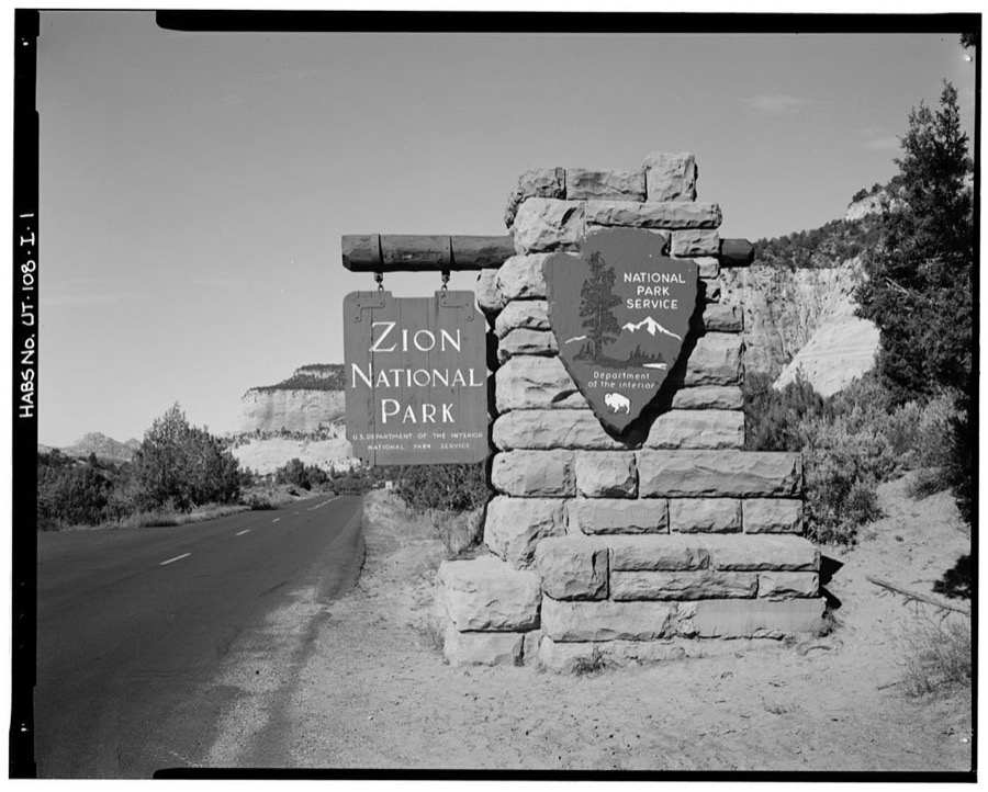
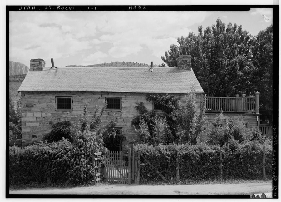
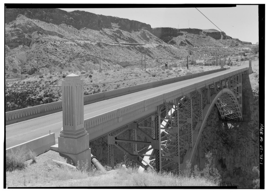
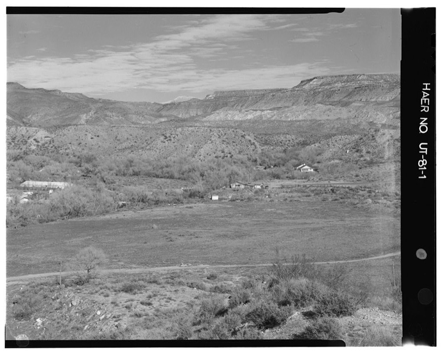
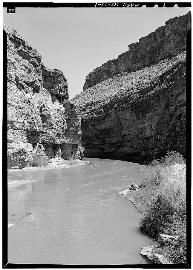
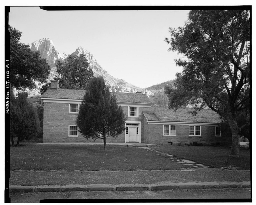
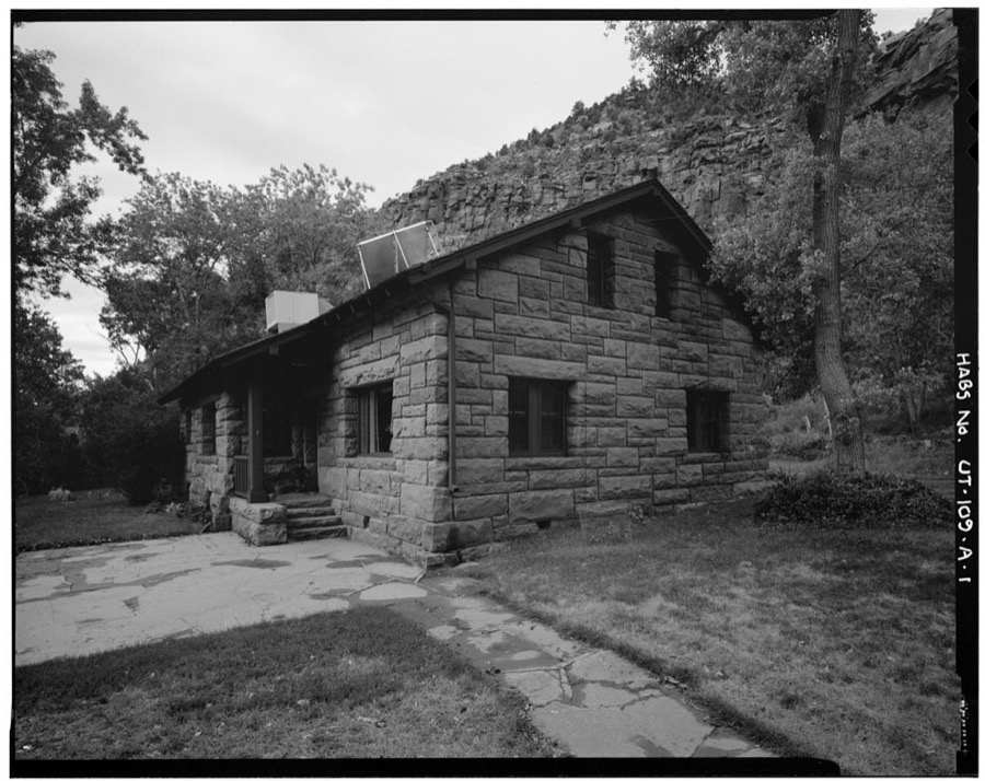
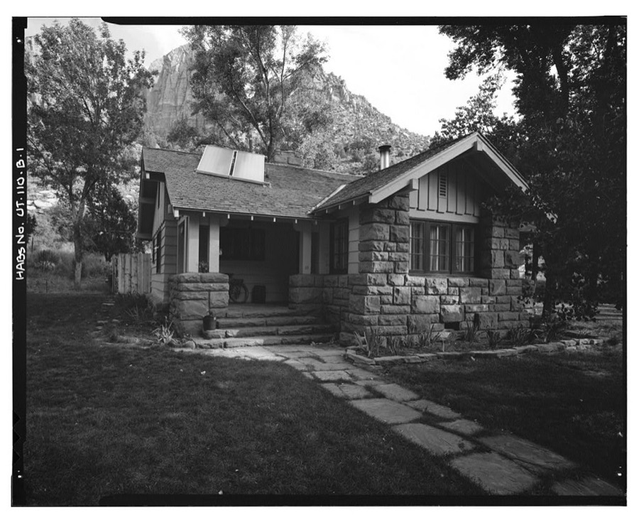
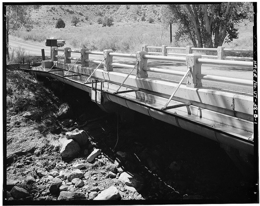
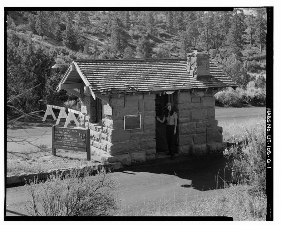
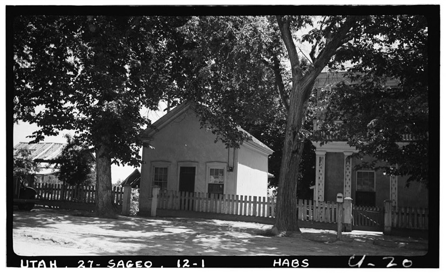
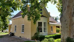
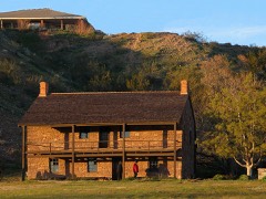
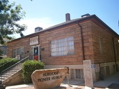
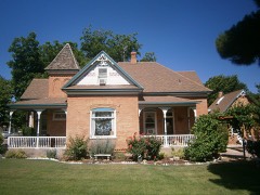
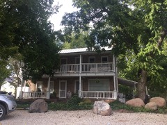
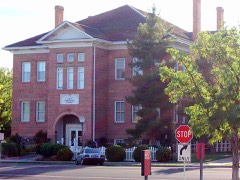
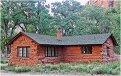
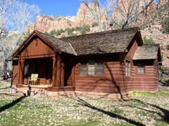
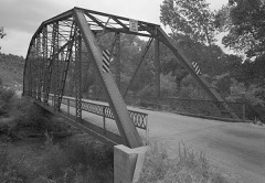
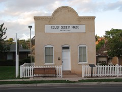
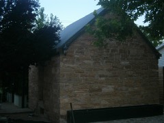
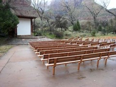
Every property in this county listed on the National Register of Historic Places, with the year it was listed and the federal nomination document.
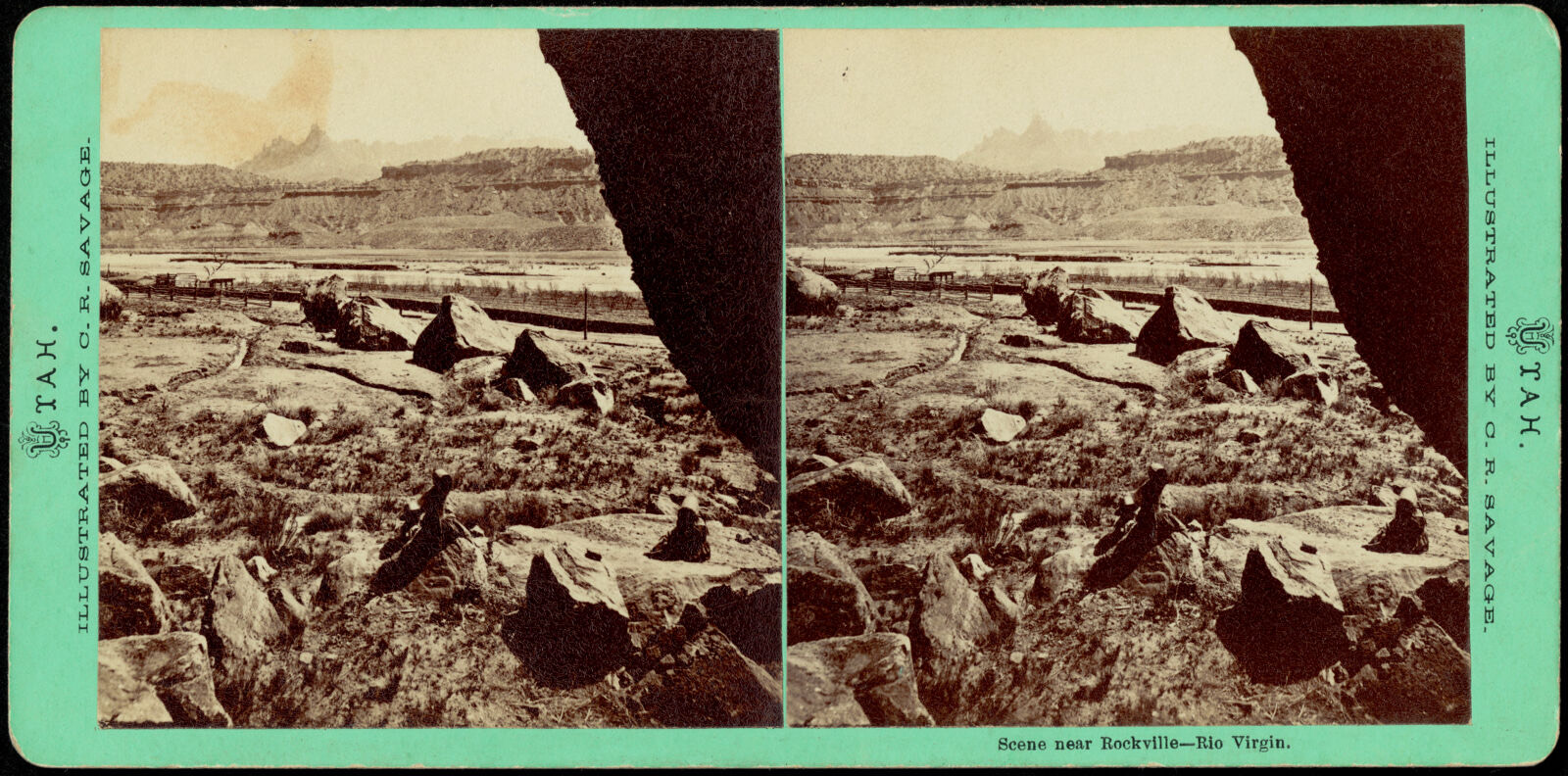
Selected from the Digital Public Library of America's 11 image records catalogued for this county. Every one shown here carries a public-domain status or a licence that permits reuse on a site that carries advertising; non-commercial, share-alike and restricted images are excluded. The selection is spread across the county's towns (at most eight per town), so no single institution's bulk upload crowds out the rest. Each opens the holding library's record, and the complete set at the Digital Public Library of America is one click away.
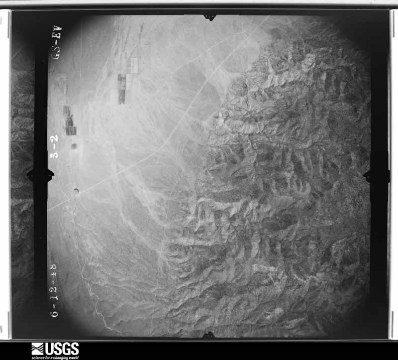
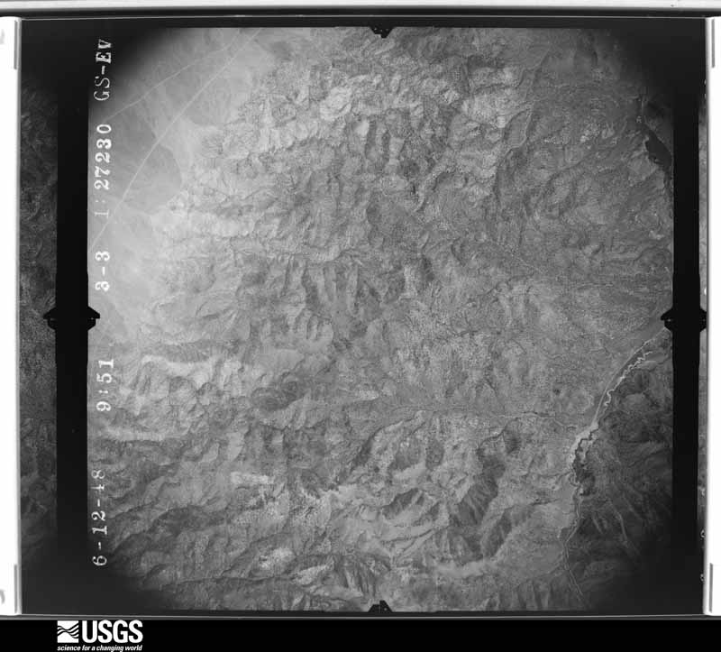
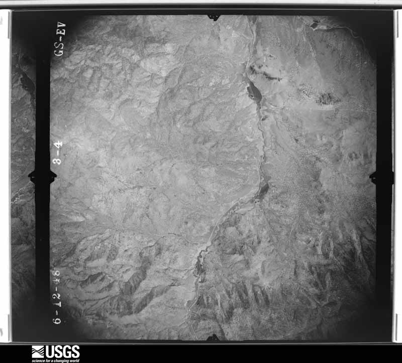
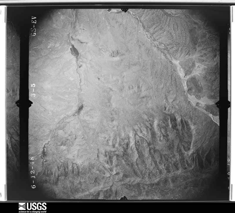
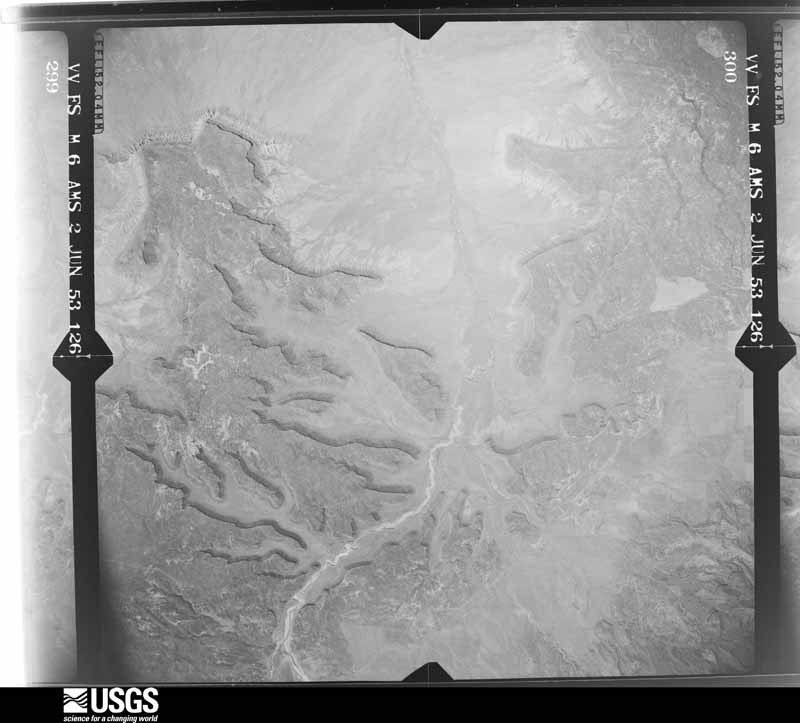
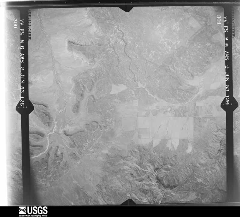
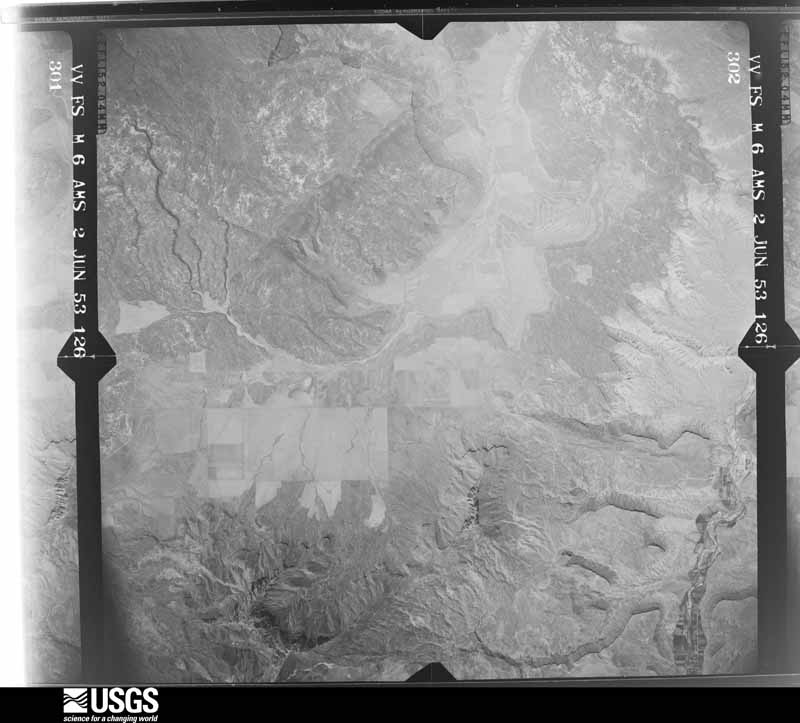
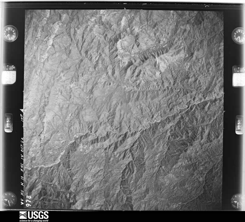
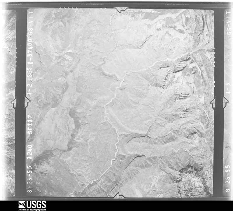
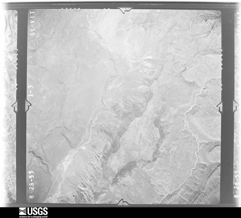
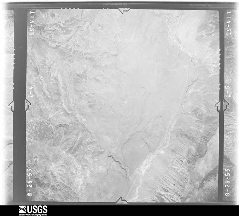
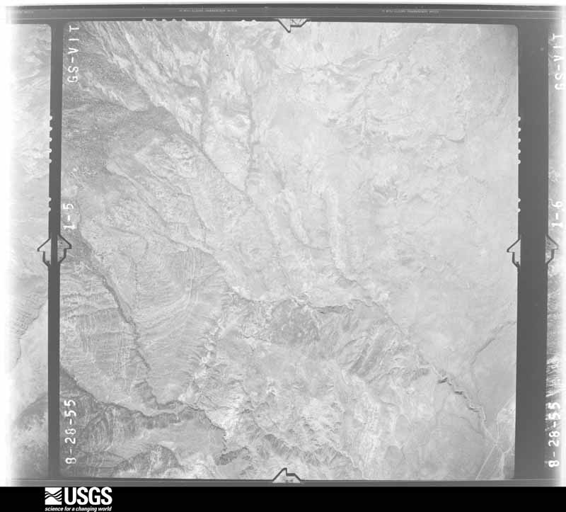
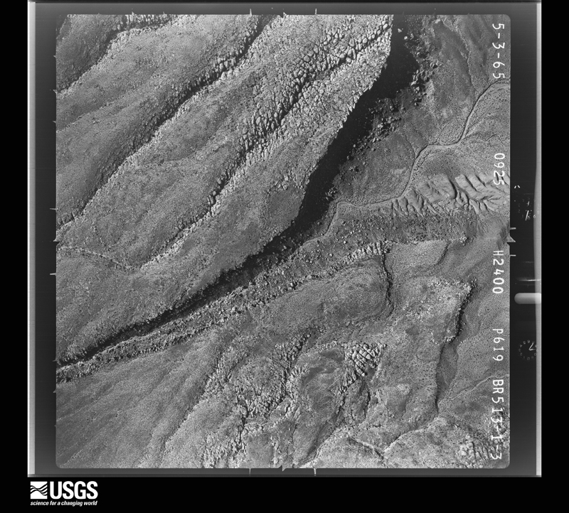
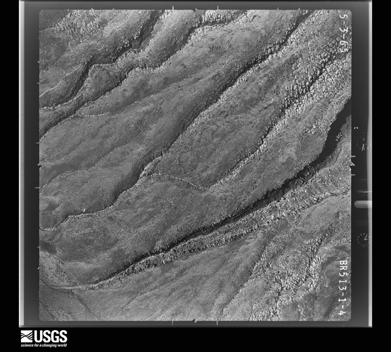
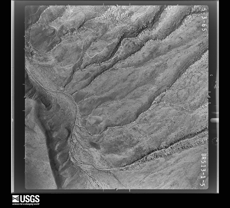
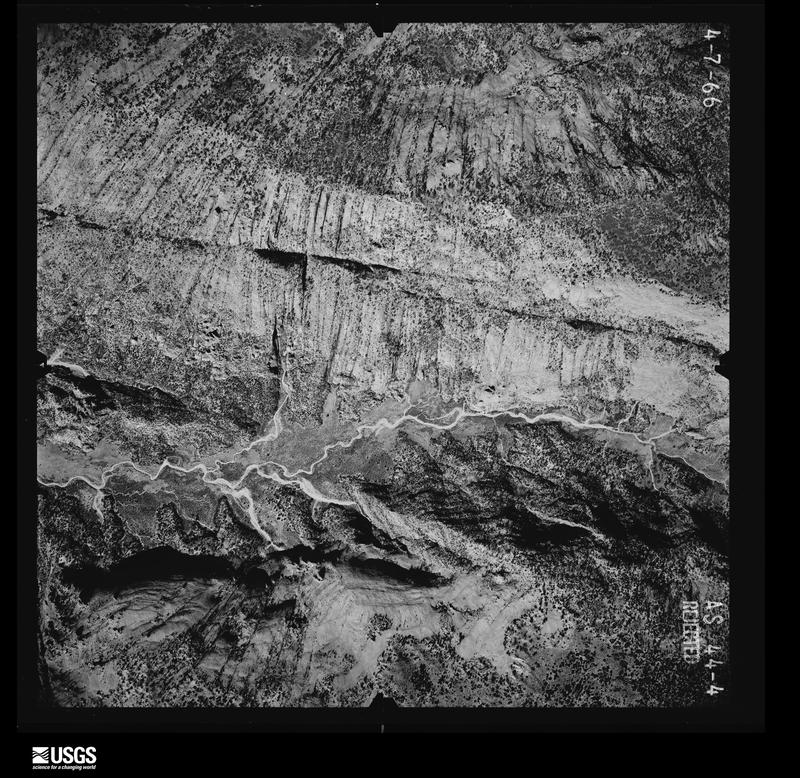
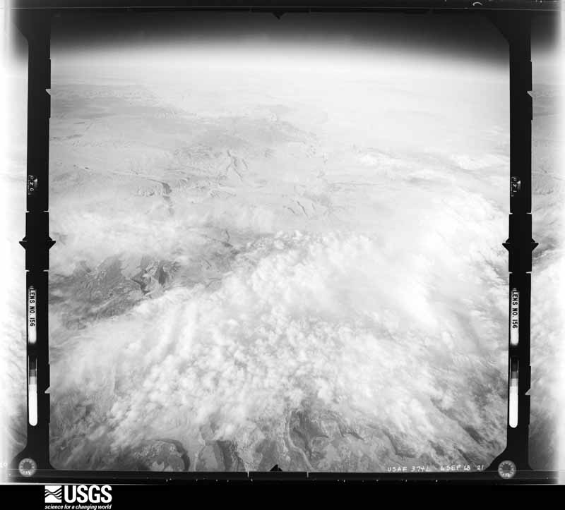
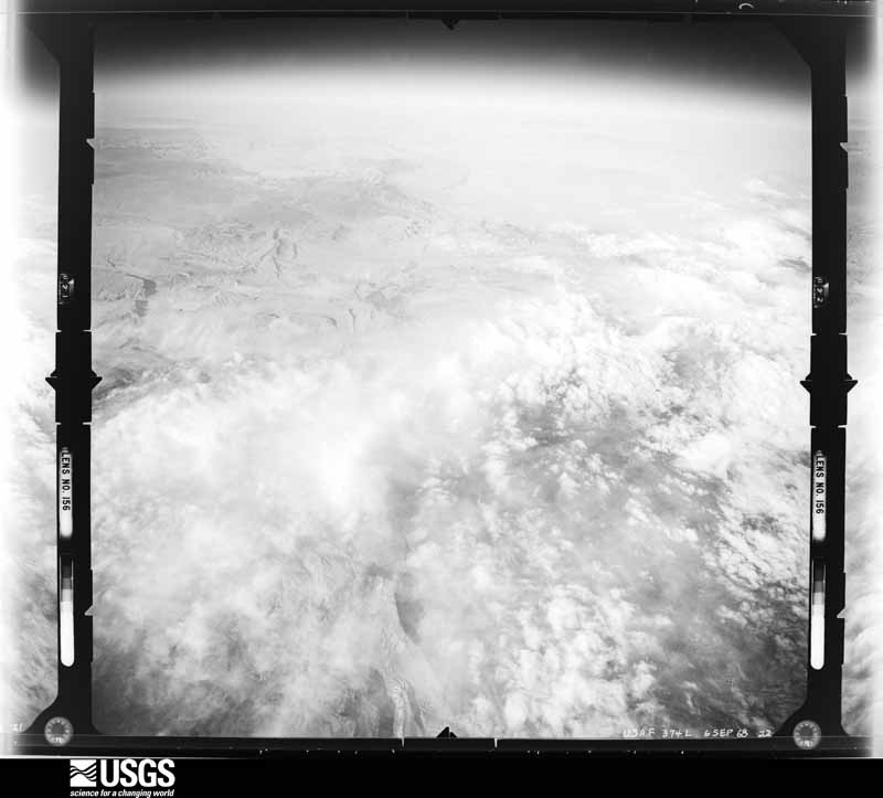
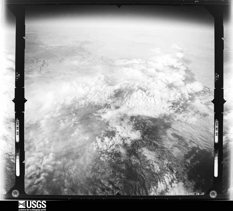
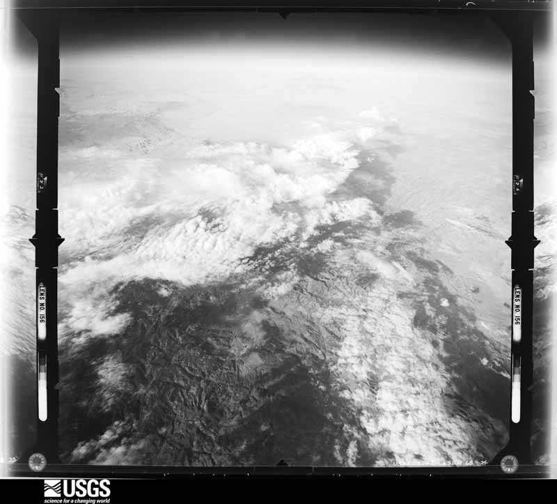
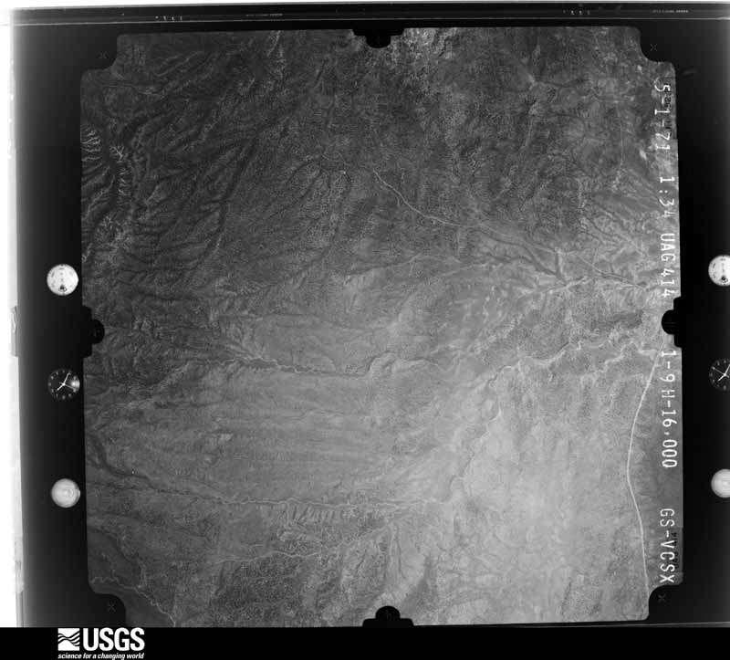
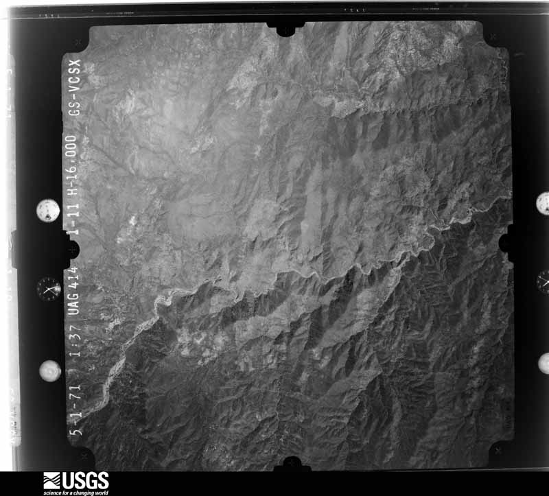
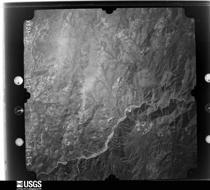
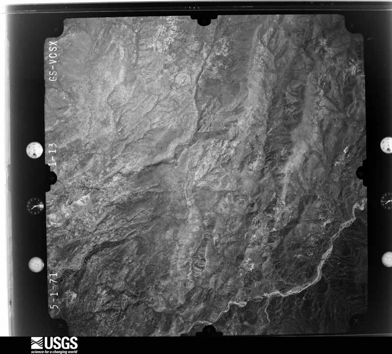
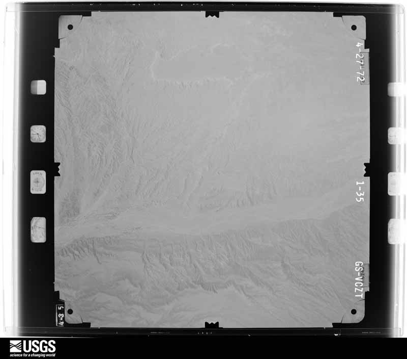
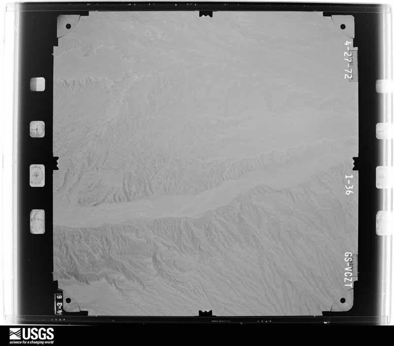
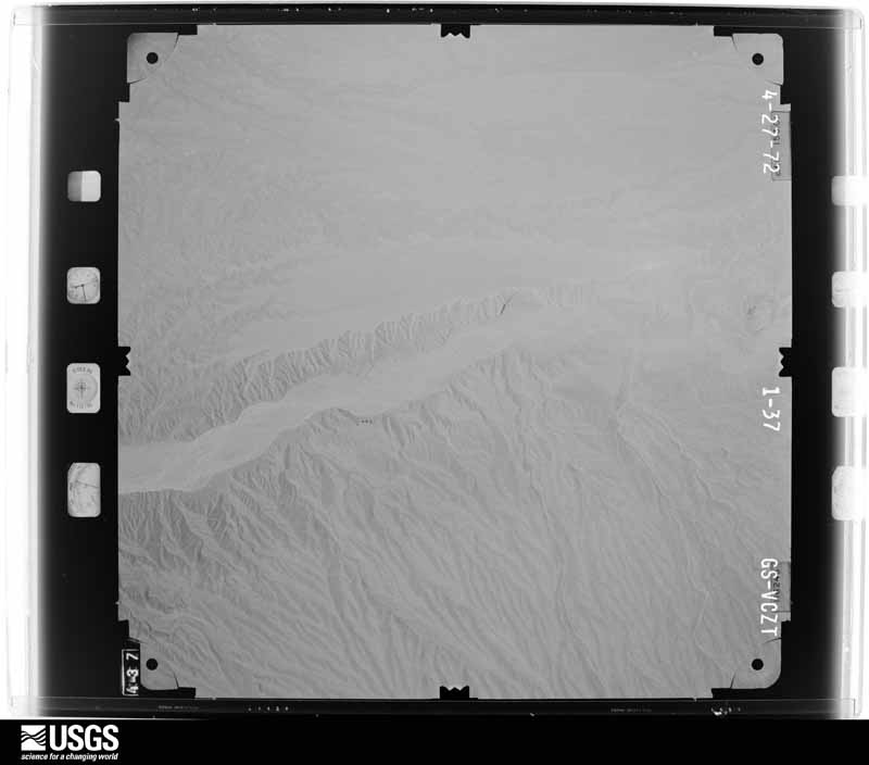
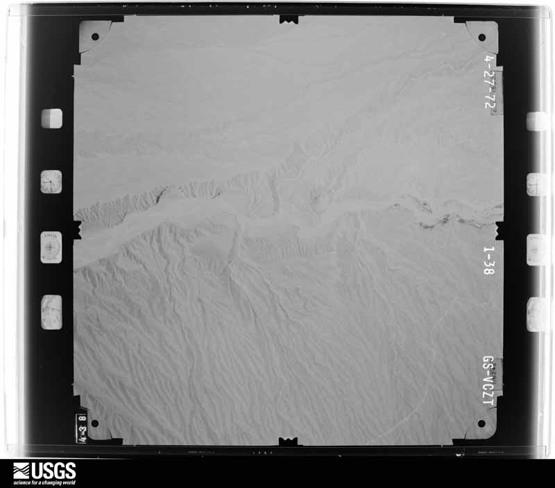
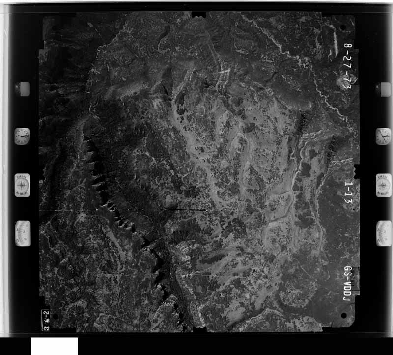
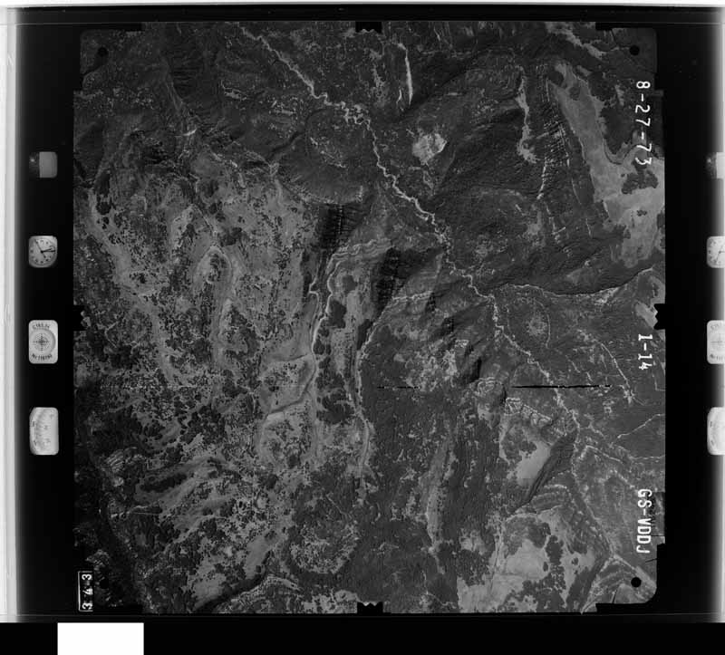
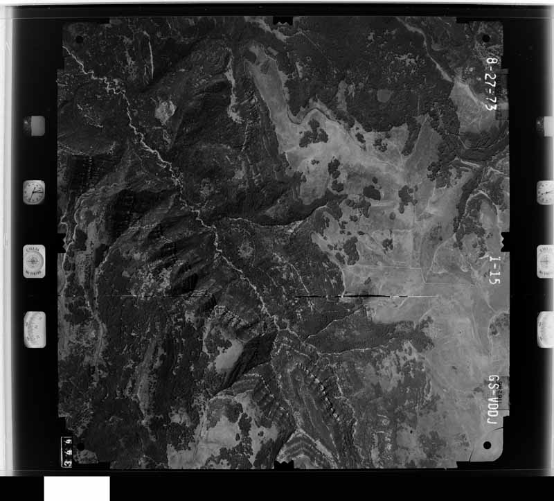
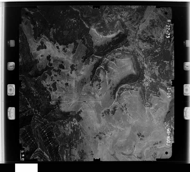
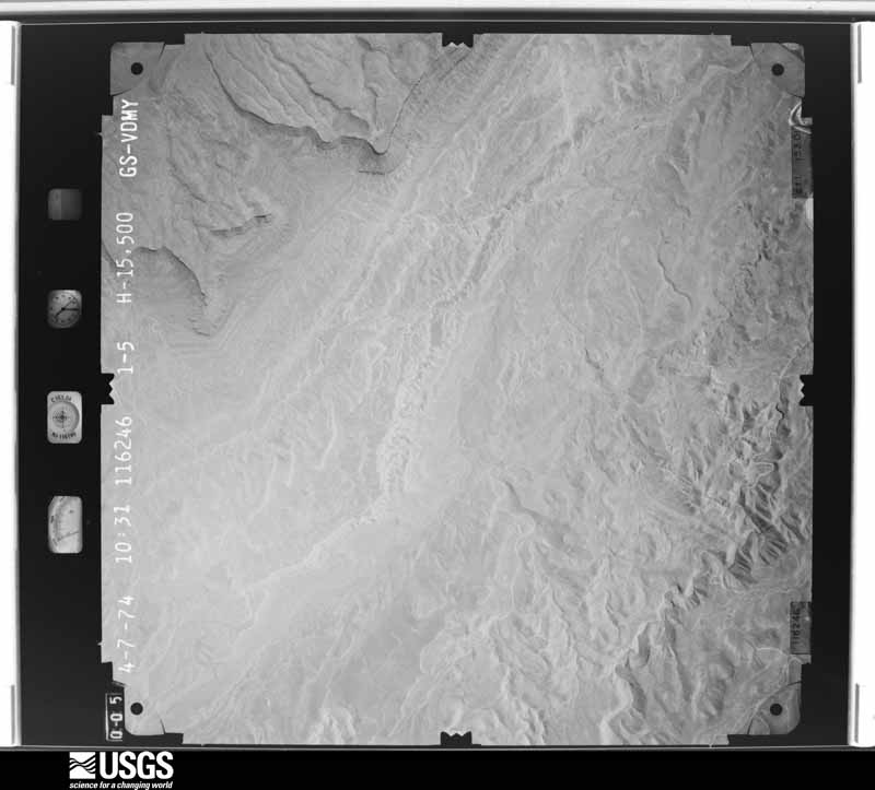
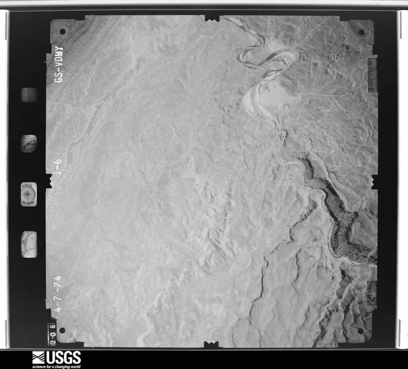
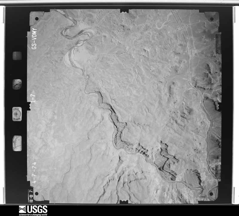
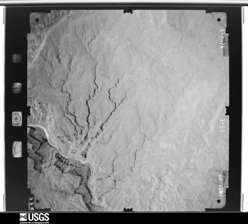
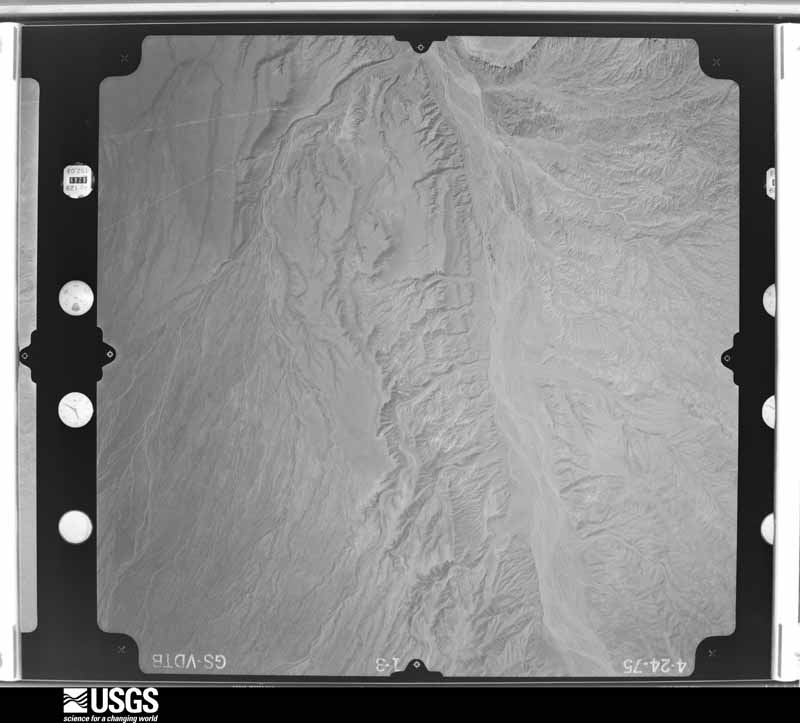
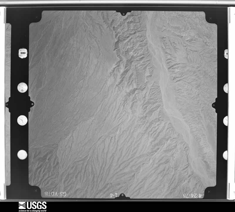
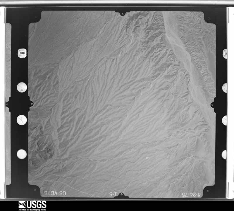
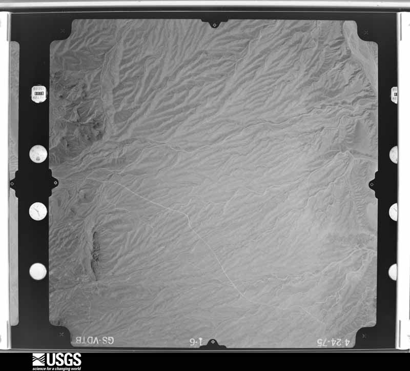
Flown by the U.S. Geological Survey between 1937 and 1989, the Aerial Photo Single Frames collection is the definitive mid-century view of the land: fields, roads and rivers as the camera saw them. The Survey holds 6,893 frames inside the rectangle that bounds this county; the 48 frames below were taken over the county itself, chosen across the decades of flights (at most four a year from that rectangle), so one flight cannot crowd out the rest. The full set is free to browse and download at EarthExplorer under the dataset Aerial Photo Single Frames.
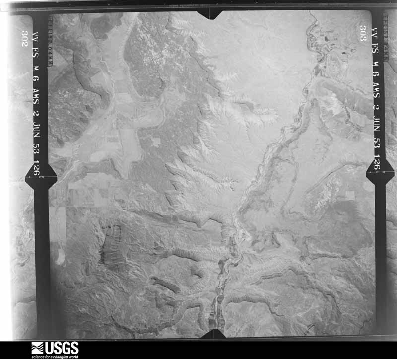
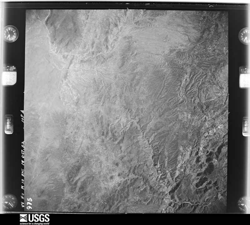
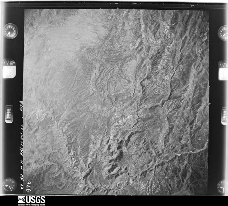
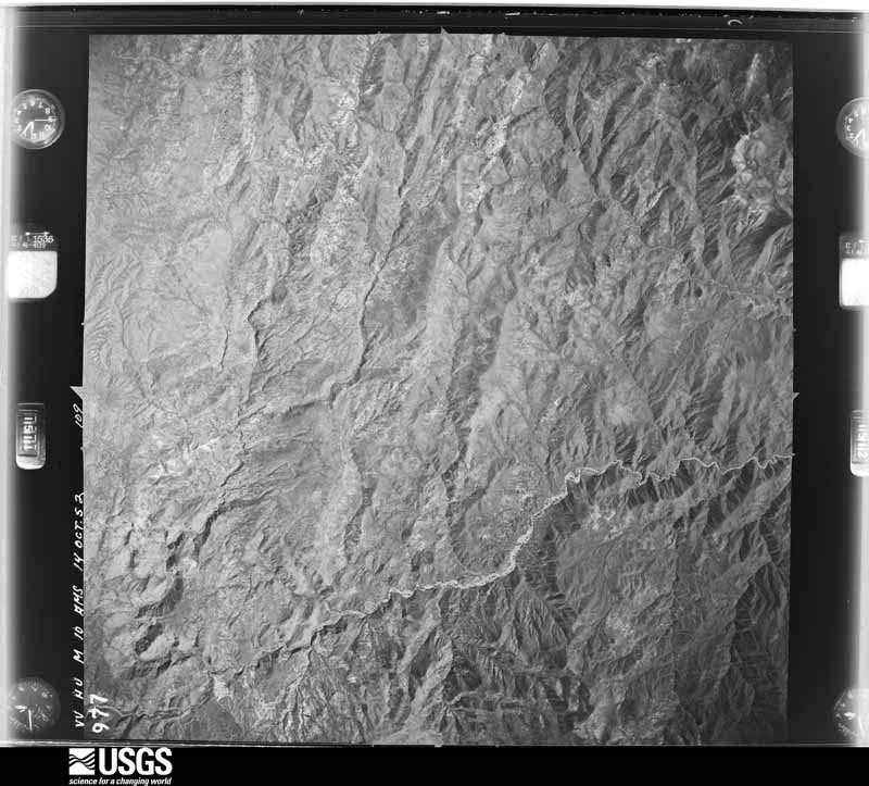
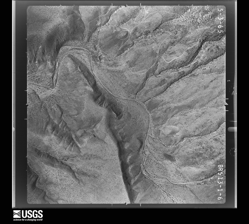
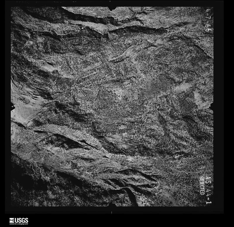
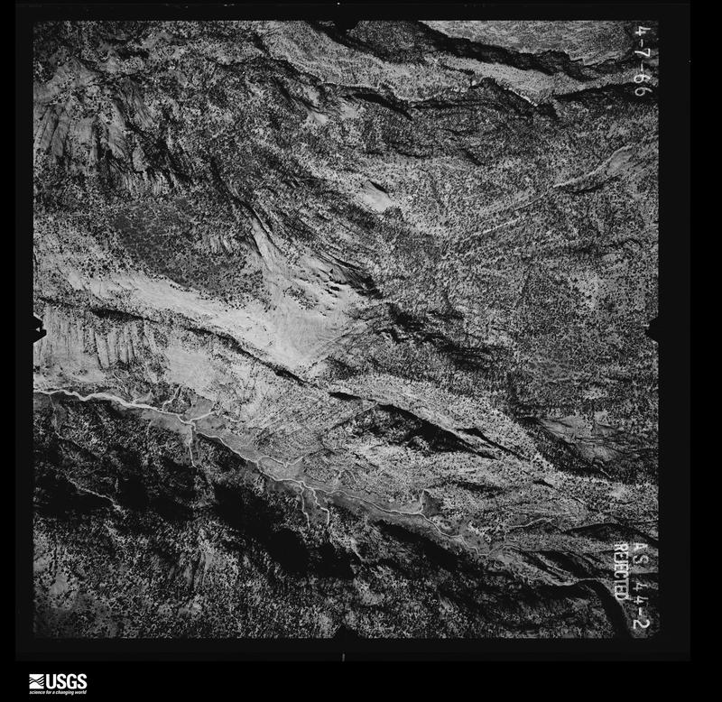
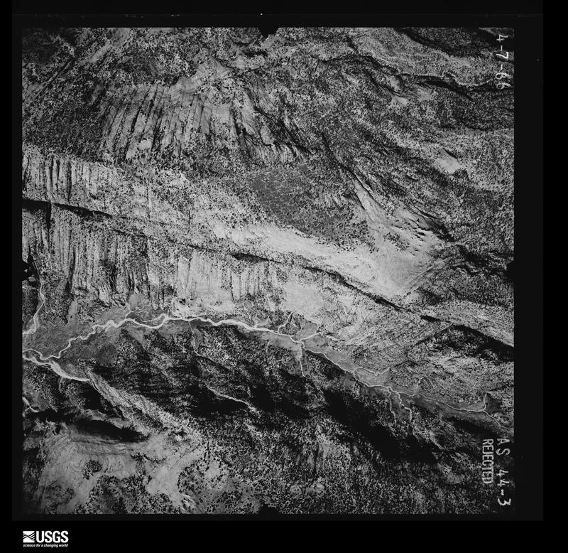
The thermometers that kept this county's weather, and the gages that measured the flow of its streams, as the federal records hold them. The extremes below are measured values from those records, not estimates.
Who lived here in 1950, one enumeration district at a time, as the Census Bureau described each district. Each row opens its official National Archives result, with Population Schedules and ED Maps available there.
Every wildfire the federal occurrence database records inside this county: 2,807 of them, burning about 549,839 acres. 1,628 started naturally and 19 were recorded as arson. Each settlement page carries the fires within five miles of it.
| Reported cause | Fires |
|---|---|
| Natural | 1628 |
| Missing data/not specified/undetermined | 563 |
| Equipment and vehicle use | 164 |
| Recreation and ceremony | 144 |
| Debris and open burning | 113 |
| Fireworks | 63 |
| Misuse of fire by a minor | 39 |
| Power generation/transmission/distribution | 29 |
| Smoking | 24 |
| Arson/incendiarism | 19 |
| Firearms and explosives use | 13 |
| Other causes | 8 |
The five largest, by the area the report gives. None of them was recorded as arson.
| Date | Cause | Size | Reported by | Name on the report |
|---|---|---|---|---|
| 23 June 2005 | Natural | 65,480 acres | Cedar City Field Office | WESTSID CX |
| 25 June 2006 | Recreation and ceremony | 50,737 acres | Cedar City Field Office | JARVIS |
| 28 June 2006 | Natural | 41,451 acres | Cedar City Field Office | BULL COMPLEX |
| 28 June 2003 | Recreation and ceremony | 29,933 acres | Cedar City Field Office | APEX |
| 26 June 2004 | Natural | 18,235 acres | Cedar City Field Office | SQUARE |
| 24 June 2006 | Missing data/not specified/undetermined | 17,632 acres | Cedar City Field Office | KOLOB |
| 30 July 1995 | Natural | 12,641 acres | Cedar City Field Office | CEDAR POCK |
| 25 July 2009 | Natural | 12,607 acres | Dixie National Forest | MILL FLAT |
Every settlement page carries the fires within five miles of it - see the settlement index below.
The NOAA Storm Events Database holds 426 reports for this county, causing 26 deaths, 26 injuries and about $51,389,030 in recorded property damage. Each settlement page carries the reports that name it.
| Kind of event | Reports |
|---|---|
| Flash Flood | 277 |
| Thunderstorm Wind | 82 |
| Hail | 26 |
| Heavy Rain | 16 |
| Flood | 15 |
| Tornado | 4 |
| Lightning | 4 |
| Debris Flow | 2 |
The most serious of them, by death, then injury, then recorded damage. The accounts are quoted exactly as the forecast office filed them.
| When | Event | Place named | Harm | What the report says |
|---|---|---|---|---|
| September 2015 | Flash Flood | Grafton | 13 killed, 3 hurt, $750,000 | A thunderstorm producing heavy rain moved over Hildale, Utah in the early afternoon, producing flash flooding along Short Creek and other neighboring drainages. This water flooded Highway 59, and portions of the road were closed and gated off, as this is a somewhat common occurrence for the community. However, a second strong thunderstorm trained through the area, producing very significant flooding out of Maxwell and Jans Canyons.||This second flood swept across a group of 16 people who had been waiting for the initial flood waters to recede. When the second flood began, the group retreated to the two vans they had been traveling in, and the large flood swept the vans away and down the channel. Three of these people were rescued and survived, but the remaining 13 people were killed by the flood. Three of these 13 victims were women, while the remaining 10 were children under the age of 12.||Property damage was also extensive across the area, including damage to water lines, area roadways, power lines, bridges, and other infrastructure. In addition, multiple private homes had flood and mud damage, while several others had minor water damage. Multiple vehicles were also destroyed in the flood. |
| September 2015 | Flash Flood | Zion Lodge | 7 killed | Multiple rounds of heavy rainfall brought flash flooding to Zion National Park, including along North Creek, but the most notable flood occurred in Keyhole Canyon. A group of seven people entered Keyhole Canyon in the early afternoon, planning to travel through the small but popular canyoneering route. Flooding in Keyhole Canyon occurred quickly; no one in the group was able to escape the canyon or get to higher ground, and the flood killed all seven individuals. The seven victims were between 51 and 59 years old. |
| July 1998 | Flash Flood | Zion National Park | 2 killed | no account filed |
| August 2022 | Flash Flood | Zion Lodge | 1 killed, 1 hurt | Flows increased on the North Fork of the Virgin River in Zion National Park. The trail became impassable near the mouth of The Narrows. Flood waters in The Narrows swept some hikers off their feet and isolated others on higher ground. Two people were swept downstream. One was swept a couple of hundred yards and found. The individual survived with minor injuries. The other was reported as missing to Zion National Park officials later that evening, and was found deceased the following Monday. The North Fork Virgin - Springdale river gauge, which is downstream from The Narrows, rose from approximately 75 cfs to 735 cfs, corresponding to a rise of slightly over 2 feet in height. |
| September 2014 | Flash Flood | Zion National Park | 1 killed, $350,000 | Flooding was again widespread across Washington County, with floods reported in Enterprise, Ivins, Santa Clara, St. George, and Springdale, among others. Most rivers and washes in the area experienced flooding, with particularly high flows in the Beaver Dam Wash and the Virgin River. Rock and mud slides were common across the area, temporarily closing several highways across the county. Flooding also occurred across much of Zion National Park, with the park closing for a period of time due to flooding and debris on roadways. This flooding included in the popular Narrows section of the park, where two hikers were stranded by the flood waters; one of the hikers escaped to safety, but the other, a 34-year-old male, died in the flood. ||In Enterprise, many roadways flooded, and a few businesses were damaged by flood waters. In Ivins, a few homes near 600 S and 400 W experienced flooding. In St. George, damage was most severe at the Southgate Golf Course, with the majority of holes inundated with water. |
| August 2012 | Flash Flood | Pintura | 1 killed | Flash flooding occurred along La Verkin Creek on the evening of August 1st, with significant rises in the water level. At the same time, a 2-year-old girl was noticed missing from her home in the city of La Verkin, which was close to the creek. The girl passed away when she drowned in the Creek, and her body was found a couple hours after she had been reported missing. |
| May 2001 | Flash Flood | Zion National Park | 1 killed | A 10-year-old boy was killed and his 5-year-old brother had to be rescued as a burst of heavy rain at Zion National Park caused flash flooding. The boy was hiking with his family when the storm came through. The boy and his brother ran ahead and reached a part of the trail where water was flowing across. They attempted to cross in the narrow canyon but were swept away. The older boy was swept over the ledge falling more than 100 feet, while the younger boy was able to hold onto a tree before being rescued. |
| January 1997 | Flash Flood | St George | 11 hurt, $5,000,000 | no account filed |
| July 2010 | Flash Flood | Springdale | 3 hurt | Heavy rain caused flash flooding in multiple slot canyons and high travel areas in Zion National Park. These areas included Lodge Canyon, Pine Creek Canyon, Spry Canyon, Clear Creek, and Highway 9. Three hikers were caught in the Spry Canyon flood and went over two cliffs, the first of which was 40 feet high, and the second 60 feet high. All three men survived the ordeal. |
| November 1996 | Flash Flood | (Sgu)St George Muni | 2 hurt, $5,000,000 | no account filed |
| August 2024 | Flash Flood | Zion National Park | 2 hurt | Flash flooding was reported in the North Fork of the Virgin River. There were two injuries, with search and rescue going into the Narrows to recover those impacted. |
| July 2020 | Debris Flow | Springdale | 2 hurt | Multiple rockslides occurred along the River Walk Trail in Zion National Park, with two known minor injuries. Additional heavy rain resulted in flash flooding at Crazy Quilt and Checkerboard areas. |
| October 2010 | Lightning | Santa Clara | 2 hurt | Two 17 year old males were struck by lightning just outside Snow Canyon High School in St. George. The two boys were waiting for a ride home shortly after school let out; they took shelter from the rain under a nearby tree, where lightning struck and injured them both. CPR was performed at the site, and they were both in critical condition when they reached a hospital in Las Vegas, but both survived and are expected to make a full recovery. |
| December 2010 | Flood | Goldstrike | $19,700,000 | Heavy rain caused widespread significant flooding across Washington County. Rainfall and significantly increased river flows began on December 19th, with many rivers and streams around Zion National Park and St. George near bankfull. Reports of road flooding began on December 20th. SR-9 was closed in Zion National Park due to flooding between the tunnel and Mt. Carmel Junction, and flooding and rockslides occurred on SR-18 between Enterprise and Central.||The worst of the flooding occurred on December 21st, when the flow of the Santa Clara River increased to an estimated 5000 cfs, and the Virgin River near Bloomington was measured at 12400 cfs. Zion National Park was closed due to flooding, and the Zion Park Lodge was evacuated due to the danger of landslides. One historic landslide, in particular, was moving through the day as the riprap structure was eroded away. Old Highway 91 was also closed, as flooding and debris washed out and damaged much of the road. Many other roadways across the county were flooded, including many roads in the city of St. George, many rural roads along the Santa Clara, SR-18 south of Central, in Enterprise along Center Street and Main Street, and the road into Snow Canyon State Park, which closed the park to tourists. Many bridges were damaged or destroyed, including the foot bridge over the Fort Pearce Wash, the Tobin Wash Bridge near Gunlock, a foot bridge at the Sunbrook Golf Course, the bridge at 2500 South in New Harmony, and the bridge at Brookside. Residential flood damage was reported in Enterprise, Springdale, Rockville, and St. George. Contaminated water became a problem along the Virgin River, and culinary water became unavailable in the town of Gunlock. The Southgate Golf Course in St. George suffered extensive damage due to erosion.||Flooding continued on December 22nd. Flood waters damaged a bridge in New Harmony Heights, closed many roadways including a bridge near the Enterprise Reservoir, and up to 15 homes were damaged to varying degrees in Brookside. River flows stayed high on December 23rd before receding.||Damage estimates were obtained from the Utah Emergency Management Association, and included damages of $4.7 million to infrastructure and $15 million to other properties. In addition, $300,000 worth of heavy construction equipment was saved when the NWS forecast office in Salt Lake City called the Washington City Public Works, notifying of them of the upcoming high flows expected on the Virgin River. The Public Works pulled all of their equipment out of the Virgin River, which they said would have been swept away and lost if not for the phone call. |
| September 2012 | Flash Flood | Santa Clara | $7,500,000 | An extended period of moderate to heavy rainfall occurred in southwest Utah on the morning of September 11th, during which 3.24 inches of rainfall was measured in Ivins, Utah. In nearby Santa Clara, an earthen dike (called the Laub Dike) burst, releasing all of the water in the associated retention pond. This water and mud flowed into nearby homes and businesses, damaging both public infrastructure and private properties. A total of $3.8 million in damage was done to public infrastructure, including damage to the dike, streets, and sidewalks. The flood also damaged 16 businesses and 63 homes; some of these buildings had internal damage due to water and mud flowing into them, while other buildings experienced serious structural damage. |
| August 2020 | Flash Flood | St George | $5,390,000 | During the late evening and early nighttime hours, intense rainfall was observed in St. George. The St. George, UT Coop observer reported 2.00 inches of rainfall in two hours, corresponding to a recurrence interval of approximately 200 years. The Santa Clara River at St. George rose from 3 cfs to 1,586 cfs in 3 hours. Interstate 15 was closed in both directions, with five to six feet of water reported across roadways in the area producing additional road closures, including the Red Hills Parkway. Many cars were stalled and stranded, several sink holes were reported, and power outages occurred. St. George Rehabilitation was partially evacuated. Flood damage was reported in apartment complexes and basements. Monetary damage to public infrastructure was $3,082,501, with an additional $2,302,000 in damage to private property. |
| August 2007 | Flash Flood | Virgin | $2,120,000 | Extensive flash flooding occurred in Zion National Park and areas outside of the park near the towns of Virgin and Touquerville. Due to the massive flash flood six homes were damaged and residents were evacuated off of their roofs. In addition, Kolob Terrace was closed.||Damage amounts were estimated from media reports (6 homes destroyed, $250K each; 3 homes damaged, $25K each; and a washed out bridge, $35K). In addition, the Zion RV Park reported damages totaling $205,000, not including loss of revenue. |
| August 2016 | Flash Flood | Springdale | $1,000,000 | Heavy rainfall in and around the city of Kanab led to widespread flash flooding across the area. Significant damage occurred at Kanab Elementary, a city park, youth baseball fields, a city swimming pool, a local hospital, and approximately 20 homes. |
| July 2012 | Flash Flood | St George | $500,000 | Major flash flooding occurred in St. George, Utah, as heavy rain fell over the area for nearly an hour. The rain overwhelmed many of the storm drains across the city, with manhole covers popping up in a few locations, including Main Street. Water rose as high as three or four feet on some streets, and several drivers were stranded in their cars with water up to their windows. A few small landslides were reported, and mud and debris flowed onto some streets. Approximately 100 homes and a few businesses experienced at least minor damage. |
| April 2018 | Lightning | Santa Clara | $400,000 | A lightning strike started a fire that destroyed a home in St. George. |
| September 2014 | Flash Flood | Zion Lodge | $350,000 | Flash flooding was widespread across Washington county, including flooding reported in the cities of St. George, Washington, and Ivins. The most common flooding occurred in washes and city streets, with several areas experiencing over a foot of water flowing through the streets. Approximately 15 homes were flooded in the St. George area, and a few homes were damaged in Ivins. Flooding also damaged parts of the Southgate Golf Course in St. George. Many parts of Zion National Park experienced flooding, and the park actually shut down for part of the day when mud, debris, and a large boulder slid onto State Route 9, blocking traffic. The North Fork of the Virgin River rose to 4,790 cfs, the 7th highest recorded flow in the river in the last 100 years. |
| July 2018 | Flash Flood | Veyo | $250,000 | Heavy rain over Washington County resulted in a flash flood that damaged 20 homes in Dammeron Valley, three in Hurricane, and two in Washington. State Route 18 was temporarily closed due to debris on the road. |
| August 2007 | Flood | Gunlock | $225,000 | A bridge was washed out north and west of town of Gunlock Bridge, and a bridge to the south of town was still standing, but considered unsafe for travel. Three homes were flooded.||Damage estimates were based on media reports (3 homes and 1 bridge). |
| September 1998 | Flash Flood | Zion National Park | $200,000 | no account filed |
| October 2025 | Flash Flood | Pine Vly | $125,000 | Washington County Emergency Management and local Law Enforcement reported multiple debris flows and flash flooding across several roads in and around pine valley with road closures in effect. One debris flow was reported 150 feet wide and 6 to 8 inches deep. Time obtained from peak flows on Santa Clara River gauge at Pine Valley. |
| August 2014 | Flash Flood | Veyo | $125,000 | Flash flooding occurred in Brookside and Veyo, both of which are towns along the Santa Clara River, during the overnight hours. In Brookside, flood waters washed out roads and caused damage to several garages and basements. Near Veyo, a family of 13 was camping in what had been a dry streambed, when flood waters rose and forced them to higher ground. Tents and other camping equipment were washed downstream, and the waters even picked up their minivan, slamming it into a boulder. All 13 people were rescued, with no injuries reported. |
| August 2007 | Flash Flood | La Verkin | $125,000 | La Verkin on the Virgin River went from 101 CFS to 14408 CFS within 1 hour.||Media reported 5 homes with water damage from the La Verkin. |
| August 2007 | Flash Flood | Ivins | $120,000 | Mud and water damaged 12 homes in Ivins, with a storm total of 1.77 inches of rainfall. |
| July 2021 | Flood | St George | $100,000 | Deep water was reported along South River Road in St. George, along with a stalled vehicle in the water. Some basement flooding occurred as well. |
| July 2014 | Flash Flood | Enterprise | $100,000 | Heavy rain caused flash flooding in multiple neighborhoods in Enterprise, Utah. Street flooding was widespread, and several homes and business were impacted by flood waters. Two homes experienced extensive damage, with basement flooding destroying furniture and other possessions, while other homes had less significant damage. |
| July 2013 | Flash Flood | La Verkin | $100,000 | Flash flooding occurred in the town of Hurricane after a heavy thunderstorm. Water was running through town along Gould Wash, and at least 10 homes were damaged due to flood waters. |
| July 2010 | Flash Flood | Santa Clara | $100,000 | Houses and basements were flooded in both Santa Clara and Ivins. In addition, the water flowing over Santa Clara Drive was 1 foot deep and 40 feet wide. |
| August 1997 | Flash Flood | East Portion | $100,000 | no account filed |
| October 2015 | Flash Flood | Rockville | $90,000 | Heavy rain caused flash flooding across Hildale, with multiple roads damaged by the flood waters. Debris was flowing along the shoulder of State Route 59 between Milepost 0.5 and Milepost 1.0, and minor flooding occurred along Carling Avenue and Utah Avenue. In addition, several homes reported basement flooding. |
| July 2021 | Thunderstorm Wind | Rockville | $80,000 | Hildale dispatch reported 10 power poles down throughout the city, along with multiple downed trees. Time estimated by radar. |
| October 2004 | Flash Flood | Enterprise | $80,000 | no account filed |
| July 2018 | Flash Flood | Washington | $75,000 | Heavy rain fell in the city of Washington, flooding approximately six homes. |
| August 2014 | Flash Flood | Washington | $75,000 | Heavy rain caused flash flooding in Washington City, including road flooding along Main Street. At least 6 homes were damaged by flood waters, and flooding also occurred in a grocery store. |
| July 2013 | Flash Flood | Harrisburg Jct | $75,000 | Washington City once again experienced flash flooding, and again it was the Coral Canyon subdivision that was hit the hardest. At least 6 basements experienced flooding, with as much as six inches of water flowing into those homes. Homes in a nearby trailer park also experienced some exterior damage, as flood waters flowed along the outside of the homes, but no interior flooding occurred. |
| November 2004 | Flash Flood | St George | $65,000 | no account filed |
| August 2024 | Flash Flood | Ivins | $50,000 | Snow Canyon State Park reported flash flooding. Campers were displaced from the campsite, multiple waterfalls were observed, and employees had to wait on water to recede at a low water crossing as the flowing water was up to car door handles. |
| August 2024 | Flash Flood | Washington | $50,000 | Time is estimated. St. George Police reported standing water on I-15 at Washington, milepost 10, that likely led to a rollover accident. |
| October 2024 | Thunderstorm Wind | Toquerville | $50,000 | Reports of property damage, large objects moved, and a solar panel relocated came from Toquerville. Time is estimated. |
| July 2021 | Flash Flood | Rockville | $50,000 | Video received showed 2 to 3 feet deep water flowing down a street in Hildale, eroding a portion of the road. |
| August 2018 | Flash Flood | Grafton | $50,000 | Heavy rain flooded several homes in Apple Valley. |
| July 2015 | Flash Flood | Rockville | $50,000 | Heavy rain caused significant flooding in Hildale, with flood waters damaging both a few roads and a few homes across the area. |
| July 2015 | Flash Flood | Springdale | $50,000 | Park rangers reported flash flooding in Zion National Park, particularly in the Pine Creek drainage. The Virgin River had significant rises from Zion National Park down to St. George, with the river gauge at St. George rising from near 30 cfs up to 2310 cfs. Flooding was also reported in several other locations across the county, including Washington City, Bloomington, and St. George, with at least a dozen different roads in these areas receiving some level of flooding throughout the event. |
| August 2000 | Flash Flood | Countywide | $50,000 | Monsoon rains brought widespread flooding to nearly all of Washington County. At least one home was flooded in Dammeron Valley when a drainage ditch spilled over its banks. The Veyo pool sustained mud and silt damage when flood waters swept through the facility. I Brookside, a UP&L canal started leaking and washed out a road. |
| October 2004 | Flash Flood | New Harmony | $50,000 | no account filed |
| September 2013 | Flood | Zion National Park | $40,000 | Long-duration heavy rainfall caused flooding in Washington County, particularly in Zion National Park and the town of Hurricane. Flooding in Zion National Park was widespread, impacting countless streams and washes. State Route 9 (also known as the Zion-Mt. Carmel Highway) was impacted on the Washington County side as well as in Kane County, and was closed all the way to the Canyon Junction, after debris and water damaged the road. ||In Hurricane, many roads across town experienced water and mud across the road, impairing traffic through the town. In addition, ten homes experienced some flooding; some had water flow into basements, while others simply had damage to lawns or garages. |
| September 1997 | Flood | Hurricane | $40,000 | no account filed |
| February 2011 | Thunderstorm Wind | Washington | $35,000 | Strong thunderstorm winds caused significant damage to a barn near Washington, Utah. Parts of the barn blew across the road, damaging power lines along the way. |
| August 2005 | Flash Flood | Ivins | $35,000 | 7 homes flooded...est $5000 damage each |
| December 2025 | Flood | Central | $30,000 | There was more than four inches of rain in portions of northern Washington County, with a water rescue at Baker Dam, flooded roads, and flooding of homes in Brookside.||A group of four tourists were in a van and did not realize they were driving on to a dam. When first responders arrived, there was around a foot of water in the vehicle. They were able to rescue everyone, and no injuries were reported.||The road into Pine Valley was blocked for a time with debris and water, along with some damage to a newly constructed culvert at Meadow View and Main St.||Black Ridge Road and Old Highway 91 in the New Harmony area were closed because the reservoir that is usually dry filled up.||There was also a lot of water in Brookside. Several homes got water in basements and were very close to flooding. |
| August 2022 | Flash Flood | Rockville | $30,000 | A flash flood on Short Creek in Hildale flooded a home. |
| August 2013 | Flash Flood | Pine Vly | $30,000 | Flash flooding occurred in the Pine Valley area following a heavy thunderstorm. Five homes experienced basement flooding, with water as deep as 6 inches. Many roadways in the area had debris across the road, and a few roads sustained damage from the flood waters. |
| July 2010 | Thunderstorm Wind | Santa Clara | $30,000 | Multiple power lines were reported down in Santa Clara. |
| October 2004 | Flash Flood | Pine Vly | $25,000 | no account filed |
| September 2023 | Flash Flood | Rockville | $20,000 | Flash flooding was reported on Short Creek and its tributaries through the Hilldale and Colorado City area. All creek road crossings were closed for 2 to 3 hours, and the Hilldale Street Creek crossing was heavily damaged and subsequently closed indefinitely until repairs could be made. This flooding is the result of strong thunderstorms which per Multi-Radar Multi-Sensor, produced approximately 3.00 to 4.00 of rainfall, largely within the span of 2 hours, though some of this can likely be attributed to hail contamination. At 6:25 am MST on the 14th, the downstream Fort Pearce Wash gauge recorded a spike in flow to 124 CFS associated with the flood water propagation. |
| July 2013 | Flash Flood | Rockville | $20,000 | Major flash flooding was reported in the town of Hildale. In addition, water was flowing across State Route 59, moving six to eight inch rocks onto the road between mileposts 4 and 5. |
The Survey's mineral resources record lists 531 workings inside this county. 38 still produce and 493 are closed or unrecorded. Each settlement page carries the workings within five miles of it.
| Commodity | Workings |
|---|---|
| Sand and Gravel, Construction | 179 |
| Copper | 53 |
| Uranium | 37 |
| Silver | 35 |
| Volcanic Materials | 29 |
| Pumice | 27 |
| Gypsum-Anhydrite | 18 |
| Iron | 14 |
| Silica | 12 |
| Stone, Dimension | 11 |
| Copper, Uranium | 11 |
| Silver, Copper | 9 |
| Manganese | 8 |
| Gold, Silver | 7 |
The least common of them first, because a county's hundredth gravel pit says nothing its first ten did not.
| Where | Site | Commodity | Status | Recorded |
|---|---|---|---|---|
| Apex | Gallium, Germanium, Copper, Zinc, Arsenic, Silver | Past Producer | 1884 | |
| Arsenic Deposits | Arsenic | Occurrence | Replacement | |
| Beauty Knoll | Aluminum | Occurrence | Vein | |
| Beaver Dam Limestone Quarry | Limestone, General | Occurrence | Calcite | |
| Black Beauty No. 1 Claim | Strontium, Manganese | Occurrence | Replacement | |
| Black Warrior Mine | Zinc, Silver, Lead | Past Producer | Underground | |
| Borrow Pit | Silica, Sand and Gravel, Construction | Past Producer | ||
| Casa De Plata No.1-8 | Gold, Semiprecious Gemstone | Occurrence | ||
| Chloride Chief | Silver, Uranium, Copper, Vanadium | Past Producer | Carnotite, Cerargyrite, Malachite, Vanadinite | |
| Dewey | Lead, Copper, Germanium | Occurrence | ||
| Dewey Prospect | Lead, Germanium, Copper | Occurrence | Replacement | |
| Dixie Mine | Copper, Gallium, Germanium, Lead, Zinc, Arsenic, Silver, Gold, Iron | Past Producer | 1884 | |
| Hambug 1,2 & 3 | Copper, Silver, Lead | Occurrence | Replacement | |
| Hot Rock #1 | Uranium, Vanadium, Silver | Past Producer | Underground | |
| Hot Rock No.1 | Vanadium, Silver, Uranium | Past Producer | ||
| Jessie Mine | Lead, Silver, Copper | Past Producer | Malachite | |
| Jose Cuervo Claims | Copper, Silver, Zinc, Lead, Molybdenum, Gallium, Uranium | Occurrence | ||
| Jose Cuervo Claims | Silver, Zinc, Copper, Gallium, Uranium | Occurrence | ||
| Jubilee | Silver, Lead, Zinc | Occurrence | ||
| Marble Hill | Semiprecious Gemstone | Past Producer | ||
| Nevada | Copper, Uranium, Silver | Past Producer | ||
| Newton Mine - Nichols | Silver, Uranium, Copper | Prospect | Underground | |
| Sage No. 57 | Uranium, Copper, Vanadium | Occurrence | Surface | |
| Smith Mesa Prospect | Copper, Gemstone | Occurrence | Malachite, Petrified Wood | |
| Surprise | Lead, Copper, Silver | Past Producer | ||
| Vanderbilt No.5 Mines | Silver, Copper, Uranium | Past Producer | ||
| Beaver Dam Mtn. | Tungsten | Past Producer | Vein | |
| Beaver Dam Mtns | Tungsten | Unknown | ||
| Bueaty Knoll | Kaolin | Prospect | ||
| Bueaty Knoll Prospect | Kaolin | Occurrence | Replacement | |
| Clay Pit | Bentonite | Past Producer | Sedimentary | |
| Clay Pit | Bentonite | Past Producer | ||
| Dixie | Zinc, Silver, Lead, Copper | Past Producer | 1883, 1884 | |
| Hurricane Cliffs Clay Deposit | Clay | Occurrence | Alunite | |
| Hurricane Cliffs Clay Deposit | Clay | Occurrence | Alunite | |
| La Verkin Dixie Hot Springs | Geothermal | Unknown | ||
| Llama Group | Vanadium, Uranium | Occurrence | ||
| Lucky Boy | Zinc | Occurrence | Replacement Vein | |
| Lucky Boy | Zinc | Occurrence | ||
| Marble Deposit | Marble, Dimension | Occurrence | Metamorphic | |
| Marble Deposit | Stone | Occurrence | ||
| Paymaster | Copper, Lead, Silver | Past Producer | ||
| Paymaster Mine | Copper, Lead, Silver | Past Producer | 1884 | |
| Paymaster Mine | Zinc, Silver, Lead, Copper | Past Producer | 1883 | |
| Sunset | Zinc, Lead | Prospect | ||
| Unknown | Uranium, Antimony | Occurrence | Stibnite | |
| Unknown | Uranium, Antimony | Occurrence | ||
| Unknown Marble Deposit | Marble, Dimension | Occurrence | Metamorphic | |
| Unknown Marble Deposit | Stone | Prospect | ||
| Veyo Hot Spring | Geothermal | Unknown | ||
| West Jessie Mine | Zinc, Lead, Silver, Copper | Occurrence | Malachite, Plumbojarosite | |
| West Jessie Mine | Zinc, Lead, Silver, Copper | Occurrence | Malachite, Plumbojarosite | |
| Westside Mine | Zinc, Lead | Prospect | Underground | |
| Wright & Thubber | Vanadium, Uranium | Occurrence | ||
| Antimony Nos. 1 & 2 | Antimony | Producer | ||
| Black Warrior Mine | Lead, Zinc, Silver | Past Producer | 1884 | |
| Casa De Plata #1-8, Sunset #1-3, Sunrise, Spanish Placer #1-2 | Gemstone, Gold | Producer | Gold | |
| Goldstrike Ut | Gold, Silver | Past Producer | 1900, 1989 | |
| Gould Ranch Tar Sand Deposit | Oil Sands | Occurrence | ||
| Higgins | Lead, Zinc | Occurrence | Replacement | |
| Higgins | Lead, Zinc | Prospect | ||
| Hurricane Cliffs Tar Sand Deposit | Oil Sands | Occurrence | ||
| Jubilee Prospect | Lead, Zinc, Silver | Occurrence | Replacement | |
| Lejaiv Unite #1-14 | Antimony | Producer | Vein | |
| Lejaiv Unite 1-14 | Antimony | Past Producer | ||
| St George Apex Mine | Copper, Lead, Silver | Producer | ||
| Sunnybrook | Gold, Silver | Prospect | ||
| Sunset | Lead, Zinc | Occurrence | Replacement | |
| Surprise Mine | Copper, Lead, Silver | Past Producer | Malachite | |
| Timpoweap Canyon Tar Sand Deposit | Oil Sands | Occurrence | ||
| Unknown | Lead, Zinc, Silver | Occurrence | Replacement | |
| Westside Mine | Lead, Silver | Past Producer | Vein | |
| Barbee and Walker | Copper, Silver | Past Producer | ||
| Buckeye Reef Prospects | Copper, Silver | Occurrence | Replacement | |
| Chloride Chief & Silver Point | Copper, Silver, Uranium | Prospect | Underground | |
| Cobi Mine | Stone, Crushed/Broken | Past Producer | Sedimentary | |
| Hartman-Tecumseh Mine | Copper, Silver | Past Producer | ||
| Humbug 1-3 | Silver, Lead, Copper | Prospect | ||
| Jessie Mine | Silver, Lead, Copper | Past Producer | Underground | |
| Leeds Creek Prospects | Copper, Silver | Occurrence | Replacement | |
| Paulmar Hill | Copper, Silver, Uranium | Past Producer | Underground | |
| Picture Stone Quarry | Stone, Crushed/Broken | Producer | ||
| Quarry | Stone, Crushed/Broken | Past Producer | Sedimentary | |
| Sandstone Quarry | Stone, Crushed/Broken | Past Producer | Sedimentary | |
| Tecumseh Mine | Copper, Silver, Uranium | Prospect | Underground | |
| Unknown | Silver, Lead, Copper | Occurrence | ||
| Unknown | Silver, Lead, Copper | Past Producer | Underground | |
| Walkeng Mining Co. | Copper, Silver, Uranium | Prospect | Underground | |
| Arizona | Uranium, Silver, Copper | Past Producer | ||
| Caliente #5 | Uranium, Copper | Occurrence | Malachite | |
| Maud | Silver, Uranium, Copper | Past Producer | Malachite | |
| Maud | Uranium, Silver, Copper | Past Producer | ||
| Rattlesnake Mine | Uranium, Silver, Copper | Prospect | ||
| Rough Rider No.2 | Uranium, Silver, Copper | Past Producer | ||
| Silver Reef-Harrisburg District | Silver, Uranium, Copper | Occurrence | 1869 | |
| Thompson - Cobb Area | Silver, Uranium, Copper | Past Producer | CHEMICAL SEDIMENT | |
| Vanderbilt #4 Mines | Silver, Uranium, Copper | Past Producer | Malachite | |
| Vanderbilt No.4 Mines | Uranium, Silver, Copper | Past Producer | ||
| East Reef Area | Silver, Uranium, Vanadium | Past Producer | CHEMICAL SEDIMENT | |
| East Section 27 Prospect | Gemstone | Occurrence | Petrified Wood | |
| East Section 27 Prospect | Gemstone | Occurrence | Petrified Wood | |
| John Dee Claim | Uranium, Vanadium | Occurrence | ||
| Leed's Uranium Mine | Uranium, Vanadium | Past Producer | Carnotite | |
| Llama Group | Uranium, Vanadium | Occurrence | ||
| Lucky Strike #2 Claim | Uranium, Vanadium | Occurrence | ||
| Marble Hill | Gemstone | Past Producer | Vein | |
| Petrified Wood Location | Gemstone | Occurrence | Sedimentary | |
| Petrified Wood Location | Gemstone | Occurrence | ||
| Pumpkin Point Area | Uranium, Vanadium | Past Producer | CHEMICAL SEDIMENT | |
| Bonanza | Silver, Gold | Prospect | ||
| Bonanza Prospect | Gold, Silver | Occurrence | Replacement | |
| Bull Run | Gold, Silver | Past Producer | Replacement | |
| Bull Run | Silver, Gold | Past Producer | ||
| Hamburg | Silver, Gold | Past Producer | ||
| Hamburg Mine | Gold, Silver | Past Producer | Vein | |
| Hassayampa Shaft | Silver, Gold | Occurrence | ||
| Hassayampa Shaft | Silver, Gold | Occurrence | ||
| North Fork Quail Canyon Adit | Gold, Silver | Occurrence | ||
| Peace Mine | Silver, Gold | Past Producer | ||
| Peace Mine | Gold, Silver | Past Producer | ||
| Red Bird 1-3 | Silver, Gold | Occurrence | ||
| Red Bird 1-3 Prospects | Gold, Silver | Occurrence | Vein | |
| Sunnybrook Prospect | Gold, Silver | Occurrence | Vein | |
| Black Beauty No.1 Claim | Manganese | Prospect | 1946 | |
| Toquerville Manganese | Manganese | Occurrence | ||
| Unknown | Manganese | Occurrence | Replacement | |
| Unknown | Manganese | Prospect | ||
| Virgin Manganese | Manganese | Occurrence | ||
| Wallace Claims | Manganese | Occurrence | ||
| Wallace Claims | Manganese | Prospect | 1941 | |
| Woodward Manganese | Manganese | Occurrence | ||
| A S & R-Leed-Leed No.2 Mine | Silver, Copper | Past Producer | ||
| Burg | Silver, Copper | Producer | ||
| California-Savage- Kinner Mines | Silver, Copper | Producer | ||
| California-Savage-Kinner Mines | Silver, Copper | Past Producer | Malachite | |
| Plata #1 , 2 & 3 | Silver, Copper | Past Producer | Malachite | |
| Plata 1-3 | Silver, Copper | Past Producer | ||
| Tutsagubet-Apex Mine | Silver, Copper | Occurrence | ||
| Unknown Prospect | Silver, Copper | Occurrence | Cerargyrite, Malachite | |
| Unknown Prospect | Silver, Copper | Prospect | ||
| Arizona | Silver, Copper, Uranium | Past Producer | Cerargyrite, Malachite | |
| Bloomington Claim | Copper, Uranium | Occurrence | ||
| Cottonwood Canyon Quarry | Stone, Dimension | Occurrence | Sandstone | |
| Cottonwood Canyon Quarry | Stone, Dimension | Occurrence | Sandstone | |
| Danish Ranch Quarry | Stone, Dimension | Occurrence | Sandstone | |
| Danish Ranch Quarry | Stone, Dimension | Occurrence | Sandstone | |
| Duffin | Silver, Copper, Uranium | Past Producer | Carnotite, Malachite | |
| H. H. & M. Property | Copper, Uranium | Prospect | Surface | |
| Little Seegmiller Claims | Copper, Uranium | Prospect | Surface, Underground | |
| Nevada | Silver, Copper, Uranium | Past Producer | Malachite | |
| Rattlesnake Mine | Silver, Copper, Uranium | Prospect | Malachite | |
| Rough Rider #2 | Silver, Copper, Uranium | Past Producer | Cerargyrite, Malachite | |
| Sage #57 | Copper, Uranium | Prospect | ||
| Sandstone Quarry | Stone, Dimension | Past Producer | Sedimentary | |
| Sandstone Quarry | Stone, Dimension | Past Producer | Sedimentary | |
| Sandstone Quarry | Stone, Dimension | Past Producer | Sedimentary | |
| Sandstone Quarry | Stone, Dimension | Past Producer | ||
| Stone Quarry | Stone, Dimension | Past Producer | Sedimentary | |
| Stone Quarry | Stone, Dimension | Past Producer | Sedimentary | |
| Stone Quarry | Stone, Dimension | Past Producer | ||
| Thompson Cobb Group | Silver, Copper, Uranium | Past Producer | 1875 | |
| Vandergilt #5 Mines | Silver, Copper, Uranium | Past Producer | Cerargyrite, Malachite | |
| Borrow Pit | Silica | Producer | ||
| Cobi | Silica | Past Producer | ||
| Dane Sand | Silica | Occurrence | ||
| Dune Sand | Silica | Occurrence | ||
| Dune Sand | Silica | Producer | ||
| Sand Pit | Silica | Producer | ||
| Sand Pit | Silica | Past Producer | ||
| Sandstone Quarry | Silica | Past Producer | ||
| Silica Sand Deposit | Silica | Occurrence | Sand | |
| Silica Sand Deposit | Silica | Occurrence | ||
| Stone Quarry | Silica | Past Producer | ||
| Ut Dept Hwys Dune Sand Deposit27045 | Silica | Prospect | ||
| Big Mountain Deposit | Iron | Prospect | 1950 | |
| Big Mountain Prospect | Iron | Occurrence | Contact Metamorphic | |
| Bucky Group | Iron | Occurrence | Hematite | |
| Bull Valley-Cove Mountain | Iron | Occurrence | ||
| Cove Mountain Deposits | Iron | Occurrence | Hematite | |
| Cove Mtn. Iron Deposits | Iron | Prospect | 1927 | |
| Farnsworth Claims | Iron | Prospect | VEINS, REPLACEMENT | |
| Farnsworth Prospects | Iron | Prospect | 1928 | |
| Pilot | Iron | Prospect | ||
| Pilot Prospect | Iron | Occurrence | Contact Metamorphic | |
| Soft Iron Group | Iron | Occurrence | Replacement | |
| Soft Iron Prospects | Iron | Prospect | 1941 | |
| Unknown | Iron | Occurrence | Replacement | |
| Unknown | Iron | Prospect | ||
| Blakes Lambing Grounds Mineralized Area | Gypsum-Anhydrite | Occurrence | Gypsum | |
| Blakes Lambing Grounds Mineralized Area | Gypsum-Anhydrite | Occurrence | Gypsum | |
| Bulldog Claims | Gypsum-Anhydrite | Occurrence | Gypsum | |
| Bulldog Claims | Gypsum-Anhydrite | Occurrence | Gypsum | |
| Gypsum Deposit | Gypsum-Anhydrite | Occurrence | Sedimentary | |
| Gypsum Deposit | Gypsum-Anhydrite | Occurrence | Sedimentary | |
| Gypsum Deposit | Gypsum-Anhydrite | Occurrence | Sedimentary | |
| Gypsum Deposit | Gypsum-Anhydrite | Occurrence | Sedimentary | |
| Gypsum Deposit | Gypsum-Anhydrite | Occurrence | Gypsum | |
| Gypsum Deposit | Gypsum-Anhydrite | Occurrence | ||
| Gypsum Deposit | Gypsum-Anhydrite | Occurrence | ||
| Gypsum Deposit | Gypsum-Anhydrite | Occurrence | ||
| Gypsum Deposit | Gypsum-Anhydrite | Prospect | ||
| Gypsum Deposit | Gypsum-Anhydrite | Occurrence | ||
| Gypsum Prospect | Gypsum-Anhydrite | Occurrence | Gypsum | |
| Gypsum Prospect | Gypsum-Anhydrite | Occurrence | ||
| Gypsum Road-Cut | Gypsum-Anhydrite | Occurrence | Gypsum | |
| Gypsum Road-Cut | Gypsum-Anhydrite | Occurrence | Gypsum | |
| Cinder Deposit | Pumice | Past Producer | ||
| Cinder Deposit | Pumice | Occurrence | ||
| Cinder Pit | Pumice | Producer | ||
| Cinder Pit | Pumice | Past Producer | ||
| Cinder Pit | Pumice | Producer | ||
| Cinder Pit | Pumice | Past Producer | ||
| Cinder Pit No. 1 | Pumice | Past Producer | ||
| Cinder Pit No. 2 | Pumice | Past Producer | ||
| Cinder Pit No.1 | Pumice | Past Producer | ||
| Cinder Pit No.2 | Pumice | Past Producer | ||
| Cinder Pit No.3 | Pumice | Past Producer | ||
| Cinder Pit No.4 | Pumice | Producer | ||
| Enterprise Cinder Pit No.1 | Pumice | Past Producer | ||
| Horse Ranch Mt Se Cinder Pit No.3 | Pumice | Occurrence | ||
| Horse Ranch Mt Se Cinder Pit No.4 | Pumice | Occurrence | ||
| Horse Ranch Mtn Se Cinder Pit No.1 | Pumice | Past Producer | ||
| Horse Ranch Mtn Se Cinder Pit No.2 | Pumice | Past Producer | ||
| Unnamed Cinder Cone | Pumice | Occurrence | ||
| Ut Dept Hwys Basalt Riprap No.27038 | Pumice | Prospect | ||
| Ut Dept Hwys Cinder Pit No.27021 | Pumice | Producer | ||
| Ut Dept Hwys Cinder Pit No.27023 | Pumice | Past Producer | ||
| Ut Dept Hwys Cinder Pit No.27070 | Pumice | Past Producer | ||
| Ut Dept Hwys Cinder Pit No.27074 | Pumice | Past Producer | ||
| Ut Dept Hwys Riprap Dep No.27047 | Pumice | Prospect | ||
| Ut Dept Hwys Riprap No.27056 | Pumice | Occurrence | ||
| Veyo Volcano Cinder Pit | Pumice | Past Producer | ||
| Volcano Mountain | Pumice | Occurrence | ||
| Basalt Riprap #27038 | Volcanic Materials | Prospect | Basalt | |
| Cinder Deposit | Volcanic Materials | Past Producer | Surface | |
| Cinder Deposit | Volcanic Materials | Past Producer | Surface | |
| Cinder Deposit | Volcanic Materials | Occurrence | ||
| Cinder Pit | Volcanic Materials | Past Producer | Surface | |
| Cinder Pit | Volcanic Materials | Past Producer | Surface | |
| Cinder Pit | Volcanic Materials | Past Producer | Ash | |
| Cinder Pit | Volcanic Materials | Past Producer | Surface | |
| Cinder Pit #1 | Volcanic Materials | Past Producer | Surface | |
| Cinder Pit #2 | Volcanic Materials | Past Producer | Surface | |
| Cinder Pit #2 | Volcanic Materials | Past Producer | Surface | |
| Cinder Pit #27021 Utah Dept. of Highways | Volcanic Materials | Producer | Surface | |
| Cinder Pit #27023 Utah Dept. of Highways | Volcanic Materials | Past Producer | Surface | |
| Cinder Pit #27070 | Volcanic Materials | Past Producer | Surface | |
| Cinder Pit #27074 Utah Dept. of Highways | Volcanic Materials | Past Producer | Surface | |
| Cinder Pit #3 | Volcanic Materials | Past Producer | Surface | |
| Cinder Pits #4 | Volcanic Materials | Past Producer | Surface | |
| Enterprise Cinder Pit No. 1 | Volcanic Materials | Past Producer | Surface | |
| Horse Ranch Mountain Se Cinder Pit No. 1 | Volcanic Materials | Past Producer | Surface | |
| Horse Ranch Mountain Se Cinder Pit No. 2 | Volcanic Materials | Past Producer | Surface | |
| Horse Ranch Mountain Se Cinder Pit No. 3 | Volcanic Materials | Occurrence | ||
| Horse Ranch Mountain Se Cinder Pit No. 4 | Volcanic Materials | Occurrence | ||
| Riprap #27056 | Volcanic Materials | Occurrence | Basalt | |
| Riprap Deposit #27047 | Volcanic Materials | Prospect | Basalt | |
| Unknown Cinder Pit | Volcanic Materials | Past Producer | Surface | |
| Unnamed Cinder Cone | Volcanic Materials | Occurrence | ||
| Veyo Cinder Pit No. 1 | Volcanic Materials | Past Producer | Surface | |
| Veyo Volcano Cinder Pit | Volcanic Materials | Past Producer | Surface | |
| Volcano Mountain | Volcanic Materials | Occurrence | ||
| As & R-Leed-Leed#2 Mine | Silver, Copper | Past Producer | Cerargyrite, Malachite | |
| Barbee & Walker Area | Silver, Copper | Past Producer | Cerargyrite, Malachite | |
| Barbee and Walker | Silver, Copper | Past Producer | Replacement | |
| Emily Jane - Stormont Area | Silver, Copper | Past Producer | Cerargyrite, Chalcocite, Malachite | |
| Hartman - Tecumseh Mine | Silver, Copper | Past Producer | Cerargyrite, Malachite | |
| Last Chance | Silver, Copper | Past Producer | 1875 | |
| Last Chance | Silver, Copper | Past Producer | ||
| Leeds & Leeds No. 2 Mine | Silver, Copper | Past Producer | Cerargyrite, Malachite | |
| Maggie | Silver, Copper | Past Producer | Replacement | |
| Maggie | Silver, Copper | Past Producer | ||
| Old Halt Mine | Silver | Producer | ||
| Orma-Valoy #1-32 | Silver | Occurrence | Replacement | |
| Orma-Valoy Nos. 1-32 | Silver | Occurrence | ||
| Stormont | Silver, Copper | Past Producer | 1875 | |
| Stormont | Silver, Copper | Past Producer | ||
| Tecumseh Hill Area | Silver, Uranium | Past Producer | CHEMICAL SEDIMENT | |
| Thompson Cobb Group | Silver, Copper | Past Producer | ||
| Toquerville Mine | Silver | Past Producer | Carnotite, Cerargyrite, Copper | |
| Unknown | Silver | Occurrence | ||
| Unknown Silver Prospect | Silver | Occurrence | Replacement | |
| Vanderbilt | Silver, Copper | Past Producer | Malachite | |
| Anomaly - B - 8 - 5 | Uranium | Occurrence | ||
| Anomaly B8-5 | Uranium | Prospect | ||
| Black Plata Claims | Uranium | Occurrence | ||
| Black Plata Claims | Uranium | Occurrence | ||
| Caliente #5 | Uranium | Unknown | Surface | |
| Channel #7 | Uranium | Occurrence | ||
| Copper Ace Claim | Uranium | Unknown | Surface | |
| Duffin | Uranium | Producer | ||
| Fort Pierce Claims | Uranium | Occurrence | ||
| Hedman - Rogers | Uranium | Occurrence | ||
| Jack Hammell Grp. | Uranium | Occurrence | ||
| Jim Hammell Claims 1-25 | Uranium | Prospect | ||
| Kolob | Uranium | Past Producer | 1955 | |
| Kolob | Uranium | Past Producer | Underground | |
| Kolob | Uranium | Past Producer | ||
| Mcnally Mine - As&R Shaft | Uranium | Prospect | Underground | |
| P, L, P & M Claims | Uranium | Occurrence | ||
| Rough Rider 2 | Uranium | Unknown | Underground | |
| Seegmiller Claims | Uranium | Occurrence | ||
| Silver Bells | Uranium | Occurrence | ||
| Silver Flat & Silver Crown | Uranium | Unknown | Underground | |
| Silverman #2 Claim | Uranium | Past Producer | Carnotite | |
| Silverman 2 | Uranium | Past Producer | Underground | |
| Stormy King | Uranium | Unknown | Underground | |
| Unknown | Uranium | Occurrence | ||
| Unknown Prospect | Uranium | Prospect | ||
| Unknown Prospect | Uranium | Prospect | ||
| Uranium King #7 & #2 | Uranium | Occurrence | ||
| Uranium Prospect | Uranium | Occurrence | Surface/Underground | |
| Uranium Prospect | Uranium | Prospect | ||
| Vanderbilt 1&2 | Uranium | Unknown | Underground | |
| Walkeng Mining Co. | Uranium | Producer | ||
| Webster | Uranium | Occurrence | ||
| Webster Uranium Deposit | Uranium | Occurrence | Replacement | |
| Zion View | Uranium | Occurrence | ||
| Adah | Copper | Producer | ||
| Adit Northeast of the Black Warrior Mine | Copper | Past Producer | Chrysocolla, Malachite | |
| Adit Northeast of the Black Warrior Mine | Copper | Past Producer | Chrysocolla, Malachite | |
| Adits North of Quail Creek | Copper | Occurrence | Malachite | |
| Blue Jay Grp | Copper | Producer | ||
| Copper King | Copper | Occurrence | ||
| Copper King Prospect | Copper | Occurrence | Vein | |
| Dry Creek Prospect | Copper | Occurrence | Chrysocolla, Malachite | |
| Emma | Copper | Prospect | ||
| Emma Prospect | Copper | Occurrence | Contact Metamorphic | |
| Hidden Canyon | Copper | Producer | ||
| Hidden Mine | Copper | Occurrence | ||
| Horse Canyon Prospect | Copper | Occurrence | Malachite | |
| Middle Spring Prospect | Copper | Occurrence | Chalcopyrite, Malachite | |
| Middle Spring Prospect | Copper | Occurrence | Chalcopyrite, Malachite | |
| Prospect South of Pahcoon Flat | Copper | Occurrence | Malachite | |
| Prospect South of Pahcoon Flat | Copper | Occurrence | Malachite | |
| Prospects Northwest of Welcome Spring | Copper | Occurrence | Chalcopyrite, Malachite | |
| Prospects Northwest of Welcome Spring | Copper | Occurrence | Chalcopyrite, Malachite | |
| Prospects West of Harrisburg Bench | Copper | Occurrence | Malachite | |
| Reber Wash Prospects | Copper | Occurrence | Vein | |
| Reber Wash Prospects | Copper | Occurrence | Vein | |
| Sam Spring Prospects | Copper | Occurrence | Chalcopyrite, Malachite | |
| Shaft Northwest of the Dixie-Apex Mine | Copper | Occurrence | Malachite | |
| Shaft Northwest of the Dixie-Apex Mine | Copper | Occurrence | Malachite | |
| Shaft South of Pahcoon Flat | Copper | Occurrence | Malachite | |
| Shaft South of Pahcoon Flat | Copper | Occurrence | Malachite | |
| Shaft South of Quail Creek | Copper | Occurrence | Malachite | |
| Silver Peak | Copper | Producer | ||
| South Fork Welcome Creek Prospects | Copper | Occurrence | Chalcopyrite, Malachite | |
| South Fork Welcome Creek Prospects | Copper | Occurrence | Chalcopyrite, Malachite | |
| Welcome Spring Prospects | Copper | Occurrence | Chalcopyrite, Malachite | |
| Welcome Spring Prospects | Copper | Occurrence | Chalcopyrite, Malachite | |
| West Point Copper | Copper | Occurrence | Replacement | |
| 3 Mile Pit | Sand and Gravel, Construction | Producer | ||
| Ash Creek Borrow Pit | Sand and Gravel, Construction | Occurrence | Sand | |
| Borrow Pit | Sand and Gravel, Construction | Past Producer | Sand | |
| Borrow Pit | Sand and Gravel, Construction | Past Producer | Sand | |
| Borrow Pit # 27011 | Sand and Gravel, Construction | Occurrence | Sand | |
| Borrow Pit # 27013 | Sand and Gravel, Construction | Past Producer | Surface | |
| Borrow Pit # 27014 | Sand and Gravel, Construction | Past Producer | Surface | |
| Borrow Pit #27004 Utah Dept. of Highways | Sand and Gravel, Construction | Past Producer | Sand | |
| Borrow Pit #27005 Utah Dept of Highways | Sand and Gravel, Construction | Past Producer | Sand | |
| Borrow Pit #27011 | Sand and Gravel, Construction | Occurrence | Sand | |
| Borrow Pit #27013 | Sand and Gravel, Construction | Past Producer | Surface | |
| Borrow Pit #27014 | Sand and Gravel, Construction | Producer | Surface | |
| Borrow Pit #27015 | Sand and Gravel, Construction | Past Producer | Sand | |
| Borrow Pit #27016 | Sand and Gravel, Construction | Past Producer | Sand | |
| Borrow Pit #27022 Utah Dept of Highways | Sand and Gravel, Construction | Past Producer | Sand | |
| Borrow Pit #27054 | Sand and Gravel, Construction | Past Producer | Sedimentary | |
| Borrow Pit #27054 | Sand and Gravel, Construction | Past Producer | Sedimentary | |
| Borrow Pit #27071 | Sand and Gravel, Construction | Past Producer | Sand | |
| Borrow Pit #27072 | Sand and Gravel, Construction | Past Producer | Sand | |
| Central East Gravel Pit #1 | Sand and Gravel, Construction | Past Producer | Sand | |
| Central East Gravel Pit No. 1 | Sand and Gravel, Construction | Past Producer | ||
| Central West Gravel Pit No. 1 | Sand and Gravel, Construction | Past Producer | Sand | |
| Central West Gravel Pit No. 1 | Sand and Gravel, Construction | Past Producer | ||
| Central West Gravel Pit No. 2 | Sand and Gravel, Construction | Past Producer | Sand | |
| Central West Gravel Pit No. 2 | Sand and Gravel, Construction | Past Producer | ||
| Dune Sand | Sand and Gravel, Construction | Past Producer | Sand | |
| Dune Sand Deposit #27045 | Sand and Gravel, Construction | Prospect | Sand | |
| Enterprise Gravel Pit No. 1 | Sand and Gravel, Construction | Past Producer | Sand | |
| Enterprise Gravel Pit No.1 | Sand and Gravel, Construction | Past Producer | ||
| Gravel Deposit | Sand and Gravel, Construction | Occurrence | Sand | |
| Gravel Deposit | Sand and Gravel, Construction | Occurrence | Sand | |
| Gravel Deposit | Sand and Gravel, Construction | Occurrence | Sand | |
| Gravel Deposit | Sand and Gravel, Construction | Occurrence | ||
| Gravel Deposit #27002 | Sand and Gravel, Construction | Occurrence | ||
| Gravel Deposit #27002 | Sand and Gravel, Construction | Prospect | Sand and Gravel | |
| Gravel Deposit #27034 | Sand and Gravel, Construction | Past Producer | Sand | |
| Gravel Deposit #27036 | Sand and Gravel, Construction | Prospect | Sand | |
| Gravel Deposit #27044 | Sand and Gravel, Construction | Prospect | Sand | |
| Gravel Deposit #27046 | Sand and Gravel, Construction | Prospect | Sand | |
| Gravel Deposit #27048 | Sand and Gravel, Construction | Prospect | Sand | |
| Gravel Deposit #27050 | Sand and Gravel, Construction | Prospect | Sand | |
| Gravel Deposit #27075 Utah Dept. of Highways | Sand and Gravel, Construction | Occurrence | ||
| Gravel Pit | Sand and Gravel, Construction | Past Producer | Sand | |
| Gravel Pit | Sand and Gravel, Construction | Past Producer | Sand | |
| Gravel Pit | Sand and Gravel, Construction | Past Producer | Sand | |
| Gravel Pit | Sand and Gravel, Construction | Producer | ||
| Gravel Pit | Sand and Gravel, Construction | Past Producer | ||
| Gravel Pit | Sand and Gravel, Construction | Past Producer | ||
| Gravel Pit # 27010 | Sand and Gravel, Construction | Past Producer | Sand | |
| Gravel Pit # 27012 | Sand and Gravel, Construction | Past Producer | Sand | |
| Gravel Pit # 27053 | Sand and Gravel, Construction | Past Producer | Sand | |
| Gravel Pit #2 | Sand and Gravel, Construction | Past Producer | Sand | |
| Gravel Pit #27001 | Sand and Gravel, Construction | Past Producer | Sand | |
| Gravel Pit #27001 | Sand and Gravel, Construction | Past Producer | Sand | |
| Gravel Pit #27003 | Sand and Gravel, Construction | Past Producer | Sand | |
| Gravel Pit #27003 | Sand and Gravel, Construction | Past Producer | Sand | |
| Gravel Pit #27006 Utah Dept of Highways | Sand and Gravel, Construction | Past Producer | Sand | |
| Gravel Pit #27007 Utah Dept. of Highways | Sand and Gravel, Construction | Producer | Sand | |
| Gravel Pit #27008 Utah Dept. of Highways | Sand and Gravel, Construction | Past Producer | Sand | |
| Gravel Pit #27009 | Sand and Gravel, Construction | Past Producer | Sand | |
| Gravel Pit #27009 | Sand and Gravel, Construction | Past Producer | Sand | |
| Gravel Pit #27010 | Sand and Gravel, Construction | Past Producer | Sand | |
| Gravel Pit #27012 | Sand and Gravel, Construction | Past Producer | Sand | |
| Gravel Pit #27017 | Sand and Gravel, Construction | Past Producer | Surface | |
| Gravel Pit #27018 | Sand and Gravel, Construction | Past Producer | Surface | |
| Gravel Pit #27019 | Sand and Gravel, Construction | Past Producer | Sand | |
| Gravel Pit #27020 | Sand and Gravel, Construction | Past Producer | Sand | |
| Gravel Pit #27024 | Sand and Gravel, Construction | Past Producer | Sand | |
| Gravel Pit #27025 | Sand and Gravel, Construction | Past Producer | Sand | |
| Gravel Pit #27026 | Sand and Gravel, Construction | Past Producer | Sand | |
| Gravel Pit #27028 | Sand and Gravel, Construction | Past Producer | Sand | |
| Gravel Pit #27030 | Sand and Gravel, Construction | Past Producer | Sand | |
| Gravel Pit #27031 | Sand and Gravel, Construction | Past Producer | Sand | |
| Gravel Pit #27033 | Sand and Gravel, Construction | Past Producer | Sand | |
| Gravel Pit #27037 | Sand and Gravel, Construction | Past Producer | Sand | |
| Gravel Pit #27039 | Sand and Gravel, Construction | Past Producer | Sand | |
| Gravel Pit #27049 | Sand and Gravel, Construction | Past Producer | Sand | |
| Gravel Pit #27051 | Sand and Gravel, Construction | Past Producer | Sand | |
| Gravel Pit #27052 | Sand and Gravel, Construction | Past Producer | Sand | |
| Gravel Pit #27052 | Sand and Gravel, Construction | Past Producer | Sand | |
| Gravel Pit #27055 | Sand and Gravel, Construction | Past Producer | Sand | |
| Gravel Pit #27055 | Sand and Gravel, Construction | Past Producer | Sand | |
| Gravel Pit #27057 | Sand and Gravel, Construction | Past Producer | Sand | |
| Gravel Pit #27058 | Sand and Gravel, Construction | Past Producer | Sand | |
| Gravel Pit #27059 | Sand and Gravel, Construction | Past Producer | Sand | |
| Gravel Pit #27060 | Sand and Gravel, Construction | Past Producer | Sand | |
| Gravel Pit #27061 | Sand and Gravel, Construction | Past Producer | Sand | |
| Gravel Pit #27062 | Sand and Gravel, Construction | Past Producer | Sand | |
| Gravel Pit #27063 | Sand and Gravel, Construction | Past Producer | Limestone, Sand | |
| Gravel Pit #27064 Utah Dept. of Highways | Sand and Gravel, Construction | Past Producer | Sand | |
| Gravel Pit #27076 Utah Dept. of Highways | Sand and Gravel, Construction | Past Producer | Surface | |
| Gravel Pit #27077 Utah Dept. of Highways | Sand and Gravel, Construction | Past Producer | Sand | |
| Gravel Pit #27078 Utah Dept. of Highways | Sand and Gravel, Construction | Past Producer | Sand | |
| Gravel Pit No.2 | Sand and Gravel, Construction | Producer | ||
| Hebron Gravel Pit No. 1 | Sand and Gravel, Construction | Past Producer | Sand | |
| Hebron Gravel Pit No.1 | Sand and Gravel, Construction | Past Producer | ||
| Horse Ranch Mountain Nw Borrow Pit No. 1 | Sand and Gravel, Construction | Past Producer | Sand | |
| Horse Ranch Mountain Se Borrow Pit No 1 | Sand and Gravel, Construction | Past Producer | Sedimentary | |
| Horse Ranch Mtn Se Borrow Pit No.1 | Sand and Gravel, Construction | Past Producer | ||
| Hrse Rnch Mtn Nw Borrow Pit No.1 | Sand and Gravel, Construction | Past Producer | ||
| Indian Farm Pit | Sand and Gravel, Construction | Producer | ||
| L Sullivan Pit | Sand and Gravel, Construction | Prospect | ||
| L. Sullivan Pit | Sand and Gravel, Construction | Occurrence | Unconsolidated Sediments | |
| Montoqua Gravel Deposit No.1 | Sand and Gravel, Construction | Occurrence | ||
| Montoqua Gravel Deposit No.2 | Sand and Gravel, Construction | Occurrence | ||
| Red Sand Pit | Sand and Gravel, Construction | Past Producer | Surface | |
| Red Sand Pit | Sand and Gravel, Construction | Past Producer | ||
| Sand Pit | Sand and Gravel, Construction | Past Producer | Surface | |
| Sand Pit | Sand and Gravel, Construction | Past Producer | Sand | |
| Sand Pit | Sand and Gravel, Construction | Past Producer | Sand | |
| Sand Pit | Sand and Gravel, Construction | Past Producer | ||
| Santa Clara Gravel Pit | Sand and Gravel, Construction | Occurrence | Sand | |
| Scarecrow Peak Gravel Deposit No. 1 | Sand and Gravel, Construction | Occurrence | ||
| Scarecrow Peak Gravel Deposit No. 2 | Sand and Gravel, Construction | Occurrence | Sand | |
| Scarecrow Peak Gravel Deposit No.1 | Sand and Gravel, Construction | Occurrence | ||
| Scarecrow Peak Gravel Deposit No.2 | Sand and Gravel, Construction | Occurrence | ||
| State Land Board Dept. Hwys. Pit #27035 | Sand and Gravel, Construction | Occurrence | Unconsolidated Sediments | |
| Terry Benches Gravel Deposit No. 2 | Sand and Gravel, Construction | Occurrence | Sand | |
| Terry Benches Gravel Deposit No.1 | Sand and Gravel, Construction | Occurrence | Sand | |
| Terry Benches Gravel Deposit No.1 | Sand and Gravel, Construction | Occurrence | ||
| Terry Benches Gravel Deposit No.2 | Sand and Gravel, Construction | Occurrence | ||
| Ut Dept Hwys Borrow Pit No.27004 | Sand and Gravel, Construction | Past Producer | ||
| Ut Dept Hwys Borrow Pit No.27005 | Sand and Gravel, Construction | Past Producer | ||
| Ut Dept Hwys Borrow Pit No.27011 | Sand and Gravel, Construction | Occurrence | ||
| Ut Dept Hwys Borrow Pit No.27013 | Sand and Gravel, Construction | Past Producer | ||
| Ut Dept Hwys Borrow Pit No.27014 | Sand and Gravel, Construction | Past Producer | ||
| Ut Dept Hwys Borrow Pit No.27015 | Sand and Gravel, Construction | Past Producer | ||
| Ut Dept Hwys Borrow Pit No.27016 | Sand and Gravel, Construction | Past Producer | ||
| Ut Dept Hwys Borrow Pit No.27022 | Sand and Gravel, Construction | Past Producer | ||
| Ut Dept Hwys Borrow Pit No.27054 | Sand and Gravel, Construction | Past Producer | ||
| Ut Dept Hwys Borrow Pit No.27071 | Sand and Gravel, Construction | Past Producer | ||
| Ut Dept Hwys Gravel Deposit No27002 | Sand and Gravel, Construction | Prospect | ||
| Ut Dept Hwys Gravel Deposit No27044 | Sand and Gravel, Construction | Prospect | ||
| Ut Dept Hwys Gravel Deposit No27046 | Sand and Gravel, Construction | Prospect | ||
| Ut Dept Hwys Gravel Deposit No27048 | Sand and Gravel, Construction | Prospect | ||
| Ut Dept Hwys Gravel Deposit No27050 | Sand and Gravel, Construction | Prospect | ||
| Ut Dept Hwys Gravel Deposit No27075 | Sand and Gravel, Construction | Occurrence | ||
| Ut Dept Hwys Gravel Pit No 27063 | Sand and Gravel, Construction | Past Producer | ||
| Ut Dept Hwys Gravel Pit No 27064 | Sand and Gravel, Construction | Past Producer | ||
| Ut Dept Hwys Gravel Pit No. 27062 | Sand and Gravel, Construction | Producer | ||
| Ut Dept Hwys Gravel Pit No. 27078 | Sand and Gravel, Construction | Past Producer | ||
| Ut Dept Hwys Gravel Pit No.27001 | Sand and Gravel, Construction | Past Producer | ||
| Ut Dept Hwys Gravel Pit No.27003 | Sand and Gravel, Construction | Past Producer | ||
| Ut Dept Hwys Gravel Pit No.27006 | Sand and Gravel, Construction | Past Producer | ||
| Ut Dept Hwys Gravel Pit No.27007 | Sand and Gravel, Construction | Past Producer | ||
| Ut Dept Hwys Gravel Pit No.27008 | Sand and Gravel, Construction | Past Producer | ||
| Ut Dept Hwys Gravel Pit No.27009 | Sand and Gravel, Construction | Past Producer | ||
| Ut Dept Hwys Gravel Pit No.27010 | Sand and Gravel, Construction | Past Producer | ||
| Ut Dept Hwys Gravel Pit No.27012 | Sand and Gravel, Construction | Past Producer | ||
| Ut Dept Hwys Gravel Pit No.27017 | Sand and Gravel, Construction | Producer | ||
| Ut Dept Hwys Gravel Pit No.27018 | Sand and Gravel, Construction | Past Producer | ||
| Ut Dept Hwys Gravel Pit No.27019 | Sand and Gravel, Construction | Past Producer | ||
| Ut Dept Hwys Gravel Pit No.27020 | Sand and Gravel, Construction | Past Producer | ||
| Ut Dept Hwys Gravel Pit No.27024 | Sand and Gravel, Construction | Past Producer | ||
| Ut Dept Hwys Gravel Pit No.27025 | Sand and Gravel, Construction | Producer | ||
| Ut Dept Hwys Gravel Pit No.27026 | Sand and Gravel, Construction | Producer | ||
| Ut Dept Hwys Gravel Pit No.27028 | Sand and Gravel, Construction | Producer | ||
| Ut Dept Hwys Gravel Pit No.27030 | Sand and Gravel, Construction | Past Producer | ||
| Ut Dept Hwys Gravel Pit No.27031 | Sand and Gravel, Construction | Producer | ||
| Ut Dept Hwys Gravel Pit No.27033 | Sand and Gravel, Construction | Past Producer | ||
| Ut Dept Hwys Gravel Pit No.27034 | Sand and Gravel, Construction | Past Producer | ||
| Ut Dept Hwys Gravel Pit No.27036 | Sand and Gravel, Construction | Prospect | ||
| Ut Dept Hwys Gravel Pit No.27037 | Sand and Gravel, Construction | Past Producer | ||
| Ut Dept Hwys Gravel Pit No.27039 | Sand and Gravel, Construction | Past Producer | ||
| Ut Dept Hwys Gravel Pit No.27049 | Sand and Gravel, Construction | Past Producer | ||
| Ut Dept Hwys Gravel Pit No.27051 | Sand and Gravel, Construction | Producer | ||
| Ut Dept Hwys Gravel Pit No.27052 | Sand and Gravel, Construction | Past Producer | ||
| Ut Dept Hwys Gravel Pit No.27055 | Sand and Gravel, Construction | Past Producer | ||
| Ut Dept Hwys Gravel Pit No.27057 | Sand and Gravel, Construction | Producer | ||
| Ut Dept Hwys Gravel Pit No.27058 | Sand and Gravel, Construction | Past Producer | ||
| Ut Dept Hwys Gravel Pit No.27059 | Sand and Gravel, Construction | Past Producer | ||
| Ut Dept Hwys Gravel Pit No.27060 | Sand and Gravel, Construction | Producer | ||
| Ut Dept Hwys Gravel Pit No.27061 | Sand and Gravel, Construction | Past Producer | ||
| Ut Dept Hwys Gravel Pit No.27076 | Sand and Gravel, Construction | Past Producer | ||
| Ut Dept Hwys Gravel Pit No.27077 | Sand and Gravel, Construction | Past Producer | ||
| Ut Dept Hwys Gravel Pit No927053 | Sand and Gravel, Construction | Past Producer | ||
| Ut Dept Hwys Pit No 27035 | Sand and Gravel, Construction | Occurrence | ||
| Utah Dept Hwys Borrow Pit No. 27072 | Sand and Gravel, Construction | Past Producer | ||
| Virgin River Borrow Pits | Sand and Gravel, Construction | Producer | Unconsolidated Sediments |
Named settlements recorded in the Geographic Names Information System, each with the topographic sheets covering it. Villages, hamlets and abandoned places alike. Each is shown with the nearest named watercourse or landform and the survey quadrangle it falls on.
Hurricane census division · 84774 · On Dry Sandy · Pintura quadrangle
18 sheets, 1885 to 2002
Hurricane census division · 84737 · On Little Creek · Smithsonian Butte quadrangle
17 sheets, 1885 to 1980
St. George census division · 84790 · Near Curly Hollow Wash · White Hills quadrangle
20 sheets, 1885 to 1986
Hurricane census division · 84737 · Smithsonian Butte quadrangle
17 sheets, 1885 to 1980
St. George census division · 84790 · Near Big Valley · Saint George quadrangle
20 sheets, 1885 to 1986
No longer a settlement
St. George census division · 84790 · Near Webb Hill · Saint George quadrangle
20 sheets, 1885 to 1986
St. George census division · 84722 · Near California Hollow · Central East quadrangle
16 sheets, 1885 to 2002
St. George census division · 84783 · Near Veyo Volcano · Veyo quadrangle
16 sheets, 1885 to 2002
Enterprise census division · 84725 · On Spring Creek · Enterprise quadrangle
14 sheets, 1885 to 2002
Hurricane census division · 84763 · On South Wash · Springdale West quadrangle
16 sheets, 1885 to 1999
St. George census division · 84733 · Near Miners Canyon · Gunlock quadrangle
16 sheets, 1885 to 2002
Hurricane census division · 84737 · On Harrisburg Flat · Harrisburg Junction quadrangle
17 sheets, 1885 to 1986
St. George census division · 84737 · Near Purgatory Flat · Harrisburg Junction quadrangle
17 sheets, 1885 to 1986
Hurricane census division · 84784 · Near Maxwell Canyon · Hildale quadrangle
15 sheets, 1886 to 1980
Hurricane census division · 84737 · On Hurricane Hill · Hurricane quadrangle
17 sheets, 1885 to 1986
St. George census division · 84738 · Near Dry Wash · Santa Clara quadrangle
19 sheets, 1885 to 1986
Hurricane census division · 84745 · On Chinatown Wash · Hurricane quadrangle
17 sheets, 1885 to 1986
Hurricane census division · 84746 · Near Big Hill · Hurricane quadrangle
17 sheets, 1885 to 1986
St. George census division · 84790 · In Middleton Wash · Saint George quadrangle
20 sheets, 1885 to 1986
St. George census division · Near East Fork Beaver Dam Wash · Motoqua quadrangle
14 sheets, 1885 to 1980
Hurricane census division · 84757 · On Pinto Creek · New Harmony quadrangle
19 sheets, 1885 to 2002
Hurricane census division · 84767 · On Oak Creek · Springdale East quadrangle
16 sheets, 1886 to 1997
Enterprise census division · 84781 · On Forsyth Creek · Central East quadrangle
16 sheets, 1885 to 2002
Hurricane census division · 84720 · On Dry Wash · Pintura quadrangle
18 sheets, 1885 to 2002
Hurricane census division · 84763 · Near Zion Canyon · Springdale West quadrangle
16 sheets, 1885 to 1999
St. George census division · 84770 · Near Sugarloaf · Saint George quadrangle
20 sheets, 1885 to 1986
St. George census division · 84765 · On Graveyard Wash · Santa Clara quadrangle
19 sheets, 1885 to 1986
St. George census division · 84738 · Near Pahcoon Spring Wash · Shivwits quadrangle
16 sheets, 1885 to 1983
St. George census division · Near Pahcoon Spring Wash · Shivwits quadrangle
16 sheets, 1885 to 1983
Hurricane census division · 84767 · On Shunes Creek · Springdale East quadrangle
16 sheets, 1886 to 1997
Hurricane census division · 84746 · Near Buckeye Reef · Pintura quadrangle
18 sheets, 1885 to 2002
Hurricane census division · 84767 · Near Moquitch Hill · Springdale East quadrangle
16 sheets, 1886 to 1997
Hurricane census division · 84774 · On Wet Sandy · Pintura quadrangle
18 sheets, 1885 to 2002
Hurricane census division · 84779 · On North Creek · Virgin quadrangle
15 sheets, 1885 to 1980
St. George census division · 84780 · On Mill Creek · Washington quadrangle
19 sheets, 1885 to 1986
Hurricane census division · 84767 · On Oak Creek · Springdale East quadrangle
16 sheets, 1886 to 1997
Hurricane census division · 84767 · Near Heaps Canyon · Temple of Sinawava quadrangle
16 sheets, 1886 to 1997
The vanished settlements of Washington County: the places named above that are no longer on the map.
The complete index, with nothing left out. Each of these is a separate record with its own page: a federal survey report, or the case file that argued a property on to the National Register. Both are public domain and reproduced word for word.
The vanished settlements of Washington County, the places these records name that are no longer on the map.