 Block
From the record
One of 183 National Register listings published here for Utah County · listed in 2022 · category: Building.
Sources: the National Register database, National Park Service
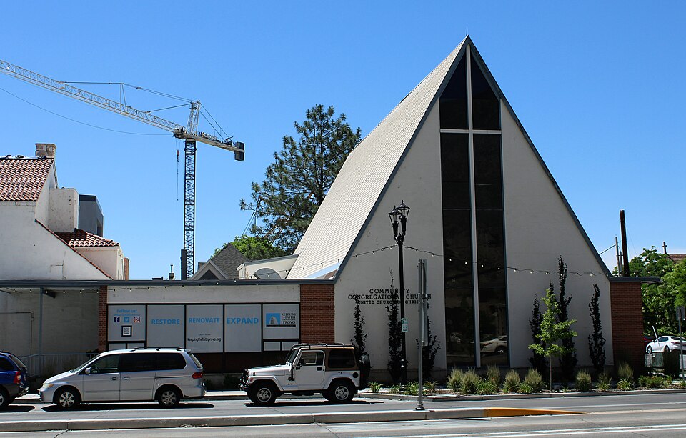
Listed on the National Register of Historic Places in 2022.
One of 183 National Register listings published here for Utah County · listed in 2022 · category: Building.
Sources: the National Register database, National Park Service
Regional context, not property-specific evidence. The federal wildfire occurrence database lists 70 fires within 5 miles of Provo Community Congregational Church between 1992 and 2020, burning about 9,808 acres in total. 33 started naturally. 1 was recorded as arson. Distance is straight-line from the map coordinates, so a fire counted here may appear on a neighbouring settlement's page as well.
| Reported cause | Fires |
|---|---|
| Natural | 33 |
| Recreation and ceremony | 14 |
| Missing data/not specified/undetermined | 13 |
| Equipment and vehicle use | 5 |
| Misuse of fire by a minor | 1 |
| Debris and open burning | 1 |
| Smoking | 1 |
| Firearms and explosives use | 1 |
| Arson/incendiarism | 1 |
The most recent of them, most recent first, with the day each was reported and the service that recorded it.
| Date | Cause | Size | Reported by | Name on the report |
|---|---|---|---|---|
| 8 September 2005 | Missing data/not specified/undetermined | 1.0 acres | Uinta-Wasatch-Cache National Forest | RED CLIFF |
| 7 September 2013 | Equipment and vehicle use | under an acre | Uinta-Wasatch-Cache National Forest | MONKS |
| 7 September 1993 | Smoking | under an acre | Uinta-Wasatch-Cache National Forest | not named |
| 5 September 1993 | Natural | under an acre | Uinta-Wasatch-Cache National Forest | not named |
| 30 September 2020 | Recreation and ceremony | under an acre | Uinta-Wasatch-Cache National Forest | PACKER CREEK |
| 3 September 1995 | Natural | under an acre | Uinta-Wasatch-Cache National Forest | TANNER RIDGE |
| 28 September 2009 | Recreation and ceremony | under an acre | Uinta-Wasatch-Cache National Forest | WANRHODES |
| 24 September 2012 | Natural | under an acre | Uinta-Wasatch-Cache National Forest | JOLLYS |
Regional context, not property-specific evidence. The federal mineral resources record lists 5 workings within 5 miles of Provo Community Congregational Church: 2 occurrences, 2 past producers, 1 prospect. None of them still produces. What was taken out: Phosphorus-Phosphates, Marble, Dimension, Uranium, Water, Free. Distance is straight-line from the map coordinates, so a quarry counted here may appear on a neighbouring settlement's page as well.
| Where | Site | Commodity | Status | Recorded |
|---|---|---|---|---|
| Birdseye Marble | Marble, Dimension | Occurrence | Metamorphic | |
| Southern Wasatch Range Combined | Phosphorus-Phosphates, Uranium, Water, Free | Past Producer | 1941 | |
| Balsam Phosphate Prospect | Phosphorus-Phosphates | Occurrence | Collophane | |
| Southern Wasatch Range #1 | Phosphorus-Phosphates | Prospect | ||
| Worth Phosphate Mine | Phosphorus-Phosphates | Past Producer | Collophane |
Regional context, not property-specific evidence. The National Weather Service names Provo, the town this property stands in, in 23 storm reports between 1993 and 2016: 18 thunderstorm wind, 3 hail, 2 funnel cloud. The reports record 15 injuries. Each account below is quoted exactly as the forecast office filed it, from the NOAA Storm Events Database, and each date opens the federal record of that event.
| When | Event | Place named | Harm | What the report says |
|---|---|---|---|---|
| May 1994 | Thunderstorm Wind | Provo | 15 hurt, $50,000,000 | no account filed |
| July 2002 | Thunderstorm Wind | Provo | $50,000 | A 71 mph (62 kts) wind gust was reported from a severe thunderstorm. Several trees and power poles were knocked down or damaged. There was also damage to cars and structures. |
| April 1997 | Thunderstorm Wind | Provo | $20,000 | no account filed |
| March 2003 | Thunderstorm Wind | Provo | $5,000 | Severe thunderstorms along a cold front blew through Utah County, tearing down tree limbs, blowing shingles off roofs and flipping over a trampoline. Springville reported a gust to 69 mph (60 kts) and Provo BYU recorded a gust to 62 mph (54 kts). |
| June 2008 | Thunderstorm Wind | Provo | $4,000 | Several trees were knocked down around the Orem and Provo area as the result of an overnight microburst. The highest recorded wind gust was 51 mph near Vineyard. |
| September 2016 | Thunderstorm Wind | Provo | $2,000 | A dry microburst knocked down several power lines along Freedom Boulevard in Provo. |
| April 2014 | Thunderstorm Wind | Provo | $2,000 | The Eyring Science Center sensor in Provo recorded a 60 mph wind gust. In addition, multiple large trees were knocked down in the Orem area from this early morning thunderstorm. |
| May 1998 | Thunderstorm Wind | Provo | $1,000 | no account filed |
| July 1998 | Thunderstorm Wind | Provo | $600 | no account filed |
| August 2006 | Thunderstorm Wind | Provo | - | at BYU |
| June 2005 | Thunderstorm Wind | Provo | - | Provo BYU |
| June 2001 | Thunderstorm Wind | Provo | - | Microburst wind gusts of 72 mph (63 kts) at Provo BYU knocked down small trees and broke some large branches. |
| July 1995 | Thunderstorm Wind | Provo | - | This gust was measured by an anemometer approximately 147 feet above ground level. |
| May 1994 | Thunderstorm Wind | Provo | - | Microburst winds downed tree limbs and power lines in the Provo area. Tooele County 5 N Erda,27,1707MST,,,0,0,0,0,Thunderstorm Wind |
| May 1994 | Thunderstorm Wind | Provo | - | An upper level disturbance associated cold front brought thunderstorms and microburst winds to the Wasatch front. In Tooele county, gusts were estimated between 70 and 80 mph. In West Jordan, a Cessna 140 broke its tie downs, was blown 50 feet and flipped over. Also in West Jordan, a swamp cooler was blown off a house. In Layton, a U Haul van was overturned. The top 20 feet of several trees were snapped of in Syracuse. In Kearns, gusts estimated between 80 and 90 mph snapped a 50 foot tall pine tree of at the base. |
| April 1993 | Thunderstorm Wind | Provo | - | A squall line formed in advance of an approaching cold front. Most of the moisture ahead of the cold front was in the middle and high levels. Therefore, the thunderstorms that developed, produced microburst winds. In the Tremonton area, these winds blew a few small fences and trees down, and a few shingles off houses. However, one larger 100-year-old pine tree was blown over onto a house, but it caused no major damage. The large hail that fell was brief and soft, and caused no damage. |
| September 1998 | Hail | Provo | - | no account filed |
| June 1998 | Hail | Provo | - | no account filed |
| June 1998 | Funnel Cloud | Provo | - | no account filed |
| June 1998 | Funnel Cloud | Provo | - | no account filed |
| May 1996 | Hail | Provo | - | no account filed |
| June 1995 | Thunderstorm Wind | Provo | - | no account filed |
| August 1995 | Thunderstorm Wind | Provo | - | no account filed |
No historic map-sheet match is published for this property yet. That does not mean no map exists. This record needs a coordinate-quality review before it can be joined to a sheet boundary. Browse the county's mapped places while that work is pending.
Other National Register properties close enough to walk or drive between, ordered by distance from this one. Both positions come from the same geocoding pass that matched these properties to their map sheets.
| Photograph | Property | Distance | Listed |
|---|---|---|---|
 | Barrett-Homer-Larsen Farmstead | 2.8 miles | 2016 |
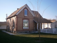 | Joseph and Margaret Wilkinson House | 2.9 miles | 2013 |
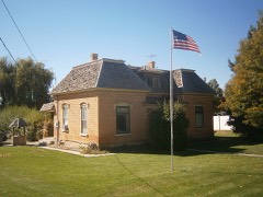 | Thomas and Eliza Jane Singleton House | 6.8 miles | 2018 |
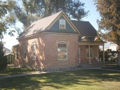 | Robert and Mary Ann Singleton House | 6.8 miles | 2018 |
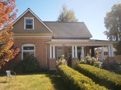 | Thomas and Elizabeth Coddington House | 7.2 miles | 2018 |
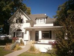 | James and Emily Herbert House | 7.4 miles | 2018 |
| National Archives record | The nomination case file for reference 100007565 in Record Group 79. |
| Utah County | All 183 listed properties in this county. |