BlockBefore

Utah County, Utah

218 topographic sheets and 31 fire insurance atlases across 7 places.

Research this county

From the record

183 National Register listings published here, 1 of them a National Historic Landmark · the county-history sources name 24 people · people the book names include D.H. Berg (Provo, 1897) · Thomas Child (Springville, 1897) (machine-read).

Sources: the county history on the Internet Archive · the National Register database, National Park Service

Utah within the United States
Utah County within Utah

What the record shows

  • 7 places in this county were surveyed for fire insurance: Provo, Lehi, Springville, Payson, Pleasant Grove, Spanish Fork, American Fork, between 1888 and 1950.
  • 31 fire insurance atlases survive for the county. Topographic coverage is national; fire insurance survey reached only incorporated places with something worth insuring.
  • 1,801 topographic sheet readings cover the county's settlements.
  • 183 properties here are on the National Register of Historic Places: 159 buildings, 13 districts, 6 sites and 5 structures.
  • 26 of the 183 listings were added during the 1970s.
  • The Geographic Names Information System records 84 populated places in this county; 84 are covered by at least one topographic sheet.

Photographs

47 photographs, 1942

Taken for the Office of War Information and the Farm Security Administration, who photographed the country between 1935 and 1944. Works of United States government photographers, with no known restriction on use. Each opens its catalogue record.

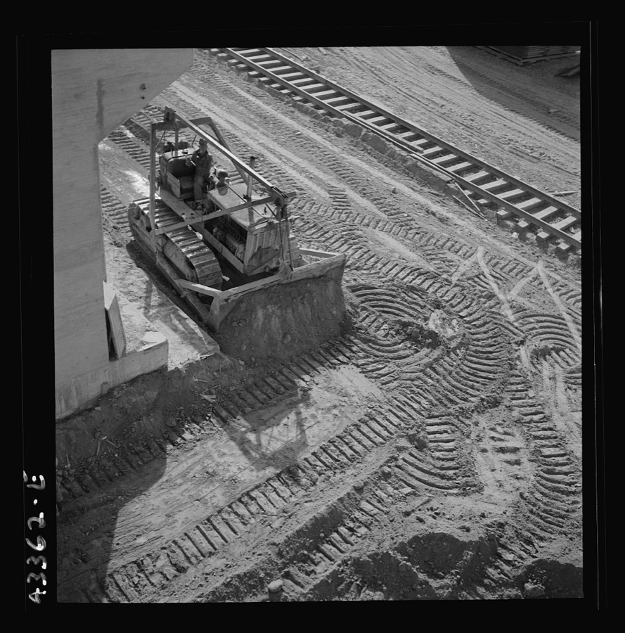
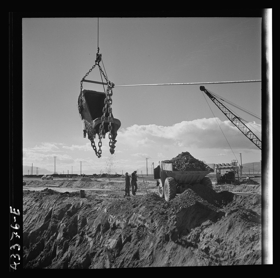
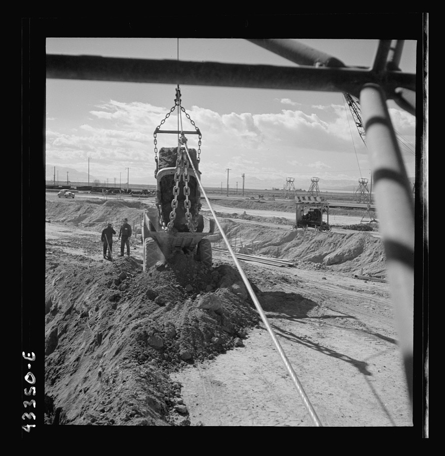
Columbia Steel Company at Geneva, Utah. Bulldozer used in grading during the construction of a new steel mill which will make important additions to the vast amount of steel needed for the war effort
Feininger, Andreas, 1942. Library of Congress
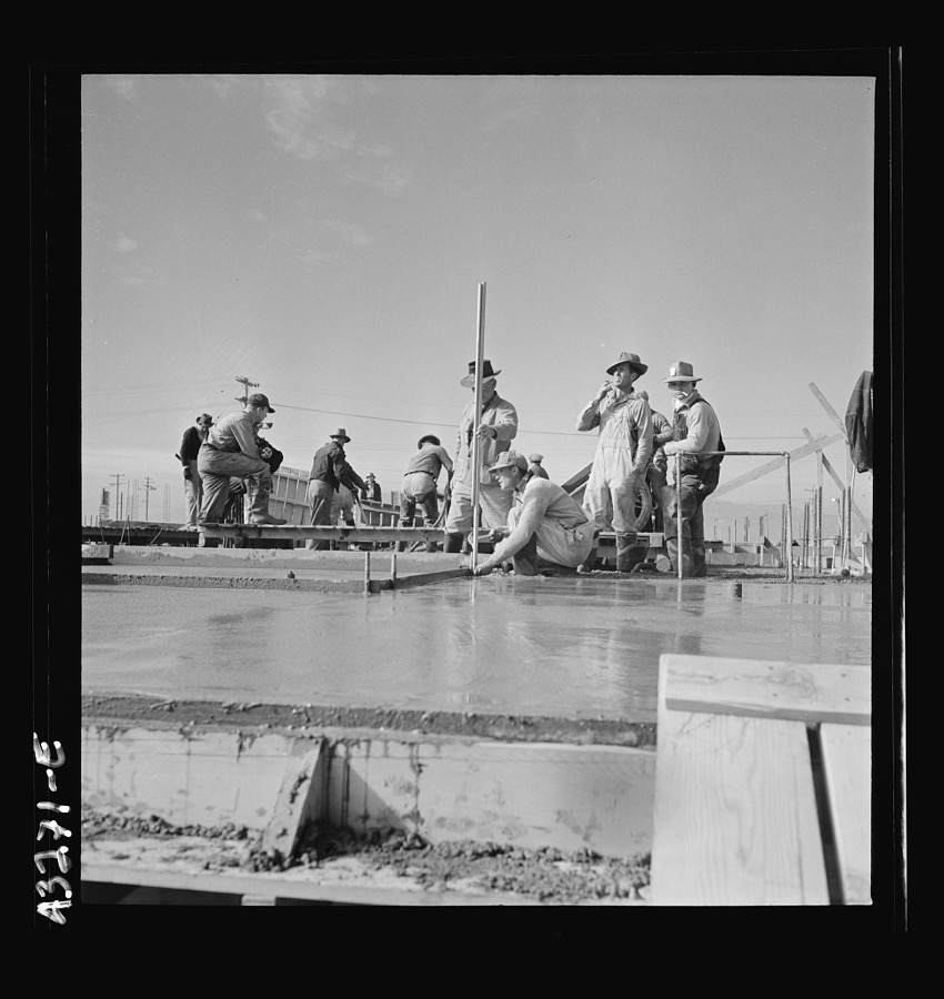
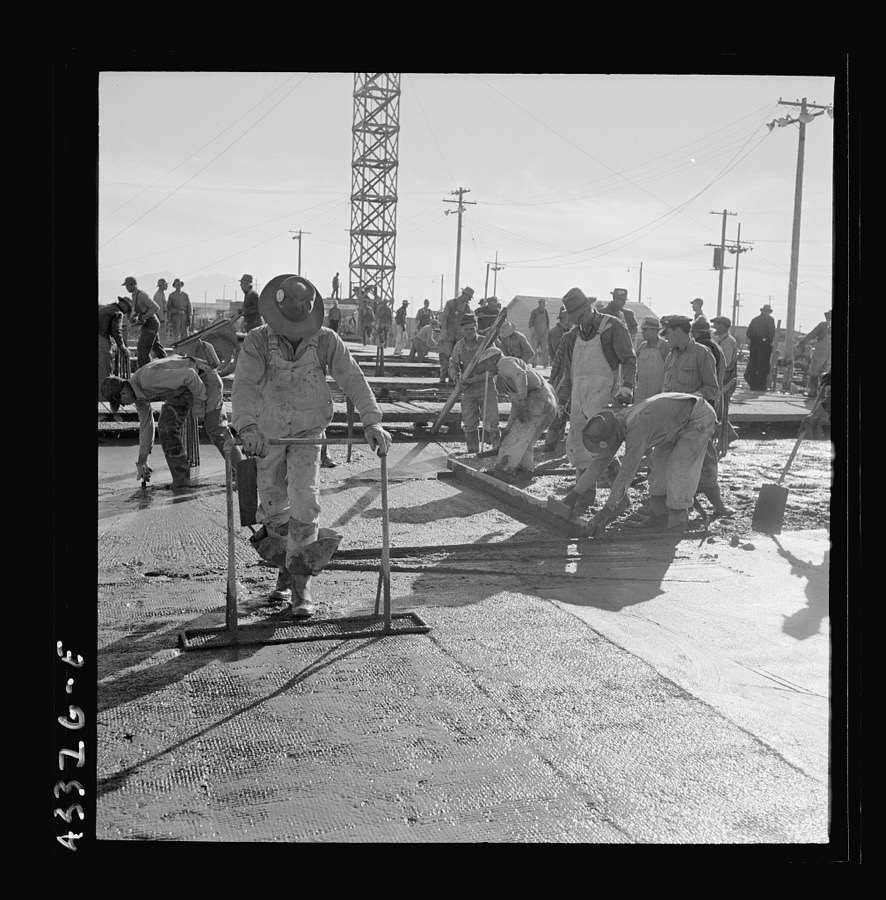
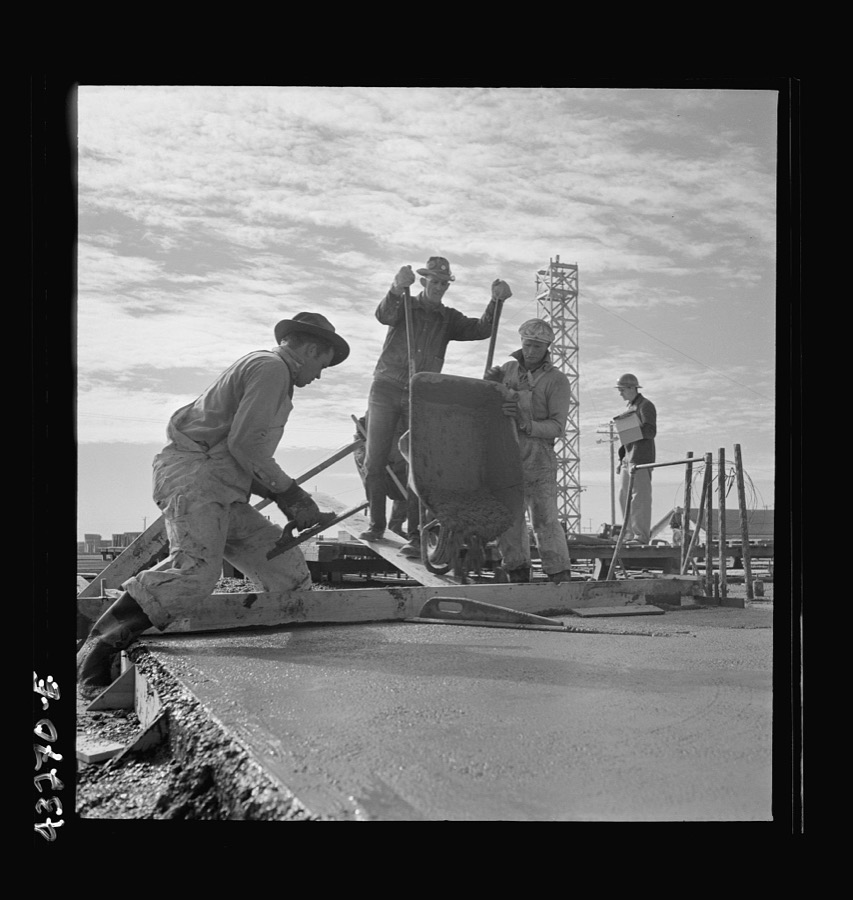
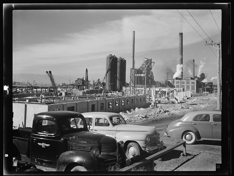
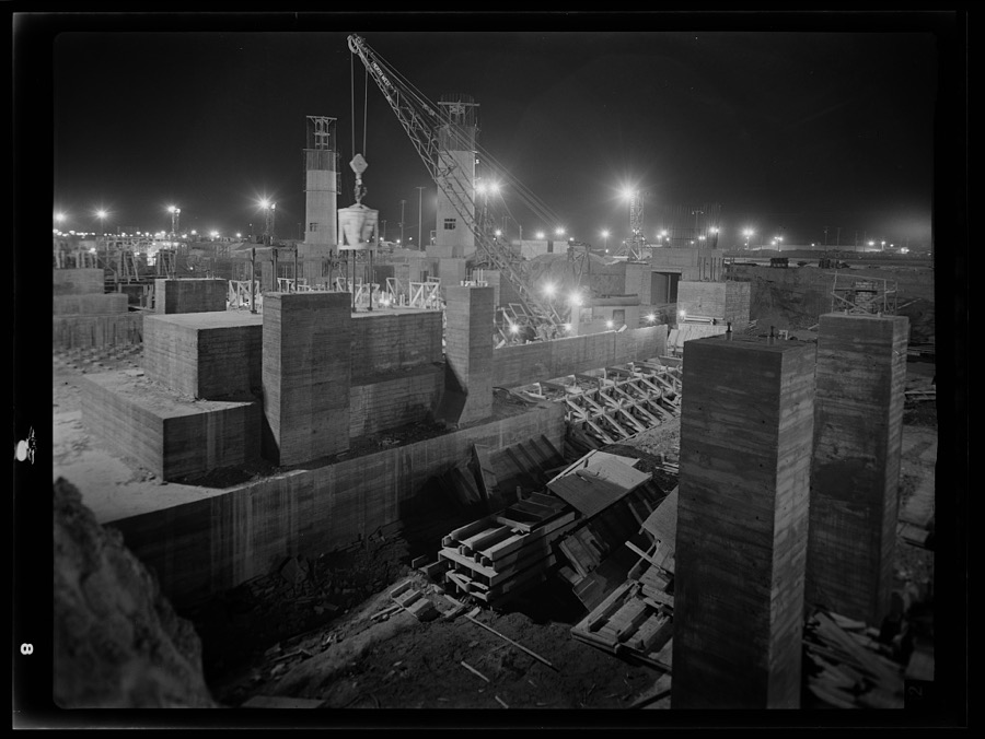
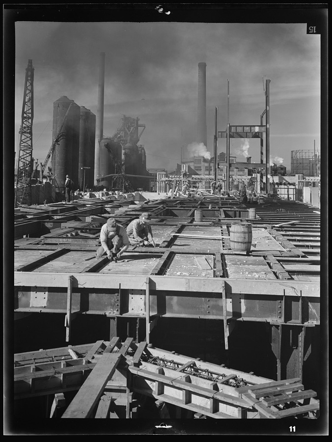
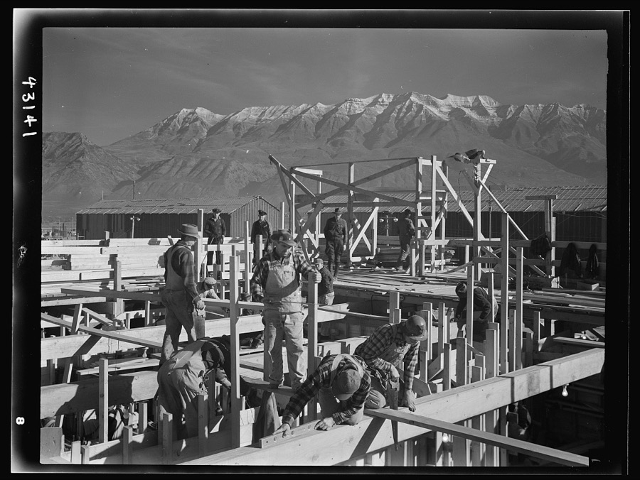
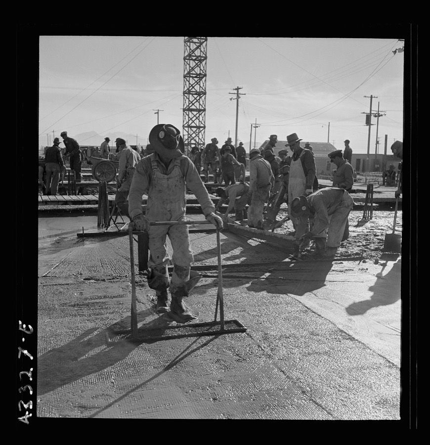
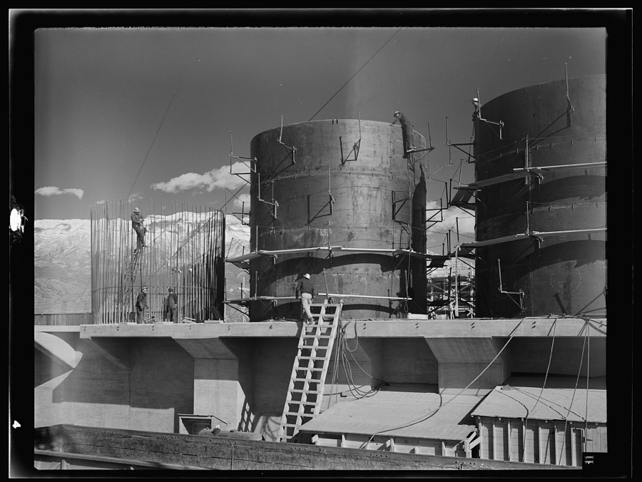
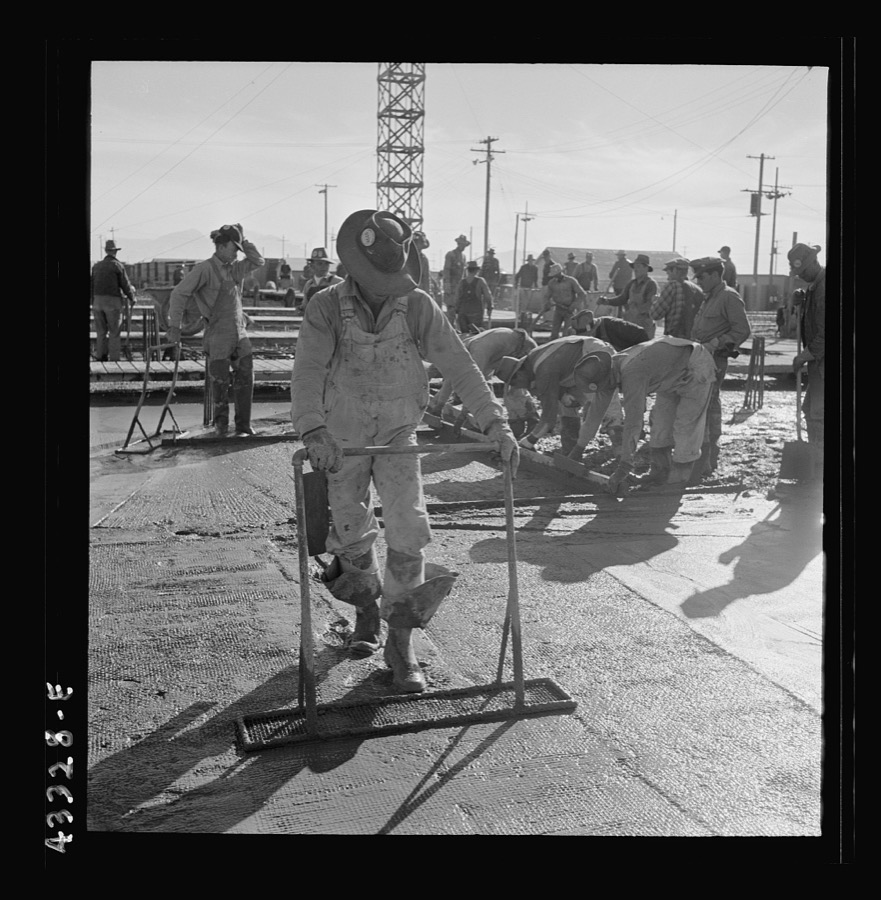
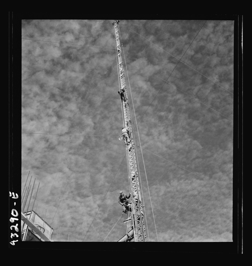
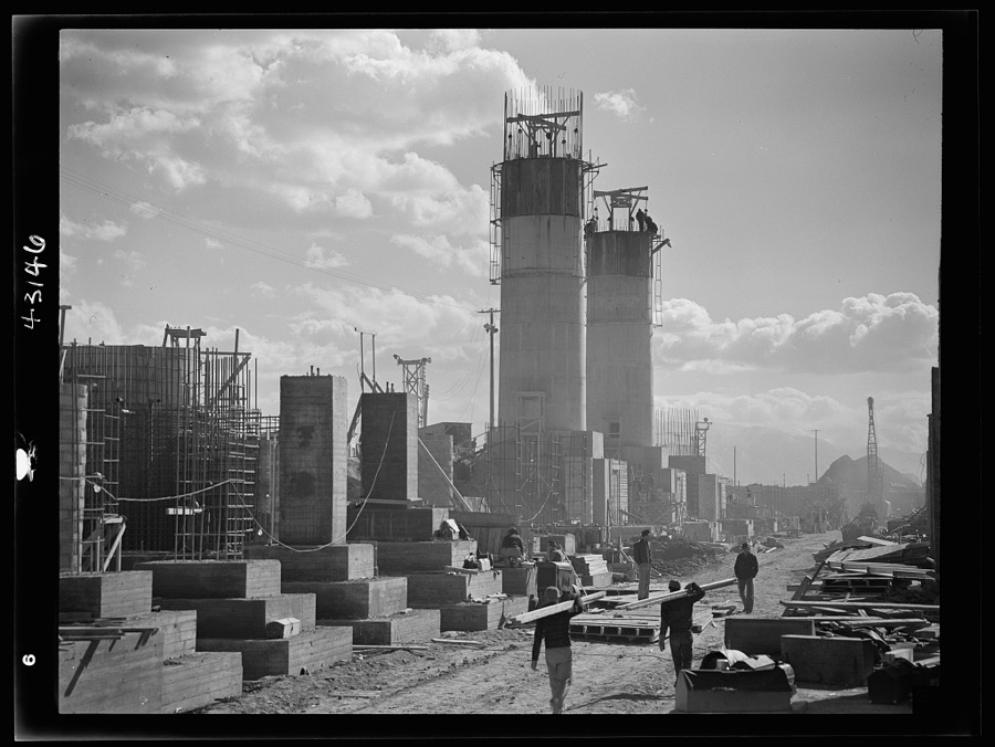
Columbia Steel Company at Geneva, Utah. Steel and concrete go into place rapidly as a new steel mill takes form. The new plant will make important additions to the vast amount of steel needed for the war effort
Feininger, Andreas, 1942. Library of Congress
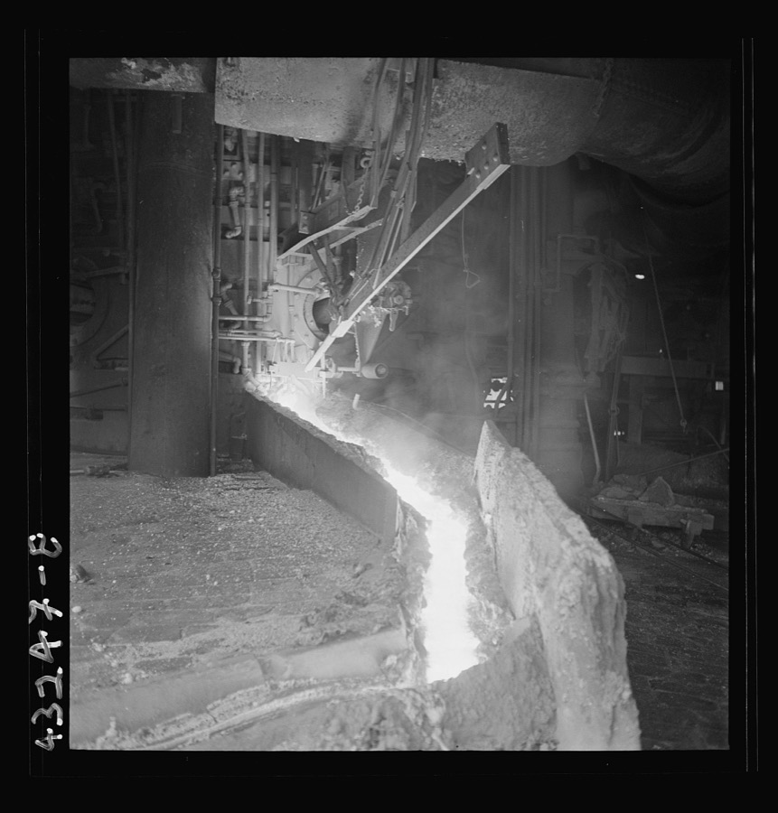
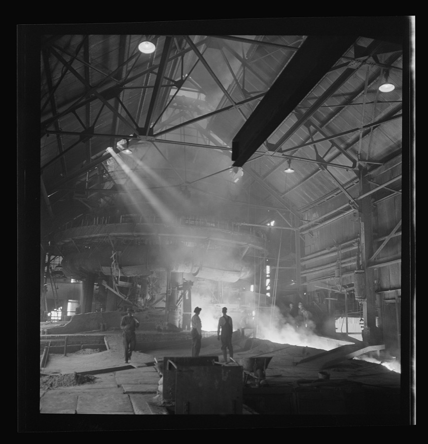
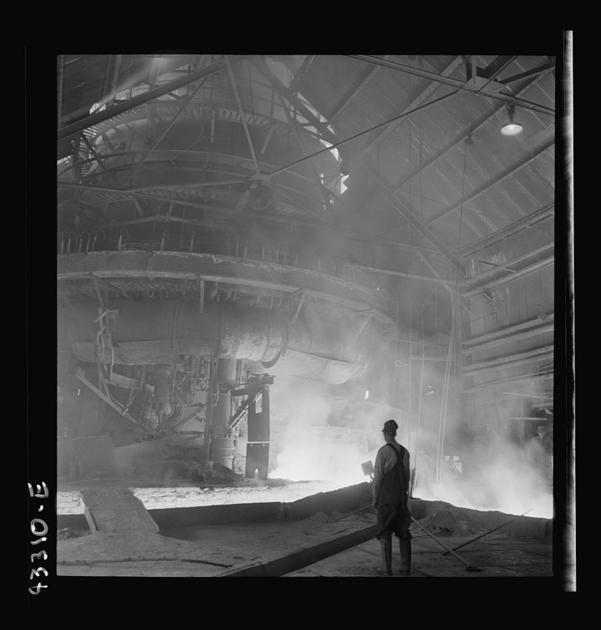
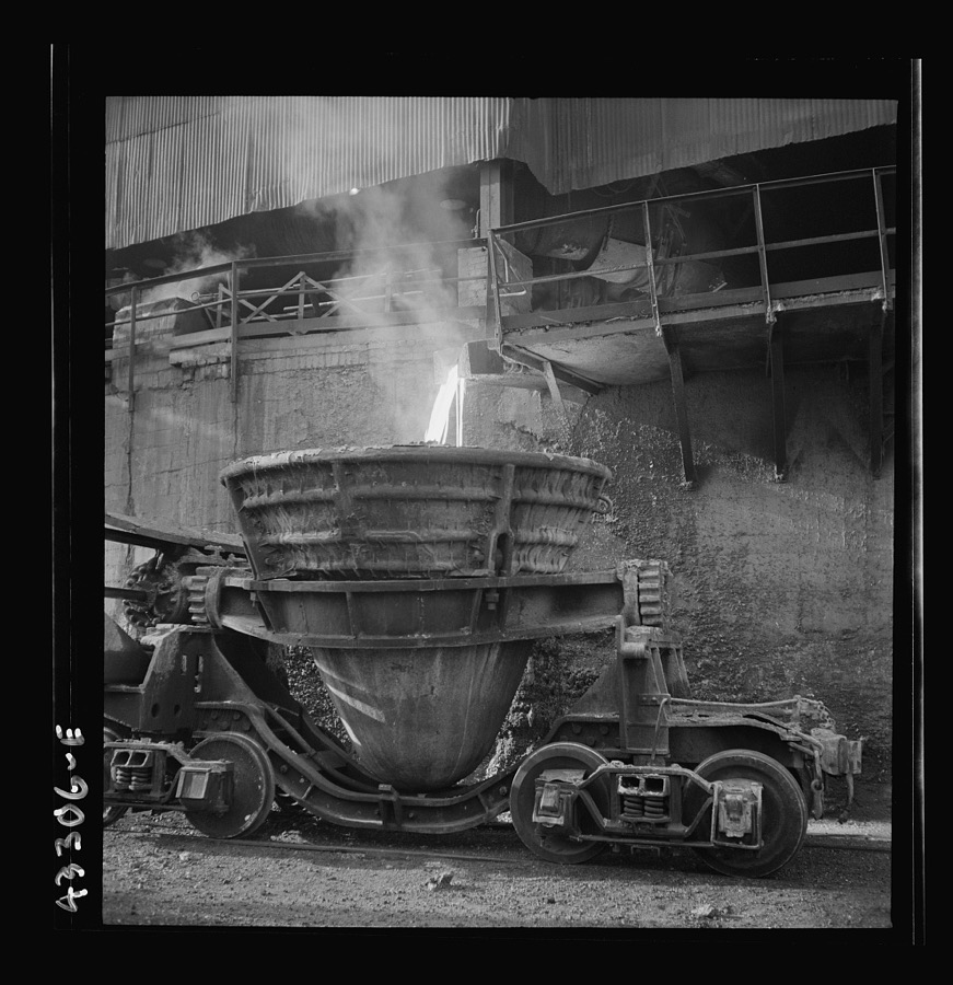
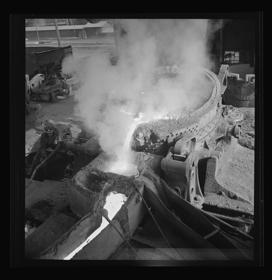
Columbia Steel Company at Ironton, Utah. Pouring a heat of iron
Feininger, Andreas, 1942. Library of Congress
Columbia Steel Company at Ironton, Utah. Tapping a blast furnace for an iron cast
Feininger, Andreas, 1942. Library of Congress
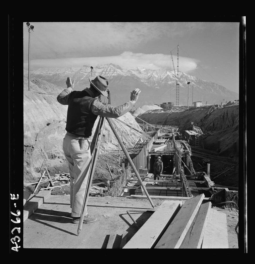
Columbia Steel Company at Geneva, Utah. Surveyor running lines for a water intake tunnel to serve a new steel mill under construction which will make important additions to the vast amount of steel needed for the war effort
Feininger, Andreas, 1942. Library of Congress
Columbia Steel Company at Geneva, Utah. Steel and concrete go into place rapidly as a new steel mill takes form. The new plant will make important additions to the vast amount of steel needed for the war effort
Feininger, Andreas, 1942. Library of Congress
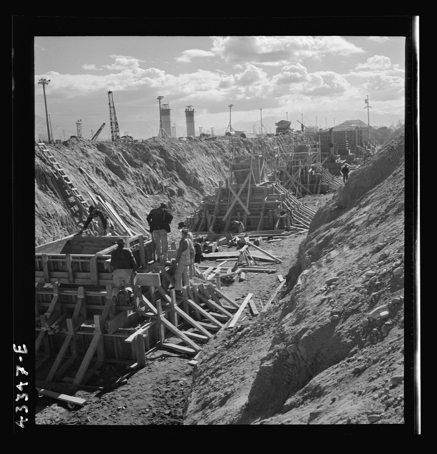
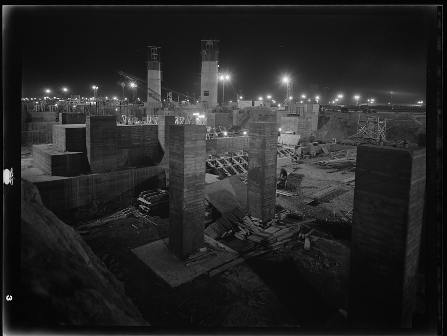
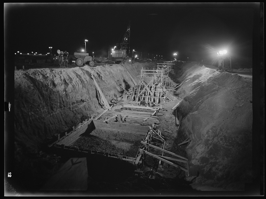
Columbia Steel Company at Geneva, Utah. Excavating and constructing open hearth furnaces for a new steel mill
Feininger, Andreas, 1942. Library of Congress
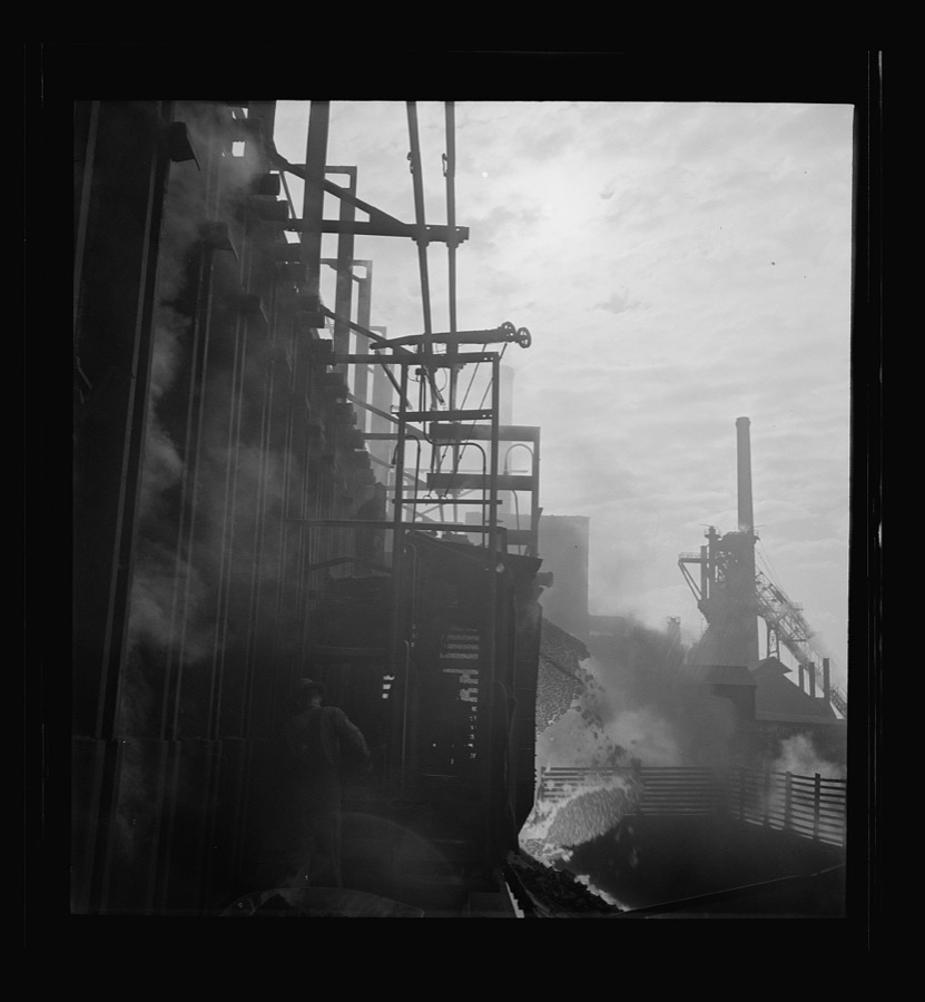
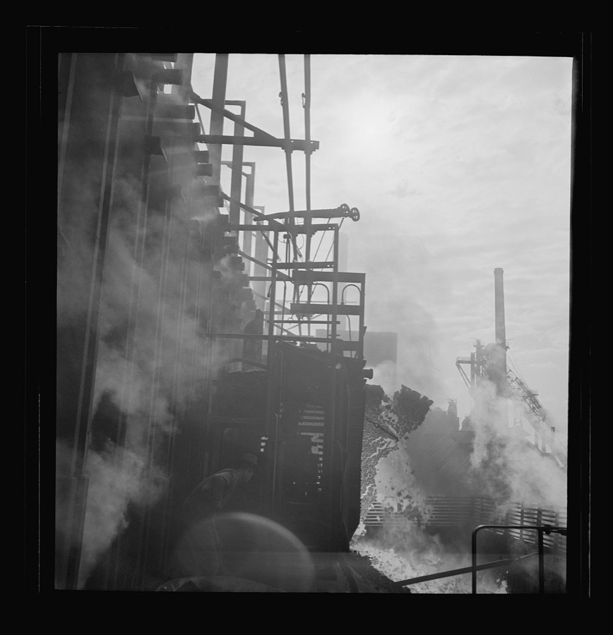
Columbia Steel Company at Ironton, Utah. Discharging coke oven
Feininger, Andreas, 1942. Library of Congress
Columbia Steel Company at Ironton, Utah. Discharging coke oven
Feininger, Andreas, 1942. Library of Congress
Columbia Steel Company at Geneva, Utah. Steel and concrete go into place rapidly as a new steel mill takes form. The new plant will make important additions to the vast amount of steel needed for the war effort
Feininger, Andreas, 1942. Library of Congress
Columbia Steel Company at Ironton, Utah
Feininger, Andreas, 1942. Library of Congress
Columbia Steel Company at Geneva, Utah. Steel and concrete go into place rapidly as a new steel mill takes form. The new plant will make important additions to the vast amount of steel needed for the war effort
Feininger, Andreas, 1942. Library of Congress
Columbia Steel Company at Geneva, Utah. Surveyor running lines for a water intake tunnel to serve a new steel mill under construction which will make important additions to the vast amount of steel needed for the war effort
Feininger, Andreas, 1942. Library of Congress
Columbia Steel Company at Ironton, Utah. Tapping a heat of iron in the cast house of the blast furnace
Feininger, Andreas, 1942. Library of Congress
Columbia Steel Company at Geneva, Utah. Steel and concrete go into place rapidly as a new steel mill takes form. The new plant will make important additions to the vast amount of steel needed for the war effort
Feininger, Andreas, 1942. Library of Congress
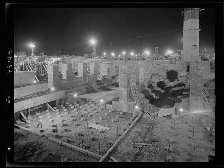
Columbia Steel Company at Geneva, Utah. Footings for open hearth furnaces for a new steel plant under construction which will make important additions to the vast amount of steel needed for the war effort
Feininger, Andreas, 1942. Library of Congress
Columbia Steel Company at Geneva, Utah. Steel and concrete go into place rapidly as a new steel mill takes form. The new plant will make important additions to the vast amount of steel needed for the war effort
Feininger, Andreas, 1942. Library of Congress
Columbia Steel Company at Ironton, Utah. Tapping a blast furnace for an iron cast
Feininger, Andreas, 1942. Library of Congress
Columbia Steel Company at Geneva, Utah. Steel and concrete go into place rapidly as a new steel mill takes form. The new plant will make important additions to the vast amount of steel needed for the war effort
Feininger, Andreas, 1942. Library of Congress
Columbia Steel Company at Geneva, Utah. Metal casings for concrete piles that will serve as foundations for a new steel mill under construction
Feininger, Andreas, 1942. Library of Congress
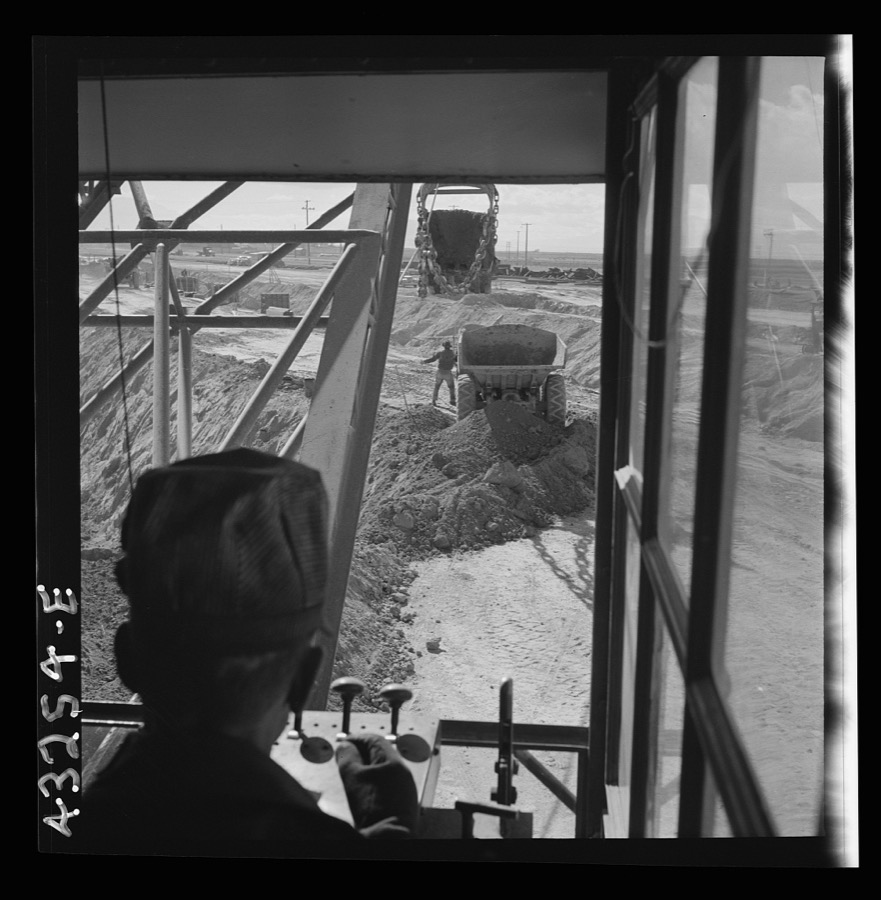
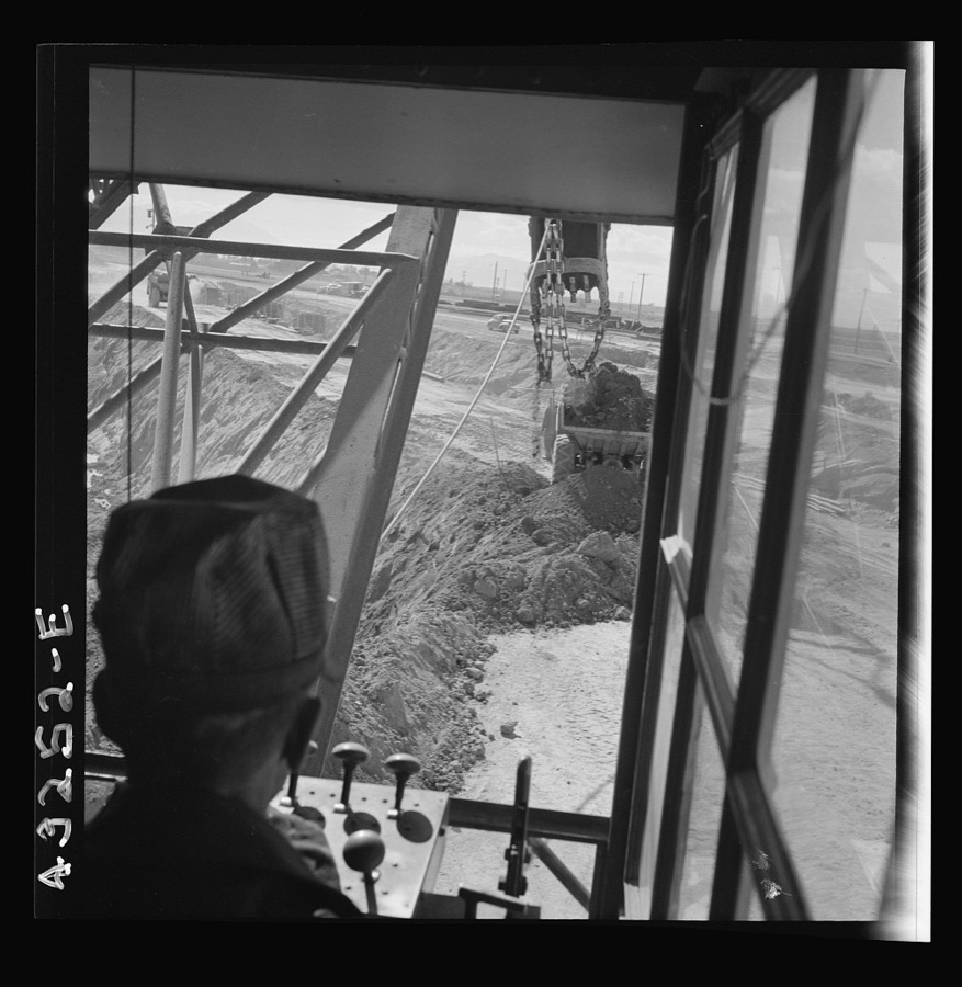
Columbia Steel Company at Geneva, Utah. Draglines are working day and night excavating for the building of open hearth furnaces for a new steel mill which will make important additions to the vast amount of steel needed for the war effort
Feininger, Andreas, 1942. Library of Congress
Columbia Steel Company at Geneva, Utah. Constructing a building on the site of a new steel mill which will soon turn out steel for the war needs
Feininger, Andreas, 1942. Library of Congress
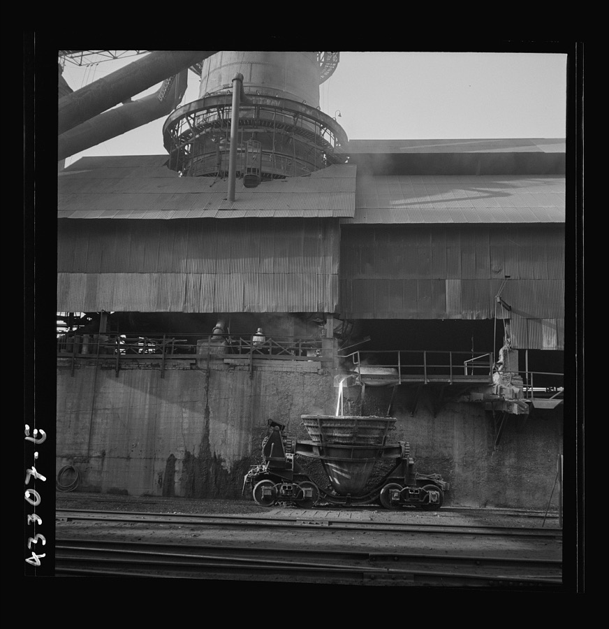
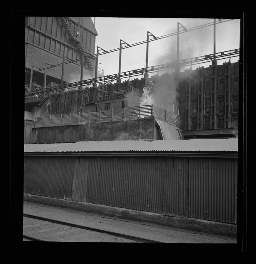
Columbia Steel Company at Ironton, Utah. Exterior view of the blast furnace
Feininger, Andreas, 1942. Library of Congress
Columbia Steel Company at Geneva, Utah. Steel and concrete go into place rapidly as a new steel mill takes form. The new plant will make important additions to the vast amount of steel needed for the war effort
Feininger, Andreas, 1942. Library of Congress
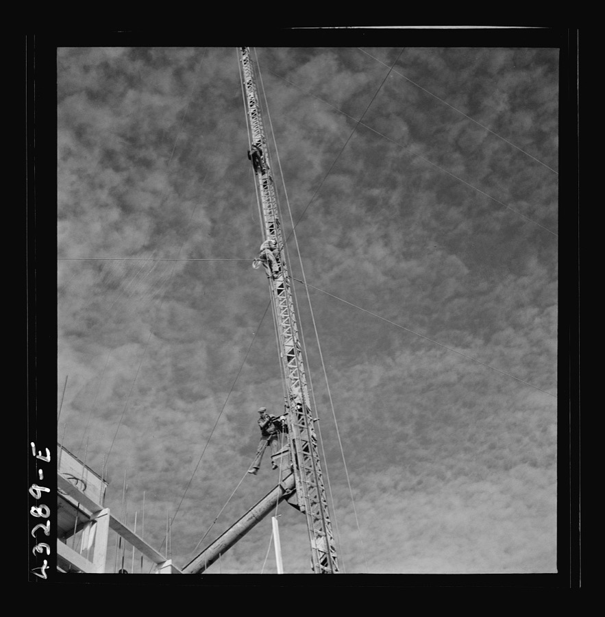
Columbia Steel Company at Geneva, Utah. The erecting crane is kept busy as blast furnaces take form in a new steel mill under construction which will make important additions to the vast amount of steel needed for the war effort
Feininger, Andreas, 1942. Library of Congress
Columbia Steel Company at Geneva, Utah. Excavating and constructing open hearth furnaces for a new steel mill
Feininger, Andreas, 1942. Library of Congress
Columbia Steel Company at Geneva, Utah. Draglines are working day and night excavating for the building of open hearth furnaces for a new steel mill which will make important additions to the vast amount of steel needed for the war effort
Feininger, Andreas, 1942. Library of Congress
Columbia Steel Company at Geneva, Utah. Steel and concrete go into place rapidly as a new steel mill takes form. The new plant will make important additions to the vast amount of steel needed for the war effort
Feininger, Andreas, 1942. Library of Congress
Columbia Steel Company at Geneva, Utah. Surveyor running lines for a water intake tunnel to serve a new steel mill under construction which will make important additions to the vast amount of steel needed for the war effort
Feininger, Andreas, 1942. Library of Congress
Columbia Steel Company at Geneva, Utah. Drag lines are working day and night excavating for the building of open hearth furnaces for a new steel mill which will make important additions to the vast amount of steel needed for the war effort
Feininger, Andreas, 1942. Library of Congress
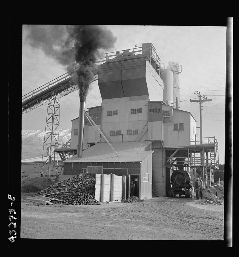
Columbia Steel Company at Geneva, Utah. Cement plant which furnishes building material for a new steel mill under construction
Feininger, Andreas, 1942. Library of Congress
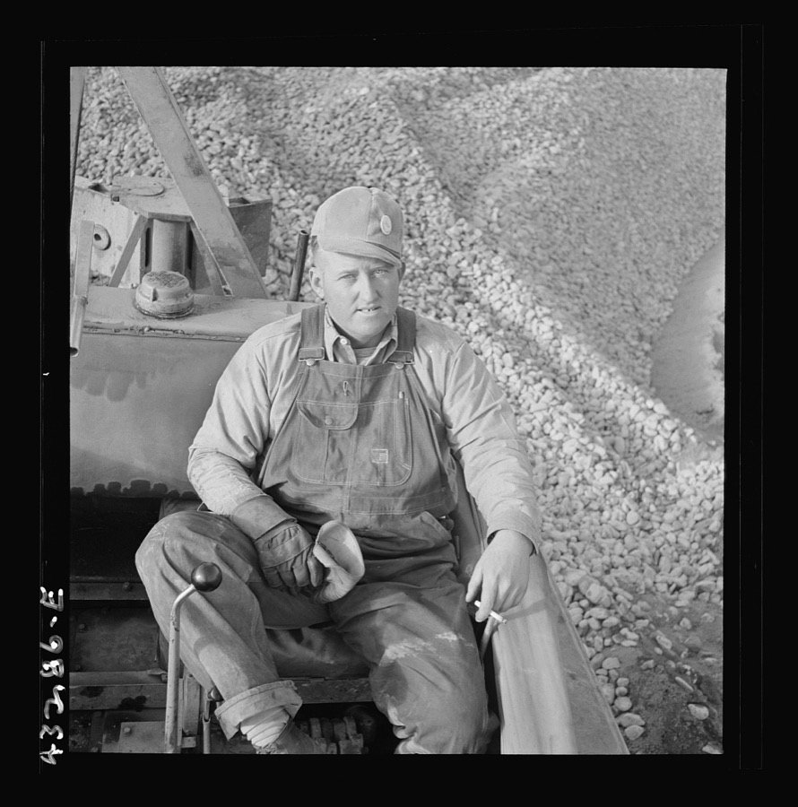
Columbia Steel Company at Geneva, Utah. Bulldozer operator who helps in the construction of a new steel mill which will make important additions to the vast amount of steel needed for the war effort
Feininger, Andreas, 1942. Library of Congress
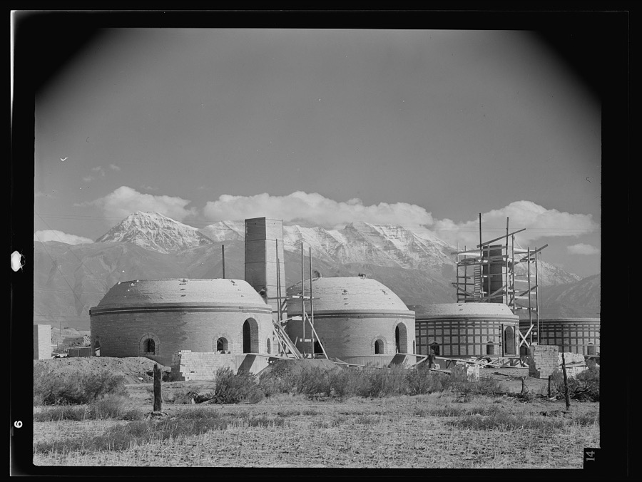
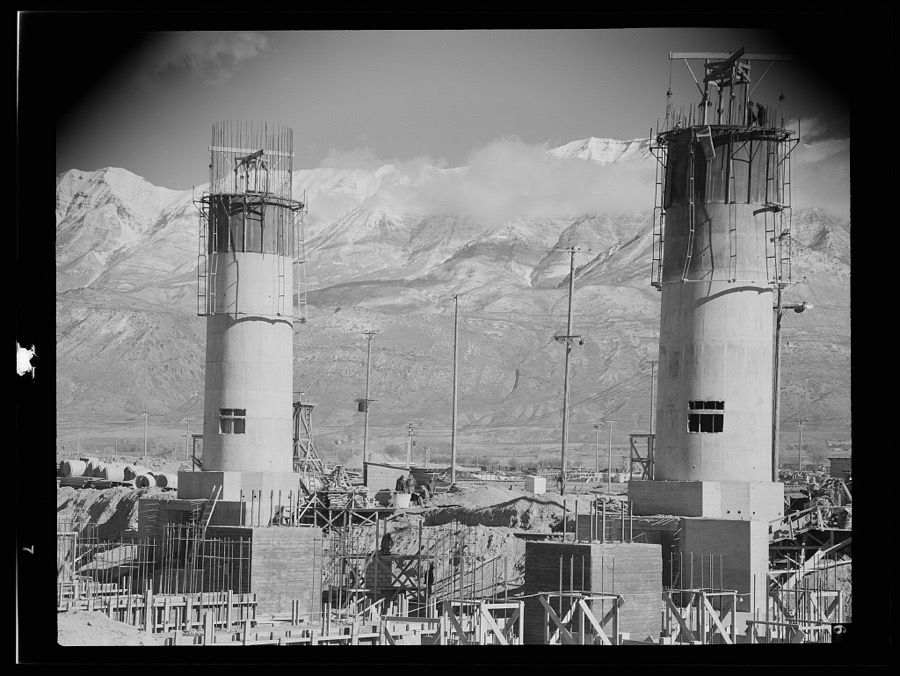
Columbia Steel Company at Geneva, Utah. Partly finished open hearth furnaces and stacks for a steel mill under construction which will soon be producing vitally needed steel
Feininger, Andreas, 1942. Library of Congress
Columbia Steel Company at Geneva, Utah. Partly finished open hearth furnaces and stacks for a steel mill under construction which will soon be producing vitally needed steel
Feininger, Andreas, 1942. Library of Congress
Columbia Steel Company at Ironton, Utah. Pouring a heat of iron
Feininger, Andreas, 1942. Library of Congress
Columbia Steel Company at Geneva, Utah. The erecting crane is kept busy as blast furnaces take form in a new steel mill under construction which will make important additions to the vast amount of steel needed for the war effort
Feininger, Andreas, 1942. Library of Congress
Columbia Steel Company at Ironton, Utah. Exterior view of the blast furnace
Feininger, Andreas, 1942. Library of Congress
Columbia Steel Company at Geneva, Utah. Draglines are working day and night excavating for the building of open hearth furnaces for a new steel mill which will make important additions to the vast amount of steel needed for the war effort
Feininger, Andreas, 1942. Library of Congress
Columbia Steel Company at Geneva, Utah. Surveyor running lines for a water intake tunnel to serve a new steel mill under construction which will make important additions to the vast amount of steel needed for the war effort
Feininger, Andreas, 1942. Library of Congress
Columbia Steel Company at Geneva, Utah. Drag lines are working day and night excavating for the building of open hearth furnaces for a new steel mill which will make important additions to the vast amount of steel needed for the war effort
Feininger, Andreas, 1942. Library of Congress
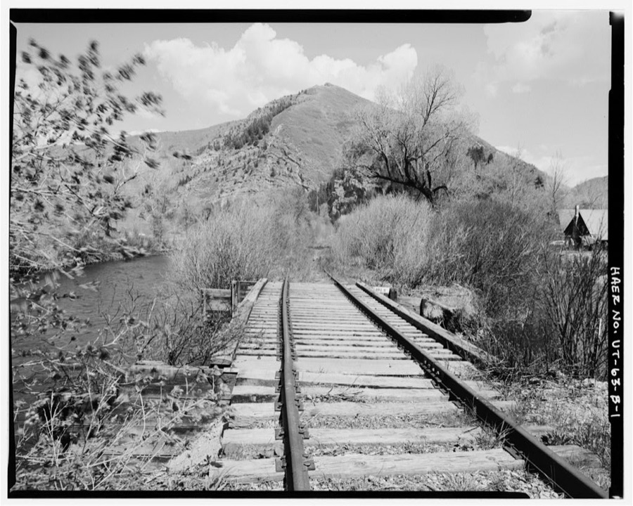
Heber Creeper Railroad Line, Vivian Park Bridge, Spanning South Fork of Provo River, Provo, Utah County, UT
Photographer not recorded. Library of Congress
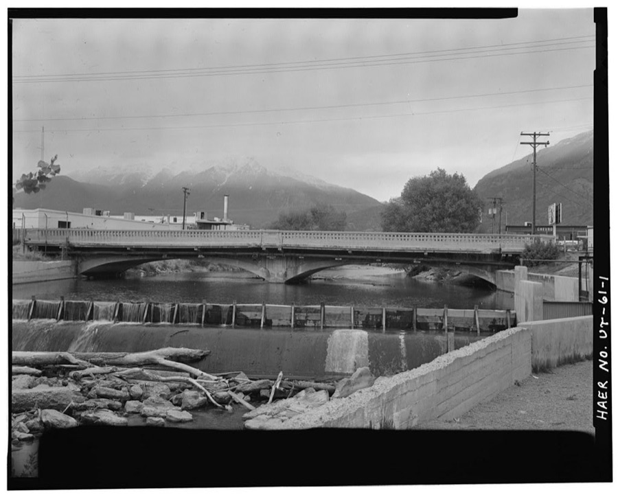
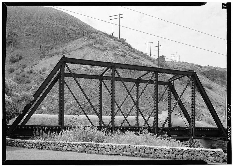
Provo River Bridge, 625 West Columbia Lane, Provo, Utah County, UT
Photographer not recorded. Library of Congress
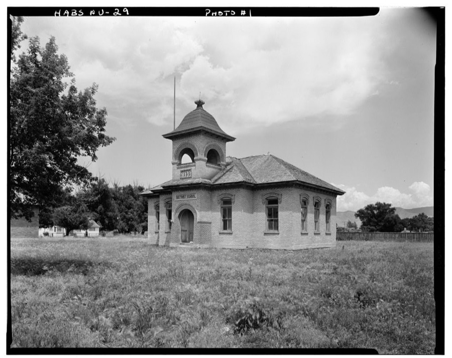
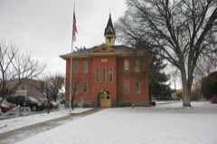
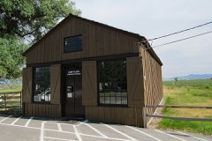
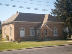
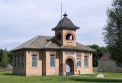
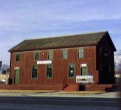
District School, North Church Street, Fairfield, Utah County, UT
Photographer not recorded. Library of Congress
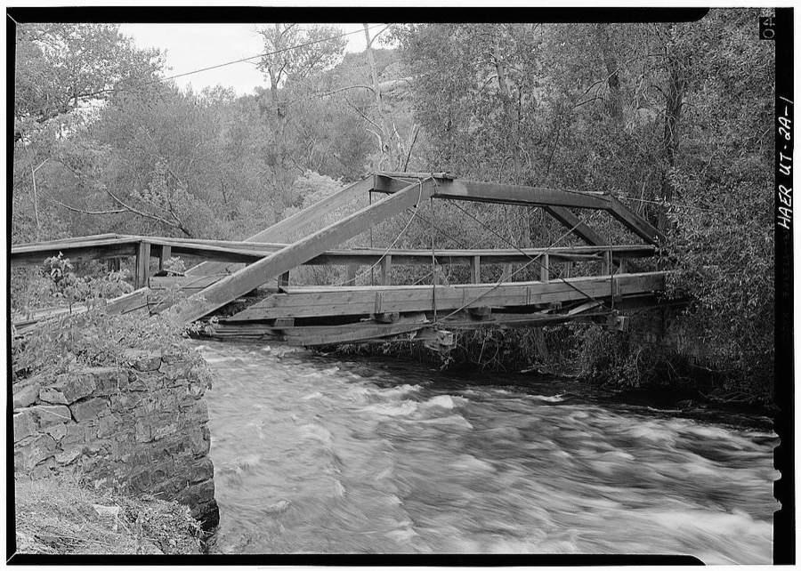
Telluride Power Company, Provo River Bridge, Spanning Provo River, Orem, Utah County, UT
Photographer not recorded. Library of Congress
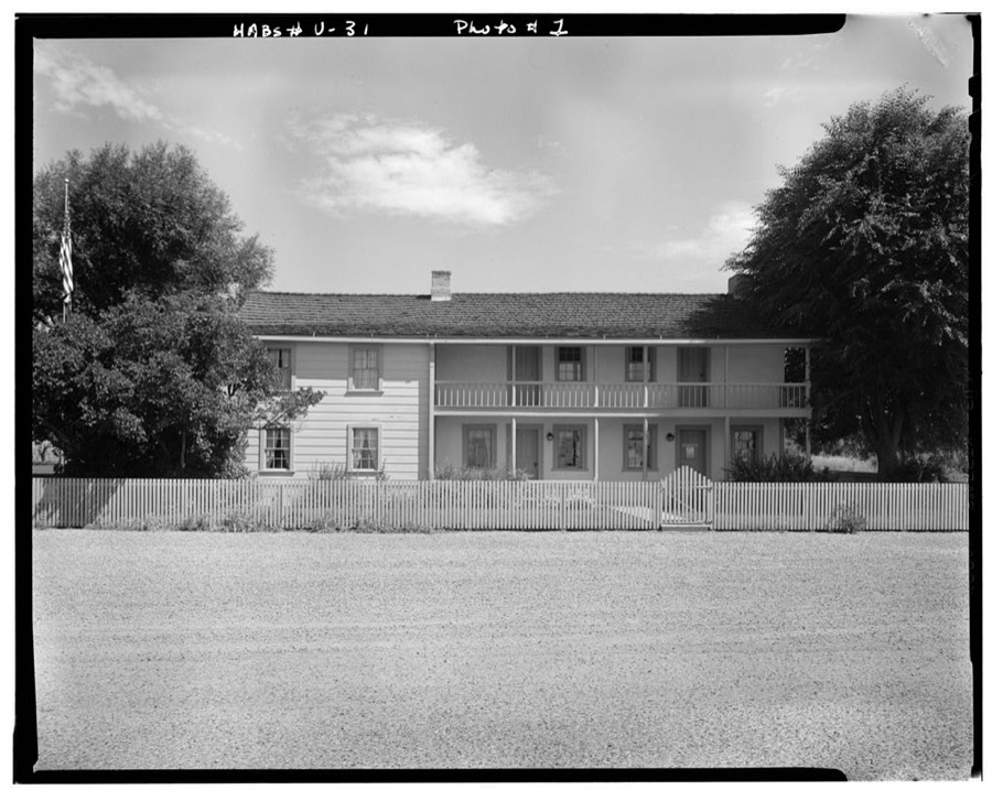
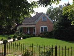
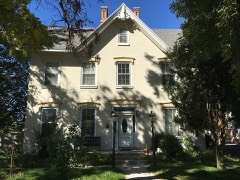
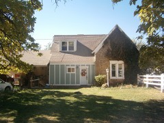
John Carson House, Main Street, Fairfield, Utah County, UT
Photographer not recorded. Library of Congress
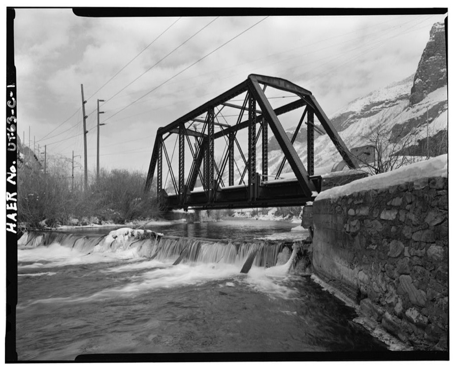
Denver & Rio Grande Western Railroad, Provo River Bridge, Spanning Provo River, Orem Vicinity, Orem, Utah County, UT
Photographer not recorded. Library of Congress
Heber Creeper Railroad Line, Olmstead Bridge, Spanning Provo River, Provo, Utah County, UT
Photographer not recorded. Library of Congress

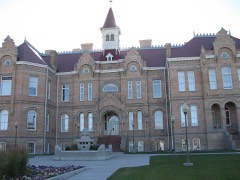
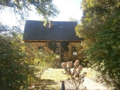
Places on the National Register

183

Every property in this county listed on the National Register of Historic Places, with the year it was listed and the federal nomination document.

Photograph PropertyType ListedReference
George and Temperance Adams Housebuilding199999001628
John Alma Adams Housebuilding198787000825
William D. Alexander Housebuilding198383003195
Dr. Samuel H. Allen House and Carriage Housebuilding197979002515
Alpine City Hallbuilding199191001820
Alpine LDS Church Meetinghousebuilding199090000794
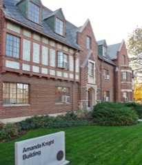
Amanda Knight Hallbuilding2021100006910
American Fork Cemetery Rock Wallstructure199494001207
American Fork City Hallbuilding199494000298
American Fork Historic Districtdistrict199898001447
American Fork Presbyterian Churchbuilding198080003975
American Fork Second Ward Meetinghousebuilding199292000101
American Fork Third Ward Meetinghousebuilding200202001554
Ashton-Driggs Housebuilding197272001261
Thomas Austin Housebuilding198282004168
Bank of American Forkbuilding199393000065
Barrett-Homer-Larsen Farmsteadbuilding201615000960
David and Drusilla Baxter Housebuilding199898000653
Beck No. 2 Minebuilding197979003483
Beebe, Angus, George and Martha Ansil, Housebuilding198080003979
Beers House-Hotelbuilding199494000296
Roswell Darius Bird Sr. Housebuilding198080003977
John E. Booth Housebuilding198282004171
William and Ann Bringhurst Housebuilding199897001567
George M. Brown Housebuilding198282001759
Bullock, Edward "Bob" and Mertilla, Housebuilding2024100010057
Stephen and Mary Bunnell Housebuilding199696001171
Caffrey and Davis Furniture Company-Senior Hotelbuilding199897001578
Camp Floyd Sitesite197474001939
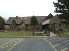
Camp Williams Hostess House/Officers' Clubbuilding198585000816
Carter-Terry-Call Housebuilding199898000658
Cedar Fort Schoolbuilding200000000357
Charcoal Kilnssite197979003491
Delbert and Ora Chipman Housebuilding199594001563
Henry & Elizabeth Parker Chipman Housebuilding201009001293
Christeele Acres Historic Districtdistrict199999001626
Clark-Taylor Housebuilding197575001829
Clinger-Booth Housebuilding199898000660
Harvey H. Cluff Housebuilding198282004172
Thomas and Elizabeth Coddington Housebuilding2018100001982
Alexander and Nellie P. Cordner Housebuilding199898000649
William James and Edna Cordner Housebuilding199898000647
Cordner-Calder Housebuilding199898000648
Crandall Housesbuilding198383003196
William J. and Lizzie Cullimore Housebuilding199898000643
Thomas R. Cutler Mansionbuilding198484002427
Dallin Housebuilding199494000346
Charles E. Davies Housebuilding198282004173
Davis, Joshua Housebuilding199898000642
Davis-Ercanbrack Farmsteadbuilding199898001213
Roe A. and Louise R. Deal Housebuilding199897001568
Deal-Mendenhall Hallbuilding199897001569
Cecil I. and Mildred H. Dimick Housebuilding199898000638
Christopher F. Dixon Jr. Housebuilding197777001319
John Dixon Housebuilding197878002701
Samuel Douglass Housebuilding199292001059
Frederick and Della Dunn Housebuilding199090001142
Dunn-Binnall House & Farmsteadbuilding201009001294
Dr. Elmo and Rhea Eddington Housebuilding199898001459
Simon P. Sr. Eggertsen Housebuilding197777001321
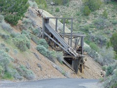
Eureka Lilly Headframesite197979003487
Fairfield District Schoolbuilding198787000992
Joseph H. Frisby Housebuilding198484002428
Fugal Blacksmith Shopbuilding199494000297
Fugal Dugout Housebuilding198686000611
Roy H. and Florence B. Gappmayer Housebuilding199898000672
Ira W. Gardner Housebuilding197777001323
James H. and Rhoda H. Gardner Housebuilding199898001454
Charles T.H. Goode Housebuilding198787000826
Samuel I. and Olena J. Goodwin Housebuilding199898001453
Samuel Green Housebuilding198787000827
John Hafen Housebuilding198282004182
Alfred William Harper Housebuilding198787000828
Harrington Elementary Schoolbuilding199393000064
James and Emily Herbert Housebuilding2018100001983
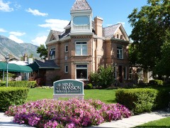
Hines Mansionbuilding197878002702
Lars and Agnes Jensen Housebuilding199999001627
Mont and Harriet Johnson Housebuilding199897001570
Peter Axel Johnson Housebuilding198484000164
Johnson-Hansen Housebuilding199494001346
Johnson-Kearns Hotelbuilding199897001571
David H. Jones Housebuilding198585003392
T.R. Kelly Housebuilding198383003972
Nephi and Annie Kindred Housebuilding199897001573
Knight Blockbuilding197777001322
Jesse Knight Housebuilding198282004174
Knight-Finch Housebuilding199898000673
Knight-Allen Housebuilding198282004175
Knight-Mangum Housebuilding198282004176
Christian and Sarah Knudsen Housebuilding199898001458
Lakeview Tithing Officebuilding198585000289
Christen Larsen Housebuilding198787001178
Neils Peter Larsen Housebuilding198787000829
Lehi City Hallbuilding198282004169
Lehi Commercial and Savings Bank-Lehi Hospitalbuilding199898001537
Lehi Main Street Historic Districtdistrict199898001450
Lehi North Branch Meetinghousebuilding199898001455
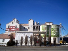
Lehi Roller Millsbuilding199494000535
Lehi Ward Tithing Barn-Centennial Hallbuilding199898001456
Lewis Terracebuilding198383003197
John S. and Izola Lewis Housebuilding199898000671
Lime Kilnssite197979003490
Loveless Housebuilding201010000729
Maeser Schoolbuilding198282004177
McBride-Sims Garagebuilding199898000664
William H. and Sarah D. Meneray Housebuilding199897001574
Harry B. Merrihew Drugstorebuilding198282004170
David Morgan Housebuilding198282004167
Moyle House and Indian Towerbuilding199292001689
Ami and Amanda Oakley Housebuilding199897001575
Olmsted Station Powerhousebuilding197272001262
Joseph Olpin Housebuilding197777001320
Lars and Christina Olsen Housebuilding199898000669
Milan and Margaret Packard Housebuilding199897001576
Payson Historic Districtdistrict200707000666
Payson Presbyterian Churchbuilding198686000610
People's Co-op Buildingbuilding199898001457
Peteetneet Schoolbuilding199090000795
Pleasant Grove Historic Districtdistrict199595001434
Pleasant Grove Schoolbuilding198080003978
Pleasant Grove Tithing Officebuilding198585000288
Pleasant Grove Town Hallbuilding198585001391
Provo Canyon Guard Quartersstructure198686001291
Provo Community Congregational Churchbuilding2022100007565
Provo Downtown Historic Districtdistrict198080003980
Provo East Central Historic Districtdistrict199898000281
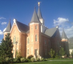
Provo Tabernaclebuilding197575001830
Provo Third Ward Chapel and Amusement Hallbuilding197979002518
Provo West Co-opbuilding198484002429
William H. Ray Housebuilding198282004178
Recreation Center for the Utah State Hospitalstructure198686000746
Henry T. and Rebecca Reynolds Housebuilding199897001577
John T. and Henry T. Reynolds Jr. Housebuilding198585001393
Thomas A. Richins Housebuilding198787000831
William D. Roberts Housebuilding198484002430
Santaquin Junior High Schoolbuilding198585000817
Silver Rowbuilding198282004179
Robert and Mary Ann Singleton Housebuilding2018100001984
Thomas and Eliza Jane Singleton Housebuilding2018100001985
Alfred and Rosy Skinner Housebuilding199898000662
Hannah Maria Libby Smith Housebuilding198080003981
John Y. and Emerette C. Smith Housebuilding199898001452
Warren B. Smith Housebuilding197979002513
Reed O. Smoot Housebuilding197575001831
Spanish Fork High School Gymnasiumbuilding198585000819
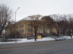
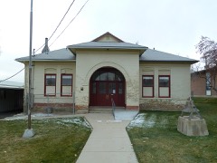
Springville Carnegie Librarybuilding199191001821
Springville High School Art Gallerybuilding198686000750
Springville High School Mechanical Arts Buildingbuilding199393000415
Springville Historic Districtdistrict202603000157
Springville Presbyterian Churchbuilding198080003983
Stagecoach Innbuilding197171000857
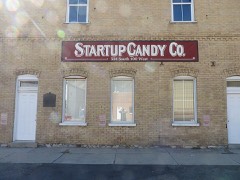
Startup Candy Factorybuilding198383003973
Stewart-Hills Housebuilding200403001483
James P. and Lydia Strang Housebuilding199897001579
Superintendent's Residence at the Utah State Hospitalbuilding198686000748
George Taylor Jr. Housebuilding198383004185
Thomas N. Taylor Housebuilding198282004180
Thompson Family Farmsteaddistrict2023100009572
Thurber Schoolbuilding2024100011044
Timpanogos Cave Historic Districtdistrict202682001760
Timpanogos Cooperative Marketing Association Buildingbuilding200808000385
Tintic Standard Reduction Millstructure197878002700
John R. Twelves Housebuilding198282004181
U. S. Post Officebuilding2017100001573
Upper American Fork Hydroelectric Power Plant Historic Districtdistrict198989000278
Utah Southern Railroad Depotbuilding199494000536
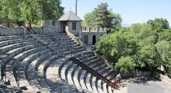
Utah State Training School Amphitheater and Wallstructure199494001206
Verd's Fruit Market Complexbuilding201010000731
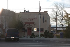
Veterans Memorial Buildingbuilding199494000299
Edward Wadley Housebuilding198787000832
Patrick L. and Rose O. Ward Housebuilding199897001580
Alvin and Grace Washburn Housebuilding199999001629
Water Lily Shaftsite197979003489
Thomas and Mary Webb Housebuilding199898001451
Peter Wentz Housebuilding197878002703
Jacob Hanmer White Housebuilding198787000833
Joseph and Margaret Wilkinson Housebuilding201313000843
Wood-Harrison Housebuilding198383003198
Yankee Headframesite197979003484
Yard-Groesbeck Housebuilding199897001581
Brigham Young Academydistrict197676001839
William Friend Young Housebuilding198787000834

Photographs from libraries nationwide

1 of 47 shown

Selected from the Digital Public Library of America's 47 image records catalogued for this county. Every one shown here carries a public-domain status or a licence that permits reuse on a site that carries advertising; non-commercial, share-alike and restricted images are excluded. The selection is spread across the county's towns (at most eight per town), so no single institution's bulk upload crowds out the rest. Each opens the holding library's record, and the complete set at the Digital Public Library of America is one click away.

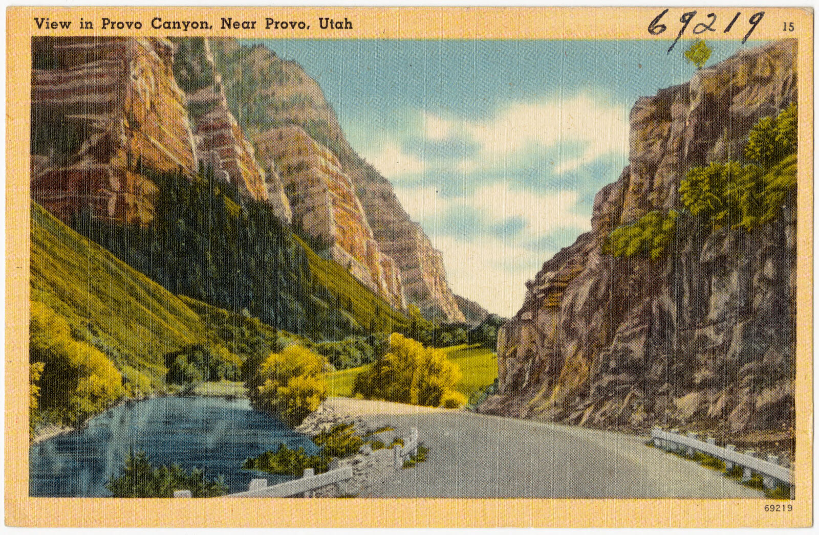
View in Provo Canyon, near Provo, Utah, Boston Public Library - undated
View in Provo Canyon, near Provo, Utah. Boston Public Library, via the Digital Public Library of America.

The county from the air

48 shown

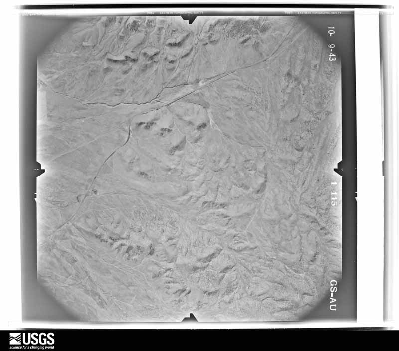
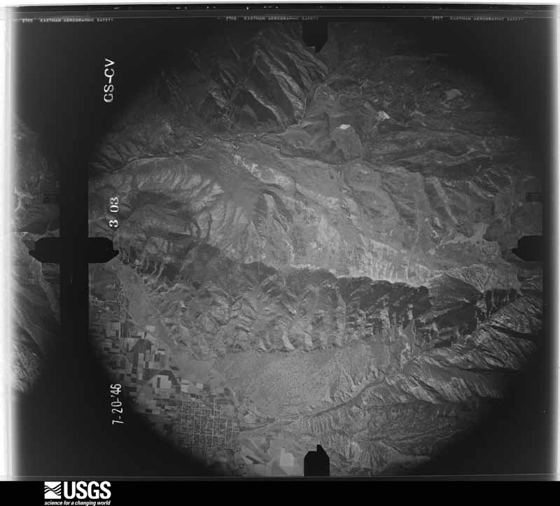
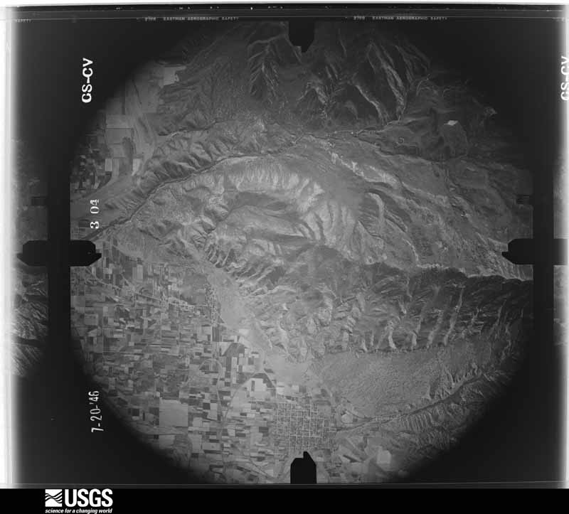
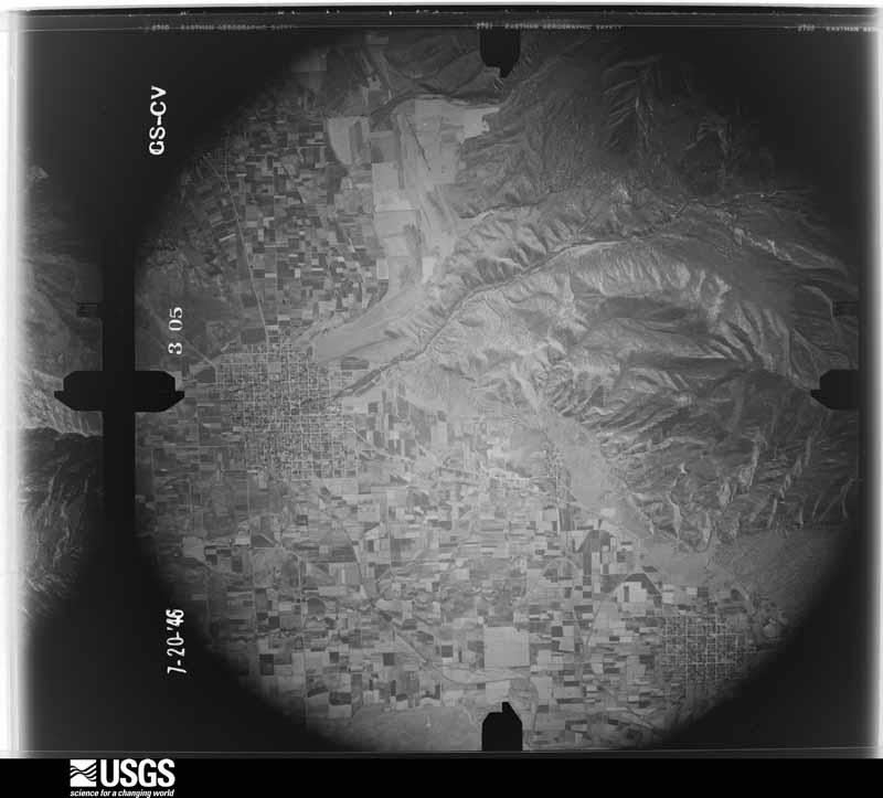
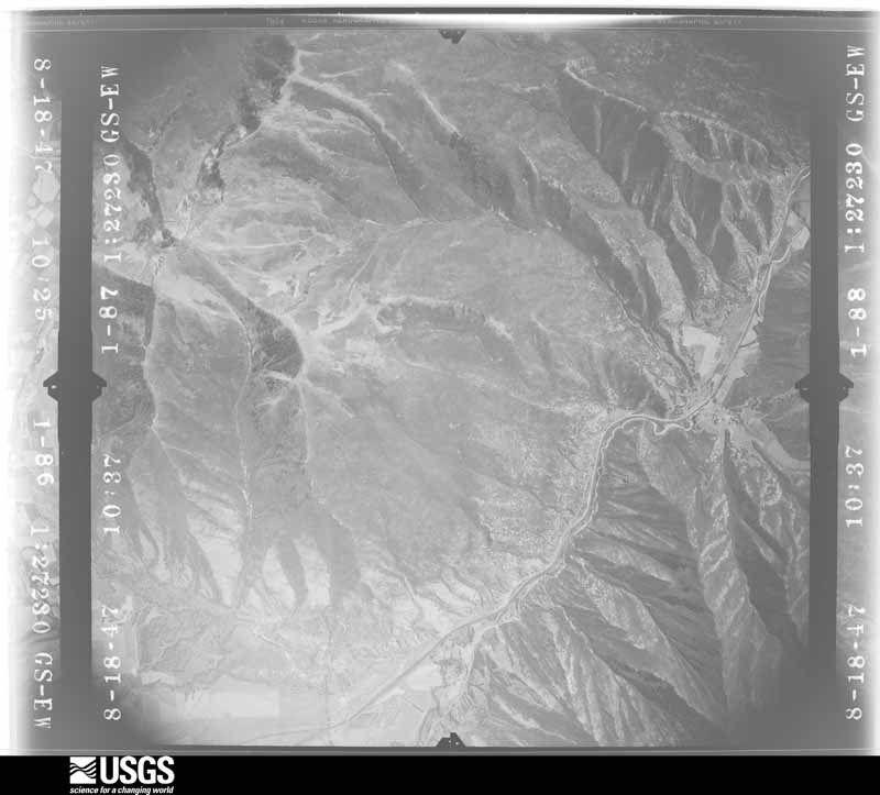
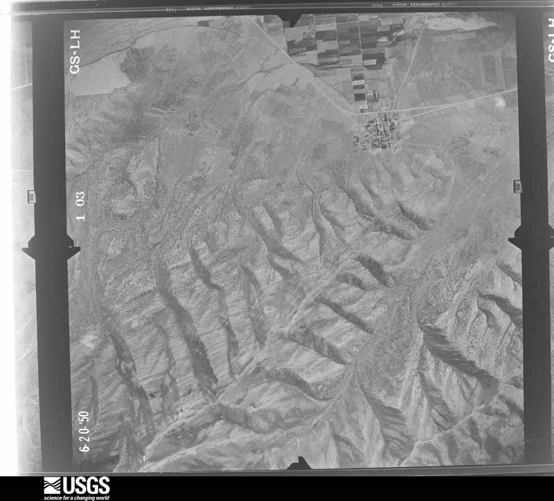
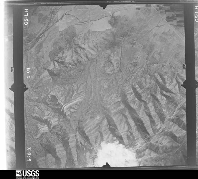
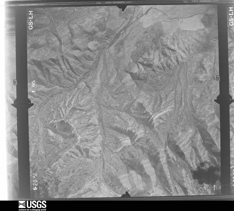
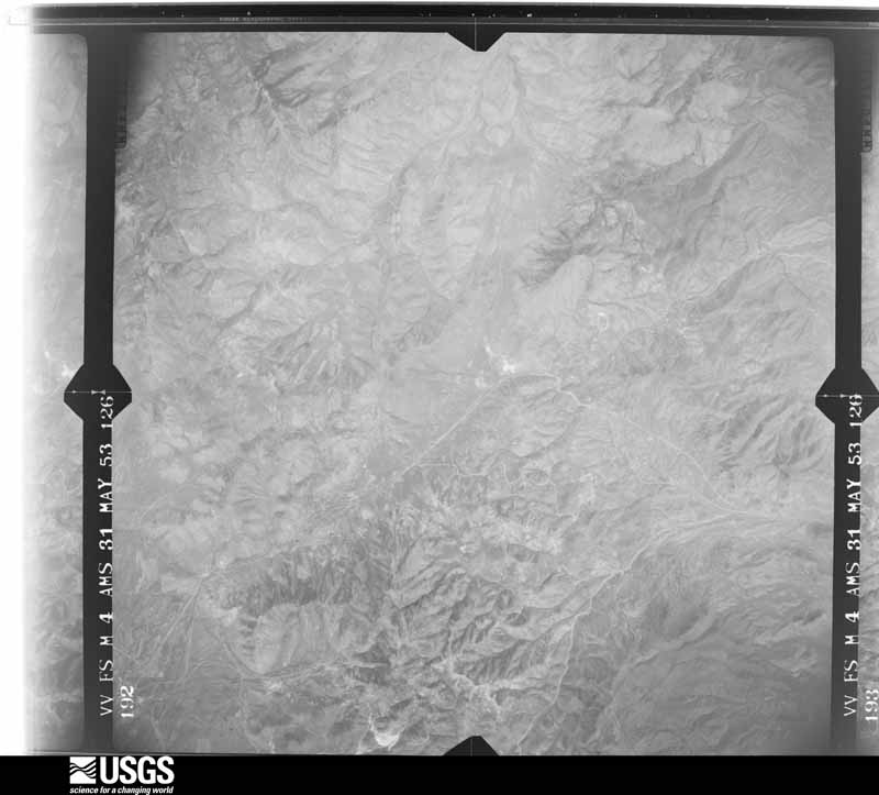
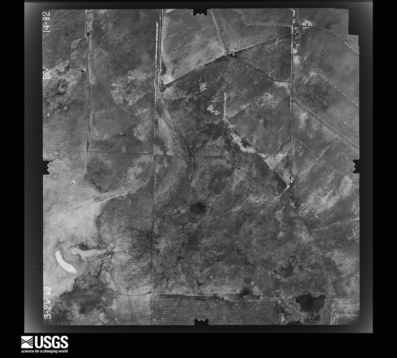
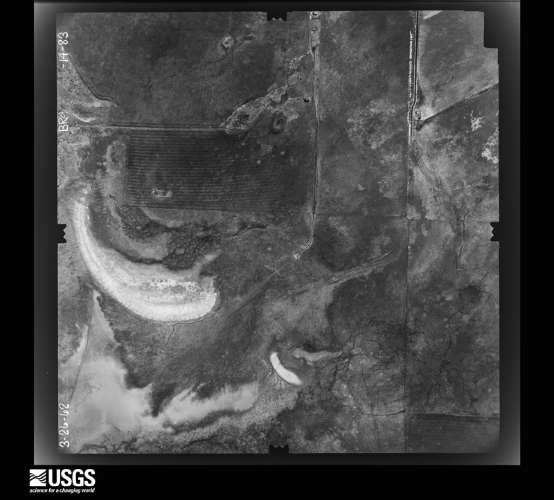
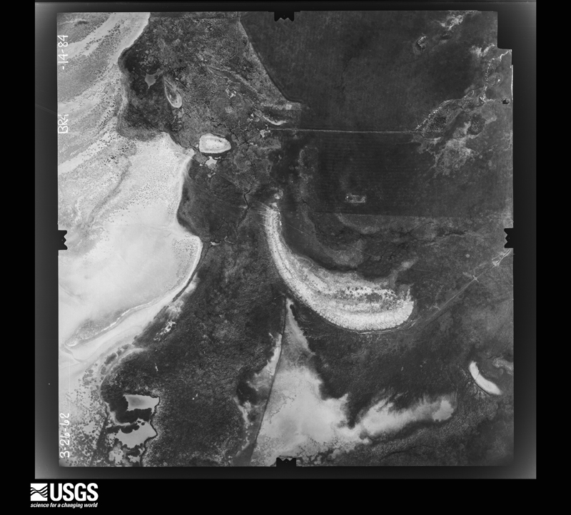
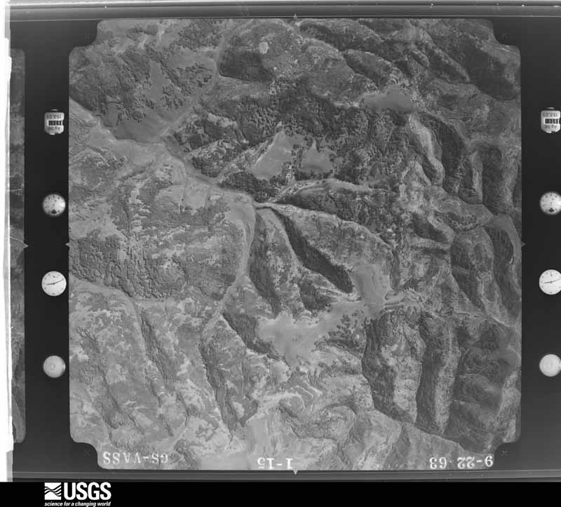
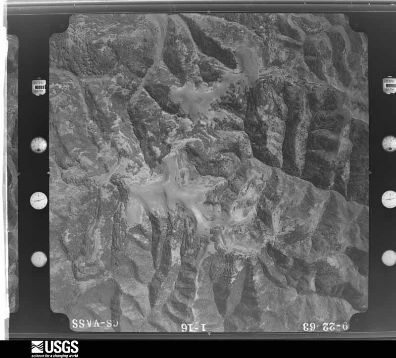
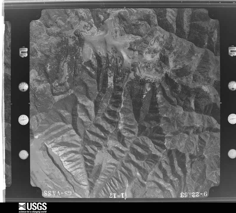
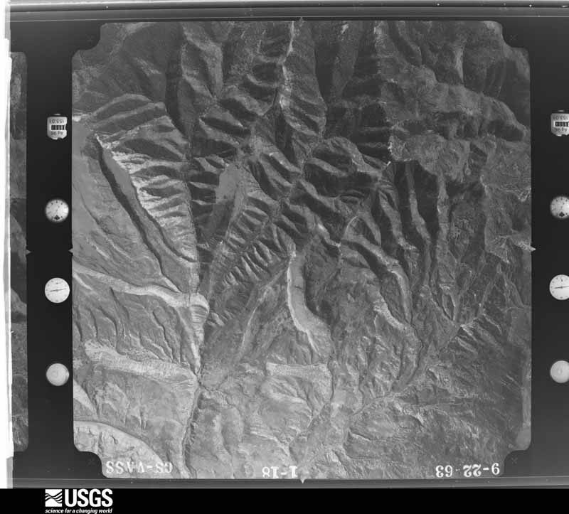
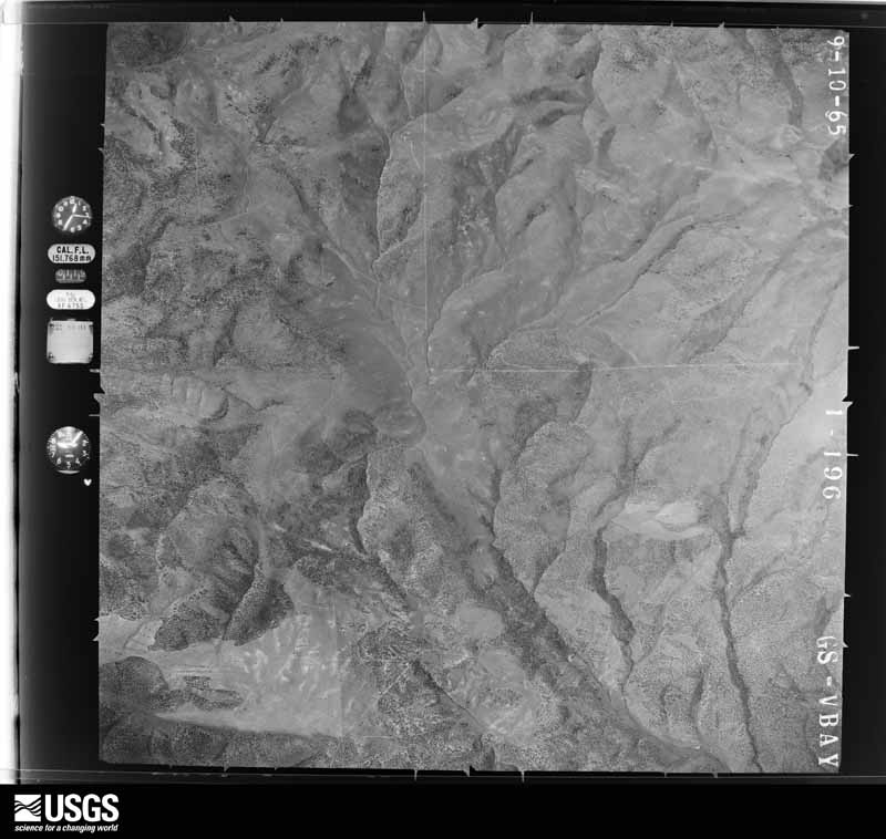
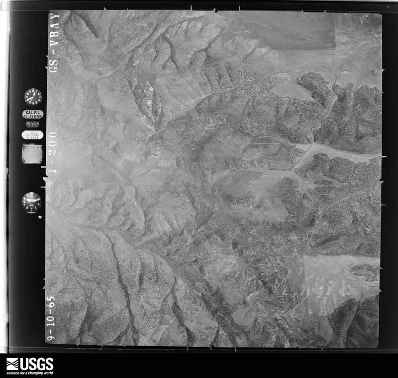
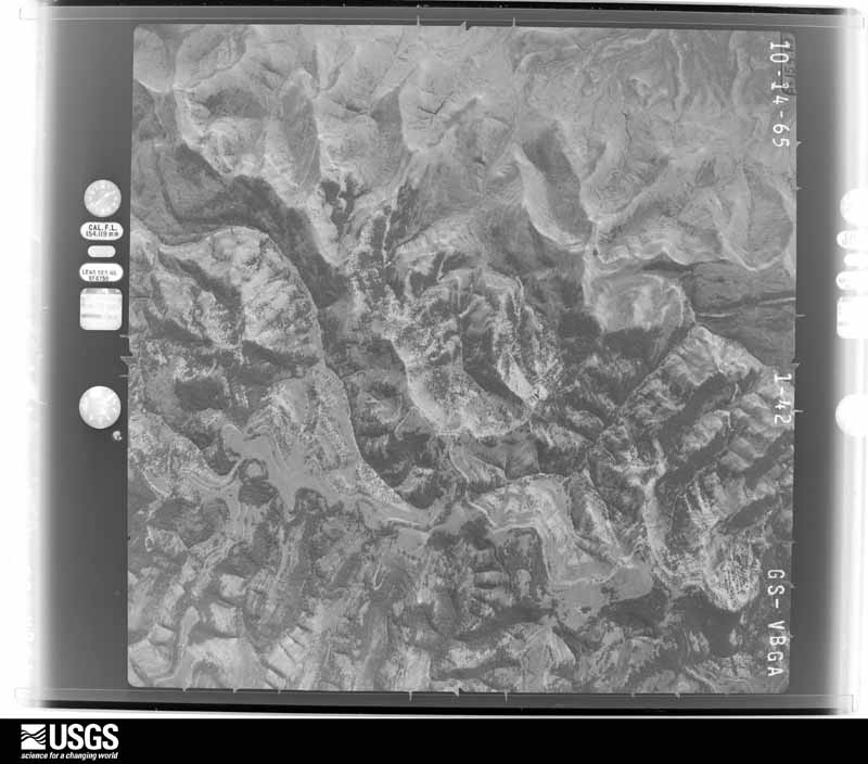
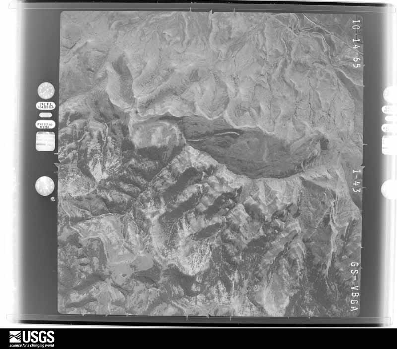
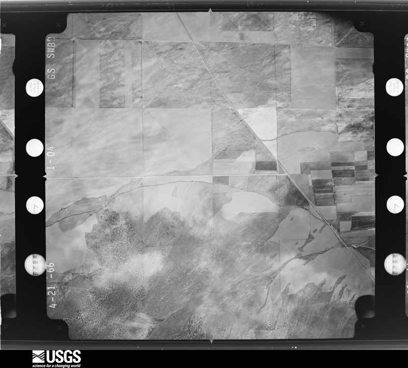
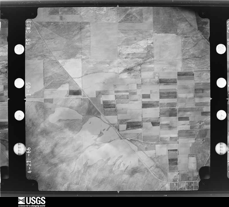
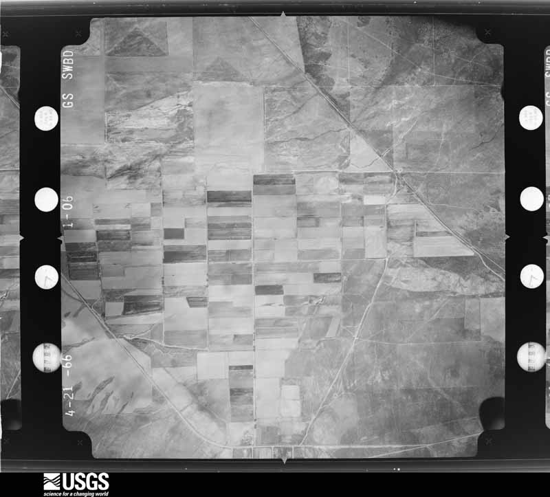
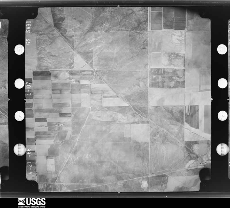
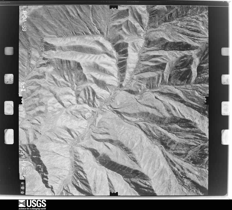
Flown by the U.S. Geological Survey between 1937 and 1989, the Aerial Photo Single Frames collection is the definitive mid-century view of the land: fields, roads and rivers as the camera saw them. The Survey holds 6,494 frames inside the rectangle that bounds this county; the 48 frames below were taken over the county itself, chosen across the decades of flights (at most four a year from that rectangle), so one flight cannot crowd out the rest. The full set is free to browse and download at EarthExplorer under the dataset Aerial Photo Single Frames.

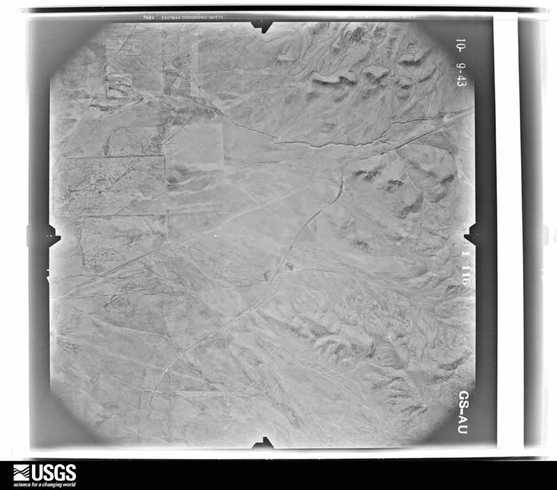
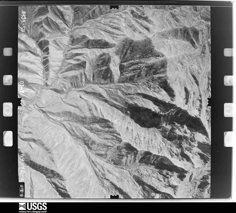
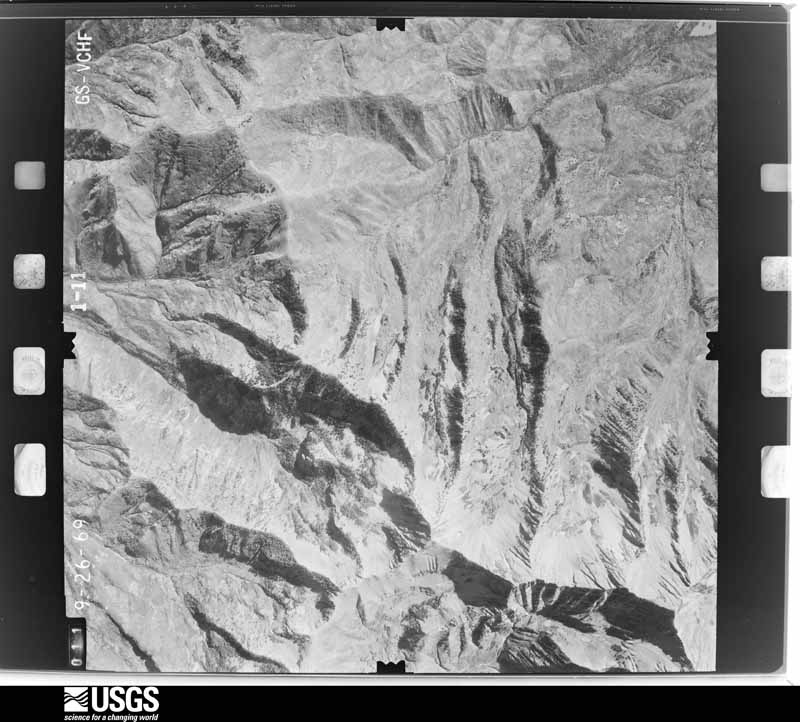
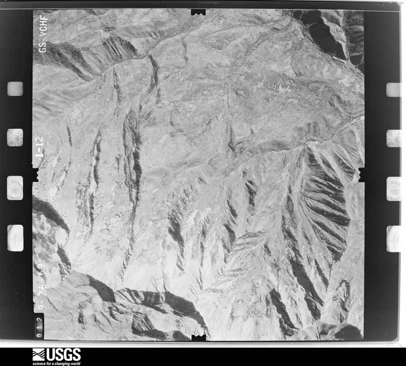
U.S. Geological Survey aerial photograph, 1943-10-09, scale 1:24000
1943-10-09, scale 1:24000. U.S. Geological Survey aerial photograph.
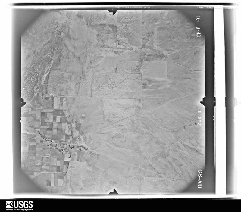
U.S. Geological Survey aerial photograph, 1943-10-09, scale 1:24000
1943-10-09, scale 1:24000. U.S. Geological Survey aerial photograph.
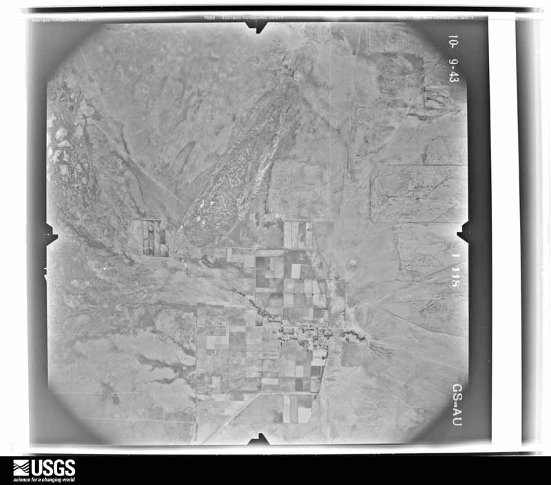
U.S. Geological Survey aerial photograph, 1943-10-09, scale 1:24000
1943-10-09, scale 1:24000. U.S. Geological Survey aerial photograph.
U.S. Geological Survey aerial photograph, 1943-10-09, scale 1:24000
1943-10-09, scale 1:24000. U.S. Geological Survey aerial photograph.
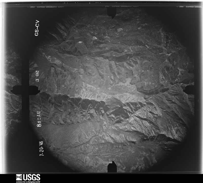
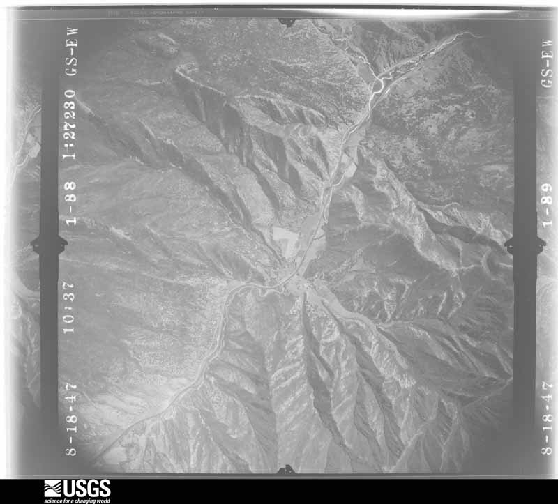
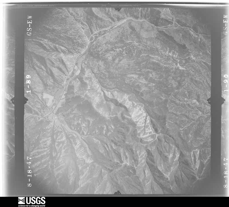
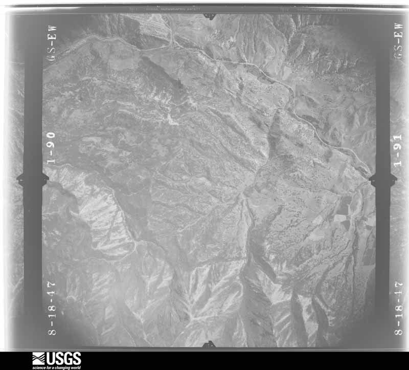
U.S. Geological Survey aerial photograph, 1946-11-01, scale 1:51000
1946-11-01, scale 1:51000. U.S. Geological Survey aerial photograph.
U.S. Geological Survey aerial photograph, 1946-11-01, scale 1:51000
1946-11-01, scale 1:51000. U.S. Geological Survey aerial photograph.
U.S. Geological Survey aerial photograph, 1946-11-01, scale 1:51000
1946-11-01, scale 1:51000. U.S. Geological Survey aerial photograph.
U.S. Geological Survey aerial photograph, 1946-11-01, scale 1:51000
1946-11-01, scale 1:51000. U.S. Geological Survey aerial photograph.
U.S. Geological Survey aerial photograph, 1947-09-20, scale 1:27200
1947-09-20, scale 1:27200. U.S. Geological Survey aerial photograph.
U.S. Geological Survey aerial photograph, 1947-09-20, scale 1:27200
1947-09-20, scale 1:27200. U.S. Geological Survey aerial photograph.
U.S. Geological Survey aerial photograph, 1947-09-20, scale 1:27200
1947-09-20, scale 1:27200. U.S. Geological Survey aerial photograph.
U.S. Geological Survey aerial photograph, 1947-09-20, scale 1:27200
1947-09-20, scale 1:27200. U.S. Geological Survey aerial photograph.
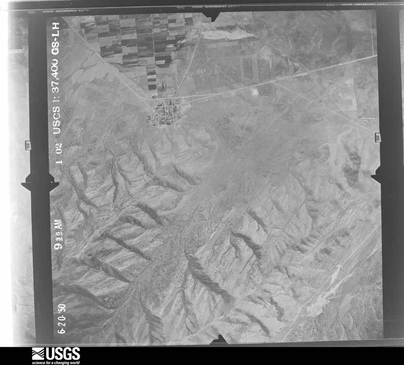
U.S. Geological Survey aerial photograph, 1950-08-01, scale 1:37400
1950-08-01, scale 1:37400. U.S. Geological Survey aerial photograph.
U.S. Geological Survey aerial photograph, 1950-08-01, scale 1:37400
1950-08-01, scale 1:37400. U.S. Geological Survey aerial photograph.
U.S. Geological Survey aerial photograph, 1950-08-01, scale 1:37400
1950-08-01, scale 1:37400. U.S. Geological Survey aerial photograph.
U.S. Geological Survey aerial photograph, 1950-08-01, scale 1:37400
1950-08-01, scale 1:37400. U.S. Geological Survey aerial photograph.
U.S. Geological Survey aerial photograph, 1953-05-31, scale 1:63300
1953-05-31, scale 1:63300. U.S. Geological Survey aerial photograph.
U.S. Geological Survey aerial photograph, 1953-06-16, scale 1:63300
1953-06-16, scale 1:63300. U.S. Geological Survey aerial photograph.
U.S. Geological Survey aerial photograph, 1953-06-16, scale 1:63300
1953-06-16, scale 1:63300. U.S. Geological Survey aerial photograph.
U.S. Geological Survey aerial photograph, 1953-06-16, scale 1:63300
1953-06-16, scale 1:63300. U.S. Geological Survey aerial photograph.
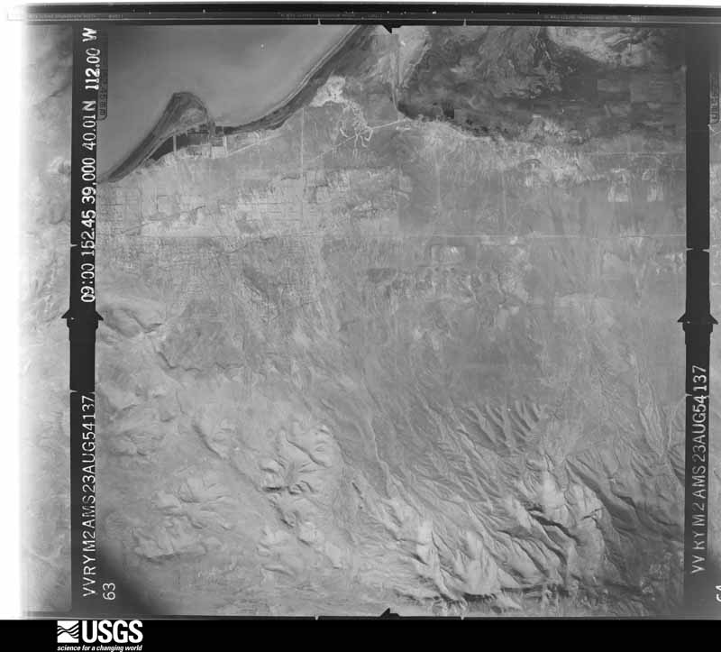
U.S. Geological Survey aerial photograph, 1954-08-23, scale 1:60000
1954-08-23, scale 1:60000. U.S. Geological Survey aerial photograph.
U.S. Geological Survey aerial photograph, 1954-08-23, scale 1:60000
1954-08-23, scale 1:60000. U.S. Geological Survey aerial photograph.
U.S. Geological Survey aerial photograph, 1954-08-23, scale 1:60000
1954-08-23, scale 1:60000. U.S. Geological Survey aerial photograph.
U.S. Geological Survey aerial photograph, 1954-08-23, scale 1:60000
1954-08-23, scale 1:60000. U.S. Geological Survey aerial photograph.
U.S. Geological Survey aerial photograph, 1961-10-13, scale 1:12000
1961-10-13, scale 1:12000. U.S. Geological Survey aerial photograph.
U.S. Geological Survey aerial photograph, 1961-10-13, scale 1:12000
1961-10-13, scale 1:12000. U.S. Geological Survey aerial photograph.
U.S. Geological Survey aerial photograph, 1961-10-13, scale 1:12000
1961-10-13, scale 1:12000. U.S. Geological Survey aerial photograph.
U.S. Geological Survey aerial photograph, 1961-10-13, scale 1:12000
1961-10-13, scale 1:12000. U.S. Geological Survey aerial photograph.
U.S. Geological Survey aerial photograph, 1962-03-01, scale 1:4000
1962-03-01, scale 1:4000. U.S. Geological Survey aerial photograph.
U.S. Geological Survey aerial photograph, 1962-03-01, scale 1:4000
1962-03-01, scale 1:4000. U.S. Geological Survey aerial photograph.
U.S. Geological Survey aerial photograph, 1962-03-01, scale 1:4000
1962-03-01, scale 1:4000. U.S. Geological Survey aerial photograph.
U.S. Geological Survey aerial photograph, 1962-03-01, scale 1:4000
1962-03-01, scale 1:4000. U.S. Geological Survey aerial photograph.
U.S. Geological Survey aerial photograph, 1963-09-03, scale 1:40000
1963-09-03, scale 1:40000. U.S. Geological Survey aerial photograph.
U.S. Geological Survey aerial photograph, 1963-09-03, scale 1:40000
1963-09-03, scale 1:40000. U.S. Geological Survey aerial photograph.
U.S. Geological Survey aerial photograph, 1963-09-03, scale 1:40000
1963-09-03, scale 1:40000. U.S. Geological Survey aerial photograph.
U.S. Geological Survey aerial photograph, 1963-09-03, scale 1:40000
1963-09-03, scale 1:40000. U.S. Geological Survey aerial photograph.
U.S. Geological Survey aerial photograph, 1965-09-09, scale 1:24000
1965-09-09, scale 1:24000. U.S. Geological Survey aerial photograph.
U.S. Geological Survey aerial photograph, 1965-09-09, scale 1:24000
1965-09-09, scale 1:24000. U.S. Geological Survey aerial photograph.
U.S. Geological Survey aerial photograph, 1965-10-22, scale 1:34000
1965-10-22, scale 1:34000. U.S. Geological Survey aerial photograph.
U.S. Geological Survey aerial photograph, 1965-10-22, scale 1:34000
1965-10-22, scale 1:34000. U.S. Geological Survey aerial photograph.
U.S. Geological Survey aerial photograph, 1966-04-21, scale 1:18800
1966-04-21, scale 1:18800. U.S. Geological Survey aerial photograph.
U.S. Geological Survey aerial photograph, 1966-04-21, scale 1:18800
1966-04-21, scale 1:18800. U.S. Geological Survey aerial photograph.
U.S. Geological Survey aerial photograph, 1966-04-21, scale 1:18800
1966-04-21, scale 1:18800. U.S. Geological Survey aerial photograph.
U.S. Geological Survey aerial photograph, 1966-04-21, scale 1:18800
1966-04-21, scale 1:18800. U.S. Geological Survey aerial photograph.
U.S. Geological Survey aerial photograph, 1969-09-26, scale 1:32000
1969-09-26, scale 1:32000. U.S. Geological Survey aerial photograph.
U.S. Geological Survey aerial photograph, 1969-09-26, scale 1:32000
1969-09-26, scale 1:32000. U.S. Geological Survey aerial photograph.
U.S. Geological Survey aerial photograph, 1969-09-26, scale 1:32000
1969-09-26, scale 1:32000. U.S. Geological Survey aerial photograph.
U.S. Geological Survey aerial photograph, 1969-09-26, scale 1:32000
1969-09-26, scale 1:32000. U.S. Geological Survey aerial photograph.

Weather records

66 stations, 33 gages

The thermometers that kept this county's weather, and the gages that measured the flow of its streams, as the federal records hold them. The extremes below are measured values from those records, not estimates.

The 1950 census, district by district

112 districts

Who lived here in 1950, one enumeration district at a time, as the Census Bureau described each district. Each row opens its official National Archives result, with Population Schedules and ED Maps available there.

  • 25-1Alpine election precinct: Alpine city
  • 25-2Alpine election precinct - That part outside Alpine city
  • 25-3American Fork election precinct: American Fork city: American Fork city - That part comprising Ward 1 Bounded by Ward line, 1st E., Main; City limits; City limits; Ward line, Center
  • 25-4American Fork election precinct: American Fork city - That part comprising Ward 2 Bounded by Ward line, 3rd W., State, 1st N.; Center, Ward line; City limits; City limits
  • 25-5American Fork election precinct: American Fork city - That part comprising Ward 3 Bounded by City limits; City limits, Ward line, 1st E.; Ward line, Center, 1st N., State, 3rd W., Ward line; City limits
  • 25-6American Fork election precinct: American Fork city - That part comprising Ward 4 Bounded by ward line, City limits; City limits; Main; 1st E., Ward line, Center, Ward line, 1st E.
  • 25-7American Fork election precinct - That part outside American Fork city, excluding Utah State Training School
  • 25-8Benjamin election precinct
  • 25-9Cedar Fort election precinct
  • 25-10Clinton election precinct
  • 25-11Colton election precinct
  • 25-12Dividend election precinct
  • 25-13Elberta election precinct
  • 25-14Fairfield election precinct
  • 25-15Genola election precinct: Genola town
  • 25-16Goshen election precinct: Goshen town
  • 25-17Goshen election precinct - That part outside Goshen town
  • 25-18Highland election precinct
  • 25-19Lake Shore election precinct
  • 25-20Lakeview election precinct
  • 25-21Lehi election precinct: Lehi city: Lehi city - That part Bounded by City limits; City limits; City limits, Denver and Rio Grande Western Railroad; 2nd W., State Hwy. 89, Unnamed stream
  • 25-22Lehi election precinct:Lehi city - That part Hounded by City limits; City limits, Unnamed stream, State Hwy. 89, 2nd W.; Denver and Rio Grande Western Railroad; City limits
  • 25-23Lehi election precinct:Lehi city - That part Bounded by Denver and Rio Grande Western Railroad; 2nd W., 2nd W. extended, Denver and Rio Grande Western Railroad, City limits; City limits; City limits
  • 25-24Lehi election precinct: Lehi city - That part Bounded by Denver and Rio Grande Western Railroad; City limits; City limits, Denver and Rio Grande Western Railroad; 2nd W. extended, 2nd W.
  • 25-25Lehi election precinct - That part outside Lehi city
  • 25-26Mapleton city, comprising parts of Mapleton and Springville election precincts: Mapleton city - That part in Mapleton election precinct
  • 25-27Mapleton city, comprising parts of Mapleton and Springville election precincts: Mapleton city - That part in Springville election precinct
  • 25-28Mapleton election precinct, outside Mapleton city: Mapleton election precinct - That part outside Mapleton city Bounded by Election Precinct line; Election Precinct line; Election Precinct line; Mapleton city limits
  • 25-29Mapleton election precinct - That part outside Mapleton city Bounded by Mapleton city limits; Mapleton city limits; Election Precinct line; Election Precinct line
  • 25-30Orem election precinct, coextensive with Orem city: Orem city - That part Bounded by City limits; City limits; 12th N. extended, 12th N.; U.S. Hwy. 91
  • 25-31Orem election precinct, coextensive with Orem city: Orem city - That part Bounded by City limits; U.S. Hwy. 91; 12th N.; City limits
  • 25-32Orem election precinct, coextensive with Orem city: Orem city - That part Bounded by 12th N.; U.S. Hwy. 91; 4th N.; City limits
  • 25-33Orem election precinct, coextensive with Orem city: Orem city - That part Bounded by 12th N., 12th N. extended; City limits; 4th N. extended, 4th N.; U.S. Hwy. 91
  • 25-34Orem election precinct, coextensive with Orem city: Orem city - That part Bounded by 4th N., 4th N. extended; City limits; City limits, 4th S.; U.S. Hwy. 91
  • 25-35Orem election precinct, coextensive with Orem city: Orem city - That part Bounded by 4th N.; U.S. Hwy. 91; 4th S., City limits; City limits
  • 25-36Orem election precinct, coextensive with Orem city: Orem city - That part Bounded by 4th S.; Main; 12th S.; City limits
  • 25-37Orem election precinct, coextensive with Orem city: Orem city - That part Bounded by 4th S.; City limits; 12th S. extended, 12th S.; Main
  • 25-38Orem election precinct, coextensive with Orem city: Orem city - That part Bounded by 12th S., 12th S. extended; City limits; City limits; Main
  • 25-39Orem election precinct, coextensive with Orem city: Orem city - That part Bounded by 12th S.; Main; City limits; City limits
  • 25-40Palmyra election precinct
  • 25-41Payson election precinct: Payson city: Payson city - That part Bounded by City limits; City limits; 1st N. extended, 1st N.; Main
  • 25-42Payson election precinct: Payson city - That part Bounded by City limits; Main; 1st N., Denver and Rio Grande Western Railroad; City limits
  • 25-43Payson election precinct: Payson city - That part Bounded by Denver and Rio Grande Western Railroad, 1st N.; 2nd W., Utah Ave., 3rd W., Unnamed rd.; City limits; City limits
  • 25-44Payson election precinct: Payson city - That part Bounded by 1st N.; 4th E., 3rd S., 4th E.; City limits; Unnamed rd., 3rd W., Utah Ave., 2nd W.
  • 25-45Payson election precinct: Payson city - That part Bounded by 1st N., 1st N. extended; City limits; City limits; 4th E., 3rd S., 4th E.
  • 25-46Payson election precinct - That part outside Payson city
  • 25-47Pleasant Grove election precinct: Lindon town
  • 25-48Pleasant Grove election precinct: Pleasant Grove city: Pleasant Grove city - That part Bounded by City limits; City limits; 2nd S., 7th E., Center; 4th E.
  • 25-49Pleasant Grove election precinct: Pleasant Grove city - That part Bounded by City limits; 4th E.; Center; City limits
  • 25-50Pleasant Grove election precinct: Pleasant Grove city - That part Bounded by Center; 4th E., 5th S., Locust Ave.; City limits; City limits
  • 25-51Pleasant Grove election precinct: Pleasant Grove city - That part Bounded by Center, 7th E., 2nd S.; City limits; City limits; Locust Ave., 5th S., 4th E.
  • 25-52Pleasant Grove election precinct - That part outside Lindon tom and Pleasant Grove city
  • 25-53Follow Enumeration District 25-7
  • 25-54Pleasant View election precinct
  • 25-55Provo election precinct, coextensive with Provo city: Provo city - That part of Ward 1 Bounded by Ward line; City limits; City limits; State Hwy. 91, 9th S., Upper East Union Canal
  • 25-56Provo election precinct, coextensive with Provo city: Provo city - That part of Ward 2 Bounded by 2nd S.; 3rd W.; 6th S.; 5th W.
  • 25-57Provo election precinct, coextensive with Provo city: Provo city - That part of Ward 1 Bounded by 2nd S.; 7th E., State Hwy. 91; 9th S.; 5th E., 6th S., 5th E.
  • 25-58Provo election precinct, coextensive with Provo city: Provo city - That part of Ward 1 Bounded by 2nd S.; 5th E.; 5th S.; 1st E.
  • 25-59Provo election precinct, coextensive with Provo city: Provo city - That part of Ward 1 Bounded by 2nd S.; 1st E., 5th S., University Ave.; 6th S.; 3rd W.
  • 25-60Provo election precinct, coextensive with Provo city: Provo city - That part of Ward 1 Bounded by 5th. S.; 5th E., 6th S., 5th E.; 9th S.; University Ave.
  • 25-61Provo election precinct, coextensive with Provo city: Provo city - That part of Ward 1 Bounded by 6th S., University Ave., 9th S.; State Hwy. 91; City limits; Ward line
  • 25-62Provo election precinct, coextensive with Provo city: Provo city - That part of Ward 2 Bounded by Ward line, 2nd N.; 8th W.; 4th S., Union Pacific Railroad, Center; 17th W.
  • 25-63Provo election precinct, coextensive with Provo city: Provo city - That part of Ward 2 Bounded by City limits, Ward line; 17th W., 6th S.; Ward line; City limits
  • 25-64Provo election precinct, coextensive with Provo city: Provo city - That part of Ward 2 Bounded by Center; Union Pacific Railroad., 4th S., 8th W.; 6th S.; 17th W.
  • 25-65Provo election precinct, coextensive with Provo city: Provo city - That part of Ward 2 Bounded by 2nd S.; 5th W.; 6th S.; 8th W.
  • 25-66N/A
  • 25-67Provo election precinct, coextensive with Provo city: Provo city - That part of Ward 3 Bounded by City limits; City limits; 12th N.; State Hwy. 91
  • 25-68Provo election precinct, coextensive with Provo city: Provo city - That part of Ward 3 Bounded by City limits; State Hwy. 91; Provo River; City limits
  • 25-69Provo election precinct, coextensive with Provo city: Provo city - That part of Ward 3 Bounded by City limits, Provo River; 8th W.; 2nd N., Ward line
  • 25-70Provo election precinct, coextensive with Provo city: Provo city - That part of Ward 3 Bounded by Provo River; State Hwy. 91, 5th W.; 2nd N.; 8th W.
  • 25-71Provo election precinct, coextensive with Provo city: Provo city - That part of Ward 3 Bounded by 12th N., City limits; Ward line, 1st W., 5th N., 2nd N.; 2nd N.; 5th W.
  • 25-72Provo election precinct, coextensive with Provo city: Provo city - That part of Ward 3 Bounded by 2nd N.; 2nd W.; 2nd S.; 5th W.
  • 25-73Provo election precinct, coextensive with Provo city: Provo city - That part of Ward 3 Bounded by 2nd N.; 5th W.; 2nd S.; 8th W.
  • 25-74Provo election precinct, coextensive with Provo city: Provo city - That part of Ward 4 Bounded by City limits; Ward line, 4th E.; 7th N.; Ward line
  • 25-75Provo election precinct, coextensive with Provo city: Provo city - That part of Ward 4 Bounded by 7th N.; 4th E., 5th N., 3rd E.; 4th N.; 2nd W., 5th N.,1st W.
  • 25-76Provo election precinct, coextensive with Provo city: Provo city - That part of Ward 4 Bounded by 4th N.; 3rd E.; 1st N;. 2nd W.
  • 25-77Provo election precinct, coextensive with Provo city: Provo city - That part of Ward 4 Bounded by 1st N.; 3rd E.; 2nd S.; 2nd W.
  • 25-78Provo election precinct, coextensive with Provo city: Provo city - That part of Ward 5 Bounded by City limits; City limits; Unnamed rd., Upper East Union Canal; 9th E.
  • 25-79Provo election precinct, coextensive with Provo city: Provo city - That part of Ward 5 Bounded by City limits; 9th E.; D, 7th E., 5th N.; 4th E., Ward line
  • 25-80Provo election precinct, coextensive with Provo city: Provo city - That part of Ward. 5 Bounded by Upper East Union Canal; 3rd N. extended, 3rd N.; 7th E., D, 9th E.
  • 25-81Provo election precinct, coextensive with Provo city: Provo city - That part of Ward 5 Bounded by Unnamed rd., City limits; City limits; Ward line; Upper East Union Canal
  • 25-82Provo election precinct, coextensive with Provo city: Provo city - That part of Ward 5, excluding Utah State Hospital Bounded by 3rd N., 3rd N. extended; Upper East Union Canal; Ward line, 3rd S.; 7th E.
  • 25-83Provo election precinct, coextensive with Provo city: Utah State Hospital (In Provo city, Ward 5)
  • 25-84Provo election precinct, coextensive with Provo city: Provo city - That part of Ward 5 Bounded by 5th N.; 7th E.; 2nd N.; 3rd E.
  • 25-85Provo election precinct, coextensive with Provo city: Provo city - That part of Ward 5 Bounded by 2nd N.; 7th E.; 2nd S.; 3rd E.
  • 25-86Salem election precinct: Salem city
  • 25-87Salem election precinct - That part outside Salem city
  • 25-88Santaquin election precinct: Santaquin city: Santaquin city - That part north of U.S. Hwy. 6
  • 25-89Santaquin election precinct: Santaquin city - That part south of U.S. Hwy. 6
  • 25-90Santaquin election precinct - That part outside Santaquin city
  • 25-91Soldier Summit election precinct
  • 25-92Spanish Fork election precinct: Spanish Fork City: Spanish Fork City - That part comprising Ward 1 Bounded by 2nd N.; 4th E.; City limits; Ward line, 1st E.
  • 25-93Spanish Fork election precinct: Spanish Fork City - That part comprising Ward 2 Bounded by Ward line, 2nd N.; 1st E., Ward line; City limits; City limits
  • 25-94Spanish Fork election precinct: Spanish Fork City - That part of Ward 3 Bounded by City limits; Ward line, 1st E., 7th N., 2nd W.; 2nd N., Ward line; City limits
  • 25-95Spanish Fork election precinct: Spanish Fork City - That part of Ward 3 Bounded by 7th N.; 1st E;. 2nd N.; 2nd W.
  • 25-96Spanish Fork election precinct: Spanish Fork City - That part comprising Ward 4 Bounded by City limits; City limits; Ward line, 2nd N.; 1st E., Ward line
  • 25-97Spanish Fork election precinct: Spanish Fork City - That part comprising Ward 5 Bounded by 2nd N., Ward line; City limits; City limits; 4th E.
  • 25-98Spanish Fork election precinct - That part outside Spanish Fork City
  • 25-99Spring Lake election precinct
  • 25-100Springville election precinct, outside Mapleton city: Springville city: Springville city - That part of Ward 1 Bounded by 4th S., Ward line; City limits; 7th S.; Main
  • 25-101Springville election precinct, outside Mapleton city: Springville city - That part of Ward 1 Bounded by 7th S.; City limits; City limits; City limits, Ward line, Main
  • 25-102Springville election precinct, outside Mapleton city: Springville city - That part comprising Ward 2 Bounded by Center; Main, Ward line; City limits; City limits
  • 25-103Springville election precinct, outside Mapleton city: Springville city - That part comprising Ward 3 Bounded by City limits; Main; Center; City limits
  • 25-104Springville election precinct, outside Mapleton city: Springville city - That part of Ward 4 Bounded by City limits; City limits; Center; 4th E., 4th E. extended
  • 25-105Springville election precinct, outside Mapleton city: Springville city - That part of Ward 4 Bounded by City limits; 4th E. extended, 4th E.; Center; Main
  • 25-106Springville election precinct, outside Mapleton city: Springville city - That part of Ward 5 Bounded by Center; City limits; Ward line, 4th S.; 7th E.
  • 25-107Springville election precinct, outside Mapleton city: Springville city - That part of Ward 5 Bounded by Center; 7th E.; 4th S.; Main
  • 25-108Springville election precinct - That part outside Mapleton and Springville cities (Remainder of Springville election precinct is in Mapleton city)
  • 25-109Thistle election precinct
  • 25-110Vineyard election precinct
  • 25-111Unorganized Territory (Utah Lake and Islands)
  • 25-112Genola election precinct - That part outside Genola town (4 parts)

Wildfire, 1992 to 2020

2,704 fires

Every wildfire the federal occurrence database records inside this county: 2,704 of them, burning about 285,582 acres. 753 started naturally and 130 were recorded as arson. Each settlement page carries the fires within five miles of it.

Reported cause Fires
Missing data/not specified/undetermined960
Natural753
Debris and open burning217
Recreation and ceremony216
Equipment and vehicle use133
Arson/incendiarism130
Firearms and explosives use100
Fireworks47
Railroad operations and maintenance45
Power generation/transmission/distribution43
Misuse of fire by a minor38
Smoking18
Other causes4

The five largest, by the area the report gives. One of them was set deliberately.

DateCause SizeReported by Name on the report
4 August 2018Natural31,661 acresManti-Lasal National ForestCOAL HOLLOW
24 August 2018Natural18,620 acresUinta-Wasatch-Cache National ForestBALD MOUNTAIN
28 June 2020Missing data/not specified/undetermined12,584 acresSalt Lake Field OfficeKNOLLS
11 August 2017Natural9,159 acresUinta-Wasatch-Cache National ForestTANK HOLLOW
16 July 2001Arson/incendiarism9,000 acresUtah Division Forestry Fire State LandsBEEF HOLLOW
21 August 2019Equipment and vehicle use8,906 acresSalt Lake Field OfficeGOOSE POINT
2 July 1999Missing data/not specified/undetermined8,826 acresUinta-Wasatch-Cache National ForestWEST MOUNTAIN 2
18 August 2001Missing data/not specified/undetermined8,021 acresUinta-Wasatch-Cache National ForestMOLLIE

Every settlement page carries the fires within five miles of it - see the settlement index below.

Storms, 1959 to 2025

60 of 304 shown

The NOAA Storm Events Database holds 304 reports for this county, causing 4 deaths, 30 injuries and about $66,561,880 in recorded property damage. Each settlement page carries the reports that name it.

Kind of event Reports
Thunderstorm Wind180
Hail53
Flash Flood31
Tornado10
Debris Flow9
Lightning8
Funnel Cloud5
Flood5
Heavy Rain3

The most serious of them, by death, then injury, then recorded damage. The accounts are quoted exactly as the forecast office filed them.

WhenEvent Place namedHarm What the report says
August 1997Thunderstorm Wind(Pvu)Provo Muni Arpt1 killed, 1 hurtno account filed
August 2015LightningLehi1 killedA family was having a picnic in a park in Lehi, Utah, when a thunderstorm moved across the area. Lightning struck a nearby tree, and critically injured a 50-year-old woman. No one else in the party was seriously injured, but the victim passed away in a hospital a few days later.
June 2002Thunderstorm WindPleasant Grove1 killedA strong microburst wind resulted in one death in Utah County. The fatality occurred at a baseball park in Pleasant Grove, when a gust of wind blew a 250-pound portable pitching mound over, striking the 13-year-old boy in the head.
July 2001Thunderstorm WindSpanish Fork1 killedA 46-year-old man was killed after a strong Microburst blew his fireworks stand on top of him.
May 1994Thunderstorm WindProvo15 hurt, $50,000,000no account filed
July 1987Hailnot stated8 hurtno account filed
October 1998LightningAlpine1 hurt, $100,000no account filed
August 2009LightningSpring Lake1 hurt, $5,000Four people were riding in a late model GMC Yukon SUV south on I-15, when the vehicle was struck by lightning about halfway between Santaquin and Payson. The vehicle immediately stalled. The front passenger was touching the radio/CD player at the moment lightning struck; she became unconscious and stopped breathing. Her husband administered CPR and she was resuscitated, and has since made a full recovery. The vehicle was damaged, with the electrical system and other components having to be replaced.
August 2021Thunderstorm WindLehi Carter Arpt1 hurt, $2,000A 60-foot-tall pine tree fell on 2 people, injuring 1.
June 2020LightningCedar Vly1 hurtLightning struck behind a man and a woman walking in Eagle Mountain City. The man was knocked unconscious and flown to a nearby hospital. The woman was also impacted, but not hurt.
June 2005Thunderstorm WindPleasant Grove1 hurtTree fell on woman east of Pleasant Grove in microburst
August 2003LightningCentral Portion1 hurtA 26-year-old hiker was seriously injured after being struck by lightning high on Mt. Timpanogos. He was struck in the head, and the bolt exited his left ankle.
August 2006Thunderstorm WindCountywide$4,000,000Widespread tree damage county wide. Extensive damag to roofs in South Provo, downtown Provo, and Springville. Line of power poles snapped along 1600w in Provo. Damage estimates from UDOT and regional private insurance claims.
September 2002Flash FloodSantaquin$3,000,000Heavy rains over several days caused flash flooding and mudslides below a burn area in Santaquin. The rain also caused a canal to overflow its banks in the same area, making conditions even worse. An estimated 3 million dollars damage was done to to about 40 homes and several vehicles as mudslides up to 7 feet deep moved down the hillside. No injuries were reported.
August 2006Thunderstorm Wind(Pvu)Provo Muni Arpt$3,000,000no account filed
September 2012Flash FloodLehi$1,000,000Heavy rain over the Dump Fire burn scar created a debris flow, flooding a portion of Saratoga Springs, and forcing the closure of Highway 68 for a period of time. Twenty residences experienced flood damage, with 11 of those homes having water in their basements, and 9 of those homes experiencing solely yard damage. Finished basements were completely destroyed in 5 separate homes, with the most impacted home having mud nine feet deep in the basement. Structural damage to homes was estimated at $250,000, and many personal possessions inside the homes were also damaged or destroyed. Public infrastructure was also impacted, with approximately $200,000 worth of damage to a nearby park and $50,000 of fencing destroyed.
September 2013Flash FloodGoshen$900,000Heavy rain caused flash flooding across much of urban Utah County, with multiple locations recording 0.6-0.8 inches of rain in only 15 minutes. The most significant damage from flooding was reported in Provo, Orem, Payson, and Santaquin. Street flooding was widespread and some roads incurred major damage, with the worst damage occurring at 900 North and Grand Avenue in Provo, where water undercut and washed out a large portion of the asphalt road. Debris from the storm was scattered across most local roadways, taking several days to clean up, and even closed some roads for a period of time. Flowing water caused also caused significant damage to large concrete stairs at Lions Park in Provo. At University Mall in Orem, water quickly filled the parking lot, submerging many cars in more than a foot of water. ||Residential areas also received significant flood damage. In Provo, at least 25 homes had major damage, with more than 50 receiving minor damage. In Orem, approximately 30 homes received flood damage. In Santaquin, about 30 homes had flooding a foot deep or more, while about 30 other homes had flooding with less than a foot of water. Water wasn't the only problem in Santaquin, as the storm drainage system became overwhelmed, and raw sewage flowed into many homes. ||Finally, the flooding also impacted Timpanogos Cave National Monument, where heavy rain and associated debris stranded 150 hikers for several hours, before rangers were able to clear a path and rescue them. The Monument was closed for two full days while debris was cleaned up from both the hiking trails and nearby State Route 92.
August 2025Flash FloodIronton$500,000A debris flow out of the Buckley Draw burn scar brought flash flooding to several homes, a church, and closed down portions of Nevada Avenue and Slate Canyon Drive.
May 1994Thunderstorm WindLakeshore$500,000no account filed
July 2004Flash FloodNorthwest Portion$400,000no account filed
July 2004Flash FloodNorthwest Portion$350,000no account filed
August 1998HailAmerican Fork$300,000no account filed
June 1998Heavy RainOrem$260,000no account filed
June 2001Thunderstorm WindCountywide$250,000no account filed
September 2013Debris FlowAlpine$200,000Heavy rain over the Quail Hollow Fire burn scar caused a significant debris flow, with water and mud flowing down into the town of Alpine. About 100 residents were evacuated from their homes due to the imminent flooding. Roads across the area were inundated with mud, and 15 homes were damaged by the water and debris.
September 2002Flash FloodAlpine$200,000no account filed
July 2017Flash FloodSalem$125,000Heavy rain caused widespread street and residential flooding in Salem, with 139 homes damaged. This damaged varied widely; most homes experienced only minor yard or basement flooding, while 3-5 homes experienced significant basement damage. One person sustained a major leg injury that required stitches, after a window was blown out and glass cut her leg. At least one other person sustained minor injuries related to the flooding.
August 2021FloodOlmstead$100,000Numerous reports, videos, and photos of water over roadways near Utah Valley University in the vicinity of Interstate 15 were received.
September 2013Thunderstorm WindProvo Arpt$100,000Strong thunderstorm winds developed in Provo, with the Provo airport AWOS recording a peak wind gust of 59 mph. The most significant wind damage was a roof that was torn off of an apartment building. In addition, some smaller trees were knocked down, and hundreds of tree branches were downed.
July 1996Thunderstorm WindProvo (Byu)$100,000no account filed
August 2019Debris FlowDetour$81,000Heavy rain over the Tank Hollow Fire burn scar produced a debris flow across U.S. Highway 6 at milepost 202.
July 2019Flash FloodThistle$79,000Heavy rain over the Bald Mountain Fire and Pole Creek Fire burn scars resulted in debris flows across U.S. Highway 89 between Birdseye and Thistle. The Utah Highway Patrol reported mud, rock, and other debris that was 2 feet thick across the roadway. U.S. Highway 89 was closed from the time of the event until 8:58 pm on July 28, 2019, as highway crews cleaned up and repaired the damage.
August 2019Debris FlowBirdseye$68,000Heavy rain over the Pole Creek Fire burn scar, produced a debris flow across U.S. Highway 89 near Birdseye.
July 2019Flash FloodBirdseye$60,000Heavy rain over the Bald Mountain Fire and Pole Creek Fire burn scars, produced a debris flow that closed northbound U.S. Highway 89 near Birdseye.
August 2024HailLehi$50,000Social media reports showed 1.5 inch diameter hail at Lehi. Time and location are estimated by radar.
May 2023FloodSpring Lake$50,000Utah County Sherriff's Department initially reported a partial washout of the Nebo Loop Scenic Byway in Payson Canyon near the Shram Creek Trailhead on 5/22/23 associated with ongoing spring snowmelt runoff (likely further exacerbated by nearly daily scattered afternoon showers and thunderstorms). By 5/25/23, pictures and follow-up reports showed that the road had fully washed out due to the continued runoff.
April 2023FloodThistle$50,000Law enforcement reported water up to two feet deep on US-89. One car was stuck and flooded. UDOT closed the road from Thistle Junction to Fairview due to dangerous conditions.
October 2015Flash FloodLehi$50,000Flash flooding was reported in Lehi, with some flooded residential roadways. In addition, approximately six homes sustained flood damage, primarily to basements.
July 2011Flash FloodLindon$50,000About an hour after a heavy rainstorm caused flash flooding in Salt Lake County, another storm moved through Utah County, causing flash flooding in Orem. Storm drains were overflowing and water covered the roads up to 3 inches deep. At least seven homes had flooding in their basements or garages.
July 2002Thunderstorm WindProvo$50,000A 71 mph (62 kts) wind gust was reported from a severe thunderstorm. Several trees and power poles were knocked down or damaged. There was also damage to cars and structures.
June 1998LightningOrem$50,000no account filed
March 2023FloodAlpine$40,000Heavy rain on the lower elevation snowpack resulted in multiple houses being inundated, with one basement filling with water while occupied. Time estimated.
July 2014Flash FloodCedar Vly$30,000Heavy rain caused flash flooding in Eagle Mountain, Utah, specifically in the Cedar Pass Ranch neighborhood. Flood waters were primarily limited to two properties, with one home experiencing significant damage.
September 2013Flash FloodSoldier Summit$30,000In the morning hours of September 2, heavy rain over State Route 6 caused a mudslide approximately 10 miles southeast of Soldier Summit. The road was closed for about 8 hours as crews cleared away the mud, and the slide temporarily closed parts of a construction project in the area. The mudslide also caused some damage to a local farm on the other side of the road.
June 1998Heavy RainCountywide$28,000no account filed
August 2024HailGeneva$25,000Social media photos showed hail from 1-1.75 inches in diameter at Orem and Lindon.
September 1997HailAmerican Fork$25,000no account filed
September 1982Tornado (F0)not stated$25,000no account filed
April 1966Tornadonot stated$25,000no account filed
August 2022Thunderstorm WindSpringville$20,000Trees fell onto several hourse in Springville.
October 2018Flash FloodAlpine$20,000Heavy rain over the Quail Fire burn scar produced flash flooding, with the basements of two homes in Highland flooded.
August 2015Flash FloodSalem$20,000A thunderstorm dropped very heavy rainfall near Woodland Hills and, combined with saturated soil from large amounts of rain the previous day, produced a large mudslide across the area. The mud damaged the basement of one home and also invaded five other properties, with extensive mud clean-up necessary on private driveways and along Skylake Drive. A total of 14 homes were evacuated as a precaution immediately following the mudslide.
July 1998Heavy RainCountywide$20,000no account filed
April 1997Thunderstorm WindProvo$20,000no account filed
July 2025Thunderstorm WindAlpine$15,000Broadcast media report of a large uprooted spruce tree with root ball crushing two cars in a driveway. Wind gusts the result of a microburst.
August 2024HailOlmstead$15,000One inch diameter hail was reported at Lindon.
August 2024HailLehi$15,000Social media photos from around Eagle Mountain, Saratoga Springs, and Lehi showed 1-1.5 inch diameter hail.
August 2013Debris FlowAlpine$15,000Heavy rain over the Quail Fire burn scar near Alpine resulted in a debris flow and flash flooding. Mud flowed across several streets in Alpine, including Grove Drive, Box Elder Drive, and Moyle Drive. One home was flooded, with mud and water 18 inches deep flowing into the basement. One shopping center in the area also experienced some flooding as the water and mud flowed through town. Mud and debris took multiple days to clean up on many roads and lawns.||Associated with the same thunderstorm, flash flooding occurred along the Dry Creek Trail near American Fork Canyon, stranding two hikers for a couple hours before they could be rescued.
July 2013Debris FlowAlpine$10,000A debris flow occurred on the Quail Fire burn scar near Alpine after heavy rain fell over the area. Flooding impacted a couple of residential yards and a couple of roads across the area, but major impacts to houses were avoided due to mitigation and rerouting of the flood waters.
September 2013Tornado (EF0)American Fork$10,000A small tornado was spotted and recorded by a member of the public. The tornado removed a metal roof from a barn, and did minor damage to trees and other outbuildings in the area.

Mines and quarries

756 recorded

The Survey's mineral resources record lists 756 workings inside this county. 176 still produce and 580 are closed or unrecorded. Each settlement page carries the workings within five miles of it.

Commodity Workings
Sand and Gravel, Construction250
Clay78
Lead65
Iron35
Lead, Silver32
Manganese27
Silver, Lead25
Silver21
Fire Clay (Refractory)20
Lead, Zinc18
Limestone, General16
Zinc13
Copper11
Calcium10

The least common of them first, because a county's hundredth gravel pit says nothing its first ten did not.

Where SiteCommodity StatusRecorded
American ForkGold, Silver, Copper, Lead, Zinc, TungstenOccurrence
Apex Standard MineSilver, Manganese, Lead, Gold, CopperPast Producer1923
Apex Standard Number 1 MineCopper, Lead, Silver, Gold, IronPast Producer1924, 1925, 1936
Bay State MineSilver, Lead, Antimony, Zinc, Barium-BaritePast ProducerBarite, Sphalerite, Stibnite
Bay State MineLead, Silver, Antimony, Barium-Barite, ZincOccurrence1912, 1915, 1919
Bay State MineLead, Zinc, Silver, Antimony, Barium-BaritePast Producer
Beck Tunnel Consolidated Mining CoSilver, Manganese, Lead, Gold, Barium-BaritePast Producer
Bingham Mines Co? AditsLead, Cadmium, SilverOccurrenceSurface/Underground
Birdseye MarbleMarble, DimensionOccurrenceMetamorphic
Birdseye QuarryStone, DimensionPast ProducerLimestone
Black BalsamFluorine-FluoriteProspect1903
Black Balsam ProspectLead, Copper, Fluorine-FluoriteOccurrenceChalcopyrite, Fluorite, Galena, Malachite
Blowhile Hill Se ProspectVolcanic MaterialsOccurrenceSurface
Blowhole Hill-Greeley Pass ProspectsCalcium, Sand and Gravel, Construction, Iron, Manganese, Volcanic MaterialsPast ProducerCalcite, Limonite, Pyrolusite
Burgin Concentrator (Facility)Gold, Zinc, Lead, Manganese, Molybdenum, Selenium, Limestone, Dimension, CopperPast Producer
Burgin Kennecott MineLead, Zinc, Silver, Cadmium, ManganeseProducer1956, 1965
Burgin No 1 and No 2 ShaftSilver, Lead, Gold, Copper, Zinc, Manganese, CadmiumPast Producer1956, 1965, 1978
Central Standard Consol. Mining Co.Lead, ManganesePast ProducerUnderground
Chaffin QuarryDolomite, Limestone, GeneralPast ProducerSurface
ColoradoSilver, Lead, Copper, Gold, ZincPast ProducerCalamine, Galena, Smithsonite
Crotons ProspectGypsum-AnhydriteOccurrenceVein
Deprezin PropertyBismuth, Gold, SilverOccurrenceVein
Deprezin PropertyBismuth, Silver, GoldProspect
DutchmanZinc, Silver, Lead, Gold, CopperPast ProducerUnderground
El Dorado MineSilver, Zinc, LeadPast ProducerUnderground
Eureka Bullion ShaftLead, Silver, Copper, Gold, ZincPast Producer1909, 1919, 1935
Eureka Lilly MineLead, Silver, Zinc, Gold, Copper, Bismuth, Manganese, ArsenicPast Producer1895, 1909, 1949
Eureka Lily MineGold, Zinc, Silver, Lead, CopperPast Producer1909, 1936
Eureka Standard MineSilver, Lead, Gold, CopperPast Producer1927, 1928
Farragut MineSilver, Gold, Copper, LeadPast Producer
Farragut ProspectSilver, Cadmium, Lead, Zinc, Gold, CopperOccurrenceUnderground
Fields ProspectGold, Copper, Lead, Silver, ZincPast Producer
Golden Relief ClaimsCopper, Gold, SilverOccurrenceGold
Greeley GroupClay, IronOccurrenceSurface/Underground
Iron Blossom Et AlLead, Copper, Zinc, SilverProducerEnargite, Galena, Sphalerite
Iron Blossom Ore RunSilver, Lead, Gold, Copper, ZincPast Producer1905, 1906
Iron King MineSilver, Manganese, Lead, Iron, Gold, CopperPast ProducerUnderground
Iron King Number 1 MineLead, Silver, Iron, Gold, Copper, Manganese, Barium-BaritePast Producer1915, 1931
Iron King Number 2 MineLead, Silver, Gold, Copper, Iron, Barium-BaritePast Producer1923, 1924, 1931
Ironton AditManganese, IronOccurrenceVein
Keigley Ne ProspectsIron, Sand and Gravel, ConstructionOccurrenceSurface/Underground
Keigley QuarryLimestone, General, DolomiteProducer1943
Long Ridge South ProspectsCalcium, IronOccurrenceVein
Lower Slate Canyon QuarrySlate, DimensionPast ProducerMetamorphic
Merril Flat West AditsLead, Silver, Molybdenum, Copper, GoldOccurrenceVein
Metals CoalitionTungsten, Silver, CopperProspect
Midnight Claim GroupIron, LeadOccurrenceUnderground
Mineral Flat Ne MinesSilver, Lead, Copper, Gold, Zinc, MolybdenumPast ProducerBornite, Chalcopyrite, Galena, Malachite
Mineral Flat Sw ProspectsCopper, Silver, Lead, ZincPast ProducerBornite, Chalcopyrite, Galena, Sphalerite, Tetrahedrite
Mountain Dell GroupLead, Silver, GoldProspect
Murray Hill ProspectCopper, Silver, GoldOccurrence1885
Nebraska Hill East MineSilver, Lead, Molybdenum, Copper, BismuthPast Producer
Nebraska Hill South MineSilver, Lead, Copper, Bismuth, MolybdenumPast ProducerSurface/Underground
New DiscoveryAntimony, GraphiteOccurrence
New Discovery MineAntimony, GraphitePast Producer
North Lily MineSilver, Lead, Copper, Zinc, Gold, Barium-Barite, BismuthPast Producer1927
North Lily MineLead, Silver, Gold, Copper, ArsenicPast Producer1927, 1949
North Lily MineLead, Copper, Zinc, Silver, GoldPast Producer1926
Nw Gardison Ridge ProspectsIron, CalciumOccurrenceUnderground
Original Iron King ProspectSilver, Lead, Gold, Calcium, Barium-Barite, IronOccurrence1907, 1931
Pacific MineSilver, Lead, Zinc, Gold, Copper, Barium-BaritePast ProducerVein
Pfeiffer Canyon Upper ProspectsCalcium, Stone, DimensionOccurrenceVein
Provo ShaftLead, Silver, Copper, IronPast Producer1909, 1910
Rattlesnake Canyon Nw WorkingsStone, Crushed/Broken, Clay, Manganese, IronProspectVein
Rgw AditLead, Gold, Silver, ManganeseOccurrenceUnderground
Roundy ShaftLead, Zinc, Silver, ClayProspect1964
Selma MineSilver, Gold, Iron, LeadOccurrenceSurface
Shea GroupLead, IronOccurrenceUnderground
Silver Creek South WorkingsCopper, LeadOccurrenceUnknown
Silver Glance Lake Se AditsSilver, Copper, Molybdenum, Lead, BismuthOccurrenceUnderground
Silver Glance Lake Shore PitCopper, Molybdenum, LeadOccurrence
Silver Lake Ne Adits No. 1Copper, Molybdenum, Lead, SilverOccurrenceUnderground
Silver Lake Ne Adits No.2Silver, Lead, Copper, Molybdenum, BismuthOccurrenceVein
Southern Wasatch Range CombinedPhosphorus-Phosphates, Uranium, Water, FreePast Producer1941
Stout Onyx Claim MineSemiprecious GemstonePast Producer
Sunshine Prospect #1Clay, Gold, Silver, IronOccurrenceCerargyrite, Halloysite, Kaolinite, Pyrite, Realgar
Tintic Bullion MineGold, Silver, Copper, Lead, ZincPast ProducerVein
Tintic Bullion MineCopper, Zinc, Silver, Lead, GoldPast Producer
Tintic CopperCopper, Lead, Zinc, SilverOccurrence
Tintic Davis ProspectsIron, Gold, ManganeseOccurrenceGold
Tintic District Standard Mine Main ShaftsLead, Silver, Gold, Zinc, Copper, Manganese, CadmiumPast Producer1916, 1952
Tip Top MineManganese, Beryllium, SilverPast ProducerReplacement
Tip Top Tunnel MineManganese, Beryllium, SilverPast Producer
Tiptop ProspectManganese, Lead, Silver, ClayOccurrence1925, 1950
Trixie MineSilver, Copper, Lead, Zinc, Gold, Barium-Barite, Bismuth, AntimonyProducer1969
Trixie MineSilver, Copper, Lead, Gold, Zinc, SilicaProducer1969
TrotterCopper, Lead, Manganese, Silver, ZincPast Producer1935
Twentieth Century MineCopper, SilverPast Producer
U.S. ProspectZinc, Lead, Silver, Gold, TinOccurrenceReplacement
UnknownAluminumProducerAlunite
UnknownPumiceOccurrence
Upper Rattlesnake Canyon WorkingsLimestone, General, Iron, ManganeseOccurrenceVein
Utah CentennialLead, Zinc, Barium-BariteOccurrenceVein
Utah Consolidated MineSilver, Lead, Gold, Iron, CopperPast ProducerEnargite
W.H. Prince and Sons PitAggregate, Light Weight, Clay, Sand and Gravel, ConstructionPast Producer1945
Wells Canyon Nickel and Clay PitsNickel, Zinc, ClayPast ProducerKaolinite, Montmorillonite, Sericite, Smithsonite
West Fritz ProspectScandium, Vanadium, Gold, Strontium, REEOccurrenceVariscite
White Star AditLead, Manganese, SilverOccurrence1925
Yankee MineCopper, Zinc, Silver, Lead, GoldPast Producer
Zuma MineCopper, Gold, Silver, Lead, Zinc, IronPast Producer1905, 1918, 1944
American Fork DistrictTungstenOccurrenceSKARN
Austin ProspectLead, Copper, MolybdenumOccurrenceVein
Bald Knoll ProspectLead, Silver, Copper, IronOccurrenceArgentite, Chalcopyrite, Galena, Limonite, Pyrite
Blue RockLead, Zinc, Silver, Gold, CopperPast ProducerUnderground
Brownstone AditCopper, IronOccurrenceChalcopyrite, Pyrite
Clay Canyon DepositGemstoneProducer
Colorado Number 2 ShaftLead, Silver, Gold, Copper, ZincPast Producer1904
Deer Creek Ne ProspectsLead, CopperOccurrence
Dutchman MineSilver, Lead, Zinc, Gold, Copper, MolybdenumPast Producer1872
East Tintic Coalition ShaftSilver, Gold, LeadOccurrence1915, 1935
Elsie Jane DriftLead, Zinc, SilverPast ProducerGalena
Eureka Bullion MineLead, Zinc, Silver, Gold, CopperPast ProducerUnderground
Eureka Standard MineLead, Gold, Silver, CopperPast Producer1928
Field's ClaimsManganese, ZincOccurrenceReplacement
Fields ProspectManganese, ZincOccurrenceReplacement
Genola No. 1 ProspectDolomiteOccurrenceSurface
Genola No. 2 ProspectDolomiteOccurrenceSurface
Globe MineLead, Silver, Zinc, Gold, CopperPast Producer1947
Globe MinesLead, Zinc, SilverPast Producer
Hannibals MineZinc, Silver, Lead, CopperPast Producer
Humbug MineLead, Silver, Copper, Gold, ZincPast ProducerAnglesite, Cerussite, Galena
Limestone MineLimestone, DimensionProducer
Metals Coalition Mining Co. MineTungsten, MolybdenumPast Producer1941, 1943
MillerCopper, Gold, Lead, SilverPast Producer1870, 1871
Myrtle ClaimsLead, Copper, SilverOccurrenceGalena, Sphalerite
New Burgin MineLead, Silver, Zinc, GoldPast Producer1958, 1963
Northern Spy MineLead, Silver, CopperPast Producer1885, 1925
Northern Spy MineSilver, Lead, CopperPast Producer
Pacific MineLead, Silver, Gold, Copper, Zinc, Barium-BaritePast Producer1900, 1905, 1936
Pelican Point QuarryLimestone, DimensionProducer
Prospect and Stope, Iron BlossomSilver, Gold, LeadPast Producer1904, 1908
Provo MineZinc, Silver, Lead, CopperPast ProducerUnderground
Rattlesnake Pass ProspectsCalcium, Sand and Gravel, ConstructionOccurrenceAragonite
Silver Creek North MineSilver, Lead, Zinc, Gold, Copper, BismuthPast ProducerGalena
Silver Dollar Mine ProspectLead, Gold, Silver, CopperOccurrenceReplacement
Stout Onyx ClaimGemstoneOccurrenceVein
Tintic District Standard Mine Number 1Silver, Lead, Gold, Copper, Zinc, ManganesePast Producer1916, 1970
Tintic Standard MineSilver, Lead, Gold, Copper, Zinc, ManganeseProducerAnglesite, Cerargyrite, Enargite, Galena, Gold, Sphalerite
Whirlwind TunnelLead, Silver, Gold, Copper, ZincPast Producer1875, 1880
YankeeCopper, Gold, Lead, SilverPast ProducerUnderground
Yankee Consolidated MineLead, Copper, Silver, Zinc, GoldPast Producer1895
Apex Standard Number 2 MineLead, Silver, Gold, CopperPast Producer1924, 1925, 1950
BaltimoreLead, Gold, Silver, Copper, ZincPast Producer
Black Point South PitAggregate, Light WeightPast ProducerOrthoclase, Plagioclase
Bog MineZinc, Lead, Silver, CopperPast Producer1875
Castilla Hot SpringsGeothermalUnknown
Central Standard ShaftLead, Gold, SilverOccurrence1969
East Tintic Coalition MineZinc, LeadPast Producer
Eureka Bullion MineSilver, Copper, Lead, GoldPast ProducerReplacement
Lincoln Point Warm SpringsGeothermalUnknown
Milkmaid MineLead, Gold, SilverPast ProducerAnglesite, Cerussite, Galena, Gold
Miller GroupLead, Silver, Gold, Copper, ZincPast Producer1870
Minnie MooreSilver, CopperPast ProducerReplacement
Mountain Dell GroupLead, Silver, GoldOccurrenceReplacement
Oxen ClaimsManganese, Zinc, Lead, SilverPast Producer1925
Pacific MineZinc, LeadProducerGalena, Sphalerite, Tetrahedrite
Pittsburg MineSilver, Lead, GoldPast Producer
Salvador MineCopper, Silver, Lead, GoldPast Producer
Saratoga Hot SpringsGeothermalUnknown
Silver WaveLead, GoldProducer
TexanZinc, LeadOccurrenceVein
Twentieth Century MineSilver, CopperPast ProducerReplacement
Utah Group MineCopper, Silver, Lead, GoldPast Producer
White Knoll PitAggregate, Light WeightPast ProducerSurface
Zuma MineCopper, Silver, Lead, GoldPast ProducerUnderground
Allens Ranch Prospects No. 3Iron, ManganeseOccurrenceReplacement
Beck MineLead, Silver, Copper, ZincPast Producer1904, 1905, 1950
Bingham Mines GroupIron, ManganeseOccurrenceSurface/Underground
Black Rock Canyon Pass ProspectsIron, ManganeseOccurrenceVein
Fremont Canyon AditsIron, ManganeseOccurrenceUnderground
Sioux MineSilver, Lead, Gold, Copper, Barium-BaritePast ProducerReplacement
Utah GroupSilver, Lead, Gold, Copper, Barium-BaritePast ProducerReplacement
Yankee MineSilver, Lead, Gold, Copper, ZincPast Producer1880, 1959
Bullock MineLead, Zinc, SilverPast ProducerGalena
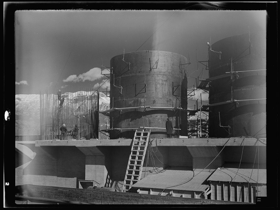
Dutchman MineSilver, Lead, Zinc, GoldProducer1872
Eldorado No 1 and No 2 GroupZinc, Silver, LeadOccurrence
Hannibal ProspectLead, Zinc, SilverOccurrence1935
Hope No. 1Lead, Zinc, SilverOccurrenceVein
Jewel No 9Zinc, Silver, LeadOccurrence
Jewel No. 9Lead, Zinc, SilverOccurrence
Monarch MineZinc, Silver, LeadPast Producer
Mountain View MineSilver, Lead, Zinc, GoldPast Producer
Uncle Sam MineZinc, Silver, LeadPast Producer
Upper Box Elder Canyon ProspectZinc, Silver, LeadOccurrenceReplacement
Balsam Phosphate ProspectPhosphorus-PhosphatesOccurrenceCollophane
Centennial TunnelLead, Silver, Barium-BaritePast Producer1875
Eldorado No. 1 & Eldorado No. 2 GroupSilver, Lead, ZincOccurrence1959
Left Fork Hobble Creek PhosphatePhosphorus-PhosphatesOccurrence
Losee Canyon Clay ProspectsBrick ClayPast ProducerChlorite, Illite, Kaolinite, Pyrophyllite
M WorkingsSilver, Lead, ZincOccurrenceReplacement
MonarchSilver, Lead, ZincPast ProducerReplacement
Powell PitBrick ClayProducerChlorite, Illite, Kaolinite, Pyrophyllite
Sioux MineSilver, Lead, ZincPast Producer1895, 1908, 1935
Southern Wasatch Range #1Phosphorus-PhosphatesProspect
Tickville Gulch Clay PitBrick ClayPast ProducerChlorite, Illite, Kaolinite, Pyrophyllite
Tiptop MineSilver, Lead, ZincPast Producer
Us Ferto CorpPhosphorus-PhosphatesProducer
Wadley PitBrick ClayProducerSurface
White DragonSilver, Lead, ZincProducer
Wiley Canyon Nw Clay PitBrick ClayPast ProducerChlorite, Illite, Kaolinite, Pyrophyllite
Wiley Canyon South Clay PitsBrick ClayPast ProducerChlorite, Illite, Kaolinite, Pyrophyllite
Worth Phosphate MinePhosphorus-PhosphatesPast ProducerCollophane
(Facility) Ironton Smelter DumpStone, Crushed/BrokenPlantSurface
Aqueduct QuarryStone, Crushed/BrokenPast ProducerQuartz
Castilla Springs QuarryStone, Crushed/BrokenPast ProducerSedimentary
Tucker Oil ShaleStone, Crushed/BrokenOccurrence
Unknown Ls MineStone, Crushed/BrokenPast Producer
Wh Prince and SonsStone, Crushed/BrokenProducer
East Tintic DistrictSilver, Lead, Gold, CopperPast Producer1909, 1916
Mountain View MineSilver, Lead, GoldPast Producer
South Standard MineSilver, Lead, GoldPast Producer
American Fork DistrictGoldProspect1870
Cedarstrom Calcite MineCalciumProducer1919
Dream MineGold, SilverProspect
Golden LeafGoldProducer
Little Canyon Upper WorkingsCalcium, ClayOccurrenceCalcite
Long Ridge North PitsCalciumPast ProducerVein
Mahogany Mtn. ProspectCalciumOccurrenceReplacement
MilkmaidSilver, Lead, GoldPast ProducerReplacement
Oldroyd Calcite QuarryCalciumProducerCalcite
Pittsburg MineSilver, Lead, GoldPast Producer1871, 1872, 1910
Pittsburg MineSilver, Lead, GoldPast ProducerReplacement
Potter Canyon PitsCalciumPast ProducerVein
Roger Cedarstrom Calcite MineCalciumProducer
Silver Dipper MineLead, GoldPast Producer
Tintic Bower GroupCalciumOccurrenceAragonite
UnknownCalciumProducer
Wanlass Hill West ProspectsCalciumOccurrenceVein
Green Canyon Middle Adit No. 1CopperOccurrenceMalachite
Homansville ShaftCopper, Lead, SilverOccurrence1925
Hot Stuff ProspectCopperOccurrence1895
Julie Nos 1,2,3,5,8,And 20CopperOccurrence
Julie Nos. 1, 2, 3, 5, 8 and 20CopperOccurrenceVein
Minnie Moore MineSilver, CopperPast Producer
Mount Baldy ProspectsCopperOccurrenceMalachite
Silver Dipper MineLead, Silver, Zinc, CopperPast Producer1872, 1875
Bog Iron MineLead, ZincPast Producer
Buckley MineSilver, Lead, ZincPast Producer1902, 1917
Crown Point MineLead, ZincPast Producer
Floral Lode Claim MineLead, ZincPast Producer
Hobnail MineLead, ZincPast Producer
Mayflower MineLead, ZincPast Producer
Texan ProspectLead, ZincProspect
Utah CentennialLead, ZincPast Producer
Beaver Creek Limestone QuarryLimestone, GeneralPast ProducerLimestone
Burnt Canyon Limestone ProspectLimestone, GeneralOccurrenceCalcite
Cat Hill Ne PitLimestone, GeneralPast ProducerCalcite
Cat Hill North ProspectLimestone, GeneralOccurrenceCalcite
Chief Lime QuarryLimestone, GeneralPast Producer1924, 1925, 1954
Clyde Knoll Limestone PitLimestone, GeneralPast ProducerCalcite
Eroch Ridge ProspectLimestone, GeneralOccurrenceCalcite
Goshen Hill Limestone QuarriesLimestone, GeneralPast ProducerUnderground
Ironton North QuarryLimestone, GeneralPast ProducerSurface
Ironton South QuarryLimestone, GeneralPast ProducerSurface
Little Canyon North ProspectsLimestone, GeneralOccurrenceCalcite
Pelican Point QuarryLimestone, GeneralPast ProducerCalcite
Three Sister Lime Quarry and LilnLimestone, GeneralPast ProducerCalcite
UnknownLimestone, GeneralProducer
West Mountain N. Central ProspectsLimestone, GeneralOccurrenceCalcite
Blue EagleLead, ZincOccurrenceIron
Bog Iron MineLead, ZincPast ProducerGalena, Pyrite, Specularite, Sphalerite, Tetrahedrite
City Canyon MineLead, Zinc, IronPast ProducerGalena, Pyrite, Sphalerite
Drill Holes North of BurginLead, ZincOccurrence1978
Dutchman MineLead, ZincProducerArgentite, Galena, Smithsonite, Sphalerite
East Tintic Consolidated ProspectLead, ZincOccurrence1918
Eldorado Nos. 1 and 2Lead, ZincOccurrenceVein
Floral LodeLead, ZincProducerGalena, Sphalerite, Tetrahedrite
Floral Lode ClaimLead, ZincProducer
Hobnail MineLead, ZincPast ProducerContact Metasomatic
Hope No 1 ProspectSilver, Lead, ZincOccurrence
Left Fork MineLead, Zinc, IronPast ProducerGalena, Pyrite, Sphalerite
Miller MineLead, ZincProducerGalena, Sphalerite
Old Mayflower MineLead, Zinc, IronPast ProducerGalena, Sphalerite
Tickville Gulch ProspectLead, Zinc, IronOccurrenceGalena, Pyrite, Sphalerite
Tintic HumboltLead, ZincOccurrenceVein
Us and Lark MineLead, ZincProducerBornite, Enargite, Galena, Sphalerite
Utah StarterLead, ZincOccurrenceReplacement
Black Diamond ClaimFire Clay (Refractory)Past Producer
Chamberlain Bluebird No 1Fire Clay (Refractory)Past Producer
Chamberlain Bluebird No 2 ClaimFire Clay (Refractory)Past Producer
Chamberlain MineFire Clay (Refractory)Past ProducerHalloysite, Kaolinite, Montmorillonite, Sericite
Chamberlain MineFire Clay (Refractory)Past Producer
Charles Mercer Nickle Claims 1 And2Fire Clay (Refractory)Past Producer
Clinton Clay PitFire Clay (Refractory)ProducerIllite, Kaolinite, Pyrophyllite, Quartz
Clinton DepositFire Clay (Refractory)Producer
Clinton PitFire Clay (Refractory)Producer
Copper Leaf ShaftFire Clay (Refractory)Prospect
Fox Hills DepositFire Clay (Refractory)Producer
Maple ClaimFire Clay (Refractory)Prospect
Mcfarland DepositFire Clay (Refractory)Past Producer
North Standard MineFire Clay (Refractory), Silver, LeadPast Producer1963
North Standard MineFire Clay (Refractory)Producer
Pugh PitFire Clay (Refractory)Past Producer
Steel DepositFire Clay (Refractory)Prospect
Stubbs PitFire Clay (Refractory)Past Producer
Utah Fire Clay Co. MinesFire Clay (Refractory)Producer
Wadley PitFire Clay (Refractory)Producer
East TinticSilverOccurrence
Lehi Tintic MineLead, SilverPast Producer1909, 1949
Mineral Flat Group MineLead, SilverPast Producer
Montana ShaftLead, SilverOccurrence1909, 1918
Non Compromise MineSilver, LeadPast Producer
Pinyon Queen ShaftSilverOccurrence1919
Preston Canyon ProspectSilverOccurrence
Silver Bell MineSilverPast ProducerVein
Silver Bell MineSilverPast Producer
Silver Shield ShaftLead, SilverOccurrence1928, 1931
Smooth Canyon ProspectSilverOccurrence
Tintic Standard MineLead, SilverPast Producer1907, 1918
TreasurerSilver, LeadPast Producer
Union ChiefLead, SilverUnknown
Waterfall ProspectLead, SilverProspect
Whirlwind ProspectLead, SilverProspect
Crown Point ShaftSilver, LeadOccurrence1905
Non CompromiseSilver, LeadPast ProducerVein
OrphanSilver, LeadProducer
Silver Dipper MineSilver, LeadPast ProducerGalena, Pyrite, Sphalerite, Tetrahedrite
Sioux MineSilver, LeadPast Producer
Sunday TunnelSilver, LeadPast Producer1875, 1880
Tintic HumboltSilver, LeadProspect
Ace Manganese ProspectsManganeseOccurrencePsilomelane, Pyrolusite
Field - HaynesManganeseOccurrencePsilomelane, Pyrolusite
FieldsManganeseProspect1940
Helen AditManganese, Clay, Lead, SilverOccurrence1925
Helen AditsManganese, Clay, Lead, SilverOccurrence1925
Mono MineManganeseProducerPsilomelane, Pyrolusite
North Tintic ClaimsManganeseOccurrenceReplacement
North Tintic Claims-Tintic Dist.ManganeseProspect1918
Oxen MineManganesePast ProducerReplacement
Queen of the West ClaimManganeseProspect1917
Silver Hill PropertyManganeseProducer
SpaldingManganeseOccurrenceReplacement
Spalding ClaimsManganeseProspect1946
Steel - CarterManganeseProducerReplacement
Steele Lease of Chief Consolidated Min. Co.ManganeseProducerReplacement
Tintic Utah MineManganesePast Producer
Tintic Utah Mining Co.ManganeseOccurrence
Trotter MineManganesePast ProducerReplacement
UnknownManganese, IronPast Producer
Unknown ProspectsManganese, IronPast ProducerReplacement
Wildcat MineManganesePast Producer1930
Wildcat MineManganesePast Producer
Wildcat MineManganesePast Producer1943
Addie ProspectLead, SilverOccurrence1895
Alpine Galena MineLead, SilverPast ProducerReplacement
Big Hill ShaftLead, SilverOccurrence1895
Bluff ShaftLead, SilverOccurrence1915
Crown Point Prospect No. 2Lead, SilverOccurrence1905
Crown Point Prospect Number 3Lead, SilverOccurrence1905
Galena TunnelLead, SilverOccurrenceVein
Horse Shoe AditLead, SilverOccurrence1895
Left Fork West Canyon ProspectLead, Silver, IronOccurrenceArgentite, Galena, Limonite, Pyrite, Silver
Lehi Tintic MineLead, SilverPast Producer
Maple ShaftLead, SilverOccurrence1899
NebraskaLead, SilverPast Producer
Red CloudLead, SilverProducer
South Standard ProspectLead, SilverOccurrence1895
Treasure Consolidated GroupLead, SilverPast Producer1875
Unidentified OccurrenceLead, SilverOccurrence1950
Union Chief MineLead, SilverPast Producer1899, 1916
Wasatch KingLead, SilverPast Producer
Water Fall MineLead, SilverOccurrenceVein
WhirlwindLead, SilverPast ProducerVein
Allens Ranch Prospect No. 2IronOccurrenceReplacement
Big Dane No. 1IronOccurrenceVein
Bismark Peak South ProspectsIronOccurrenceSurface/Underground
Bismark Peak Sw ProspectsIronOccurrence
Black Point Nw ProspectIronOccurrenceVein
Chimney Rock Pass ProspectsIronOccurrenceReplacement
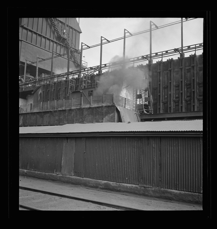
Diamond ForkIronOccurrenceGoethite, Limonite
Diamond Fork Iron ProspectIronOccurrenceReplacement
Diamond Fork ProspectIronOccurrence
Dry Hollow ProspectsIronOccurrenceHematite
Genola ShaftIronOccurrenceVein
Iron Hill Central AditIronOccurrenceVein
Long Ridge Se ProspectIronOccurrenceReplacement
Maple Dell Ne WorkingsIronOccurrenceUnderground
Mary E. Whitely ProspectsIronOccurrenceSurface/Underground
Norman Tintic GroupIronOccurrenceSurface/Underground
Pfeiffer Canyon Middle ProspectsIronOccurrenceVein
Spring Lake AditIronOccurrenceLimonite
Stroud ProspectIronOccurrenceVein
Sw Maple Dell WorkingsIronOccurrenceUnknown
Unknown MineIronPast ProducerReplacement
Unknown MineIronPast Producer
Wanlass Hill Se ProspectIronOccurrenceLimonite
West Mountain Ne ProspectIronOccurrenceSurface
West Mountain Nw ProspectIronOccurrenceVein
Wildcat Canyon North ProspectsIronOccurrenceReplacement
Albert ClaimsLeadOccurrence1925
Alpine Galena MineLeadPast Producer
Blue EagleLeadPast ProducerReplacement
BorussiaLeadOccurrenceGalena
Central Standard ShaftLeadProspect
Chief Consolidated Drill HoleLeadOccurrence
Chief-Apex Standard ProspectsLeadOccurrenceUnderground
Copper Leaf ShaftLeadOccurrenceUnderground
Crown Point ProspectLeadOccurrenceUnderground
DelsaLeadProducer
Earl-Eagle TunnelLeadPast Producer
East Crown Point ProspectLeadOccurrence1920
East Standard ProspectLeadOccurrence1916
Elsie JaneLeadProducer
Eureka Comstock ProspectsLeadOccurrence1895
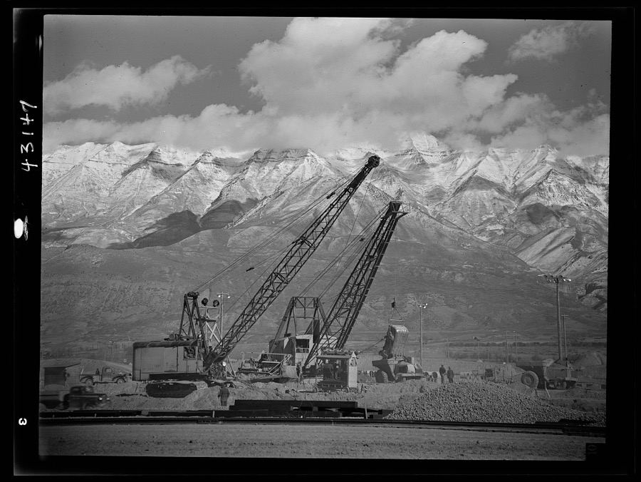
Galena TunnelLeadOccurrenceVein
Galena TunnelLeadOccurrence
Inez Shafts ProspectLeadOccurrenceUnderground
Lucky ChanceLeadPast ProducerGalena, Pyrite
M.E. Whitely ShaftLeadOccurrence1950
Ontario MineLeadPast ProducerGalena
ProspectLeadOccurrence1965
Prospects North of BurginLeadOccurrenceUnderground
Provo ShaftLeadPast Producer1909, 1910
Robert Number 16 ClaimLeadOccurrence1945
Salvador ProspectLeadOccurrence1875
Selma ProspectLeadProspect
Silver DollarLeadProducer
Squaw PeakLeadProducer
Syndicate AditLeadOccurrenceGalena
Tintic Davis ShaftLeadOccurrence1915
Tintic Drain TunnelLeadOccurrence1917
Tintic Drain Tunnel RaiseLeadOccurrence1923
Tintic Utah ProspectsLeadOccurrence1918
Twentieth Century ProspectLeadOccurrence1918
Unidentified OccurrenceLeadOccurrence1935
Unidentified OccurrenceLeadOccurrenceUnderground
Utah and Sioux MineLeadOccurrence
Utah and Sioux MineLeadPast Producer
Water Lily ShaftLeadOccurrence1920
Zenith ShaftLeadOccurrenceUnderground
Allred Clay PitClayPast ProducerKaolinite, Pyrophyllite
Allred Clay PitClayPast Producer
Black DiamondClayProspectSedimentary
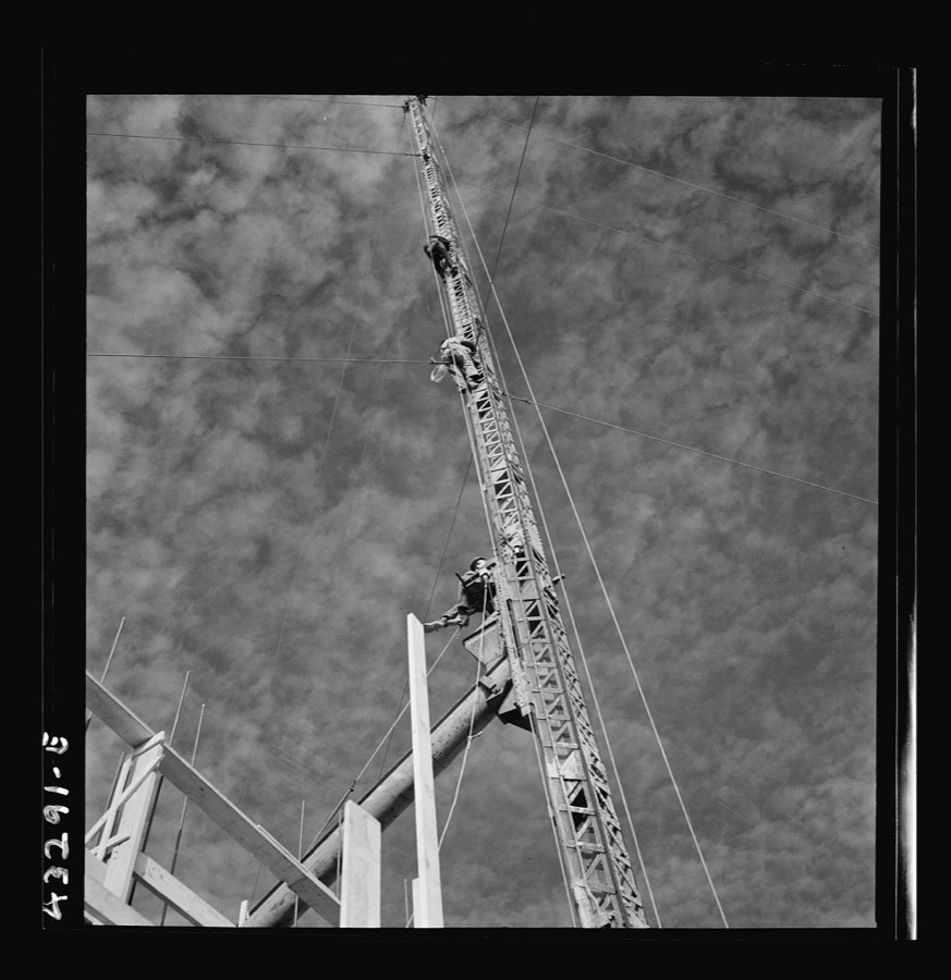
Black Diamond PitClayPast ProducerHalloysite, Montmorillonite, Sericite
Burriston ClaimClayOccurrenceContact Metasomatic
Burriston ClaimClayPast Producer
Cedarstrom ClaimsClayProducer
Cedarstrom Clay PitClayProducerChlorite, Illite, Kaolinite, Pyrophyllite
Cedarstrom PitClayProducer
Chamberlain Bluebird No.1 PitClayPast ProducerHalloysite, Sericite
Chamberlain Blueburd No. 2 PitClayPast ProducerHalloysite, Sericite
Charles Mercer Nickel Pits 1 and 2ClayPast ProducerHalloysite, Sericite
Chiulos Canyon Shale LocalityClayOccurrence
Clay Canyon Central Clay PitClayPast ProducerKaolinite, Sericite
Clay Canyon MineClayPast ProducerHalloysite, Sericite
Clay Canyon Northern Clay MineClayPast ProducerHalloysite, Kaolinite, Sericite
Clay Canyon Northwestern Clay PitClayPast ProducerSericite, Variscite
Clay PitClayPast Producer
Don Chamberlain ClayClayProspectSedimentary
Dutchman #2 Clay PitClayOccurrence
Dutchman No Two Clay PitClayProducer
Ellis Clay PitClayPast ProducerSurface
Ellis Mcfarland and Smith PitsClayProducer
Ellis, Mcfarland & Smith PitsClayOccurrence
Fawn Clay PitsClayProducer
Fivemile Pass No. 1 GroupClayPast ProducerUnderground
Fivemile Pass No. 2 GroupClayPast Producer
Fox ClayClayProducer
Fox Hills Clay PitClayProducer1889
Grey Eagle Clay PitClayPast ProducerChlorite, Illite, Kaolin, Pyrophyllite
Hodson Clay ClaimClayOccurrenceClay
Interstate Pit Nos 1 and 2ClayPast Producer
Iron Hill North West PitClayPast ProducerChlorite, Illite, Kaolinite, Pyrophyllite
Iron Hill PitsClayPast ProducerChlorite, Illite, Kaolinite, Pyrophyllite
Iron Hill South West ProspectClayOccurrenceChlorite, Illite, Kaolinite, Pyrophyllite
Iron Hill West Central ProspectClayOccurrenceChlorite, Illite, Kaolinite, Pyrophyllite
Ivans Canyon PitsClayPast ProducerChlorite, Illite, Kaolinite, Pyrophyllite
Jack Rabbit ClaimsClayProducer
Jack Rabbit PitClayProducerChlorite, Illite, Kaolinite, Pyrophyllite
Little Canyon PitClayPast ProducerChlorite, Illite, Kaolinite, Pyrophyllite
Long Canyon South Clay PitClayPast ProducerSurface
Manning ProspectClayOccurrenceHalloysite, Sericite
Mcfarland Clay PitClayPast ProducerSurface
Mercer Canyon PitClayPast ProducerChlorite, Illite, Kaolinite, Pyrophyllite
Nickel ClaimsClayOccurrenceSedimentary
North Thorpe Hills MineClayPast ProducerSurface/Underground
Overcross PitClayProducerChlorite, Illite, Kaolinite, Pyrophyllite
Pole Canyon Clay DepositClayOccurrenceSurface
Pole Canyon Clay DepositClayPast Producer
Pole Canyon ProspectClayOccurrenceMontmorillonite, Sericite
Powell Pit MineClayProducer
Provo Brick & Tile Co.ClayProducer
PughClayOccurrenceSedimentary
Pugh PitClayPast ProducerHalloysite, Sericite
Seep Canyon PitClayProducerChlorite, Illite, Kaolinite, Pyrophyllite
Shuler MineClayPast Producer
Shuler ProspectClayOccurrenceSurface
Shuler SpringClayPast Producer
Shuler Spring Clay DepositClayOccurrenceUnconsolidated Sediments
Smith Clay DepositClayOccurrence
Soldiers Pass East PitClayPast ProducerChlorite, Illite, Kaolinite, Pyrophyllite
Soldiers Pass South ProspectsClayOccurrence
Stubb's PitClayOccurrence
Stubbs Clay PitClayPast ProducerSurface
Unknown MineClayPast ProducerHalloysite, Sericite
Unknown ProspectClayOccurrenceSericite, Variscite
Unknown ProspectClayOccurrenceHalloysite, Sericite
Wadley DepositClayProducer
Wells Canyon Central Clay ProspectClayOccurrenceSericite
Wells Canyon Clay ProspectClayOccurrenceHalloysite, Kaolinite, Montmorillonite, Sericite
Wells Canyon Nnw Clay ProspectClayOccurrenceHalloysite
Wells Canyon Nw ProspectClayOccurrenceHalloysite, Sericite
Wells Canyon Se ProspectClayOccurrenceMontmorillonite, Sericite
White Canyon North PitsClayOccurrenceSurface
White Knoll West PitClayOccurrenceSurface
A J Concrete Inc Pits No 1 and 2Sand and Gravel, ConstructionUnknown
Allens Ranch Gravel PitSand and Gravel, ConstructionProducerUnconsolidated Sediments
Alvie's Concrete IncSand and Gravel, ConstructionProducer
Alvie's Gravel PitSand and Gravel, ConstructionProducer
American Fork Gravel PitSand and Gravel, ConstructionPast ProducerUnconsolidated Sediments
Black Hollow Gravel PitSand and Gravel, ConstructionPast ProducerUnconsolidated Sediments
Borrow PitSand and Gravel, ConstructionPast ProducerUnconsolidated Sediments
Cedar Hollow Gravel PitsSand and Gravel, ConstructionPast ProducerClay, Gravel, Sand
Chimney Rock Pass Se ProspectsSand and Gravel, ConstructionOccurrenceUnconsolidated Sediments
Christen Gravel PitSand and Gravel, ConstructionPast ProducerUnconsolidated Sediments
Currant Creek Gravel Pit No. 1Sand and Gravel, ConstructionPast ProducerUnconsolidated Sediments
Currant Creek Gravel Pit No. 2Sand and Gravel, ConstructionProducerUnconsolidated Sediments
Gravel PitSand and Gravel, ConstructionPast ProducerUnconsolidated Sediments
Gravel PitSand and Gravel, ConstructionProducerUnconsolidated Sediments
Gravel PitSand and Gravel, ConstructionPast ProducerUnconsolidated Sediments
Gravel PitSand and Gravel, ConstructionPast ProducerClay, Limestone, Quartzite, Sand, Sandstone
Gravel PitSand and Gravel, ConstructionPast ProducerUnconsolidated Sediments
Gravel PitSand and Gravel, ConstructionPast ProducerClay, Quartzite, Sand, Sandstone
Gravel PitSand and Gravel, ConstructionPast ProducerUnconsolidated Sediments
Gravel PitSand and Gravel, ConstructionProducerGravel
Gravel PitSand and Gravel, ConstructionPast ProducerUnconsolidated Sediments
Gravel PitSand and Gravel, ConstructionPast ProducerAndesite, Chert, Quartzite, Sand, Sandstone
Gravel PitSand and Gravel, ConstructionPast ProducerUnconsolidated Sediments
Gravel Pit In Twn 55 Rng 1e Sec 13Sand and Gravel, ConstructionProducer
Gravel PitsSand and Gravel, ConstructionProducerUnconsolidated Sediments
Gravel Pits and ProspectsSand and Gravel, ConstructionOccurrenceSurface
Hurst PitsSand and Gravel, ConstructionProducer
Intermountain Sand PitSand and Gravel, ConstructionProducer
International Sand and Gravel PitSand and Gravel, ConstructionPast ProducerUnconsolidated Sediments
Johnson Gravel PitSand and Gravel, ConstructionOccurrence
Johnson Gravel PitSand and Gravel, ConstructionPast ProducerShale
Johnson Gravel PitSand and Gravel, ConstructionProducer
Jordan Narrows Gravel Pit No. 1Sand and Gravel, ConstructionPast ProducerUnconsolidated Sediments
Keighley QuarrySand and Gravel, ConstructionProducer
Lee Gravel PitsSand and Gravel, ConstructionProducer
LehiSand and Gravel, ConstructionOccurrence
Lehi Gravel PitSand and Gravel, ConstructionProducerUnconsolidated Sediments
Lehi Gravel PitSand and Gravel, ConstructionProducer
Lehi North Gravel PitSand and Gravel, ConstructionPast ProducerUnconsolidated Sediments
Lincoln Point Gravel DepositSand and Gravel, ConstructionOccurrenceUnconsolidated Sediments
Little Canyon Central Gravel PitSand and Gravel, ConstructionPast ProducerUnconsolidated Sediments
Little Valley Gravel PitSand and Gravel, ConstructionPast ProducerUnconsolidated Sediments
Long Canyon Gravel PitSand and Gravel, ConstructionProducerUnconsolidated Sediments
Long Ridge Sw Gravel PitSand and Gravel, ConstructionPast ProducerUnconsolidated Sediments
Mapleton Ne Gravel PitSand and Gravel, ConstructionProducerUnconsolidated Sediments
Mapleton Siding Gravel PitSand and Gravel, ConstructionPast ProducerUnconsolidated Sediments
Mitchells Hollow Gravel PitSand and Gravel, ConstructionPast ProducerClay
Moark Junction Gravel PitSand and Gravel, ConstructionPast ProducerUnconsolidated Sediments
Nebo Loop Gravel PitSand and Gravel, ConstructionProducerGravel
Owen Dean & SonsSand and Gravel, ConstructionOccurrence
Owen Dean & Sons Gravel PitSand and Gravel, ConstructionPast ProducerUnconsolidated Sediments
Owen Dean and Sons Gravel PitSand and Gravel, ConstructionProducer
Pelican Point Gravel PitSand and Gravel, ConstructionPast Producer
Ready Mix and Assoc PitSand and Gravel, ConstructionProducer
River Jordan Gravel PitsSand and Gravel, ConstructionPast ProducerUnconsolidated Sediments
Rocky Ridge East Gravel PitSand and Gravel, ConstructionPast ProducerUnconsolidated Sediments
Salem PitSand and Gravel, ConstructionPast ProducerSandstone
Salem PitSand and Gravel, ConstructionProducer
Salt Lake Valley Sand and GravelSand and Gravel, ConstructionProducer
Salt Lake Valley Sand and Gravel PitSand and Gravel, ConstructionPast ProducerUnconsolidated Sediments
Santaquin Ne Prospect No. 1Sand and Gravel, ConstructionPast ProducerUnconsolidated Sediments
Savage Brothers PitSand and Gravel, ConstructionProducer
Shuler East Gravel PitSand and Gravel, ConstructionProducerUnconsolidated Sediments
Shuler West Gravel PitSand and Gravel, ConstructionProducerUnconsolidated Sediments
Siphon Gravel PitSand and Gravel, ConstructionPast ProducerUnconsolidated Sediments
Tenmile Pass Gravel PitSand and Gravel, ConstructionPast ProducerSurface
Thorn Rock ProductsSand and Gravel, ConstructionProducer
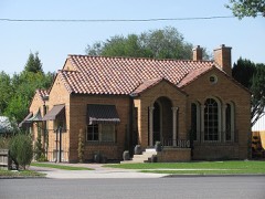
Tingey's Gravel PitSand and Gravel, ConstructionProducer1973
Toad Head West ProspectsSand and Gravel, ConstructionPast ProducerUnconsolidated Sediments
Udoh Pit No. 25055Sand and Gravel, ConstructionPast ProducerQuartzite, Sand
Uh. Dept of Hwys. No. 25089 Gravel PitSand and Gravel, ConstructionPast ProducerUnconsolidated Sediments
Ut Dep of Hwys No 25014Sand and Gravel, ConstructionProducer
Ut Dep of Hwys No 25018Sand and Gravel, ConstructionProducer
Ut Dep of Hwys No 25036Sand and Gravel, ConstructionProducer
Ut Dep of Hwys No 25037Sand and Gravel, ConstructionProducer
Ut Dep of Hwys No 25041Sand and Gravel, ConstructionProducer
Ut Dep of Hwys No 25042Sand and Gravel, ConstructionProducer
Ut Dep of Hwys No 25043Sand and Gravel, ConstructionUnknown
Ut Dep of Hwys No 25045Sand and Gravel, ConstructionProducer
Ut Dep of Hwys No 25049Sand and Gravel, ConstructionProducer
Ut Dep of Hwys No 25050Sand and Gravel, ConstructionProducer
Ut Dep of Hwys No 25053Sand and Gravel, ConstructionProducer
Ut Dep of Hwys No 25055Sand and Gravel, ConstructionProducer
Ut Dep of Hwys No 25056Sand and Gravel, ConstructionProducer
Ut Dep of Hwys No 25059Sand and Gravel, ConstructionProducer
Ut Dep of Hwys No 25060Sand and Gravel, ConstructionProducer
Ut Dep of Hwys No 25072Sand and Gravel, ConstructionProducer
Ut Dep of Hwys No 25086Sand and Gravel, ConstructionProducer
Ut Dep of Hwys No 25089Sand and Gravel, ConstructionProducer
Ut Dep of Hwys No 25091Sand and Gravel, ConstructionProducer
Ut Dep of Hwys No 25101Sand and Gravel, ConstructionProducer
Ut Dept of Huys Pit #25069Sand and Gravel, ConstructionPast Producer
Ut Dept of Hways No 25094Sand and Gravel, ConstructionProducer
Ut Dept of Hwys Gravel Pit No. 25086Sand and Gravel, ConstructionPast ProducerAndesite, Limestone, Quartzite
Ut Dept of Hwys No 25001Sand and Gravel, ConstructionProducer
Ut Dept of Hwys No 25003Sand and Gravel, ConstructionProducer
Ut Dept of Hwys No 25005Sand and Gravel, ConstructionProducer
Ut Dept of Hwys No 25006Sand and Gravel, ConstructionProducer
Ut Dept of Hwys No 25008Sand and Gravel, ConstructionProducer
Ut Dept of Hwys No 25009Sand and Gravel, ConstructionProducer
Ut Dept of Hwys No 25010Sand and Gravel, ConstructionProducer
Ut Dept of Hwys No 25011Sand and Gravel, ConstructionProducer
Ut Dept of Hwys No 25012Sand and Gravel, ConstructionProducer
Ut Dept of Hwys No 25013Sand and Gravel, ConstructionProducer
Ut Dept of Hwys No 25016Sand and Gravel, ConstructionProducer
Ut Dept of Hwys No 25017Sand and Gravel, ConstructionProducer
Ut Dept of Hwys No 25019Sand and Gravel, ConstructionProducer
Ut Dept of Hwys No 25020Sand and Gravel, ConstructionProducer
Ut Dept of Hwys No 25021Sand and Gravel, ConstructionProducer
Ut Dept of Hwys No 25022Sand and Gravel, ConstructionProducer
Ut Dept of Hwys No 25023Sand and Gravel, ConstructionProducer
Ut Dept of Hwys No 25024Sand and Gravel, ConstructionProducer
Ut Dept of Hwys No 25025Sand and Gravel, ConstructionProducer
Ut Dept of Hwys No 25026Sand and Gravel, ConstructionProducer
Ut Dept of Hwys No 25027Sand and Gravel, ConstructionProducer
Ut Dept of Hwys No 25028Sand and Gravel, ConstructionProducer
Ut Dept of Hwys No 25029Sand and Gravel, ConstructionProducer
Ut Dept of Hwys No 25030Sand and Gravel, ConstructionProducer
Ut Dept of Hwys No 25031Sand and Gravel, ConstructionProducer
Ut Dept of Hwys No 25032Sand and Gravel, ConstructionProducer
Ut Dept of Hwys No 25033Sand and Gravel, ConstructionProducer
Ut Dept of Hwys No 25038Sand and Gravel, ConstructionProducer
Ut Dept of Hwys No 25039Sand and Gravel, ConstructionProducer
Ut Dept of Hwys No 25040Sand and Gravel, ConstructionProducer
Ut Dept of Hwys No 25044Sand and Gravel, ConstructionProducer
Ut Dept of Hwys No 25046Sand and Gravel, ConstructionProducer
Ut Dept of Hwys No 25047Sand and Gravel, ConstructionProducer
Ut Dept of Hwys No 25051Sand and Gravel, ConstructionProducer
Ut Dept of Hwys No 25052Sand and Gravel, ConstructionProducer
Ut Dept of Hwys No 25054Sand and Gravel, ConstructionProducer
Ut Dept of Hwys No 25057Sand and Gravel, ConstructionProducer
Ut Dept of Hwys No 25058Sand and Gravel, ConstructionPast Producer
Ut Dept of Hwys No 25075Sand and Gravel, ConstructionProducer
Ut Dept of Hwys No 25076Sand and Gravel, ConstructionProducer
Ut Dept of Hwys No 25077Sand and Gravel, ConstructionProducer
Ut Dept of Hwys No 25078Sand and Gravel, ConstructionProducer
Ut Dept of Hwys No 25079Sand and Gravel, ConstructionProducer
Ut Dept of Hwys No 25080Sand and Gravel, ConstructionProducer
Ut Dept of Hwys No 25081Sand and Gravel, ConstructionProducer
Ut Dept of Hwys No 25082Sand and Gravel, ConstructionProducer
Ut Dept of Hwys No 25087Sand and Gravel, ConstructionProducer
Ut Dept of Hwys No 25088Sand and Gravel, ConstructionProducer
Ut Dept of Hwys No 25092Sand and Gravel, ConstructionProducer
Ut Dept of Hwys No 25093Sand and Gravel, ConstructionProducer
Ut Dept of Hwys No 25095Sand and Gravel, ConstructionProducer
Ut Dept of Hwys No 25096Sand and Gravel, ConstructionProducer
Ut Dept of Hwys No 25097Sand and Gravel, ConstructionProducer
Ut Dept of Hwys No 25107Sand and Gravel, ConstructionProducer
Ut Dept of Hwys No 25109Sand and Gravel, ConstructionProducer
Ut Dept of Hwys No 25110Sand and Gravel, ConstructionProducer
Ut Dept of Hwys No 25111Sand and Gravel, ConstructionProducer
Ut Dept of Hwys Pit # 25061Sand and Gravel, ConstructionUnknown
Ut Dept of Hwys Pit # 25071Sand and Gravel, ConstructionPast Producer
Ut Dept of Hwys Pit #25062Sand and Gravel, ConstructionPast Producer
Ut Dept of Hwys Pit #25063Sand and Gravel, ConstructionUnknown
Ut Dept of Hwys Pit #25064Sand and Gravel, ConstructionPast Producer
Ut Dept of Hwys Pit #25065Sand and Gravel, ConstructionPast Producer
Ut Dept of Hwys Pit #25066Sand and Gravel, ConstructionPast Producer
Ut Dept of Hwys Pit #25067Sand and Gravel, ConstructionPast Producer
Ut Dept of Hwys Pit #25070Sand and Gravel, ConstructionPast Producer
Ut Dept of Hwys Pit #25074Sand and Gravel, ConstructionPast Producer
Ut Dept of Hwys Pit No 25068Sand and Gravel, ConstructionPast Producer
Ut Dept of Hwys Pit No 25073Sand and Gravel, ConstructionPast ProducerSurface
Ut Dept of Hwys Pit No 25073Sand and Gravel, ConstructionPast Producer
Ut Dept of Hwys. No. 25085 Gravel PitSand and Gravel, ConstructionPast ProducerLimestone, Quartzite
Ut Dept. of Hwys No. 25017Sand and Gravel, ConstructionPast ProducerUnconsolidated Sediments
Ut Dept. of Hwys Pit No 25016Sand and Gravel, ConstructionPast ProducerUnconsolidated Sediments
Ut Dept. of Hwys Pit No. 25060Sand and Gravel, ConstructionPast ProducerLimestone, Sand
Ut Dept. of Hwys. Gravel Pit No. 25094Sand and Gravel, ConstructionPast ProducerUnconsolidated Sediments
Ut Dept. of Hwys. Pit No. 25065Sand and Gravel, ConstructionPast ProducerSurface
Ut. Dept of Hwys Gravel Pit 25061Sand and Gravel, ConstructionPast ProducerClay, Gravel, Sand
Ut. Dept of Hwys Gravel Pit No. 25002Sand and Gravel, ConstructionPast ProducerLimestone, Quartz, Quartzite
Ut. Dept of Hwys Gravel Pit No. 25019Sand and Gravel, ConstructionPast ProducerClay, Limestone, Quartzite
Ut. Dept of Hwys No. 25059Sand and Gravel, ConstructionPast ProducerUnconsolidated Sediments
Ut. Dept of Hwys, Gravel Pit 25090Sand and Gravel, ConstructionPast ProducerSurface
Ut. Dept of Hwys. No. 25036Sand and Gravel, ConstructionPast ProducerClay, Limestone, Quartzite, Shale
Ut. Dept of Hwys. No. 25054Sand and Gravel, ConstructionPast ProducerUnconsolidated Sediments
Ut. Dept of Hwys. Pit No. 25008Sand and Gravel, ConstructionPast ProducerUnconsolidated Sediments
Ut. Dept of Hwys. Pit No. 25051Sand and Gravel, ConstructionPast ProducerUnconsolidated Sediments
Ut. Dept. Hwys. Gravel Pit No. 25037Sand and Gravel, ConstructionPast ProducerUnconsolidated Sediments
Ut. Dept. of Hwys Gravel Pit No. 25082Sand and Gravel, ConstructionPast ProducerUnconsolidated Sediments
Ut. Dept. of Hwys Gravel Pit No. 25091Sand and Gravel, ConstructionPast ProducerClay, Conglomerate, Quartzite, Sand, Sandstone
Ut. Dept. of Hwys No 25050Sand and Gravel, ConstructionPast ProducerUnconsolidated Sediments
Ut. Dept. of Hwys Pit No. 25006Sand and Gravel, ConstructionPast ProducerUnconsolidated Sediments
Ut. Dept. of Hwys Pit No. 25013Sand and Gravel, ConstructionPast ProducerUnconsolidated Sediments
Ut. Dept. of Hwys Pit No. 25022Sand and Gravel, ConstructionPast ProducerUnconsolidated Sediments
Ut. Dept. of Hwys. Gravel Pit 25041Sand and Gravel, ConstructionPast ProducerUnconsolidated Sediments
Ut. Dept. of Hwys. Gravel Pit No. 25 107Sand and Gravel, ConstructionPast ProducerUnconsolidated Sediments
Ut. Dept. of Hwys. Gravel Pit No. 25001Sand and Gravel, ConstructionPast ProducerUnconsolidated Sediments
Ut. Dept. of Hwys. Gravel Pit No. 25018Sand and Gravel, ConstructionPast ProducerUnconsolidated Sediments
Ut. Dept. of Hwys. Gravel Pit No. 25030Sand and Gravel, ConstructionPast ProducerUnconsolidated Sediments
Ut. Dept. of Hwys. Gravel Pit No. 25031Sand and Gravel, ConstructionPast ProducerUnconsolidated Sediments
Ut. Dept. of Hwys. Gravel Pit No. 25034Sand and Gravel, ConstructionPast ProducerUnconsolidated Sediments
Ut. Dept. of Hwys. Gravel Pit No. 25038Sand and Gravel, ConstructionPast ProducerUnconsolidated Sediments
Ut. Dept. of Hwys. Gravel Pit No. 25084Sand and Gravel, ConstructionPast ProducerUnconsolidated Sediments
Ut. Dept. of Hwys. Gravel Pit No. 25093Sand and Gravel, ConstructionPast ProducerUnconsolidated Sediments
Ut. Dept. of Hwys. Gravel Pit No. 25095Sand and Gravel, ConstructionPast ProducerUnconsolidated Sediments
Ut. Dept. of Hwys. Gravel Pit No. 25097Sand and Gravel, ConstructionPast ProducerUnconsolidated Sediments
Ut. Dept. of Hwys. Gravel Pit. No. 25029Sand and Gravel, ConstructionPast ProducerUnconsolidated Sediments
Ut. Dept. of Hwys. Gravel Pit. No. 25092Sand and Gravel, ConstructionPast ProducerUnconsolidated Sediments
Ut. Dept. of Hwys. Gravel Pits Nos. 25047 and 25046Sand and Gravel, ConstructionOccurrence
Ut. Dept. of Hwys. No 25049Sand and Gravel, ConstructionPast ProducerUnconsolidated Sediments
Ut. Dept. of Hwys. No 25056Sand and Gravel, ConstructionPast ProducerUnconsolidated Sediments
Ut. Dept. of Hwys. No. 25044Sand and Gravel, ConstructionPast ProducerUnconsolidated Sediments
Ut. Dept. of Hwys. No. 25045Sand and Gravel, ConstructionPast ProducerUnconsolidated Sediments
Ut. Dept. of Hwys. No. 25053Sand and Gravel, ConstructionProducerUnconsolidated Sediments
Ut. Dept. of Hwys. No. 25058Sand and Gravel, ConstructionPast ProducerUnconsolidated Sediments
Ut. Dept. of Hwys. No. 25072Sand and Gravel, ConstructionPast ProducerUnconsolidated Sediments
Ut. Dept. of Hwys. No. 25079Sand and Gravel, ConstructionPast ProducerAndesite, Clay, Gravel, Latite, Rhyolite, Sand
Ut. Dept. of Hwys. No. 25080Sand and Gravel, ConstructionPast ProducerClay, Gravel, Sand
Ut. Dept. of Hwys. No. 25088 Gravel PitSand and Gravel, ConstructionPast ProducerAndesite, Conglomerate, Limestone, Quartzite
Ut. Dept. of Hwys. Pit No. 25003Sand and Gravel, ConstructionPast ProducerSurface
Ut. Dept. of Hwys. Pit No. 25009Sand and Gravel, ConstructionPast ProducerUnconsolidated Sediments
Ut. Dept. of Hwys. Pit No. 25011Sand and Gravel, ConstructionPast ProducerUnconsolidated Sediments
Ut. Dept. of Hwys. Pit No. 25012Sand and Gravel, ConstructionPast ProducerUnconsolidated Sediments
Ut. Dept. of Hwys. Pit No. 25014Sand and Gravel, ConstructionPast ProducerUnconsolidated Sediments
Ut. Dept. of Hwys. Pit No. 25021Sand and Gravel, ConstructionPast ProducerUnconsolidated Sediments
Ut. Dept. of Hwys. Pit No. 25040Sand and Gravel, ConstructionPast ProducerUnconsolidated Sediments
Ut. Dept. of Hyws Pit No. 25025Sand and Gravel, ConstructionPast ProducerUnconsolidated Sediments
Ut. State Dept. Hwys. Gravel Put No. 25096Sand and Gravel, ConstructionPast ProducerUnconsolidated Sediments
Utah Dept of Highways Pit #25103Sand and Gravel, ConstructionProducer
Utah Dept of Highways Pit #25104Sand and Gravel, ConstructionProducer
Utah Dept of Highways Pit No. 25052Sand and Gravel, ConstructionProducerUnconsolidated Sediments
Utah Dept of Hwys No 25002Sand and Gravel, ConstructionProducer
Utah Dept of Hwys No 25100Sand and Gravel, ConstructionProducer
Utah Dept. of Highway No. 25075Sand and Gravel, ConstructionPast ProducerAndesite, Chert, Clay, Limestone, Quartzite, Sand
Utah Dept. of Highways Pit 25104Sand and Gravel, ConstructionPast ProducerUnconsolidated Sediments
Utah Dept. of Highways Pit No. 25026Sand and Gravel, ConstructionPast ProducerUnconsolidated Sediments
Utah Dept. of Highways Pit No. 25111Sand and Gravel, ConstructionPast ProducerUnconsolidated Sediments
Utah Dept. of Highways Pit. 25103Sand and Gravel, ConstructionPast ProducerUnconsolidated Sediments
Utah Dept. of Hwys Pit No. 25068Sand and Gravel, ConstructionPast ProducerQuartzite
Utah Dept. of Hwys. Gravel Pit No. 25033Sand and Gravel, ConstructionPast ProducerUnconsolidated Sediments
Valley Asphalt Leland PitSand and Gravel, ConstructionProducer
Warburton Sand and GravelSand and Gravel, ConstructionProducerUnconsolidated Sediments
Warburton Sand and GravelSand and Gravel, ConstructionProducer
Warm Springs Mountain No. 2 Gravel PitSand and Gravel, ConstructionPast ProducerClay, Limestone, Quartzite
Warm Springs Mtn. Nw Gravel PitSand and Gravel, ConstructionPast ProducerUnconsolidated Sediments
Wiley Canyon Nw Gravel PitSand and Gravel, ConstructionPast ProducerQuartzite
Wiley Canyon West Gravel PitSand and Gravel, ConstructionPast ProducerCalcite, Quartz

Town by town, in the county's histories

31,827 words

The part of each published history that is about one town: 13 chapters, each reproduced complete.

TownChapter FromLength
American ForkUtah County: a Graphic Account of Its Foundings, Its Wonderful GrowthUtah County: a Graphic Account of Its Foundings, Its Wonderful Growth and Its Splendid Promise for the Future : Also a Descriptive Review of Its Resources, Attractions, Industries, Leading Business Houses and Institutions, with Portraits and Biographical Sketches of Its Pioneers and Early Settlers (1897)2,532 words
BenjaminUtah County: a Graphic Account of Its Foundings, Its Wonderful GrowthUtah County: a Graphic Account of Its Foundings, Its Wonderful Growth and Its Splendid Promise for the Future : Also a Descriptive Review of Its Resources, Attractions, Industries, Leading Business Houses and Institutions, with Portraits and Biographical Sketches of Its Pioneers and Early Settlers (1897)604 words
Cedar FortUtah County: a Graphic Account of Its Foundings, Its Wonderful GrowthUtah County: a Graphic Account of Its Foundings, Its Wonderful Growth and Its Splendid Promise for the Future : Also a Descriptive Review of Its Resources, Attractions, Industries, Leading Business Houses and Institutions, with Portraits and Biographical Sketches of Its Pioneers and Early Settlers (1897)1,397 words
GoshenUtah County: a Graphic Account of Its Foundings, Its Wonderful GrowthUtah County: a Graphic Account of Its Foundings, Its Wonderful Growth and Its Splendid Promise for the Future : Also a Descriptive Review of Its Resources, Attractions, Industries, Leading Business Houses and Institutions, with Portraits and Biographical Sketches of Its Pioneers and Early Settlers (1897)4,211 words
LehiUtah County: a Graphic Account of Its Foundings, Its Wonderful GrowthUtah County: a Graphic Account of Its Foundings, Its Wonderful Growth and Its Splendid Promise for the Future : Also a Descriptive Review of Its Resources, Attractions, Industries, Leading Business Houses and Institutions, with Portraits and Biographical Sketches of Its Pioneers and Early Settlers (1897)3,766 words
PaysonUtah County: a Graphic Account of Its Foundings, Its Wonderful GrowthUtah County: a Graphic Account of Its Foundings, Its Wonderful Growth and Its Splendid Promise for the Future : Also a Descriptive Review of Its Resources, Attractions, Industries, Leading Business Houses and Institutions, with Portraits and Biographical Sketches of Its Pioneers and Early Settlers (1897)2,824 words
Pleasant GroveUtah County: a Graphic Account of Its Foundings, Its Wonderful GrowthUtah County: a Graphic Account of Its Foundings, Its Wonderful Growth and Its Splendid Promise for the Future : Also a Descriptive Review of Its Resources, Attractions, Industries, Leading Business Houses and Institutions, with Portraits and Biographical Sketches of Its Pioneers and Early Settlers (1897)2,084 words
ProvoUtah County: a Graphic Account of Its Foundings, Its Wonderful GrowthUtah County: a Graphic Account of Its Foundings, Its Wonderful Growth and Its Splendid Promise for the Future : Also a Descriptive Review of Its Resources, Attractions, Industries, Leading Business Houses and Institutions, with Portraits and Biographical Sketches of Its Pioneers and Early Settlers (1897)4,846 words
SalemUtah County: a Graphic Account of Its Foundings, Its Wonderful GrowthUtah County: a Graphic Account of Its Foundings, Its Wonderful Growth and Its Splendid Promise for the Future : Also a Descriptive Review of Its Resources, Attractions, Industries, Leading Business Houses and Institutions, with Portraits and Biographical Sketches of Its Pioneers and Early Settlers (1897)1,222 words
SantaquinUtah County: a Graphic Account of Its Foundings, Its Wonderful GrowthUtah County: a Graphic Account of Its Foundings, Its Wonderful Growth and Its Splendid Promise for the Future : Also a Descriptive Review of Its Resources, Attractions, Industries, Leading Business Houses and Institutions, with Portraits and Biographical Sketches of Its Pioneers and Early Settlers (1897)857 words
Spanish ForkUtah County: a Graphic Account of Its Foundings, Its Wonderful GrowthUtah County: a Graphic Account of Its Foundings, Its Wonderful Growth and Its Splendid Promise for the Future : Also a Descriptive Review of Its Resources, Attractions, Industries, Leading Business Houses and Institutions, with Portraits and Biographical Sketches of Its Pioneers and Early Settlers (1897)2,877 words
Spring LakeUtah County: a Graphic Account of Its Foundings, Its Wonderful GrowthUtah County: a Graphic Account of Its Foundings, Its Wonderful Growth and Its Splendid Promise for the Future : Also a Descriptive Review of Its Resources, Attractions, Industries, Leading Business Houses and Institutions, with Portraits and Biographical Sketches of Its Pioneers and Early Settlers (1897)678 words
SpringvilleUtah County: a Graphic Account of Its Foundings, Its Wonderful GrowthUtah County: a Graphic Account of Its Foundings, Its Wonderful Growth and Its Splendid Promise for the Future : Also a Descriptive Review of Its Resources, Attractions, Industries, Leading Business Houses and Institutions, with Portraits and Biographical Sketches of Its Pioneers and Early Settlers (1897)3,929 words

The people it describes

24 named

Everyone Utah County: a Graphic Account of Its Foundings, Its Wonderful Growth and Its Splendid Promise for the Future : Also a Descriptive Review of Its Resources, Attractions, Industries, Leading Business Houses and Institutions, with Portraits and Biographical Sketches of Its Pioneers and Early Settlers stops to write about, with the section that describes them. Among them are the men who founded the place and governed the Territory. Each name opens the passage itself, in the words of 1897.

Every populated place in the county

84

Named settlements recorded in the Geographic Names Information System, each with the topographic sheets covering it. Villages, hamlets and abandoned places alike. Each is shown with the nearest named watercourse or landform and the survey quadrangle it falls on. The 7 places that were also surveyed for fire insurance come first, with the number of atlases and photographs held for them.

The vanished settlements of Utah County: the places named above that are no longer on the map.

Recorded here

Provo, Utah

22 topographic sheets and 6 fire insurance atlases, 1888 to 1950

Lehi, Utah

21 topographic sheets and 5 fire insurance atlases, 1890 to 1931

Springville, Utah

22 topographic sheets and 5 fire insurance atlases, 1890 to 1931

Payson, Utah

21 topographic sheets and 4 fire insurance atlases, 1890 to 1931

Pleasant Grove, Utah

24 topographic sheets and 4 fire insurance atlases, 1890 to 1931

Spanish Fork, Utah

21 topographic sheets and 4 fire insurance atlases, 1890 to 1931

American Fork, Utah

21 topographic sheets and 3 fire insurance atlases, 1890 to 1938

Everything this county holds

The complete index, with nothing left out. Each of these is a separate record with its own page: a federal survey report, or the case file that argued a property on to the National Register. Both are public domain and reproduced word for word.

Surveyed structures

21 structures

The vanished settlements of Utah County, the places these records name that are no longer on the map.

Provenance

  • Topographic sheets. USGS Historical Topographic Map Collection, county index, measured from the bulk metadata.
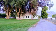
  • Fire insurance maps. Library of Congress Sanborn collection, faceted to this county.
  • Photographs. Each place queried individually against the Library of Congress Prints and Photographs search.
  • Wildfire. Short, Karen C. 2022. Spatial wildfire occurrence data for the United States, 1992-2020 [FPA_FOD_20221014]. 6th Edition. Fort Collins, CO: Forest Service Research Data Archive. https://doi.org/10.2737/RDS-2013-0009.6 Collected with United States Government funding and usable without additional permissions or fees.
  • Mines and quarries. USGS Mineral Resources Data System (MRDS) https://mrdata.usgs.gov/mrds/ A work of the United States government, no copyright under 17 U.S.C. 105.
  • Storms. NOAA National Centers for Environmental Information, Storm Events Database https://www.ncei.noaa.gov/stormevents/ A work of the United States government, no copyright under 17 U.S.C. 105. Narratives are quoted verbatim from the National Weather Service report and are not edited or summarised.