 Block
From the record
One of 70 National Register listings published here for Davis County · listed in 1997 · category: Building.
Sources: the case file at the National Archives · the National Register database, National Park Service
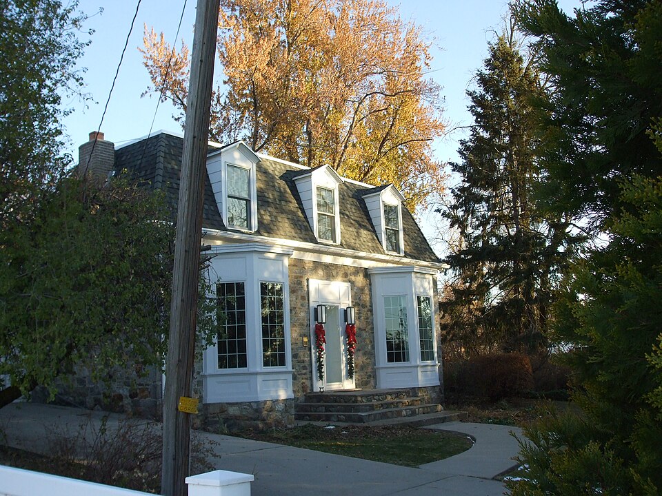
Listed on the National Register of Historic Places in 1997.
One of 70 National Register listings published here for Davis County · listed in 1997 · category: Building.
Sources: the case file at the National Archives · the National Register database, National Park Service
Regional context, not property-specific evidence. The federal wildfire occurrence database lists 81 fires within 5 miles of William Henry and Mary Streeper House between 1992 and 2020, burning about 4,009 acres in total. 11 started naturally. 6 were recorded as arson. Distance is straight-line from the map coordinates, so a fire counted here may appear on a neighbouring settlement's page as well.
| Reported cause | Fires |
|---|---|
| Missing data/not specified/undetermined | 24 |
| Recreation and ceremony | 19 |
| Natural | 11 |
| Fireworks | 9 |
| Equipment and vehicle use | 7 |
| Arson/incendiarism | 6 |
| Misuse of fire by a minor | 4 |
| Smoking | 1 |
The most recent of them, most recent first, with the day each was reported and the service that recorded it.
| Date | Cause | Size | Reported by | Name on the report |
|---|---|---|---|---|
| 6 September 1994 | Natural | under an acre | Uinta-Wasatch-Cache National Forest | LUCKY LYNN |
| 6 September 1994 | Natural | under an acre | Uinta-Wasatch-Cache National Forest | TELEPHONE POLE |
| 3 September 2012 | Natural | under an acre | Uinta-Wasatch-Cache National Forest | FARMINGTON FLAT |
| 28 September 2014 | Recreation and ceremony | under an acre | Uinta-Wasatch-Cache National Forest | BUCKLAND 2 |
| 16 September 2000 | Recreation and ceremony | under an acre | Uinta-Wasatch-Cache National Forest | BUCKLAND FLAT |
| 15 September 2011 | Missing data/not specified/undetermined | 37 acres | Uinta-Wasatch-Cache National Forest | PARRISH |
| 14 September 2016 | Natural | under an acre | Utah Division Forestry Fire State Lands | WARD |
| 14 September 1997 | Natural | under an acre | Uinta-Wasatch-Cache National Forest | MILLER CREEK |
Regional context, not property-specific evidence. The federal mineral resources record lists 27 workings within 5 miles of William Henry and Mary Streeper House: 10 occurrences, 8 prospects, 4 past producers, 3 producers. 3 still produce. What was taken out: Sand and Gravel, Construction, Copper, Beryllium, Copper, Silver. Distance is straight-line from the map coordinates, so a quarry counted here may appear on a neighbouring settlement's page as well.
| Where | Site | Commodity | Status | Recorded |
|---|---|---|---|---|
| Buckland Mining and Development Prospect | Copper, Silver, Iron | Occurrence | Vein | |
| Lucky Boy | Tungsten, Silver, Gold, Copper | Occurrence | ||
| Lucky L | Uranium | Occurrence | ||
| Morning Star Claims Group | Copper, Gold | Occurrence | ||
| Upper Ward Canyon Prospects | Copper, Lead, Zinc | Occurrence | Underground | |
| Beryl | Beryllium | Occurrence | ||
| Beryl | Beryllium | Occurrence | ||
| Bountiful Peak Campground Prospect | Copper | Occurrence | Vein | |
| Se Centerville Canyon Prospect | Copper | Occurrence | Vein | |
| Sw Centerville Canyon Prospect | Copper | Occurrence | Malachite |
Regional context, not property-specific evidence. The National Weather Service names Centerville, the town this property stands in, in 9 storm reports between 1994 and 2026: 4 thunderstorm wind, 2 hail, 2 flash flood, 1 tornado. No death or injury is recorded in these reports. Each account below is quoted exactly as the forecast office filed it, from the NOAA Storm Events Database, and each date opens the federal record of that event.
| When | Event | Place named | Harm | What the report says |
|---|---|---|---|---|
| August 2021 | Flash Flood | Centerville | $100,000 | Flash flooding was reported on the Bountiful Bench, with water flowing through a home. |
| July 1995 | Tornado (F0) | Centerville | $10,000 | Severe pre-frontal thunderstorms developed along the Wasatch front. In the Kearns area, gusts were measured at 58 mph. In the Centerville area, a gustnado occurred. Witnesses indicated they heard a train sound and saw both trees and dirt moving in circular motions. The overall damage path was about 0.5 miles long and less than 0.1 mile wide. The gustnado moved from south to north, with it apparently skipping into the air, not causing damage along the entire path length. One witness was briefly lifted into the air as the gustnado passed over. One house incurred $10,000 in damage. They reported severe tree damage, had two skylights lifted from part of the roof, and had an electric junction box removed from the side of the house. Their next door neighbor reported that two-inch diameter willow branches were removed from the tree, transported 100 feet and over a single story building, and were wrapped tightly around the base of another tree. At a third house, a flag pole that had previously withstood 90 mph winds was snapped. The gustnado bent a six-foot chain fence to a 45 degree angle towards the east. |
| October 2004 | Flash Flood | Centerville | $10,000 | no account filed |
| April 2026 | Thunderstorm Wind | Centerville | - | Public reported a large branch to around 6 inches in diameter was snapped from a severe wind gust associated with a thunderstorm. A photo was shared on social media. |
| May 2025 | Thunderstorm Wind | Centerville | - | The EW2533 Bountiful Bench mesonet station recorded a wind gust of 59 mph as a result of outflow winds associated with a nearby cluster of showers and thunderstorms moving through the area. |
| September 2014 | Thunderstorm Wind | Centerville | - | A 62 mph wind gust was recorded at the Bountiful Bench. |
| August 2006 | Hail | Centerville | - | Unofficial report of ping-pong ball size hail. Radar estimates 1 to 1.5" so report is possible. 3/4" report also from Centerville. |
| June 2000 | Hail | Centerville | - | Severe thunderstorms brought 3/4-1 inch hail to the Centerville area, damaging tree limbs along with a few gardens. |
| May 1994 | Thunderstorm Wind | Centerville | - | no account filed |
No historic map-sheet match is published for this property yet. That does not mean no map exists. This record needs a coordinate-quality review before it can be joined to a sheet boundary. Browse the county's mapped places while that work is pending.
Other National Register properties close enough to walk or drive between, ordered by distance from this one. Both positions come from the same geocoding pass that matched these properties to their map sheets.
| Photograph | Property | Distance | Listed |
|---|---|---|---|
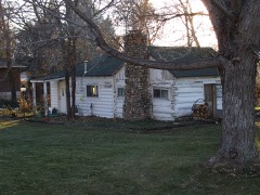 | Thurston-Chase Cabin | under 500 feet | 1997 |
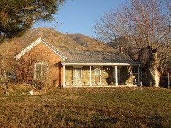 | Barnard-Garn-Barber House | 0.2 miles | 1997 |
| Leroy and Alice Cheney House | 0.3 miles | 2021 | |
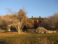 | Joseph N. and Algie Ford House | 0.5 miles | 2005 |
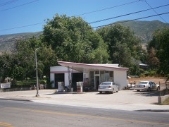 | Ron's Phillips 66 Service Station | 0.7 miles | 2018 |
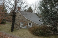 | Duncan, John, Harriet, and Eliza Jennett, House | 0.7 miles | 1997 |
| National Archives record | The nomination case file for reference 97001321 in Record Group 79. |
| Davis County | All 70 listed properties in this county. |