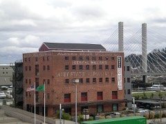
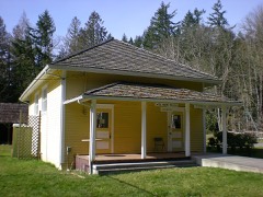
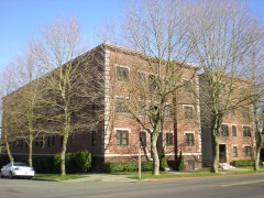
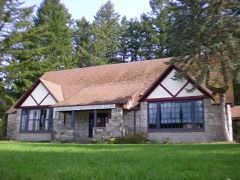
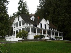
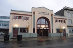
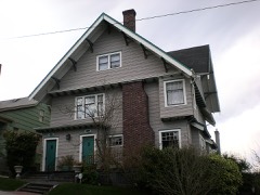
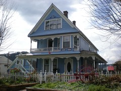
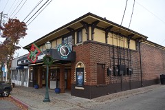
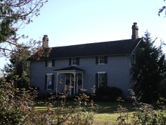
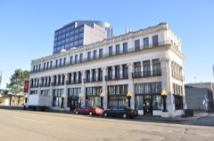
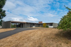
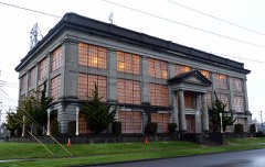
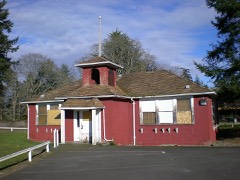
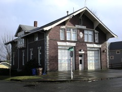
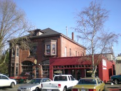
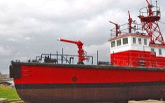
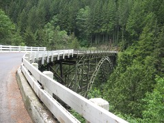
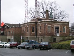
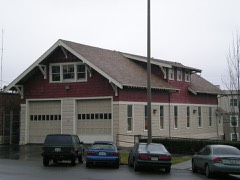
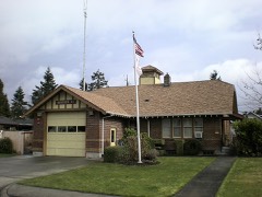
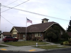
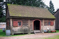
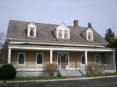
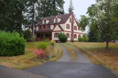
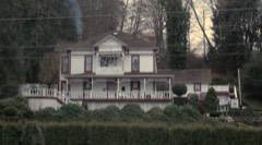
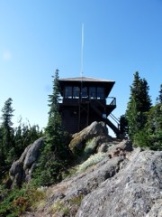
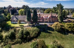
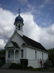
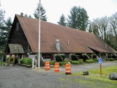
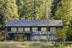
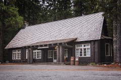
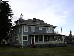
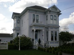
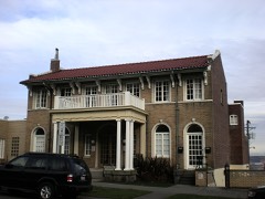
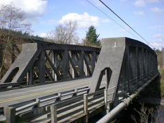
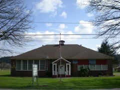
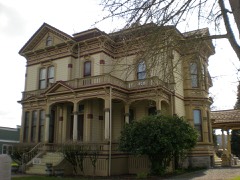
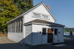
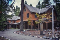
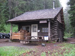
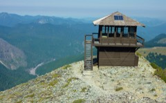
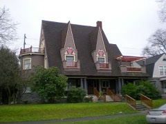
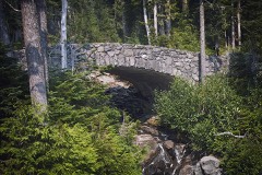
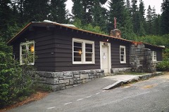
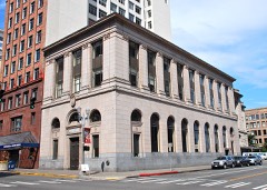
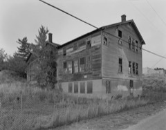
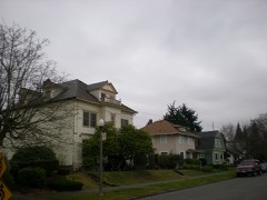
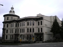
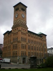
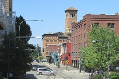
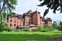
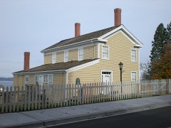
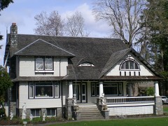
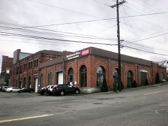
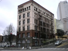
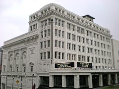
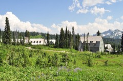
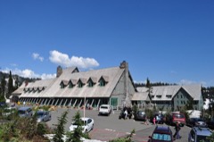
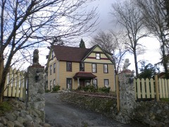
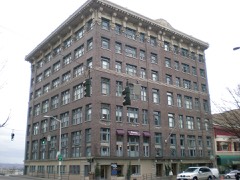
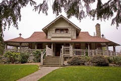
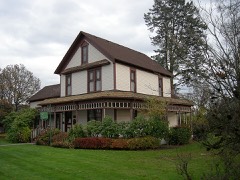
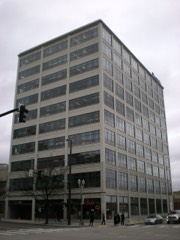
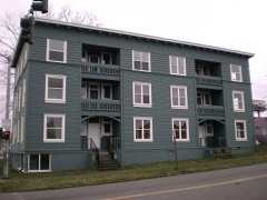
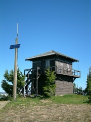
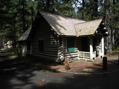
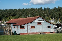
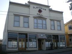
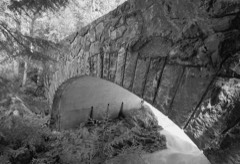
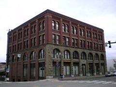
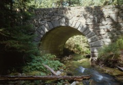
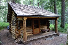
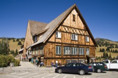
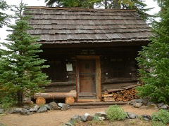
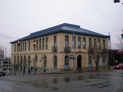
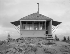
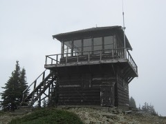
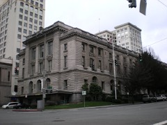
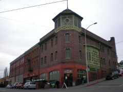
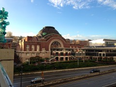
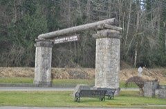
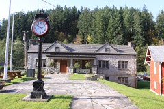
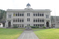
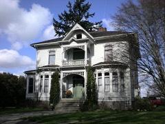
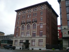
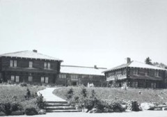
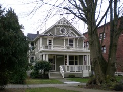
215 National Register listings published here, 6 of them National Historic Landmarks · the county-history sources name 3 people · people the book names include Ik General (Tacoma, 1888) (machine-read).
Every wildfire the federal occurrence
database records inside this county: 762 of them, burning
about 3,236 acres. 129 started naturally and 40 were recorded as arson. Each settlement page carries the fires within
five miles of it.
Reported cause
Fires
Recreation and ceremony
261
Missing data/not specified/undetermined
149
Natural
129
Debris and open burning
93
Arson/incendiarism
40
Smoking
23
Fireworks
19
Equipment and vehicle use
18
Misuse of fire by a minor
13
Other causes
10
Power generation/transmission/distribution
6
Railroad operations and maintenance
1
The five largest, by the area the report
gives. One of them was set deliberately.
Date
Cause
Size
Reported by
Name on the report
7 September 2020
Missing data/not specified/undetermined
494 acres
Washington State Fire Marshal's Office
SUMNER GRADE
24 July 2018
Natural
420 acres
Mt. Baker-Snoqualmie National Forest
WRONG CREEK
5 August 2003
Natural
310 acres
Mount Rainier National Park
REDSTONE3
18 August 2006
Arson/incendiarism
280 acres
Washington State Department of Natural Resources Headquarters
CARBON COPY
2 September 2006
Missing data/not specified/undetermined
280 acres
Washington State Department of Natural Resources Headquarters
not named
7 September 2020
Missing data/not specified/undetermined
275 acres
Washington State Department of Natural Resources Headquarters
244TH COMMAND
2 September 2006
Recreation and ceremony
193 acres
Mt. Baker-Snoqualmie National Forest
GREENWATER 7440
11 August 2014
Natural
62 acres
Mt. Baker-Snoqualmie National Forest
LOST RIDGE
Every settlement page carries the fires within five
miles of it - see the settlement index below.
Storms,
1978 to 2017
34 of 34 shown
The
NOAA Storm Events Database holds
34 reports for this county, causing no deaths, 2 injuries and about $49,499,800 in recorded property damage.
Each settlement page carries the reports that name it.
Kind of event
Reports
Tornado
9
Heavy Rain
9
Lightning
5
Funnel Cloud
3
Flood
3
Thunderstorm Wind
2
Debris Flow
2
Hail
1
The most serious of them, by death, then
injury, then recorded damage. The accounts are quoted exactly as the
forecast office filed them.
Lightning struck a chain link fence outside a mobile home. The lightning traveled through the metal skirting beneath a mobile home, damaging it and injuring the woman inside.
Lightning struck a maple tree, then the man who owned the tree went outside to examine the damage, when a second lightning strike hit near the tree, traveled through the ground and shocked him. He suffered burns to his head, chest and feet, while the first lightning strike damaged electrical equipment inside the home.
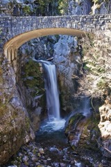
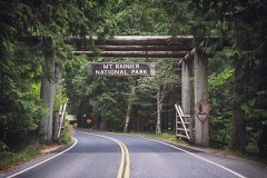
Mt Rainier National Park received about 18 inches of rain in two days. The rain and resulting landslides washed out roads and trails, severed sewer, water and power lines and damaged campgrounds. In all, the damage was the worst in the 107 years of the park's existence and closed the park. The park was not expected to reopen until at least the spring 2007 and more likely summer 2007 after many initial repairs had been completed.
There was flooding along the Puyallup River, some homes and businesses in Sumner flooded. Towns along the river had evacuation orders in place. Several roads in the area were also flooded, including 3 lanes of I-5 in Fife. Several small cities in eastern Pierce county, including Wilkeson and South Prairie, had flooding from creeks.
Record flooding occurred on the Cowlitz, Nooksack, Puyallup, Nisqually, |Skykomish, Stillaguamish, Carbon, Snoqualmie, and Bogachiel. Major flooding occurred on the Tolt, Snohomish, Skokomish, Skagit, and White rivers. Other rivers flooding were the Satsop, Cedar, Wynoochee, Elwha, Deschutes, Dungeness, Skookumchuck, and Chehalis.
Confirmed EF1 tornado with estimated wind speed 100-110 mph. Maximum width was 170 yards. On ground intermittently over a 9.6 mile path length for 16 minutes.
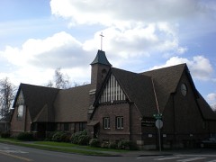
A weak tornado touched down in a south Tacoma neighborhood just east of I-5. A church suffered roof and beam damage and several trees were pushed over or snapped off. There were also some downed fences.
A landslide closed southbound Schuster Parkway in Tacoma on the afternoon of Oct 10th after a burst of heavy rain moved through Pierce County. The heavy rain and wind also caused sporadic power outages and some spinouts elsewhere in Pierce County. A part of I-705 was also closed at South 11th Street due to flooding. ||Runoff from the heavy rainfall overwhelmed drainage systems near Tacoma's Stadium High School resulting water and debris running through the campus and tumbling into and flooding the football field.
Heavy rain inundated more than 60 units in a mini storage business in Tacoma.|Tacomas environmental services crews responded to 76 calls of flooding due to heavy rain.
EF1 tornado on the ground for 5 minutes or less. Path length about 1 mile. Width 75 yards. Max wind speed estimated at 110 mph. Key damage - tore off part of the roof of businesses at NW Door and again at Encon across the street, and on the Fredrickson Boeing Plant facility blew over several empty rail boxcars, knocked down a Rohn tower and several parking lot lamp posts, blew down over two dozen trees, and about a dozen vehicles with damage.
The tornado destroyed a carport at one house. The trestles were also cracked inside of the garage. A utility pole was bent back (leaning) which was being supported by a digger. The garbage can was found in the trees; the trees were damaged. Several shingles were ripped from roofs. A road sign and several more trees were also damaged nearby. At the local Eagle's Club, siding was peeled back on one corner with branches strewn across the property. Estimated peak wind speeds of 75 mph.
Tornado starting from about 4 miles wsw of Gig Harbor dissipating just ene of Gig Harbor. Tornado determination based on eye-witness reports and video. Maximum intensity EF1. Wind up to 110 mph. Path length 4.1 miles. Maxmimum width up to 175 yards.
The Survey's mineral resources record
lists 190 workings inside this county. 11 still produce and 179 are closed or unrecorded. Each
settlement page carries the workings within five miles of it.
Commodity
Workings
Sand and Gravel, Construction
132
Gold
13
Copper
8
Stone
4
Stone, Crushed/Broken
4
Flagstone
3
Diatomite
3
Perlite
3
Silver
2
Silver, Copper
2
Zinc, Silver, Lead, Copper
2
Clay
2
Mercury
1
Antimony, Arsenic
1
The least common of them first, because a
county's hundredth gravel pit says nothing its first ten did not.
Compendium of Information Concerning the City of Tacoma and Washington Territory. (1888)
43,193 words in 3 parts
The county's history books
423,134 words
One book written about this county, cut here
where the book itself is cut, at its printed chapters: 1 chapter in all.
Every chapter is public domain, machine-read from the scan and
reproduced complete. A chapter already given under one of the county's
towns is not repeated in this list.
Everyone History of Pierce County Washington stops to write about, with
the section that describes them. Among them are the men who founded the
place and governed the Territory. Each name opens the passage itself, in
the words of 1927.
Named settlements recorded in the Geographic Names
Information System, each with the topographic sheets covering it. Villages,
hamlets and abandoned places alike. Each is shown with the nearest named
watercourse or landform and the survey quadrangle it falls on.
Topographic sheets. USGS Historical Topographic Map Collection, county index, measured from the bulk metadata.
Fire insurance maps. Library of Congress Sanborn collection, faceted to this county.
Photographs. Each place queried individually against the Library of Congress Prints and Photographs search.
Wildfire. Short, Karen C. 2022. Spatial wildfire occurrence data for the United States, 1992-2020 [FPA_FOD_20221014]. 6th Edition. Fort Collins, CO: Forest Service Research Data Archive. https://doi.org/10.2737/RDS-2013-0009.6 Collected with United States Government funding and usable without additional permissions or fees.
Mines and quarries. USGS Mineral Resources Data System (MRDS) https://mrdata.usgs.gov/mrds/ A work of the United States government, no copyright under 17 U.S.C. 105.
Storms. NOAA National Centers for Environmental Information, Storm Events Database https://www.ncei.noaa.gov/stormevents/ A work of the United States government, no copyright under 17 U.S.C. 105. Narratives are quoted verbatim from the National Weather Service report and are not edited or summarised.
 Block