 Block
Keller, Washington
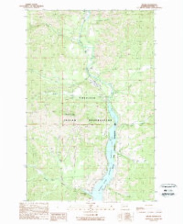
9 topographic sheets cover this place, the earliest surveyed in 1952 and the latest in 1989. It stands in the Colville Reservation census division. It lies in ZIP code area 99140. It stands on Jack Creek. The Survey maps it on the Keller quadrangle. 229 people lived here at the 2020 count. It stands 1,499 feet above sea level.
Research this city
Population over time
2 figuresKeller fell from 234 to 229 between 2010 and 2020. These are the recorded population figures Wikidata holds for this place, reached through the Geographic Names Information System number this page is keyed on rather than by name, so they belong to this place and not to another of the same name. Most are census counts, but not all are: an early figure may be a founding or settlement estimate, and an estimate published within five years of a census is left out. The change column is computed, and is left blank where more than 20 years separate a figure from the one before it, because a gap that long is not a change between two counts.
| Year | People | Change |
|---|---|---|
| 2010 | 234 | |
| 2020 | 229 | -5 (-2%) |
Topographic sheets covering this place
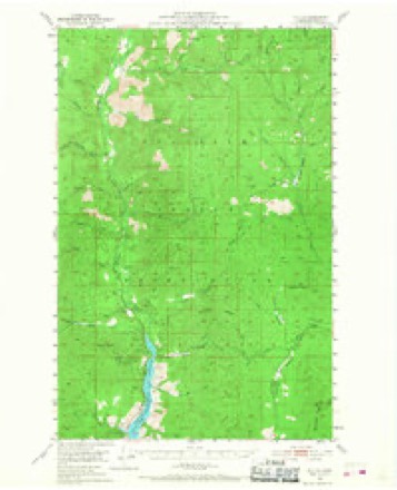
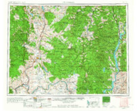
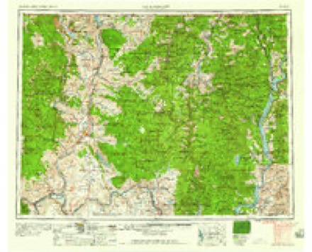
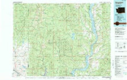
5 surveys from 9 printed sheetsMatched by testing this settlement's coordinate against the published boundary of every sheet in the United States Geological Survey's historical collection. Each opens the scanned sheet at the Survey.
- 1952 USGS Keller quadrangle1:62500, 3 printings
- 1954 USGS Okanogan quadrangle1:250000, 2 printings
- 1958 USGS Okanogan quadrangle1:250000
- 1984 USGS Nespelem quadrangle1:100000
- 1989 USGS Keller quadrangle1:24000, 2 printings
Fires near this place
243 since 1992Regional context, not property-specific evidence. The federal wildfire occurrence database lists 243 fires within 5 miles of Keller between 1992 and 2020, burning about 3,955 acres in total. 61 started naturally. 23 were recorded as arson. Distance is straight-line from the map coordinates, so a fire counted here may appear on a neighbouring settlement's page as well.
| Reported cause | Fires |
|---|---|
| Natural | 61 |
| Debris and open burning | 47 |
| Missing data/not specified/undetermined | 37 |
| Arson/incendiarism | 23 |
| Recreation and ceremony | 22 |
| Fireworks | 17 |
| Power generation/transmission/distribution | 15 |
| Misuse of fire by a minor | 10 |
| Other causes | 5 |
| Equipment and vehicle use | 5 |
| Firearms and explosives use | 1 |
The most recent of them, most recent first, with the day each was reported and the service that recorded it.
| Date | Cause | Size | Reported by | Name on the report |
|---|---|---|---|---|
| 6 September 2012 | Arson/incendiarism | 2.5 acres | Colville Agency | COOK CREEK |
| 5 September 2012 | Power generation/transmission/distribution | under an acre | Colville Agency | VAN SLYKE |
| 4 September 2011 | Arson/incendiarism | under an acre | Colville Agency | HEAD OF LAKE |
| 3 September 2011 | Arson/incendiarism | under an acre | Colville Agency | OLD KELLER DUMP ROAD |
| 29 September 2011 | Equipment and vehicle use | under an acre | Colville Agency | MIKE NEE |
| 28 September 2013 | Recreation and ceremony | under an acre | Colville Agency | SILVER CREEK II |
| 27 September 1999 | Misuse of fire by a minor | under an acre | Colville Agency | N ALICE FL |
| 24 September 2000 | Misuse of fire by a minor | under an acre | Colville Agency | ALICE FLAT |
Settlements close enough to share some of these fires:
Mines and quarries near this place
10 of 98 shownRegional context, not property-specific evidence. The federal mineral resources record lists 98 workings within 5 miles of Keller: 37 unknowns, 36 occurrences, 17 prospects, 7 past producers. 1 still produces. What was taken out: Copper, Silver, Gold, Lead. Distance is straight-line from the map coordinates, so a quarry counted here may appear on a neighbouring settlement's page as well.
| Where | Site | Commodity | Status | Recorded |
|---|---|---|---|---|
| Abe Lincoln | Copper, Lead, Zinc, Molybdenum | Occurrence | Vein | |
| Abe Lincoln | Copper, Lead, Molybdenum, Zinc | Unknown | ||
| Addie B | Copper, Molybdenum, Zinc, Lead, Silver | Prospect | Vein | |
| Addie B | Copper, Silver, Zinc, Lead, Molybdenum | Unknown | ||
| Addison Pacific Mutual Silver and Lead Co. | Lead, Silver, Copper, Zinc, Gold, Tungsten | Past Producer | Chalcopyrite, Galena, Gold, Malachite, Scheelite, Silver, Sphalerite, Wolframite | |
| Belcher | Copper, Gold, Silver | Occurrence | Replacement | |
| Bobbie Jay | Silver, Copper, Zinc | Occurrence | ||
| Byrne | Silver, Gold | Occurrence | ||
| California | Copper, Silver, Molybdenum | Prospect | Vein | |
| Clay | Copper, Silver, Lead, Gold, Molybdenum | Prospect | Vein |
Storms near this place
20 since 1996Regional context, not property-specific evidence. The National Weather Service names Keller in 20 storm reports between 1996 and 2022: 12 thunderstorm wind, 3 hail, 3 flood, 2 flash flood. No death or injury is recorded in these reports. Each account below is quoted exactly as the forecast office filed it, from the NOAA Storm Events Database, and each date opens the federal record of that event.
| When | Event | Place named | Harm | What the report says |
|---|---|---|---|---|
| April 2017 | Flood | Keller | $1,500,000 | Ferry County was affected by numerous road washouts due to areal flooding and debris flows during much of the month of April. Travel was disrupted through out the county with at least 20 roads closed or reduced to one lane due to damage. ||The most notable road closures include Highway 395 near Boyds, which suffered a 100 foot section of the road washed away into a 20 foot deep chasm on April 13th, and Highway 21 where a temporary one lane bridge was constructed to cross a 100 foot total washout of the road 15 miles south of Republic, and the Inchelium Highway near Inchelium where a debris flow cut the road on April 15th. All of these roads are major north-south highways through the county. ||The Sanpoil River flooded during this period causing one house to wash away into the river and threatened another home as the flood undermined the bluff it was located on. |
| July 2012 | Thunderstorm Wind | Keller | $500,000 | Numerous trees were blown down in the town of Keller. Several trees fell onto houses causing significant damage. |
| July 2012 | Thunderstorm Wind | Keller | $400,000 | Hundreds of trees were blown down in the area. Multiple trees landed on houses. |
| April 2017 | Flood | Keller | $200,000 | A residence located along the Sanpoil River just north of Keller was undermined by the flooding river and eventually toppled into the river. The resident was able to remove most of the valuables and furniture from the house before it went into the river. |
| May 2017 | Flood | Keller | $100,000 | Periodic heavy rain during the month of April along with spring-time snow melt created saturated soil conditions during April and continuing through the first week of May. Numerous small stream floods and debris flows plagued the county. In the Curlew area on May 5th and 6th several reports of flooding were reported, including Curlew Creek near Curlew flooding basements and roads and Toroda Creek overflowing and affecting several bridges. Cottonwood Creek northwest of Curlew washed out a driveway to a residence. Highway 395 was washed out near Boyds in April and remained closed and under extensive repairs during the month of May. |
| June 2022 | Thunderstorm Wind | Keller | $50,000 | Utility company reports multiple trees down along meadow creek road. Ponderosa pines snapped approx 50 feet up and fell on nearby powerlines causing power outages. |
| August 2014 | Thunderstorm Wind | Keller | $40,000 | The operator of the Keller Ferry reported winds clocked at 84 mph. |
| July 2014 | Thunderstorm Wind | Keller | $30,000 | Thunderstorm winds blew down trees across several areas of Ferry County. Downed trees and power lines were reported in Keller, Inchelium, and Danville. A media picture from the county shows damage to a car port but the exact location is unknown. |
| June 2022 | Thunderstorm Wind | Keller | $20,000 | Colville tribe reports debris on road near the intersection of sr 21 and silver creek rd. It did not impeding travel. |
| August 2014 | Thunderstorm Wind | Keller | $10,000 | Thunderstorm winds of 50 to 60 mph carried a wall of dust into southern Ferry County. Isolated power line and tree damage was noted across far southern sections of the county. Power lines were downed on the Colville Reservation along Highway 21 between Keller and mile post nine. |
| July 1998 | Thunderstorm Wind | Keller | $10,000 | downed trees on Highway 21 and in Keller on Kuehne Rd. |
| August 2019 | Flash Flood | Keller | $5,000 | Firefighters on the Williams Flats Wildfire reported numerous roads washed out due to heavy rain from a series of thunderstorms passing over the burn area. An estimated 2 inches of rain from persistent thunderstorms impacted the active fire site. Sixty four firefighters were stranded overnight when their access road was washed out by a flash flood during the evening of the 10th. They were successfully extracted the next morning using an alternate route. |
| August 2013 | Thunderstorm Wind | Keller | $5,000 | A large tree was downed and fell across power lines in Republic resulting in numerous power outages. |
| July 2012 | Thunderstorm Wind | Keller | $1,000 | Law Enforcement reported trees down on Manilla Creek Road. |
| June 2015 | Flash Flood | Keller | - | A member of the public reported heavy rain flooded the parking lot at the Keller store in Keller, WA. |
| July 2012 | Thunderstorm Wind | Keller | - | Trees were blown down on Silver Creek Road. |
| July 2008 | Hail | Keller | - | Penny size hail fell over the Mount Tolman Complex. |
| July 2000 | Thunderstorm Wind | Keller | - | Pea-sized hail covered Cache Creek Road to a depth of one inch, causing cars to slide off the road. |
| June 2022 | Hail | Keller | - | no account filed |
| July 1996 | Hail | Keller | - | no account filed |
Nearest settlements
The eight closest, with where each one stands in the county. Distances are straight-line, computed from the Geographic Names Information System coordinates.
Elsewhere
Matched on this settlement's Geographic Names Information System number rather than its name, so it cannot be a different place of the same name in another state.
| Wikipedia article on Keller | An encyclopaedic summary. Its text is share-alike, so it is linked here rather than copied. |
| Wikidata item Q3473398 | The structured record the population and elevation above come from. Public domain (CC0). |
Provenance
This settlement is recorded in the Geographic Names Information System as feature 1511063. The sheet list is computed by point-in-boundary test against the United States Geological Survey's historical topographic inventory. Both are works of the United States government and carry no copyright under 17 U.S.C. 105.
Wildfire. Short, Karen C. 2022. Spatial wildfire occurrence data for the United States, 1992-2020 [FPA_FOD_20221014]. 6th Edition. Fort Collins, CO: Forest Service Research Data Archive. https://doi.org/10.2737/RDS-2013-0009.6 Collected with United States Government funding and usable without additional permissions or fees.
Mines and quarries. USGS Mineral Resources Data System (MRDS) https://mrdata.usgs.gov/mrds/ A work of the United States government, no copyright under 17 U.S.C. 105.
Storms. NOAA National Centers for Environmental Information, Storm Events Database https://www.ncei.noaa.gov/stormevents/ A work of the United States government, no copyright under 17 U.S.C. 105. Narratives are quoted verbatim from the National Weather Service report and are not edited or summarised.