 Block
Oroville, Washington
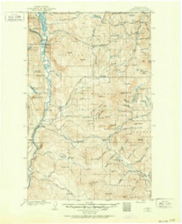
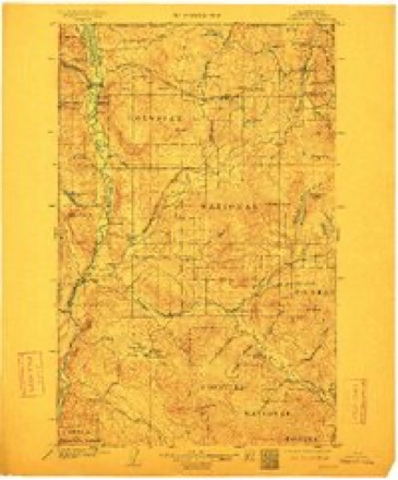
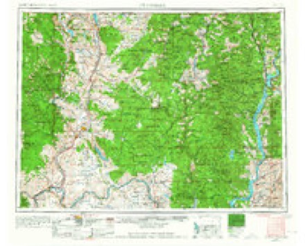
15 topographic sheets cover this place, the earliest surveyed in 1902 and the latest in 2001. It stands in the Oroville census division. It lies in ZIP code area 98844. It stands on Tonasket Creek. The Survey maps it on the Oroville quadrangle. 1,795 people lived here at the 2020 count. It stands 938 feet above sea level.
Research this city
On record in Oroville
Buildings and businesses the archive holds for this place. Each opens its own page, with the source record it came from.
On the National Register 2 records
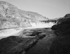 Enloe Dam and Powerplantlisted 1978
- Hiram F. Smith Orchardlisted 1975
Topographic sheets covering this place
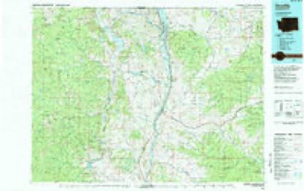
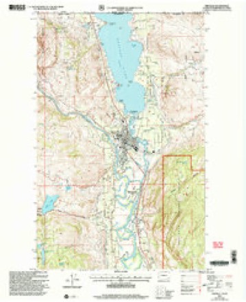
9 surveys from 15 printed sheetsMatched by testing this settlement's coordinate against the published boundary of every sheet in the United States Geological Survey's historical collection. Each opens the scanned sheet at the Survey.
- 1902 USGS Osoyoos quadrangle1:125000
- 1904 USGS Osoyoos quadrangle1:125000, 3 printings
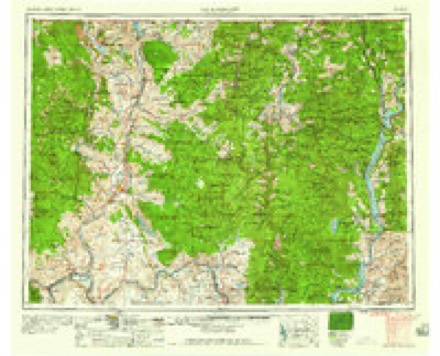
- 1954 USGS Okanogan quadrangle1:250000, 2 printings
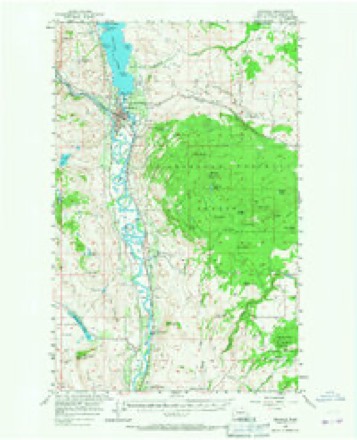
- 1957 USGS Oroville quadrangle1:62500, 3 printings
- 1958 USGS Okanogan quadrangle1:250000
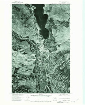
- 1975 USGS Oroville NW quadrangle1:24000
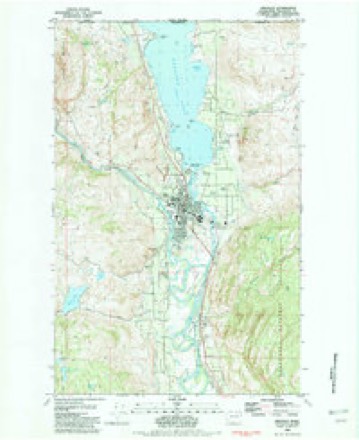
- 1982 USGS Oroville quadrangle1:24000, 2 printings
- 1984 USGS Oroville quadrangle1:100000
- 2001 USGS Oroville quadrangle1:24000
Fires near this place
85 since 1992Regional context, not property-specific evidence. The federal wildfire occurrence database lists 85 fires within 5 miles of Oroville between 1992 and 2020, burning about 12,663 acres in total. 46 started naturally. None was recorded as arson. Distance is straight-line from the map coordinates, so a fire counted here may appear on a neighbouring settlement's page as well.
| Reported cause | Fires |
|---|---|
| Natural | 46 |
| Debris and open burning | 14 |
| Missing data/not specified/undetermined | 6 |
| Recreation and ceremony | 5 |
| Fireworks | 5 |
| Power generation/transmission/distribution | 4 |
| Other causes | 3 |
| Smoking | 1 |
| Equipment and vehicle use | 1 |
The most recent of them, most recent first, with the day each was reported and the service that recorded it.
| Date | Cause | Size | Reported by | Name on the report |
|---|---|---|---|---|
| 8 September 2004 | Natural | under an acre | Washington State Department of Natural Resources Headquarters | GOLD RUSH |
| 8 September 1997 | Other causes | under an acre | Washington State Department of Natural Resources Headquarters | not named |
| 7 September 2011 | Equipment and vehicle use | under an acre | Washington State Department of Natural Resources Headquarters | NINE MILE CREEK |
| 6 September 2013 | Natural | under an acre | Washington State Department of Natural Resources Headquarters | ROCK LAKE STRIKE |
| 16 September 2003 | Natural | under an acre | Okanogan-Wenatchee National Forest | MCDONALD |
| 10 September 2016 | Missing data/not specified/undetermined | under an acre | Washington State Department of Natural Resources Headquarters | OROVILLE SIDE |
| 9 August 2013 | Natural | 1.2 acres | Washington State Department of Natural Resources Headquarters | BORDER STRIKE |
| 9 August 2008 | Natural | under an acre | Okanogan-Wenatchee National Forest | MCDONALD |
Settlements close enough to share some of these fires:
Mines and quarries near this place
10 of 70 shownRegional context, not property-specific evidence. The federal mineral resources record lists 70 workings within 5 miles of Oroville: 21 past producers, 17 occurrences, 16 unknowns, 8 producers. 8 still produce. What was taken out: Sand and Gravel, Construction, Gold, Copper, Silver. Distance is straight-line from the map coordinates, so a quarry counted here may appear on a neighbouring settlement's page as well.
| Where | Site | Commodity | Status | Recorded |
|---|---|---|---|---|
| 49th Parallel | Copper, Gold, Tungsten, Molybdenum | Past Producer | Bornite, Chalcopyrite, Pyrite, Scheelite | |
| 49th Parallel | Copper, Gold, Tungsten | Occurrence | Bornite, Chalcopyrite, Scheelite | |
| 49th Parallel Claims | Gold, Tungsten, Copper | Prospect | Vein | |
| 49th Parallel, Ok Copper | Molybdenum, Copper, Silver, Tungsten | Occurrence | Chalcopyrite, Molybdenite, Scheelite | |
| Adams, Moncosilgo | Molybdenum, Copper | Occurrence | Vein | |
| Bitter Lake | Bromine | Prospect | Epsomite | |
| Bitter Lake | Salt | Past Producer | ||
| Black Warrior | Gold, Silver, Lead, Copper | Unknown | ||
| Finella Claims | Iron, Silver, Gold | Occurrence | Magnetite | |
| Golden Chariot | Silver, Copper, Gold, Tungsten, Molybdenum | Past Producer | Chalcopyrite, Molybdenite, Scheelite |
Storms near this place
18 since 1997Regional context, not property-specific evidence. The National Weather Service names Oroville in 18 storm reports between 1997 and 2024: 5 thunderstorm wind, 4 hail, 4 flood, 2 flash flood. The reports record 1 death. Each account below is quoted exactly as the forecast office filed it, from the NOAA Storm Events Database, and each date opens the federal record of that event.
| When | Event | Place named | Harm | What the report says |
|---|---|---|---|---|
| July 2001 | Flash Flood | Oroville | 1 killed, $1,500,000 | no account filed |
| May 2018 | Flood | Oroville | $12,000,000 | The USGS River Gage on the Okanogan River at Tonasket recorded a rise above the Flood Stage of 15.0 feet at 4:45 AM PST on May 5th. The river continued to rise, passing through the Moderate Flood Stage of 17.0 Feet at 11:45 PM on May 7th and through the Major Flood Stage of 18.0 feet at 9:15 AM on May 9th. The river crested twice, the first and highest crest of 19.7 feet at 4:30 PM PST on May 11th and the second crest of 19.3 feet at 10:30 AM on May 18th. The river then receded, passing below Major Flood Stage at 9:30 PM on May 20th and below the Moderate Flood Stage at noon PST on May 22nd. The river continued to slowly recede finally passing below the Flood Stage at 2:30 AM on May 27th. |
| July 2000 | Wildfire | Oroville | $3,300,000 | The "Rocky Hull" wildfire, which was sparked by lightning several days earlier and fanned by gusty winds, destroyed thirty-three homes in the Mount Hull area. One man suffered a heart attack and died while trying to, according to a newspaper article, "help his fellow residents" against the fire. The indicated cost of this fire only reflects property damage and does not include the roughly $4 million price tag of fighting the fire. The fire burned 9,375 acres. |
| June 2017 | Flood | Oroville | $5,000 | The Okanogan River Gage at Tonasket recorded a rise above the Flood Stage of 15.0 feet at 7:30 AM PST on May 23rd. The river continued to flood into the first week of June, achieving and cresting at the Moderate Flood Stage of 17.0 feet from 7:30 PM to 10:15 PM on June 1st. The river slowly dropped during the first week of June and passed below the Flood Stage at 10:15 PM PST on June 5th. |
| May 2017 | Flood | Oroville | $3,000 | The Okanogan River Gage at Tonasket recorded a rise above the Flood Stage of 15.0 feet at 7:30 AM PST on May 23rd. The river crested multiple times in Minor Flood around 16.5 feet and continued to flood into the month of June. |
| September 2024 | Thunderstorm Wind | Oroville | $2,500 | Emergency Manager relays report that multiple trees are down in Oroville with damage to roof on at least one home. Oroville RAWS reported a gust of 55 MPH. |
| September 2014 | Thunderstorm Wind | Oroville | $2,000 | The Oroville RAWS measured winds sustained at 37 mph with a gust to 61 mph between 1240 and 1340 LST. The wind gust was associated with outflow from a decaying shower. No lightning was observed with the convective shower. The Oroville COOP reported damage to the power station. |
| September 2024 | Thunderstorm Wind | Oroville | $500 | Large tree downed near Oroville High School. Oroville RAWS reported a gust of 55 MPH. |
| June 2018 | Thunderstorm Wind | Oroville | - | The Oroville RAWS station reported west winds of 17 mph sustained with a gust of 61 mph as a thunderstorm passed through during the morning of June 25th. |
| February 2015 | Debris Flow | Oroville | - | Law Enforcement reported a couple of minor mud slides north of Oroville, WA in the steep terrain. Roads were quickly cleared with no road closures reported. |
| May 2013 | Flood | Oroville | - | A National Weather Service employee surveyed the Okanogan River near Tonasket and found pasture fields, and, to a lesser extent, agricultural fields flooded during peak flow. |
| June 1998 | Heavy Rain | Oroville | - | 1 inch of rain in less than 1 hour |
| August 1997 | Thunderstorm Wind | Oroville | - | 61 mph gust reported at automatic weather station ...elev 1303 ft |
| July 2008 | Hail | Oroville | - | no account filed |
| July 2006 | Hail | Oroville | - | no account filed |
| July 2006 | Hail | Oroville | - | no account filed |
| July 2006 | Hail | Oroville | - | no account filed |
| July 2006 | Flash Flood | Oroville | - | no account filed |
Nearest settlements
The eight closest, with where each one stands in the county. Distances are straight-line, computed from the Geographic Names Information System coordinates.
| Map | Place | Distance | Sheets |
|---|---|---|---|
| Cordell | 5.2 miles | 13 | |
| Enterprise | 9.5 miles | 11 | |
| Ellisforde | 10.5 miles | 13 | |
| Nighthawk | 11.1 miles | 11 | |
| Molson | 12.8 miles | 12 | |
| Loomis | 13.3 miles | 11 | |
| Havillah | 14.5 miles | 12 | |
| Chopaka | 15.9 miles | 11 |
Elsewhere
Matched on this settlement's Geographic Names Information System number rather than its name, so it cannot be a different place of the same name in another state.
| Wikipedia article on Oroville | An encyclopaedic summary. Its text is share-alike, so it is linked here rather than copied. |
| Wikidata item Q1017586 | The structured record the population and elevation above come from. Public domain (CC0). |
Provenance
This settlement is recorded in the Geographic Names Information System as feature 1524077. The sheet list is computed by point-in-boundary test against the United States Geological Survey's historical topographic inventory. Both are works of the United States government and carry no copyright under 17 U.S.C. 105.
Wildfire. Short, Karen C. 2022. Spatial wildfire occurrence data for the United States, 1992-2020 [FPA_FOD_20221014]. 6th Edition. Fort Collins, CO: Forest Service Research Data Archive. https://doi.org/10.2737/RDS-2013-0009.6 Collected with United States Government funding and usable without additional permissions or fees.
Mines and quarries. USGS Mineral Resources Data System (MRDS) https://mrdata.usgs.gov/mrds/ A work of the United States government, no copyright under 17 U.S.C. 105.
Storms. NOAA National Centers for Environmental Information, Storm Events Database https://www.ncei.noaa.gov/stormevents/ A work of the United States government, no copyright under 17 U.S.C. 105. Narratives are quoted verbatim from the National Weather Service report and are not edited or summarised.