 Block
Starr, Washington
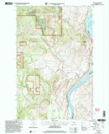
9 topographic sheets cover this place, the earliest surveyed in 1953 and the latest in 2001. It stands in the Methow Valley census division. It lies in ZIP code area 98846. The Survey maps it on the Azwell quadrangle.
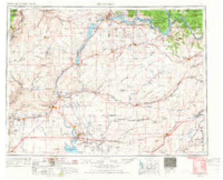
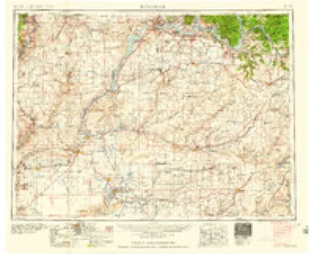
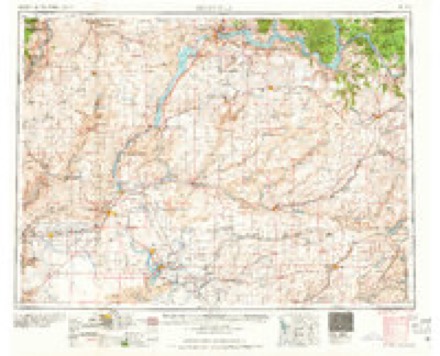
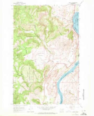
Topographic sheets covering this place
5 surveys from 9 printed sheetsMatched by testing this settlement's coordinate against the published boundary of every sheet in the United States Geological Survey's historical collection. Each opens the scanned sheet at the Survey.
- 1953 USGS Ritzville quadrangle1:250000, 3 printings
- 1959 USGS Ritzville quadrangle1:250000
- 1965 USGS Ritzville quadrangle1:250000
- 1968 USGS Azwell quadrangle1:24000, 3 printings
- 2001 USGS Azwell quadrangle1:24000
Fires near this place
31 since 1993Regional context, not property-specific evidence. The federal wildfire occurrence database lists 31 fires within 5 miles of Starr between 1993 and 2020, burning about 19,380 acres in total. 12 started naturally. None was recorded as arson. Distance is straight-line from the map coordinates, so a fire counted here may appear on a neighbouring settlement's page as well.
| Reported cause | Fires |
|---|---|
| Natural | 12 |
| Missing data/not specified/undetermined | 11 |
| Debris and open burning | 4 |
| Recreation and ceremony | 2 |
| Railroad operations and maintenance | 1 |
| Power generation/transmission/distribution | 1 |
The most recent of them, most recent first, with the day each was reported and the service that recorded it.
| Date | Cause | Size | Reported by | Name on the report |
|---|---|---|---|---|
| 4 September 2013 | Natural | under an acre | Okanogan-Wenatchee National Forest | ALTA BREAKS |
| 30 September 2016 | Natural | under an acre | Washington State Department of Natural Resources Headquarters | PATEROS VIEW |
| 3 September 2009 | Natural | under an acre | Okanogan-Wenatchee National Forest | GOAT MOUNTAIN |
| 14 September 1996 | Natural | under an acre | Washington State Department of Natural Resources Headquarters | not named |
| 13 September 1996 | Natural | under an acre | Washington State Department of Natural Resources Headquarters | not named |
| 5 August 2012 | Missing data/not specified/undetermined | 6,837 acres | Spokane District | ANTOINE 2 |
| 4 August 2002 | Recreation and ceremony | under an acre | Washington State Department of Natural Resources Headquarters | not named |
| 31 August 2017 | Railroad operations and maintenance | under an acre | Washington State Department of Natural Resources Headquarters | WELLS RAILROAD |
Settlements close enough to share some of these fires:
Mines and quarries near this place
10 of 15 shownRegional context, not property-specific evidence. The federal mineral resources record lists 15 workings within 5 miles of Starr: 6 past producers, 4 unknowns, 3 producers, 1 occurrence. 3 still produce. What was taken out: Sand and Gravel, Construction, Stone, Crushed/Broken, Nickel, Copper. Distance is straight-line from the map coordinates, so a quarry counted here may appear on a neighbouring settlement's page as well.
| Where | Site | Commodity | Status | Recorded |
|---|---|---|---|---|
| Alta Lake | Asbestos, Nickel, Copper | Unknown | ||
| Alta Lake | Limestone, General | Unknown | ||
| Pateros Quarry | Granite | Past Producer | ||
| Alta Lake Prospect | Nickel, Copper | Occurrence | Chalcopyrite, Pyrrhotite | |
| Blue Grouse Nickel Prospect | Copper, Nickel | Unknown | ||
| Alta Electra Lode Claim | Stone, Crushed/Broken | Prospect | ||
| Coulee Concrete Pit and Plant | Stone, Crushed/Broken | Producer | ||
| Dept of Highways | Stone, Crushed/Broken | Unknown | ||
| Washington State Pitcpsu-205 | Stone, Crushed/Broken | Producer | ||
| Chelan Concrete Co | Sand and Gravel, Construction | Past Producer |
Storms near this place
1 since 2014Regional context, not property-specific evidence. The National Weather Service names Starr in 1 storm report in 2014: 1 flash flood. No death or injury is recorded in these reports. Each account below is quoted exactly as the forecast office filed it, from the NOAA Storm Events Database, and each date opens the federal record of that event.
| When | Event | Place named | Harm | What the report says |
|---|---|---|---|---|
| August 2014 | Flash Flood | Starr | $80,000 | At approximately 1745 PST, a debris flow blocked Benson Creek Road six miles south of Twisp. Benson Creek eventually flowed across Highway 153 blocking the road at milepost 24. An hour later, at 1845 PST, a three to four foot flood wave came down Benson Creek Road trapping several vehicles. One vehicle which was transporting a convoy of resources from the Carlton Complex was carried down the road by the torrent of water approximately 1000 feet until it got caught in a log jam. No passengers were injured. Some people had to be rescued from their vehicles. Debris flows from earlier rains plugged spillways along five man made lakes known as the Wenner Lakes. Due to the plugged spillways, three of the five natural dams holding back the Wenner Lakes breached sending a floodwave down Benson Creek Road. No injuries were reported. Five to ten vehicles were cut off by the mud and slides and were temporarily unable to get off Highway 153 in the Methow Valley. The Chiliwist Area was under mandatory evacuations due to the flooding and deteriorating road conditions. Highway 20 closed due to multiple debris flows between B-O Road and intersection of Highway 153 between mile posts 204 and 229. The DOT reported that the road was partially washed away in places and unsafe for travel. The Incident Command Post in Winthrop had significant flood damage to some yurts and some fire personnel had to be relocated. |
Nearest settlements
The eight closest, with where each one stands in the county. Distances are straight-line, computed from the Geographic Names Information System coordinates.
| Map | Place | Distance | Sheets |
|---|---|---|---|
| Pateros | 4.1 miles | 13 | |
| Virginia City (historical) | 8.4 miles | 12 | |
| Brewster | 8.7 miles | 12 | |
| Methow | 11.4 miles | 13 | |
| Thompson (historical) | 12.1 miles | 12 | |
| Paradise Hill | 13.2 miles | 13 | |
| Monse | 14.7 miles | 12 | |
| Wakefield | 16.9 miles | 12 |
Provenance
This settlement is recorded in the Geographic Names Information System as feature 1526501. The sheet list is computed by point-in-boundary test against the United States Geological Survey's historical topographic inventory. Both are works of the United States government and carry no copyright under 17 U.S.C. 105.
Wildfire. Short, Karen C. 2022. Spatial wildfire occurrence data for the United States, 1992-2020 [FPA_FOD_20221014]. 6th Edition. Fort Collins, CO: Forest Service Research Data Archive. https://doi.org/10.2737/RDS-2013-0009.6 Collected with United States Government funding and usable without additional permissions or fees.
Mines and quarries. USGS Mineral Resources Data System (MRDS) https://mrdata.usgs.gov/mrds/ A work of the United States government, no copyright under 17 U.S.C. 105.
Storms. NOAA National Centers for Environmental Information, Storm Events Database https://www.ncei.noaa.gov/stormevents/ A work of the United States government, no copyright under 17 U.S.C. 105. Narratives are quoted verbatim from the National Weather Service report and are not edited or summarised.