 Block
Seattle, Washington
32 topographic sheets cover this place, the earliest surveyed in 1894 and the latest in 1992. It stands in the Seattle census division. It lies in ZIP code area 98164. It lies near Denny Hill (historical). The Survey maps it on the Seattle South quadrangle. 737,015 people lived here at the 2020 count. It stands 131 feet above sea level.
Research this city
On record in Seattle
Buildings and businesses the archive holds for this place. Each opens its own page, with the source record it came from.
On the National Register 12 of 229 shown
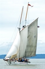 ADVENTURESSNational Historic Landmark · listed 1989
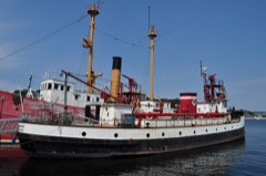 DUWAMISHNational Historic Landmark · listed 1989
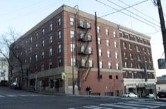 Panama HotelNational Historic Landmark · listed 2006
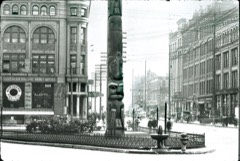 Pioneer Building, Pergola, and Totem PoleNational Historic Landmark · listed 1977
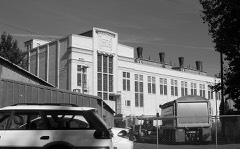 Seattle Electric Company Georgetown Steam PlantNational Historic Landmark · listed 1978
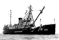 USCGC FIRNational Historic Landmark · listed 1992
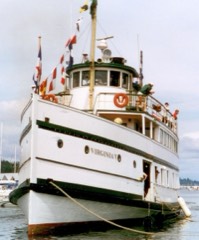 VIRGINIA VNational Historic Landmark · listed 1973
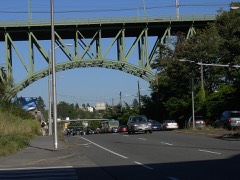 12th Avenue South Bridgelisted 1982
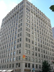 1411 Fourth Avenue Buildinglisted 1991
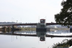 14th Avenue South Bridgelisted 1982
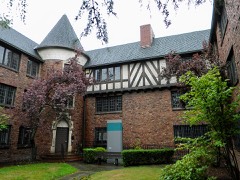 1600 East John Street Apartmentslisted 2013
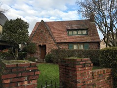 1926 Model Brick Homelisted 2016
Population over time
2 figuresSeattle grew from 608,660 to 737,015 between 2010 and 2020. These are the recorded population figures Wikidata holds for this place, reached through the Geographic Names Information System number this page is keyed on rather than by name, so they belong to this place and not to another of the same name. Most are census counts, but not all are: an early figure may be a founding or settlement estimate, and an estimate published within five years of a census is left out. The change column is computed, and is left blank where more than 20 years separate a figure from the one before it, because a gap that long is not a change between two counts.
| Year | People | Change |
|---|---|---|
| 2010 | 608,660 | |
| 2020 | 737,015 | +128,355 (+21%) |
Topographic sheets covering this place
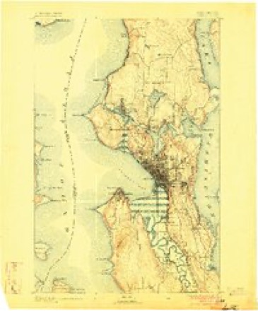
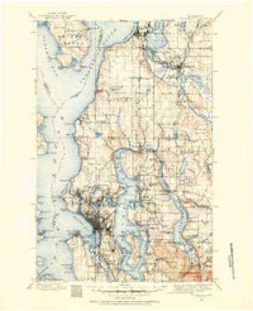
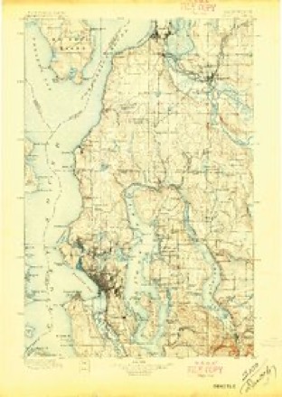
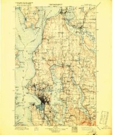
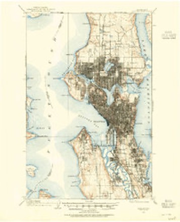
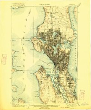
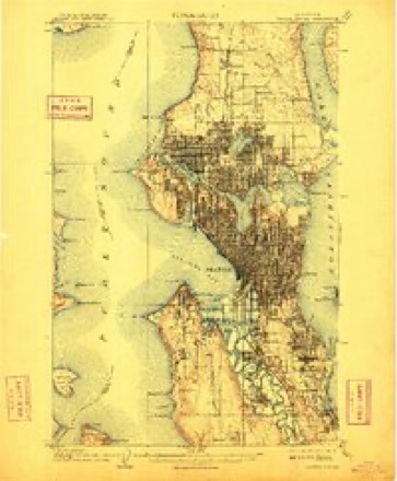
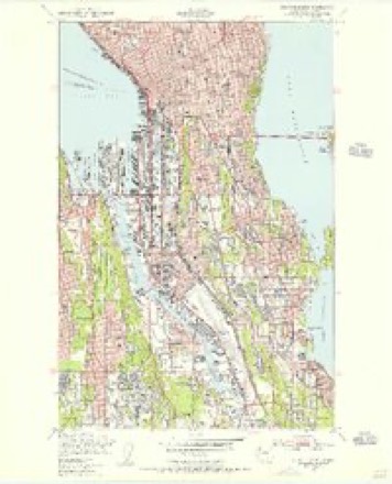
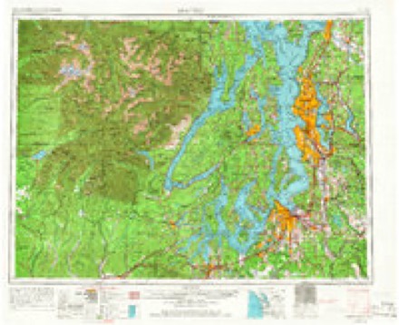
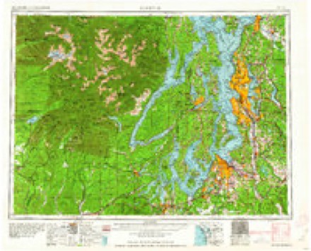
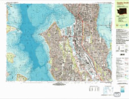
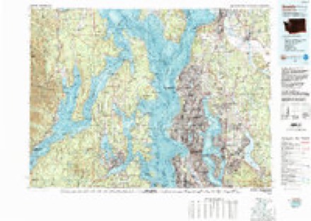
13 surveys from 32 printed sheetsMatched by testing this settlement's coordinate against the published boundary of every sheet in the United States Geological Survey's historical collection. Each opens the scanned sheet at the Survey.
- 1894 USGS Seattle quadrangle1:62500, 2 printings
- 1895 USGS Snohomish quadrangle1:125000
- 1897 USGS Seattle quadrangle1:125000, 5 printings
- 1897 USGS Snohomish quadrangle1:125000, 5 printings
- 1908 USGS Seattle quadrangle1:62500, 2 printings
- 1909 USGS Seattle quadrangle1:62500, 2 printings
- 1909 USGS Seattle Special quadrangle1:62500, 2 printings
- 1949 USGS Seattle South quadrangle1:24000, 3 printings
- 1958 USGS Seattle quadrangle1:250000, 3 printings
- 1962 USGS Seattle quadrangle1:250000
- 1975 USGS Seattle quadrangle1:100000
- 1983 USGS Seattle South quadrangle1:25000, 3 printings
- 1992 USGS Seattle quadrangle1:100000, 2 printings
What the histories say of this town
212,824 words2 chapters about Seattle from the published histories of the county, public domain and reproduced complete.
| Chapter | From | Length |
|---|---|---|
| History, 1891 | History of Seattle, Washington with Illustrations and Biographical Sketches of Some of Its Prominent Men and Pioneers .. (1891) | 210,205 words in 14 parts |
| History, 1916 | History and Progress of King County, Washington .. (1916) | 2,619 words |
Fires near this place
1 since 2017Regional context, not property-specific evidence. The federal wildfire occurrence database lists 1 fire within 5 miles of Seattle in 2017, burning about 4 acres in total. None started naturally. None was recorded as arson. Distance is straight-line from the map coordinates, so a fire counted here may appear on a neighbouring settlement's page as well.
| Reported cause | Fires |
|---|---|
| Debris and open burning | 1 |
The most recent of them, most recent first, with the day each was reported and the service that recorded it.
| Date | Cause | Size | Reported by | Name on the report |
|---|---|---|---|---|
| 24 September 2017 | Debris and open burning | 4.3 acres | Washington State Department of Natural Resources Headquarters | 8TH AVE |
Settlements close enough to share some of these fires:
Mines and quarries near this place
2 within 5 milesRegional context, not property-specific evidence. The federal mineral resources record lists 2 workings within 5 miles of Seattle: 2 past producers. None of them still produces. What was taken out: Sand and Gravel, Construction. Distance is straight-line from the map coordinates, so a quarry counted here may appear on a neighbouring settlement's page as well.
| Where | Site | Commodity | Status | Recorded |
|---|---|---|---|---|
| Unnamed Pit | Sand and Gravel, Construction | Past Producer | ||
| Unnamed Pit | Sand and Gravel, Construction | Past Producer |
Storms near this place
8 since 1996Regional context, not property-specific evidence. The National Weather Service names Seattle in 8 storm reports between 1996 and 2015: 2 lightning, 1 flood, 1 thunderstorm wind, 1 tornado. The reports record 1 death. Each account below is quoted exactly as the forecast office filed it, from the NOAA Storm Events Database, and each date opens the federal record of that event.
| When | Event | Place named | Harm | What the report says |
|---|---|---|---|---|
| December 2006 | Flash Flood | Seattle | 1 killed, $750,000 | In the Madison Valley area of Seattle, heavy rainfall produced excessive street runoff, flooding about 25 basements and drowning one woman trapped in her basement by rapidly rising water. |
| February 2000 | Thunderstorm Wind | Seattle | $25,000 | A microburst with winds estimated at 50 mph hit West Seattle knocking down a few trees, damaging two homes and a car. |
| October 2015 | Heavy Rain | Seattle | $10,000 | In Shoreline, heavy rainfall caused a section of concrete to give way in the tunnel leading to a Metro bus barn under the I-5 HOV lanes between 165th and 175th Streets. Repairs to those lanes were completed two days later. |
| July 2013 | Lightning | Seattle | $5,000 | One lightning strike damaged a transformer, which knocked out power to customers in Shoreline. |
| December 1996 | Lightning | Seattle | $3,500 | no account filed |
| May 2010 | Funnel Cloud | Seattle | - | Some bicycles were tossed and a tent blew apart at Genesee Park in the Rainier Valley of Seattle. |
| June 2001 | Tornado (F0) | Seattle | - | A very weak tornado tossed a teacher and a few children into the air. No one was injured. |
| September 1996 | Flood | Seattle | - | no account filed |
Nearest settlements
The eight closest, with where each one stands in the county. Distances are straight-line, computed from the Geographic Names Information System coordinates.
| Map | Place | Distance | Sheets |
|---|---|---|---|
| Denny Regrade | 0.7 miles | 32 | |
| Yesler Terrace | 0.9 miles | 32 | |
| Belltown | 1.2 miles | 32 | |
| Capitol Hill | 1.4 miles | 32 | |
| Mann | 1.8 miles | 32 | |
| Madrona | 1.9 miles | 32 | |
| Broadway | 1.9 miles | 31 | |
| Stevens | 2.1 miles | 31 |
Elsewhere
Matched on this settlement's Geographic Names Information System number rather than its name, so it cannot be a different place of the same name in another state.
| Wikipedia article on Seattle | An encyclopaedic summary. Its text is share-alike, so it is linked here rather than copied. |
| Wikidata item Q5083 | The structured record the population and elevation above come from. Public domain (CC0). |
Provenance
This settlement is recorded in the Geographic Names Information System as feature 1512650. The sheet list is computed by point-in-boundary test against the United States Geological Survey's historical topographic inventory. Both are works of the United States government and carry no copyright under 17 U.S.C. 105.
Wildfire. Short, Karen C. 2022. Spatial wildfire occurrence data for the United States, 1992-2020 [FPA_FOD_20221014]. 6th Edition. Fort Collins, CO: Forest Service Research Data Archive. https://doi.org/10.2737/RDS-2013-0009.6 Collected with United States Government funding and usable without additional permissions or fees.
Mines and quarries. USGS Mineral Resources Data System (MRDS) https://mrdata.usgs.gov/mrds/ A work of the United States government, no copyright under 17 U.S.C. 105.
Storms. NOAA National Centers for Environmental Information, Storm Events Database https://www.ncei.noaa.gov/stormevents/ A work of the United States government, no copyright under 17 U.S.C. 105. Narratives are quoted verbatim from the National Weather Service report and are not edited or summarised.