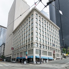
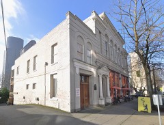
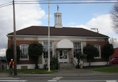
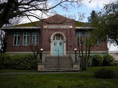
324 National Register listings published here, 9 of them National Historic Landmarks · the county-history sources tell 3 stories and name 2 people · people the book names include Hugh M. Caldwell (Seattle, 1916) (machine-read).
Washington within the United StatesKing County within Washington
What the record shows
9,758 topographic sheet readings cover the county's settlements.
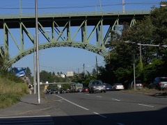
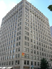
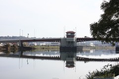
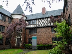
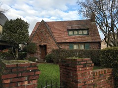
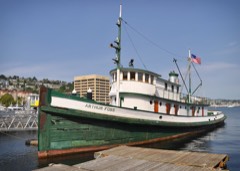
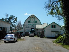
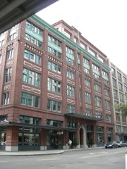
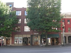
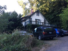
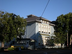
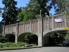
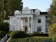
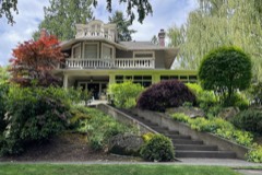
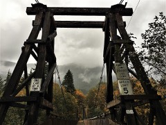
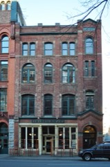
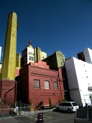
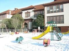
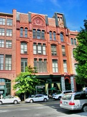
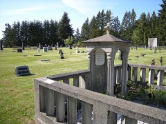
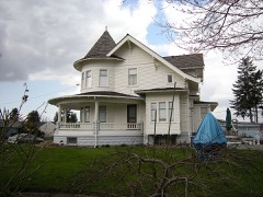
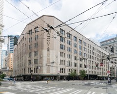
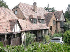
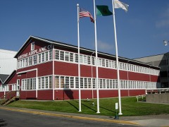
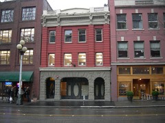
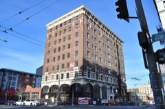
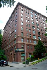
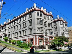
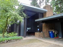
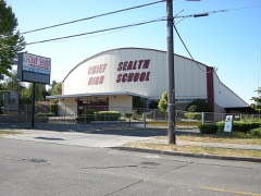
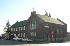
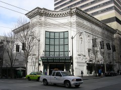
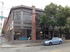
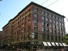
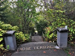
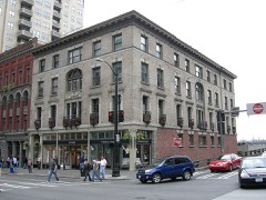
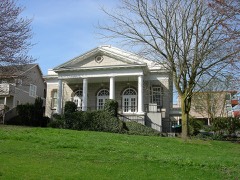
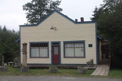
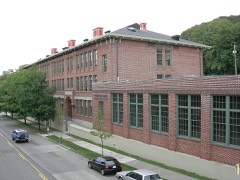
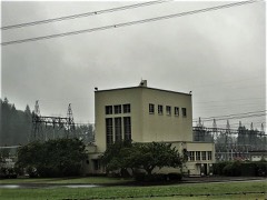
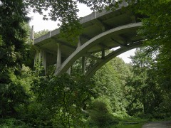
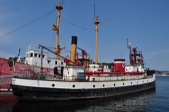
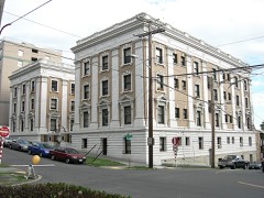
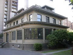
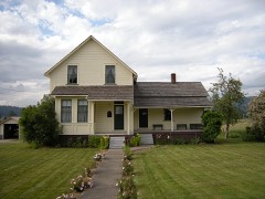
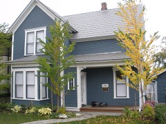
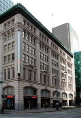
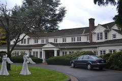
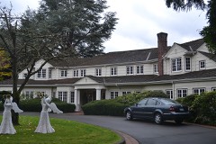
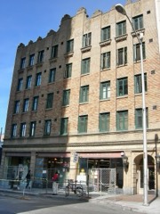
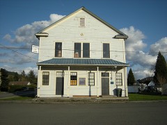
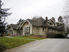
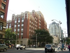
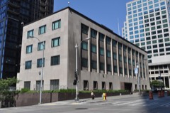
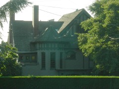
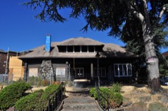
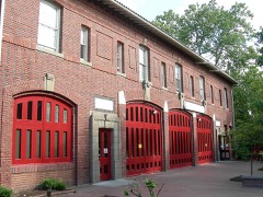
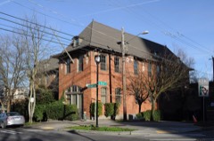
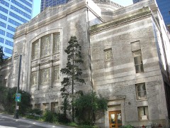
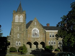
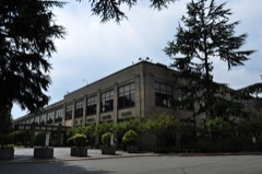
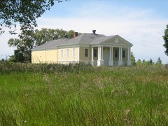
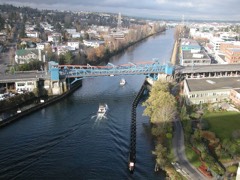
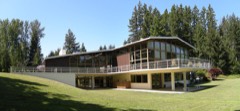
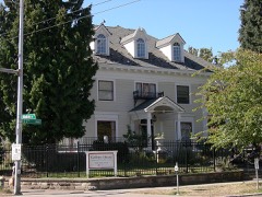
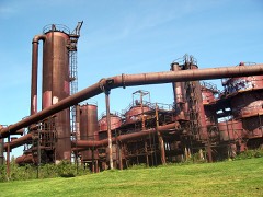
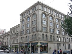
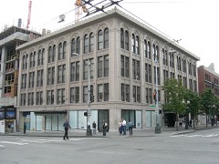
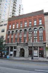
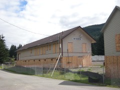
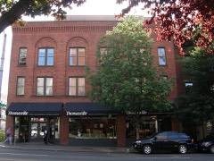
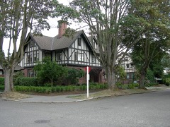
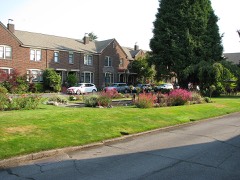
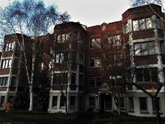
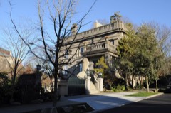
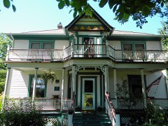
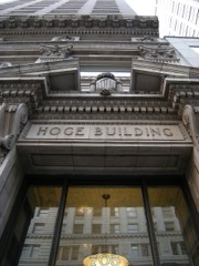
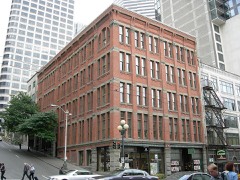
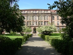
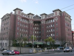
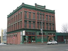
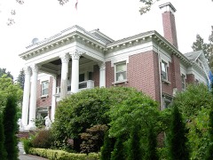
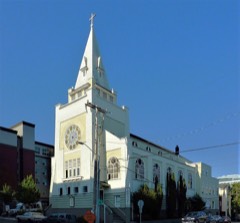
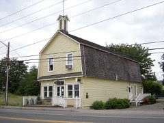
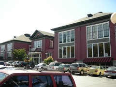
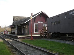
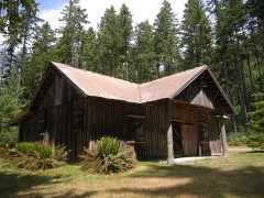
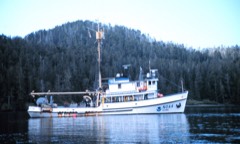
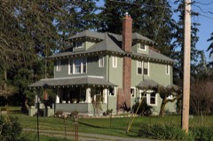
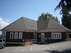
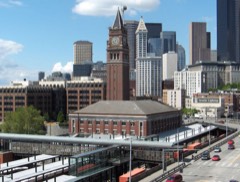
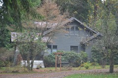
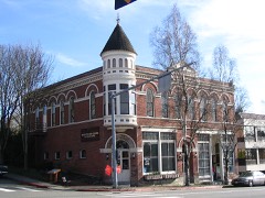
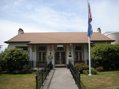
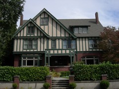
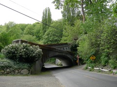
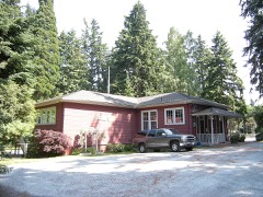
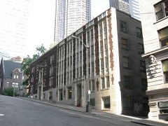
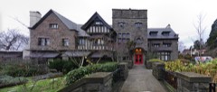
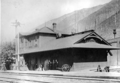
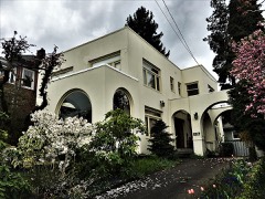
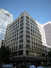
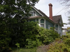
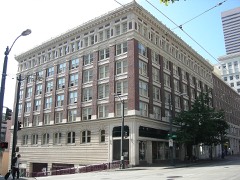
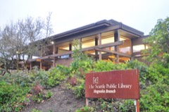
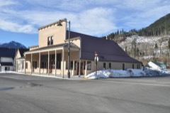
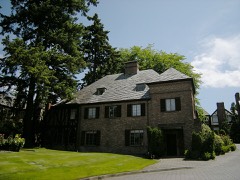
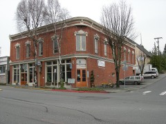
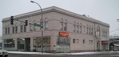
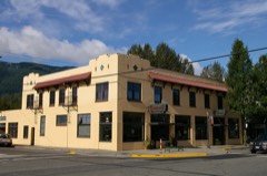
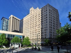
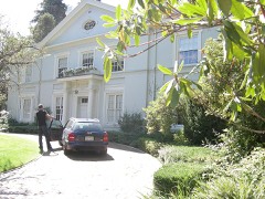
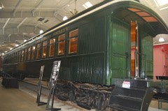
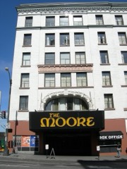
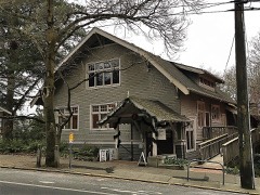
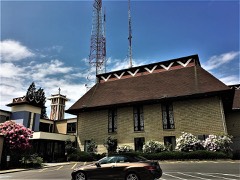
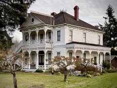
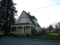
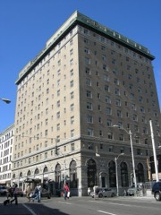
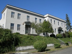
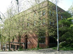
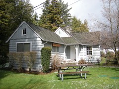
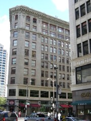
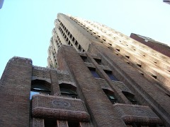
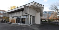
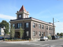
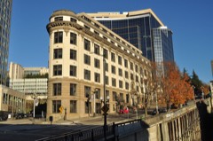
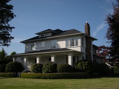
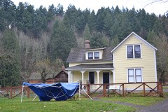
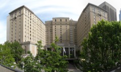
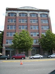
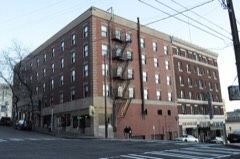
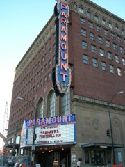
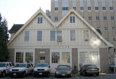
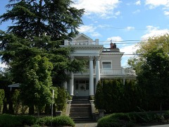
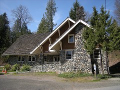
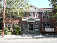
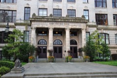
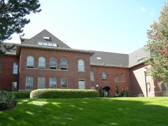
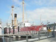
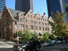
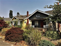
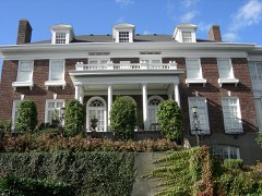
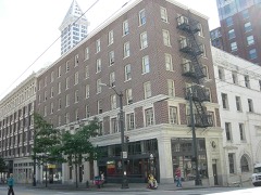
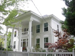
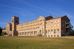
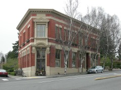
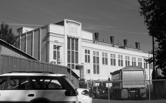
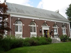
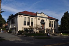
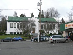
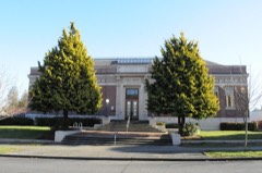
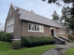
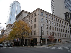
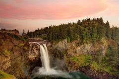
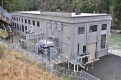
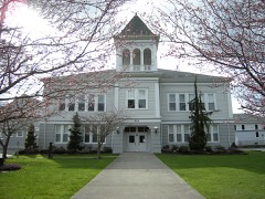
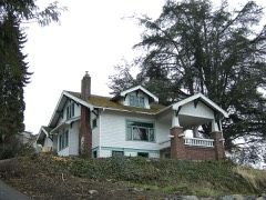
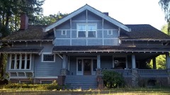
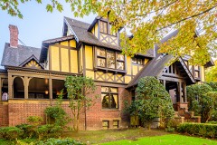
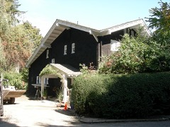
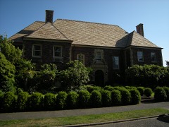
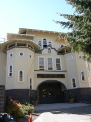
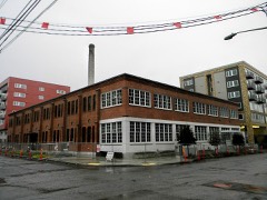
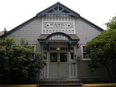
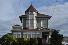
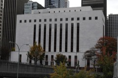
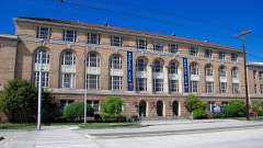
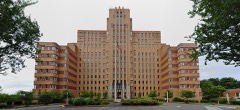
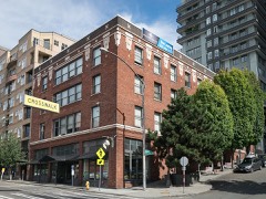
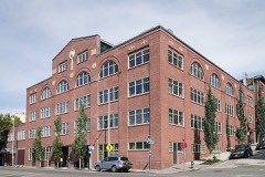
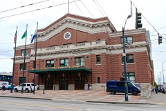
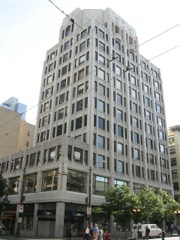
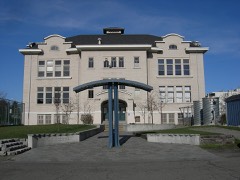
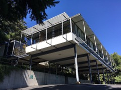
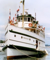
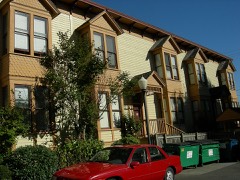
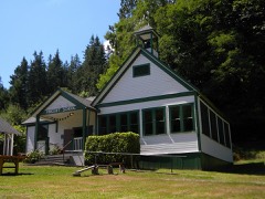
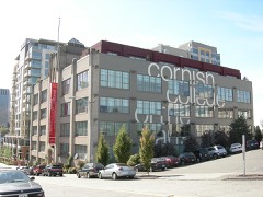
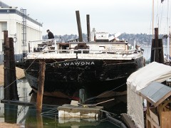
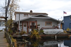
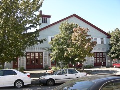
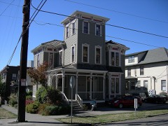
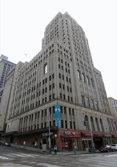
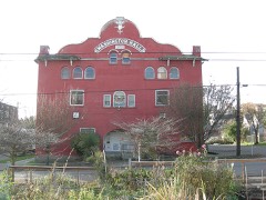
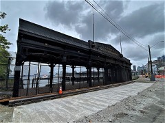
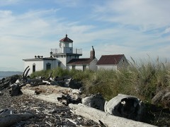
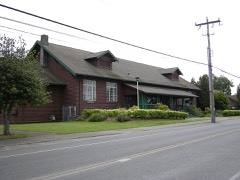
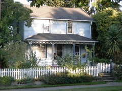
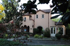
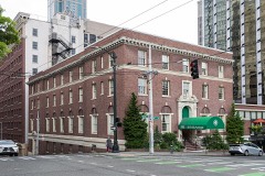
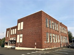
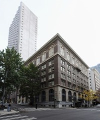
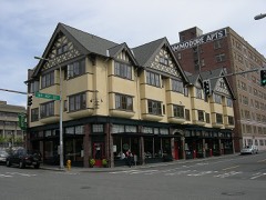
324 properties here are on the National Register of Historic Places: 234 buildings, 43 structures, 35 districts, 11 sites and 1 object.
77 of the 324 listings were added during the 1970s.
The Geographic Names Information System records 409 populated places in this county; 404 are covered by at least one topographic sheet.
What happened here
3 accounts
Among them: Chapter Hi; Chapter Vii The Anti-Chinese Agitation; Ciiaptkr Iii. These passages come from the
identified county-history source books. Each inset names its own source
and opens the exact section it comes from.
Relations of the Puget Sound Settlers and Native Indians Preceding the War - Causes which Engendered Distrust and 111 Feeling - Condition of Washington Territory at the Beginning of the War - First Acts of Hostility - Murder of Ciold Seekers - Expedition of Major Haller - Arrival of the War Ship Decatur - The White River Massacre - Building of Block Houses - Seattle's First Militar\' Company - Indian Depredations Near Seattle - How the City was Guarded - Attack on the Town - Incidents of the Siege - Effects of the War upon the City and Country 95
Causes which Produced the Agitation - State of Public Feeling Toward the Chinese - Murder of Chinese Laborers at Rock Springs - ^The Squak Massacre - Meeting of the Anti-Chinese Congress at Seattle - Expulsion of the Chinese from Tacoma and other Sound Points - Mass Meeting at Krye's Opera House - President Cleveland's Proclamation - Arrival of United States Troops - The Conspiracy Trial - Efforts to Forcibly Drive the Chinese from Seattle - How the Plans of the Agitators were Opposed - Action of the Home Guards and tK)cal Military Companies - Governor Squire's Proclamation - ^The Chinese Driven from their Homes to the Ocean Dock and Placed on the Steamer Queen of the Pacific - Arrest of Several Agitators - Chinamen taken from the Steamer by Order of Chief Justice Greene - ^Their Examination in Court - Departure of the Steamer with many Chinamen - Attempt to Escort those who Remained back to their Homes - The Home Guards Attacked by the Mob - Scenes and Incidents which Kolloweil - Killing of Stewart - Martial Law Declared - ^The City Under Military Rule - Services Rendered by the Home Guards and Local Military- Companies - President Cleveland's Proclamation - Second Coming of United States Troops - The Home Guards Defended - How Law and Order was Maintained by the Citizen Soldiery - ^Trial of Conspirators - Martial Law Revoked - The City Turneil over to the Civil Authorities - Review of the Anti-Chinese Agitation in Seattle 1H7
Relatiou^ of the Puget Sound Settlers and Native Indians Preceding the War - Causes which Engendered Distrust and lU Feeling - Condition of Washington Territory at the Beginning of the War - First Acts of Hostility - Murder of Gold Seekers - Expedition of Major Haller - Arrival of the War Ship Decatur - The White River Massacre - Building of Block Houses - Seattle's First Military Company - Indian Depredations Near Seattle - How the City was (lUarded - Attack on the Town - Incidents of the Siege - Effects of the War upon the City and Country.
Every wildfire the federal occurrence
database records inside this county: 538 of them, burning
about 2,512 acres. 70 started naturally and 21 were recorded as arson. Each settlement page carries the fires within
five miles of it.
Reported cause
Fires
Recreation and ceremony
279
Missing data/not specified/undetermined
71
Natural
70
Debris and open burning
39
Arson/incendiarism
21
Smoking
16
Equipment and vehicle use
16
Fireworks
11
Power generation/transmission/distribution
5
Misuse of fire by a minor
4
Railroad operations and maintenance
4
Other causes
2
The five largest, by the area the report
gives. One of them was set deliberately.
Date
Cause
Size
Reported by
Name on the report
4 September 2017
Missing data/not specified/undetermined
1,061 acres
Washington State Department of Natural Resources Headquarters
SAWMILL CREEK
11 August 2017
Missing data/not specified/undetermined
360 acres
Mt. Baker-Snoqualmie National Forest
QUARRY
2 January 1995
Debris and open burning
290 acres
Washington State Department of Natural Resources Headquarters
not named
6 June 1992
Railroad operations and maintenance
252 acres
Washington State Department of Natural Resources Headquarters
not named
8 September 2020
Missing data/not specified/undetermined
132 acres
Washington State Department of Natural Resources Headquarters
FISH
15 July 2017
Arson/incendiarism
46 acres
Washington State Department of Natural Resources Headquarters
TOKUL
17 August 2001
Recreation and ceremony
40 acres
Washington State Department of Natural Resources Headquarters
not named
26 August 1992
Equipment and vehicle use
40 acres
Washington State Department of Natural Resources Headquarters
not named
Every settlement page carries the fires within five
miles of it - see the settlement index below.
Storms,
1956 to 2023
60 of 83 shown
The
NOAA Storm Events Database holds
83 reports for this county, causing 2 deaths, 24 injuries and about $117,027,500 in recorded property damage.
Each settlement page carries the reports that name it.
Kind of event
Reports
Lightning
22
Heavy Rain
22
Funnel Cloud
11
Thunderstorm Wind
7
Flood
7
Tornado
5
Hail
4
Debris Flow
4
Flash Flood
1
The most serious of them, by death, then
injury, then recorded damage. The accounts are quoted exactly as the
forecast office filed them.
In the Madison Valley area of Seattle, heavy rainfall produced excessive street runoff, flooding about 25 basements and drowning one woman trapped in her basement by rapidly rising water.
Heavy rain and snow melt on saturated soils caused a landslide in this residential neighborhood, believed to have swept away or buried a man. The slide area is the size of multiple football fields and 15 feet deep.
Two people, a 30 year old woman and a 24 year old man, suffered minor injuries after being struck by lightning. Both were indirect hits, with one of the strikes travelling through a chain link fence before zapping the woman.
Heavy rain on top of saturated soils triggered a landslide that knocked a house off it's foundation, collapsing one level - destroying it and trapping the inhabitants. One man was trapped under debris and injured and had to be extricated by Seattle Fire Department. A woman was also pinned under debris but was able to escape. One dog was killed and another was found a week later in the debris and extricated. At the time, 1 to 2 inches of rain had fallen in the area in the previous 48 hours with the Seattle Antecedent Rainfall Index already high, above the threshold for heavy rain-induced landslides.
A lightning strike cause minor damage to a home and minor injuries to the homeowner when he was blown across the room. After the lightning strike a fire started which caused nearly $100,000 damage to the house.
Heavy rain and storm runoff damaged the West Point sewage treatment plant in Seattle. King county dumped an estimated 235 million gallons of untreated wastewater - including 30 million gallons of raw sewage - into Puget Sound because of damage to the plant. The plant could not perform full wastewater treatment as required by the state permit until May 9th, as reported by the Seattle Times.
The cities of Snoqualmie, Carnation, Duvall and Fall City flooded, some residents had to be rescued, many homes were flooded. The Issaquah creek flooded some residences and businesses. It also eroded part of the riverbank, which caused a guest house to fall into the creek. About 40 King County roads were closed. In Pacific, about 1000 people evacuated their homes due to flooding from releases from the Mud Mountain dam, 100 of those homes were damaged, some with 3 feet of water in them.
Four apartment buildings were evacuated in North Seattle, where some basement apartments had 3 feet of water in them. About 30 people were evacuated from apartments in Woodinville. Many roads were closed, including parts of SR 522, water over I-405 led to heavy traffic all day. About 20 roads were damaged throughout the county. Nearly 5 inches of rain fell at SeaTac airport. Nathan Hale High School in north Seattle was closed for a week due to water damage from Thorton Creek for the first time ever. A few homes and businesses had water damage.
Record flooding occurred on the Cowlitz, Nooksack, Puyallup, Nisqually, |Skykomish, Stillaguamish, Carbon, Snoqualmie, and Bogachiel. Major flooding occurred on the Tolt, Snohomish, Skokomish, Skagit, and White rivers. Other rivers flooding were the Satsop, Cedar, Wynoochee, Elwha, Deschutes, Dungeness, Skookumchuck, and Chehalis.
There was major flooding along the Snoqualmie River. Westside Hwy on Vashon island was closed due to a portion of the road sinking. Some basements flooded as China Creek in Newcastle, overflowed. Several roads around North Bend and Carnation were closed due to flooding.
Up to 2 inches of rain fell during the day, causing a sinkhole to develop under a road in Woodinville and flooding several businesses in Kirkland. Freeway ramps were closed off of I-405 in Kirkland and there was ankle high water at intersections. A sinkhole also developed near a West Seattle home, flooding the basement. In Rainier Valley several businesses were flooded. Seattle Goodwill's downtown building suffered water damage.
Heavy rain swelled a creek that undermined the foundation of a US Hwy 2 bridge outside of Skykomish, closing a 15-mile stretch of the highway for about a week.
An unoccupied Pacific home was destroyed after it was hit by a slide on West Valley Highway. The force of the slide knocked down several walls of the house and knocked the home off its foundation. A road was destroyed in Index (Sunset Falls). Other slide locations across roadways were in the City of Snoqualmie, Thurston County, West Valley Highway in Auburn, Marine View Drive from East 11th Street to Slayden Road in Tacoma, Vashon Islands Dockton Road, on the narrow strip of land connecting Vashon and Maury islands, mudslide struck a car east of Sedro Woolley when mud and debris came down on the South Skagit Highway, Maxwell Road in Maple Valley slid out, Mulkilteo (2 slides), westbound lanes of Highway 20 east of Concrete, Mukilteo again, Des Moines rolled down into a parking lot at an apartment complex along 277th block 6th Place South; hit cars, southbound US 101 near Hoodsport.
Heavy rain flooded a Qwest copper cable, which disrupted phone service to 1,500 customers. 26 homes in Seattle's Madison valley neighborhood suffered damage, when a storm water overflow tank backed up.
Storms moving through Western Washington brought lightning, heavy rain and hail. Lightning hit trees in the Fremont and Green Lake neighborhoods, in one case sparking a garage fire. Power was knocked out to about 2000 customers in northeast Seattle and crews worked to replace 24 transformers damaged by lightning.
A tree and power lines fell across cars in a parking lot at Green River Community College in Auburn. Classes were canceled for the rest of the day due to a power outage.
About 8600 Seattle City Light customers lost power. About 300 homes in the Sammamish area lost power and one had a tree fall on it. In Maple valley a lumber storage building had its roof ripped off.
The Snoqualmie Falls golf course in Fall City and parts of Highway 202 were flooded after the Snoqualmie river near Carnation reached major flood stage.
In Shoreline, heavy rainfall caused a section of concrete to give way in the tunnel leading to a Metro bus barn under the I-5 HOV lanes between 165th and 175th Streets. Repairs to those lanes were completed two days later.
South of Issaquah, a tree fell and struck a woman standing on her porch. The woman suffered a broken hip. A lightning strike sparked a gas leak in a Sammamish neighborhood, it hit a house, then went through the gutter system and ruptured a buried gas line 100 feet away and causing flammable gas to spew into the air.
A lightning strike drove a couple out of their home in the south Seattle suburb of Federal Way.||The lightning late Wednesday afternoon hit a tree in the elderly couples front yard and traveled through the root system to the home. The lightning blew out drywall in the house, damaged the gutters and caused a gas line to rupture.
A record rainfall of 1.51 inches fell at the National Weather Service office in Seattle. This broke the previous daily record of 1.39 inches set in 1946.
A record rainfall of 1.88 inches was recorded the National Weather Service office in Seattle. This broke the previous daily record of 1.82 inches set in 1933.
A funnel cloud was observed from the Seattle NWS forecast office.
Mines and
quarries
474 recorded
The Survey's mineral resources record
lists 474 workings inside this county. 19 still produce and 455 are closed or unrecorded. Each
settlement page carries the workings within five miles of it.
Commodity
Workings
Sand and Gravel, Construction
165
Gold
85
Copper
62
Silver
40
Stone, Crushed/Broken
26
Limestone, General
23
Silver, Gold
16
Iron
14
Silver, Copper
11
Silica
10
Arsenic
9
Antimony
8
Aluminum
8
Zinc
7
The least common of them first, because a
county's hundredth gravel pit says nothing its first ten did not.
History and Progress of King County, Washington .. (1916)
2,619 words
The county's history books
36,806 words
One book written about this county, cut here
where the book itself is cut, at its printed chapters: 1 chapter in all.
Every chapter is public domain, machine-read from the scan and
reproduced complete. A chapter already given under one of the county's
towns is not repeated in this list.
History and Progress of King County, Washington .. (1916)
Everyone History and Progress of King County, Washington .. stops to write about, with
the section that describes them. Among them are the men who founded the
place and governed the Territory. Each name opens the passage itself, in
the words of 1916.
Named settlements recorded in the Geographic Names
Information System, each with the topographic sheets covering it. Villages,
hamlets and abandoned places alike. Each is shown with the nearest named
watercourse or landform and the survey quadrangle it falls on.
Topographic sheets. USGS Historical Topographic Map Collection, county index, measured from the bulk metadata.
Fire insurance maps. Library of Congress Sanborn collection, faceted to this county.
Photographs. Each place queried individually against the Library of Congress Prints and Photographs search.
Wildfire. Short, Karen C. 2022. Spatial wildfire occurrence data for the United States, 1992-2020 [FPA_FOD_20221014]. 6th Edition. Fort Collins, CO: Forest Service Research Data Archive. https://doi.org/10.2737/RDS-2013-0009.6 Collected with United States Government funding and usable without additional permissions or fees.
Mines and quarries. USGS Mineral Resources Data System (MRDS) https://mrdata.usgs.gov/mrds/ A work of the United States government, no copyright under 17 U.S.C. 105.
Storms. NOAA National Centers for Environmental Information, Storm Events Database https://www.ncei.noaa.gov/stormevents/ A work of the United States government, no copyright under 17 U.S.C. 105. Narratives are quoted verbatim from the National Weather Service report and are not edited or summarised.
 Block