 Block
Thavis, Washington
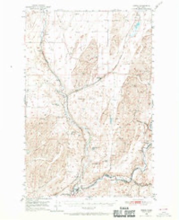
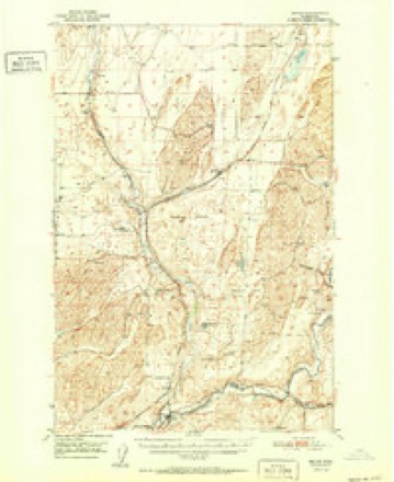
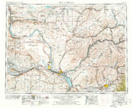
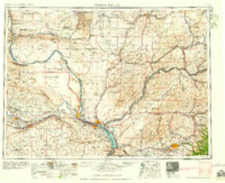
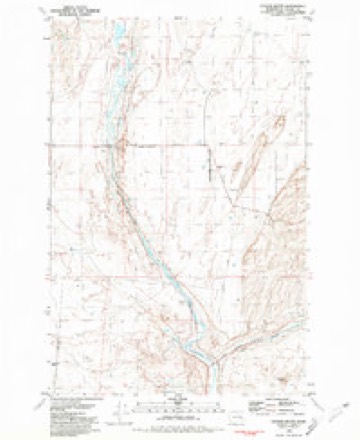
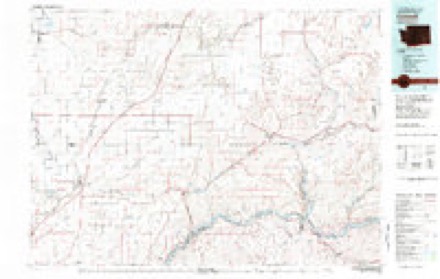
9 topographic sheets cover this place, the earliest surveyed in 1950 and the latest in 1983. It stands in the Lind-Washtucna census division. It lies in ZIP code area 99169. The Survey maps it on the Coyote Butte quadrangle.
Topographic sheets covering this place
6 surveys from 9 printed sheetsMatched by testing this settlement's coordinate against the published boundary of every sheet in the United States Geological Survey's historical collection. Each opens the scanned sheet at the Survey.
- 1950 USGS Benge quadrangle1:62500, 2 printings
- 1952 USGS Benge quadrangle1:62500
- 1953 USGS Walla Walla quadrangle1:250000, 3 printings
- 1958 USGS Walla Walla quadrangle1:250000
- 1981 USGS Coyote Butte quadrangle1:24000
- 1983 USGS Connell quadrangle1:100000
Nearest settlements
The eight closest, with where each one stands in the county. Distances are straight-line, computed from the Geographic Names Information System coordinates.
Elsewhere
Matched on this settlement's Geographic Names Information System number rather than its name, so it cannot be a different place of the same name in another state.
| Wikidata item Q122572371 | The structured record the population and elevation above come from. Public domain (CC0). |
Provenance
This settlement is recorded in the Geographic Names Information System as feature 1511367. The sheet list is computed by point-in-boundary test against the United States Geological Survey's historical topographic inventory. Both are works of the United States government and carry no copyright under 17 U.S.C. 105.