 Block
From the record
One of 68 National Register listings published here for Thurston County · listed in 1995 · category: Site.
Sources: the case file at the National Archives · the National Register database, National Park Service
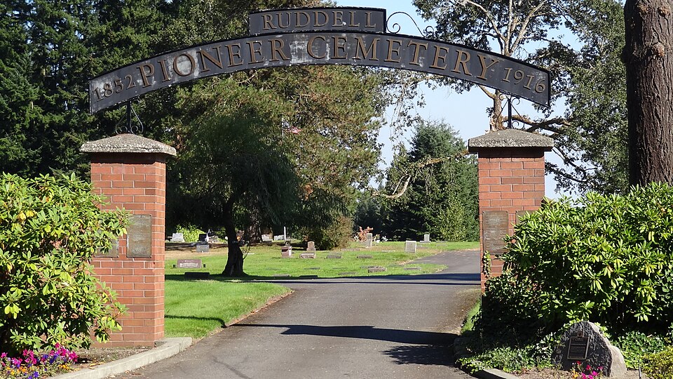
Listed on the National Register of Historic Places in 1995.
One of 68 National Register listings published here for Thurston County · listed in 1995 · category: Site.
Sources: the case file at the National Archives · the National Register database, National Park Service
Regional context, not property-specific evidence. The federal wildfire occurrence database lists 245 fires within 5 miles of Chamber's Prairie-Ruddell Pioneer Cemetery between 1992 and 2020, burning about 200 acres in total. 2 started naturally. 13 were recorded as arson. Distance is straight-line from the map coordinates, so a fire counted here may appear on a neighbouring settlement's page as well.
| Reported cause | Fires |
|---|---|
| Missing data/not specified/undetermined | 61 |
| Recreation and ceremony | 52 |
| Debris and open burning | 48 |
| Misuse of fire by a minor | 20 |
| Railroad operations and maintenance | 14 |
| Arson/incendiarism | 13 |
| Fireworks | 13 |
| Equipment and vehicle use | 10 |
| Smoking | 9 |
| Natural | 2 |
| Other causes | 2 |
| Power generation/transmission/distribution | 1 |
The most recent of them, most recent first, with the day each was reported and the service that recorded it.
| Date | Cause | Size | Reported by | Name on the report |
|---|---|---|---|---|
| 8 September 2020 | Missing data/not specified/undetermined | under an acre | Washington State Department of Natural Resources Headquarters | I-5 TRAIL SE |
| 8 September 2011 | Missing data/not specified/undetermined | under an acre | Washington State Department of Natural Resources Headquarters | SEVEN OAKS |
| 8 September 1993 | Debris and open burning | under an acre | Washington State Department of Natural Resources Headquarters | not named |
| 7 September 1992 | Misuse of fire by a minor | under an acre | Washington State Department of Natural Resources Headquarters | not named |
| 6 September 1999 | Recreation and ceremony | under an acre | Washington State Department of Natural Resources Headquarters | not named |
| 5 September 1998 | Misuse of fire by a minor | 1.5 acres | Washington State Department of Natural Resources Headquarters | not named |
| 4 September 2020 | Missing data/not specified/undetermined | under an acre | Washington State Department of Natural Resources Headquarters | TOLMIE |
| 4 September 2014 | Missing data/not specified/undetermined | under an acre | Washington State Department of Natural Resources Headquarters | RIVER RIDGE |
Regional context, not property-specific evidence. The federal mineral resources record lists 17 workings within 5 miles of Chamber's Prairie-Ruddell Pioneer Cemetery: 13 past producers, 3 producers, 1 prospect. 3 still produce. What was taken out: Sand and Gravel, Construction, Iron. Distance is straight-line from the map coordinates, so a quarry counted here may appear on a neighbouring settlement's page as well.
| Where | Site | Commodity | Status | Recorded |
|---|---|---|---|---|
| St. Clair Lake | Iron | Prospect | ||
| Deschutes Pit | Sand and Gravel, Construction | Producer | ||
| Fleetwood Pit | Sand and Gravel, Construction | Past Producer | ||
| Gleason Kearney Pit | Sand and Gravel, Construction | Past Producer | ||
| Grove Pit | Sand and Gravel, Construction | Past Producer | ||
| Lacey Pit | Sand and Gravel, Construction | Producer | ||
| O & K Trucking Co. Pit | Sand and Gravel, Construction | Past Producer | ||
| Olympia Sand & Gravel Co. Pit | Sand and Gravel, Construction | Producer | ||
| Spurgeon Pit | Sand and Gravel, Construction | Past Producer | ||
| Squires Pit | Sand and Gravel, Construction | Past Producer |
Regional context, not property-specific evidence. The National Weather Service names Lacey, the town this property stands in, in 4 storm reports between 2002 and 2006: 2 lightning, 1 funnel cloud, 1 tornado. The reports record 1 injury. Each account below is quoted exactly as the forecast office filed it, from the NOAA Storm Events Database, and each date opens the federal record of that event.
| When | Event | Place named | Harm | What the report says |
|---|---|---|---|---|
| June 2002 | Lightning | Lacey | 1 hurt | A 17 year old was struck by lightning while he was working outside. He sustained minor burns, some hearing loss and a headache. The tree next to him was stripped of its bark. |
| September 2002 | Lightning | Lacey | $20,000 | Lightning struck a garage, a DOT building and a tree in the Olympia area. The garage, filled with antiques, was destroyed. The DOT building lost power and the tree was split. |
| January 2006 | Tornado (F0) | Lacey | - | On the ground for less than 2 minutes. |
| June 2005 | Funnel Cloud | Lacey | - | A funnel cloud descended 1/3 way to ground. |
No historic map-sheet match is published for this property yet. That does not mean no map exists. This record needs a coordinate-quality review before it can be joined to a sheet boundary. Browse the county's mapped places while that work is pending.
Other National Register properties close enough to walk or drive between, ordered by distance from this one. Both positions come from the same geocoding pass that matched these properties to their map sheets.
| Photograph | Property | Distance | Listed |
|---|---|---|---|
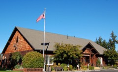 | Long Lake Recreation Hall | 1.3 miles | 1988 |
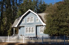 | Union Mills Superintendent's House | 2.3 miles | 1988 |
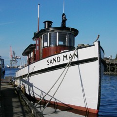 | SAND MAN (Tug Boat) | 3.8 miles | 1998 |
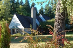 | F. W. Schmidt House | 3.8 miles | 1995 |
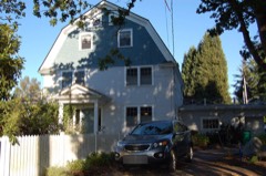 | Cloverfields | 3.8 miles | 1978 |
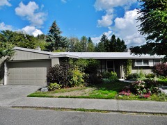 | Trueman and Virginia Schmidt House | 4.2 miles | 2015 |
| National Archives record | The nomination case file for reference 95000803 in Record Group 79. |
| Thurston County | All 68 listed properties in this county. |