Block
From the record
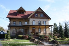
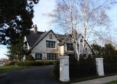
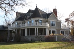
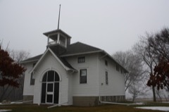
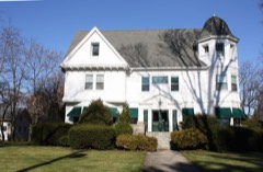
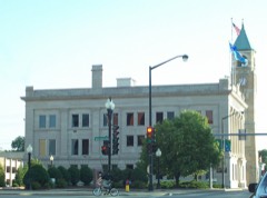
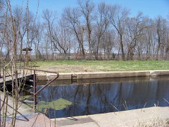
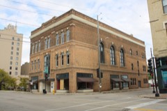
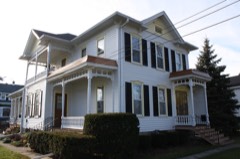
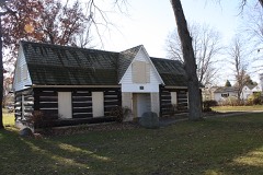
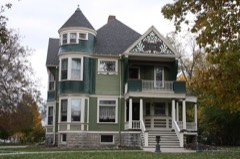
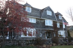
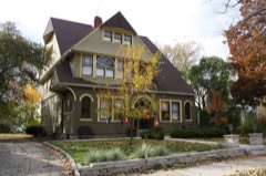
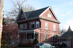
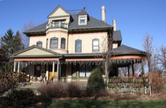
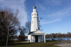
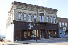
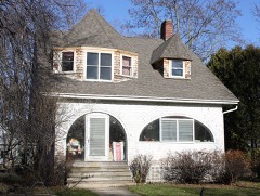
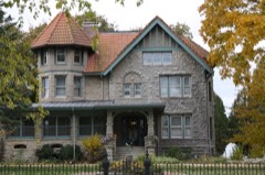
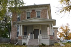
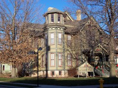
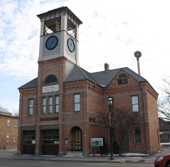
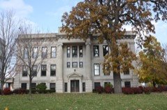
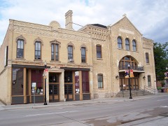
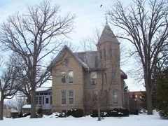
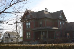
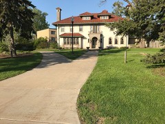
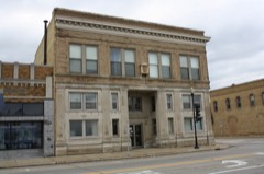
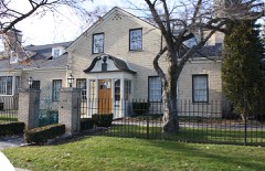
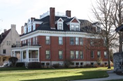
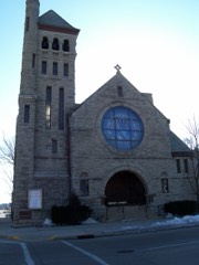
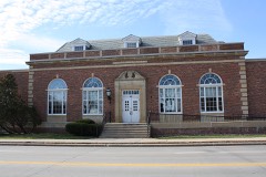
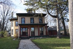
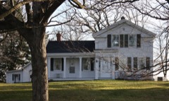
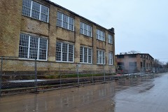
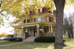
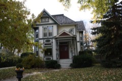
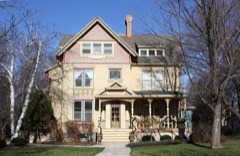
85 National Register listings published here.
Sources: the county history on the Internet Archive · the National Register database, National Park Service
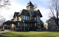
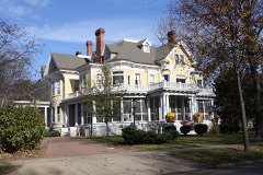
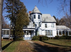
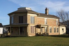
54 topographic sheets cover 58 settlements here, and 85 properties are on the National Register of Historic Places.
85 National Register listings published here.
Sources: the county history on the Internet Archive · the National Register database, National Park Service
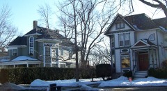
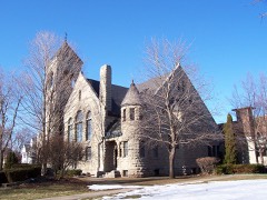
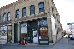
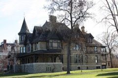
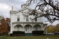
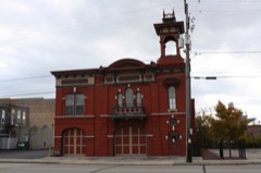
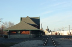
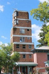
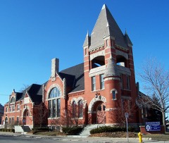
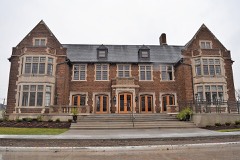
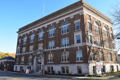
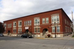
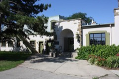
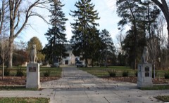
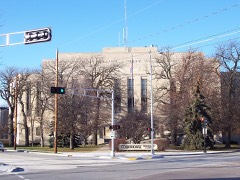
Every property in this county listed on the National Register of Historic Places, with the year it was listed and the federal nomination document.
Every wildfire the federal occurrence database records inside this county: 106 of them, burning about 2,700 acres. None started naturally and 5 were recorded as arson. Each settlement page carries the fires within five miles of it.
| Reported cause | Fires |
|---|---|
| Missing data/not specified/undetermined | 49 |
| Debris and open burning | 20 |
| Equipment and vehicle use | 15 |
| Smoking | 6 |
| Recreation and ceremony | 5 |
| Arson/incendiarism | 5 |
| Fireworks | 2 |
| Railroad operations and maintenance | 2 |
| Power generation/transmission/distribution | 1 |
| Misuse of fire by a minor | 1 |
The five largest, by the area the report gives. Two of them were set deliberately.
| Date | Cause | Size | Reported by | Name on the report |
|---|---|---|---|---|
| 27 January 2003 | Missing data/not specified/undetermined | 400 acres | Wisconsin Department of Natural Resources | BORTH FIRE |
| 3 April 2019 | Arson/incendiarism | 386 acres | Wisconsin Department of Natural Resources | MM |
| 15 April 2015 | Railroad operations and maintenance | 366 acres | Wisconsin Department of Natural Resources | RAT RIVER FIRE |
| 2 November 2020 | Arson/incendiarism | 320 acres | Wisconsin Department of Natural Resources | COUNTY MM FIRE |
| 31 May 2014 | Debris and open burning | 275 acres | Wisconsin Department of Natural Resources | CTH MM |
| 8 November 2020 | Equipment and vehicle use | 262 acres | Wisconsin Department of Natural Resources | HWY B |
| 18 April 2009 | Debris and open burning | 140 acres | Wisconsin Department of Natural Resources | not named |
| 18 March 2006 | Recreation and ceremony | 108 acres | Wisconsin Department of Natural Resources | not named |
Every settlement page carries the fires within five miles of it - see the settlement index below.
The NOAA Storm Events Database holds 411 reports for this county, causing 3 deaths, 63 injuries and about $60,955,000 in recorded property damage. Each settlement page carries the reports that name it.
| Kind of event | Reports |
|---|---|
| Thunderstorm Wind | 190 |
| Hail | 141 |
| Tornado | 31 |
| Funnel Cloud | 12 |
| Heavy Rain | 11 |
| Lightning | 9 |
| Flood | 7 |
| Flash Flood | 7 |
| Seiche | 2 |
| Waterspout | 1 |
The most serious of them, by death, then injury, then recorded damage. The accounts are quoted exactly as the forecast office filed them.
| When | Event | Place named | Harm | What the report says |
|---|---|---|---|---|
| April 1984 | Tornado (F4) | not stated | 1 killed, 10 hurt, $2,500,000 | no account filed |
| July 1997 | Thunderstorm Wind | Oshkosh | 1 killed, $150,000 | no account filed |
| June 2020 | Thunderstorm Wind | Lake Butte Des Morts | 1 killed | Thunderstorm winds capsized a boat on Lake Butte des Morts. Two people and a dog were in the boat. One person and the dog survived. A 61 year old male was found dead along the shoreline the next day. |
| April 1974 | Tornado (F4) | not stated | 35 hurt, $2,500,000 | no account filed |
| May 1964 | Tornado (F2) | not stated | 5 hurt, $2,500,000 | no account filed |
| August 2010 | Thunderstorm Wind | Neenah | 4 hurt | A tree and several large limbs were blown over by thunderstorm winds at Riverside Park during a concert. Four people were taken to a hospital with non-life threatening injuries. |
| July 2015 | Thunderstorm Wind | (Osh)Wittman Fld Osh | 3 hurt | Thunderstorm winds overturned 14 vendor tents at Rock USA, where two people were injured by flying debris. A wind gust of 66 mph was measured as the storms moved across Wittman Field in Oshkosh. |
| June 2001 | Thunderstorm Wind | Omro | 2 hurt, $4,500,000 | no account filed |
| June 1979 | Tornado (F1) | not stated | 2 hurt, $250,000 | no account filed |
| May 1998 | Thunderstorm Wind | Menasha | 1 hurt, $300,000 | no account filed |
| August 2004 | Lightning | Menasha | 1 hurt | no account filed |
| June 2008 | Flash Flood | Oshkosh | $18,600,000 | Heavy rainfall, totaling 5.41 inches for the day, over already saturated ground caused widespread flash flooding in the Oshkosh area. Sewage backed up into many basements and the foundations of some homes on the south side of the city crumbled, making them uninhabitable. The flooding destroyed 20 homes, caused major damage to 150, and caused minor damage to over 400 others. Several schools sustained damage, including Lourdes High School and the attached St. John Neumann Middle School, which had extensive water and sewage damage. Water built up in the parking lot and caved in windows on the school's lower level. Flood waters rose over five feet, destroying classrooms, athletic equipment, carpets and computers. Damage to the schools was well over $1 million. The University of Wisconsin-Oshkosh campus also sustained some water damage. High water made 50 to 75 percent of the streets impassible, including parts of U.S. Highways 41 and 45. It also washed out a railroad bridge causing a train to derail and spill diesel fuel into the floodwaters. |
| May 2000 | Hail | Omro | $10,400,000 | no account filed |
| July 2010 | Hail | Menasha | $9,000,000 | Hail, up to golf ball size, damaged hundreds of vehicles and more than 200 homes in northeast Winnebago County. The wind-driven hail caused significant damage to roofs and siding. |
| April 2011 | Thunderstorm Wind | Neenah | $5,000,000 | Thunderstorm downburst wind gusts, estimated in the 75 to 100 mph range, caused major damage to 2 large industrial buildings in the Neenah-Menasha area. Much of the west-facing wall of one building was blow inward. The high winds also downed trees and power lines, knocked down an 80-foot ham radio tower, bent a large flagpole, downed fences and threw a carport into a yard two houses down the street. |
| April 2011 | Tornado (EF1) | Lake Poygan | $1,370,000 | The tornado that formed near Poy Sippi crossed into Winnebago County at 8:04 pm CDT (1904 CST). The tornado moved along the north shore of Lake Poygan, causing most of its damage near Boom Bay on the northeast shore. Two homes were heavily damaged as portions of their roofs were partially ripped off (DI 2, DOD 4). Several other houses sustained lesser damage in this area. In addition, two small mobile homes were rolled on their side (DI 3, DOD 5) and many trees were uprooted or snapped. The tornado dissipated about 2 miles west of Winchester, although damage occurred east and southeast of this location from straight-line thunderstorm winds. The average path width was 100 yards. |
| May 2012 | Lightning | Fisk | $750,000 | Lightning stuck an electrical box, starting a barn fire that destroyed the barn and a recreational vehicle, and killed 13 show horses. |
| June 2008 | Flood | Oshkosh | $625,000 | Thunderstorms with rainfall rates of 1 to in excess of 2 inches per hour moved across Oshkosh early during the evening. The combination of heavy rain and ground that was saturated from rain that fell earlier in the day resulted in damage to about 100 homes and 5 businesses in Oshkosh. Most of the damage was due to basement flooding and ponding of water around building foundations. Many streets in the city were impassible due to nearly a foot of standing water. By the end of the day Oshkosh had a total of 4.13 inches of rain. |
| May 2002 | Hail | Neenah | $400,000 | no account filed |
| July 2012 | Hail | Oshkosh | $250,000 | Thunderstorms produced golf ball size hail as they passed through Oshkosh. Approximately 500 homes and two dozen vehicles sustained at least minor damage as a result of the large hail in east-central Winnebago County. |
| May 1989 | Tornado (F1) | not stated | $250,000 | no account filed |
| August 1987 | Tornado (F1) | not stated | $250,000 | no account filed |
| May 2012 | Flash Flood | Winneconne | $200,000 | Flash flooding blocked parts of USH-41 south of Oshkosh and SH-21 around Omro, causing authorities to close sections of those highways. Approximately 75 homes sustained basement flooding. |
| August 1995 | Thunderstorm Wind | Oshkosh | $200,000 | no account filed |
| August 1995 | Thunderstorm Wind | Oshkosh | $175,000 | no account filed |
| May 2005 | Hail | Winnebago | $100,000 | no account filed |
| August 1995 | Thunderstorm Wind | Neenah | $100,000 | no account filed |
| July 2008 | Tornado (EF1) | Menasha | $75,000 | A tornado, rated EF1 with estimated wind speeds of 90 mph, touched down at 10:44 p.m. CDT about 4 miles west-northwest of Menasha. It stayed on the ground for one minute and produced sporadic damage along a narrow path almost half a mile long. An apartment complex sustained the heaviest damage. Four buildings were affected, two of which lost parts of their roofs (DI 5, DOD 2 & 3). |
| July 2002 | Thunderstorm Wind | Neenah | $60,000 | no account filed |
| July 2011 | Thunderstorm Wind | Menasha | $50,000 | A building on the west side of Menasha was damaged by winds estimated at 75 mph. A car was flipped near Highways 76 and 10. Several camper trailers were also tipped over at a nearby campground, heavily damaging one of them. |
| July 1997 | Thunderstorm Wind | Neenah | $50,000 | no account filed |
| August 1995 | Thunderstorm Wind | Poygan | $50,000 | no account filed |
| July 2003 | Flash Flood | Menasha | $44,500 | no account filed |
| September 2005 | Thunderstorm Wind | Oshkosh Wittman Fld | $33,000 | no account filed |
| May 2010 | Tornado (EF0) | Winchester | $25,000 | This tornado damaged several structures. It destroyed a shed, swirling 2 by 4's in the air. The 2 by 4's struck a house, damaging the roof. It threw a trailer about 200 yards into a field and ripped siding off a garage (DI 2, DOD 2) and knocked over a small camper trailer. Winds were estimated at 80 mph. |
| August 2000 | Thunderstorm Wind | Larsen | $25,000 | no account filed |
| August 1995 | Thunderstorm Wind | Oshkosh | $25,000 | no account filed |
| June 1971 | Tornado (F1) | not stated | $25,000 | no account filed |
| July 2012 | Thunderstorm Wind | Oshkosh | $20,000 | Thunderstorms produced large hail and wind gusts to 70 mph in Oshkosh. The gust caused a canopy to collapse at a car rental business, damaging five cars. |
| August 1995 | Thunderstorm Wind | Oshkosh | $20,000 | no account filed |
| May 2010 | Tornado (EF1) | Zittau | $10,000 | This tornado snapped numerous pine trees in a wooded area (DI 28, DOD 4) and threw a gazebo into the side of a house. The tornado also destroyed a 100 year old barn (DI 1, DOD 6). Wind speed was estimated at 95 mph. |
| June 1999 | Thunderstorm Wind | Winneconne | $10,000 | no account filed |
| June 2017 | Tornado (EF0) | Appleton | $5,000 | A tornado developed at 3:28 PM CDT in far northeast Winnebago County near the village of Fox Crossing then moved into Outagamie County, about 1.8 miles south of Appleton, at 3:29 PM CDT. The tornado continued into Outagamie County for another 7 miles before dissipating at 3:37 PM CDT. The tornado damaged nearly two dozen trees and uprooted several others (DI 27 and 28, DOD 1-3) in Winnebago County. One house sustained roof damage by a fallen tree. |
| June 2017 | Thunderstorm Wind | Allenville | $5,000 | Thunderstorm winds blew in the south facing windows of a building along the Fox River in Oshkosh. |
| July 2012 | Thunderstorm Wind | (Osh)Wittman Fld Osh | $5,000 | A thunderstorm produced winds near 50 mph at the EAA AirVenture grounds at Wittman Airport. The strong wind gust knocked over several dumpsters and three tents. The wind also pushed a light airplane into a parked car and flipped an aircraft onto a P-51 Mustang plane. |
| May 2011 | Hail | Winchester | $5,000 | Hail, larger than softball size, fell at the intersection of U.S. Highways 10 and 45. |
| July 1994 | Thunderstorm Wind | not stated | $5,000 | Intense severe thunderstorm winds knocked down several trees and power lines in Menasha. |
| June 1996 | Thunderstorm Wind | Oshkosh | $5,000 | no account filed |
| July 1996 | Thunderstorm Wind | Oshkosh | $5,000 | no account filed |
| August 1996 | Thunderstorm Wind | Neenah | $5,000 | no account filed |
| July 1994 | Thunderstorm Wind | Oshkosh | $5,000 | no account filed |
| May 1959 | Tornado | not stated | $2,500 | no account filed |
| August 2018 | Lightning | Neenah | $2,000 | Lightning struck a tree outside a home near Neenah. Current traveled through underground wiring for dog fencing to the base unit inside the home, causing it to burn. The home sustained smoke damage to the wall and floor. Current also traveled through other underground wiring, burning out a boat lift and knocking out power to a detached garage. |
| August 2018 | Flood | Neenah | $2,000 | Heavy rainfall from thunderstorms caused flooding of some streets Neenah. At least a couple of cars became stranded in the flooded streets. |
| June 2017 | Flood | Oshkosh | $2,000 | Heavy rainfall from thunderstorms caused flooding near Interstate 41 at 9th Avenue and at State Highway 26. |
| July 1997 | Thunderstorm Wind | Winchester | $2,000 | no account filed |
| April 2010 | Lightning | Winnebago | $1,000 | Lightning struck a pole that stood about 10 feet from a building used to store court records for Winnebago County. The charge traveled underground where it hit a gas line and caused a fire that damaged the building's metal siding. |
| August 2005 | Tornado (F0) | Neenah | $1,000 | no account filed |
| June 1999 | Lightning | Zittau | $1,000 | no account filed |
| May 1998 | Thunderstorm Wind | Oshkosh | $1,000 | no account filed |
The Survey's mineral resources record lists 24 workings inside this county. 7 still produce and 17 are closed or unrecorded. Each settlement page carries the workings within five miles of it.
| Commodity | Workings |
|---|---|
| Stone, Crushed/Broken | 13 |
| Sand and Gravel, Construction | 7 |
| Stone | 4 |
The least common of them first, because a county's hundredth gravel pit says nothing its first ten did not.
| Where | Site | Commodity | Status | Recorded |
|---|---|---|---|---|
| Deitz Quarry | Stone | Unknown | ||
| Eureka Quarry | Stone | Unknown | ||
| Own Crews | Stone | Unknown | ||
| Own Crews | Stone | Unknown | ||
| Courtney and Plummer Sand Pit | Sand and Gravel, Construction | Past Producer | ||
| Johnson Pit | Sand and Gravel, Construction | Unknown | ||
| Larsen Plant | Sand and Gravel, Construction | Producer | ||
| Last Pit | Sand and Gravel, Construction | Producer | ||
| Newell Pit | Sand and Gravel, Construction | Unknown | ||
| Peters Pit | Sand and Gravel, Construction | Producer | ||
| Rabbit Trail Pit | Sand and Gravel, Construction | Past Producer | ||
| Allen Quarry | Stone, Crushed/Broken | Past Producer | ||
| Badger Highway Menasha Quarry | Stone, Crushed/Broken | Producer | ||
| Broehm Quarry | Stone, Crushed/Broken | Past Producer | ||
| Curtiss Quarry | Stone, Crushed/Broken | Past Producer | ||
| Doro Quarry | Stone, Crushed/Broken | Past Producer | ||
| Grundy Quarry | Stone, Crushed/Broken | Past Producer | ||
| Jorgenson Quarry | Stone, Crushed/Broken | Past Producer | ||
| Kalata Quarry | Stone, Crushed/Broken | Past Producer | ||
| Perry Quarry | Stone, Crushed/Broken | Past Producer | ||
| Schultz Quarry | Stone, Crushed/Broken | Producer | ||
| Sheppard Quarry | Stone, Crushed/Broken | Producer | ||
| Thomack Quarry | Stone, Crushed/Broken | Past Producer | ||
| Vulcan Quarry | Stone, Crushed/Broken | Producer |
History of Winnebago County, Wisconsin, and Early History of the Northwest devotes a chapter to each township: its boundaries and streams, who settled it and when, the mills, the schools and the churches. All 4 are reproduced here in full. Each row shows the township's own shape and where it lies in the county, drawn from the Census Bureau's boundary. Which settlements belong to which township is computed from that same boundary, not taken from the book.
| Shape and position in the county | Township | Settlements in it | Length | Sections |
|---|---|---|---|---|
| Menasha City | Brighton Beach, Menasha, Waverly Beach | 24 words | 1 | |
| Neenah Town | Adella Beach, Rainbow Beach, Ricker Bay, Sunrise Bay | 118 words | 2 | |
| Oshkosh City | Fairview Beach, Fitzgerald, Keenville, Oshkosh, Winnebago | 856 words | 12 | |
| Winneconne Town | Butte des Morts, Clarks Point, Indian Shores, Lasleys Point, Piacenza, Rivermoor, Winneconne | 3,161 words | 5 |
One book written about this county, cut here where the book itself is cut, at its printed chapters: 62 chapters in all. Every chapter is public domain, machine-read from the scan and reproduced complete. A chapter already given under one of the county's towns is not repeated in this list.
Named settlements recorded in the Geographic Names Information System, each with the topographic sheets covering it. Villages, hamlets and abandoned places alike. Each is shown with the nearest named watercourse or landform and the survey quadrangle it falls on.
Black Wolf town · 54902 · On Van Dyne Creek · Fahrney Point quadrangle
12 sheets, 1910 to 1992
Winneconne town · 54927 · By Grand Butte Des Morts · Omro quadrangle
8 sheets, 1955 to 1984
Winneconne town · 54986 · On Arrowhead River · Oshkosh NW quadrangle
8 sheets, 1955 to 1984
Black Wolf town · 54902 · On Van Dyne Creek · Fahrney Point quadrangle
12 sheets, 1910 to 1992
Winneconne town · 54986 · On Arrowhead River · Oshkosh NW quadrangle
8 sheets, 1955 to 1984
Black Wolf town · 54902 · On Van Dyne Creek · Fahrney Point quadrangle
12 sheets, 1910 to 1992
Oshkosh town · 54904 · On Daggets Creek · Omro quadrangle
8 sheets, 1955 to 1984
Winneconne town · 54986 · On Arrowhead River · Oshkosh NW quadrangle
8 sheets, 1955 to 1984
Black Wolf town · 54902 · On Van Dyne Creek · Fahrney Point quadrangle
12 sheets, 1910 to 1992