 Block
Albertville, Wisconsin
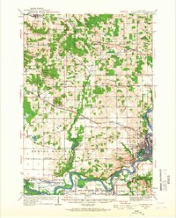
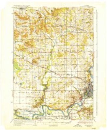
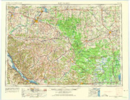
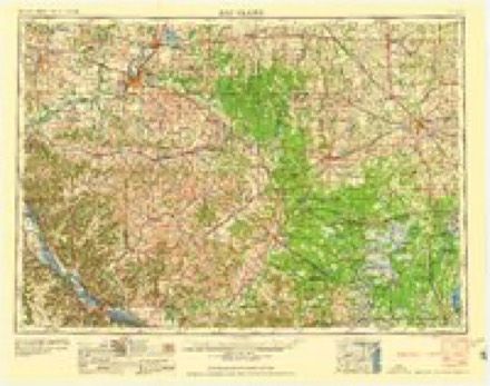
13 topographic sheets cover this place, the earliest surveyed in 1934 and the latest in 1985. It stands in Howard town. It lies in ZIP code area 54730. The Survey maps it on the Albertville quadrangle.
Topographic sheets covering this place
7 surveys from 13 printed sheetsMatched by testing this settlement's coordinate against the published boundary of every sheet in the United States Geological Survey's historical collection. Each opens the scanned sheet at the Survey.
- 1934 USGS Elk Mound quadrangle1:62500, 2 printings
- 1936 USGS Elk Mound quadrangle1:62500, 2 printings
- 1953 USGS Eau Claire quadrangle1:250000, 4 printings
- 1958 USGS Eau Claire quadrangle1:250000
- 1964 USGS Eau Claire quadrangle1:250000
- 1972 USGS Albertville quadrangle1:24000
- 1985 USGS Eau Claire quadrangle1:100000, 2 printings
Fires near this place
5 since 2018Regional context, not property-specific evidence. The federal wildfire occurrence database lists 5 fires within 5 miles of Albertville between 2018 and 2020, burning about 1 acre in total. None started naturally. None was recorded as arson. Distance is straight-line from the map coordinates, so a fire counted here may appear on a neighbouring settlement's page as well.
| Reported cause | Fires |
|---|---|
| Missing data/not specified/undetermined | 3 |
| Debris and open burning | 2 |
The most recent of them, most recent first, with the day each was reported and the service that recorded it.
| Date | Cause | Size | Reported by | Name on the report |
|---|---|---|---|---|
| 17 August 2018 | Missing data/not specified/undetermined | under an acre | Wisconsin Department of Natural Resources | 18196 |
| 27 May 2019 | Debris and open burning | under an acre | Wisconsin Department of Natural Resources | 19142 |
| 29 March 2018 | Debris and open burning | 1.0 acres | Wisconsin Department of Natural Resources | 18013 |
| 5 November 2020 | Missing data/not specified/undetermined | under an acre | Wisconsin Department of Natural Resources | 20265 |
| 20 October 2018 | Missing data/not specified/undetermined | under an acre | Wisconsin Department of Natural Resources | 18028 |
Settlements close enough to share some of these fires:
Mines and quarries near this place
2 within 5 milesRegional context, not property-specific evidence. The federal mineral resources record lists 2 workings within 5 miles of Albertville: 1 past producer, 1 producer. 1 still produces. What was taken out: Sand and Gravel, Construction. Distance is straight-line from the map coordinates, so a quarry counted here may appear on a neighbouring settlement's page as well.
| Where | Site | Commodity | Status | Recorded |
|---|---|---|---|---|
| Lane Pit | Sand and Gravel, Construction | Producer | ||
| Townline Road Gravel Pit | Sand and Gravel, Construction | Past Producer |
Storms near this place
12 since 1998Regional context, not property-specific evidence. The National Weather Service names Albertville in 12 storm reports between 1998 and 2022: 5 hail, 3 thunderstorm wind, 2 tornado, 1 flash flood. The reports record 3 injuries. Each account below is quoted exactly as the forecast office filed it, from the NOAA Storm Events Database, and each date opens the federal record of that event.
| When | Event | Place named | Harm | What the report says |
|---|---|---|---|---|
| September 2019 | Tornado (EF3) | Albertville | 3 hurt, $3,000,000 | This is the continuation track of the tornado in Dunn County that crossed 10th Street, south of 560th Avenue. As the tornado tracked northeast, the tornado intensified to an EF3 where considerable damage occurred near County Road X, or Highway 29, and 30th Street, or County Road M. The tornado crossed Highway 29, and move northeast until dissipating east of 50th Street, north of County Road X. ||Based on the NWS Storm Survey, the most significant damage occurred in Wheaton Township, or east of Elk Mound around the intersection of County Road M, and Highway 29. This area saw entire groves of trees leveled, some stripping of bark, and the destruction of several structures. The destruction of a metal building and two nearby homes were consistent with expected damage from winds of EF3 in strength.||The path length in Chippewa County was 4.7 miles, with a maximum width of 725 yards, or nearly a half mile wide. The maximum wind speed was near 150 mph.||There were three injuries with this tornado, but no fatalities. |
| September 2016 | Flash Flood | Albertville | $882,000 | Widespread flash flooding occurred across southern Chippewa County due to extreme rainfall rates, and amounts of 5 to 8 inches fell in less than 6 hours. A 50 foot section of railroad was damaged near Stanley, and there was minor damage to 12 businesses and homes, and 3 more with major damage. Total damages were estimated at $400,000 in the private section, $100,000 in railroad expenses, and $382,000 in roads, bridges and trails infrastructure. |
| May 2022 | Thunderstorm Wind | Albertville | - | A large tree was blown down near Albertville. |
| July 2020 | Tornado (EF0) | Albertville | - | Several storm chasers and trained spotters observed a tornado that tracked just north of Highway 29, west of Chippewa Falls. The tornado moved across open fields and wooded areas, knocking down or lofting large branches and corn stalks. The tornado was not in continuous contact with the ground, but instead made contact several times during the course of its lifetime. |
| March 2019 | Flood | Albertville | - | As snow began to melt, areal flooding started, especially along the smaller creeks and streams that lead into the Chippewa River. Two road closures occurred during the height of the flooding, and led to roadway erosion. |
| May 2016 | Thunderstorm Wind | Albertville | - | Numerous small trees were blown down around Albertville. |
| July 2015 | Thunderstorm Wind | Albertville | - | Several trees were blown down near Albertville. A spotter measured a wind gust of 57 knots from his private mobile wind sensor. |
| May 2016 | Hail | Albertville | - | no account filed |
| July 2008 | Hail | Albertville | - | no account filed |
| May 2008 | Hail | Albertville | - | no account filed |
| May 2008 | Hail | Albertville | - | no account filed |
| May 1998 | Hail | Albertville | - | no account filed |
Nearest settlements
The eight closest, with where each one stands in the county. Distances are straight-line, computed from the Geographic Names Information System coordinates.
| Map | Place | Distance | Sheets |
|---|---|---|---|
| Old Albertville | 1.6 miles | 13 | |
| Howard | 3.4 miles | 13 | |
| Pine Grove | 4.5 miles | 13 | |
| Tilden | 9.2 miles | 9 | |
| Irvine | 9.9 miles | 15 | |
| Pinehurst | 10.1 miles | 15 | |
| Lake Hallie | 10.3 miles | 15 | |
| Hallie | 10.4 miles | 15 |
Provenance
This settlement is recorded in the Geographic Names Information System as feature 1560729. The sheet list is computed by point-in-boundary test against the United States Geological Survey's historical topographic inventory. Both are works of the United States government and carry no copyright under 17 U.S.C. 105.
Wildfire. Short, Karen C. 2022. Spatial wildfire occurrence data for the United States, 1992-2020 [FPA_FOD_20221014]. 6th Edition. Fort Collins, CO: Forest Service Research Data Archive. https://doi.org/10.2737/RDS-2013-0009.6 Collected with United States Government funding and usable without additional permissions or fees.
Mines and quarries. USGS Mineral Resources Data System (MRDS) https://mrdata.usgs.gov/mrds/ A work of the United States government, no copyright under 17 U.S.C. 105.
Storms. NOAA National Centers for Environmental Information, Storm Events Database https://www.ncei.noaa.gov/stormevents/ A work of the United States government, no copyright under 17 U.S.C. 105. Narratives are quoted verbatim from the National Weather Service report and are not edited or summarised.