 Block
Almena, Wisconsin
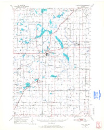
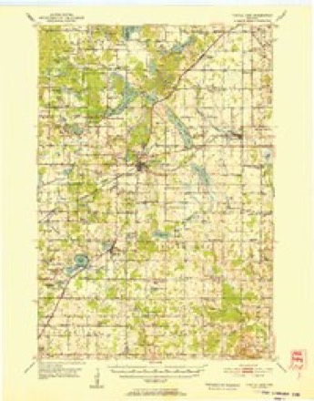
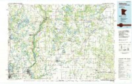
12 topographic sheets cover this place, the earliest surveyed in 1950 and the latest in 1985. It stands in Almena Village. It lies in ZIP code area 54805. The Survey maps it on the Almena quadrangle. 705 people lived here at the 2020 count. It stands 1,211 feet above sea level.
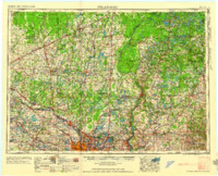
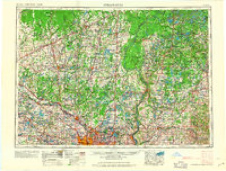
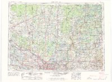
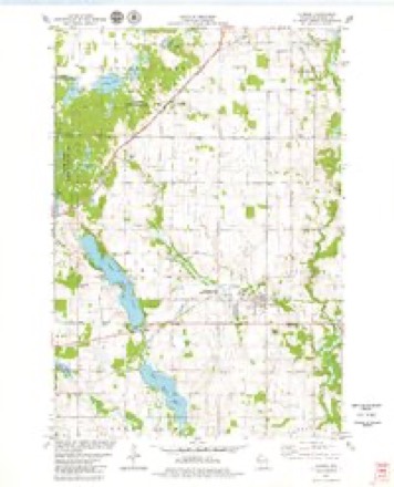
Topographic sheets covering this place
9 surveys from 12 printed sheetsMatched by testing this settlement's coordinate against the published boundary of every sheet in the United States Geological Survey's historical collection. Each opens the scanned sheet at the Survey.
- 1950 USGS Turtle Lake quadrangle1:62500
- 1952 USGS Turtle Lake quadrangle1:62500
- 1953 USGS Stillwater quadrangle1:250000
- 1955 USGS Stillwater quadrangle1:250000
- 1958 USGS Stillwater quadrangle1:250000, 2 printings
- 1965 USGS Stillwater quadrangle1:250000
- 1975 USGS Stillwater quadrangle1:250000, 2 printings
- 1978 USGS Almena quadrangle1:24000
- 1985 USGS Stillwater quadrangle1:100000, 2 printings
In the county-history sources
14,479 words on this townshipHistory of Barron County Wisconsin, published 1922 names this settlement in its chapter on Almena Village. These are the passages that mention it, exactly as the scans read.
The location of the vilage is on the south half of the northeast quarter and the north half of the southeast quarter of Section 24, Township 34 North, Range 14 West, the township and range corresponding to what is now known as Almena Township.
Passage source: History of Barron County Wisconsin, published 1922.
With the increase of population and the growing importance of the village as a sup¬ ply center, new enterprises of various kinds made their appearance, some of which had but a brief existence, but others have justified the faith of their founders. There are now in Almena about twenty business places, including a bank, special and gen¬ eral stores, garages, hotel, restaurant, bil¬ liard hall, blacksmith shop, lumber yard, fur and hide buying house, creamery and cheese factory, feed mill, grain elevator and several potato warehouses. The popu¬ lation is about 450.
Passage source: History of Barron County Wisconsin, published 1922.
A private creamery was started in Al¬ mena about 25 years ago, and was operated for two years, or until it burned down in 1898. In 1900 Charles Kaemmer established another institution of the same kind, under the name of the Almena Creamery, which was located across the tracks northeast of the railway depot. This he operated for sixteen years, or until Feb. 1, 1916, when he sold it to Richard Becker. The latter car¬ ried it on until the fall of 1917, when, like Its predecessor, it was destroyed by fire. Its place was taken by the present building, which stands on the same site, Just north of the railroad station, and which waB built In 1918 by Herman A. Curt, who is operat¬ ing it as a creamery and cheese factory. The creamery department has a cream pasitized by Google teurizing vat with a capacity of 400 gallons, a power churn and butter workers with a capacity of 600 pounds, and other conven¬ iences. The cheese department has two vats with a combined capacity of 10,000 pounds, a separator with a capacity of 4,000 pounds, cheese presses and the like, while the curing room has a capacity of 3,000 pounds. The plant is operated by electric¬ ity and steam. The daily intake in the busy season is about 11,000 pounds of milk for cheese, and about 3,000 pounds of butterfat. The butter, which is of high grade, is put up in prints and in tubs, the prints being sold mostly in this and neighboring vil¬ lages, and the tubs principally in the New York markets. The cheese, which is of the brick variety exclusively, is shipped to supply the wholesale and retail trade in Wisconsin and Minnesota. Mr. Curt has had long experience in the dairy products line and employs skilled helpers. His cheese and butter have won a high reputa¬ tion.
Passage source: History of Barron County Wisconsin, published 1922.
Machine-read from a century-old scan, so expect the errors a machine makes: misspelled names, dropped words, stray characters.
Read the whole chapter on Almena Village - it names this place 10 more 10 times.
Fires near this place
10 since 1992Regional context, not property-specific evidence. The federal wildfire occurrence database lists 10 fires within 5 miles of Almena between 1992 and 2020, burning about 11 acres in total. None started naturally. 1 was recorded as arson. Distance is straight-line from the map coordinates, so a fire counted here may appear on a neighbouring settlement's page as well.
| Reported cause | Fires |
|---|---|
| Debris and open burning | 4 |
| Missing data/not specified/undetermined | 3 |
| Power generation/transmission/distribution | 1 |
| Recreation and ceremony | 1 |
| Arson/incendiarism | 1 |
The most recent of them, most recent first, with the day each was reported and the service that recorded it.
| Date | Cause | Size | Reported by | Name on the report |
|---|---|---|---|---|
| 17 September 2019 | Debris and open burning | under an acre | Wisconsin Department of Natural Resources | 2019075 |
| 6 August 2019 | Debris and open burning | under an acre | Wisconsin Department of Natural Resources | 1928330 |
| 12 August 2020 | Missing data/not specified/undetermined | under an acre | Wisconsin Department of Natural Resources | 2026796 |
| 6 July 2018 | Missing data/not specified/undetermined | under an acre | Wisconsin Department of Natural Resources | 2018042 |
| 15 July 2019 | Power generation/transmission/distribution | under an acre | Wisconsin Department of Natural Resources | 2019062 |
| 6 May 2018 | Debris and open burning | under an acre | Wisconsin Department of Natural Resources | 1812441 |
| 5 May 2019 | Debris and open burning | 10 acres | Wisconsin Department of Natural Resources | 1914381 |
| 16 May 2020 | Missing data/not specified/undetermined | under an acre | Wisconsin Department of Natural Resources | 2013952 |
Settlements close enough to share some of these fires:
Mines and quarries near this place
10 of 39 shownRegional context, not property-specific evidence. The federal mineral resources record lists 39 workings within 5 miles of Almena: 18 past producers, 17 occurrences, 4 producers. 4 still produce. What was taken out: Sand and Gravel, Construction. Distance is straight-line from the map coordinates, so a quarry counted here may appear on a neighbouring settlement's page as well.
| Where | Site | Commodity | Status | Recorded |
|---|---|---|---|---|
| A. & J. Stoeberl Gravel Deposit | Sand and Gravel, Construction | Occurrence | ||
| Alfred Koser Gravel Pit | Sand and Gravel, Construction | Past Producer | ||
| Almena Gravel Pit #1 | Sand and Gravel, Construction | Past Producer | ||
| Almena Gravel Pit #2 | Sand and Gravel, Construction | Past Producer | ||
| Almena Pit | Sand and Gravel, Construction | Producer | ||
| Alois & Kath Stoeberl Gravel Pit | Sand and Gravel, Construction | Past Producer | ||
| Arland Pit | Sand and Gravel, Construction | Producer | ||
| Arland Pit | Sand and Gravel, Construction | Past Producer | ||
| Barbara Heintz Gravel Pit | Sand and Gravel, Construction | Past Producer | ||
| Charles Humphrey Gravel Pit | Sand and Gravel, Construction | Past Producer |
Storms near this place
9 since 1997Regional context, not property-specific evidence. The National Weather Service names Almena in 9 storm reports between 1997 and 2018: 3 hail, 3 thunderstorm wind, 2 tornado, 1 funnel cloud. No death or injury is recorded in these reports. Each account below is quoted exactly as the forecast office filed it, from the NOAA Storm Events Database, and each date opens the federal record of that event.
| When | Event | Place named | Harm | What the report says |
|---|---|---|---|---|
| August 2018 | Thunderstorm Wind | Almena | - | Numerous large tree limbs were blown down in Almena. |
| June 2017 | Thunderstorm Wind | Almena | - | A few medium sized trees were downed and a greenhouse was blown over. |
| June 2008 | Funnel Cloud | Almena | - | A funnel cloud near Almena was photographed. Numerous calls from citizens came into the county law enforcement center. There were no reports of any touchdowns. There were no storms in the area, but there was a wind shift line and towering cumulus. |
| June 2005 | Thunderstorm Wind | Almena | - | Minor tree damage was reported. |
| June 2005 | Tornado (F1) | Almena | - | An F1 tornado touched down near the intersection of 7th Street and 18th Avenue and traveled northeast for 5 miles before lifting just northeast of the Cumberland Airport near Upper Vermillion Lake. The most concentrated area of damage occurred just east of 8th Street north and south of 20th Avenue southeast of Cumberland. Along 8th Street about one half mile south of 20th Avenue the metal roofs of two tall silos were torn off, the east corner of a pole barn was damaged, a detached barn collapsed, three outbuildings were destroyed, a hay shed was damaged, and numerous trees were downed. Along 20th Avenue just east of 8th Street a detached garage was destroyed, the south facing window on a farmhouse was blown in, a horse shed was damage, a dog was killed, and numerous trees were sheared off 6 to 8 feet above the ground. Along 7th Street just north of 18th Avenue where the tornado first touched down, a tin roof was ripped off a shed, a pole barn was downed, trees were downed, and a steel windmill was blown over. Near the end of the tornado's path just southeast of the intersection of County Road T and 21st Avenue a storage barn collapsed onto a boat, motor, and business equipment. Shingles were also ripped off the roof of a home. A hanger on the eastern edge of the Cumberland Airport near County Road T was also slightly damaged. |
| June 2005 | Tornado (F0) | Almena | - | The tornado was reported by law enforcement officers and was widely photographed and videotaped. The tornado touched down near 18th Avenue and 5th Street and moved east along 18th Avenue. It moved across open fields, picked up dirt, and damaged some trees. |
| June 2001 | Hail | Almena | - | no account filed |
| August 1997 | Hail | Almena | - | no account filed |
| September 1997 | Hail | Almena | - | no account filed |
Nearest settlements
The eight closest, with where each one stands in the county. Distances are straight-line, computed from the Geographic Names Information System coordinates.
| Map | Place | Distance | Sheets |
|---|---|---|---|
| Poskin | 3.8 miles | 7 | |
| Twin Town | 3.9 miles | 12 | |
| Comstock | 4.8 miles | 12 | |
| Arland | 5.4 miles | 12 | |
| Turtle Lake | 6.0 miles | 12 | |
| Cumberland | 8.0 miles | 13 | |
| Barron | 9.8 miles | 7 | |
| Hillsdale | 11.5 miles | 7 |
Elsewhere
Matched on this settlement's Geographic Names Information System number rather than its name, so it cannot be a different place of the same name in another state.
| Wikipedia article on Almena | An encyclopaedic summary. Its text is share-alike, so it is linked here rather than copied. |
| Wikidata item Q2315372 | The structured record the population and elevation above come from. Public domain (CC0). |
Provenance
This settlement is recorded in the Geographic Names Information System as feature 1560800. The sheet list is computed by point-in-boundary test against the United States Geological Survey's historical topographic inventory. Both are works of the United States government and carry no copyright under 17 U.S.C. 105.
Wildfire. Short, Karen C. 2022. Spatial wildfire occurrence data for the United States, 1992-2020 [FPA_FOD_20221014]. 6th Edition. Fort Collins, CO: Forest Service Research Data Archive. https://doi.org/10.2737/RDS-2013-0009.6 Collected with United States Government funding and usable without additional permissions or fees.
Mines and quarries. USGS Mineral Resources Data System (MRDS) https://mrdata.usgs.gov/mrds/ A work of the United States government, no copyright under 17 U.S.C. 105.
Storms. NOAA National Centers for Environmental Information, Storm Events Database https://www.ncei.noaa.gov/stormevents/ A work of the United States government, no copyright under 17 U.S.C. 105. Narratives are quoted verbatim from the National Weather Service report and are not edited or summarised.