 Block
Belmont, Wisconsin
13 topographic sheets cover this place, the earliest surveyed in 1902 and the latest in 1984. It stands in Belmont Village. It lies in ZIP code area 53510. The Survey maps it on the Belmont quadrangle. 989 people lived here at the 2020 count. It stands 1,181 feet above sea level.
On record in Belmont
Buildings and businesses the archive holds for this place. Each opens its own page, with the source record it came from.
On the National Register 1 record
- First Capitollisted 1970
Population over time
2 figuresBelmont grew from 986 to 989 between 2010 and 2020. These are the recorded population figures Wikidata holds for this place, reached through the Geographic Names Information System number this page is keyed on rather than by name, so they belong to this place and not to another of the same name. Most are census counts, but not all are: an early figure may be a founding or settlement estimate, and an estimate published within five years of a census is left out. The change column is computed, and is left blank where more than 20 years separate a figure from the one before it, because a gap that long is not a change between two counts.
| Year | People | Change |
|---|---|---|
| 2010 | 986 | |
| 2020 | 989 | +3 (+0%) |
Topographic sheets covering this place
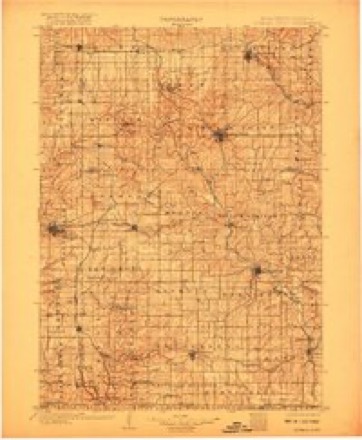
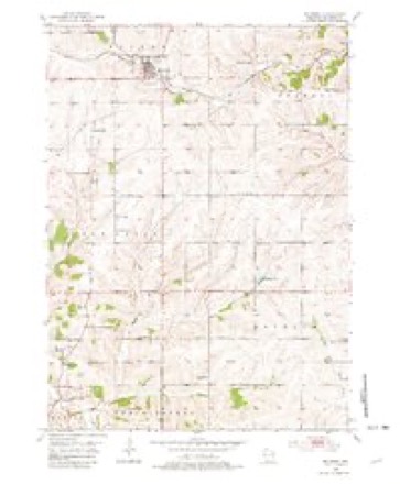
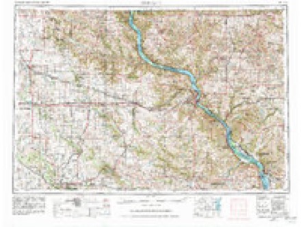
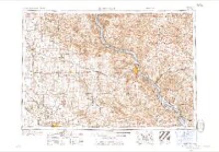
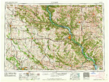
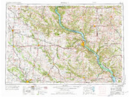
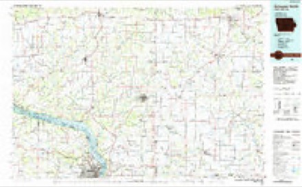
7 surveys from 13 printed sheetsMatched by testing this settlement's coordinate against the published boundary of every sheet in the United States Geological Survey's historical collection. Each opens the scanned sheet at the Survey.
- 1902 USGS Mineral Point quadrangle1:125000, 4 printings
- 1952 USGS Belmont quadrangle1:24000, 2 printings
- 1959 USGS Dubuque quadrangle1:250000
- 1961 USGS Dubuque quadrangle1:250000
- 1962 USGS Dubuque quadrangle1:250000, 2 printings
- 1976 USGS Dubuque quadrangle1:250000
- 1984 USGS Dubuque North quadrangle1:100000, 2 printings
What happened here
An account from the chapter on Belmont village. The inset identifies its exact source book and publication year.
Col. John Moore
Col. Moore was born in the year 1784 (January 28), in the State of North Carolina, and emigrated to West Tennessee in the year 1802. While living in that State, he setved in the war of 1812, under Gen. Jackson, and commanded a company as Captain, and participated in the memorable battle of New Orleans, having a brother and brother-in-law killed in that engatrement.
In the county-history sources
16,814 words on this townshipHistory of Lafayette County, Wisconsin, Containing an Account of Its Settlement, Growth, Development and Resources; an Extensive and Minute Sketch of Its Cities, Towns and Villages ... Its War Record, Biographical Sketches ... the Whole Preceded by a History of Wisconsin, Statistics of the State, and an Abstract of Its Laws and Constitution, and of the Constitution of the United States, published 1881 names this settlement in its chapter on Belmont Village. These are the passages that mention it, exactly as the scans read.
Belmont is in the extreme northwest corner of La Fayette County, comprising Townships 3 and 4 north. Ranges 1 and 2 east, of the Fourth Principal Meridian. In 1862, Sections 6, 7, 18, 19, 30 and 31 were taken by act of Legislature from the town of Kendall and attached to Belmont, which is now composed of forty-two sections. It derives its name from the mounds within its limits. At an early day, French travelers who were passing through this region, pursuing their explorations of the Northwest, discovered the mounds and named them " Belle Monte," signifying beautiful mountain. These mounds are three in number, one near the center of the town, called "'Belmont Mound," and two in the western part, termed respectively " Little Mound" and "Platte Mound." The mounds of Belmont are known throughout the southern part of the State, and are visited annually by hundreds of tourists. The general surface of the town is a beautiful rolling prairie, and, to the eye of the traveler passing through the town, it forms a magnificent view. There are about four square miles of uncultivated land in the town. This embraces the northeast corner, which is known as the Welsh Settlement. The soil of the town is a black loam, and will average about twelve inches deep. This soil is recognized as being valuable, especially for the cultivation of corn and oats, the yield of this product being enormous. Stock is raised quite extensively in Belmont, owing to the peculiar adaptation of the town for this branch of industry. At one time, flax was prominent among the products, but of late years it has been abandoned. Located in different parts of the town, may be found valuable groves of small timber of the different kinds indigenous to this locality, ash, black and white oak.
In 1868, the Platteville Branch of the Mineral Point Railroad was built through it, crossing Sections 13, 14, 15, 10, 9, 8, 7, and passing into Grant County from Section 18. The earliest settler and pioneer in the town of Belmont, is a Mr. Bonner, who immigrated to the county in the year 1827, and located the farm in Section 10, now owned and occupied by Edwin Johnson. During the same year, Thomas Welsh came to this town and settled near "Old Belmont." Soon after, in 1828, came Robert Terry; in 1829, Col. James H. Gentry and Oliver Holzhouser; and, in 1830, followed James Wiswell. Moses Eastman, Cornelius
Always in the early settlement of a new country is found a sharp appreciation of educational institutions, and the settlement of Belmont is no exception to the rule ; for, as early as 1833, a school was established in the old building used for storing the minerals of the abandoned smelting works, and John Boyer was engaged to instruct the dozen scholars in attendance. To show the contrast between past and present, there are now in the town of Belmont seven schoolhouses, requiring the services of eight teachers. The number of children in the town over four and under twenty years of age aggregates 423. The average wages paid to male teachers is $37.50 ; to female teachers, $25. The value of school property in the town, as shown by the report of the Town Clerk of 1880, is $5,975. The first district school in Belmont was established in 1842, on Section 3, Nathan Olmsted being employed as teacher, and paid by subscription. At this school, books of all kinds and from all parts of the Union were studied. Previous to the founding of Old Belmont, the citizens of this town received their mail from Mineral Point, Iowa County.
Machine-read from a century-old scan, so expect the errors a machine makes: misspelled names, dropped words, stray characters.
Read the whole chapter on Belmont Village - it names this place 33 more 33 times.
Fires near this place
4 since 2018Regional context, not property-specific evidence. The federal wildfire occurrence database lists 4 fires within 5 miles of Belmont between 2018 and 2019, burning about 1 acre in total. None started naturally. None was recorded as arson. Distance is straight-line from the map coordinates, so a fire counted here may appear on a neighbouring settlement's page as well.
| Reported cause | Fires |
|---|---|
| Missing data/not specified/undetermined | 4 |
The most recent of them, most recent first, with the day each was reported and the service that recorded it.
| Date | Cause | Size | Reported by | Name on the report |
|---|---|---|---|---|
| 11 July 2018 | Missing data/not specified/undetermined | 1.0 acres | Wisconsin Department of Natural Resources | 2318 |
| 5 May 2019 | Missing data/not specified/undetermined | under an acre | Wisconsin Department of Natural Resources | 2319 |
| 7 April 2018 | Missing data/not specified/undetermined | under an acre | Wisconsin Department of Natural Resources | 2018057 |
| 2 April 2019 | Missing data/not specified/undetermined | under an acre | Wisconsin Department of Natural Resources | 1619 |
Settlements close enough to share some of these fires:
Mines and quarries near this place
10 of 14 shownRegional context, not property-specific evidence. The federal mineral resources record lists 14 workings within 5 miles of Belmont: 7 past producers, 3 unknowns, 2 prospects, 2 producers. 2 still produce. What was taken out: Stone, Crushed/Broken, Zinc, Lead, Zinc, Lead. Distance is straight-line from the map coordinates, so a quarry counted here may appear on a neighbouring settlement's page as well.
| Where | Site | Commodity | Status | Recorded |
|---|---|---|---|---|
| Negro Jim Mine | Lead, Barium-Barite, Zinc | Past Producer | Galena | |
| Reddy Seiling Quarry | Stone | Unknown | ||
| Beacon Light Mine | Zinc, Lead | Unknown | Sphalerite | |
| De Rocher Mine | Lead, Zinc | Past Producer | 1935 | |
| Kingeter | Lead, Zinc | Prospect | 1906 | |
| Kingeter Mine | Zinc, Lead | Unknown | Sphalerite | |
| Beacon Light | Zinc | Prospect | 1908 | |
| Belmont Quarry | Stone, Crushed/Broken | Producer | ||
| Hardy Quarry | Stone, Crushed/Broken | Past Producer | ||
| Huggins Quarry | Stone, Crushed/Broken | Producer |
Storms near this place
40 since 1997Regional context, not property-specific evidence. The National Weather Service names Belmont in 40 storm reports between 1997 and 2025: 19 thunderstorm wind, 14 hail, 2 tornado, 2 flash flood. The reports record 1 injury. Each account below is quoted exactly as the forecast office filed it, from the NOAA Storm Events Database, and each date opens the federal record of that event.
| When | Event | Place named | Harm | What the report says |
|---|---|---|---|---|
| May 2003 | Tornado (F1) | Belmont | 1 hurt, $200,000 | A tornado spun up 5.0 miles southwest of the village Belmont (Lafayette Co.), near the intersection of Pine Tree and Field Drive, and proceeded to track northeast to near Belmont before dissipating 2.7 miles northeast of Belmont (just southeast of the intersection of Cottage Inn Road and Bethel Grove Rd). Just east of Belmont, the tornado destroyed a farm's mobile home, injuring one of five people inside. In addition, a pole shed on this farm was damaged. On two other farms, this tornado inflicted minor to extensive damage on homes, barns, wind mills, and decks. Law enforcement officials video taped this tornado; estimated at the top end of F1 (about 110 mph). |
| April 2006 | Hail | Belmont | $2,380,000 | no account filed |
| July 2009 | Hail | Belmont | $500,000 | A 5-mile wide hail swath damaged crops (corn, soy beans, wheat, and alfalfa), vehicles (windows and dents), and at least 25 homes (windows, siding, and roofs). This hail swath merged with a another, later, hail swath, with the merger southeast of Shullsburg. Some fields southeast of Shullsburg were totally stripped by the hail stones.||Newspaper accounts indicated that the two hail swaths resulted in damage to 20,000 acres of corn and 10,000 acres of soybeans in Lafayette County. Using an avarge of 135 bushes of corn per acre with a price of $3.45 per bushels yields a corn loss of $9.315 M. Using an average of 38 bushels of soybeans per acre, and a price of $9.25 per bushel yields a soybean loss of $3.515 M. These loss estimates were divided by two and assigned to the two hail swaths equally. |
| July 2011 | Thunderstorm Wind | Belmont | $200,000 | Law enforcement reported damage in a 15-mile wide swath from southwest of Belmont to Woodford from thunderstorm wind gusts estimated at 75 mph (65 knots). Downed trees blocked roads and fallen power lines caused power outages in the towns of Belmont, Argyle and Darlington. Six homes were damaged, and a 100-year-old 38 foot by 100 foot barn was flattened on a farm near Argyle, damaging a tractor inside. |
| August 2021 | Thunderstorm Wind | Belmont | $40,000 | Dispatch reported damage to home caused by a falling tree and a downed tree on Olson Lane, SSE of Mineral Point. |
| July 2009 | Flash Flood | Belmont | $30,000 | Heavy rains from severe thunderstorms produced flash flooding that washed out the gravel shoulders of roads in and near Belmont in Lafayette County. Damage due to the flash flooding totaled $30,000. Rainfall estimates from National Weather Service radar totaled 2 to 3 inches during this time. |
| August 2007 | Thunderstorm Wind | Belmont | $25,000 | Powerful thunderstorm wind gusts to 52 knots (60 mph) toppled several large trees and damaged several power-lines. |
| July 2023 | Thunderstorm Wind | Belmont | $20,000 | Multiple trees down in the Belmont area. A grain bin was blown into power lines. |
| September 2000 | Hail | Belmont | $20,000 | no account filed |
| May 1997 | Lightning | Belmont | $17,000 | Lightning struck and killed 13 milk cows |
| June 2000 | Thunderstorm Wind | Belmont | $15,000 | no account filed |
| July 2009 | Thunderstorm Wind | Belmont | $10,000 | Powerful thunderstorm winds toppled dozens of trees and damaged a shed. |
| July 2006 | Thunderstorm Wind | Belmont | $5,000 | Trees and power lines down. |
| May 2017 | Thunderstorm Wind | Belmont | $3,000 | Several trees and limbs down along highway 126. |
| April 2002 | Hail | Belmont | $3,000 | no account filed |
| June 2019 | Thunderstorm Wind | Belmont | $2,000 | Scattered branches and trees down in the Belmont area. |
| September 2018 | Flash Flood | Belmont | $2,000 | A few roads closed in Belmont and Darlington due to flooding. |
| June 2013 | Thunderstorm Wind | Belmont | $2,000 | A trained spotter recorded a thunderstorm wind gust of 60 mph (56 knots). |
| May 2000 | Hail | Belmont | $2,000 | no account filed |
| June 1998 | Thunderstorm Wind | Belmont | $2,000 | no account filed |
| July 1997 | Hail | Belmont | $1,000 | no account filed |
| June 1997 | Thunderstorm Wind | Belmont | $1,000 | no account filed |
| April 2002 | Hail | Belmont | $500 | no account filed |
| June 2024 | Tornado (EF0) | Belmont | - | Tornado filmed by multiple storm chasers and mainly went through farmland. One barn was hit and lost sheet metal on the roof. Tree damage was noted as well. |
| May 2008 | Thunderstorm Wind | Belmont | - | Powerful thunderstorm straight-line winds toppled trees. Hail of 1/4 inch to 1/2 inch in diameter accompanied the winds. |
| July 2008 | Thunderstorm Wind | Belmont | - | Powerful thunderstorm winds toppled large trees. |
| July 2008 | Thunderstorm Wind | Belmont | - | Powerful thunderstorm wind gusts broke large branches. |
| August 2007 | Thunderstorm Wind | Belmont | - | Powerful thunderstorm wind gusts to around 52 knots (60 mph) toppled saeveral large trees and branches. |
| April 2025 | Hail | Belmont | - | no account filed |
| April 2025 | Hail | Belmont | - | no account filed |
| July 2023 | Hail | Belmont | - | no account filed |
| September 2012 | Hail | Belmont | - | no account filed |
| April 2011 | Hail | Belmont | - | no account filed |
| March 2007 | Funnel Cloud | Belmont | - | no account filed |
| April 2006 | Hail | Belmont | - | no account filed |
| May 2004 | Thunderstorm Wind | Belmont | - | no account filed |
| August 2004 | Thunderstorm Wind | Belmont | - | no account filed |
| October 2004 | Thunderstorm Wind | Belmont | - | no account filed |
| April 2003 | Heavy Rain | Belmont | - | no account filed |
| May 2000 | Hail | Belmont | - | no account filed |
Nearest settlements
The eight closest, with where each one stands in the county. Distances are straight-line, computed from the Geographic Names Information System coordinates.
| Map | Place | Distance | Sheets |
|---|---|---|---|
| Leslie | 2.9 miles | 13 | |
| Ipswich (historical) | 4.5 miles | 13 | |
| Elk Grove | 5.4 miles | 13 | |
| Truman | 5.7 miles | 12 | |
| Meekers Grove | 6.5 miles | 13 | |
| Jenkinsville | 7.2 miles | 13 | |
| Slateford | 8.2 miles | 14 | |
| Calamine | 9.1 miles | 12 |
Elsewhere
Matched on this settlement's Geographic Names Information System number rather than its name, so it cannot be a different place of the same name in another state.
| Wikipedia article on Belmont | An encyclopaedic summary. Its text is share-alike, so it is linked here rather than copied. |
| Wikidata item Q2417418 | The structured record the population and elevation above come from. Public domain (CC0). |
Provenance
This settlement is recorded in the Geographic Names Information System as feature 1561546. The sheet list is computed by point-in-boundary test against the United States Geological Survey's historical topographic inventory. Both are works of the United States government and carry no copyright under 17 U.S.C. 105.
Wildfire. Short, Karen C. 2022. Spatial wildfire occurrence data for the United States, 1992-2020 [FPA_FOD_20221014]. 6th Edition. Fort Collins, CO: Forest Service Research Data Archive. https://doi.org/10.2737/RDS-2013-0009.6 Collected with United States Government funding and usable without additional permissions or fees.
Mines and quarries. USGS Mineral Resources Data System (MRDS) https://mrdata.usgs.gov/mrds/ A work of the United States government, no copyright under 17 U.S.C. 105.
Storms. NOAA National Centers for Environmental Information, Storm Events Database https://www.ncei.noaa.gov/stormevents/ A work of the United States government, no copyright under 17 U.S.C. 105. Narratives are quoted verbatim from the National Weather Service report and are not edited or summarised.